


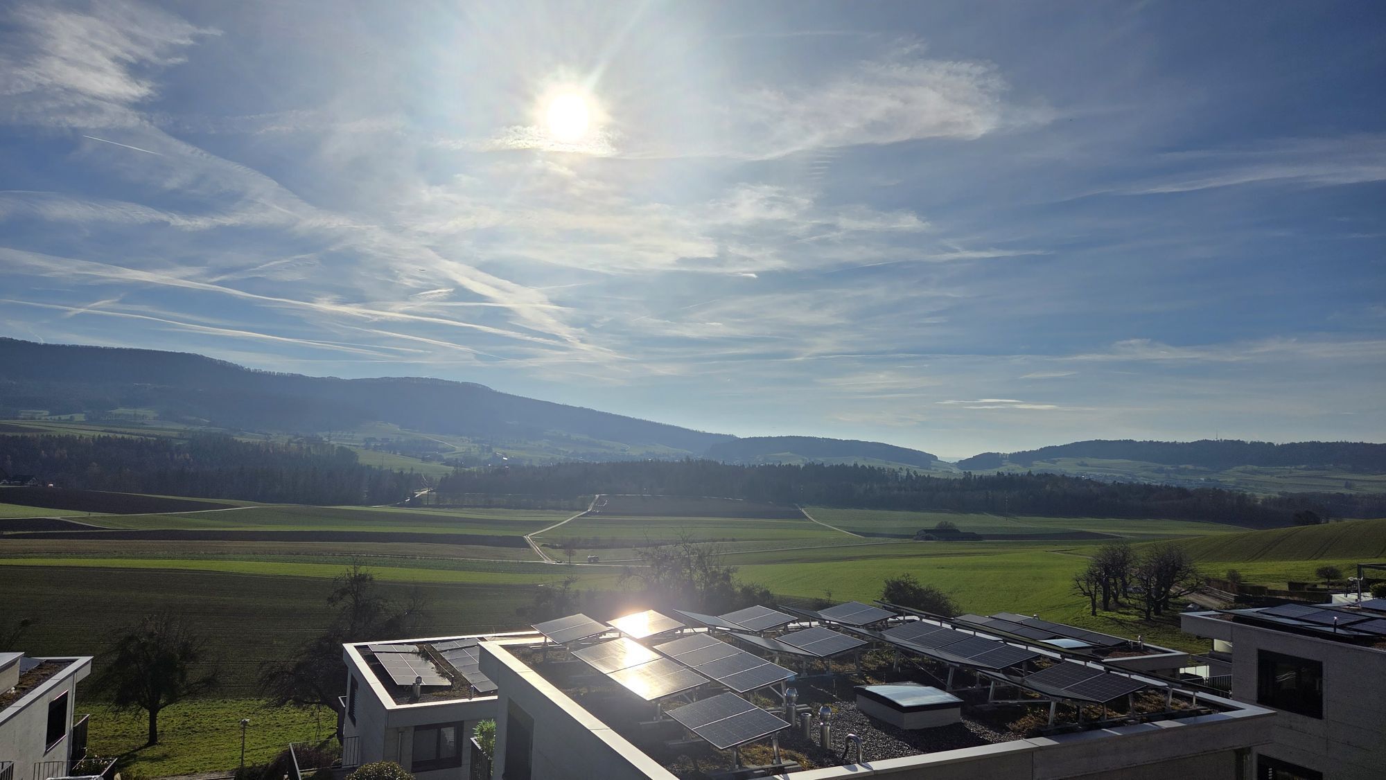
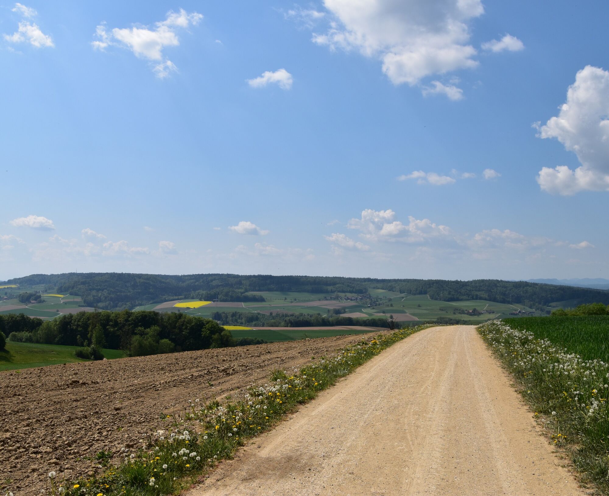
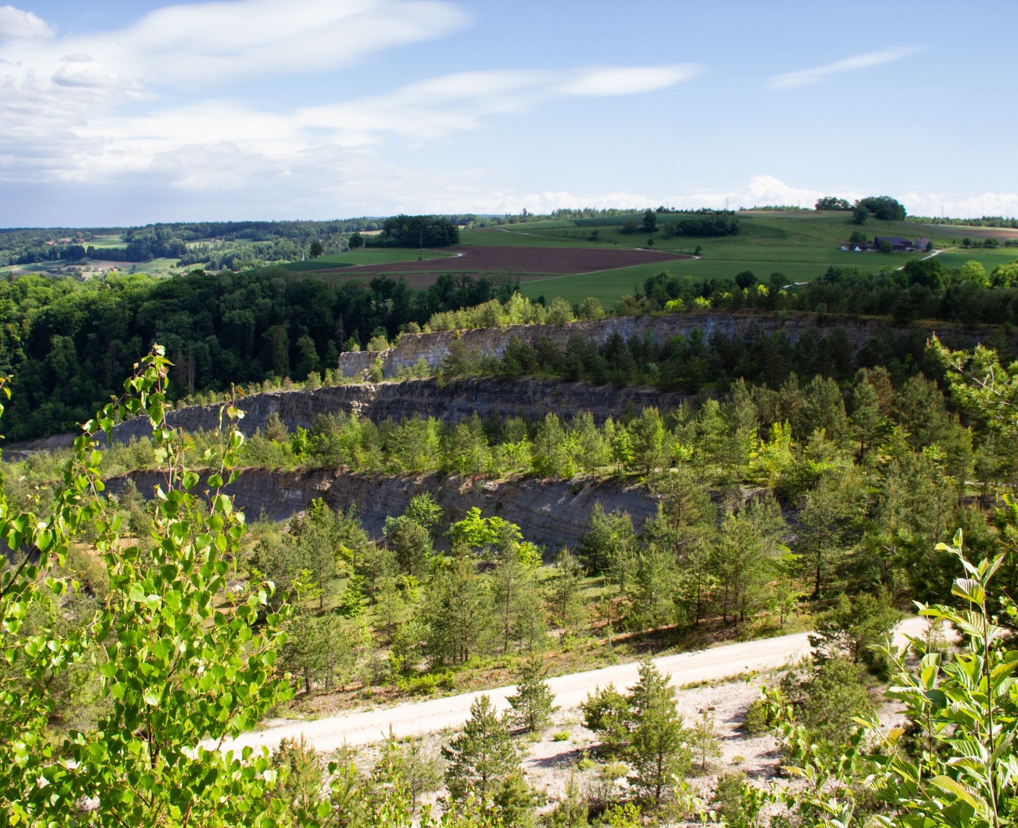
Between forest and hill
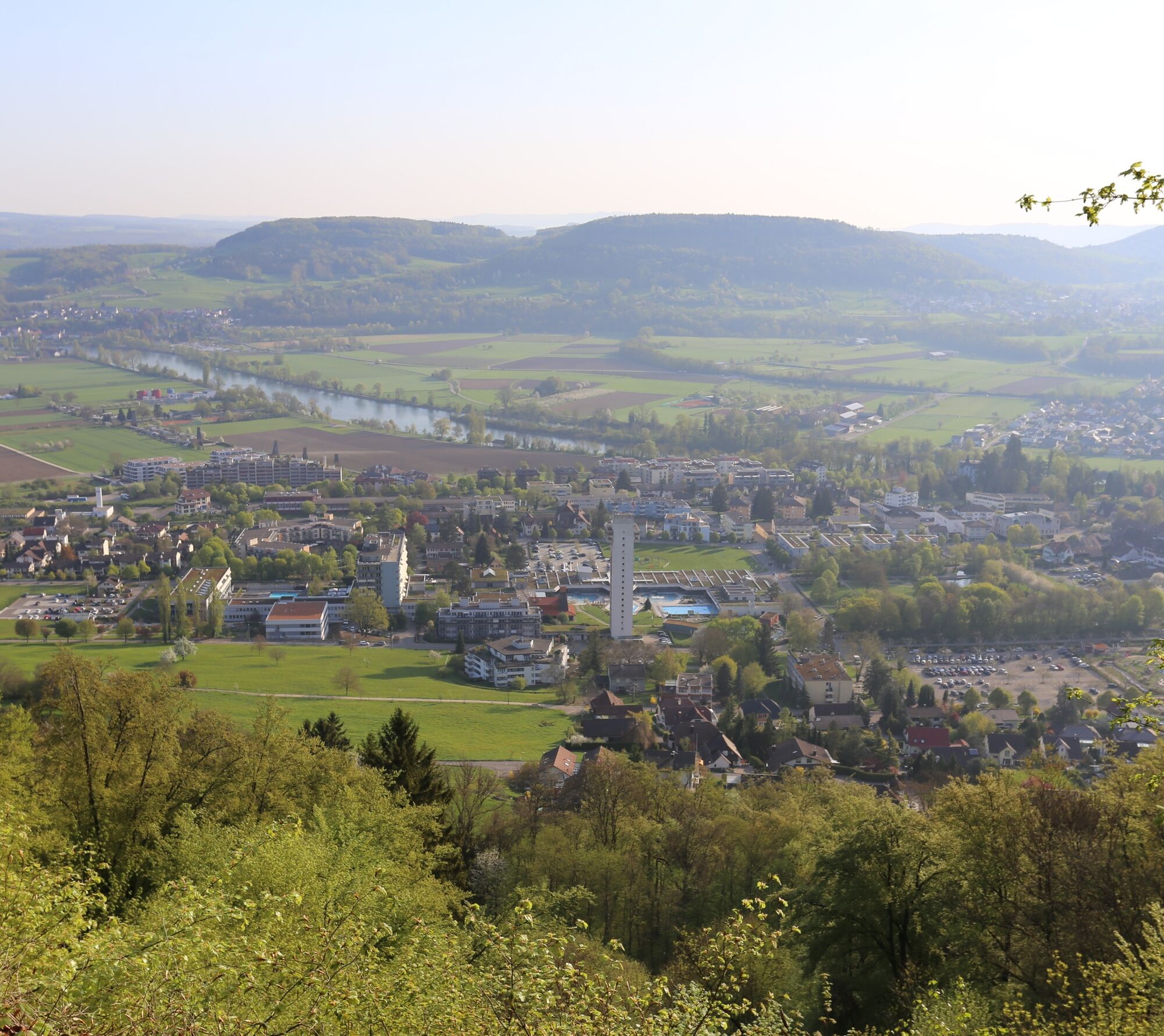
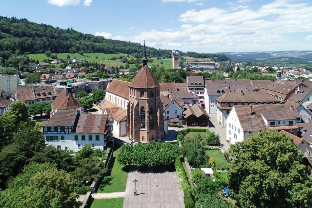
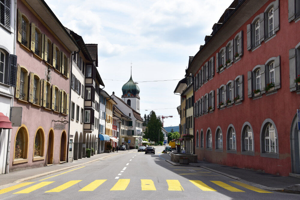
The hike begins in the spa town of Bad Zurzach. From there, the trail takes you through picturesque landscapes and past the charming villages of Baldingen and Schneisingen. The trail offers breathtaking...
After a varied route, you finally reach Niederweningen, from where you can take the train and bus back to Bad Zurzach.

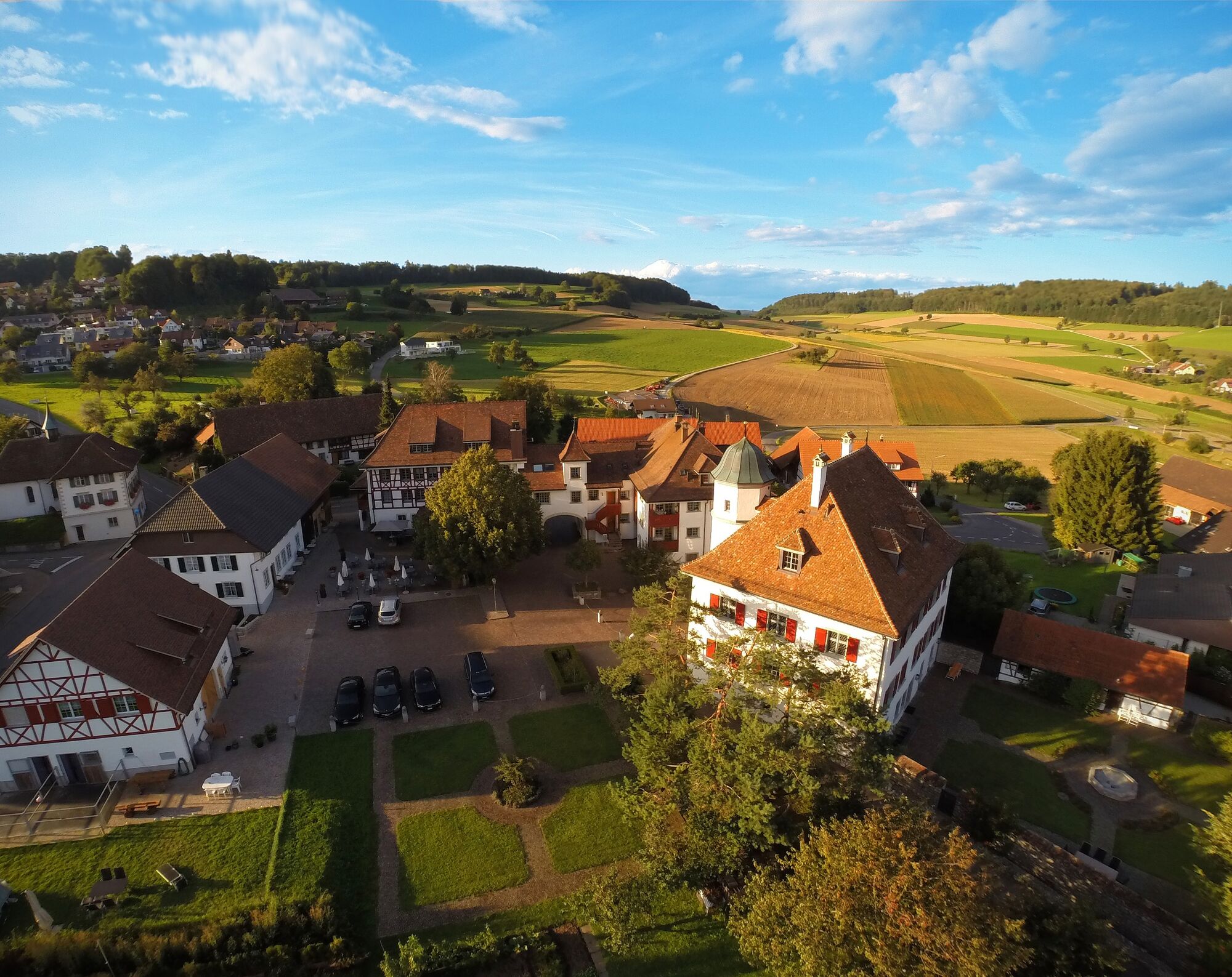
Bad Zurzach - Baldingen - Schneisingen - Niederweningen
There are no catering facilities on the way to Schneisingen, so we recommend that you take a rucksack with food with you.
It is around 25 minutes from Baden, 35 minutes from Zurich or Kloten Airport and 40 minutes from Schaffhausen to Bad Zurzach.
Bad Zurzach can be reached by bus from Brugg or by train from Baden or Waldshut.
Parking is available in the paid parking lot of the Therme Zurzach.
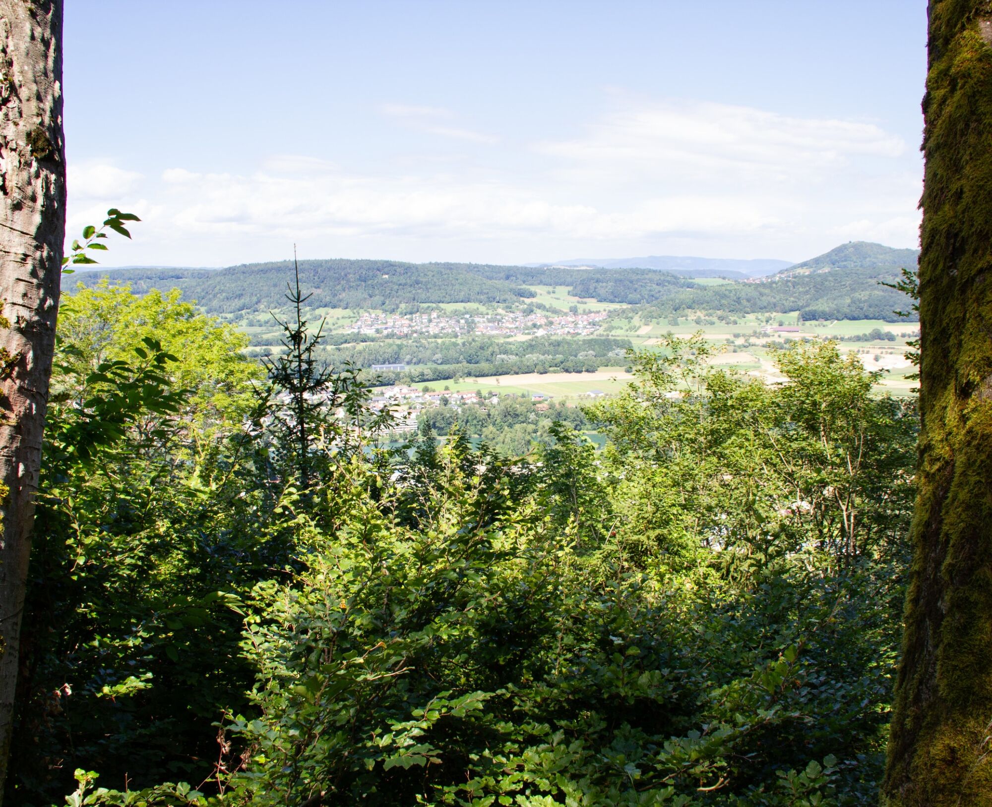
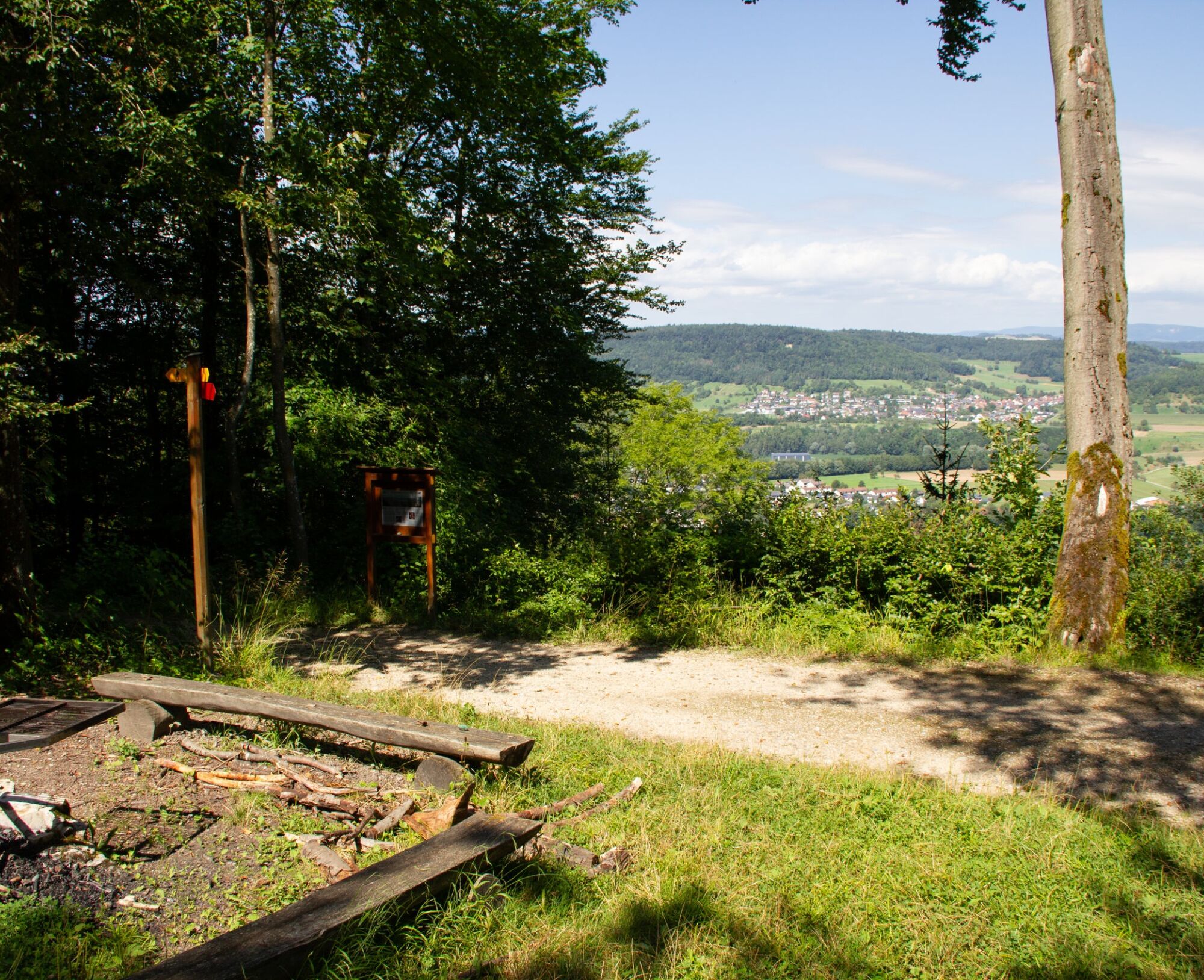
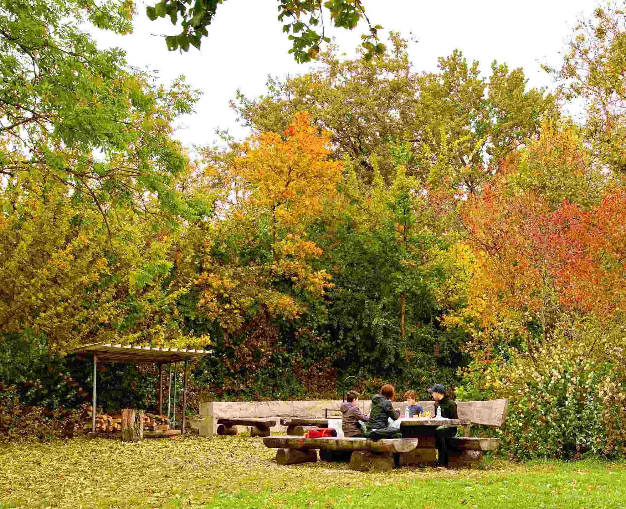
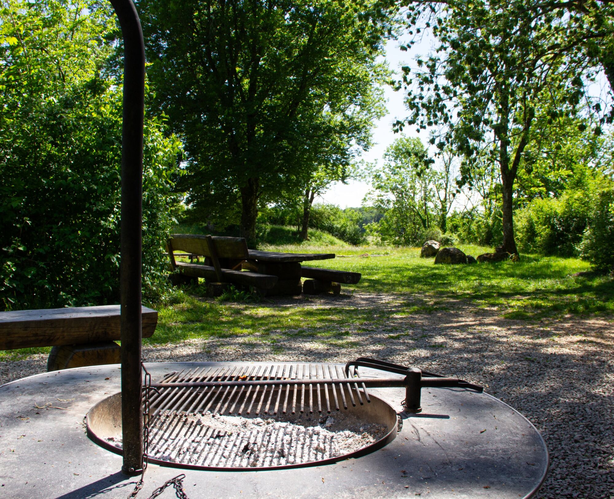
It's worth stopping at one of our viewpoints along the way.
Popularne wycieczki w okolicy
- 5,0
Lägern ridge hike
średniWędrówka 12,0 km - 3,8
Chänzeli -Tour: Eine Panorama - Stadtwanderung
światłoWędrówka 7,81 km - 4,5
Lägern Rundwanderung
średniWędrówka 13,0 km - 4,0
Gratwanderung über die Lägern
ciężkiWędrówka 14,8 km - 4,0
Cross-border Rhine riverside path
światłoWędrówka 7,81 km Around the Klingnau reservoir
światłoWędrówka 10,7 km- 5,0
Schinznach Bad - Brugg, Schweiz
światłoWędrówka 10,5 km - 5,0
Bad Zurzach - Hörndli - Rekingen - Bad Zurzach
średniWędrówka 9 km - 5,0
Limmat Cultural Route
światłoTrasa tematyczna 8,77 km Bad Zurzach-Achenberg-Zurzacherberg-Bad Zurzach
średniWędrówka 8,74 km
Wędrówki i tropienie


Nie przegap ofert i inspiracji na następne wakacje
Twój adres e-mail została dodana do listy mailingowej.