


Around the Klingnau reservoir
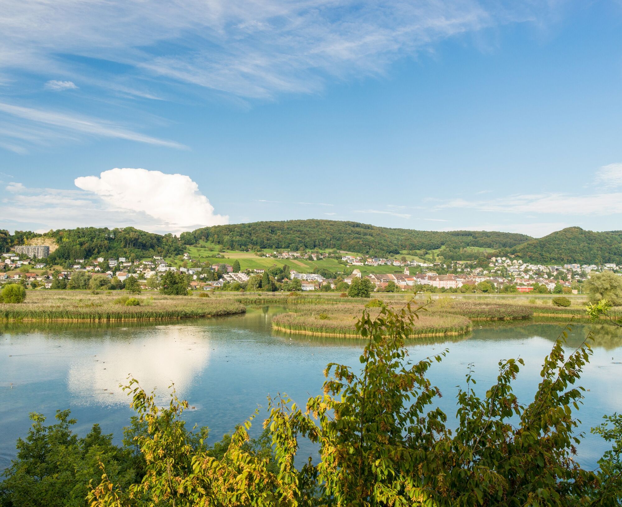
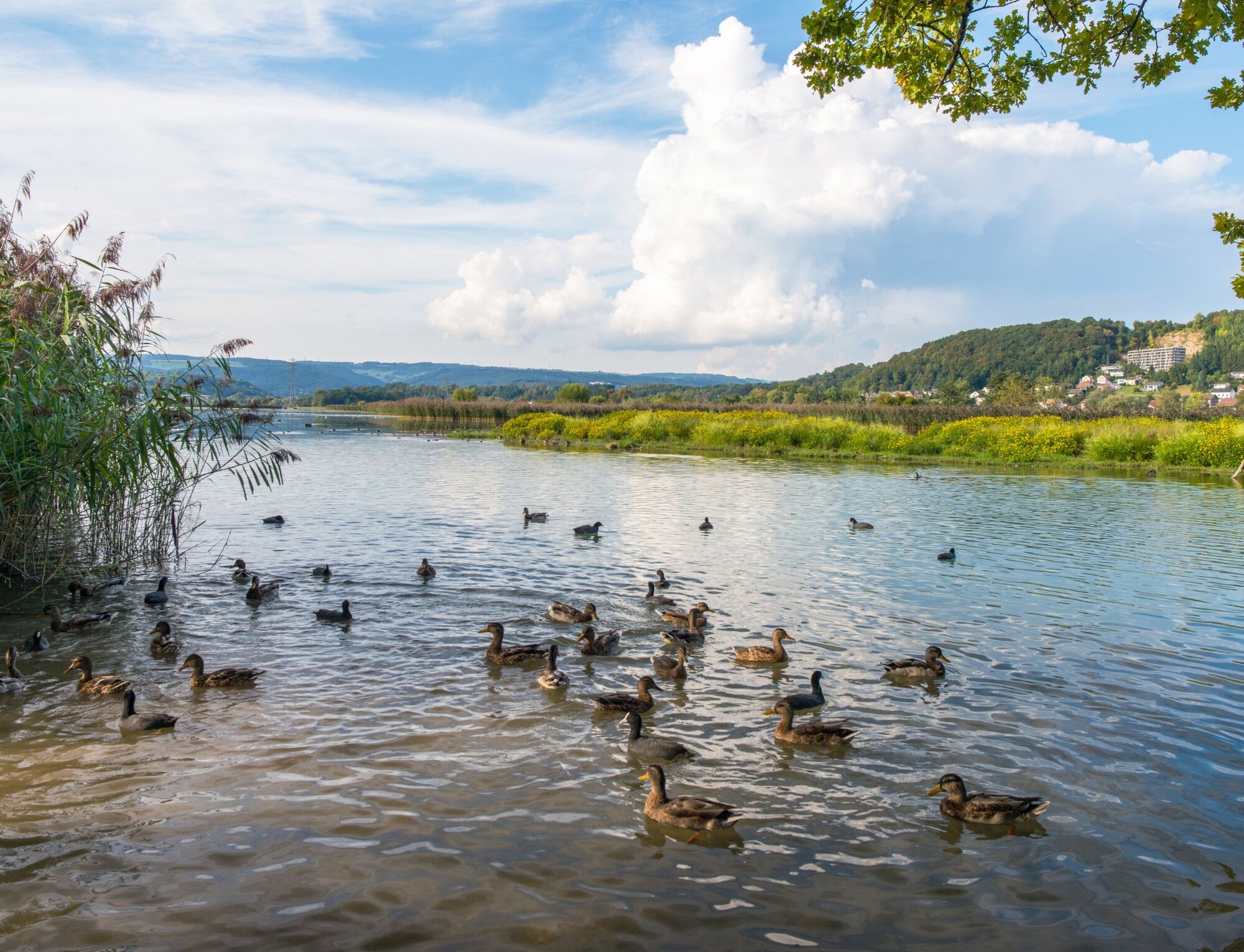
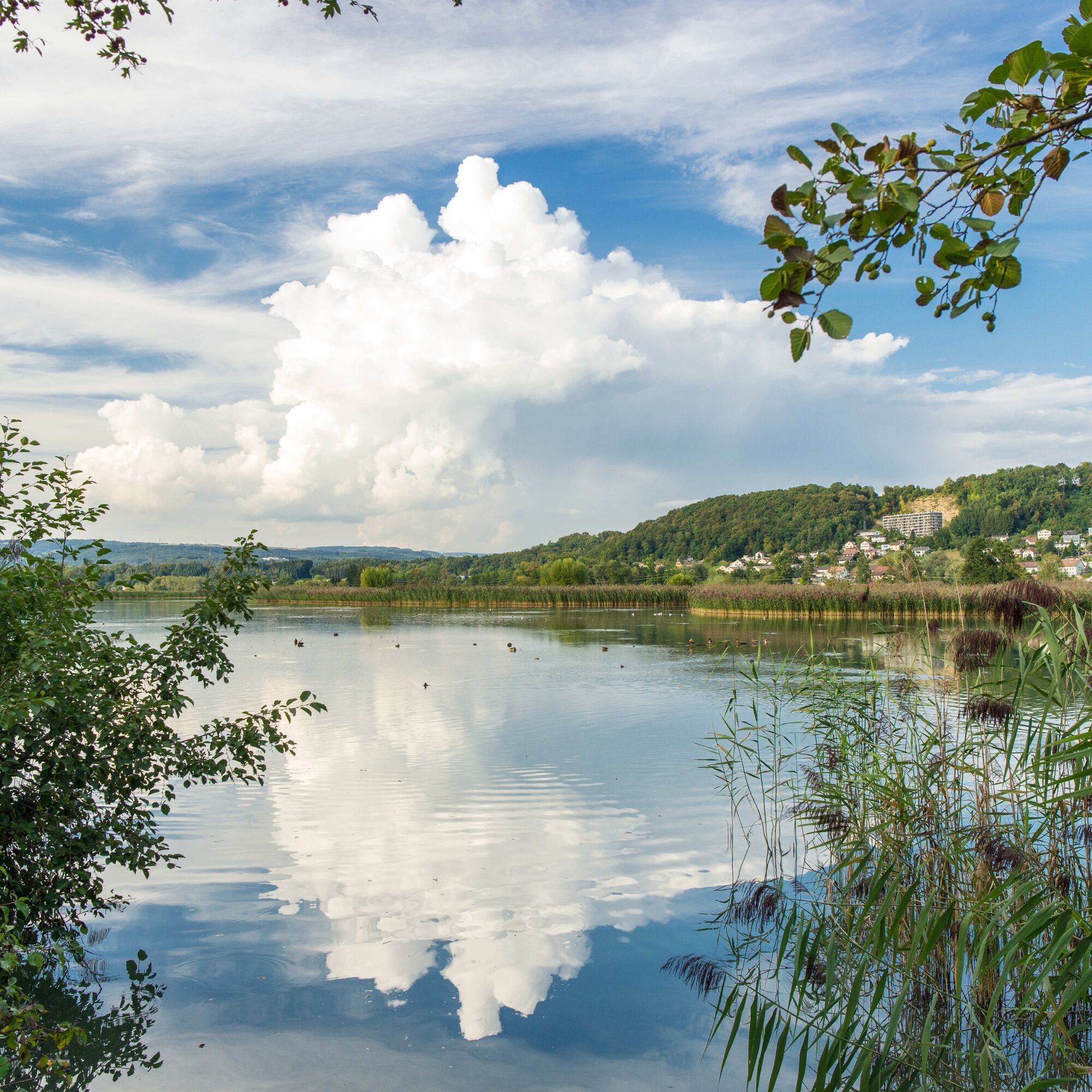
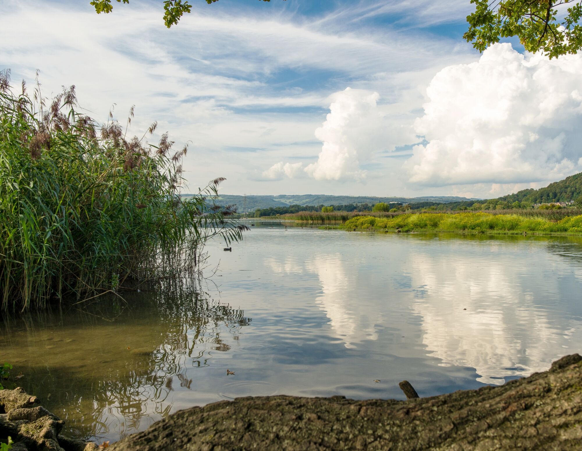
Enjoy an easy walk around the Klingnau reservoir in the middle of the nature reserve surrounded by various bird species. Along the way, a visit to the BirdLife Nature Center is worthwhile to learn more...
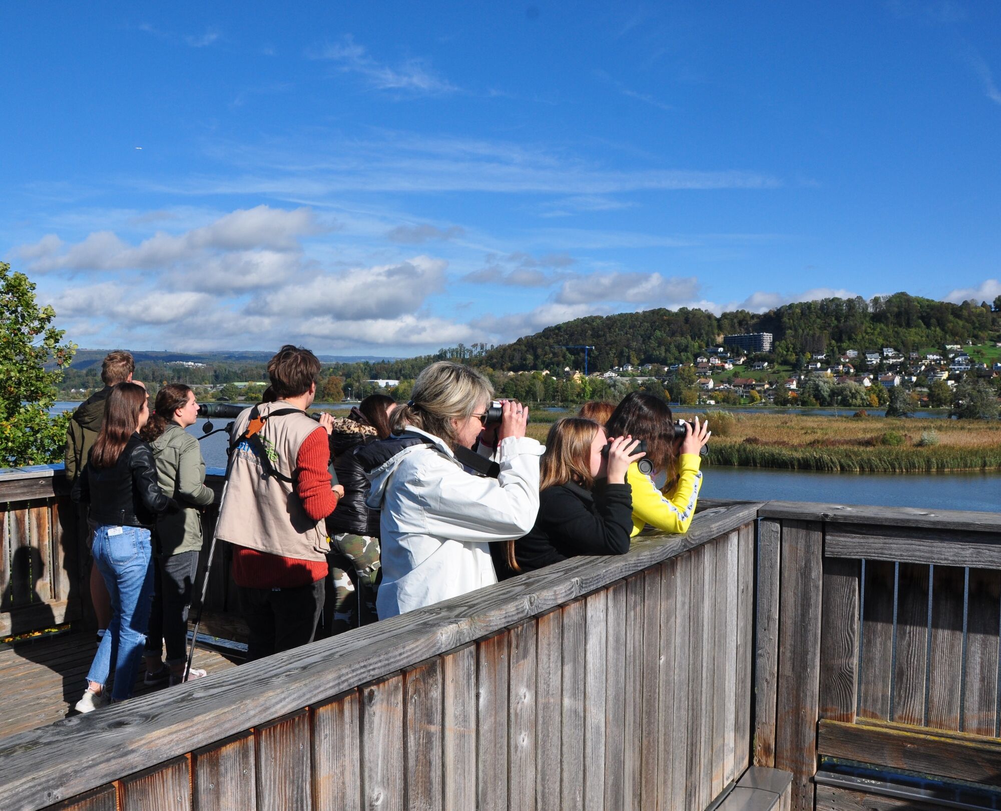
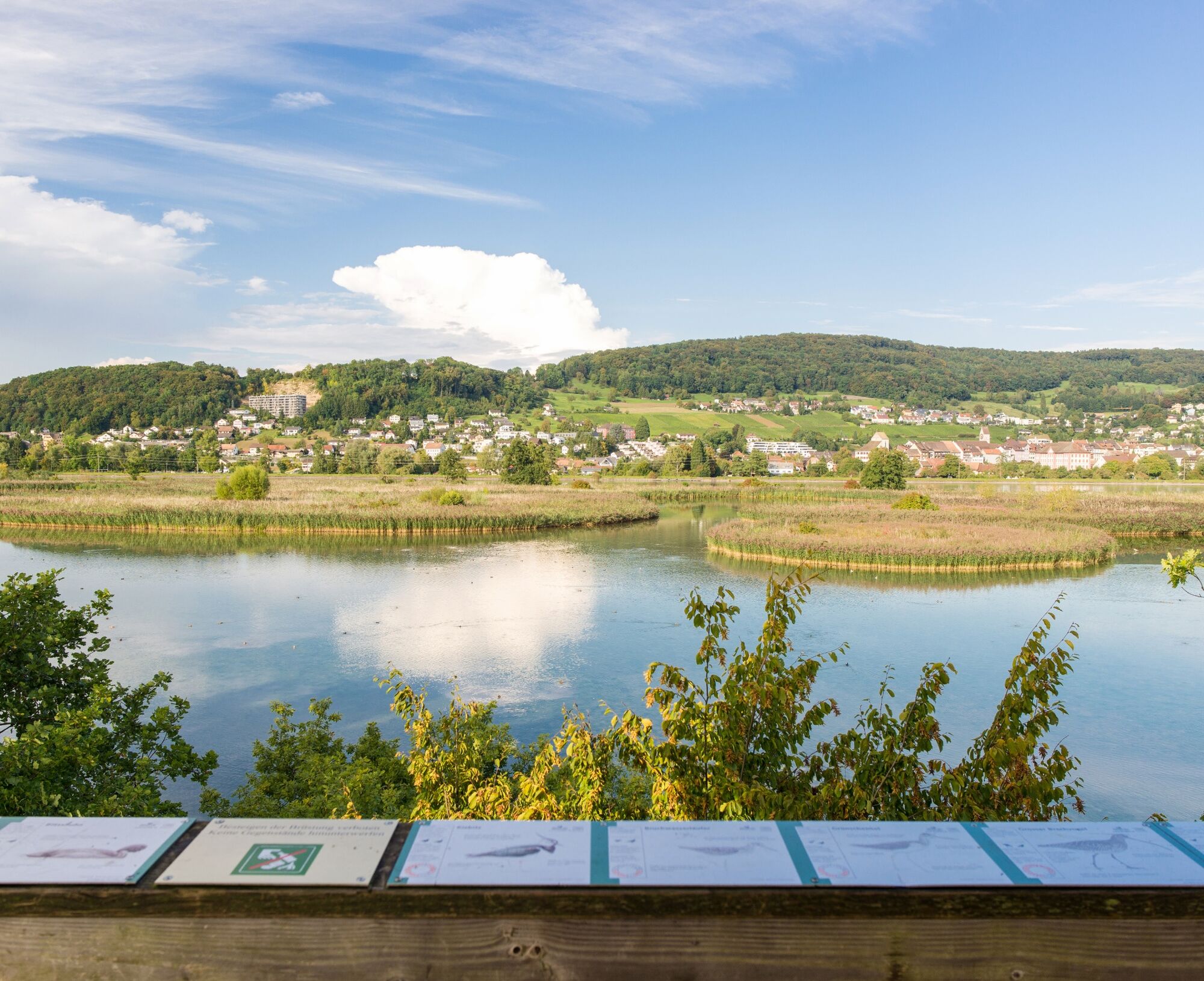
Enjoy an easy walk around the Klingnau reservoir in the middle of the nature reserve surrounded by various bird species. Along the way, a visit to the BirdLife Nature Center is worthwhile to learn more and get to know the special bird species. The bird observation tower offers you a fantastic panoramic view over the entire reservoir and the birds. Along the way, there is always the possibility to take a break and enjoy the surroundings on a cozy bench.

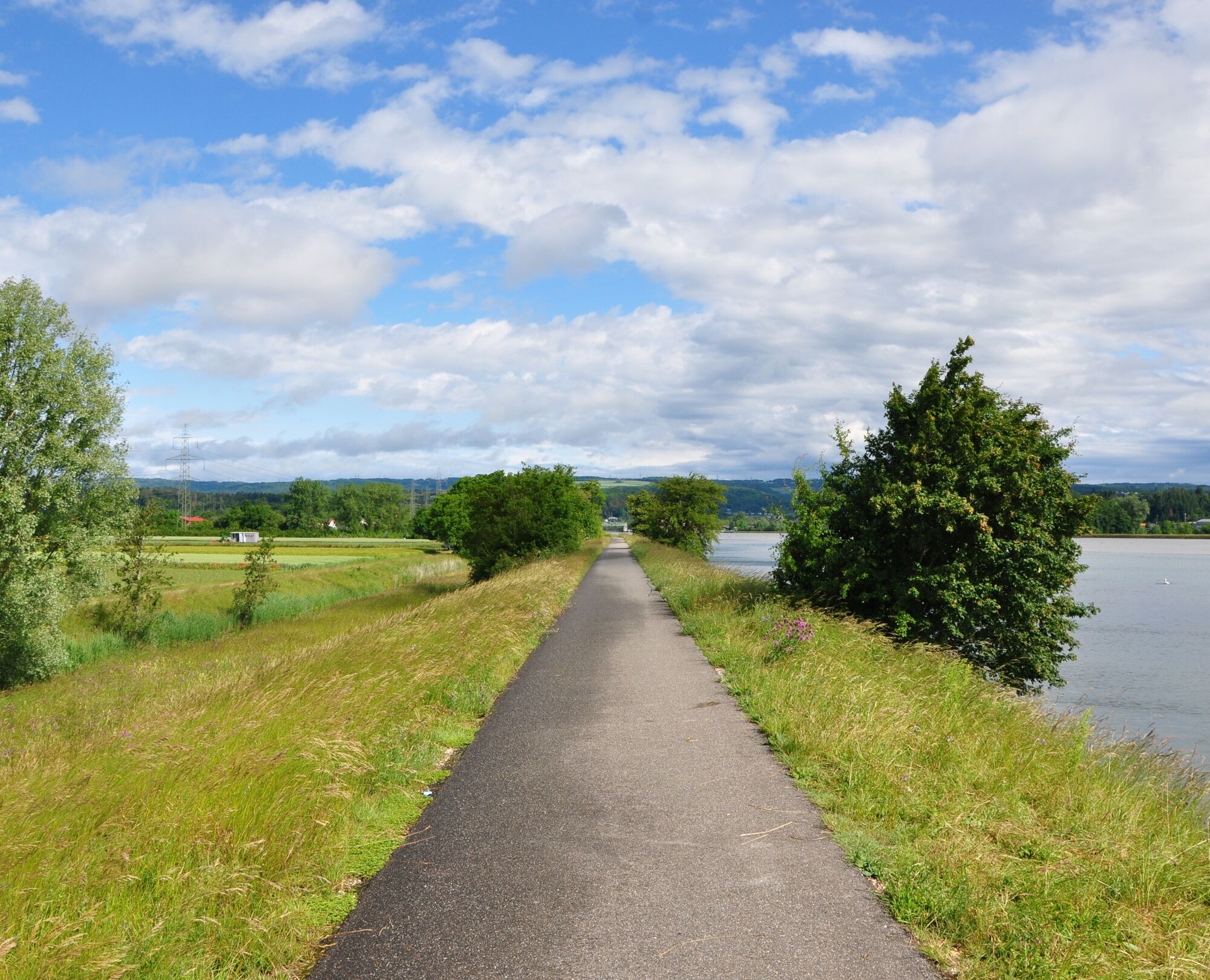
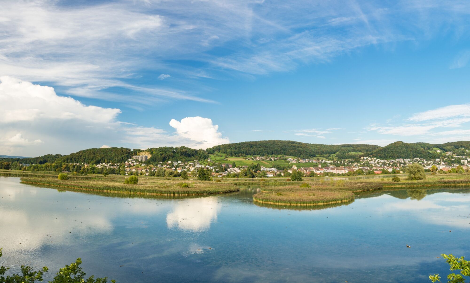
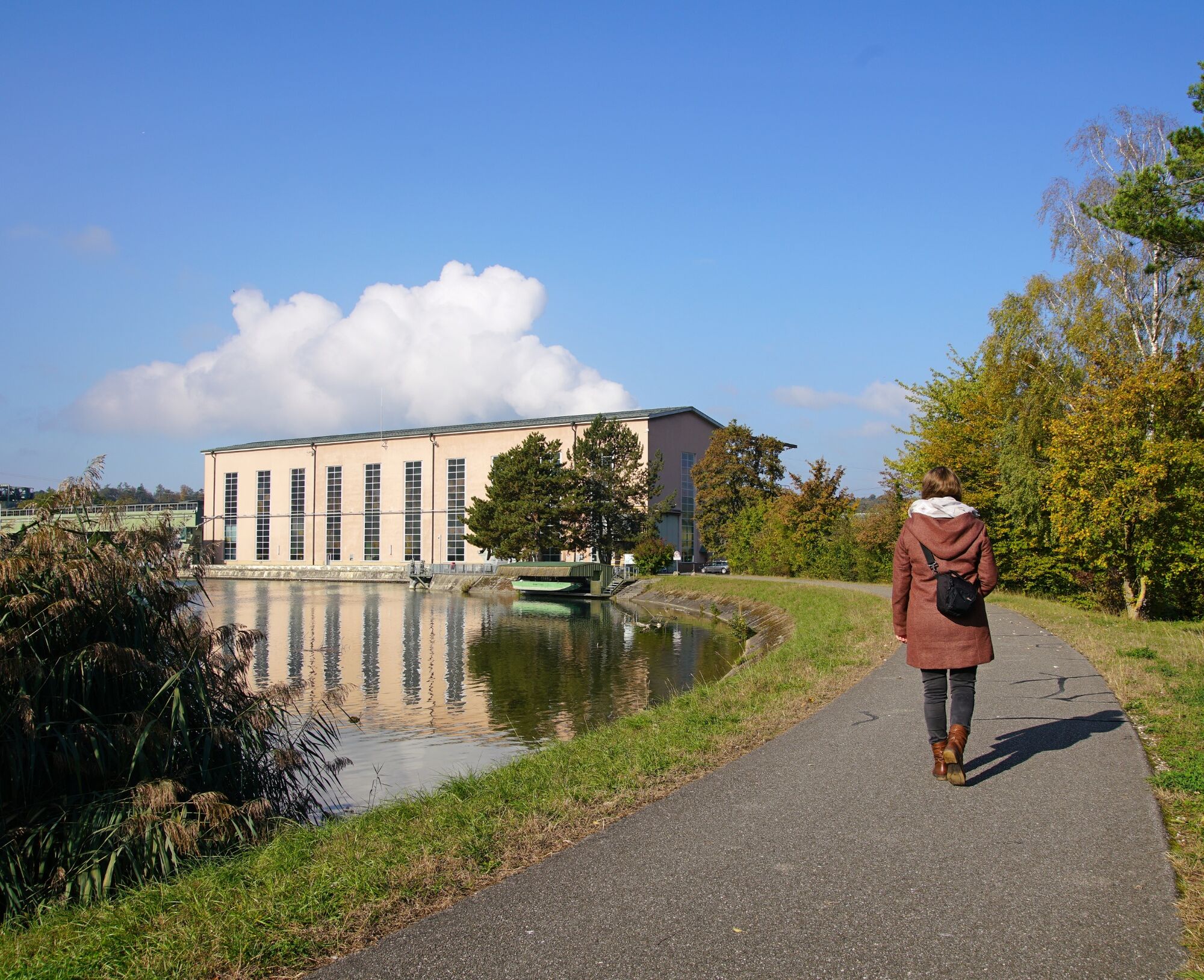

From the parking lot west of the bridge (central parking meter) or from Döttingen station on the Kleindöttingen side, walk along the reservoir to the power plant. Before the power plant, cross the canal to the left and pass in front of the sewage treatment plant through the Gippinger Grie to the Felsenau-Gippingen road. Then follow the bike path approximately three hundred meters towards Felsenau until you pass under the railway line. Cross the road and walk downstream along the Aare on the riverside path to the new footbridge that leads to the Koblenz side. After the bridge, go down the stairs and along the Koblenz Giritz on the riverside path to the power plant. Before the power plant, choose the marked bike path to Klingnau. This path leads past several renaturalized wetlands to the Klingnau swimming pool. After the swimming pool, there are various paths that lead back to the Aare dam. From there, you return to the starting point.
Tak
Tak
Special note: Only the upper part is suitable for strollers. The path through the Gippinger Grie and further along the Aare consists partly of a narrow path. On this section, pedestrians must switch to the sidewalk until the footbridge over the Aare. After the footbridge, there is also a staircase. However, the sidewalk leads to Koblenz station.
By car:
About 25 minutes from Baden, 35 minutes from Zurich or Kloten Airport, and 40 minutes from Schaffhausen to Döttingen.
By bus/train:
Döttingen is accessible by train from Baden, Waldshut, or Koblenz; by bus from Leibstadt or Endingen.
Paid parking lot at the bridge from Döttingen to Kleindöttingen on the Kleindöttingen side.
See also:
Bad Zurzach Tourism AG
Dr. Martin Erb-Strasse 9
CH-5330 Bad Zurzach
Tel: +41 (0)56 269 00 60
E-mail: welcome@badzurzach.info
Internet: www.badzurzach.info
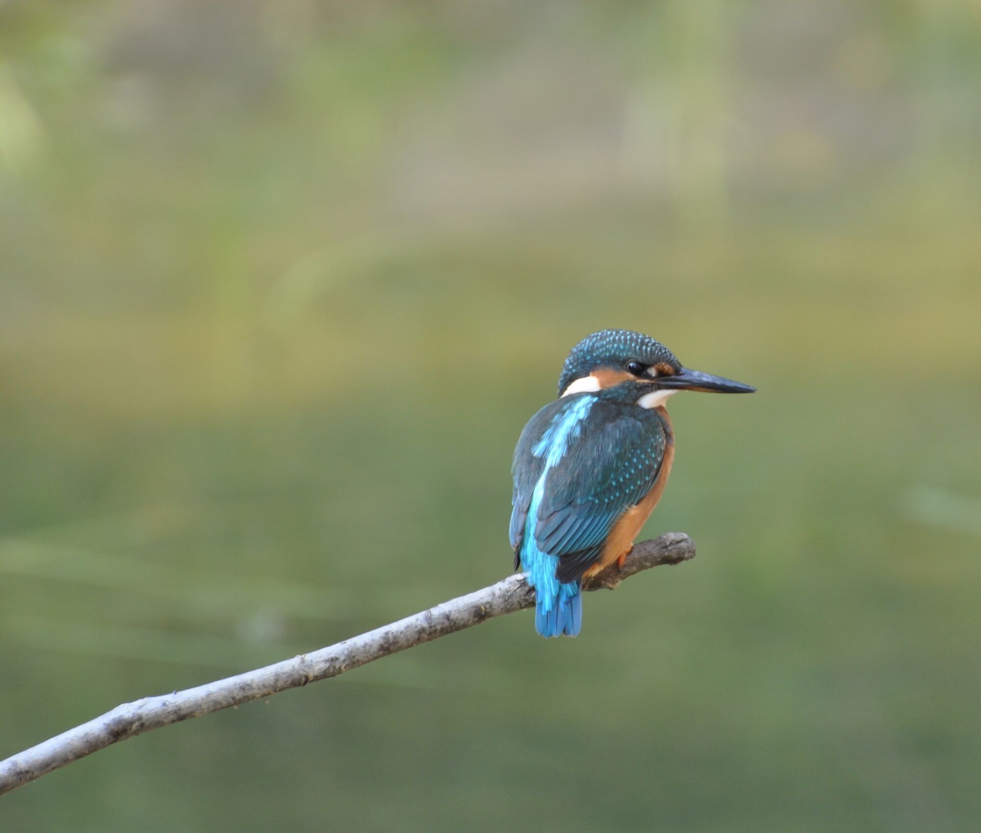
Especially in winter, many Nordic bird species. Kingfisher and dipper can be observed. Beaver tracks are everywhere. In the Gippinger Grie diverse flora: water crowfoot, Siberian iris, marsh spurge, etc. A bunker with stair access and a 12 m high observation tower are available (Kleindöttingen side).
Popularne wycieczki w okolicy
- 3,8
Chänzeli -Tour: Eine Panorama - Stadtwanderung
światłoWędrówka 7,81 km - 5,0
Berau - ruins, rocks & gorges
średniWędrówka 9,71 km - 4,0
Cross-border Rhine riverside path
światłoWędrówka 7,81 km Wolfspfad Höchenschwand
światłoTrasa tematyczna 3,97 km- 4,0
"Falkenstein" circular route
światłoWędrówka 5,69 km - 5,0
Zum Höllbachfall im Hotzenwald
średniWędrówka 5,16 km - 4,0
"Hutpfad" hiking trail
światłoWędrówka 8,43 km - 5,0
Bad Zurzach - Hörndli - Rekingen - Bad Zurzach
średniWędrówka 9 km - 5,0
Limmat Cultural Route
światłoTrasa tematyczna 8,77 km Schinznach Bad - Brugg, Schweiz
światłoWędrówka 10,5 km
Wędrówki i tropienie


Nie przegap ofert i inspiracji na następne wakacje
Twój adres e-mail została dodana do listy mailingowej.