







Panoramic hike Tegerfelden
From the municipal building Staltig, the first meters of your panoramic journey pass the 137-year-old schoolhouse, the Catholic chapel, and the venerable Chloretrotte to the church, the landmark of the...
From the municipal building Staltig, the first meters of your panoramic journey pass the 137-year-old schoolhouse, the Catholic chapel, and the venerable Chloretrotte to the church, the landmark of the 350-year-old Reformed church community. A short climb leads you up into the Chälle. From here, the magnificent view over the Surbtal valley and the Ruckfeld to the Wasserschloss accompanies you. In the forest area of the panorama route, you enjoy the peace and discover some mysterious spots. The vineyards at Neuberg nestle against Zurziberg, and shortly below the pass summit, you cross the cantonal road. At the northernmost point of your journey, the cozy firepit high above the Senneloch invites you to linger. Passing the vineyards of Alte Berg, you now return to the village, where you can enjoy the well-deserved final drink at the Wartegg or Löwen.

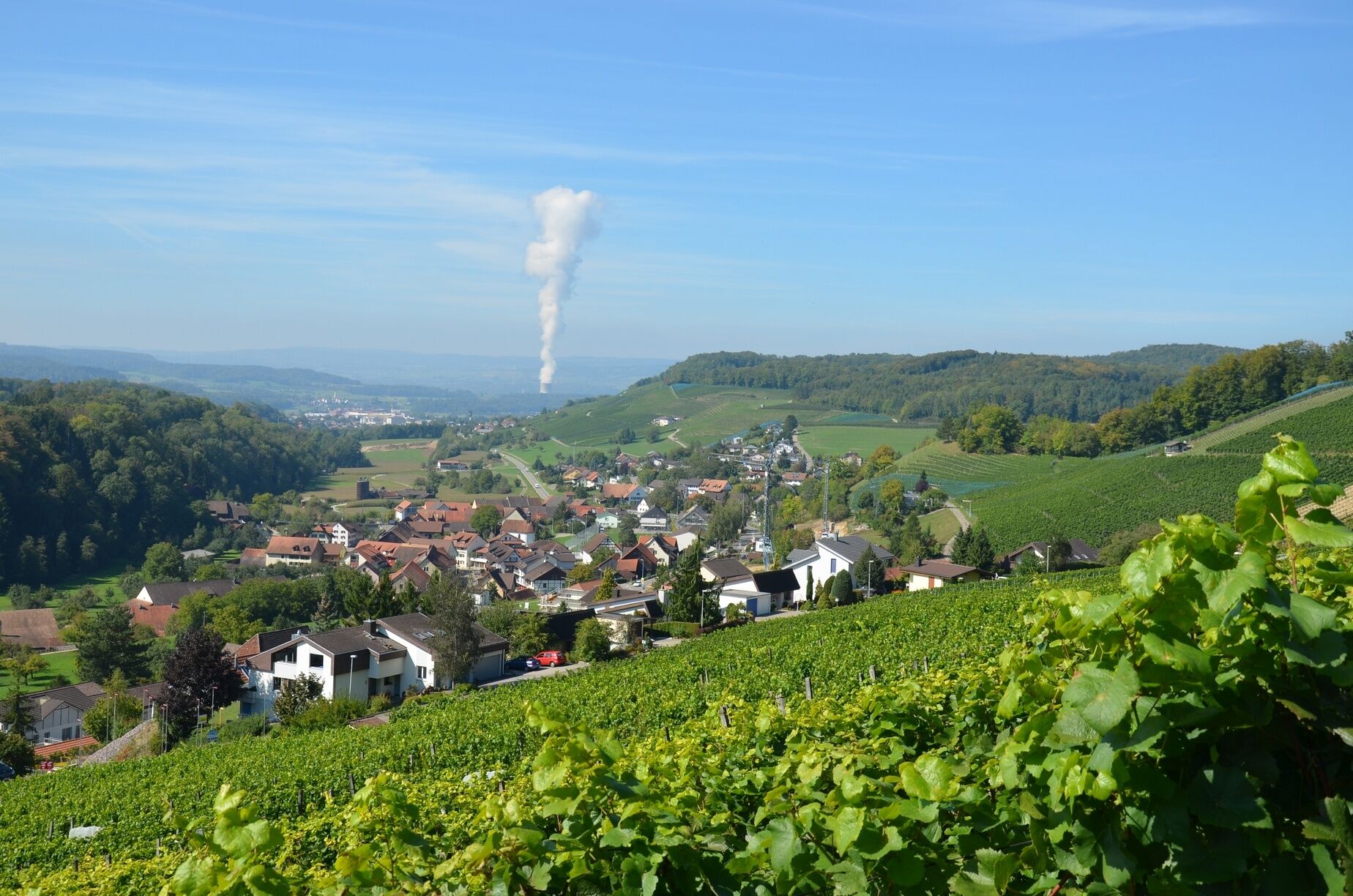
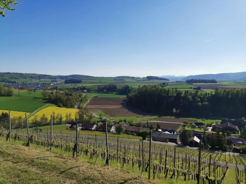
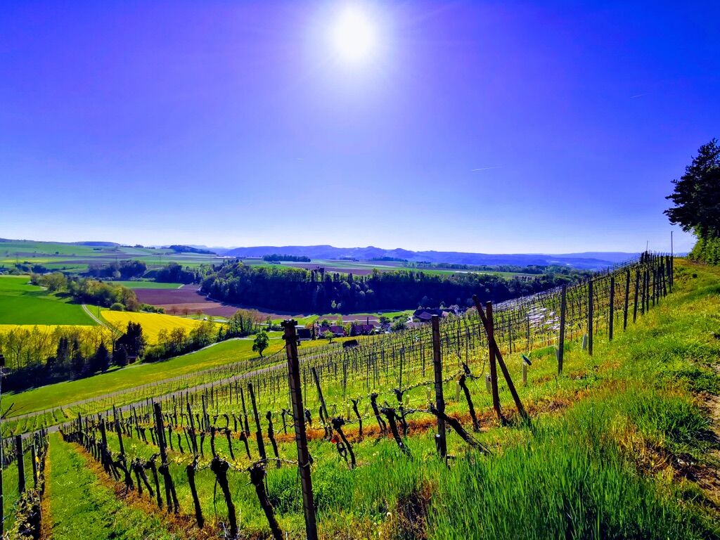
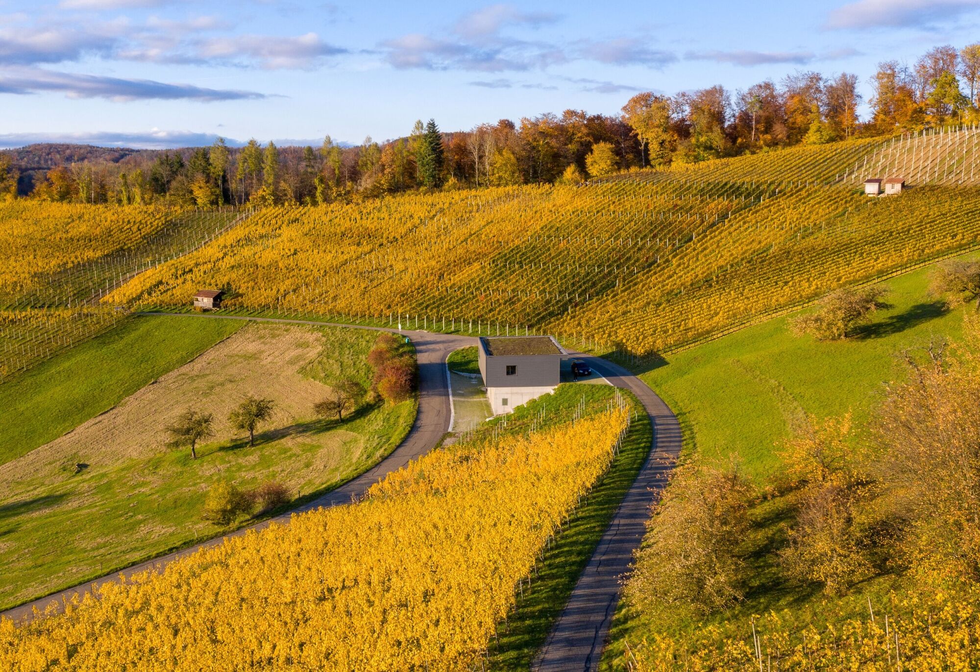
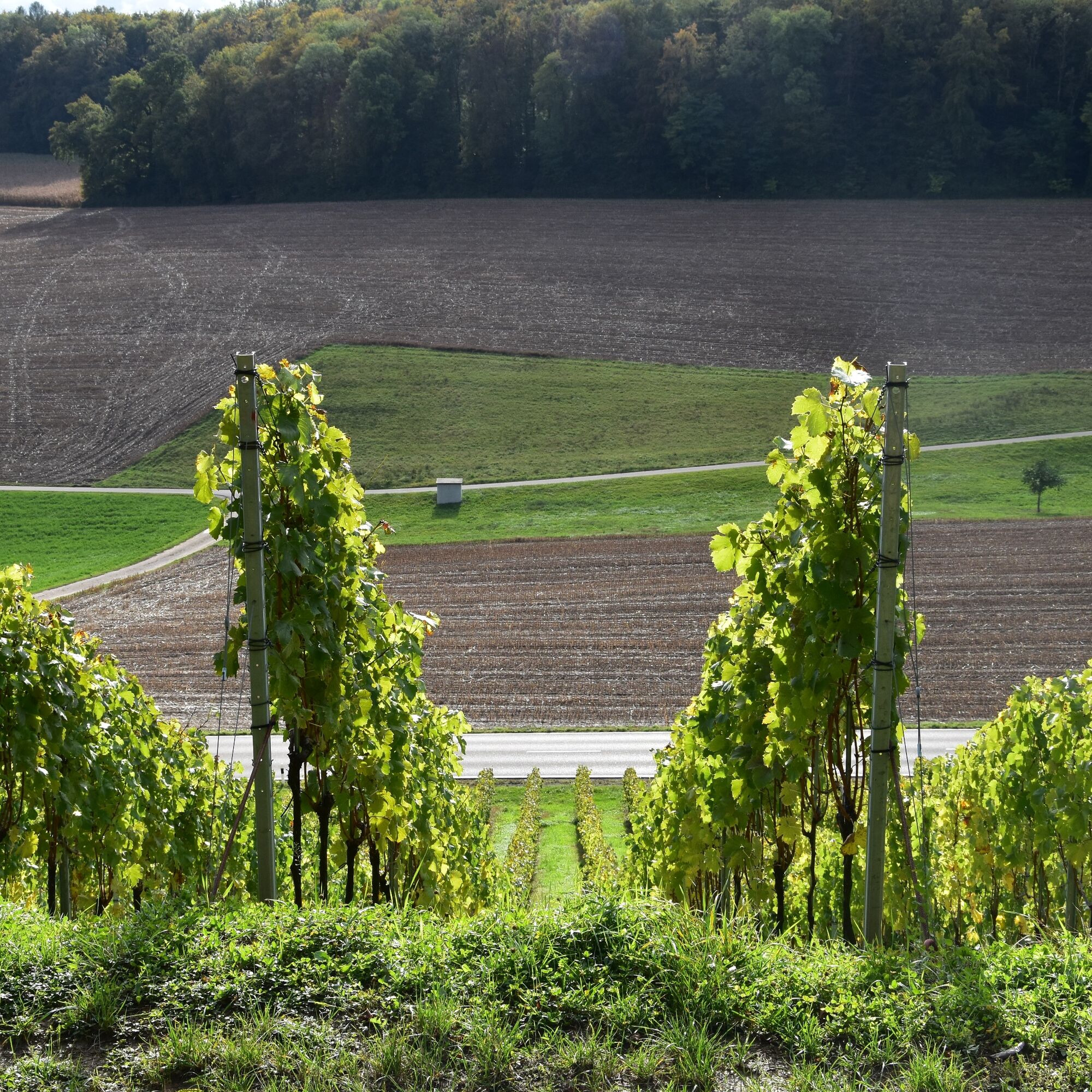
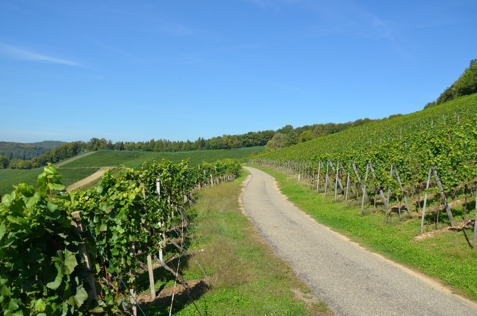
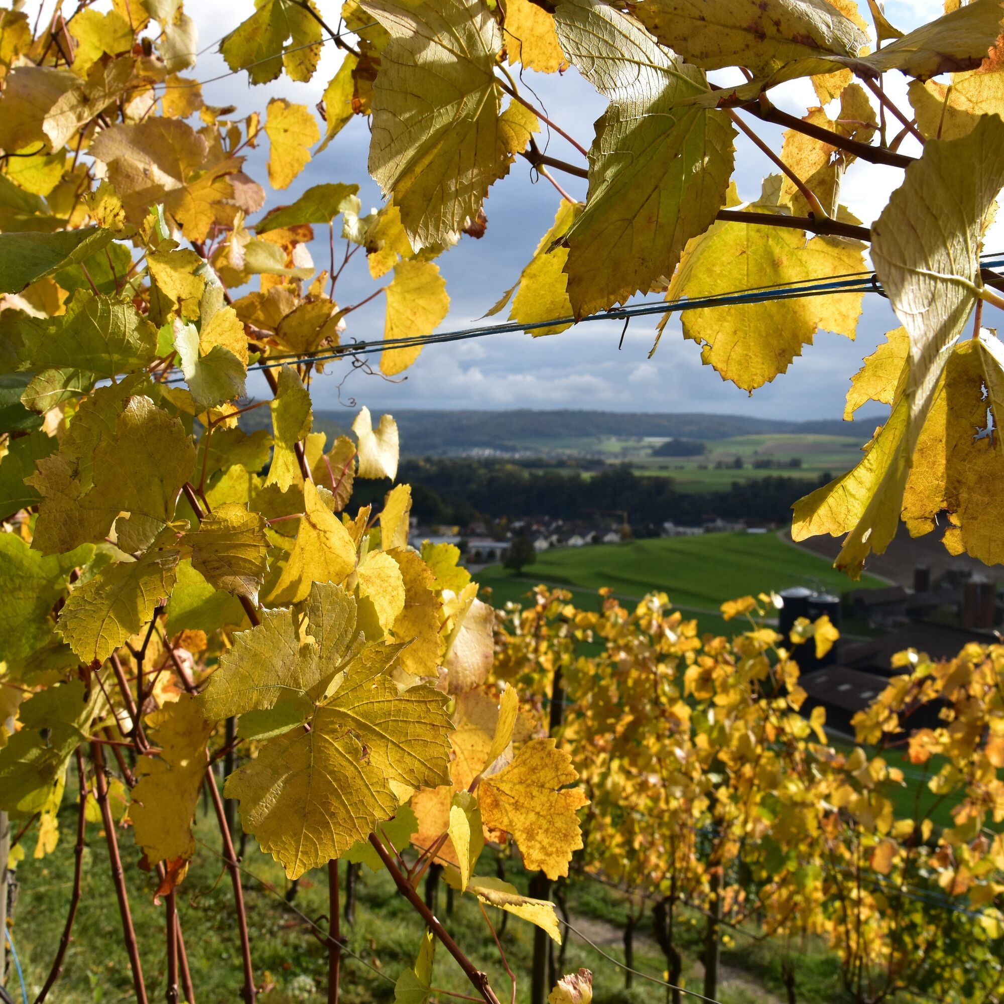
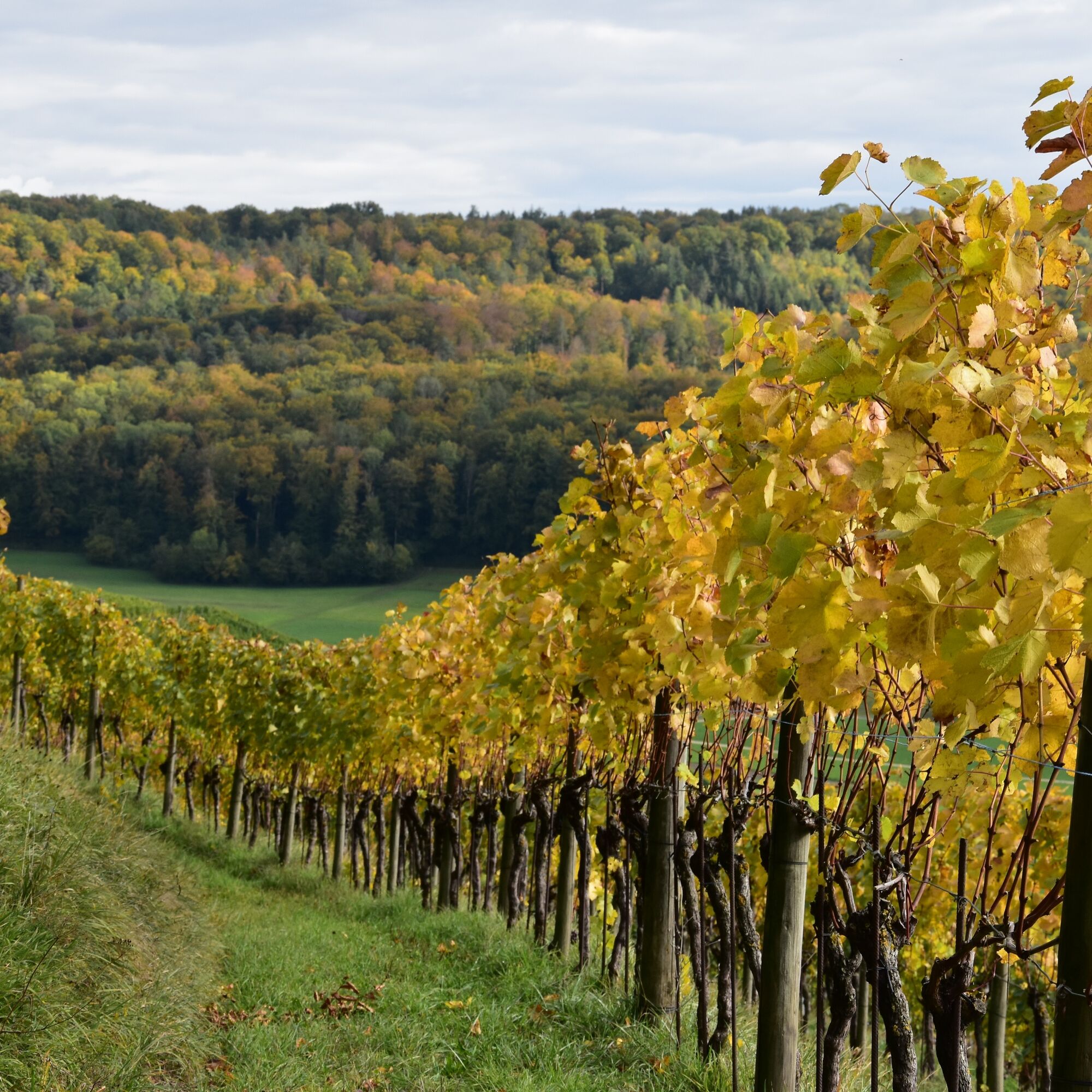

Staltig - schoolhouse - church - village street - underpass cantonal road - right over stream bridge – along the forest edge - through the forest – vineyard Stockrebe and Loch – into the forest – vineyard Neuberg – crossing the cantonal road Bad Zurzach – farm Waldhof – into the forest towards Döttingen – vineyard Alte Berg – down into the Guggenbühl district – Staltig
Tak
Tak
Tak
You can reach Tegerfelden within 20 minutes from Baden, 40 minutes from Zurich, and 60 minutes from Lucerne and Basel.
You can reach Tegerfelden by bus from Baden, Döttingen, and Niederweningen.
There are parking spaces available at the municipality, the schoolhouse, and the church.
Gourmet tip - wine. Study the slopes and grape varieties. The anticipation grows for a glass of wine in one of the two local restaurants Wartegg and Löwen.
Uzyskaj wgląd
Zawsze na żywo z ponad 9 500 kamer internetowych. bergfex Jako użytkownik Pro, możesz teraz zobaczyć odpowiednie kamery internetowe dla wielu wycieczek w aplikacji wycieczki od. Pozwala to na bezpośredni podgląd aktualnych warunków.
Popularne wycieczki w okolicy
-
5,0
Lägern ridge hike
średniWędrówka 12,0 km -
3,8
Chänzeli -Tour: Eine Panorama - Stadtwanderung
światłoWędrówka 7,81 km -
4,5
Lägern Rundwanderung
średniWędrówka 13,0 km -
4,0
Gratwanderung über die Lägern
ciężkiWędrówka 14,8 km -
5,0
Berau - ruins, rocks & gorges
średniWędrówka 9,68 km -
4,0
Cross-border Rhine riverside path
światłoWędrówka 7,81 km -
Around the Klingnau reservoir
światłoWędrówka 10,7 km -
5,0
Schinznach Bad - Brugg, Schweiz
światłoWędrówka 10,5 km -
4,0
"Falkenstein" circular route
światłoWędrówka 5,66 km -
5,0
Limmat Cultural Route
światłoTrasa tematyczna 8,77 km
Wędrówki i tropienie


Nie przegap ofert i inspiracji na następne wakacje
Twój adres e-mail została dodana do listy mailingowej.





