







Böbikon - Nurrenkopf - Rekingen - Bad Zurzach

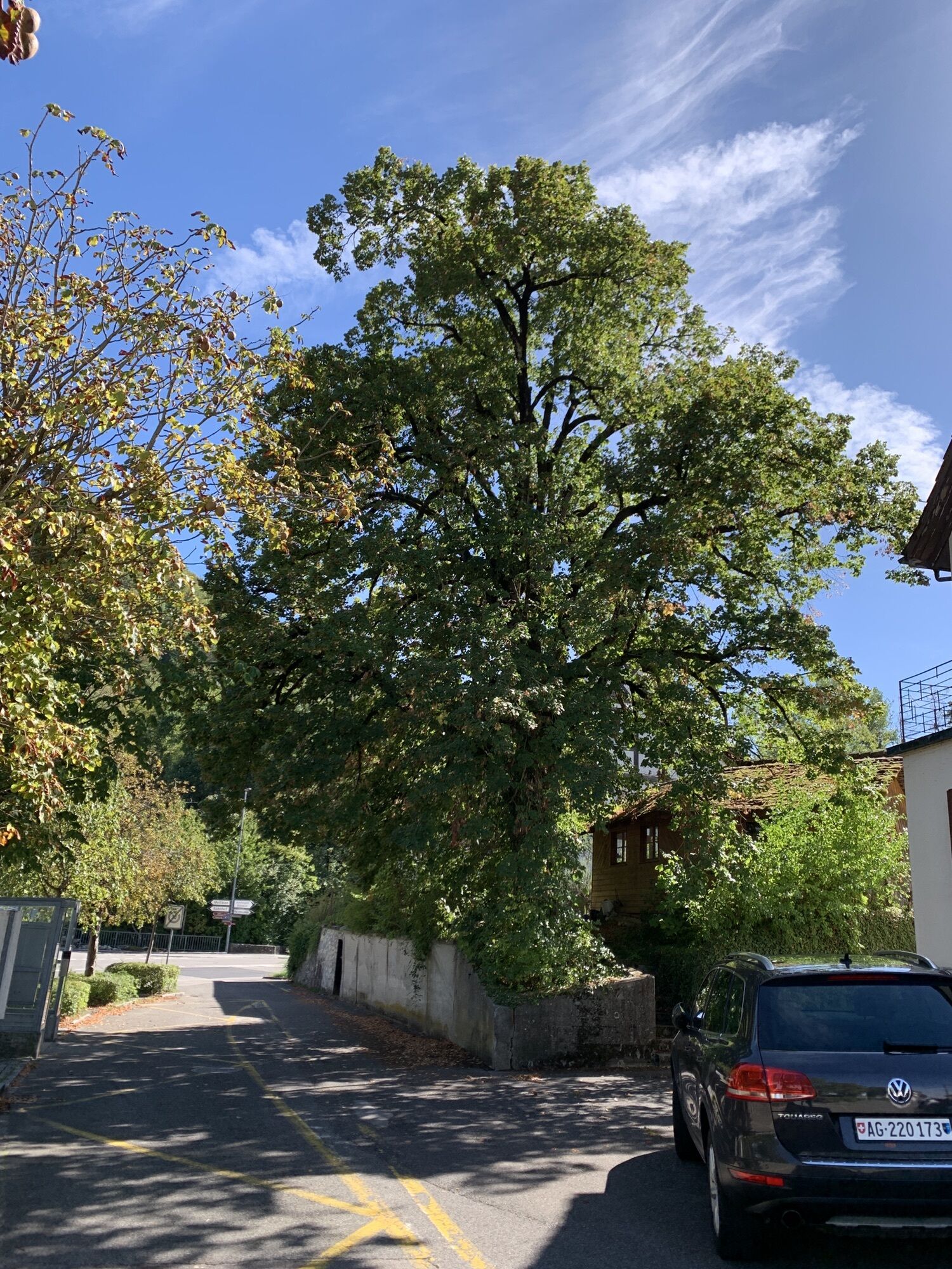
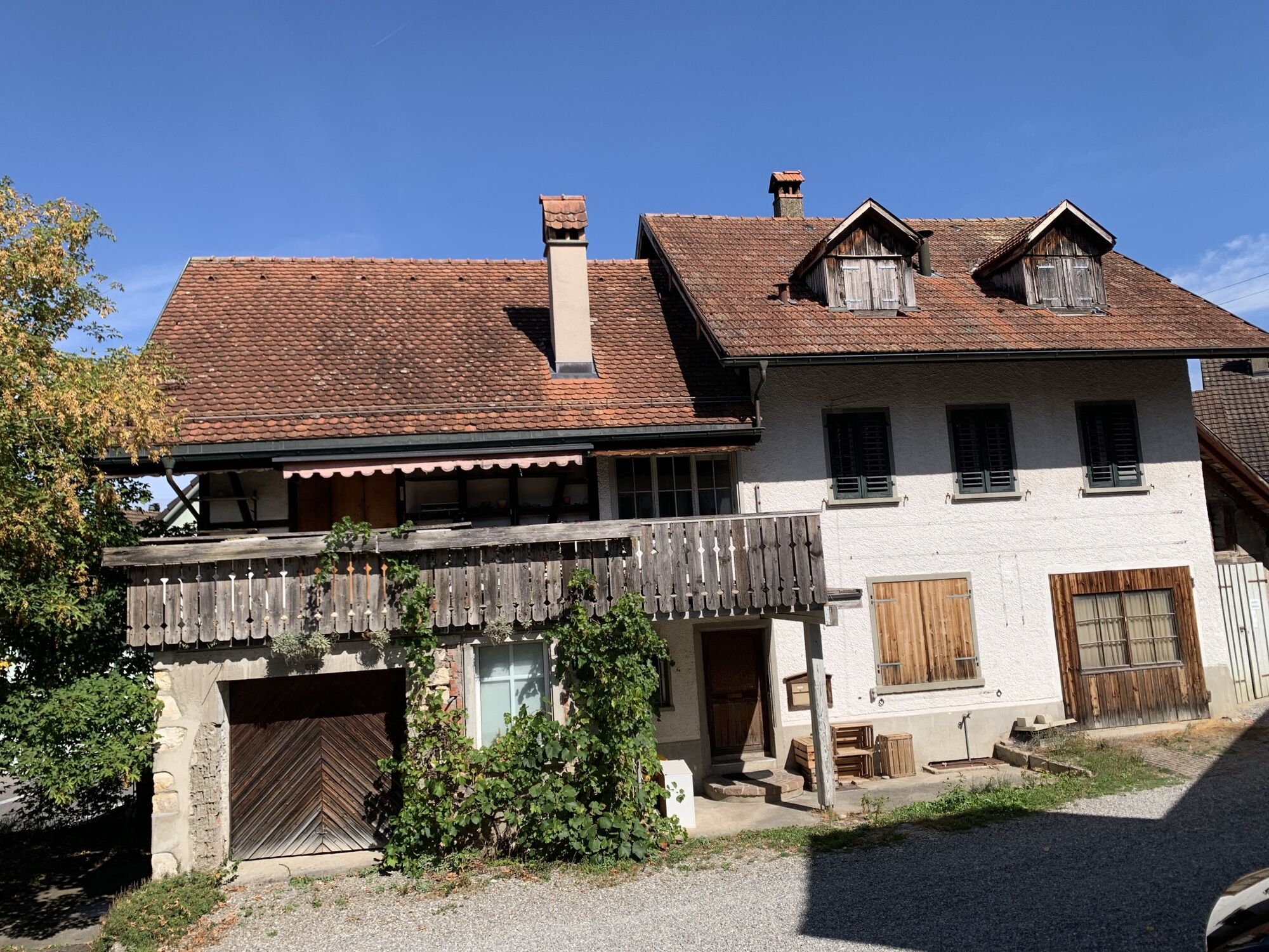
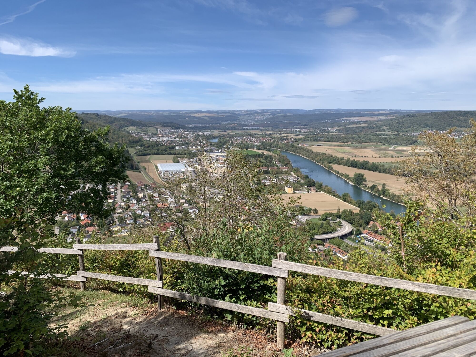
From Böbikon, you hike over the high plateau of the Tafeljura mountain, with a small detour to the "Nurren" viewpoint. From there, your view extends far over the Rhine to the Black Forest and down to Rekingen/CH...
From Böbikon, you hike over the high plateau of the Tafeljura mountain, with a small detour to the "Nurren" viewpoint. From there, your view extends far over the Rhine to the Black Forest and down to Rekingen/CH and Reckingen/D, as well as the market town of Bad Zurzach with the distinctive Zurzach tower. After a short break, you return along the path to follow the original route to Rekingen and the Rhine. Along the route along the Rhine, you can truly let your soul dangle and enjoy the peace and nature until you reach Bad Zurzach. If desired, you can also switch to the German side at the Reckingen power plant (Variant A). Both riverside routes are very varied, as the last free-flowing section of the river between Lake Constance and Rotterdam begins at the plant. Both sides are practically equally long, as they almost always run directly along the water.
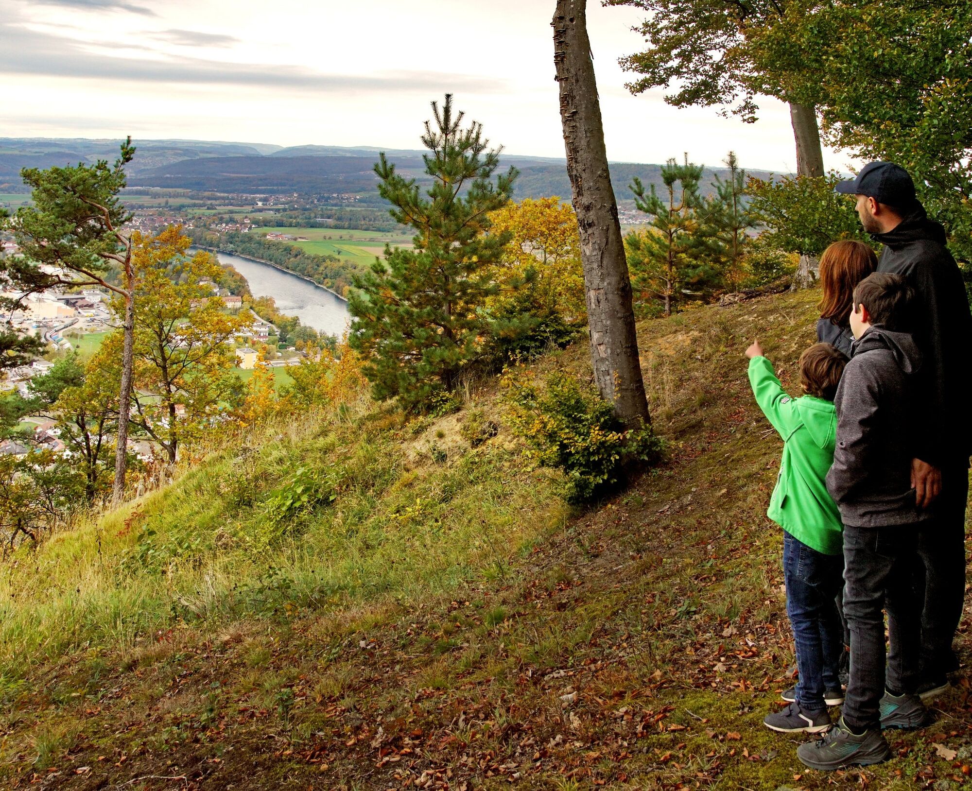
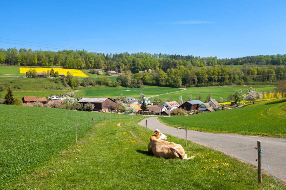
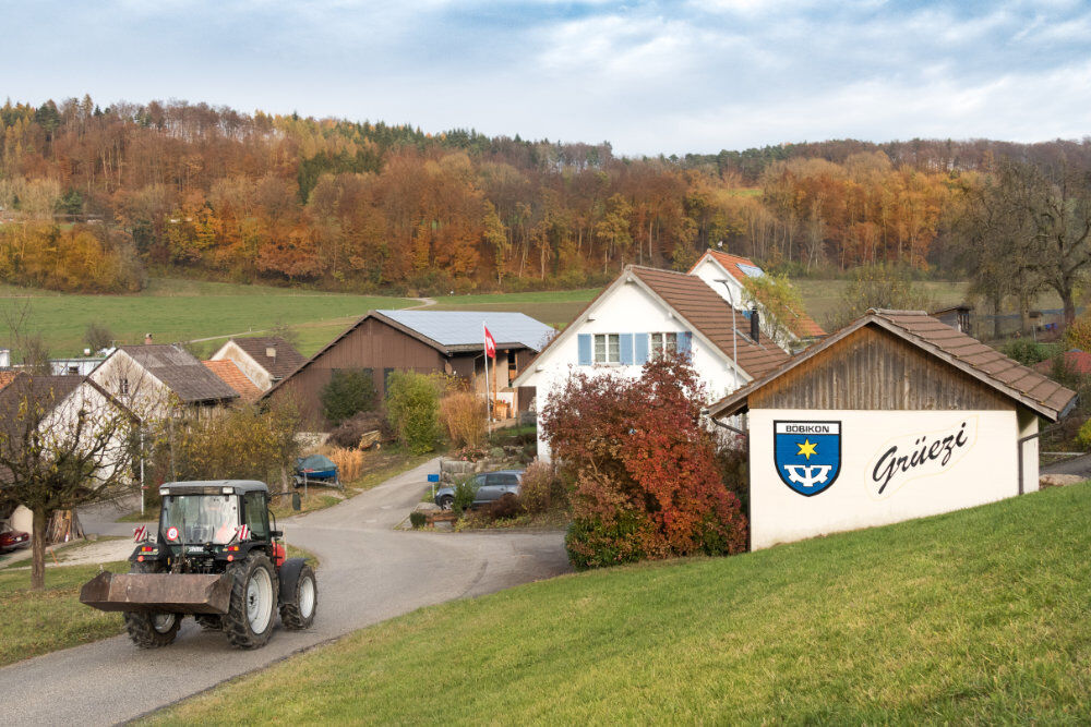
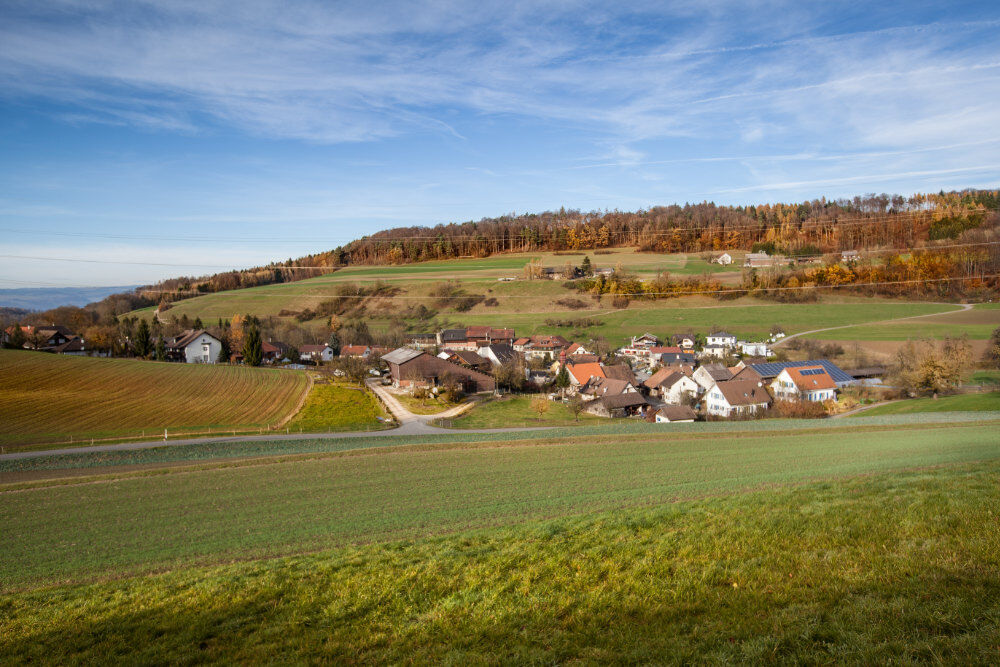
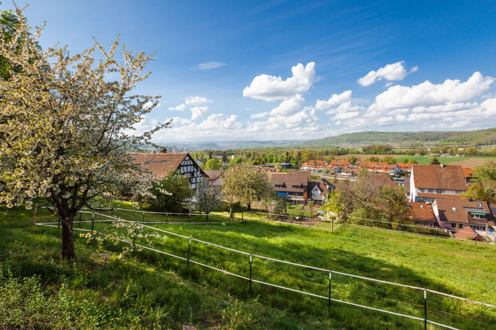
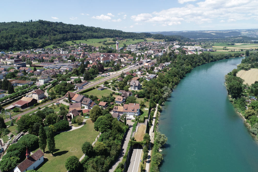
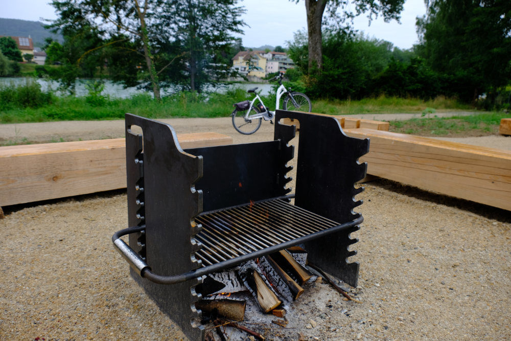
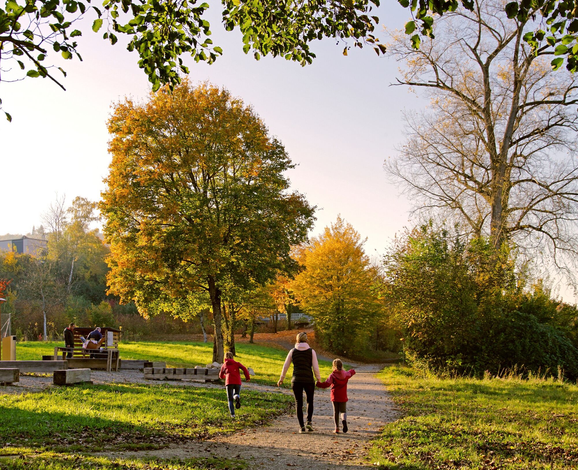

Böbikon can be reached by postal bus from Bad Zurzach. From the bus stop, follow the signpost "Nurren". After about 1.3 km, the high plateau of this Tafeljura mountain is reached. The path to the viewpoint at around 502 m above sea level is marked. From the viewpoint, you then return along the path. After about 200 m, turn right towards Rekingen. The well-developed path leads relatively steeply down to Rekingen. Cross the village and use the underpass under the railway and road at the town hall. Soon, the Rhine is reached, and the route can be followed along the shore.
Tak
By car:
It takes about 25 minutes from Baden, 35 minutes from Zurich or Kloten Airport, and 40 minutes from Schaffhausen.
By bus/train:
You can reach Bad Zurzach by bus from Brugg; or by train from Baden or Waldshut.
Böbikon can be reached by bus from Bad Zurzach.
Parking available at the paid car park of the Zurzach thermal spa.
See also:
Bad Zurzach Tourism AG
Dr. Martin Erb-Strasse 9
CH-5330 Bad Zurzach
Tel: +41 (0)56 269 00 60
Email: welcome@badzurzach.info
Internet: www.badzurzach.info
Refreshments: Restaurants in Reckingen (D) or in Bad Zurzach

Popularne wycieczki w okolicy
-
5,0
Lägern ridge hike
średniWędrówka 12,0 km -
3,8
Chänzeli -Tour: Eine Panorama - Stadtwanderung
światłoWędrówka 7,81 km -
4,3
Lägern Rundwanderung
średniWędrówka 13,0 km -
4,0
Ridge hike over the Lägern
ciężkiWędrówka 14,8 km -
5,0
Berau - ruins, rocks & gorges
średniWędrówka 9,68 km -
4,0
Cross-border Rhine riverside path
światłoWędrówka 7,81 km -
Around the Klingnau reservoir
światłoWędrówka 10,7 km -
5,0
Schinznach Bad - Brugg, Schweiz
światłoWędrówka 10,5 km -
4,0
"Falkenstein" circular route
światłoWędrówka 5,66 km -
5,0
Limmat Cultural Route
światłoTrasa tematyczna 8,77 km
Wędrówki i tropienie


Nie przegap ofert i inspiracji na następne wakacje
Twój adres e-mail została dodana do listy mailingowej.





