







Zurzibiet Landscape Trail
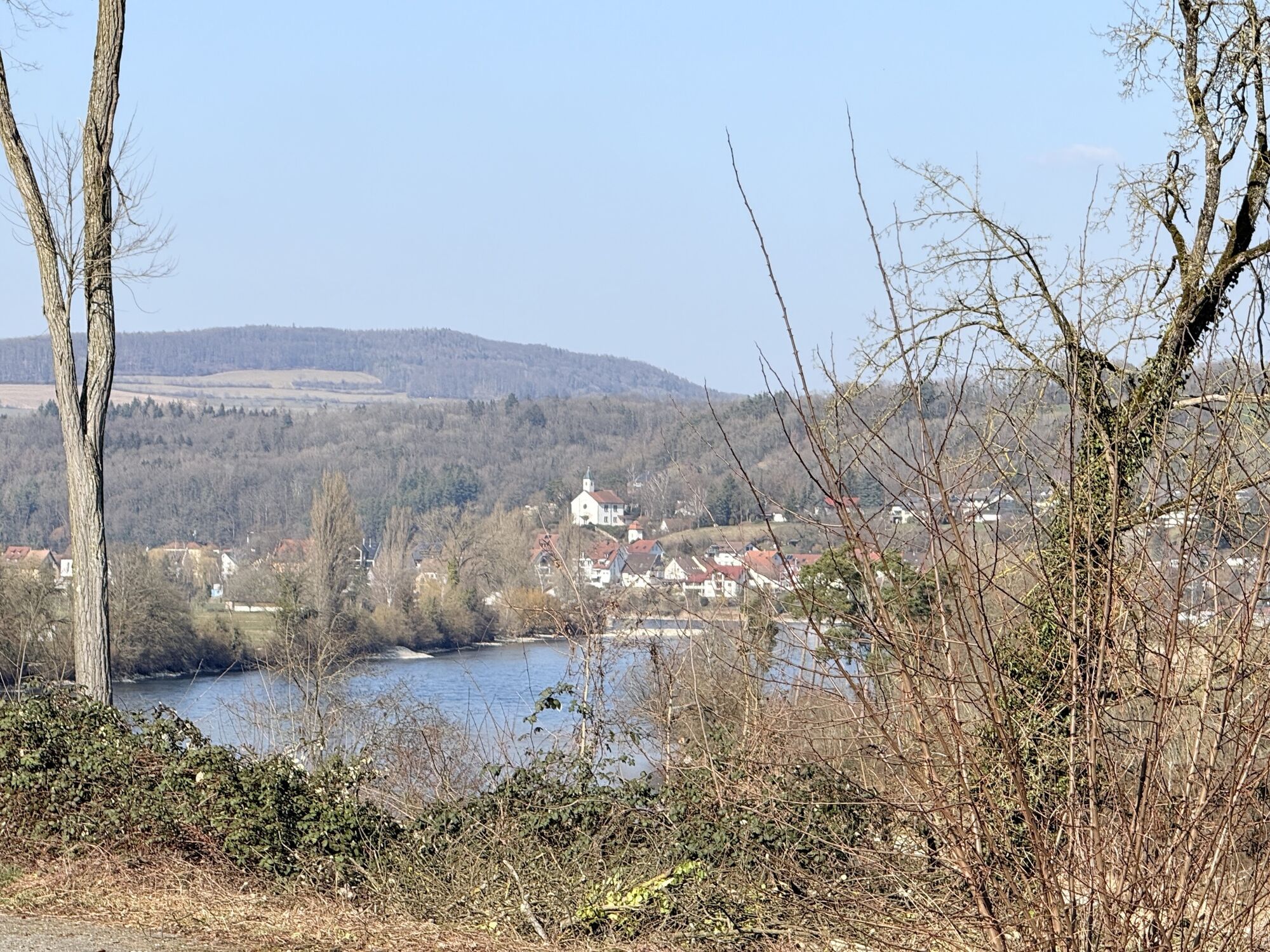
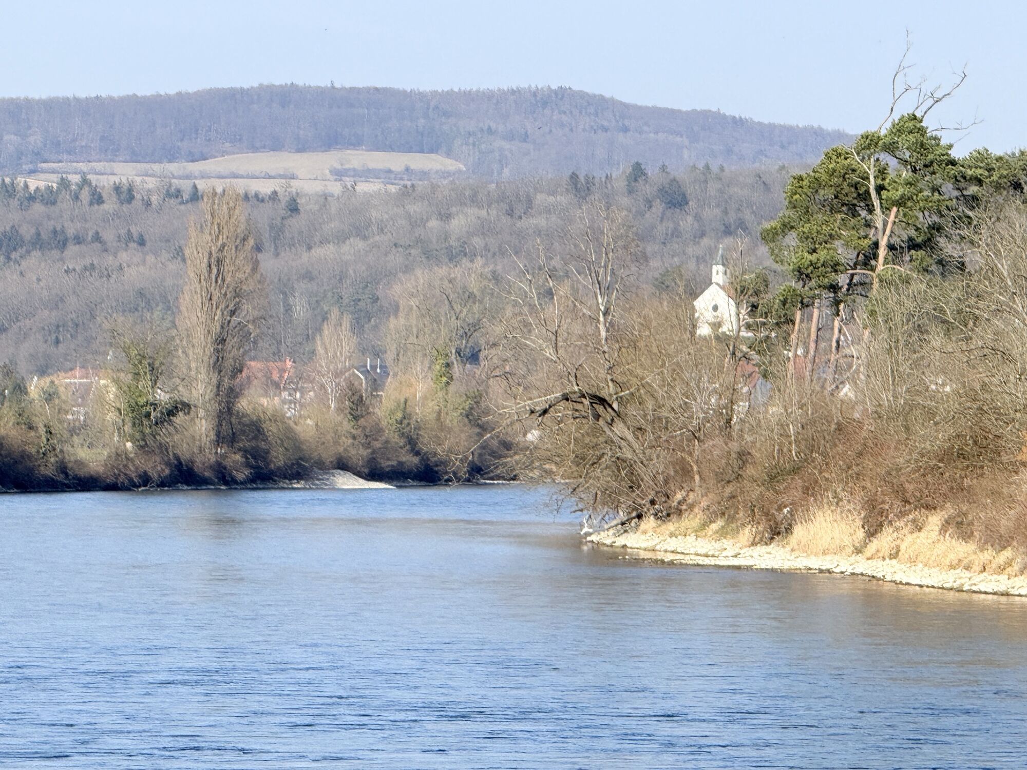
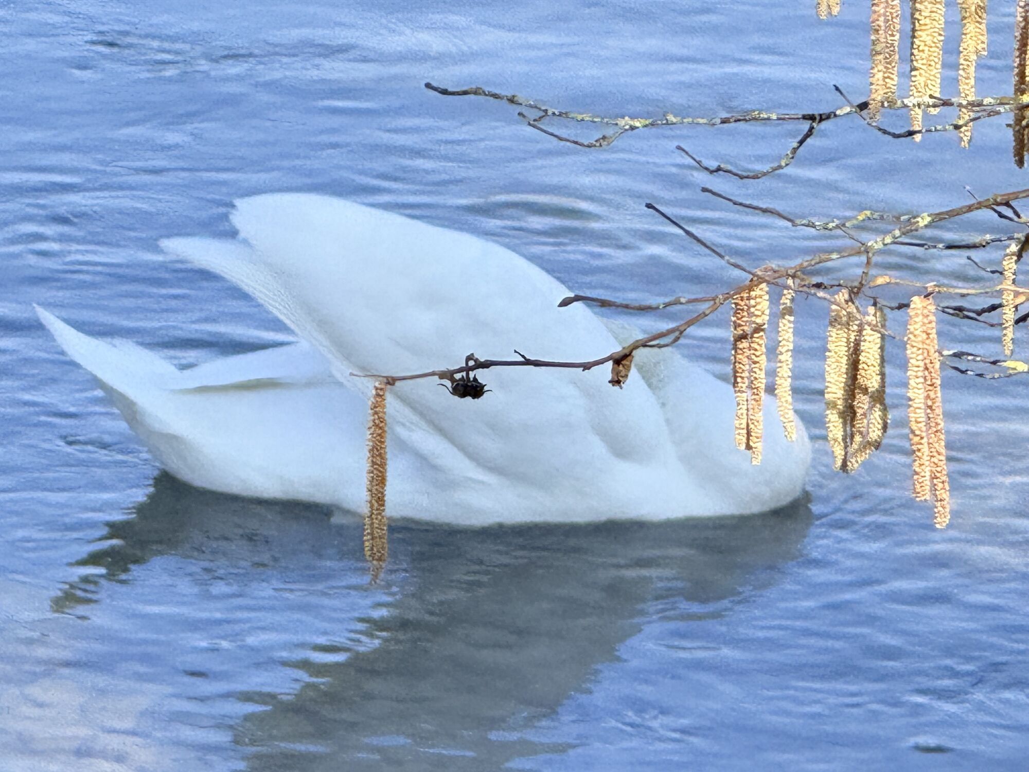
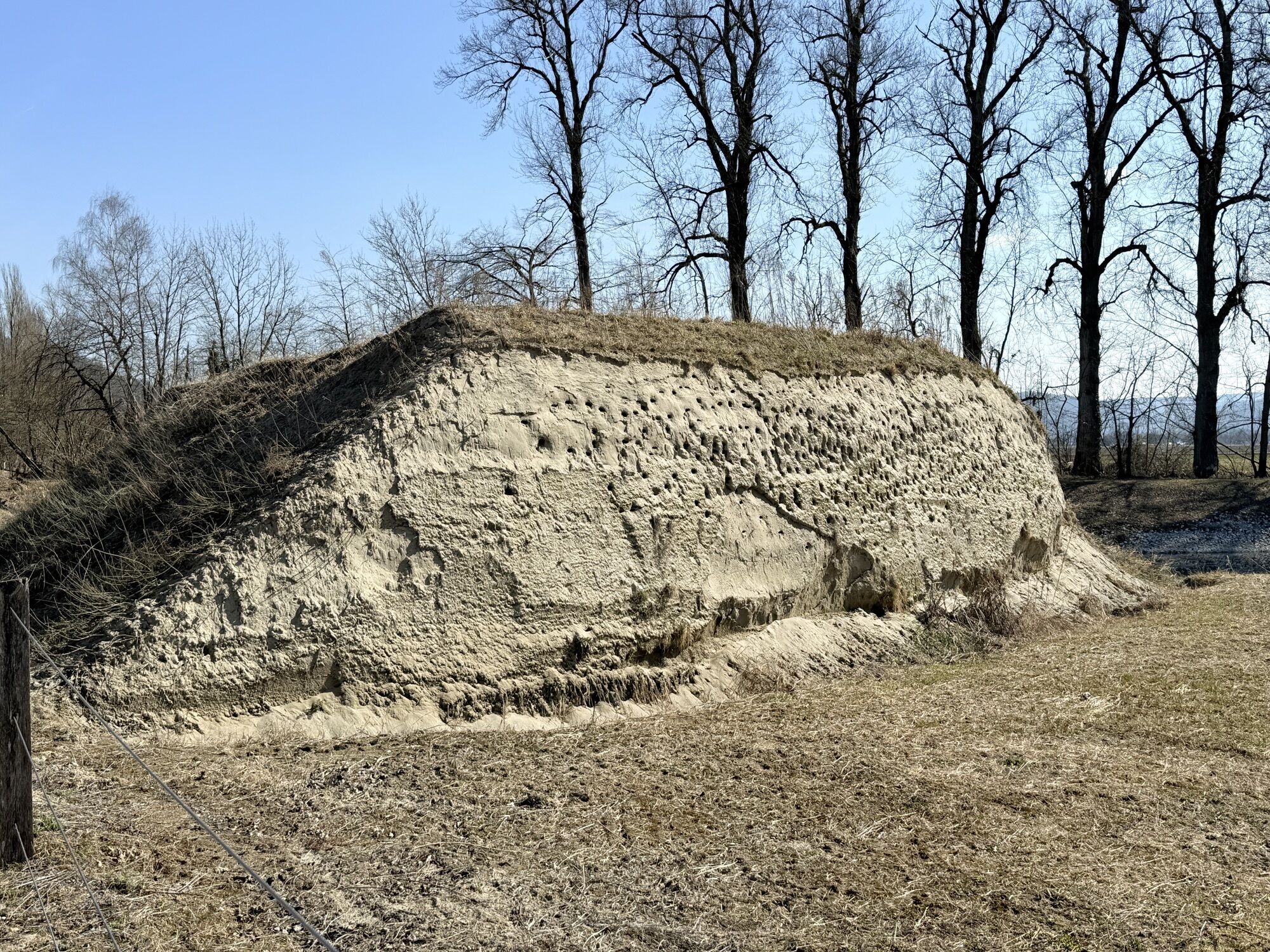
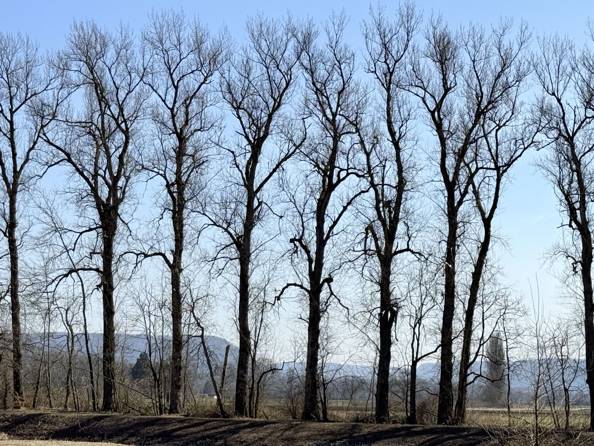
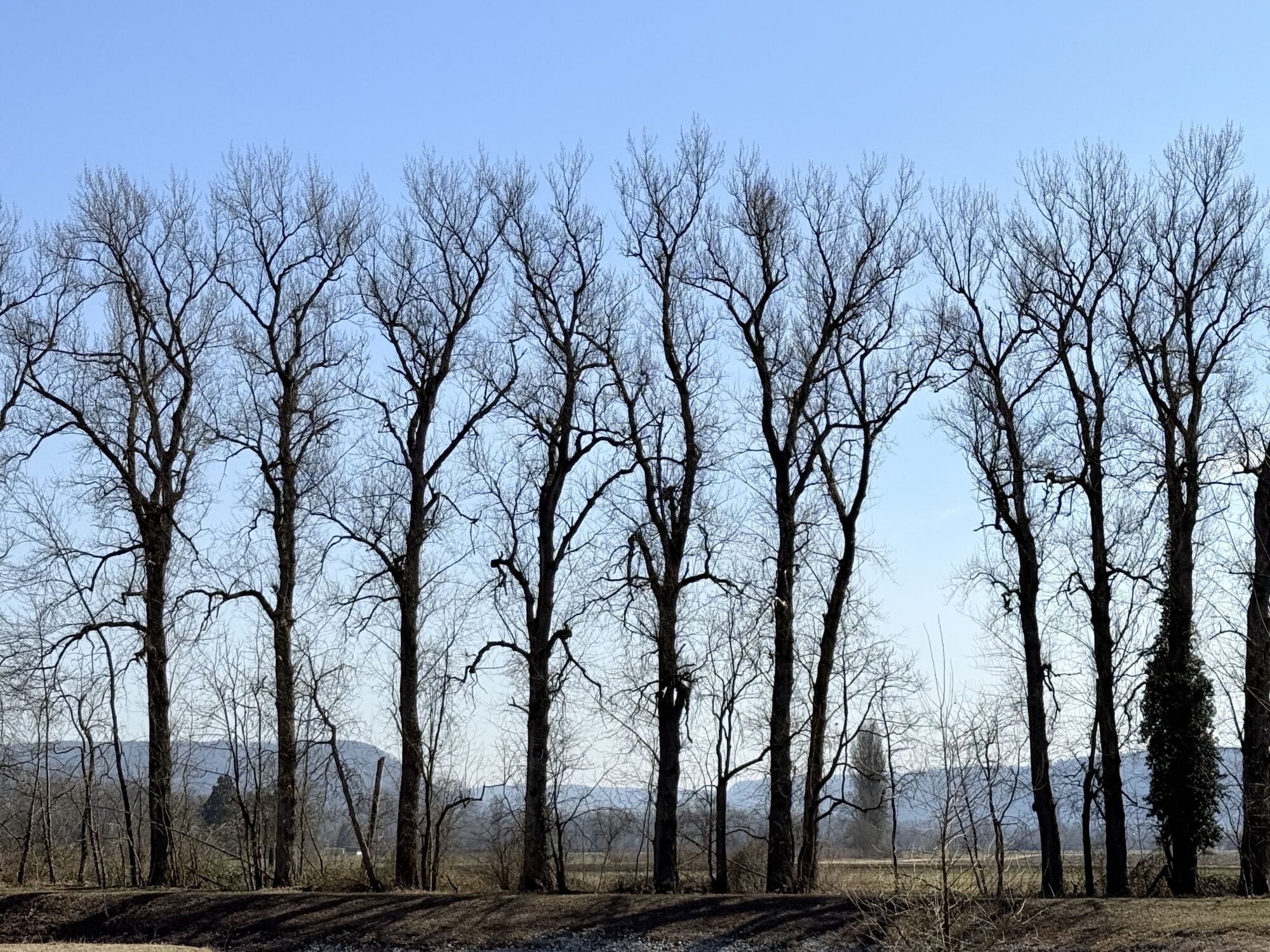
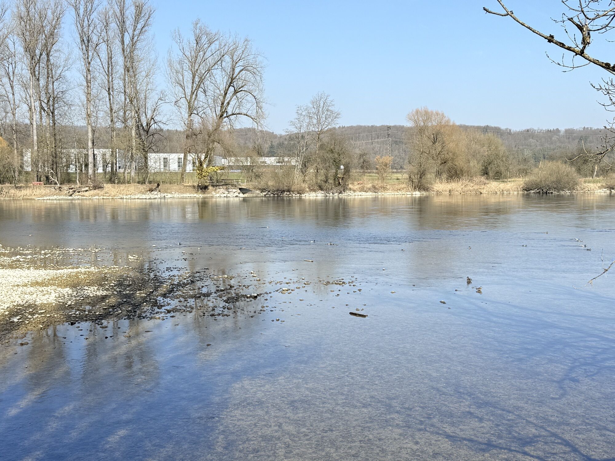
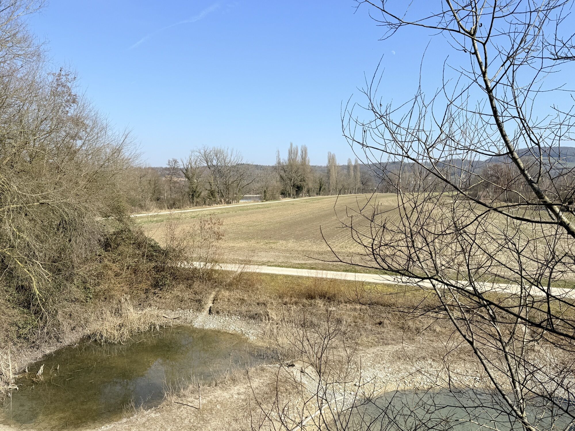
After a short climb (Katzensteig) up to this magnificent viewpoint high above the spa quarter, the effort is rewarded by a wide view over the Rhine valley towards the nearby Black Forest. A panoramic panel...
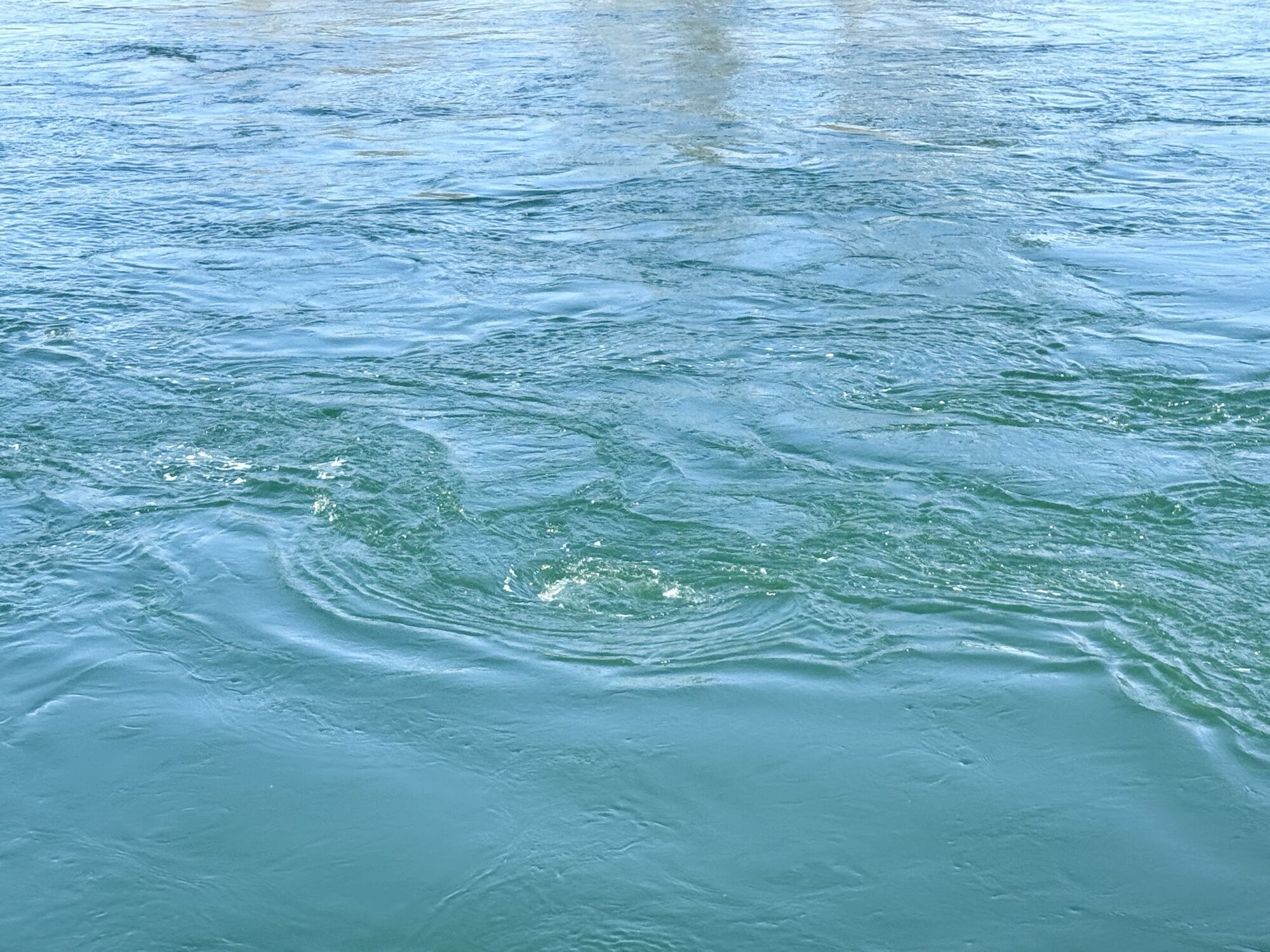
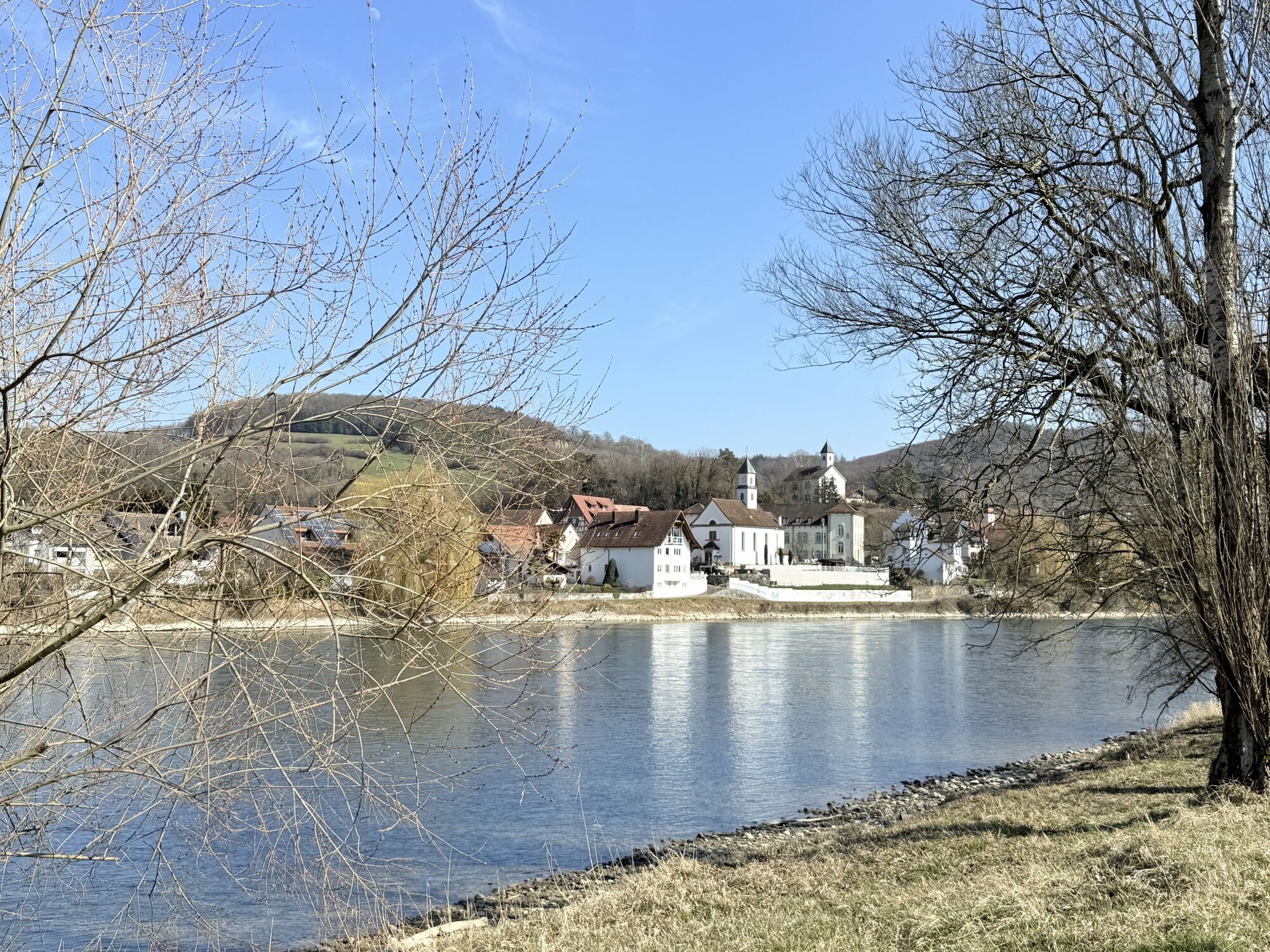
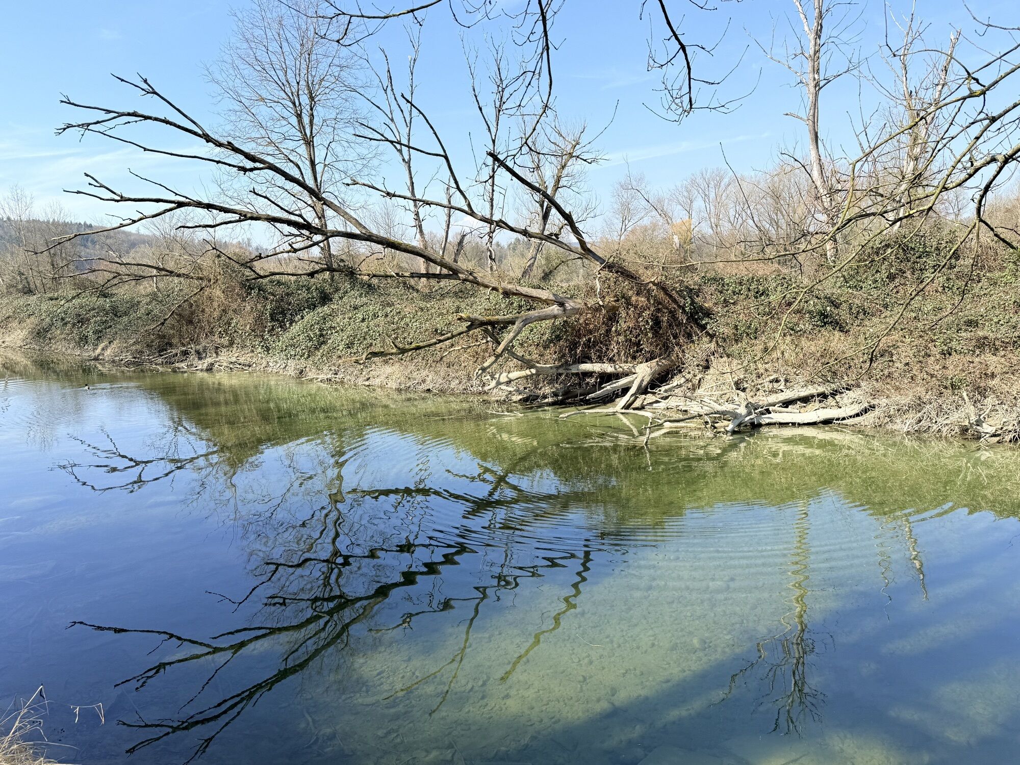
From Koblenz, the route runs along a well-developed riverside path along the only still free-flowing section of the Rhine between Lake Constance and Rotterdam. At the Koblenz rapids, the Rhine flows in foaming, rushing torrents over rocky banks downstream. Just before the rapids, there is a Roman lookout directly on the trail that cannot be missed. Later you will also encounter the historic Barzmühle on the Rhine. It has been restored in recent years and put back into working order. The waterwheel has also been rebuilt and operates intermittently.
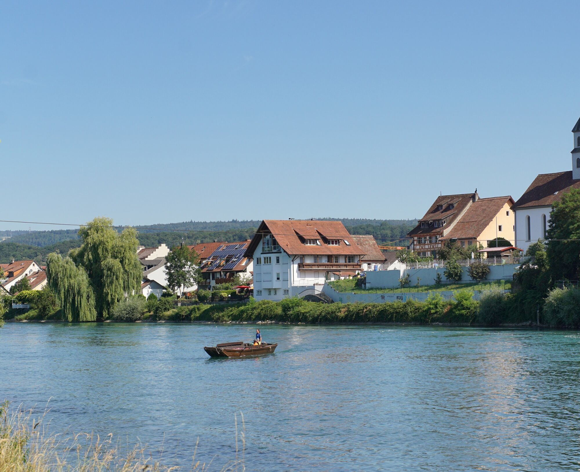
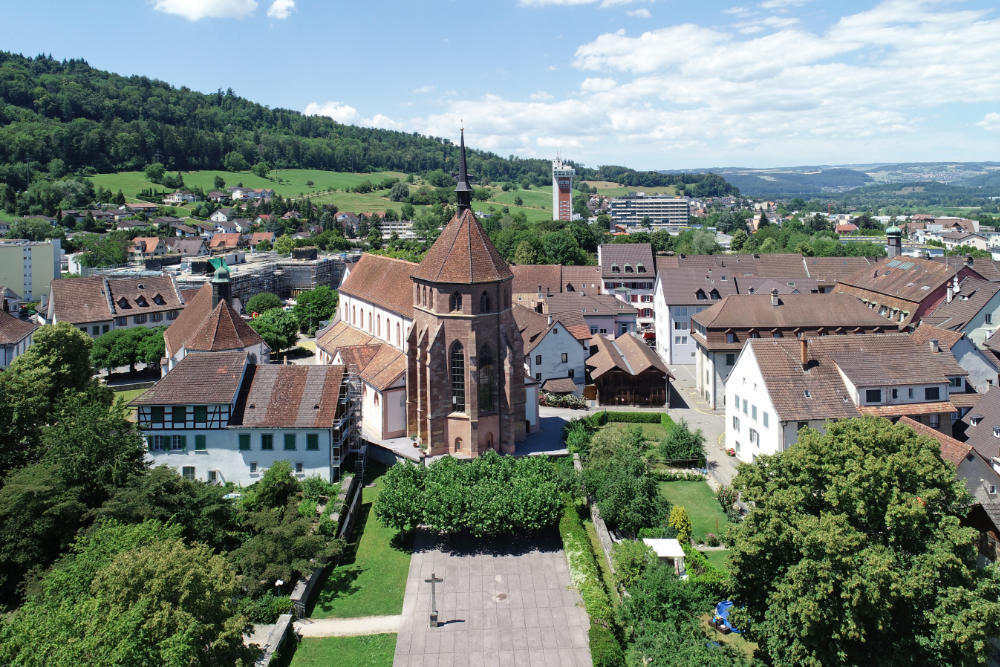
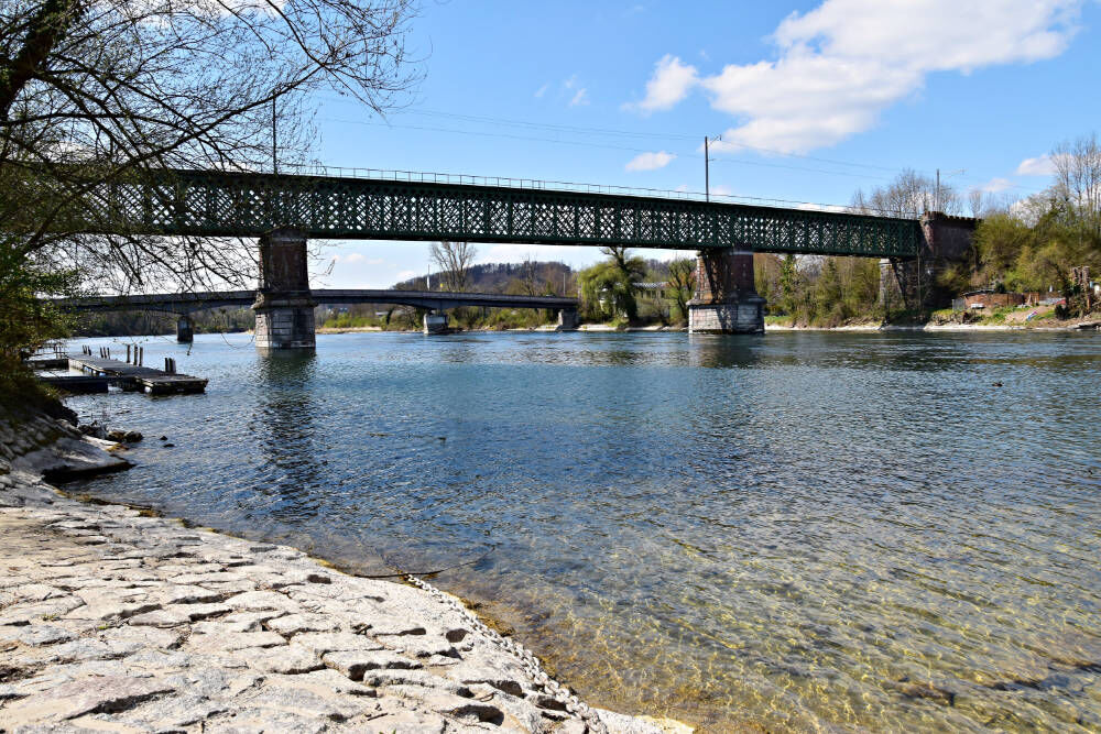
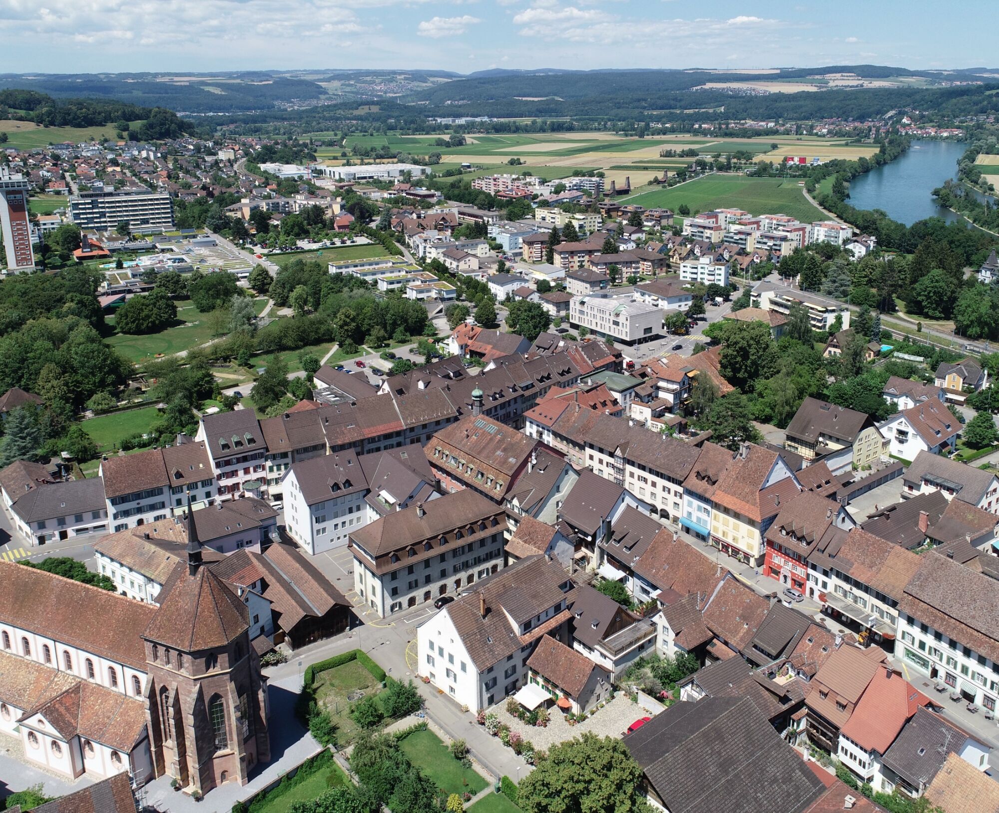
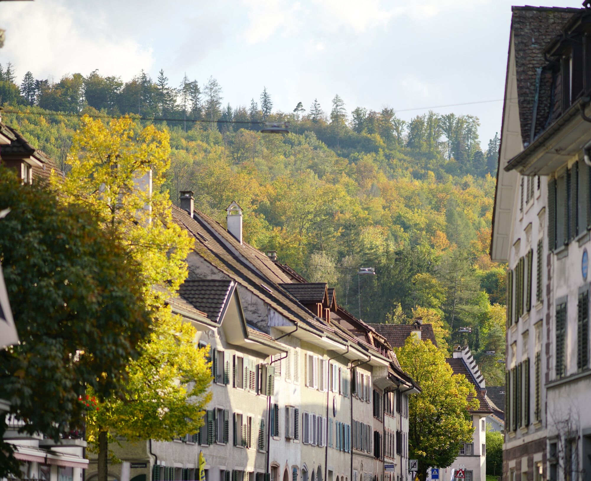
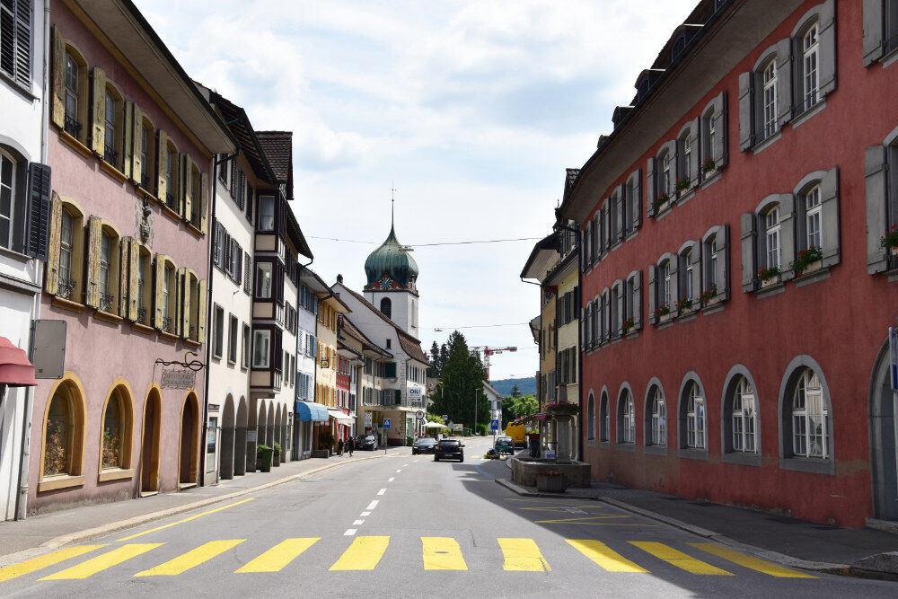

From the station or the thermal bath parking lot, follow the signs to Rheintalblick. The ascent (Katzensteig) to this magnificent viewpoint high above the spa quarter is partly very steep. From now on, the entire route continues relatively flat or downhill. After 500 meters, the Acheberg restaurant is reached. Then it is 2.5 kilometers through the forest (marked hiking trails) to the forest edge (Geisswies) above Koblenz. Soon the upper village part and the Koblenz-Dorf SBB station are reached. From here, you can return by train (option B) or decide on the second part of the hike. From the station, the path to the Rhine is well marked. From Koblenz, the route runs along a well-developed riverside path back along the Rhine to Bad Zurzach.
Tak
By car:
From Baden it takes about 25 minutes, from Zurich or Kloten Airport 35 minutes, and from Schaffhausen 40 minutes to Bad Zurzach.
By bus/train:
You can reach Bad Zurzach by bus from Brugg or by train from Baden or Waldshut.
Parking available at the paid parking lot of the Zurzach thermal baths.
See also:
Bad Zurzach Tourism AG
Dr. Martin Erb-Strasse 9
CH-5330 Bad Zurzach
Tel: +41 (0)56 269 00 60
E-Mail: welcome@badzurzach.info
Website: www.badzurzach.info
Food and drink:
On the first part of the route, the only food options are at the Rheintalblick rest area (from your backpack) or at the Acheberg restaurant. On the second part of the route, there are no restaurants. Only food from your backpack remains. In some places there are simple fire pits or benches.
Uzyskaj wgląd
Zawsze na żywo z ponad 9 500 kamer internetowych. bergfex Jako użytkownik Pro, możesz teraz zobaczyć odpowiednie kamery internetowe dla wielu wycieczek w aplikacji wycieczki od. Pozwala to na bezpośredni podgląd aktualnych warunków.
Popularne wycieczki w okolicy
-
3,5
Premium Hiking Trail - Rappenfelsensteig
średniTrasa tematyczna 12,9 km -
5,0
Berau - ruins, rocks & gorges
średniWędrówka 9,68 km -
4,0
Cross-border Rhine riverside path
światłoWędrówka 7,81 km -
5,0
Heilklima Wanderweg - Terrainkurweg 4
Wędrówka 5,85 km -
Wolfssteig Höchenschwand
średniWędrówka 22,0 km -
Around the Klingnau reservoir
światłoWędrówka 10,7 km -
Wolfspfad Höchenschwand
światłoTrasa tematyczna 3,97 km -
5,0
Schinznach Bad - Brugg, Schweiz
światłoWędrówka 10,5 km -
4,0
"Falkenstein" circular route
światłoWędrówka 5,66 km -
5,0
Zum Höllbachfall im Hotzenwald
średniWędrówka 5,16 km
Wędrówki i tropienie


Nie przegap ofert i inspiracji na następne wakacje
Twój adres e-mail została dodana do listy mailingowej.





