






The Forest Trail
Poziom trudności: T1
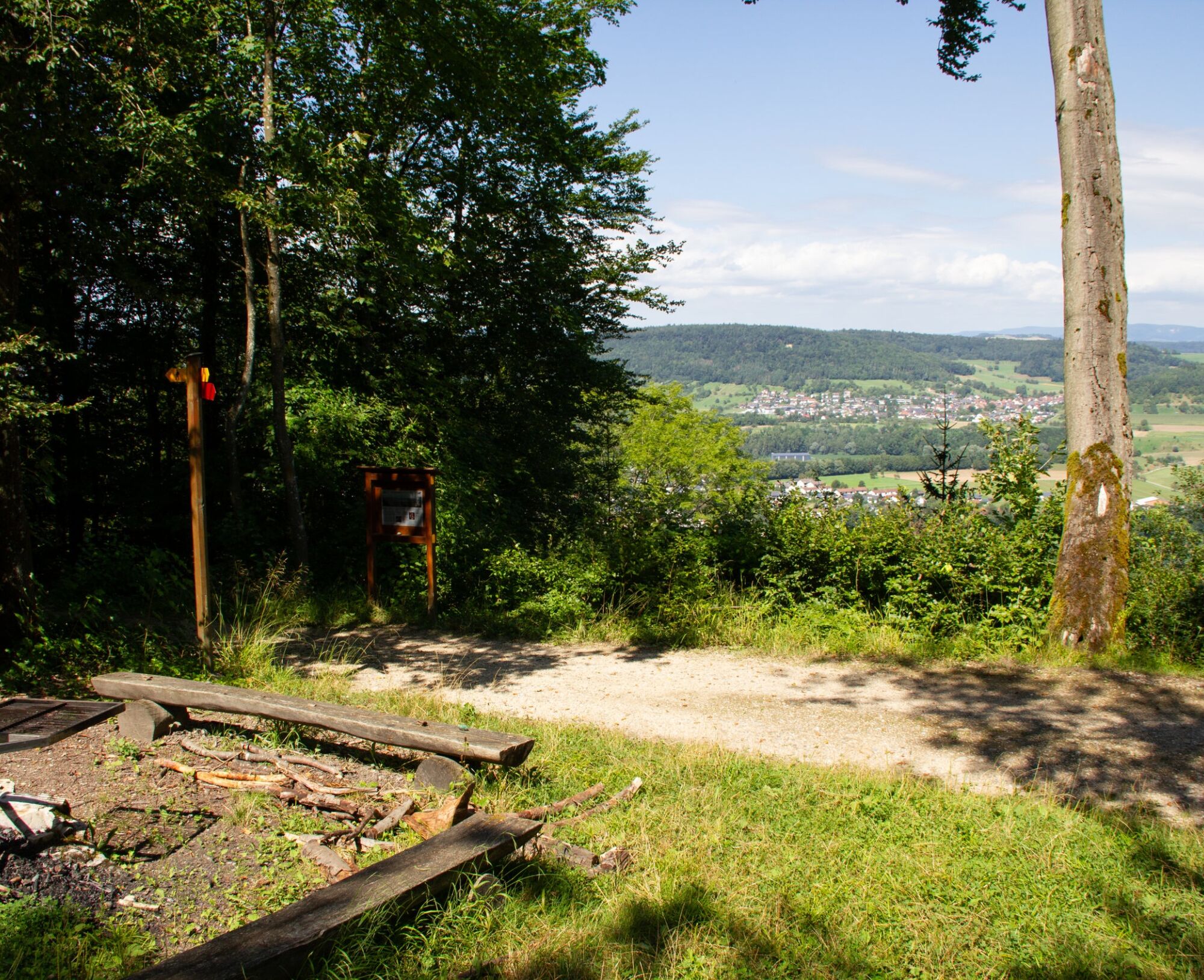
The hike starts leisurely along the forest edge before the steady ascent to the Rhine Valley viewpoint begins. From here, a breathtaking view of the Rhine Valley opens up. At a lovingly designed information...
The hike starts leisurely along the forest edge before the steady ascent to the Rhine Valley viewpoint begins. From here, a breathtaking view of the Rhine Valley opens up. At a lovingly designed information board, you can admire the beauty of the valley, while a cozy rest area invites you to relax and enjoy the moment. The easy Jura plateau hike then leads you to Achenberg, where a simple yet inviting restaurant awaits you. After the break, it’s worth walking a little further to the Loretto Chapel, which forms an oasis of calm in the middle of nature. Afterwards, you head back towards the Achenberg parking lot. The path continues until you reach the junction to Zurziberg Passhöhe. There is also a bus stop here in case you want to start your journey home to Bad Zurzach. If you still feel like a little discovery tour, cross the main road and follow the bright yellow signposts to Hörnli. Here, too, you’ll find a picturesque resting place with an information board that explains the beauty of the surroundings. From Hörnli, the path leads back to Bad Zurzach, passing blooming meadows and shady trees that accompany the day to a peaceful end.

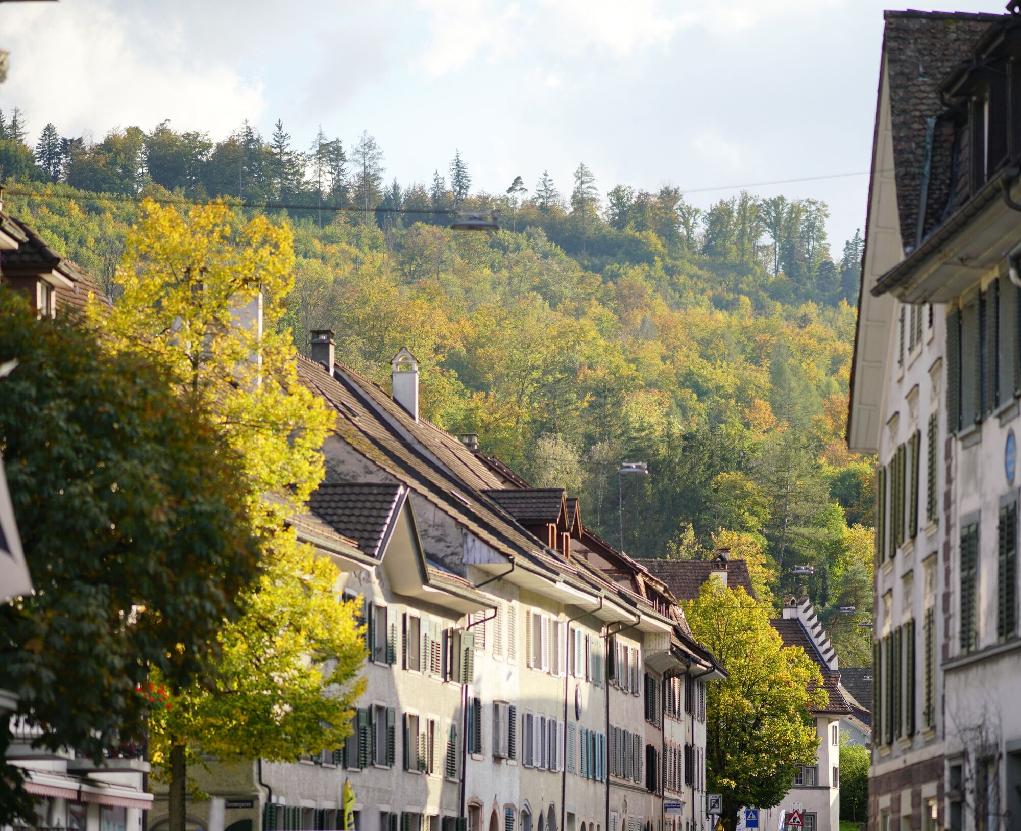
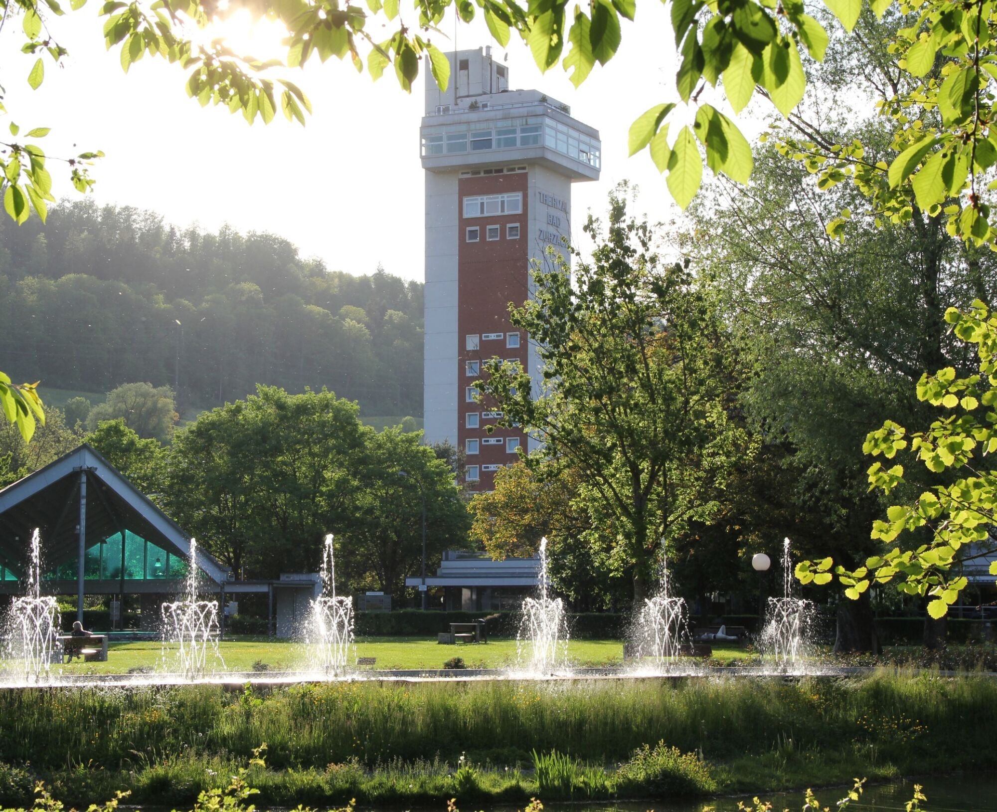

Forest edge trail (Huebstrasse) - Rebberghof - Rhine Valley viewpoint - Achenberg - Zurziberg Passhöhe.
If desired: continue to Hörnli - back to Bad Zurzach.
Tak
By car:
From Baden it takes about 25 minutes, from Zurich or Kloten Airport 35 minutes, and from Schaffhausen 40 minutes to Bad Zurzach.
By bus/train:
You can reach Bad Zurzach by bus from Brugg, or by train from Baden or Waldshut.
Parking available at the paid parking lot of the Zurzach Thermal Spa.
T1
See also:
Bad Zurzach Tourism AG
Dr. Martin Erb-Strasse 5
CH-5330 Bad Zurzach
Tel: +41 (0)56 269 00 60
Email: welcome@badzurzach.info
Internet: www.badzurzach.info
Refreshments: From your backpack or in restaurants.
Public transport: PostBus line 360 (Brugg - Bad Zurzach)
Uzyskaj wgląd Zawsze na żywo z ponad 9 500 kamer internetowych. bergfex Jako użytkownik Pro, możesz teraz zobaczyć odpowiednie kamery internetowe dla wielu wycieczek w aplikacji wycieczki od. Pozwala to na bezpośredni podgląd aktualnych warunków. Popularne wycieczki w okolicy
- 5,0
Lägern ridge hike
średniWędrówka 12,0 km - 3,8
Chänzeli -Tour: Eine Panorama - Stadtwanderung
światłoWędrówka 7,81 km - 4,5
Lägern Rundwanderung
średniWędrówka 13,0 km - 4,0
Gratwanderung über die Lägern
ciężkiWędrówka 14,8 km - 5,0
Berau - ruins, rocks & gorges
średniWędrówka 9,71 km - 4,0
Cross-border Rhine riverside path
światłoWędrówka 7,81 km Around the Klingnau reservoir
światłoWędrówka 10,7 km- 4,0
"Falkenstein" circular route
światłoWędrówka 5,69 km - 4,0
"Hutpfad" hiking trail
światłoWędrówka 8,43 km - 5,0
Bad Zurzach - Hörndli - Rekingen - Bad Zurzach
średniWędrówka 9 km
Wędrówki i tropienie


Nie przegap ofert i inspiracji na następne wakacje
Twój adres e-mail została dodana do listy mailingowej.





