


Vitaparcours Bad Zurzach
Promotion of health, development of family and nature experiences, strengthening of mass sports – the concept of the Zurich Vitaparcours remains valid. Sports enthusiasts complete fifteen stations on a...
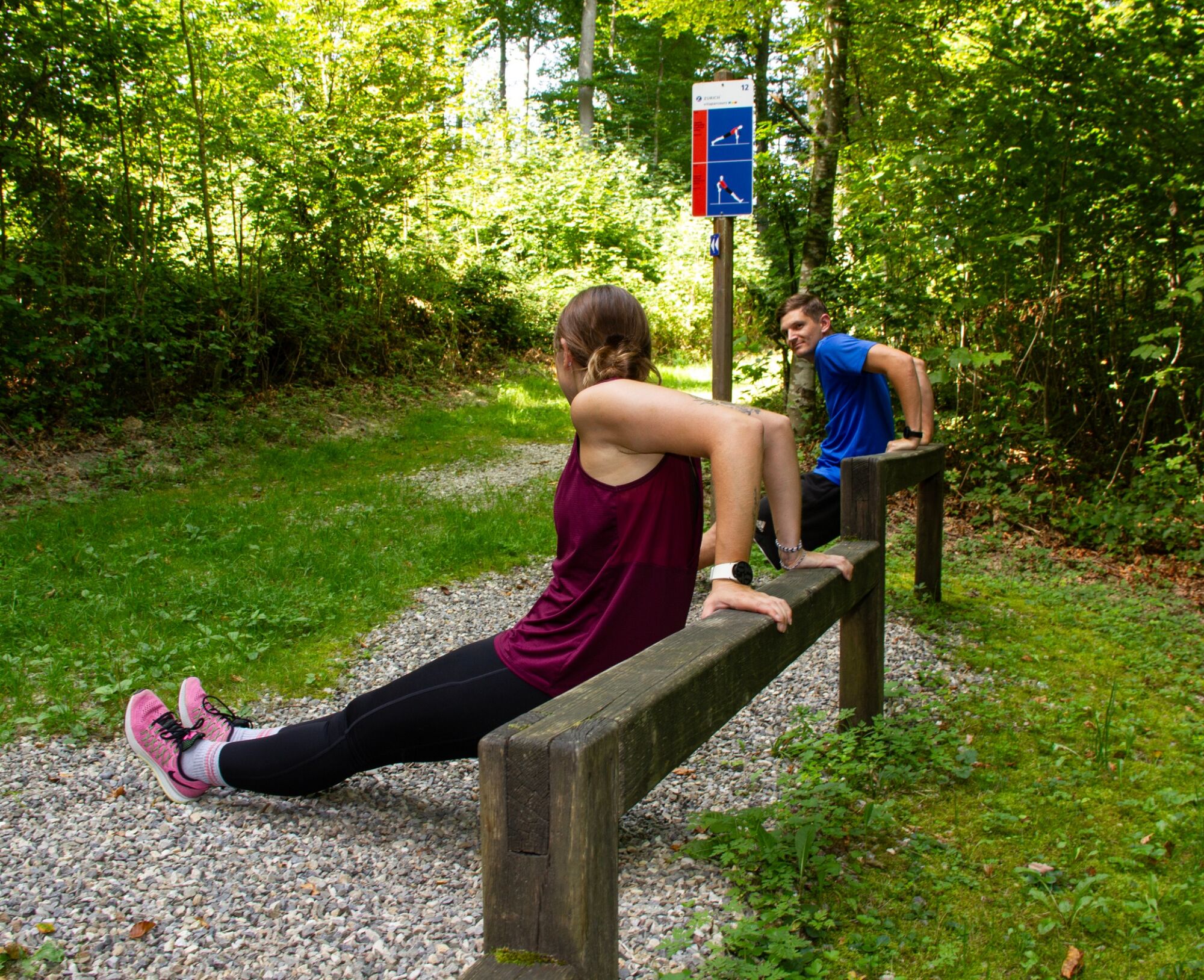
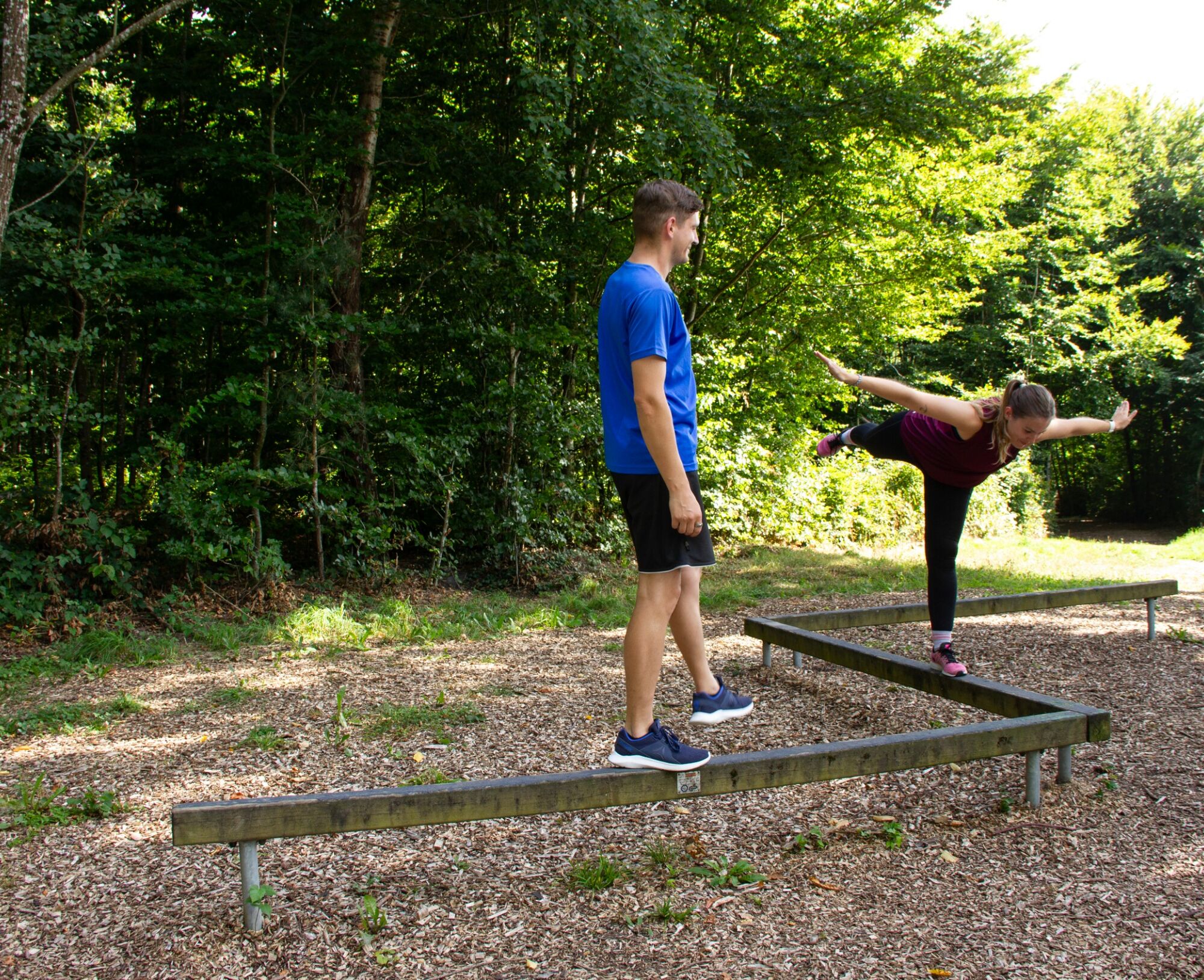
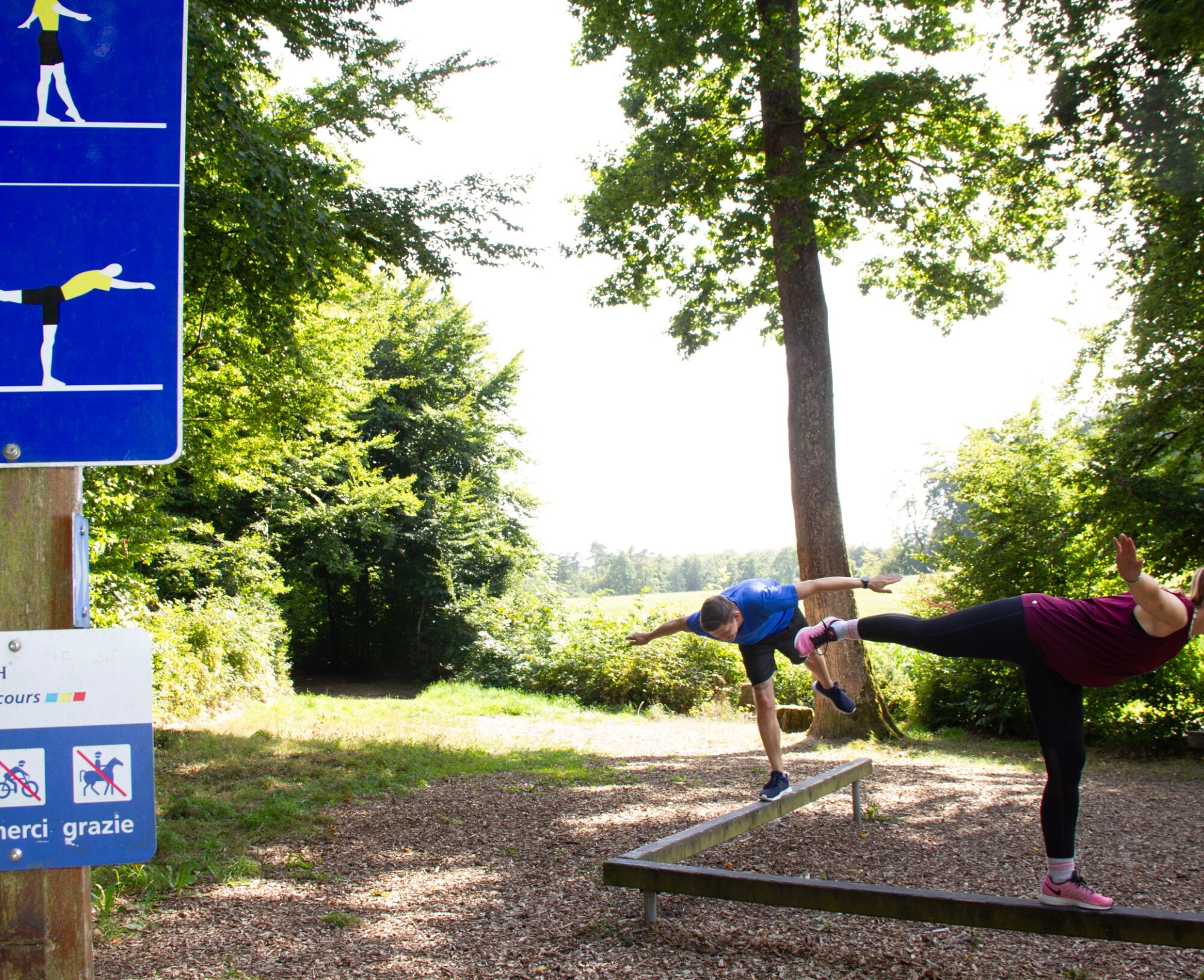
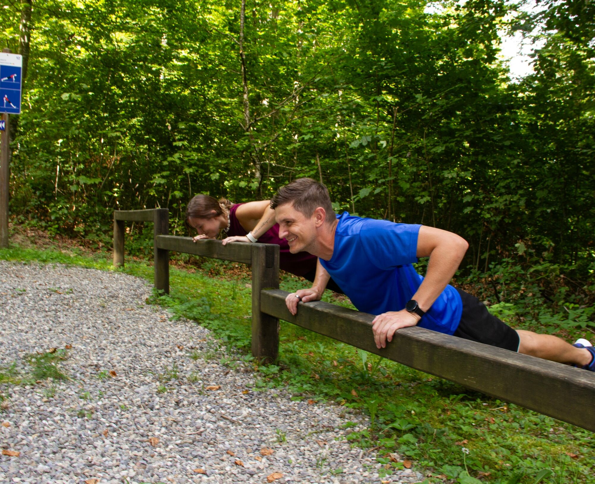
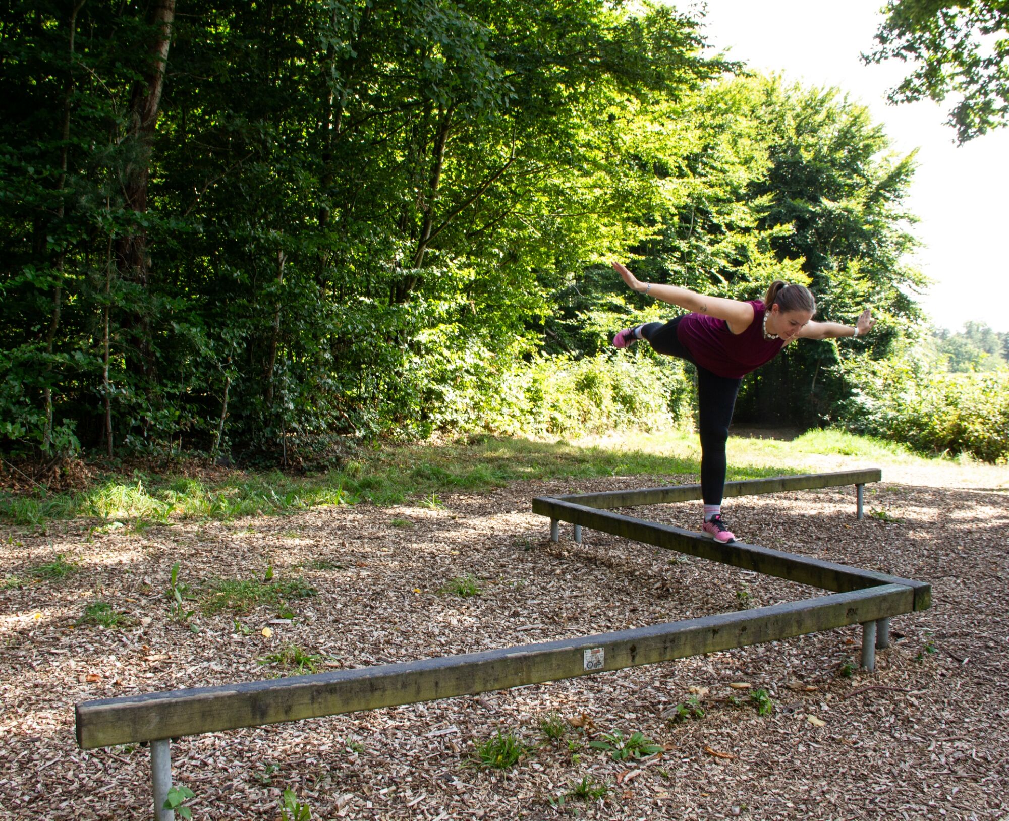
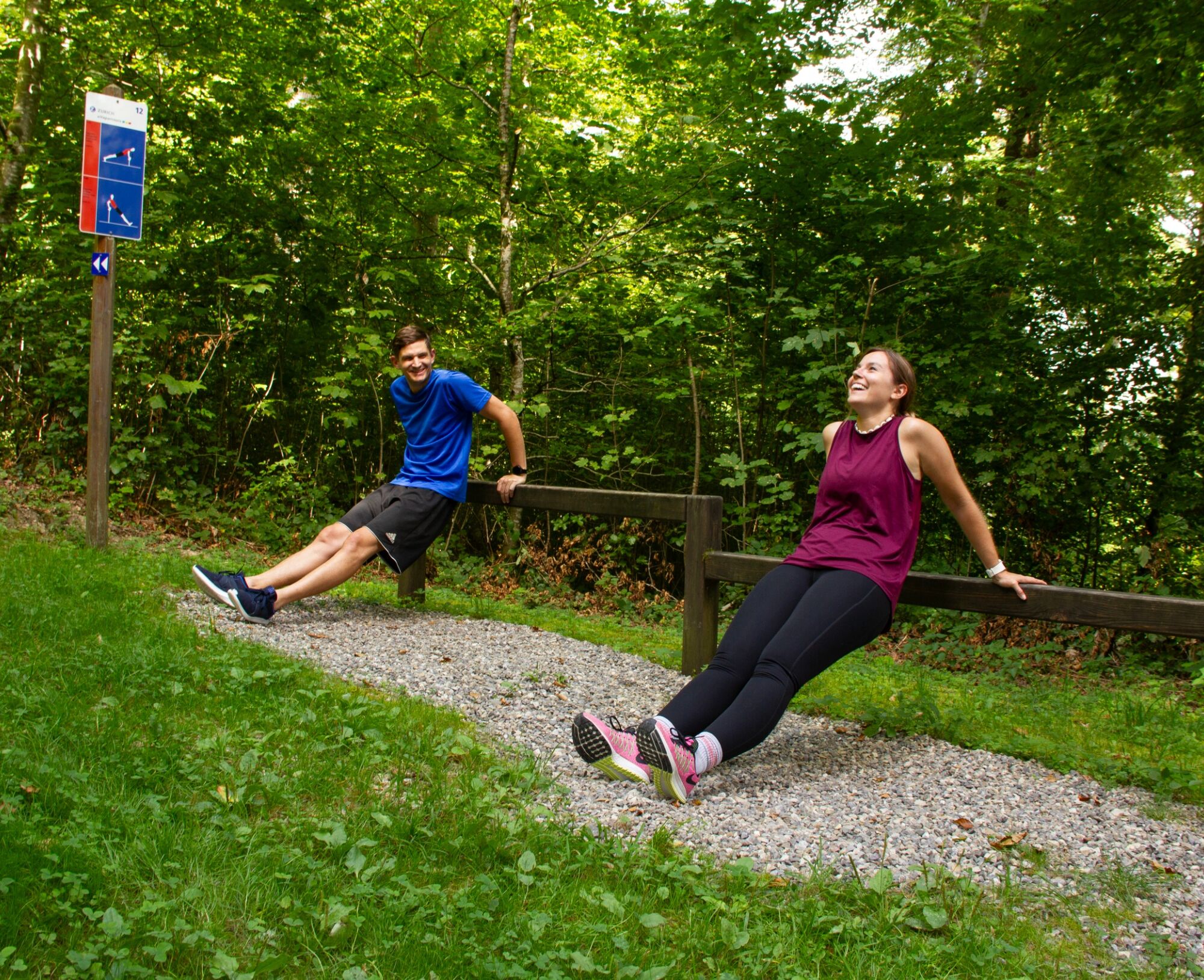
Promotion of health, development of family and nature experiences, strengthening of mass sports – the concept of the Zurich Vitaparcours remains valid. Sports enthusiasts complete fifteen stations on a course laid out through the forest, each with a choice from a total of 43 exercises:
yellow indicates exercises for mobility and dexterity, red for strength, and blue for enduranceEach parcours is measured according to length, elevation, and performance kilometers. The final board provides information on calorie consumption and endurance capacity. Moreover, the parcours also become a very personal experience. Because here people chat, laugh, and sometimes even flirt. The parcours are located in the most beautiful stadium in the world – in nature. Everyone can go there for free, whenever they want, alone or in company.

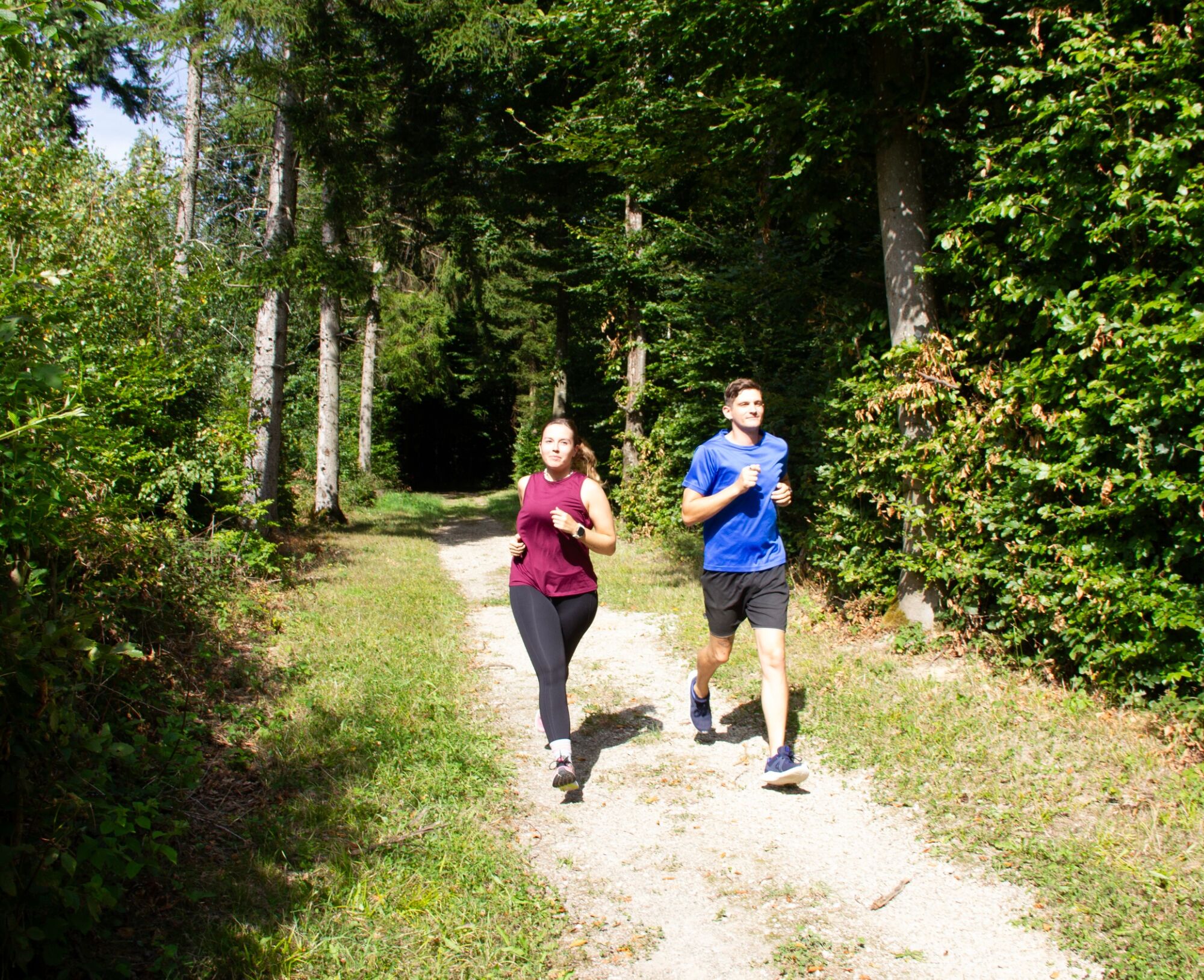
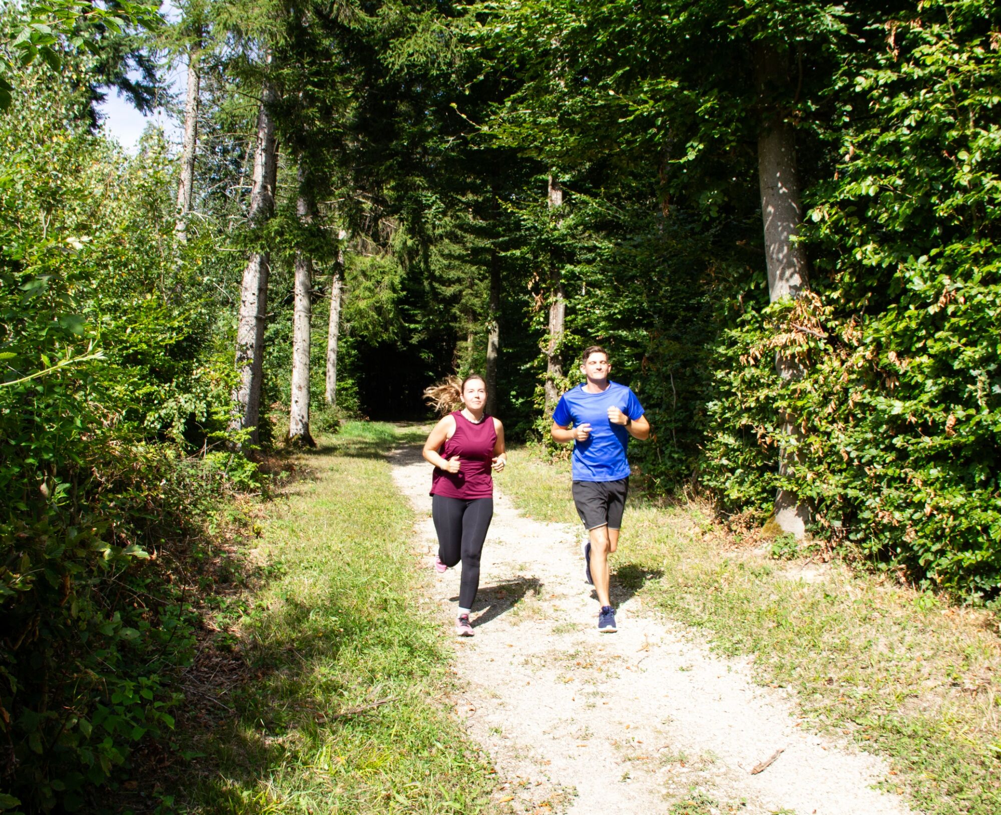
The start and finish are located directly at the Vitaparcours parking lot. Follow the Vitaparcours signs.
Tak
Suitable running shoes
The Vitaparcours is easily accessible between Bad Zurzach and Tegerfelden on the Achenberg.
If arriving by bus (Bad Zurzach – Brugg line), get off at the Tierpark stop (just under 1.5 km to the Vitaparcours).
On foot, you can use numerous hiking trails around Bad Zurzach or Achenberg. It takes about 40 minutes on foot from Bad Zurzach to the Vitaparcours Bad Zurzach.
If arriving by car, you can use the parking lots at the start of the Vitaparcours.
Use of the Vitaparcours is free of charge.
Enjoy the view of Bad Zurzach at the various viewpoints along the way.
Popularne wycieczki w okolicy
-
5,0
Lägern ridge hike
średniWędrówka 12,0 km -
3,8
Chänzeli -Tour: Eine Panorama - Stadtwanderung
światłoWędrówka 7,81 km -
4,0
Gratwanderung über die Lägern
ciężkiWędrówka 14,8 km -
5,0
Berau - ruins, rocks & gorges
średniWędrówka 9,71 km -
4,0
Cross-border Rhine riverside path
światłoWędrówka 7,81 km -
Wolfspfad Höchenschwand
światłoTrasa tematyczna 3,97 km -
Around the Klingnau reservoir
światłoWędrówka 10,7 km -
4,0
"Falkenstein" circular route
światłoWędrówka 5,69 km -
4,0
"Hutpfad" hiking trail
światłoWędrówka 8,43 km -
5,0
Bad Zurzach - Hörndli - Rekingen - Bad Zurzach
średniWędrówka 9 km
Wędrówki i tropienie


Nie przegap ofert i inspiracji na następne wakacje
Twój adres e-mail została dodana do listy mailingowej.