


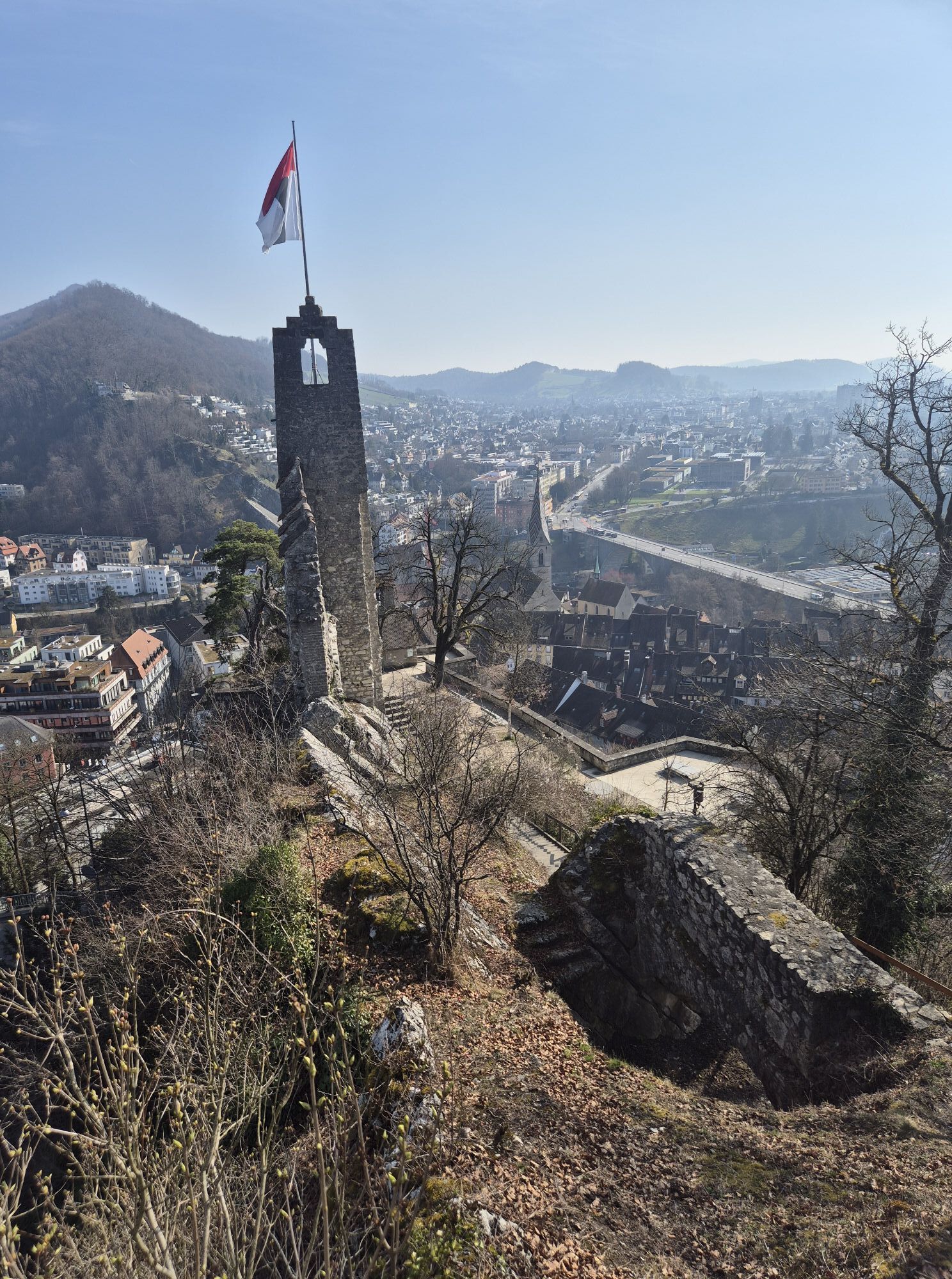
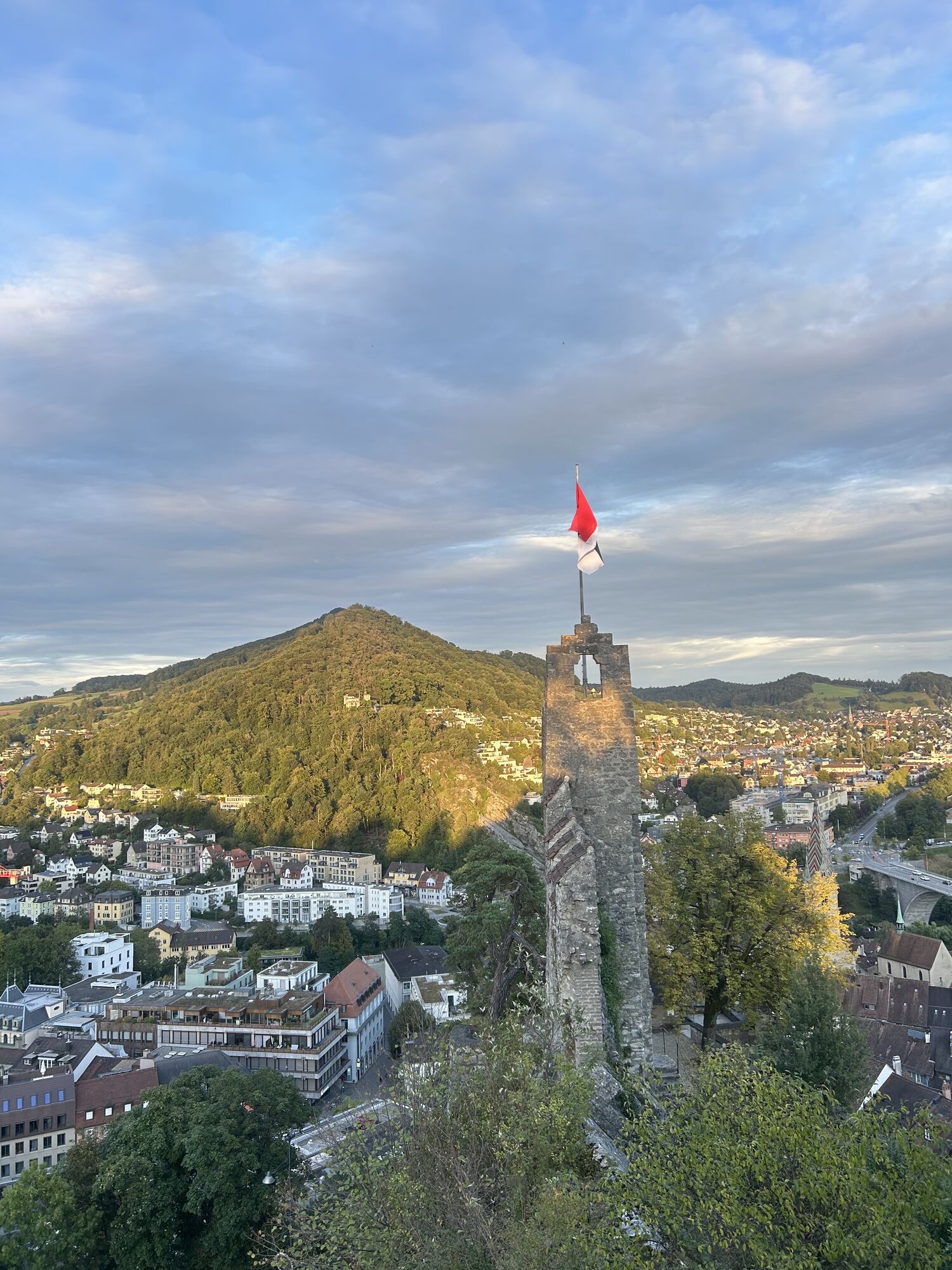
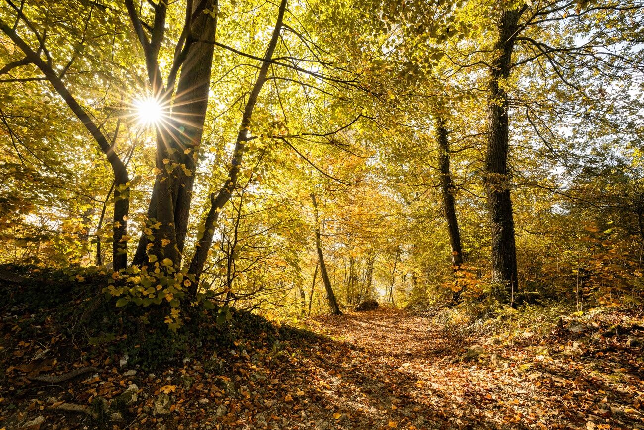
Nature Audioguide Baden

What does a Velcro fastener have in common with a propeller? Are there pink mushrooms in the Baden forest? And what do you think a river sounds like under water? Listen carefully and find out the answers...
The Nature Audio Guide leads from Baldegg to Ennetbaden. No matter if whether you are taking the entire tour or just visiting individual locations, at each of the 19 stations you will find a telephone number that you can call free of charge from your mobile phone. This is how you find out exciting things about the Baden forest and its special features, while being immersed in the forest's greenery.

Total 3:45h
Point 1 to 6: 0.45h
Point 7 to 12: 1.15h
Point 13 to 19: 1.45h
Tak
Long sleeves due to ticks
Baden is easily accessible at any time by train or bus.
Find parking here.
Stadtforstamt and Stadtökologie Baden, ecolinnea GmbH Zürich
Popularne wycieczki w okolicy
-
5,0
Lägern ridge hike
średniWędrówka 12,0 km -
3,8
Chänzeli -Tour: Eine Panorama - Stadtwanderung
światłoWędrówka 7,81 km -
4,5
Lägern Rundwanderung
średniWędrówka 13,0 km -
4,0
Gratwanderung über die Lägern
ciężkiWędrówka 14,8 km -
Linner Wasserfall
światłoWędrówka 4,67 km -
4,1
Linn - Effingen - Bruderhöhle - Gallenkirch
średniWędrówka 7,88 km -
4,0
Cross-border Rhine riverside path
światłoWędrówka 7,81 km -
Around the Klingnau reservoir
światłoWędrówka 10,7 km -
5,0
Schinznach Bad - Brugg, Schweiz
światłoWędrówka 10,5 km -
Habsburg Route 5th stage: Mellingen - Bremgarten
średniWędrówka 14,2 km
Wędrówki i tropienie


Nie przegap ofert i inspiracji na następne wakacje
Twój adres e-mail została dodana do listy mailingowej.