






Wellness4 route: Rheinfelden - Bad Zurzach
Poziom trudności: 2

Stage Rheinfelden - Bad Zurzach:
After a pleasant night at the Park Hotel and a journey through the wellness world sole uno, the route starts in Rheinfelden. The path leads directly along the Rhine towards...
Stage Rheinfelden - Bad Zurzach:
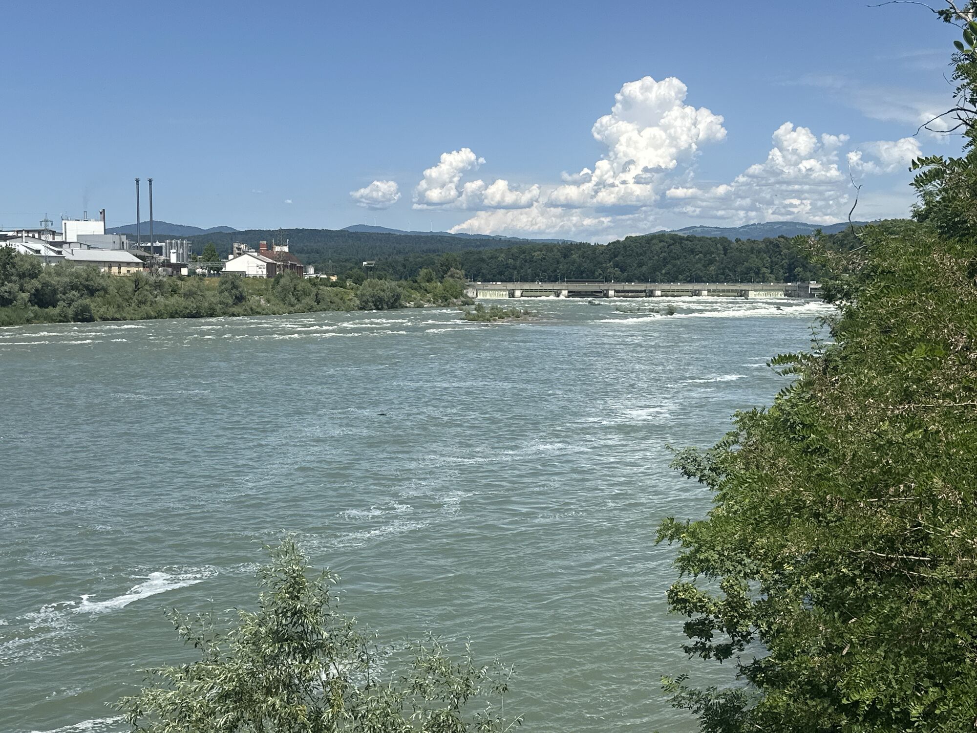
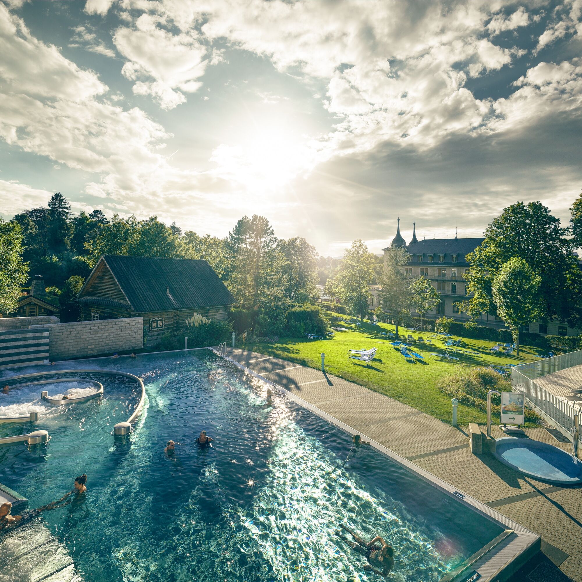
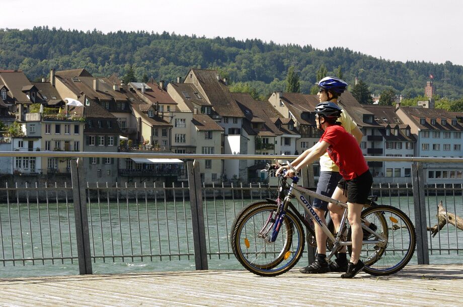
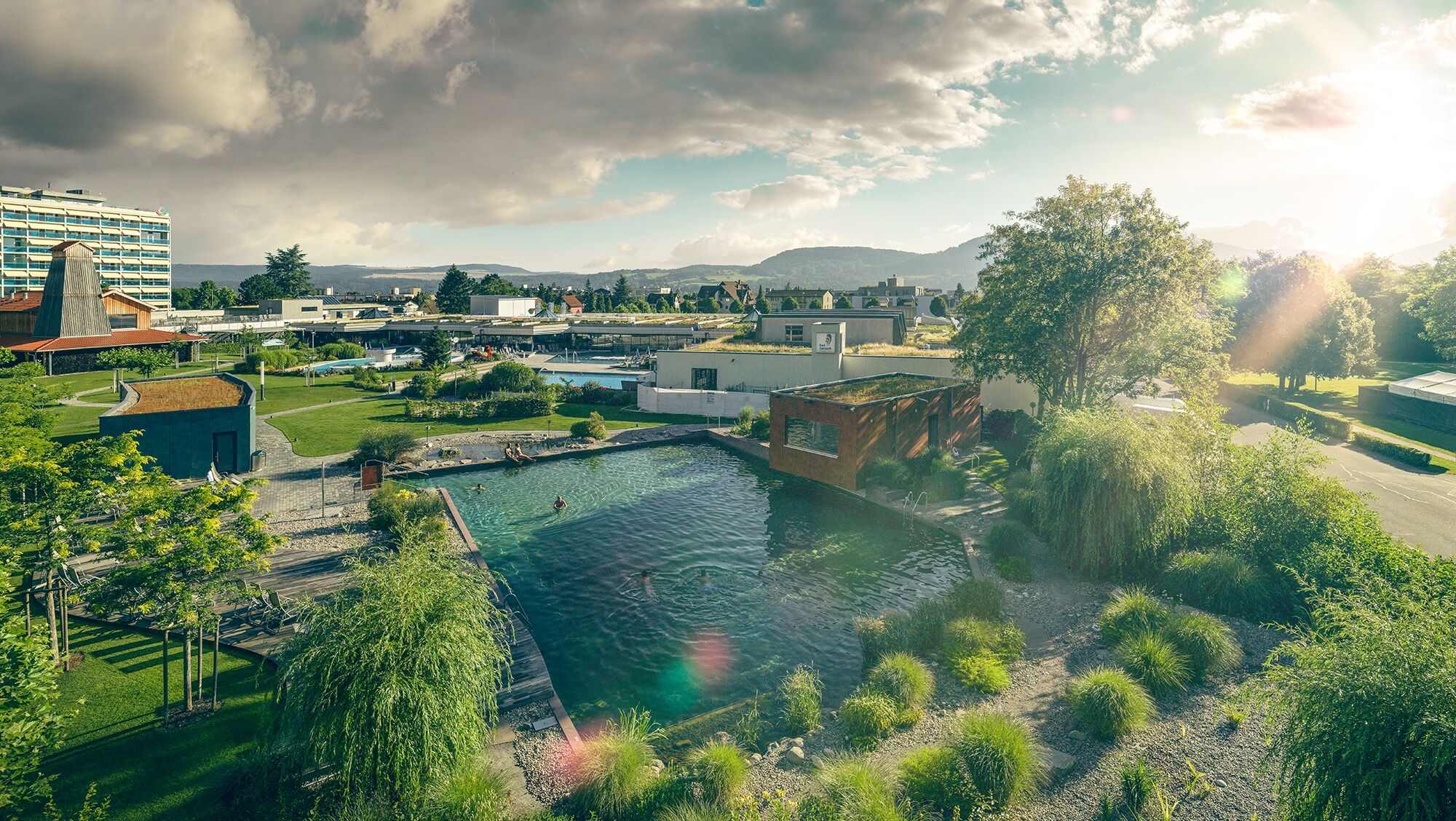
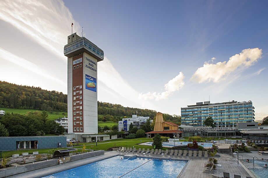
After a pleasant night at the Park Hotel and a journey through the wellness world sole uno, the route starts in Rheinfelden. The path leads directly along the Rhine towards Stein AG on the national bicycle route 2. After a short distance, you reach the picturesque town of Laufenburg, which is perfect for a break. Follow the traces of the Habsburgs or discover the world of sculptures in the Rehmann Museum. Then continue along the beautiful Rhine riverside landscape to the confluence of the Aare in Koblenz. From the Aare confluence, it's only a short distance to the historic spot Bad Zurzach. Stay at the largest outdoor thermal bath in Switzerland before night falls on Bad Zurzach.

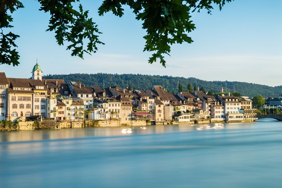
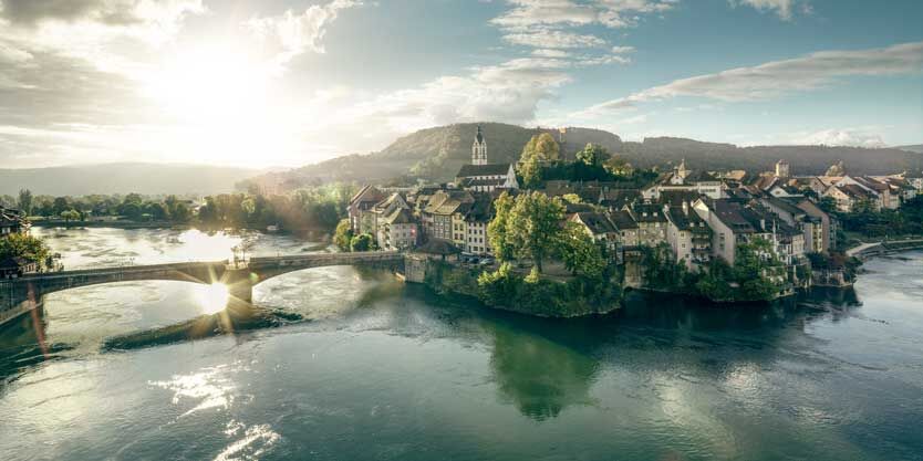
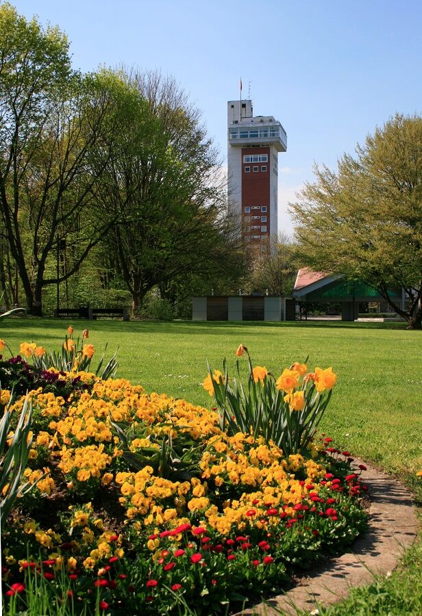
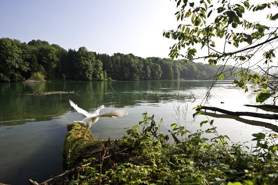

Rheinfelden - Wallbach - Stein AG - Kaisten - Laufenburg - Schwaderloch - Full-Reuenthal - Koblenz - Bad Zurzach
Tak
Detour, Bad Zurzach: The route in Bad Zurzach is redirected due to construction work until summer 2023. Please observe the signage on site.
Thermal Bath sole uno:
Parking spaces are available.
The parking garage is open continuously from Monday to Sunday from 7:00 am to 11:00 pm.
Thermal Bath Zurzach:
Uncovered parking spaces are available.
The parking lot is open 24 hours a day, Monday to Sunday.
2
The path takes you along the water into the refreshing wetness.
The section between Rheinfelden & Laufenburg is particularly attractive.
Kamery internetowe z trasy
Uzyskaj wgląd
Zawsze na żywo z ponad 9 500 kamer internetowych. bergfex Jako użytkownik Pro, możesz teraz zobaczyć odpowiednie kamery internetowe dla wielu wycieczek w aplikacji wycieczki od. Pozwala to na bezpośredni podgląd aktualnych warunków.
Popularne wycieczki w okolicy
-
5,0
Hotzenwald Höhenweg
średniWędrówka 8,30 km -
Herrischried - Wanderung zum Gugelturm
średniWędrówka 6,88 km -
Linner Wasserfall
światłoWędrówka 4,67 km -
4,3
Linn - Effingen - Bruderhöhle - Gallenkirch
średniWędrówka 7,88 km -
4,8
Rickenbach: Ins Reich des Hans mit de Giige
średniWędrówka 8,34 km -
5,0
Rickenbach: Hotzenpfad Premiumwanderweg
średniWędrówka 12,7 km -
Aussichtsreiche Mountainbike Tour rund um Herrischried
średniMountainbike 15,8 km -
Around the Klingnau reservoir
światłoWędrówka 10,7 km -
5,0
Murgtalpfad - Streckentour
ciężkiWędrówka 28,1 km -
5,0
Zum Höllbachfall im Hotzenwald
średniWędrówka 5,16 km
Wędrówki i tropienie


Nie przegap ofert i inspiracji na następne wakacje
Twój adres e-mail została dodana do listy mailingowej.





