







Leisure route on the High Rhine
Poziom trudności: 2
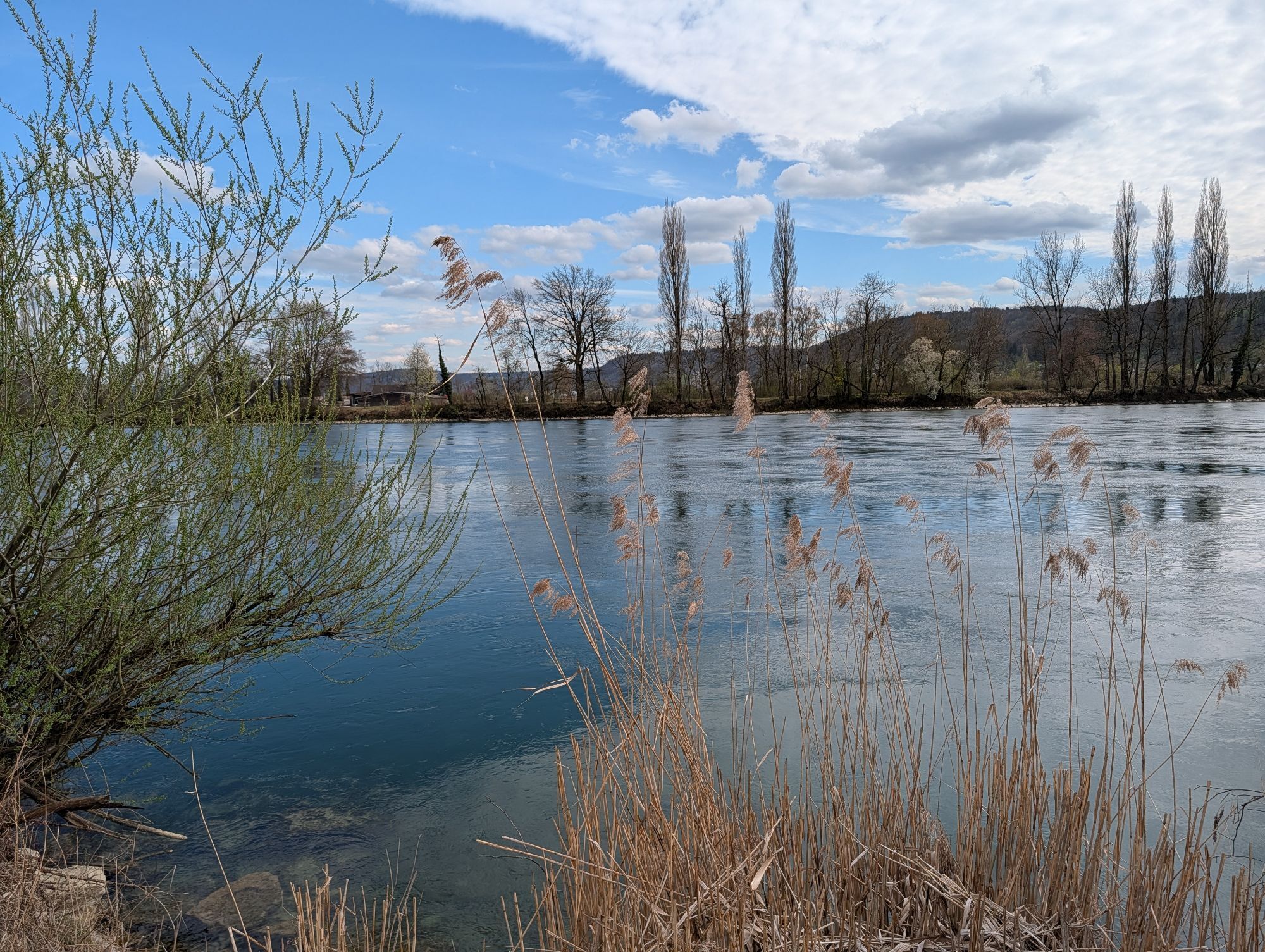
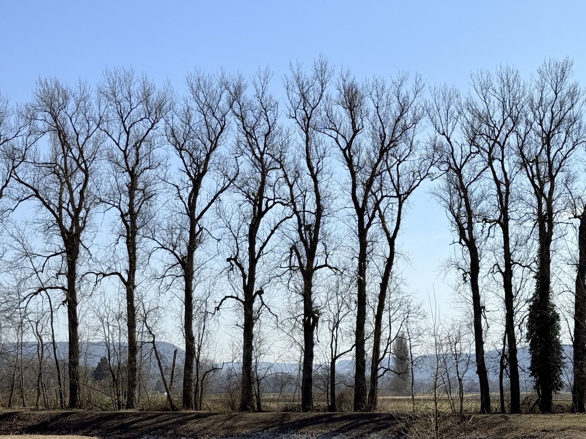
This wonderful route along the Rhine invites you to enjoy and dream. Along the beautiful river landscapes and riverside paths, you will be rewarded with fantastic views and vistas. Also, take a break and...
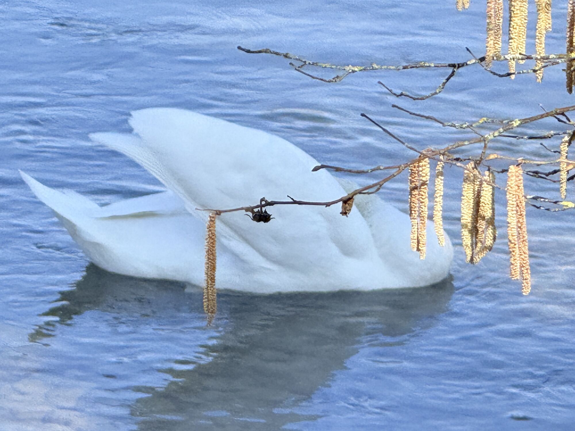
This wonderful route along the Rhine invites you to enjoy and dream. Along the beautiful river landscapes and riverside paths, you will be rewarded with fantastic views and vistas. Also, take a break and observe the nature and the spectacle offered by flora and fauna. Along the way, there are also nice places to rest to recharge for the continuation of your ride.
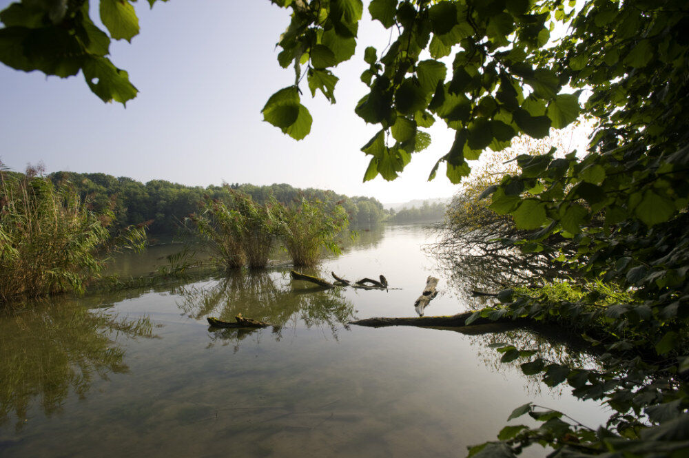
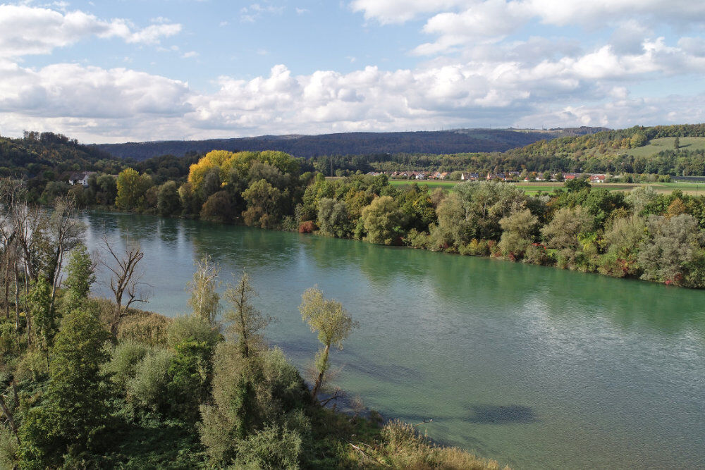
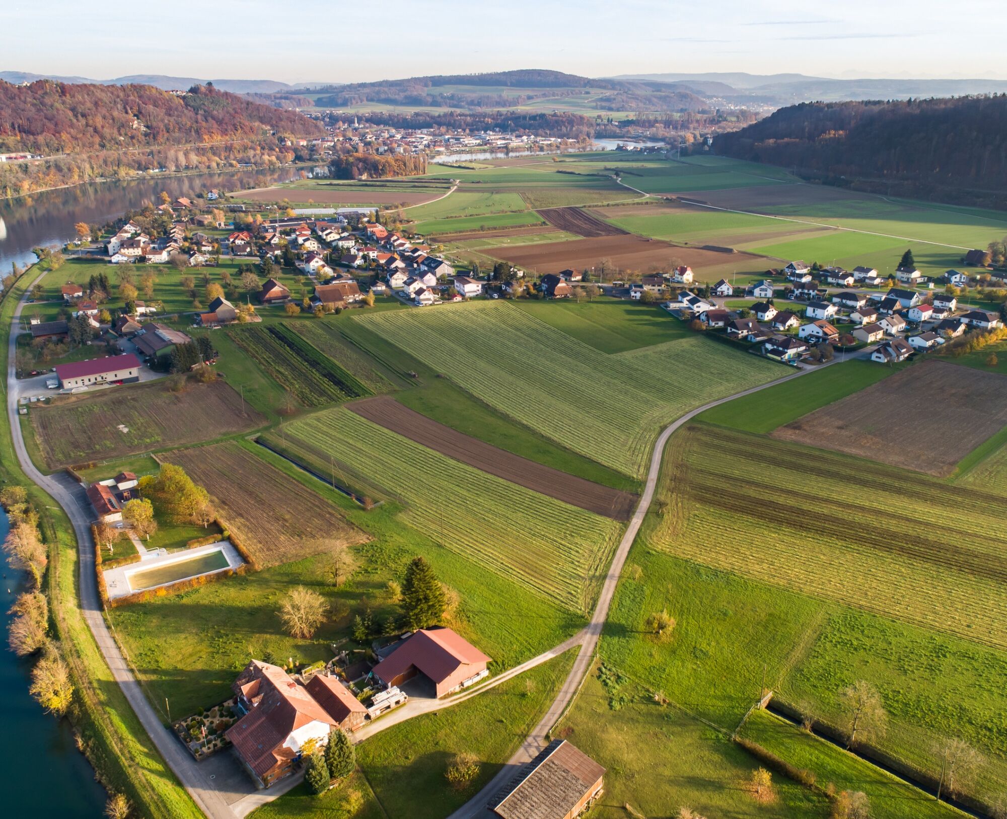
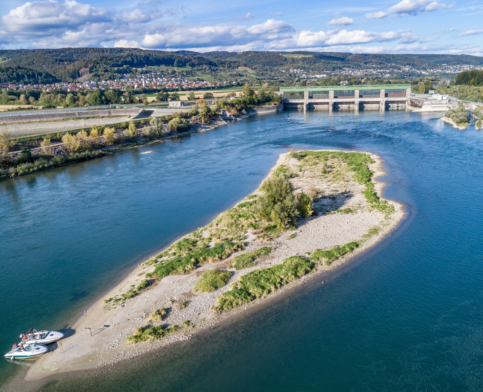
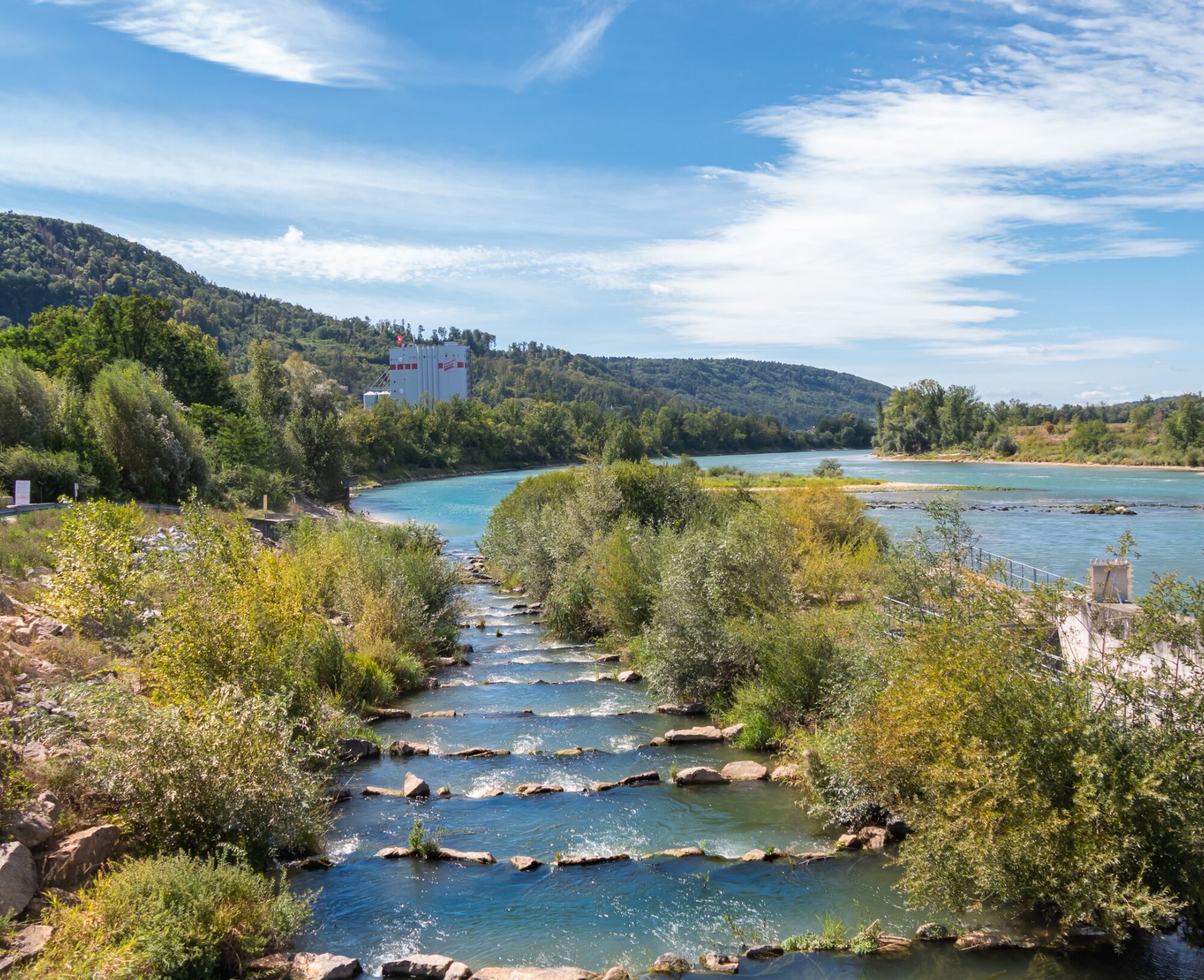
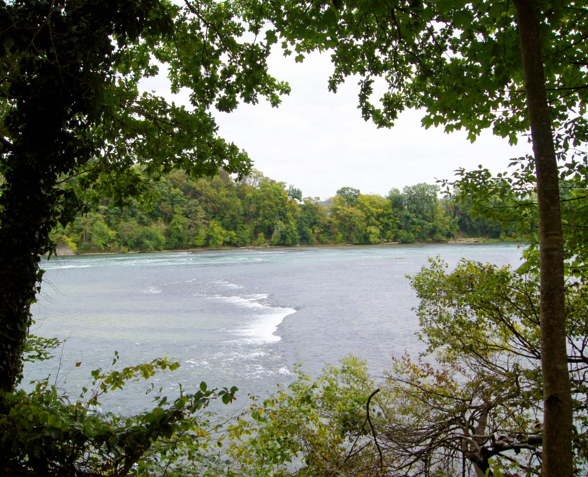

From Bad Zurzach, you reach Koblenz via side roads and the bike path. Here you ride on the bike lane along the main road (past customs) to the exit of the village of Koblenz. Now cross to the right over the Aare bridge (confluence of the Aare into the Rhine) and continue to Full and Leibstadt until Schwaderloch. There you cross the Rhine over the pedestrian/cyclist bridge. On the German side, keep right along the beautiful river landscape to Waldshut. The path then leads to Ettikon (DE); at the exit of the village, turn right to the Rhine and take the riverside path to the exit of Kadelburg (DE). Now continue on the bike path to Rheinheim (DE) to the Rhine bridge and back to the starting point in Bad Zurzach.
Tak
Bicycle helmet, drink and picnic
By car:
It takes about 25 minutes from Baden, 35 minutes from Zurich or Kloten Airport, and 40 minutes from Schaffhausen to Bad Zurzach.
By bus/train:
You can reach Bad Zurzach by bus from Brugg, or by train from Baden or Waldshut.
Parking available at the paid parking lot of the Zurzach thermal baths.
2
See also:
Bad Zurzach Tourism AG
Dr. Martin Erb-Strasse 5
CH-5330 Bad Zurzach
Tel: +41 (0)56 269 00 60
Email: welcome@badzurzach.info
Website: www.badzurzach.info
This route goes through Switzerland and Germany; please bring your identity card!
Point 048: When crossing the busy federal road (customs), using the pedestrian crossing is recommended.
Uzyskaj wgląd
Zawsze na żywo z ponad 9 500 kamer internetowych. bergfex Jako użytkownik Pro, możesz teraz zobaczyć odpowiednie kamery internetowe dla wielu wycieczek w aplikacji wycieczki od. Pozwala to na bezpośredni podgląd aktualnych warunków.
Popularne wycieczki w okolicy
-
5,0
Hotzenwald Höhenweg
średniWędrówka 8,30 km -
Herrischried - Wanderung zum Gugelturm
średniWędrówka 6,88 km -
5,0
Berau - ruins, rocks & gorges
średniWędrówka 9,68 km -
Linner Wasserfall
światłoWędrówka 4,67 km -
4,1
Linn - Effingen - Bruderhöhle - Gallenkirch
średniWędrówka 7,88 km -
4,0
Cross-border Rhine riverside path
światłoWędrówka 7,81 km -
4,8
Rickenbach: Ins Reich des Hans mit de Giige
średniWędrówka 8,34 km -
Wolfssteig Höchenschwand
średniWędrówka 22,0 km -
5,0
Murgtalpfad - Streckentour
ciężkiWędrówka 28,1 km -
Around the Klingnau reservoir
światłoWędrówka 10,7 km
Wędrówki i tropienie


Nie przegap ofert i inspiracji na następne wakacje
Twój adres e-mail została dodana do listy mailingowej.





