


Bad Zurzach – Hörndli – Schachen – Rekingen – Bad Zurzach
Poziom trudności: 3
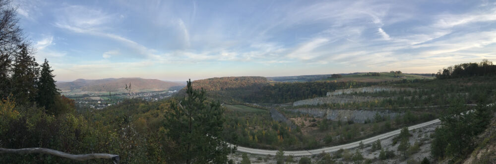
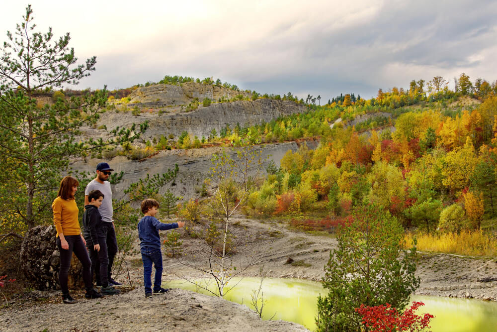
The route starts in the picturesque town of Bad Zurzach and leads to the Hörndli and Schachen viewpoints. A little further on, you can enjoy the view over the Musital quarry before heading to the villages...
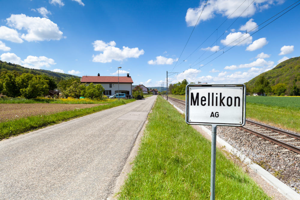
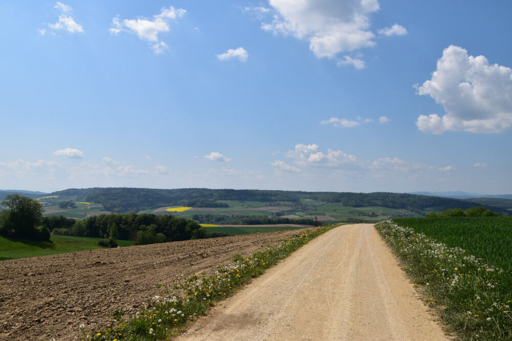
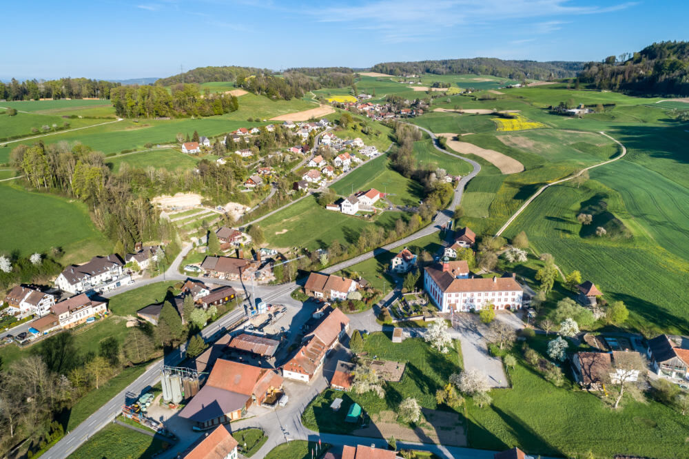
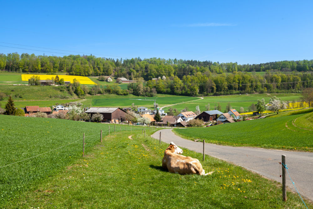
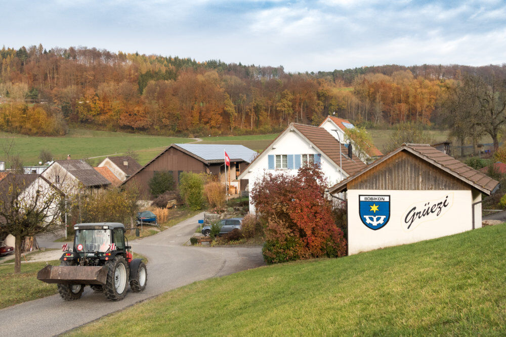
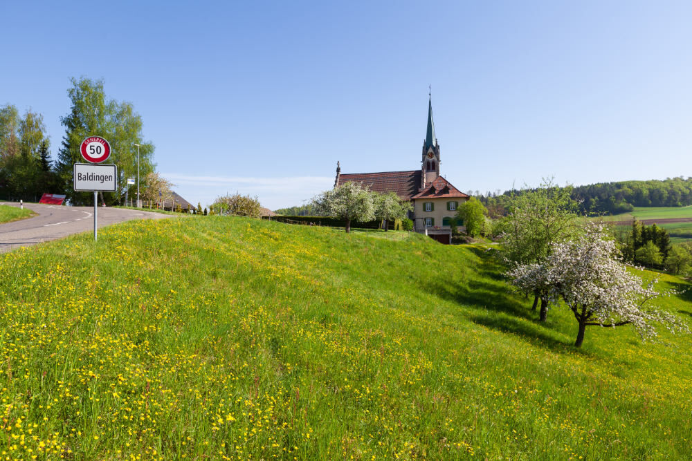
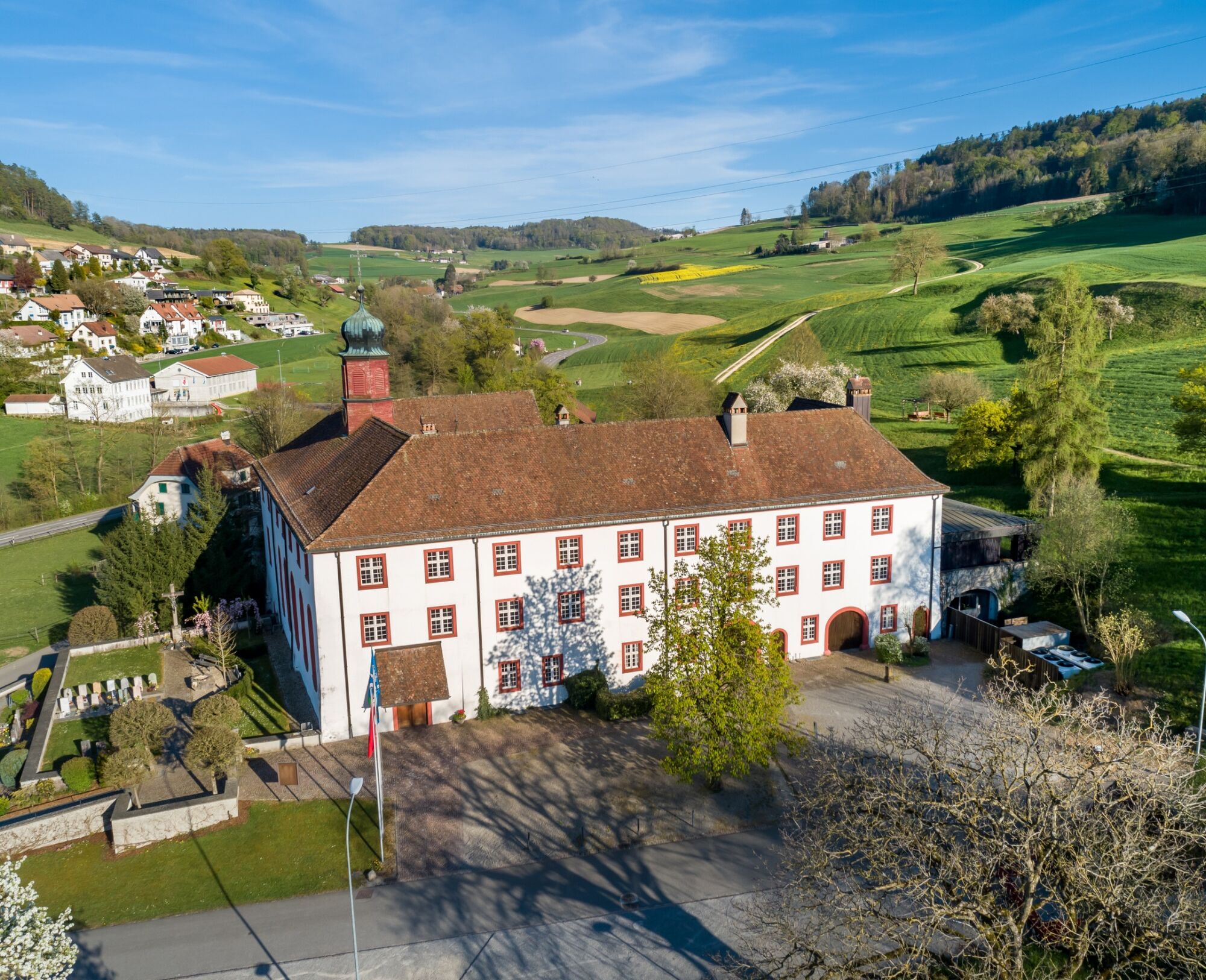
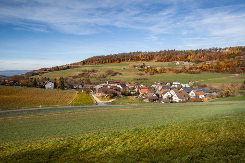
The route starts in the picturesque town of Bad Zurzach and leads to the Hörndli and Schachen viewpoints. A little further on, you can enjoy the view over the Musital quarry before heading to the villages of Baldingen and Böbikon. After climbing the hill with the "Mühlebach" farm, it goes downhill to Wislikofen, where you can see the Wislikofen provostry. Shortly after, you reach Mellikon, from where you can follow Cycle Route 2 back to Bad Zurzach.


The route starts in the picturesque town of Bad Zurzach and leads to the Hörndli and Schachen viewpoints. A little further on, you can enjoy the view over the Musital quarry before heading to the villages of Baldingen and Böbikon. After climbing the hill with the "Mühlebach" farm, it goes downhill to Wislikofen, where you can see the Wislikofen provostry. Shortly after, you reach Mellikon, from where you can follow Cycle Route 2 back to Bad Zurzach.
You can reach Bad Zurzach from Baden in 25 minutes, from Zurich or Kloten Airport in 35 minutes, from Schaffhausen in 40 minutes, from Basel in 60 minutes, from Lucerne in 70 minutes, and from Bern in 90 minutes.
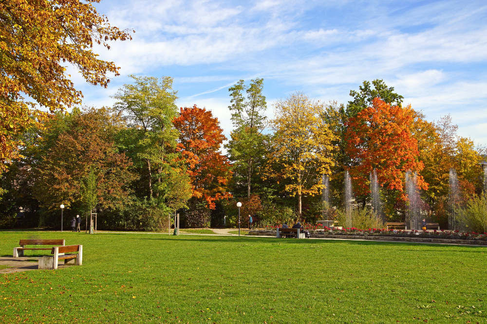
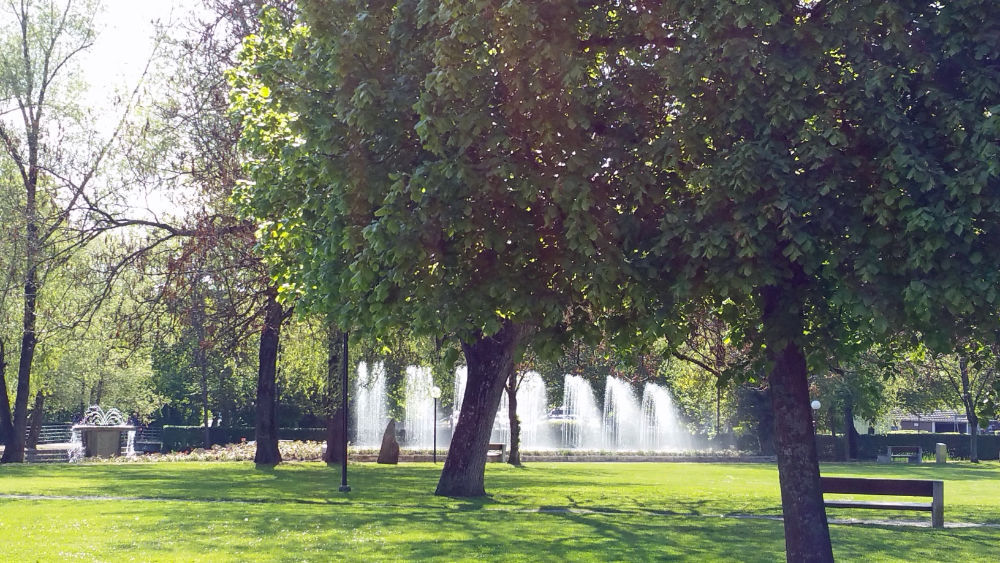
The tourism office in Bad Zurzach is reachable within 5-10 minutes on foot from the station. If you don't want to walk, the "Zurzi Bus" also takes you to us and back for free from the station (stop "Thermalbad"). You can find the schedule for the free bus here.
A paid parking lot (Thermalbad) is available opposite the tourism office.
3
With the view of the Musital quarry, a detour to the fire pit above the gravel pit is worthwhile. Enjoy freshly grilled food with a magnificent view!
Popularne wycieczki w okolicy
-
5,0
Lägern ridge hike
średniWędrówka 12,0 km -
3,8
Chänzeli -Tour: Eine Panorama - Stadtwanderung
światłoWędrówka 7,81 km -
4,5
Lägern Rundwanderung
średniWędrówka 13,0 km -
4,0
Gratwanderung über die Lägern
ciężkiWędrówka 14,8 km -
4,0
Cross-border Rhine riverside path
światłoWędrówka 7,81 km -
Around the Klingnau reservoir
światłoWędrówka 10,7 km -
4,0
"Falkenstein" circular route
światłoWędrówka 5,69 km -
5,0
Bad Zurzach - Hörndli - Rekingen - Bad Zurzach
średniWędrówka 9 km -
5,0
Limmat Cultural Route
światłoTrasa tematyczna 8,77 km -
Schinznach Bad - Brugg, Schweiz
światłoWędrówka 10,5 km
Wędrówki i tropienie


Nie przegap ofert i inspiracji na następne wakacje
Twój adres e-mail została dodana do listy mailingowej.