







Ascent to Mount Pea by alpine pastures FAI property
Poziom trudności: T2
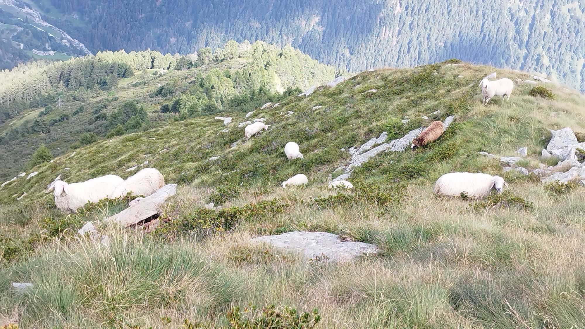
The climb to Monte Pisello (M 2,272) has important measures, it is a real ascent: about 1,750 m of elevation gain in just under 8 km. The trail is also interesting for runners and in fact is "home" to...
The climb to Monte Pisello (M 2,272) has important measures, it is a real ascent: about 1,750 m of elevation gain in just under 8 km. The trail is also interesting for runners and in fact is "home" to a race, the K2 Valtellina Extreme Vertical Race.
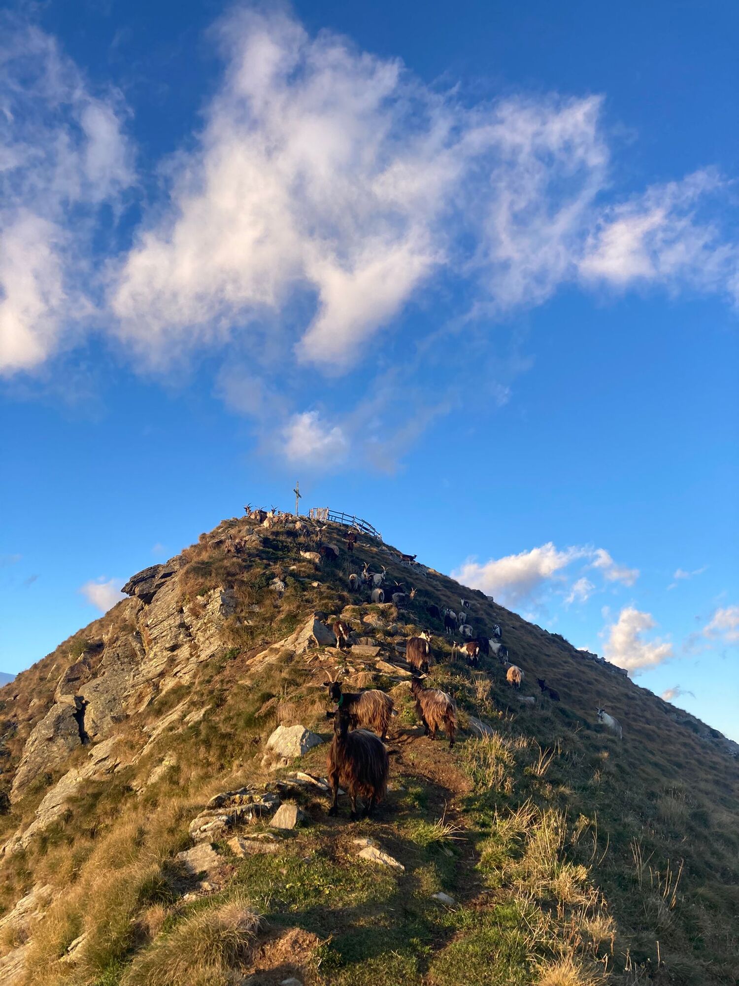
The route-always well marked-begins near the small church of San Gregorio, Tempietto degli Alpini. The Friars' Bridge crosses the Roncaiola stream, then the second detour to the right (cemented road) is to be followed. The first crossing points are Prato dell'Acqua (M 617), San Giorgio (M 770), with its 14th-century church and bell tower more than 30 meters high, and Crocette (M 822). The trail climbs into the groove of the Valleno (or Valena) Valley and-after crossing a dirt road-is marked with the number 162. Glades with huts, such as that of Bgianc (M 1,296), are the gateway to the pastures and forests Beni del FAI (Fondo Ambiente Italiano). The two hundred hectares includeAlpe Madrera (M 1,435) andAlpe Predoria (M 1,928), a heritage of nature and traditions in the process of restoration. Trail number 101v crosses the Pedroria basin along a hump, then climbs the steep gully in a zig-zag pattern, always on its left side, to an elevation of about 2,100 m; from here a short traverse to the east to reach Culìi Pass (M 2,221). The final section is on an easy grassy ridge. The fenced summit of Monte Pisello-with a cross and altar-is at 2,272 m (7,760 ft). There is a 360-degree panorama over Orobie and Retiche, with the Adamello Group in the distance.
The return follows the same route.


San Gregorio Church - San Giorgio Church - Alpe Madrera - Alpe Pedroria - Culìi Pass - Monte Pisello
Tak
Talamona: from Viale Stelvio (ex-SS38) follow Via alla Provinciale, then Via Roncaiola and Via San Giorgio
T2
Uzyskaj wgląd
Zawsze na żywo z ponad 9 500 kamer internetowych. bergfex Jako użytkownik Pro, możesz teraz zobaczyć odpowiednie kamery internetowe dla wielu wycieczek w aplikacji wycieczki od. Pozwala to na bezpośredni podgląd aktualnych warunków.
Popularne wycieczki w okolicy
-
5,0
Dazio's Colmen - A Mediterranean oasis in the midst of the Alps
światłoWędrówka 5,62 km -
5,0
Fusine-Dordona Pass (MTB-EMTB)
światłoMountainbike 20,4 km -
5,0
Via Priula da Mezzoldo a Ca’ San Marco
światłoWędrówka 9,65 km -
5,0
Costiera dei Cech among forests, vineyards and villages
średniWędrówka 5,43 km -
5,0
Lago di Ponteranica inferiore
średniWędrówka 6,52 km -
Valgerola Lakes Tour
ciężkiWędrówka 14,9 km -
Alpe Piazza Rifugio
światłoWędrówka 3,06 km -
5,0
Buglio al Monte Alpe Scermendone
światłoMountainbike 27,8 km -
Alpe Piazza and Monte Lago in the heart of the Valtellina Orobie
ciężkiWędrówka 6,11 km -
Corte Monte Olano refuge with joelette
Wędrówka 4,87 km
Wędrówki i tropienie


Nie przegap ofert i inspiracji na następne wakacje
Twój adres e-mail została dodana do listy mailingowej.





