






Madesimo Lake Emet
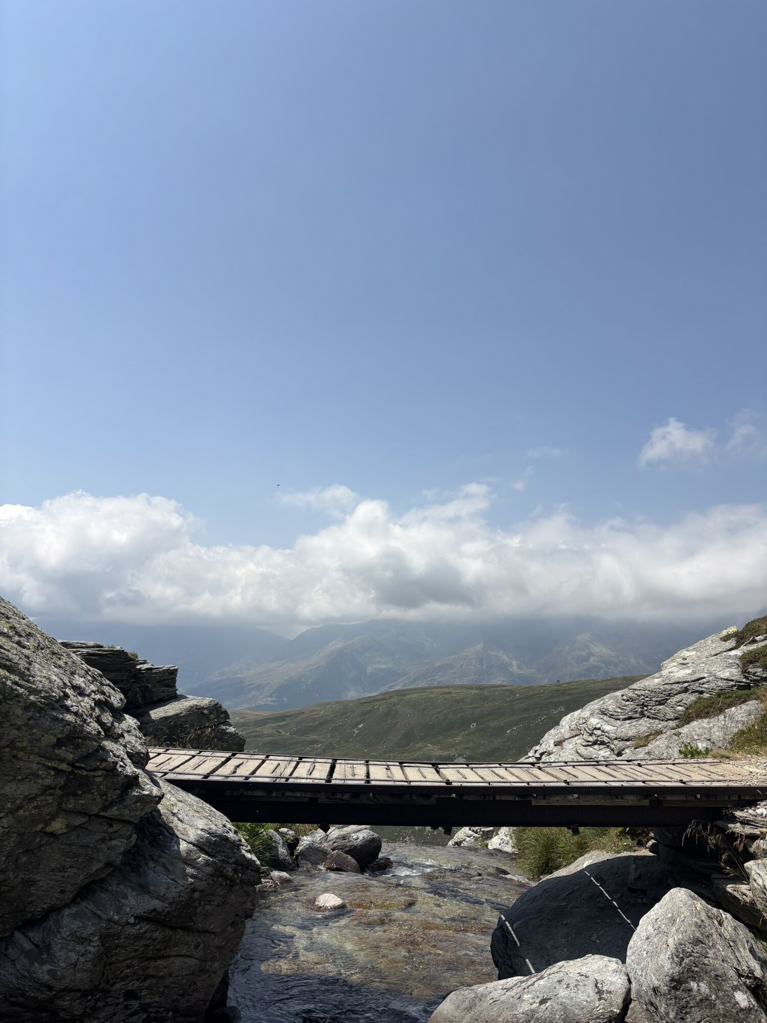
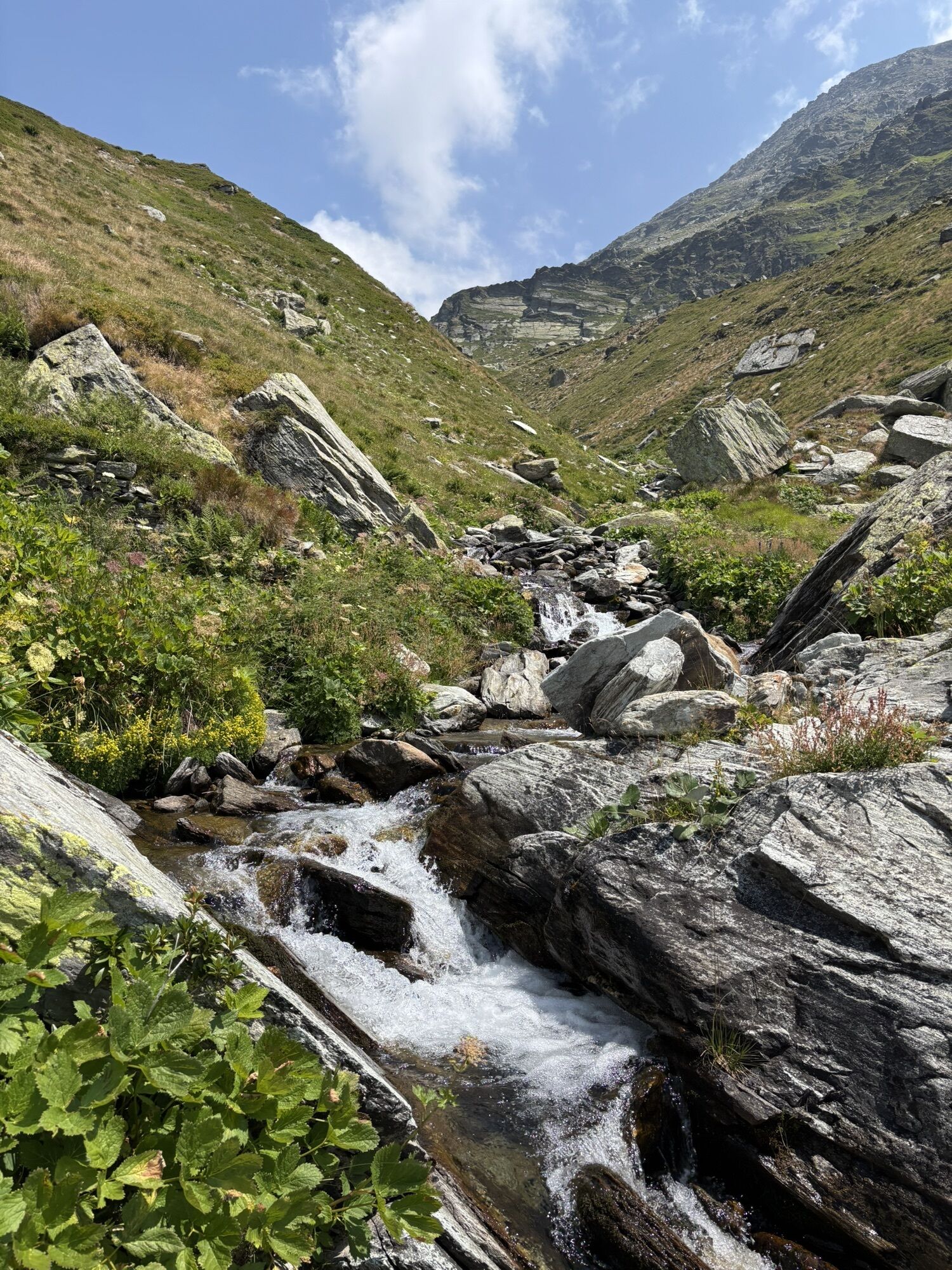
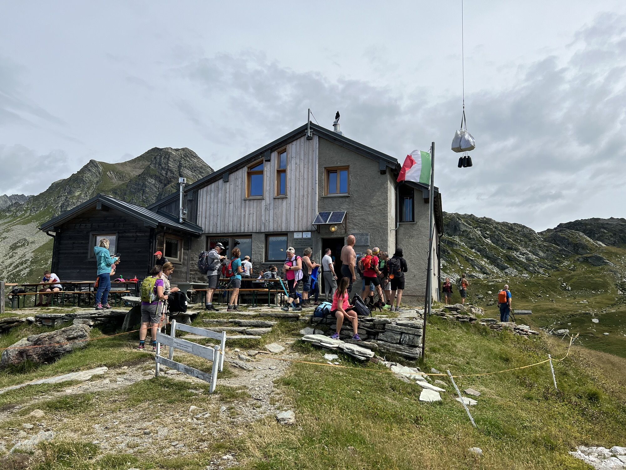
The route starts from the Macolini hamlet (1656 m), north of Madesimo, crosses the stream and continues along the plateau formed by the Scalcoggia. On the right, the trail climbs in switchbacks, then ascends...
The route starts from the Macolini hamlet (1656 m), north of Madesimo, crosses the stream and continues along the plateau formed by the Scalcoggia. On the right, the trail climbs in switchbacks, then ascends a ridge up to Rifugio Bertacchi near Lake Emet, at 2192 m altitude. Skirting the lake on the left, it continues to Niemet Pass at 2294 m, where the border marker between Italy and Switzerland is located.
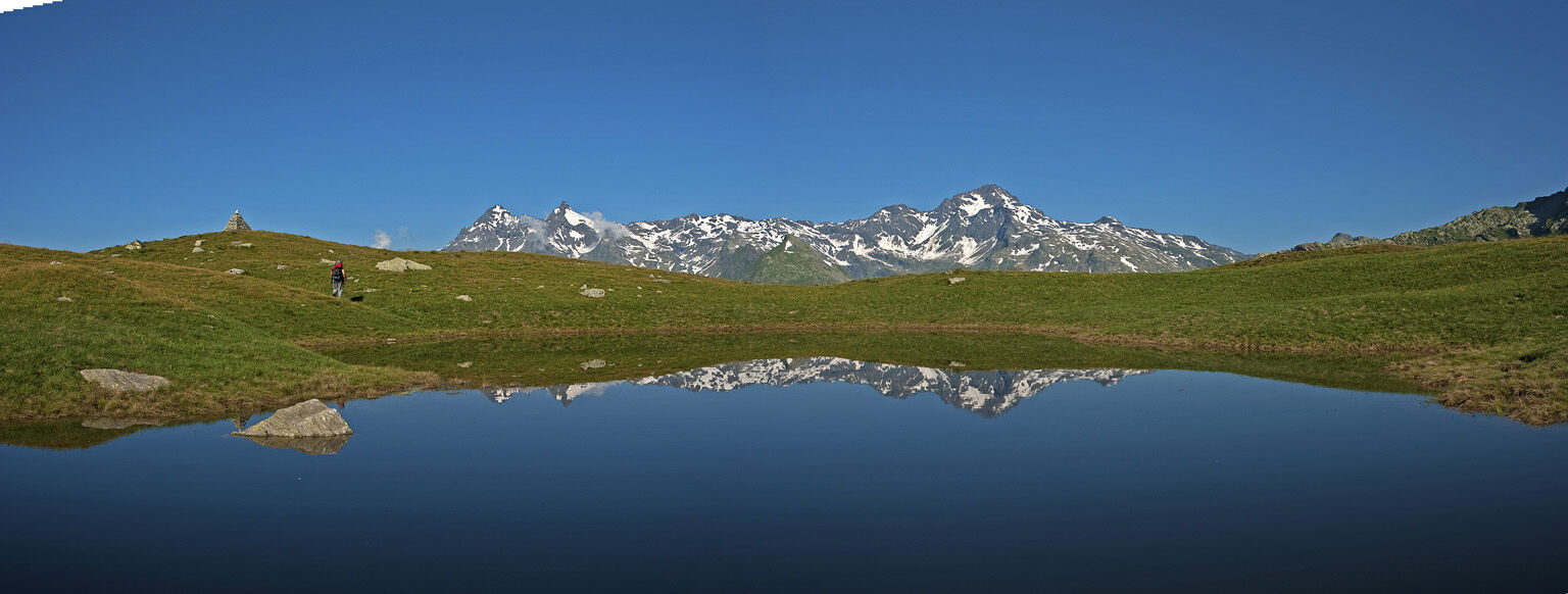
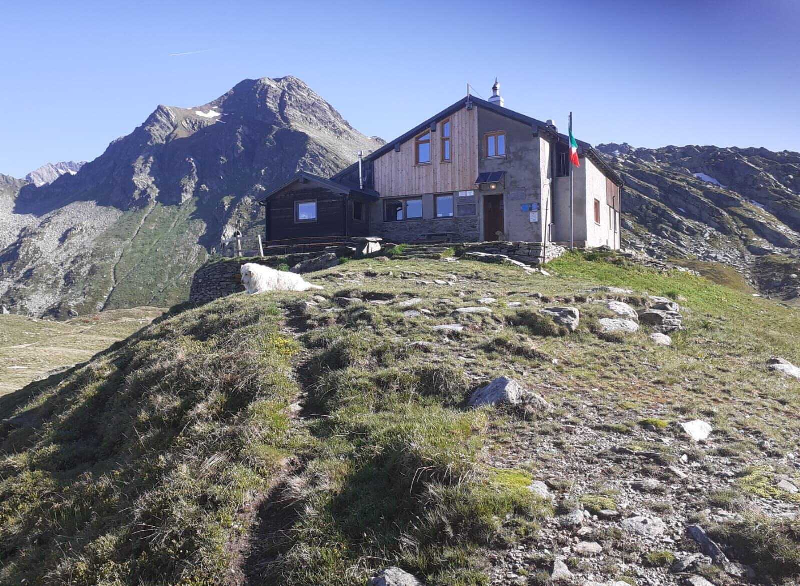

Macolini - Alpe Emet - Rifugio Giovanni Bertacchi
Tak
Tak
Hiking boots are recommended
The trail is suitable for everyone, it climbs steeply first through the woods and then on the pasture, potable water only at the top, and streams along the route
Madesimo is reachable by car from both Italy and Switzerland:
from Milan, following State Road 36 of the Spluga towards Lecco-Chiavenna
from early May until about the end of November from the Spluga Pass
Madesimo is reachable by bus with the STPS line from Chiavenna and Splügen visit www.stps.it for updated schedules, from the stop to the trailhead about 20 minutes.
Free parking at Macolini Madesimo, or on Via Mater.
Rifugio Bertacchi at Lake Emet is approximately open from June 15 to September 15.
From the natural balcony in front of Rifugio Bertacchi, the panorama extends over the entire Madesimo valley, the Andossi plateau, and the Spluga.
Uzyskaj wgląd
Zawsze na żywo z ponad 9 500 kamer internetowych. bergfex Jako użytkownik Pro, możesz teraz zobaczyć odpowiednie kamery internetowe dla wielu wycieczek w aplikacji wycieczki od. Pozwala to na bezpośredni podgląd aktualnych warunków.
Popularne wycieczki w okolicy
-
5,0
Montespluga - Splügen Pass - Bergseeli - Lago Azzuro - Bocchetta della Zacopel - Montespluga
ciężkiWędrówka 7,15 km -
Montespluga - Lago di Montespluga - Cardinello Schlucht - Isola
średniWędrówka 9,38 km -
5,0
Da Montespluga al Lago d’Emet
średniWędrówka 7,94 km -
4,5
Schwert - Reformierte Kirche Sankt Salvator - Reformierte Kirche Splügen - Splügen
średniWędrówka 21,1 km -
Rifugio Chiavenna
światłoWędrówka 4,20 km -
4,0
Altes Zollhaus - Rustico - Chiesa parrocchiale dei Santi Martino e Giorgio - Isola
średniWycieczki górskie 18,0 km -
Suretta
światłoWędrówka 11,3 km -
5,0
Spluga Pass from Chiavenna
ciężkiDroga rowerowa 30,4 km -
Madesimo Andossi with joelette
Wędrówka 5,27 km -
5,0
San Bernardino - Chiesa Rotonda - San Remo - Brésc
średniWędrówka 8,66 km
Wędrówki i tropienie


Nie przegap ofert i inspiracji na następne wakacje
Twój adres e-mail została dodana do listy mailingowej.





