


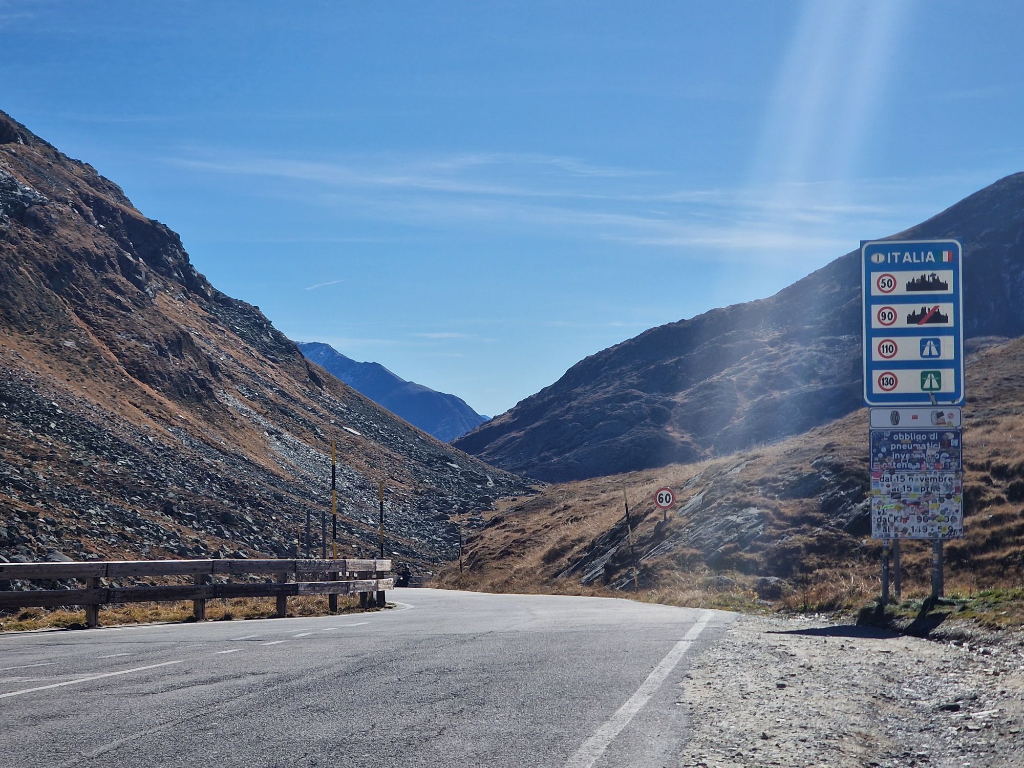
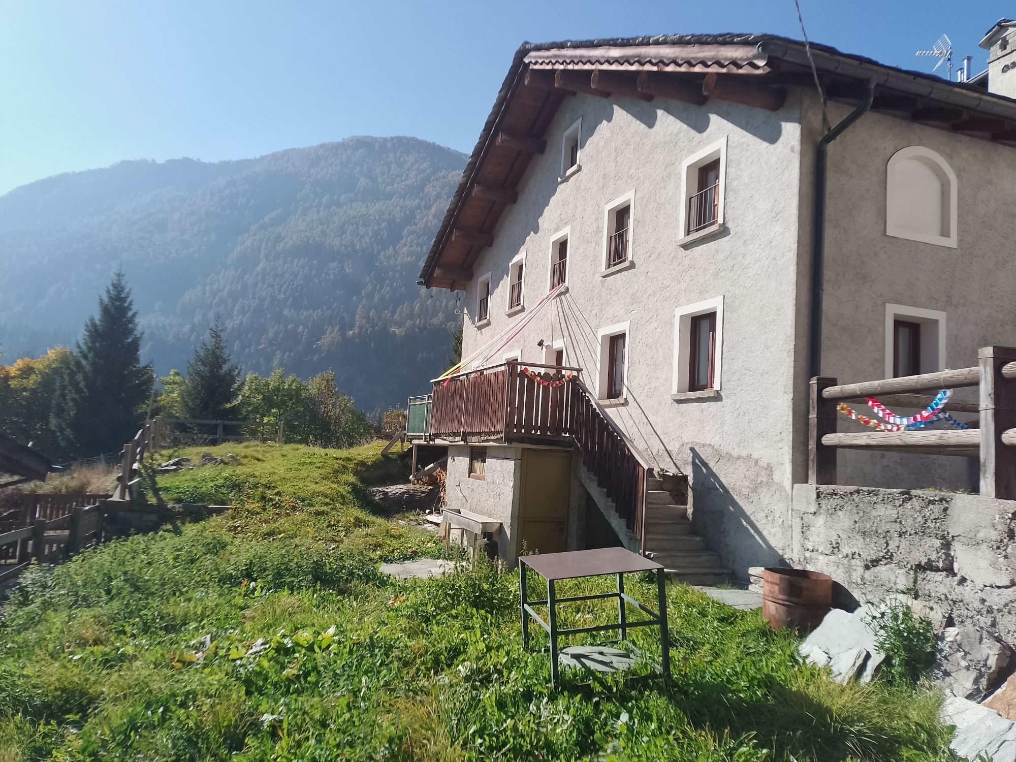
Spluga Pass from Chiavenna

A walk through the streets of downtown Chiavenna to admire historic buildings, museums and stores is definitely a good idea before getting on the bike.
Leaving the heart of the town, you begin to climb...
A walk through the streets of downtown Chiavenna to admire historic buildings, museums and stores is definitely a good idea before getting on the bike.
Leaving the heart of the town, you begin to climb in altitude, facing a first sloping section at the height of the nucleus of Bette.
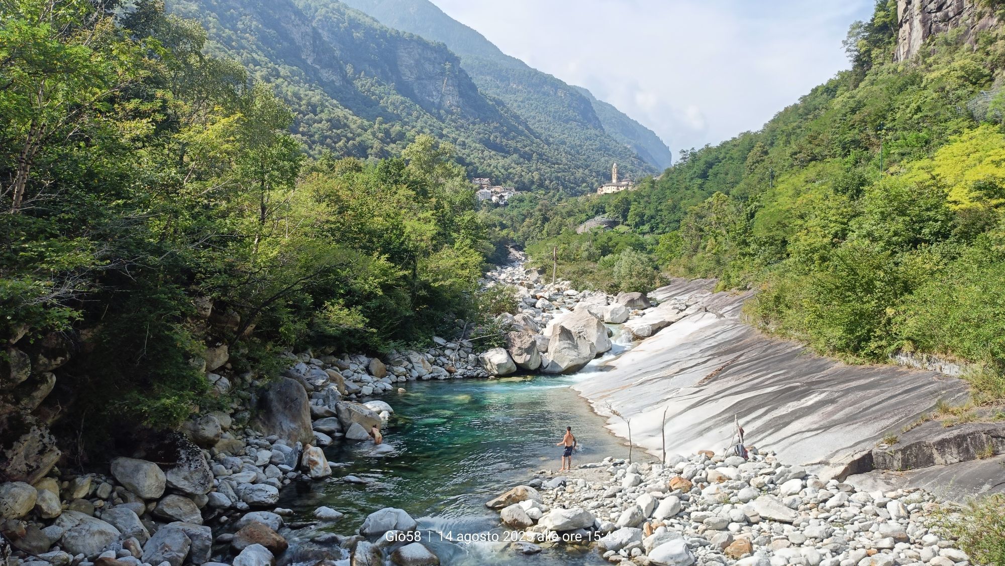
It continues uphill alongside the Liro Torrent, crossing the villages of San Giacomo Filippo, Gallivaggio with the shrine dedicated to the apparition of October 10, 1942, Lirone and Cimaganda.
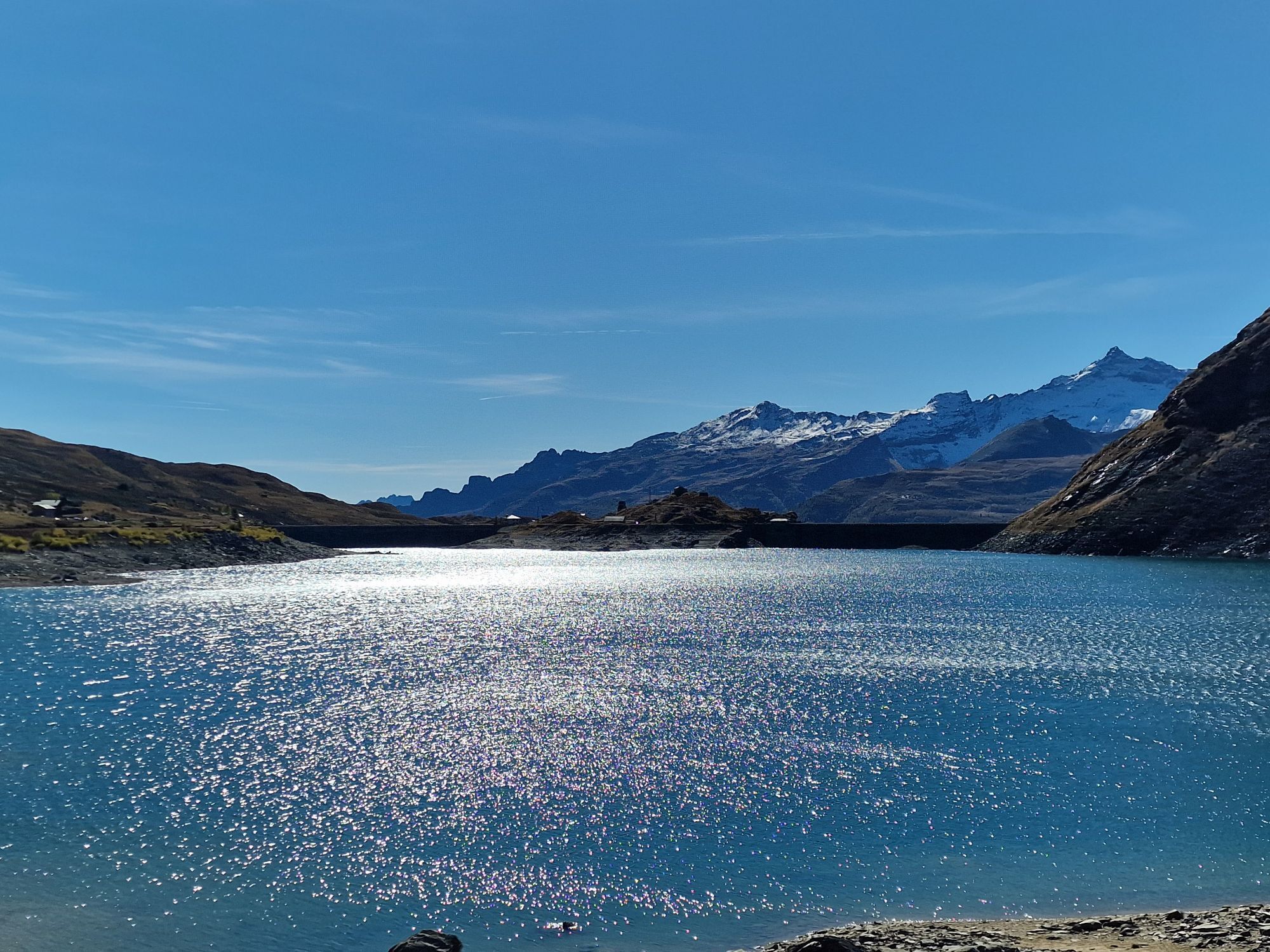
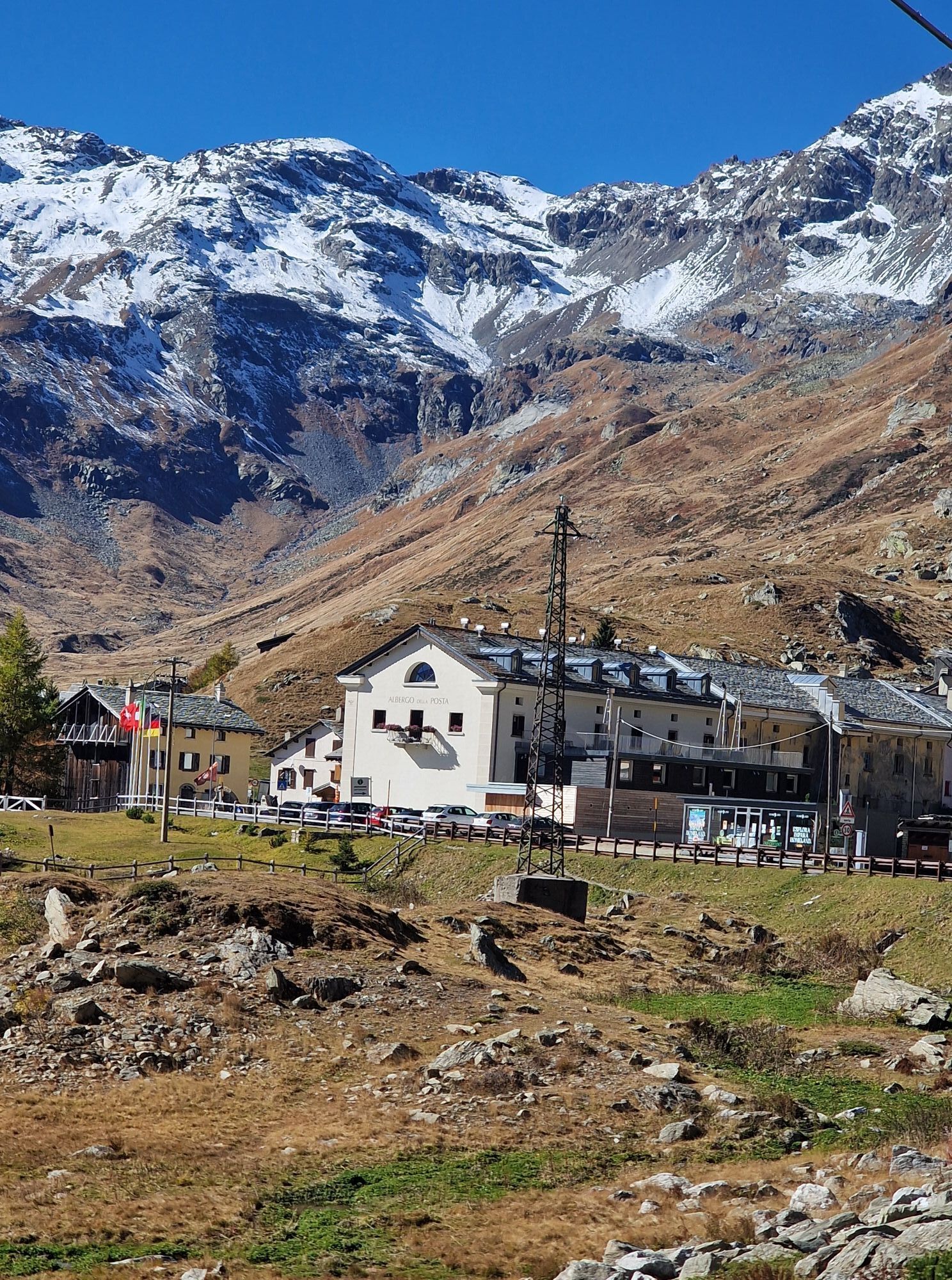
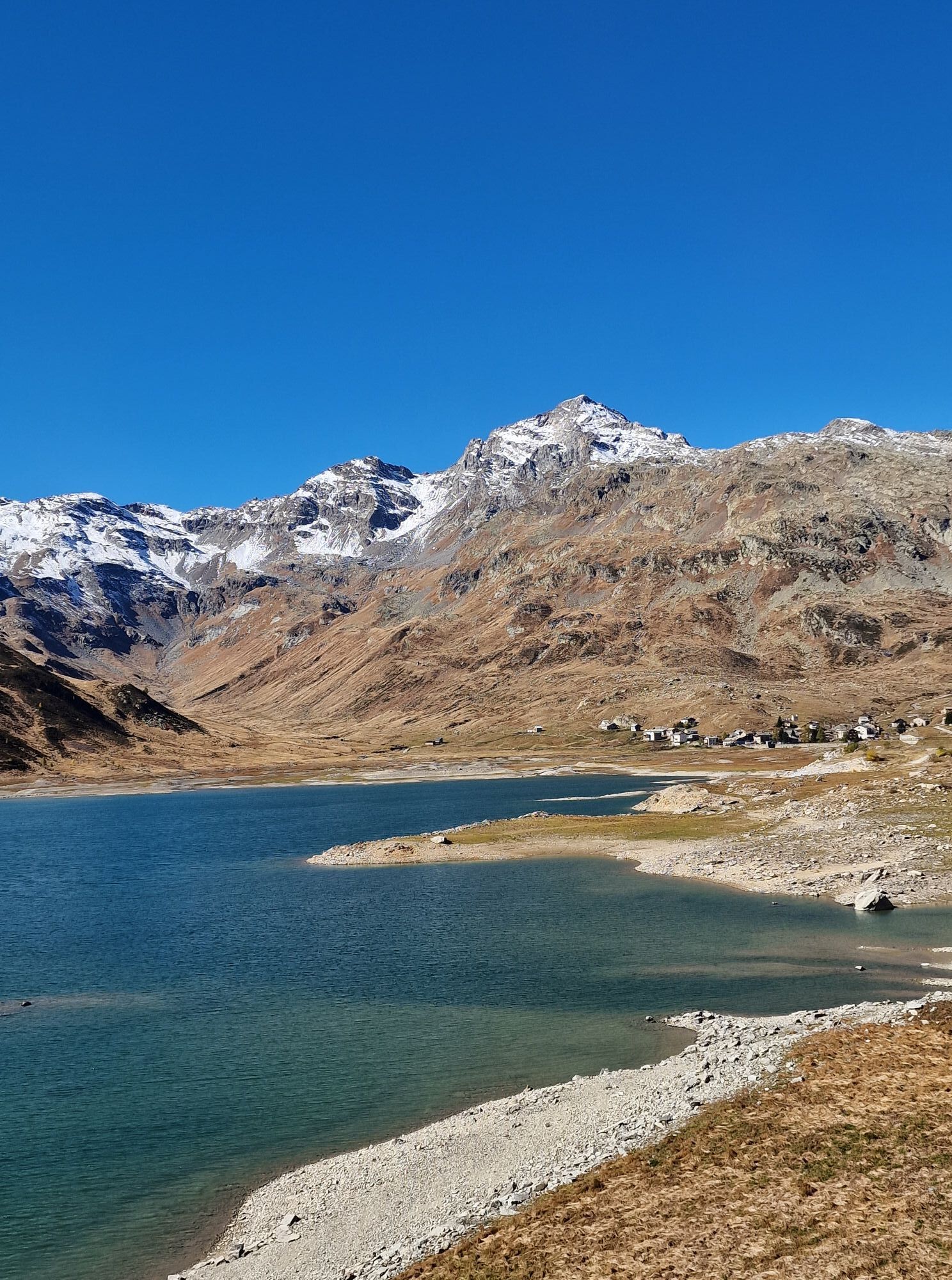
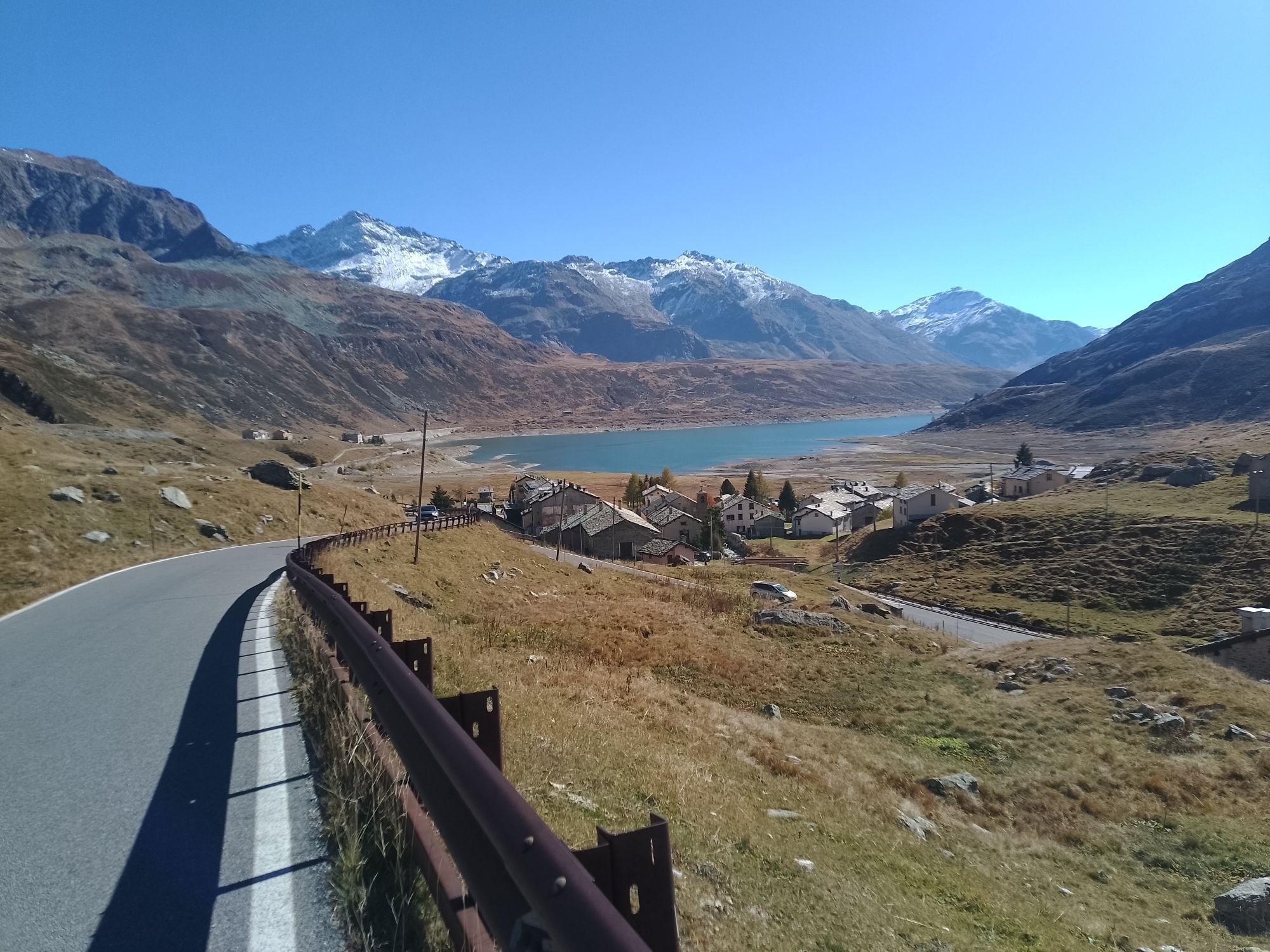
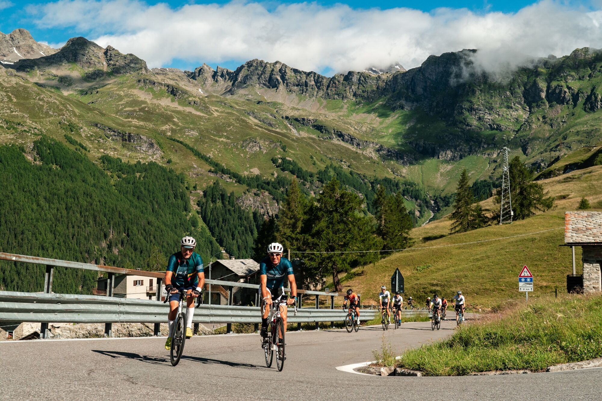
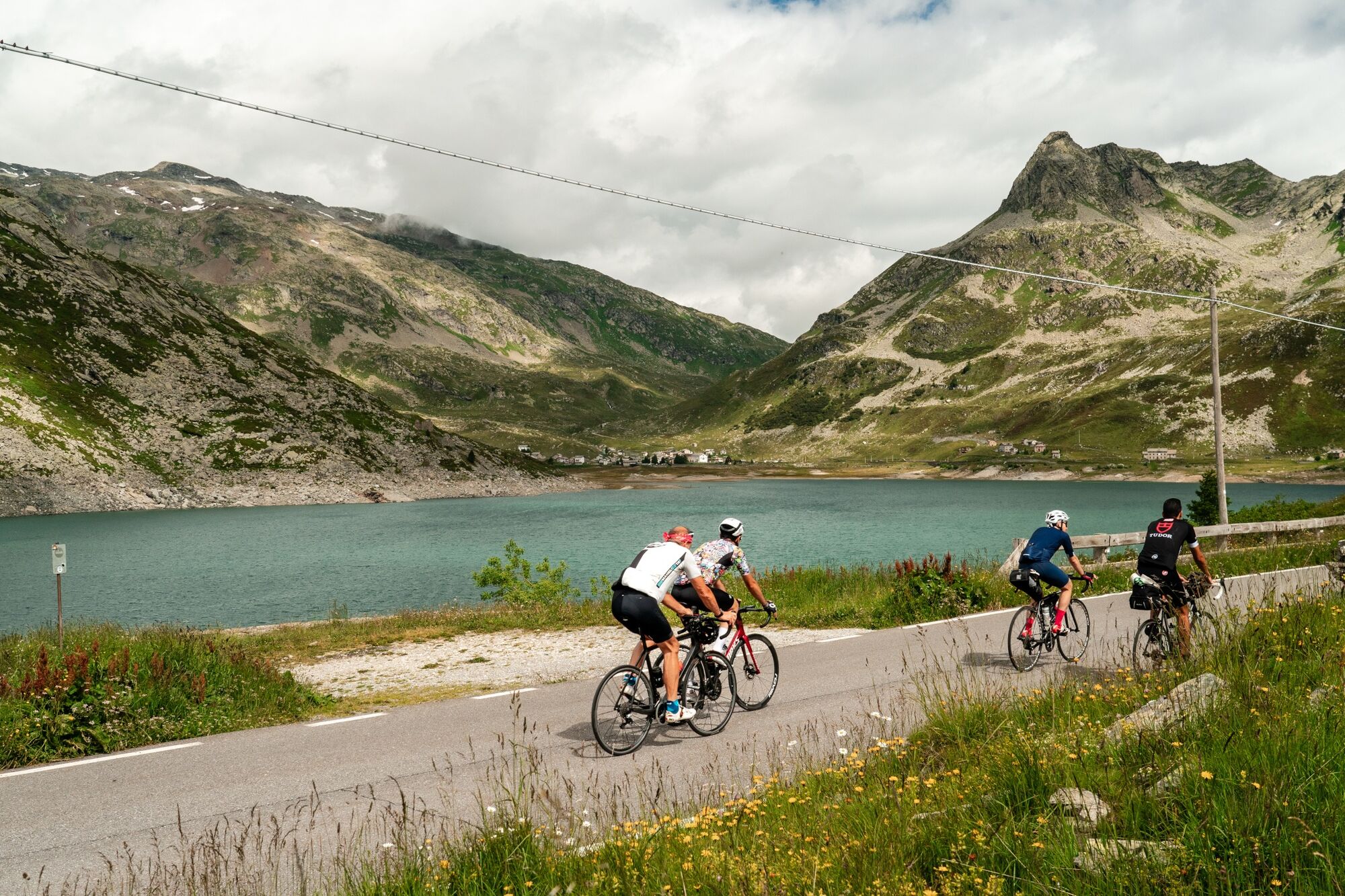
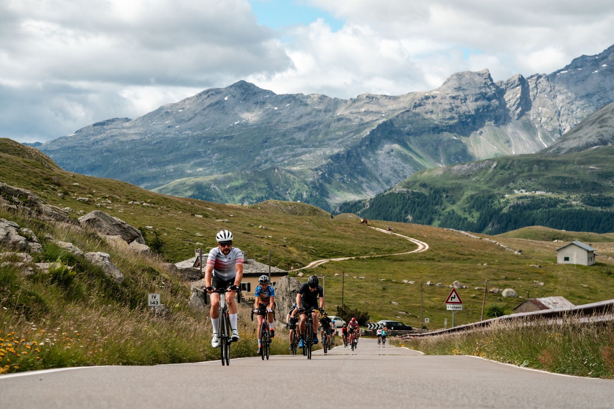
When you reach the Campodolcino plain, you will face a flat section before riding the historic ten hairpin bends leading to Pianazzo. Along the way you will have the opportunity to admire the waterfall with a 180-meter drop. Shortly after, you meet the junction that on the right leads to the renowned tourist resort of Madesimo, while on the left begin the hairpin bends and tunnels of the Andossi from where you can enjoy a beautiful view of the entire upper Vallespluga. You then reach the artificial lake of Montespluga, the village of the same name, and the last steep hairpin bends that climb up to the Spluga Pass.
For many centuries the Spluga Pass saw the incessant transit, all year round, of wayfarers, beasts of burden, wagons and carriages. Shortly after the construction of the Spluga road, in 1823, for safety purposes during the winter period, the important avalanche protection tunnel south of the tollhouse was built. It now represents one of the last vestiges of the massive roadwork effort undertaken in the 19th century to keep ahead of the dangers of winter.
Finds from the Bronze and Iron Ages indicate that the Spluga Pass was traversed as early as prehistoric times. The name "spluga" is quite common in Valchiavenna and stands for mountain locations; it comes from "spelu(n)ca," meaning spelonca, cave.

Popularne wycieczki w okolicy
-
5,0
Acqua Fraggia waterfall scenic loop - Savogno
światłoWędrówka 3,44 km -
5,0
Montespluga - Splügen Pass - Bergseeli - Lago Azzuro - Bocchetta della Zacopel - Montespluga
ciężkiWędrówka 7,15 km -
Montespluga - Lago di Montespluga - Cardinello Schlucht - Isola
średniWędrówka 9,38 km -
5,0
Da Montespluga al Lago d’Emet
średniWędrówka 7,94 km -
5,0
Chiavenna - Cranna - Borgonuovo di Piuro - Chiavenna Ring
średniWędrówka 8,93 km -
Donadivo - Cermine - Alpe Cima hike
średniWędrówka 4,86 km -
Ring in the nature reserve of the Giants' potholes
światłoWędrówka 3,77 km -
Hiking to Belvedere di Chiavenna - Uschione
średniWędrówka 2,06 km -
From Chiavenna to Acquafraggia Waterfalls with joëlette
średniWędrówka 3,53 km -
Madesimo Andossi with joelette
Wędrówka 5,27 km
Wędrówki i tropienie


Nie przegap ofert i inspiracji na następne wakacje
Twój adres e-mail została dodana do listy mailingowej.