






Monte Bestone via Butterfly Trail
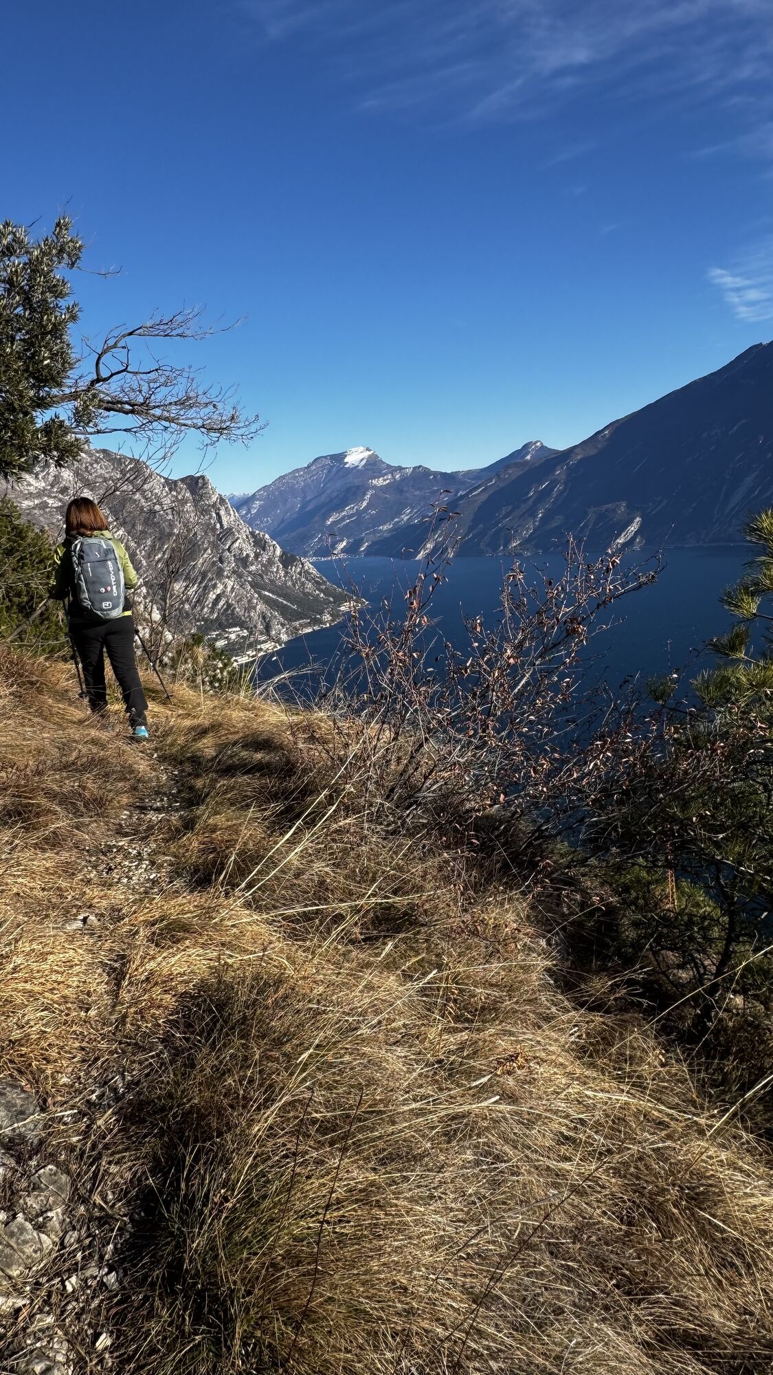
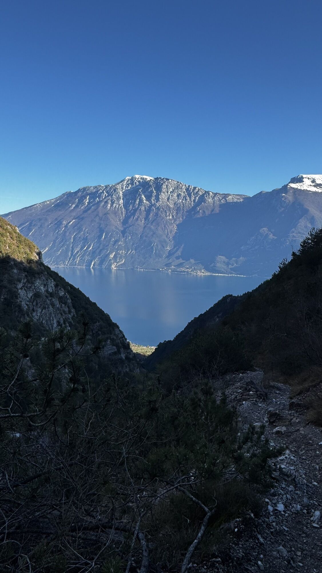
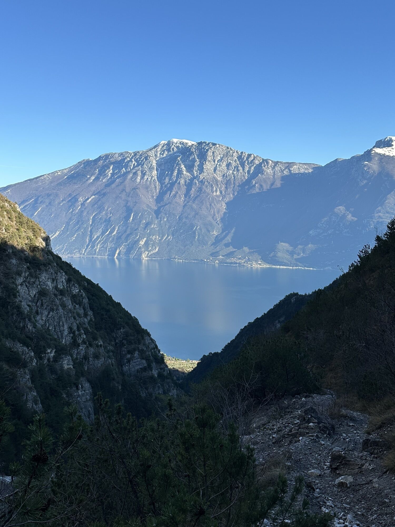
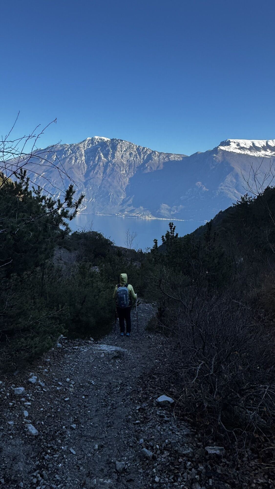
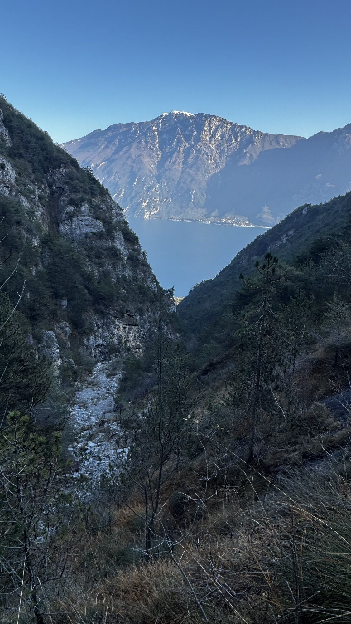
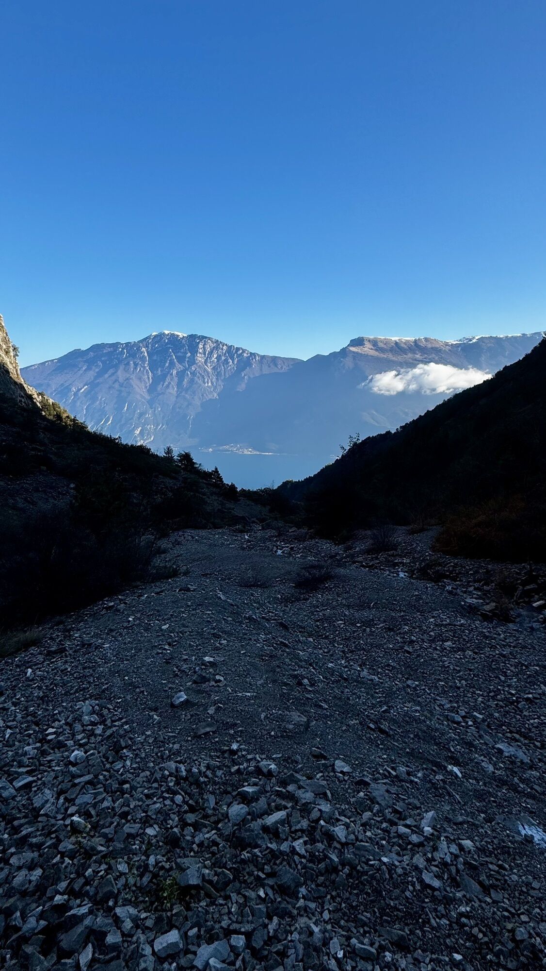
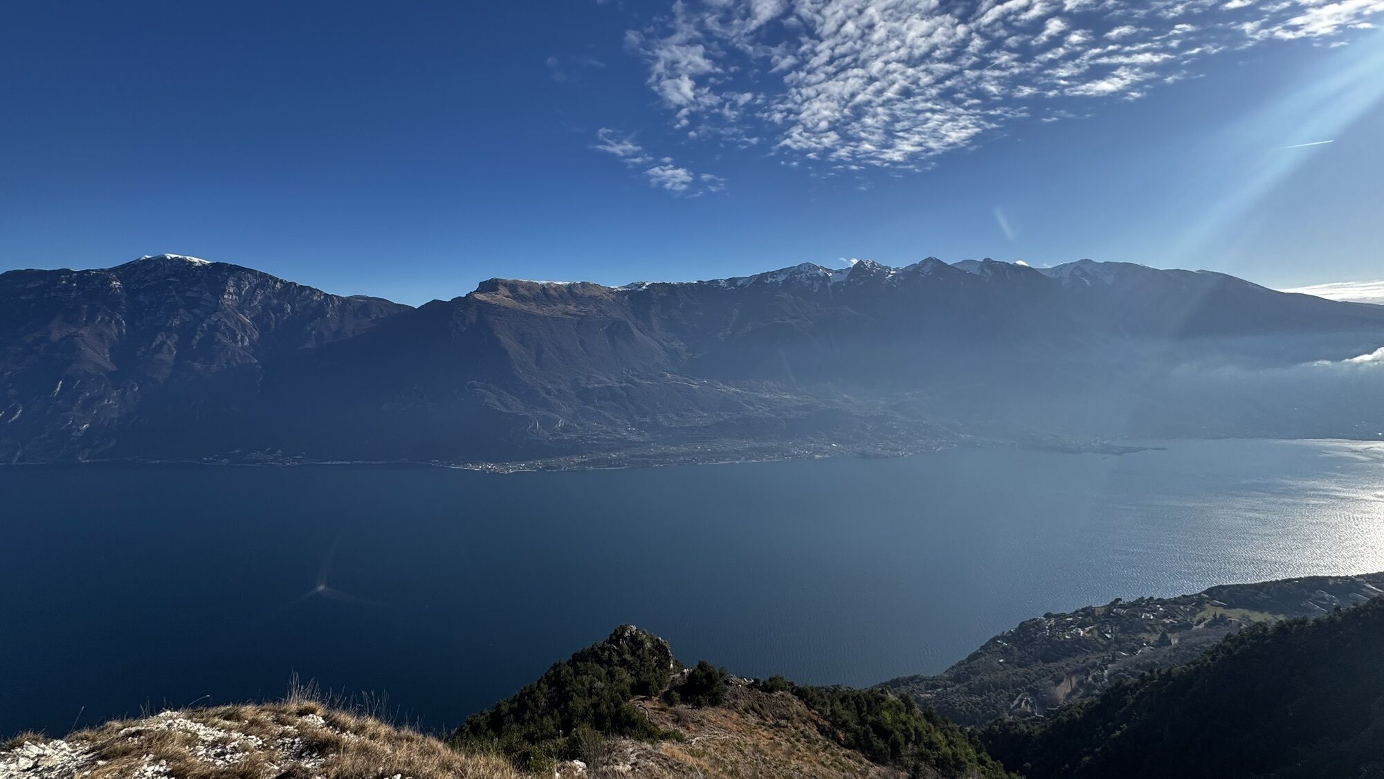
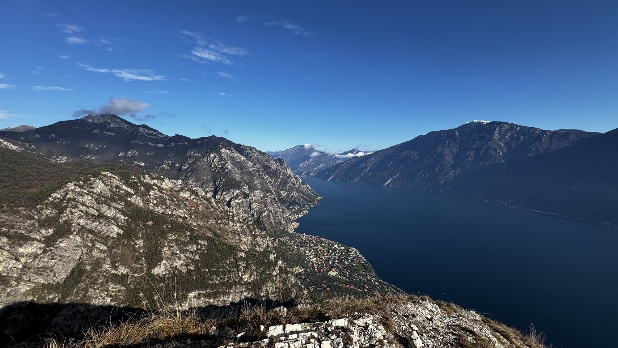
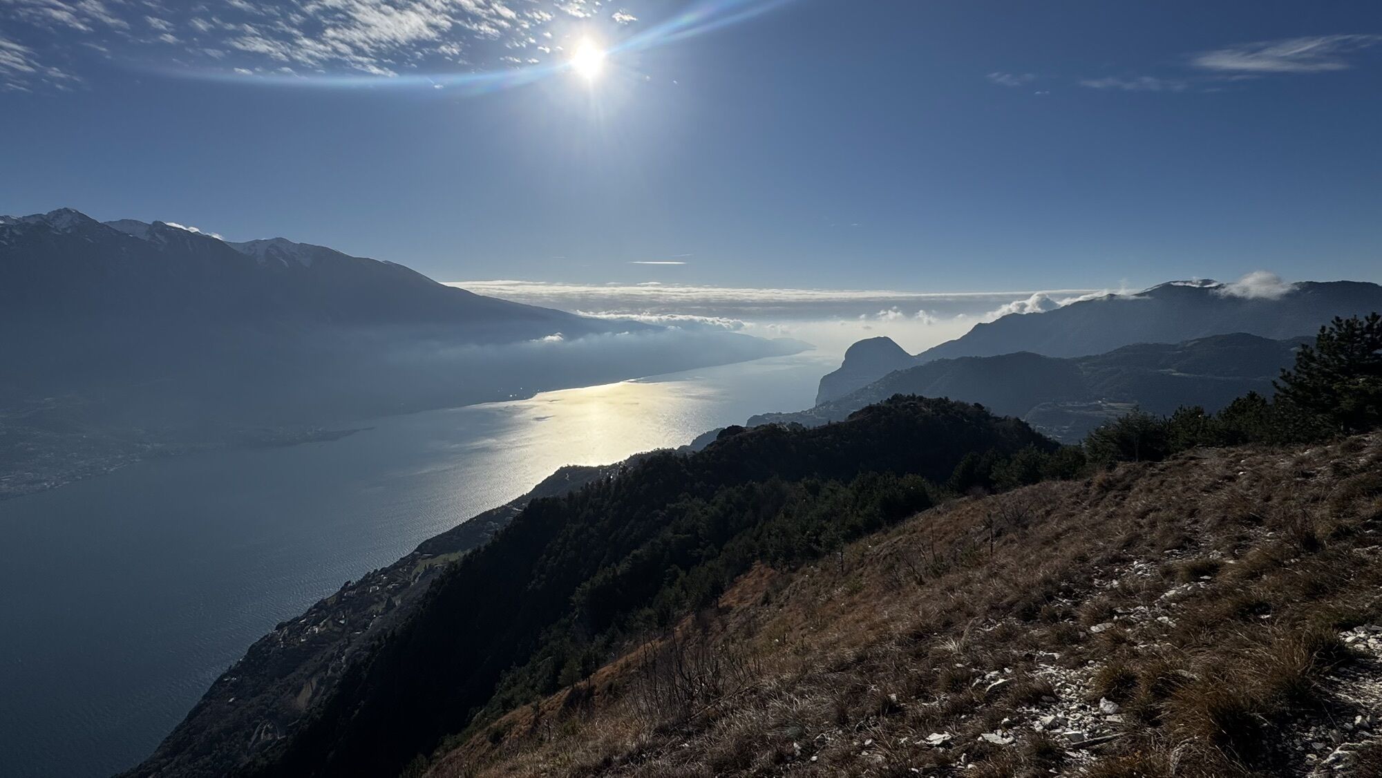
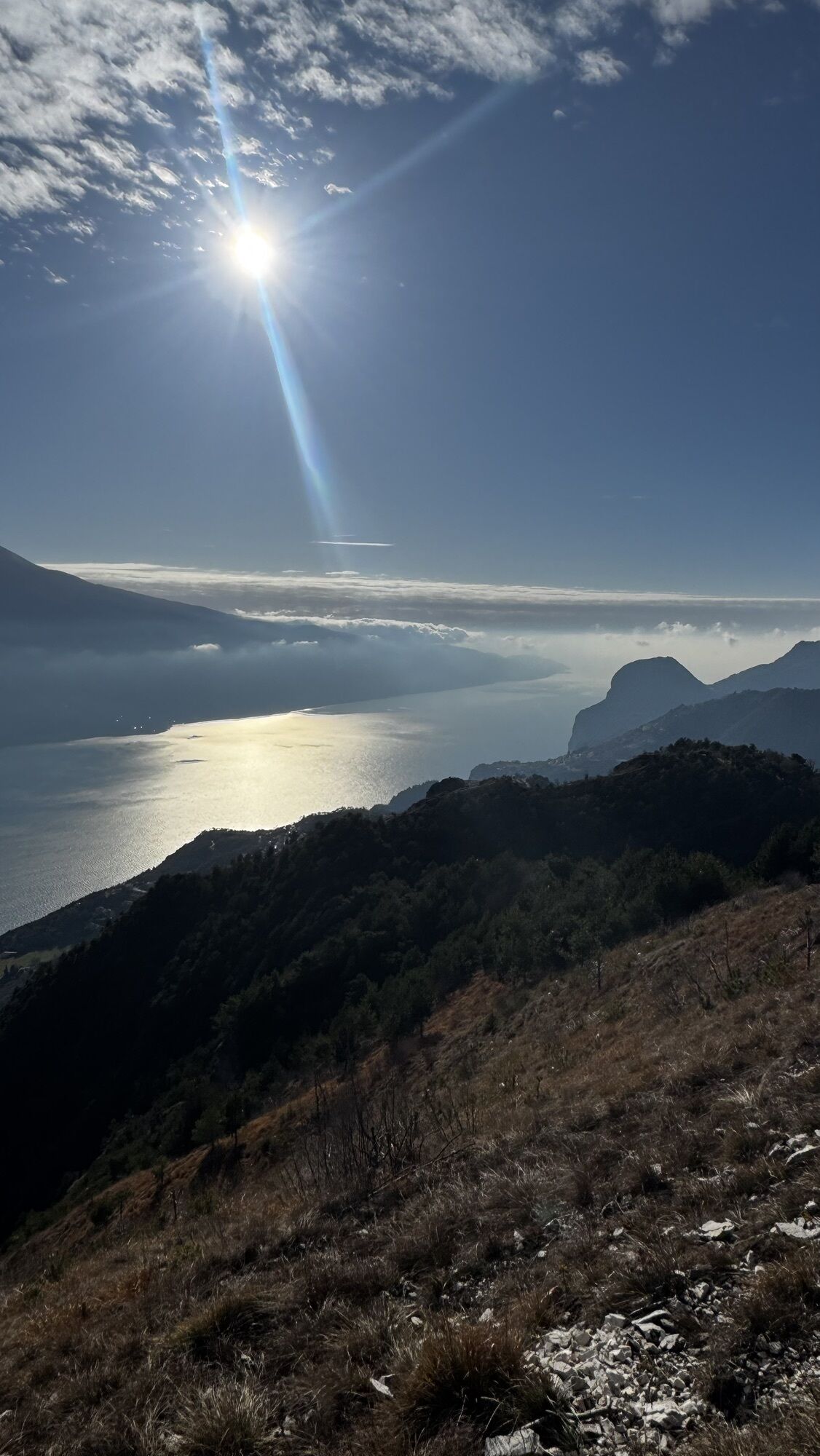
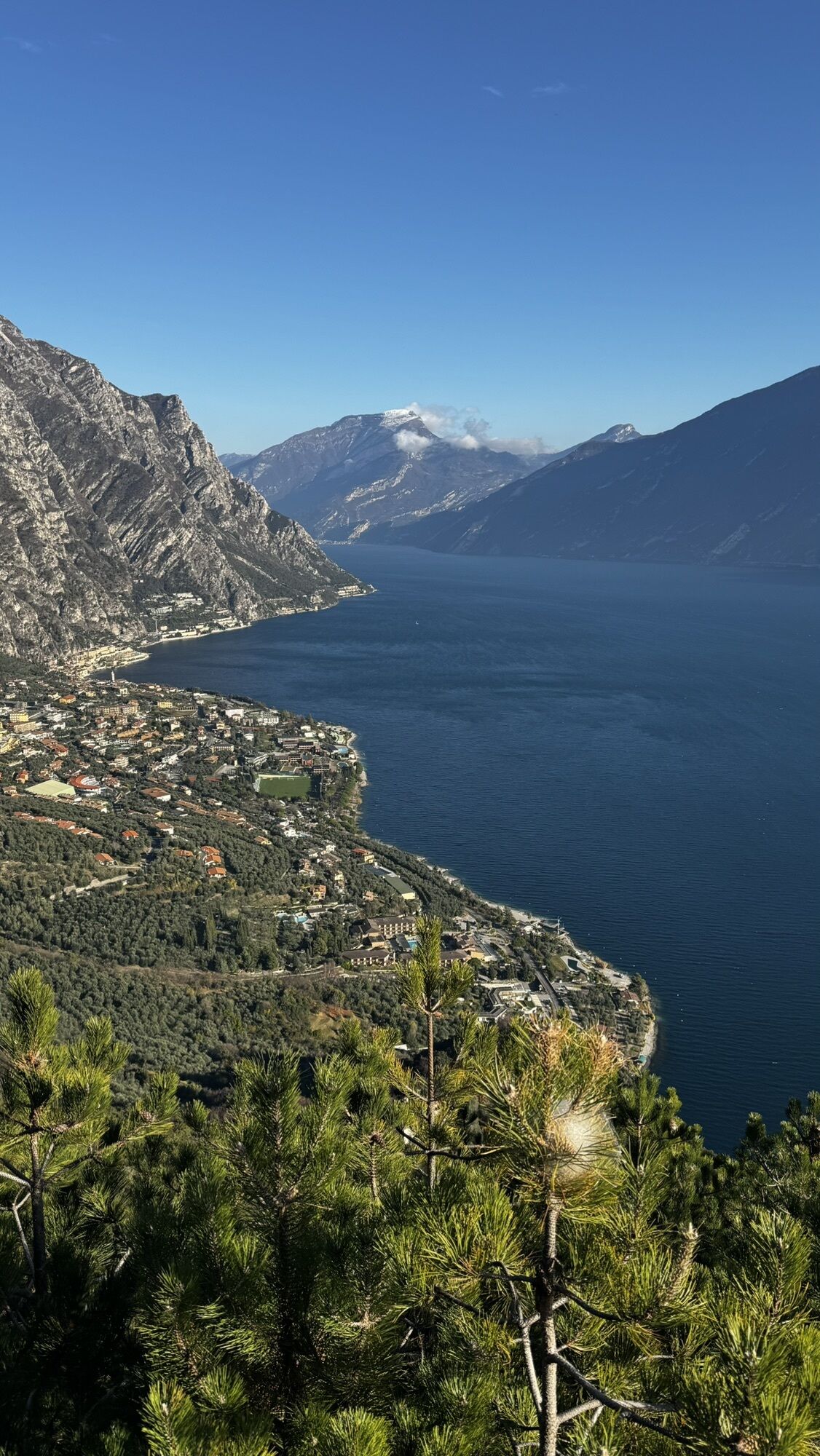
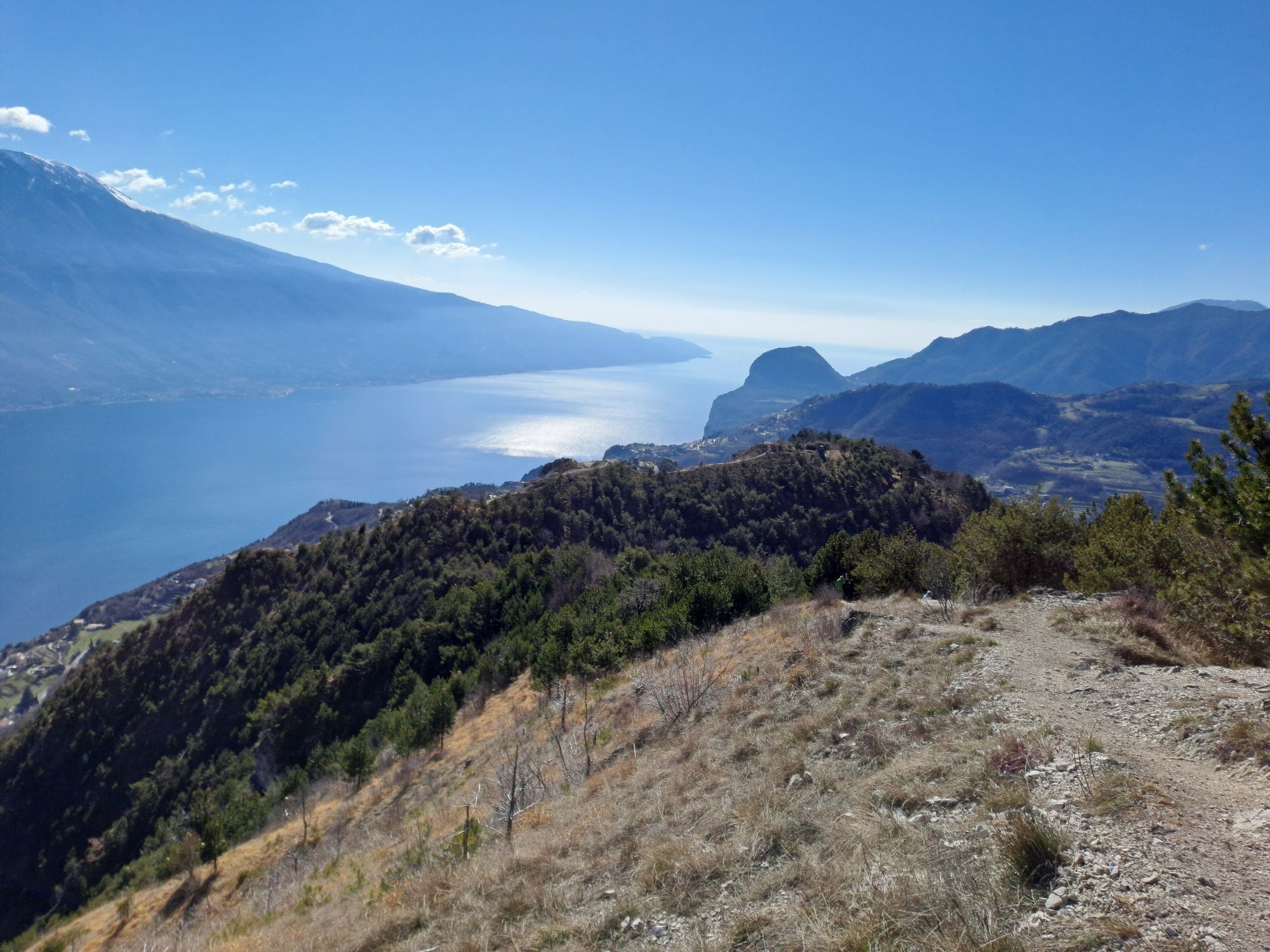
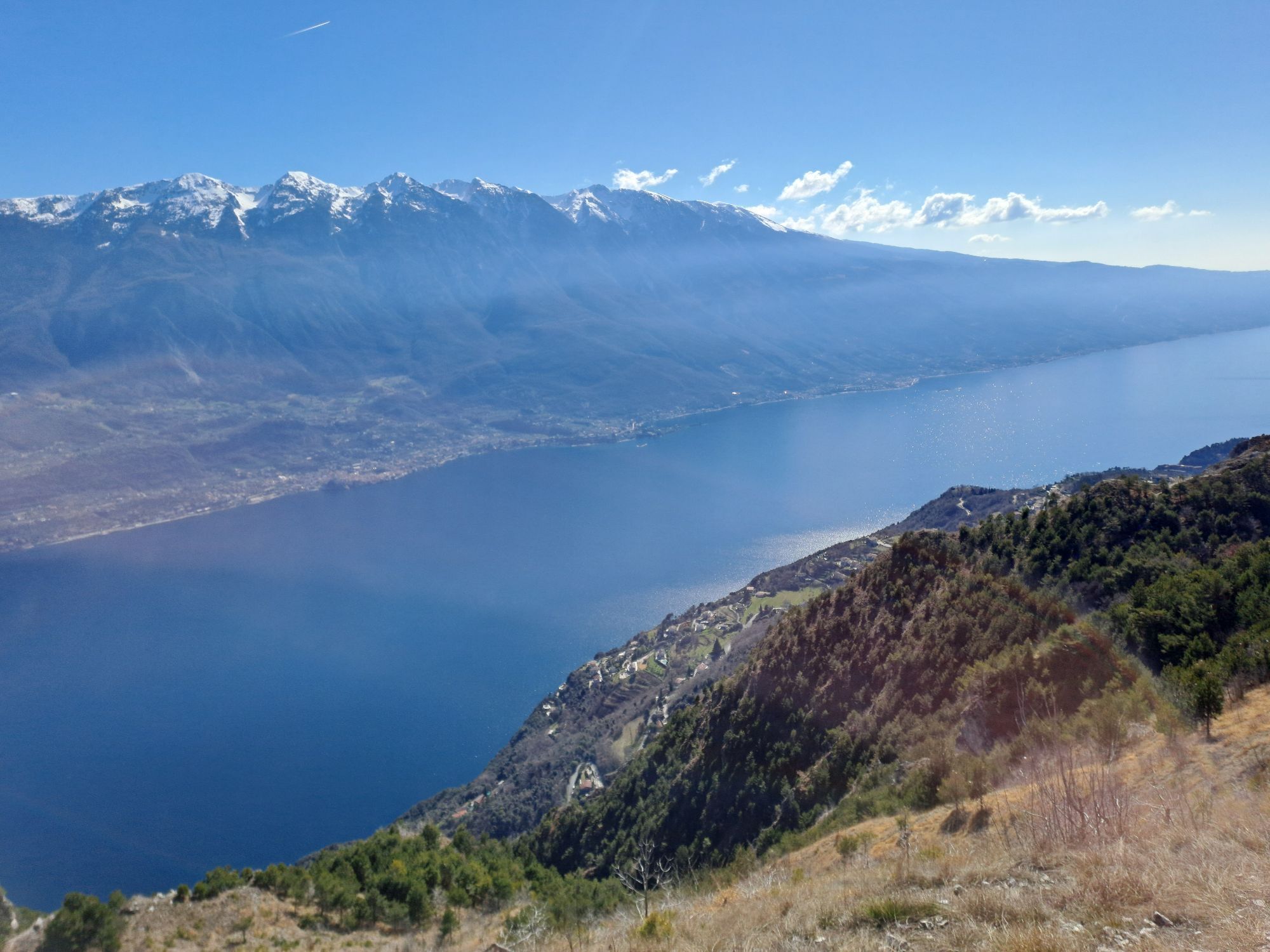
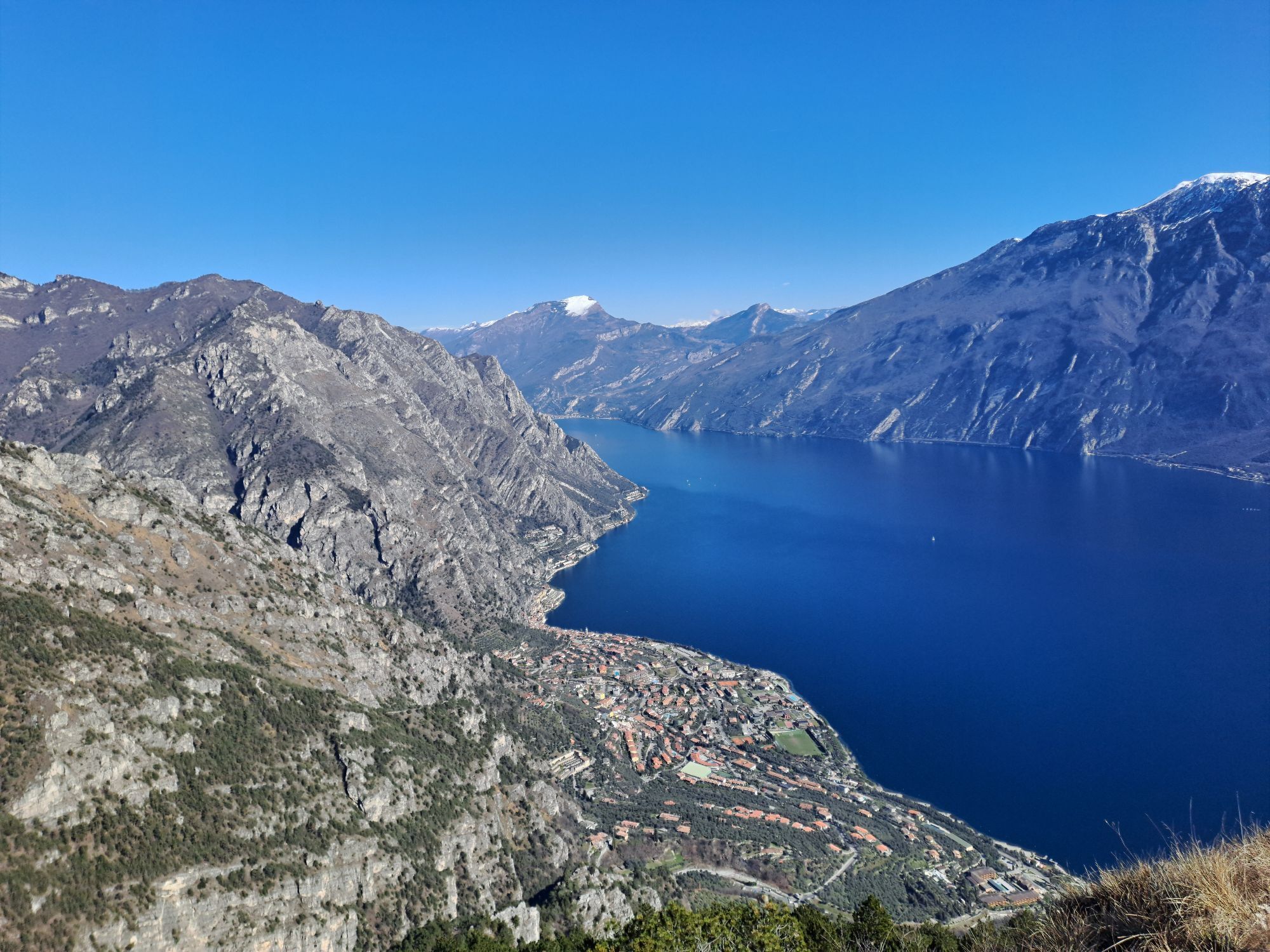
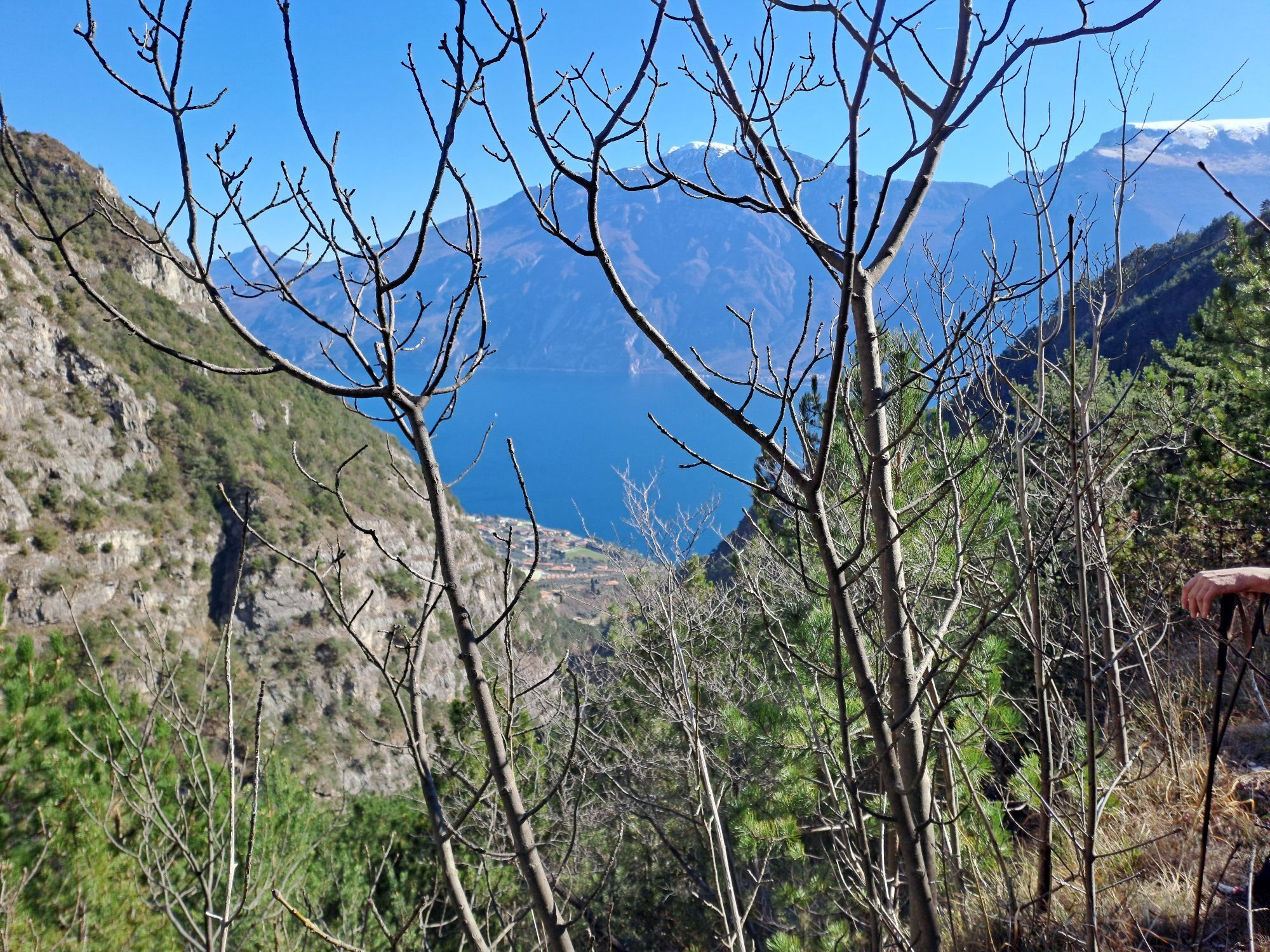
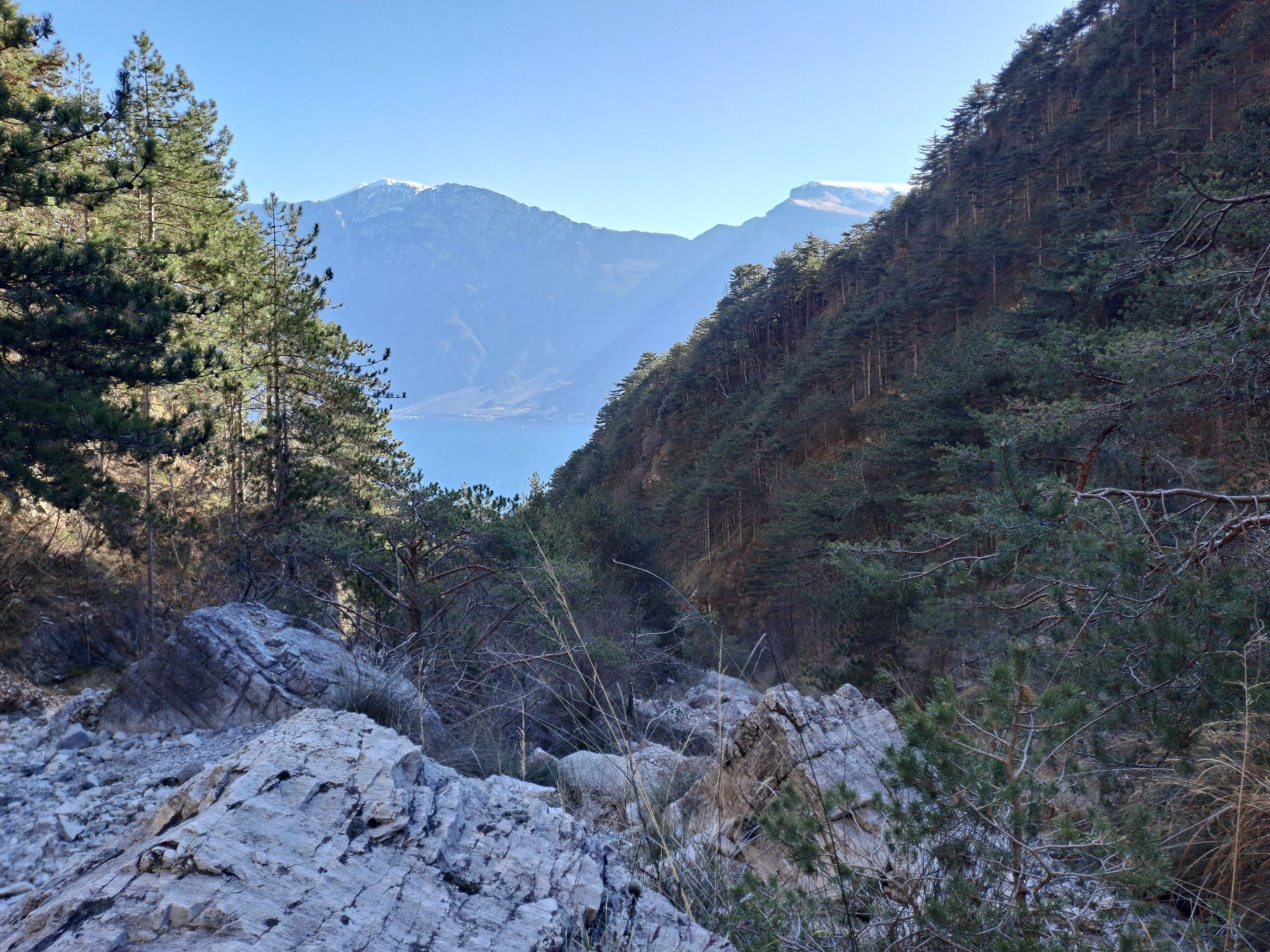
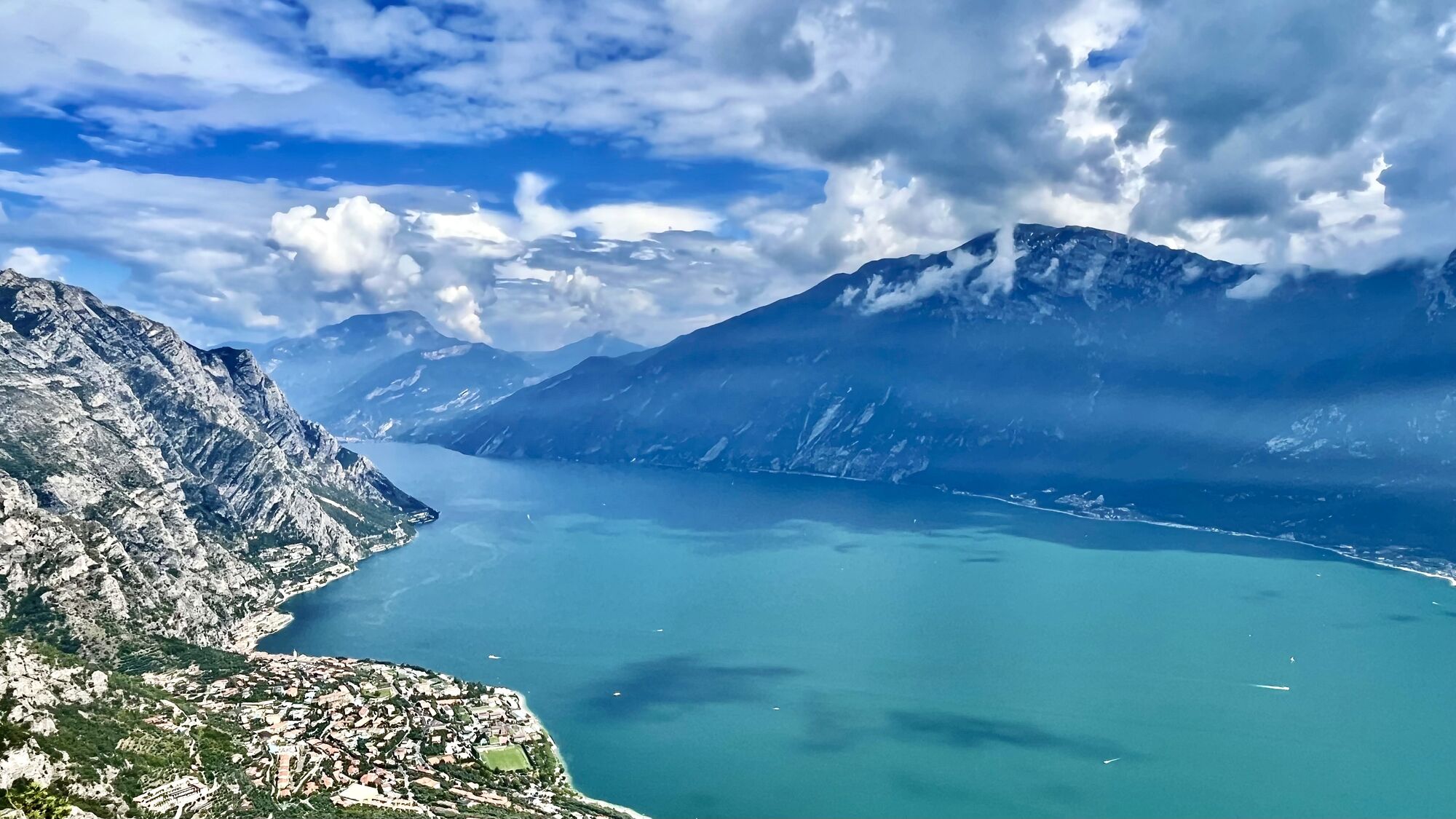
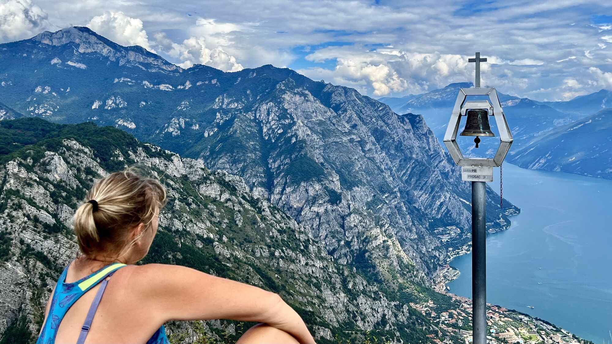
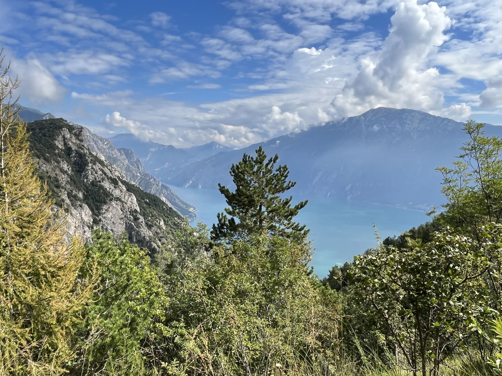
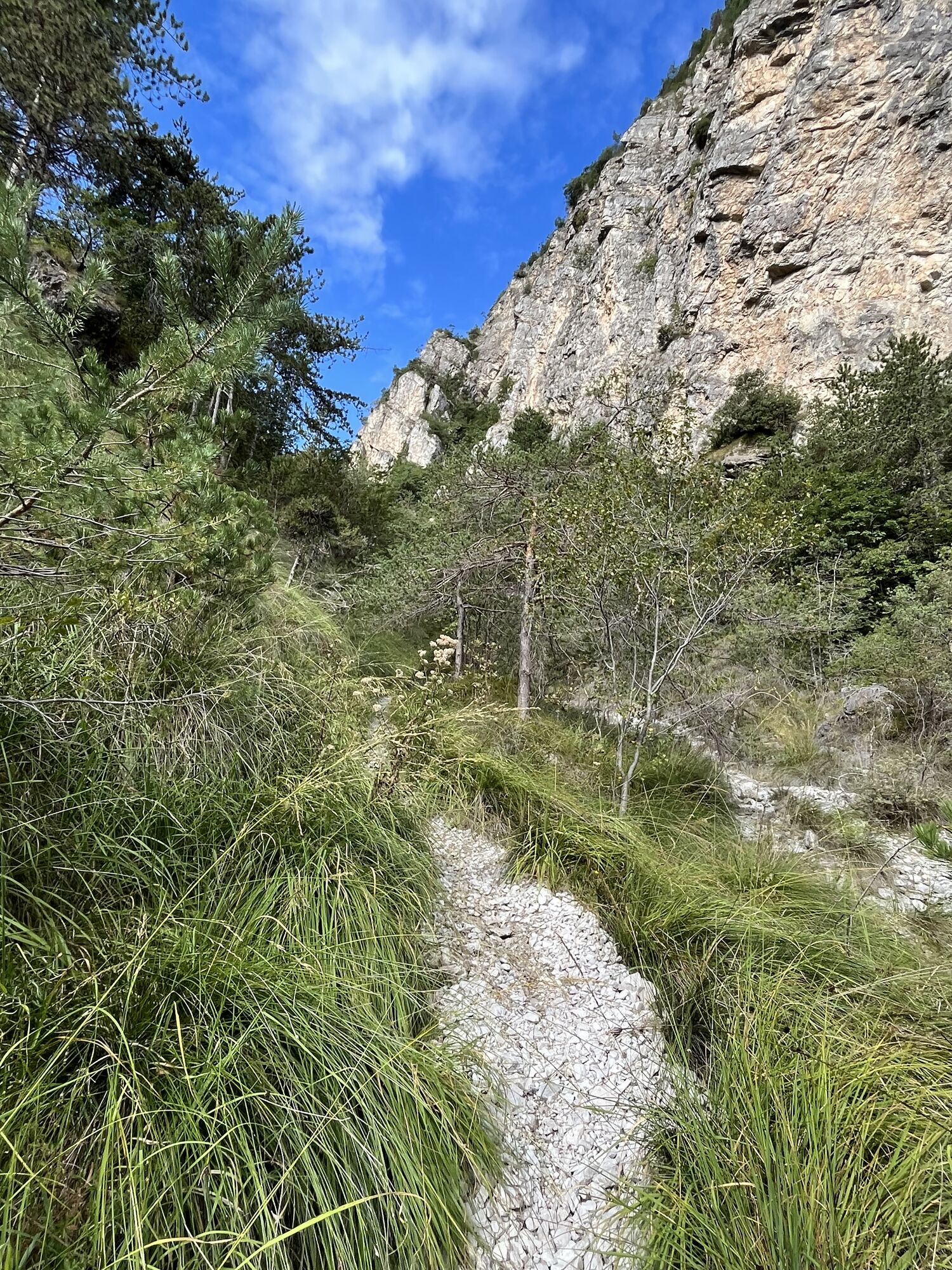
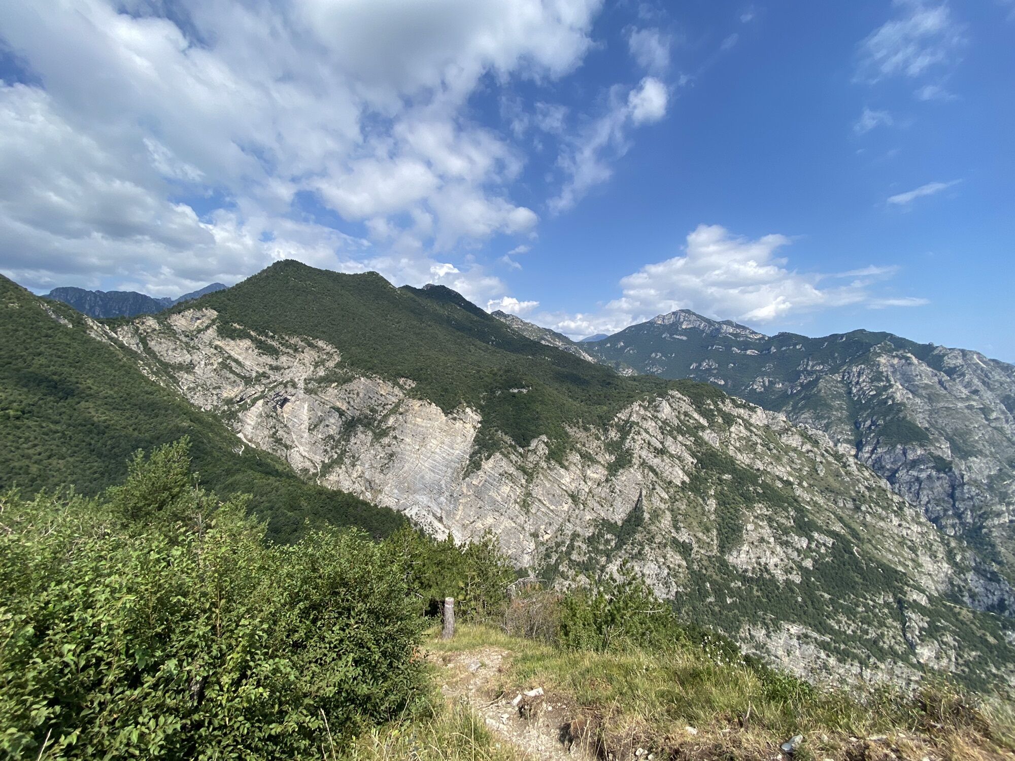
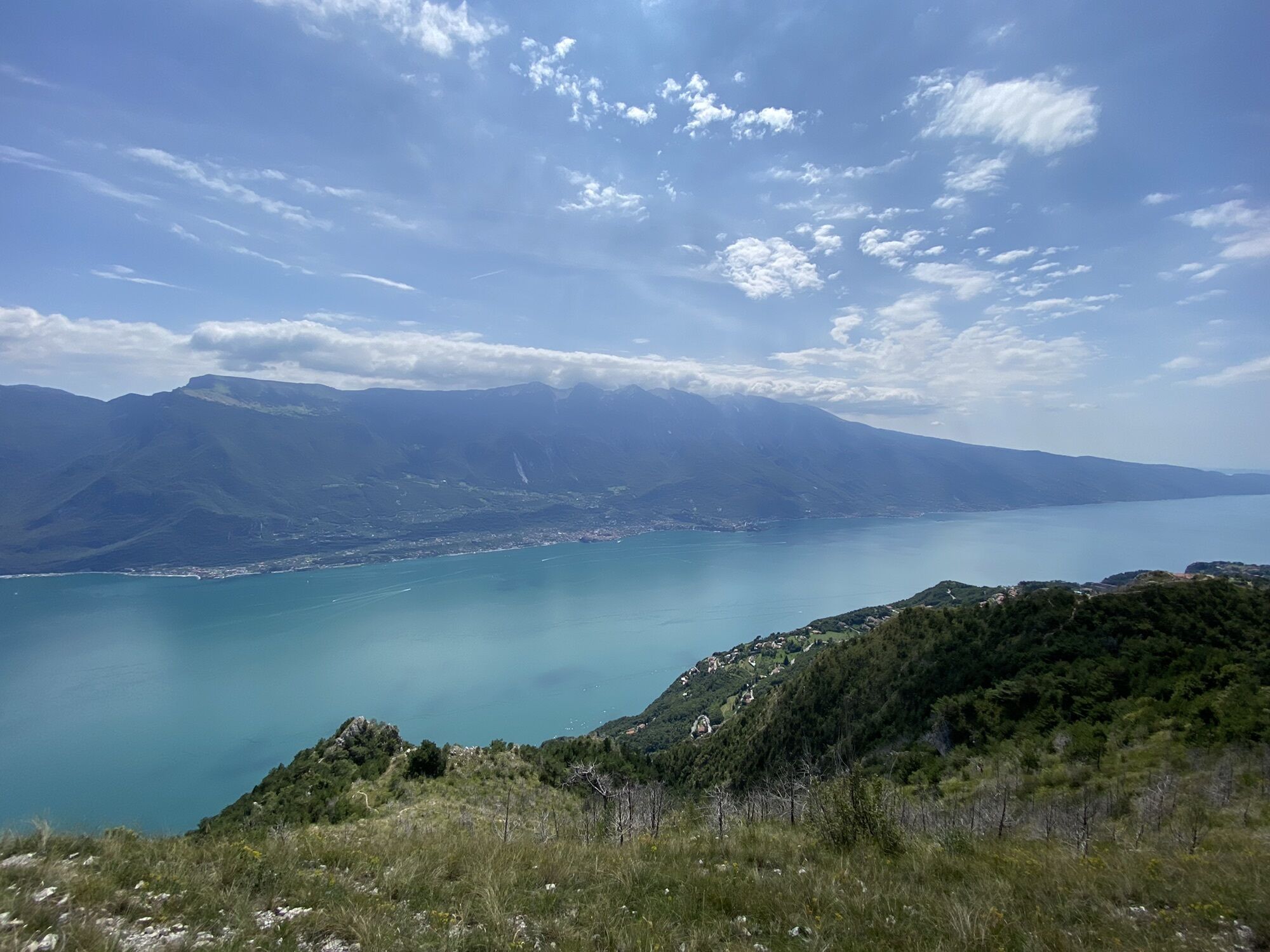
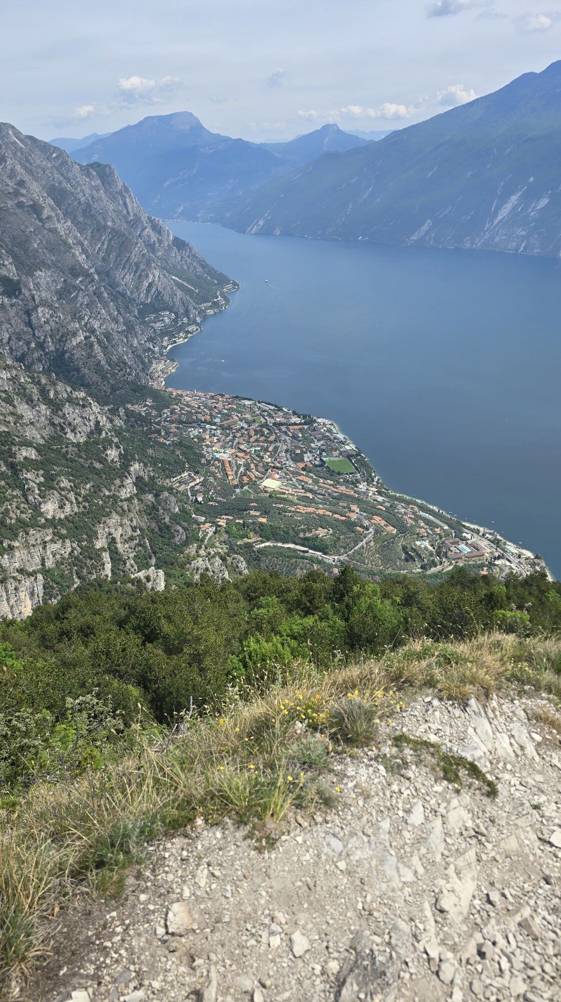
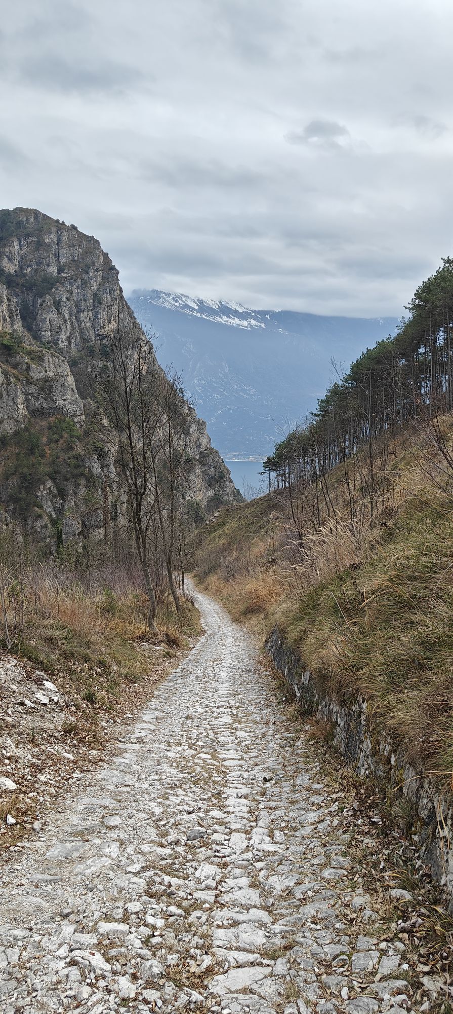
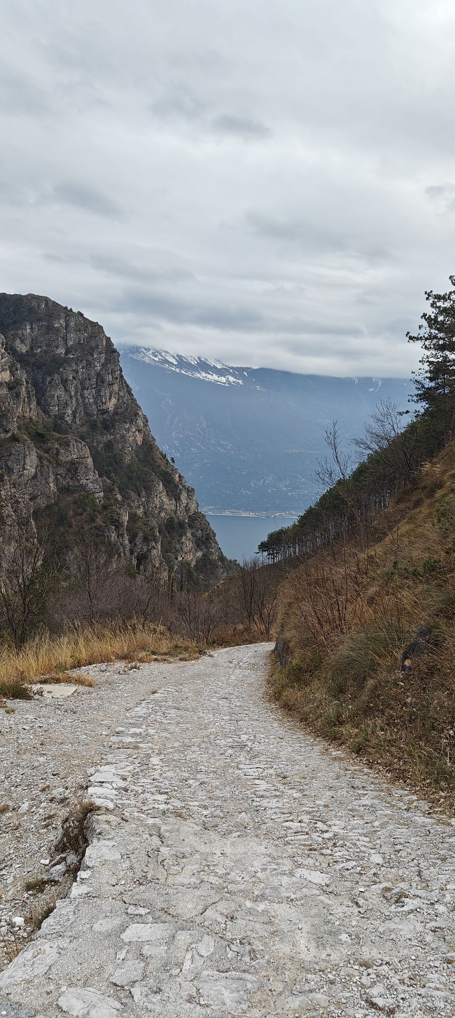
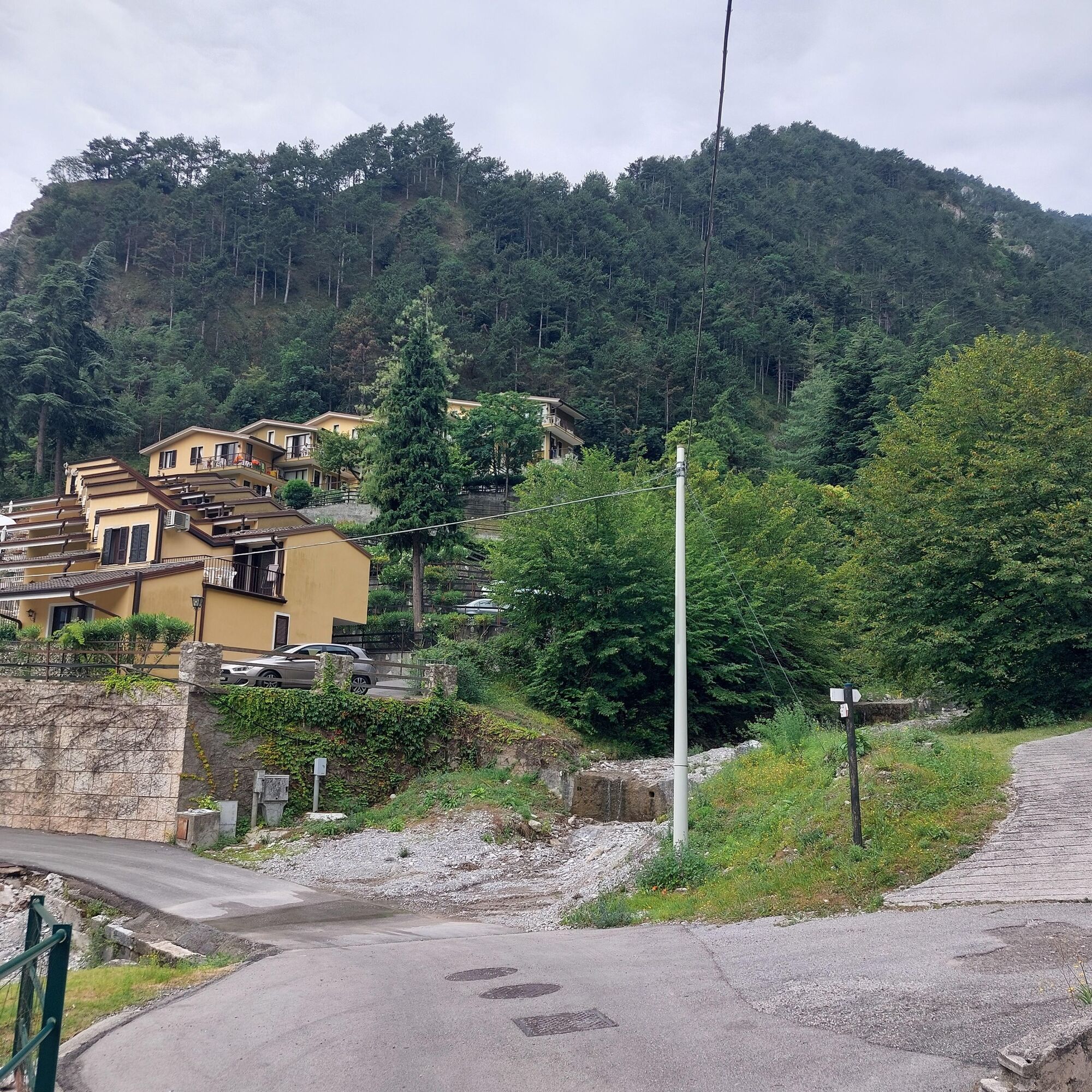
The starting point of this hike is the town hall of Limone. From here follow via Tamas, passing near the chapel, and head up towards the San Pietro chapel and Comboni Center.
Continuing uphill, you reach...
The starting point of this hike is the town hall of Limone. From here follow via Tamas, passing near the chapel, and head up towards the San Pietro chapel and Comboni Center.
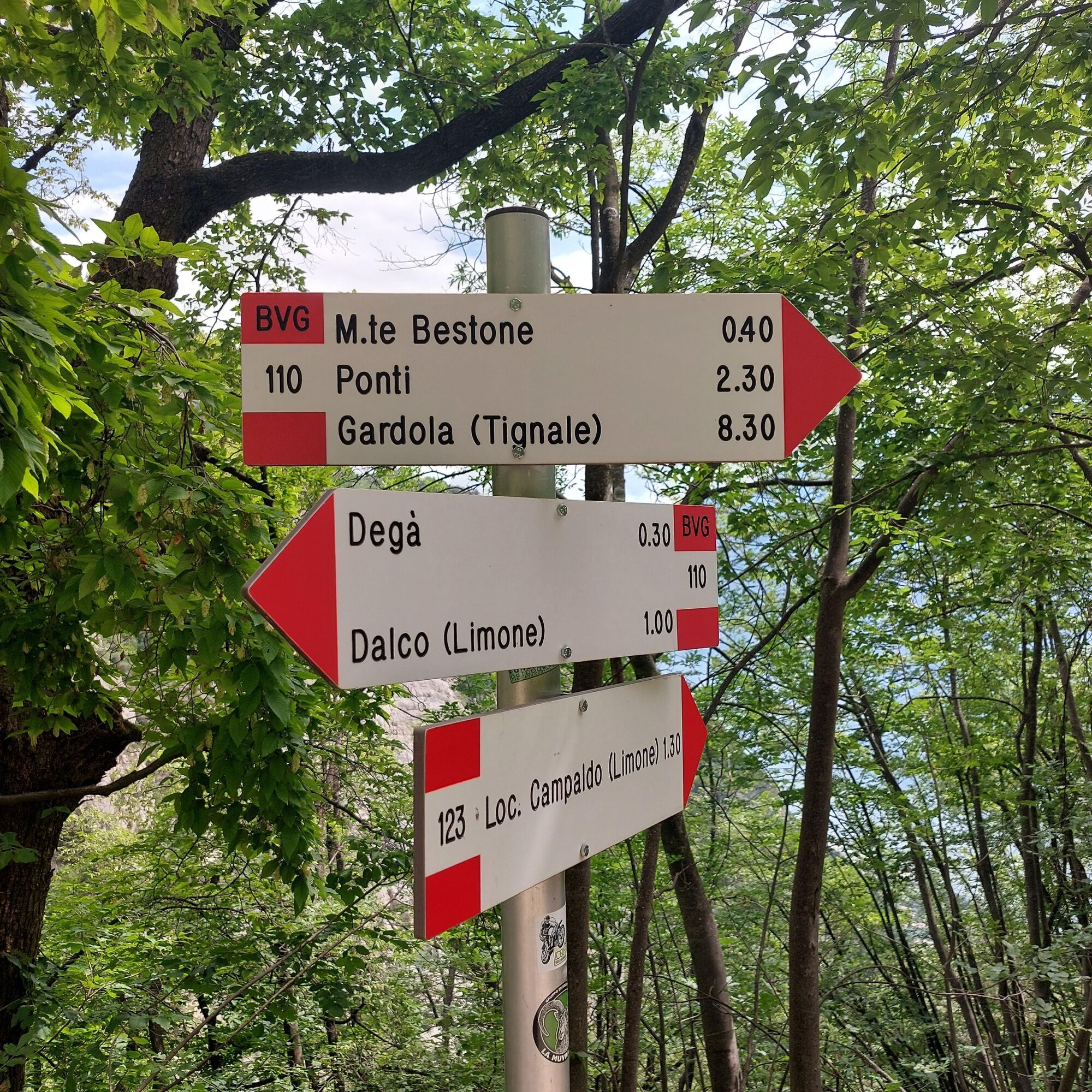
Continuing uphill, you reach the Campaldo locality, where on the right you see sign 123 to Monte Bestone, the trail we will take back.
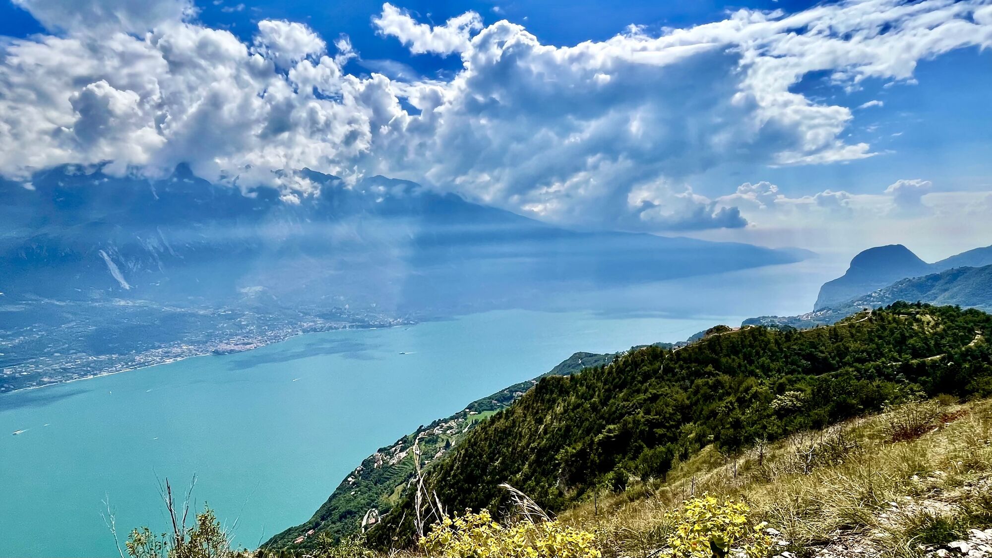
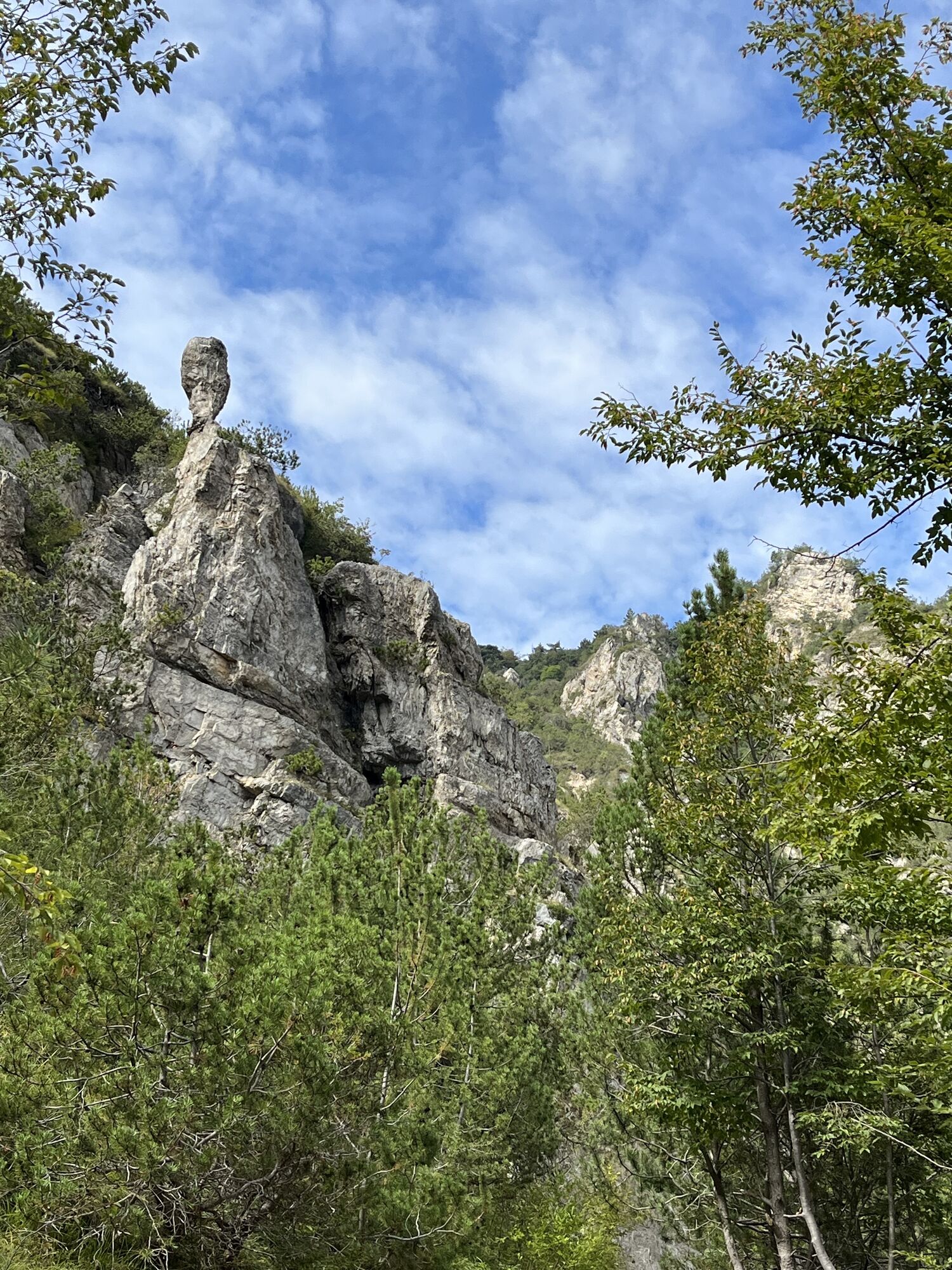
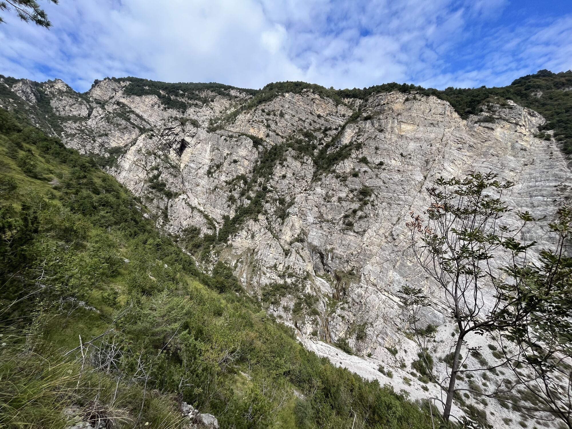
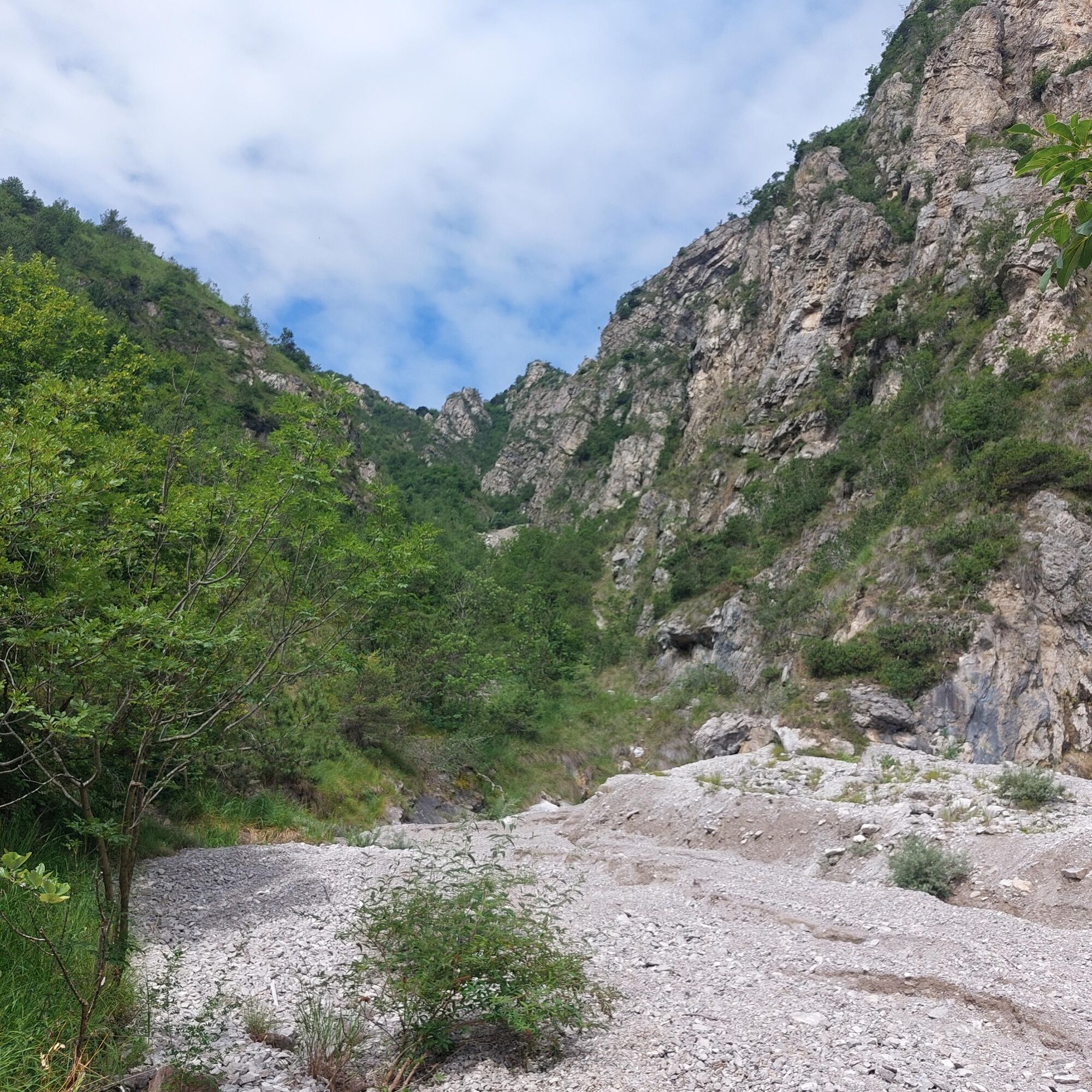
We continue straight and, a little further ahead, find on the right the signs for trail 138 (experts only) which first climbs through the woods and then through rocky areas where there are several equipped sections that help with the ascent.
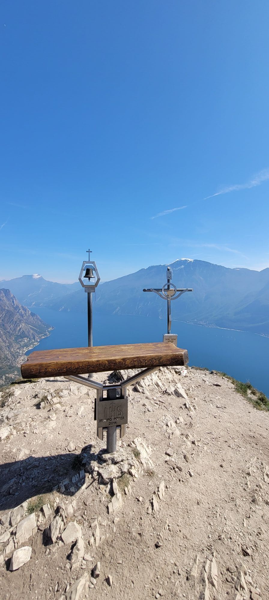
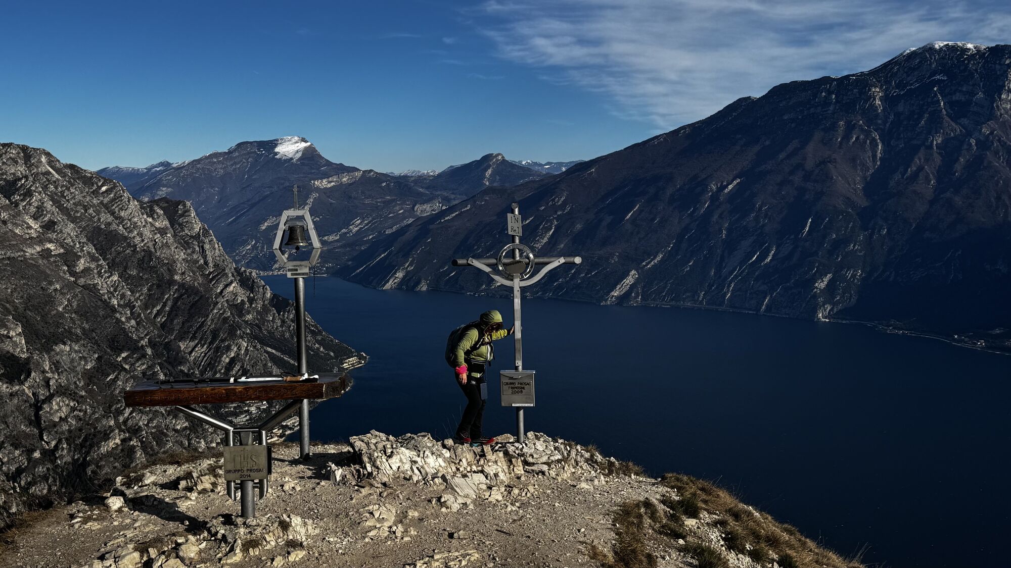
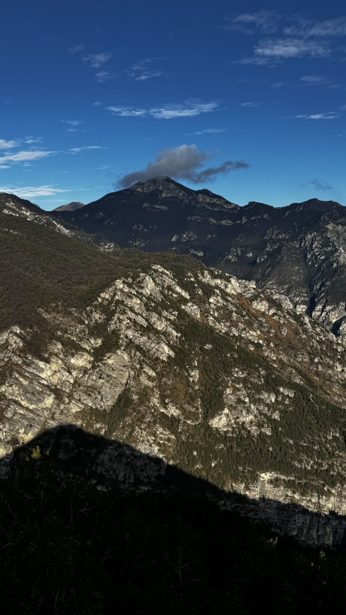
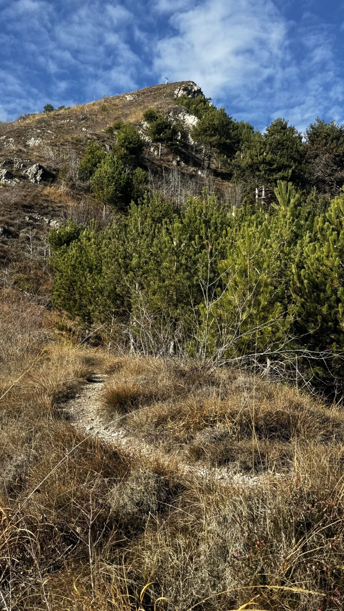
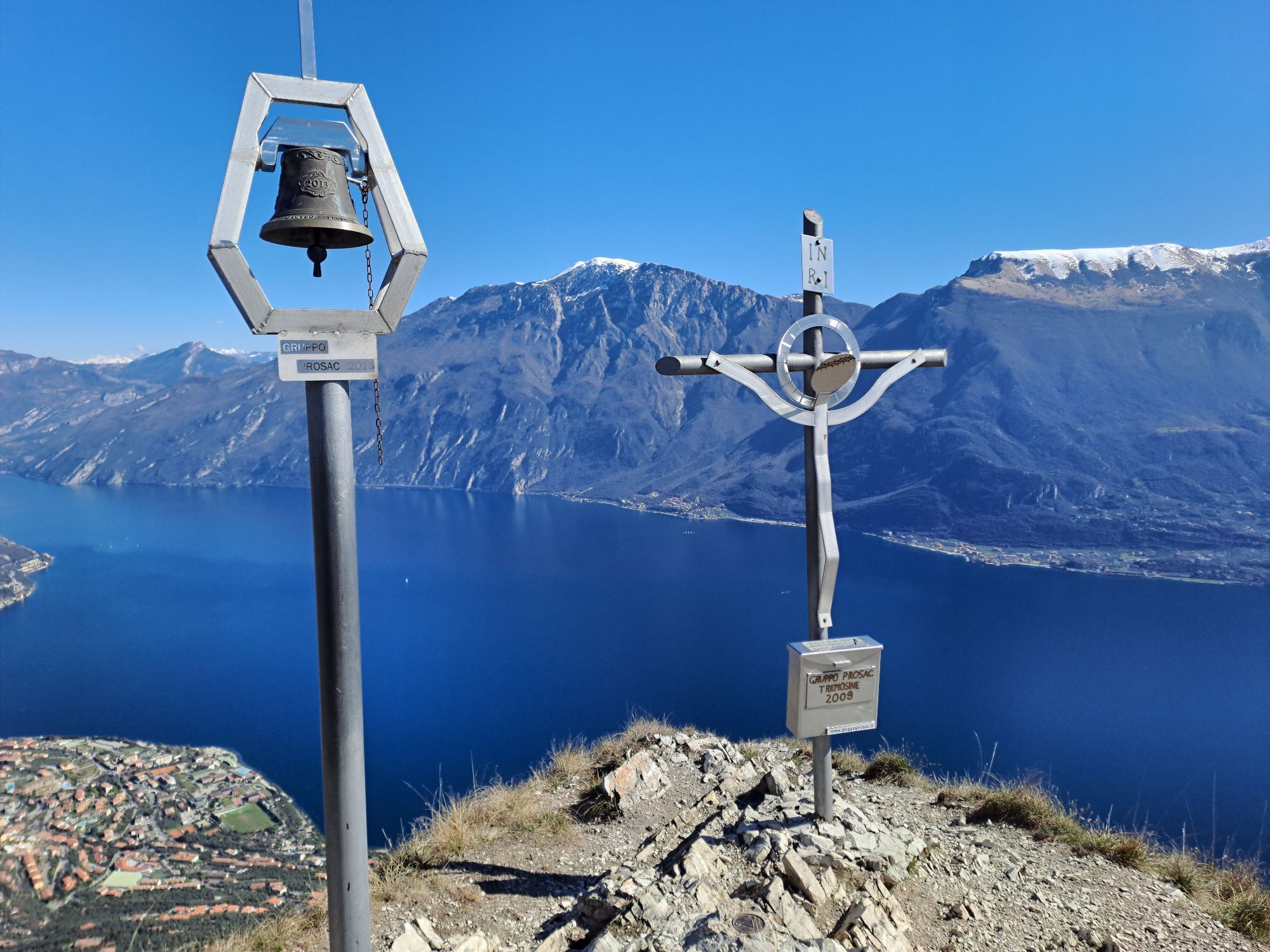
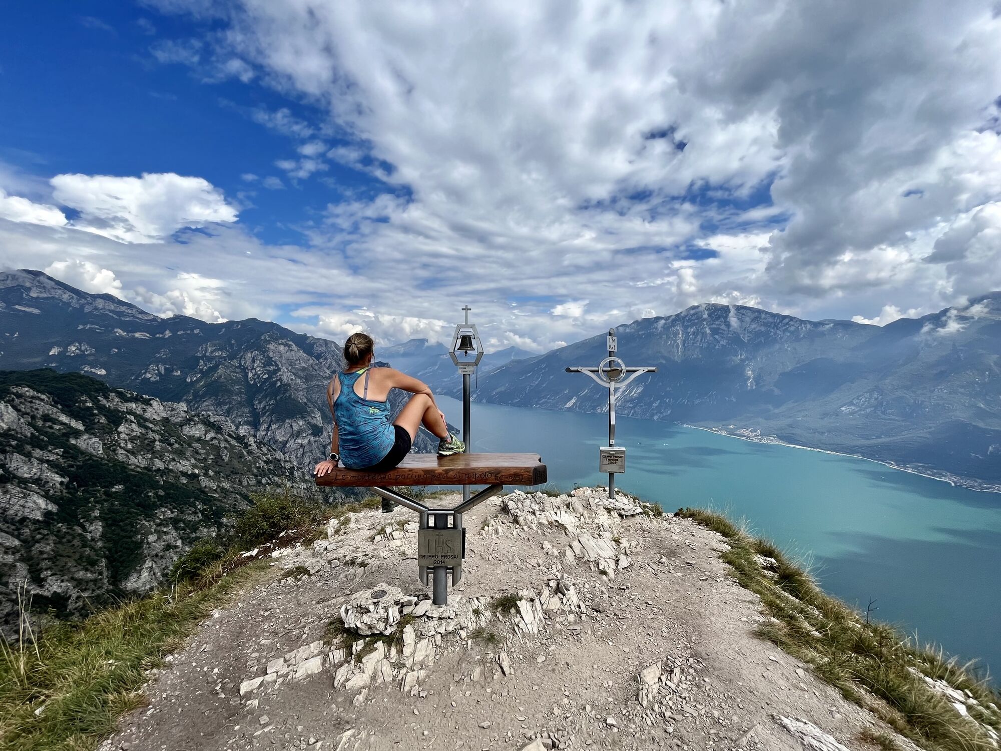
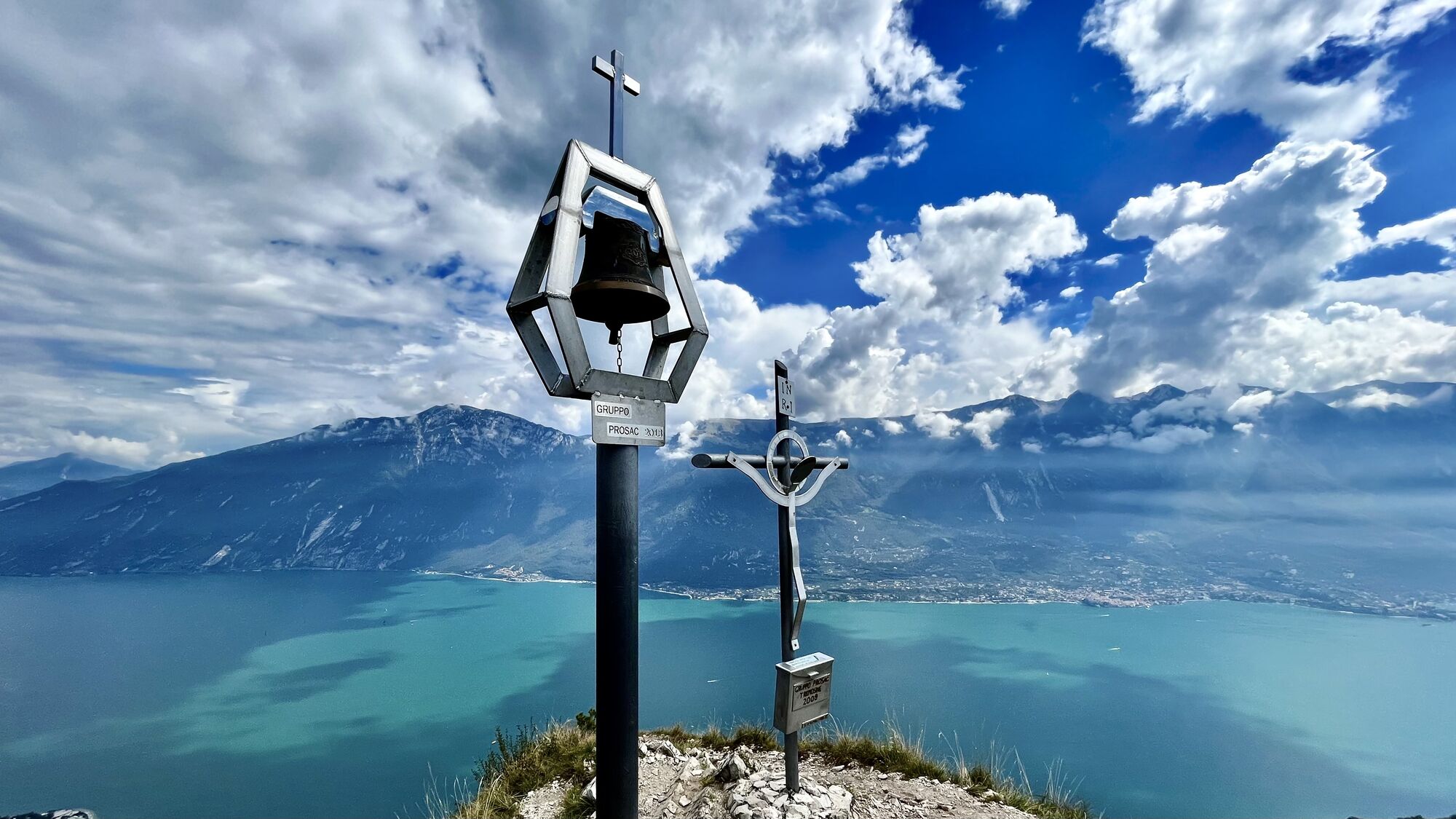
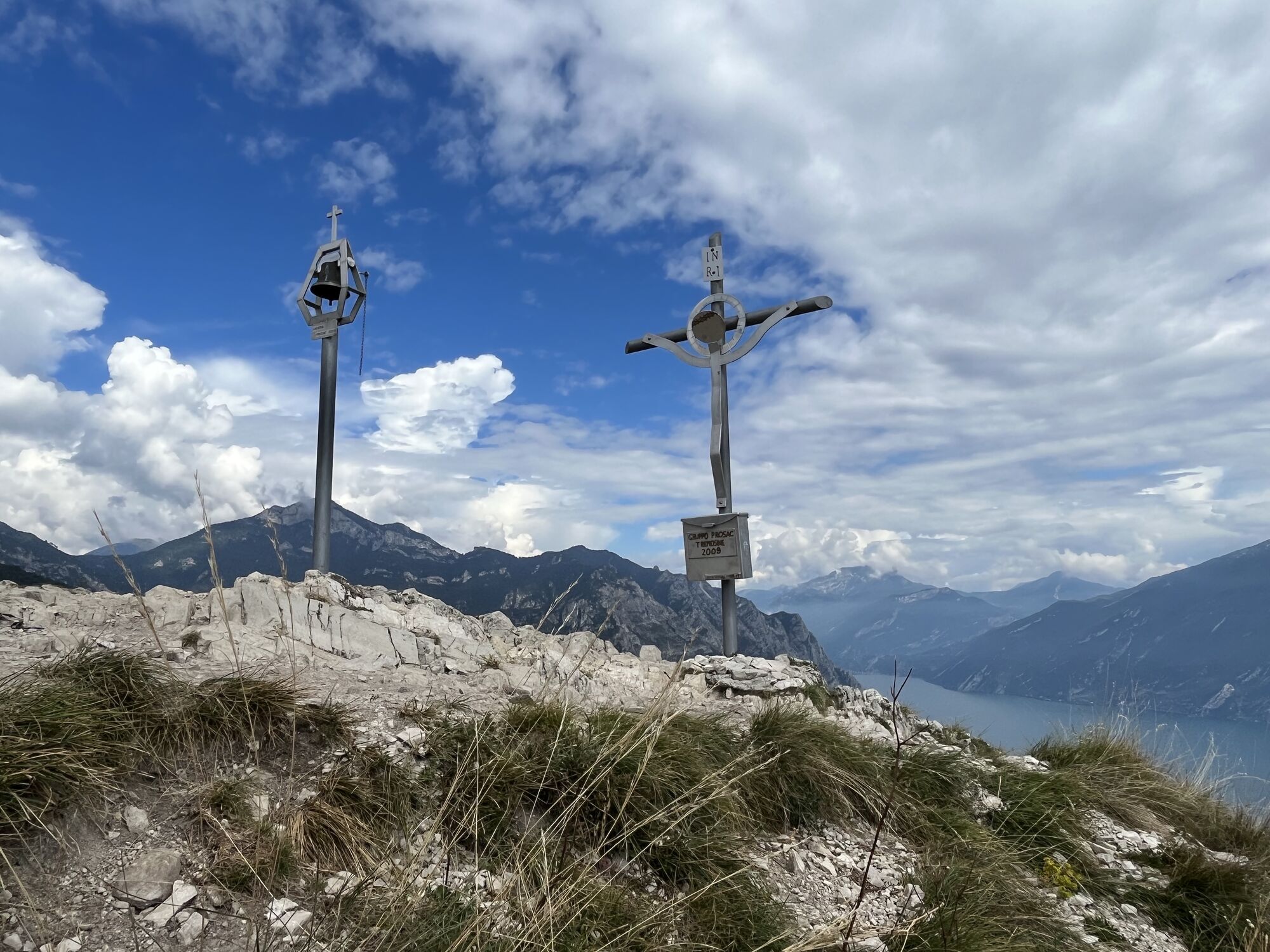
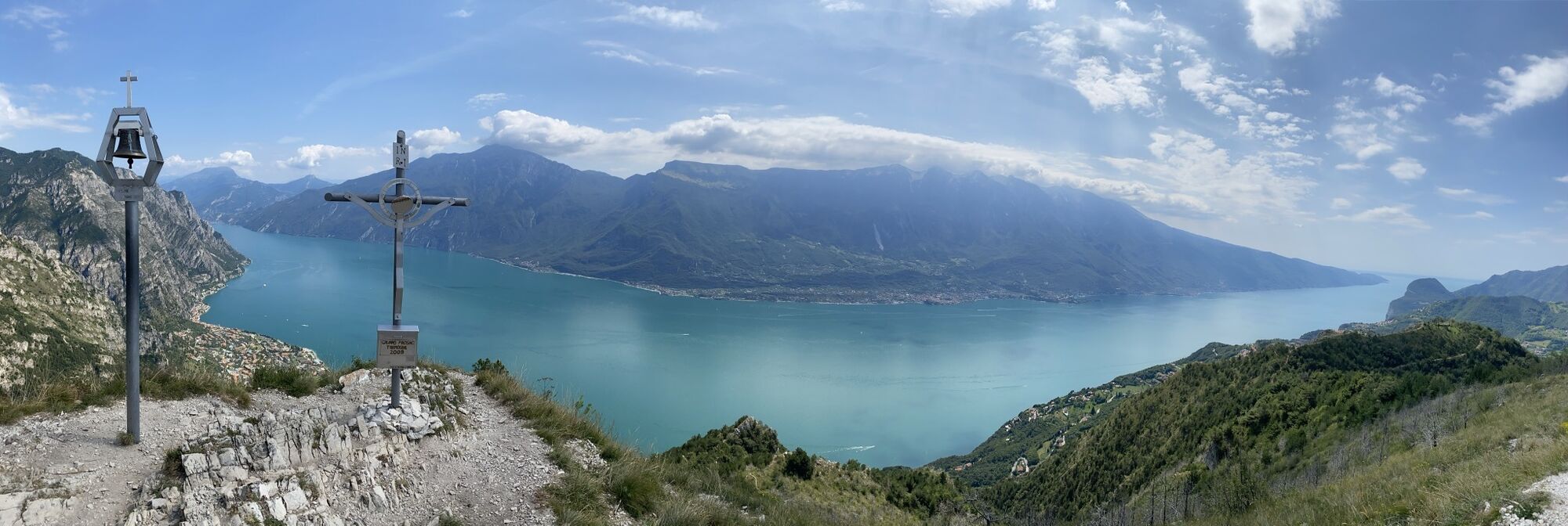
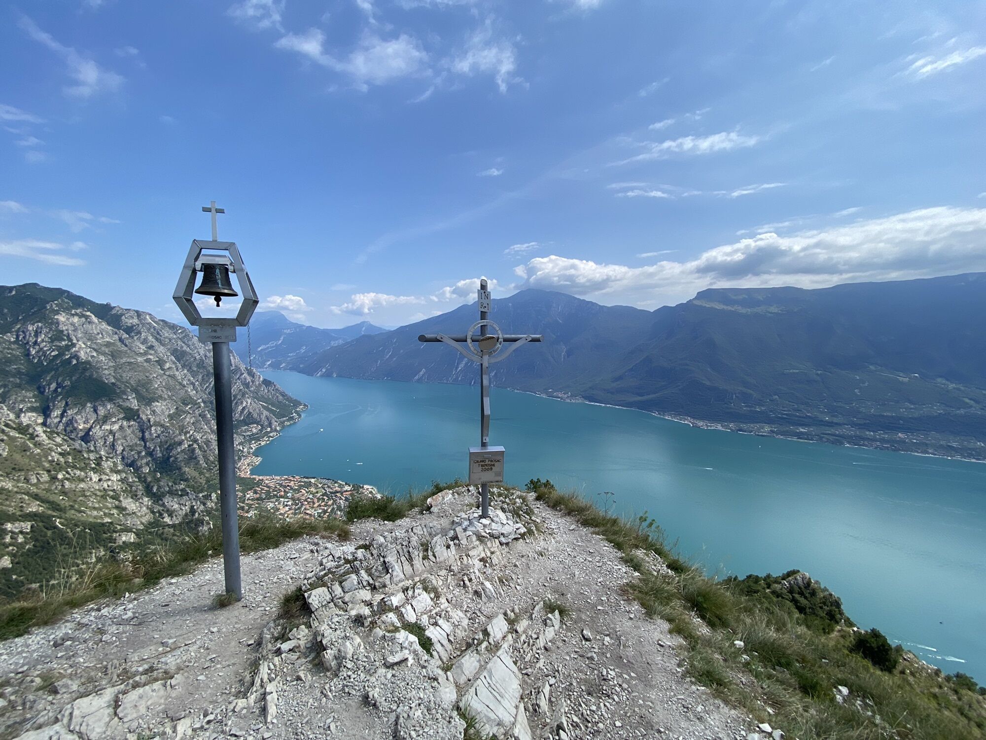
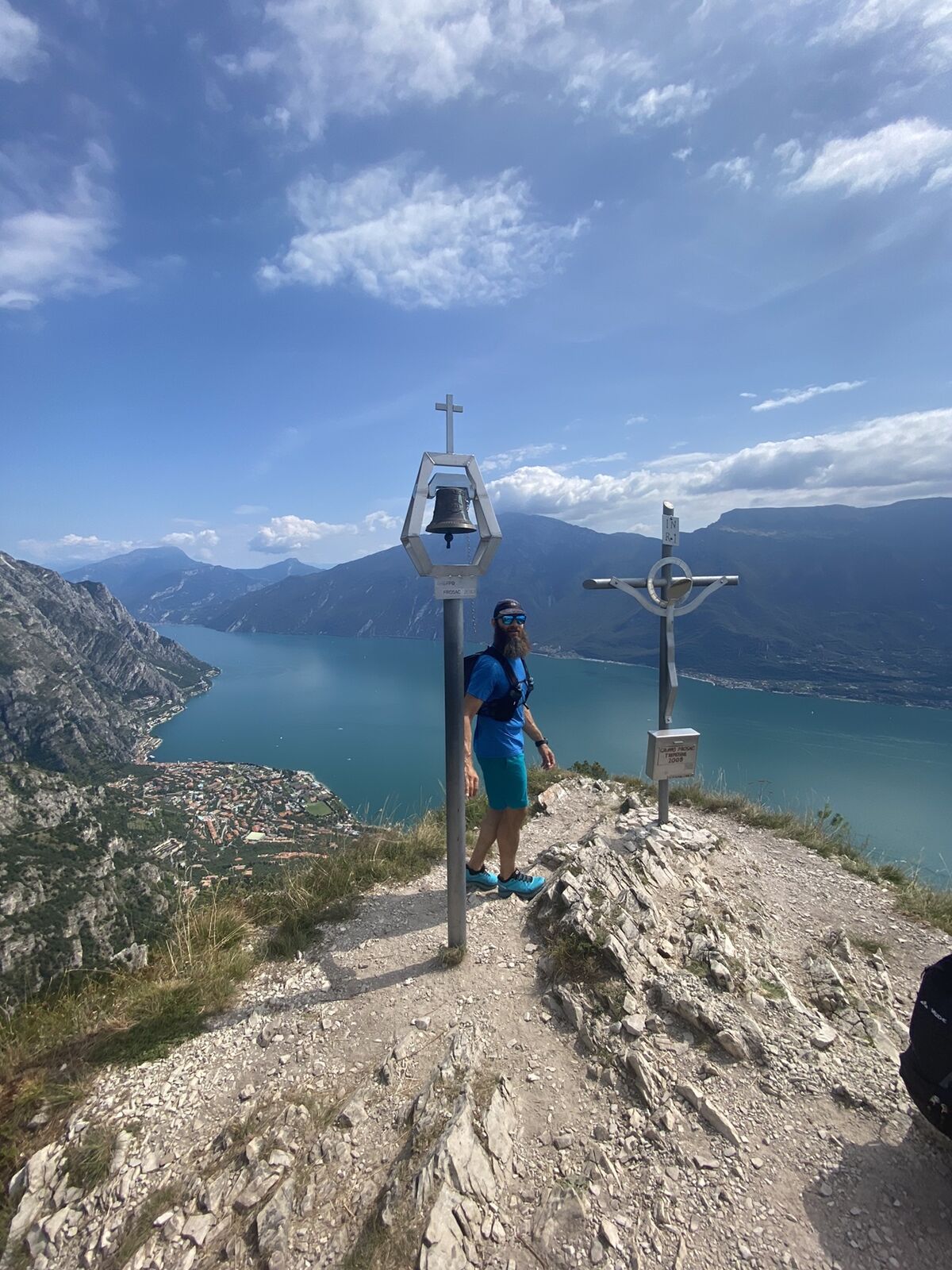
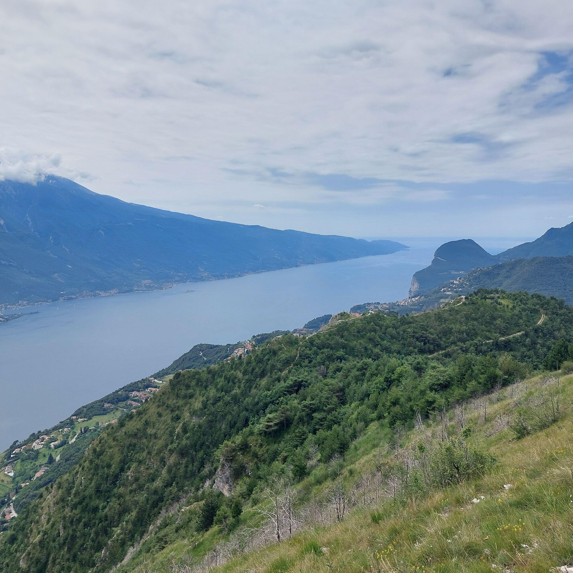
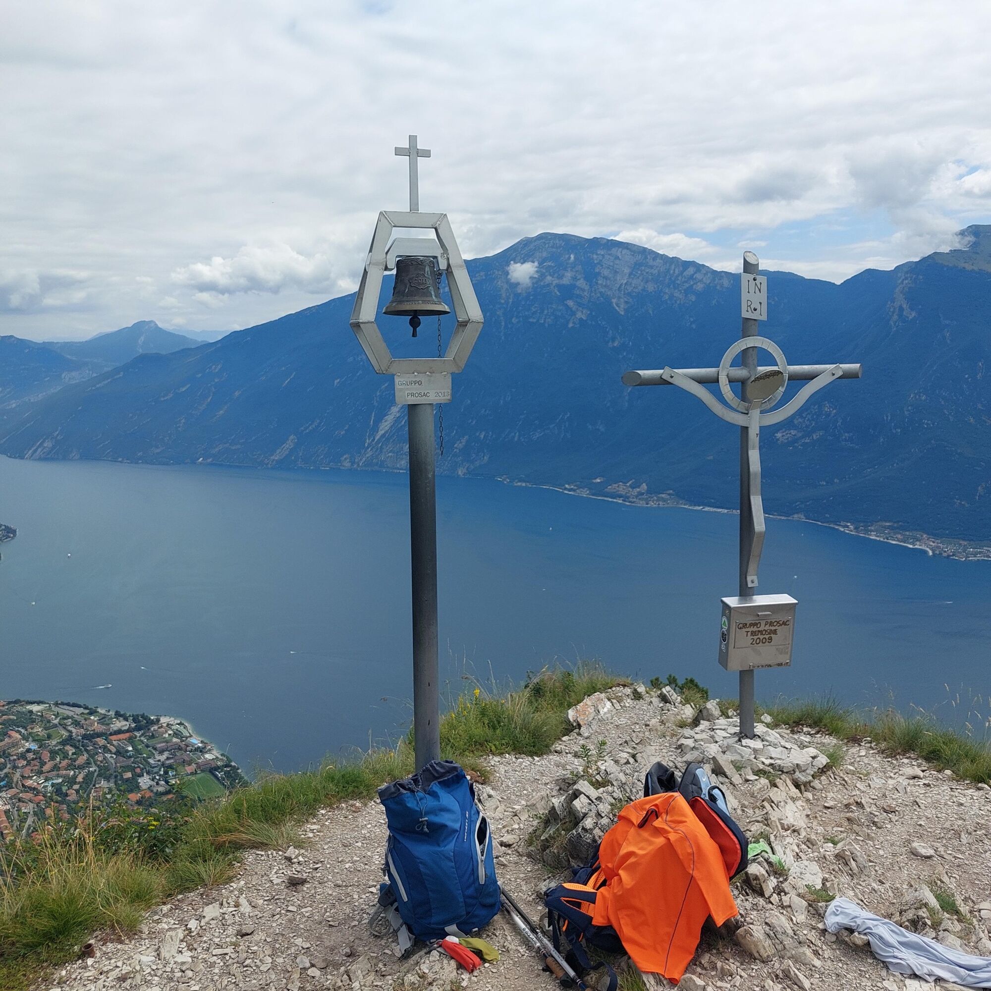
Approaching the summit, there is a final steep climb and you arrive at the highest part of Monte Bestone.
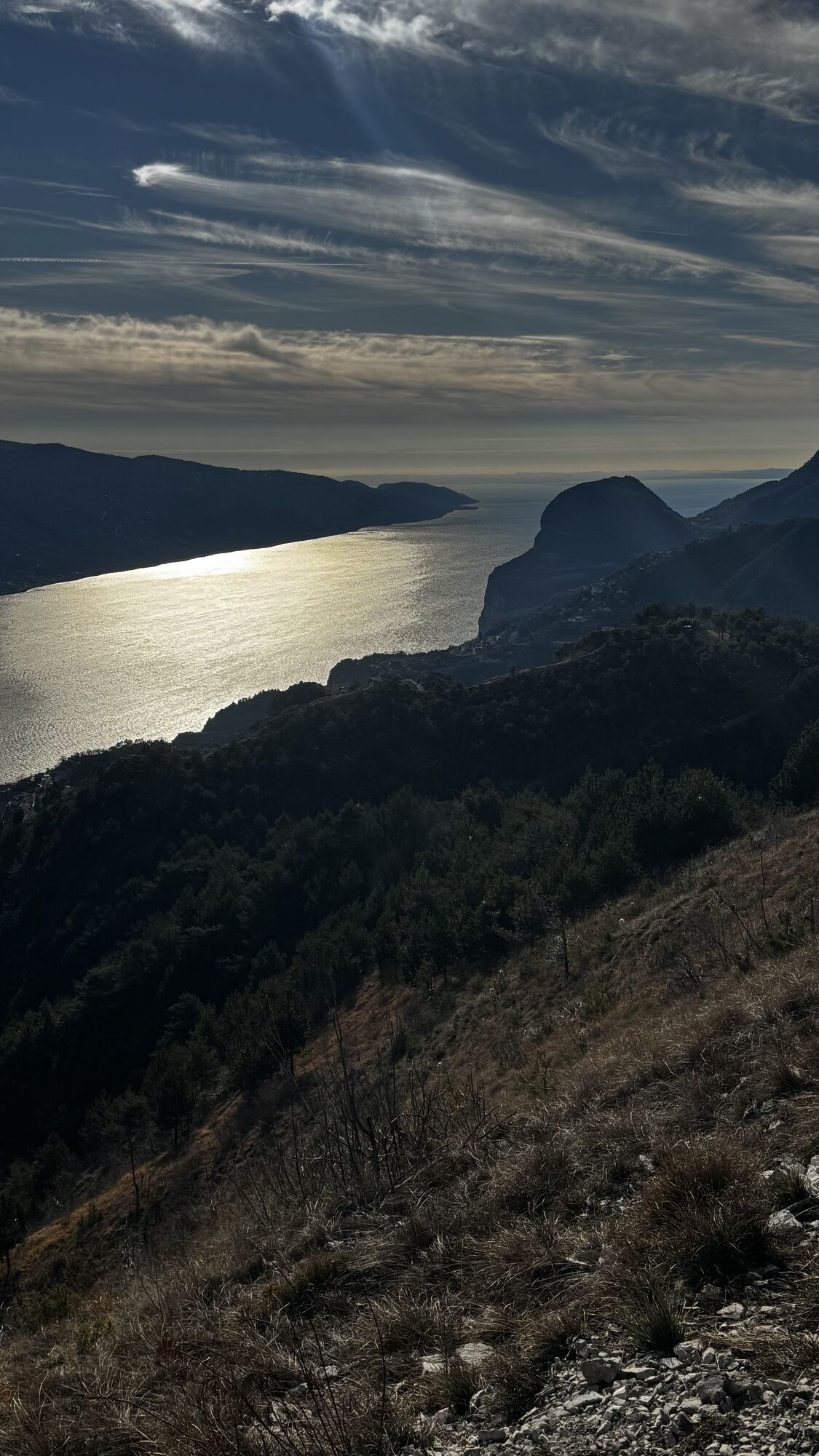
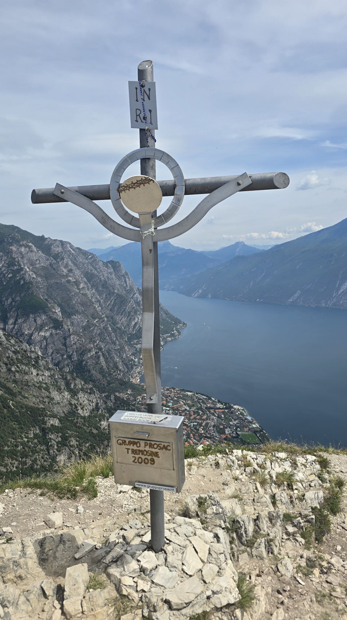
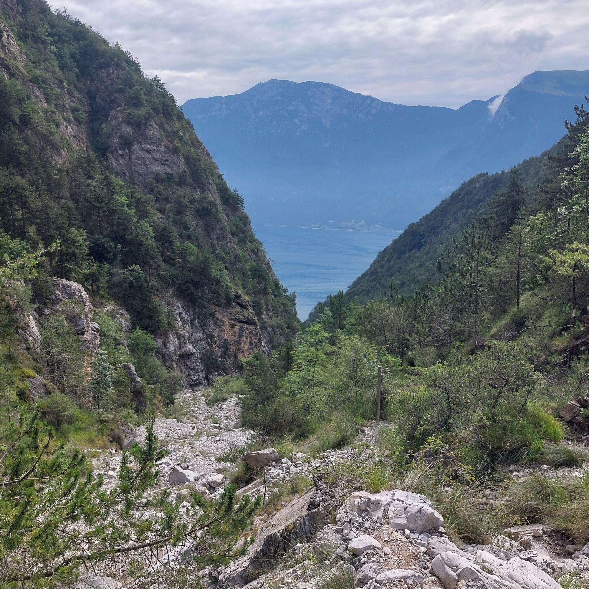
For the return, follow the faint trace of trail 110 which descends near the cross (not the obvious one to the left leading to Tremosine) and then continues in a steep zigzag slope reaching a grassy meadow. Go straight and reach a forest road.
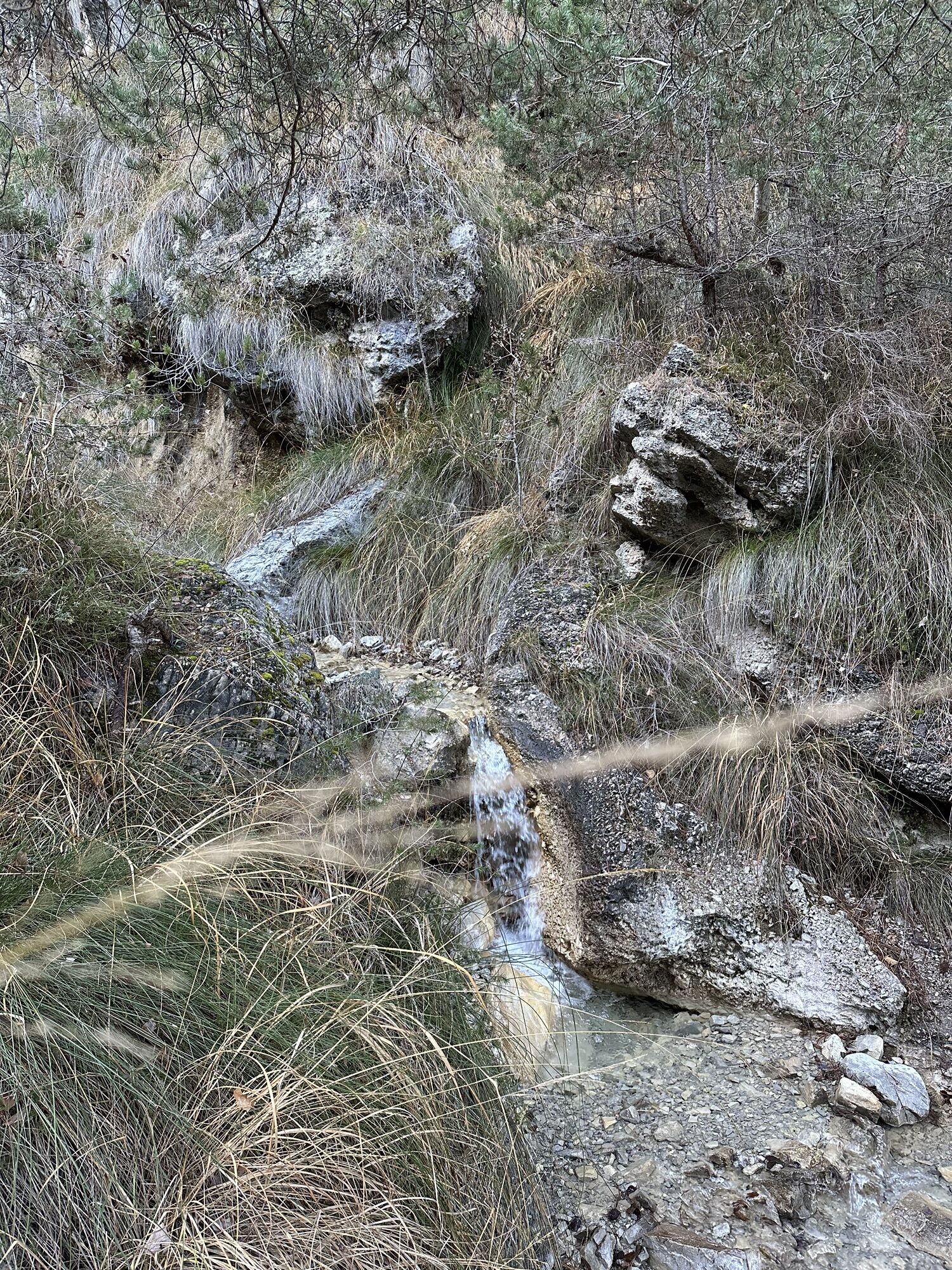
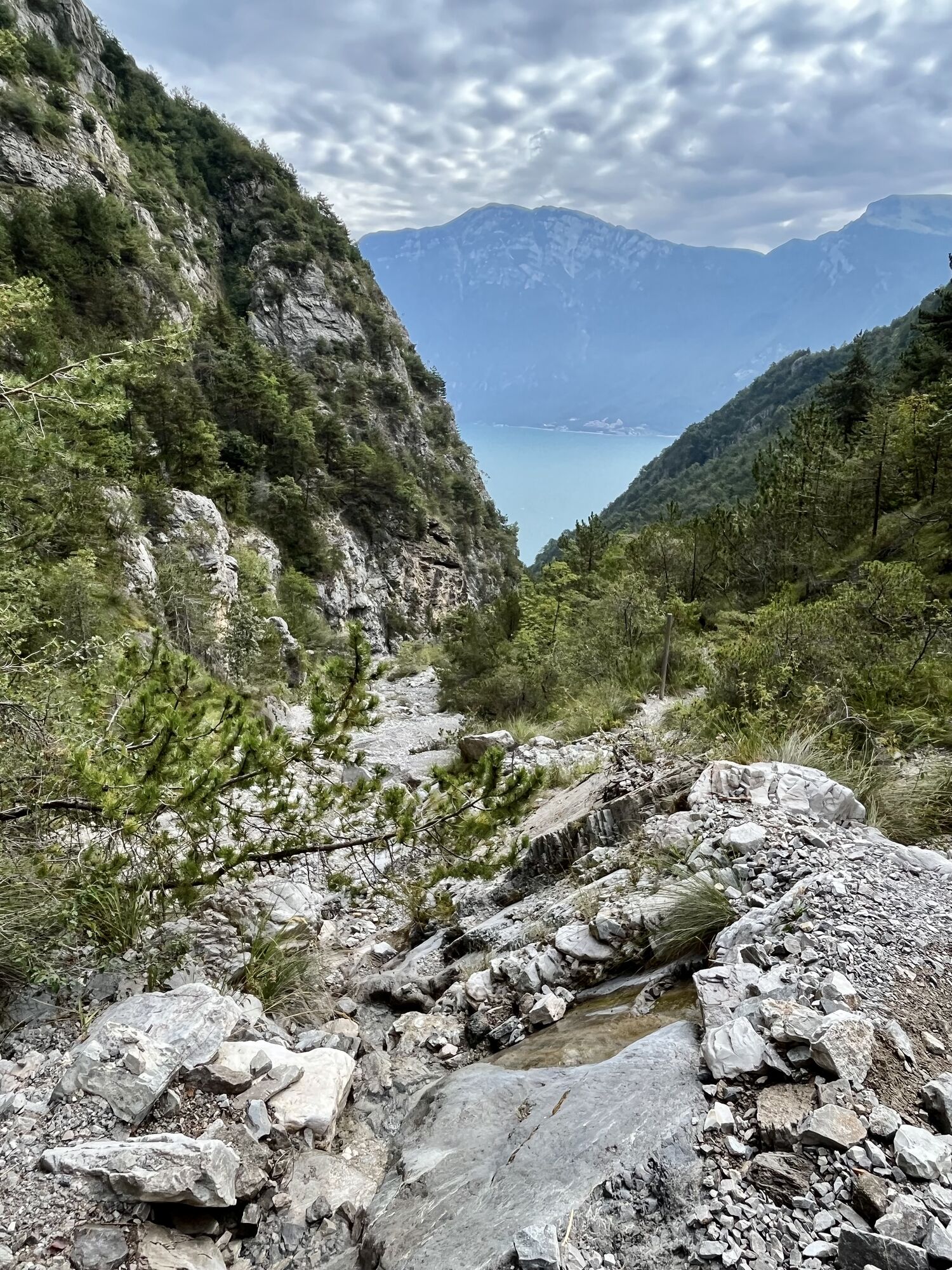
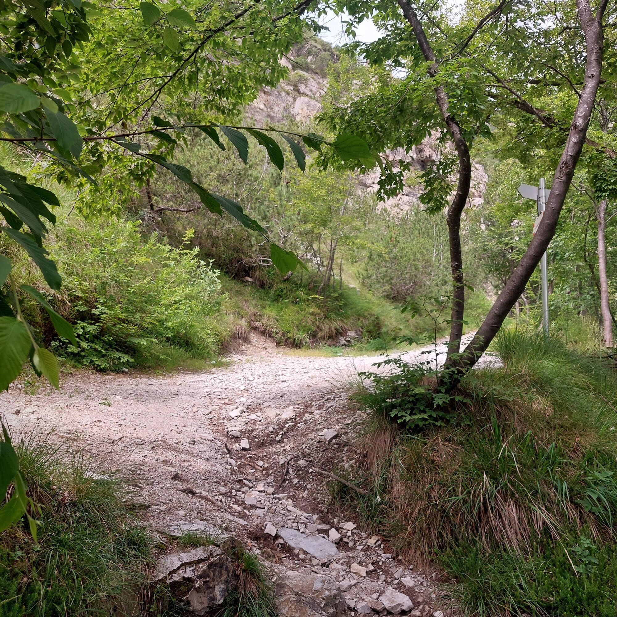
Here turn right and a little further ahead, take the right entrance with trail 123 which starts descending through the woods, crosses the stream, and arrives at Campaldo.
From here, return to Limone along the same trail as the outward journey.


1) Prepare your itinerary in advance
2) Choose a route suitable based on your fitness level
3) Choose appropriate equipment and gear for the hike
4) Check the weather reports
5) Starting alone is more risky
6) Leave information about your itinerary and approximate return time
7) Do not hesitate to hire a professional guide
8) Always check the signs and markings you find along the route
9) Do not hesitate to turn back
10) Always wear clothing suitable for the season, taking into account the type of hike, altitude, and weather, which in the mountains can change very quickly.
11) Equipment: besides suitable shoes, it is recommended to carry a water bottle, first aid supplies, a map, a multifunctional knife, and an outdoor app on your phone
12) In case of accident, alert by calling the emergency number 112
As you can imagine, the passability of routes in a mountain environment is strictly linked to current conditions and therefore depends on natural events, environmental changes, and weather conditions. For this reason, the information contained in this sheet might have changed. Before leaving, check the condition of the route by contacting the refuge managers on your route, alpine guides, park visitor centers, or tourist offices.
Limone sul Garda can be reached by car, via motorway and Gardesana state road.
Take the A4 Milan-Venice motorway and exit at the Brescia Est tollgate, then take the ring road towards Lake – Madonna di Campiglio – Salò. From Salò follow the signs to Riva del Garda
The town of Limone sul Garda is served by the Riva del Garda / Desenzano bus line and the Riva del Garda / Brescia line.
For those arriving by train, the closest train stations to Limone are Desenzano del Garda at the southern part of the lake or Rovereto to the north.
Trail 138, called the Butterfly trail, is only for experienced hikers because there are equipped sections.
If you don't feel up to it, you can go up trail 123 and 110 up to Monte Bestone and return along the same route.
 Uzyskaj wgląd
Zawsze na żywo z ponad 9 500 kamer internetowych. bergfex Jako użytkownik Pro, możesz teraz zobaczyć odpowiednie kamery internetowe dla wielu wycieczek w aplikacji wycieczki od. Pozwala to na bezpośredni podgląd aktualnych warunków.
Uzyskaj wgląd
Zawsze na żywo z ponad 9 500 kamer internetowych. bergfex Jako użytkownik Pro, możesz teraz zobaczyć odpowiednie kamery internetowe dla wielu wycieczek w aplikacji wycieczki od. Pozwala to na bezpośredni podgląd aktualnych warunków.

Popularne wycieczki w okolicy
-
5,0
Bastione and Santa Barbara, the lords of Riva del Garda
średniWędrówka 2,94 km -
4,8
Bocca Fortini - Tour
ciężkiMountainbike 35,4 km -
4,8
Via Ferrata Fausto Susatti - Cima Capi (from Ledro)
średniVia ferrata 7,11 km -
4,7
Sentiero Busatte Tempesta
światłoWędrówka 7,90 km -
4,6
Via Ferrata delle Laste e Gallerie di Cima Rocca
światłoVia ferrata 6,38 km -
4,9
Via Ferrata dell’Amicizia - Cima SAT
średniVia ferrata 4,41 km -
4,5
Walking around Lake Ledro
światłoWędrówka 9,40 km -
4,3
Tremalzo Big - Tour
ciężkiMountainbike 45,6 km -
4,4
Ferrata via dell'amicizia
średniVia ferrata 11,5 km -
4,7
Tremalzo Garda XXL - Tour
ciężkiMountainbike 66,6 km
Wędrówki i tropienie


Nie przegap ofert i inspiracji na następne wakacje
Twój adres e-mail została dodana do listy mailingowej.





