







Loop Route: Bormio – Umbrail Pass – Santa Maria Prato allo Stelvio – Stelvio Pass – Bormio
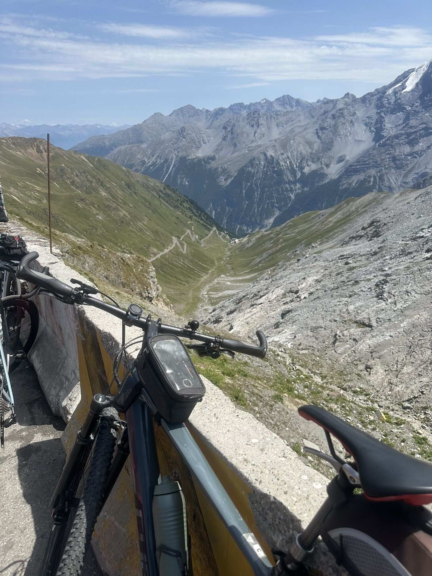
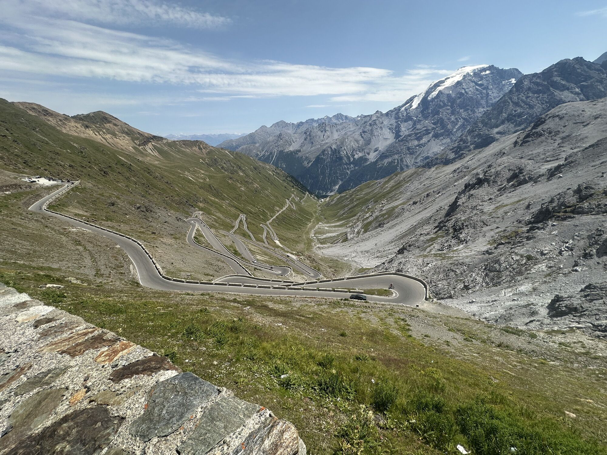
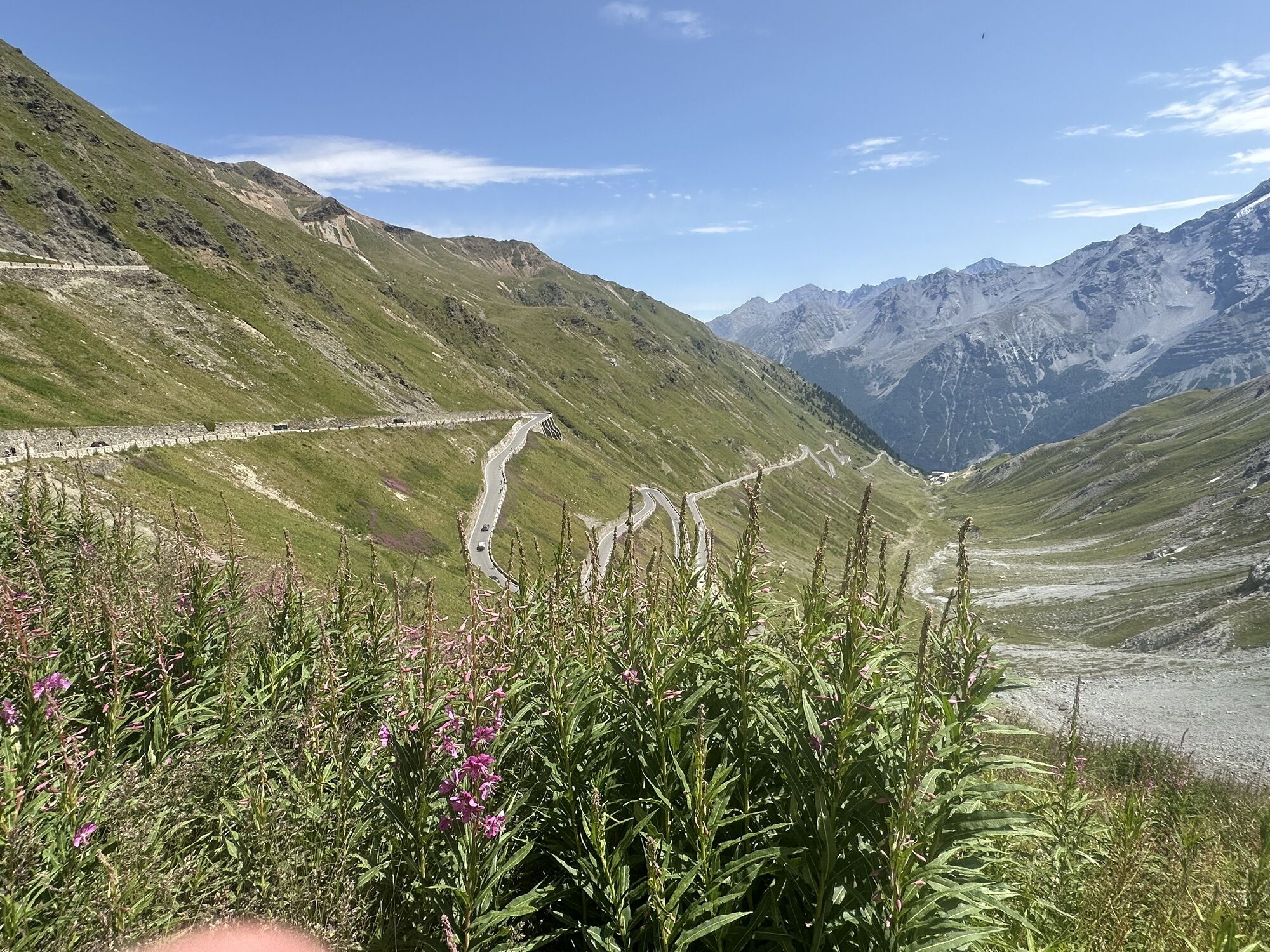
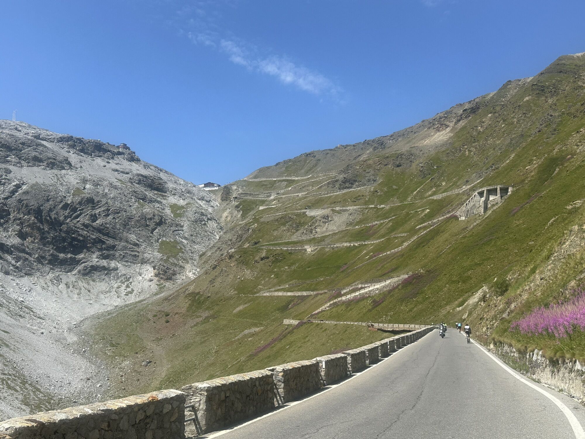
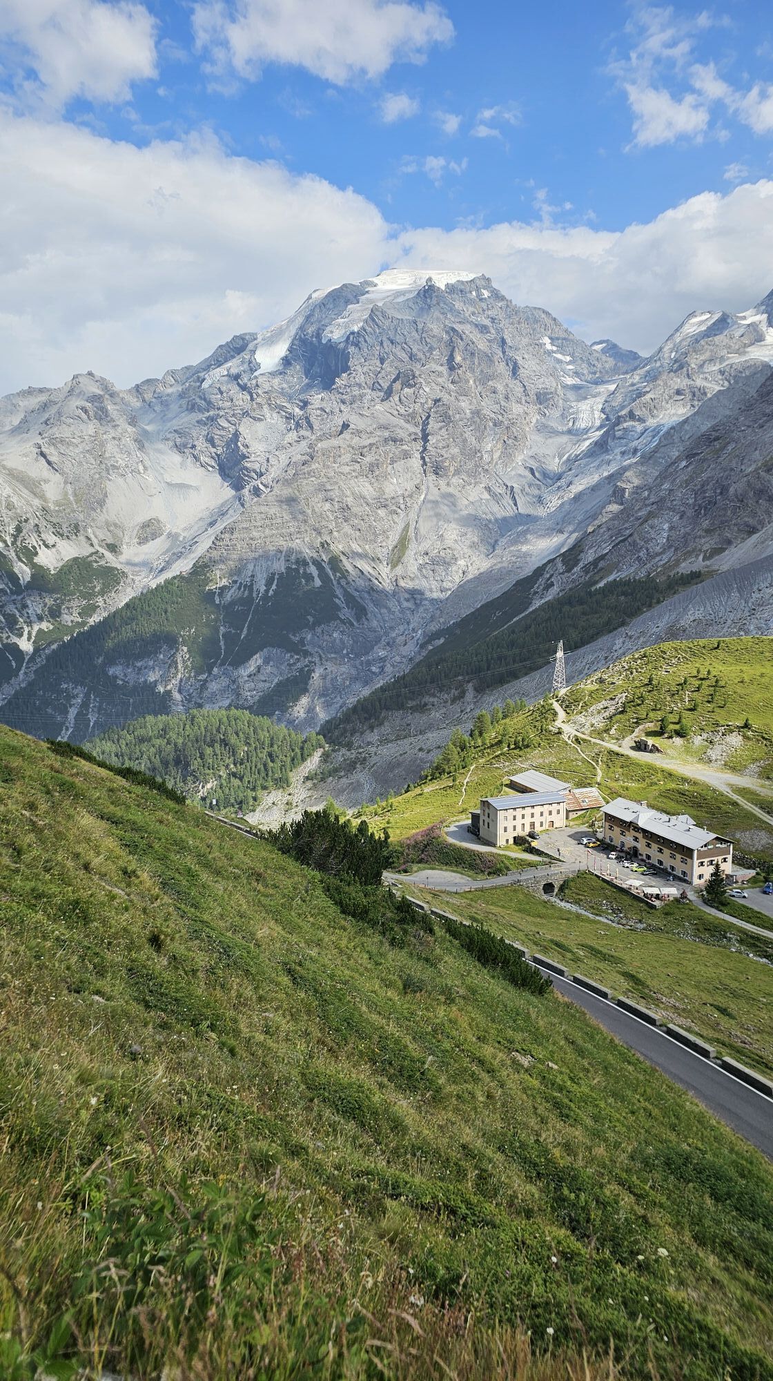
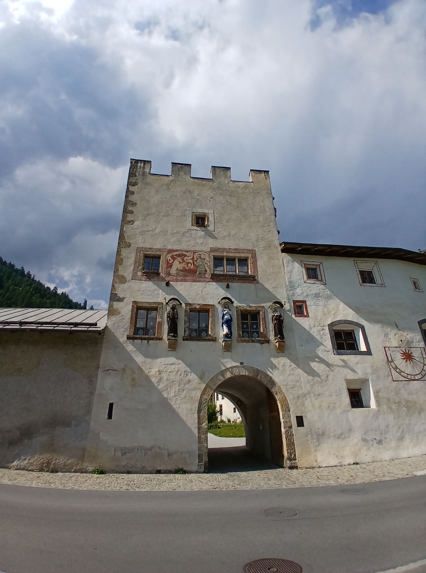
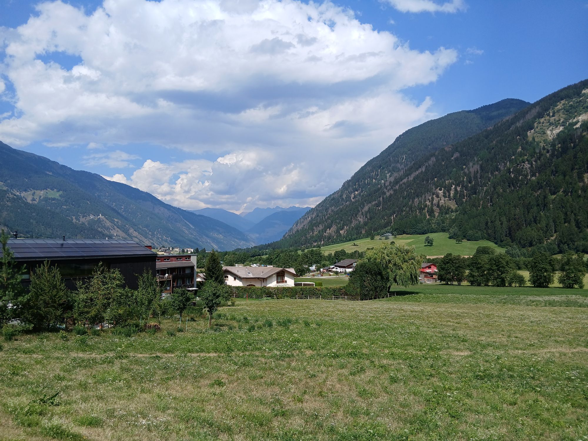
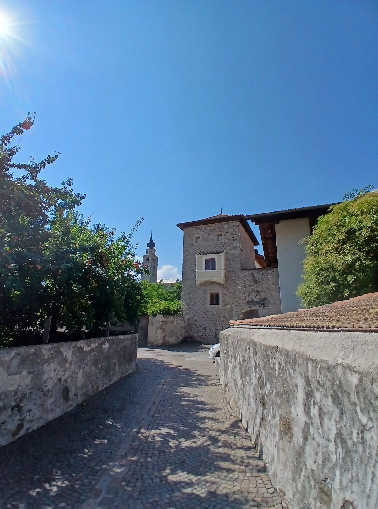
A true classic for road cycling enthusiasts, connecting three Alpine regions and some of the most iconic roads in the Alps.
From Bormio, the route climbs along the Stelvio Road to the IV Cantoniera, where...
A true classic for road cycling enthusiasts, connecting three Alpine regions and some of the most iconic roads in the Alps.
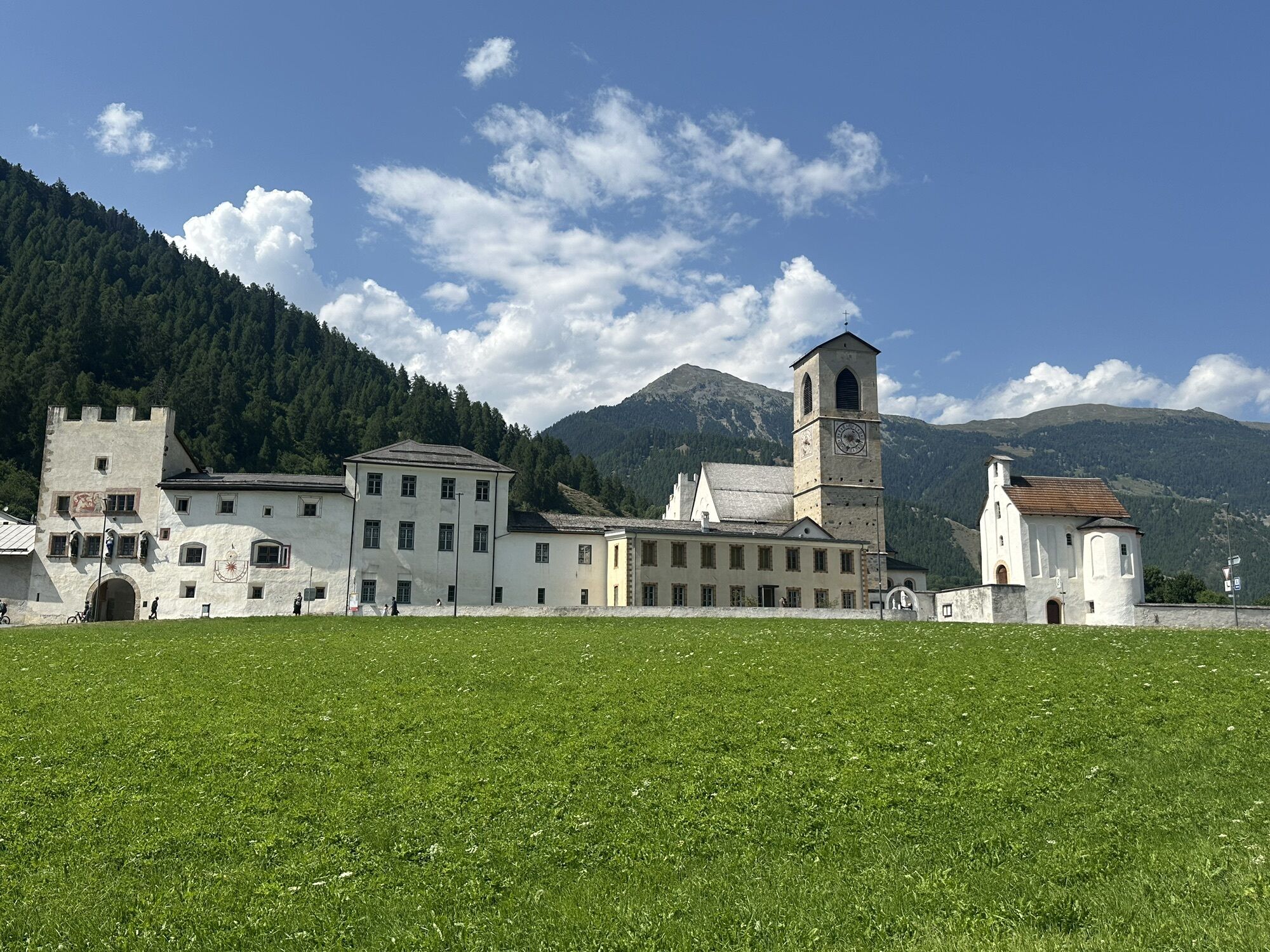
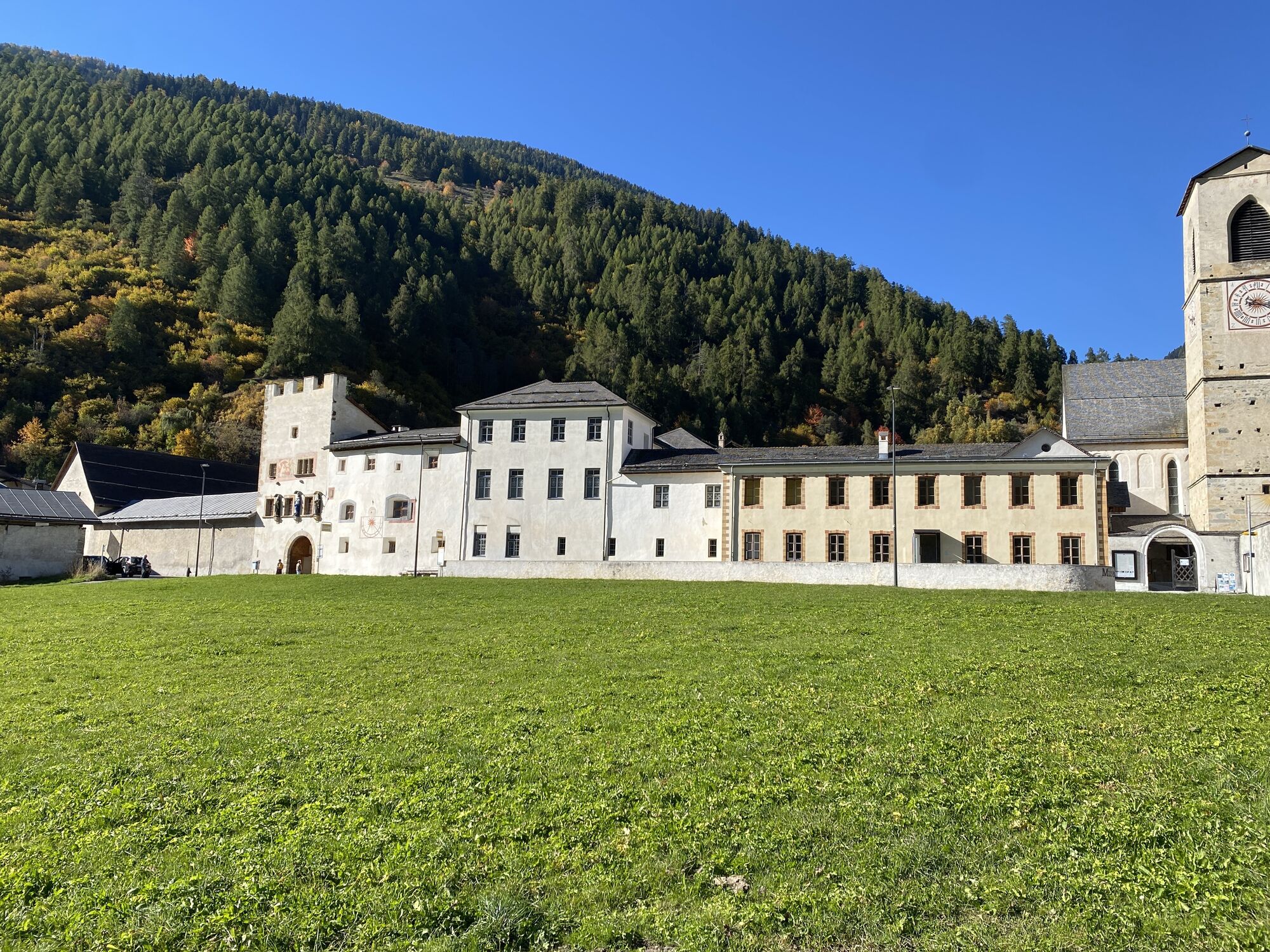
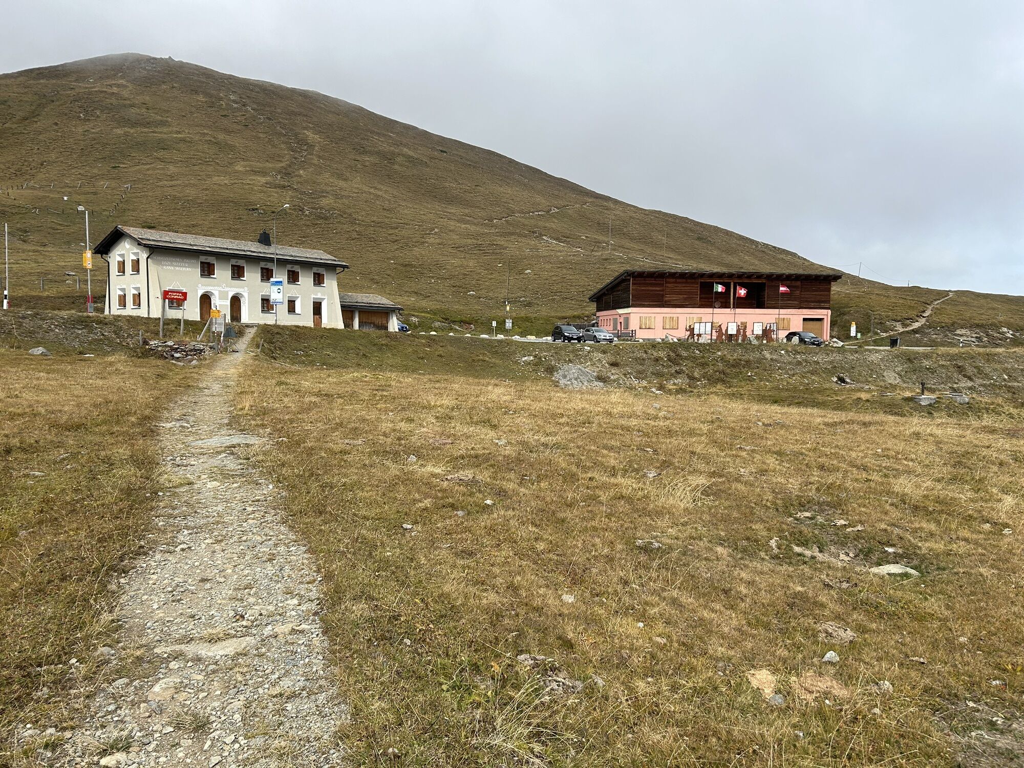
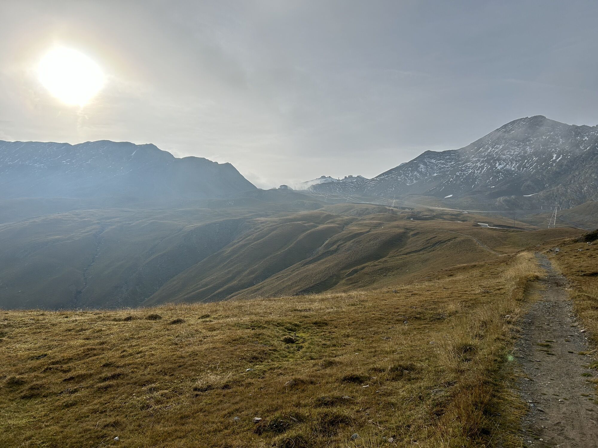
From Bormio, the route climbs along the Stelvio Road to the IV Cantoniera, where you leave the road leading directly to the pass and enter Swiss territory, reaching the Umbrail Pass at an elevation of 2,501 meters. From here, a long, scenic descent begins through the Val Müstair to Santa Maria Val Müstair.
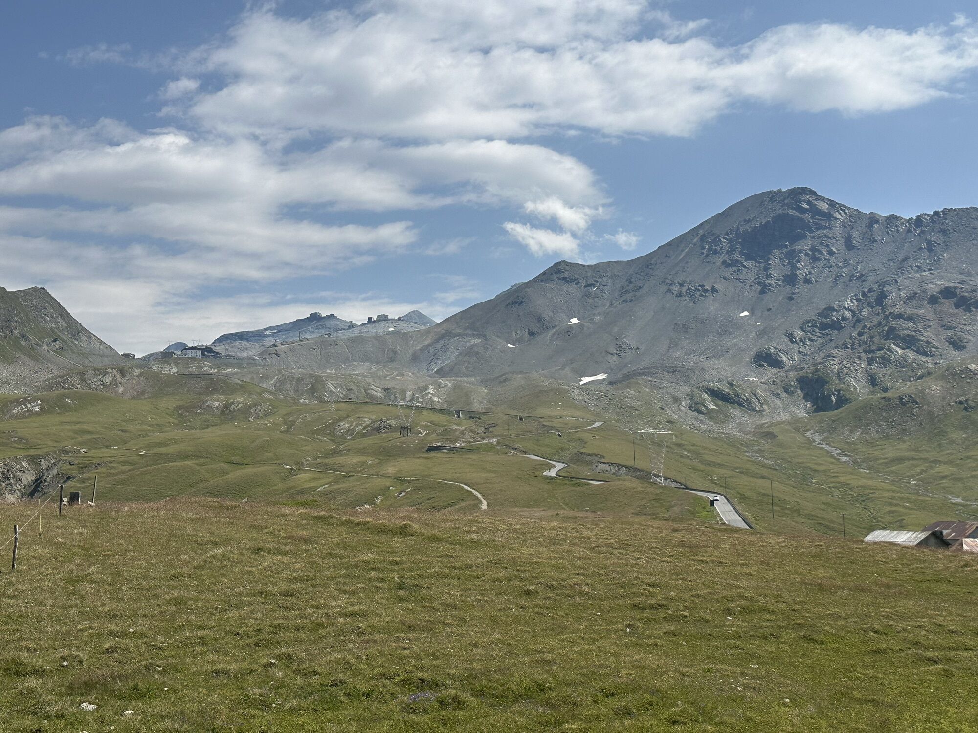
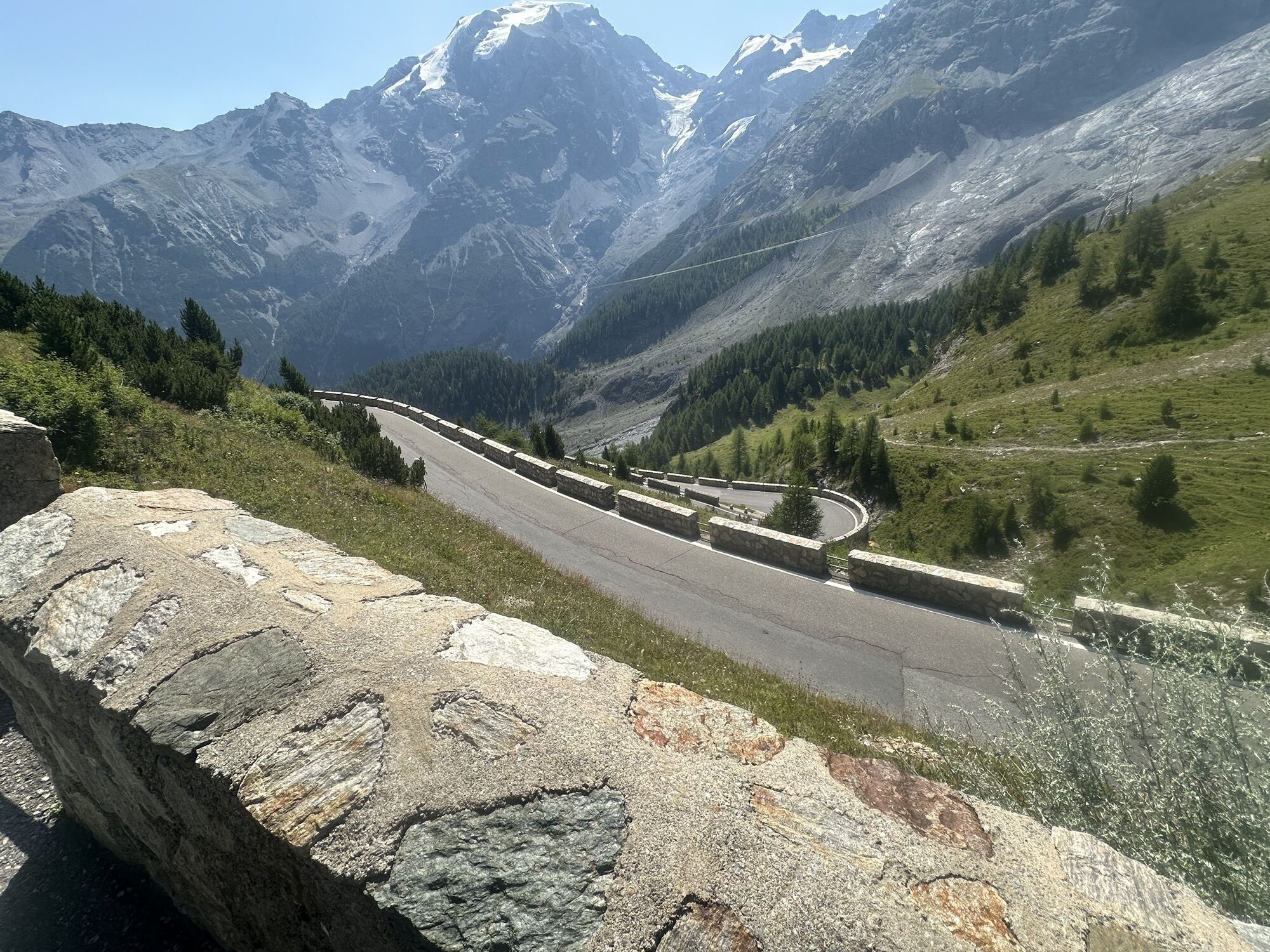
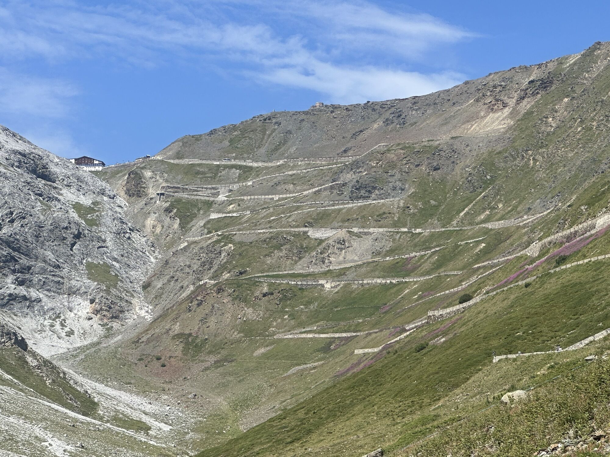
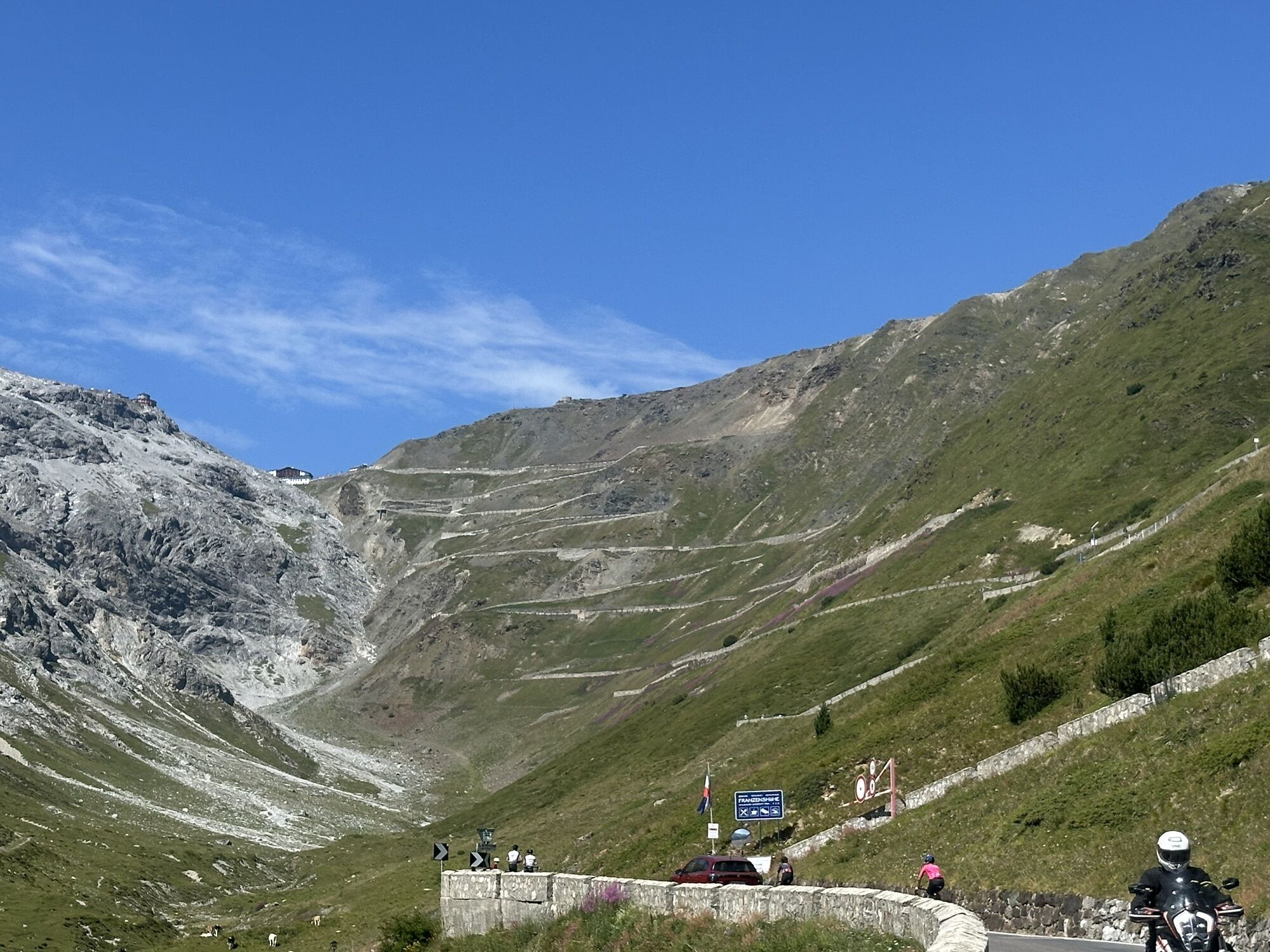
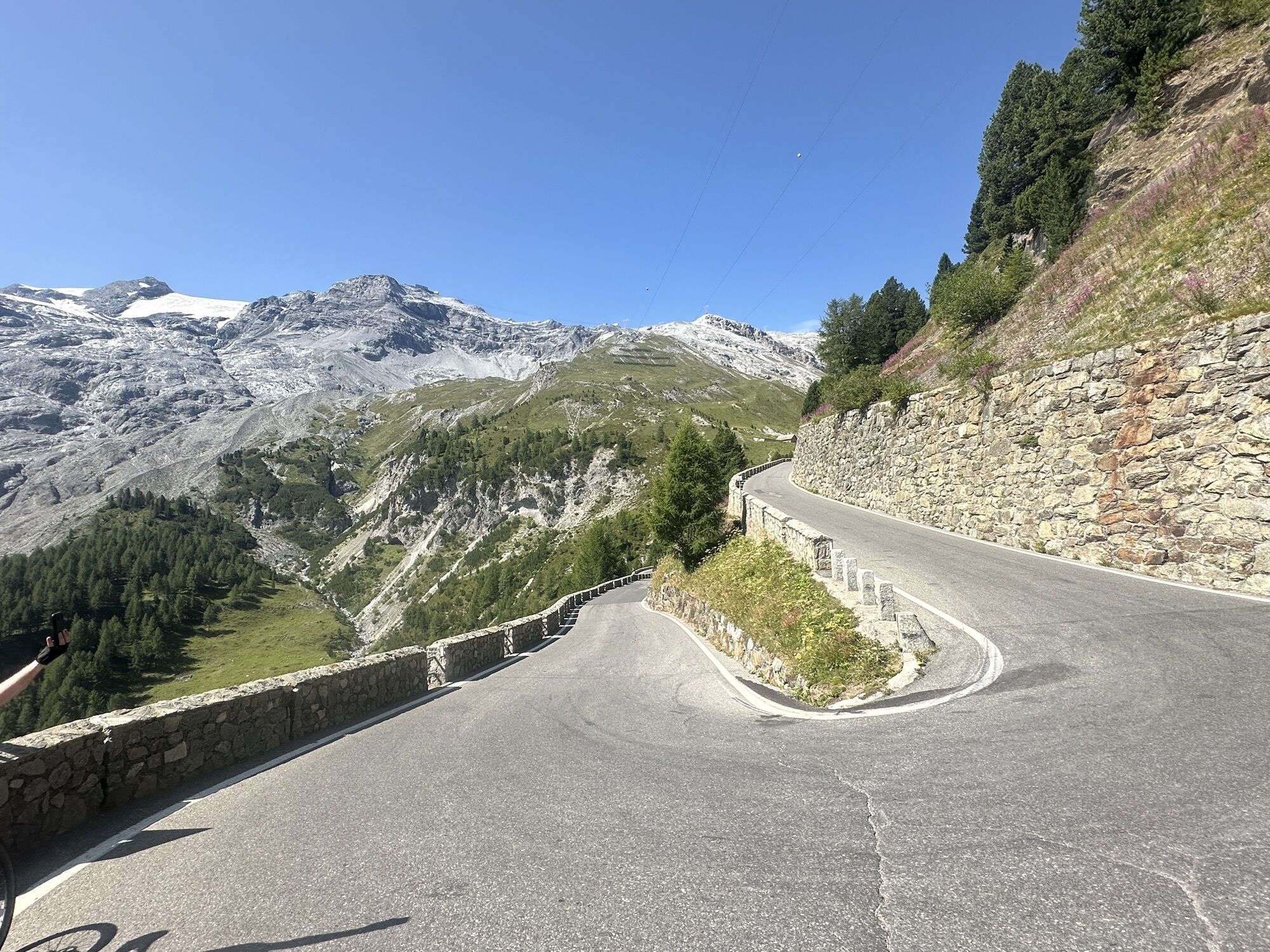
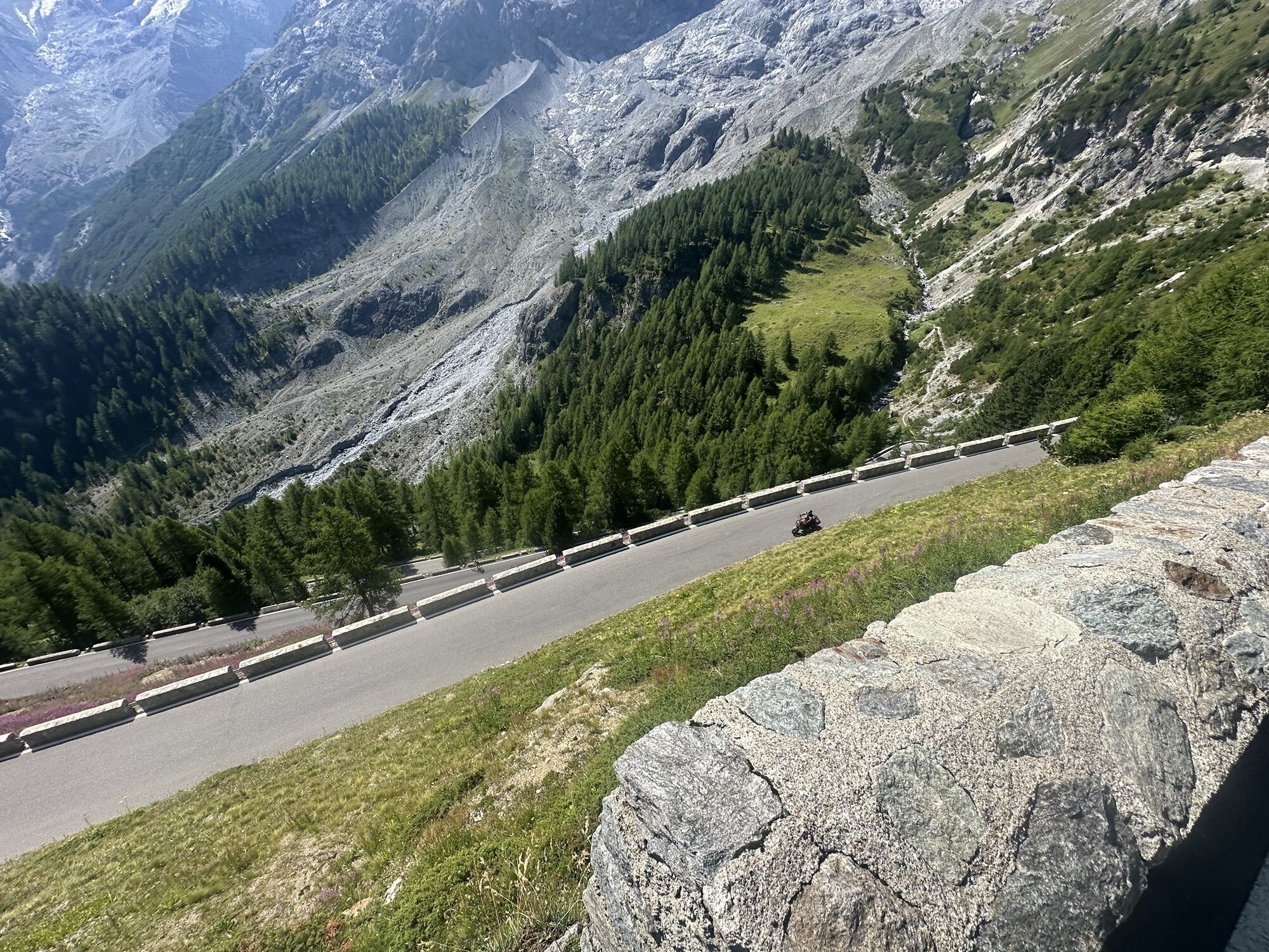
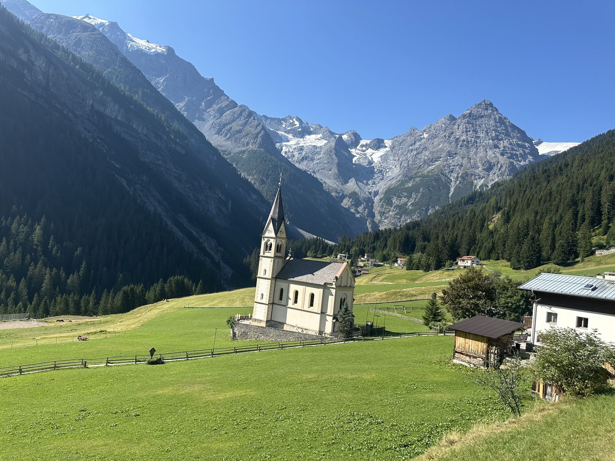
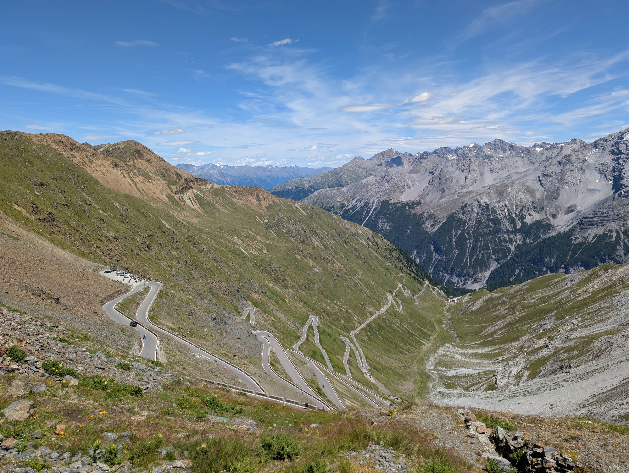
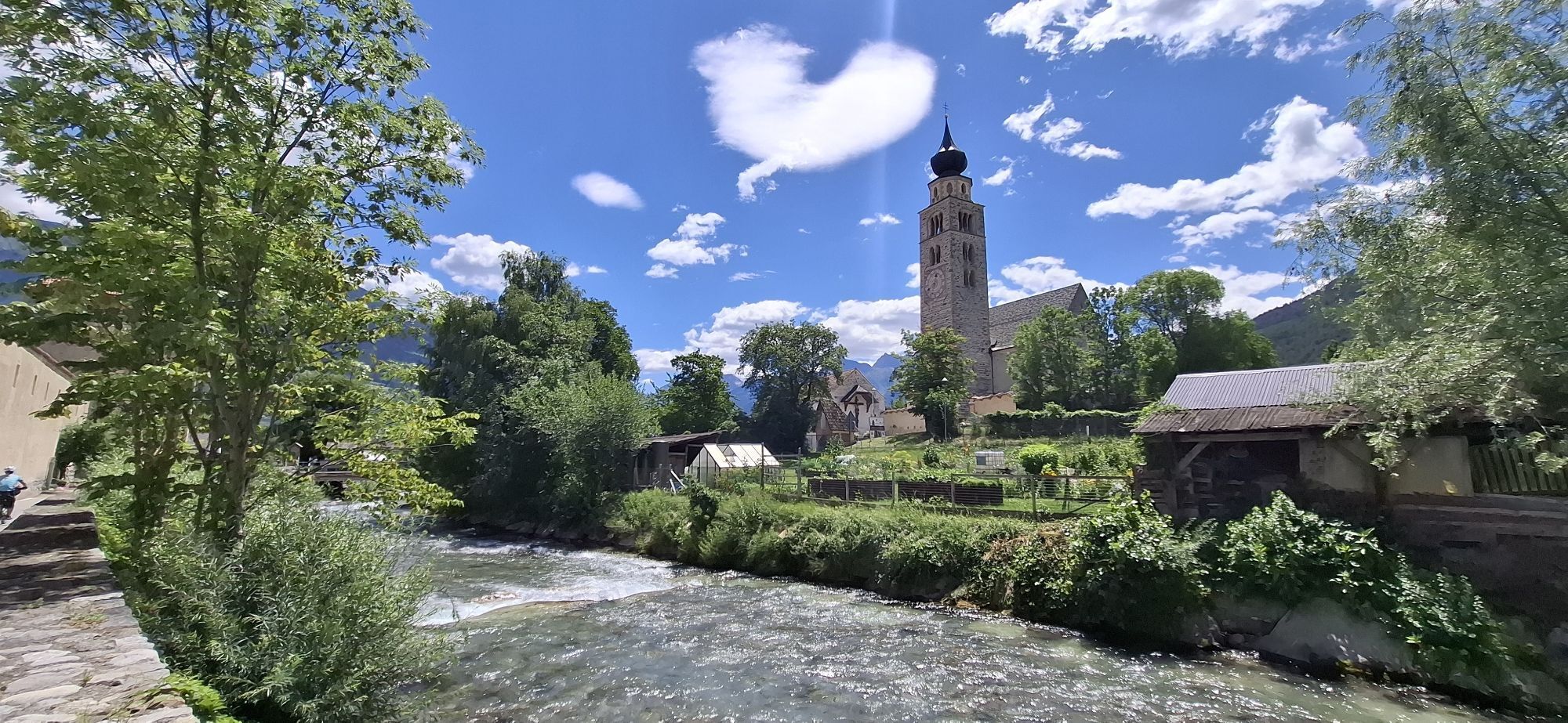
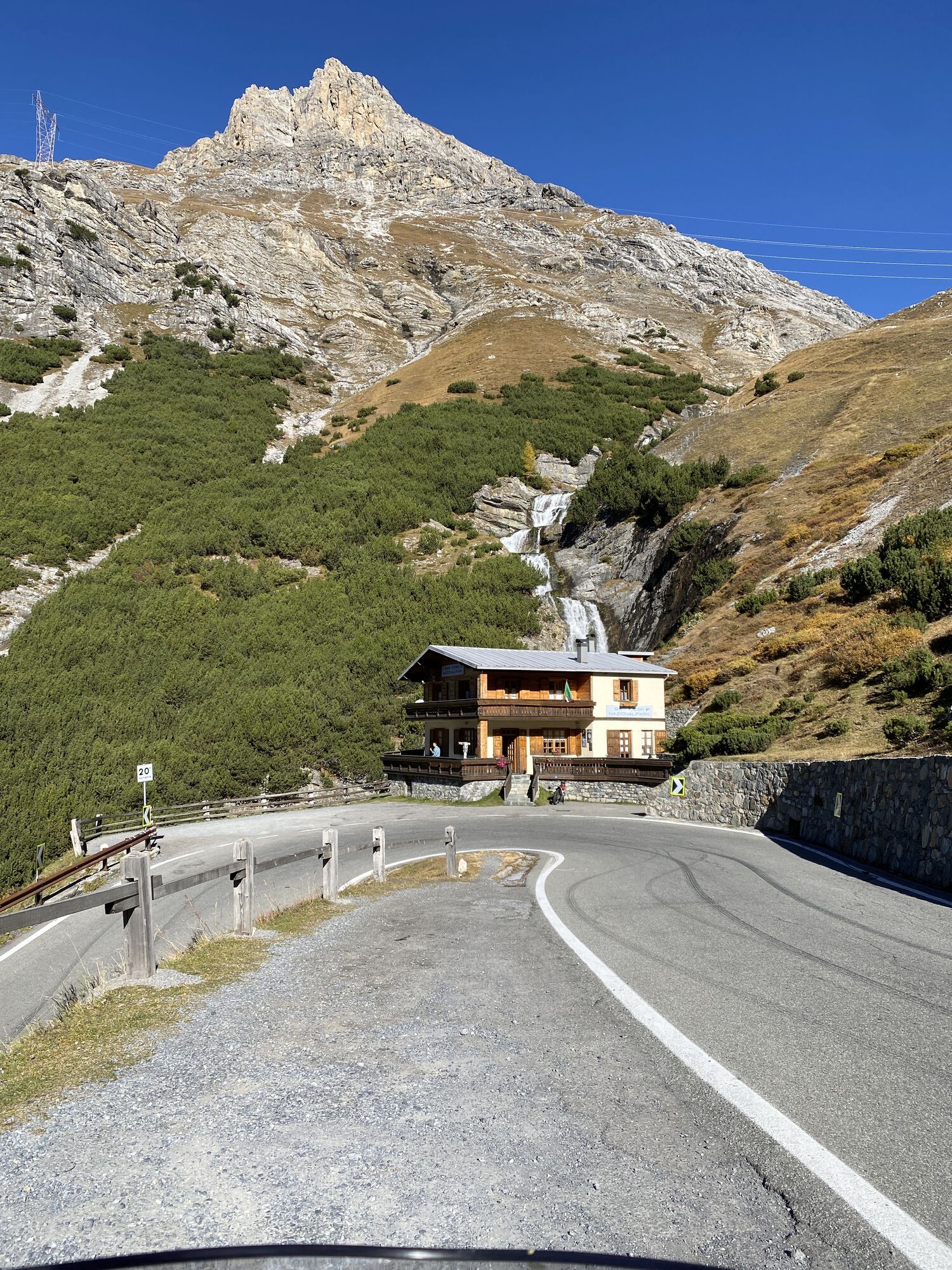
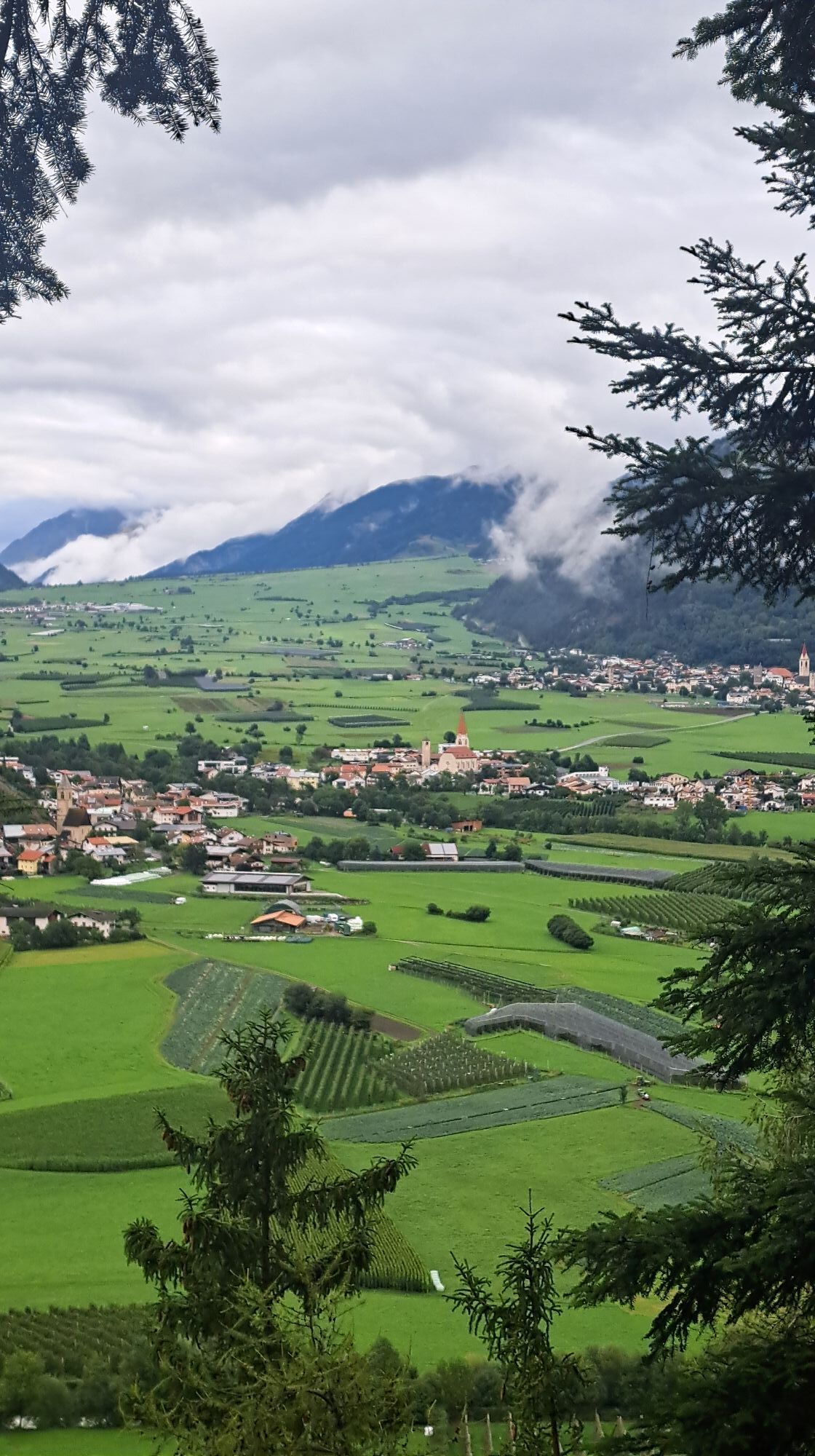
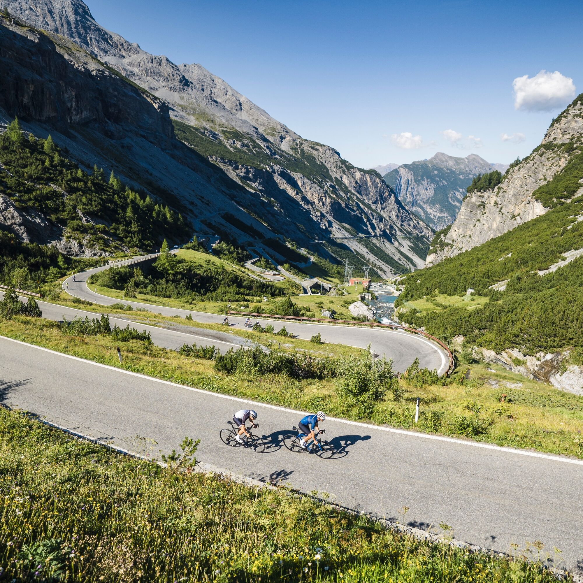
You then continue toward the valley floor, re-entering Italy and crossing the Val Venosta to Prato allo Stelvio. This is where the most challenging and spectacular part of the route begins: the climb up the Stelvio Pass from the South Tyrolean side, famous for its 48 hairpin turns and the long sequence of curves that, especially above Trafoi, wind along the mountainside.
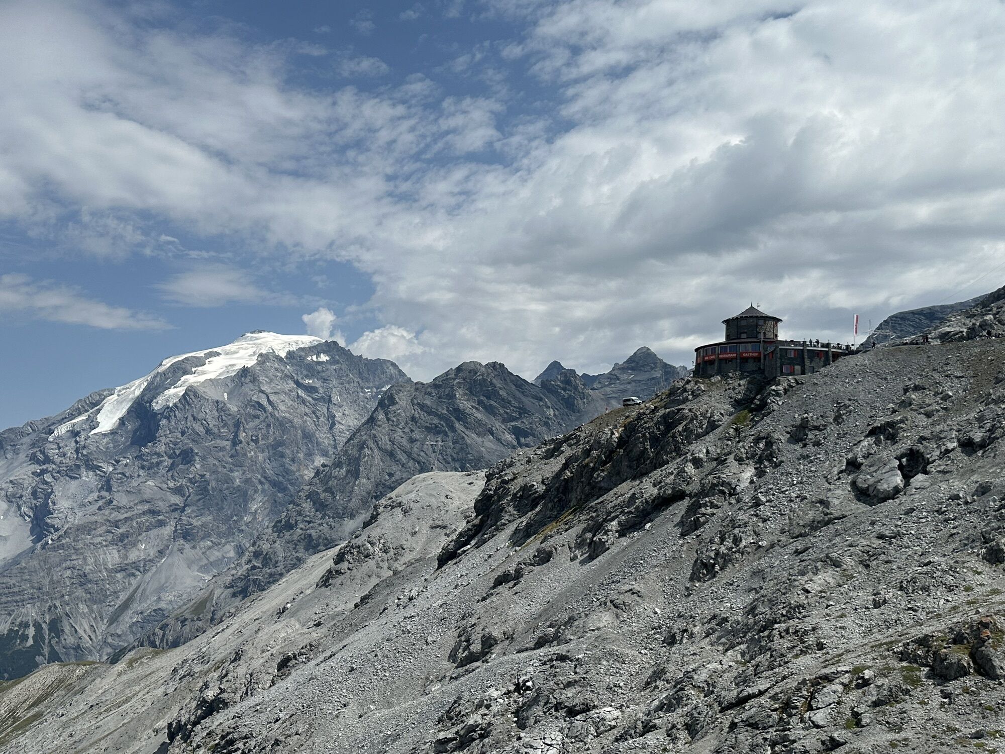
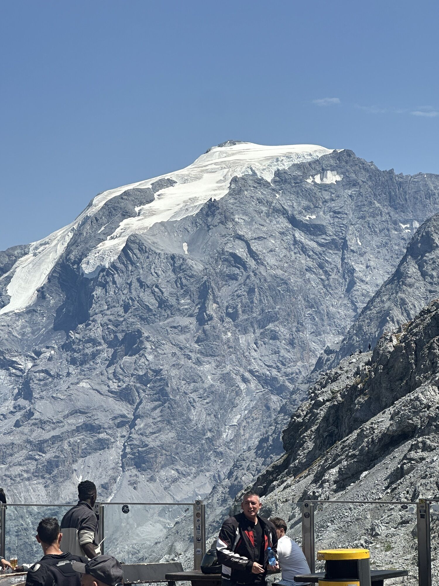
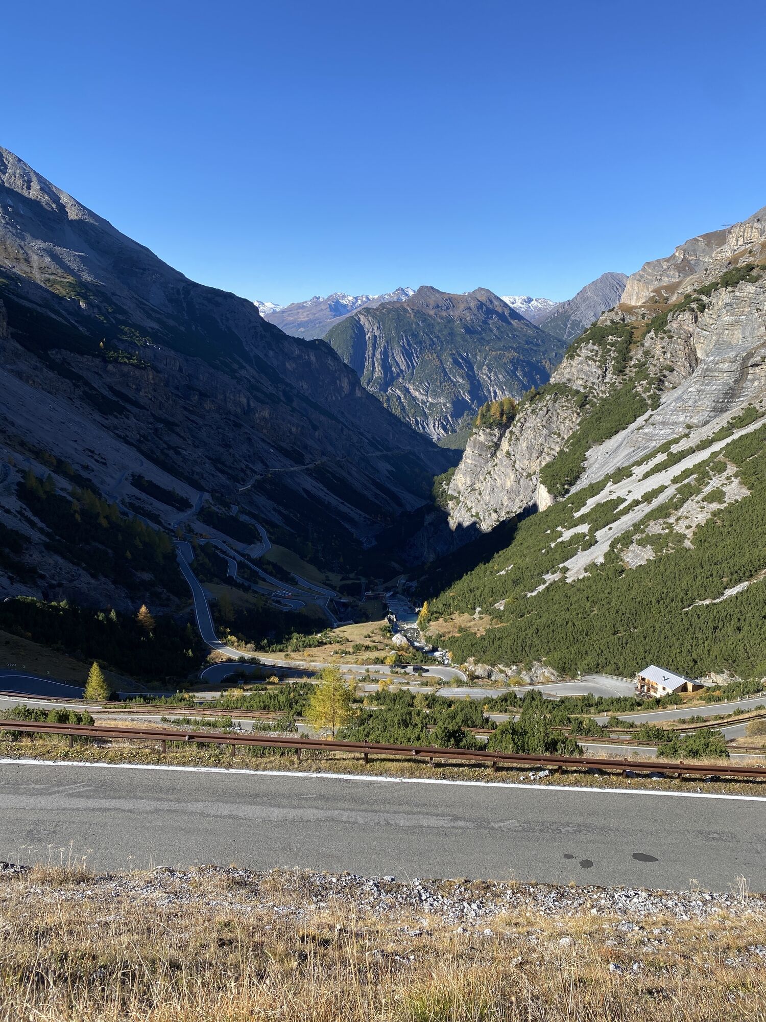
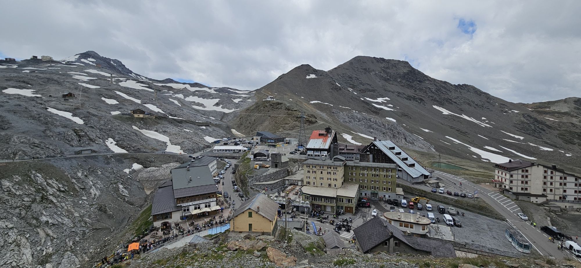
Once you reach the Stelvio Pass at 2,758 meters, the long descent to Bormio along the Valtellina side awaits, featuring another 40 hairpin turns. In total, the tour takes you through 88 hairpin turns on the Stelvio, covering both of its main slopes.
This is a highly rewarding route, but also very demanding in terms of distance, elevation gain, altitude, and duration; it should be tackled with adequate physical conditioning and under favorable weather conditions. The climb from Bormio to the Stelvio is approximately 21.5 km long, with an elevation gain of over 1,500 meters, while the route from Prato to the Stelvio is one of the longest and most famous climbs in the Alps.
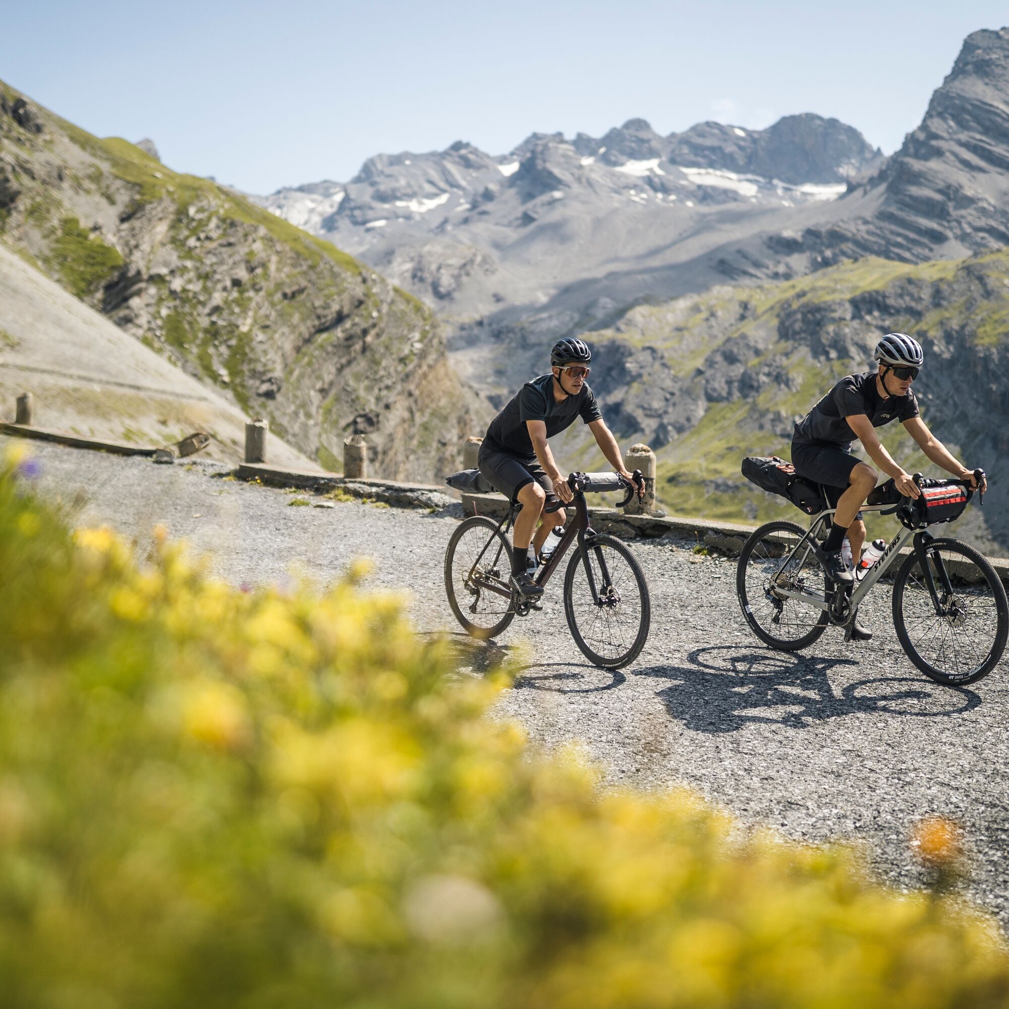
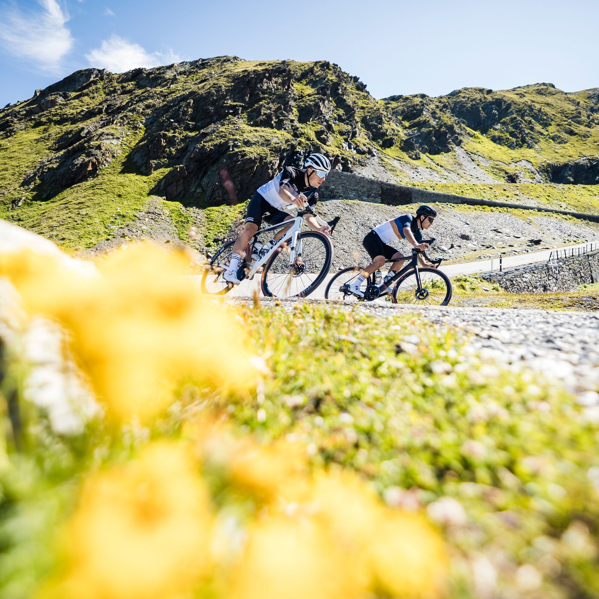

From Bormio, take State Highway 38 toward the Stelvio Pass and begin the long climb up the Valtellina side.
After passing the first hairpin turns and tunnels on the Stelvio Road, continue on to the IV Cantoniera area. Just before the final climb toward the Stelvio Pass, follow the signs on the left for Passo Umbrail / Santa Maria Val Müstair, entering Swiss territory.
Reach the Umbrail Pass (2,501 m) and continue downhill along the Umbrail Road to Santa Maria Val Müstair.
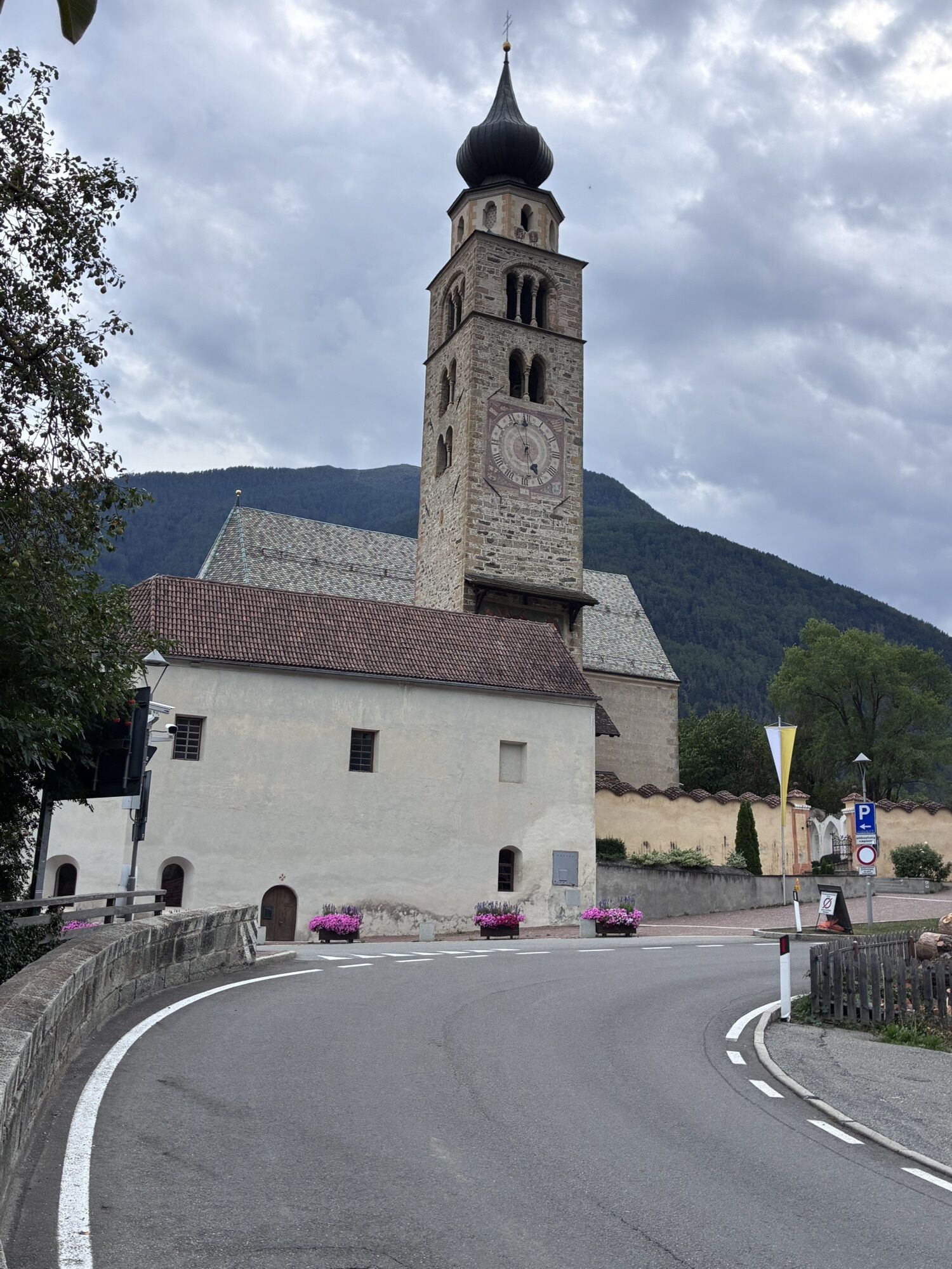
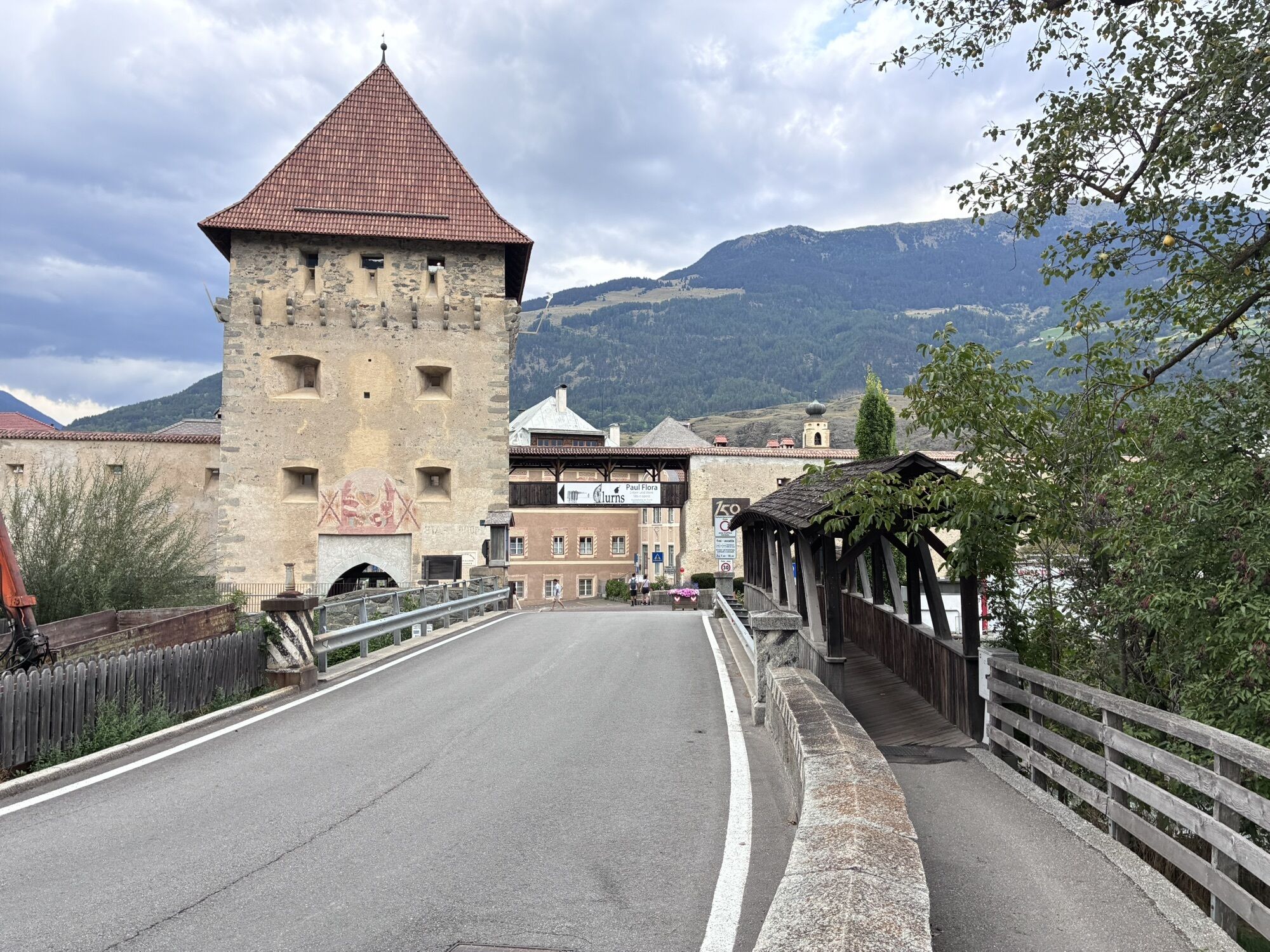
From Santa Maria, follow the main road along the Val Müstair toward Müstair – Tubre/Taufers, cross the Italian border again, and continue toward Glorenza/Glurns and then Prato allo Stelvio/Prad am Stilfserjoch.
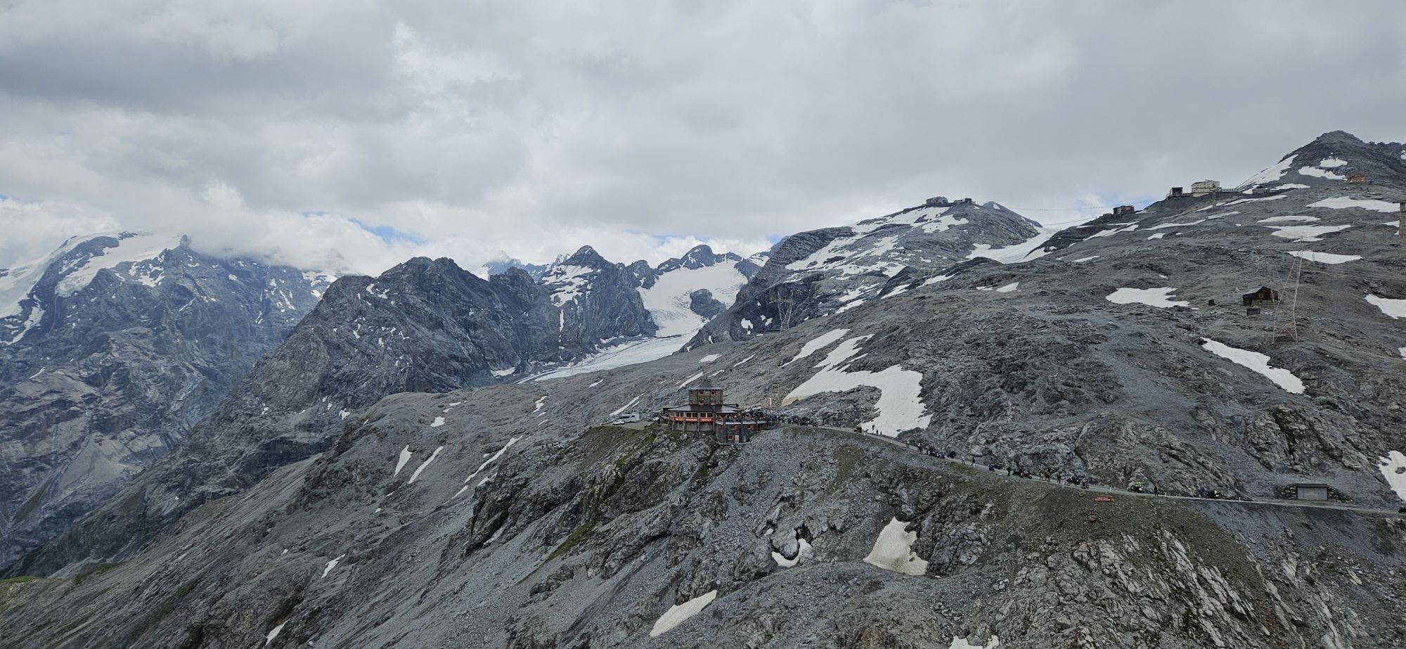
From Prato allo Stelvio, follow the signs for Passo dello Stelvio/Stilfser Joch, tackling the long climb that passes through Ponte Stelvio, Trafoi, and then the famous sequence of 48 hairpin turns on the South Tyrolean side. The climb ends at the Stelvio Pass (2,758 m).
From the pass, take State Road 38 toward Bormio and follow the entire descent down the Valtellina side back to the starting point.
A quick note on the title: for a tourist guide, I’d make it slightly more readable as “Tour of the Stelvio via the Umbrail Pass and Val Venosta,” possibly using “Bormio – Umbrail Pass – Prato allo Stelvio” – Stelvio Pass – Bormio as a subtitle or route description.
Road bike in perfect condition, with gear ratios suitable for long Alpine climbs, and a helmet.
We recommend:
technical layered clothing; a windproof and rainproof jacket; gloves and warm clothing for descents; at least two water bottles; enough food and drinks for several hours of activity; repair kit with inner tube or tubeless system, pump, and multitool; cell phone; a valid ID for international travel.Even in the middle of summer, it’s advisable to bring protective clothing for the descent from the Stelvio Pass.
This is a very challenging route, recommended only for cyclists who are in good physical condition and accustomed to long Alpine climbs.
The route follows roads open to traffic, including motorcycles and cars, except on days when the roads are closed to all traffic and reserved exclusively for cyclists. Exercise particular caution on descents and through the numerous hairpin turns.
Before setting out, always check:
that the Stelvio Pass and the Umbrail Pass are open; weather conditions at high elevations; any temporary road closures.Conditions can change rapidly above 2,000 meters, and temperatures at the Stelvio Pass can be much lower than in the valley below.
The route enters Switzerland for a few kilometers: be sure to bring a valid ID for international travel.
By public transportation: Take the train to Tirano and then continue by local bus to Bormio. Before your trip, check schedules, connections, and whether bicycles are allowed on the bus.
If you’re traveling with your own bicycle, we recommend booking bike transport with Perego at least 24 hours before departure.
Check the Perego Bus schedule: https://www.busperego.com
Check the Trenitalia schedule: https://www.trenitalia.com
Among the most convenient options are the parking lots near the Bormio ski lifts and at the entrances to the town; however, you should always check on-site for any restrictions, rates, or temporary traffic changes.
The best time to visit is generally during the summer months and early fall, when the mountain passes are open. However, the opening of the Alpine roads depends on snow and weather conditions.
Given the length of the route and the significant elevation gain, it is important to carefully calculate travel times, rest stops, and the available daylight hours.
On the busiest days, traffic along the Stelvio Pass can be heavy: whenever possible, aim to travel in the early morning hours or on days when the pass is scheduled to be closed to traffic.
Setting out early in the morning allows you to tackle the most challenging part of the day when temperatures are more favorable and, generally, there’s less traffic.
It’s best to pace yourself during the first part of the route: the real challenge of the day begins at Prato allo Stelvio, when you’ll face the long climb up to the 2,758-meter pass.
Plan for at least one stop to restock on water and food before beginning the second major climb.
Kamery internetowe z trasy
Gasthaus Alpenrose - Minschuns
Bormio 2000
Piste Stelvio
Bormio 2000
Bormio 2000
Bormio 2000
Bormio 2000
Bormio 2000
Bormio 2000
Prad am Stilfserjoch
Mals im Vinschgau - Hotel Greif
Taufers im Münstertal
Fuldera - Hotel Landgasthof Staila
Fuldera
Mals - Sockerhof
Watles
Prad am Stilfserjoch
Piz Chavalatsch
Mals Vinschgau
Camping Mals
Trafoi
Müstair - Hotel Helvetia
Stilfs - Stelvio
Stilfser Joch - Tibet Hütte
Trafoi - Furkelhütte
Bormio Terme
Bormio Terme
Bormio Terme
Prad
Prad
Piazza Kuerc
Piazza Kuerc
Piazza Kuerc
Piazza Kuerc
Uzza - Valfurva
Taufers im Münstertal
Müstair
Montoni
Teleir - Oga
Teleir - Oga
Uzyskaj wgląd Zawsze na żywo z ponad 9 500 kamer internetowych. bergfex Jako użytkownik Pro, możesz teraz zobaczyć odpowiednie kamery internetowe dla wielu wycieczek w aplikacji wycieczki od. Pozwala to na bezpośredni podgląd aktualnych warunków. Popularne wycieczki w okolicy
- 5,0
Mountain restaurant Plantaptasch (without Lift)
średniWędrówka 3,42 km - 4,2
Orgelspitze (Laaser Spitze)
światłoWycieczka wysokogórska 11,8 km - 3,7
Düsseldorfer Hütte 2721m
średniWędrówka 4,14 km - 4,9
Lyfispitze
średniWędrówka 12,3 km - 3,7
Payerhütte 3020m
Wędrówka 6,98 km - 4,2
Haidersee - Graun - Trentino-Alto Adige/Südtirol/Italia
światłoWędrówka 4,99 km - 4,8
Göflaner Marmorweg
średniTrasa tematyczna 7,06 km - 4,5
Sonnenaufgang auf der Rötelspitze im Nationalpark Stilfserjoch
Wędrówka 2,02 km - 5,0
Wanderung/Aufstieg zur Payerhütte
światłoWędrówka 15,9 km - 3,6
Easy hiking rout to the top of the Watles Moutain (2.550 m)
średniWędrówka 2,35 km
Wędrówki i tropienie


Nie przegap ofert i inspiracji na następne wakacje
Twój adres e-mail została dodana do listy mailingowej.





