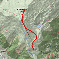
Dane wycieczki
3,42km
1.719
- 2.130m
377hm
377hm
02:00h

- Krótki opis
-
Wanderung von der Talstation Watles bis zur Plantapatschhütte (ohne Lift)
- Stopień trudności
-
średni
- Ocena
-
- Punkt wyjścia
-
Valley station Watles
- Trasa
-
Prämajur - Pramaggiore0,0 kmHöferalm2,5 kmBergrestaurant Plantapatsch Hütte3,4 km
- Najlepszy sezon
-
stylutmarkwimajczelipsiewrzpaźlisgru
- Najwyższy punkt
- 2.130 m
- Miejsce docelowe
-
Mountain station Watles
- Odpoczynek/Odosobnienie
-
Alpine pastures Höfer Alm and Plantapatsch


GPS Downloads


Warunki na szlaku
Asfalt
Żwir
Łąka
Las
Skała
Wyeksponowany
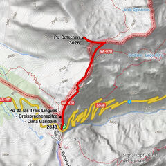
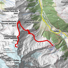
Więcej wycieczek w regionach
-
Vinschgau
1285
-
Obervinschgau
452
-
Watles
118