



Santa Cristina Pass (from Tirano - Stazzona)

Poziom trudności: 4
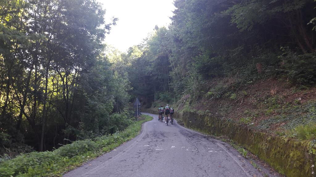
This climb starts at km 7 of the SS.39 at about 780 m a.s.l. and reaches the pass, at 1427 m a.s.l., with an average gradient of 8.2% and a maximum of 14%. This ascent was revealed to the cycling community...
This climb starts at km 7 of the SS.39 at about 780 m a.s.l. and reaches the pass, at 1427 m a.s.l., with an average gradient of 8.2% and a maximum of 14%. This ascent was revealed to the cycling community during the 1994 Giro d'Italia, when Marco Pantani outdistanced Indurain and arrived all alone to Aprica. You will reach this ski resort after a total climb of almost 12.5 km, either from Tresenda or Stazzona, turning left into the mountain road to Santa Cristina. After about 1 km, the ascent becomes demanding and the gradient remain steep until a place called Mezzamonte, where a group of huts offer a good landmark after so many roads criss-crossing the dense wood. There are several long straight sections where it is impossible to release the big effort. Once you have finally reached the pass, the road becomes gentle and at the crossroad you can choose if you prefer to go on towards Trivigno, suffering again for a while, or to go down to the nearby town of Aprica.


4
Popularne wycieczki w okolicy
-
4,5
Rifugio Curo’ e lago del Barbellino - lago naturale del Barbellino - lago Gelt
ciężkiWędrówka 26,4 km -
4,0
Giro del Lago - Le prese - Miralago
światłoWędrówka 7,43 km -
Val dal Saient - Short version
Wędrówka 11,4 km -
5,0
32.05 Poschiavo - Tirano, Trans Altarezia Bike
ciężkiMountainbike 29,1 km -
Szlak Valtellina
średniJazda na rowerze 113,2 km -
33.10 Le Prese - Tirano, Via Albula / Bernina
średniWędrówka 14,6 km -
Charcoal Burner Route San Romerio
ciężkiTrasa tematyczna 2,91 km -
3,0
Gentle Forest Trail
światłoWędrówka 4,46 km -
5,0
Pian di Gembro Nature Reserve loop (1350 m)
światłoWędrówka 4,81 km -
30.07 S. Romerio - Tirano (I), ViaValtellina
ciężkiWędrówka 12,2 km
Wędrówki i tropienie


Nie przegap ofert i inspiracji na następne wakacje
Twój adres e-mail została dodana do listy mailingowej.


