







Charcoal Burner Route San Romerio

Poziom trudności: T1
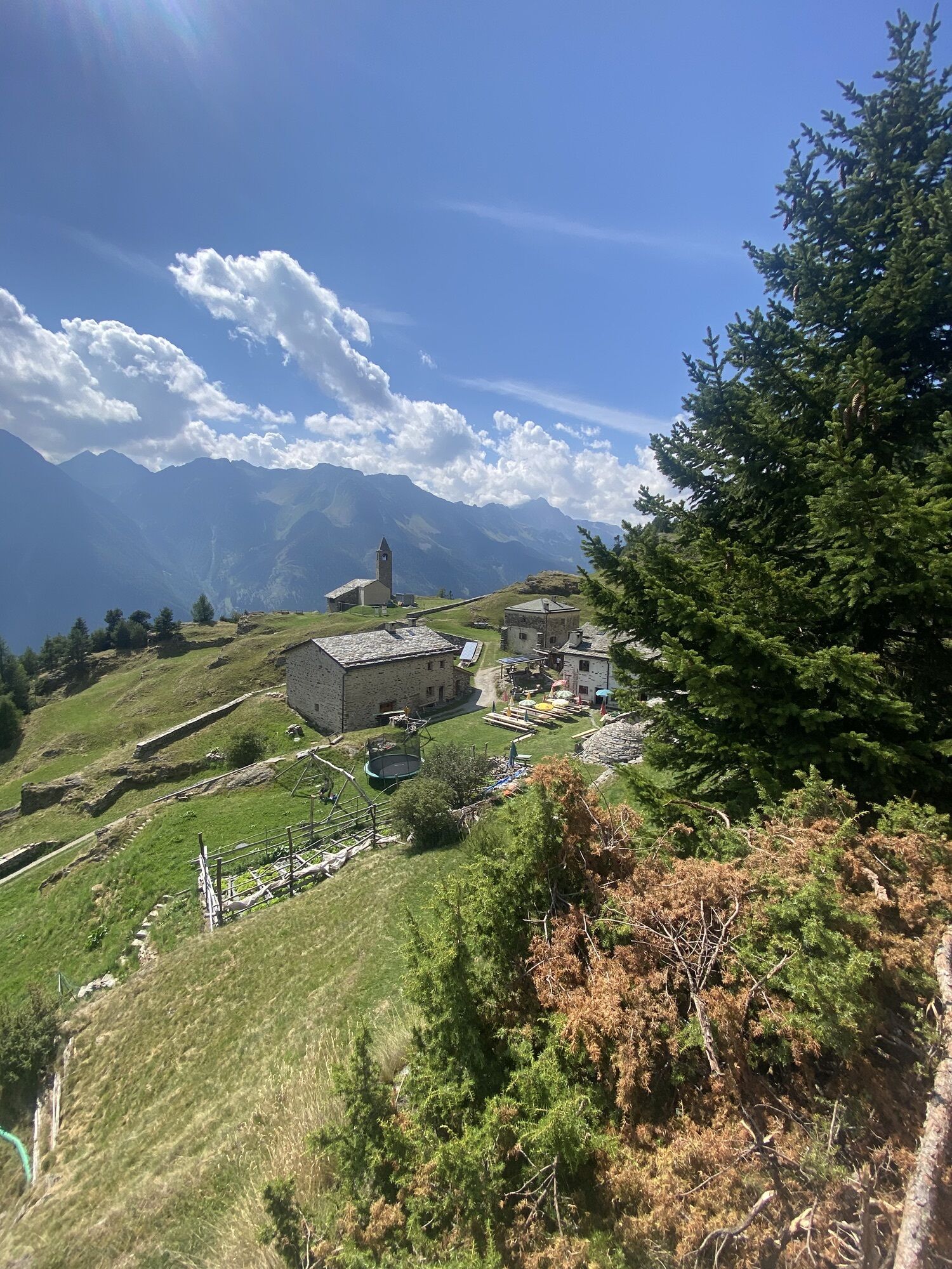

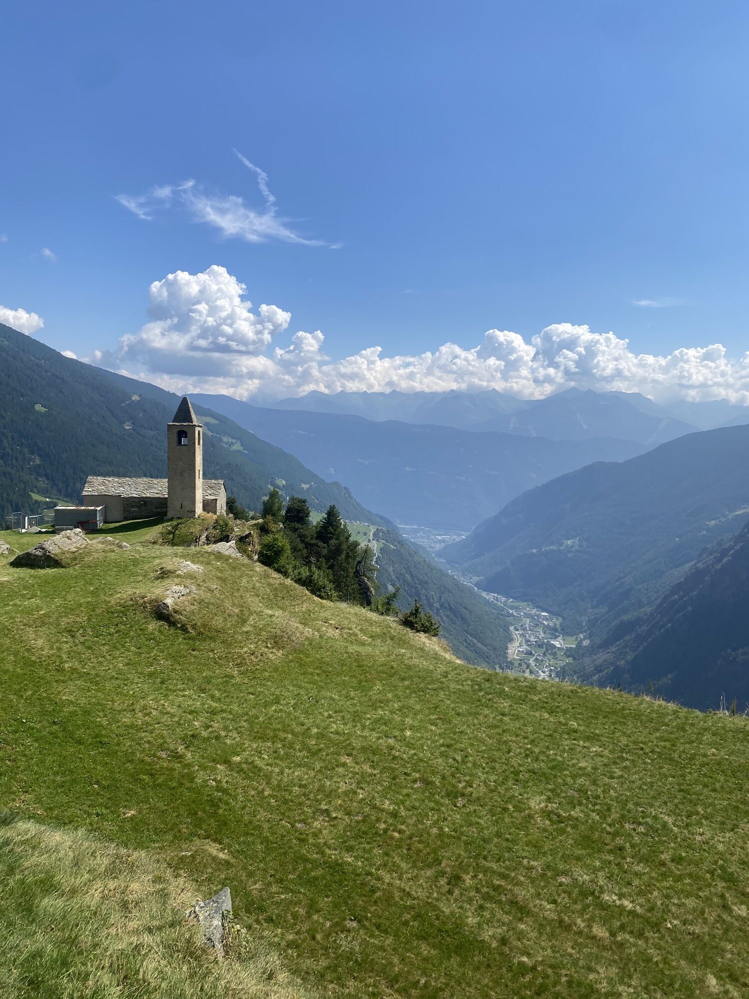
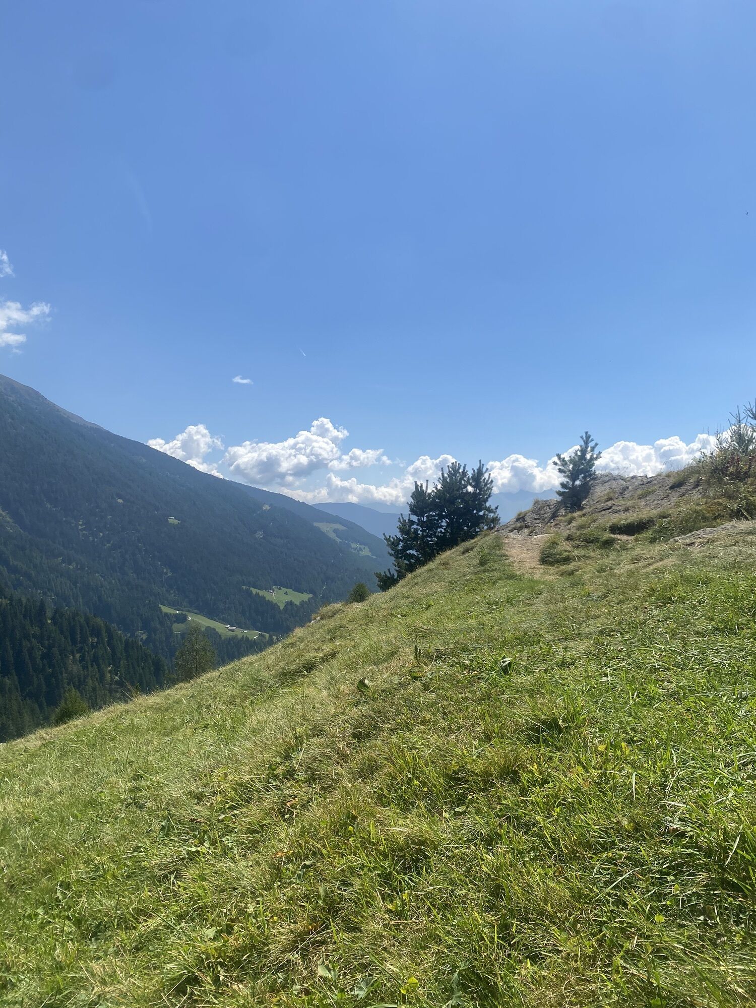
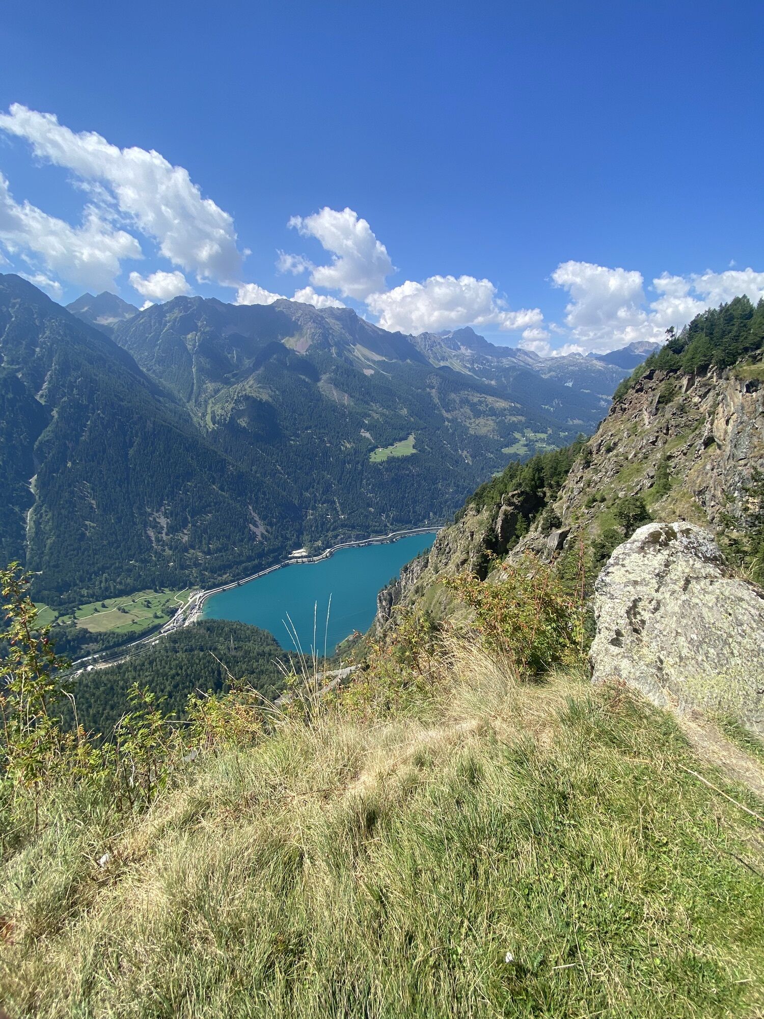
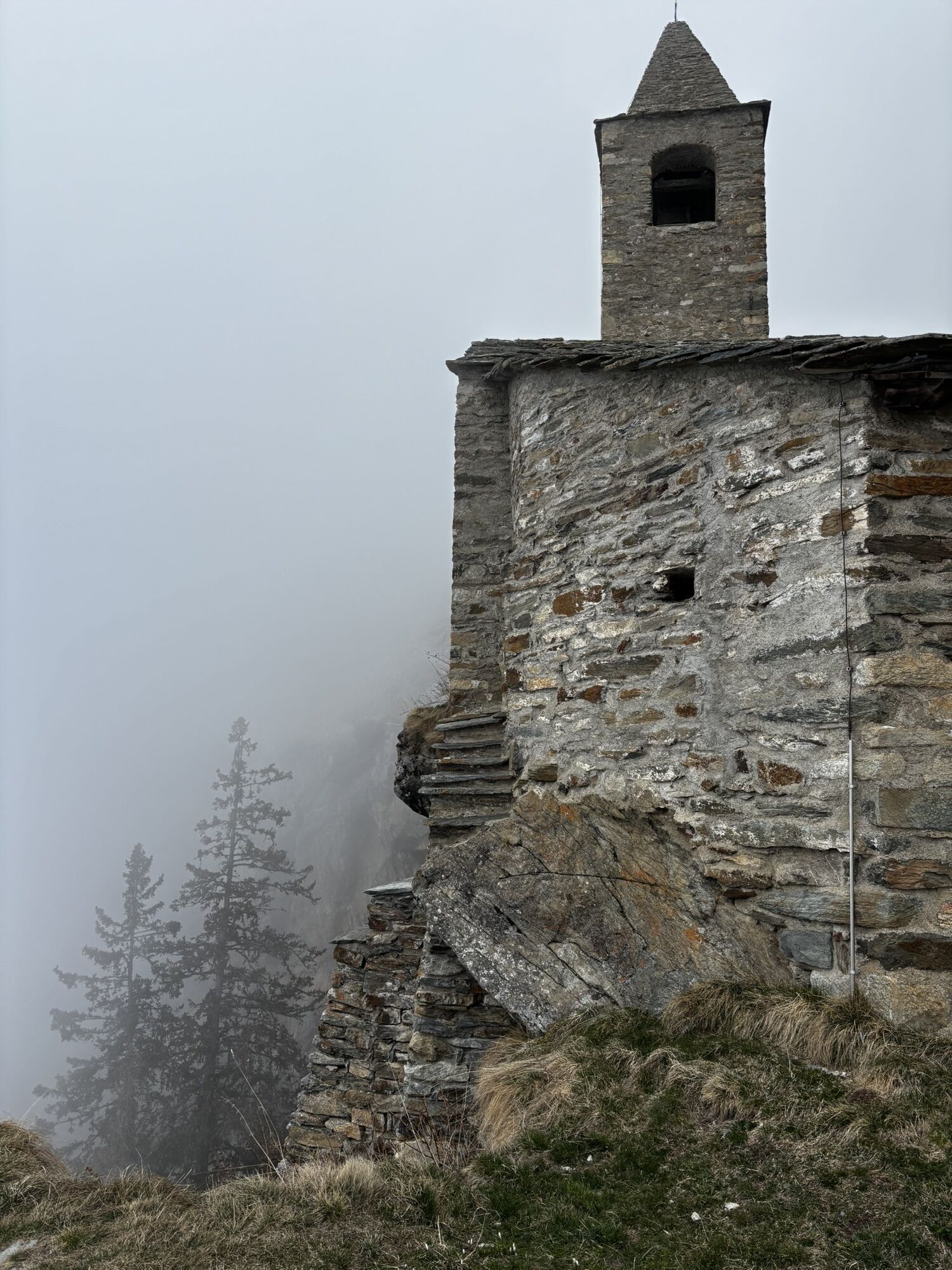
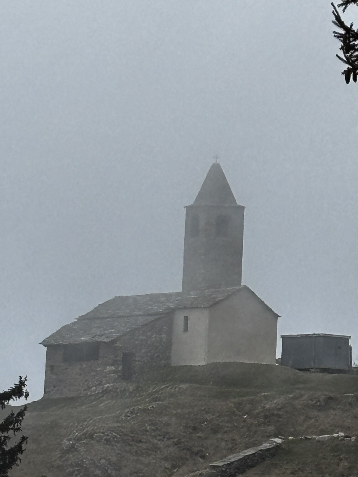
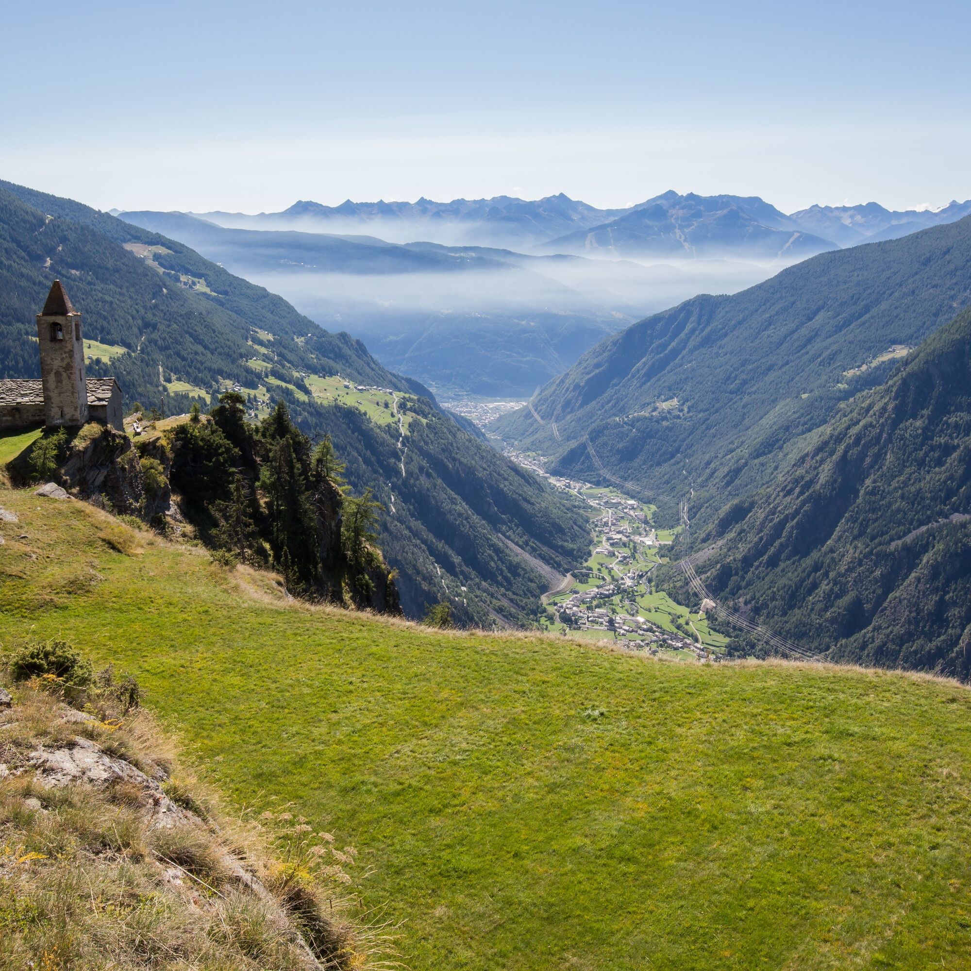
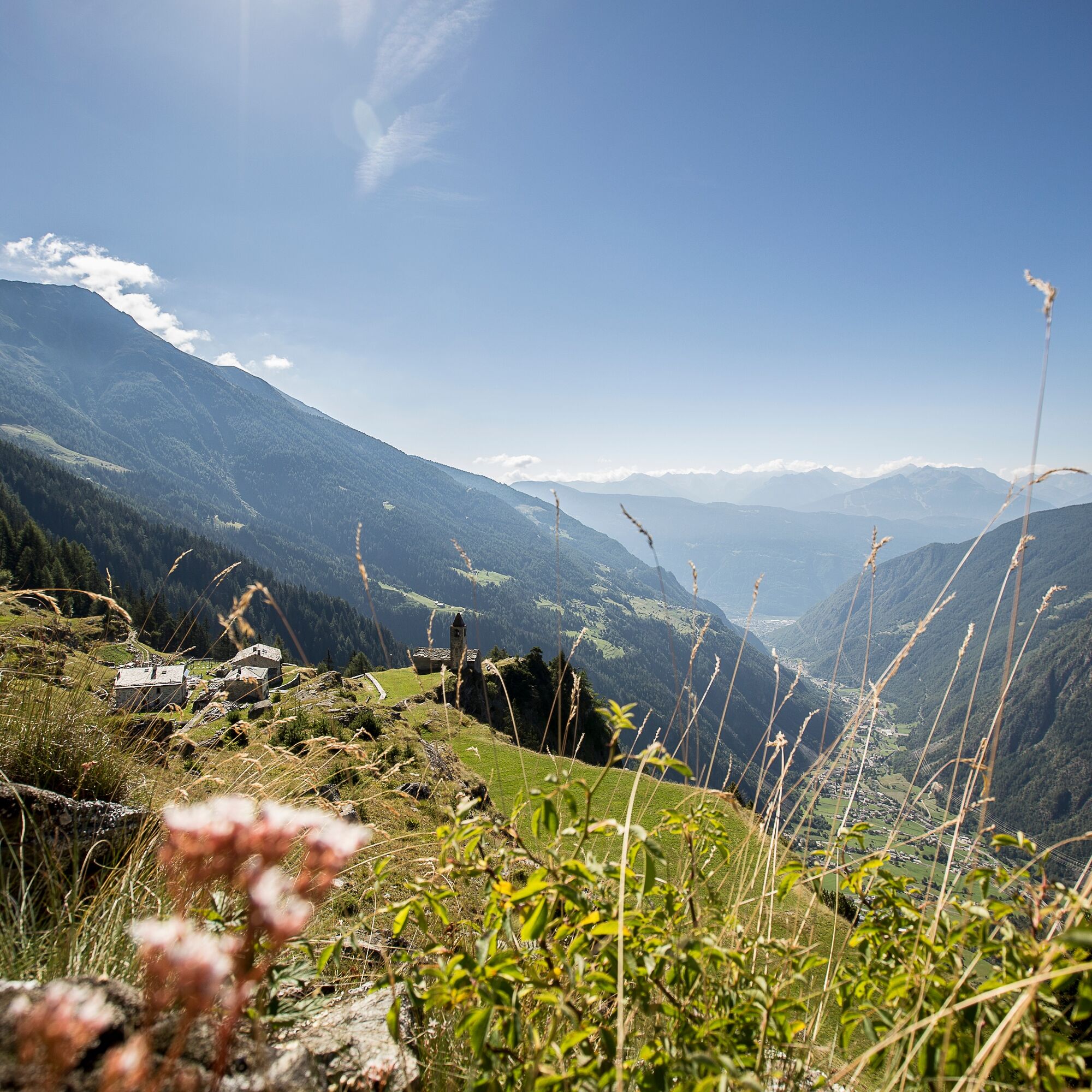
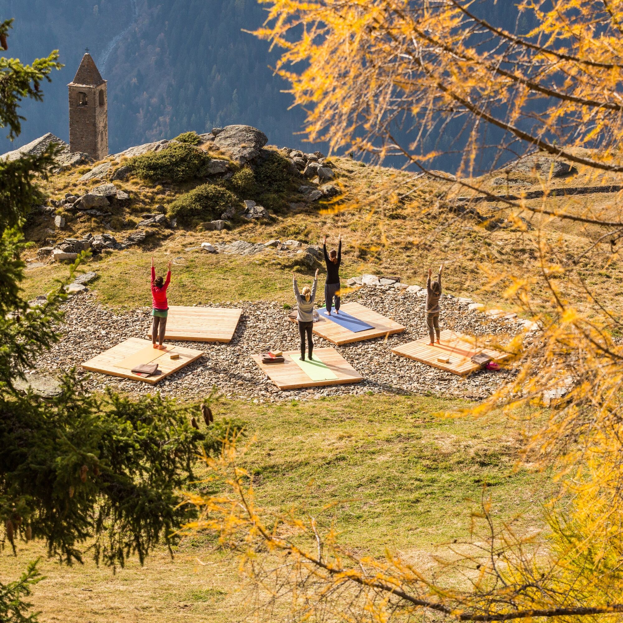
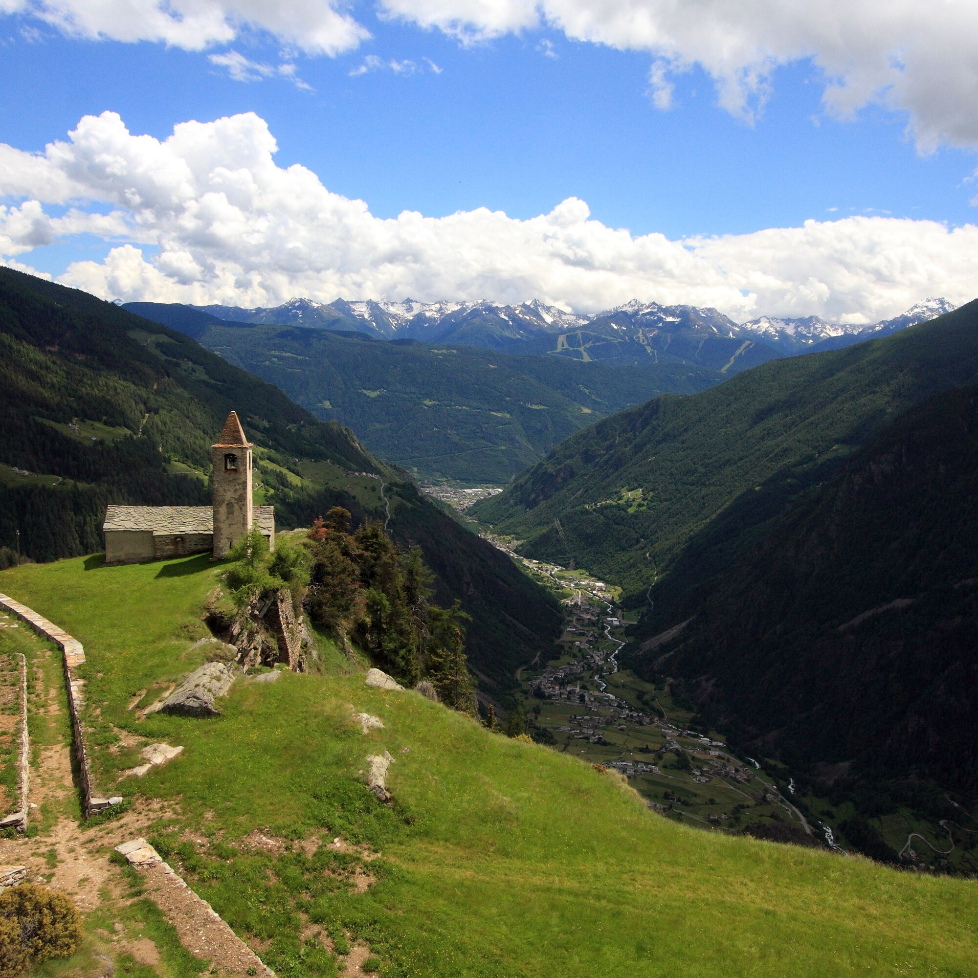
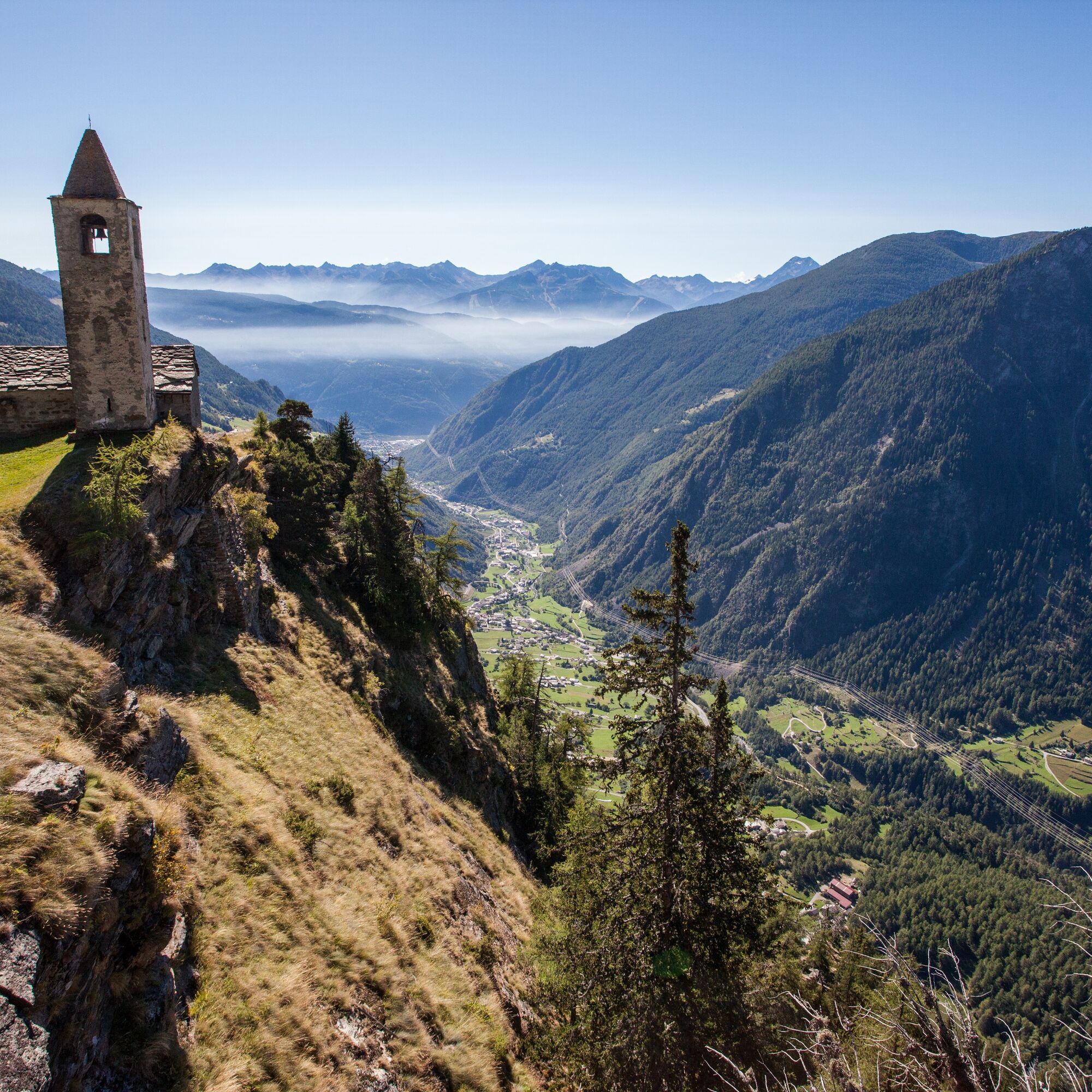
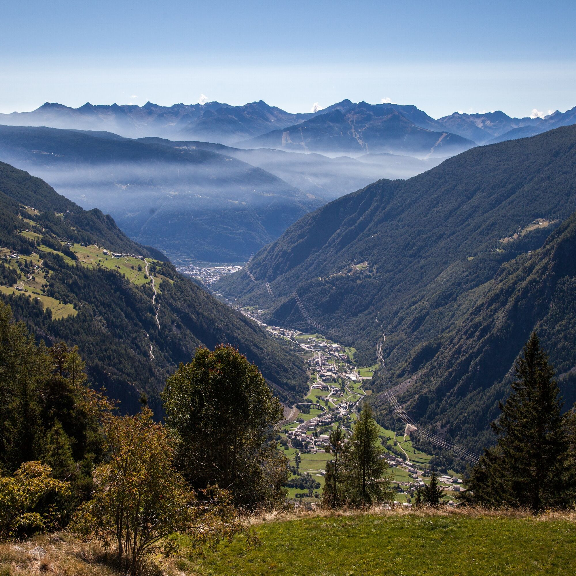
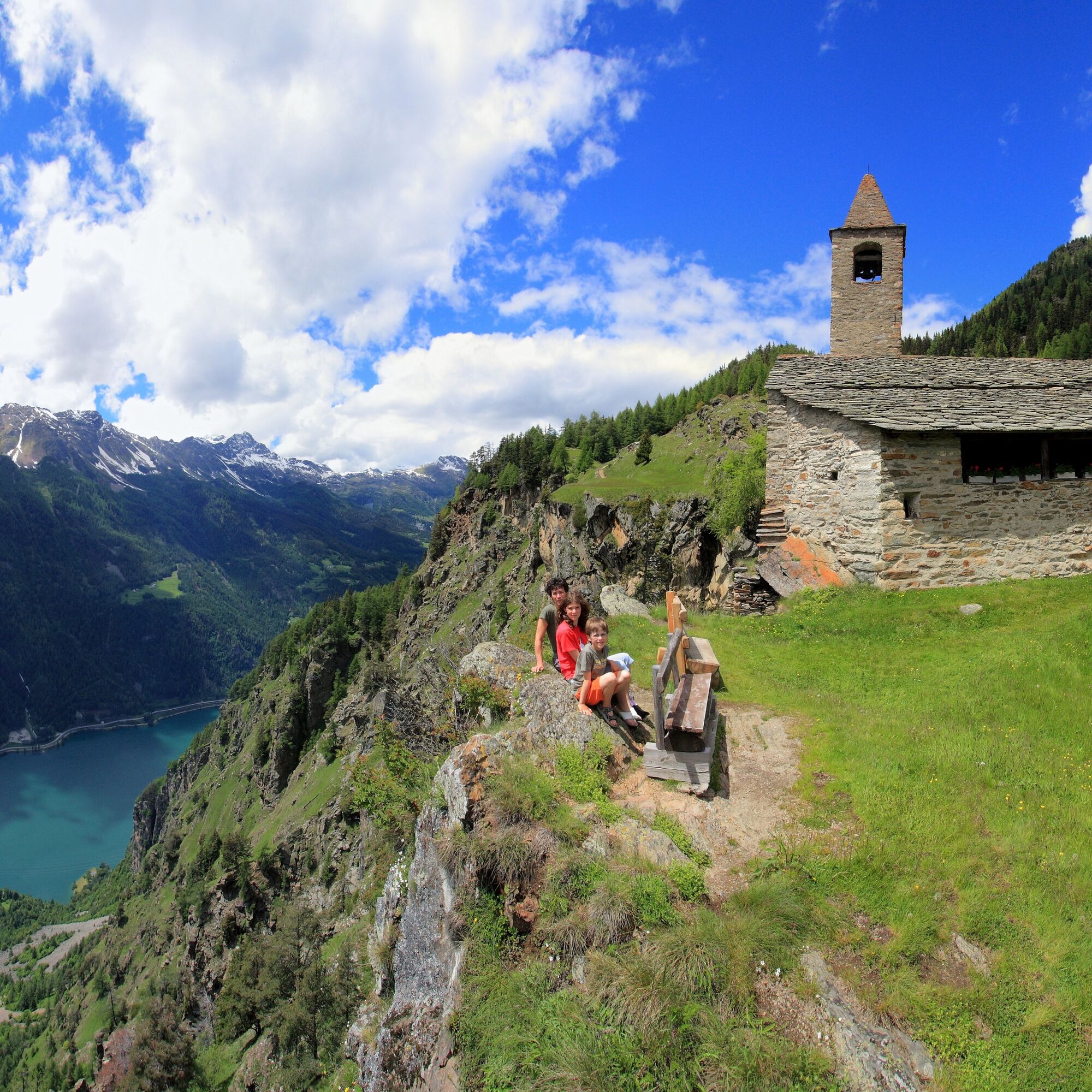
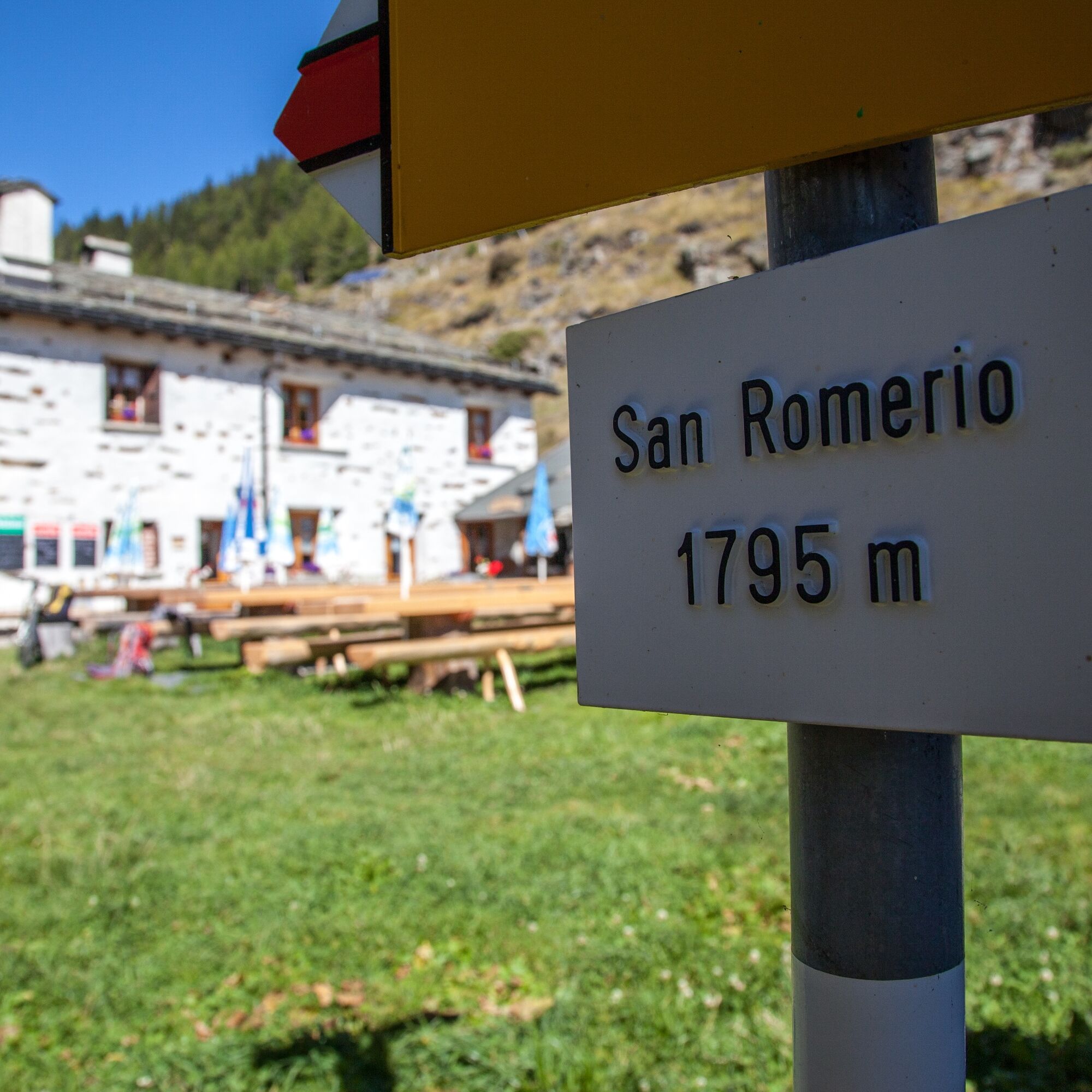
The hike starts in Piaz (accessible by car or on-call bus). On a gravel road, it gently ascends across meadows and through a fir and larch forest to San Romerio. After about 30 minutes, you reach San Romerio....
The hike starts in Piaz (accessible by car or on-call bus). On a gravel road, it gently ascends across meadows and through a fir and larch forest to San Romerio. After about 30 minutes, you reach San Romerio. The actual Charcoal Burner Route begins above the meadow and gardens of San Romerio. First, you follow the red-white marked hiking trail for 150 meters until a narrow path branches off to the left, marked with a wooden arrow. Following the arrows, you arrive at the perfectly preserved charcoal pile, where charcoal was once produced. Afterwards, you reach the highest point of the hike (1975 meters above sea level). The return path leads
past a picnic area. After leaving the forest, it goes along a well-preserved dry stone wall back to the little church of San Romerio. The return route to Piaz follows the gravel road you already know from the ascent.


Tak
Tak
T1
Popularne wycieczki w okolicy
-
5,0
Mountain hike to Lagh da Saoseo
ciężkiWędrówka 15,0 km -
5,0
Ospizio Bernina Station - Alp Grüm (-Cavaglia)
światłoWędrówka 4,97 km -
4,3
Lago Bianco
Wędrówka 7,91 km -
4,5
Da Sfazù a lago Saoseo
światłoWędrówka 11,0 km -
Alp Grüm - Cavaglia - Poschiavo
średniWędrówka 9,41 km -
5,0
53 Bernina Tour Switzerland: Stage 1 Poschiavo-Bernina Pass
średniWędrówka 14,6 km -
4,0
Giro del Lago - Le prese - Miralago
światłoWędrówka 7,43 km -
4,5
Ghiacciaio Fellaria
światłoWędrówka 5,23 km -
Val da Camp (724)
średniWędrówka 5,33 km -
33.08 Ospizio Bernina - Cavaglia, Via Albula / Bernina
średniWędrówka 9,39 km

Wędrówki i tropienie


Nie przegap ofert i inspiracji na następne wakacje
Twój adres e-mail została dodana do listy mailingowej.





