







436 Poschiavino Trail
Poziom trudności: S2
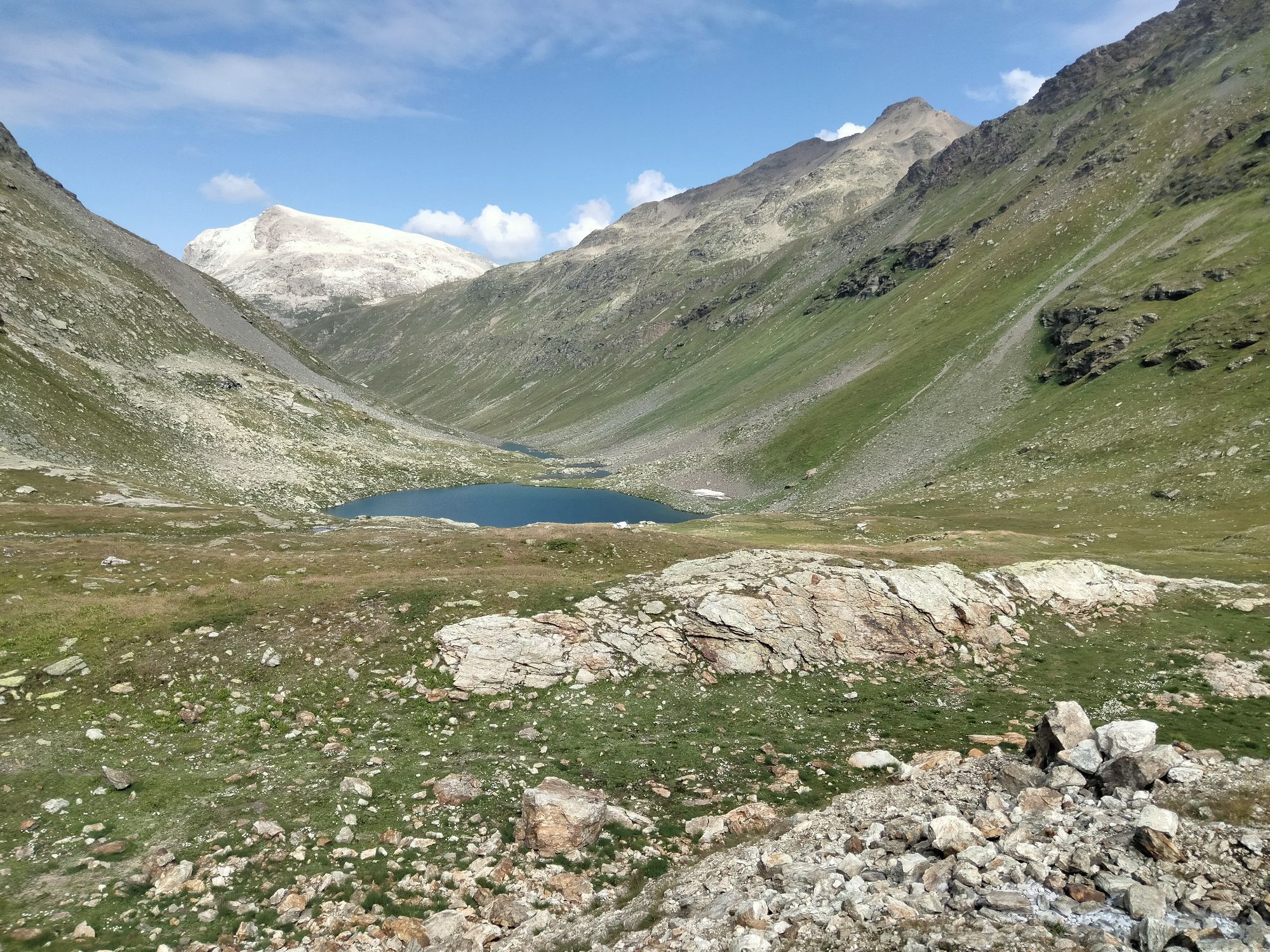
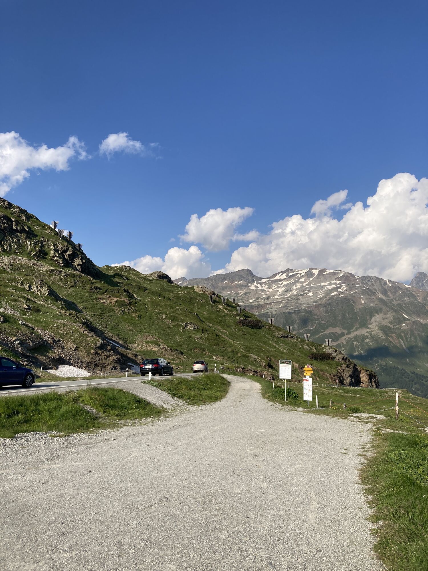
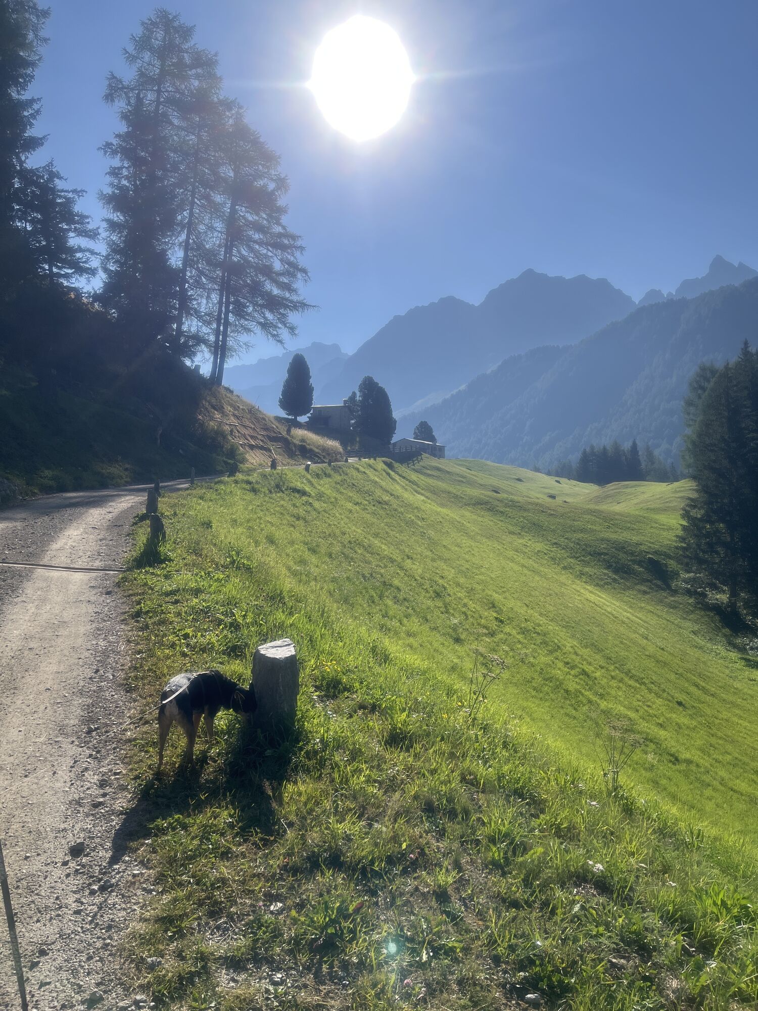
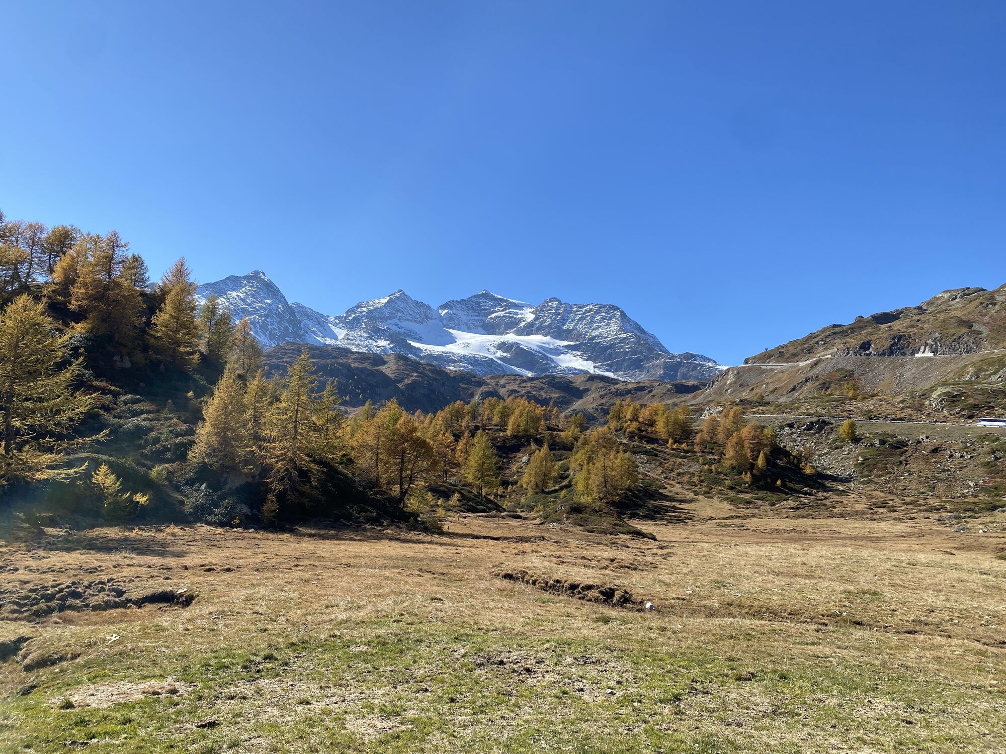
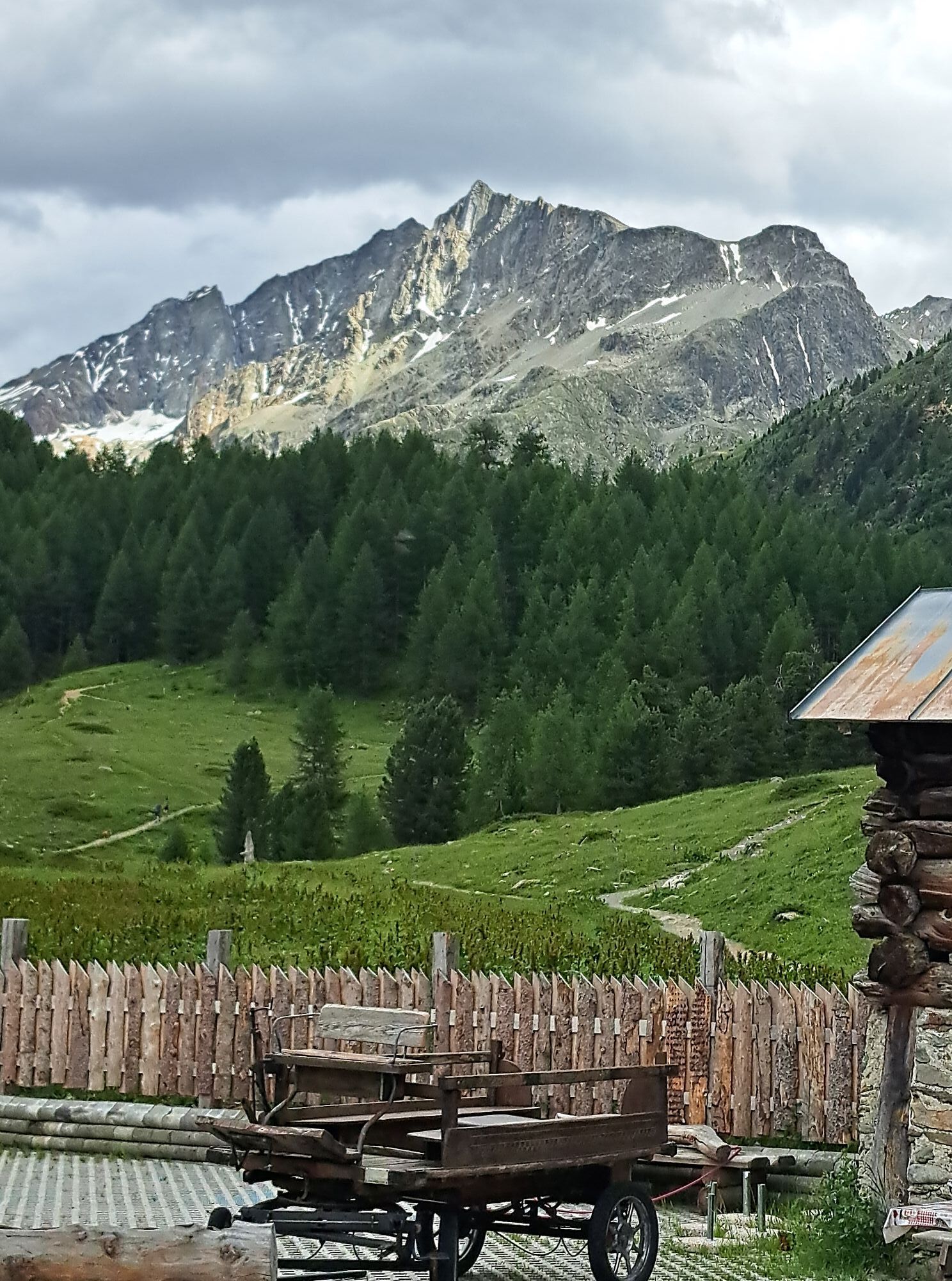
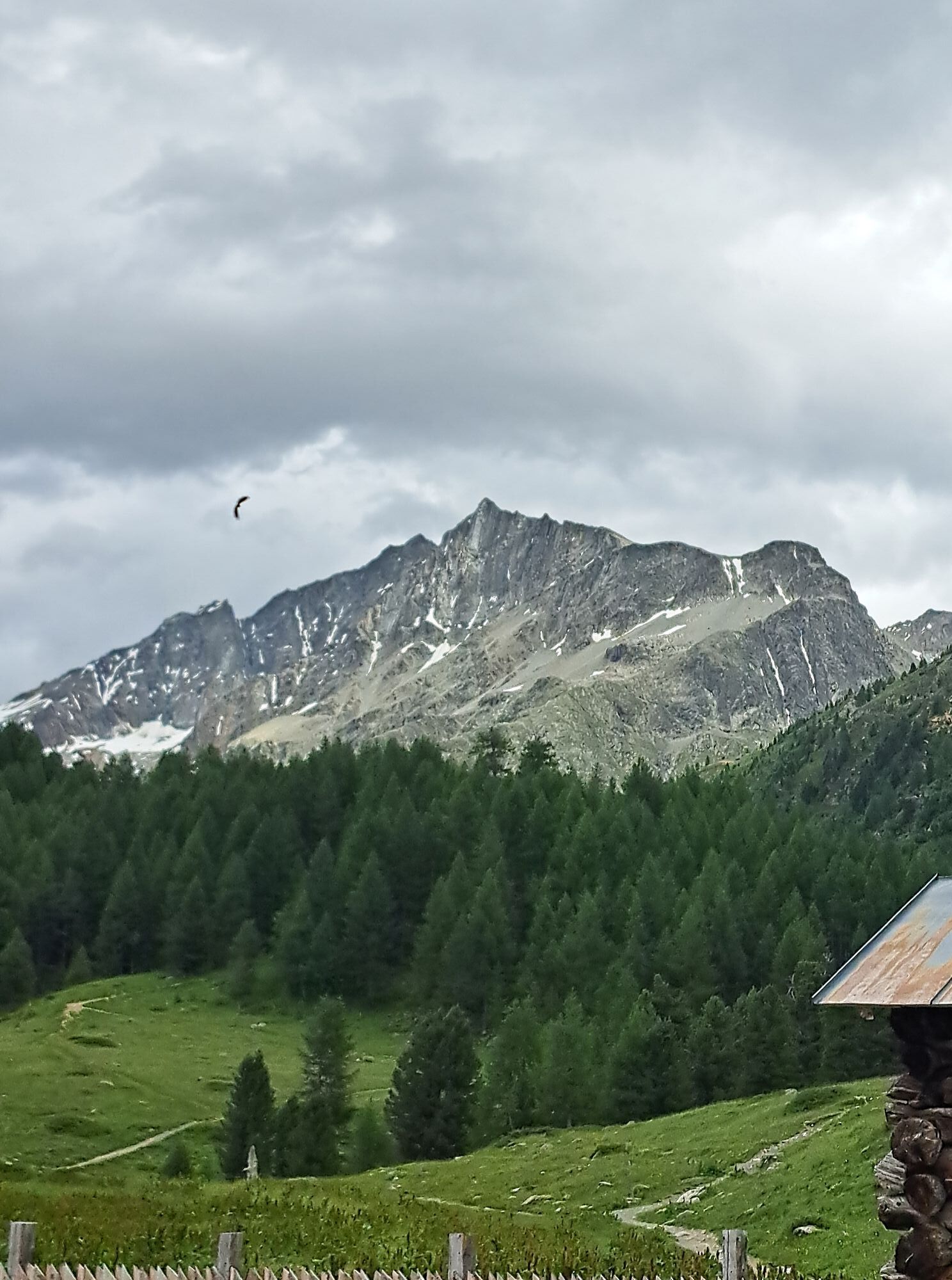
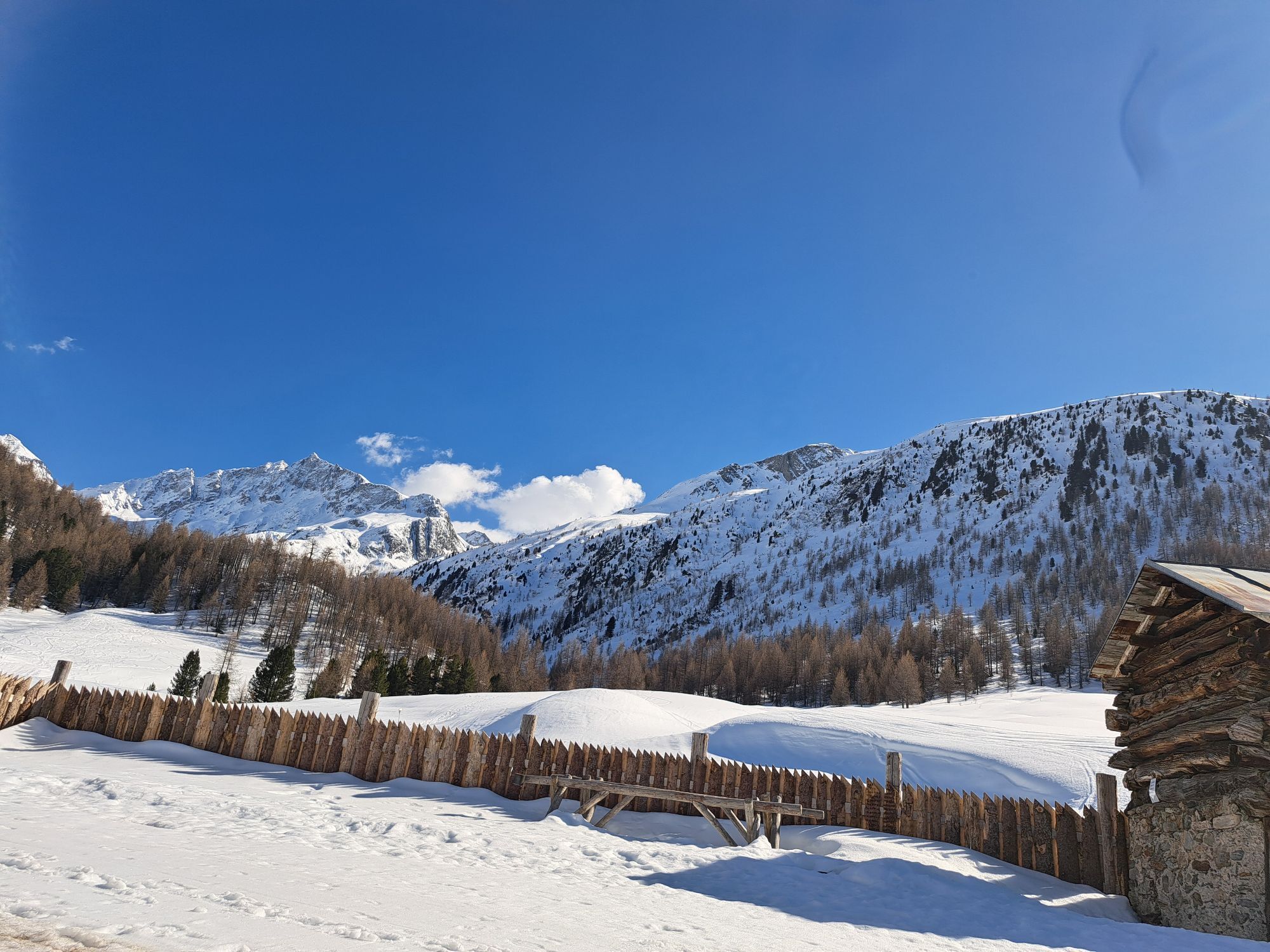
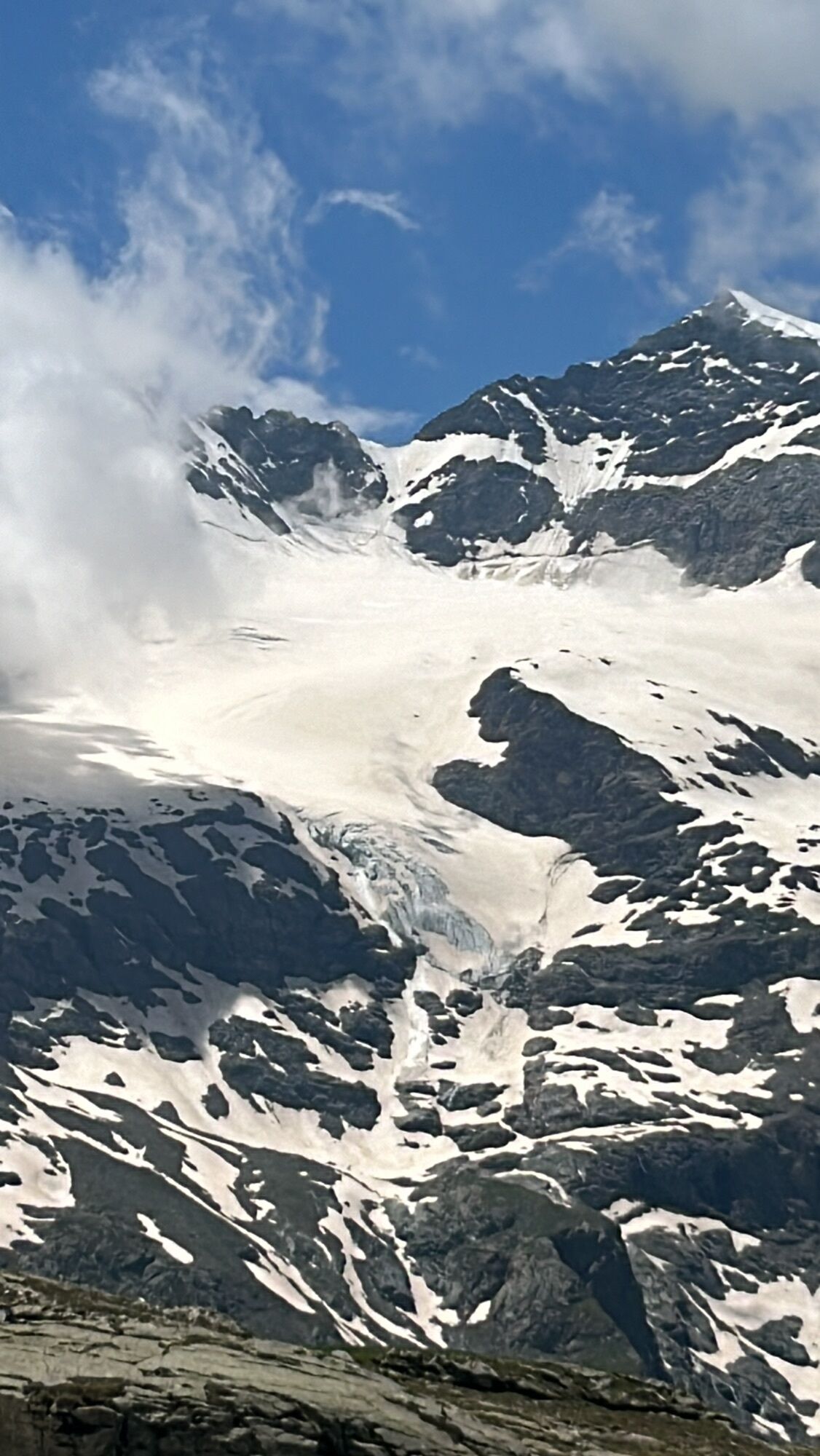
The starting point of the Poschiavino Trail is the fashionable bike mecca Livigno. The high route leads over the Forcola di Livigno to the Forcola di Val Minur and over Mottta Bianca to the Ospizio Bernina....
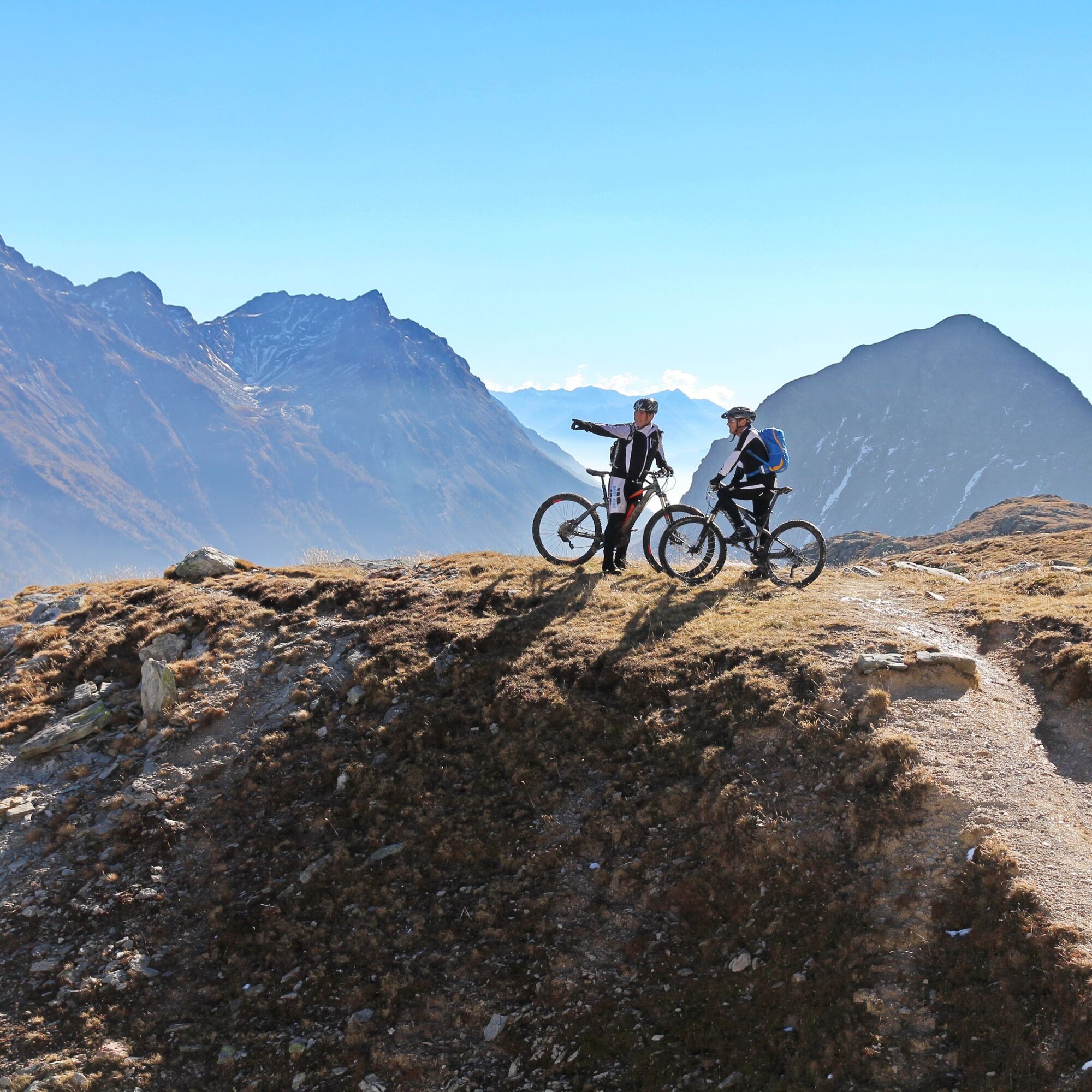
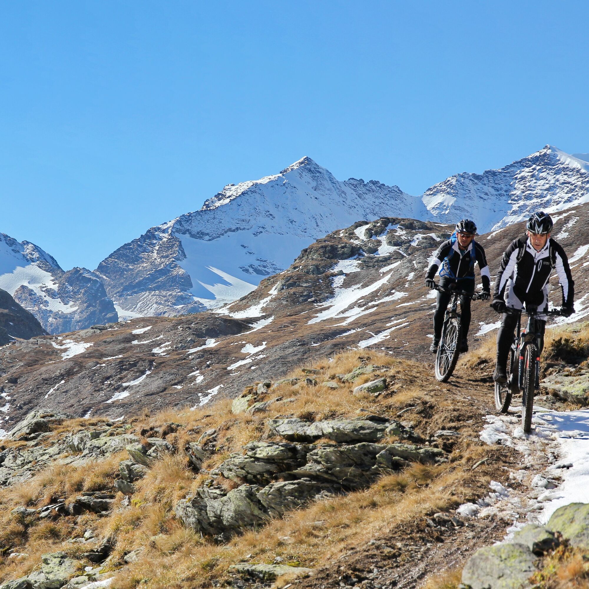
The starting point of the Poschiavino Trail is the fashionable bike mecca Livigno. The high route leads over the Forcola di Livigno to the Forcola di Val Minur and over Mottta Bianca to the Ospizio Bernina. Characteristic for this part of the fully rideable and little exposed trail is the barrenness of the rocks and scree slopes, which resembles a lunar landscape.
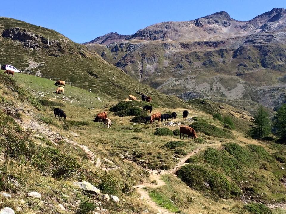
From the Bernina Pass height, the trail initially follows the old pass road down to a wonderful plateau and continues to the foot of the strongly calcareous I Gessi, where the Poschiavino has its source. Following the barren limestone mountains on old mule tracks, the path follows the stream through the Val Laguné with its lovely alpine meadows to the entrance of the Val da Camp. From Pozzolascio, the Via delle Scali, the original pass connection, leads down to the hamlet Angeli Custodi, where the trail meets the course of the Poschiavino again. Past lush meadows and fields, the path leads on the valley floor to the main town of Poschiavo, which enchants with its southern charm.
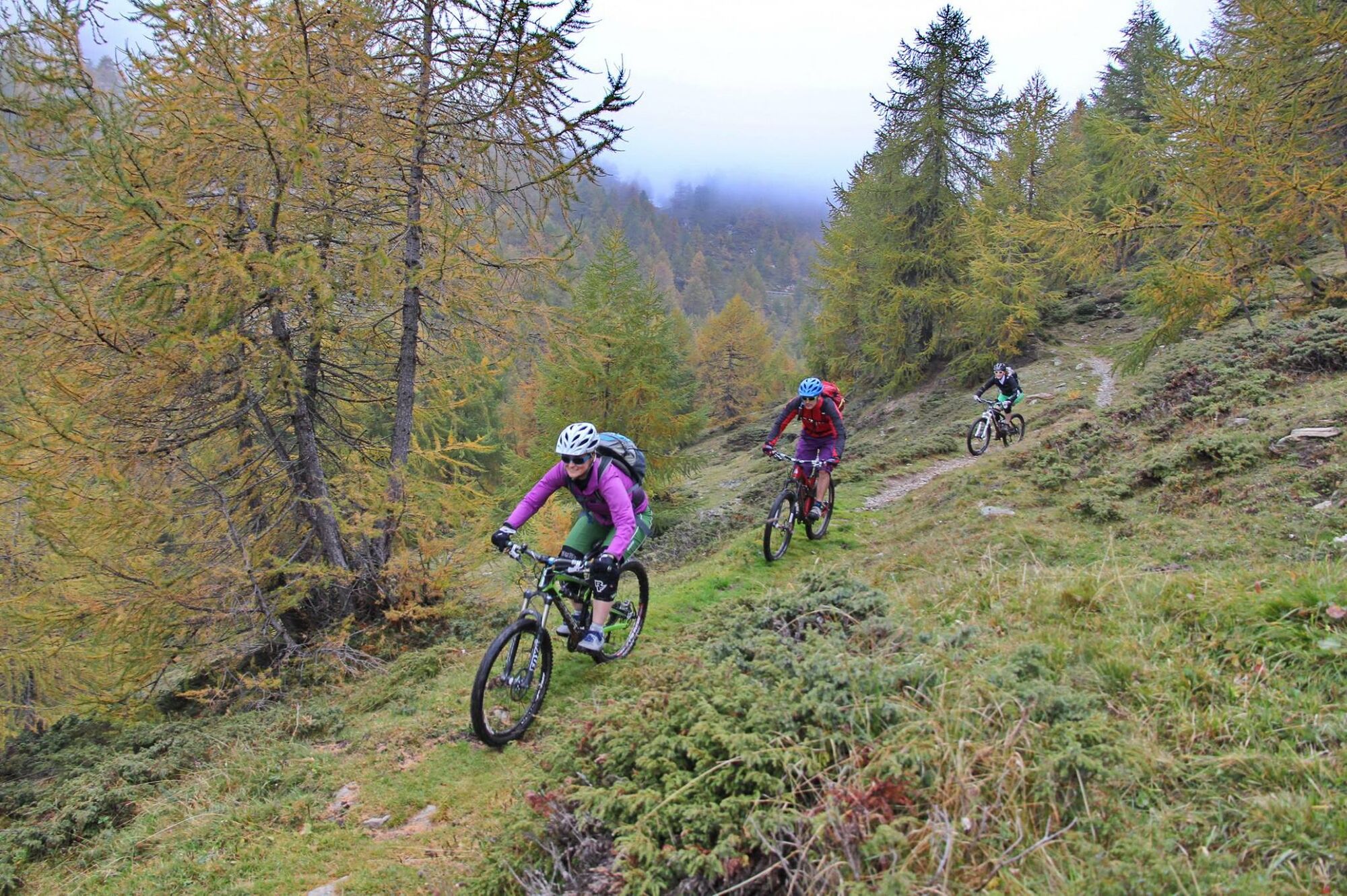

This route is signposted in only one direction: Livigno – Poschiavo
Carry identification documents as the route crosses borders.
Attention: Snowfields are possible in high-altitude sections even into the summer months.
Shuttle bus - PubliCar
You can shorten the route using the PostBus, which runs on the Poschiavo - Pontresina route via the Bernina Pass. Information and reservation with PostBus: +41 81 844 10 42, autopostale.poschiavo@bluewin.ch, www.balzarolo.ch/de/personentransport
Timetable: www.sbb.ch
S2
Valposchiavo Turismo
Vial da la Stazion 12
7742 Poschiavo
T. +41 81 839 00 60
Best season
June - October
Kamery internetowe z trasy
-
Mottolino
-
Seggiovia Federia Monte
-
Monte Della Neve
-
Berninapass
-
Livigno - Mottolino
-
Mottolino - Bike Park
-
Livigno Ski School Area
-
Diavolezza Bergstation
-
Diavolezza Bergstation
-
Diavolezza Bergstation
-
Diavolezza Bergstation
-
Diavolezza Bergstation
-
Diavolezza Bergstation
-
Diavolezza Bergstation
-
Sassalbo
-
Diavolezza Bergstation
-
Livigno
-
Livigno - Crap
-
Bergstation Lagalb
-
Bergstation Lagalb
-
Bergstation Lagalb
-
Bergstation Lagalb
-
Bergstation Lagalb
-
Bergstation Lagalb
-
Livigno
-
Livigno Teola
-
Livigno - Hotel Primula
-
Livigno Ortszentrum
-
Livigno
-
Livigno Centro | Livigno Town Center
-
SnowFarm
-
Livigno Centro | Livigno Town Center
-
SnowFarm
-
SnowFarm
-
Centro Sci Fondo | Cross Country Stadium
-
Centro Sci Fondo | Cross Country Stadium
-
Centro Sci Fondo | Cross Country Stadium
-
Centro Sci Fondo | Cross Country Stadium
-
Centro Sci Fondo | Cross Country Stadium
-
Centro Sci Fondo | Cross Country Stadium
Uzyskaj wgląd
Zawsze na żywo z ponad 9 500 kamer internetowych. bergfex Jako użytkownik Pro, możesz teraz zobaczyć odpowiednie kamery internetowe dla wielu wycieczek w aplikacji wycieczki od. Pozwala to na bezpośredni podgląd aktualnych warunków.
Popularne wycieczki w okolicy
-
4,6
Diavolezza - Munt Pers
światłoWycieczki górskie 3,82 km -
5,0
Morteratsch station - Boval Hut
średniWędrówka 10,5 km -
4,7
Panoramic route Muottas Muragl
światłoWędrówka 6,75 km -
5,0
Muottas Muragl - Segantini hut - Pontresina
średniWędrówka 6,46 km -
5,0
Mountain hike to Lagh da Saoseo
ciężkiWędrówka 15,0 km -
4,5
Pontresina - Val Roseg - Pontresina
światłoWędrówka 13,8 km -
4,8
SAC Tschierva
światłoWędrówka 24,7 km -
4,7
Morteratsch Glacier route
światłoTrasa tematyczna 2,88 km -
4,4
Piz Palü (3.905m) – Hochtour
średniWycieczka wysokogórska 13,4 km -
4,8
Alp Languard - Segantini Hut - Muottas Muragl
średniTrailrunning 6,45 km
Wędrówki i tropienie


Nie przegap ofert i inspiracji na następne wakacje
Twój adres e-mail została dodana do listy mailingowej.





