







Panoramic route Muottas Muragl
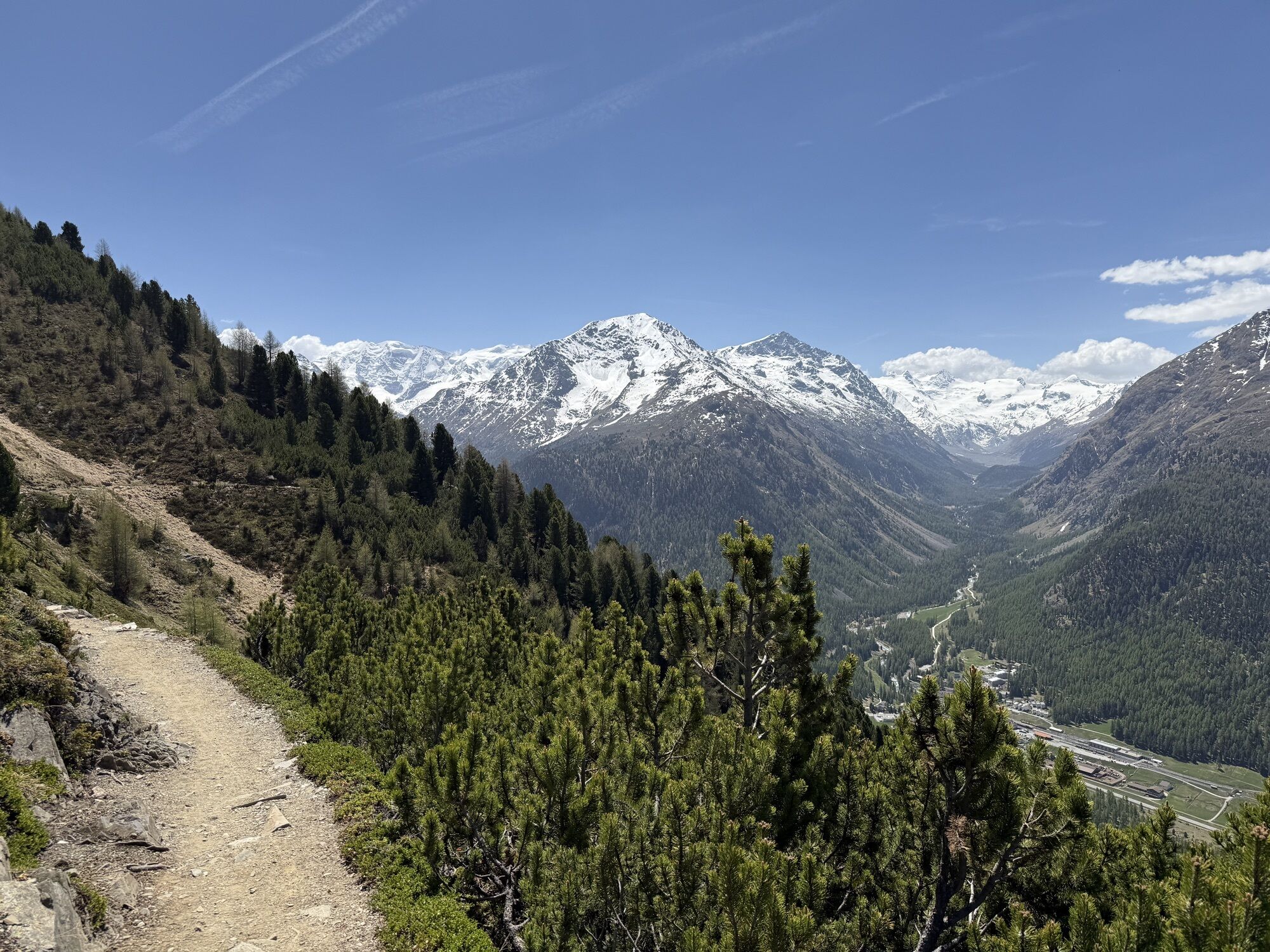
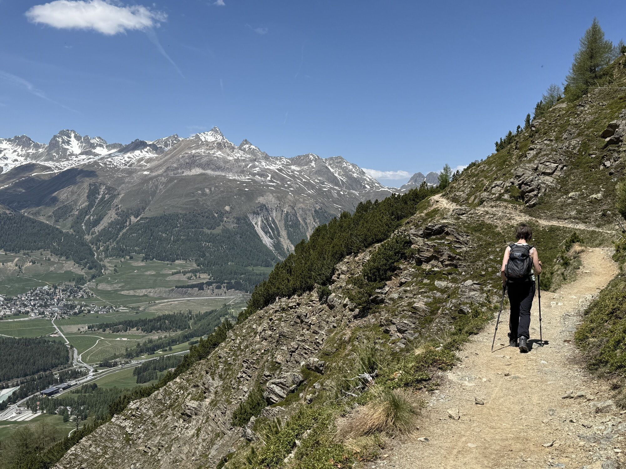
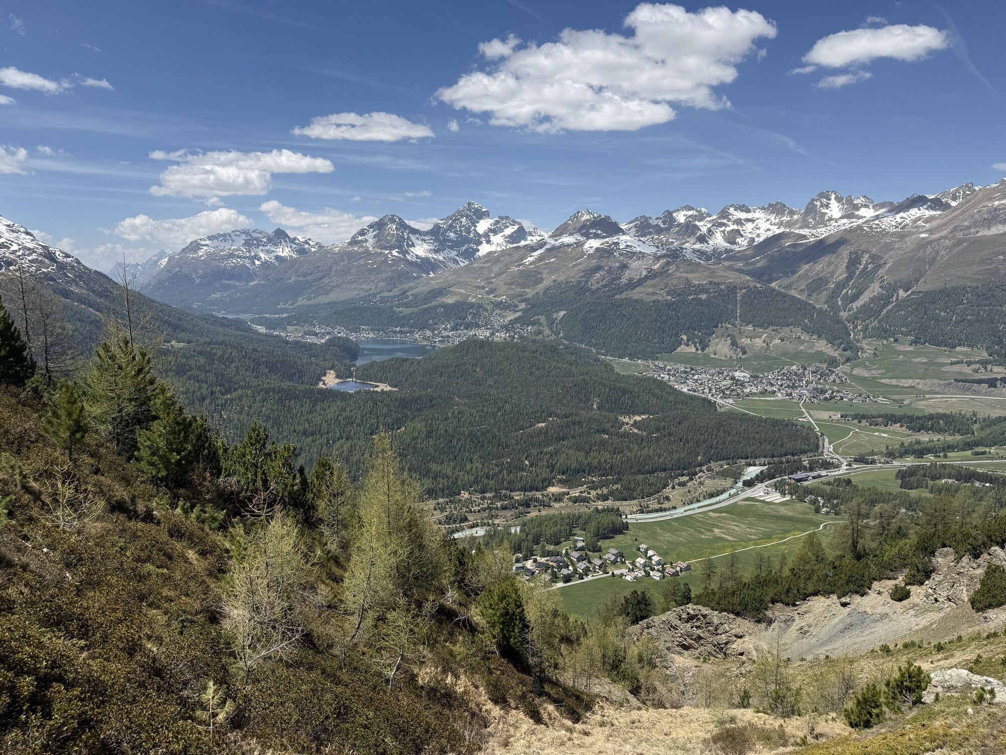

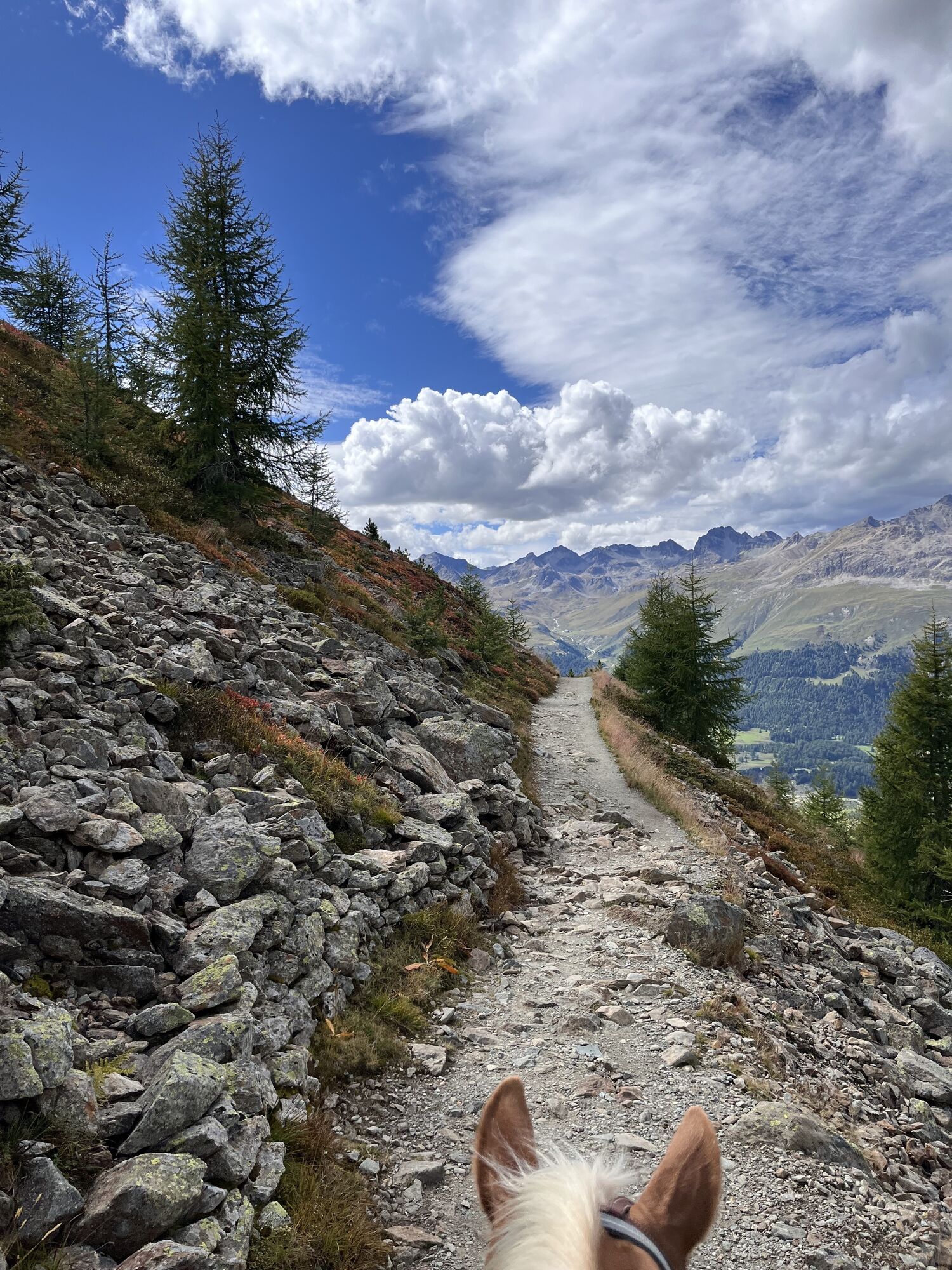
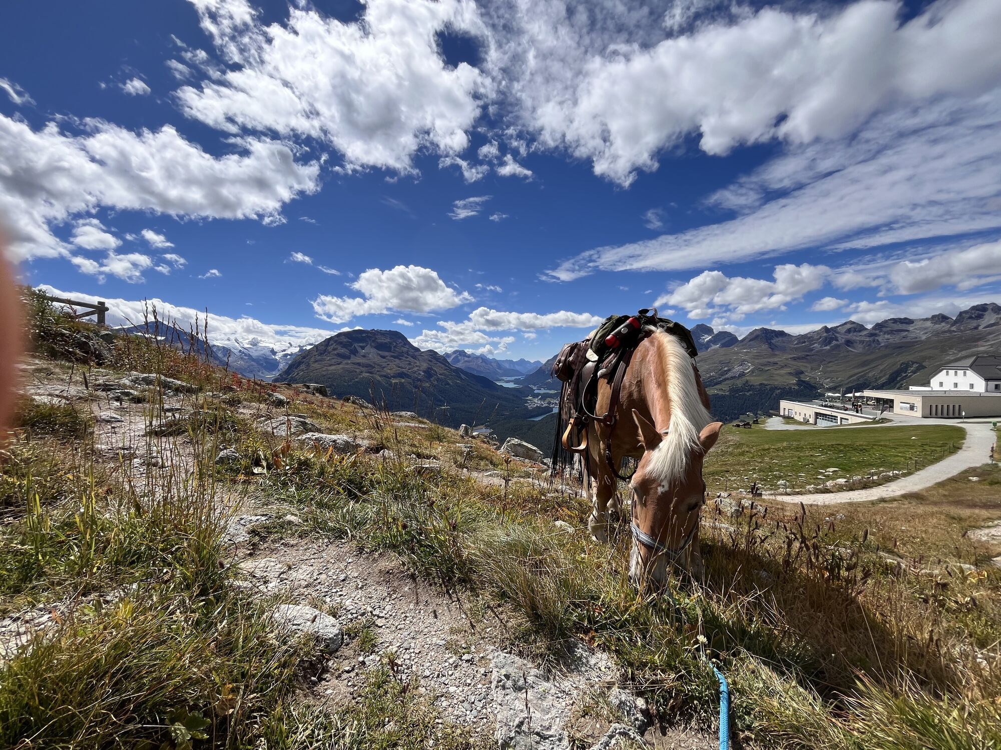

This excursion combines delights like no other: the journey on the picturesque funicular, the most beautiful view over the Engadin lake landscape and the Bernina massif, and finally this panoramic route,...
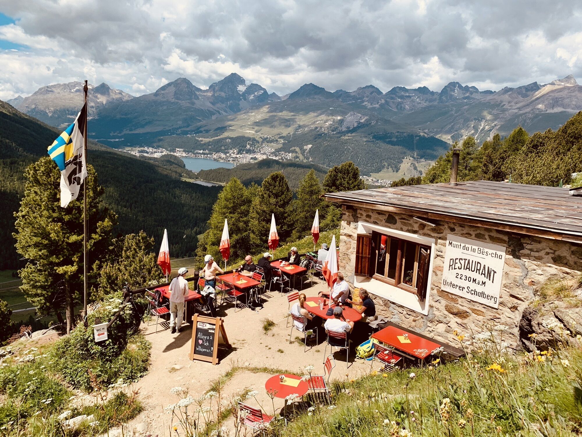
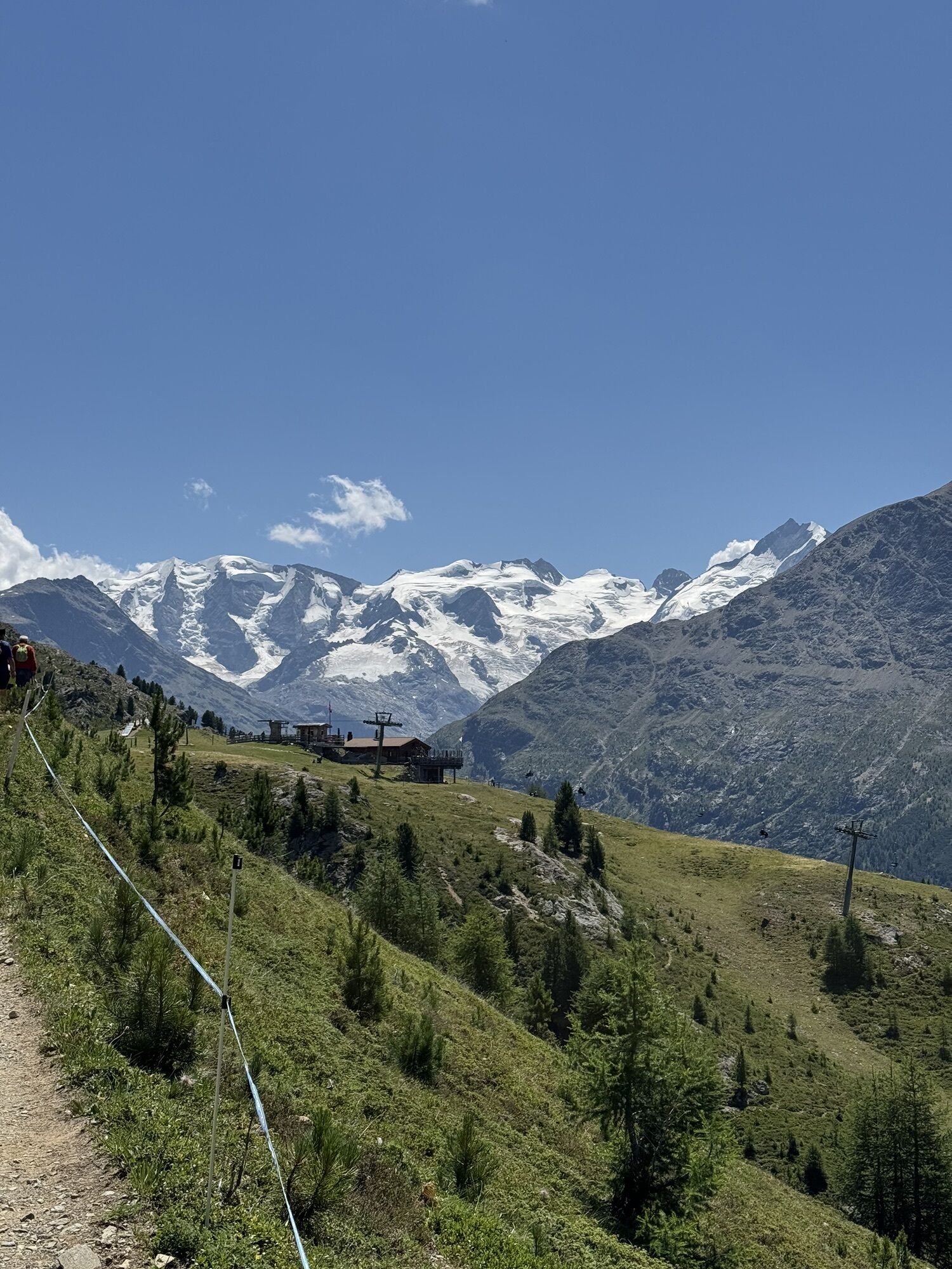
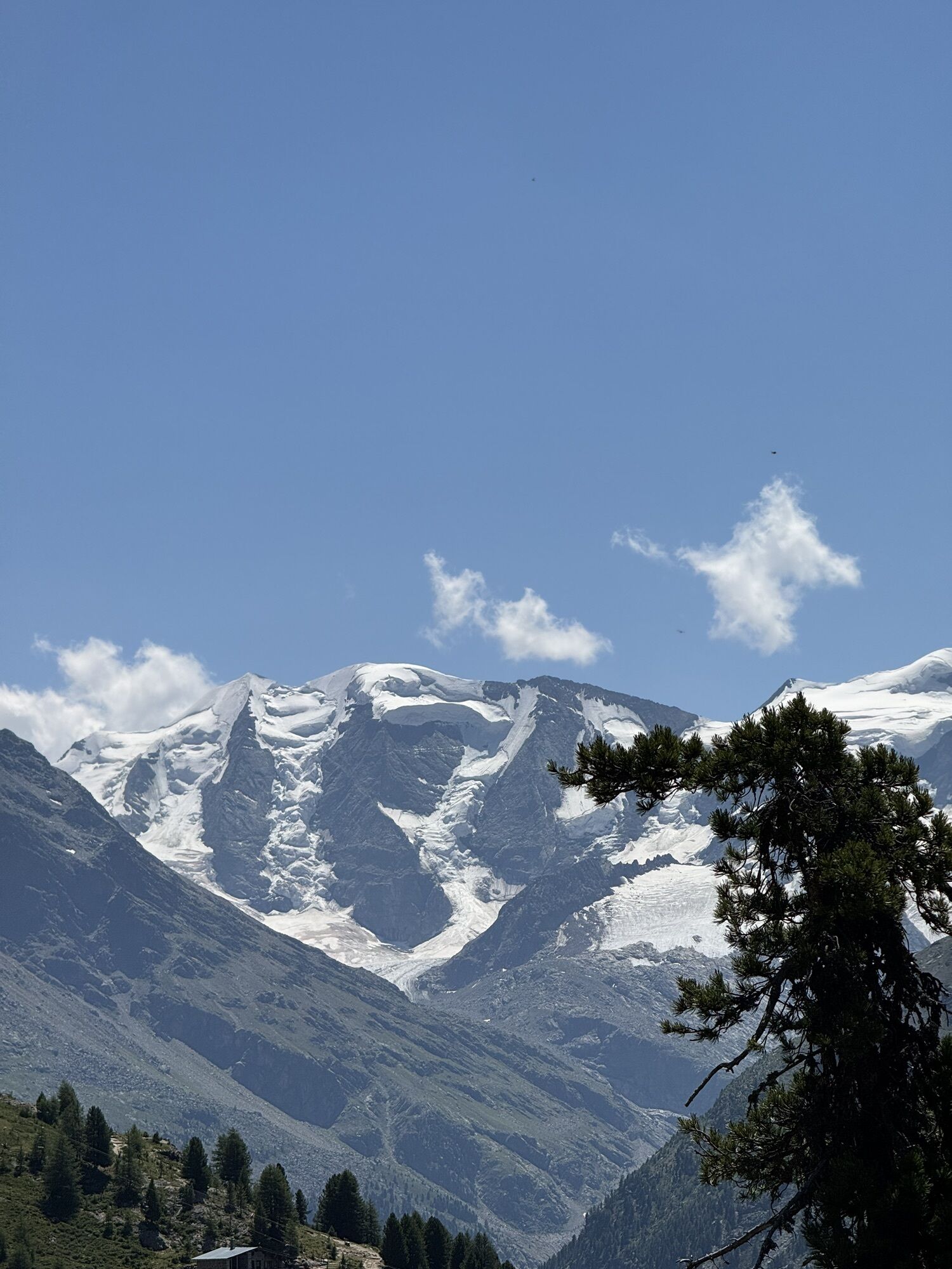
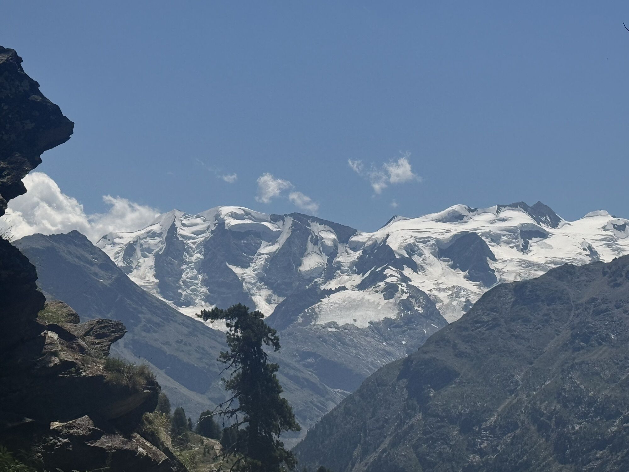
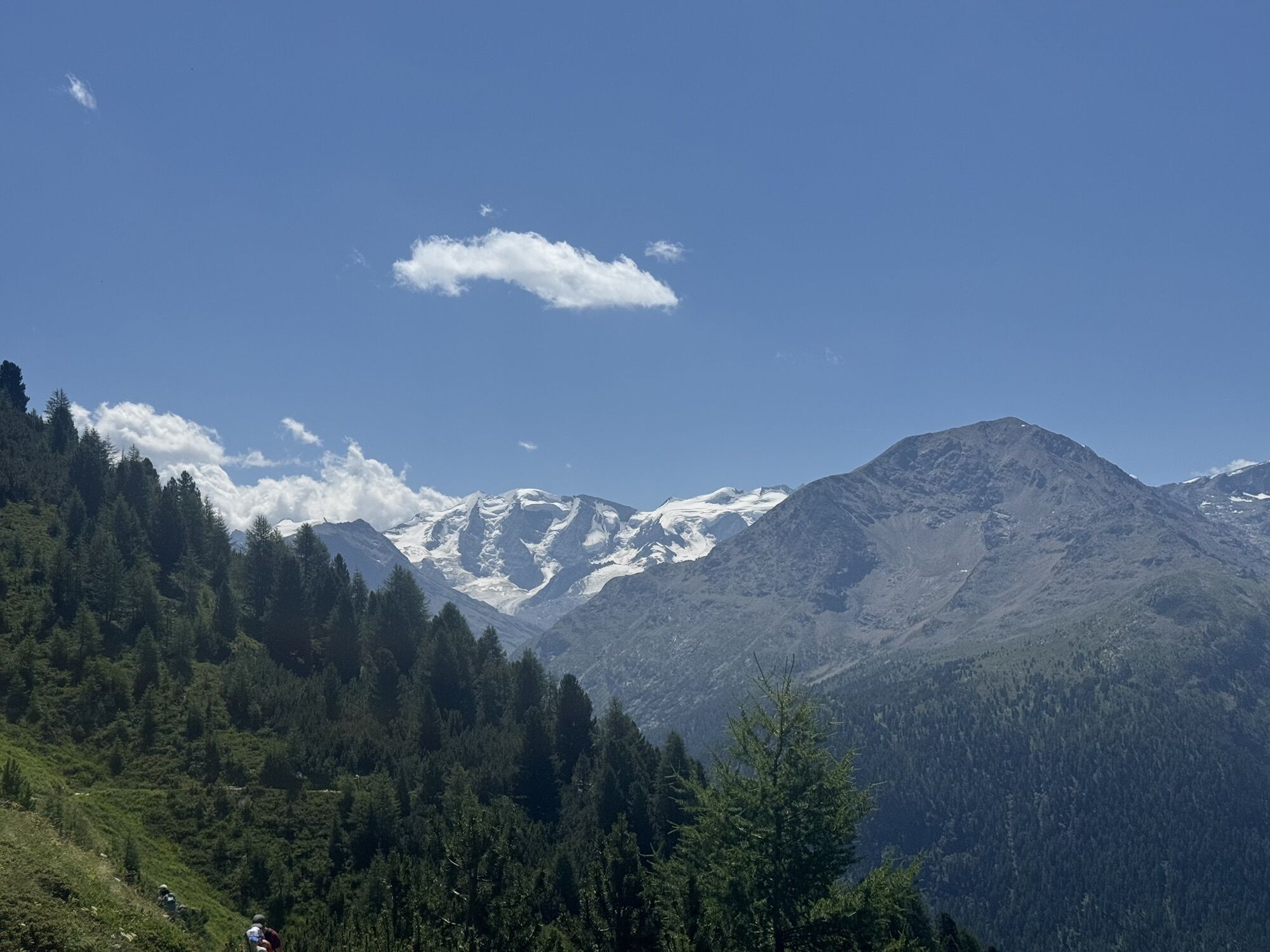
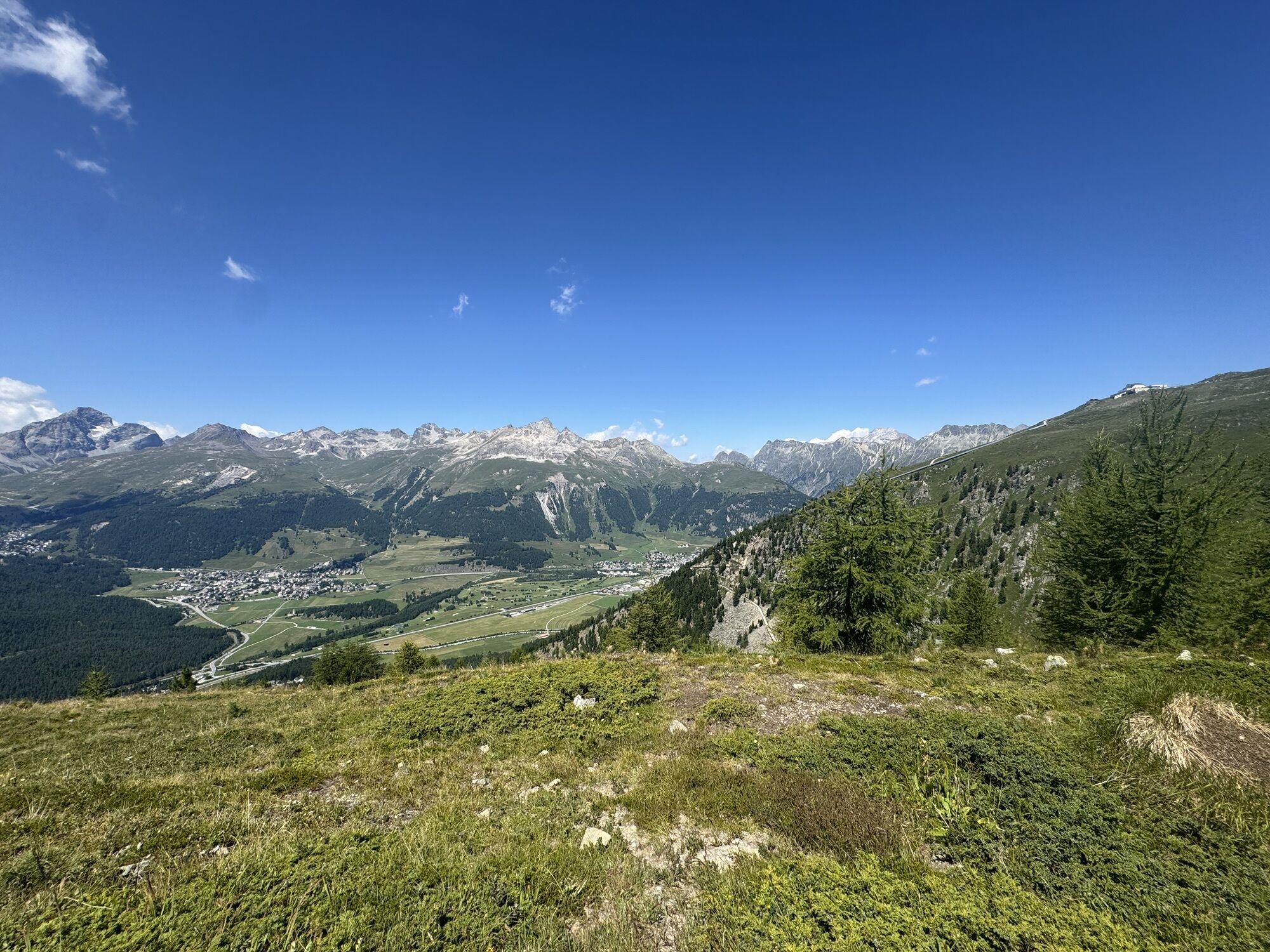
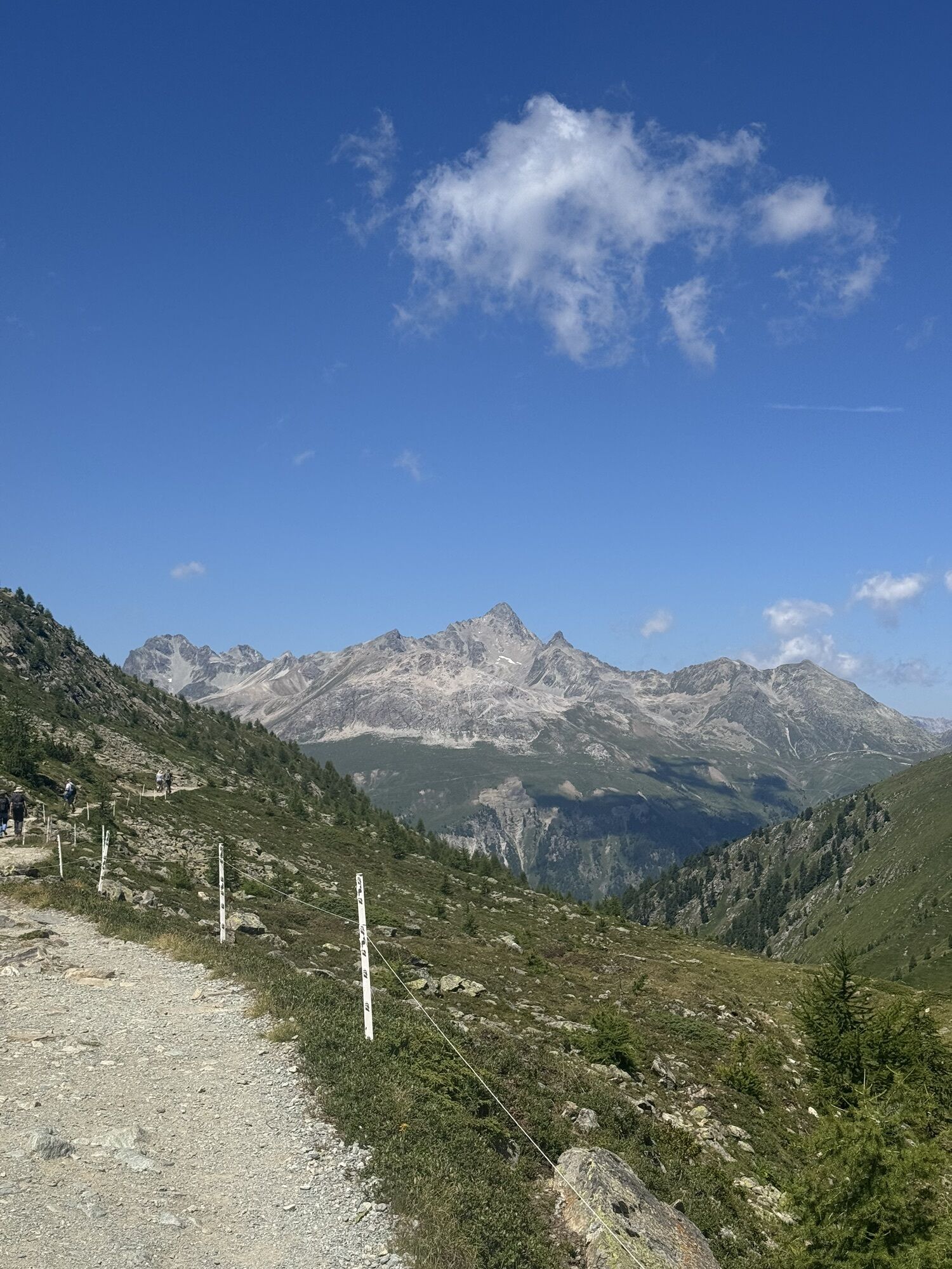
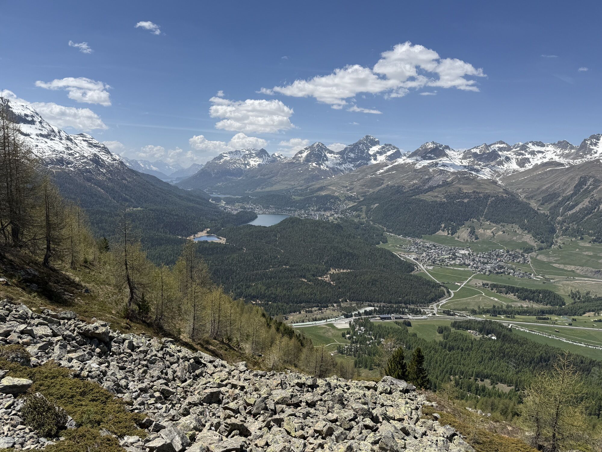
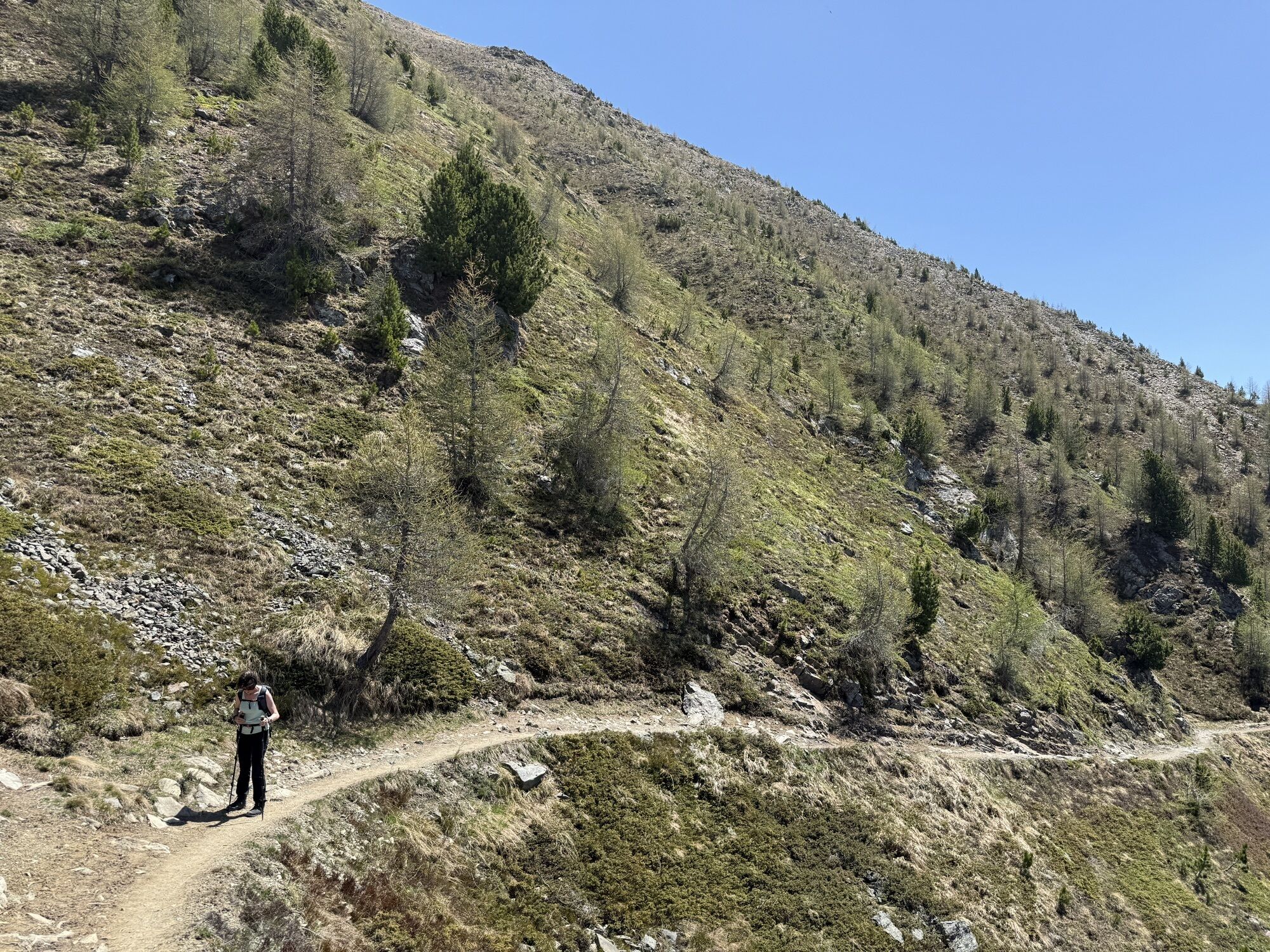
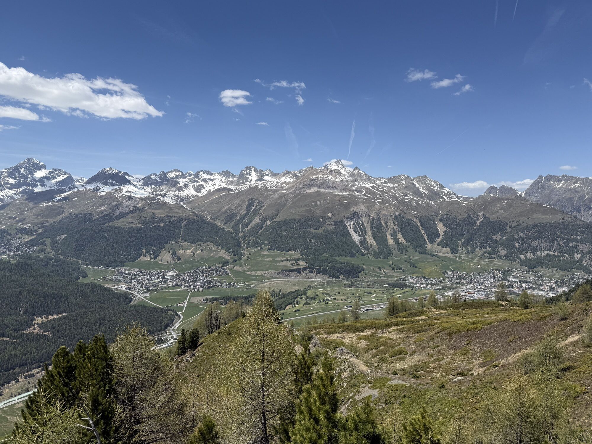
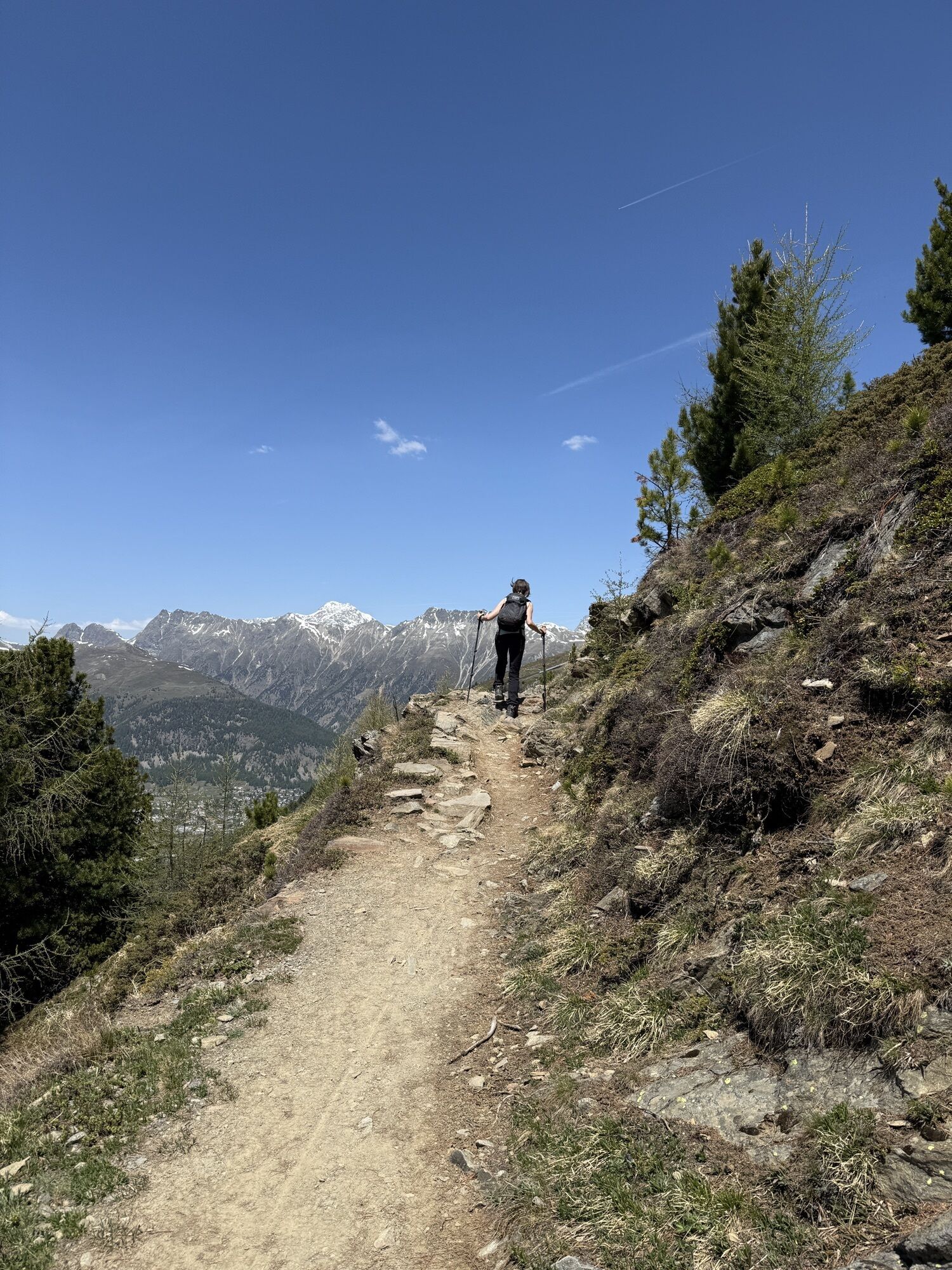
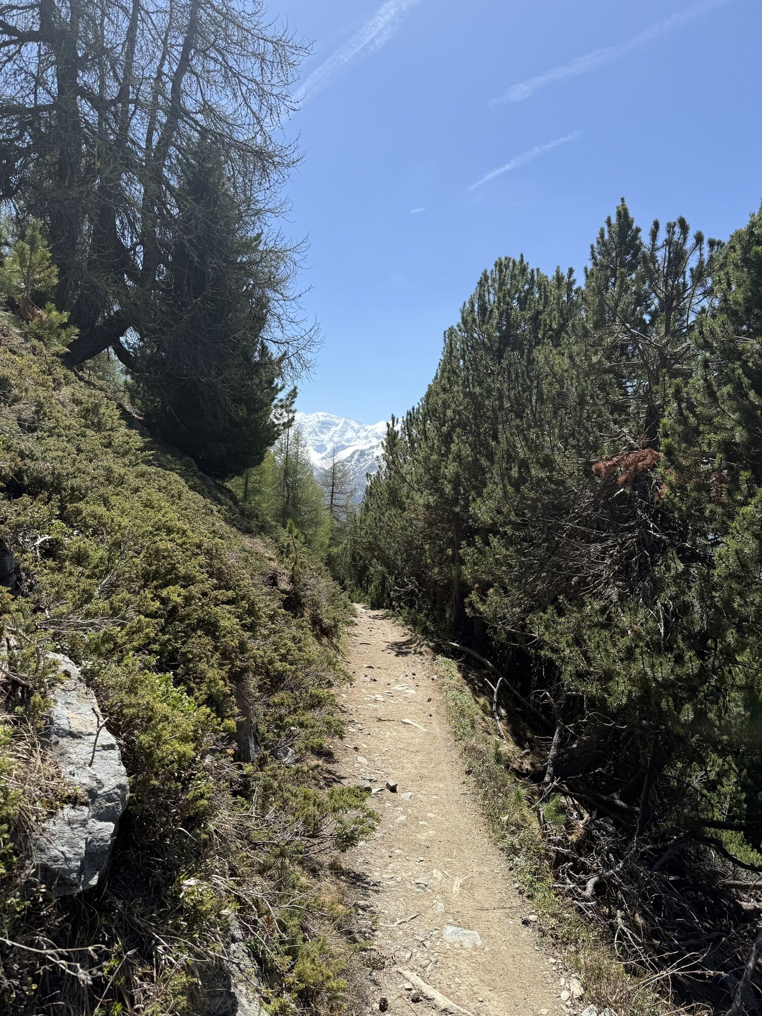
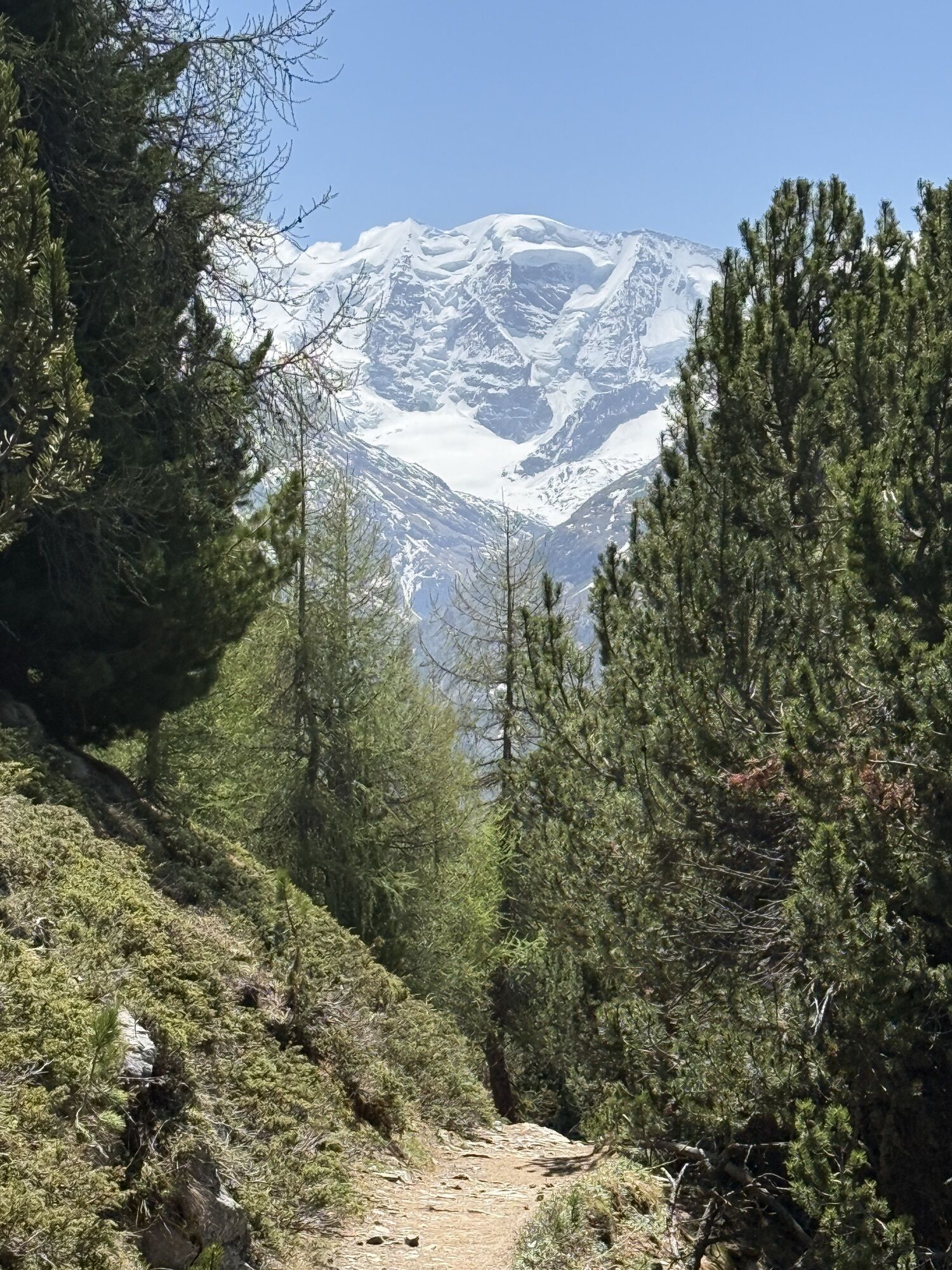
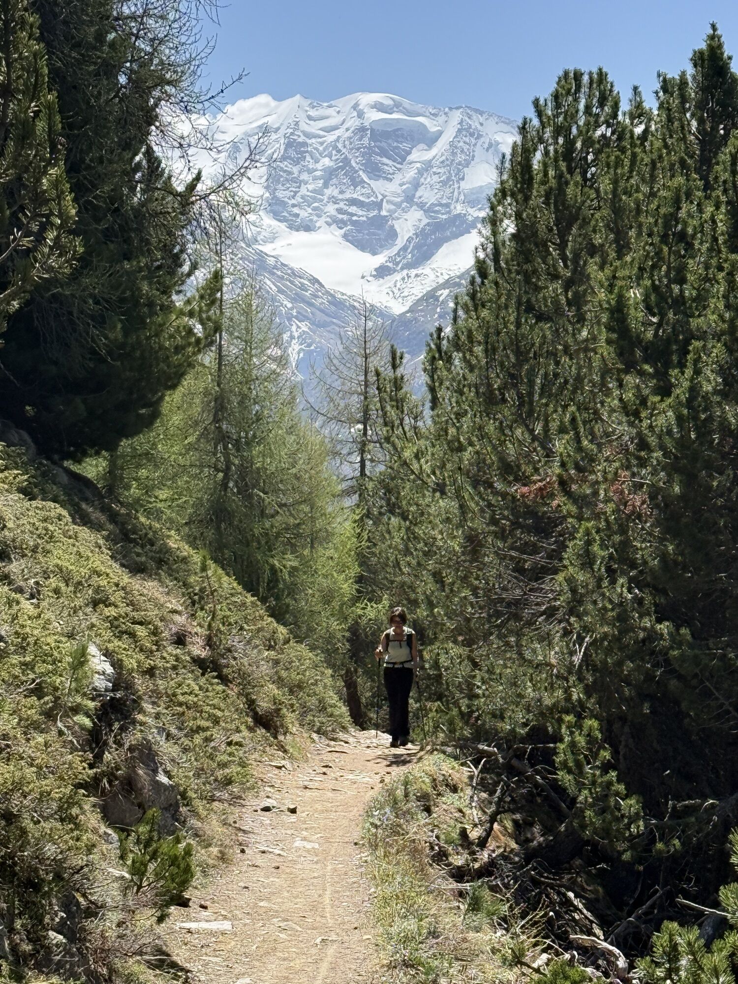
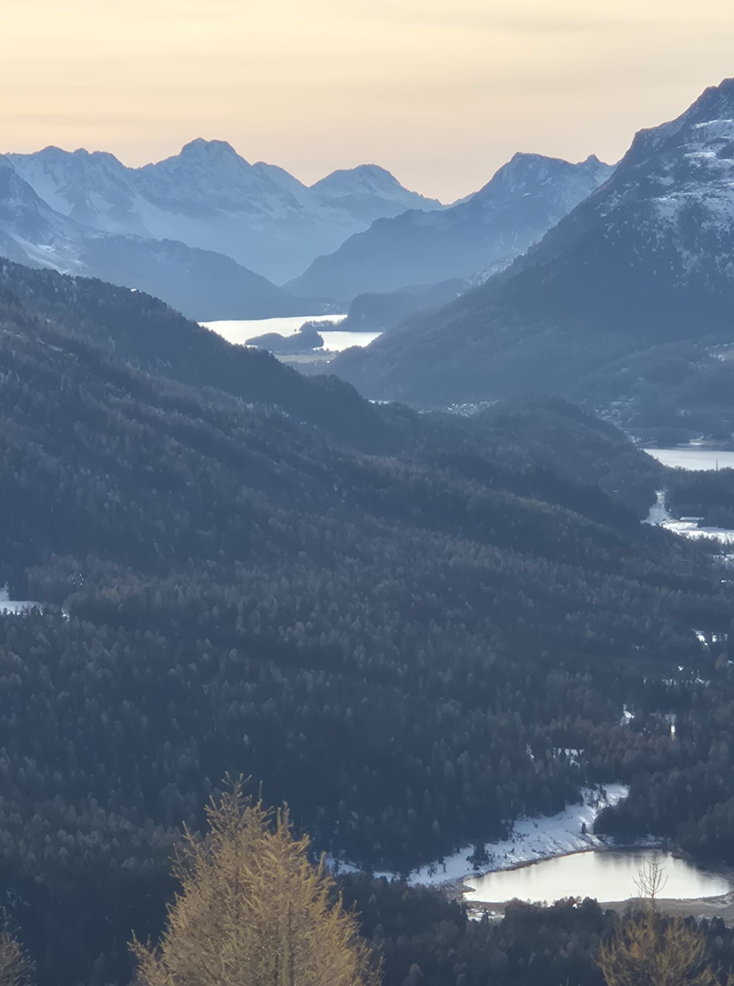
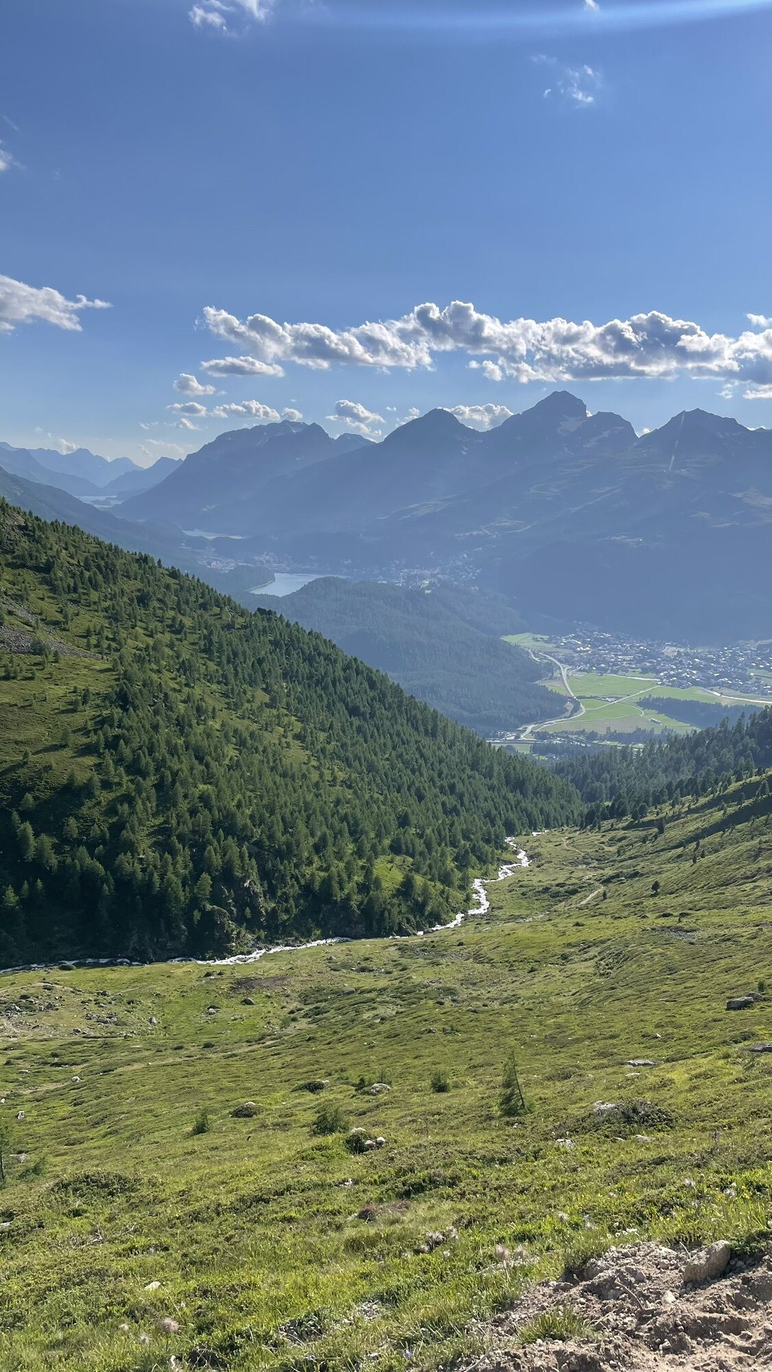
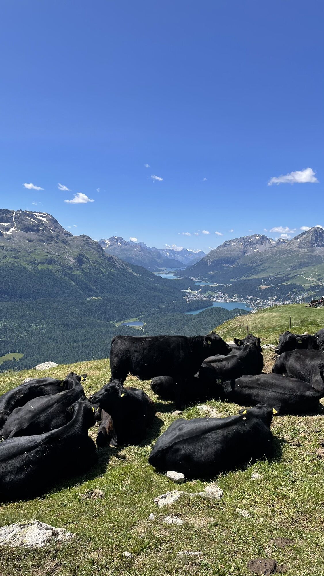
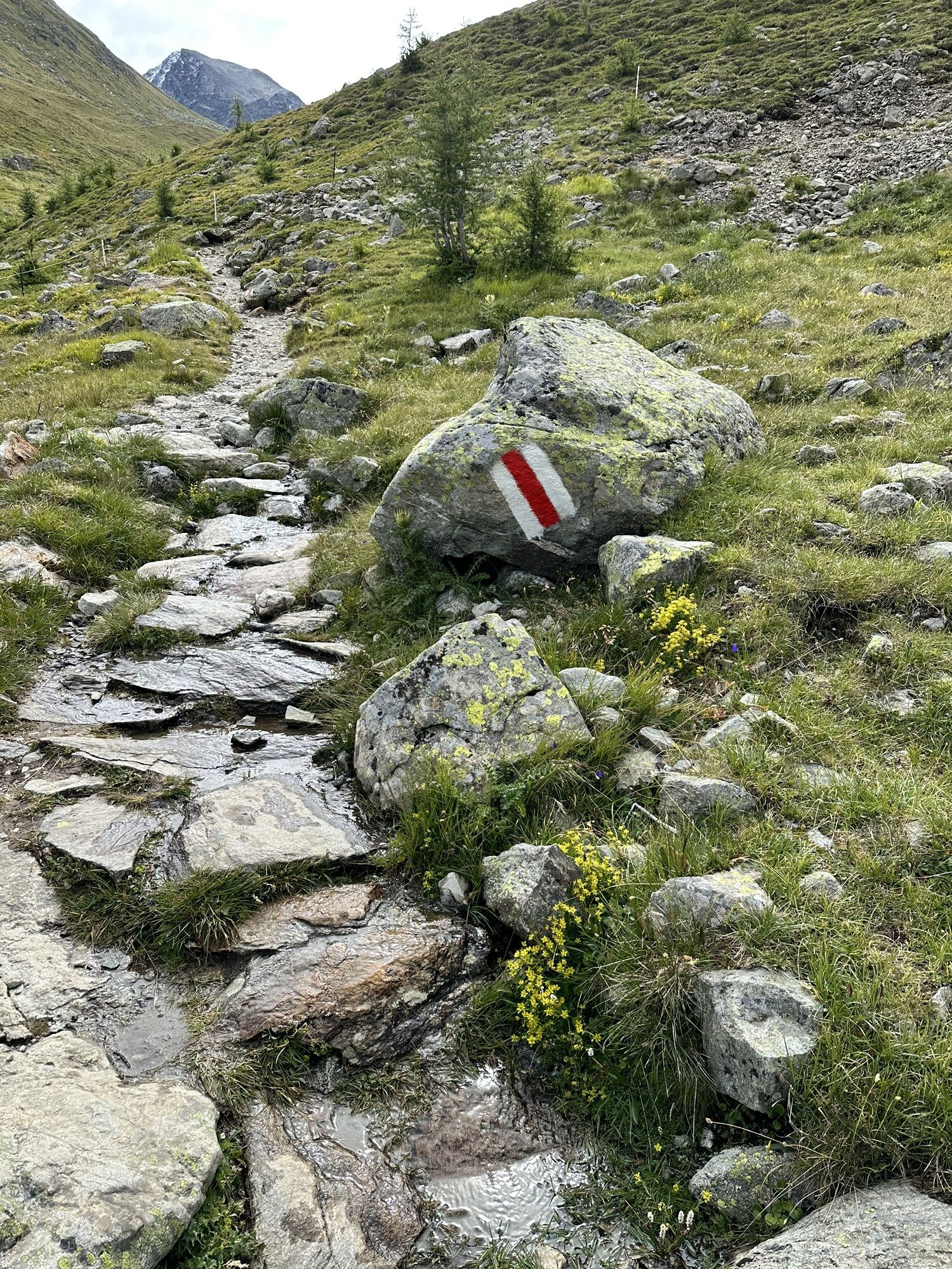
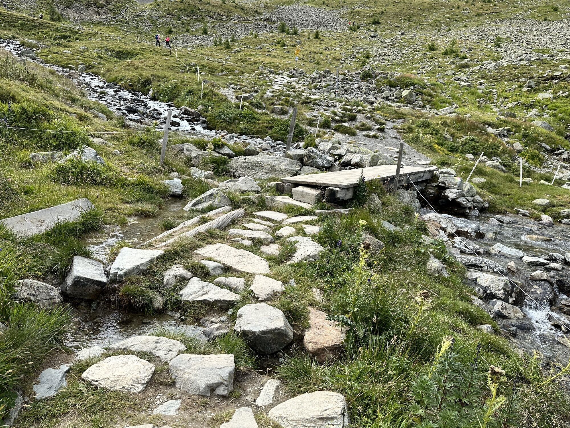
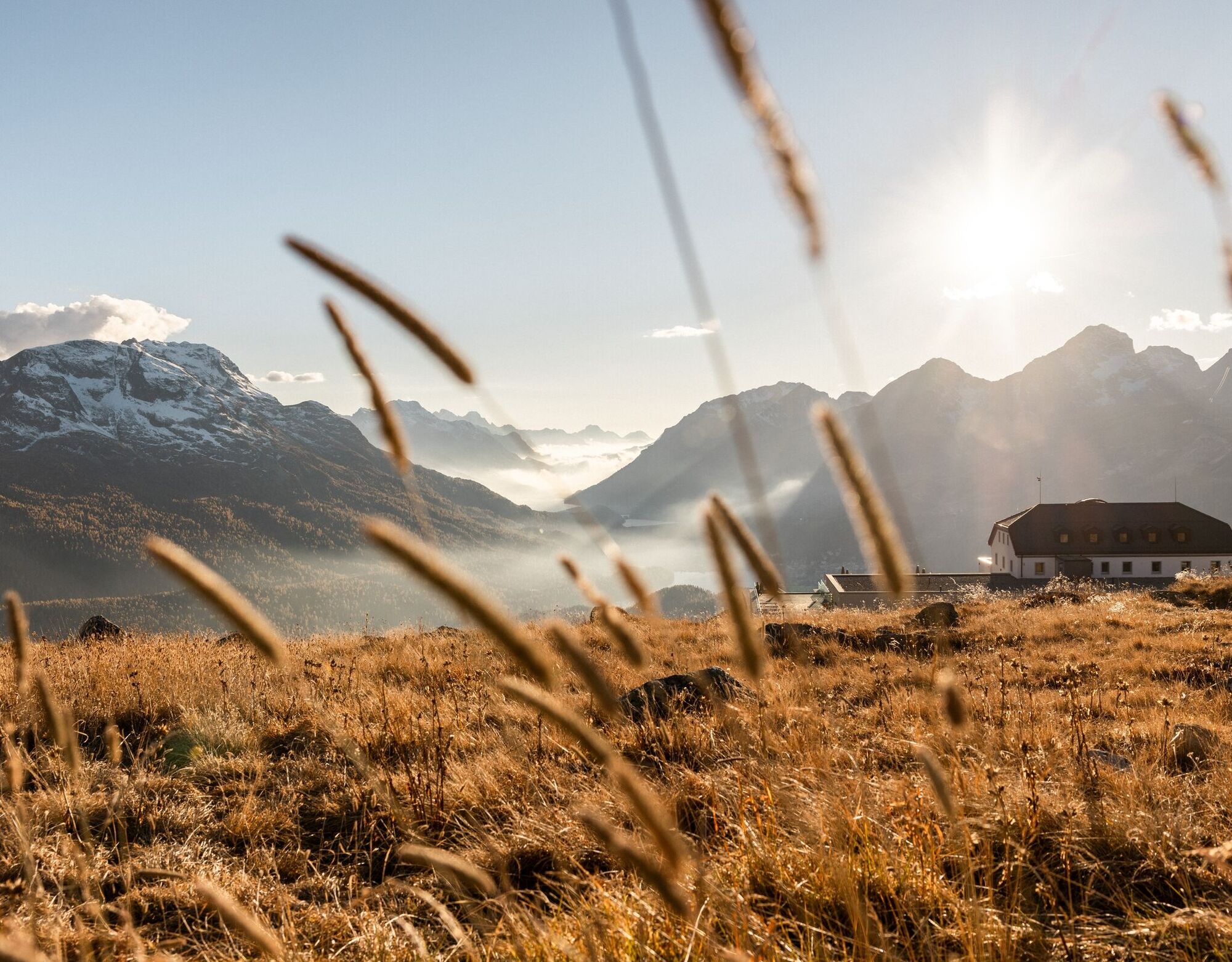
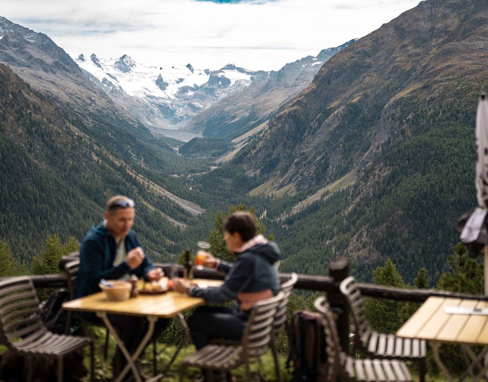
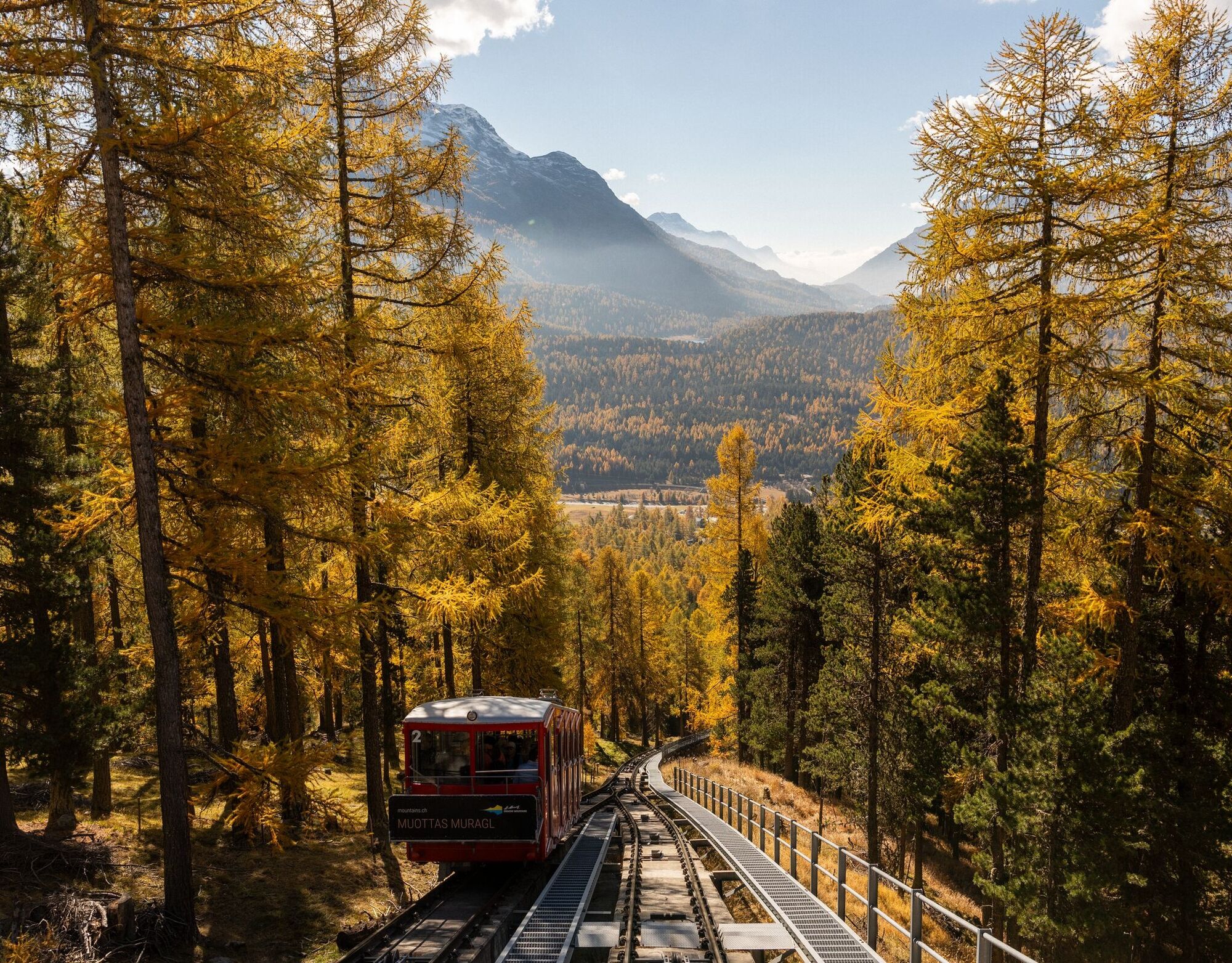
This excursion combines delights like no other: the journey on the picturesque funicular, the most beautiful view over the Engadin lake landscape and the Bernina massif, and finally this panoramic route, which leisurely leads through pine forests and past gnarled Swiss stone pine roots around the Schafberg. Always in view is the magnificent panorama of the Bernina chain. Halfway along the route, below the path, lies the small cozy restaurant "Lower Schafberg", which invites you to take a break. The path continues along the slope, through a protective tunnel, and during the ascent to Alp Languard you might still get a bit out of breath, which upstairs is reason enough for a piece of cake and breathtaking views of the panorama. And possibly a good excuse to give in to comfort and take the chairlift down to Pontresina.
Further information
Engadin Tourism AG
Via Maistra 1
CH-7500 St. Moritz
Phone: +41 81 830 00 01
E-Mail: allegra@engadin.ch
Internet: www.engadin.ch

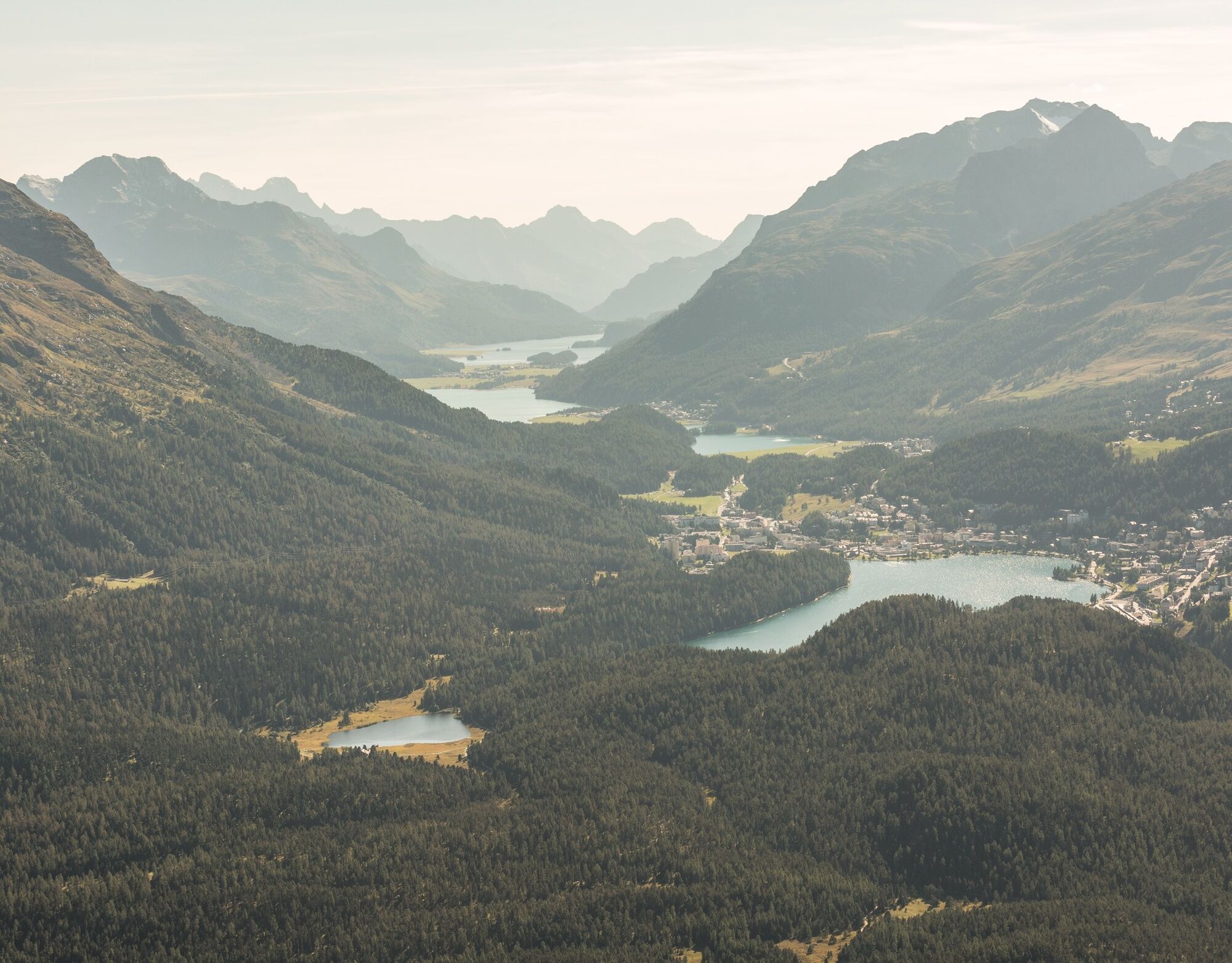
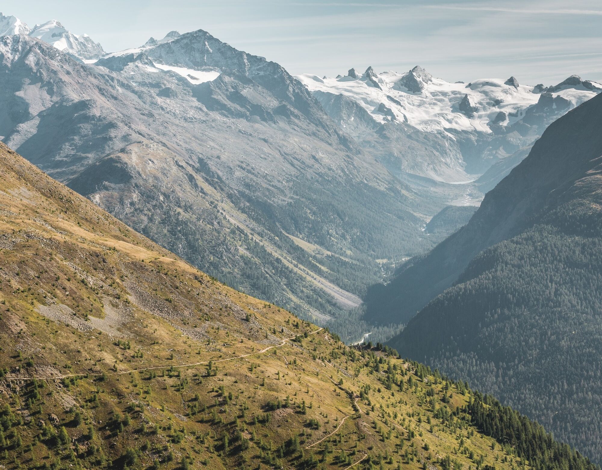
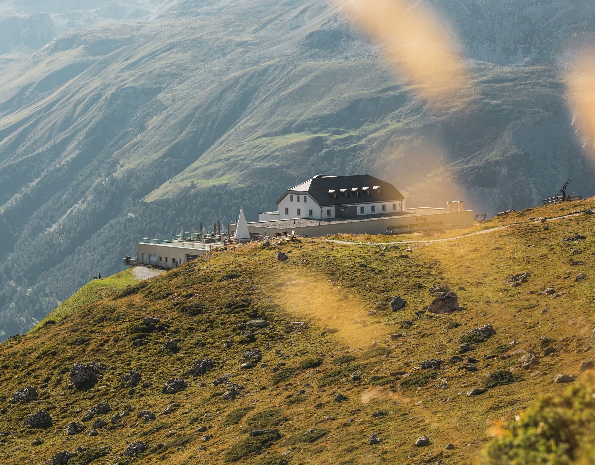
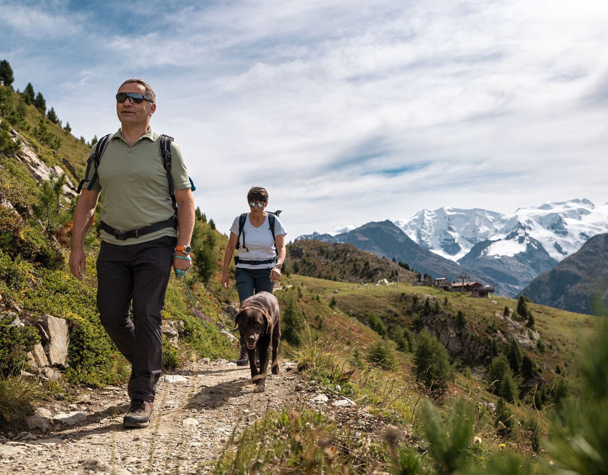

Muottas Muragl - Lower Schafberg - Alp Languard
Tak
Tak
Parking Lot-Punt-Muragl-Samedan
Purchase the hiking ticket Muottas Muragl-Alp Languard at the mountain railway ticket office, which entitles you to take one cable car up and the other down.



Kamery internetowe z trasy
-
St. Moritz / Samedan - Muottas Muragl
-
Camping Morteratsch
-
Samedo - Engadin Golf
-
St. Moritz / Samedan - Muottas Muragl
-
St. Moritz / Samedan - Muottas Muragl
-
St. Moritz / Samedan - Muottas Muragl
-
St. Moritz / Samedan - Muottas Muragl
-
Celerina - Cresta Palace
-
Celerina - Skiwiese Provuler
-
Samedan - Engadin Airport
-
Sporthotel Pontresina
-
Pontresina - Hotel Walther
-
Pontresina - Langlauf und Bikezentrum
-
Pontresina - Eiskletter-Schlucht
-
Pontresina - Hotel Saratz
Uzyskaj wgląd
Zawsze na żywo z ponad 9 500 kamer internetowych. bergfex Jako użytkownik Pro, możesz teraz zobaczyć odpowiednie kamery internetowe dla wielu wycieczek w aplikacji wycieczki od. Pozwala to na bezpośredni podgląd aktualnych warunków.


Popularne wycieczki w okolicy
-
4,6
Diavolezza - Munt Pers
światłoWędrówka 3,82 km -
5,0
Morteratsch station - Boval Hut
średniWędrówka 10,5 km -
5,0
Muottas Muragl - Segantini hut - Pontresina
średniWędrówka 6,46 km -
4,5
Pontresina - Val Roseg - Pontresina
światłoWędrówka 13,8 km -
4,8
SAC Tschierva
światłoWędrówka 24,7 km -
4,8
Around Lake St. Moritz
światłoWędrówka 4,32 km -
4,7
Morteratsch Glacier route
światłoTrasa tematyczna 2,88 km -
4,8
Alp Languard - Segantini Hut - Muottas Muragl
średniTrailrunning 6,45 km -
Muottas Muragl - Segantini Hütte - Pontresina
średniWędrówka 17,5 km -
4,5
Diavolezza - Lej da Diavolezza
średniWędrówka 6,22 km
Wędrówki i tropienie


Nie przegap ofert i inspiracji na następne wakacje
Twój adres e-mail została dodana do listy mailingowej.





