



Campisc MTB route number 3

The climb for all MTB routes of Castello dell'Acqua takes place along the municipal road that rises from the valley bottom (Sentiero Valtellina rest area near the Sports Field of the Cavallari hamlet),...
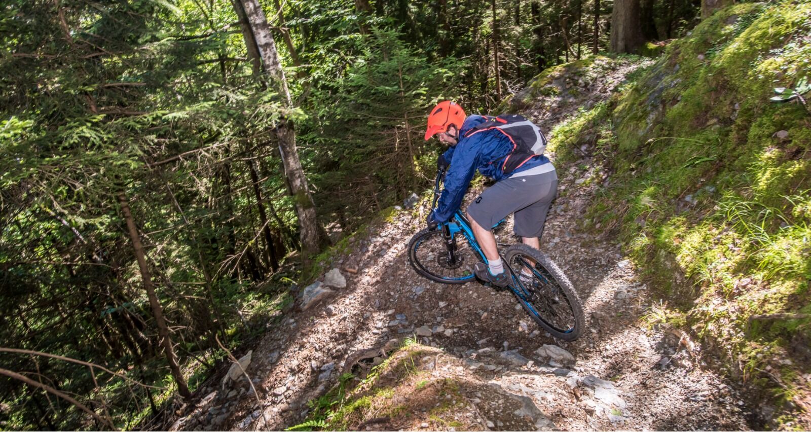
The climb for all MTB routes of Castello dell'Acqua takes place along the municipal road that rises from the valley bottom (Sentiero Valtellina rest area near the Sports Field of the Cavallari hamlet), passes through the Town Hall square, and continues up to Alpe Piazzola and its splendid views over the Valtellina (elevation 1200 m). The road is asphalted up to about 920 m elevation where it becomes a dirt track with a good surface. The slope is mainly around 7-8% with some easier stretches and others tougher, exceeding 10%. The effort can be avoided by driving up to the small parking lot at Ca' Gianni (elevation 860 m), or up to Alpe Piazzola, by purchasing a permit at authorized retailers of the Alpe Piazzola Reclamation Consortium. The route is fun and of medium difficulty, the surface is almost always compact, the curves are wide, and the sections with steps are few and not prohibitive. This descent, like that of Sugarel, is more difficult and technical than the other two in the area. After a dirt road section below Alpe Piazzola, the descent begins on a fairly narrow and steep path. The surface is initially compact, then progressively rougher with loose stones. Two hairpin bends are negotiated, continuing downhill through the woods sometimes on a cobblestone surface, with natural steps and ancient stone walls on the sides: focus and MTB control skills are needed, but it also brings satisfaction and fun along with the pleasure of descending in a charming natural environment. The first part ends on the Val Malgina road; from here a wider but still cobbled mule track leads to the ethnographic route area at Ca' D'Albert passing through Pila and the Mill (there is also a trattoria nearby in the Cortivo hamlet). In the last stretch, the path returns to a steep and narrow trail with some technical parts (hairpin with steps). Finally, it reaches the valley bottom where the Forge can be visited.


Popularne wycieczki w okolicy
-
4,5
Rifugio Curo’ e lago del Barbellino - lago naturale del Barbellino - lago Gelt
ciężkiWędrówka 26,4 km -
4,0
Valbondione-Curò
średniWędrówka 7,02 km -
Val dal Saient - Short version
Wędrówka 11,4 km -
5,0
Brunone
średniWycieczki górskie 15,0 km -
Szlak Valtellina
średniJazda na rowerze 113,2 km -
3,0
Gentle Forest Trail
światłoWędrówka 4,46 km -
5,0
Pian di Gembro Nature Reserve loop (1350 m)
światłoWędrówka 4,81 km -
Via Dei Terrazzamenti
średnidługodystansowy szlak pieszy 74,1 km -
3,0
Cima Meriggio
światłoWędrówka 11,6 km -
434 Col d'Anzana
ciężkiMountainbike 33,8 km
Wędrówki i tropienie


Nie przegap ofert i inspiracji na następne wakacje
Twój adres e-mail została dodana do listy mailingowej.


