


SV_23 Vignolo - Colle del Prione - Monte Galero
from the square below the village of Vignolo (467 m) take the cobblestone little mule-track to the right which steeply rises between the ancient house as far as the dirt road to Colle del Prione. Cross...
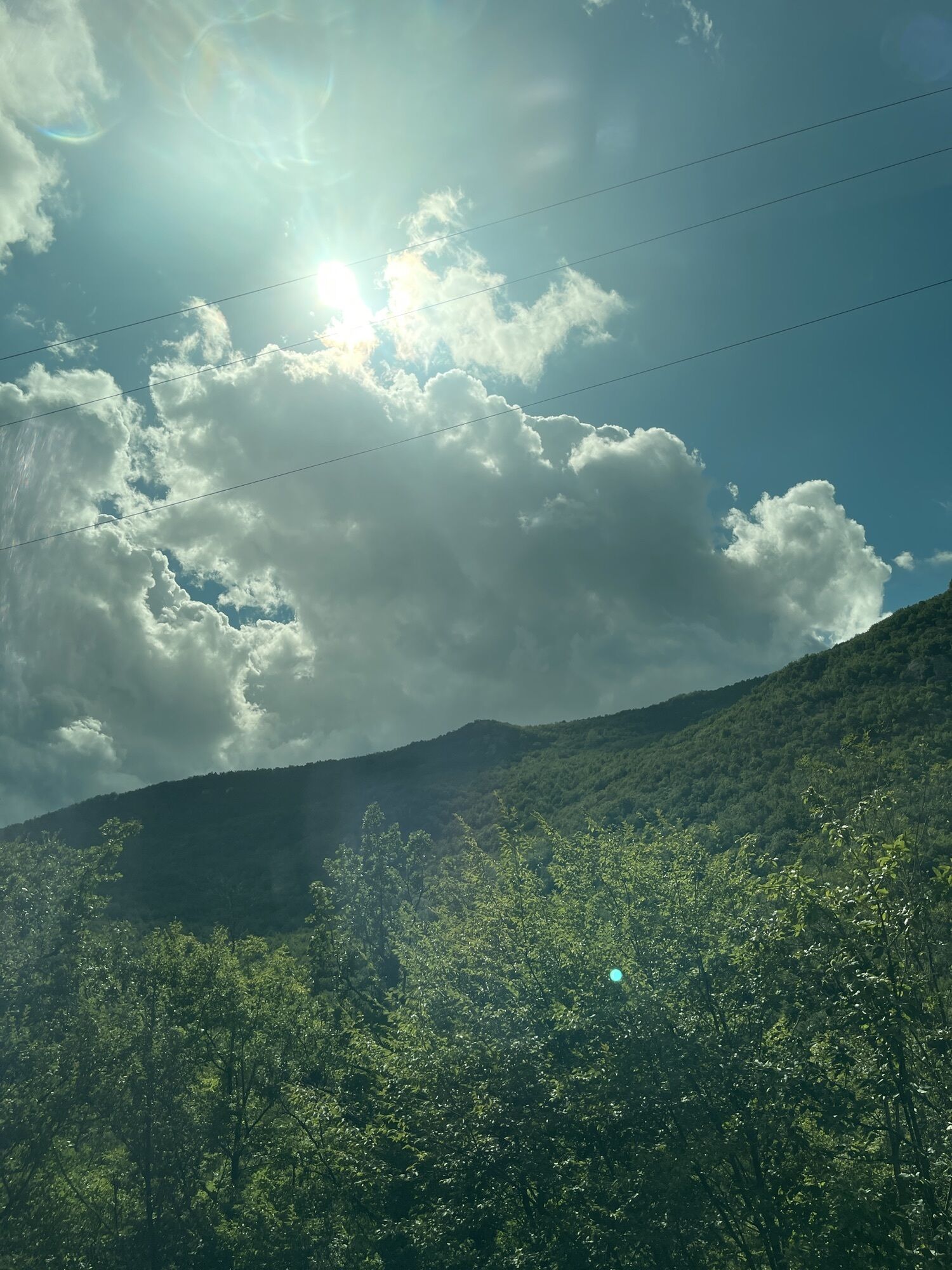
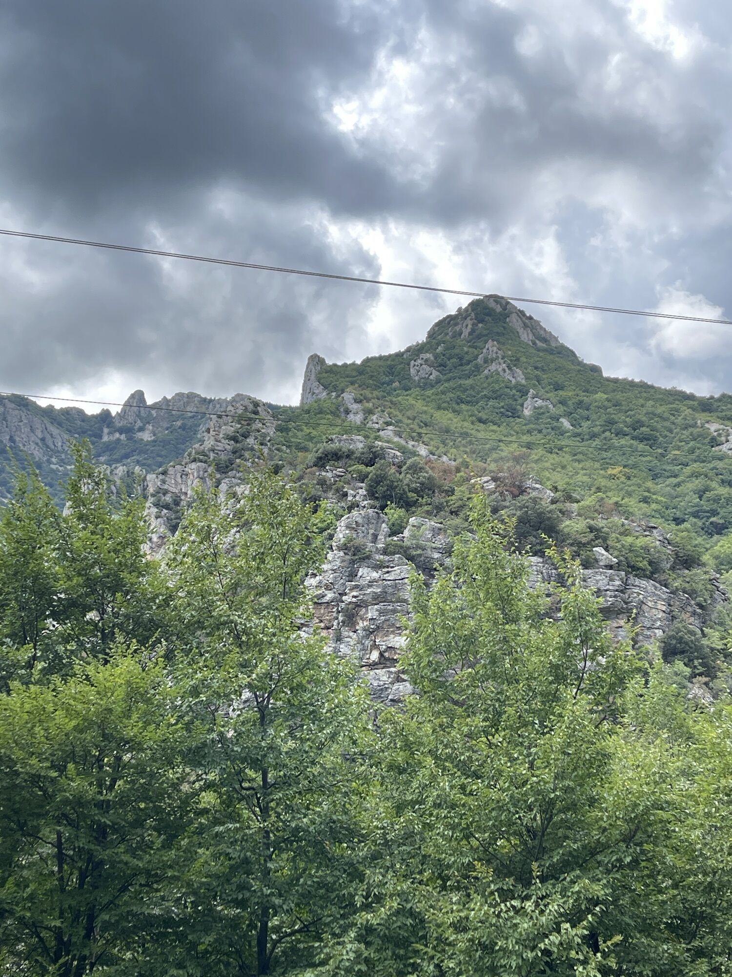
from the square below the village of Vignolo (467 m) take the cobblestone little mule-track to the right which steeply rises between the ancient house as far as the dirt road to Colle del Prione. Cross this road and carry on walking on the mule-track finding the dirt road again by the ruins of Chiesetta di San Pietro (696 m). Carry on walking on the dirt road for 400 m as far as a hairpin turn: here you join the mule-track again which turns left into a chestnut wood. Here you meet the dirt road again, which you follow for half a km going left, as far as a concrete little bridge. Just after the bridge, at a fork, take the right road but in a few dozen metres leave it to join a mule-track which rises between the beech trees. At a hairpin turn turn off this mule-track and take a less evident footpath to the left. By Casa Ciocca (1072 m) you cross the dirt road again and continue on the grasses leftwards. Walking uphill between little woods and clearings you pass Casa Colombo (1117 m) and reach Colle del Prione (1309 m, 2.30-3 hours from Vignolo) between Pennavaira and Tanaro Valleys. Here you find the AVML which you follow towards North-east along a panoramic ridge: past a steep climb you walk around some minor hills along the Pennavaira side first, and then on the opposite side (Tanaro). You then reach a pass at 1495 m where you ignore on the left the footpath of Via Alpina and carry on walking uphill along the steep watershed between pinnacles and peaks characterised by particular shapes. Leaving the western peak on the left, you reach the pass between the two summits and shortly gain the main summit of Monte Galero (1708 m; 1.40 h from Colle del Prione). The return is along the same itinerary.

by car from Albenga motorway exit (A10 Genova-Ventimiglia) drive for Garessio as far as Martinetto; here turn to the left, take the road rising the Pennavaira Valley. Past Nasino, turn right as far as Vignolo.
Nature and Landscape * * * * * Family * * Gourmet * * * * Culture * * * *
Popularne wycieczki w okolicy
IM_22 Le fortificazioni del Colle di Nava
Wędrówka 6,01 kmSentiero Liguria Trail 22 Variant 1 Toirano-Arnasco
ciężkiWędrówka 27,0 kmTrail no. 13: Giogo di Toirano - Giogo di Giustenice
Wędrówka 4,54 kmTrail No. 10: Colle San Bartolomeo d'Ormea - Colle San Bartolomeo di Garessio
Wędrówka 13,0 kmPieve di Teco - Cenova / Smugglers' Route (stage 3)
średniWędrówka 4,27 kmCastelvecchio di Rocca Barbena - Zuccarello, Ligurien/Italien
średniWędrówka 10,0 kmSV_18 Dal Giogo a Toirano
Wędrówka 10,5 kmLoop of Forts' Valley
ciężkiMountainbike 17,4 kmSentiero Tanaro: Tappa 8 Garessio (Borgata Pian Bernardo, Fraz. di Trappa) - Ormea
światłoJazda na rowerze 11,3 kmThe Salt Routes: The Smugglers' Route
średnidługodystansowy szlak pieszy 117,7 km
Wędrówki i tropienie


Nie przegap ofert i inspiracji na następne wakacje
Twój adres e-mail została dodana do listy mailingowej.