





GE_02 Sestri Levante – Punta Manara
From Sestri Levante town centre (via XXV Aprile, pedestrian area; 5 minutes from the railway station) take vico del Bottone under an archway (signs for Punta Manara). As soon as you enter the alley, turn...
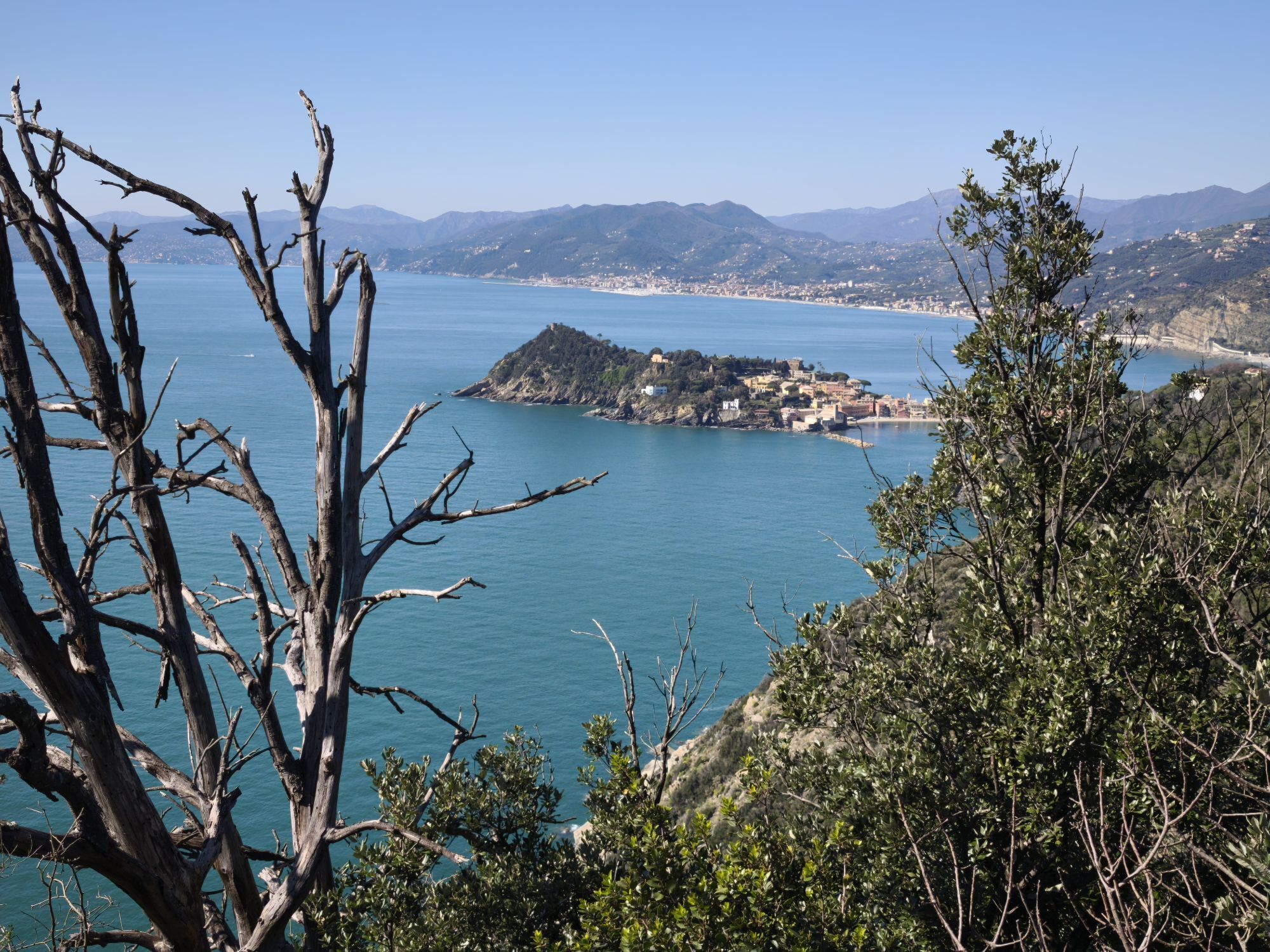
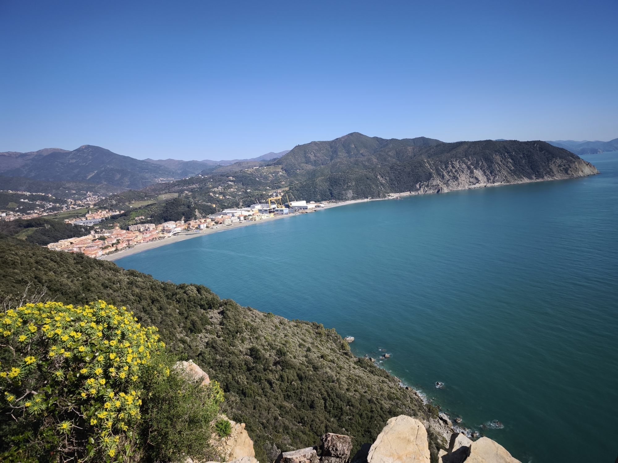
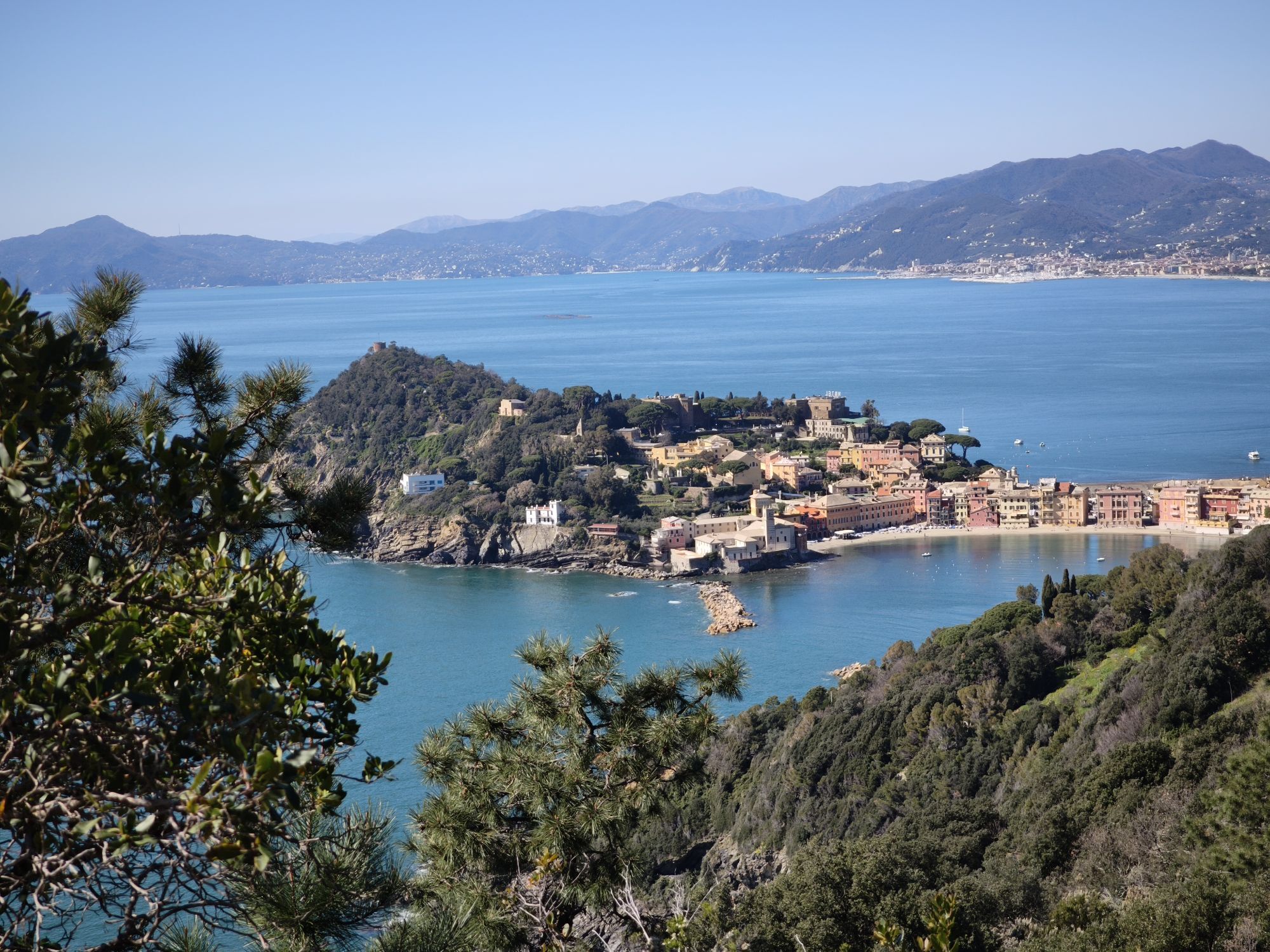
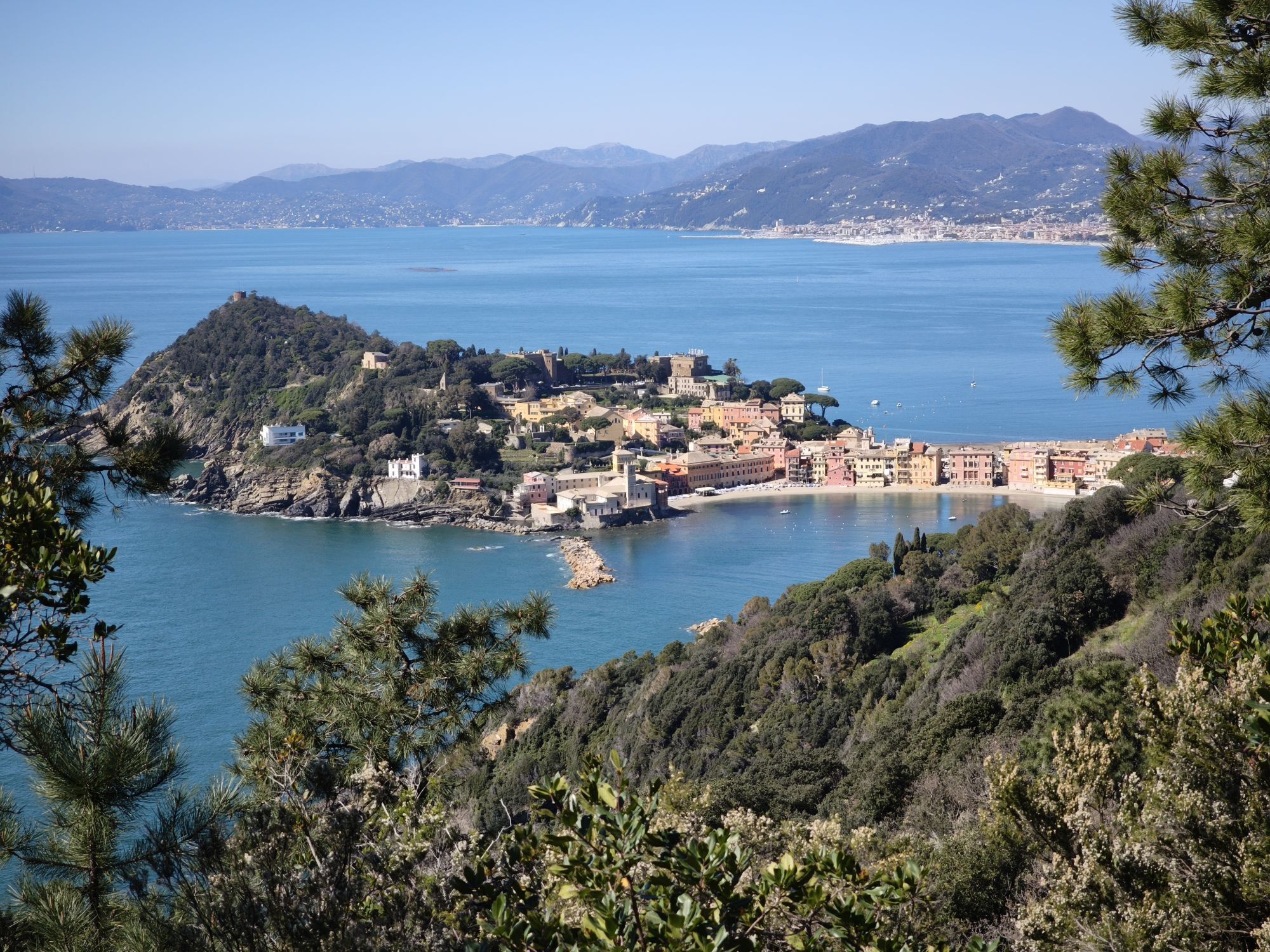
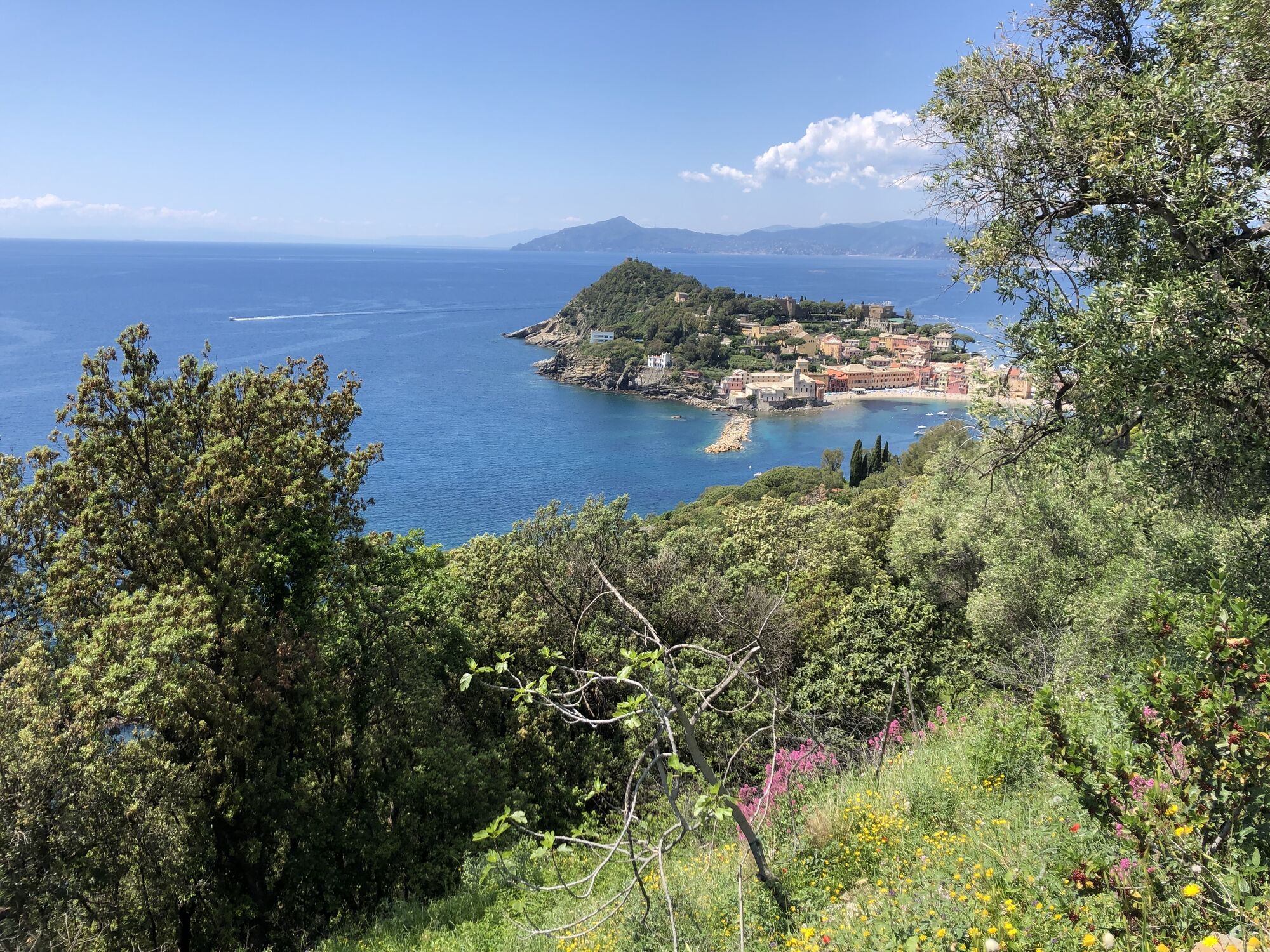
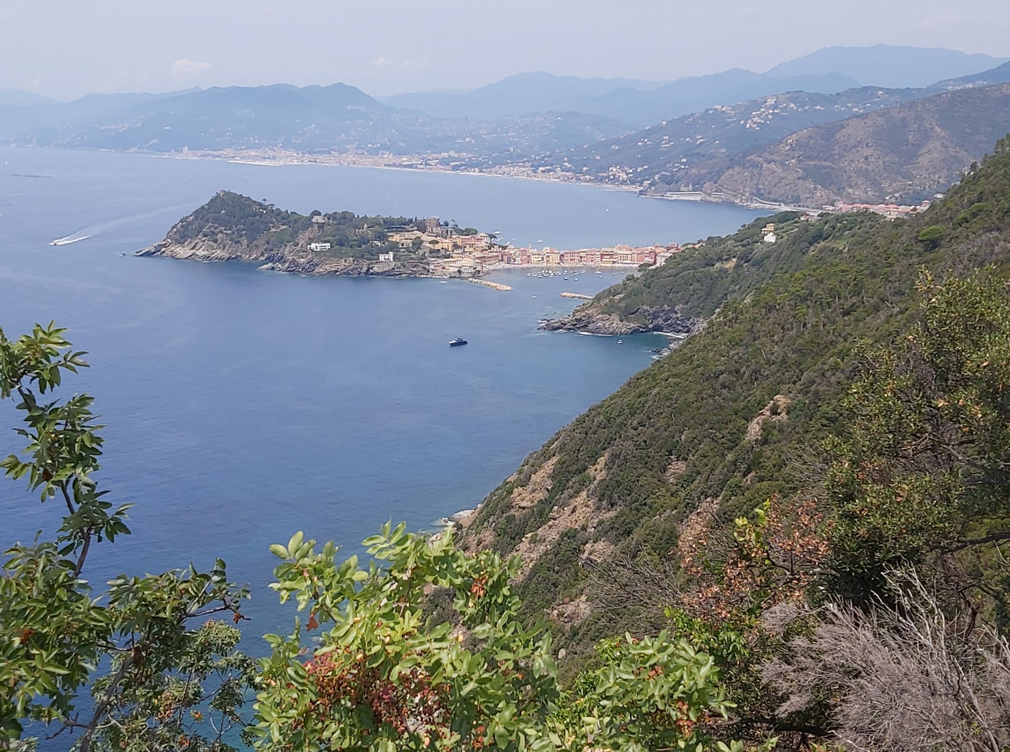
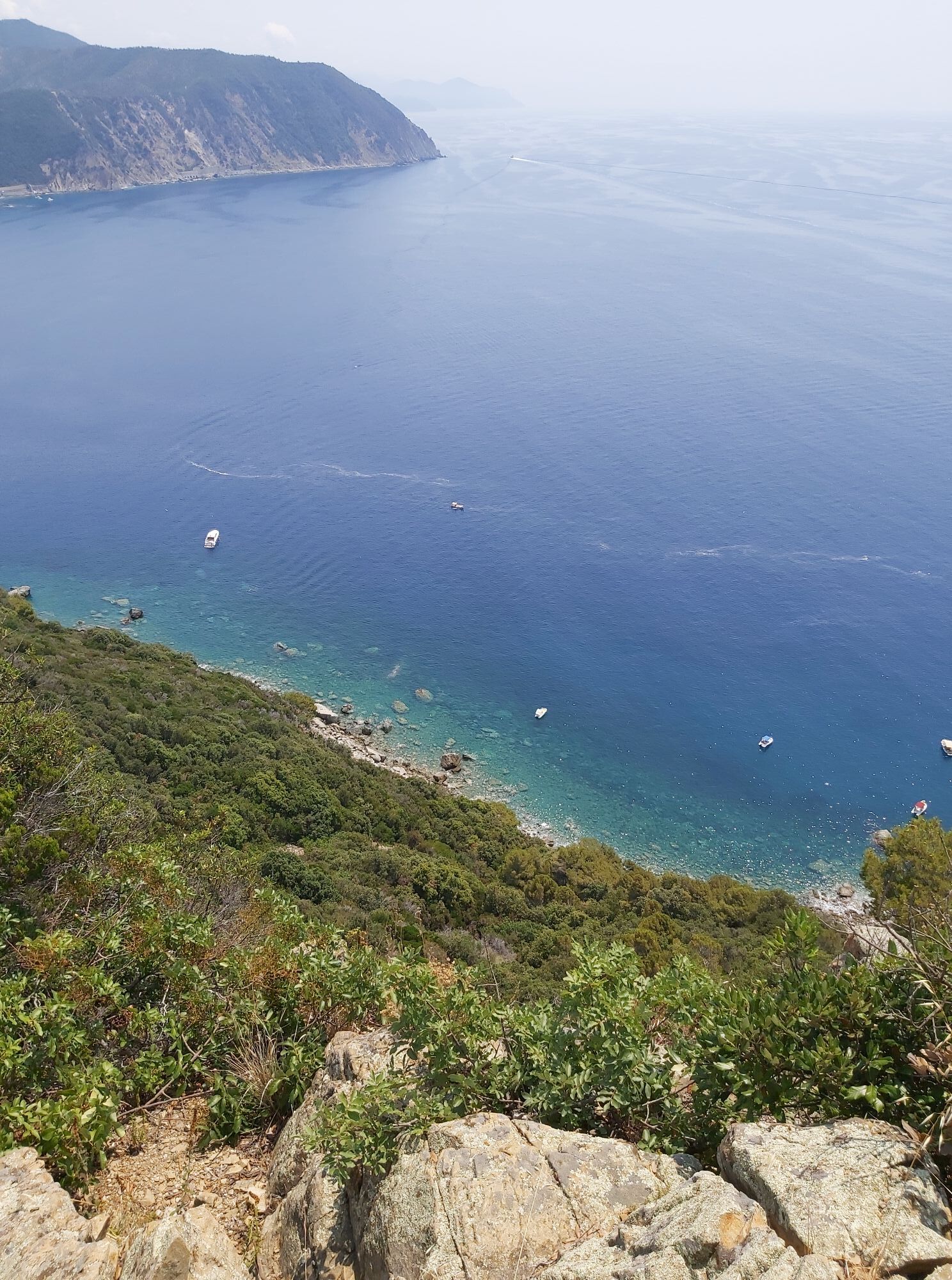
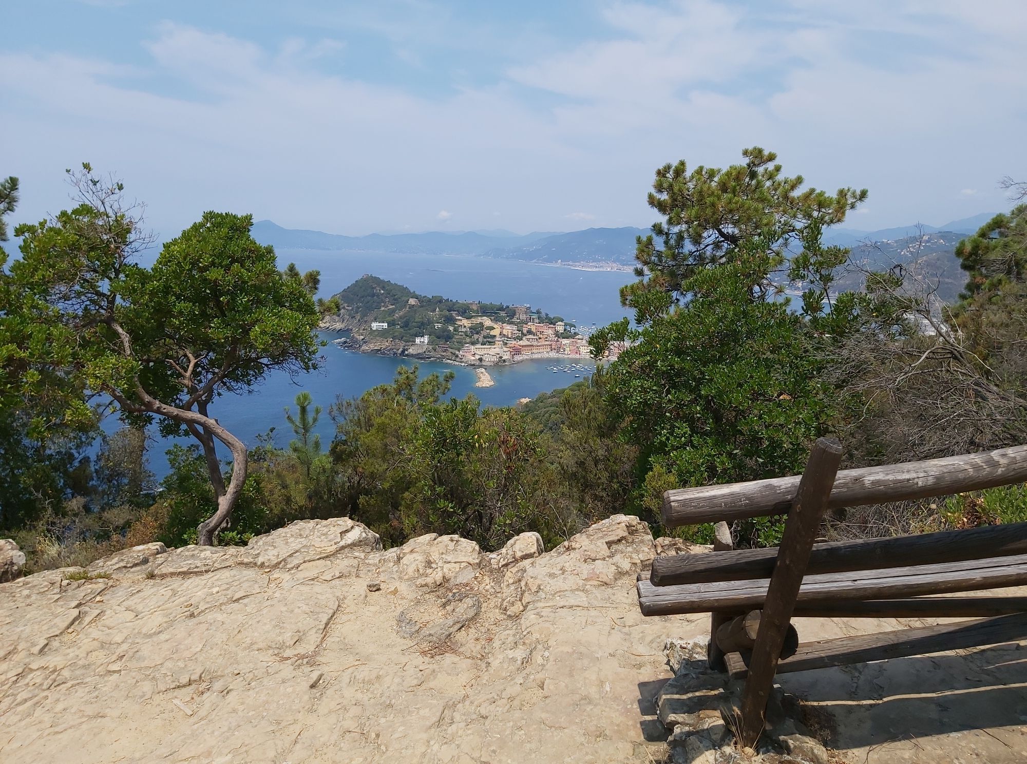
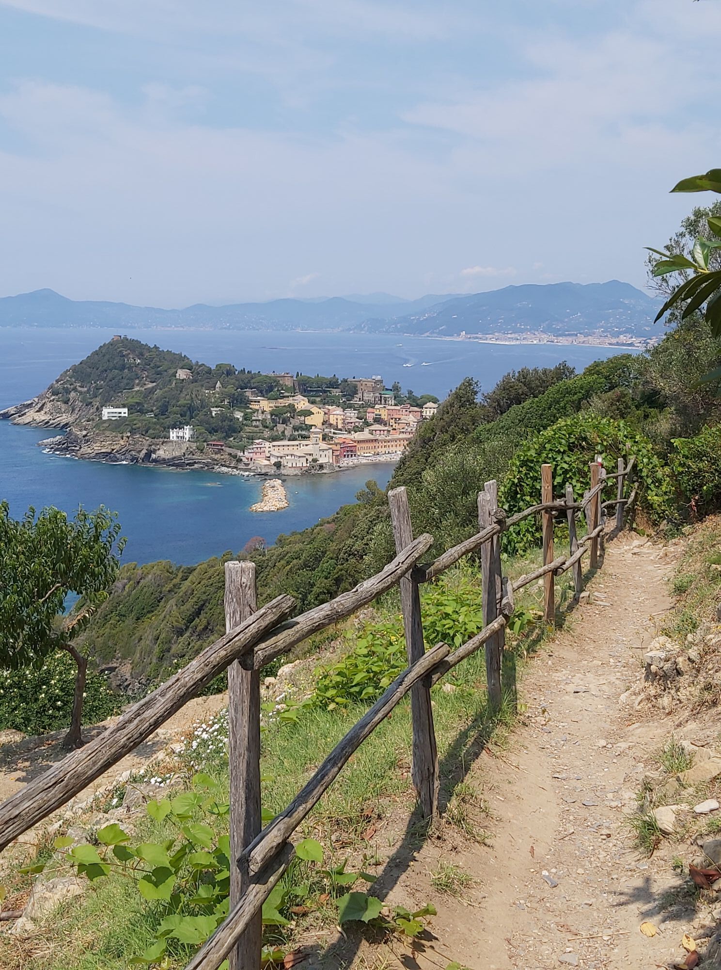
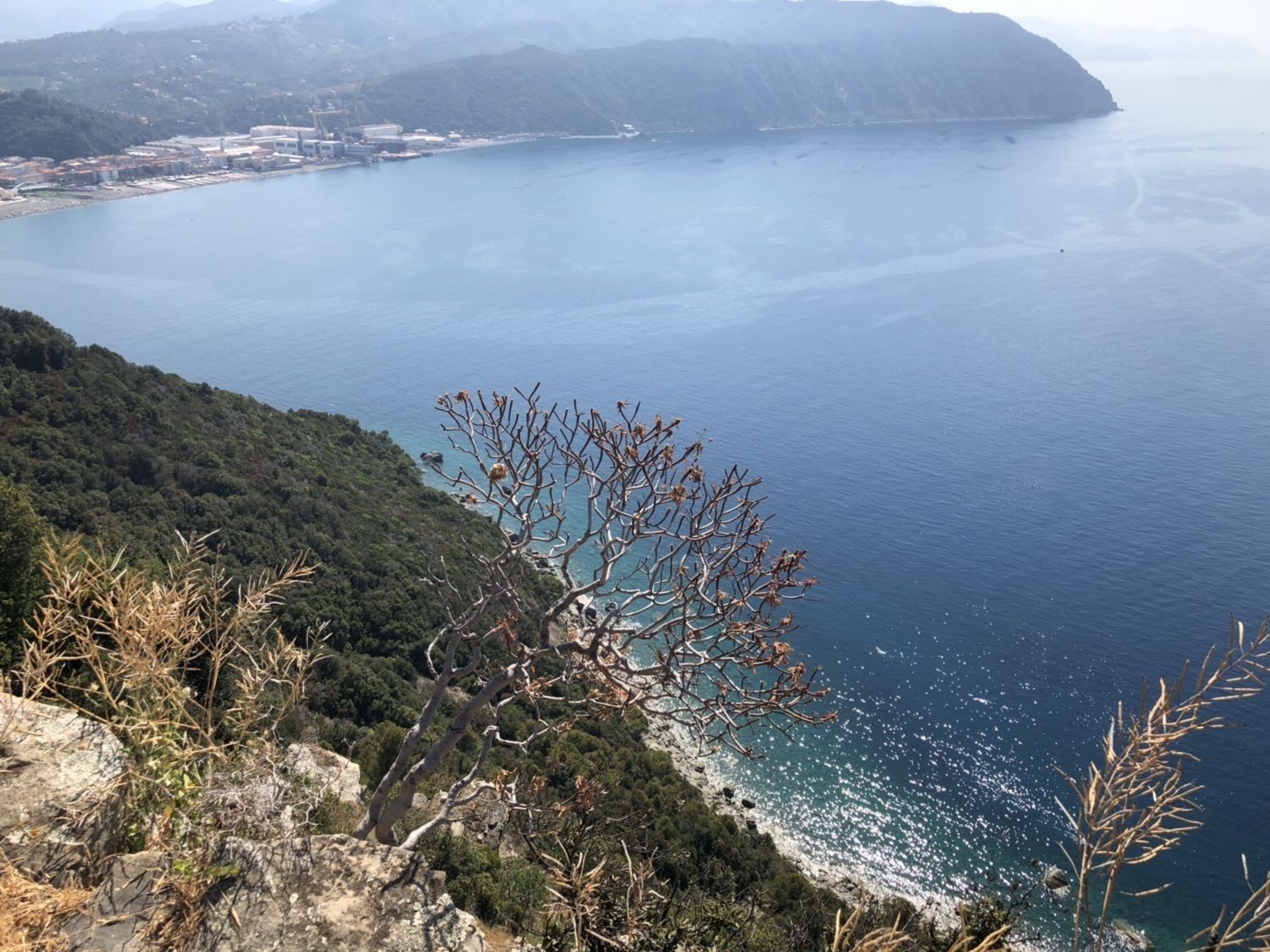
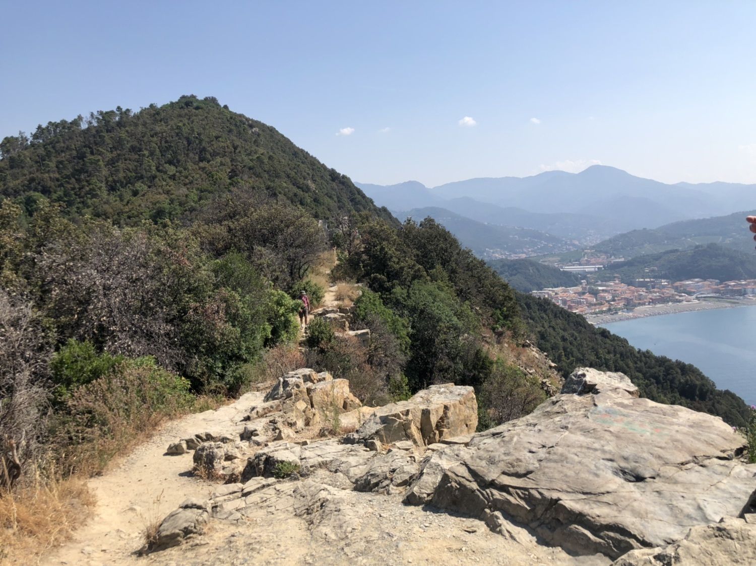
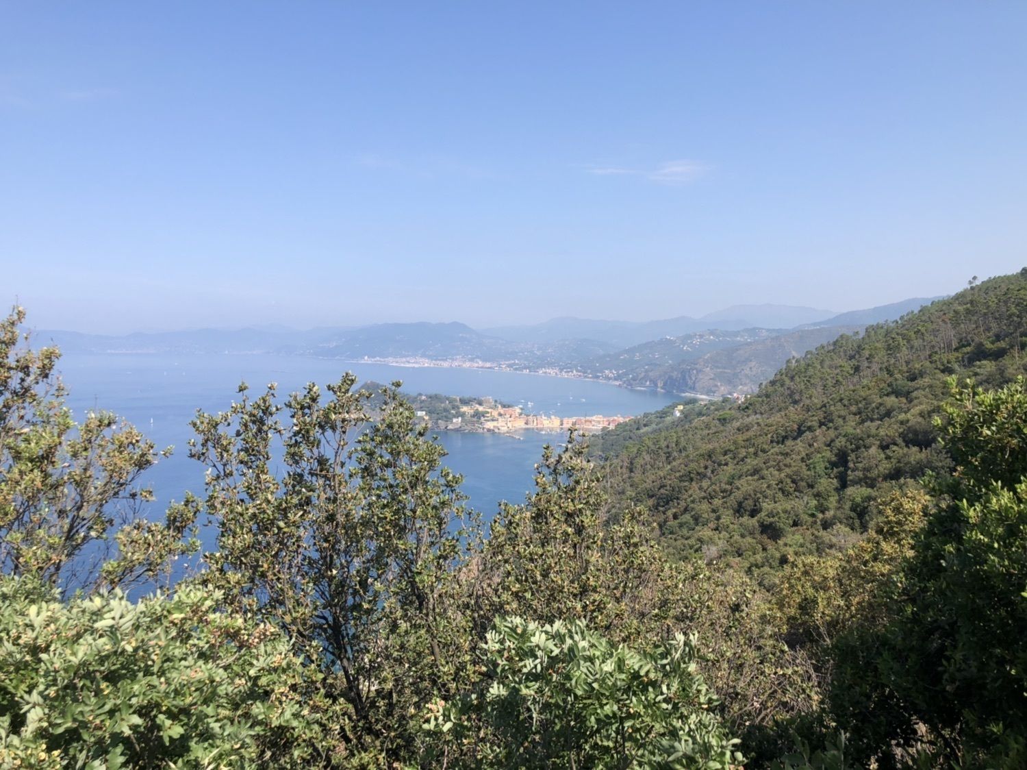
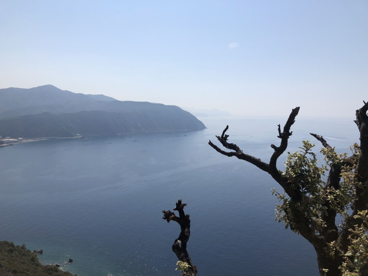
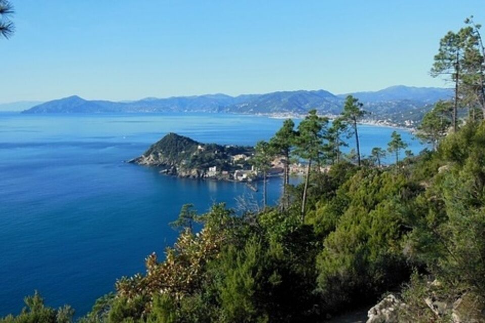
From Sestri Levante town centre (via XXV Aprile, pedestrian area; 5 minutes from the railway station) take vico del Bottone under an archway (signs for Punta Manara). As soon as you enter the alley, turn left to salita Mandrella which rises surrounded by two walls. Walking through olive groves and terraces you reach Casa Mandrella, located in a panoramic location, thence in Colla Mandrella (113 m): here, at the crossroads with panel signs, ignore the path towards the north side of Monte Castello. Carry on walking along the southern side which faces the sea, passing a rocky stretch with stone steps carved and then walking along the hillside in the woodland, between pines, holm oaks and some specimens of relict cork oaks. Ignoring a deviation on the left indicated by two red circles you shortly reach the rocky flat area of Telegrafo (153 m) by steep stairs. This is an ancient watch tower, today ruined, located in a wonderful panoramic site overlooking the sea and the promontory of Punta Manara (1-1.30 hour). The return is along the same path (2.45 hours total).


By train, get off at Sestri Levante station (Genova-La Spezia railway line).
By car, motorway exit: Sestri Levante (A 12 Genova-Livorno); parking around the station or along the via Aurelia.
Nature and Landscape * * * * * * Family * * * * * * Gourmet * * * * * Culture * * * * *

Popularne wycieczki w okolicy
-
5,0
Leg 7 from Moneglia to Sestri Levante
Wędrówka 15,2 km -
5,0
GE_05 The five steeples of Zoagli
światłoWędrówka 11,4 km -
High Variant Leg 8 Chiavari – Montallegro - Rapallo
Wędrówka 13,8 km -
5,0
GE_04 Ride to Bargone ring
Wędrówka 9,84 km -
5,0
Sestri Levante, Monte Castello, Riva Trigoso
średniWędrówka 8,46 km -
GE_03 Ring path of Zatta Mount
Wędrówka 14,4 km -
Leg 6 from Bonassola to Moneglia
Wędrówka 17,0 km -
GE_01 Sanctuary of Velva - Monte Alpe di Maissana
ciężkiWędrówka 14,4 km -
Cani Sant'Anna
średniMountainbike 4,25 km -
U Turiun
średniMountainbike 2,95 km

Wędrówki i tropienie


Nie przegap ofert i inspiracji na następne wakacje
Twój adres e-mail została dodana do listy mailingowej.





