


Torre dell’Orologio (Levanto)
Zdjęcia naszych użytkowników
-
 © Christian K. 1Utworzono dnia 06.12.2025
 -

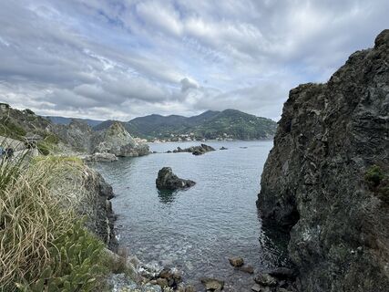
 © Alexandra von RheinbabenUtworzono dnia 06.10.2025
 -
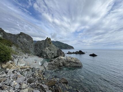
 © Alexandra von RheinbabenUtworzono dnia 06.10.2025
 -
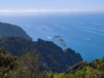
 © Alexandra von RheinbabenUtworzono dnia 06.10.2025
 -
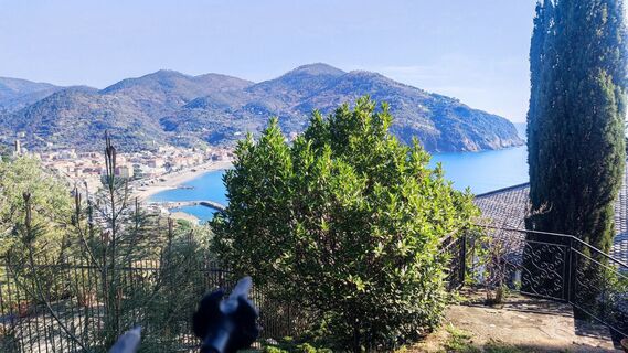
 © Alexandra von RheinbabenUtworzono dnia 06.10.2025
 -
 © Alexandra von RheinbabenUtworzono dnia 06.10.2025
 -
 © Alexandra von RheinbabenUtworzono dnia 06.10.2025
 -

 © Timm BoldtUtworzono dnia 12.05.2025
 -
 © Timm BoldtUtworzono dnia 12.05.2025
 -
 © Timm BoldtUtworzono dnia 12.05.2025
 -
 © Timm BoldtUtworzono dnia 12.05.2025
 -
 © Timm BoldtUtworzono dnia 12.05.2025
 -
 © Timm BoldtUtworzono dnia 12.05.2025
 -
 © Timm BoldtUtworzono dnia 12.05.2025
 -
 © Timm BoldtUtworzono dnia 12.05.2025
 -
 © Stefano FabiUtworzono dnia 26.04.2025
 -
 © Stefano FabiUtworzono dnia 08.03.2025
 -
 © Stefano FabiUtworzono dnia 08.03.2025
 -
 © Stefano FabiUtworzono dnia 08.03.2025
 -
 © Stefano FabiUtworzono dnia 08.03.2025
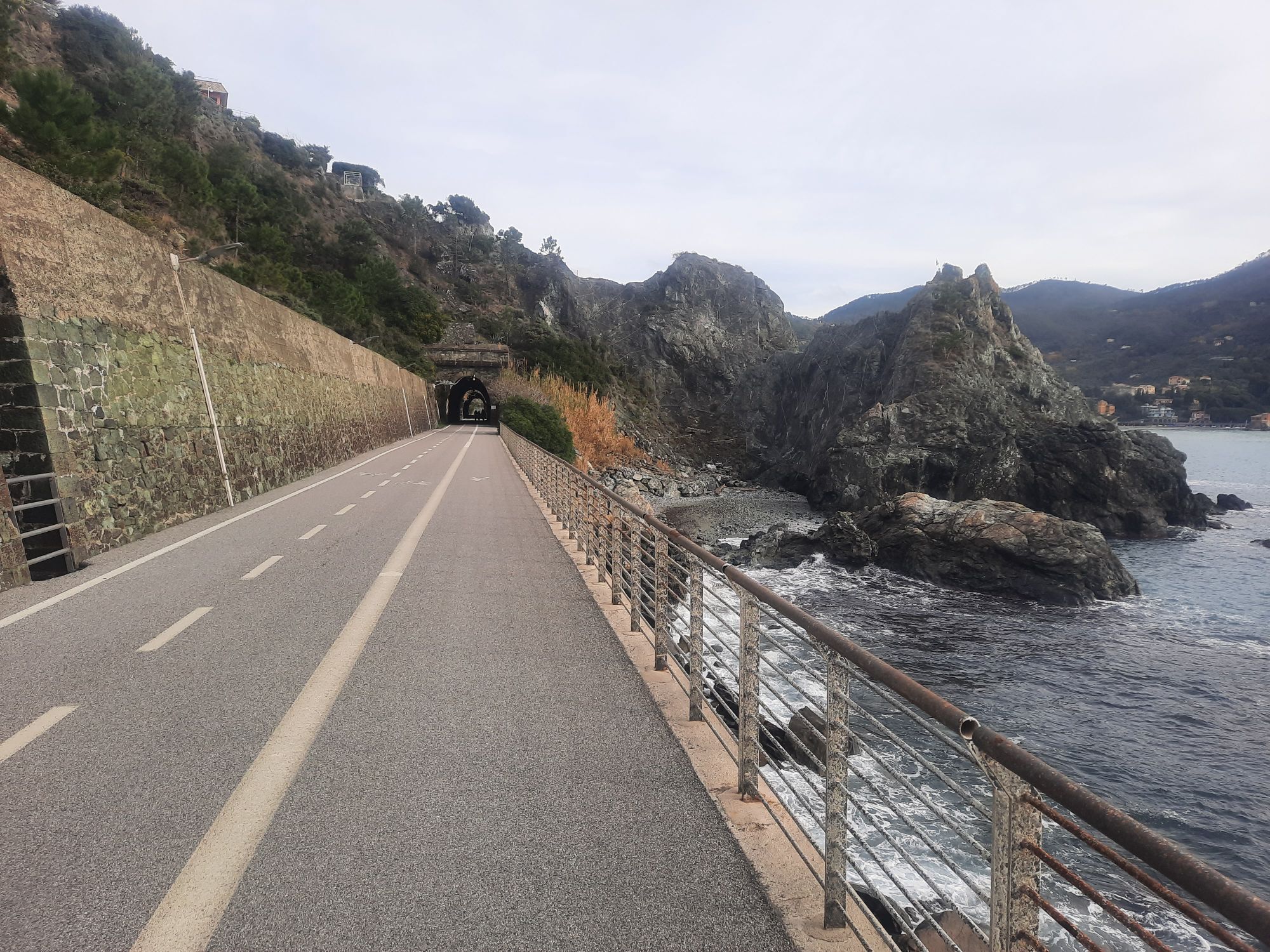
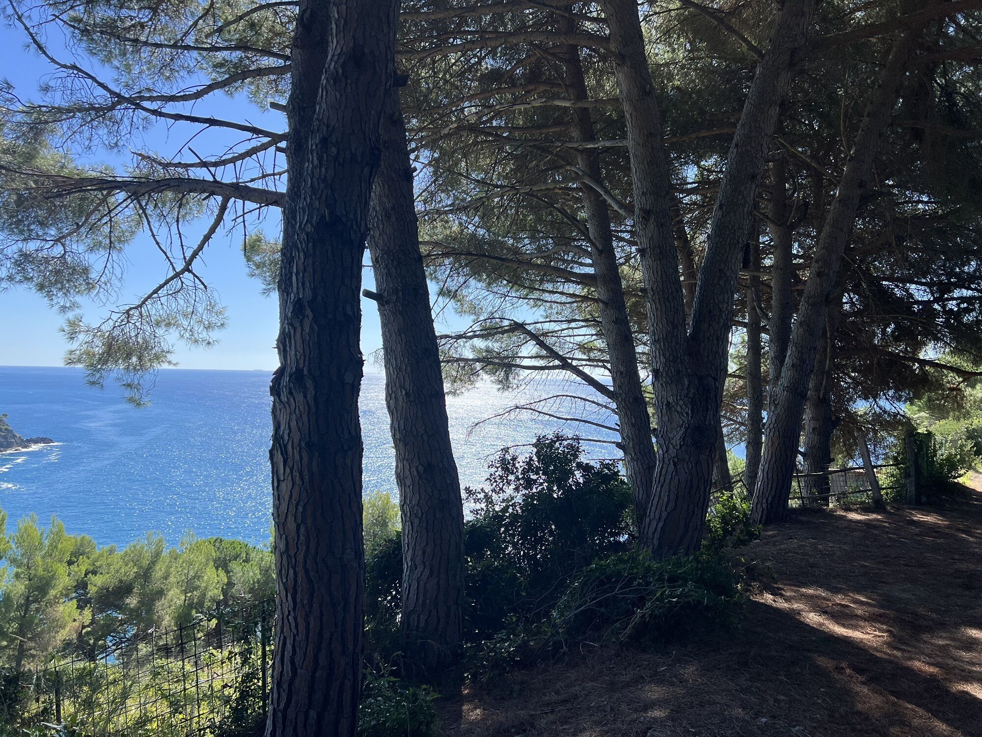


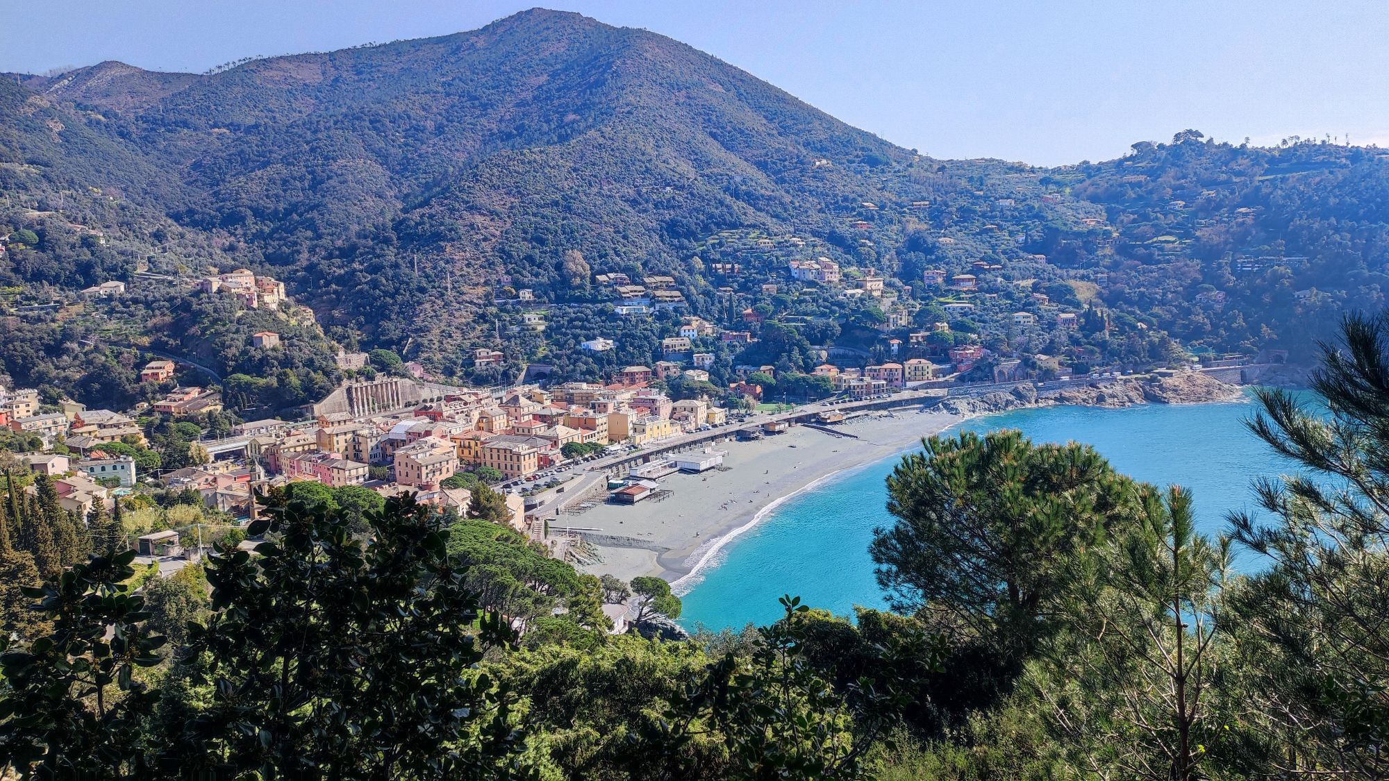
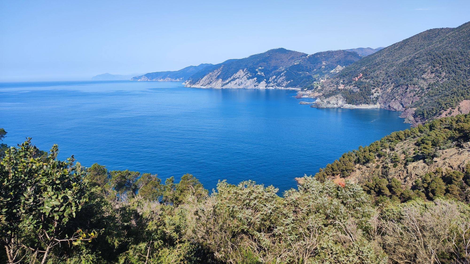
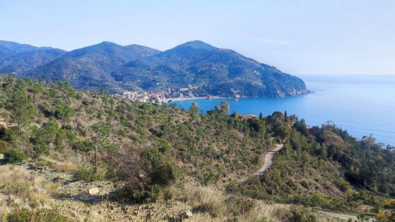
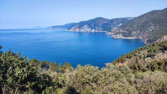
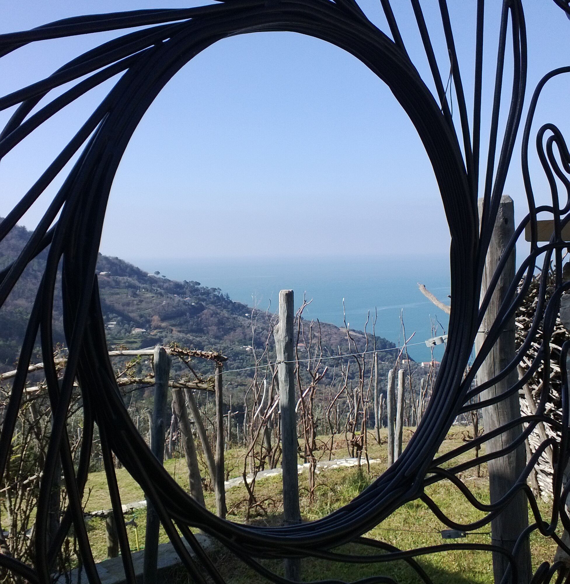
The beautiful mountain bike route with a demanding descent starts in the sunny town of Levanto. We ride uphill about 900 meters in elevation on a not too steep paved road. The last section of the ascent...
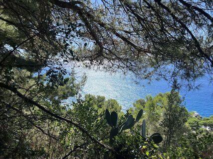
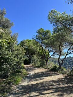
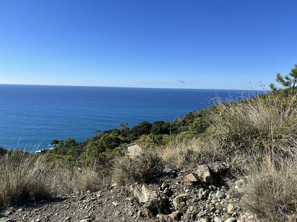
The beautiful mountain bike route with a demanding descent starts in the sunny town of Levanto. We ride uphill about 900 meters in elevation on a not too steep paved road. The last section of the ascent is a steep singletrail, so good fitness and riding skills are essential for this route. A fast descent with many jumps and berms takes us down. This section is suitable only for experienced mountain bikers. The route continues uphill and downhill on singletrails along the coastal slopes until we finally return to Levanto.

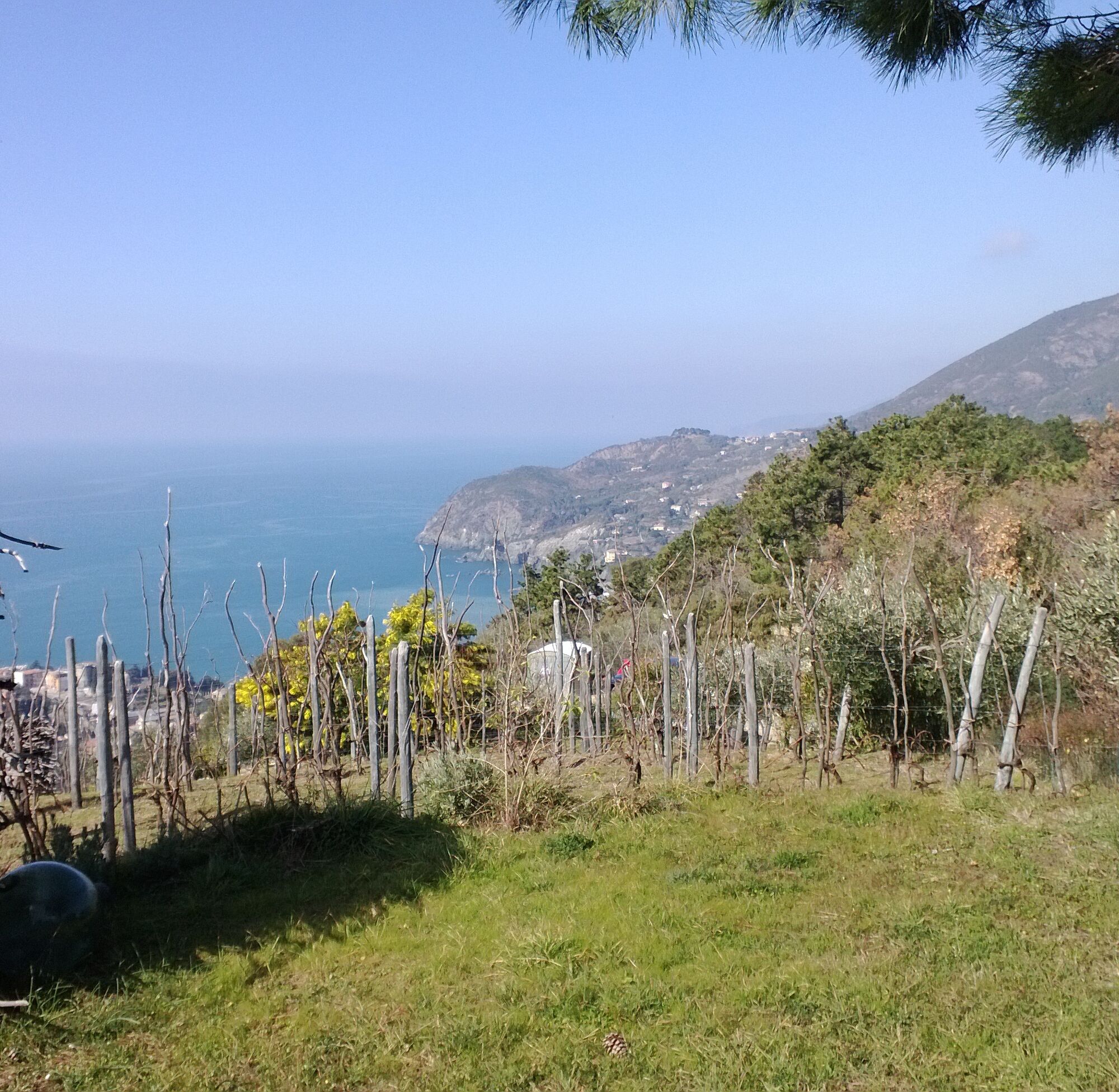
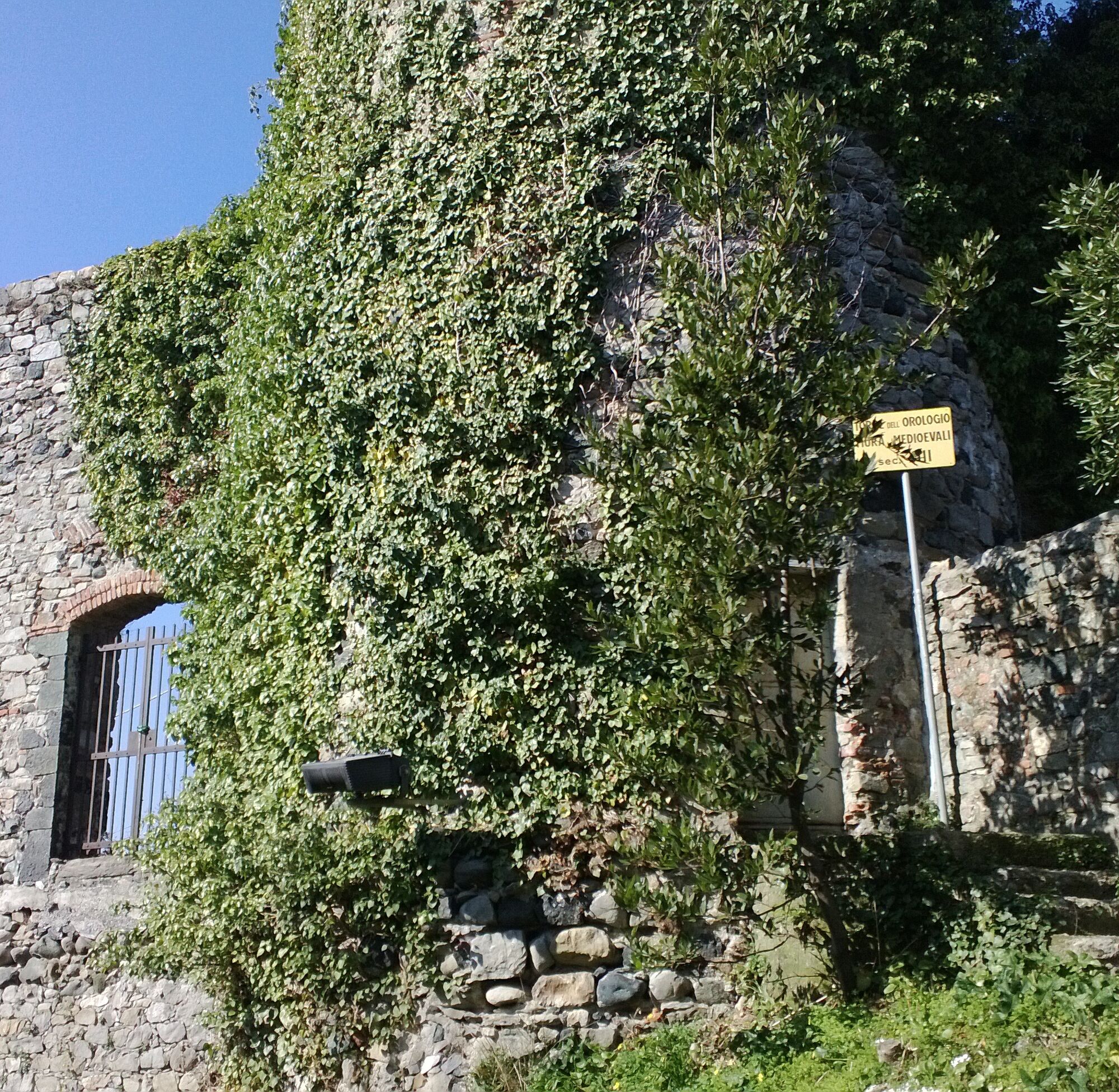
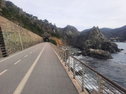
In Levanto, we follow the wide streets “Via Trento” and “Via Trieste” towards Bonassola. We pass Pian Pontasco Farm and turn left. We reach a junction where several paths meet and a large map of the REL is displayed. Here we turn right and follow the steep singletrail uphill. Later the path flattens and goes repeatedly uphill and downhill. We leave the dense pine forest and cross a track. Here we turn right and follow the path to a bench. From there begins the fast singletrail. We stay on the path until a junction. Here we keep left, cross a plateau, and follow the singletrail over steep uphill and downhill passages. At the forest edge, we follow the trail slightly downhill to the coast, where we reach a junction. We turn right and follow a wide track downhill. Via a road, we reach Foce di Dosso and Bardelone. We follow the road uphill, and after about 3 km a paved road turns left. Just a few meters from this junction, a trail turns left. We follow this quite technical section via Colle di Gritta, Madonna del Soccorso, Sopramare, Torre Orologio until we finally reach our starting point Levanto.
Popularne wycieczki w okolicy
-
4,8
SP_07 Manarola - Volastra - Corniglia
Wędrówka 5,75 km -
5,0
Levanto nach Monterosso
średniWędrówka 6,83 km -
4,1
Leg 4 from Riomaggiore to Monterosso
Wędrówka 15,1 km -
4,8
Monterosse - Vernazza
średniWędrówka 4,68 km -
5,0
Bonassola-Levanto-Monterosso
światłoWędrówka 10,9 km -
5,0
Leg 7 from Moneglia to Sestri Levante
Wędrówka 15,2 km -
5,0
SP_13 Ring path of Levanto
Wędrówka 8,18 km -
SP_21 Ciclopedonale Levanto – Bonassola – Framura
Wędrówka 6,70 km -
SP_12 Framura - Bonassola
Wędrówka 3,82 km -
SP_22 High Way of the Cinque Terre
Wędrówka 65,0 km
Wędrówki i tropienie


Nie przegap ofert i inspiracji na następne wakacje
Twój adres e-mail została dodana do listy mailingowej.