






SP_22 High Way of the Cinque Terre

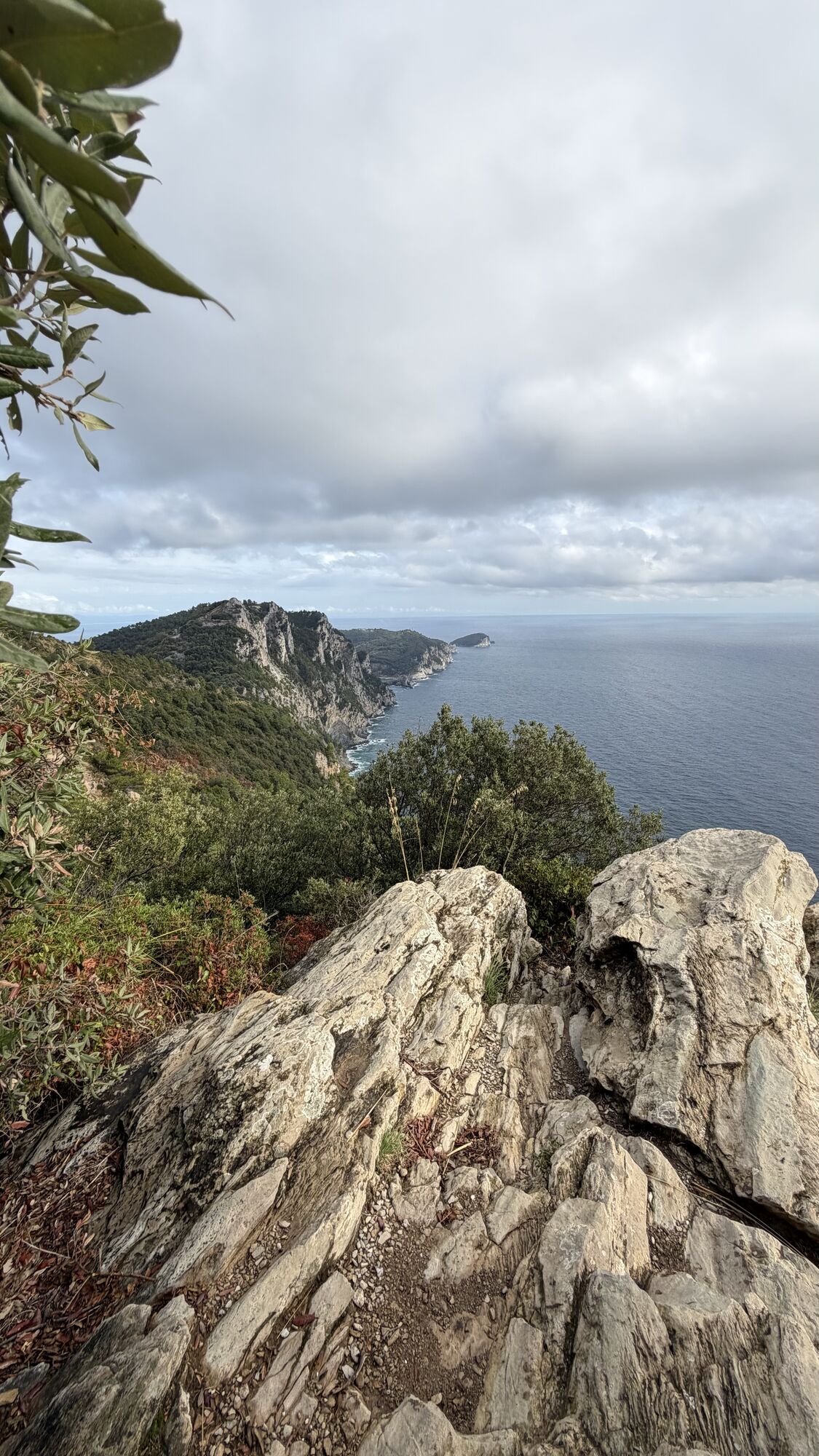
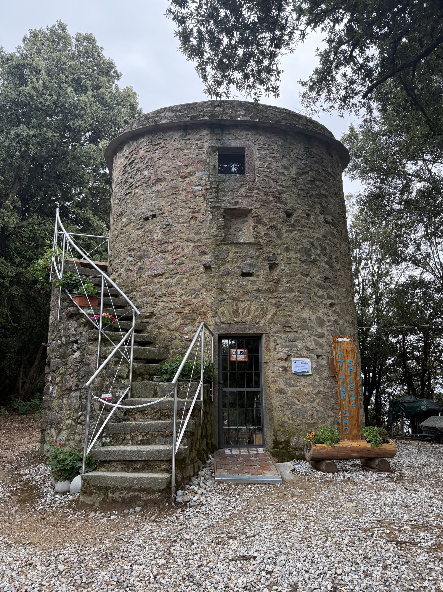
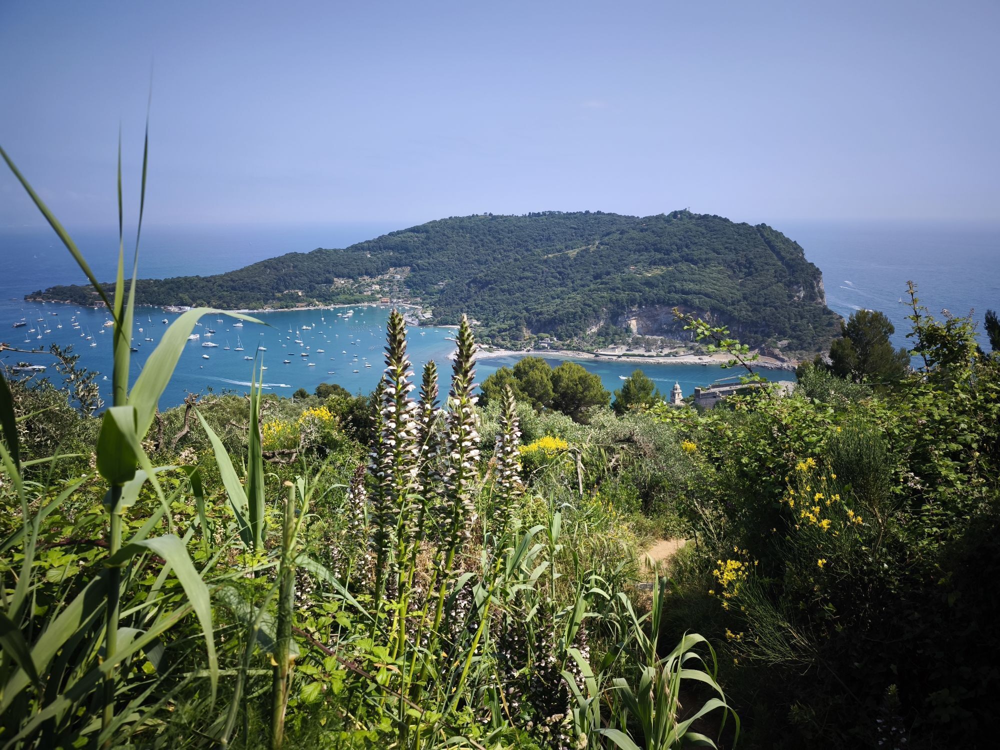
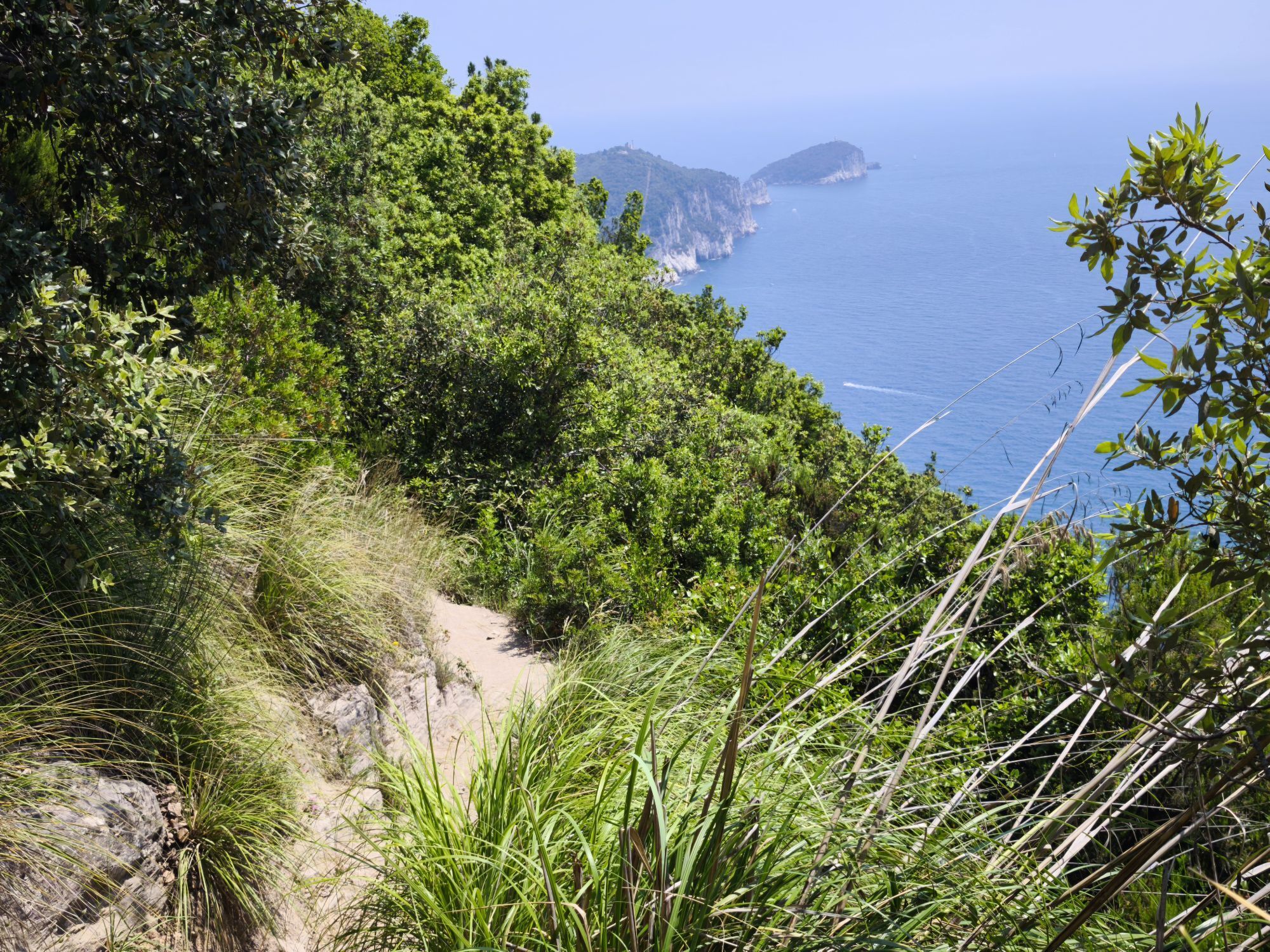
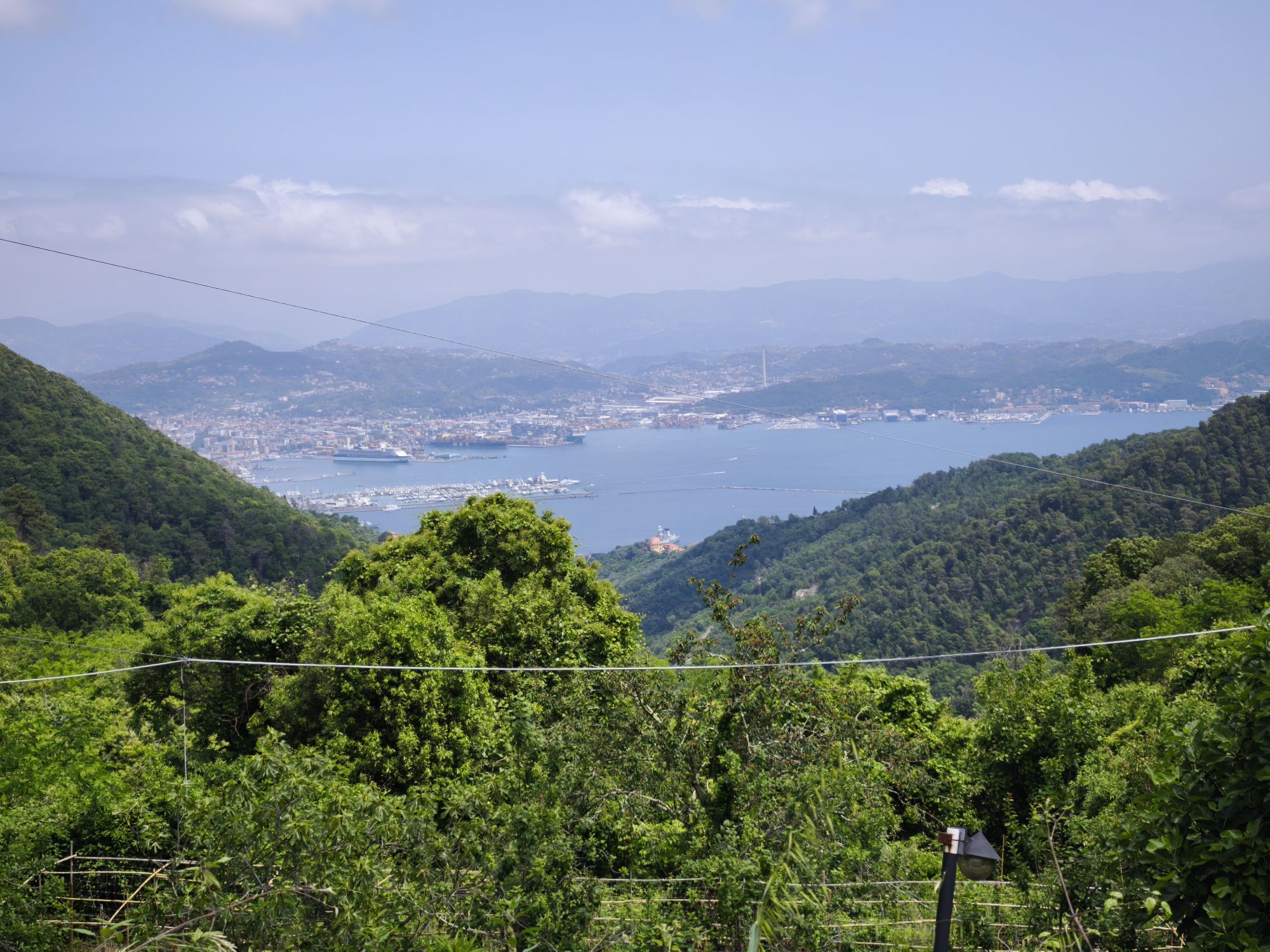
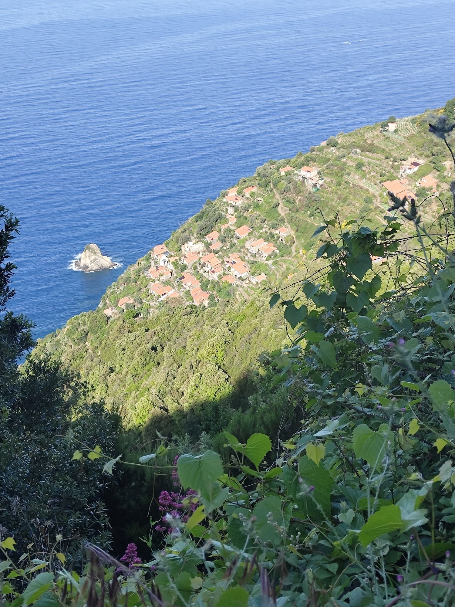
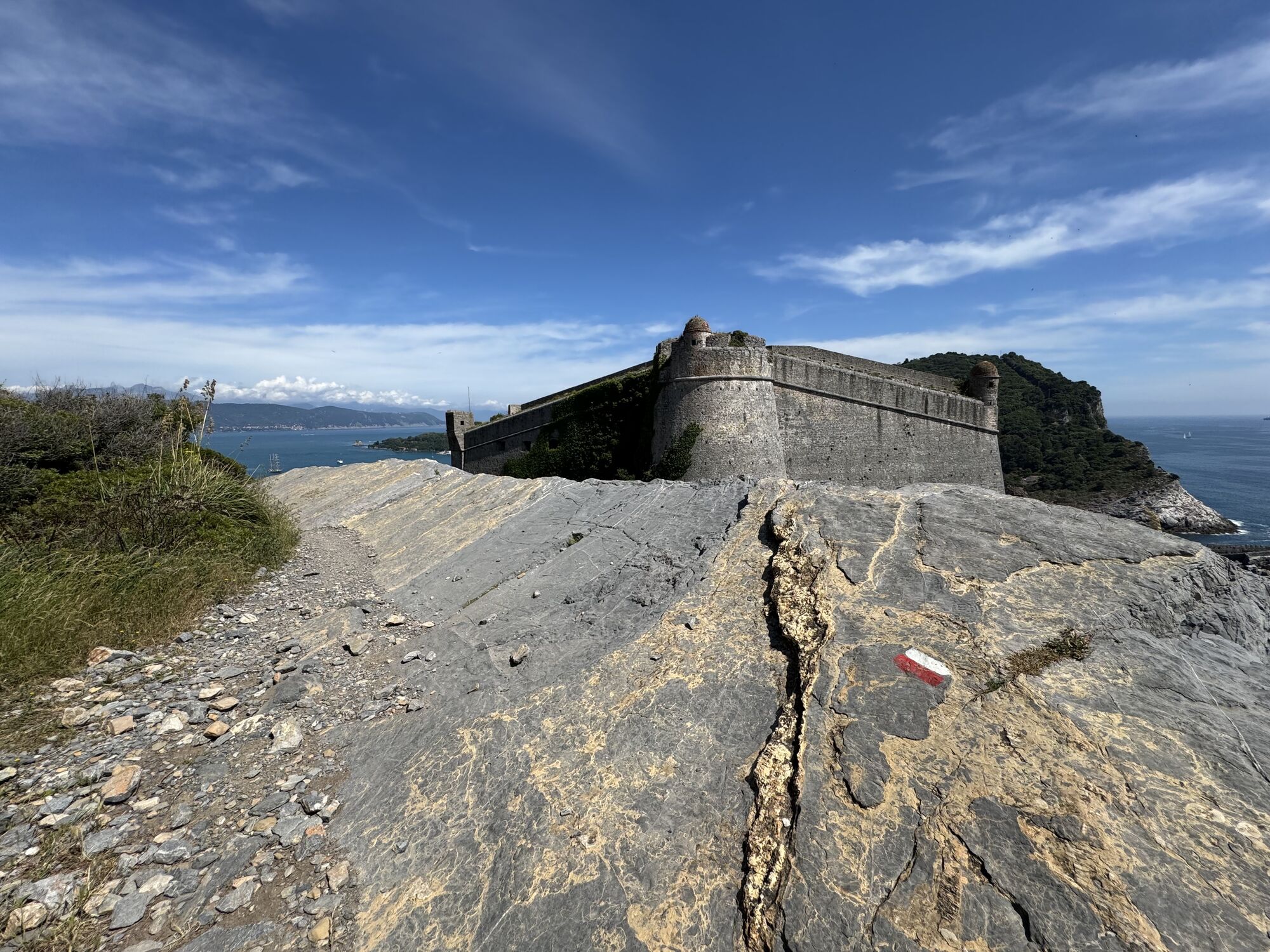
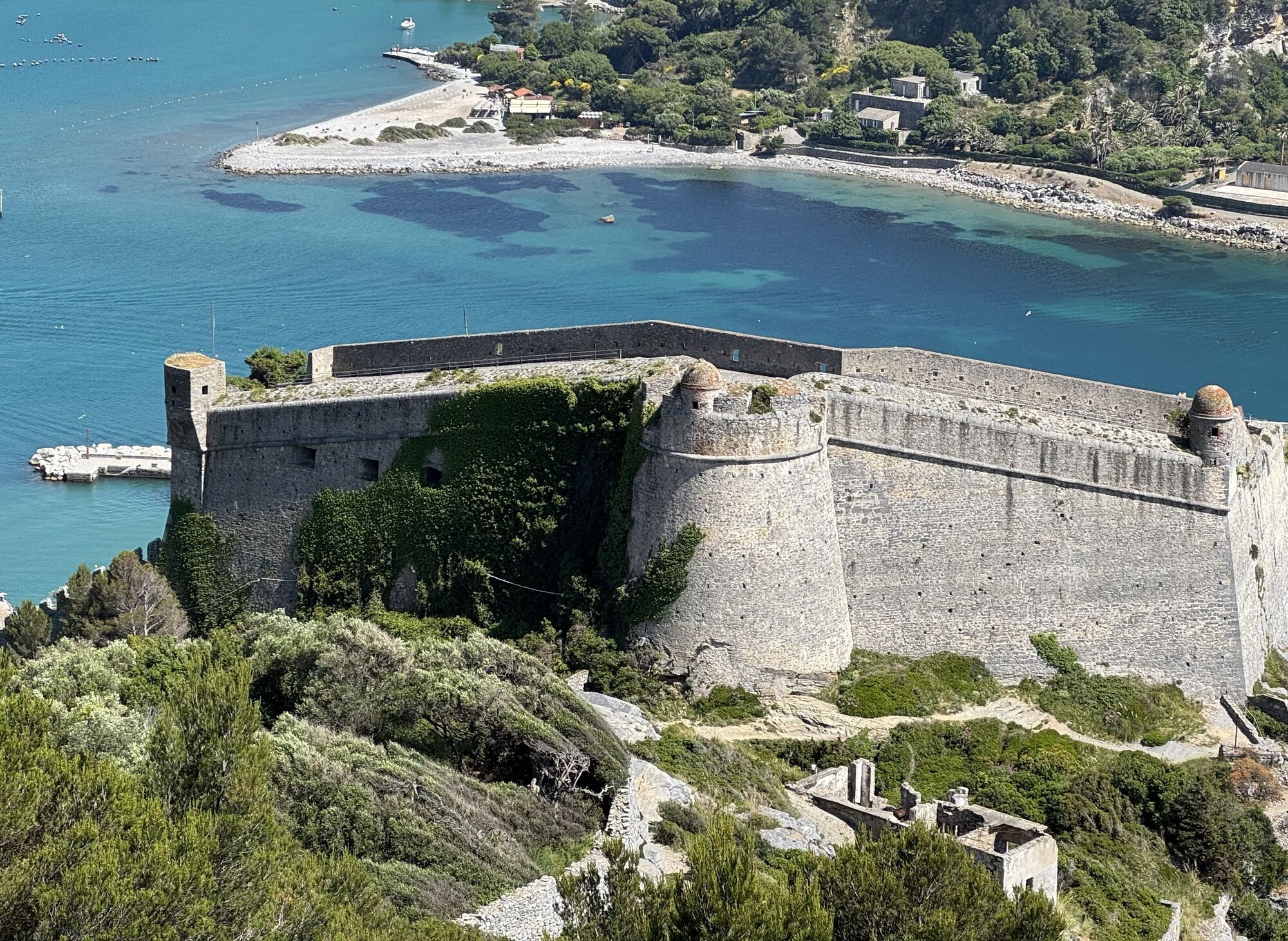
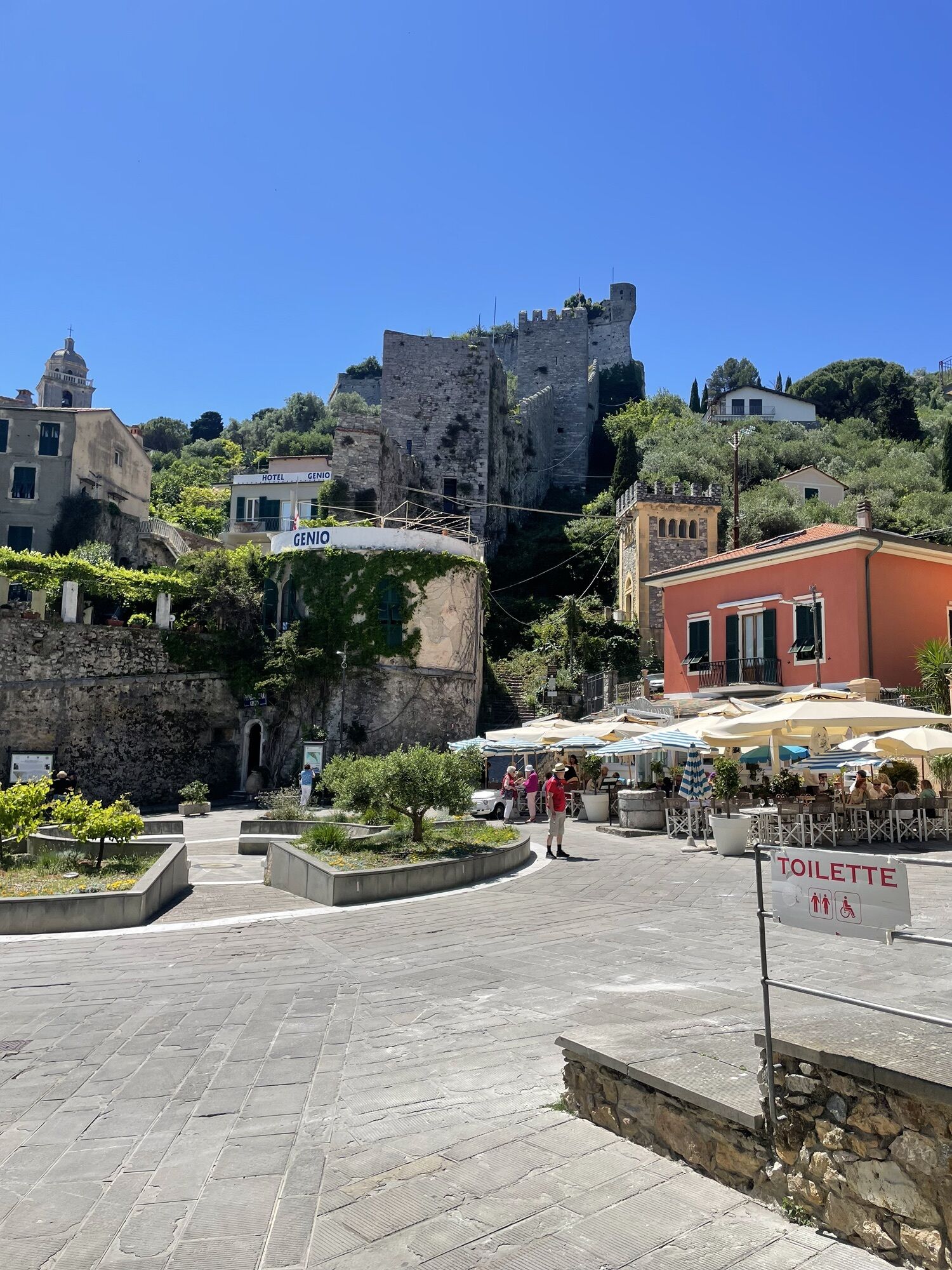
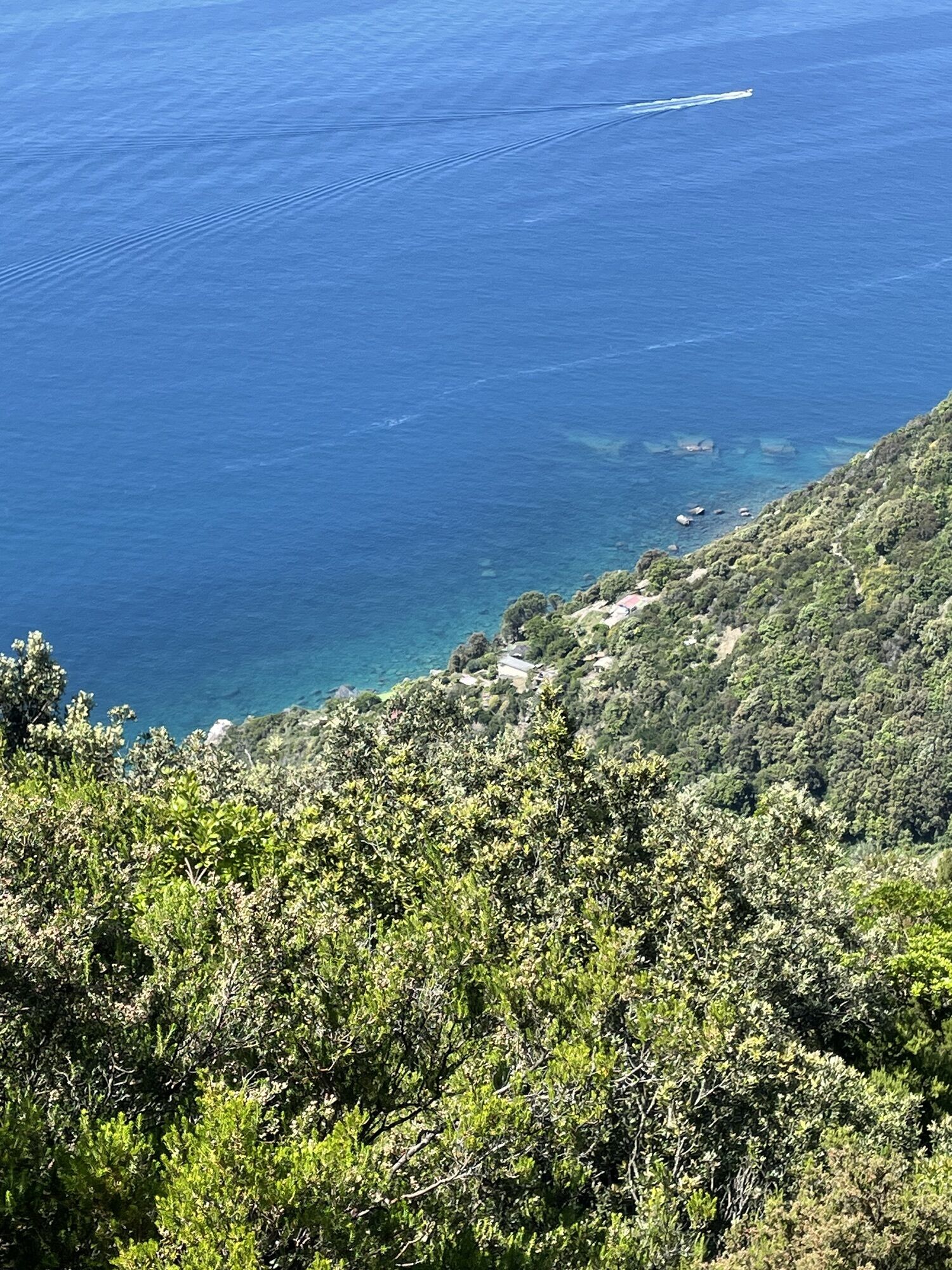
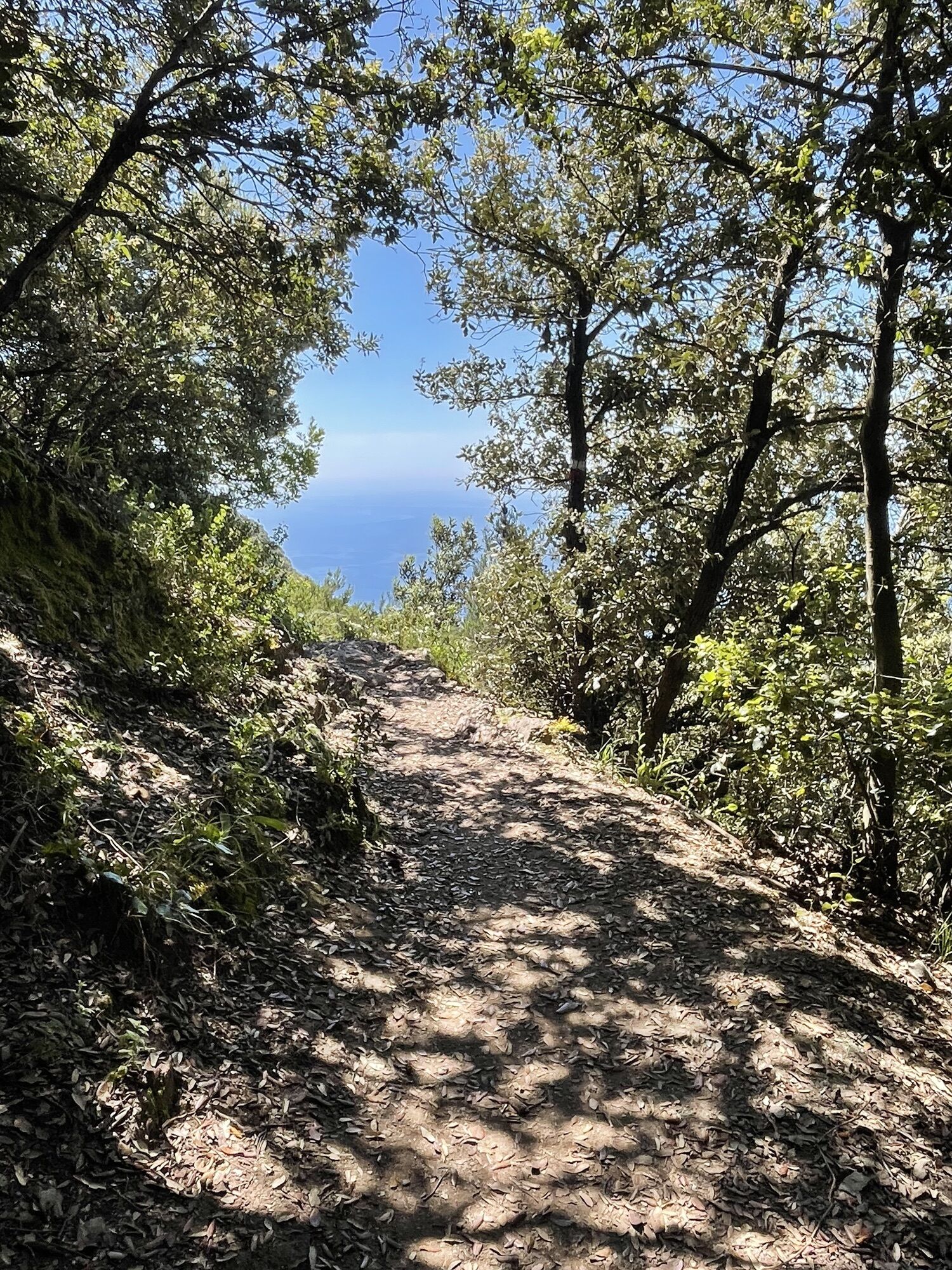
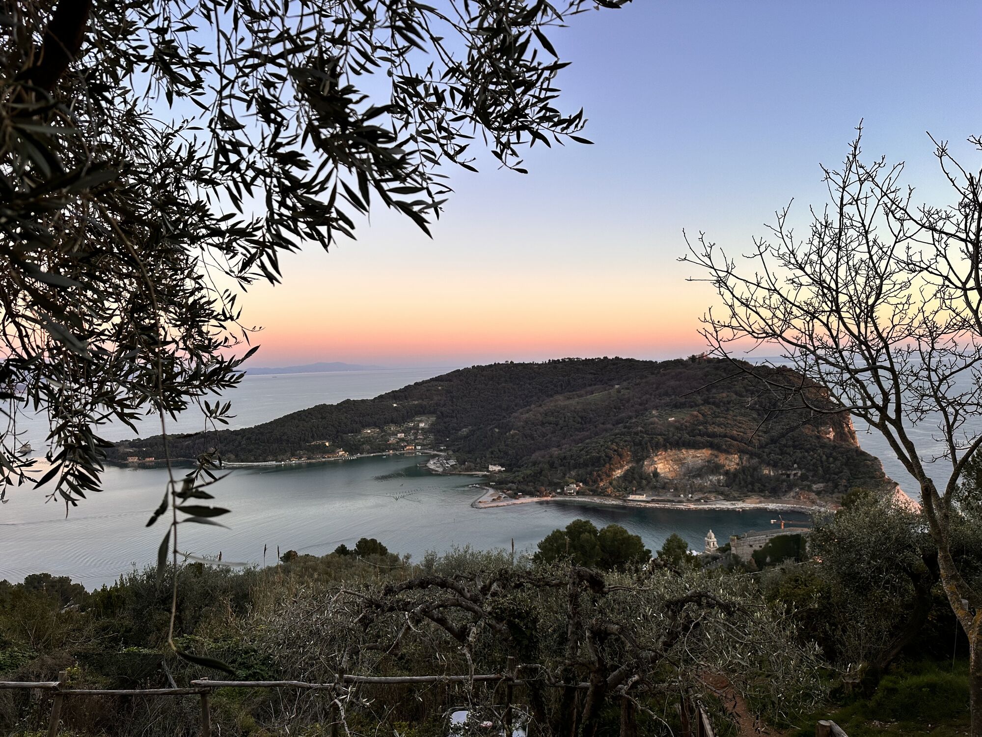
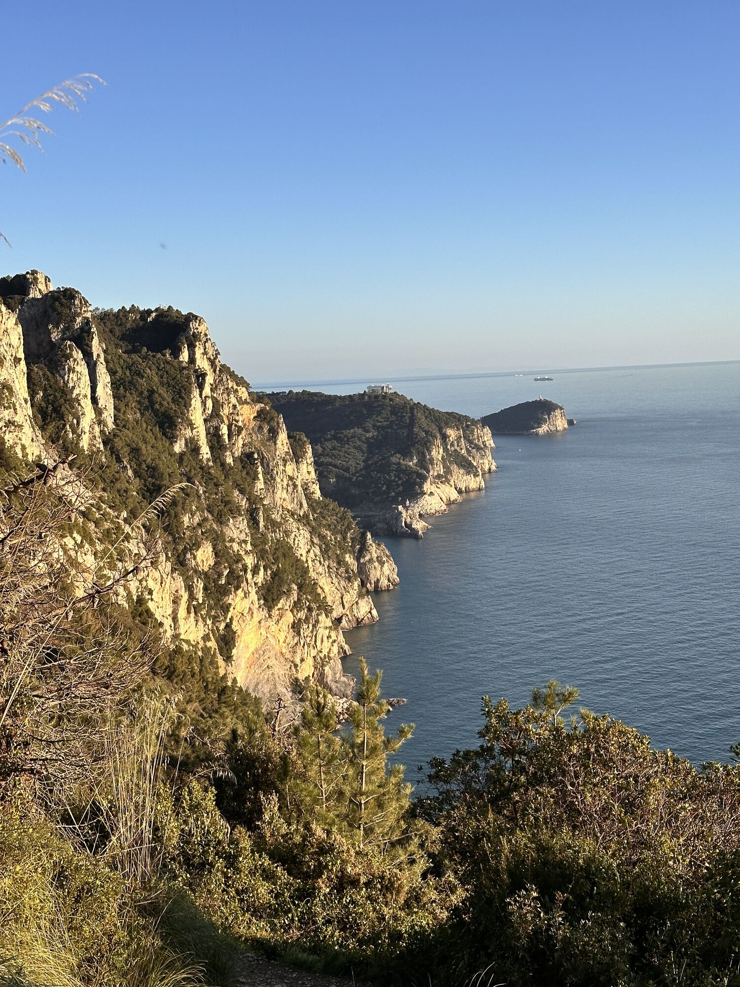
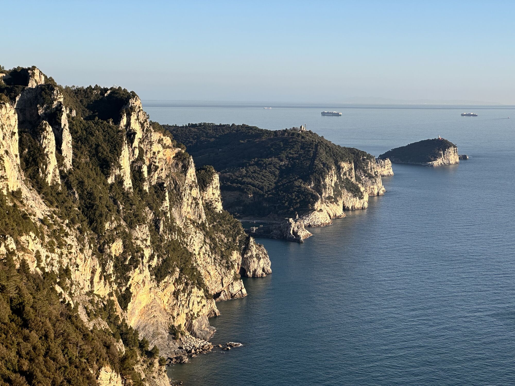
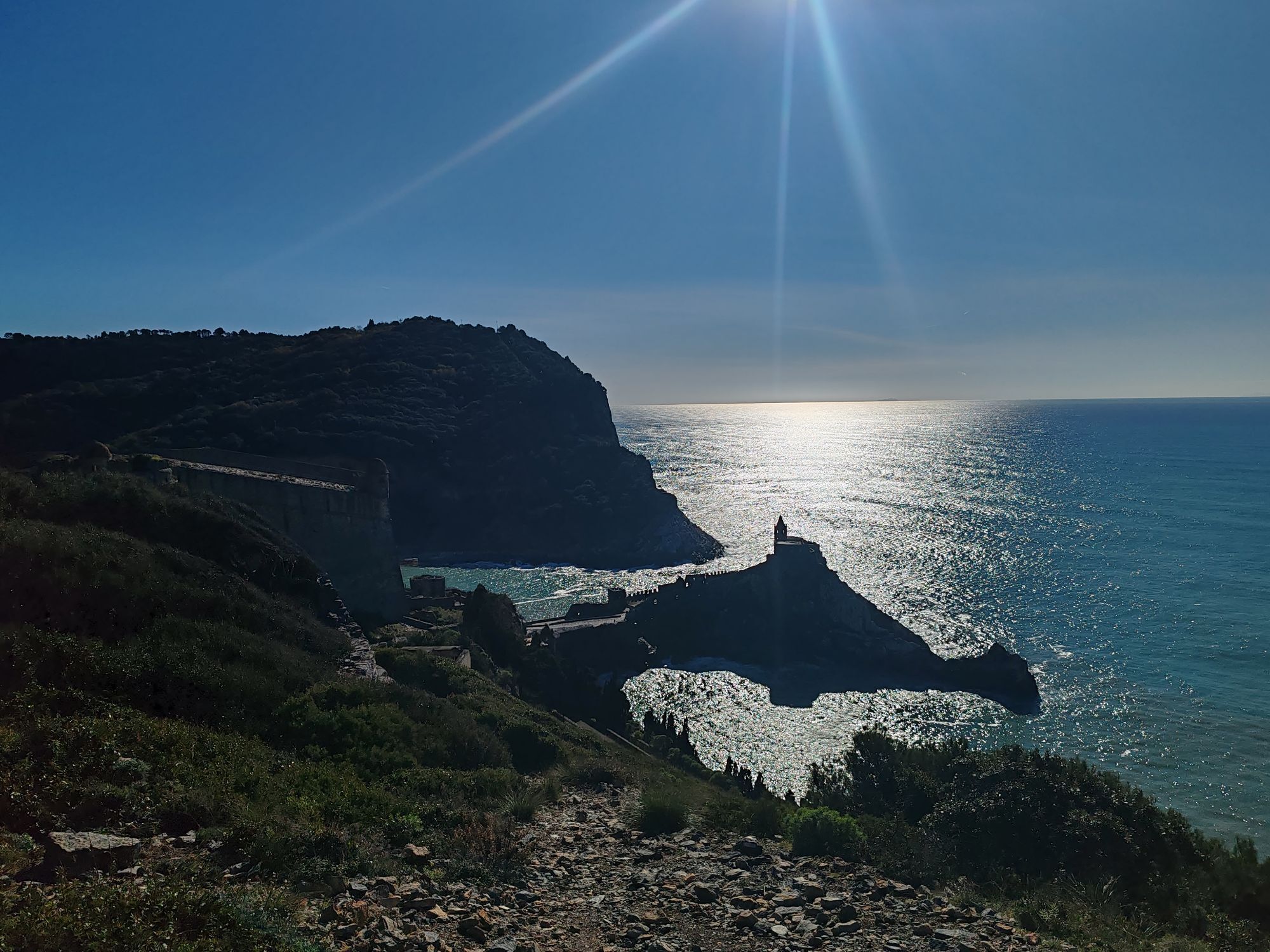
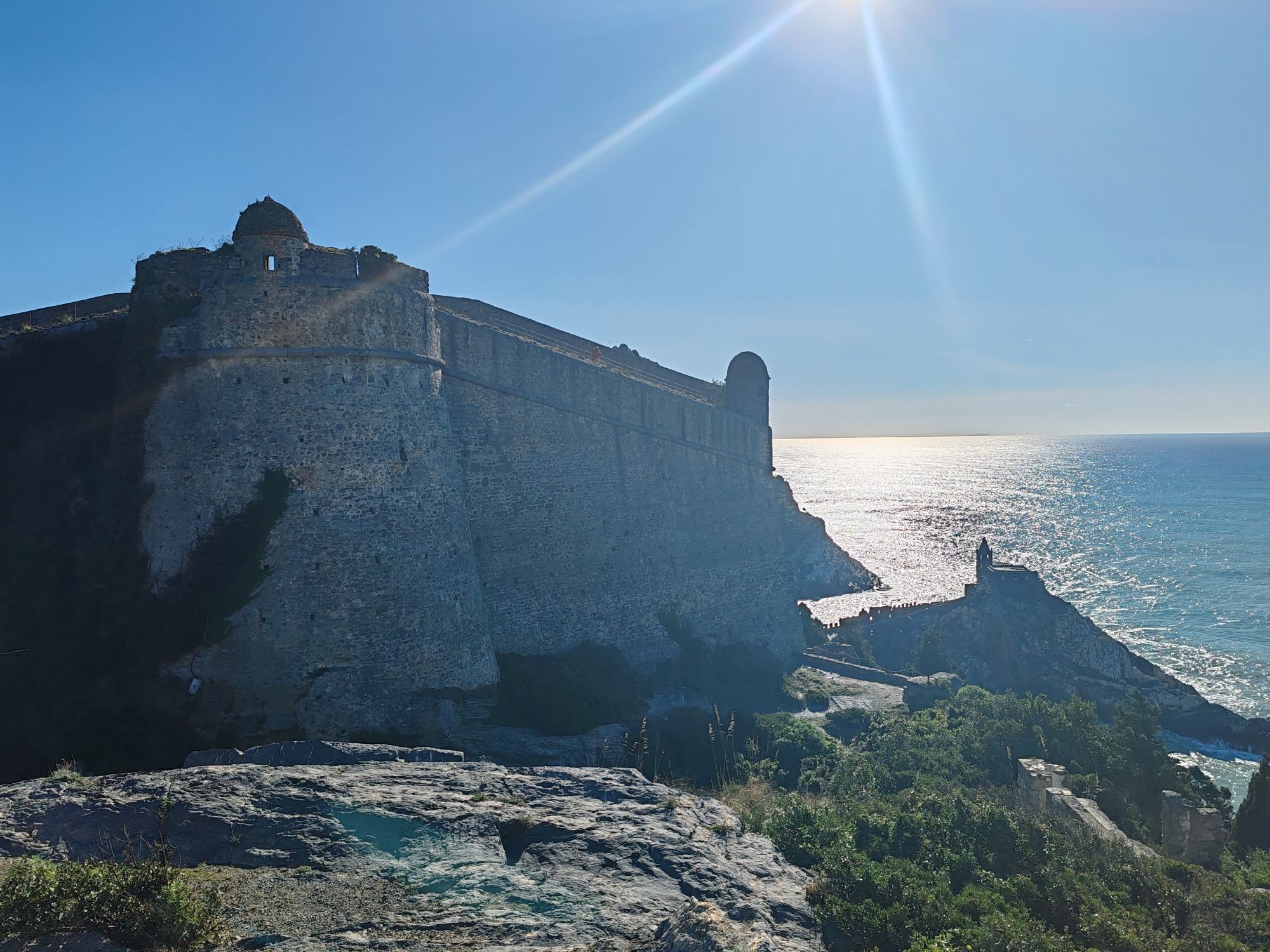
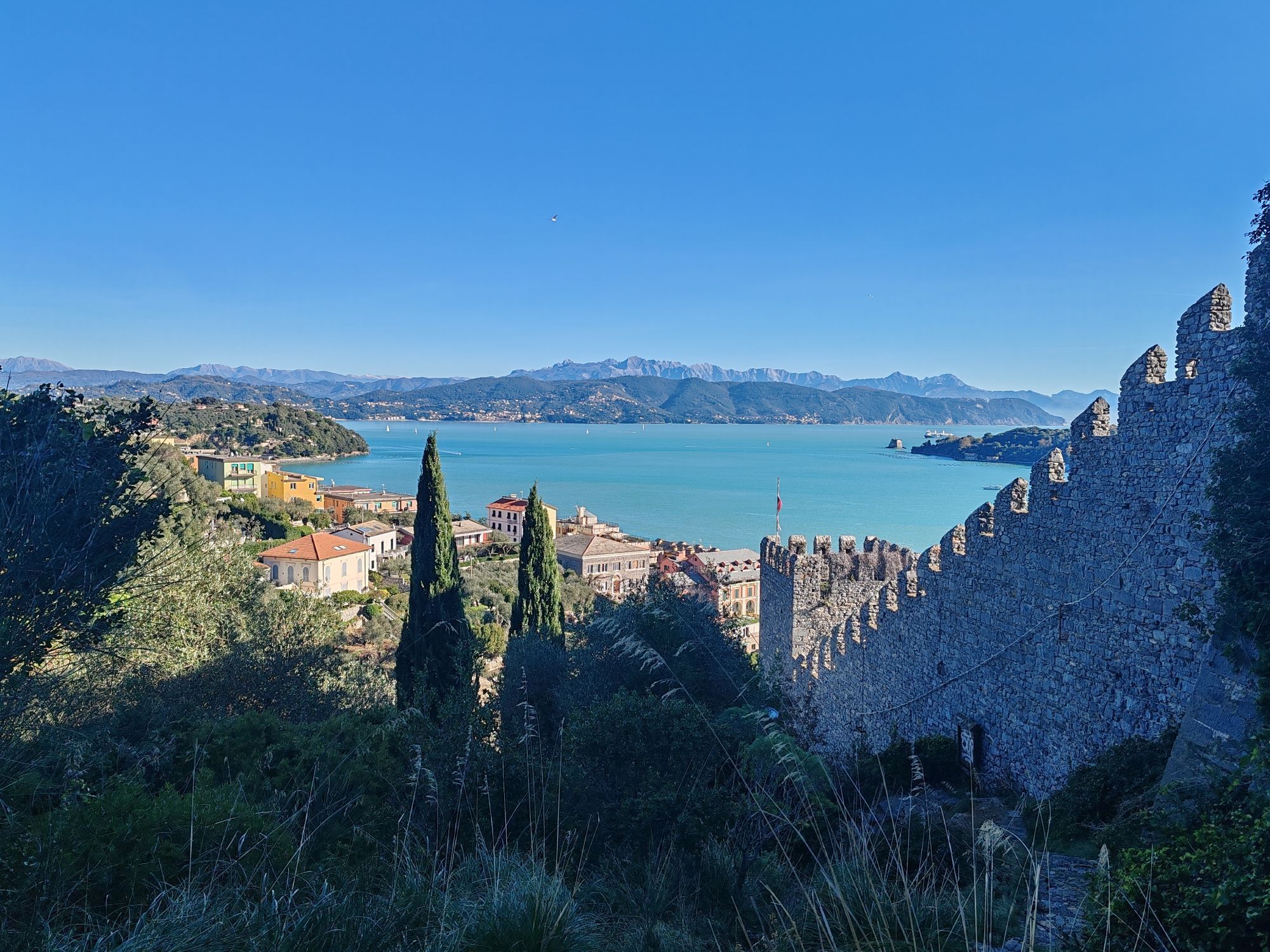
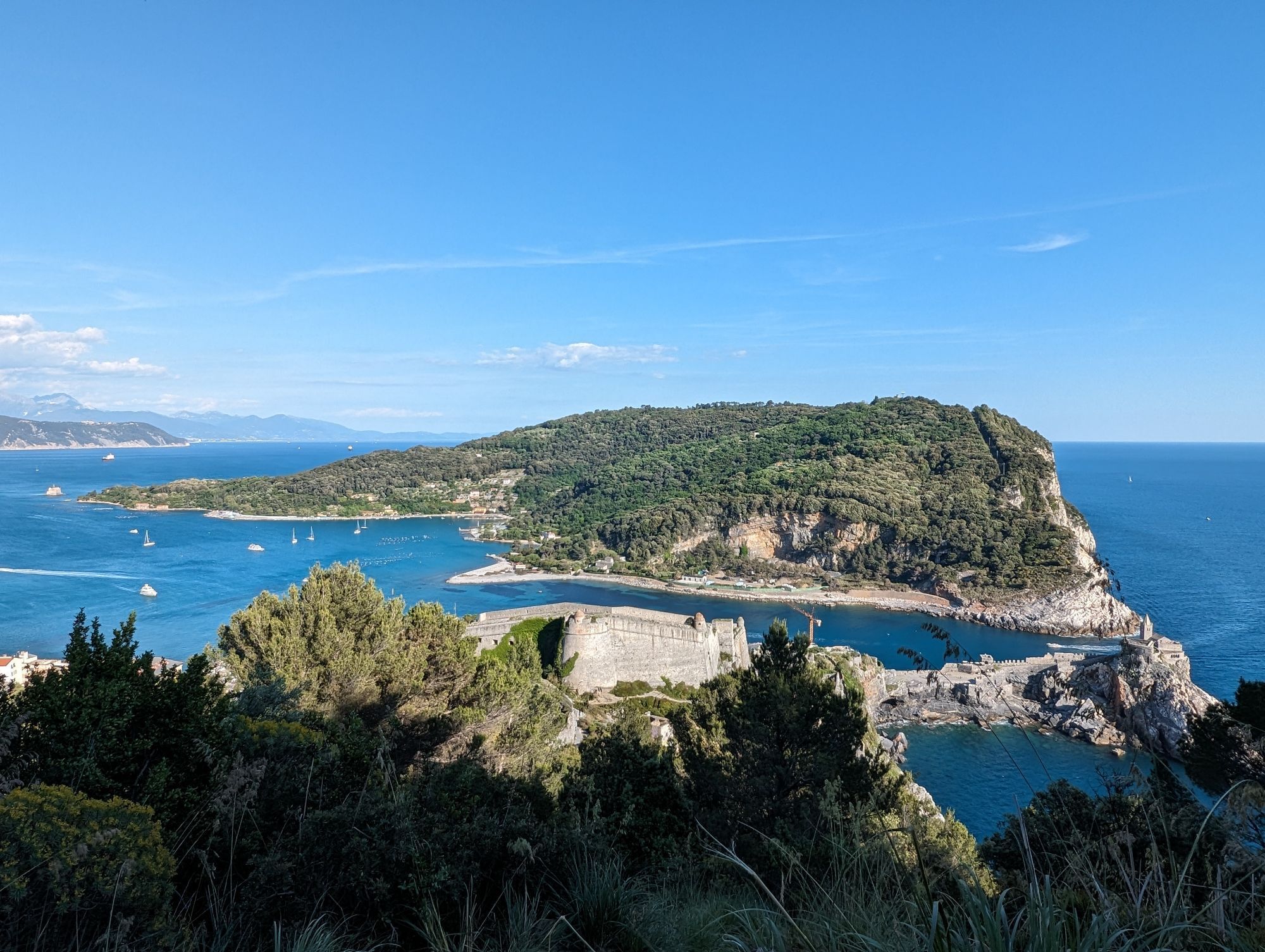
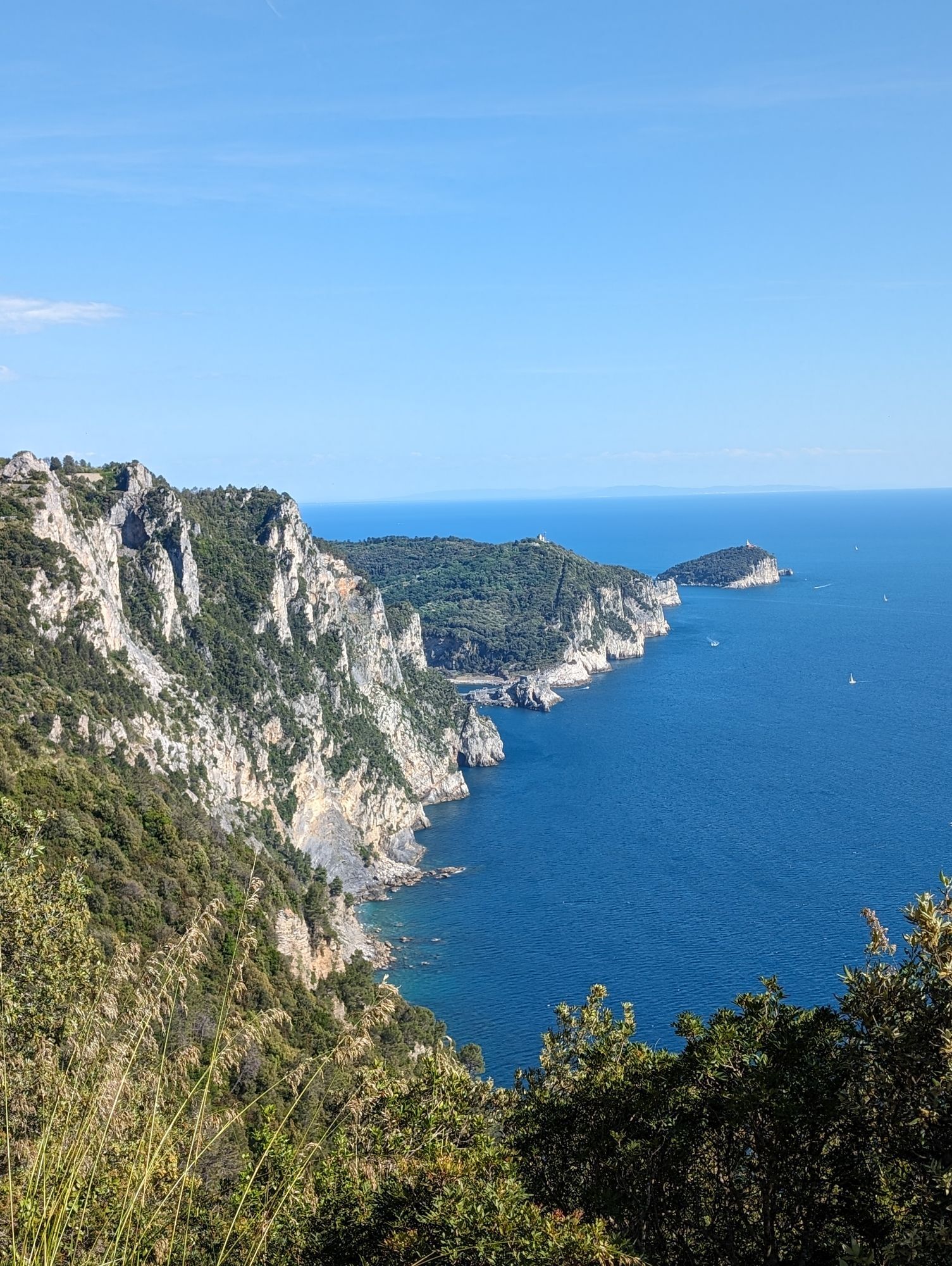
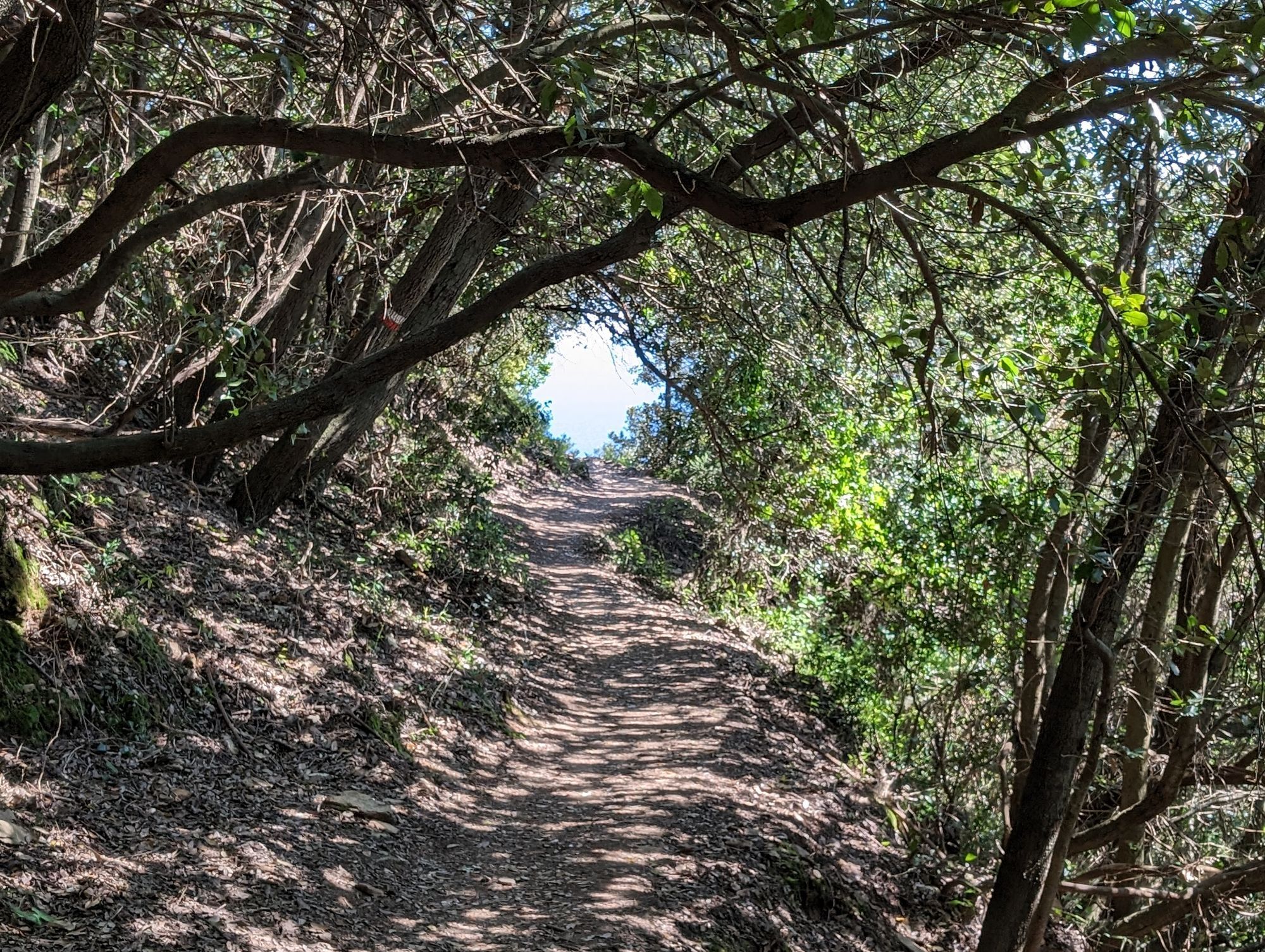
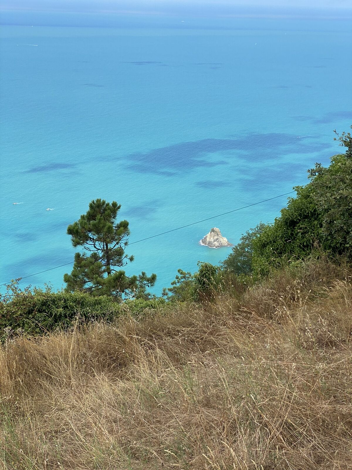
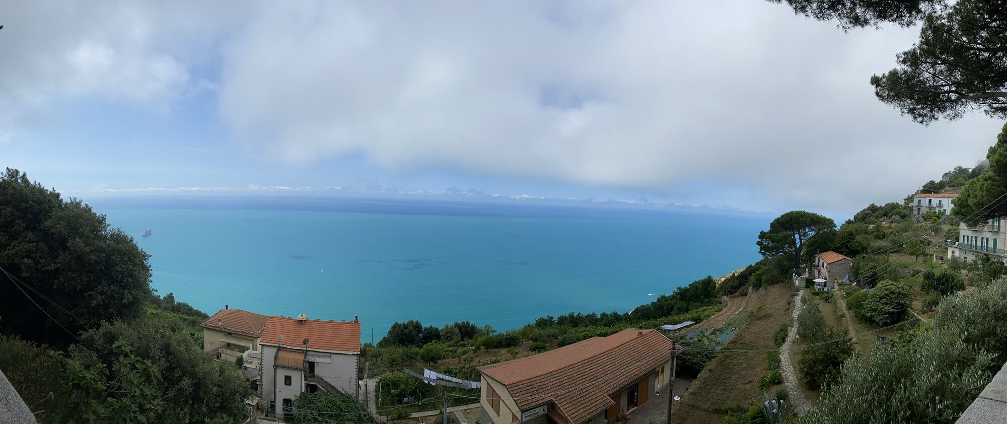
First stage. From Arzeno bus stop in the main square take the footpath signed by a red circle which rises to Passo della Biscia pass through a chestnut wood. After the wood you arrive at Piani di Oneto...
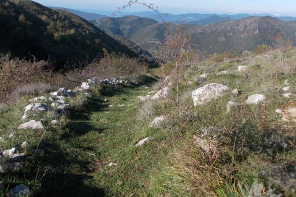
First stage. From Arzeno bus stop in the main square take the footpath signed by a red circle which rises to Passo della Biscia pass through a chestnut wood. After the wood you arrive at Piani di Oneto where, by a dirt road which passes north of the sinkhole reaching Passo della Biscia (894 m; 2.5 km from the start). Cross the provincial road and find the trail sign which you will follow for the rest of the itinerary, constituted by white and red strips and by a red-white-red little flag with AVT5 written in black on a white background. A dirt road rises towards south east along the slopes of Monte Porcile, then it slopes to the Passo del Bocco di Bargone (906 m; 8.8 km from the start). Leave the dirt road to rise up the ridge to the abandoned mines of Monte Zenone and, after the pass between Monte Zenone and Alpe, start descending towards Santuario di Velva (546 m; 17.6 km from the start). Immediately nearby there are two Hotels (Hotel Monte Velva, +39018540412; Albergo Santuario, +39018540431 ). Second stage. From this point you progressively leave the mountain environment as you are walk increasingly closer to the sea. From the sanctuary walk down the road eastwards and almost immediately find the trail sign of AV5T. Ascend into broad-leaved woods first and then pine woods, reaching the top of Monte San Nicolao (835 m; 4 km from the Sanctuary). A paved road takes us down to the Strada Statale n° 1 Via Aurelia and turning right you reach the locality Baracca where you turn right towards Levanto. Carry on walking on the paved road as far as Foce di Vaggi pass (595 m; 9.3 km from the sanctuary). Turning to the left you take a wide pathway between the pines firstly downhill and then uphill through a sparse woodland. Reach an area bare of vegetation and do a little pass which overlooks the valley of Levanto. The wide circumnavigation of the valley is mainly on secondary dirt roads and will take to Foce del Bardellone (594 m; 19,9 km from the sanctuary). Nearby there are two agriturismo, (Agriturismo degli Olivi, +39 01871851922; Agriturismo Ca' Melana, +390187800344 ). Third stage. Walk for a few km on paved road, then turn right and pass Monte Soviore to reach Termine pass (544 m; 3.9 km from Foce del Bardellone). Go up as far as the top of Monte Malpertuso, then start descending into chestnut and pine woods, as far as Colle del Telegrafo (513 m; 18,2 km from Foce del Bardellone). From the pass, walking downhill along Via Fabrizio Filzi, you reach Biassa where there are many hotels and B&B. Fourth stage. From Colle del Telegrafo the trail goes along the ridge of the Cinque Terre area, reaching Campiglia (399 m; 3.2 km from Colle del Telegrafo) and descending near the panoramic cliffs of Muzzerone. Walking down beside the castle you soon arrive in the main square Portovenere in front of the Tourist Information Office and the gate to the historical centre (7.9 km from Colle del Telegrafo). From Portovenere it is possible to reach La Spezia station by public bus, line 11/P (www.atcesercizio.it) or by boat (www.navigazionegolfodeipoeti.it).


by train (Genova-La Spezia) get off at Chiavari; in front of the station there is the bus stop for bus 34 for the Graveglia Valley (www.atpesercizio.it); get off at Arzeno.
from Lavagna motorway exit (A12 Genova-Livorno) turn right following the signs for the Val Graveglia as far as Arzeno
Nature and Landscape * * * * * Family * * * Gourmet * * * * Culture * * * *

Popularne wycieczki w okolicy
- 5,0
Levanto nach Monterosso
średniWędrówka 6,83 km - 4,7
SP_07 Manarola - Volastra - Corniglia
Wędrówka 5,75 km - 4,2
Leg 4 from Riomaggiore to Monterosso
Wędrówka 15,1 km - 4,7
Monterosse - Vernazza
średniWędrówka 4,68 km - 4,3
Bonassola-Levanto-Monterosso
światłoWędrówka 10,9 km - 4,7
Leg 7 from Moneglia to Sestri Levante
Wędrówka 15,2 km - 4,0
SP_21 Ciclopedonale Levanto – Bonassola – Framura
Wędrówka 6,70 km - 5,0
Cinque Terre
średniWędrówka 2,17 km - 5,0
SP_12 Framura - Bonassola
Wędrówka 3,82 km - 5,0
SP_13 Ring path of Levanto
Wędrówka 8,18 km
Wędrówki i tropienie


Nie przegap ofert i inspiracji na następne wakacje
Twój adres e-mail została dodana do listy mailingowej.





