






Beigua 3 Urbe

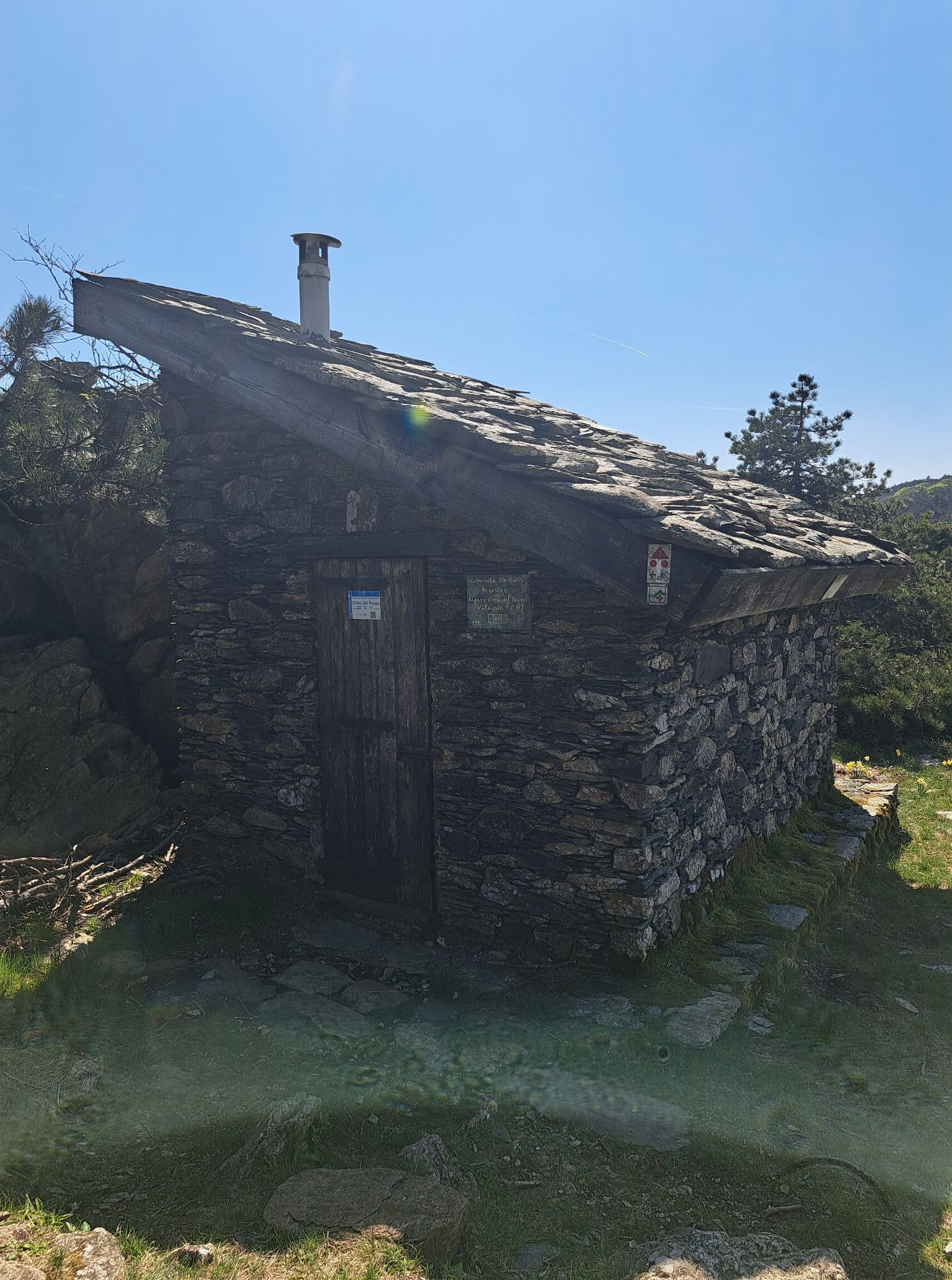
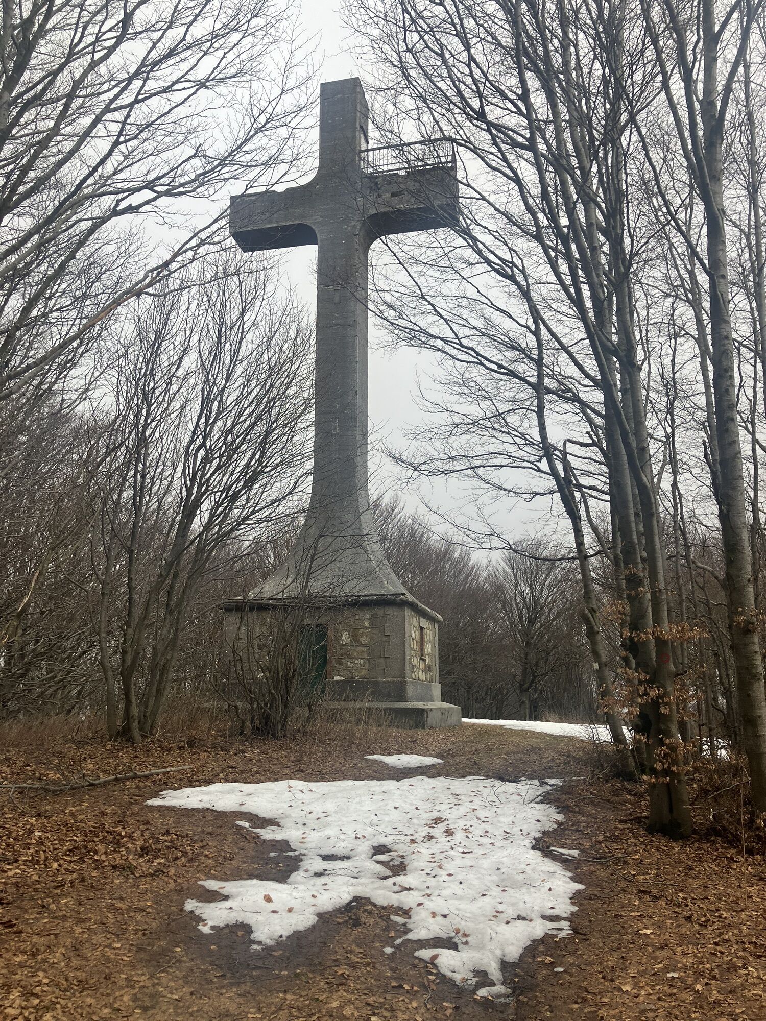
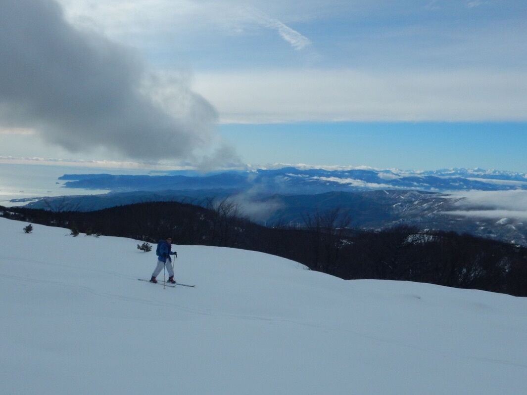
Starting from San Pietro d'Olba follow the road in the direction of Vara Inferiore, where, near the sign with directions to Dano, you will leave the Provincial road and pick up the road that descends to...
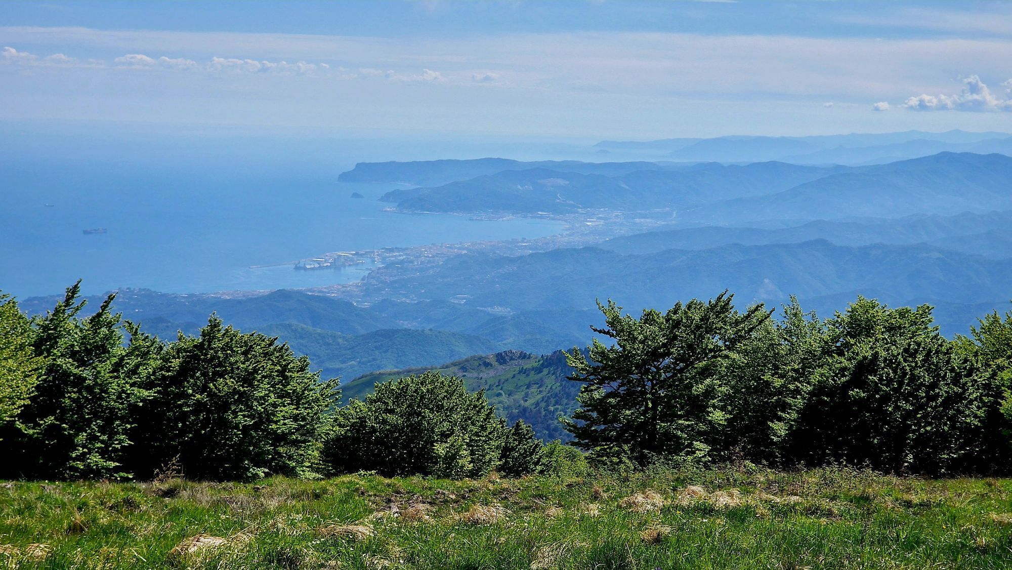
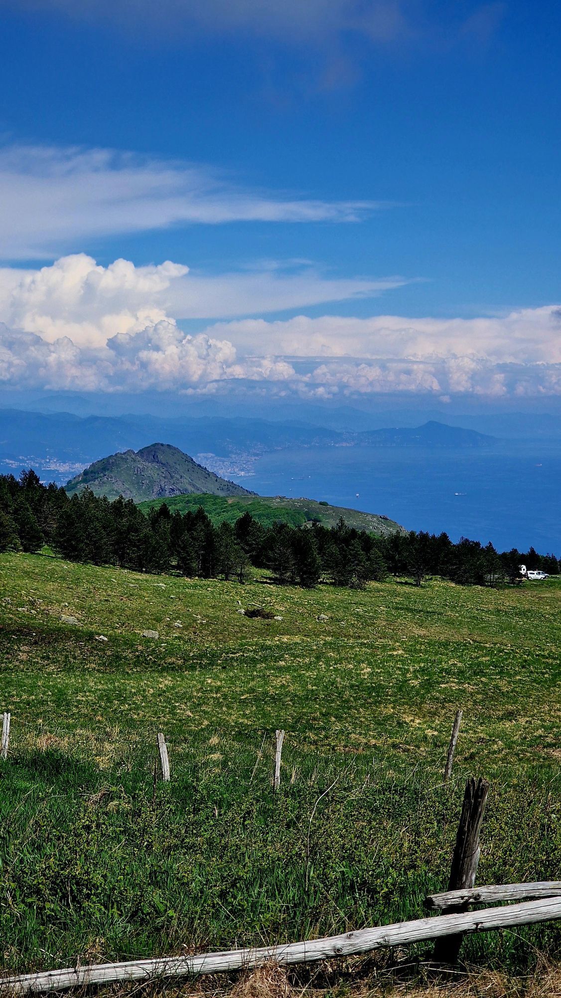
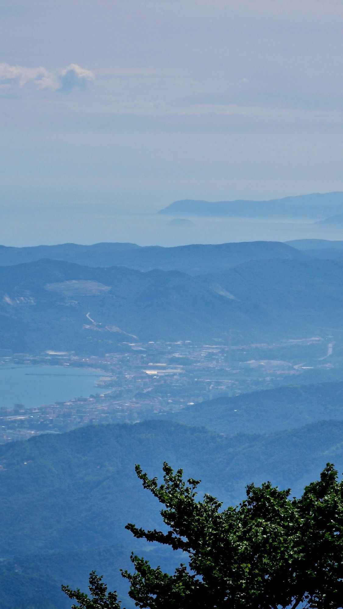
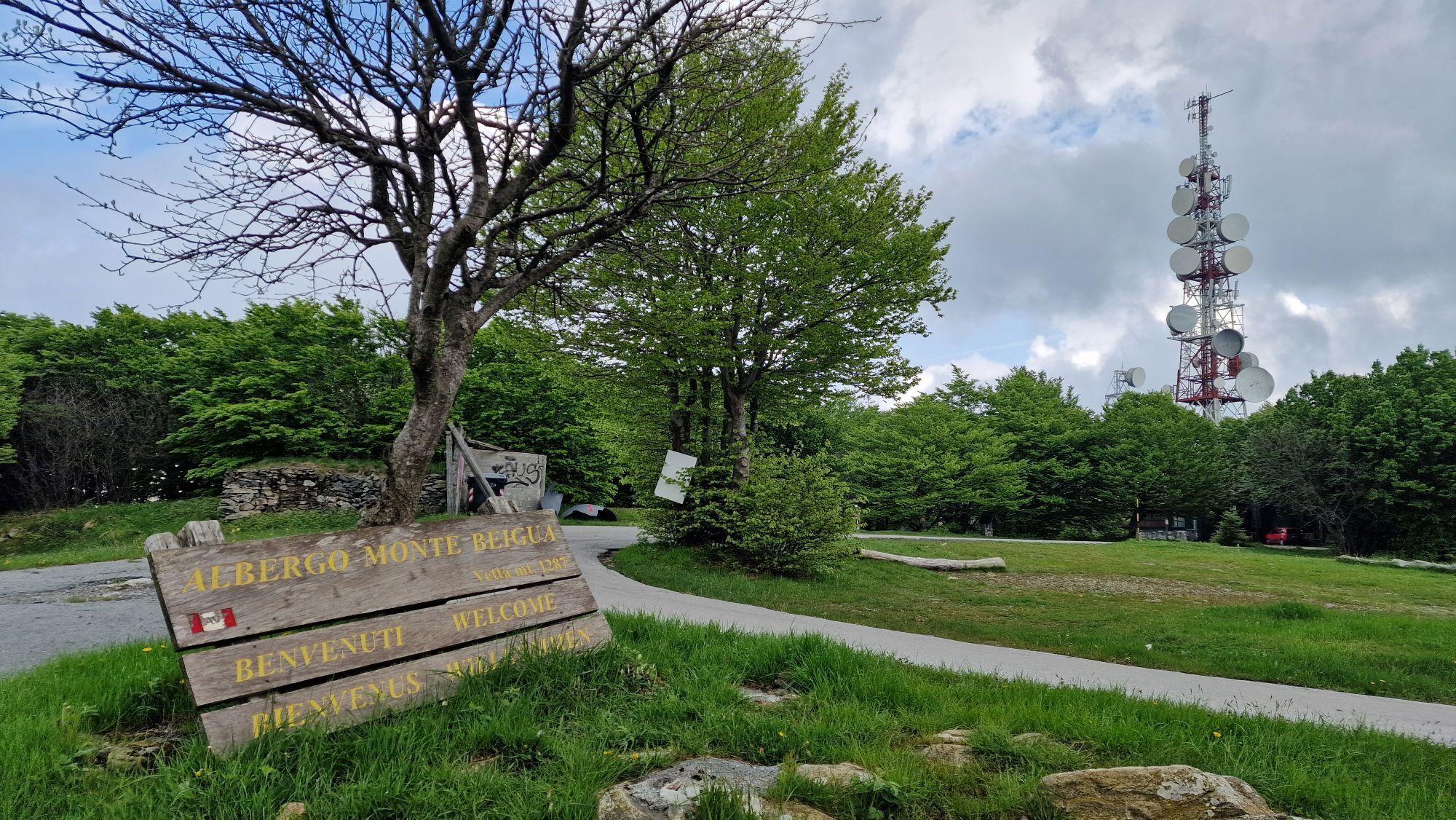
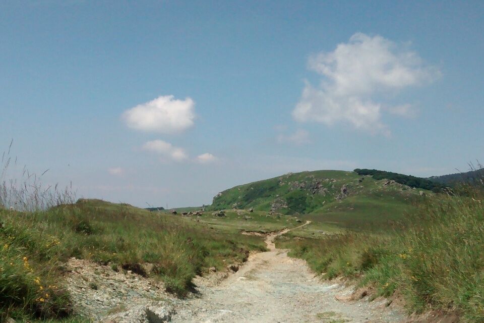
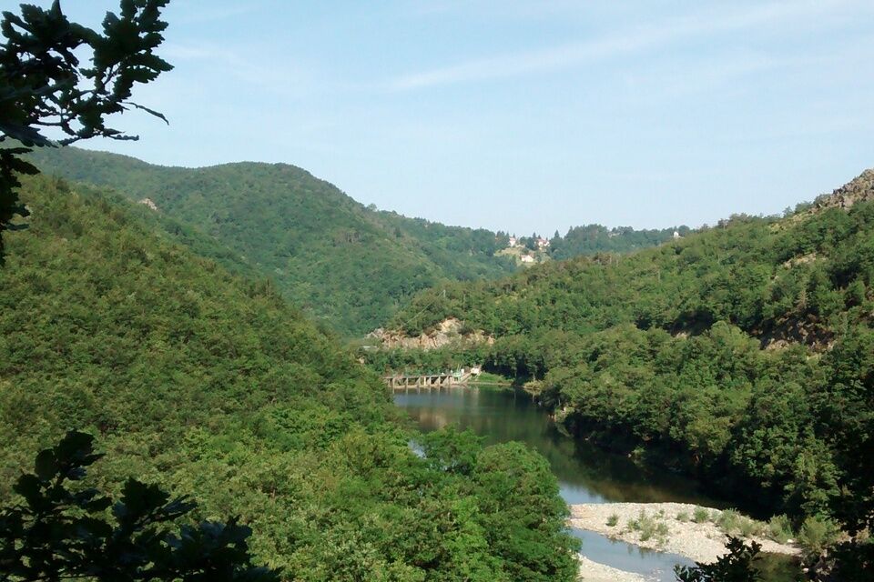
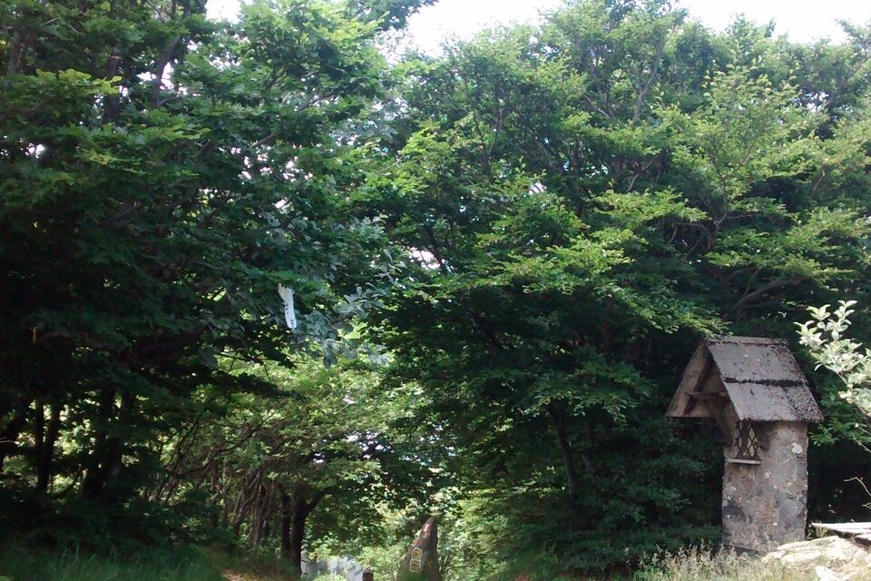
Starting from San Pietro d'Olba follow the road in the direction of Vara Inferiore, where, near the sign with directions to Dano, you will leave the Provincial road and pick up the road that descends to the right. A little further on, past a bridge, take the Bucastrella trail on the left. The trail goes uphill without ever presenting significant gradients. As soon as you reach the crossroads of Pian di Lerca, follow the Alta Via track to the right. The track is very panoramic, but only partially rideable and you will have to hike your bike for a few sections, until you reach Piano di Bric Damè. In Prato Ferretto the track becomes a wider dirt road that soon takes you to the Pratorotondo refuge. Continue on asphalt and reach the summit of Beigua where you will pick up again the Alta Via dei Monti Liguri track. Pass the junction to Monte Ermetta and keep right at the following fork. A nice trail heads downhill through a beech forest without any particular difficulty. Reach the junction and keep right: the trail becomes a single-track for a short distance but watch out for the rough and dirty surface. The trail leads close to Case di Veirera: keep going on asphalt for a short distance and pick up the trail that takes you to Palo from Veirera, popping out near the cemetery. Back on the Provincial road, follow it until you reach the start point of the route.


Access by car Exit the motorway at the tollbooth of Varazze, then continue on the National road SS542, turn onto the Provincial road SP57, and then onto the Provincial road SP49 towards Urbe.
Shuttle service: not available
Urbe
Classification: XC Difficulty: moderate Rideability +/- : 80% Water Points: 5 Local Knowledge: www.parcobeigua.it/
Popularne wycieczki w okolicy
Alta Via dei Monti Liguri - AV
Wędrówka 317,8 kmSV_28 Itinerario ciclopedonale da Varazze ad Arenzano
Wędrówka 10,4 km- 5,0
Albissola - Varazze 05.10.2024
światłoWędrówka 17,1 km Trail no. 20: Prato Rotondo - Passo del Faiallo
Wędrówka 9,08 km- 3,0
SV_02 Ring path of Foresta Deiva
Wędrówka 12,0 km Beigua 2 Varazze Sassello (Varazze)
ciężkiMountainbike 68,2 kmSentiero anello di Cimaferle - Sentiero 534 in mountain bike
Mountainbike 8,13 kmSentiero anello di Cimaferle - Sentiero 534 in camminata
Trasa pielgrzymki 8,13 kmSentiero "Via del Monte Rotondo" - Sentiero 554 in mountain bike
Mountainbike 3,83 kmSentiero anello di Bandita - Sentiero 561 in camminata
Trasa pielgrzymki 18,9 km
Wędrówki i tropienie


Nie przegap ofert i inspiracji na następne wakacje
Twój adres e-mail została dodana do listy mailingowej.





