Nawigacja
Pobierz tę trasę na swój telefon komórkowy
Mapa
Kitinen and Jeesiö riverside route 4,5 km | Sodankylä
światło
Wędrówka
4,49 km
Zeskanuj kod QR i rozpocznij nawigację w aplikacji bergfex.
QR Code
Wędrówki i tropienie

Kitinen and Jeesiö riverside route 4,5 km | Sodankylä

Odległość
4,49 km
Czas trwania
01:05 h
Ascent
- hm
Poziom morza
175 - 179 m

Poziom trudności: T1

Ścieżka do pobrania
Mapa
Kitinen and Jeesiö riverside route 4,5 km | Sodankylä
światło
Wędrówka
4,49 km

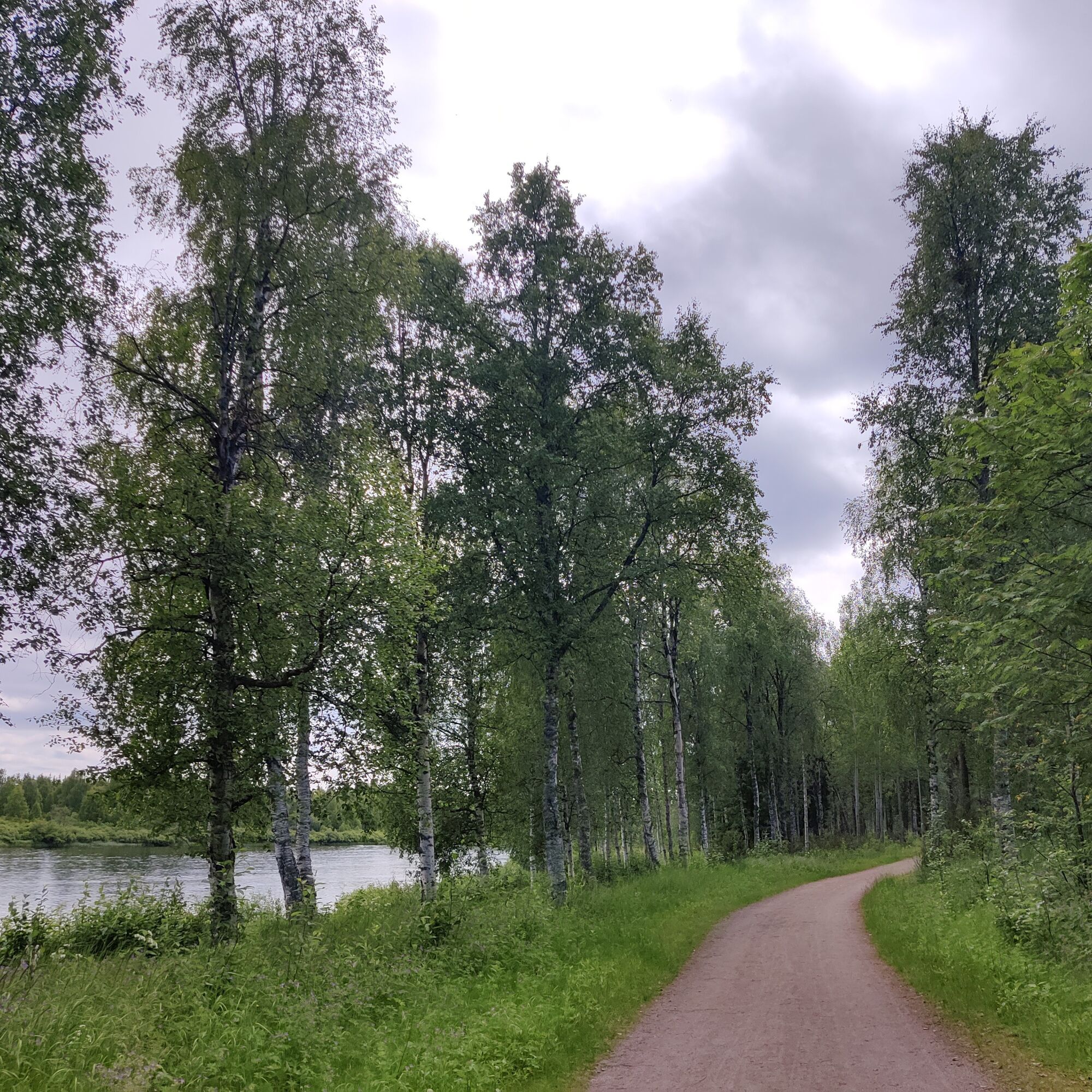
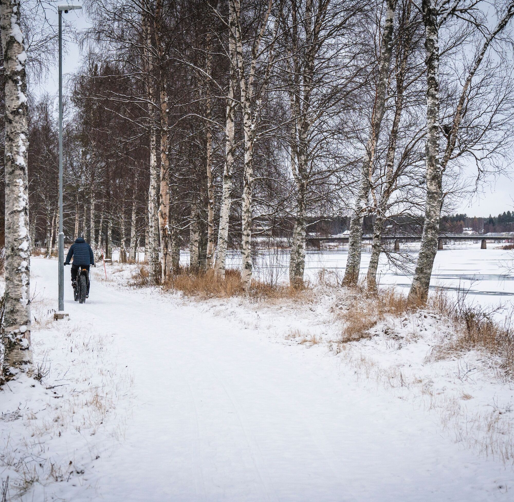
From the centre of Sodankylä, you can easily reach a graveled, well-lit and year-round maintained trail, which runs along the Kitinen and Jeesiö rivers, with moderate elevation changes and easy access....

Opis
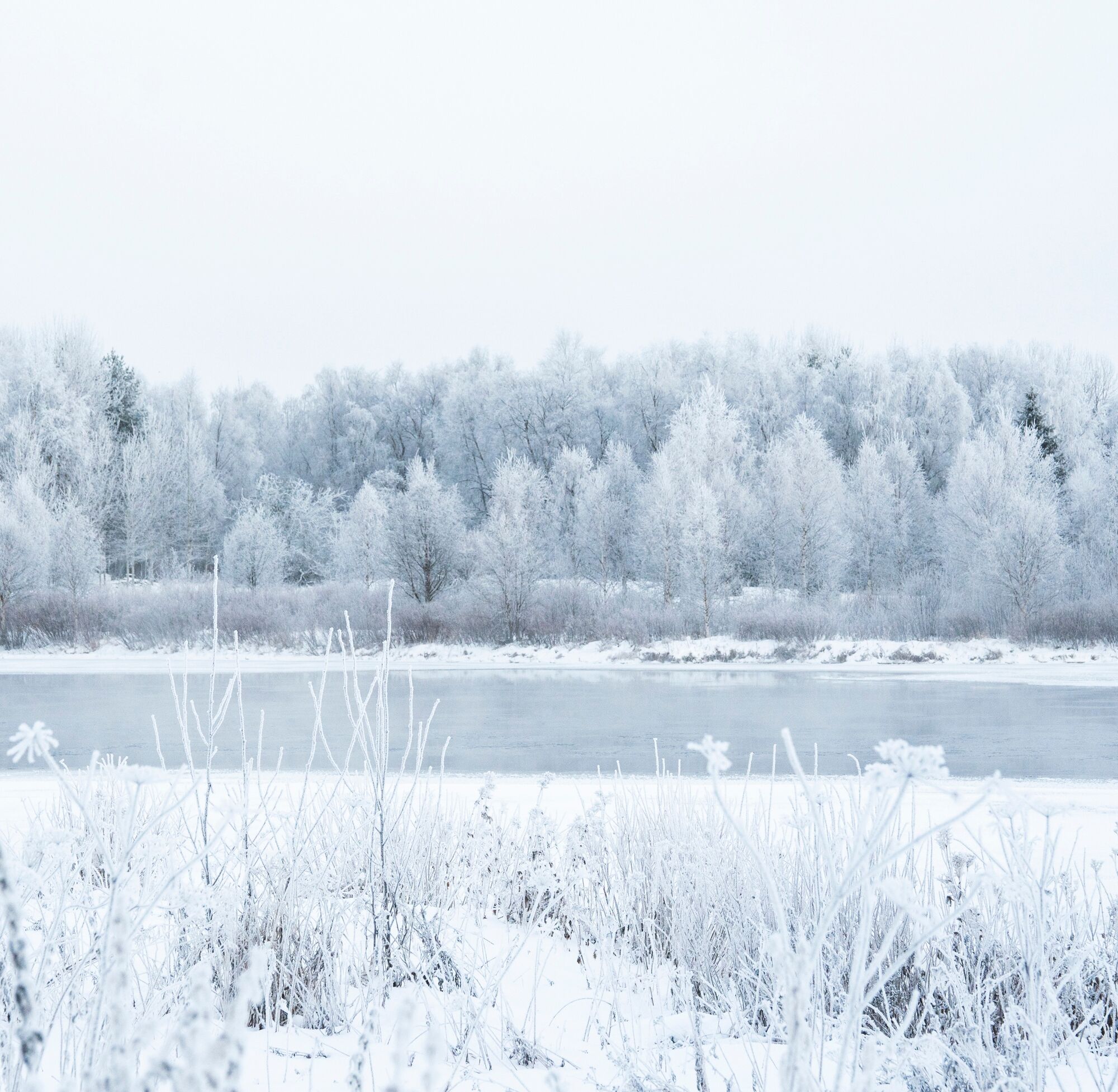
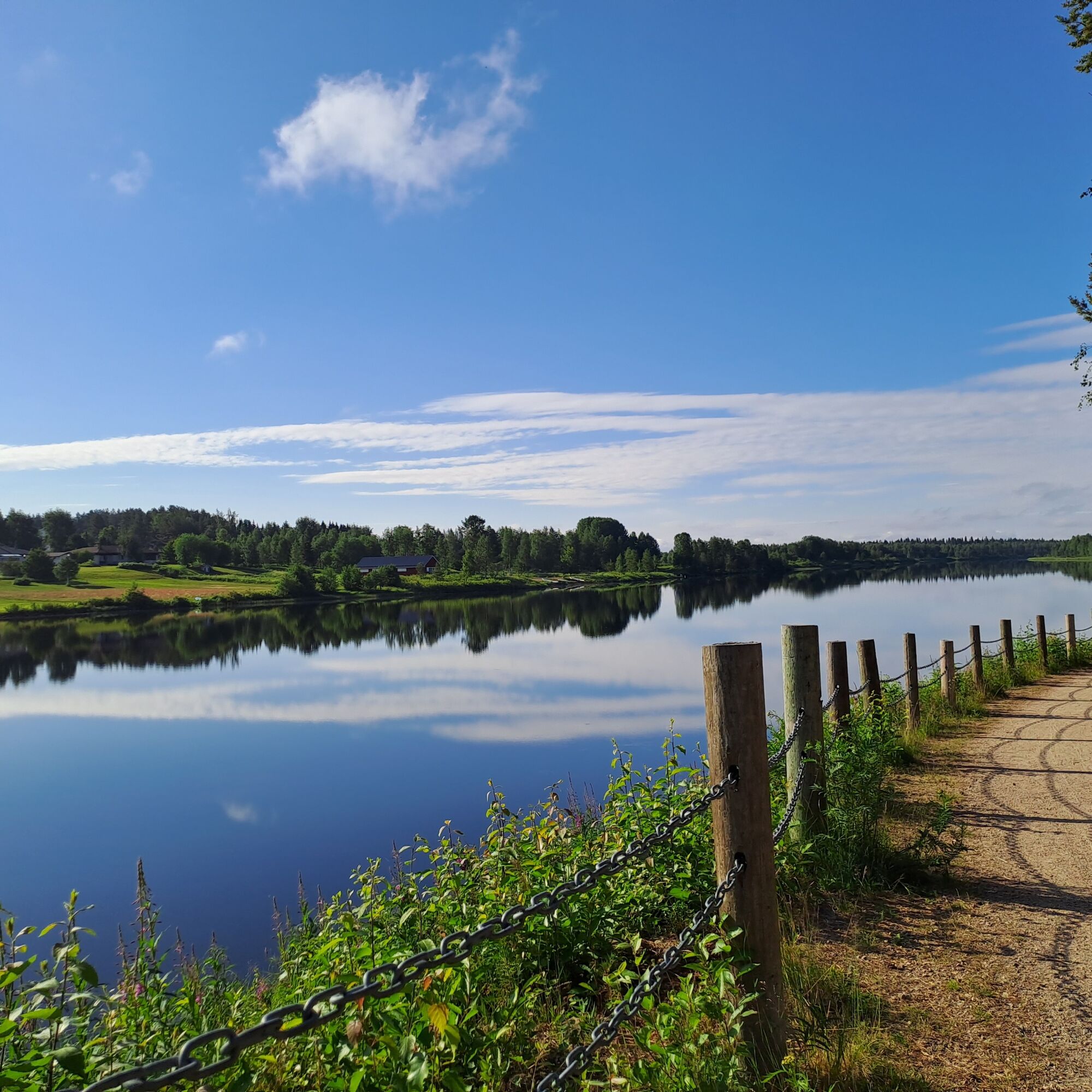
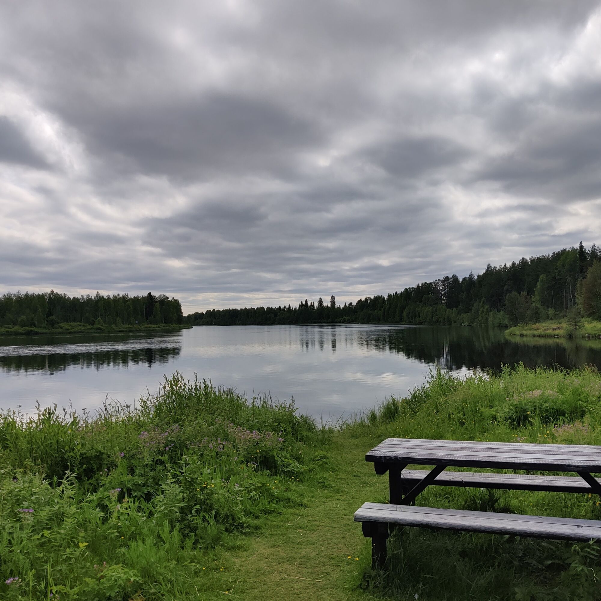
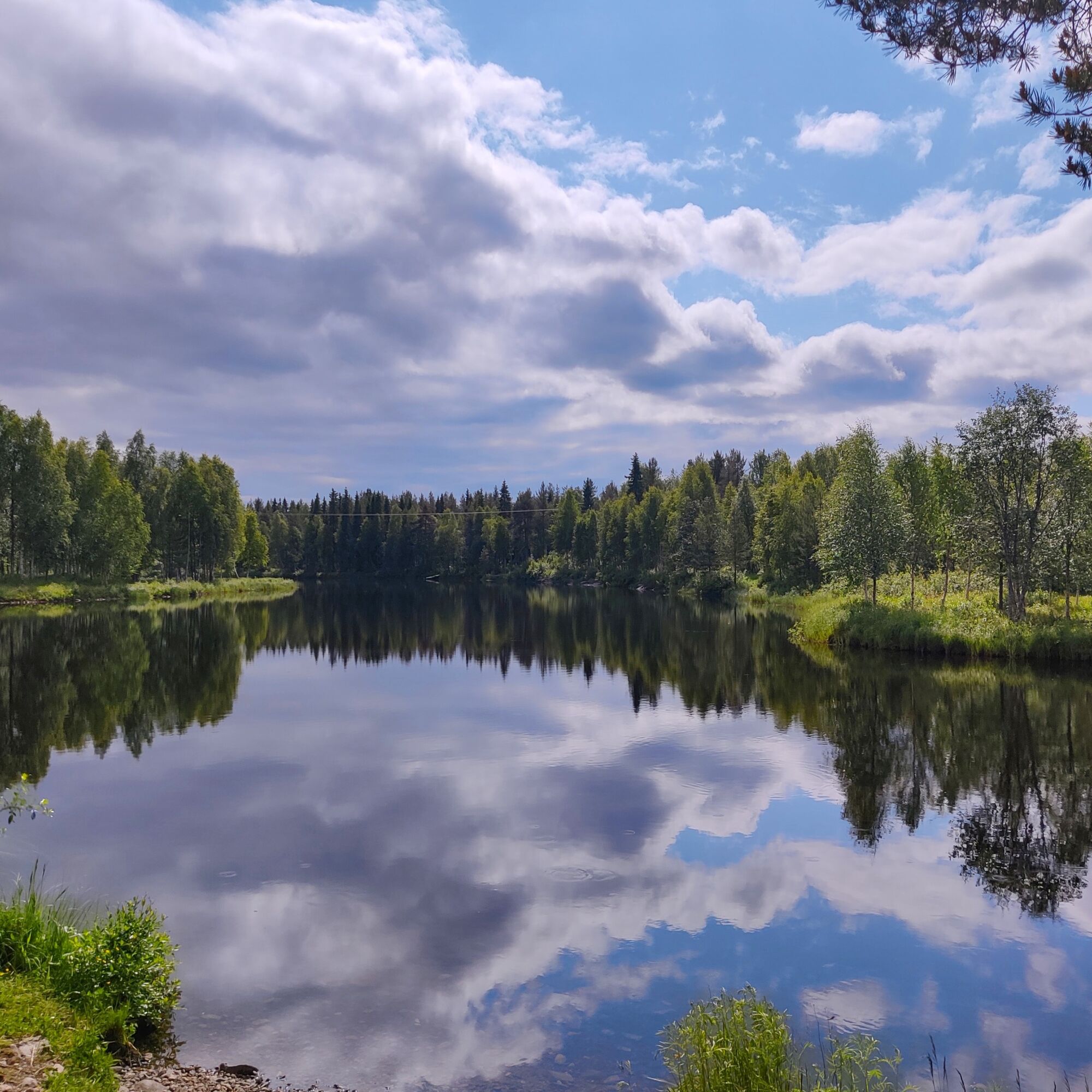
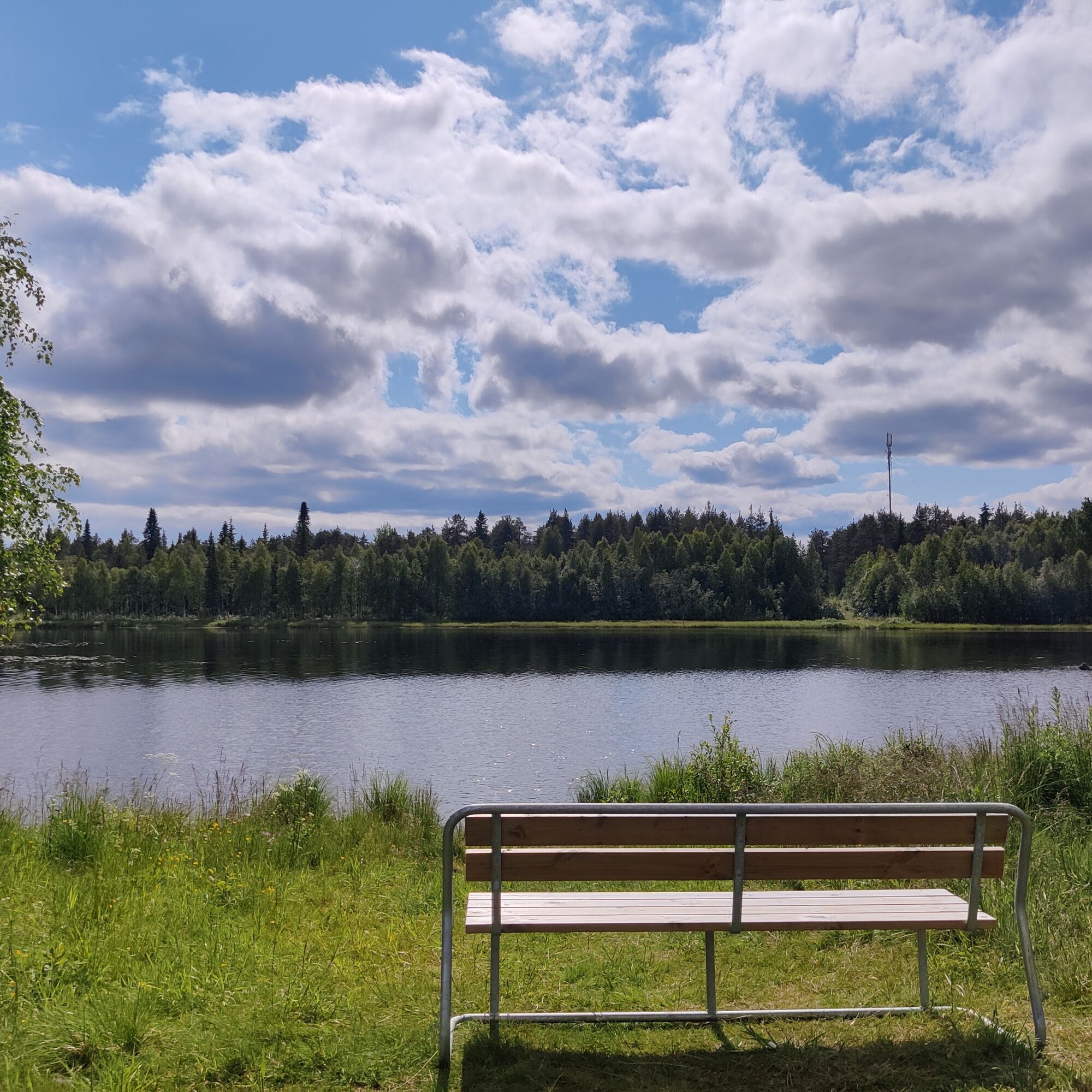
From the centre of Sodankylä, you can easily reach a graveled, well-lit and year-round maintained trail, which runs along the Kitinen and Jeesiö rivers, with moderate elevation changes and easy access. The route offers eye-candy for architecture lovers, interesting sites for those interested in cultural history, varied riverside landscapes for nature lovers and a chance for everyone to take a breather and relax.
Along the route and in the vicinity you will find, among other things, the old church of Sodankylä, built in 1689, the old market place of the Sámi people (Kyläsiljo), the Pappilanniemi nature trail and covered fireplace, an accessible fishing spot, the beach and the historic local museum with its charming courtyards. The trail runs close to Sodankylä town centre and is easily accessible from several points along the way.

Informacje o wycieczce

Experience the most beautiful scenery in Sodankylä centre by walking along the riverside route that runs along both the Kitinen and Jeesiö rivers. The route is accessible all year round.

Technologia
1 / 6
Stan
2 / 6
Krajobraz
6 / 6
Doświadczenie
5 / 6
Dostępny przez cały rok
Sty
Lut
Mar
Kwi
Maj
Cze
Lip
Sie
Wrz
Paź
Lis
Gru
Udostępnij trasę
Mapa
Kitinen and Jeesiö riverside route 4,5 km | Sodankylä
światło
Wędrówka
4,49 km
Błąd
Wystąpił błąd. Spróbuj ponownie.
Informacje o trasie
Trasa
Start your journey from the Lompolontie beach and head towards the path behind the Kitisenranta school. Continue towards the Kitinen bridge, which you must cross with care and respect for other traffic. Walk between the church park and Kitinen towards Pappilanniemi. Along the route, you can stop to enjoy the river and forest scenery at the covered fireplace, where there is even a swing for the kids! Continue to the confluence of the rivers, where you turn right towards the Jeesiö River bridge.

To get to the footpath and under the bridge, you will need to walk a short distance along the roadside. Once under the bridge, head towards the Jeesiö riverbank. On the way, you will pass an accessible fishing spot with a lean to shelter. Along the route you will also find a small beach and the Sodankylä sports park with its many facilities. Follow the route along the Jeesiöjoki riverside path towards Tähtikunta school, where the route ends at its parking area. If you wish, you can return along the same route. Enjoy your trip and the spectacular scenery!

Nadaje się do wózków dziecięcych

Tak

Odpowiedni dla rodzin

Tak

Sprzęt

Dress for the weather.
Wear comfortable walking shoes.
There are several rest stops along the route.

Instrukcje bezpieczeństwa
Remember to obey traffic rules, especially when crossing bridges and roads.

Take care when walking nearby water, especially with children.

Quicker to give way, if overtaking, shout your intentions to the person ahead.
Informacje o przyjeździe
Przybycie

Arriving from the south, drive along the Jäämerentie until you reach the junction with Lompolontie. Turn right into Lompolontie and continue towards the Kitinen beach. The starting point of the route is at the right-hand corner of the parking lot in the direction of arrival.

Transport publiczny

From Sodankylä bus station you can reach the starting point of the route in a few minutes. From the bus station, head over the Jäämerentie and then along the Lompolontie until you reach the shore of Kitinen. Turn right at the beach and continue along the light traffic route southwards.
See public transport timetables at matkahuolto.fi/en.

Parking

Free parking is available at the starting point.

Dodatkowe informacje i wskazówki
Poziom trudności

T1

Dodatkowe informacje
Dogs are welcome! However, please remember to keep your dog on a leash at all times and leave other passers-by alone. Not everyone likes dogs and some may be afraid of them. Make sure you don't leave dog poo on the trails. Direct your dog to the off-trail area for their needs, move poo to the side or collect it in a bag. There is a dog park along the trail and a dog beach nearby.
Wskazówki

Grab a snack and take a break at Pappilanniemi.

Nie ma jeszcze recenzji
Napisz recenzję

Recenzje pomagają innym użytkownikom wybrać kolejną przygodę. Oceniaj tylko trasę, a nie pogodę lub przekąskę.

Wybierz jedną z gwiazdek, aby ocenić wycieczkę
Zła trasa
Słaba trasa
Przeciętna wycieczka
Dobra wycieczka
Doskonała wycieczka
Wędrówki i tropienie

Wędrówki i tropienie

Wędrówki i tropienie
Ponad 550.000 propozycji wycieczek, szczegółowe mapy i intuicyjny planer tras sprawiają, że aplikacja jest niezbędna dla wszystkich entuzjastów przyrody.
bergfex