







Ligneron Trail No. 13
Poziom trudności: T1
A hiking trail starting in Coëx that invites you to explore the landscape of Le Ligneron and its surroundings. On this green-marked trail, you’ll pass through small hamlets, natural areas, and country...
A hiking trail starting in Coëx that invites you to explore the landscape of Le Ligneron and its surroundings. On this green-marked trail, you’ll pass through small hamlets, natural areas, and country paths typical of the Vendée hinterland. The route passes through places such as La Lucilière, La Brosse Samson, and La Gauvrière, including a stretch near the 19th-century Château du Ligneron and open landscapes perfect for taking a break and observing nature.

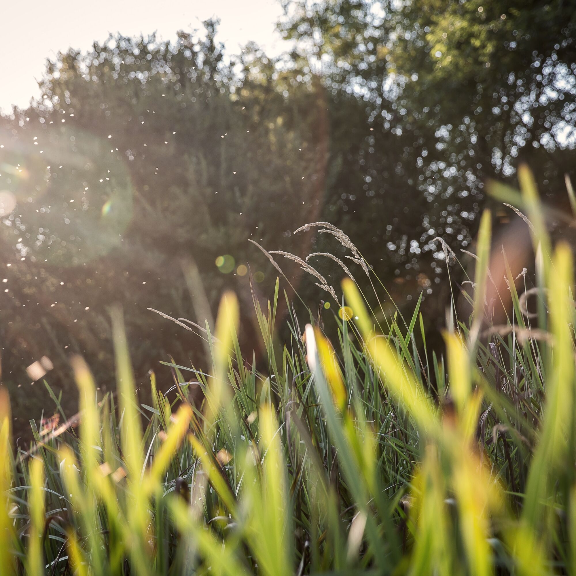

La Lucilière
Along the route: La Lucilière, La Brosse Samson, La Gauvrière, Château du Ligneron (19th century), La Boislivière, La Boucherie, La Vergne. Return via the Chemin de la Vergne to La Lucilière
Backpack containing:
a water bottle some snacks a fully charged phone a first-aid kit if necessary. Sun protection during the summer: a cap, sunglasses, and sunscreen.Appropriate hiking shoes: comfortable, closed-toe, and with good traction.
Clothing appropriate for the weather: a waterproof jacket, warm clothes, or sun protection, depending on the season.
Before setting out, check the weather forecast, choose a route suited to your skill level, and let a friend or family member know if you’re going on a long or remote hike.
Before you set out, be sure to pack gear appropriate for the length of your hike and the weather conditions. Wear comfortable hiking shoes with good traction, and dress for the season (a waterproof jacket in case of rain, sun protection on hot days, and warm clothing when it’s cool). Also bring a bottle of water, some snacks if needed, and make sure your phone is charged in case of an emergency. While on the trail, stay alert to your surroundings: some sections may be slippery after rain.Be considerate of other trail users (hikers, cyclists, horseback riders), stay on the marked trails, and help preserve nature by taking your trash with you. Finally, check the weather forecast before you set out and tailor your route to your skill level and physical condition. Enjoy your hike!
By car: The 12-kilometer drive from Saint-Gilles-Croix-de-Vie to Coëx takes about 15 minutes. Take the D6 toward La Roche-sur-Yon, then follow the signs to Coëx. The route gradually takes you away from the coast into the wooded countryside of the Vendée. By bike: Coëx is accessible from Saint-Gilles-Croix-de-Vie via a route that mainly follows small country roads. This route lets you discover another side of the region, passing through marshes, farmland, and bocage landscapes.
Coëx is accessible by bus from Saint-Gilles-Croix-de-Vie via the Aléop network in the Vendée. Line 572 connects Saint-Gilles-Croix-de-Vie to Coëx (Place Clémenceau stop in Coëx).
T1
Green
With its sunken paths, bocage landscapes, and local heritage, Coëx offers a preserved environment perfect for family walks. As you stroll through the town, discover the charm of this retro-littoral community, its Notre-Dame-de-l’Assomption church, and its landscapes shaped by nature.
For a fun family adventure, set off on a quest with “Louise and the Witch of Gué Gorand,” a scavenger hunt that invites children to explore Coëx while having fun. Accompanied by Louise, young detectives will have to solve puzzles, observe their surroundings, and take on challenges to unravel the mysteries of the village and Gué Gorand.
It’s a unique way for families to discover Coëx’s heritage and landscapes, combining a walk, imagination, and a spirit of adventure.
Discover the town: https://www.payssaintgilles-tourisme.fr/destination/nos-destinations/coex/
Popularne wycieczki w okolicy
-
5,0
LOOP N°16 - GIVRAND
światłoJazda na rowerze 19,0 km -
VIGNES ET CAMPAGNE CIRCUIT N°3
średniWędrówka 13,5 km -
BOUCLE N°9 - COËX
światłoJazda na rowerze 13,3 km -
TERROIR DE BREM SUR MER" WINE ROUTES (VELO)
światłoJazda na rowerze 32,5 km -
WINE ROUTES "TERROIR DE BREM SUR MER"
światłoWędrówka 30,6 km -
BOUCLE N°27 - TOUR DU PAYS DE ST GILLES
średniJazda na rowerze 97,5 km -
BOUCLE N°20 - SAINT GILLES CROIX DE VIE
światłoJazda na rowerze 9,59 km -
BOUCLE N°13 - LE FENOUILLER
światłoJazda na rowerze 4,70 km -
WEINROUTEN "TERROIR VON BREM SUR MER"
światłoJazda na rowerze 30,6 km -
BOUCLE N°26 - SAINT RÉVÉREND
światłoJazda na rowerze 10,5 km
Wędrówki i tropienie


Nie przegap ofert i inspiracji na następne wakacje
Twój adres e-mail została dodana do listy mailingowej.





