


CIRCUIT DU BELVEDERE N°19
For a description of the routes, obtain the guide from the Mairie.

1
Start at car park 1, rue du Parc (Beaulieu campsite)
Follow the D38 towards St Gilles for 130 metres, then take the chemin de St Benoît to the chemin du Maraîchet. Walk along the stadium to the stabilised pitch. Follow the footpaths from the allée des Charmes to the rue du Petit-Verger.
2
Rue du petit verger
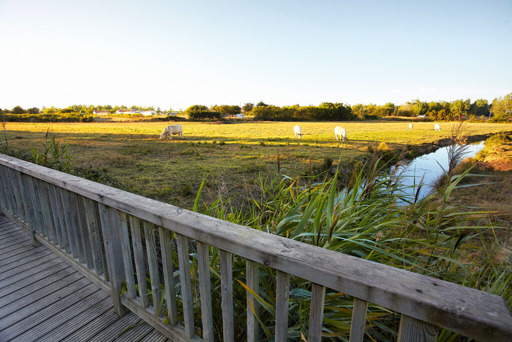
Go down chemin de la Barre, take rue du Bourg as far as passage des Marattes to reach Le Marais. You can climb up to the Belvedere and then walk along the ponds to the end of the Coulée Verte.
3
Impasse du Fief
Go back down the path along the Danilo. At the impasse du Fief, join the auberge on rue du Rocher, take the Chemin du Pré Nu to the Chemin de Saint-Benoit and return to the car park.
4
In an emergency, dial 112
Think about carpooling
Choose public transport for your journeys
Parking close to the starting point
YELLOW
Popularne wycieczki w okolicy
- 5,0
LOOP N°16 - GIVRAND
światłoJazda na rowerze 19,0 km BOUCLE N°22 - SAINT HILAIRE DE RIEZ
światłoJazda na rowerze 25,8 kmVIGNES ET CAMPAGNE CIRCUIT N°3
średniWędrówka 13,5 kmBOUCLE N°9 - COËX
światłoJazda na rowerze 13,3 kmA feast for the eyes and easy on the legs! (2 days / 3 nights)
światłoJazda na rowerze 51,4 kmTERROIR DE BREM SUR MER" WINE ROUTES (VELO)
światłoJazda na rowerze 32,5 kmWINE ROUTES "TERROIR DE BREM SUR MER"
światłoWędrówka 30,6 kmBOUCLE N°27 - TOUR DU PAYS DE ST GILLES
średniJazda na rowerze 97,5 kmLOOP No. 4 - BREM SUR MER
światłoJazda na rowerze 12,8 kmBOUCLE N°15 - GIVRAND
światłoJazda na rowerze 8,23 km
Wędrówki i tropienie


Nie przegap ofert i inspiracji na następne wakacje
Twój adres e-mail została dodana do listy mailingowej.