




Kotka national urban park cycling route
Poziom trudności: 2
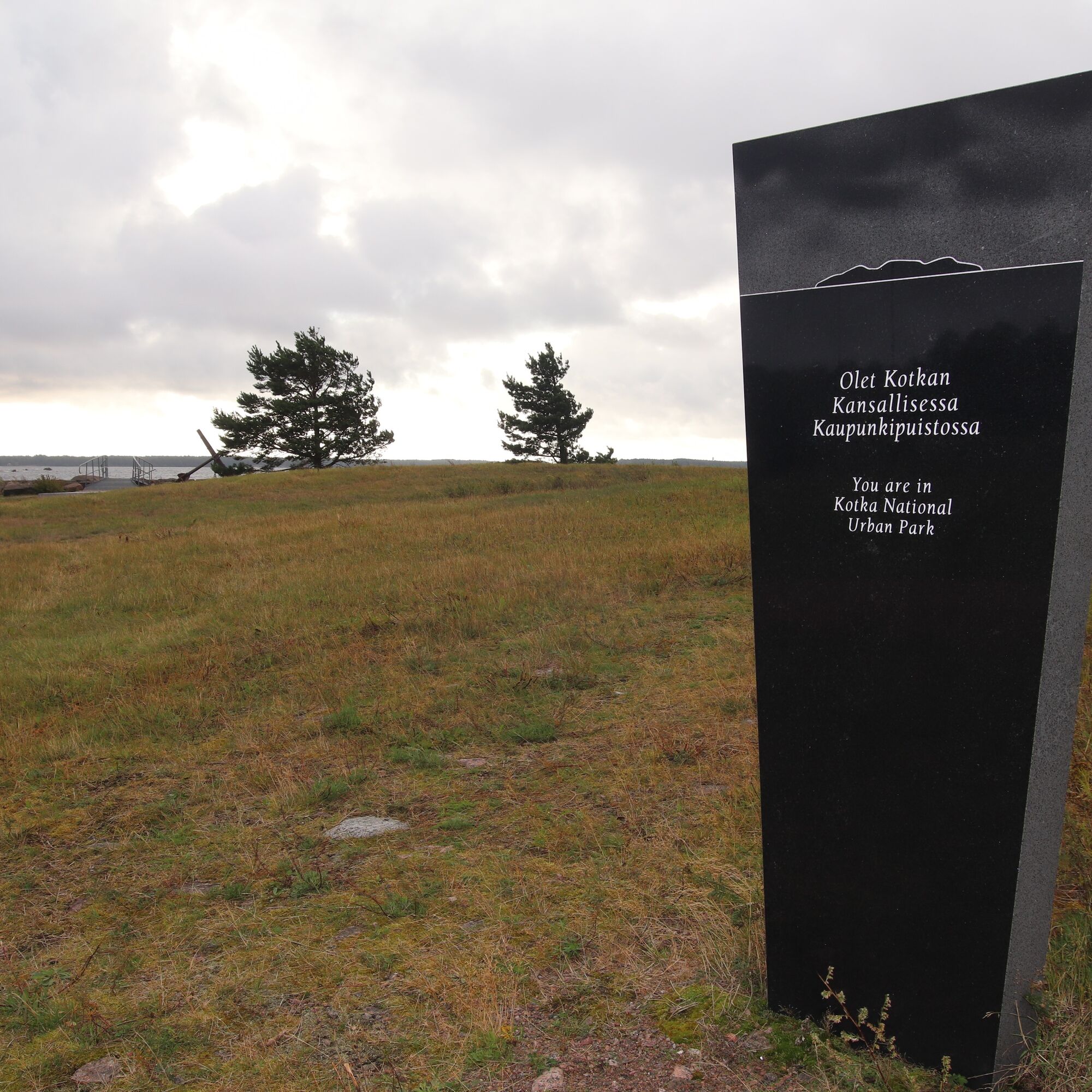
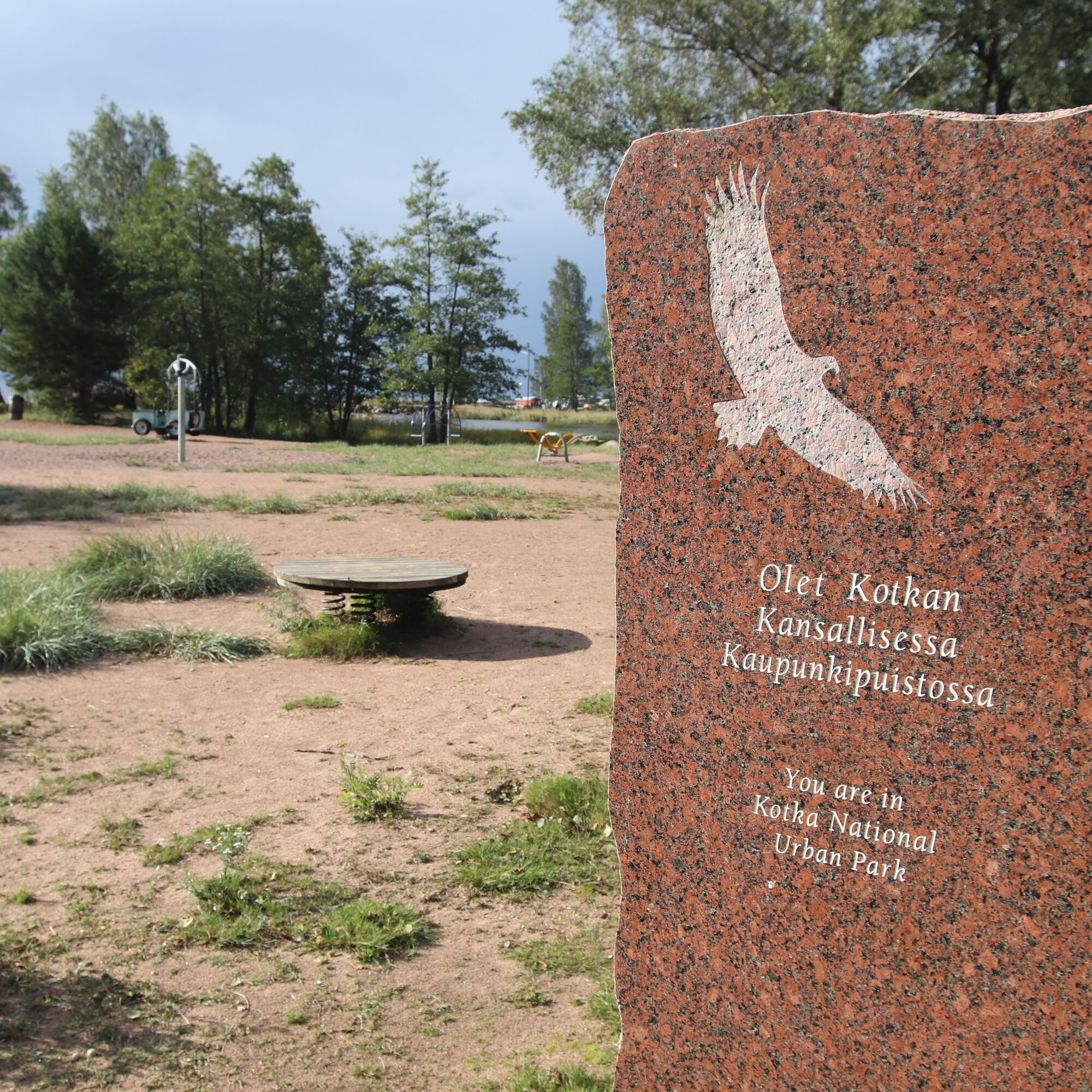
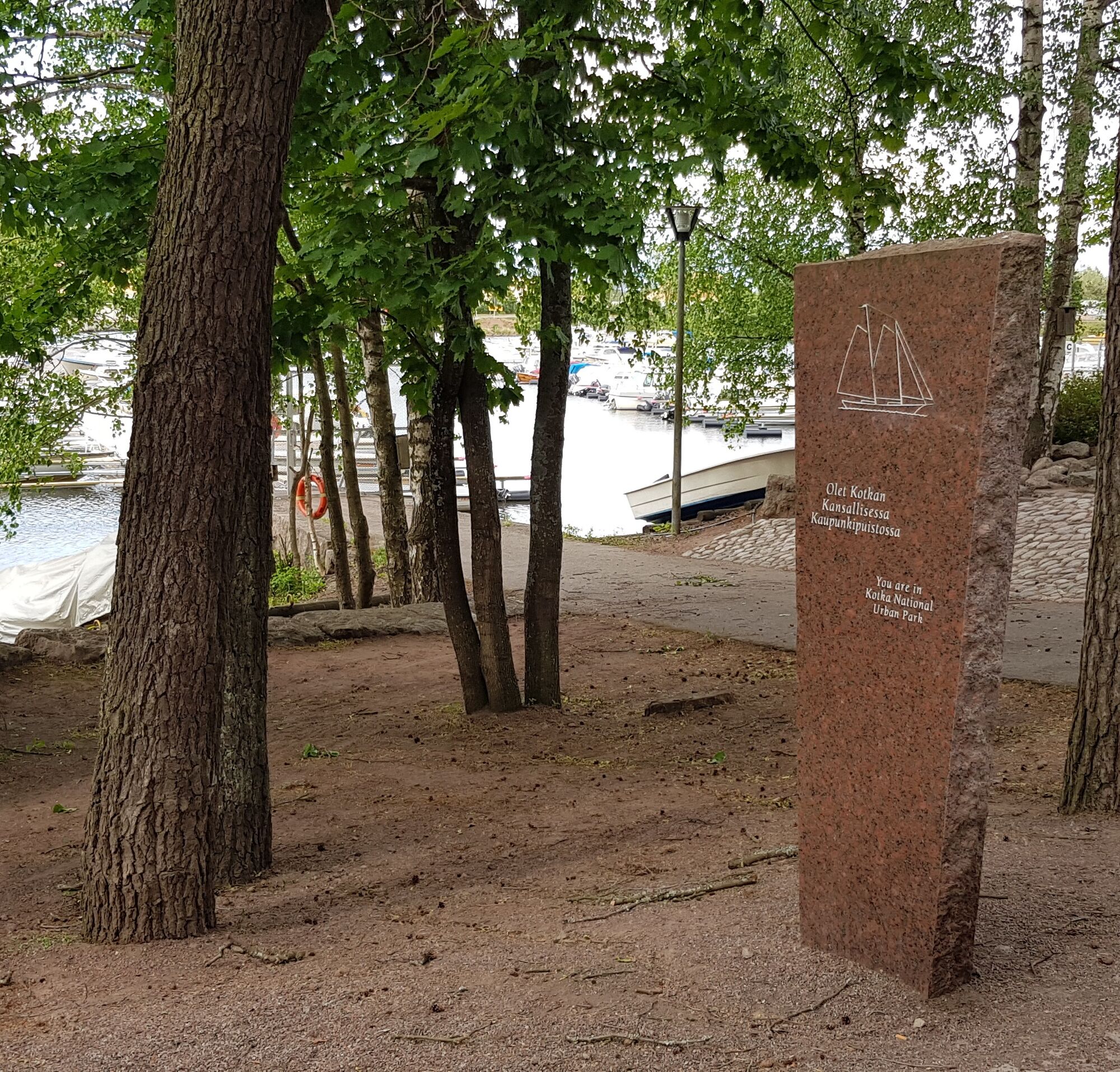
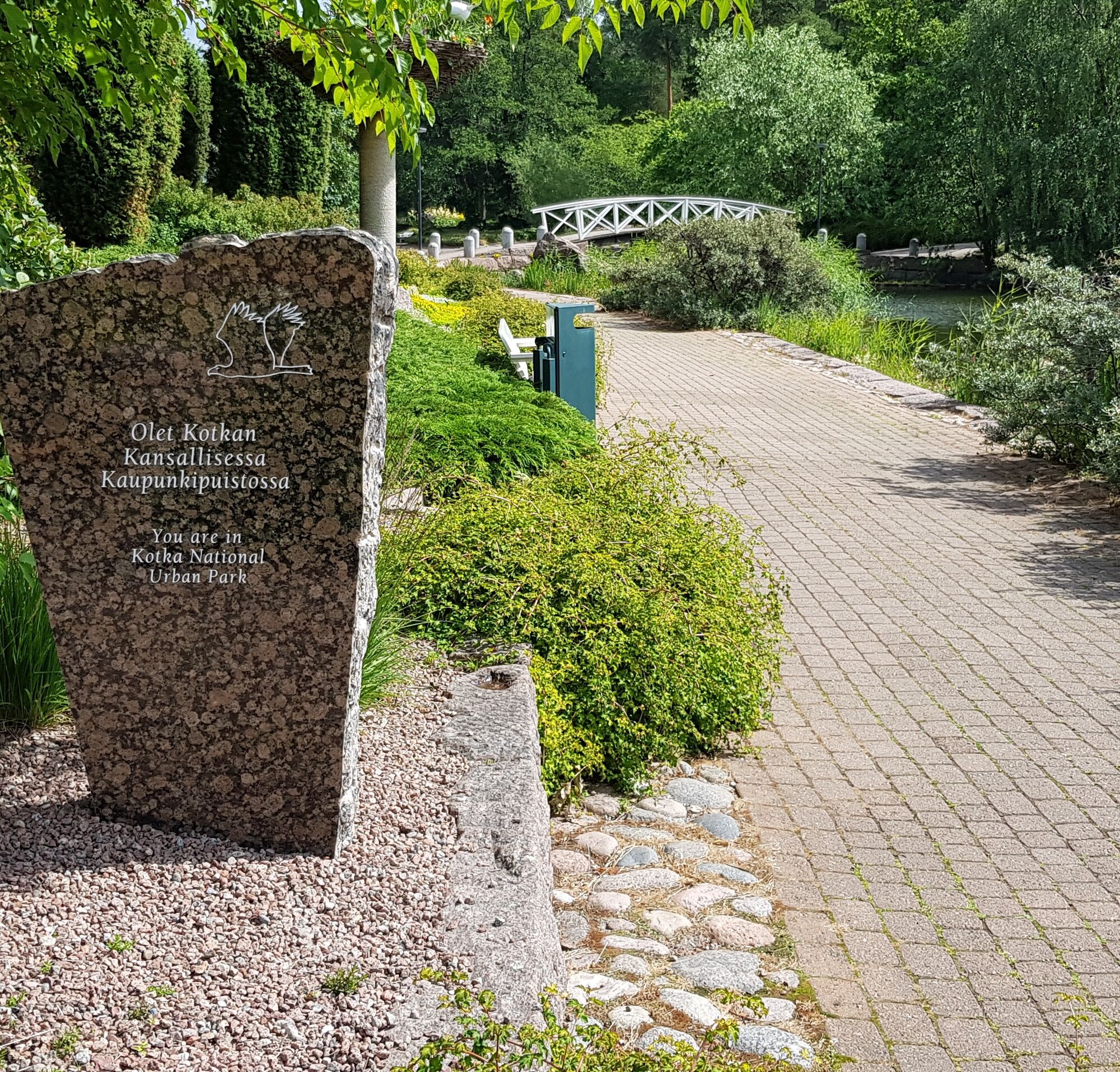
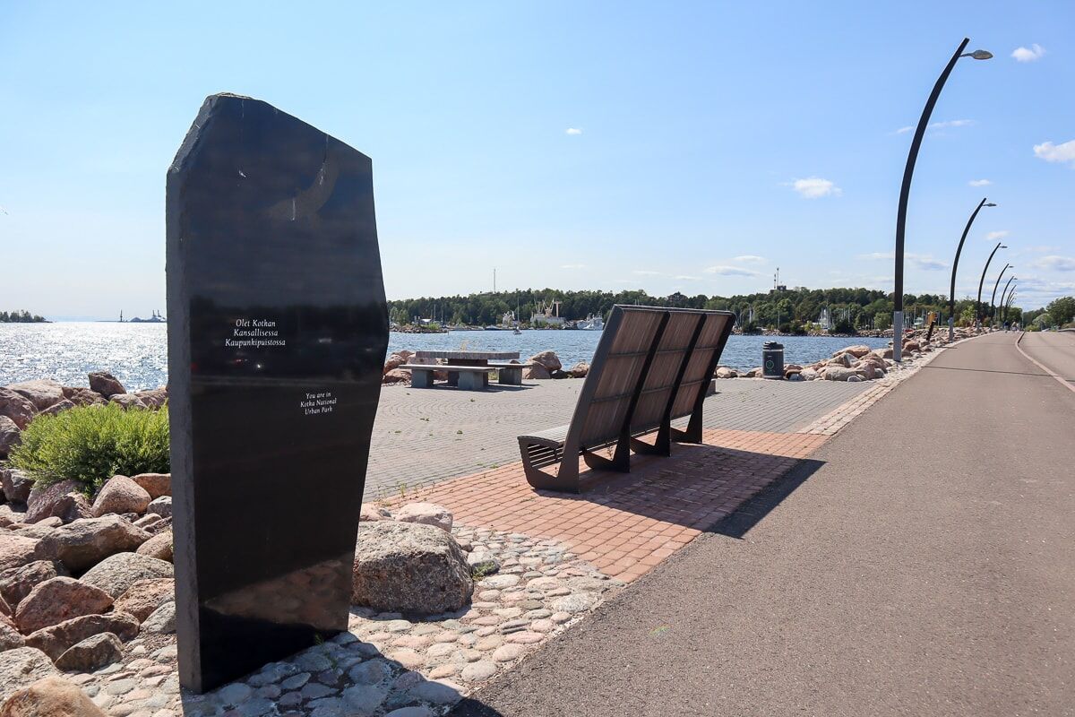
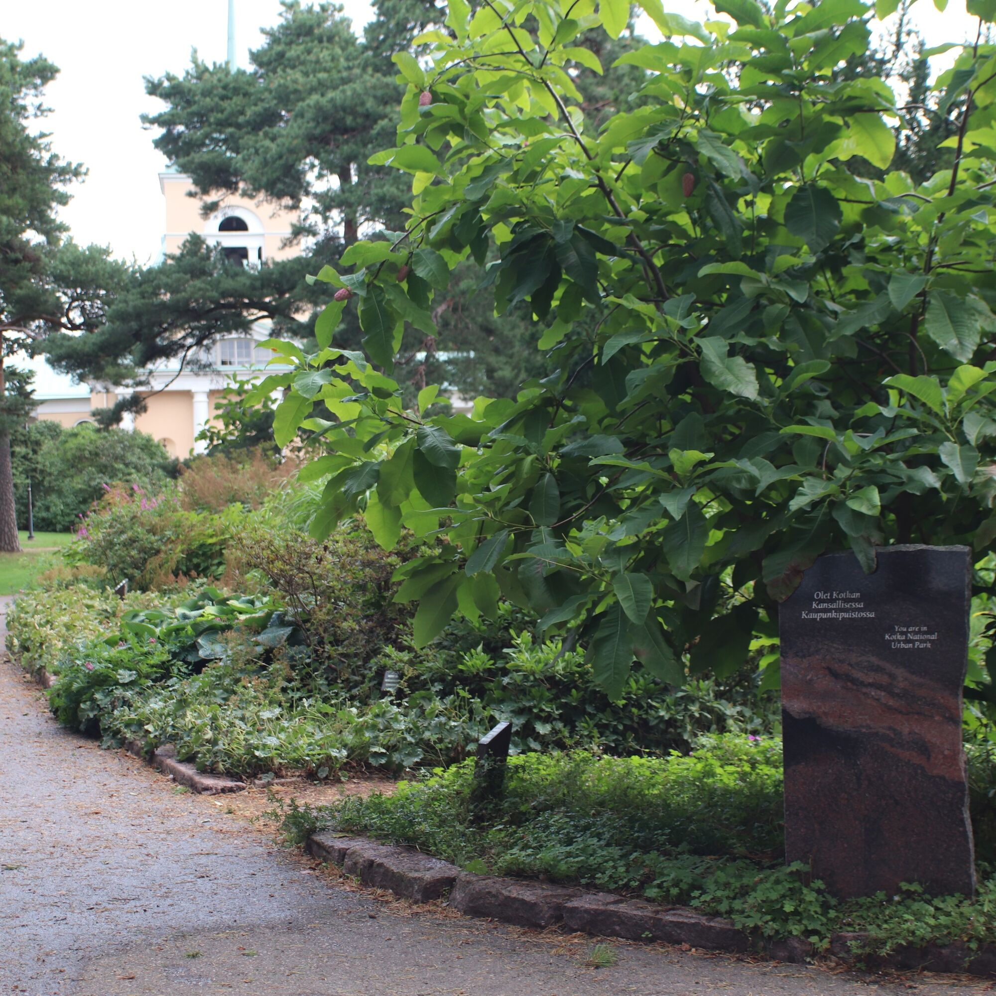
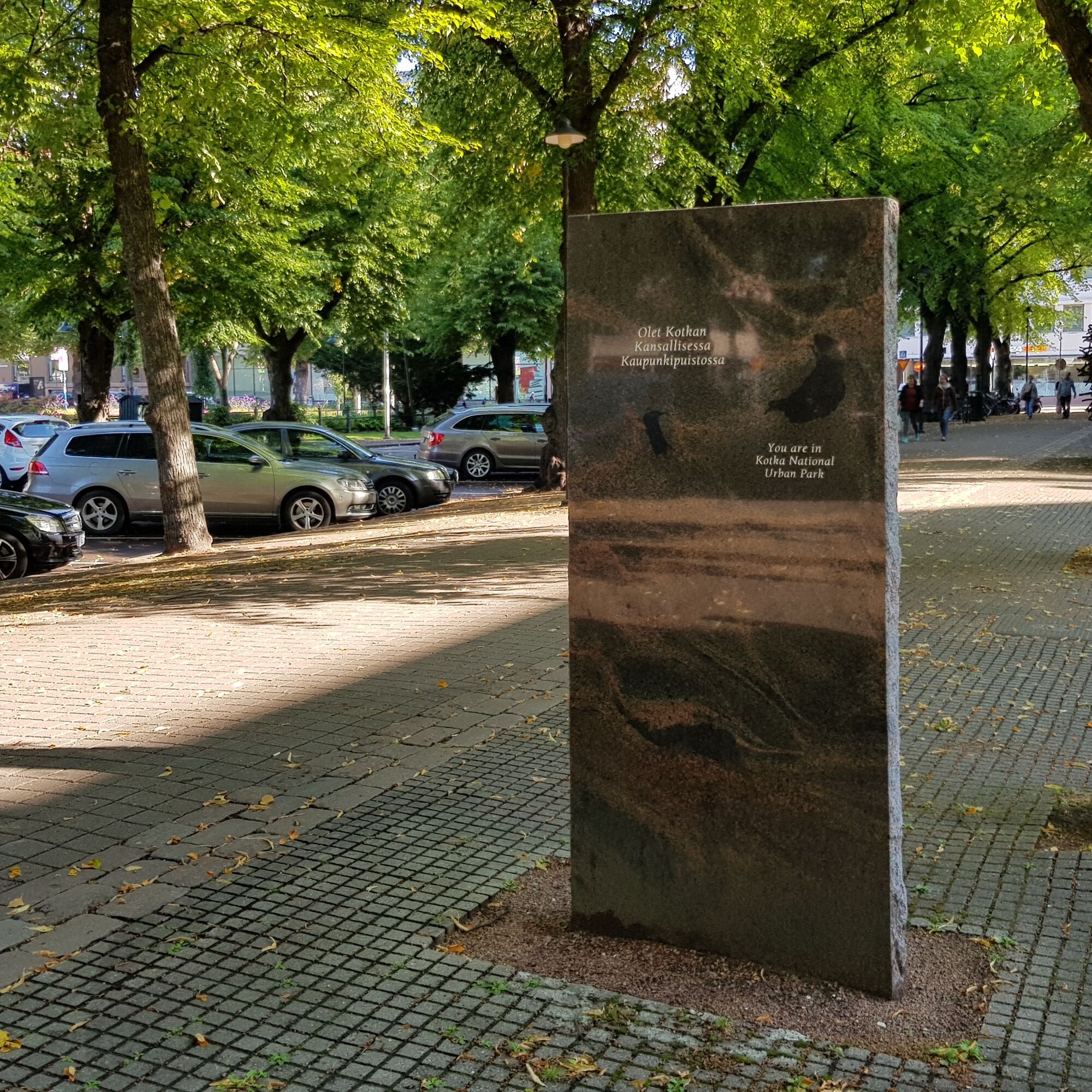
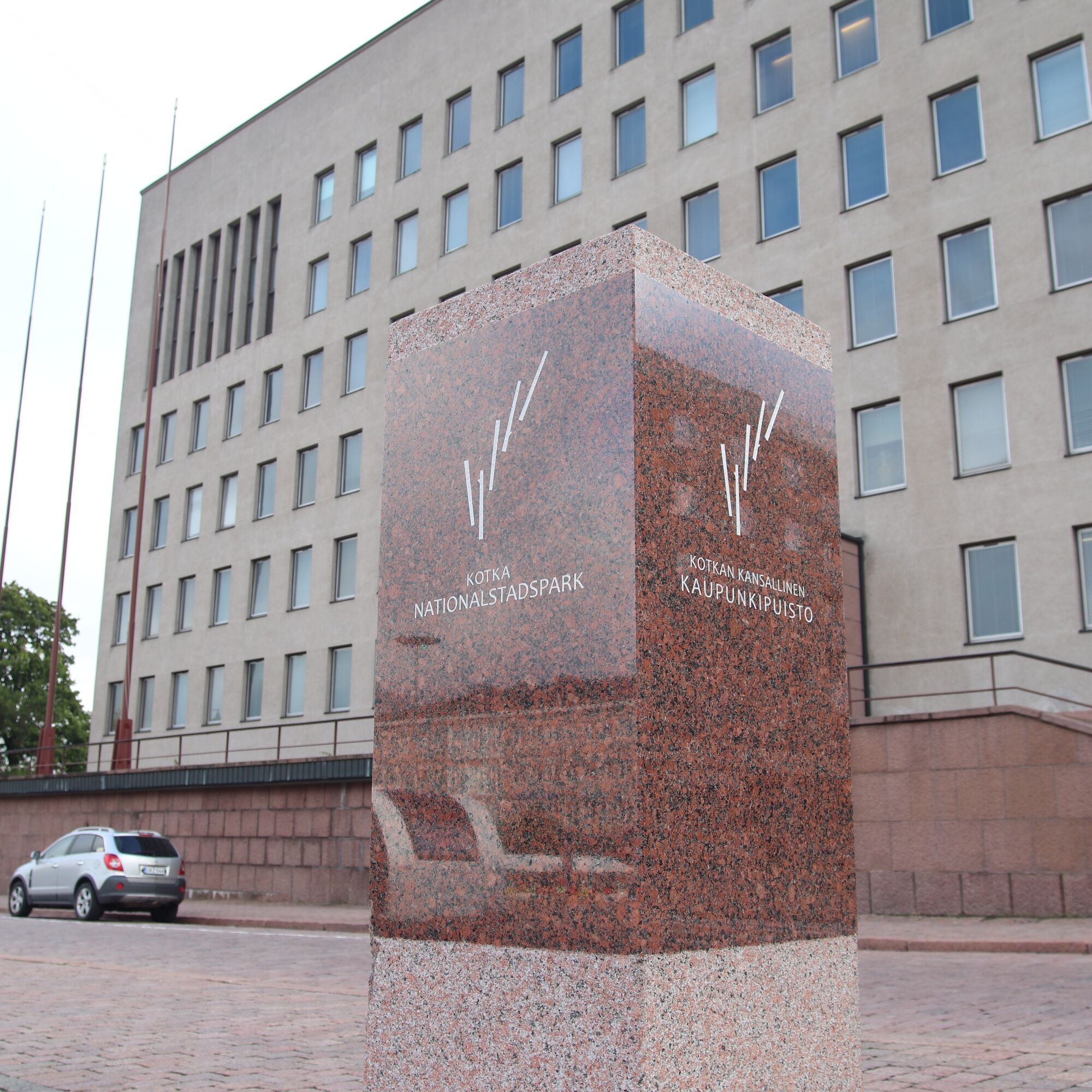
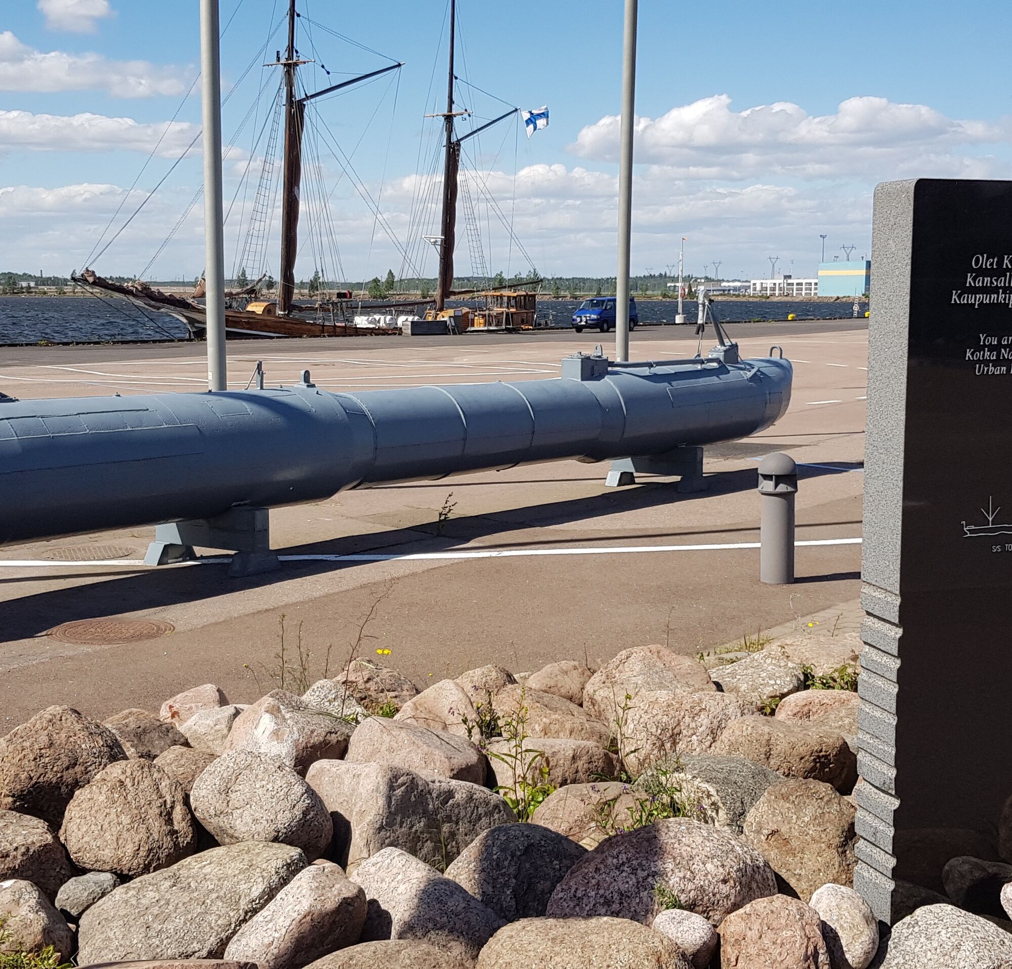
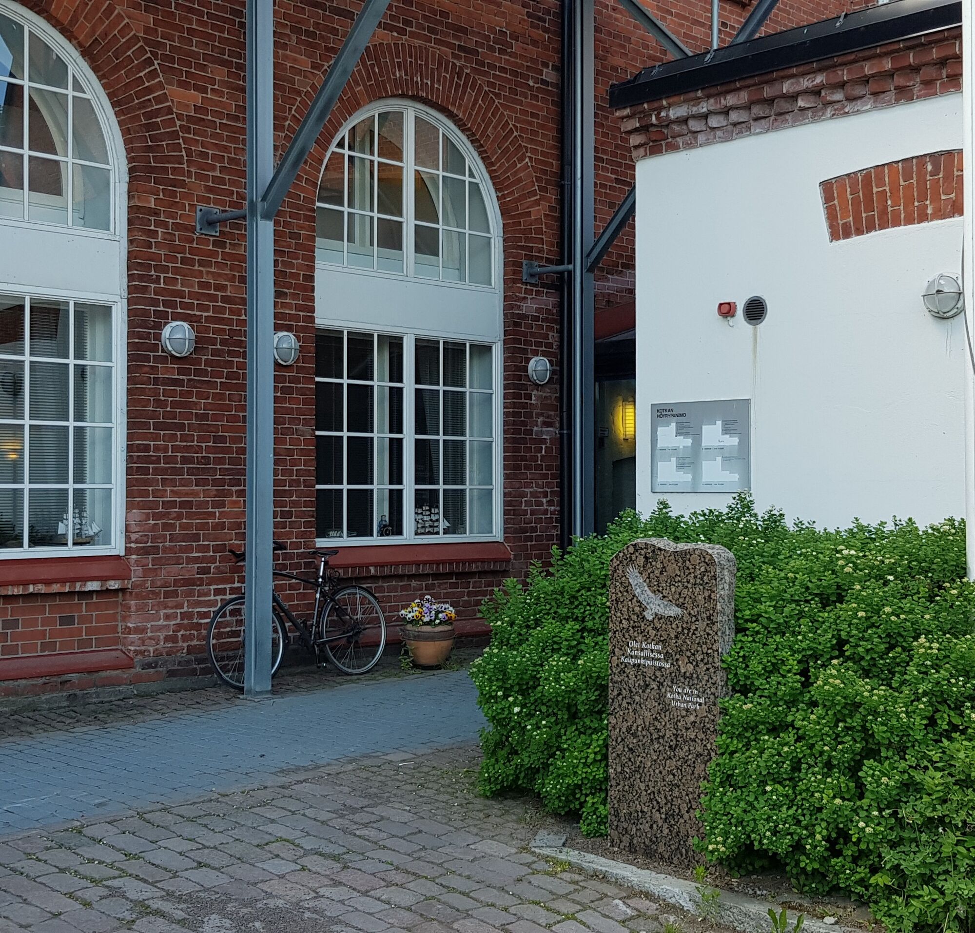
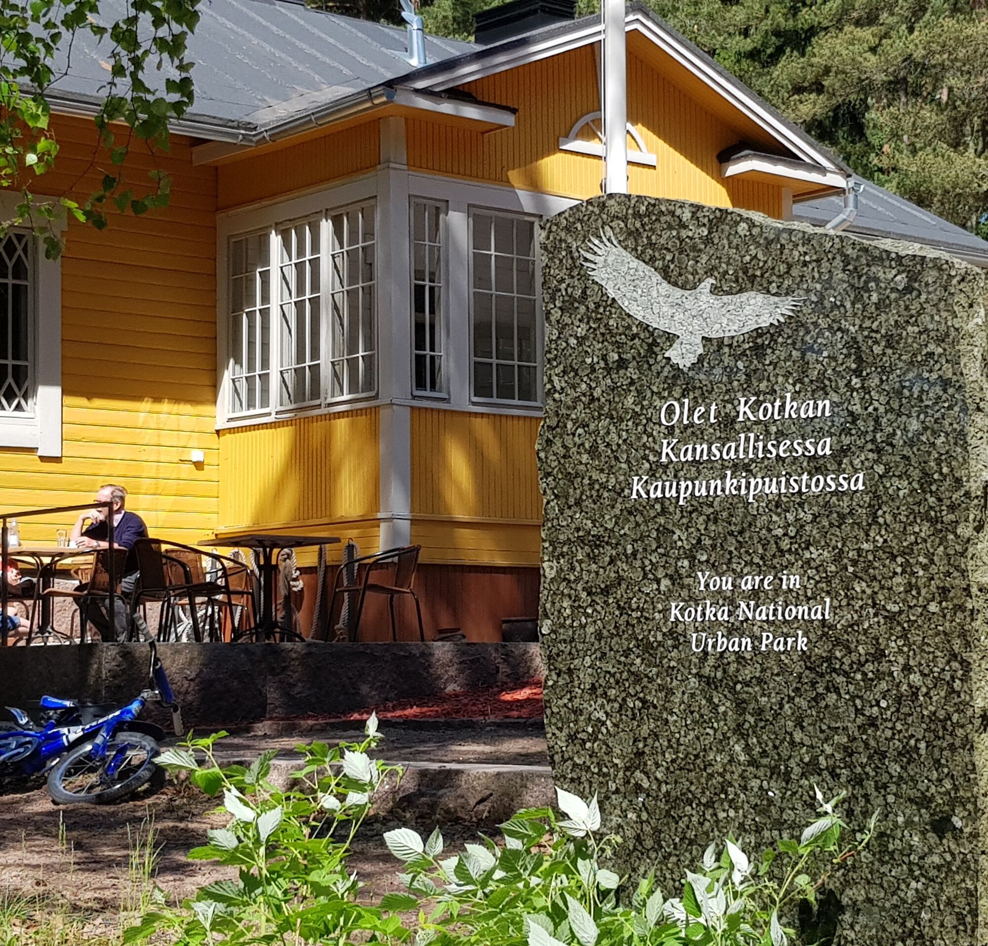
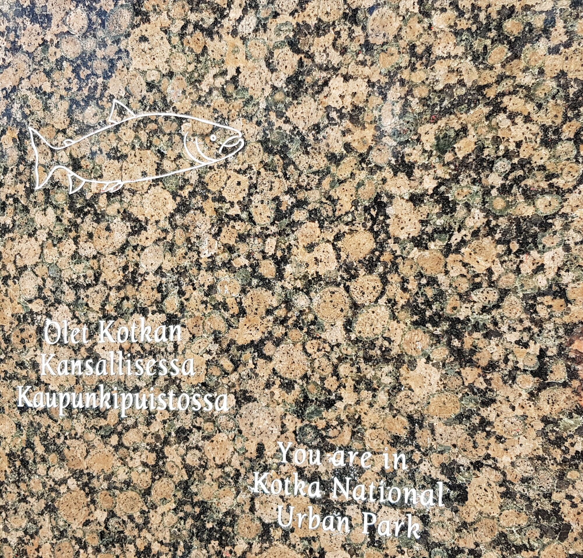
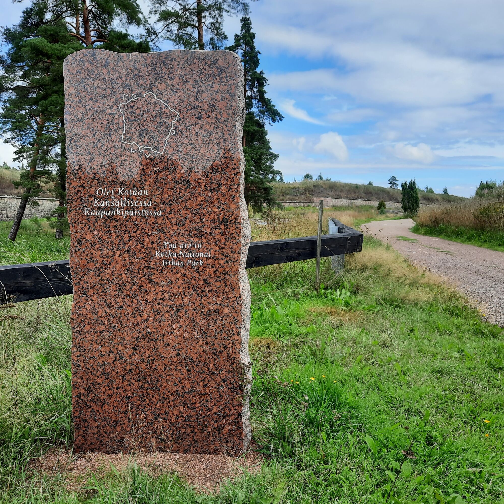
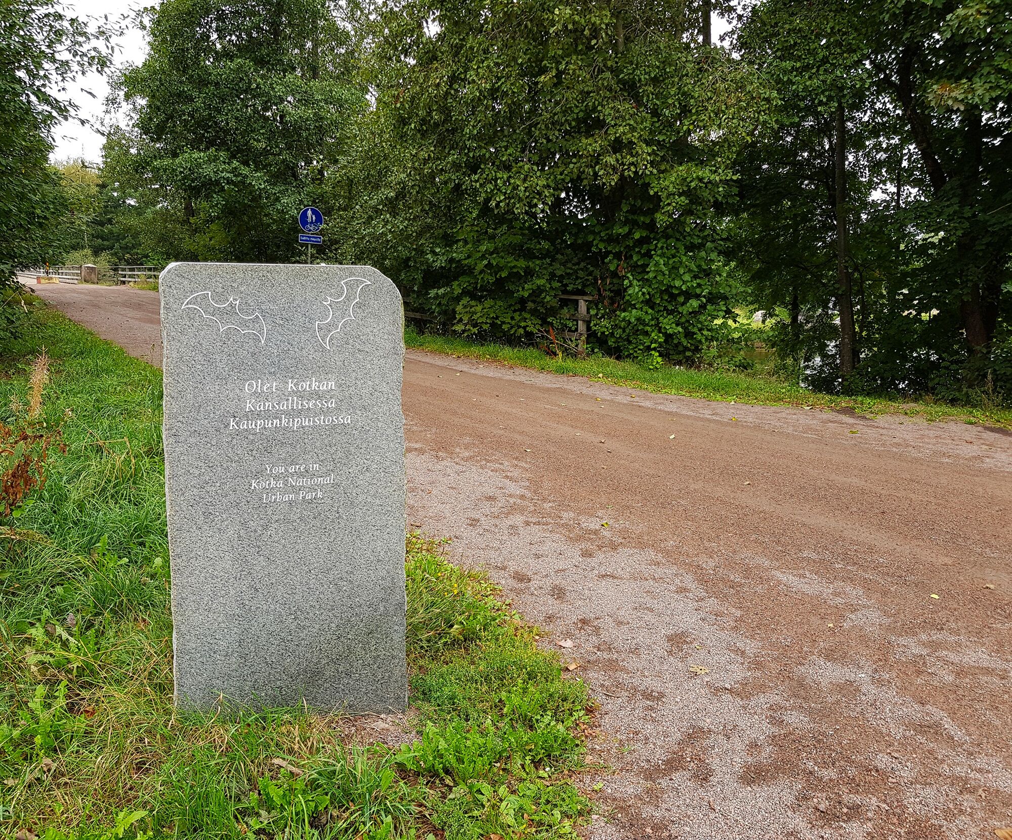
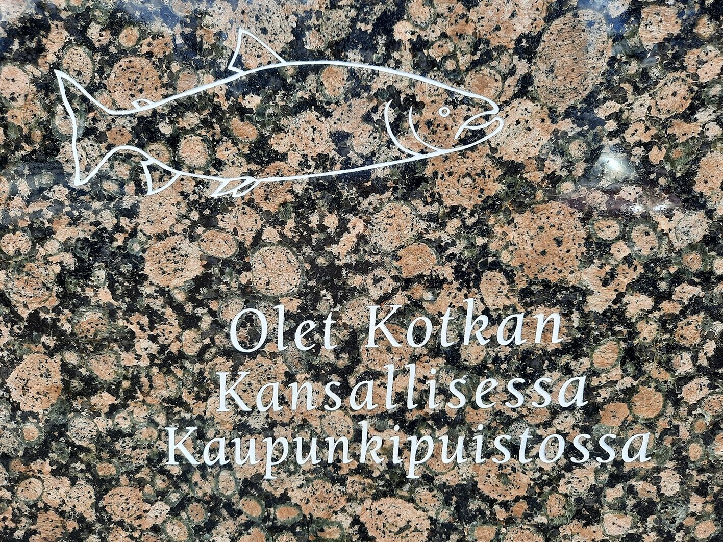
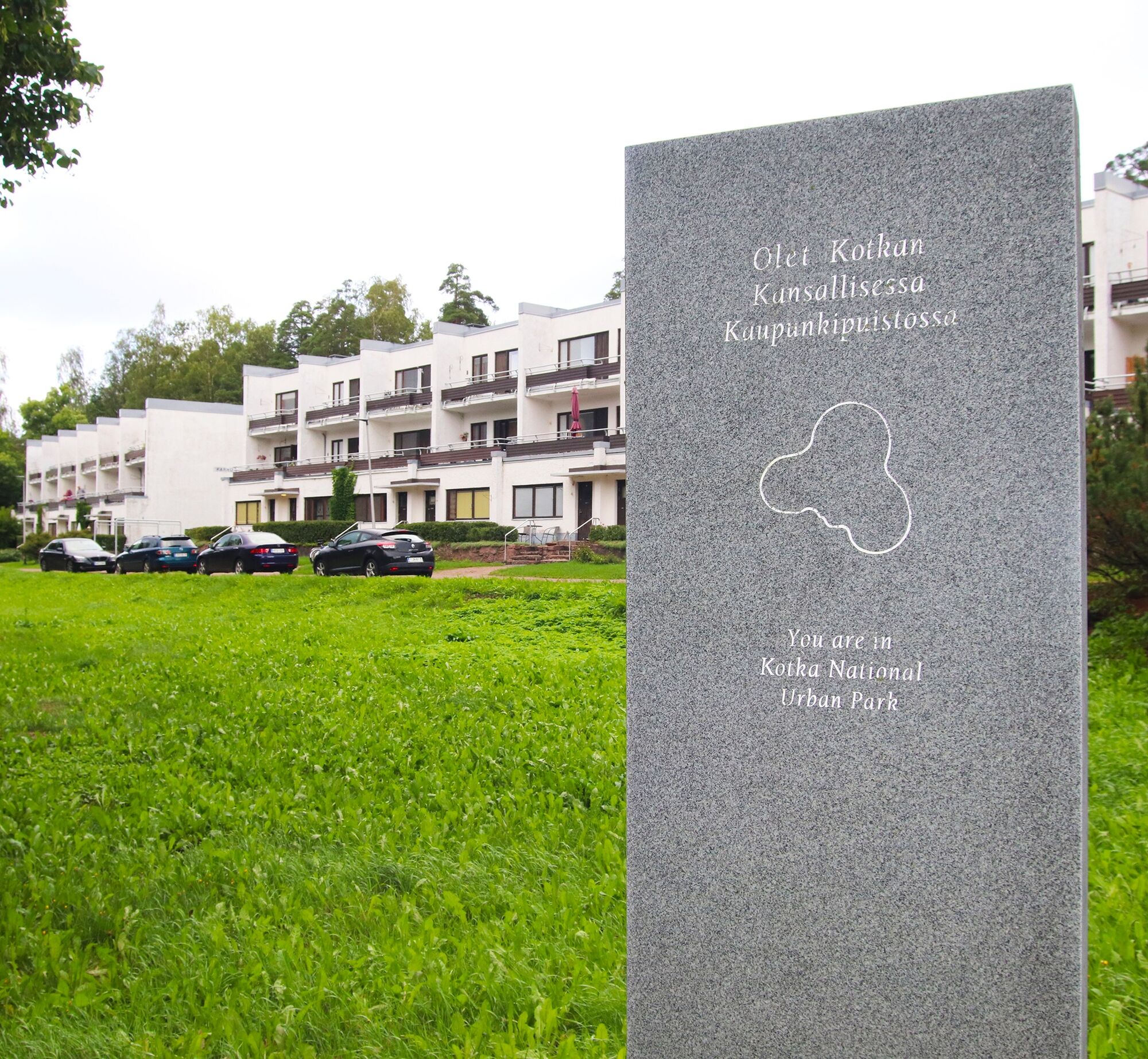
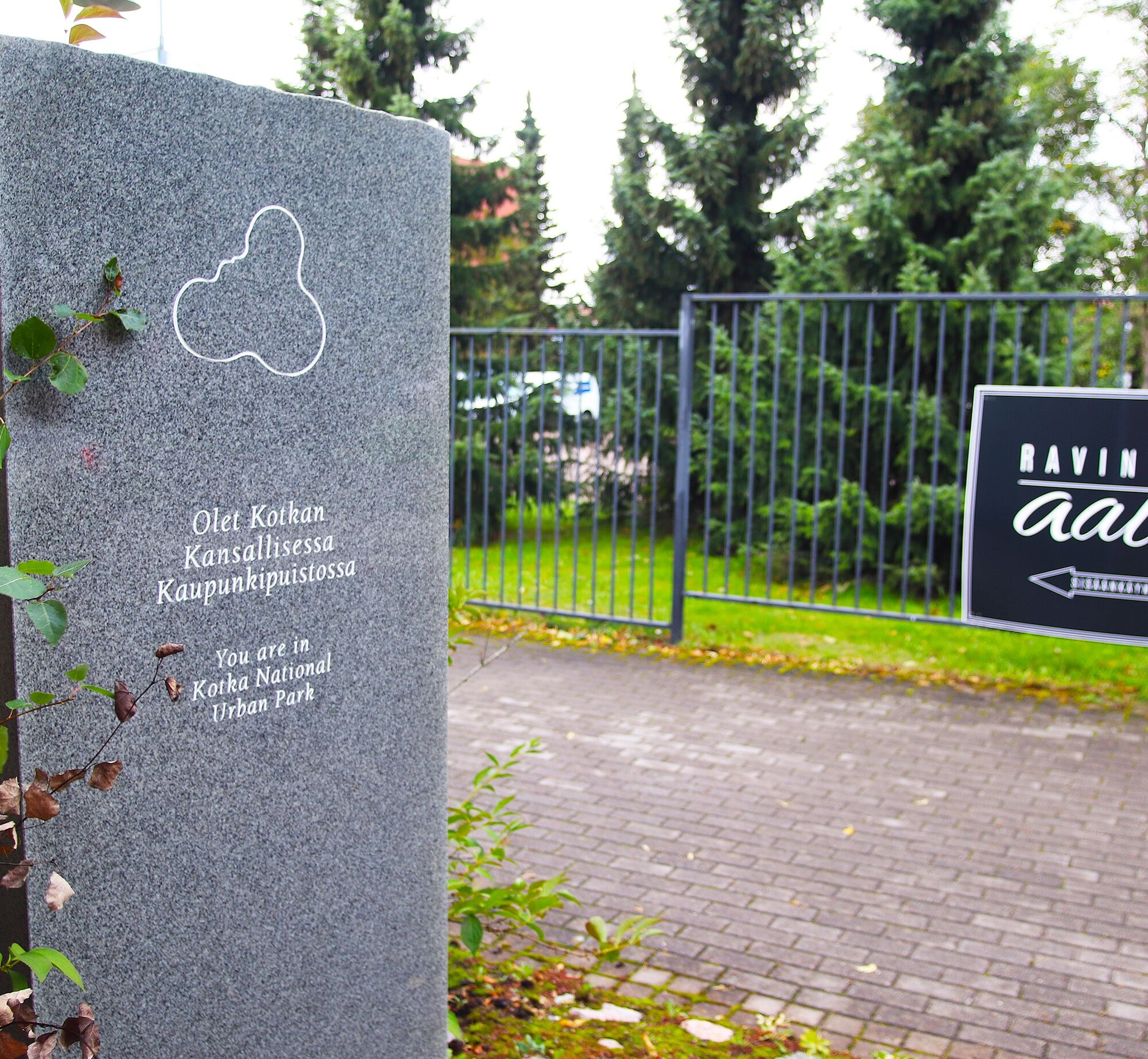
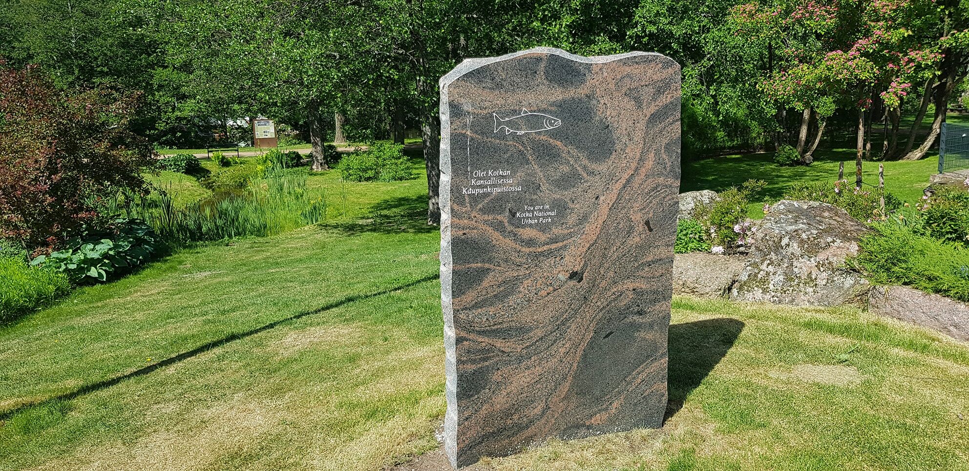
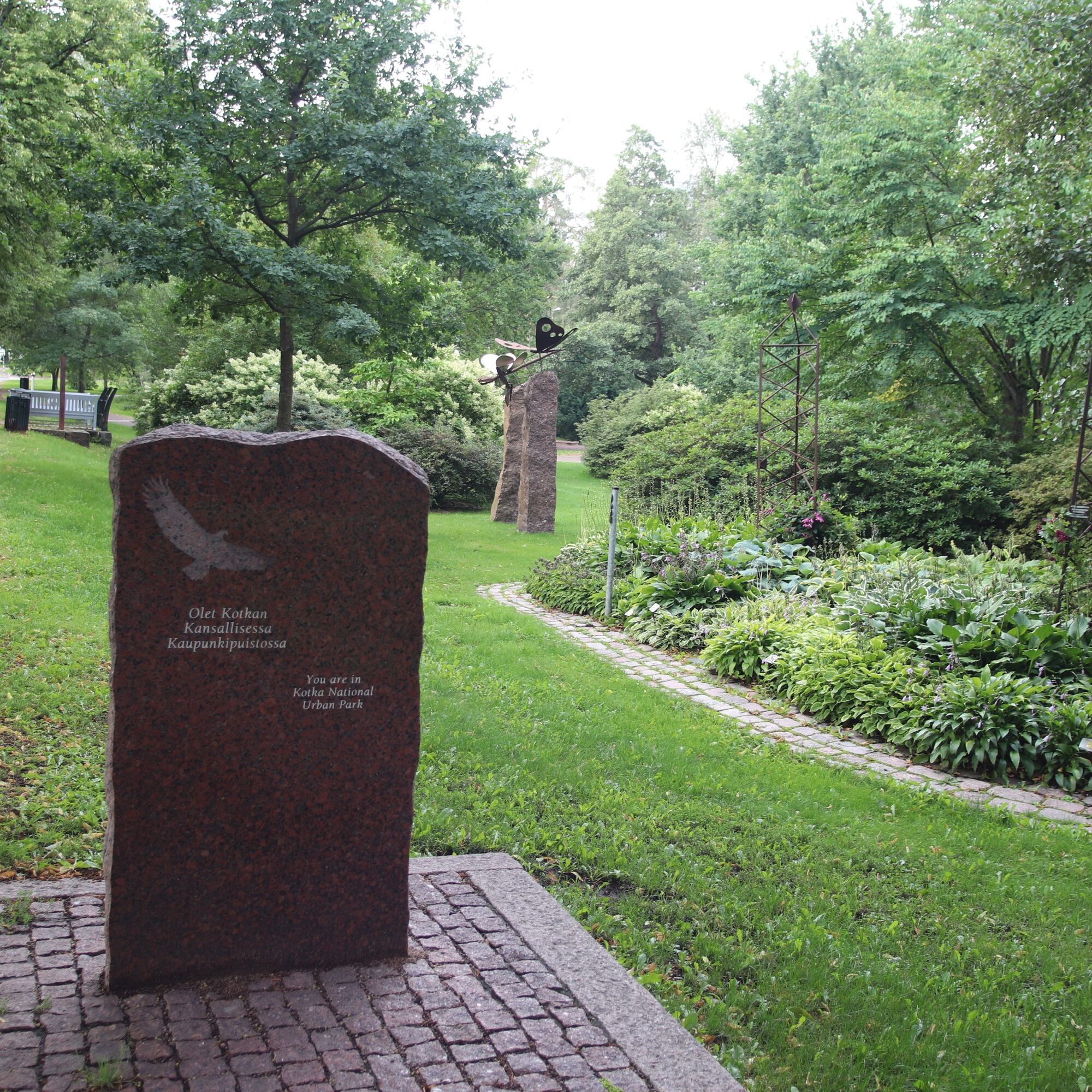
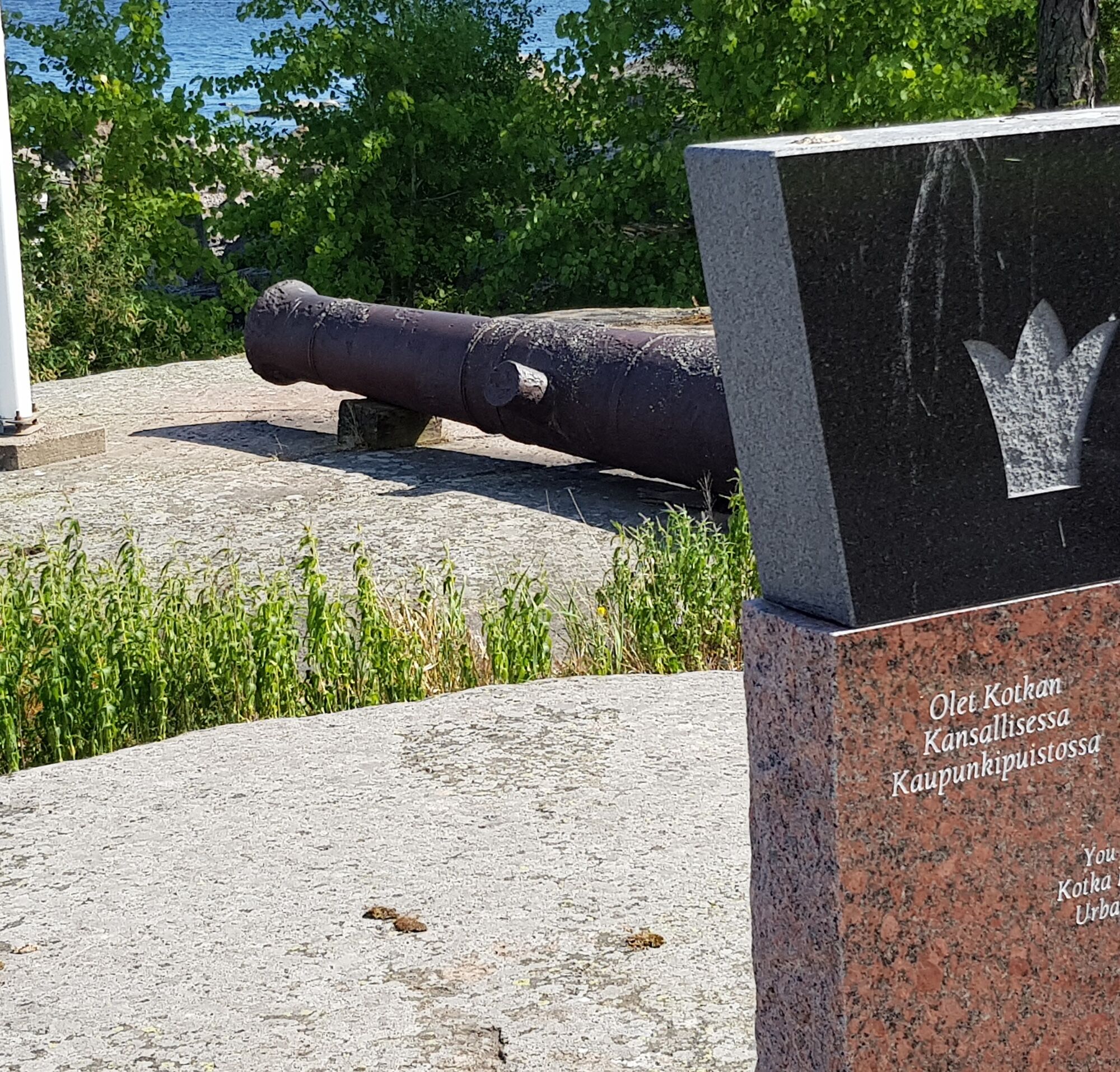
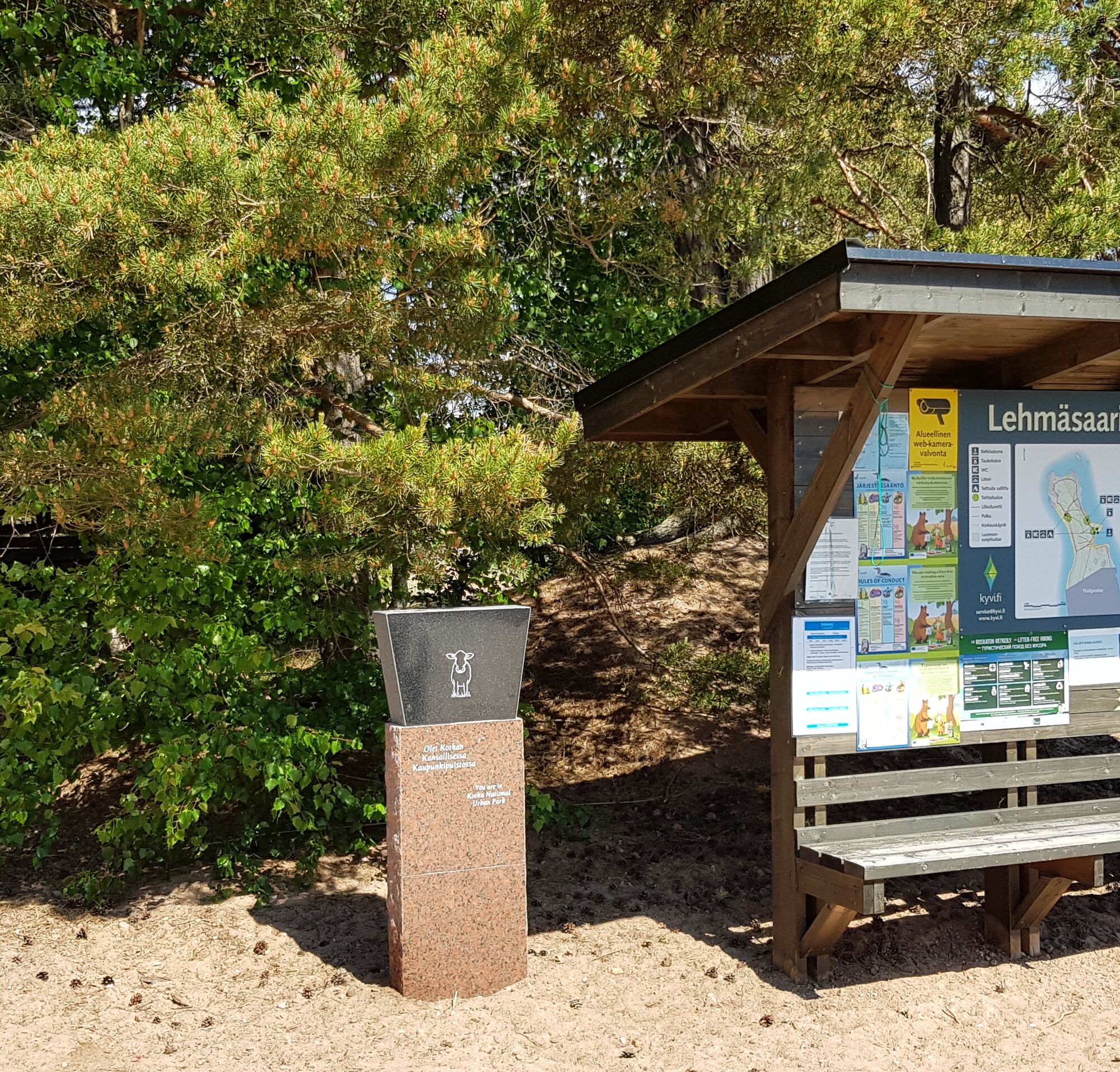
This route takes you to the heart of Kotka's national urban park. The route passes through stone markers erected at sites of the urban park, narrating the story behind the park.
Although Kotka is Finland's...
This route takes you to the heart of Kotka's national urban park. The route passes through stone markers erected at sites of the urban park, narrating the story behind the park.
Although Kotka is Finland's park capital and all the award-winning parks are an important part of it, the urban park also has a lot of other interesting sights and experiences. For those interested in history, the area has abundant remains from the naval battles of Ruotsinsalmi and the fortress town of Ruotsinsalmi built by order of Catherine the Great, the most significant being the Kyminlinna earth fortress and the artillery batteries of Katariina Peninsula. At Langinkoski, you can learn about the tsars' life through the fishing lodge built for Tsar Alexander III and the area's fishing history.
For fans of architecture and design, the route offers highlights in the form of the Sunila factory and residential area for its workers, designed by Alvar Aalto. At Karhula industrial park, you can explore the famous Karhula glass factory area where the world-renowned Aalto glassware and Savoy vases designed by Aino Aalto were once produced.
In addition to attractions, the route features numerous beautiful views and pleasant hiking trails. Cycle the route and fall in love with Kotka forever.

Tak
Tak
Please wear a cycling helmet when riding your bike.
Most of the route consists of bike paths. Roads shared with cars are village roads with very low traffic volumes.
Take exit 74 from the E-18 motorway and continue south on Hyväntuulentie until you reach Kotka city center.
The route starts from Kotka city center, accessible by both local and long-distance buses. Kotka city center can also be reached by train from Kouvola.
There are both paid and free parking areas in the region.
2
Along the route, there are several cafés where you can stop for a break.
Cafés in Kotka city center Metsola Steam Brewery Café Dagmar, Langinkoski Villa Munkholma, Siikakoski Cafés in Karhula centerThe route offers a good selection of Kotka's main tourist attractions
10 of Kotka's award-winning parks are located along the route. The most significant of these are Katariina Sea Park, Sapokka Water Park, Siikakoski Rapids Park, and Karhula River Park. The imperial fishing lodge built for Russian Emperor Alexander III, now operating as a museum, located on the shore of Langinkoski. The Kyminlinna earth fortress built by order of Catherine the Great. Visiting spots: the maritime center Vellamo and the aquarium of native fish, Kotka Maretarium. The Sunila district designed by Alvar Aalto.Popularne wycieczki w okolicy
-
Santalahti Resort - Rapids Route
światłoJazda na rowerze 28,0 km -
By luck and bike, cultural route
światłoJazda na rowerze 88,3 km -
Kotka park route
światłoJazda na rowerze 8,03 km -
Santalahti nature trail, Kotka
światłoWędrówka 4,40 km -
Canoe expedition Inkeroinen - Kotka
średniKajak / Canoe 93,7 km -
Santalahti Resort - Kotka Park route
światłoJazda na rowerze 18,3 km -
Santalahti Resort - Alvar Aalto's Sunila
światłoJazda na rowerze 34,4 km -
Kymijoki riverside scenic route
średniJazda na rowerze 73,3 km -
Kymi River Rapids Cycling Route, Kotka
światłoJazda na rowerze 24,8 km -
Alvar Aalto's Kymenlaakso
światłoJazda na rowerze 96,8 km
Wędrówki i tropienie


Nie przegap ofert i inspiracji na następne wakacje
Twój adres e-mail została dodana do listy mailingowej.





