



Hevossopisto Cultural Tour

Historically Ypäjä's Kartanonkylä belonged to Jokioinen manor until 1792. The Kartanonkylä estates transferred to Alfred Kordelin's ownership in 1915. The area transferred to state ownership in 1929, after...
Historically Ypäjä's Kartanonkylä belonged to Jokioinen manor until 1792. The Kartanonkylä estates transferred to Alfred Kordelin's ownership in 1915. The area transferred to state ownership in 1929, after which it became the center of state horse breeding. The area has been home to the Defence Forces' riding school and the state horse stud farm. The current Hevossopisto area forms a unique and temporally deep diverse nationally significant built cultural environment. The area is surrounded by old pasture areas created by horse breeding and grazing, which are protected and tell of natural biodiversity as traditional biotopes. Grazing horses remain a trademark of Finland’s Horse Parish Ypäjä to this day.
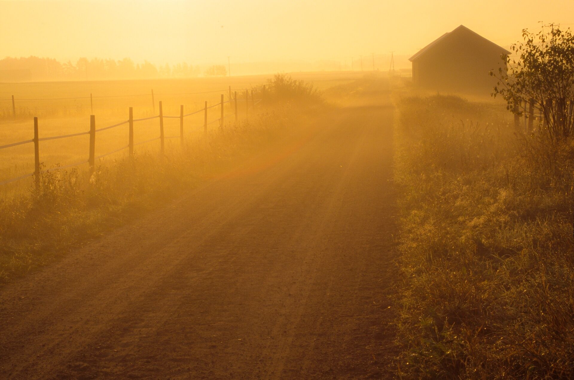
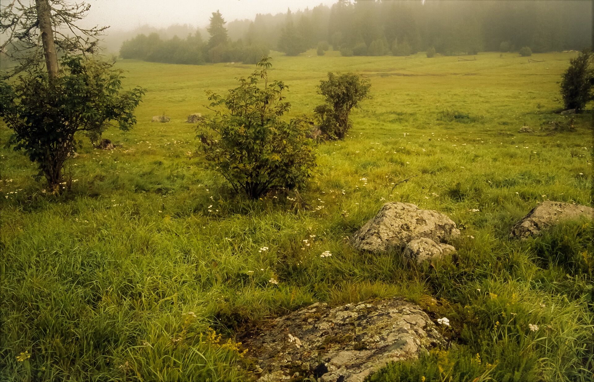

The route starts in front of the Student Cafeteria towards the park of the presidents' horses, from where you head south towards the Loimijoki river valley. On the route, on the right side, you can see the covered Poukkasilta bridge crossing the Loimijoki river. The route continues with a gentle uphill through the riverside pastures of the Loimijoki river, then turns through the Ahteensuu groves, crosses Varsanojantie, to a dry pine heath section. After crossing Kartanonkyläntie, the sandy path passes old meadow pastures, which are nationally significant traditional biotope areas. The route turns to a short forested section towards dry rocky meadow pastures characterized by biodiversity and structural representativeness. After a gentle downhill, the route turns left towards the endpoint, where a path bordered by stone fences leads. After crossing Varsanojantie, you arrive at the yard area of the Hevossopisto and in front of the Student Cafeteria.
Tak
Tak
Appropriate outdoor clothing for the weather.
The route has a sandy base and is mostly easy to walk. Horses moving in the area must be taken into account. Road crossings. Entry to pastures is prohibited. Feeding horses is prohibited. Open fires are prohibited in the area.
We are located in an ideal place near main road 10, about 20 kilometers from Forssa towards Turku. The distance to the institute is 75 km from Turku, 100 km from Tampere, and 130 km from Helsinki. Welcome to visit.
Bus connections to Forssa and Loimaa. Public transport timetables can be checked at matkahuolto.fi
Free parking.
Presidents' horses park; Marshal Mannerheim's horse Kathy's memorial. Finnish horse sports museum. Stone Age dwelling site Viloila.
Popularne wycieczki w okolicy
-
Horse Institute route to Birdwatching Tower and Lean-to Shelter
światłoWędrówka 8,50 km -
Talastuvan vaellusreitti
światłoWędrówka 13,1 km -
Pertunkaaren BMX-maastopyöräilyreitti
Mountainbike 1,04 km -
Pertunmäen valuistu kuntorata
Wędrówka 2,38 km -
Ypäjän maastopyöräreitti
Mountainbike 20,7 km -
Tammela - Portaan Nahkurinverstas - Alastaro
średniKajak / Canoe 103,2 km
Wędrówki i tropienie


Nie przegap ofert i inspiracji na następne wakacje
Twój adres e-mail została dodana do listy mailingowej.


