





Panoramic circular hike on GR 139 - Reserva de la Biosfera de Gran Canaria from Artenara
Poziom trudności: T2
The wide hiking trail on the GR 138 - Gran Canaria World Heritage Site
The GR 138 wide hiking trail, which leads through the impressive landscape of Gran Canaria, is an absolute must for hiking enthusiasts...
The GR 138 wide hiking trail, which leads through the impressive landscape of Gran Canaria, is an absolute must for hiking enthusiasts and adventure seekers. This route connects the charming municipality of Artenara with various natural and cultural highlights of the island, offering a perfect mix of sporting activity and nature experiences.
Route descriptionThe hike begins in Artenara, a picturesque village known for its cave dwellings. From here, the trail leads through breathtaking landscapes characterized by green valleys, rugged cliffs and endless views. The GR 138 is well marked and offers both experienced and occasional hikers the opportunity to experience the beauty of Gran Canaria up close.
Key points of the routeOn this hike, you will come across several key points that make the trail special:
View of Roque Nublo: one of the most famous rocks on the island, considered the symbol of Gran Canaria. The view from up here is spectacular and offers an excellent opportunity to take souvenir photos.
Cueva de los Candiles: A historic cave that was once used as a living space. Here you can get an impression of the traditional life of the indigenous people of Gran Canaria.
Mirador de los Poetas: A viewpoint that not only offers a fantastic view of the surrounding mountains, but also commemorates many important writers and artists who were inspired by this landscape.
Special highlightsOne of the special highlights of this hike is the variety of flora and fauna that you will discover along the way. Gran Canaria is known for its extraordinary biodiversity, and you will have the opportunity to observe different plant species, birds and perhaps even some endemic animal species.
In addition, the trail is accompanied by the island's impressive geology. The bizarre rock formations and ancient volcanic landscapes tell the story of the island and are an exciting topic for nature lovers and geologists.
Requirements and tipsThe hike on the GR 138 is of medium difficulty. Here are some important points to bear in mind:
Duration: plan around 5 to 7 hours for the entire route, depending on your pace and the time you want to spend at the various viewpoints.
Equipment: Good footwear is a must, as the path is stony and uneven in places. Don't forget to take enough water and snacks with you to keep you going during the hike.
Weather: Pay attention to the weather forecast, as it can be cooler and windier at higher altitudes. A light jacket can therefore be helpful.
Respect nature: Please observe the rules for nature conservation. Keep to the marked paths and do not leave any garbage behind.
ConclusionThe GR 138 wide hiking trail is not only a sporting challenge, but also a journey of discovery through the breathtaking nature and cultural treasures of Gran Canaria. Whether you are an experienced hiker or a nature enthusiast, this trail will offer you unforgettable impressions and experiences. Pack your hiking boots and get ready to explore the beauties of Gran Canaria!
Sights Museo Etnográfico Casas Cuevas (Artenara - Museo Etnográfico Casas Cuevas - The Museum of Cave Houses)
Mountain peak
Montaña de Artenara (1477 m)Trail network
GR 131 GR 138 - Patrimonio Mundial de Gran Canaria GR 139 - Reserva de la biosfera de Gran Canaria S-05 S-90España (Spain) | Canarias (Canary Islands) | Las Palmas | Artenara

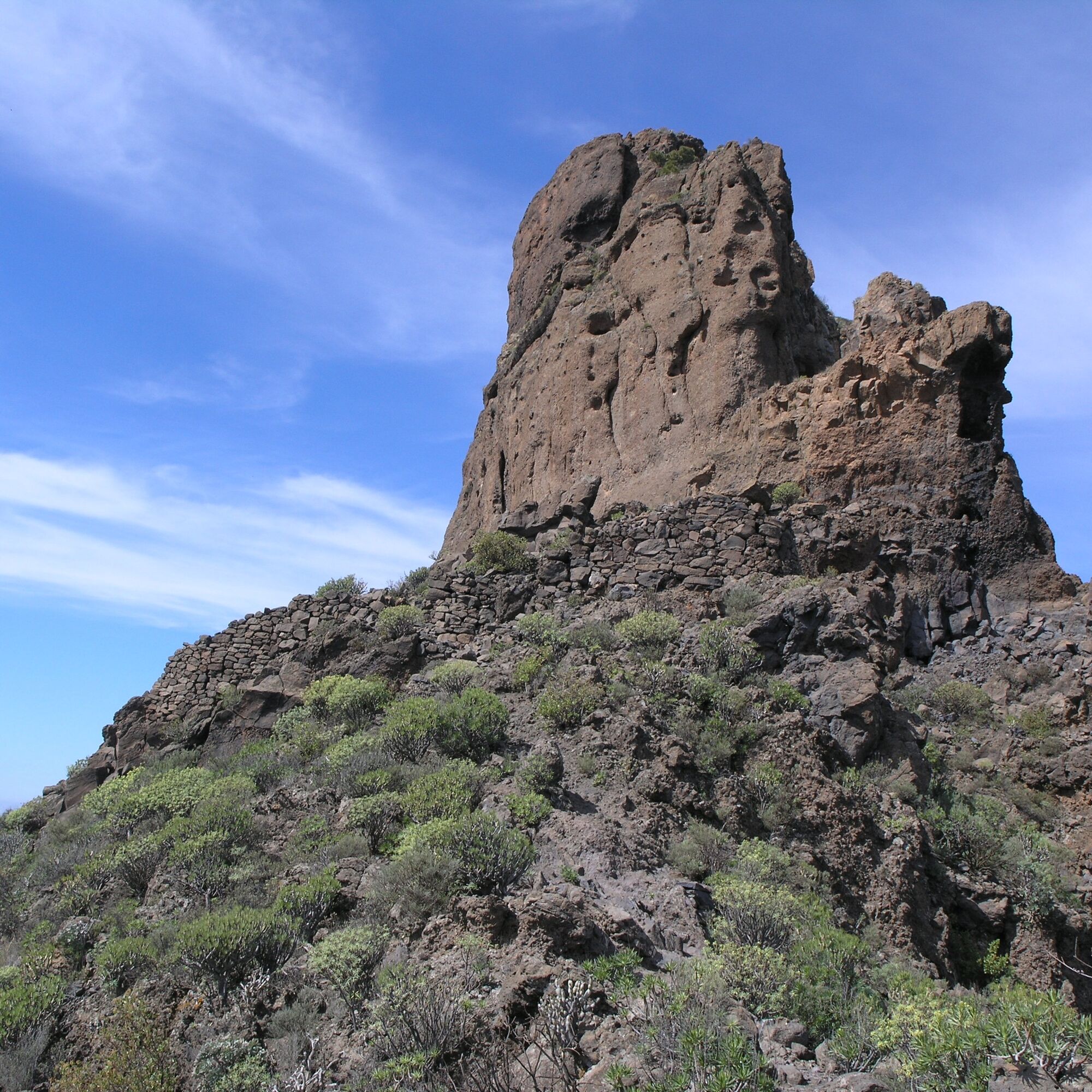
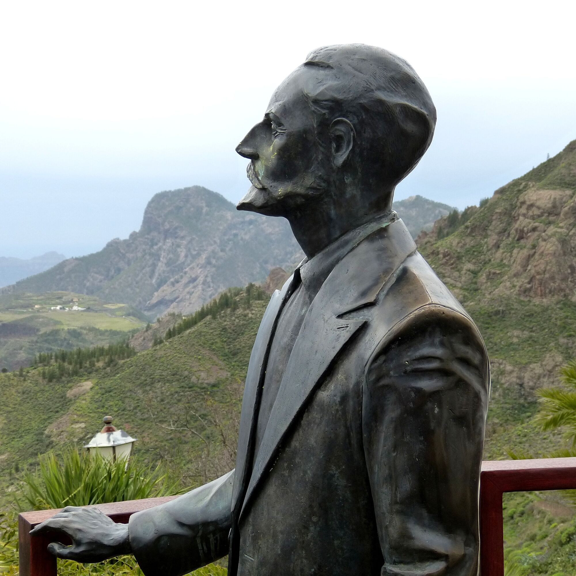
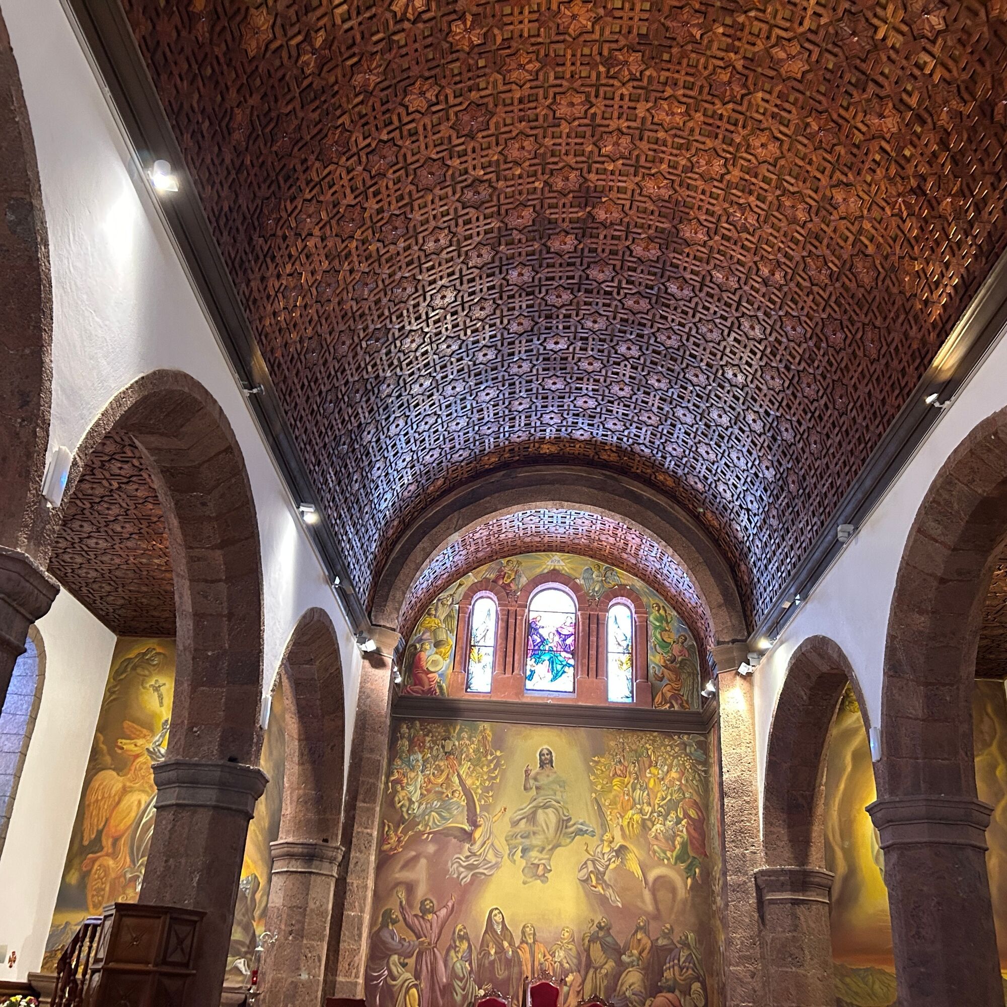
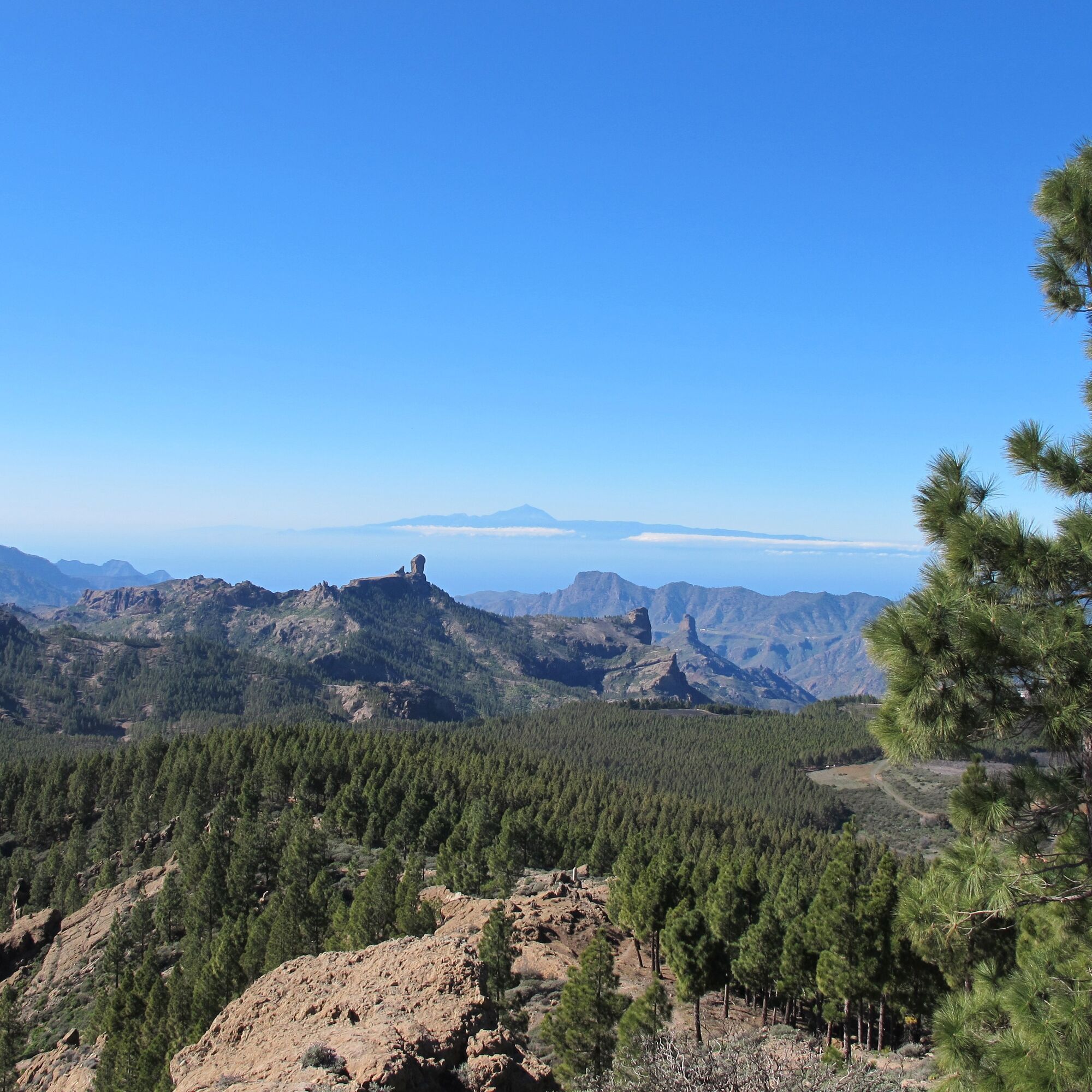
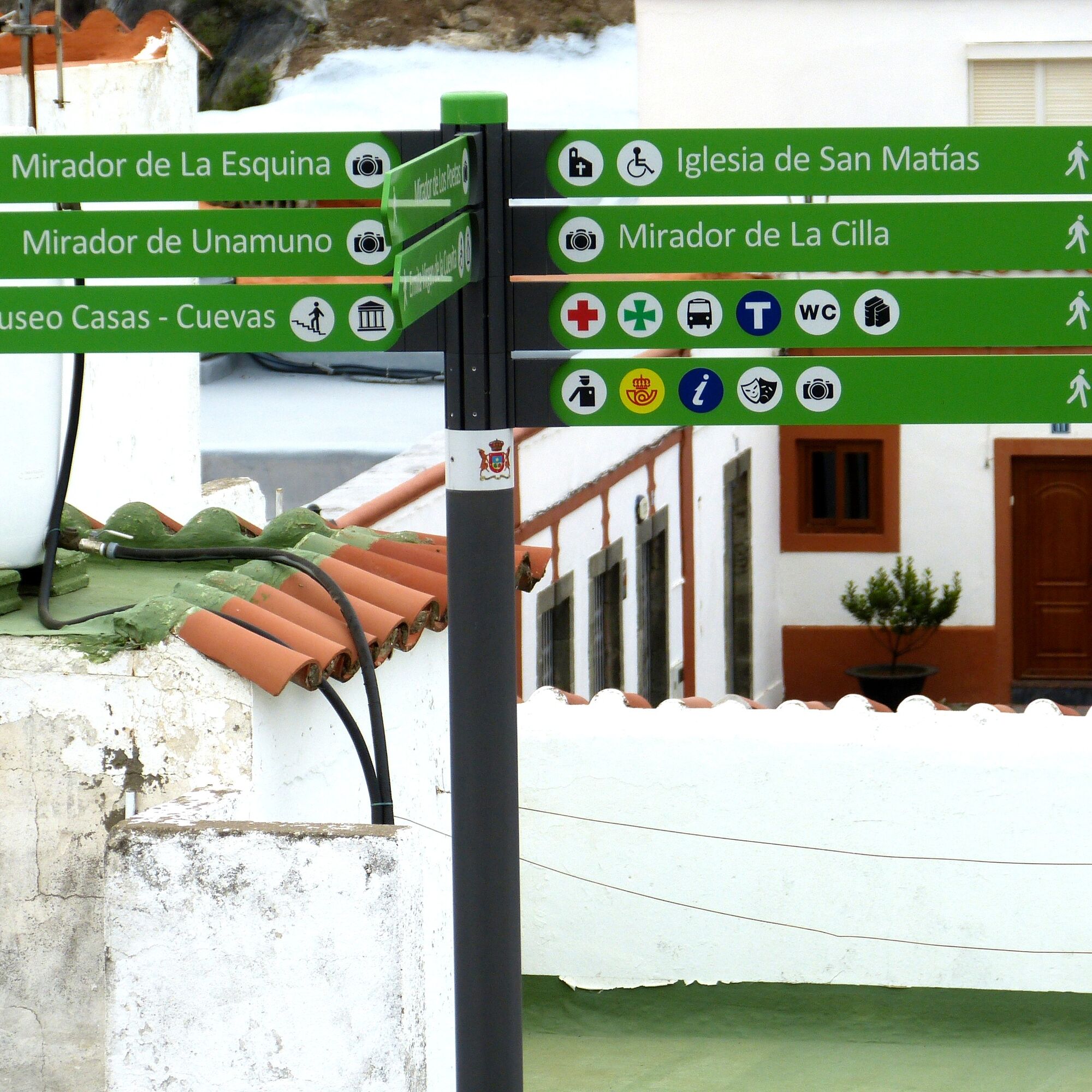
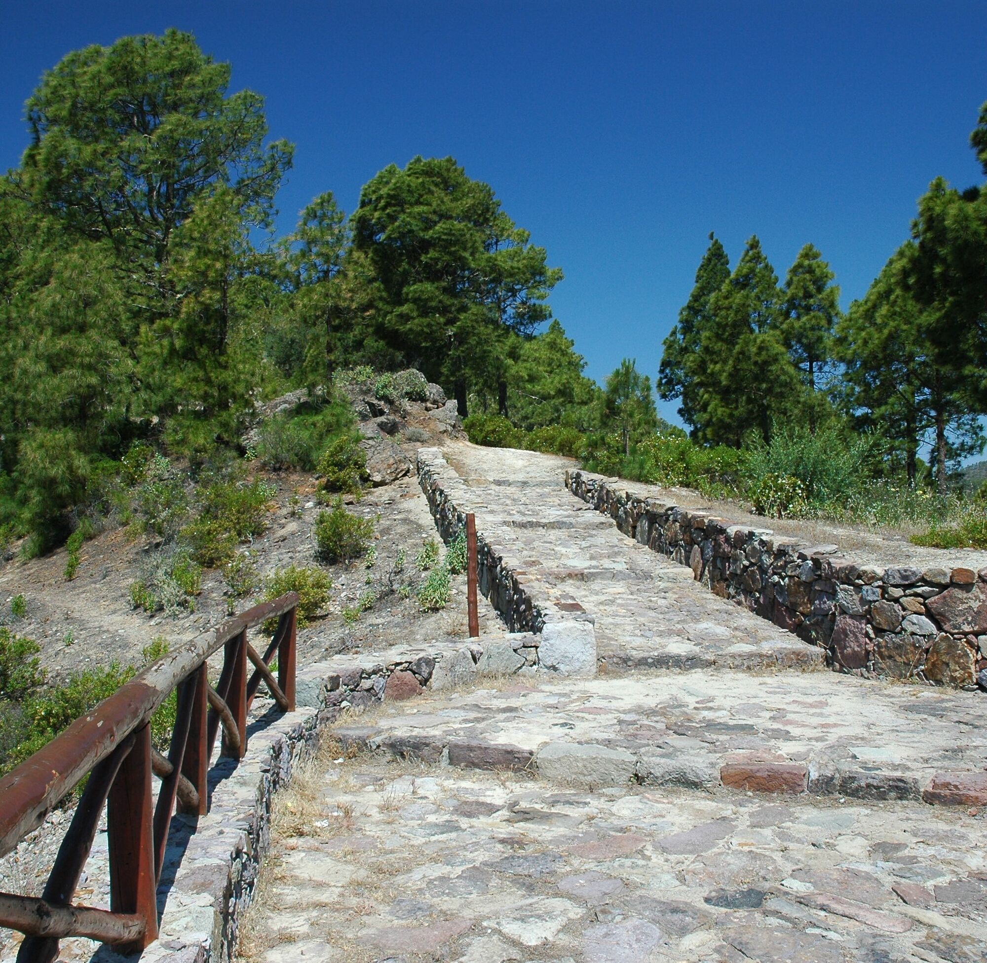

Iglesia de San Matiás - Artenara - Mirador de Unamuno - Museo Etnográfico Casas Cuevas (Artenara - Museo Etnográfico Casas Cuevas - The Museum of the Cave Houses - Mirador de la Esquina - Mirador de Unamuno - Mirador de los Poetas - Ermita Virgen de la Cuevita - Montaña de Artenara).hlen Häuser) - Mirador de la Esquina - Mirador de Unamuno - Mirador de los Poetas - Ermita Virgen de la Cuevita - Montaña de Artenara
Tak
The municipal administration provides this information for the convenience of the users of these pages. It does not in any way imply the current state of the routes, the offer, the quality, the owners of the zones through which they pass, etc. Furthermore, the municipal administration accepts no responsibility for any errors, omissions or poor orientation that may occur as a result of an oversight by the users of these texts.
z. e.g.: from Maspalomas - Route Google Maps
Follow GC-1 to GC-191 in Ingenio, take exit 18 on GC-1 Take GC-120, GC-130 and GC-150 to GC-15 in Cruz de Tejeda Follow GC-15 to Artenara Follow GC-215 to the destinationz. e.g.: from Las Palmas - Google Maps route
From Av. Ansite and Calle Dr. Manuel Pescador Sánchez take GC-23 Follow GC-23 to the destination in ArtenaraStops
ArtenaraConnections:
There are bus lines that go directly to Artenara, such as line 220 from Teror or other connections from Las Palmas.
Centro de Interpretación del Paisaje Cultural de Risco Caído y Montañas Sagradas
Mirador de Unamuno
Cuevas de Caballero
Roque Bentayga
T2
Be considerate of the environment. Carry your ID and documentation, water and warm clothing. Do not throw away cigarette butts and avoid lighting fires. Do not pick plants, animals or other natural elements. Avoid noise and respect the peace and quiet. Hike in company on the existing hiking trails Remember that you are hiking at your own risk.
Popularne wycieczki w okolicy
- 4,7
Roque Nublo from all sides
średniWędrówka 6,10 km - 5,0
Roque Nublo, Gran Canaria, Spanien
światłoWycieczki górskie 1,50 km - 4,8
Rundtour auf den höchsten Gipfel Gran Canarias (1.954m)
światłoWędrówka 7,41 km - 5,0
Pico de las Nieves und Roque Nublo
średniWędrówka 15,5 km - 5,0
Roque Nublo Panoramatour by Wilson Holz
światłoWędrówka 10,1 km - 4,5
Zu den Höhlen des Herren, Cruz de Tejeda nach Cuevas del Caballero, Gran Canaria
średniWędrówka 7,01 km - 4,0
Sehr schöne Runde durch das Tal von Agaete
światłoWędrówka 6,98 km - 4,0
Eindrucksvolle Tour von Soria ausgehend
średniWędrówka 9,56 km Pico de Nieves, Gran Canaria
średniWycieczki górskie 5,20 kmGran Canaria - island holiday under palm trees with panoramic roads
średniMotorrad 115,7 km
Wędrówki i tropienie


Nie przegap ofert i inspiracji na następne wakacje
Twój adres e-mail została dodana do listy mailingowej.





