


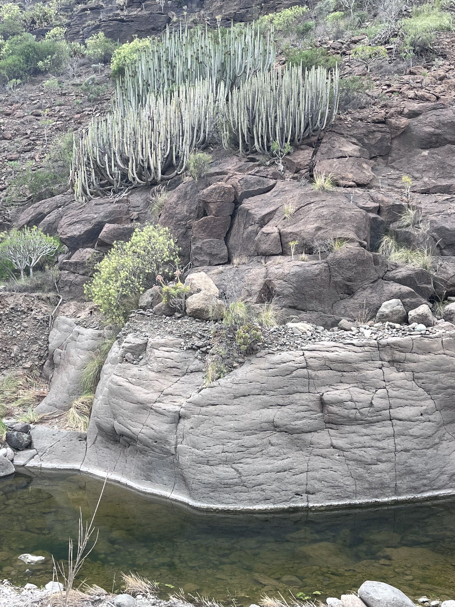
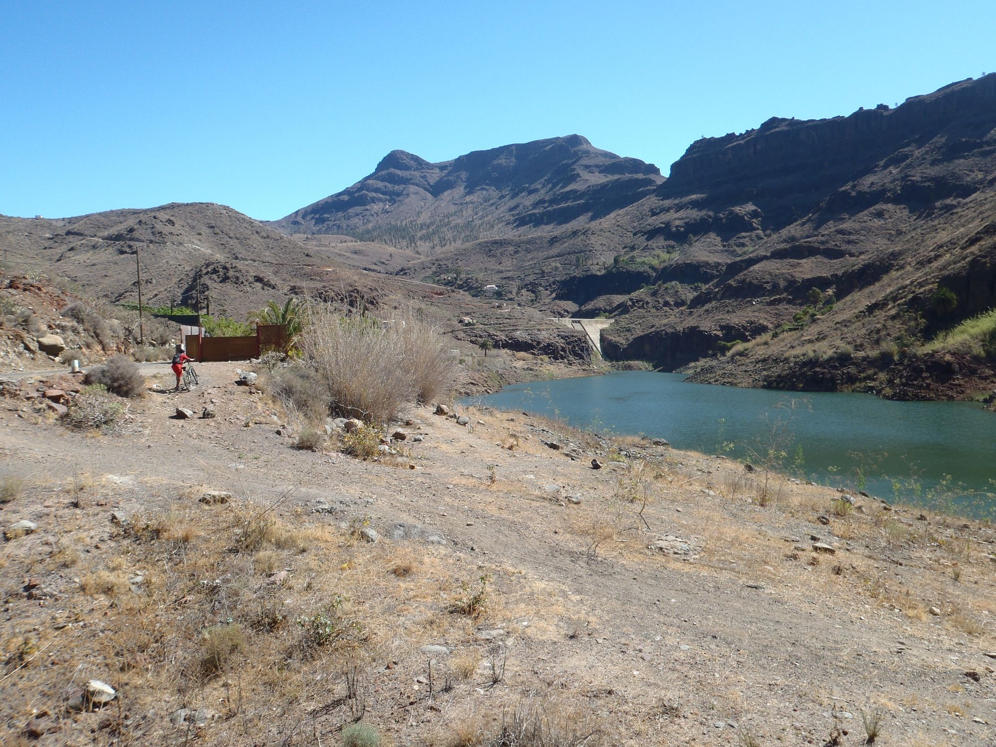
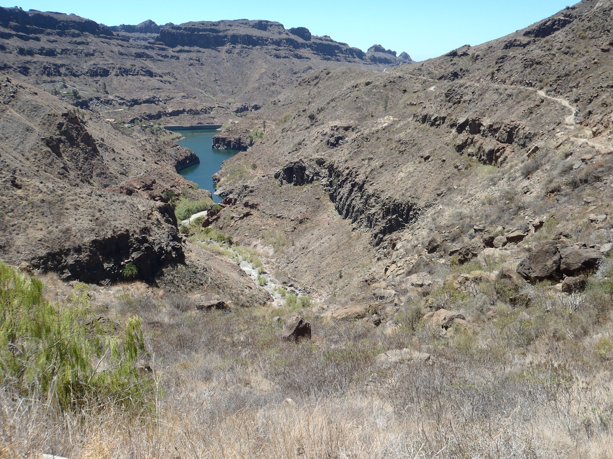
Ayagaures-Stausee
Die an sich einfachste MTB-Tour von Maspalomas / Playa del Ingles, deshalb hier nur ein paar Anmerkungen: Leichte Anfahrt auf Aspalt, erst kurz vom Staudamm steil. Ein paar Raststätten dort. Der Abstecher...
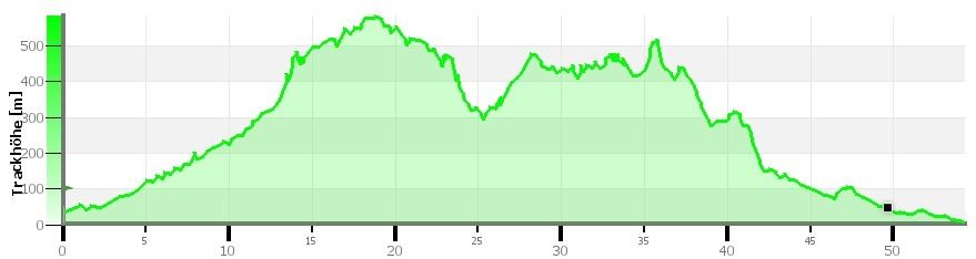
Die an sich einfachste MTB-Tour von Maspalomas / Playa del Ingles, deshalb hier nur ein paar Anmerkungen:
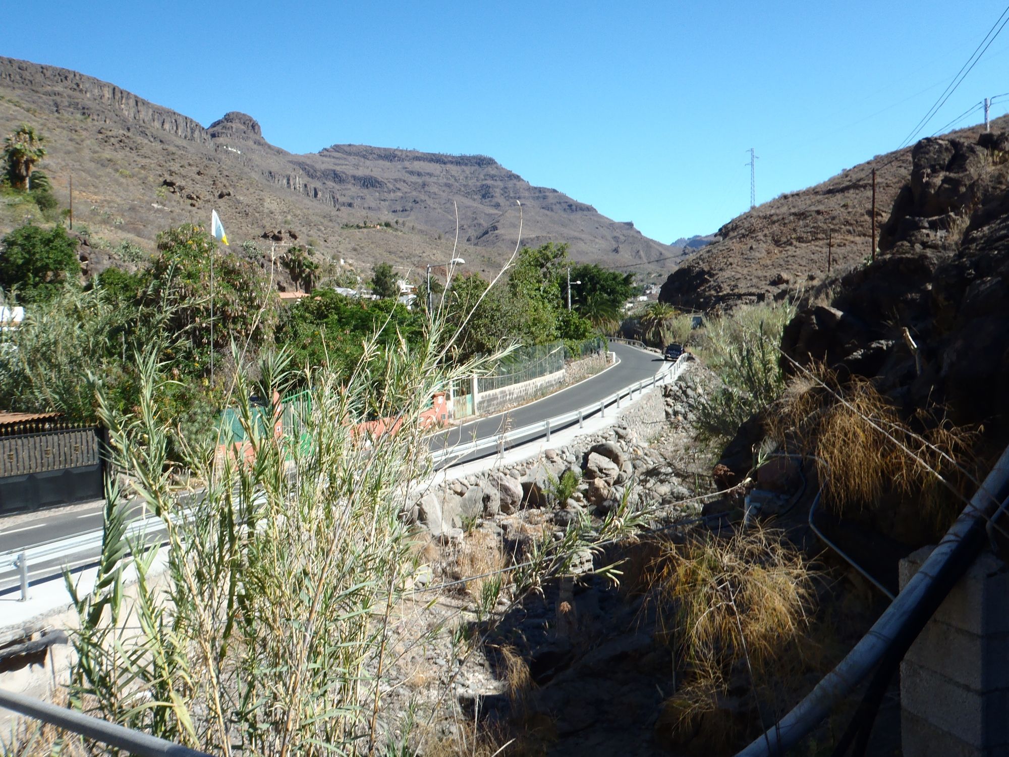
Leichte Anfahrt auf Aspalt, erst kurz vom Staudamm steil. Ein paar Raststätten dort.
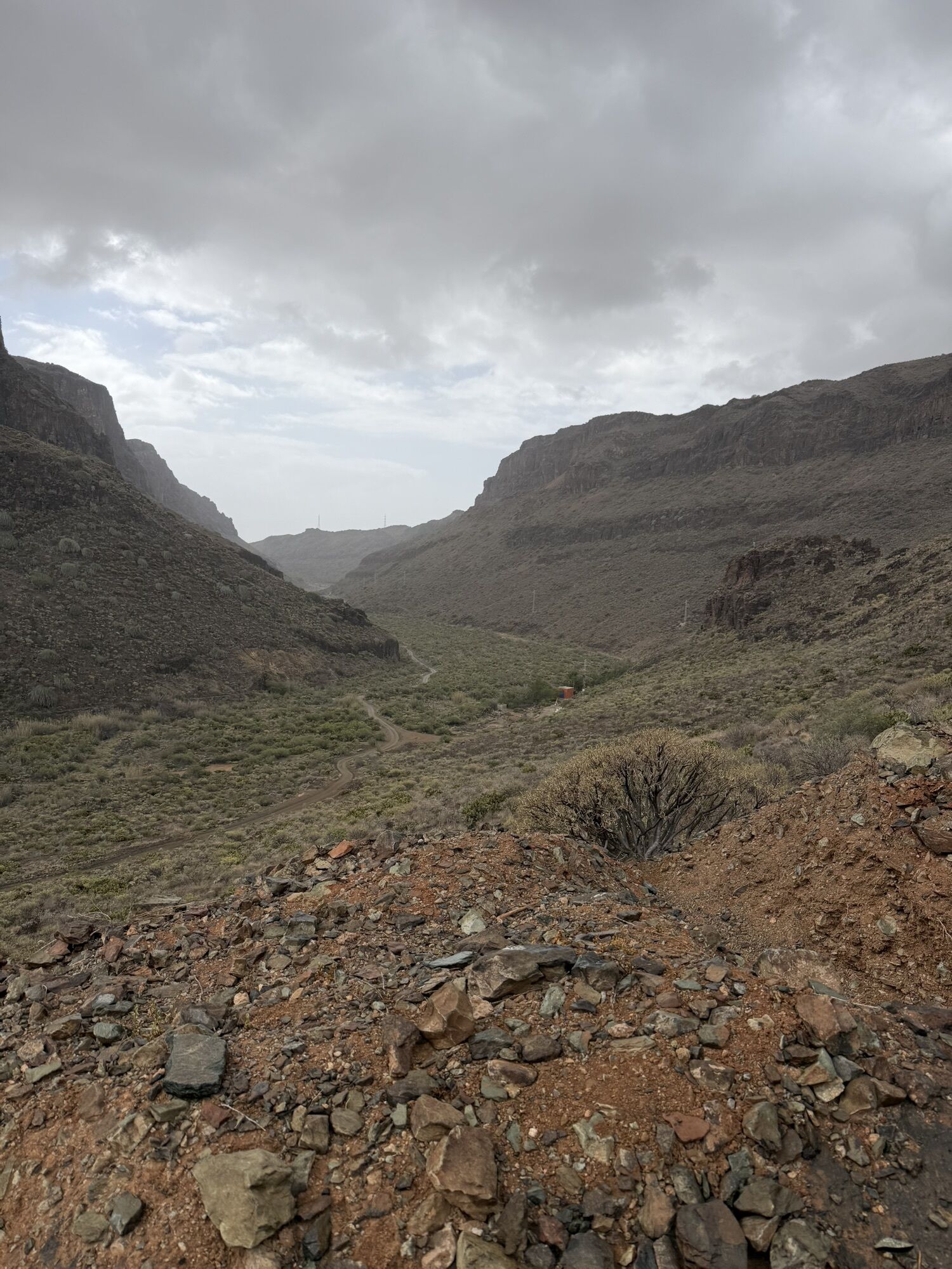
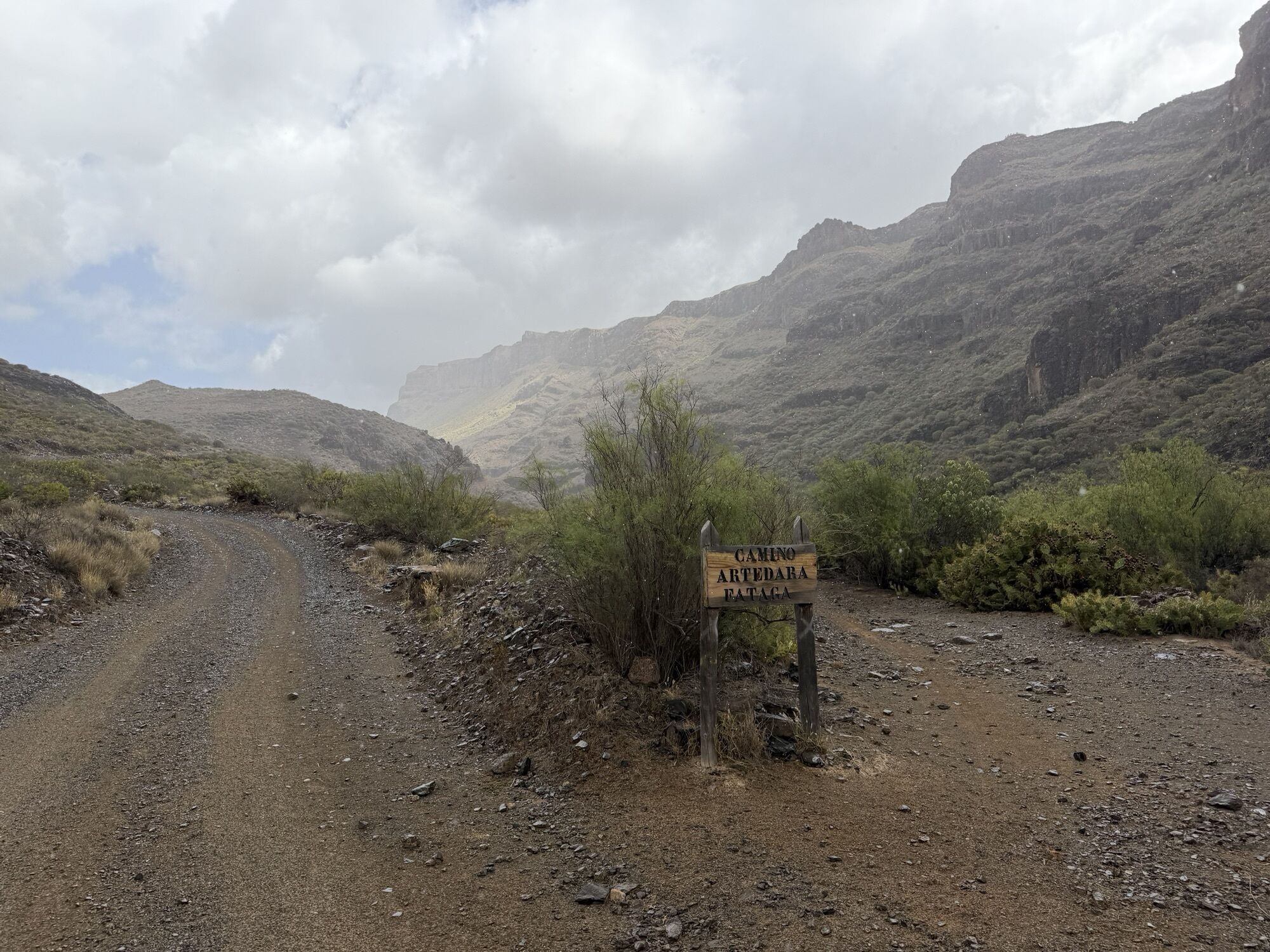
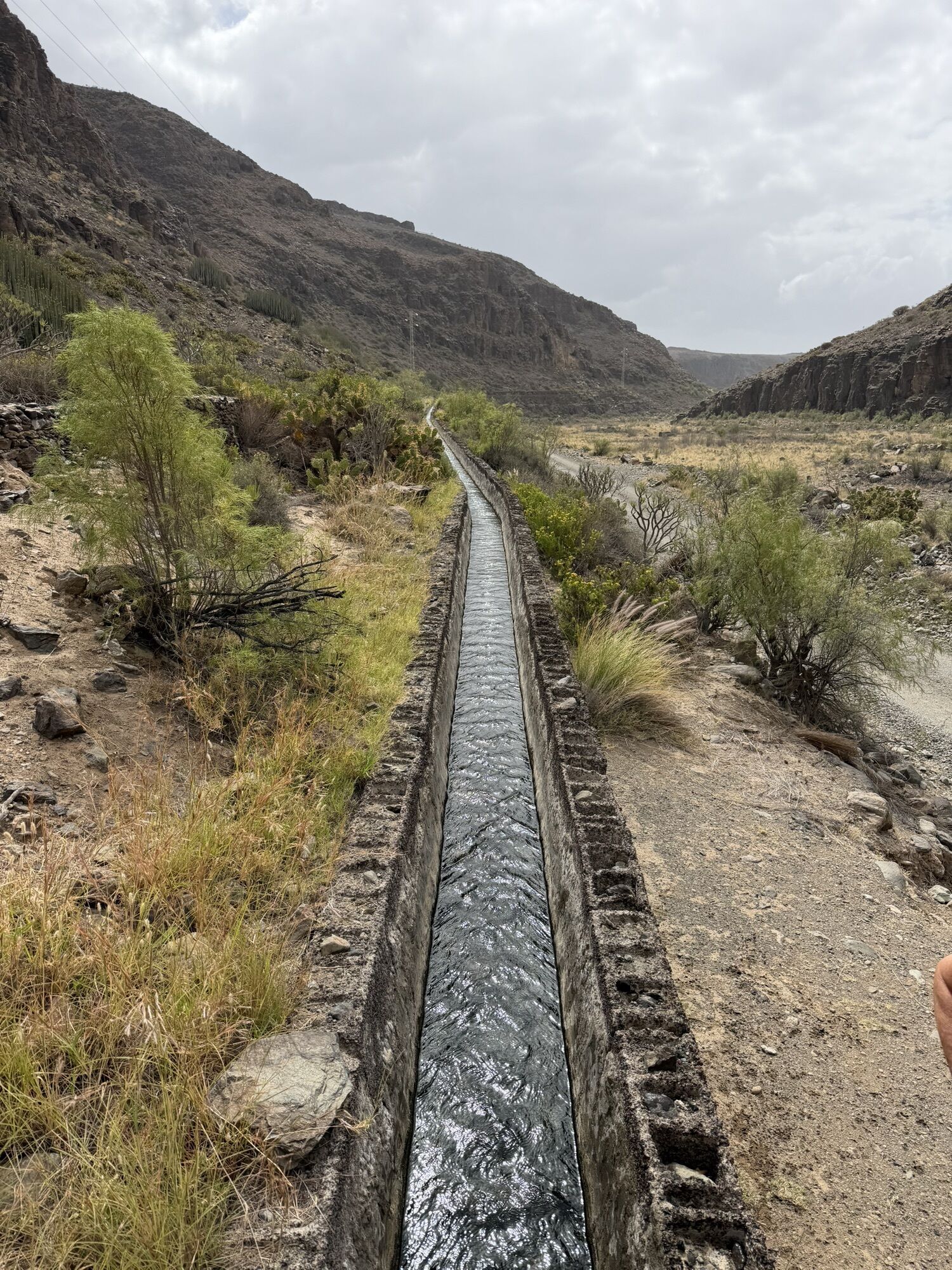
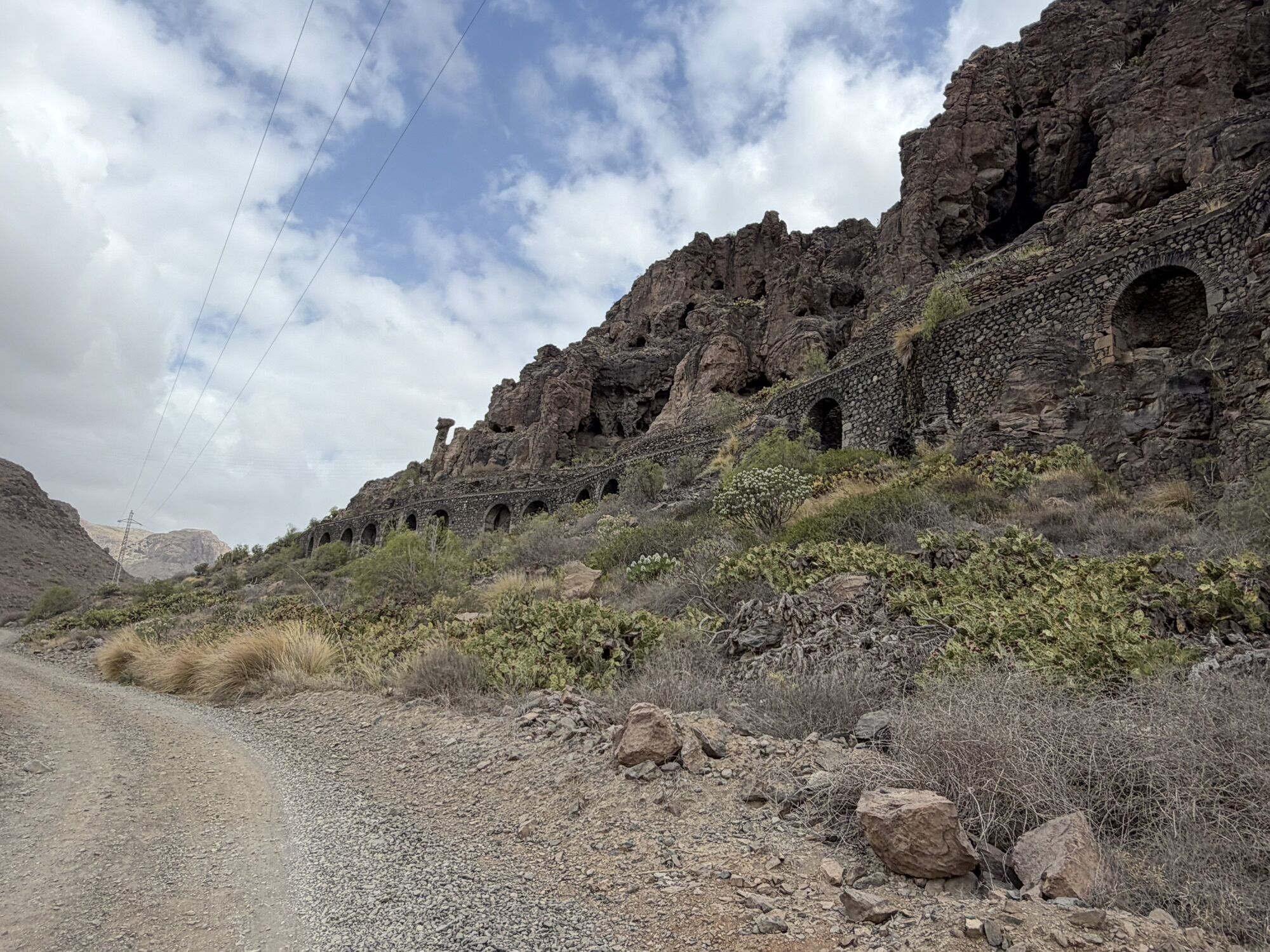
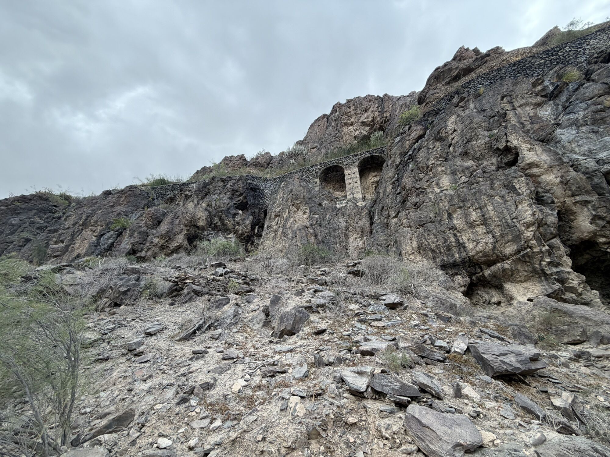
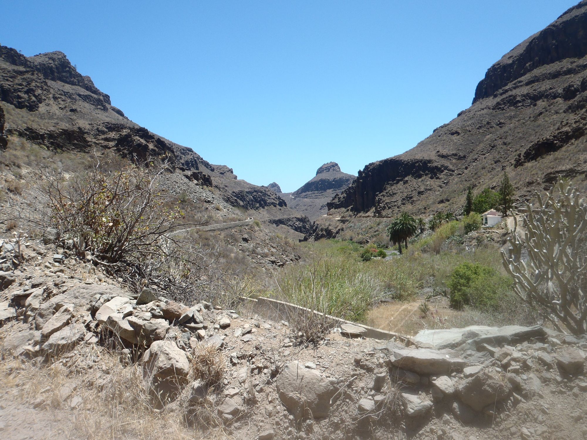
Der Abstecher von Ayagaures nach Norden ist lohnenswert. Umkehr beim Schranken (der Weg hört bald nach dem Schranken am Talende auf).
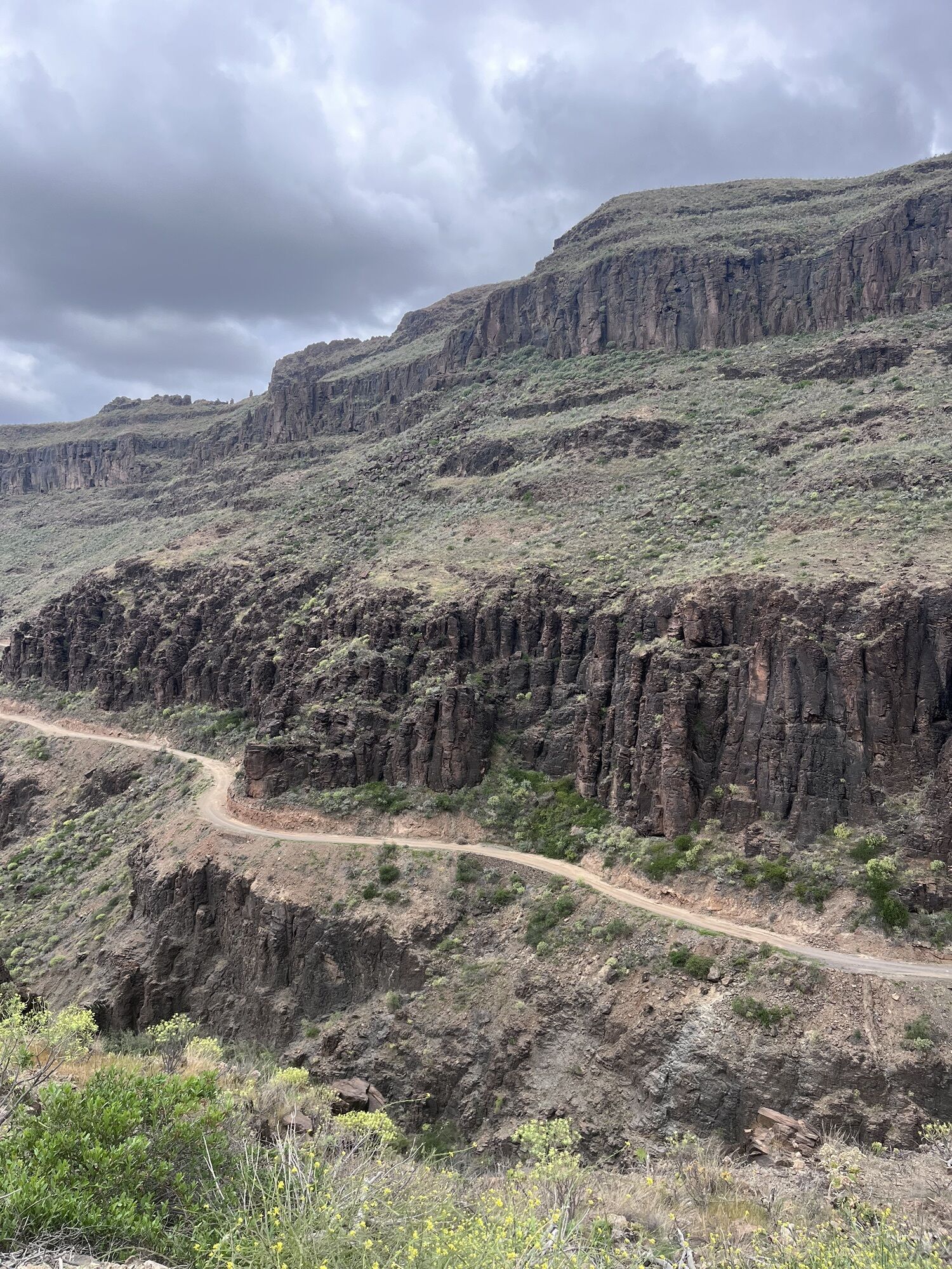
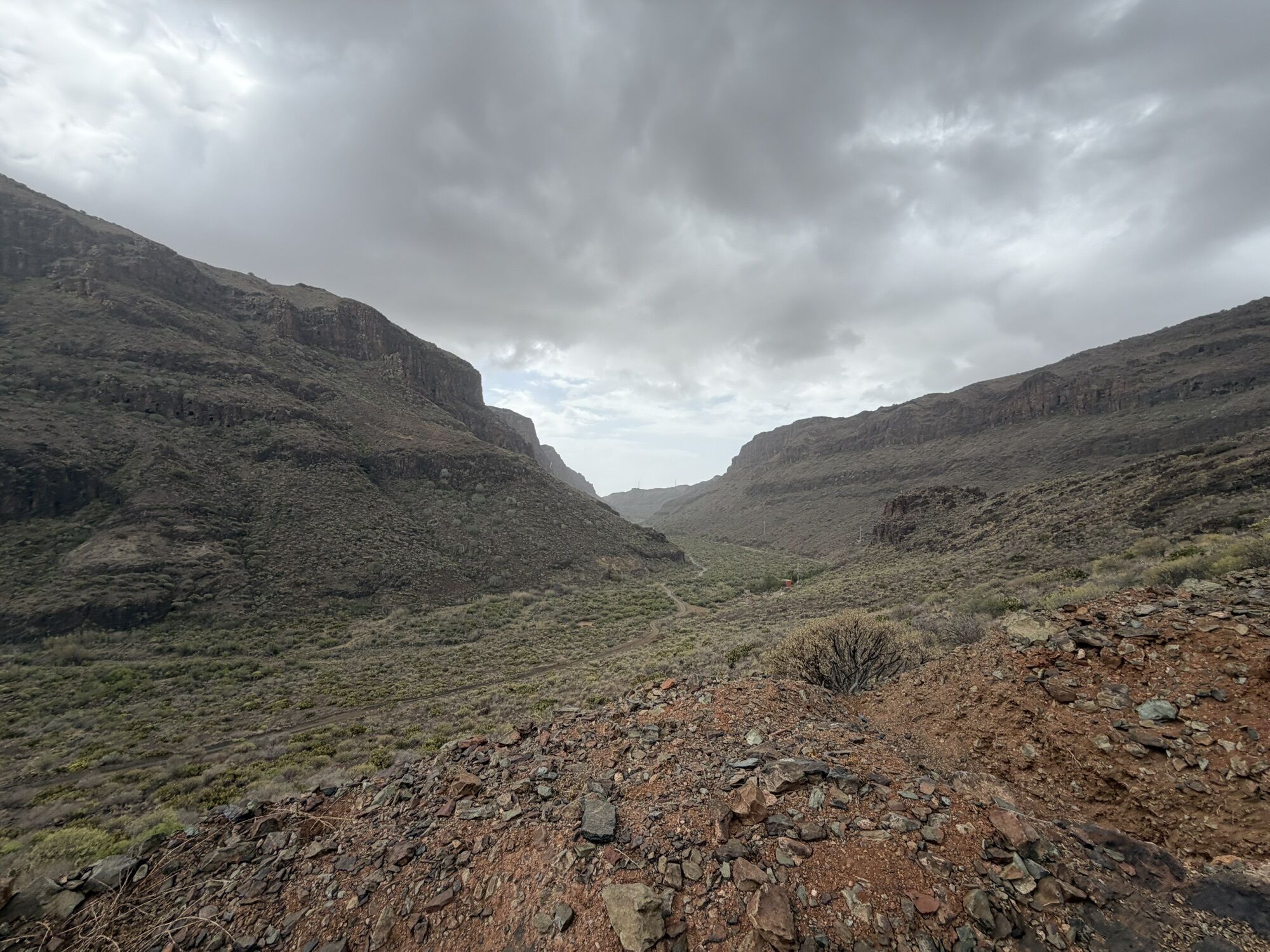
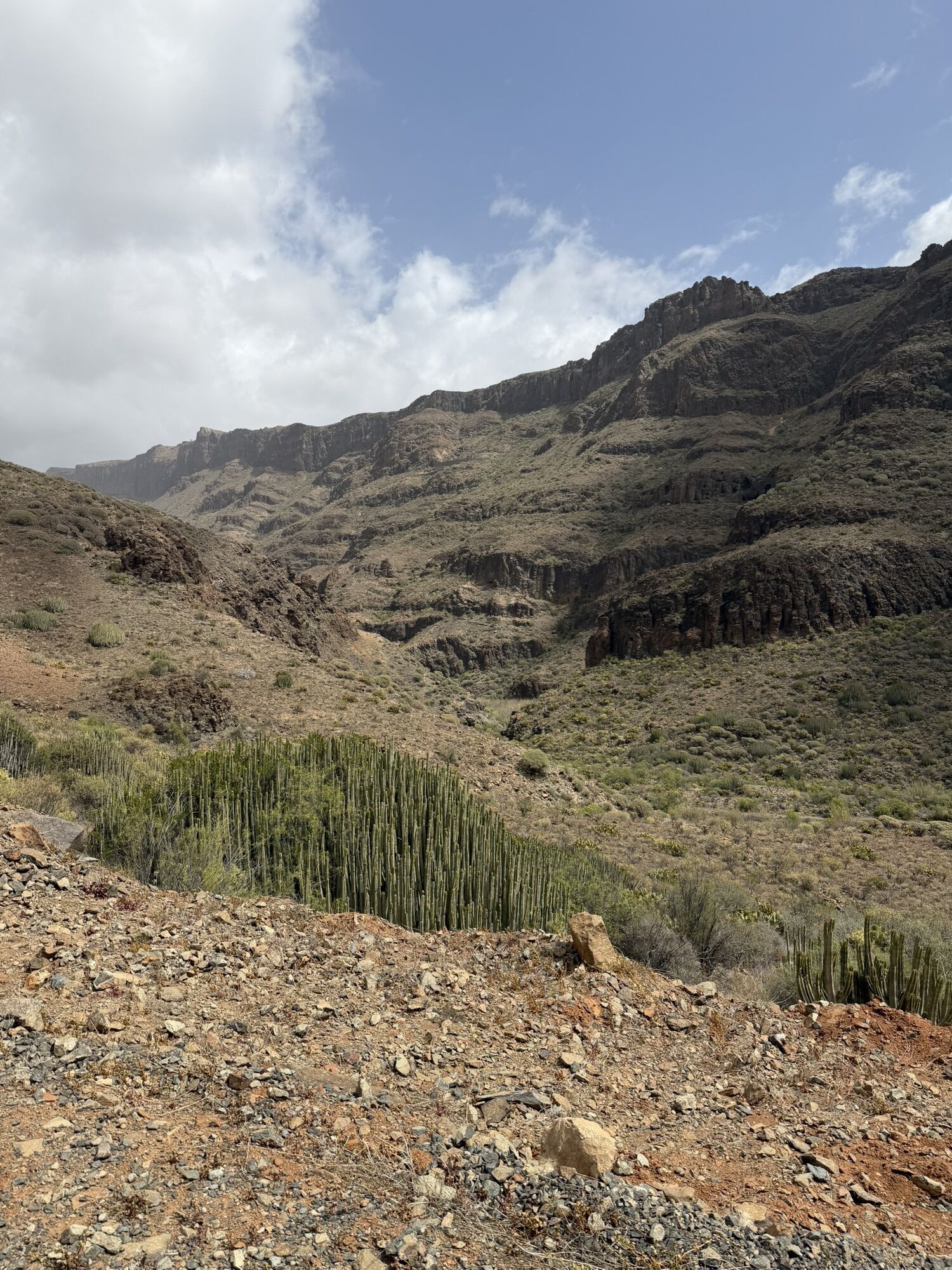
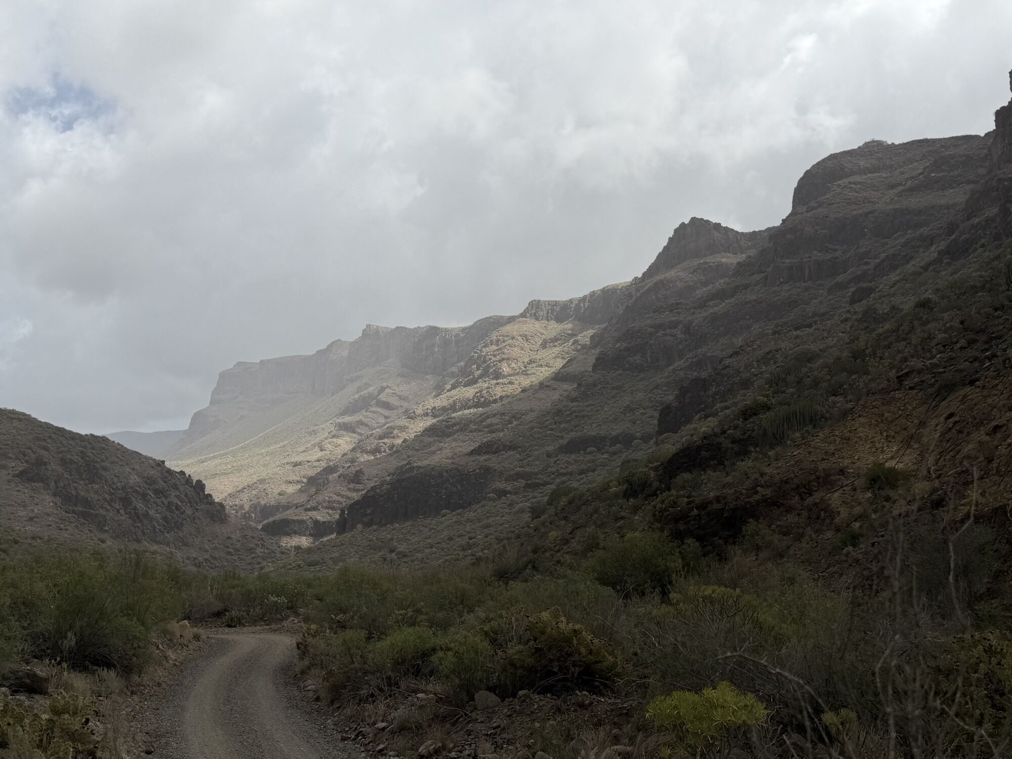
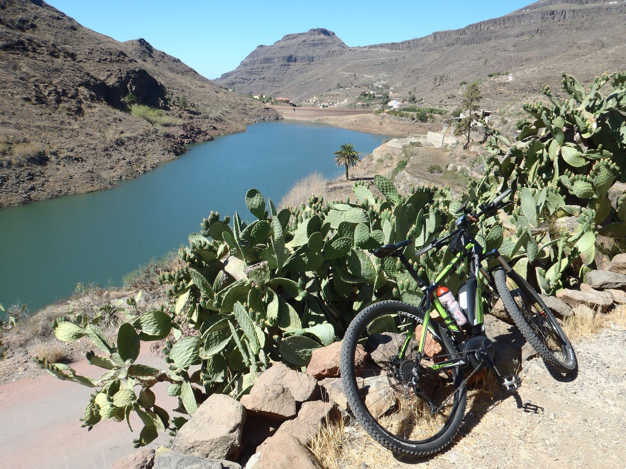
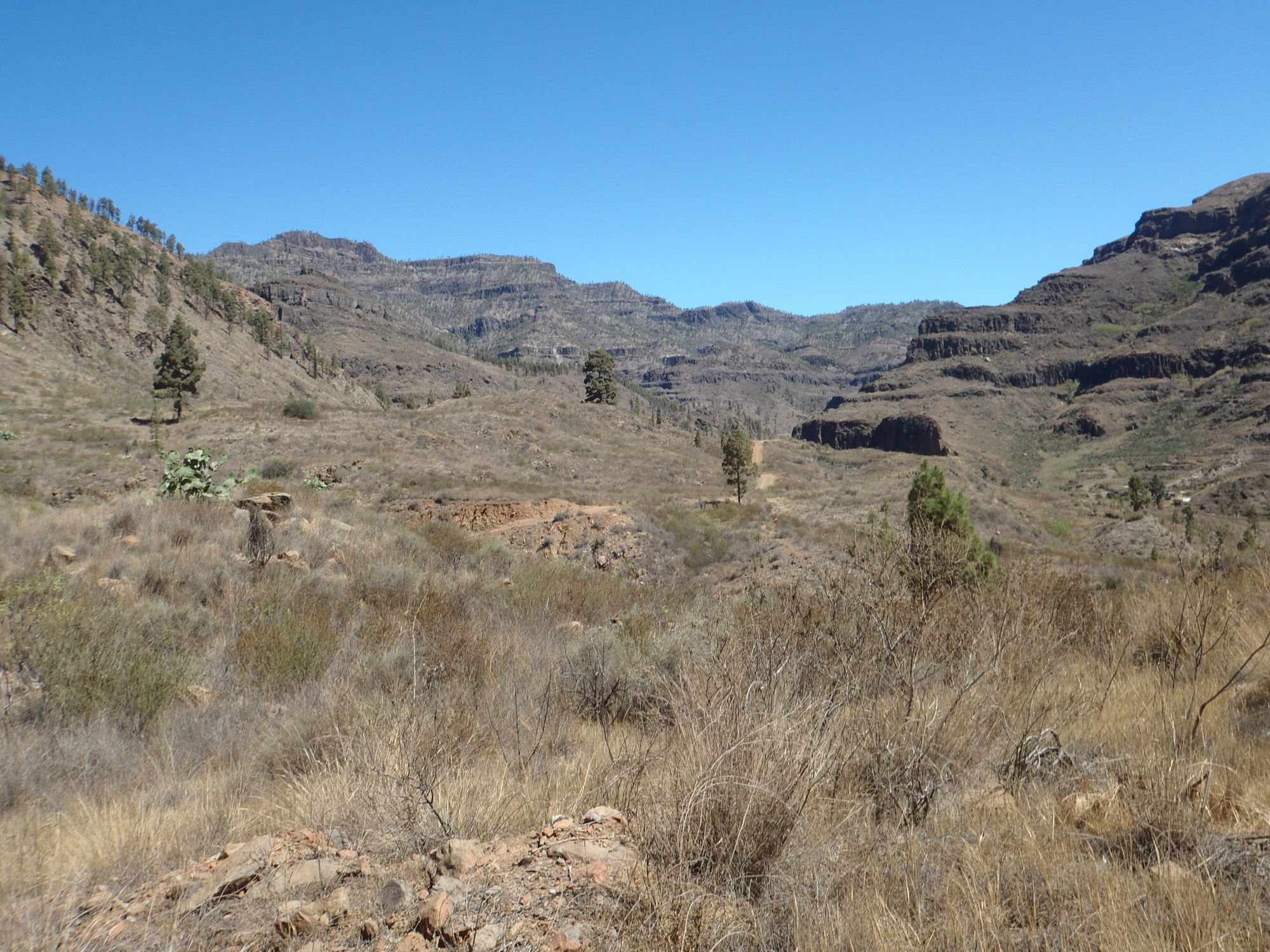
Die Fahrt über den Staudamm und rund um die Canyons über den Adlerpass ist der Höhepunkt der Tour. Man sollte ihn bis späten Mittag angehen, da die Tour doch sehr lang ist und es keinen Schatten gibt.
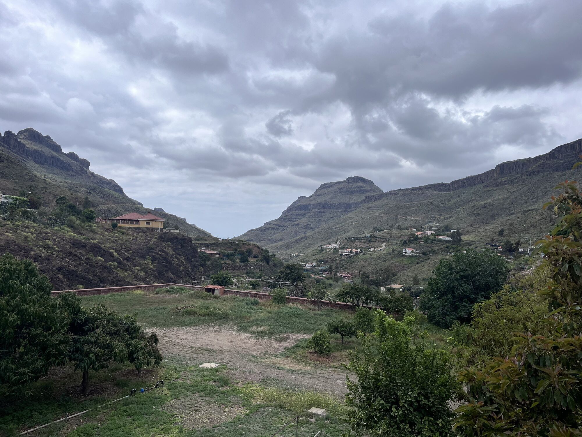
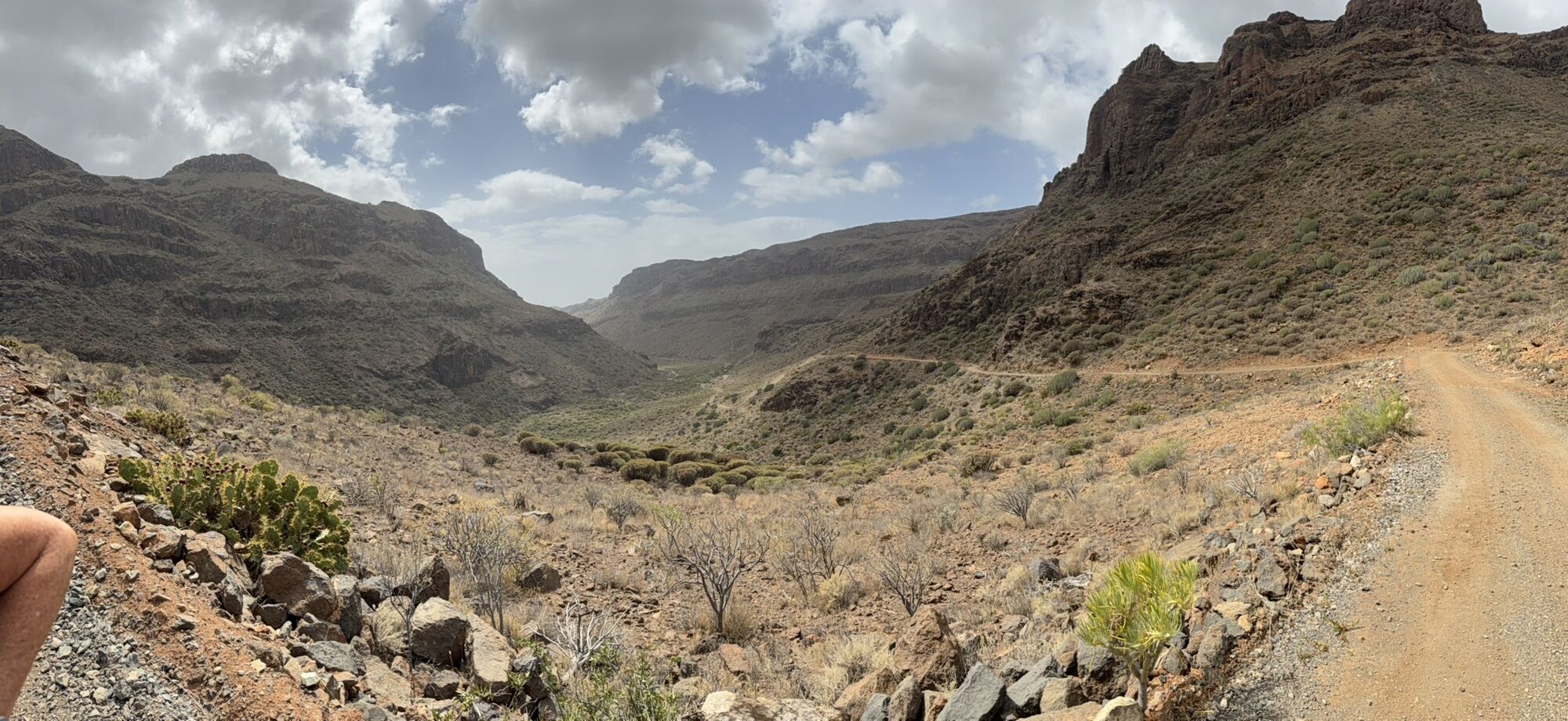
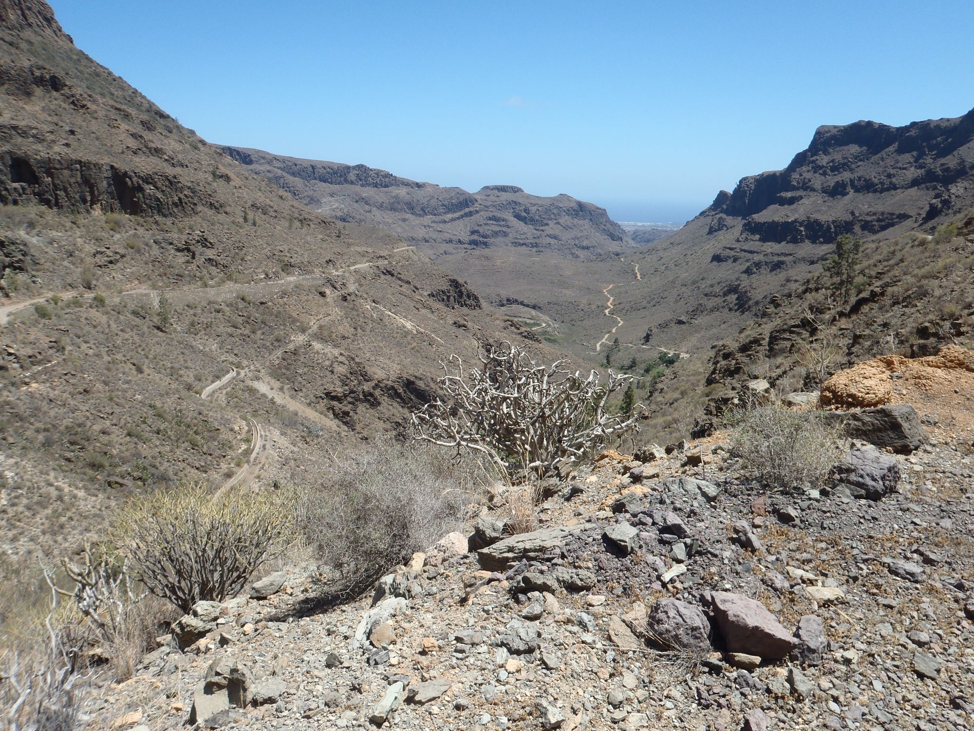
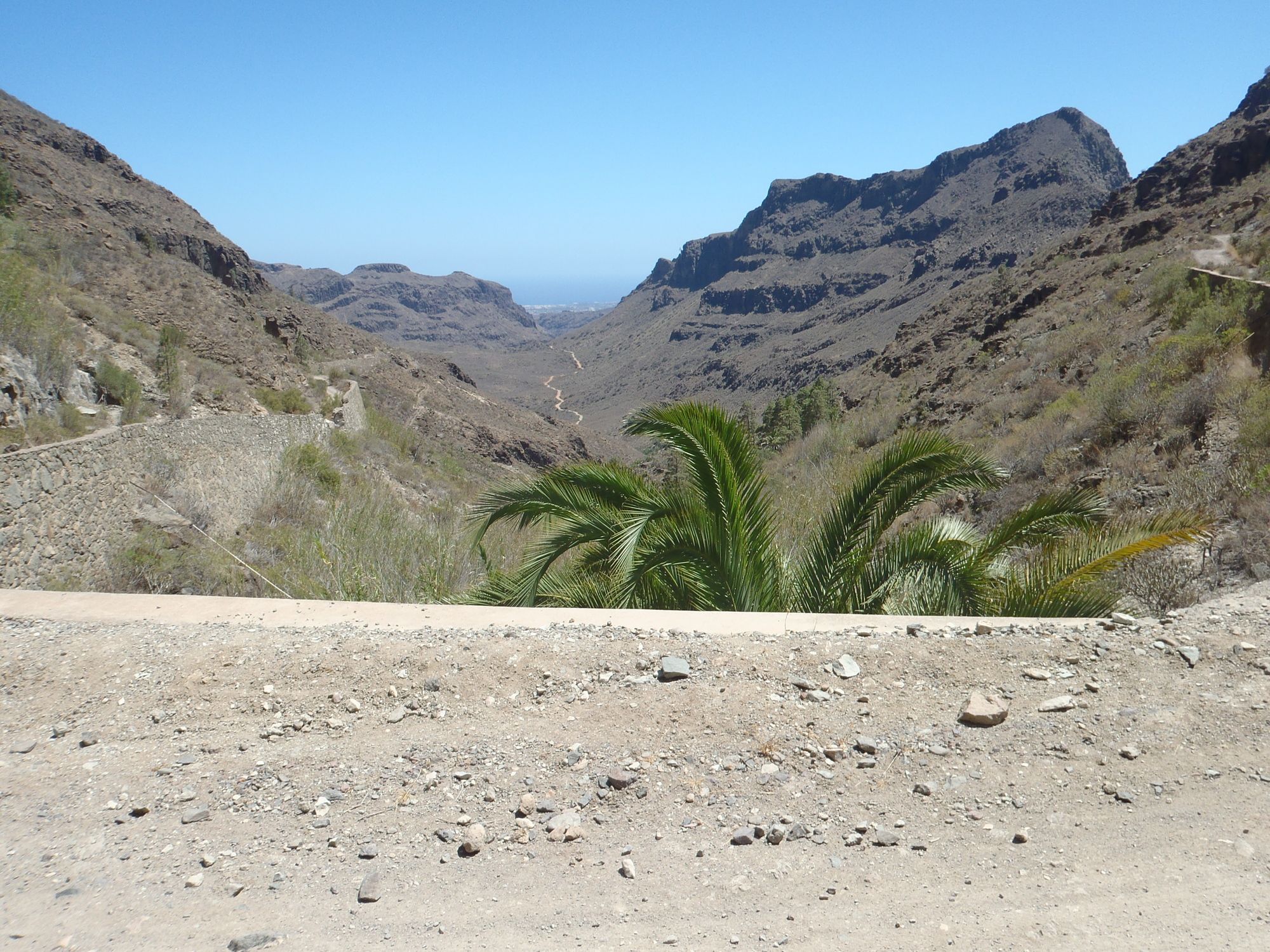
Die Fahrt nach Süden durch das Fataga-Tal nach Maspalomas zurück ist sehr steinig und holprig. Ein Fully sehr zu empfehlen.
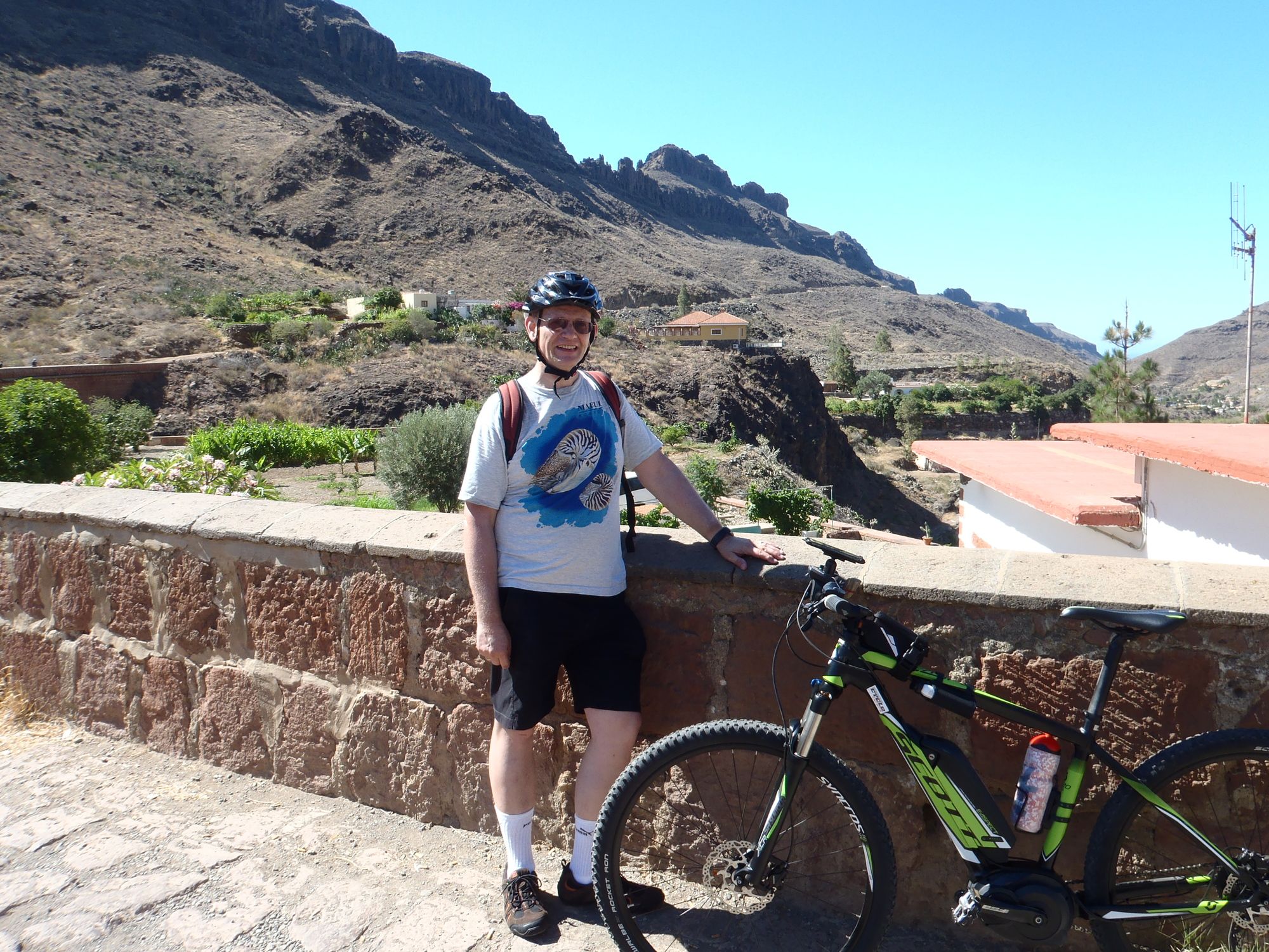
(Tour am 07.07.2014 gefahren.)
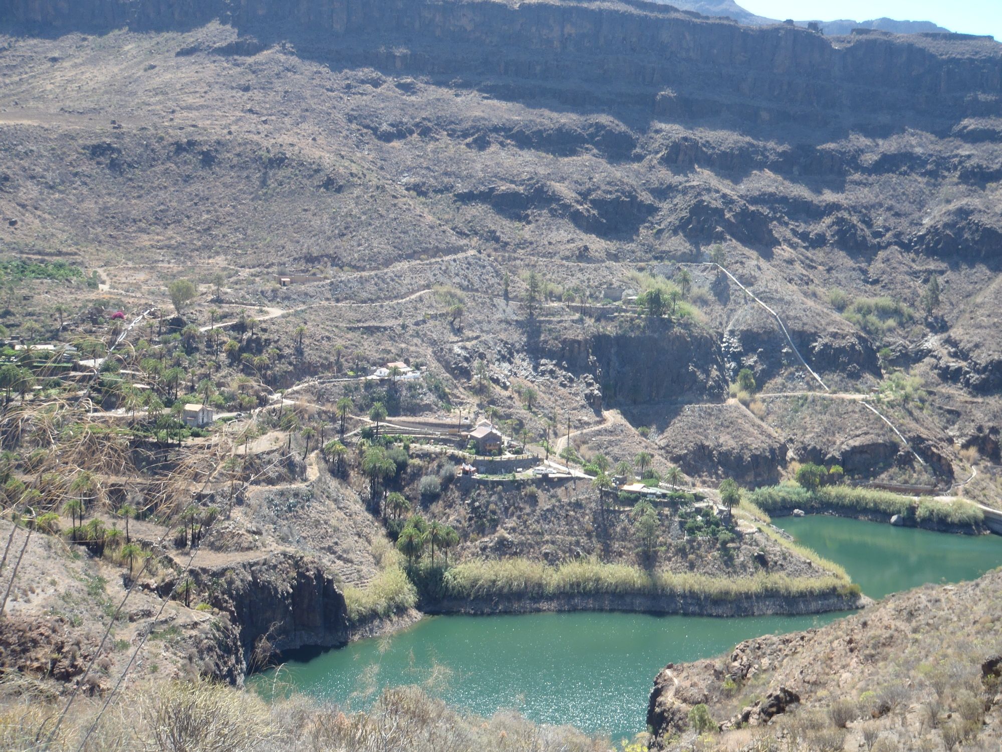
Famlien können den Abstecher von der Staumauer nach Norden auslassen.
Lokale vor dem letzten Anstieg zur Staumauer und knapp vor der Staumauer.
Bike Guide Gran Canaria von Henning Schmalfuß, Bergverlag Rother, Tour 3
Hinweis: Auf der elektronischen Karte ganz rechts oben auf Satellit oder Karte klicken!
Tak
Tak
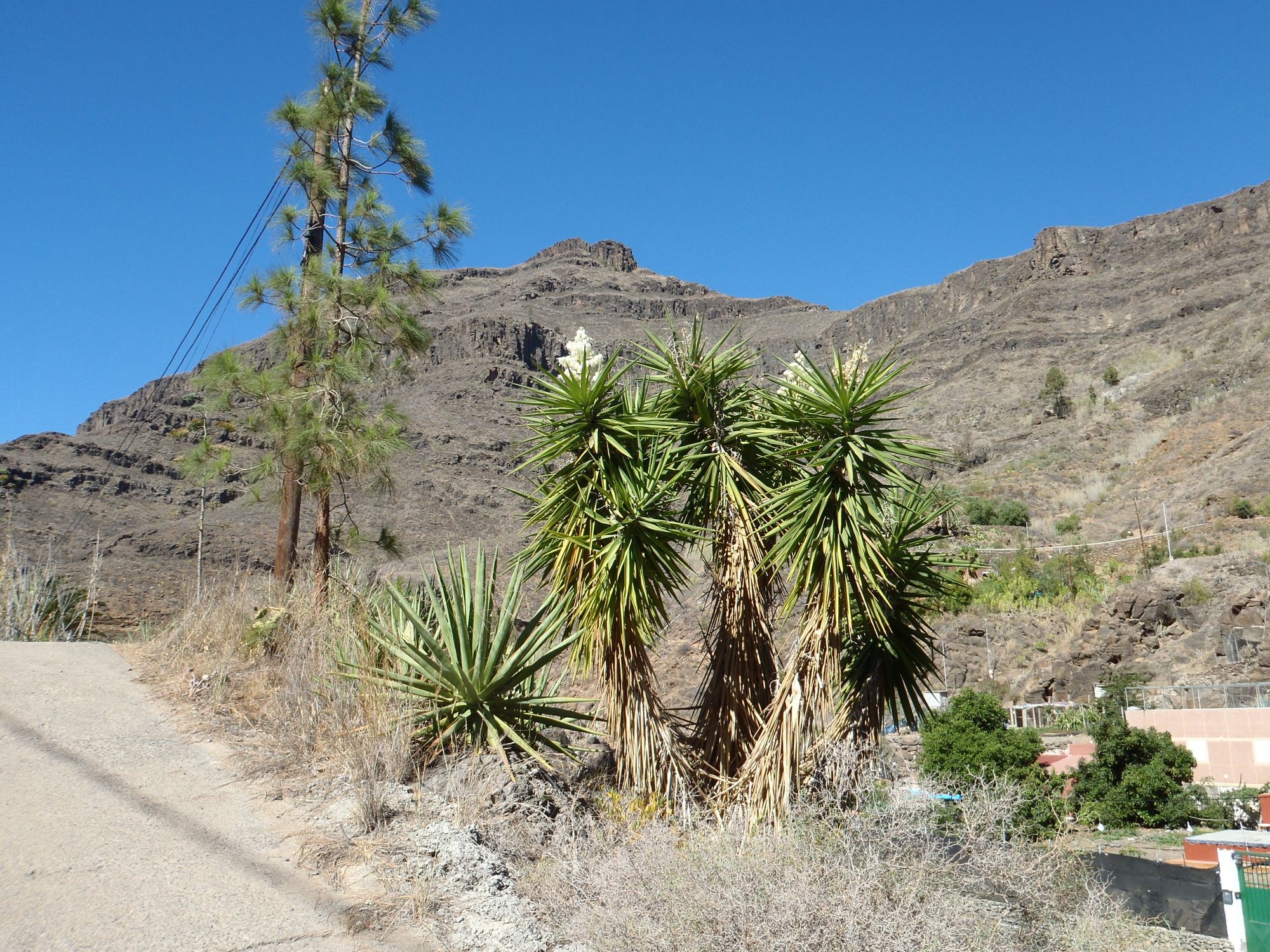
Im Sommer ist der Abstecher und der Adlerpass sehr heiß, da kein Schatten!
Meloneras, Playa del Ingles oder benachbarte Orte
Tak
3/6
3/6
Popularne wycieczki w okolicy
- 5,0
Küstenwalk zum Aussichtspunkt Mirador San Augustin by Wilson Holz
światłoWędrówka 10,8 km - 4,0
Eindrucksvolle Tour von Soria ausgehend
średniWędrówka 9,56 km - 3,0
Arteara: Runde um die Altkanarischen Gräber
światłoWędrówka 6,74 km Gran Canaria - island holiday under palm trees with panoramic roads
średniMotorrad 115,7 km- 3,0
Rundtour zu den Wasserfällen Barranco del Toro by Wilson Holz
światłoWędrówka 9,87 km TIP Trip Gran Canaria 🏝️ Power spot by the sea 💚 Energy trail
średniWędrówka 7,51 kmCruz de Mogan (430m) - zum einzigen Gipfelkreuz Gran Canarias by Wilson Holz
światłoWędrówka 8,99 kmBig Dünenwalk by Wilson Holz
światłoWędrówka 16,5 kmBarranco Guayadeque zur Degollada del Pino Carado
średniWędrówka 9,74 km- 5,0
Von Playa del Ingles zum Aussichtspunkt Dellogada (489m) by Wilson Holz
światłoWędrówka 9,32 km
Wędrówki i tropienie


Nie przegap ofert i inspiracji na następne wakacje
Twój adres e-mail została dodana do listy mailingowej.