






Path of the Lands of the Mediterranean Diet - CORVO HILLS - 4th Stage

Let yourself be caressed by the sunlight that radiates over these coastal hills rich in clay soil, just as the trees and plants do that sparkle like hair on the rocky walls of the "Ripe Rosse" oasis, where...
Let yourself be caressed by the sunlight that radiates over these coastal hills rich in clay soil, just as the trees and plants do that sparkle like hair on the rocky walls of the "Ripe Rosse" oasis, where it is easy to spot buzzards and peregrine falcons in the sky. The intense and fresh scent of the vast Aleppo pine forest will accompany you until you reach the same beach where, until a few decades ago, sailors used to untangle the "libbani", the ancient vegetable ropes made with spart grass or more commonly called "tagliamani"
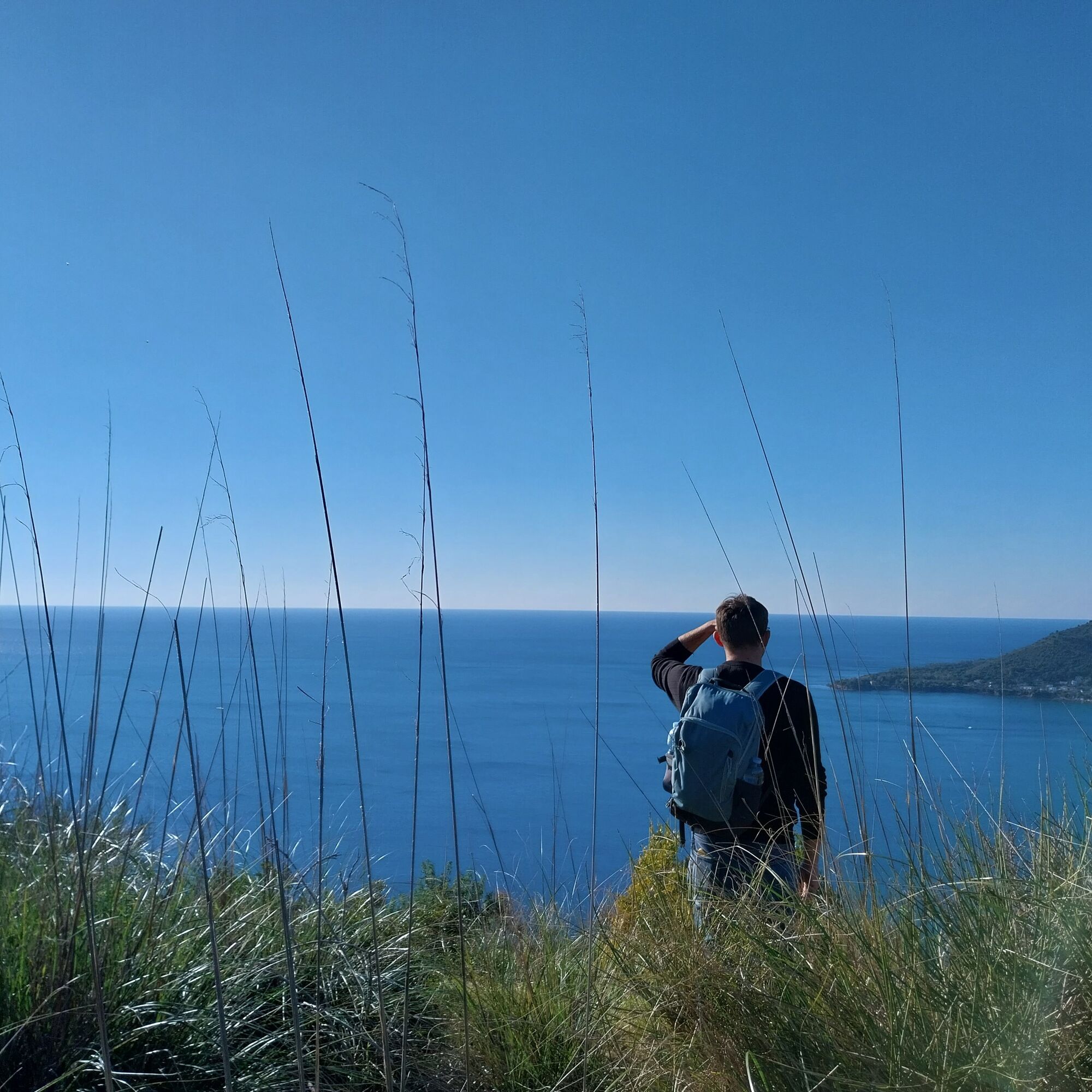
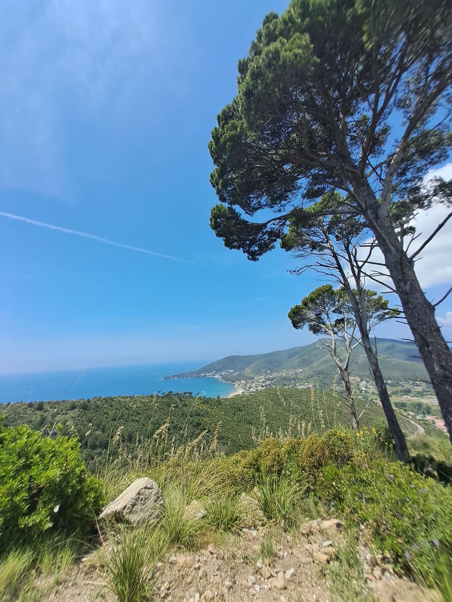
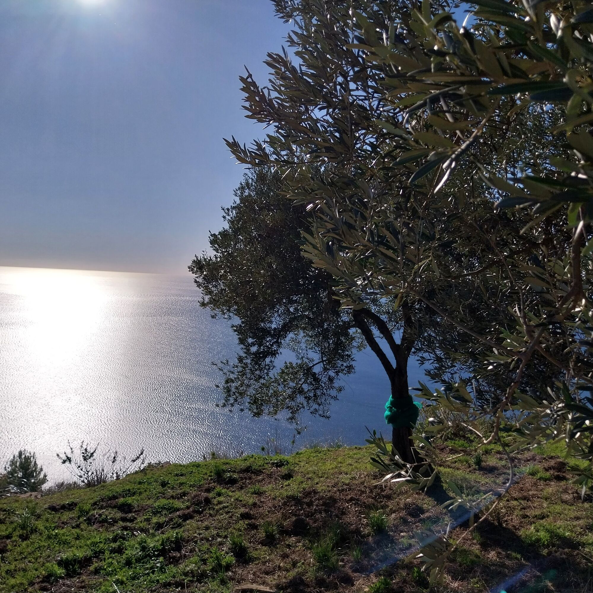
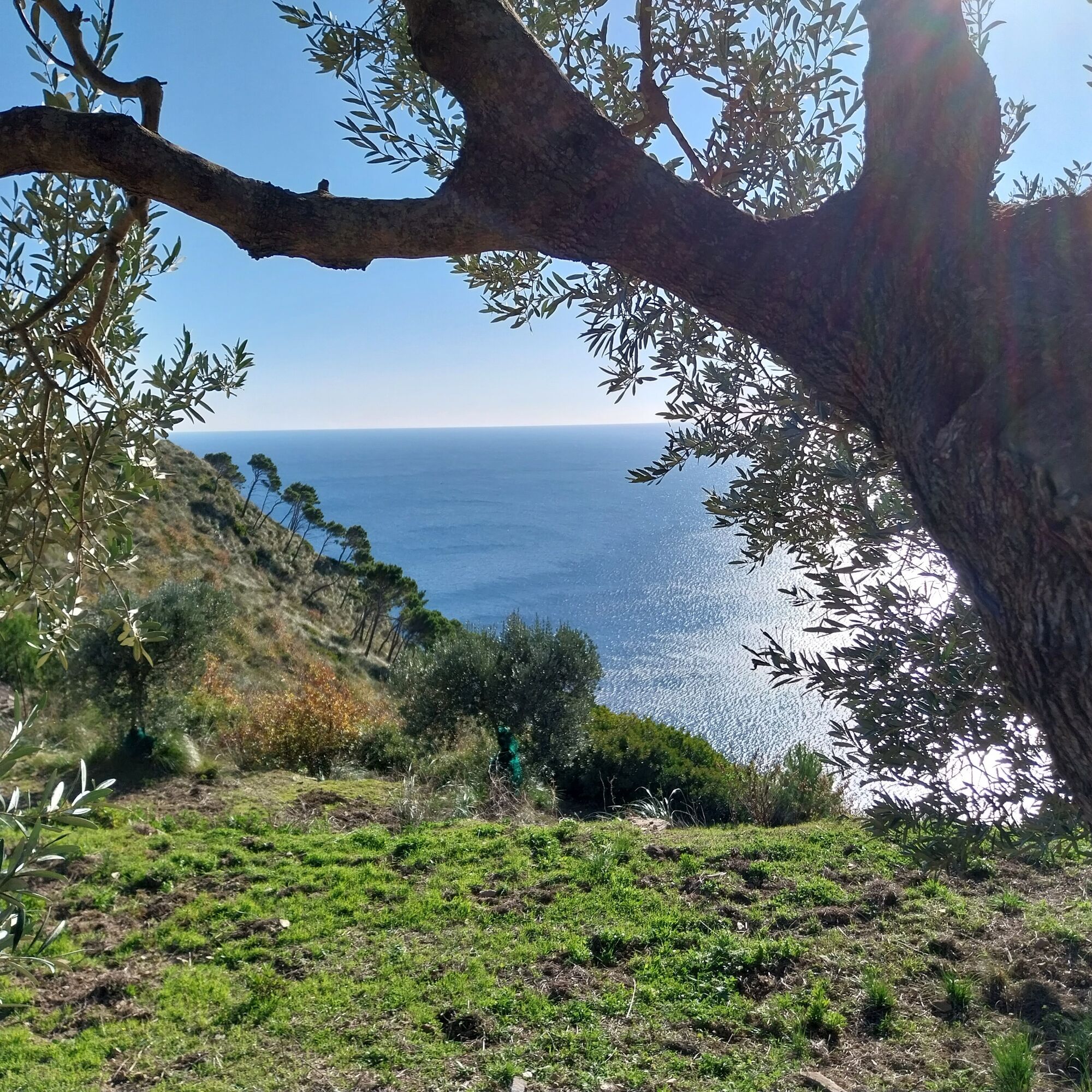
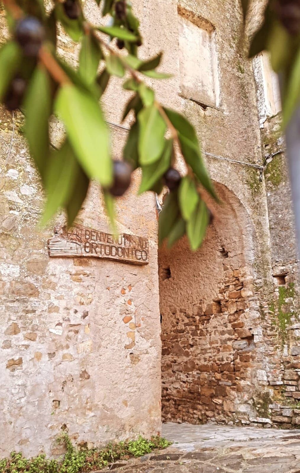
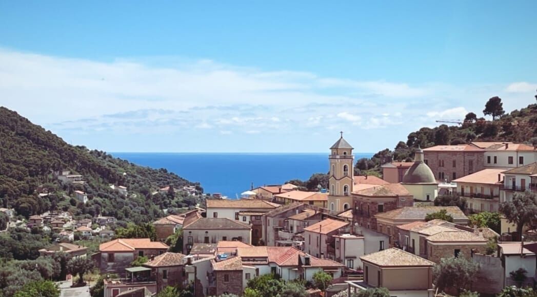
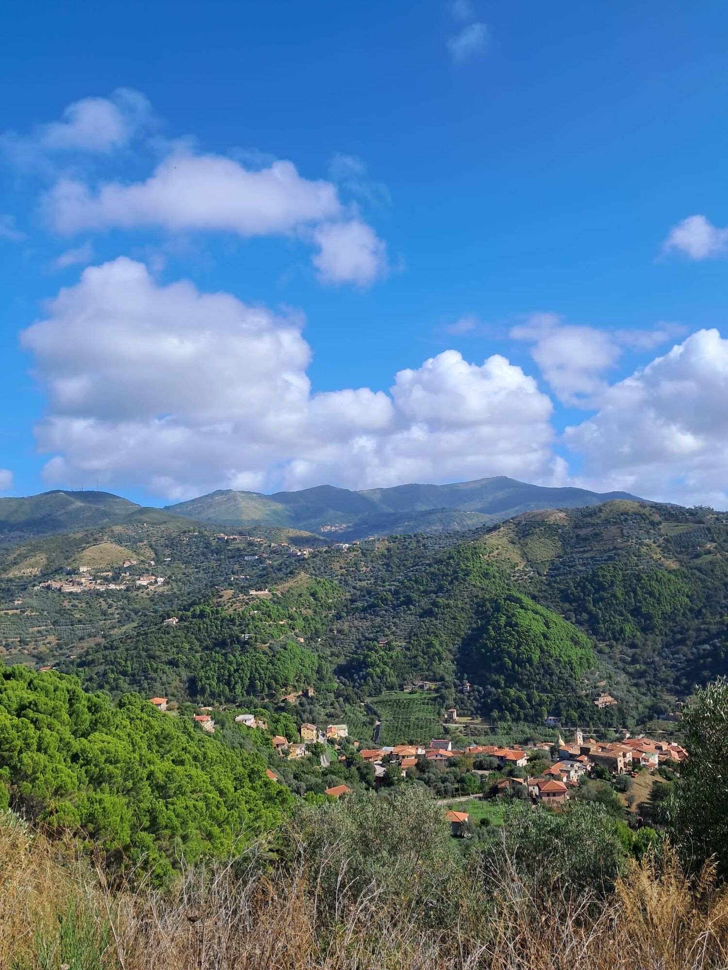

Departure from Serramezzana, near the sports field at the foot of the village begins the nature path that passes by the cemetery church of San Nicola and continues downhill to the arrival at Capograssi, passing next to the water mill at the beginning of the village and a short stretch uphill on the provincial road; after about 700 m on the road, on the left side of a curve begins the dirt path through which you arrive at the foot of Ortodonico; the alley, about a hundred meters further on, leads to the village square and then continues to the arrival at the Church of S. Maria delle Grazie. From here continue along the road that leads to the hill overlooking the village, where the very panoramic path begins and ends on the road bridge near the roundabout at the entrance to Montecorice. Once you arrive at the little square, go up to the upper part and take the path that, through the beautiful pine forest overlooking the sea, reaches the beach of Case del Conte. After a short walk along the beach next to the Tower of Arena, you arrive at Ogliastro Marina, where the fourth stage ends.
Tak
Tak
Tak
Technical trekking shoes, comfortable layered clothing, windbreaker jacket, a raincoat, hat and sunglasses or other protection against UV rays, at least 1.5/2 liters of water, and other personal necessities
From the Salerno - Reggio Calabria Highway, exit at Battipaglia to join SS18 towards Agropoli; exit at Agropoli south, and follow the signs for Mercato Cilento (SP46B). For those coming from the south, exit at Omignano from the highway called "Cilentana", continue towards Stella Cilento, then proceed on SP15B towards Mercato Cilento; from Mercato, continue for another 7 km until you reach Serramezzana
From all stations in Italy with a change in Naples or Salerno to board the regional train to Sapri and Reggio Calabria, get off at the Agropoli station. From the departure station to the starting point of the stage, there is a 22 km distance that can be covered by private taxi; alternatively, you can reach San Mauro Cilento by Busitalia line 34, 6.3 km from Serramezzana.
Near the little square in the center of the village there is a small free parking lot, unattended
Route not recommended in the hottest months (July, August), as the route is mostly exposed to the sun
Popularne wycieczki w okolicy
-
Cammino delle Terre della Dieta Mediterranea - COASTS OF TREZENI - Stage VI
średniTrasa pielgrzymki 14,9 km -
Path of the Lands of the Mediterranean Diet - MARINE DI LEUCOSIA - 5th Stage
średniTrasa pielgrzymki 15,1 km -
Cammino delle Terre della Dieta Mediterranea - STATE OF ELEA - 1st Stage
światłoTrasa pielgrzymki 15,3 km -
Cammino delle Terre della Dieta Mediterranea - LANDINGS OF SAN PRIMO - Stage II
średniTrasa pielgrzymki 16,7 km -
Cammino delle Terre della Dieta Mediterranea - VALLI DEL SUGHERO - Tappa VII°
Trasa pielgrzymki 9,99 km -
CAMMINO DELLE TERRE DELLA DIETA MEDITERRANEA
ciężkiTrasa pielgrzymki 143,5 km -
San Marco und Punta Licosa
średniWędrówka 10,8 km -
Castellabate - Santa Maria di Castellabate - Santuario di Santa Maria a mare
światłoWędrówka 2,67 km -
Capaccio Paestum - Chiesa dei Santi Pietro e Paolo - Santuario di Santa Maria a mare - San Marco Antica Cappella
średniWędrówka 27,5 km -
Casal Velino - Marina di Casal Velino
światłoWędrówka 3,17 km
Wędrówki i tropienie


Nie przegap ofert i inspiracji na następne wakacje
Twój adres e-mail została dodana do listy mailingowej.





