





Vuokatti hiking 21 km, Vuokatti

Poziom trudności: T4
On the Vuokatti Hike, you cross 13 large fells whose slopes open up to breathtaking views. The Vuokatti fells have been known throughout history and became a tourist destination already in the 19th century....
On the Vuokatti Hike, you cross 13 large fells whose slopes open up to breathtaking views. The Vuokatti fells have been known throughout history and became a tourist destination already in the 19th century. Artists, hikers, and many top athletes have enjoyed these landscapes. This hiking trail is worth taking to enjoy nature without hurry.
The Vuokatti Hike event is organized on this route, which is Finland's oldest hiking event. It has been held every autumn since 1945.
The hiking trail is strenuous due to the hilly terrain and path surface, and it is classified as difficult.
The Vuokatti fell chain route is part of a longer, nearly 1,000-kilometer national UKK hiking route named in 1957 after President Urho Kaleva Kekkonen, who traveled the route. The route's end points are Lieksa's Koli in the south and Savukoski's Tulppio in the north. The UKK route is part of the European long-distance hiking routes E10, which starts in Nuorgam and ends in Tarifa, Spain, and E6, which runs from Kilpisjärvi to Alexandroupoli, Greece.


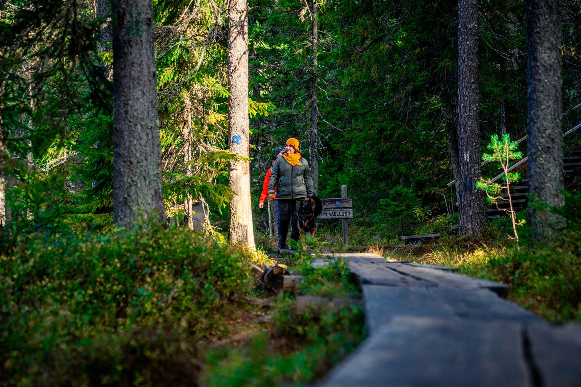
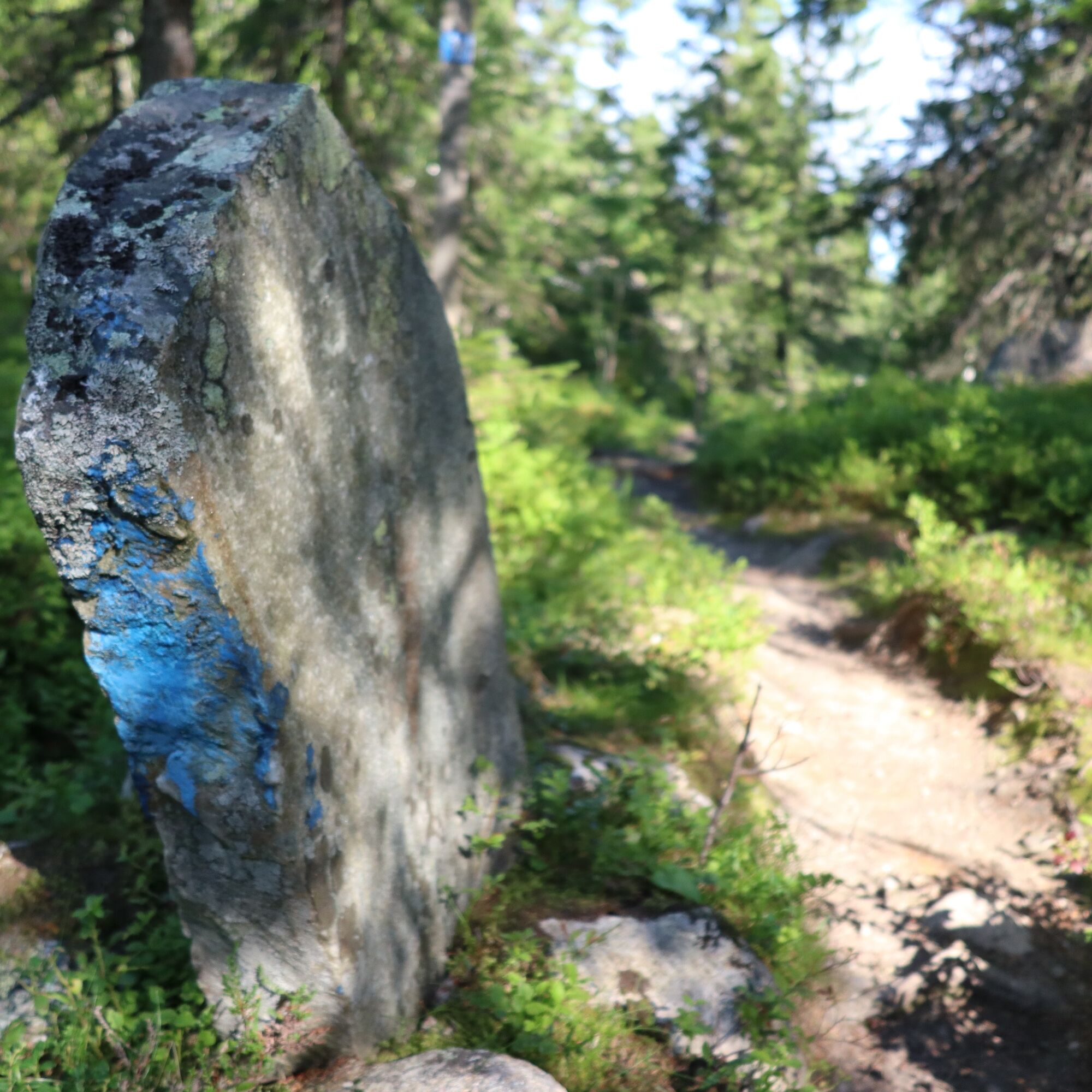
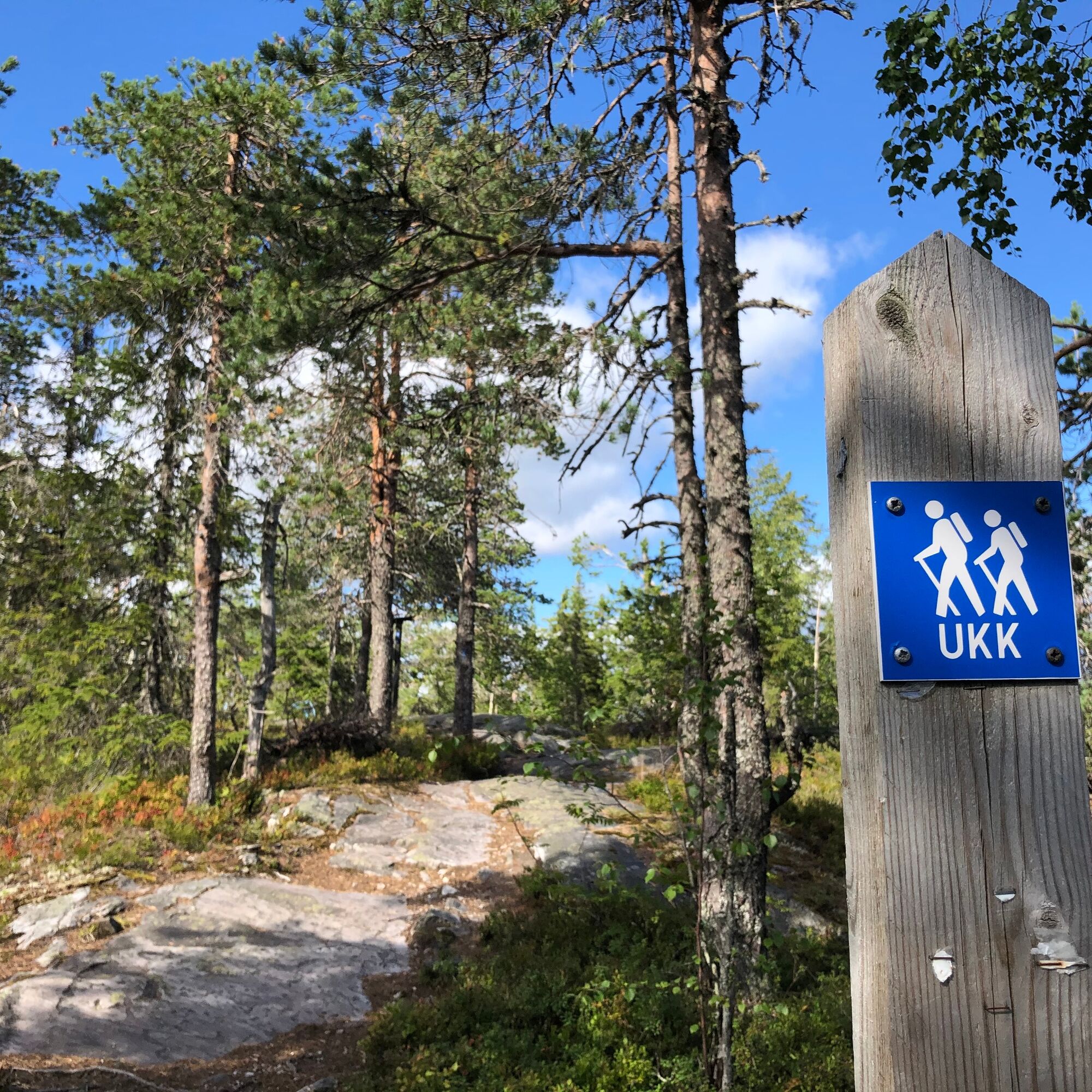
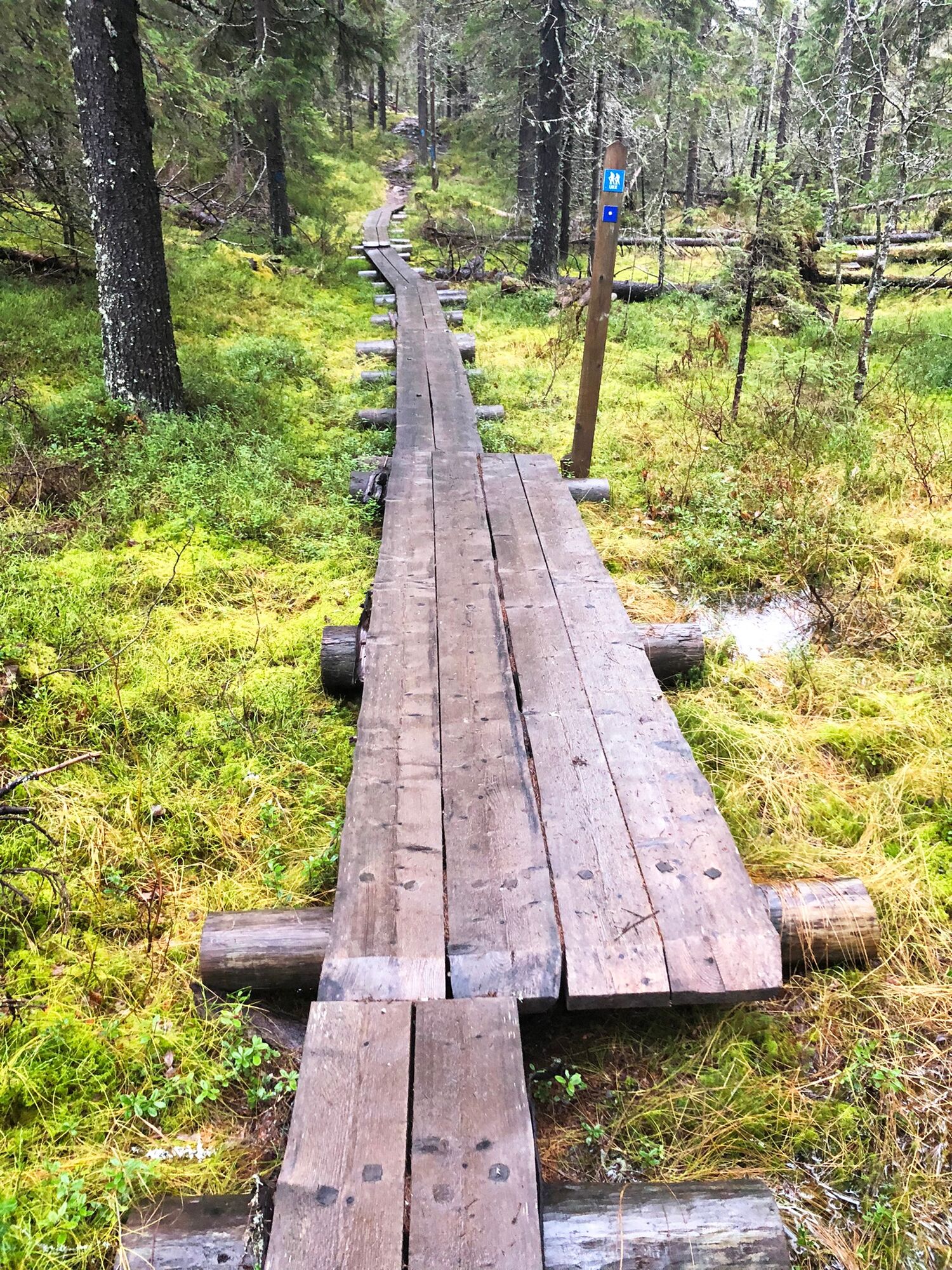
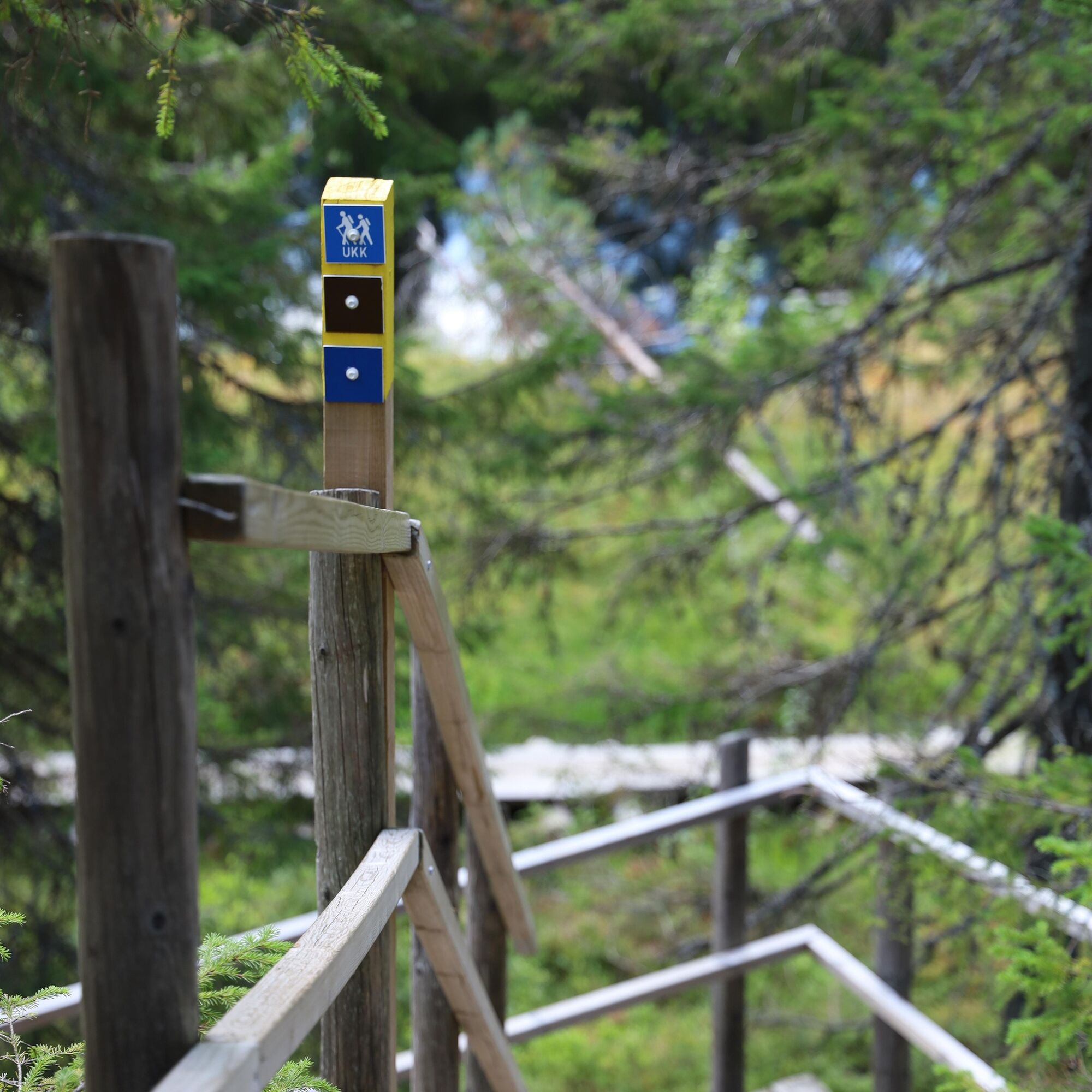

The Vuokatti hike is marked in the terrain with blue UKK trail signs.
The route starts from Teerijärvi and ahead is a long chain of fells. First up is Parkuanvaara, after which the trail passes Martin-, Sattula-, and Ansavaara fells. From the crossings of Tolhola and Persevaara, the route mainly follows the tops of the fells. After Rönkö, you reach Koljolanvaara, Porttivaara, Lehtovaara, Möykynvaara, Matovaara, Keima, and finally Iso- and Pieni-Pölly before arriving at Vuokatti.
The route starts from the old village school site on the west side of the road in Teerivaara. The trail passes by the Takkula farm and crosses a forest road. After the road at Parkuanvaara, the route continues through a large clear-cut area. From Martinvaara, the route continues via the artificial pond dam for about half a kilometer along a forest road. After this, the path splits into a forest trail. Between Satulavaara and Kekäleaho, there are old field clearings that have partially grown over. From Kekäleaho, the trail continues to the old forest croft at Isoaho and from there towards Ansavaara. From Ansalampi, the route follows the lower edge of Tolhovaara for about a kilometer, and after about a five-kilometer hike, you encounter the Tolhovaara service point, where water and juice are available. At this point, the hiker can choose either an easier or a more difficult route to the Rönkö shelter.
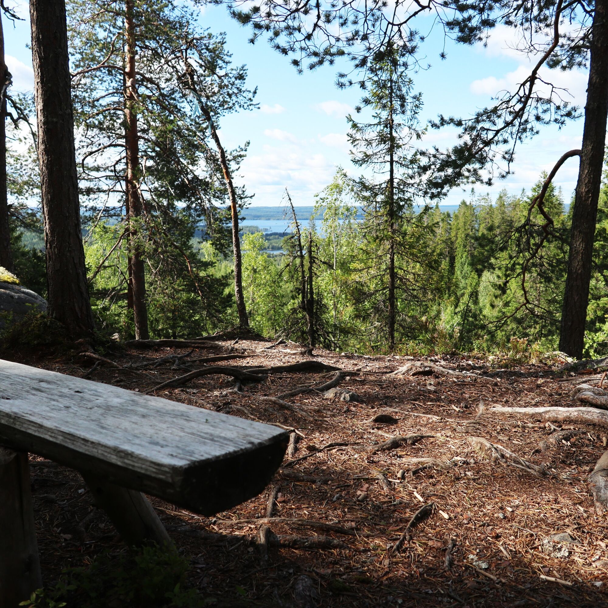
The easier route continues straight to the Rönkö service point. The harder route ascends to the top of Tolhovaara. There is a 100-meter climb over a 600-meter map distance. The route is tough but very rewarding due to magnificent views. From the top of the fell, there is a view of Jormasjärvi and partly also Nuasjärvi. From the fell, the path descends directly along the border to Persevaara, whose steep northeast slope is a nature reserve. From Persevaara, the journey turns north along the steep slope to Rönkövaara and from there to the Rönkö shelter, which also has a toilet.
From the Rönkö shelter, the path crosses under the Joensuu-Kajaani highway, and the uphill journey begins to Koljolanvaara. At Koljolanvaara, you get back to the proper trail, i.e., into the forest and onto a good path. The steepest rocky steps are eased with wooden stairs. However, the hiker needs healthy knees and ankles to reach the 300-meter contour line and the magical old primeval forest.
From Koljolanvaara, the path leads to Porttivaara at 340 meters, from where it descends northward through a sapling area to the ruins of an old farm. At the former Porttimäki farm, you can learn about the history of the farm residents August and Hilma Tikkanen and take a toilet break. Near the ruins is also an old quarry site for oven stones.
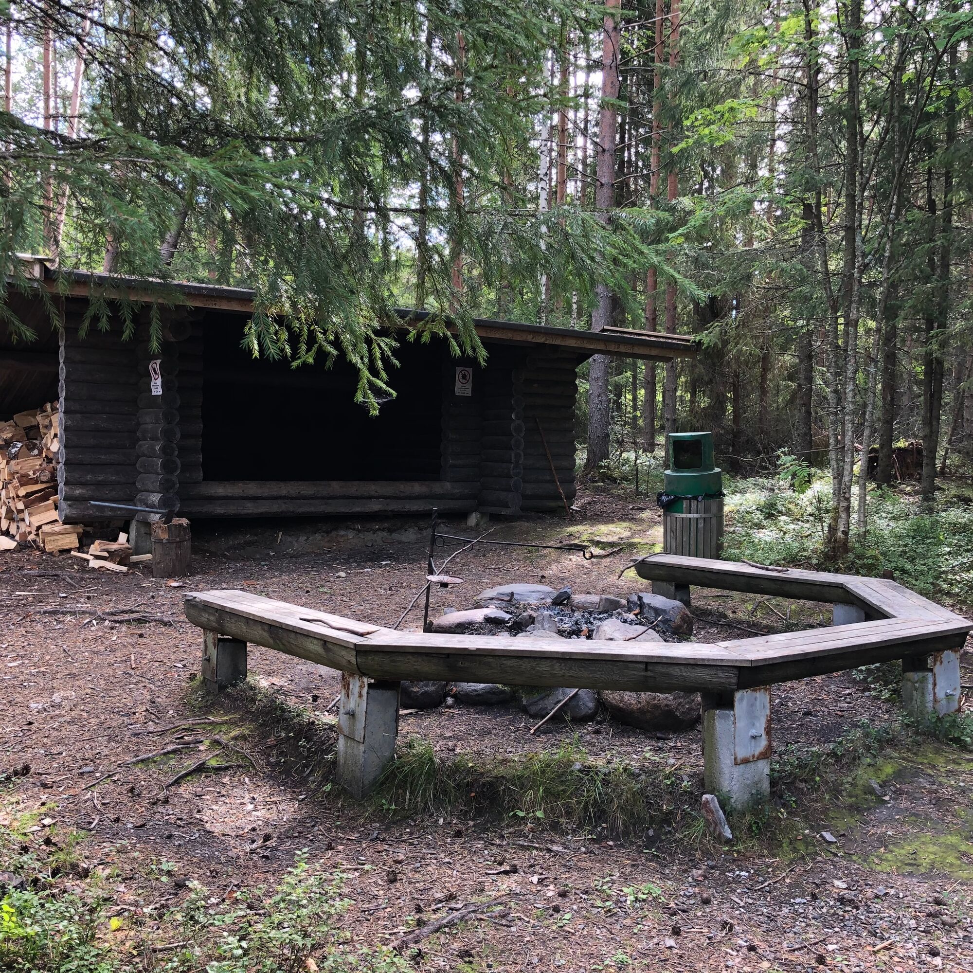
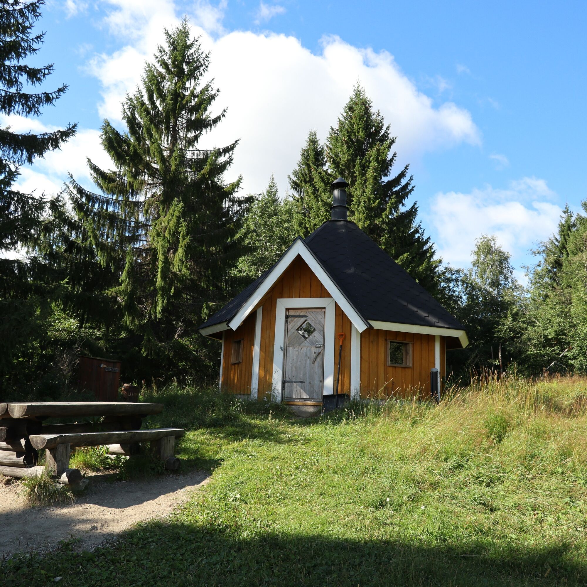
From Porttivaara, the route descends into a hollow and climbs via Ilveskallio to Lehtovaara. Along the way, you pass through fairytale forests, commercial forests, and ski trails. After a 14.5-kilometer hike, you reach Möykynlampi. At Möykynlampi, there is a small cottage with a campfire site and toilet in the yard. You can jump off the dock to swim in the pond.
From Möykynlampi, the route continues to Möykynvaara and Matovaara, where there is a kota shelter and a toilet at Kettumäki.
From Kettumäki, you continue up to Keimavaara and from there the path goes to Pieni Pöllyvaara. Although Pieni Pöllyvaara is part of a nature reserve, you can still see a 323-meter radio mast erected on the slope. From Pöllyvaara, the route descends to the shore of a small pond and from there ascends a steep and rocky path to Vuokatinvaara. Now you are at 326 meters above sea level.
From the fell, the route descends from the lower parking area corner to the ski slope and then down to Vuokatti. The route ends in the sports institute area.
Tak
Tak
It is recommended to use proper hiking footwear.
The route's cafes and restaurants are only right at the end of the trail, so bring enough snacks and drinks with you.
The route is marked in the terrain with blue UKK signs, but it intersects at many points with other routes, ski trail bases, and unmarked paths.
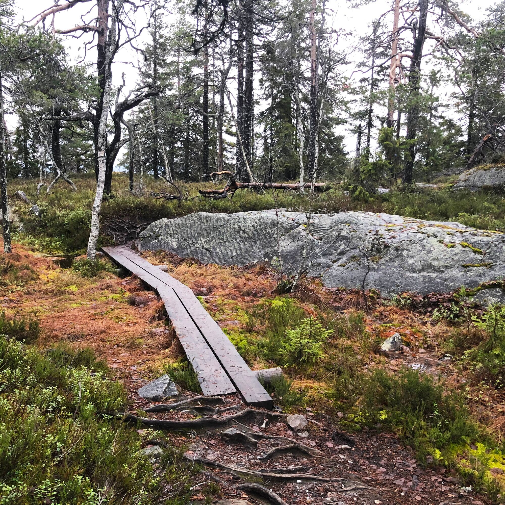
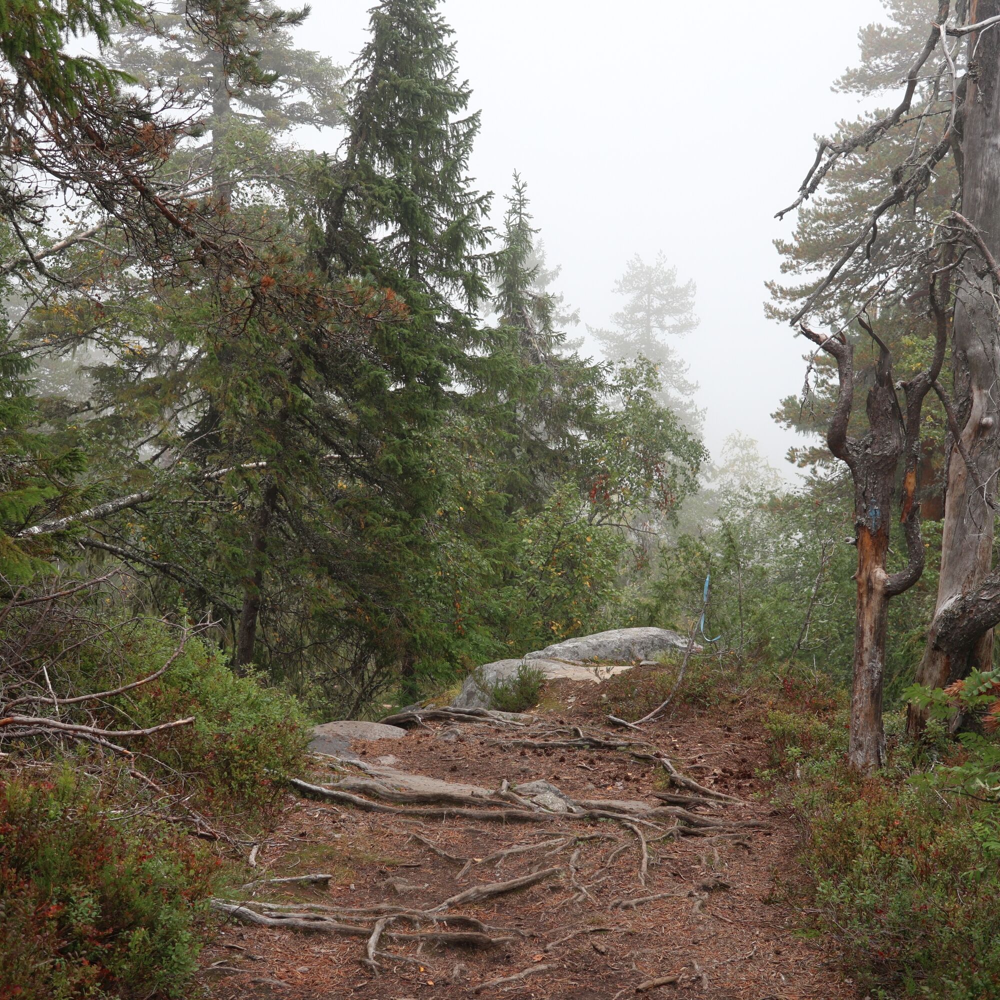
The route has challenging climbs and descents in places. Additionally, the terrain surface is very rocky and rooty in several places.
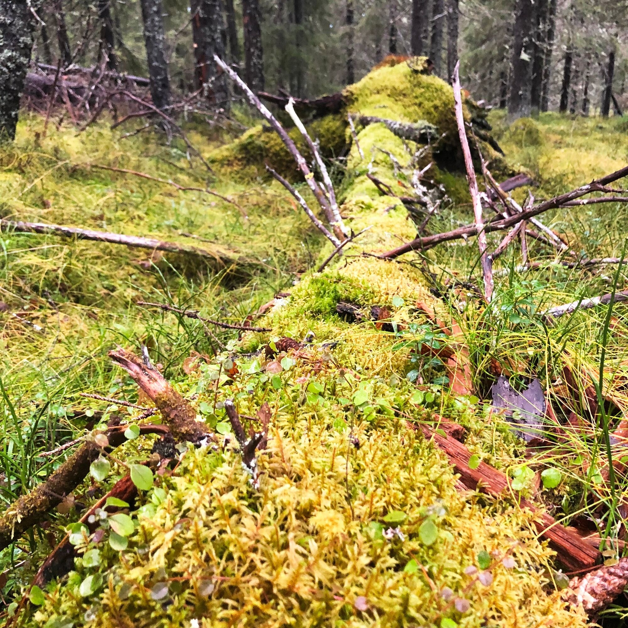
Especially in spring, autumn, and after heavy rains, the route is wet in many places.
The route's starting point is at address Teerivaarantie 77, Vuokatti. Parking is in the yard of the adjacent old school.
By car, the starting point is about 17.5 kilometers from Vuokatti Sports Institute. From Vuokatti, turn onto Nurmestie (899), then after about 9.5 km turn onto Teerivaarantie.
There is no public transport to the starting point. Ask accommodations for taxi services.
Free parking is available at the start and end points.
T4
Vaaran Tupa café serves year-round seasonally at the top of Vuokatinvaara.
More information about Vuokatti tourism services www.vuokatti.fi
The kota shelters and lean-tos are well-equipped and maintained rest spots.
A good overnight stay location is the Porttimäki kota, which is worth stopping by anyway.
Popularne wycieczki w okolicy
-
5,0
Kettumäki route 10 km, Vuokatti
średniMountainbike 9,93 km -
Lampipolku day hiking route 6 km, Vuokatti
światłoNordic Walking 5,99 km -
Eino Leino trail 7 km, Vuokatti
ciężkiWędrówka 7,41 km -
UKK trail from Rönkkö to Sports Institute 12 km, Vuokatti
ciężkiWędrówka 11,9 km -
Paddling around Sapsojärvi, 16 km, Sotkamo - Vuokatti
średniKajak / Canoe 16,4 km -
Sapporo path 10 km, Vuokatti
ciężkiWędrówka 9,84 km -
Multi-use trail to Kaarreniemi lean-to 5km, demanding, accessible, Vuokatti
światłoWędrówka zimą 5 km -
Hiukka illuminated Nordic walking route 5 km, Sotkamo - Vuokatti
światłoNordic Walking 4,95 km -
Paddling the waves of Kiantajärvi, 12 km, Sotkamo - Vuokatti
średniKajak / Canoe 11,9 km -
Challenging 18 km mountain biking route at Ohravaara, Vuokatti
średniMountainbike 18,1 km
Wędrówki i tropienie


Nie przegap ofert i inspiracji na następne wakacje
Twój adres e-mail została dodana do listy mailingowej.





