





Paljakka MTB round tour 46/65 km, Paljakka - Ukkohalla

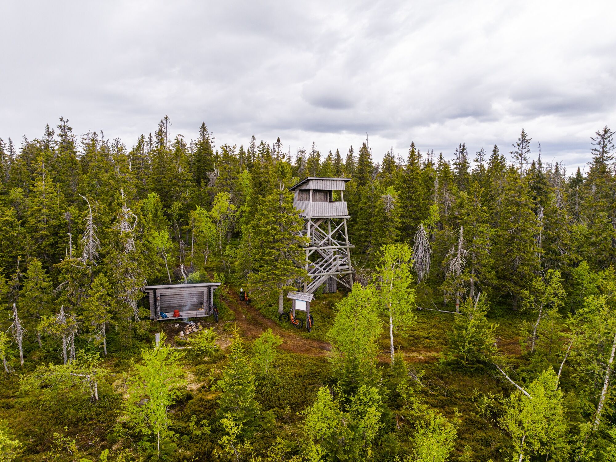
The scenery on the Paljakka round tour is truly spectacular and can be best appreciated from the observation towers of Paljakkavaara and Lakisuo, the top of Iso-Ypykkä hill and the duckboards of Joutensuo...
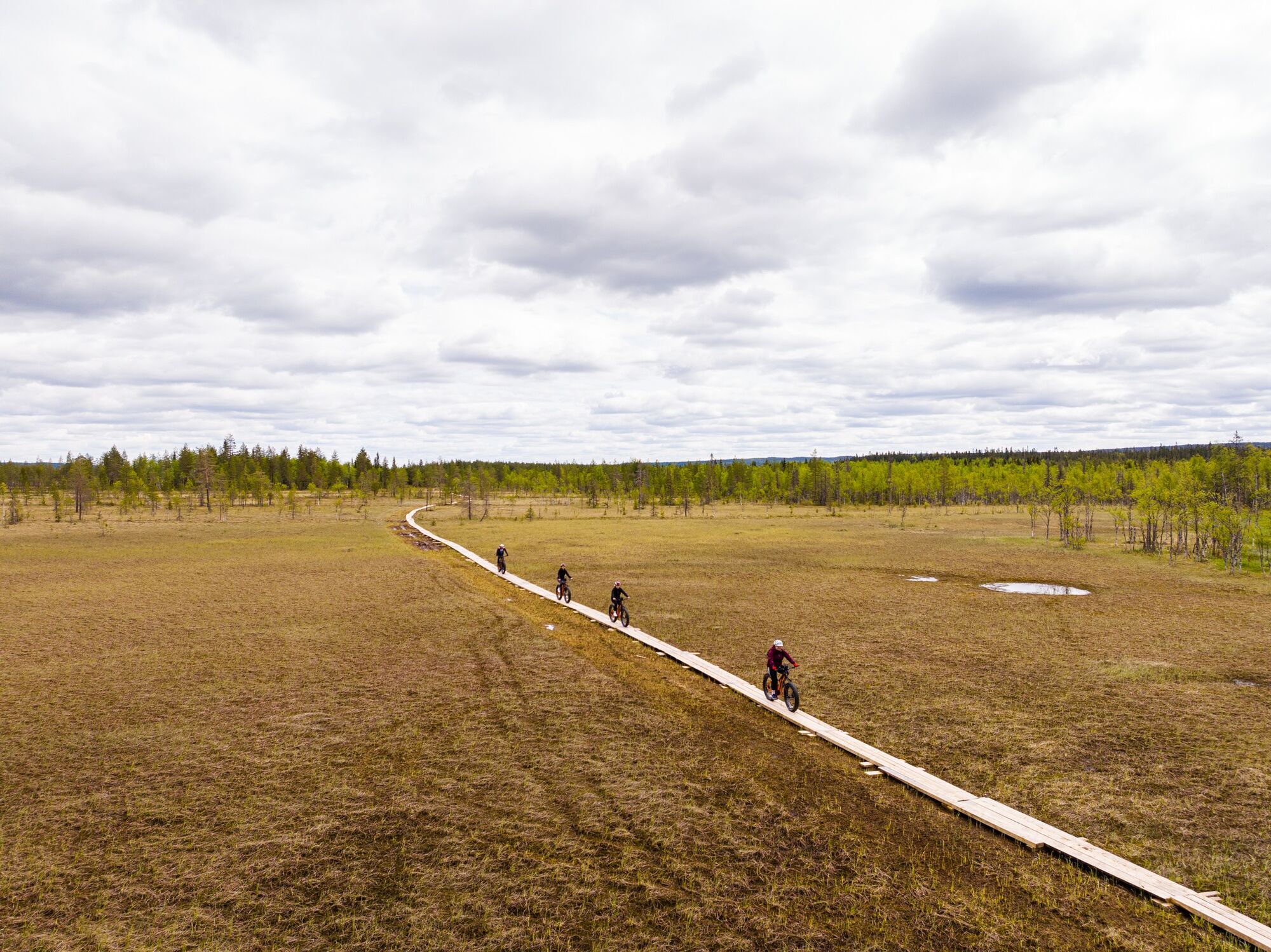
The scenery on the Paljakka round tour is truly spectacular and can be best appreciated from the observation towers of Paljakkavaara and Lakisuo, the top of Iso-Ypykkä hill and the duckboards of Joutensuo bog. Diverse nature awaits you along the entire route.
The route can be cycled as a round trip at Paljakka, 46 km in length. If you combine it with Ukkohalla tourist centre or start from there, the total distance is 65 km. From Ukkohalla, the route largely follows the Komulanköngäs circle trail and the Jyrkkä tour (with the possibility of route variations).
The Paljakka round trip is very varied in terms of difficulty. Easy, wide forest roads alternate with technically challenging forest trails and even the long stretches on duckboards require concentration. The Helvetinkuoppa (Hell's Pit) is, as the name suggests, particularly difficult. Due to the differences in altitude, it is recommended to ride the tour clockwise.

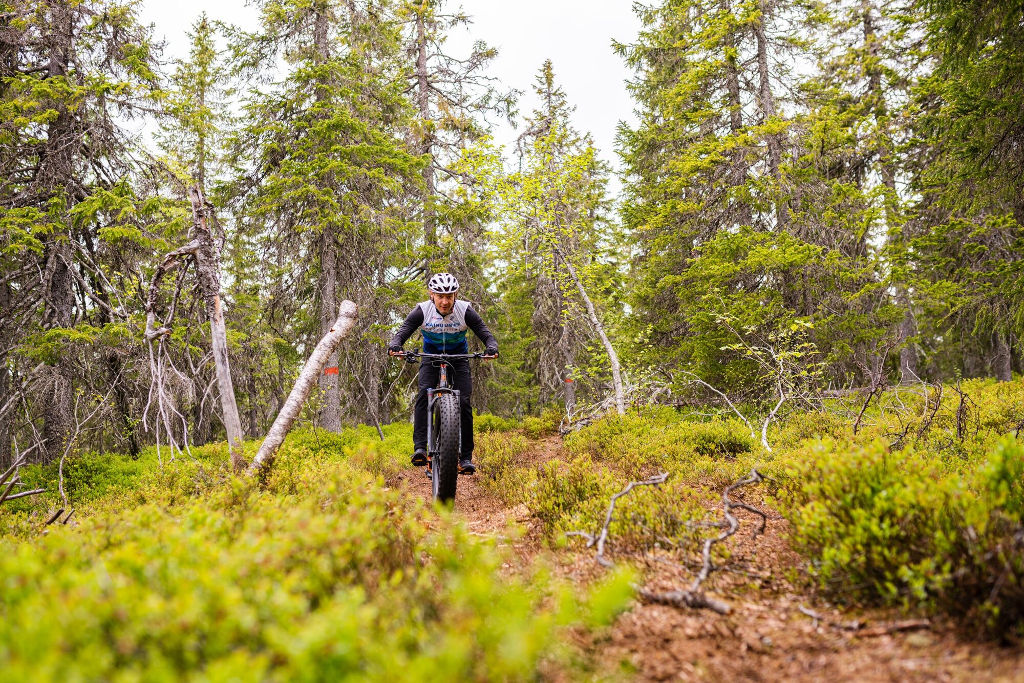
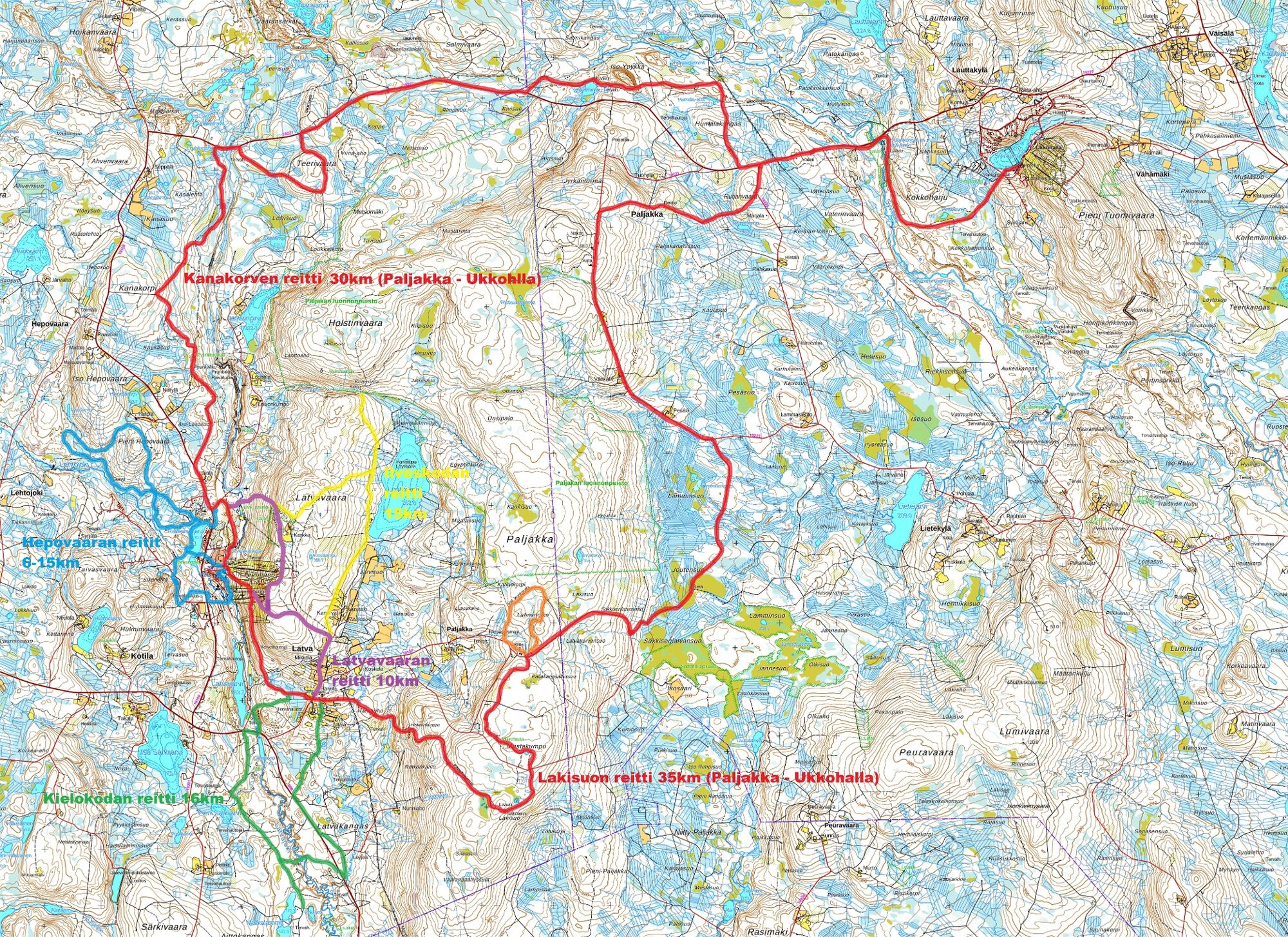
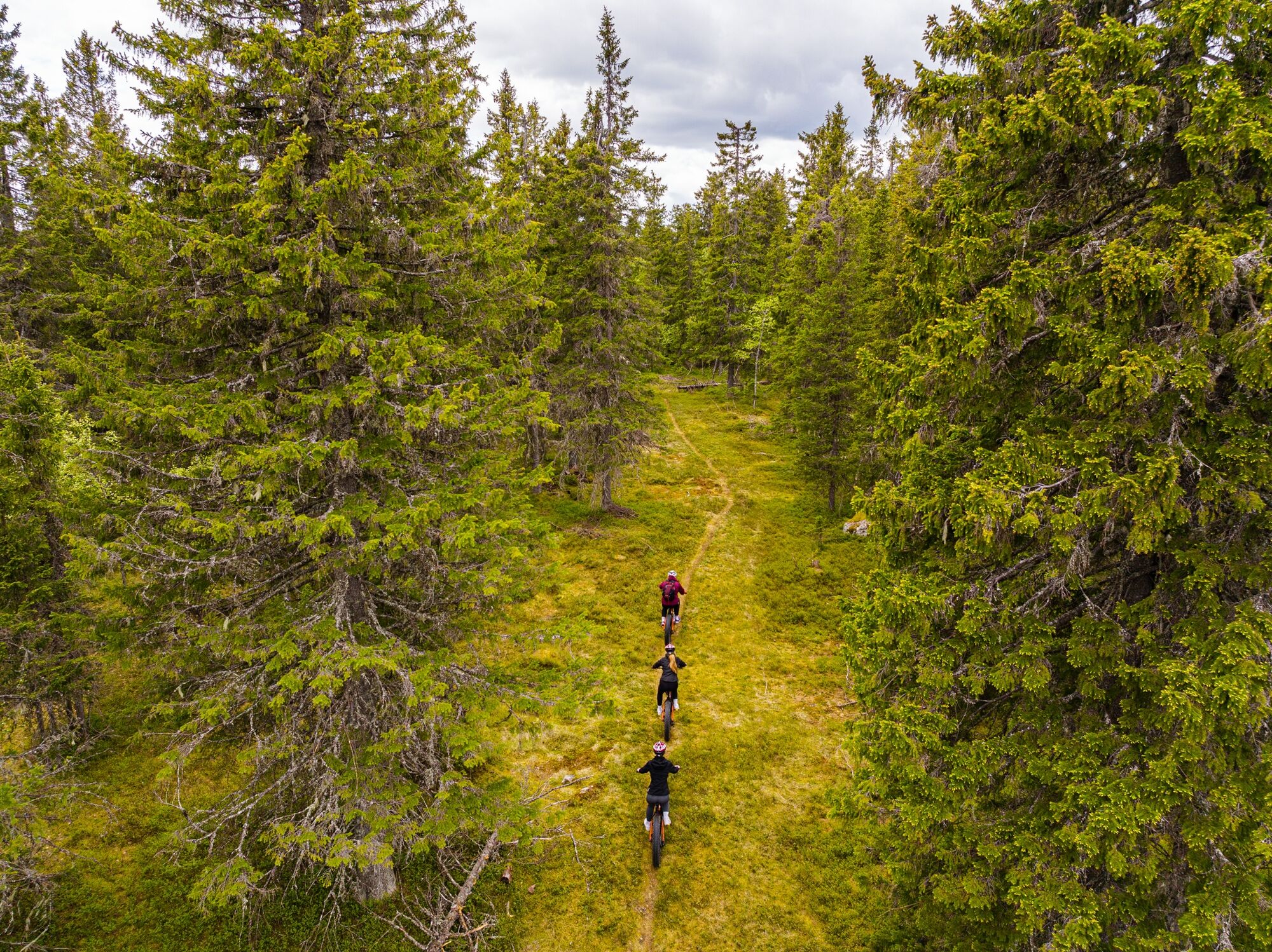
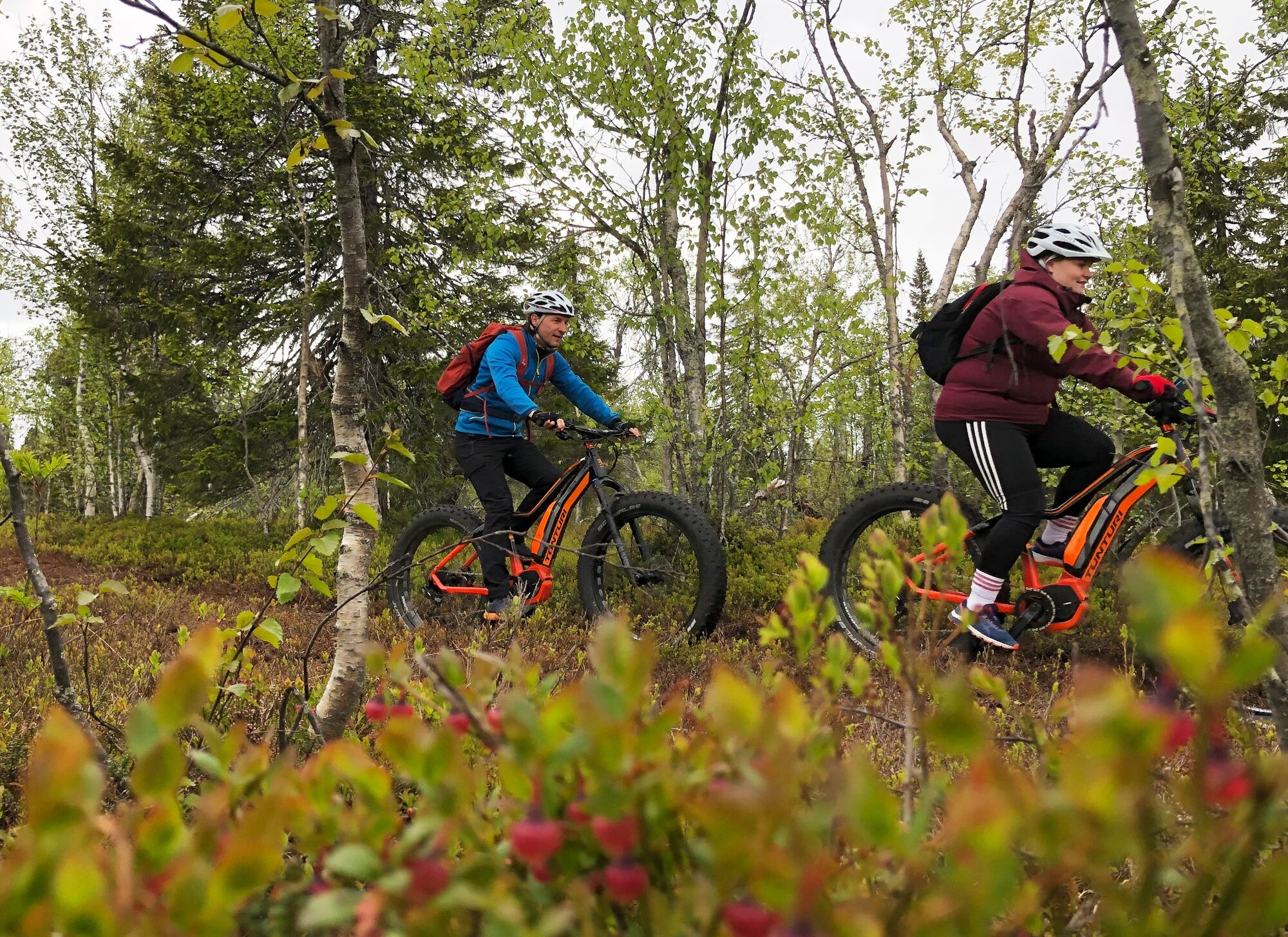
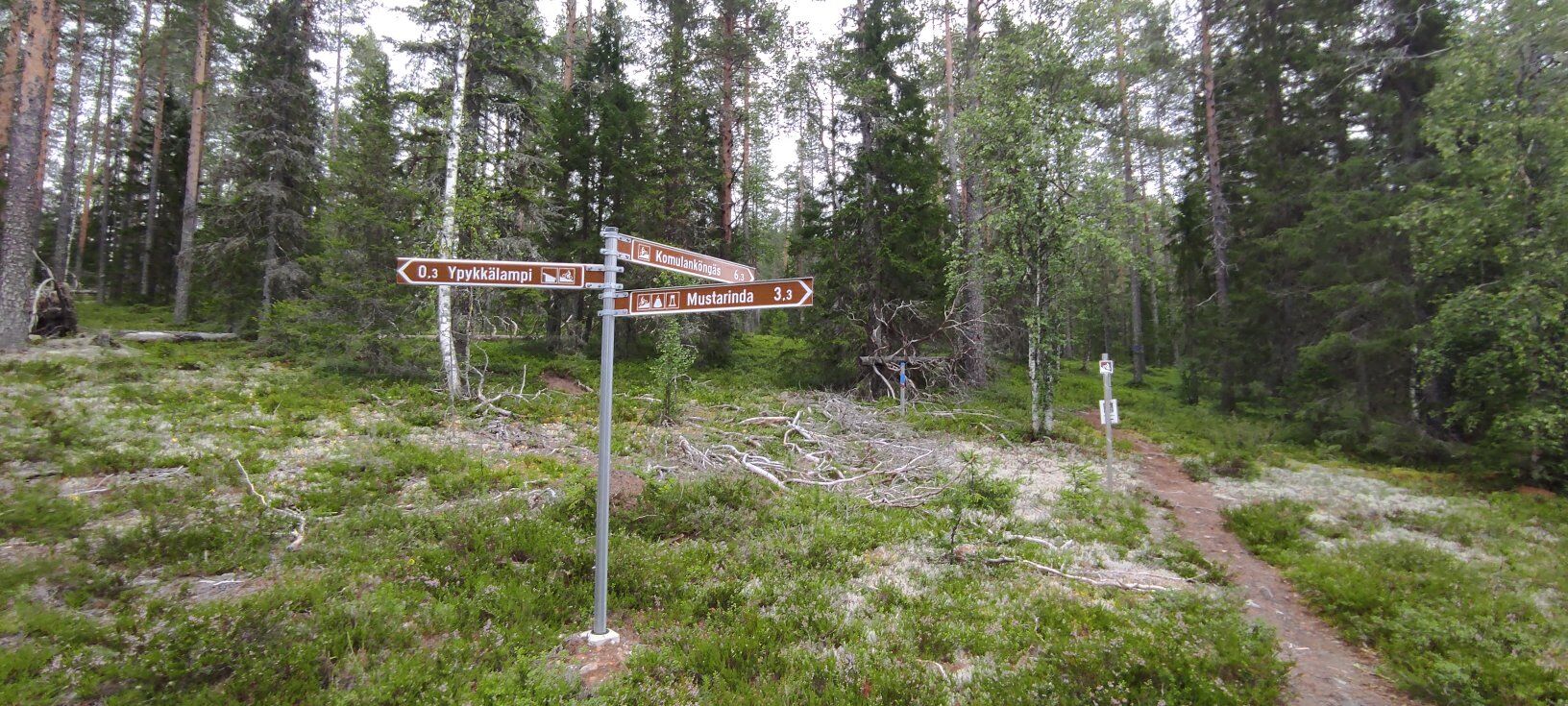
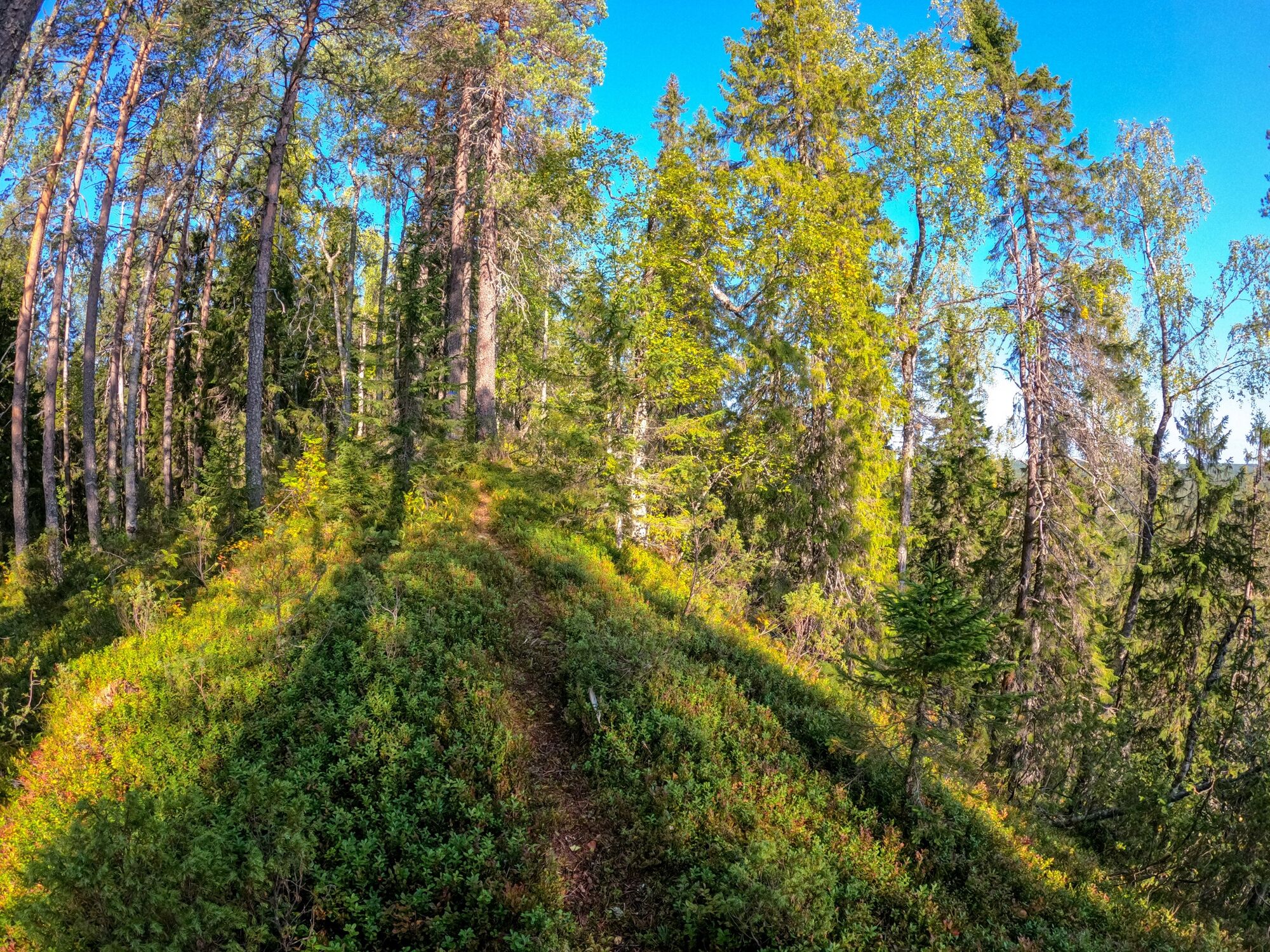
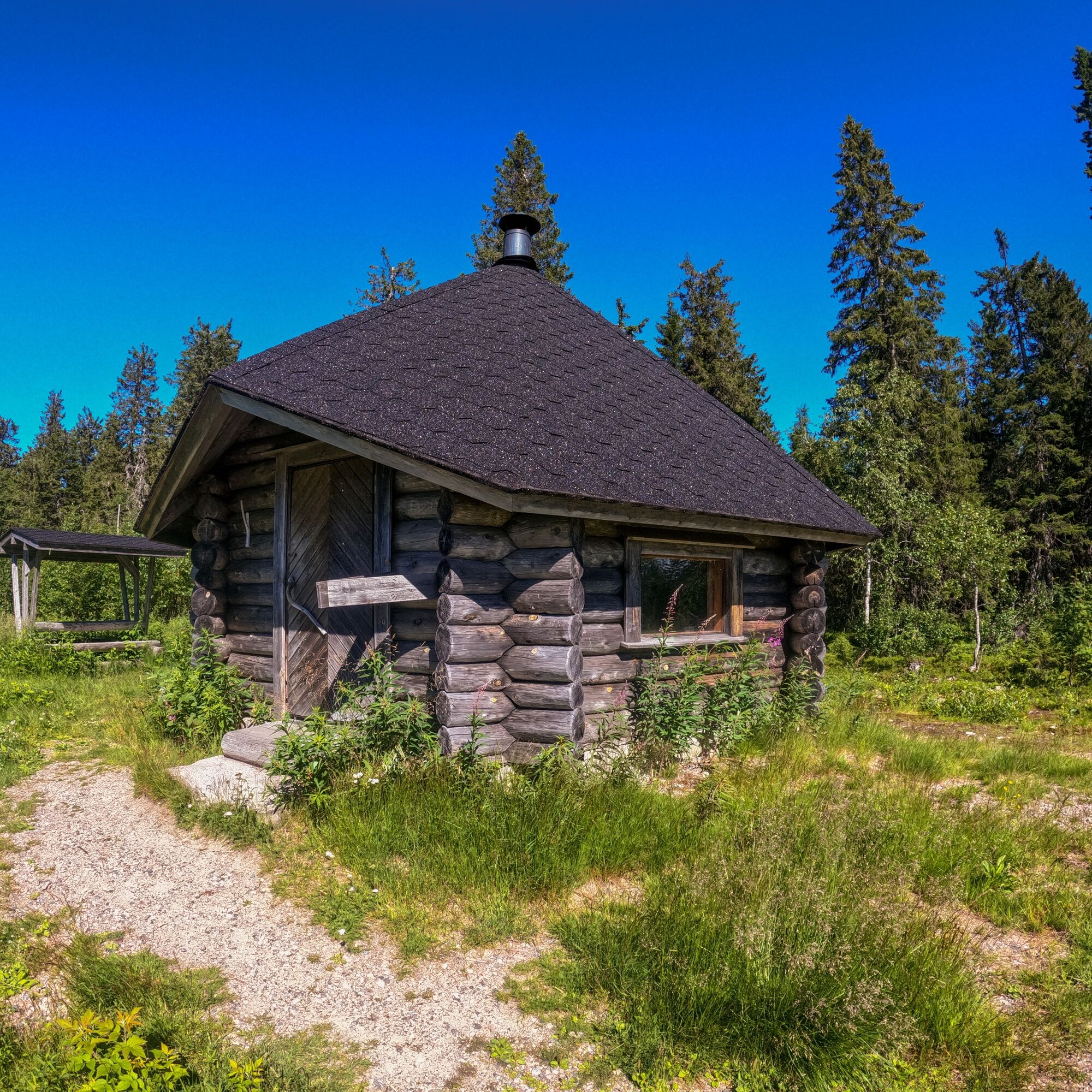
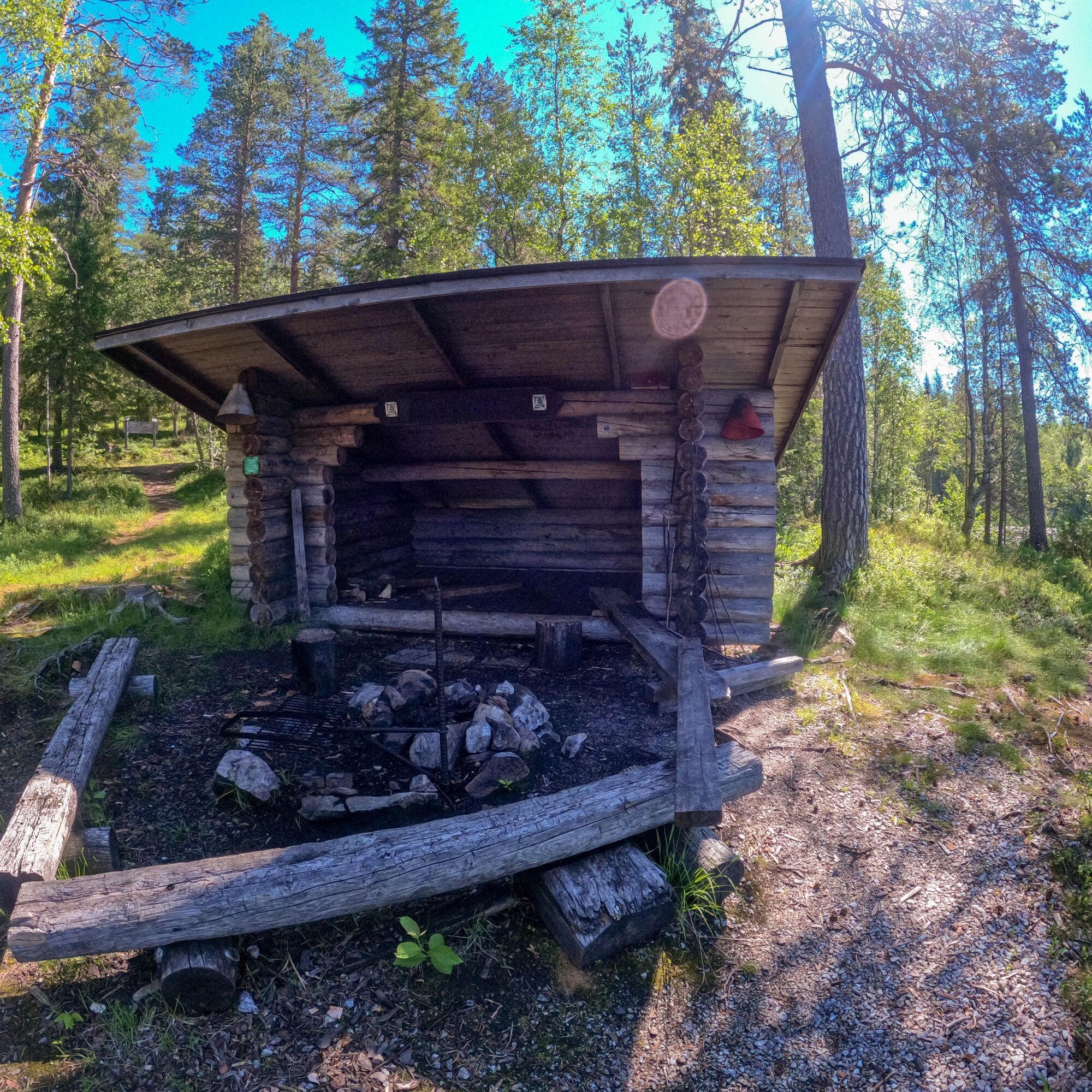
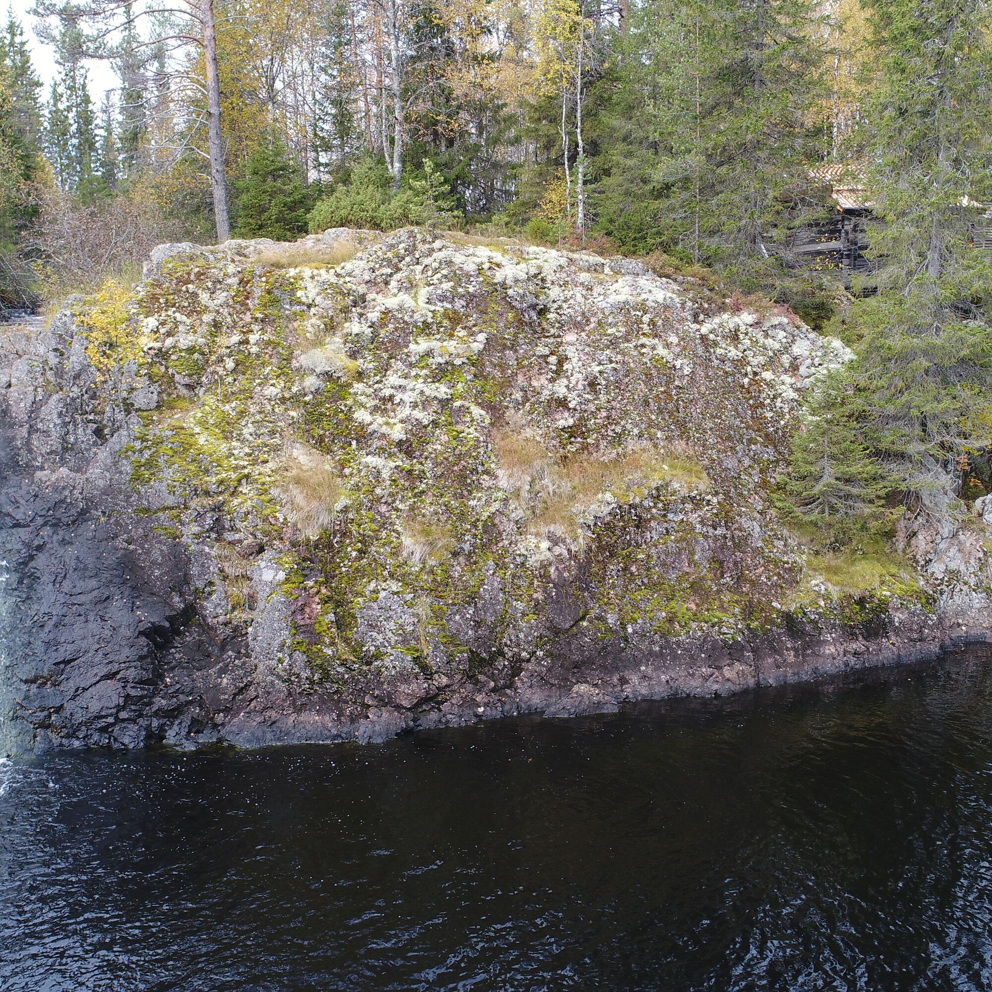
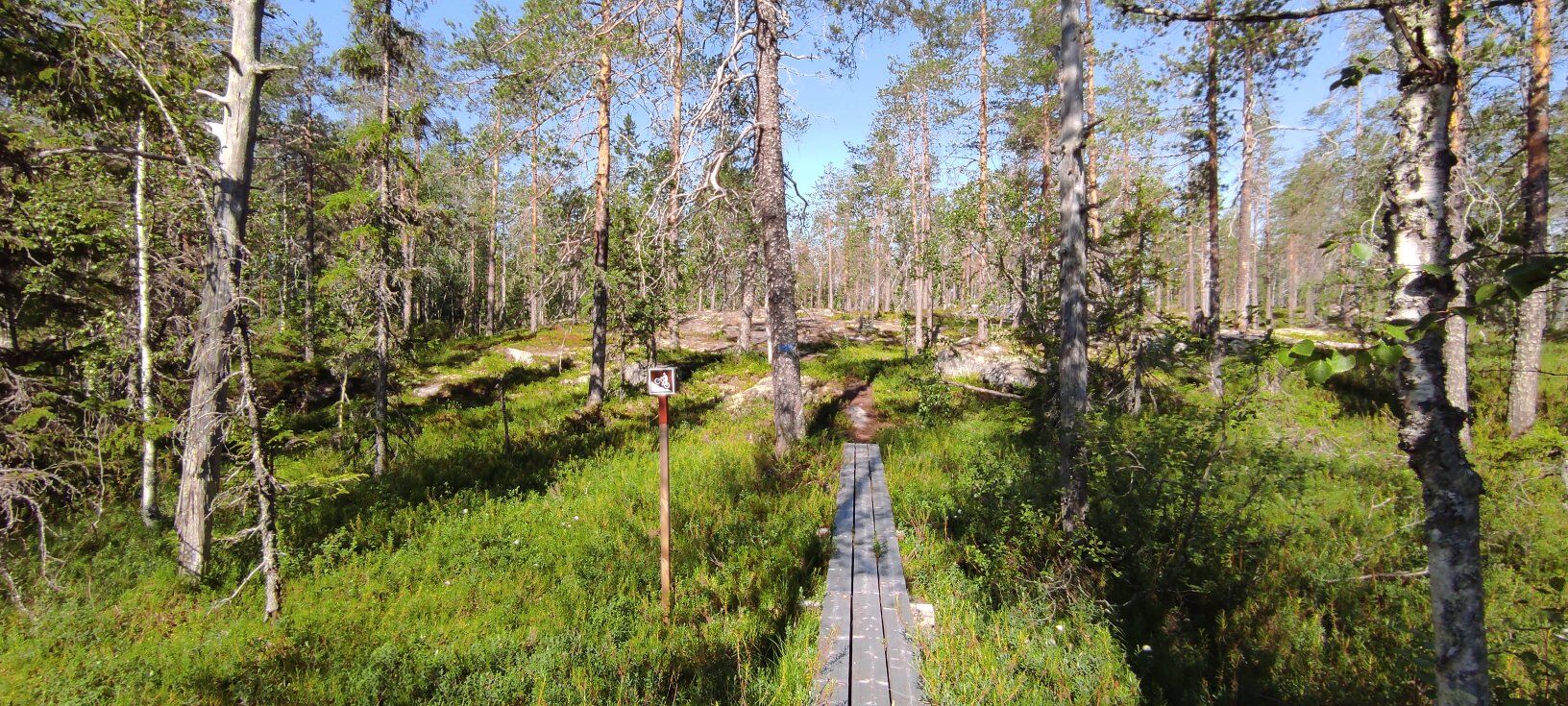
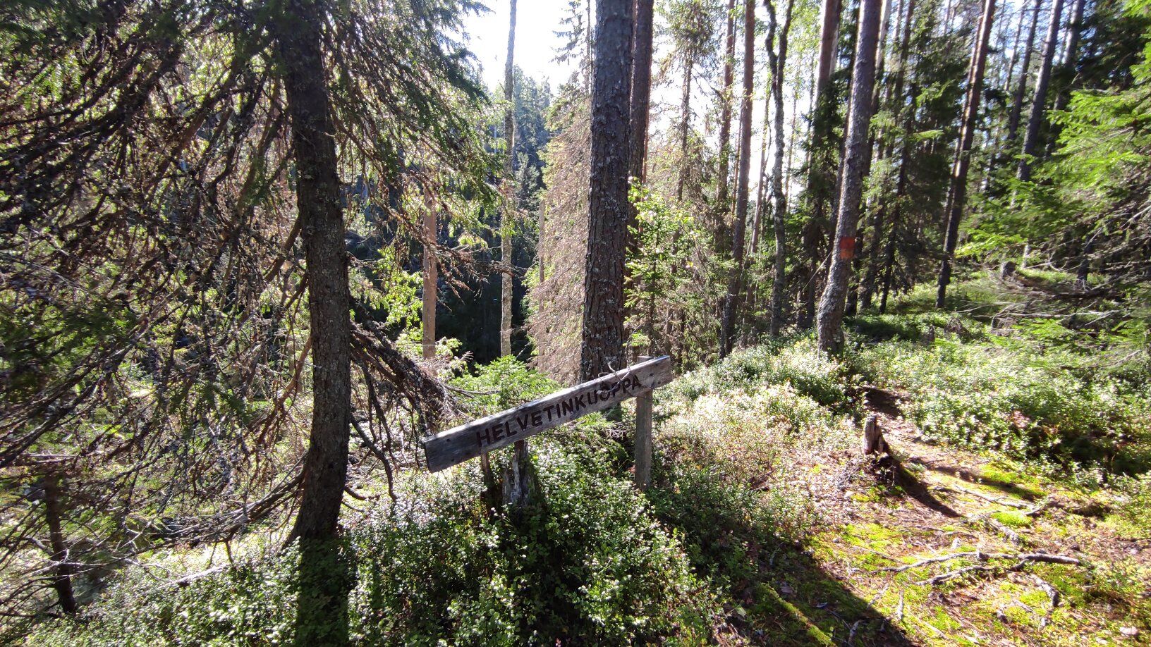
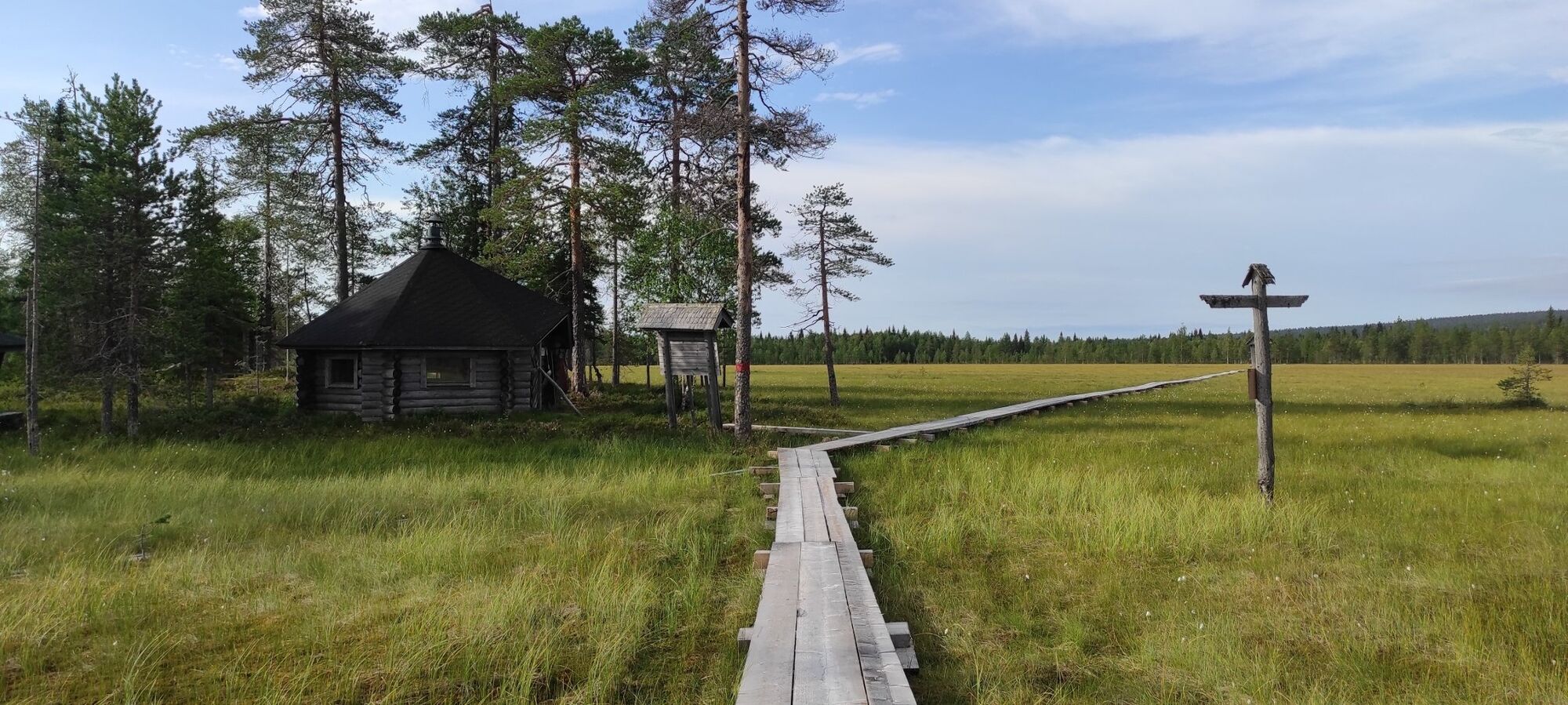
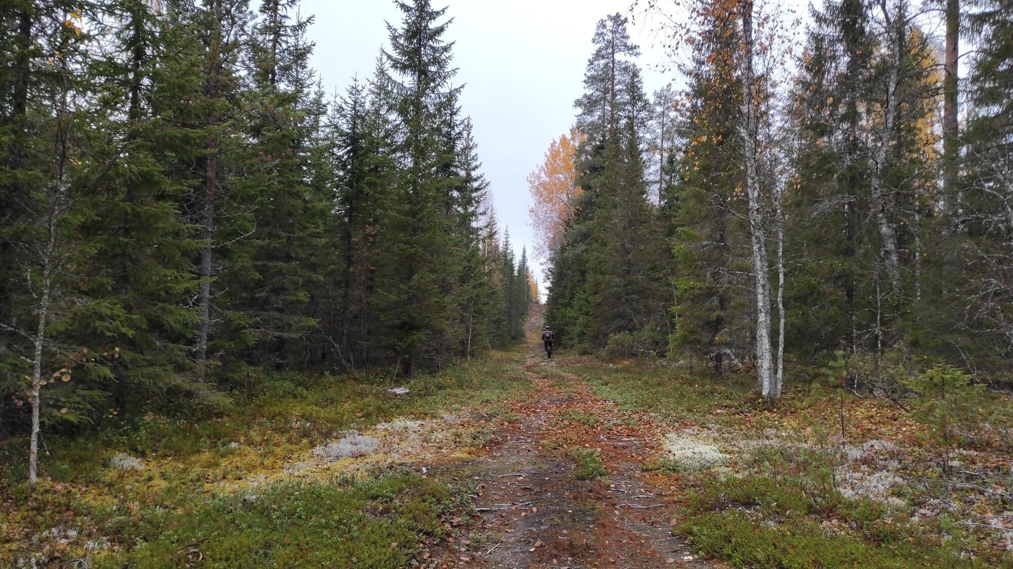
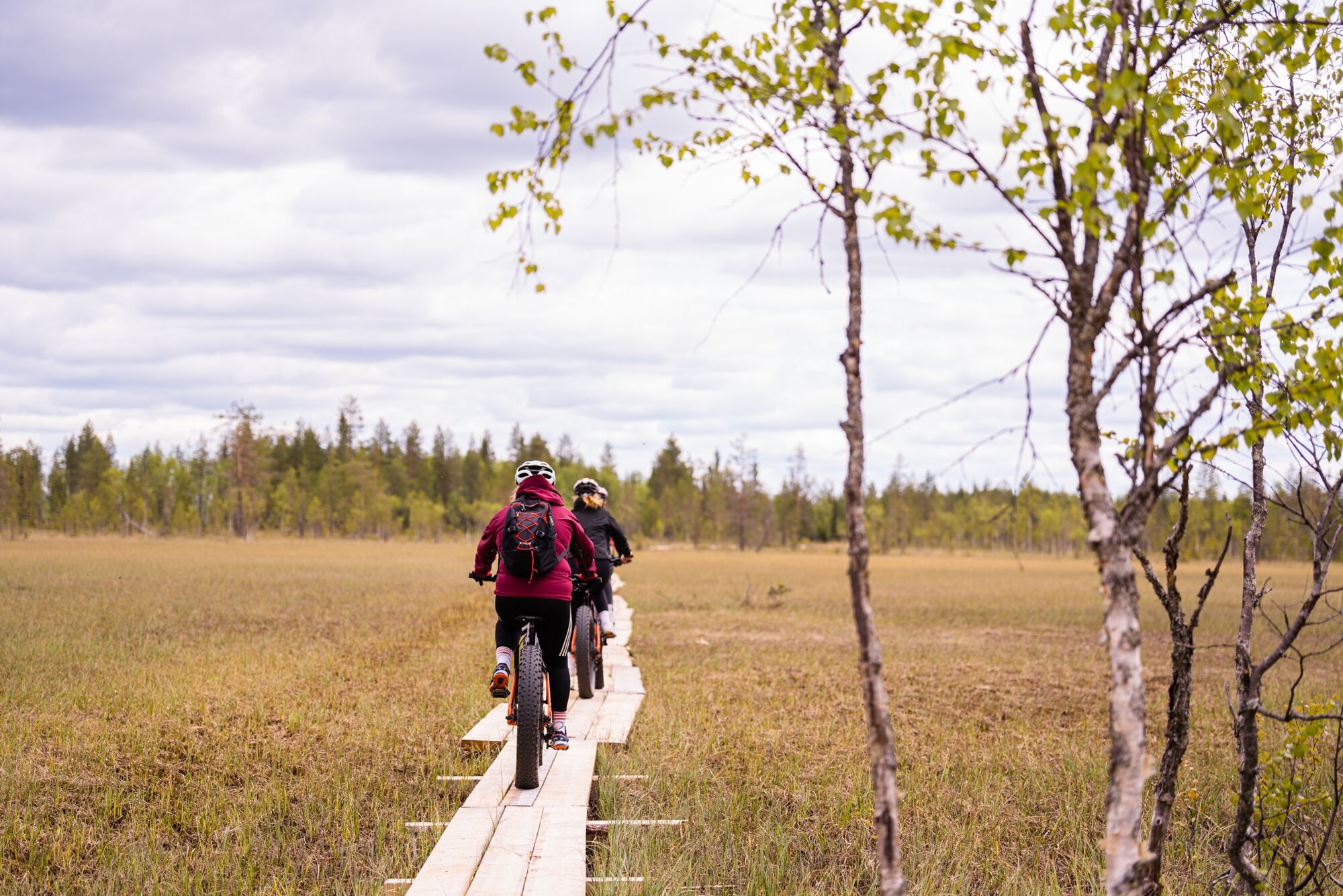

The Paljakka round tour is marked with red marks in the nature.
PALJAKKA - YPYKÄNLAMPI pond
The Paljakka round tour starts north from the tourist center, following what is a ski track during winter at the beginning, then a short stretch on the road (Holstintie - Hoikanvaarantie). From the main road, you soon turn off onto a forest road, which continues as an off-road route towards Kanakorppi. From here, the track leads towards the shore of river Louhenjoki and on to the Paljakka - Ukkohalla road, where it makes a small bend before continuing to the forest road to Teerivaara. From Teerivaara, follow the path back to the road.
This is followed by a 4 km transition section along the road. After the transition section, the trail continues towards Ypykänlampi pond, where you will find a lean-to shelter.
After Ypykänlampi, the trail forks towards Ukkohalla or alternatively as a circular route towards Mustarinda and Joutensuo.
UKKOHALLA OUT AND BACK ROUTE
Towards Ukkohalla, the route continues along the hill of Iso-Ypykkä. A hiking trail leads along the hill.
After Iso-Ypykkä, continue along the UKK route towards Syväjoki, where the trail continues along the shore to Komulanköngäs waterfalls. From here, follow the Komulanköngäs trail signposting towards Ukkohalla. At the falls, the trail continues at the lean-to shelter. So first follow the boardwalk to the fireplace. The trail is initially a circular route. Choose the direction towards Kokkoharju.
From Ukkohalla you return to the junction leading to Ypykä lean-to by the same route, except at Komulanköngäs, you take the southern route to Syväjoki.
YPYKÄNLAMPI - PALJAKKA
From Ypykänlampi pond, the route first follows a short path to the road, then crosses the road and continues along a forest road to Mustarinda. The forest road is on long ascent towards Paljakkavaara observation tower. The observation tower is about 500 metres from the road. The Mustarinda hut is on the west side of the road, about 400 metres from the junction with the observation tower. The route continues downhill on a gravel road and after more than four kilometres you continue on a forest track leading to Joutesuo. The route passes through drained marshes and the bogs between them. It is about three kilometres to the Joutensuo grilling hut. From here you continue along duckboards towards the hills of Paljakka.
After the bogs, the route turns onto a forest road that leads to the top of the hill. The difference in altitude is over a hundred metres. At the top of the hill, at the former Metla forest research station, you turn onto a forest path that leads to Mustakumpu. The trail leads through a magic old forest for more than three kilometres. After crossing the forest road, it is just over a kilometre to the Latvasuo lean-to and observation tower.
From here the trail continues across the duckboards of the Lakisuo bog and on towards Helvetinkuoppa (the Hell's Pit). This is the longest downhill section of the route. From Lakisuo you descend about 140 altitude metres to the Säkkiniitty brook on a distance of about two kilometres. From here, the route continues through the village of Latva and on via Lohisuo back to the Paljakka tourist centre.
Tak
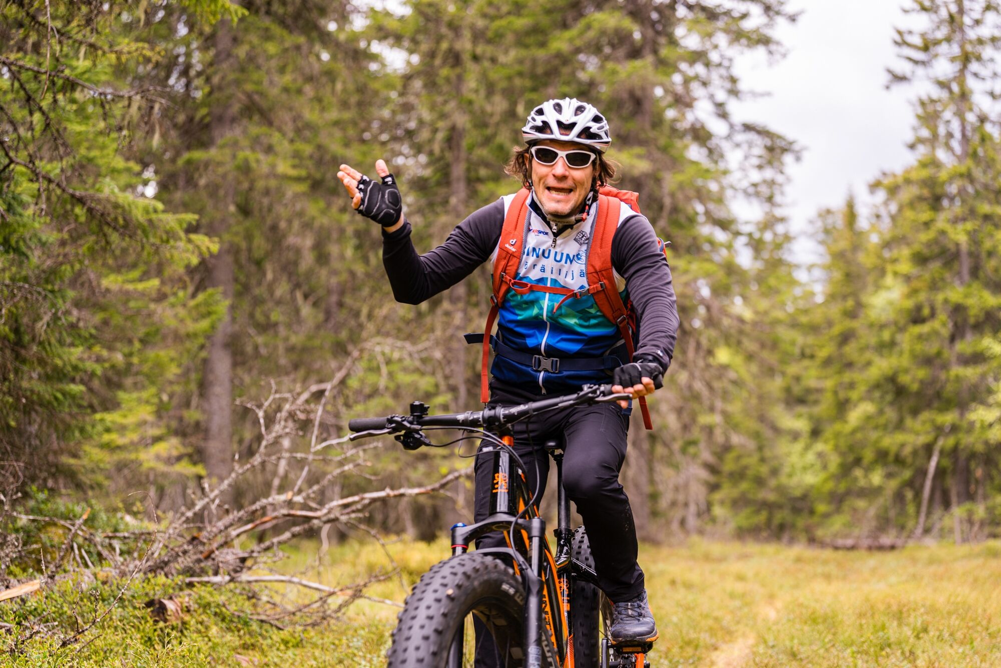
The route is accessible by mountain bike.
Find mountain bike rental information here: paljakka.fi and ukkohalla.fi
Always wear a helmet!
The route runs for short distances on public roads, where you should watch out for other traffic.
There may be gaps in the mobile network.
Download and activate the 112 app. Take first aid supplies with you.
In rainy and wet weather, duckboards, rocks and roots can be very slippery.
There might be also other cyclers and hikers on the trail.
You can find lots of information on mountain biking in the Finnish nature here: nationalparks.fi
In case of emergency, call 112.
Google maps / navigator: Matkailukeskus Paljakka (Puolanka /Kotila).
From Kajaani: From Kajaani (national road No. 5) for about 40 km. At Ristijärvi turn in the direction of Puolanka (road No. 888), and drive about 23 km. Turn right at the junction where is a shop (Hoikanvaarantie) and drive about 3 km. Then turn right to Paljakka ski center.
From Paltamo: Drive towards Puolanka direction about 25 km. Turn to the right towards the Ristijärvi (road No. 888), and drive about 10 km. Turn right at the junction where is a shop (Hoikanvaarantie) and drive about 3 km. Then turn right to Paljakka ski center.
From Oulu: From Oulu to Utajärvi, then towards Puolanka. Drive past Paltamo-Puolanka, to Kajaani direction about 26 km and then turn left (road No. 888), and drive 10 km. Turn right at the junction where is a shop (Hoikanvaarantie) and drive about 3 km. Then turn left to Paljakka ski center.
There is no regular public transport to Paljakka or Ukkohalla.
Free parking at the tourist centers
Komulanköngäs Waterfalls, the top of Iso-Ypykkä hill and the Paljakkavaara observation tower are all worth a visit.
Popularne wycieczki w okolicy
Kokko Harju hiking route to Komulanköngäs 9 km, Ukkohalla
średniWędrówka 8,97 kmVorlok route hiking trail 14 km, Ukkohalla
ciężkiWędrówka 13,5 kmLatvavaara mountain biking route 10 km, Paljakka - Puolanka
średniMountainbike 10,2 kmIlveskota mountain biking route 16 km, Paljakka - Puolanka
średniMountainbike 16,4 kmPienenmäen route 12.6 km, Ukkohalla
średniMountainbike 12,5 kmFell Conquest snowshoeing 2.8 km, Ukkohalla
ciężkiRakieta do chodzenia po śniegu 2,86 kmFishing route 6 km, Paljakka
światłoTrasa tematyczna 6 kmIlveskierros 14 km, Paljakka
ciężkiWędrówka 13,8 kmMetlanmetsä mountain biking route 3.5 km, Paljakka - Puolanka
światłoMountainbike 3,47 kmVorlokki mountain bike route 13.3 km, Ukkohalla
ciężkiMountainbike 13,2 km
Wędrówki i tropienie


Nie przegap ofert i inspiracji na następne wakacje
Twój adres e-mail została dodana do listy mailingowej.





