



Jämäs paddling route 12 km, Kuhmo

Poziom trudności: 5
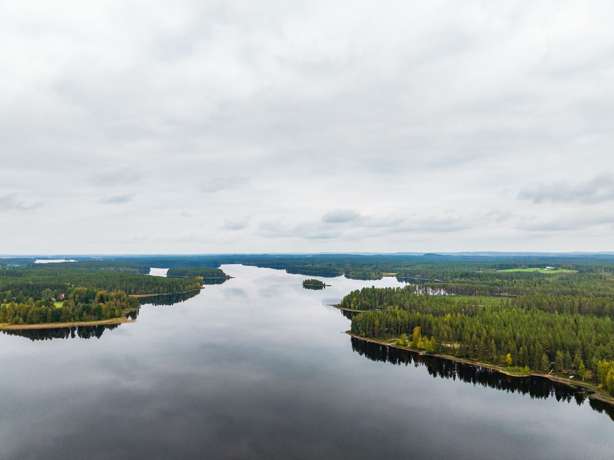
The Jämäs paddling route offers moderately easy rapids, gentle currents, and a glimpse of the waters at the eastern end of Ontojärvi. The Pajakkajoki river, starting from Kuhmo center, is a swift flow...
The Jämäs paddling route offers moderately easy rapids, gentle currents, and a glimpse of the waters at the eastern end of Ontojärvi. The Pajakkajoki river, starting from Kuhmo center, is a swift flow with calmer pool sections between the rapids.
The route is not suitable for beginners as it has rapids. However, the rapids are relatively easy, with quite straight lines of descent. Difficulty varies with water level. Pajakka and Akonkoski rapids are classified as difficulty level I-II.
Official rest spots
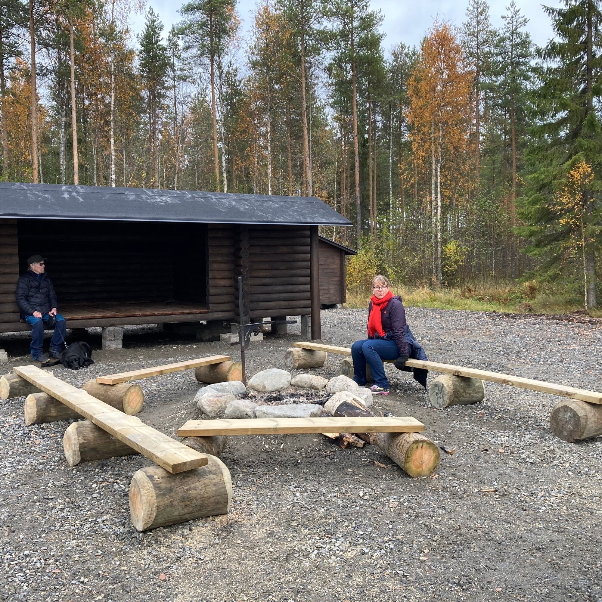
Lean-to at the pool of Pajakkakoski Rest spots at Akonkoski and Saarikoski - on the south shore halfway through the rapids (difficult to access by paddling).Otherwise, landing is done according to everyman's rights, but note there are many inhabited shores along the way.
Both start and end points are accessible by car.

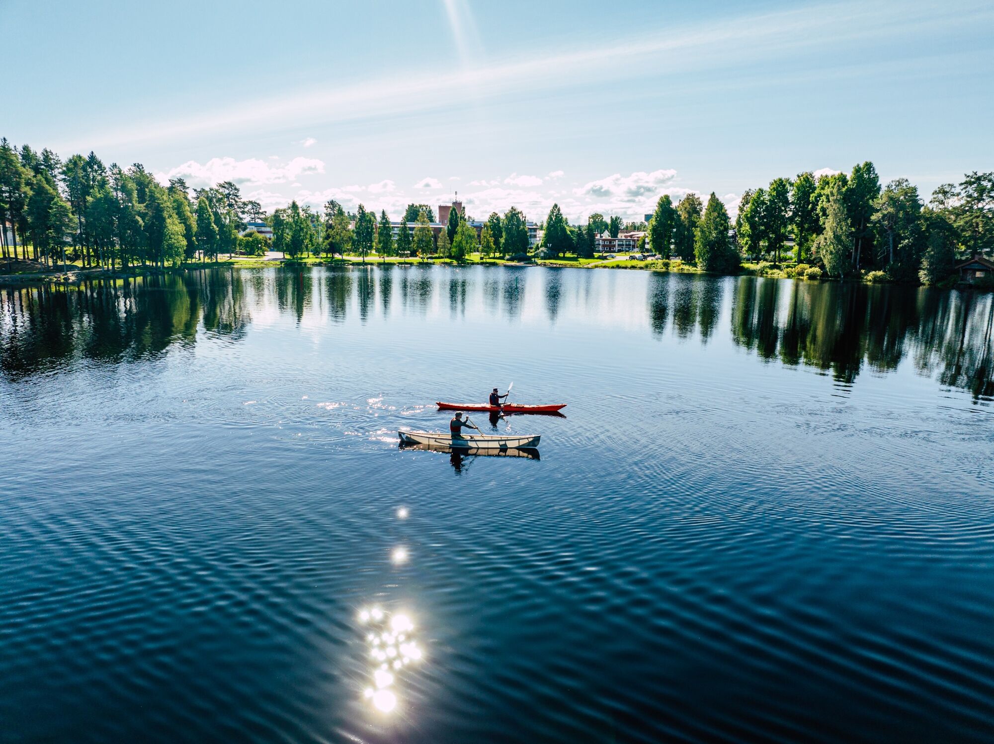
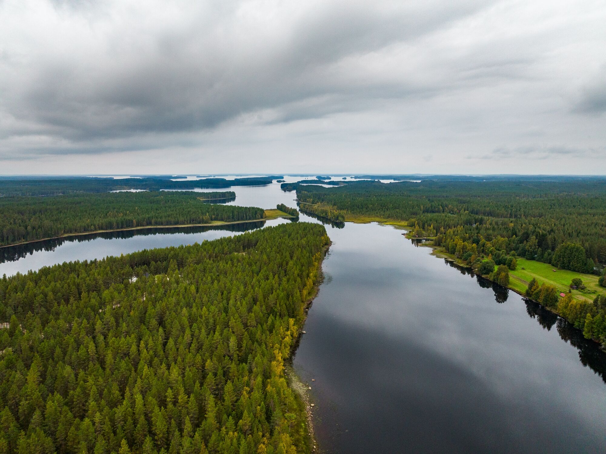
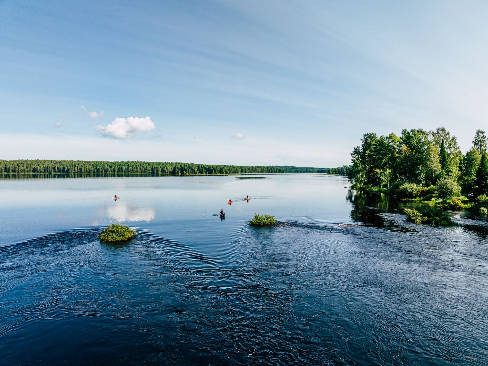
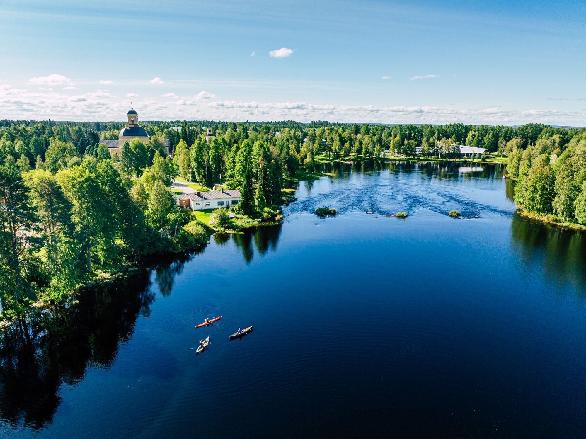



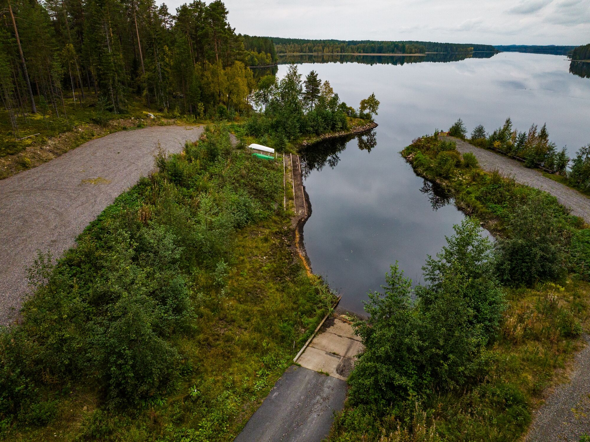


The starting point of the route is the kayaking dock at the guest marina of Maakunnanranta in Kuhmo center. There is also a boat ramp on the shore.
The route heads west between the old Ikola parsonage and hospital towards Pajakkakoski. The Pajakka river has three rapids and one shallow stretch. After the Pajakkakoski rapid, there is a lean-to shelter on the north shore of the pool.
After Akonkoski and Saarikoski, you arrive at Ontojärvi. Head southeast between Huovisenniemi and Hiltulanniemi (an island) towards Jämäslahti. Note to choose the bay on the west side at Lukanniemi.
Towards the end of the route, there are channel signs pointing to the Jämäslahti boat dock. There is a boat ramp at the shore, and you can land, for example, in its basin.
Rapid Classifications
PAJAKKAKOSKI:
Upper Pappilanvirta (before the pool at the drop), channel on the right side in the rightmost opening of the old bridge arches (on the parsonage shore side). Shallow stretch. Rapid classification I-II, length 450 meters, drop height 2.4 m. The rapid's descent channel is next to the stone outlet, called möljä, on the right side. The rapid can be bypassed via the möljä or the paths on both shores.AKONKOSKI:
Descent channel on the right side. Rapid classification I (easy). Drop height 0.5 m. There are no good landing places for paddlers.PYSSYNIVA:
Short and easy shallow stretch before Saarikoski.SAARIKOSKI:
The rapid follows the main flow down the right side of the island. Rapid classification I/II, drop height 1.7 m. The rapid can be bypassed by the fishermen's path on the left shore or by dragging along the paved right shore in shallow water.Passable by canoe and kayak as well as boats suitable for rapids.
The route is suitable for paddlers with some experience.
Note that the lake sections have wind-exposed areas that can cause waves.
In summer, there may be some motorboat traffic on the lake section. Paddlers must yield to other water traffic.
Plan your paddling route according to your skills. On lake sections, paddle close to the shore and scout the rapids from the shore in advance. Look at aerial photos of the rapids to see the main flow.
Always wear a life jacket while paddling.
Secure all gear well to the canoe, preferably in a waterproof bag or container. Pack first aid supplies, change of clothes, matches, and a phone in waterproof packaging.
It's safest to paddle with a friend or group, especially if you're unfamiliar with the water area.
Check weather forecasts before your paddling trip. Pay attention to wind direction and strength on the open lake.
Bring a change of clothes along with snacks and drinks as there are no resupply points along the route.
If you get into an emergency during your trip, call the emergency number 112 and make an emergency call notification.
Runontie and Rajantie roads, main road 75 from Nurmes to Kuhmo. You can also get to Kuhmo via Kajaani by first taking main road 5 to Kajaani and then main road 76 to Kuhmo.
You can reach Kuhmo by bus from Kajaani via Vuokatti and Sotkamo. Maakunnanranta is within walking distance from the bus station.
Jämäslahti is also on the bus routes coming from Kajaani.
Free parking next to the starting point. There is also ample parking at the Jämäslahti boat dock.
5
The rapids are good fishing spots - note the regulations and restrictions for rapid fishing!
Alternative endpoint: Paloniemi boat dock, about 2 km longer.
Popularne wycieczki w okolicy
-
Harakkasaari SUP paddleboarding and kayaking route 3.5 km, Kuhmo
światłoKajak / Canoe 3,37 km -
Pajakkakoski rapid trail 1 km, demanding accessible, Kuhmo
światłoTrasa tematyczna 1,12 km -
Paddling from Maakunnanranta to Lentuankoski 8/16 km, Kuhmo
średniKajak / Canoe 7,54 km -
Lentuankoski trail 0.8 km, accessible, Kuhmo
światłoTrasa tematyczna 0,77 km -
Paddling to Lammasjärvi Honkinen 12/24 km, Kuhmo
średniKajak / Canoe 11,5 km -
Kuhmo Lakeside trail 4.8 km, Kuhmo
światłoTrasa tematyczna 4,77 km -
Lauttavaara nature trail 2.5 km, Lentua
światłoTrasa tematyczna 2,27 km -
Leskensaaren kierros paddling route 5 km, Kuhmo
światłoKajak / Canoe 5,04 km -
Syväjärvi shoreline trail, 4.5 km, Kuhmo
światłoWędrówka 4,40 km -
Petola nature trail 0,5 km, Kuhmo
światłoWędrówka 0,39 km
Wędrówki i tropienie


Nie przegap ofert i inspiracji na następne wakacje
Twój adres e-mail została dodana do listy mailingowej.


