






Bergeralm
Poziom trudności: 3
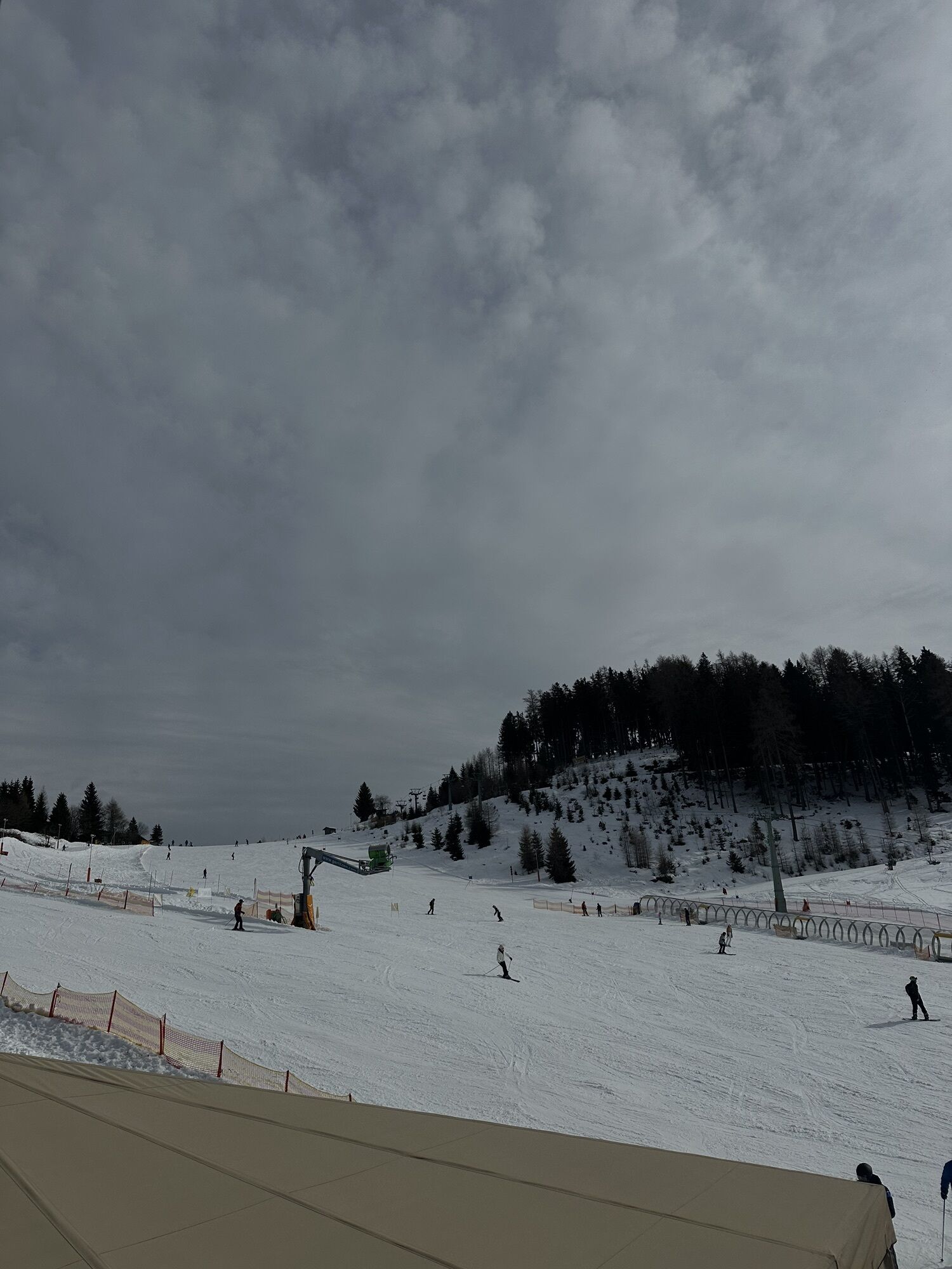
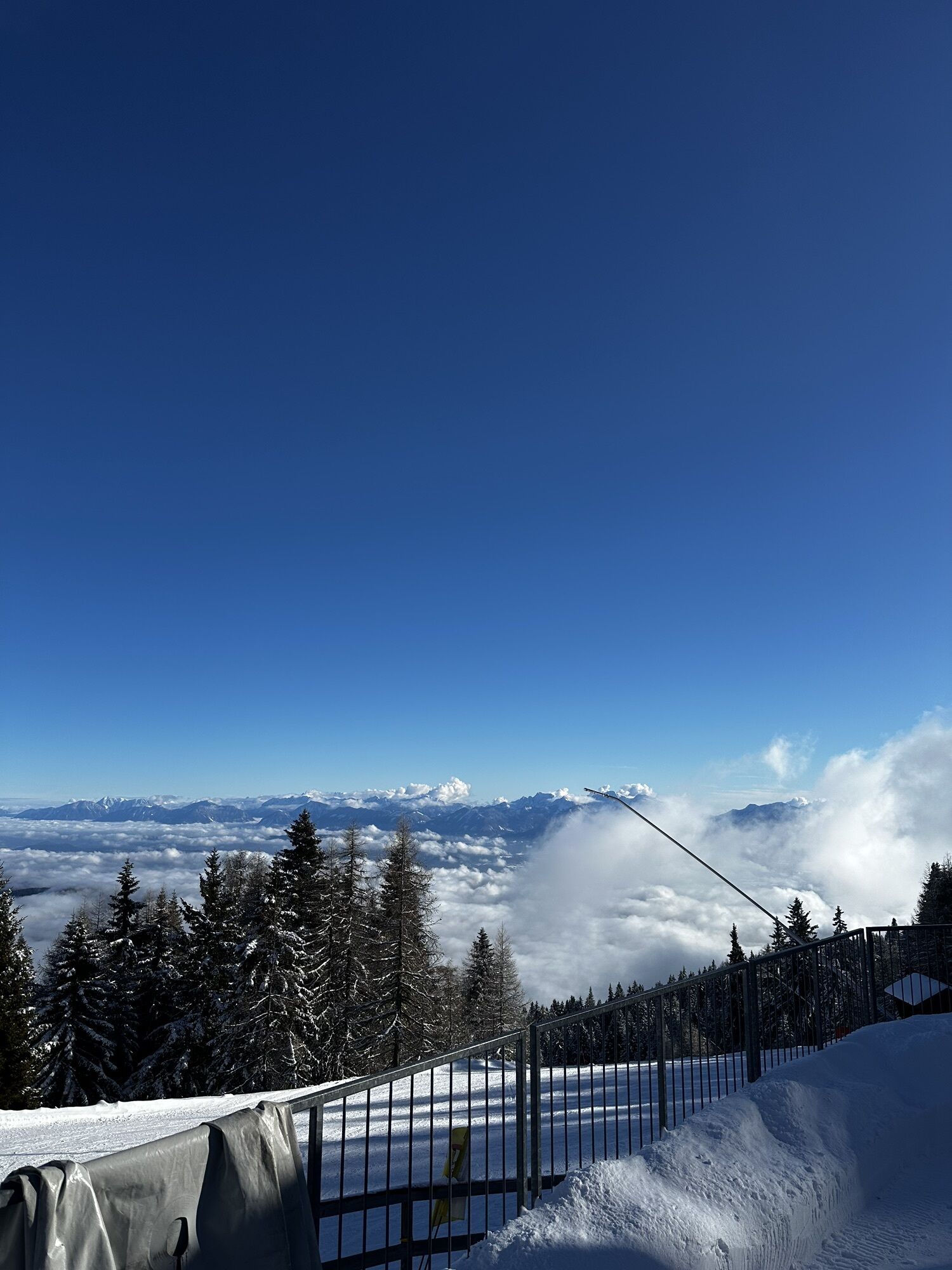
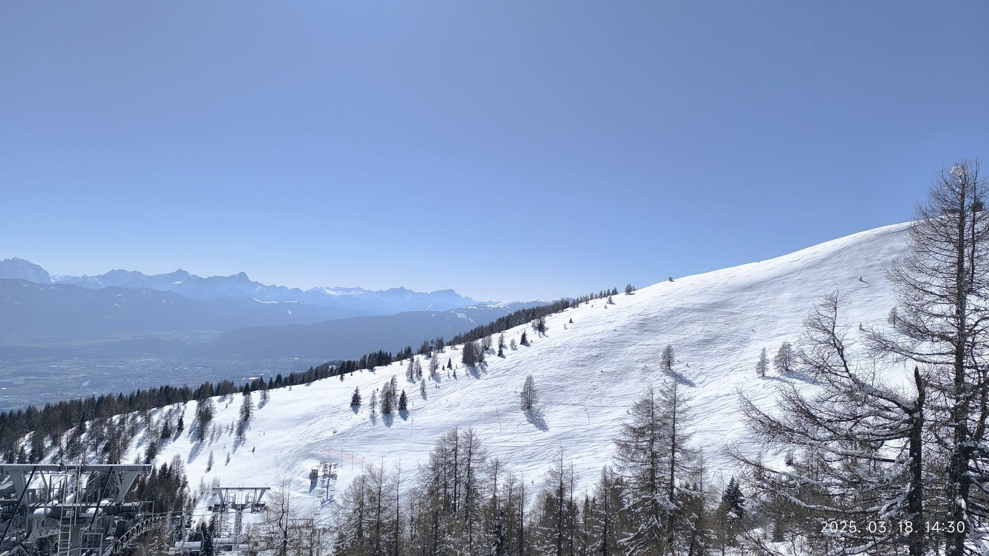
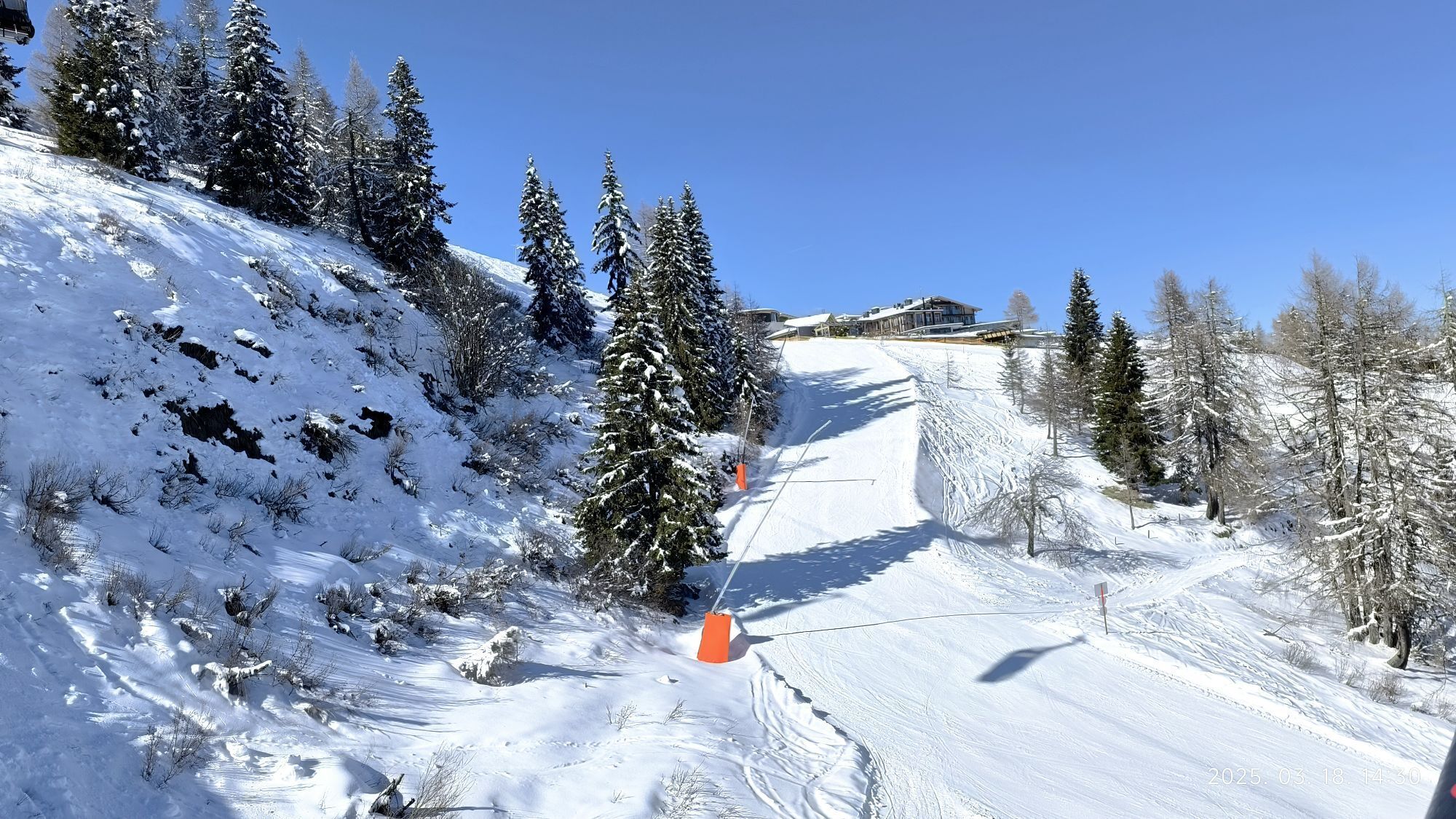
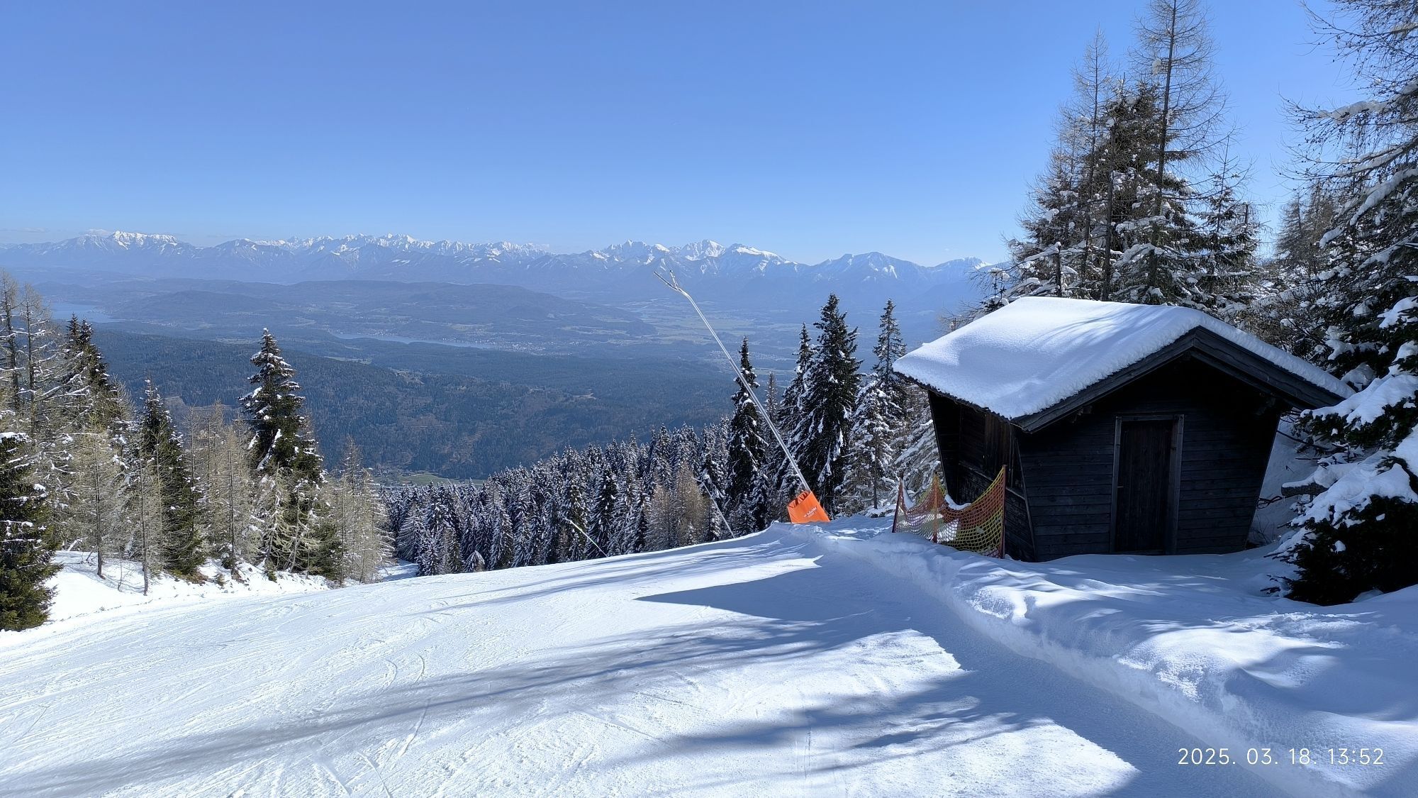
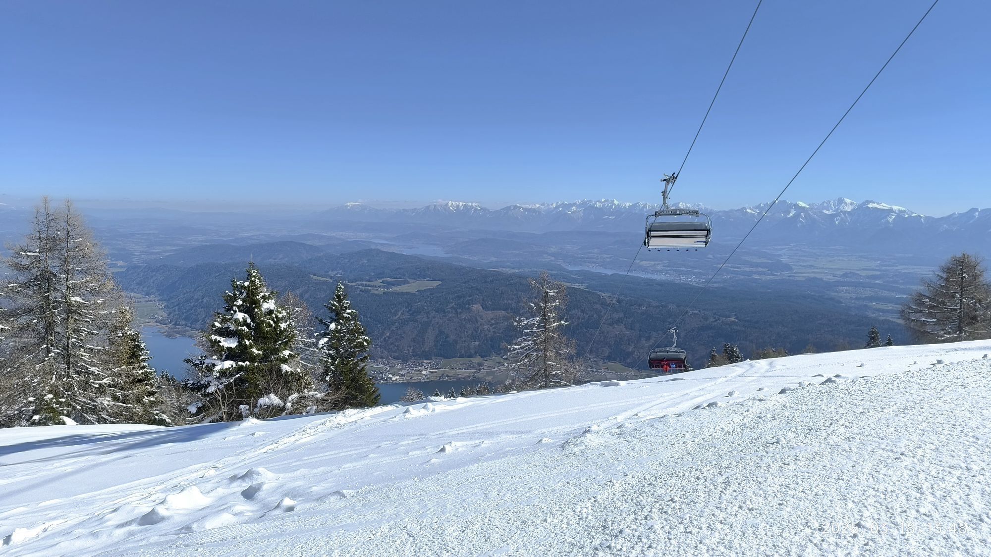

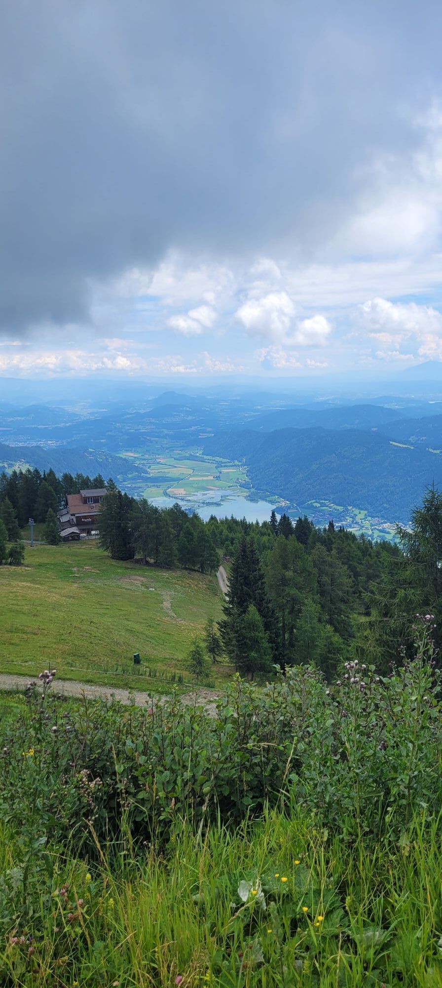
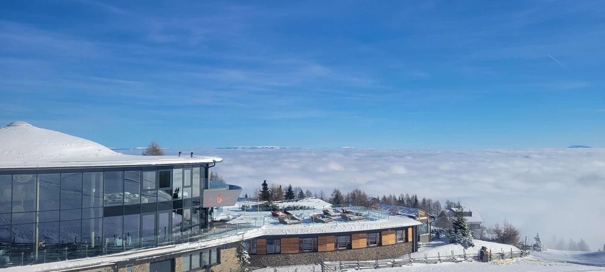
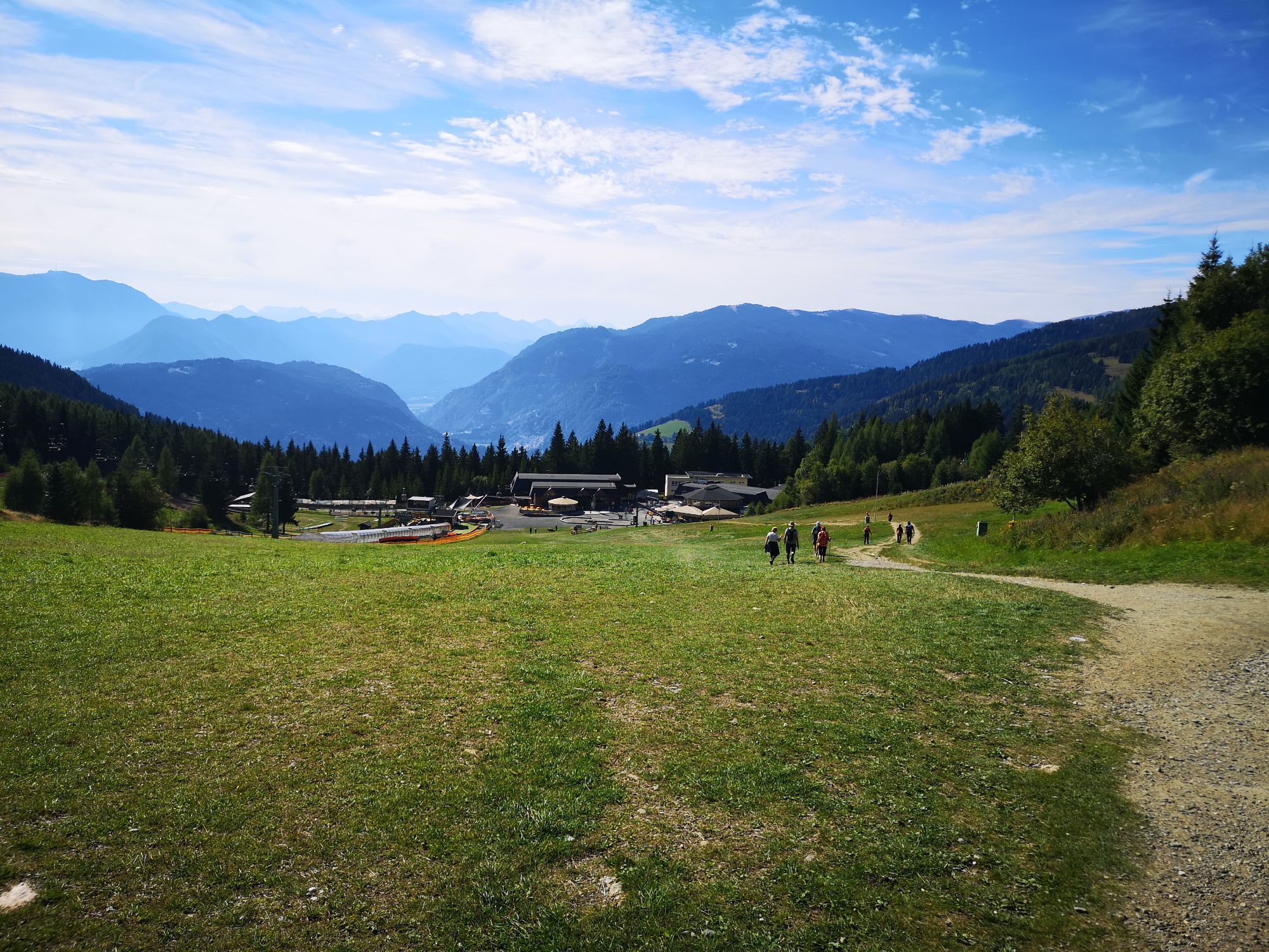
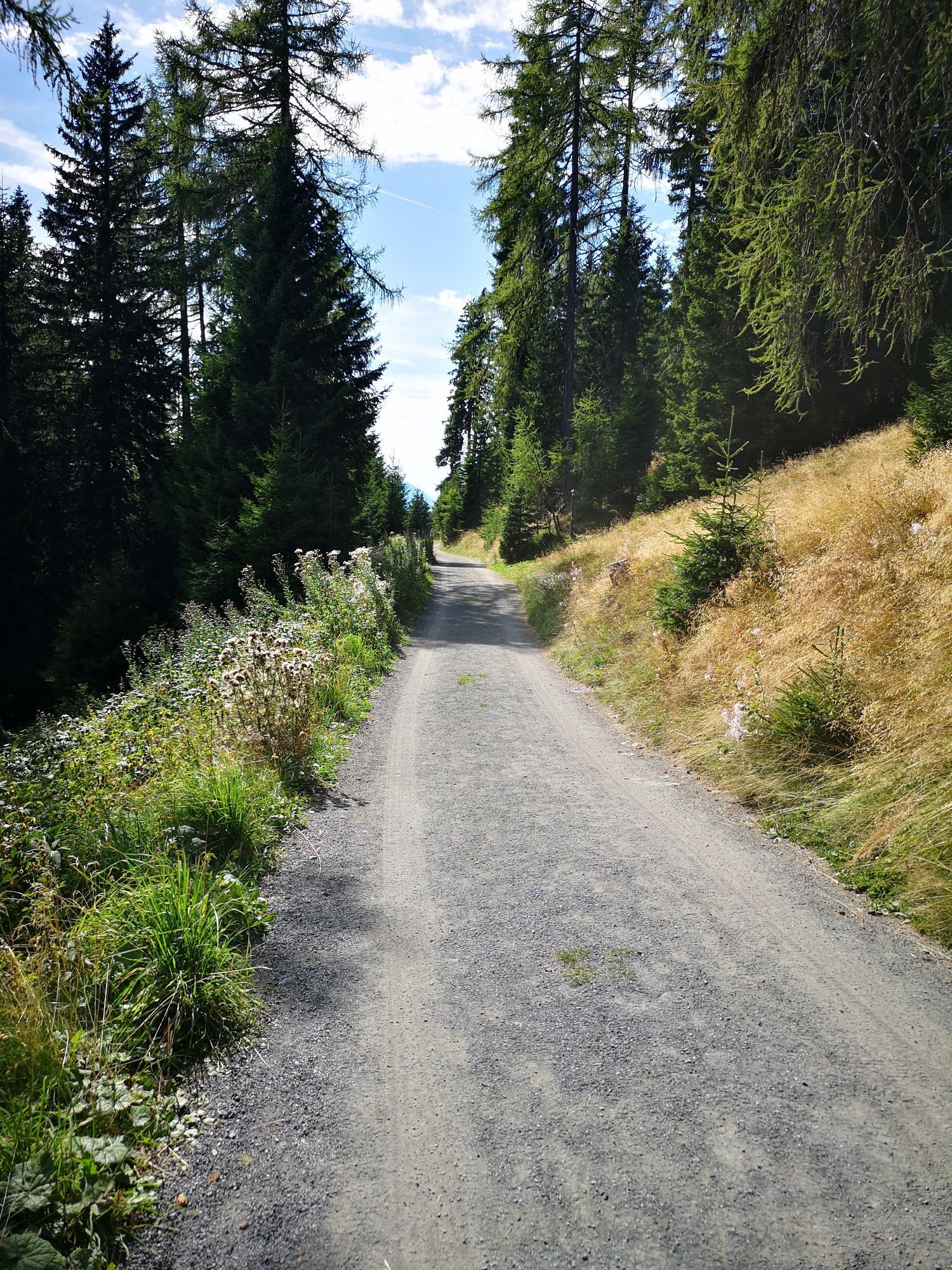
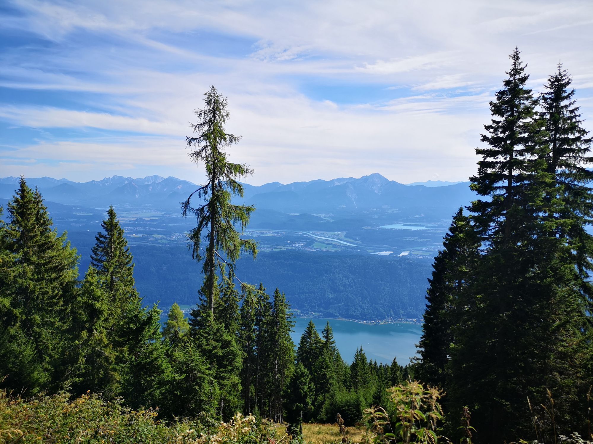
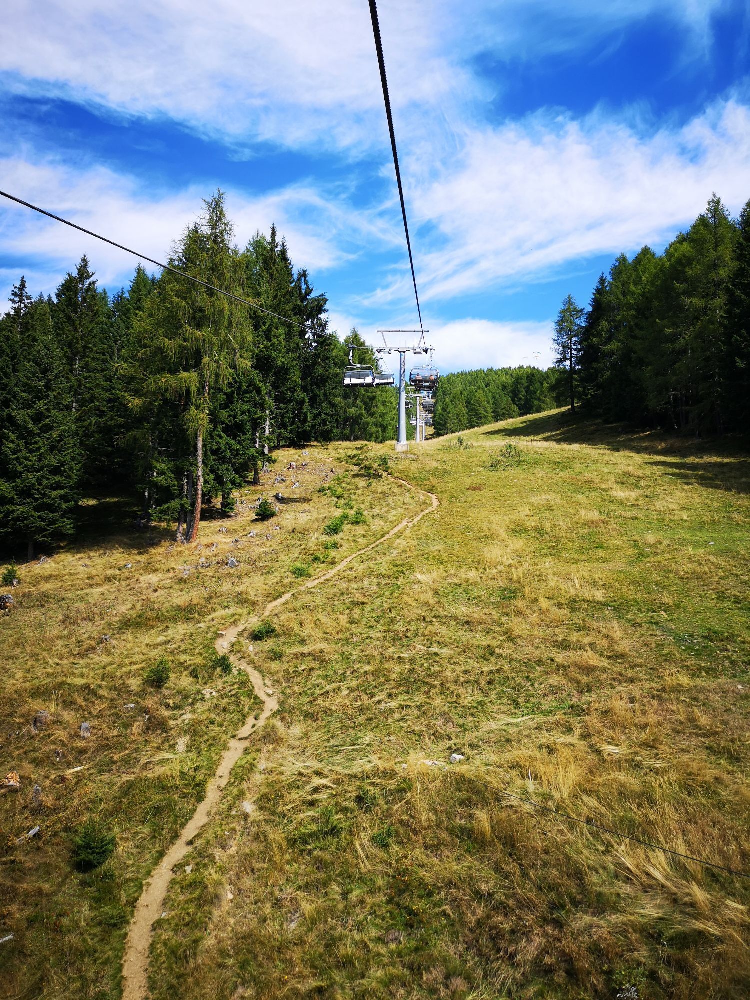
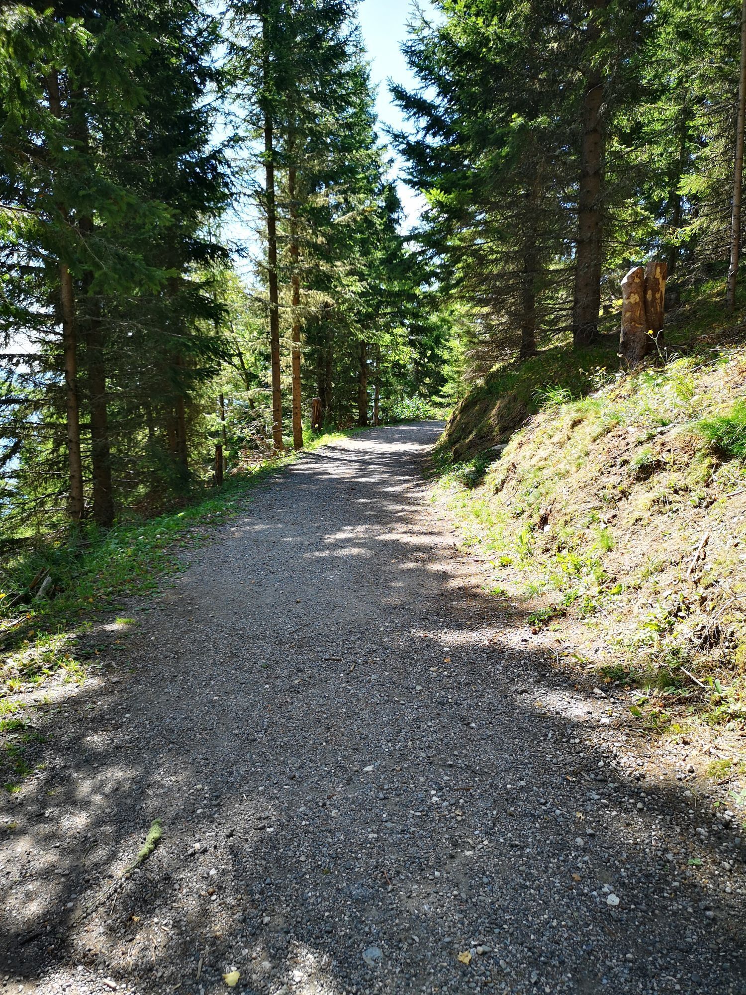
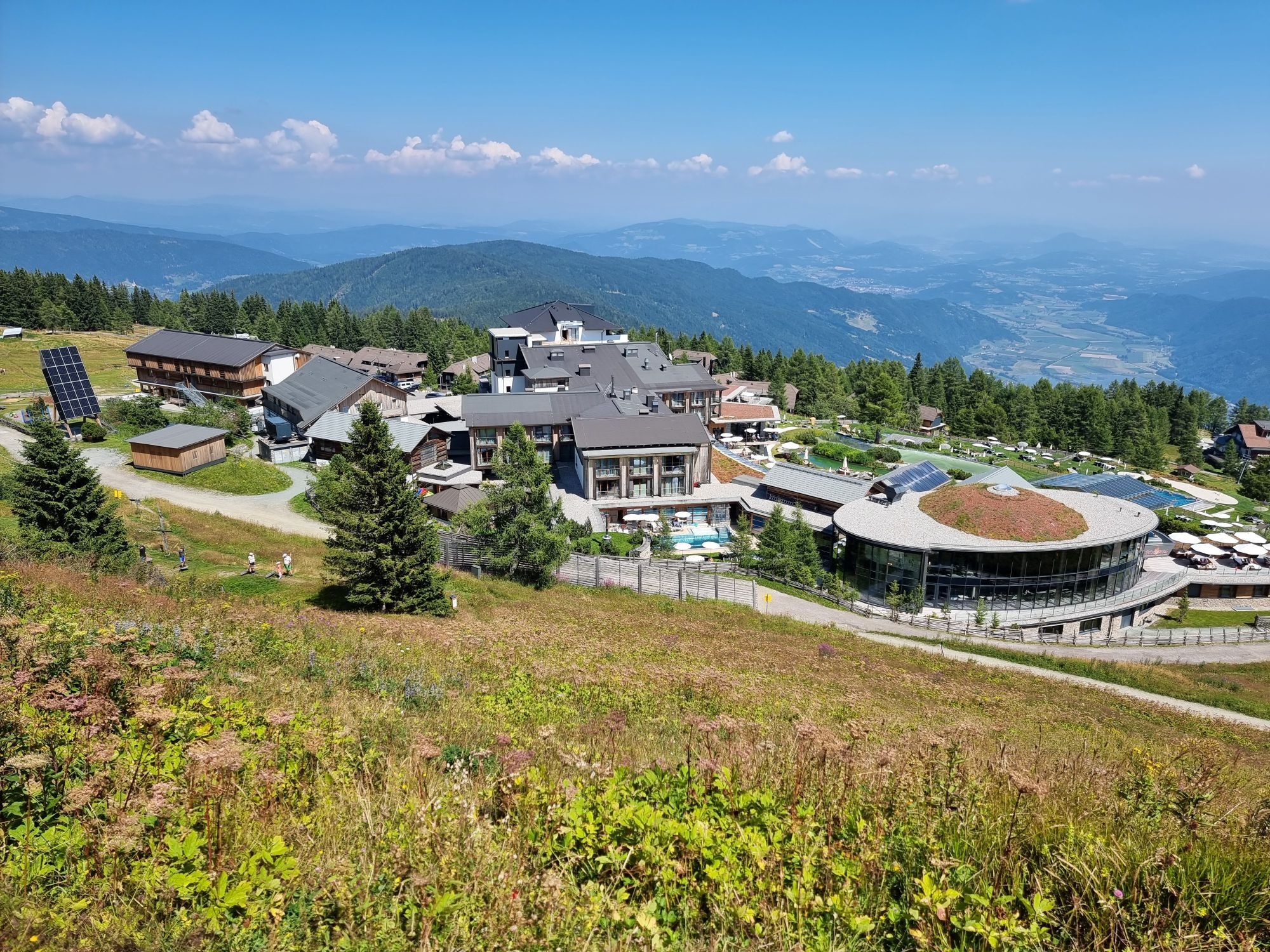
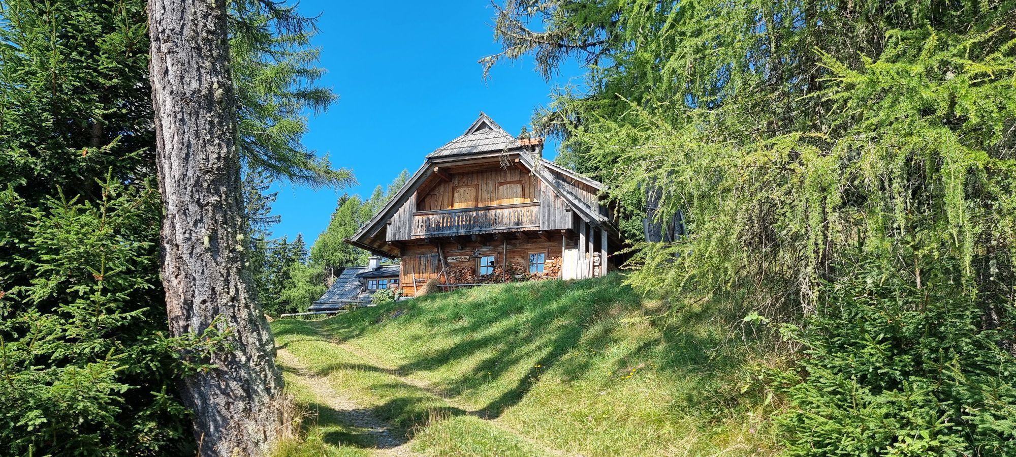
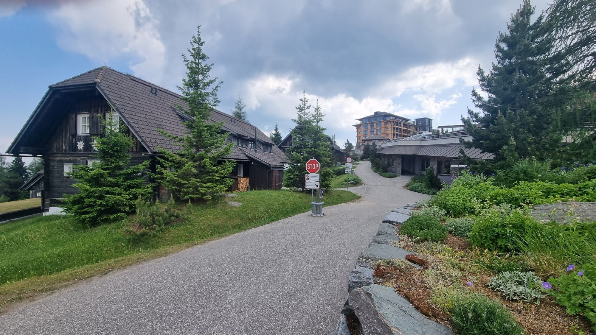
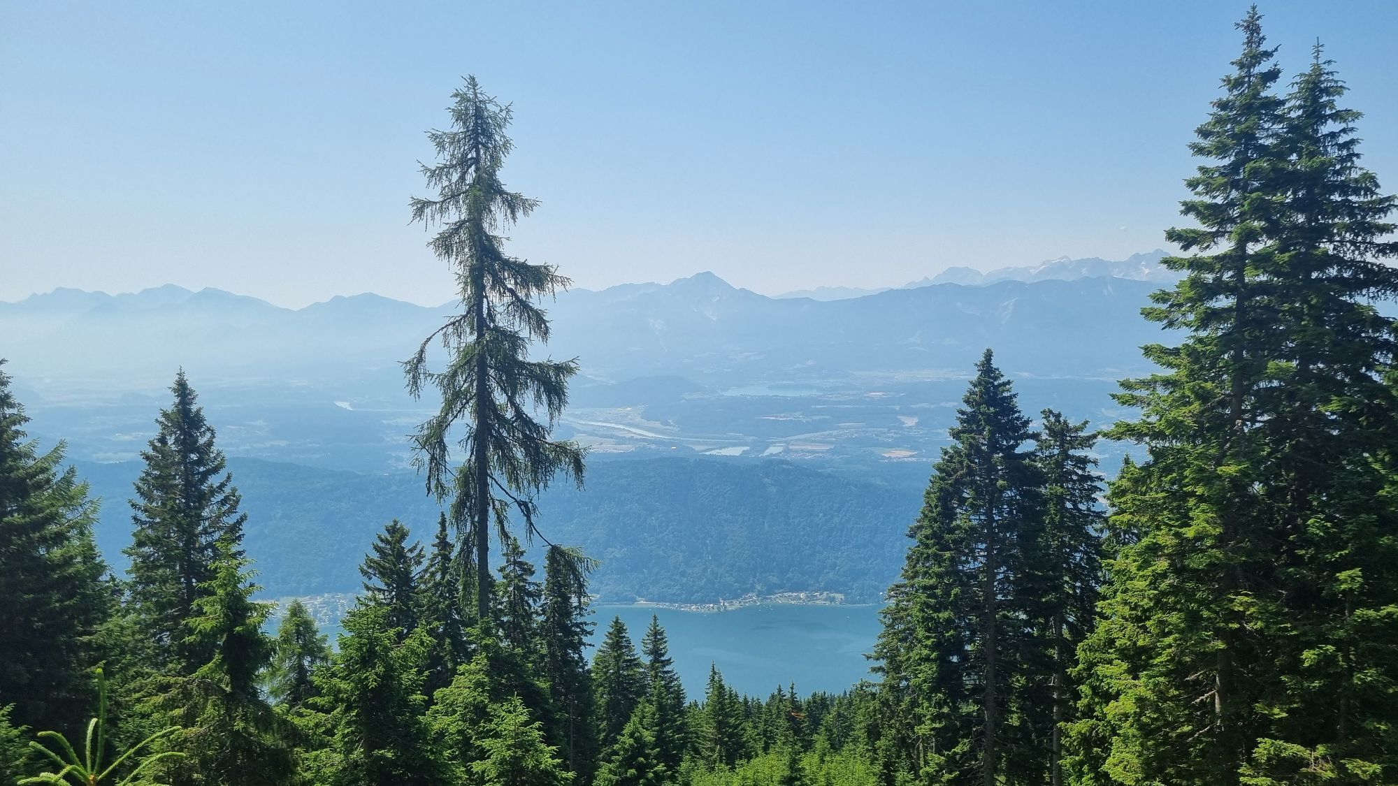
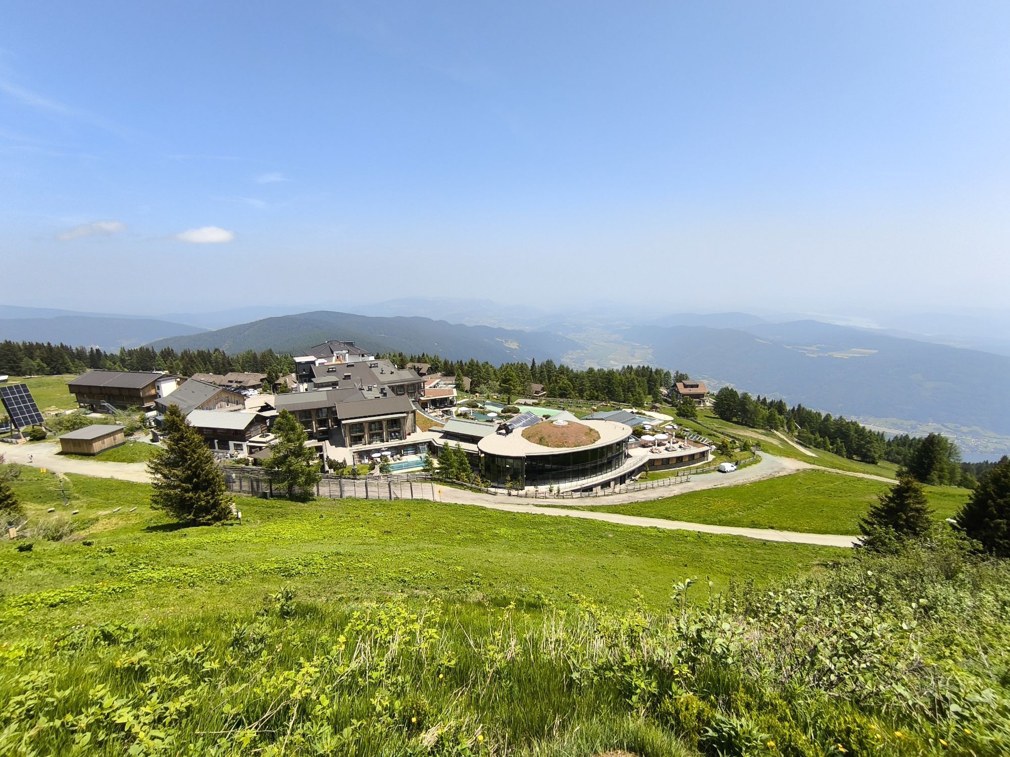
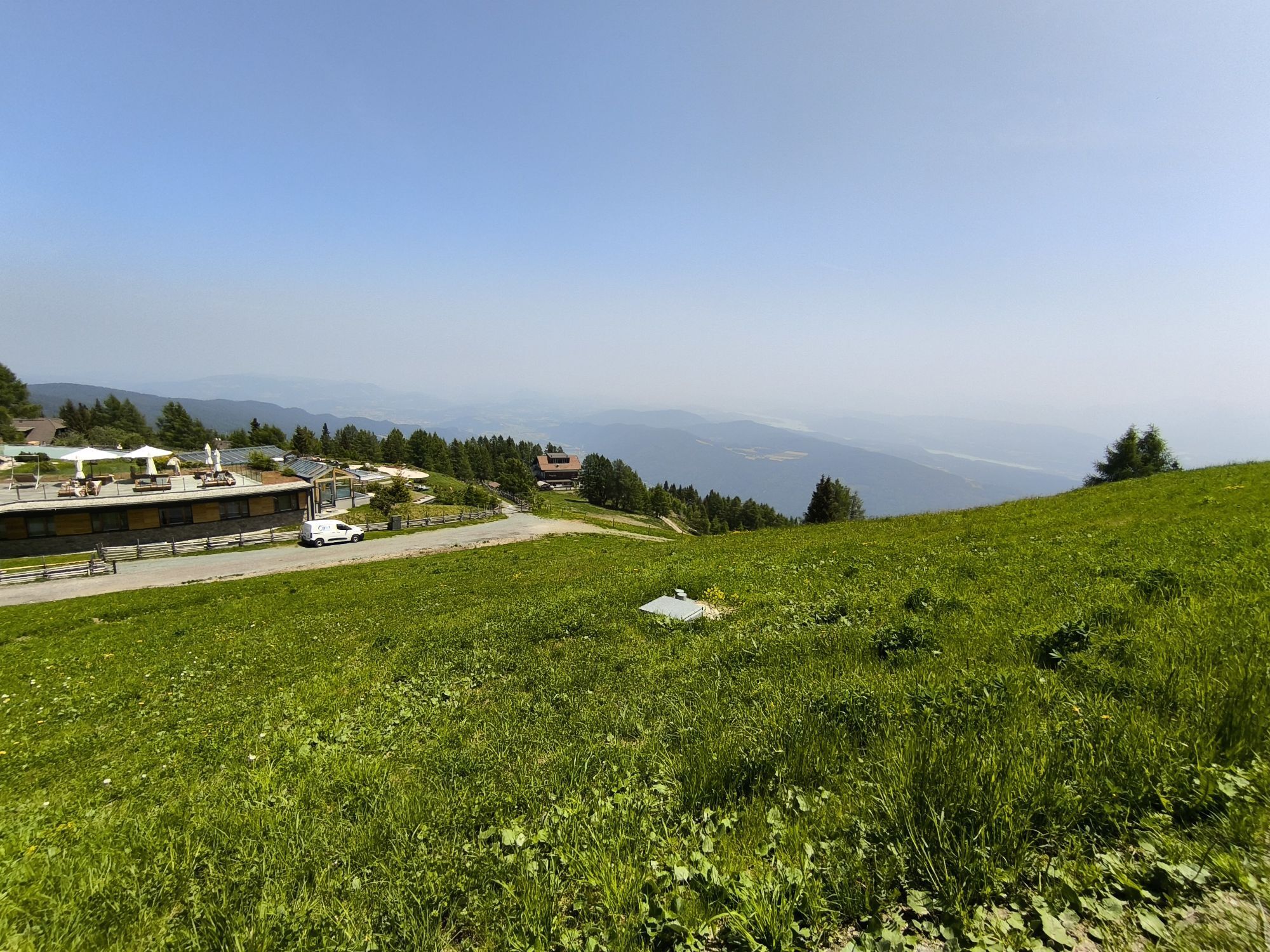
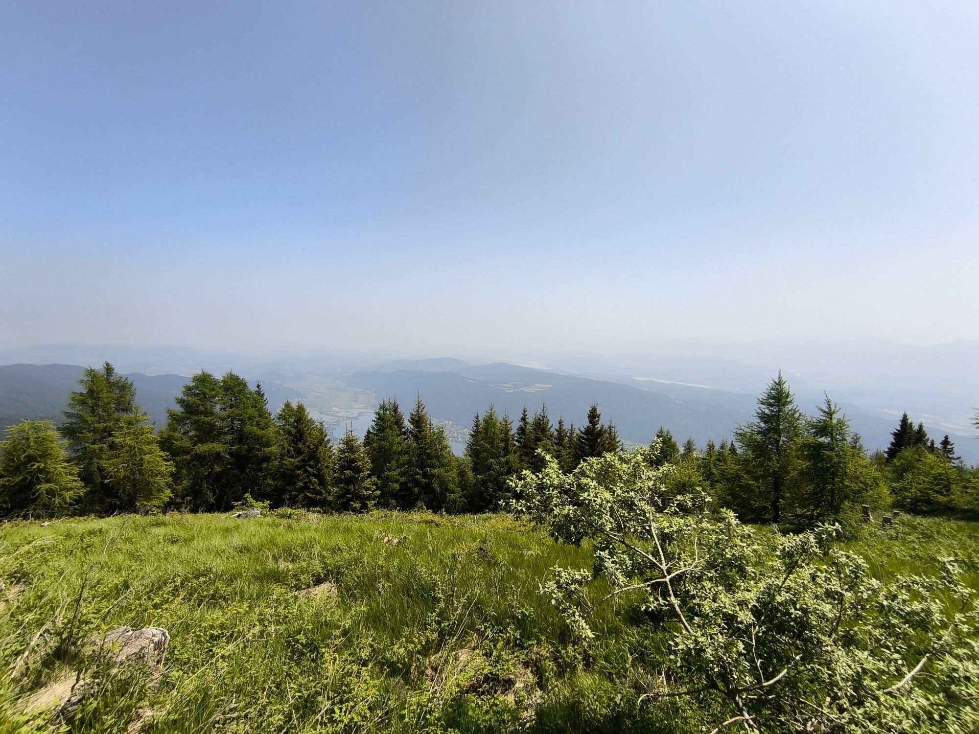
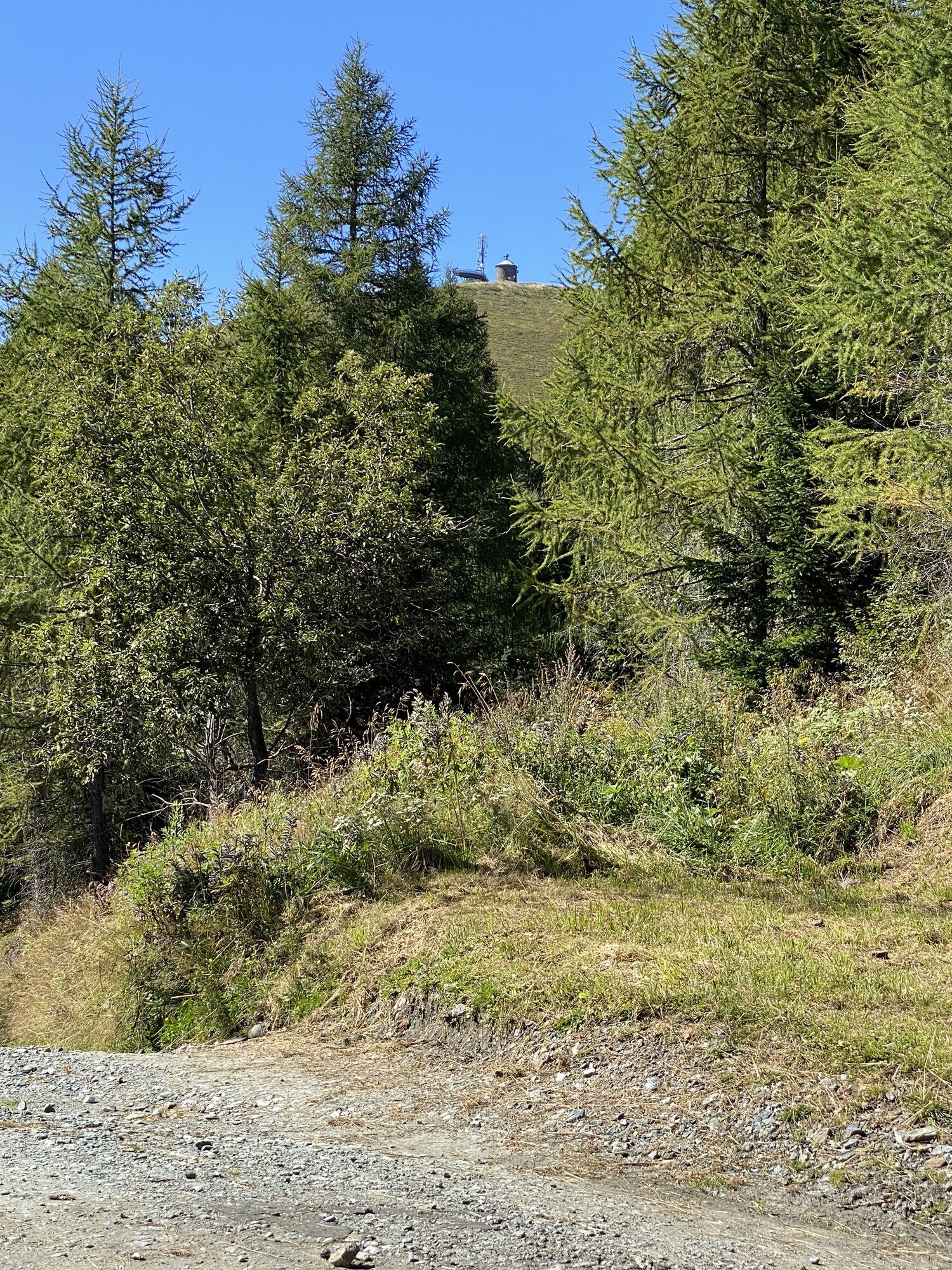
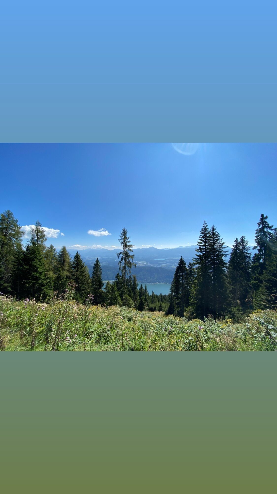
The winter hike to Bergeralm is a moderately difficult hike which leads through beautiful forests and settlements. The highlight is the view over the Carinthian lowlands, the Karawanks, the Julian Alps...
The winter hike to Bergeralm is a moderately difficult hike which leads through beautiful forests and settlements. The highlight is the view over the Carinthian lowlands, the Karawanks, the Julian Alps and the Bleistätter Moor in the area of Bergeralm. An stop at the Pöllinger Hut is also possible via a detour.
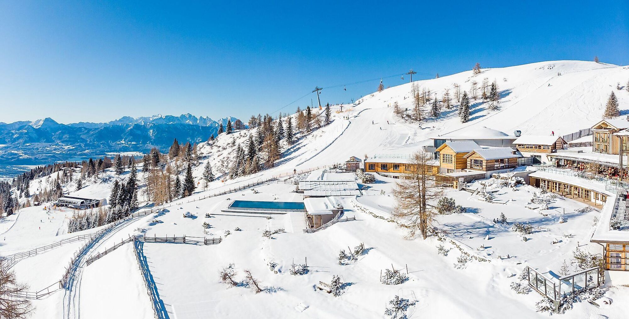

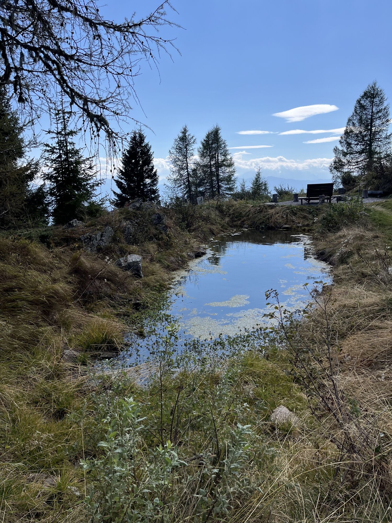
Starting from the Kanzelbahn - mountain station, you go around the restaurant Sunn Alm counterclockwise, passing the public toilet and the sledge hill. After the short climb of the sledge hill, you reach the reservoir pond. Here in winter is also the first signposting towards Steinwenderhütte (path no. 31). Follow the path in this direction and after the reservoir pond you reach a small parking lot and shortly afterwards the road to the Waldtratte parking lot.
Following the road uphill, you pass through a tunnel (caution!) and reach the parking lot. Here is the signpost to Bergeralm (path no. 52/176). Follow the signposting along the continuing road and after a few minutes walk cross the piste (caution!). On the opposite side you pass the next signposting, which leads the hiker without gaps through the Pöllinger settlement and Schönfeld settlement to Bergeralm (path no. 176/33).
At the Bergeralm a small detour is still possible. The return route follows the route known from the ascent. The short detour to the Pöllinger Hut is recommended (caution! piste crossing).
Tak
Winter-proof mountain boots with profile soles, backpack, winter clothing, hiking poles, crampons, food and drink, map material, first aid, mobile phone
CAUTION! In the section from the Waldtratte parking lot to the Pöllinger settlement and Schönfeld settlement to Bergeralm, the piste must be crossed each time. Due to ski operations, please pay particular attention to your children and yourself here. Because of piste safety, the positions of the hiking trail signposting must also be partially dismantled for the winter season.
Annenheim is best reached via the A10 exit "Villach-Ossiacher See". From there, take the Gerlitzen Kanzelbahn up to the summit.
Annenheim is accessible at regular intervals by public transport.
There are enough parking spaces in the valley area.
3
Kamery internetowe z trasy
-
Gerlitzen Gipfel
-
Gerlitzen Gipfel
-
Gerlitzen Gipfel
-
Gerlitzen Gipfel
-
Ossiach/Ossiachersee
-
Ossiach/Ossiachersee
-
Ossiach/Ossiachersee
-
Ossiach/Ossiachersee
-
Ossiach/Ossiachersee
-
Ossiach/Ossiachersee
-
Annenheim/Ossiacher See
-
Gerlitzen Gipfel
-
Hotel SeeRose
-
Ossiacherberg
-
Bodensdorf am Ossiacher See
-
Bodensdorf am Ossiacher See
Uzyskaj wgląd
Zawsze na żywo z ponad 9 500 kamer internetowych. bergfex Jako użytkownik Pro, możesz teraz zobaczyć odpowiednie kamery internetowe dla wielu wycieczek w aplikacji wycieczki od. Pozwala to na bezpośredni podgląd aktualnych warunków.

Popularne wycieczki w okolicy
-
4,4
Finsterbach Waterfalls - Circular route
średniWędrówka 3,87 km -
4,4
Lake circular trail
światłoNordic Walking 9,85 km -
4,2
Slow Trail Bleistätter Moor (Variant A)
światłoWędrówka 7,22 km -
4,7
Hoher Gallin route
średniWędrówka 7,09 km -
4,9
4 Huts route
średniWędrówka 8,96 km -
5,0
Amberg: Palnock 1901m, Schwarzsee, Rundstrecke
średniWędrówka 7,94 km -
4,9
Skitour: FIS K70, Auf Franz Klammers Spuren
średniWycieczka narciarska 11,3 km -
4,0
Schwarzsee circular hiking trail
średniWędrówka 7,79 km -
3,9
Lake Ossiacher See cycle path – R2 & R2A
średniJazda na rowerze 28,2 km -
3,8
Forstsee Route
światłoWędrówka 4,26 km

Wędrówki i tropienie


Nie przegap ofert i inspiracji na następne wakacje
Twój adres e-mail została dodana do listy mailingowej.





