


Warmbad - Birkenhain route
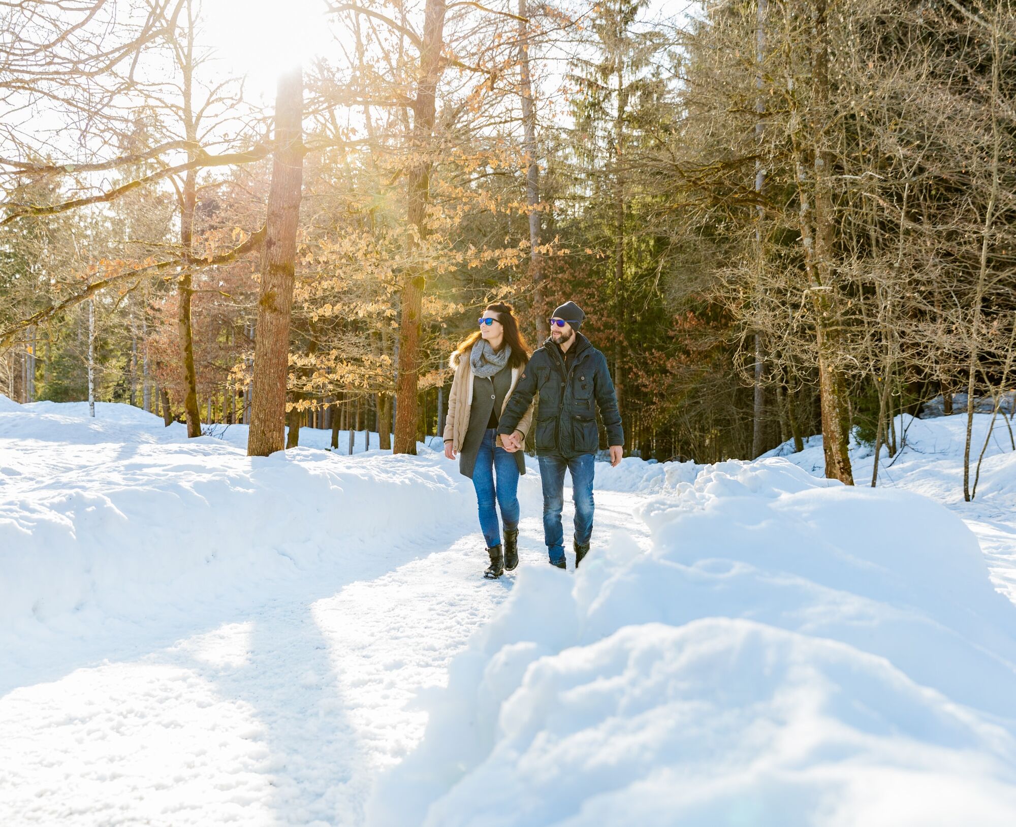
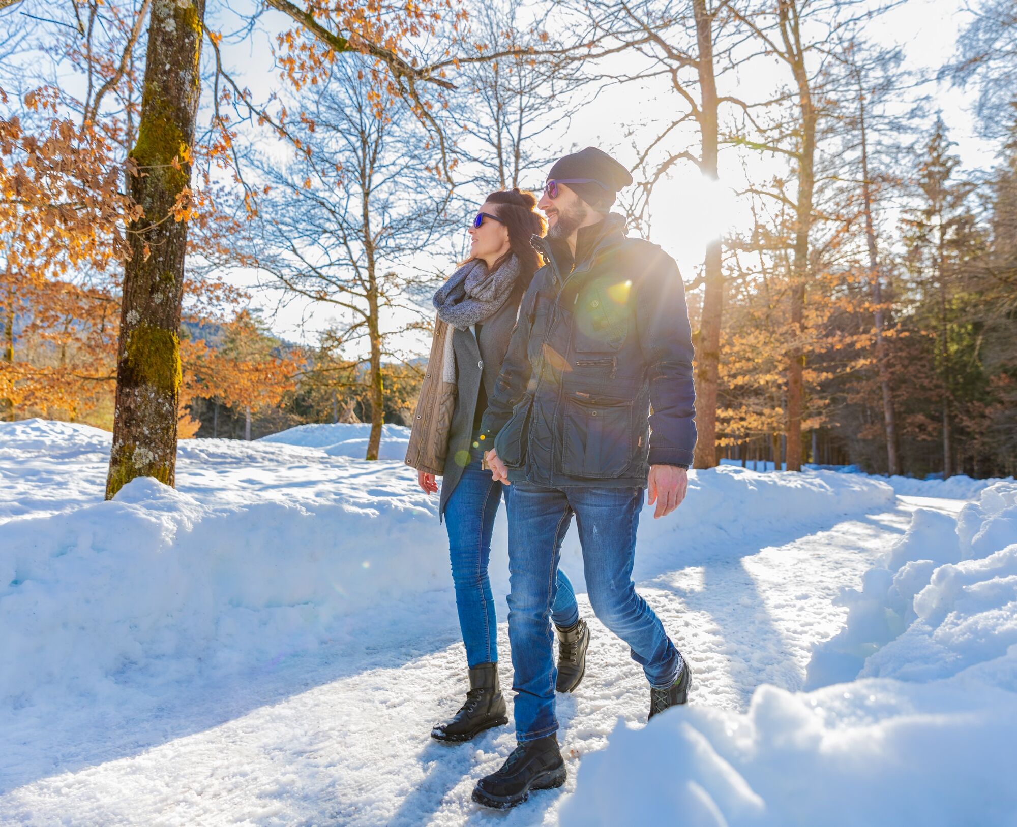
The winter hike through the Warmbad spa area is an easy hike which leads through beautiful forests on the eastern outlier of the Villach Alpe. Highlights are the thematic variety along the path on numerous...
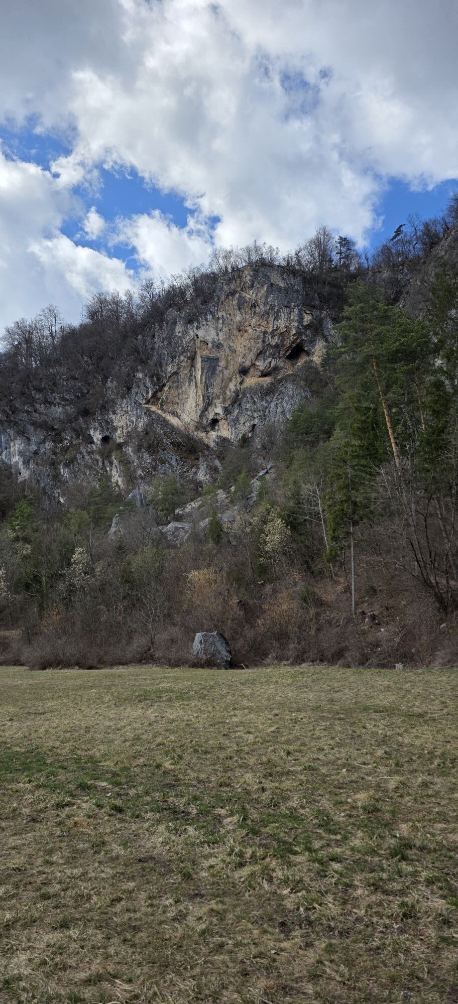
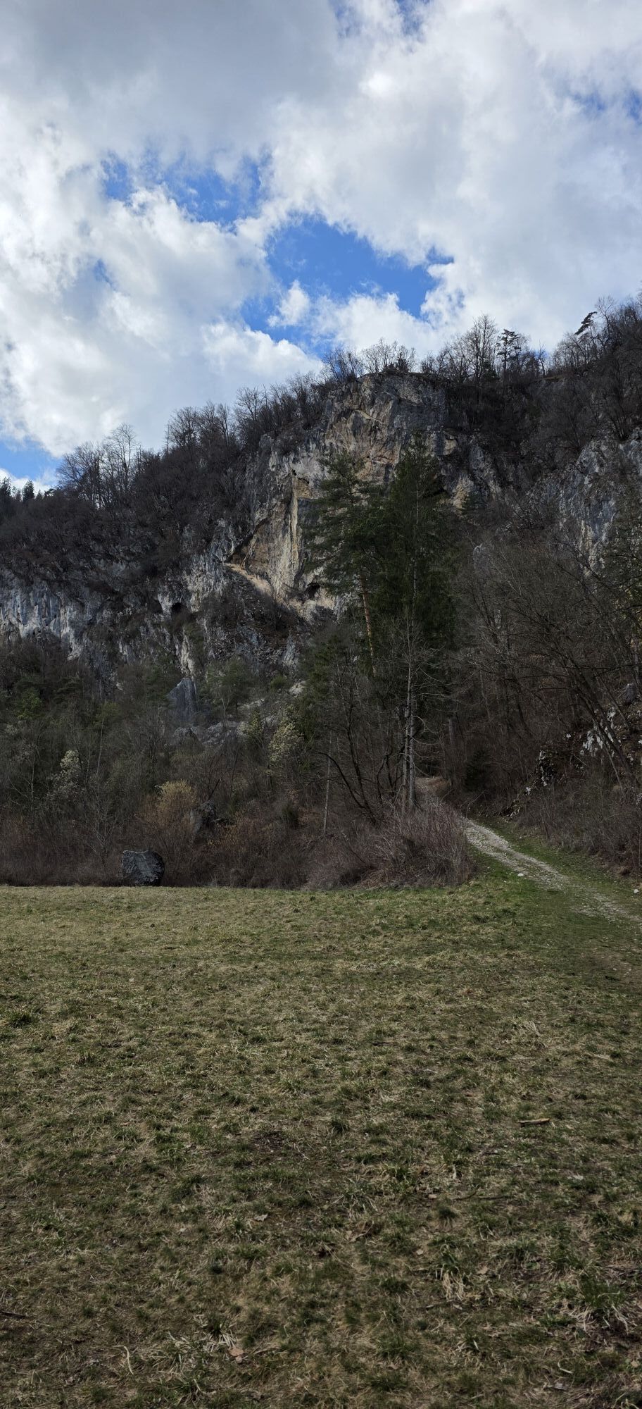
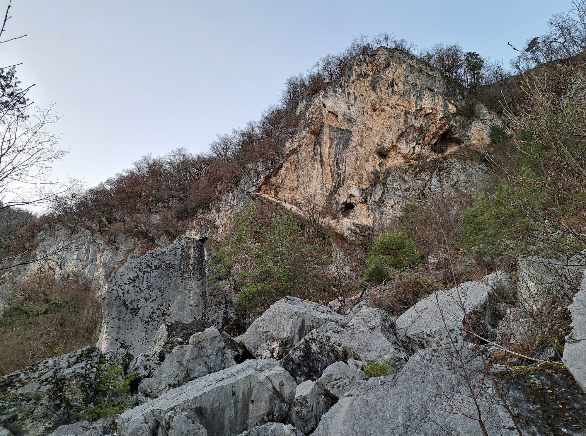
The winter hike through the Warmbad spa area is an easy hike which leads through beautiful forests on the eastern outlier of the Villach Alpe. Highlights are the thematic variety along the path on numerous information boards, the pond at the edge of the Birkenhain, for the motivated the detour to the cave entrance of the Eggerloch, the possible visit to the Kärnten Therme, or the opportunity to stop in for refreshments.

Starting from the train station, cross Warmbader Straße to the Kärnten Therme or continue to the Parklounge in Warmbaderhof. Here, it is recommended to stop on the way back for a warming drink and to take a look at the event calendar.
Follow the paved road to the right and reach the spa park at a signposted intersection. Continue along the path a few meters further towards Josefinenhof and turn left before it to the Dr. Adolf Schäarf Memorial. After the memorial, it is only a few meters to the path that follows the outflow of the Maibacherl. Turning right leads to a bridge with a large overview board, where you turn left onto the ascending paved road. Near the highest point, the paved road turns right again and you now reach the Birkenhain.
From here, circle the Birkenhain counterclockwise, reaching the pond at the westernmost part of the meadow. After circling, descend on the direct forest path to the Chapel of the Holy Trinity and thus reach the spa park, followed by the Warmbad train station.
Tak
Winter hiking boots with tread sole, backpack, winter clothing, hiking poles, crampons, food and drink, maps, first aid, mobile phone
The Warmbad thermal resort can be reached via the Tauern Motorway (A10), the Southern Motorway (A2) towards Italy (exit Warmbad-Villach), and Warmbader Allee.
Warmbad is regularly accessible by public transport.
There are sufficient paid parking spaces at the Kärnten Therme. In the nearby area, there are also free parking spaces.
Popularne wycieczki w okolicy
-
4,5
Auf den Dobratsch mit der ganzen Familie
Wędrówka 8,40 km -
4,4
Finsterbach Waterfalls - Circular route
średniWędrówka 3,87 km -
4,4
Lake circular trail
światłoNordic Walking 9,85 km -
4,7
Gailtaler Alpen: Wanderung auf der Dobratsch
średniWędrówka 8,50 km -
4,6
Rotschitza Klamm Klettersteig B/C
średniVia ferrata 3,73 km -
4,9
4 Huts route
średniWędrówka 8,96 km -
5,0
Amberg: Palnock 1901m, Schwarzsee, Rundstrecke
średniWędrówka 7,94 km -
4,5
Baumgtn. Höhe, Mallestiger Mittags- und Schwarzkogel
ciężkiWędrówka zimą 10,7 km -
4,4
Krnica Hut
średniWędrówka 14,9 km -
4,0
Schwarzsee circular hiking trail
średniWędrówka 7,79 km
Wędrówki i tropienie


Nie przegap ofert i inspiracji na następne wakacje
Twój adres e-mail została dodana do listy mailingowej.