






Nockberge-Trail: hiking route stage 6
After relaxing in the comfortable setting of Bad Kleinkirchheim – possibly even having visited one of the two spas – the steep and remote ascent to Priedröf certainly presents a challenge. But once at...
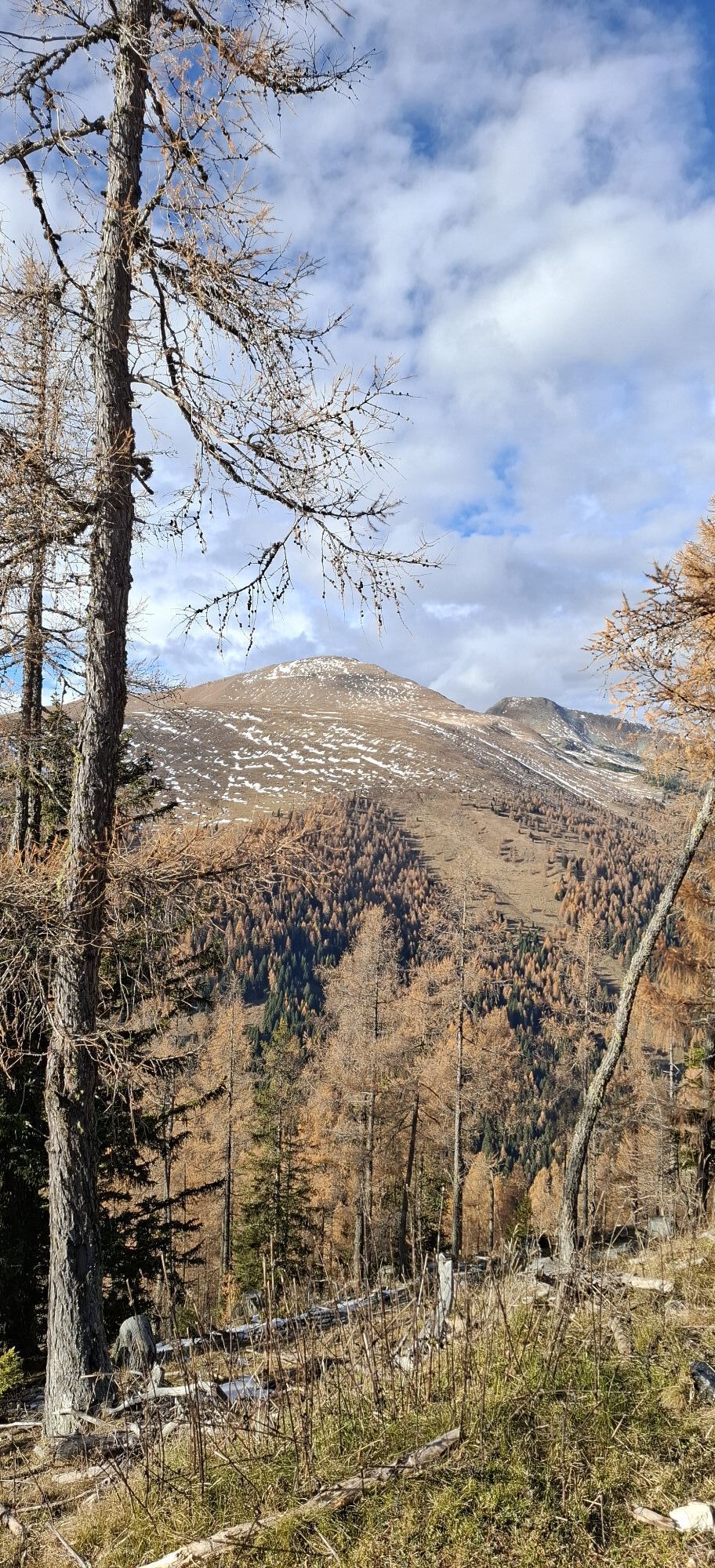
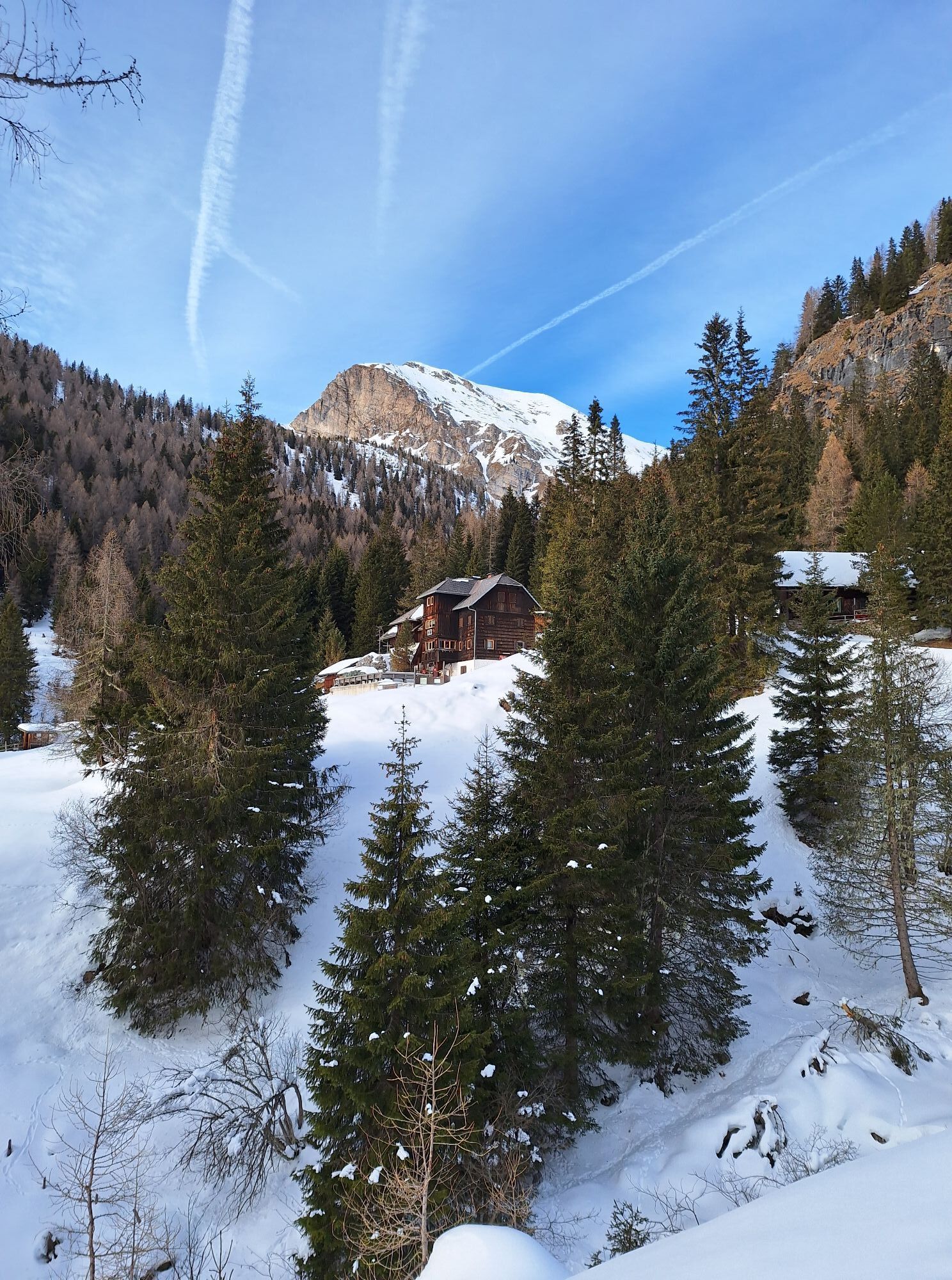
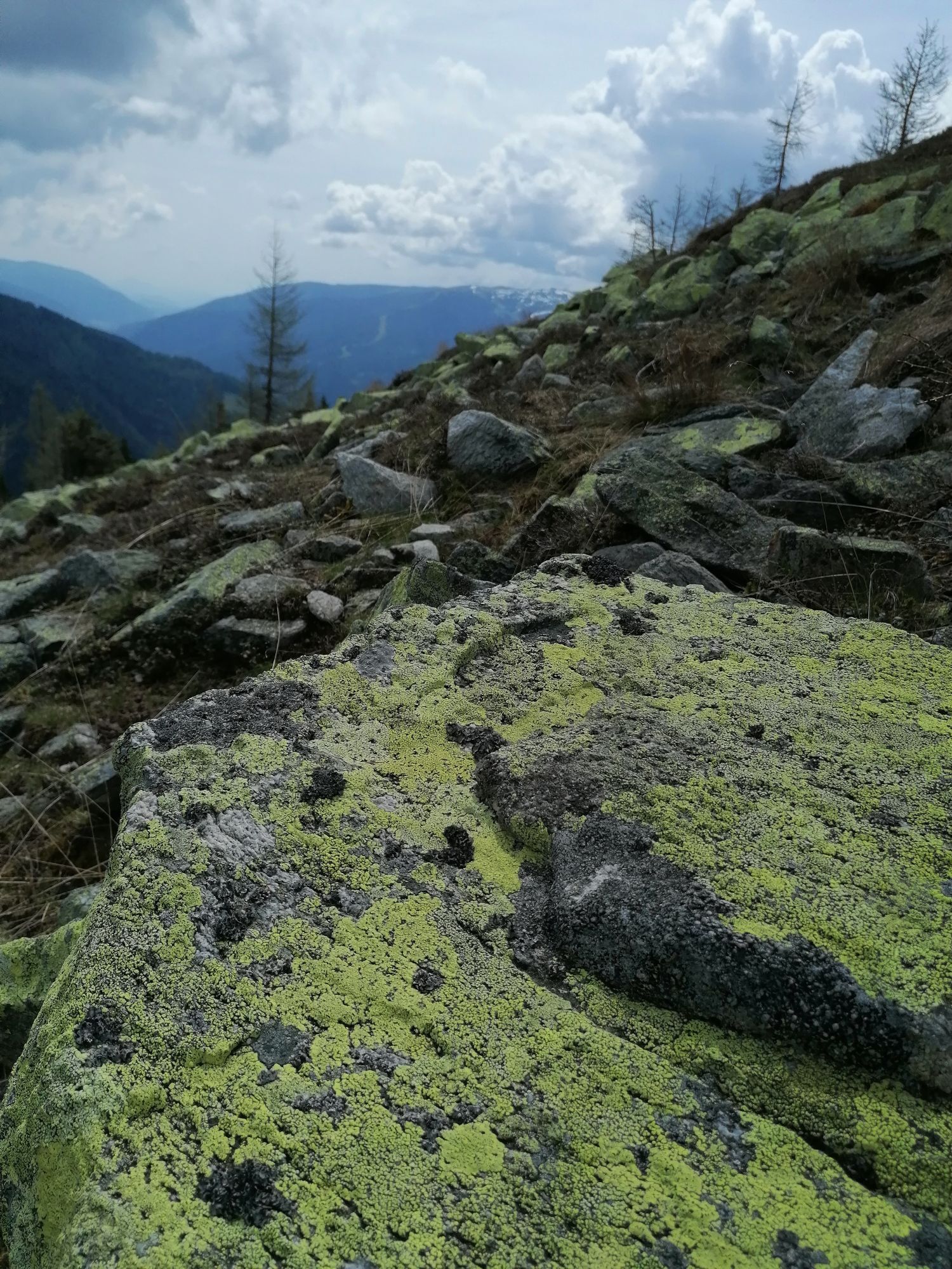
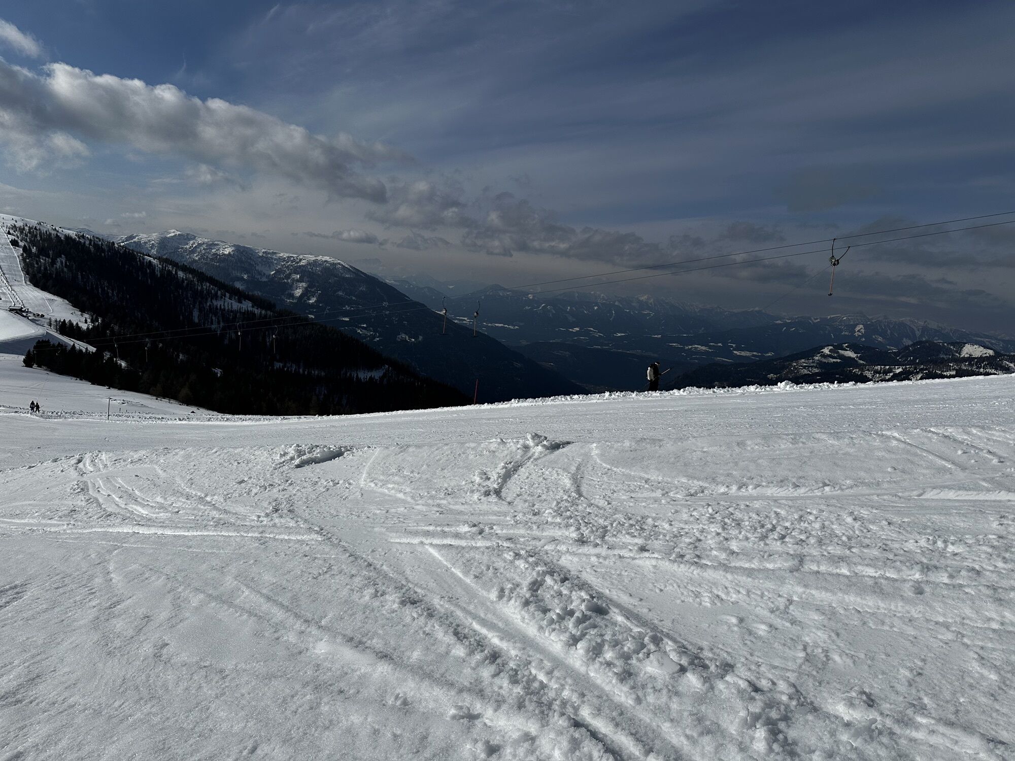
After relaxing in the comfortable setting of Bad Kleinkirchheim – possibly even having visited one of the two spas – the steep and remote ascent to Priedröf certainly presents a challenge. But once at the top, the landscape changes: I walk along the edge of the ski area, along a picturesque ridge towards the summit station of the Biosphere Park cable car Brunnach. But before reaching there, I turn onto a quiet and narrow path that leads me through idyllic larch forests, crossing the slope repeatedly until I finally reach the Erlacherhaus.
Tip:
I hike worry-free on the Nockberge-Trail!
The official Nockberge-Trail info and booking center with the award-winning Trail Angels team gladly supports me. Whether advanced or beginner: I am in good hands with the competent and helpful booking center team. Especially when I want to combine personal freedom and longing for the special with service, comfort, and safety on my hike.
Information and booking:
Official Nockberge-Trail info and booking center
powered by Trail Angels
Obervellach 15, 9821 Obervellach
+43 4782 93093
info@nockberge-trail.com
www.nockberge-trail.com
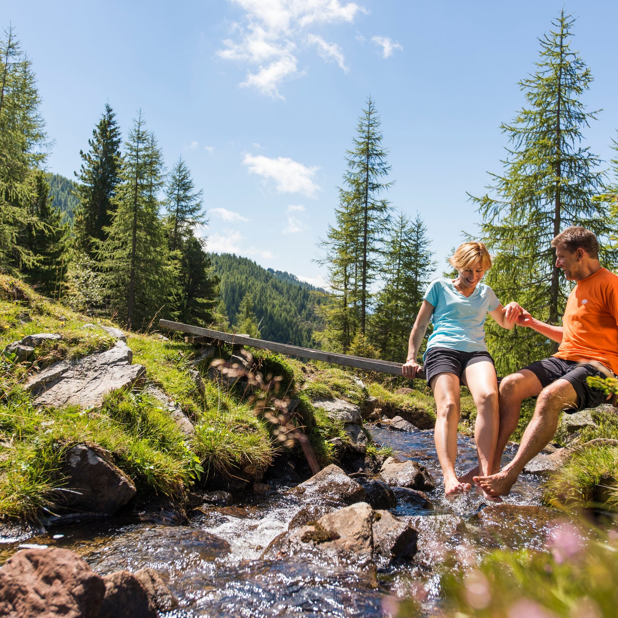
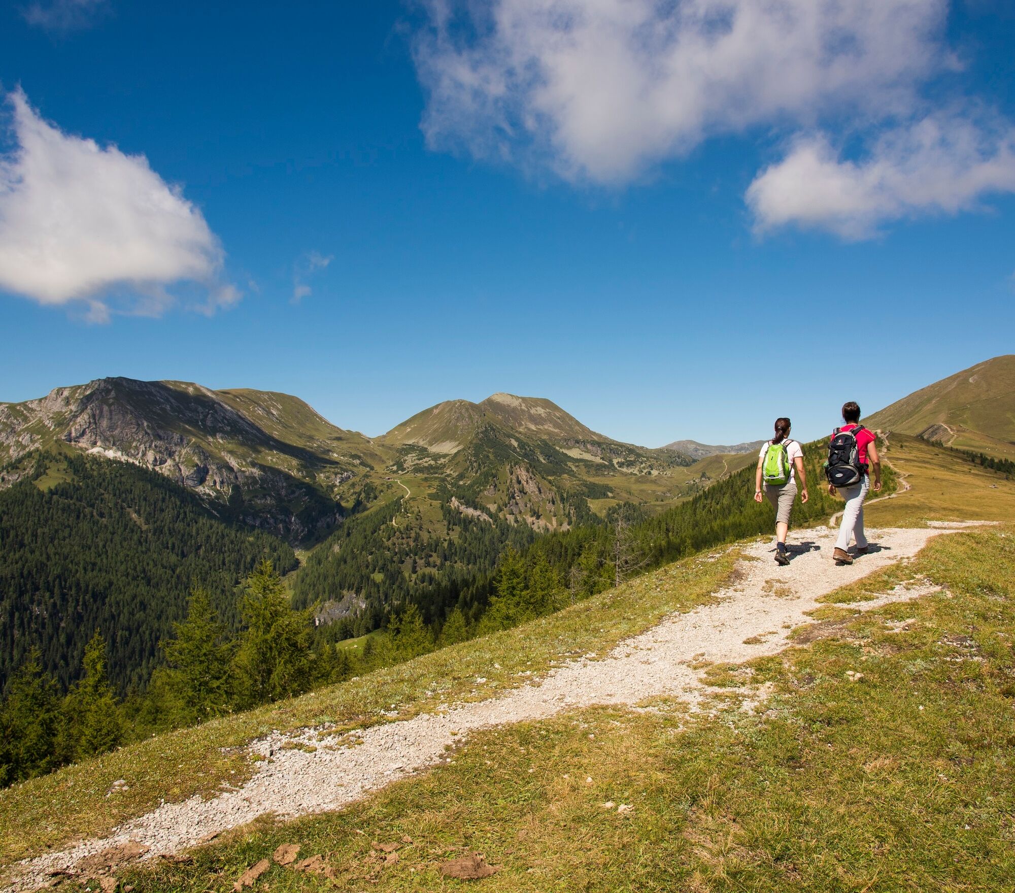
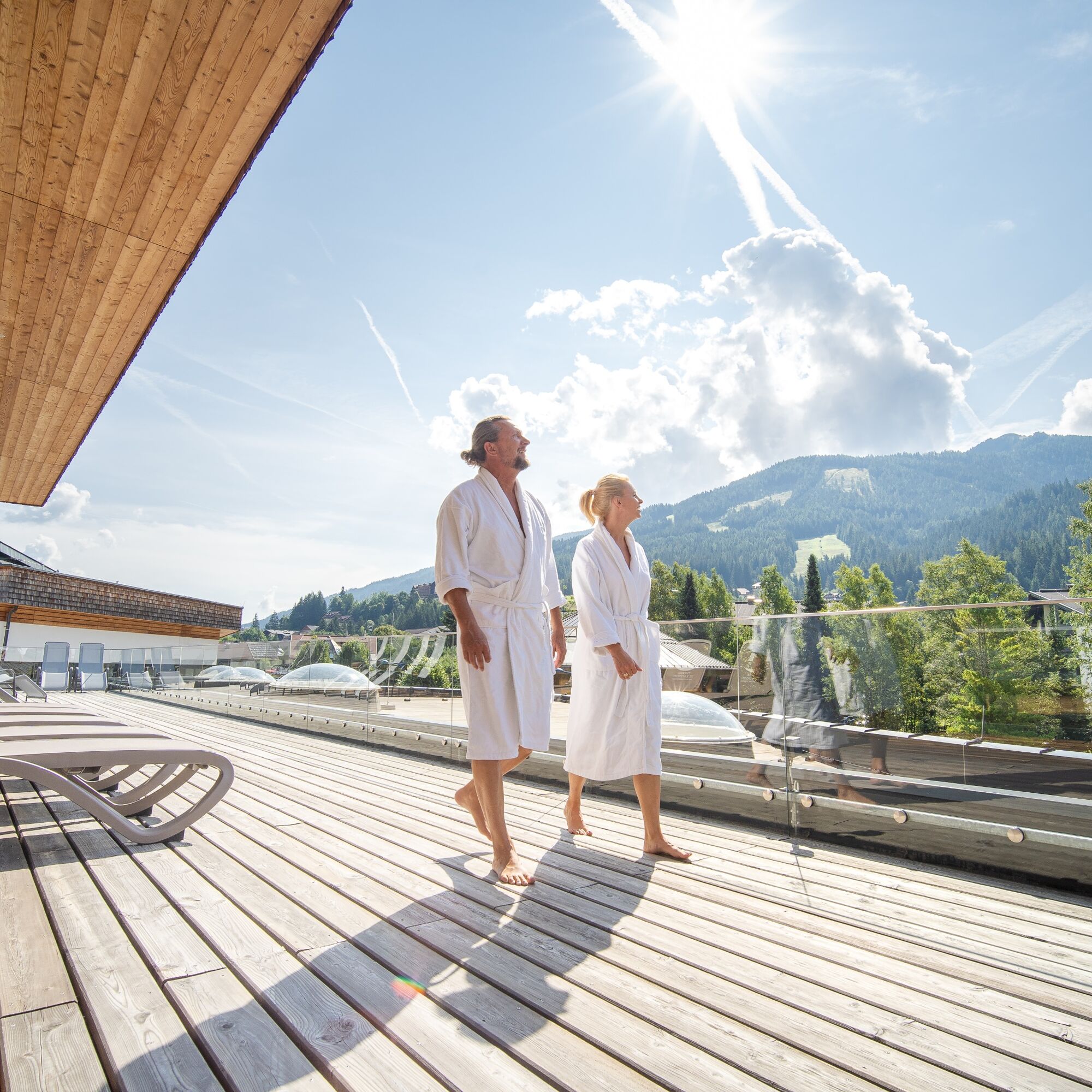
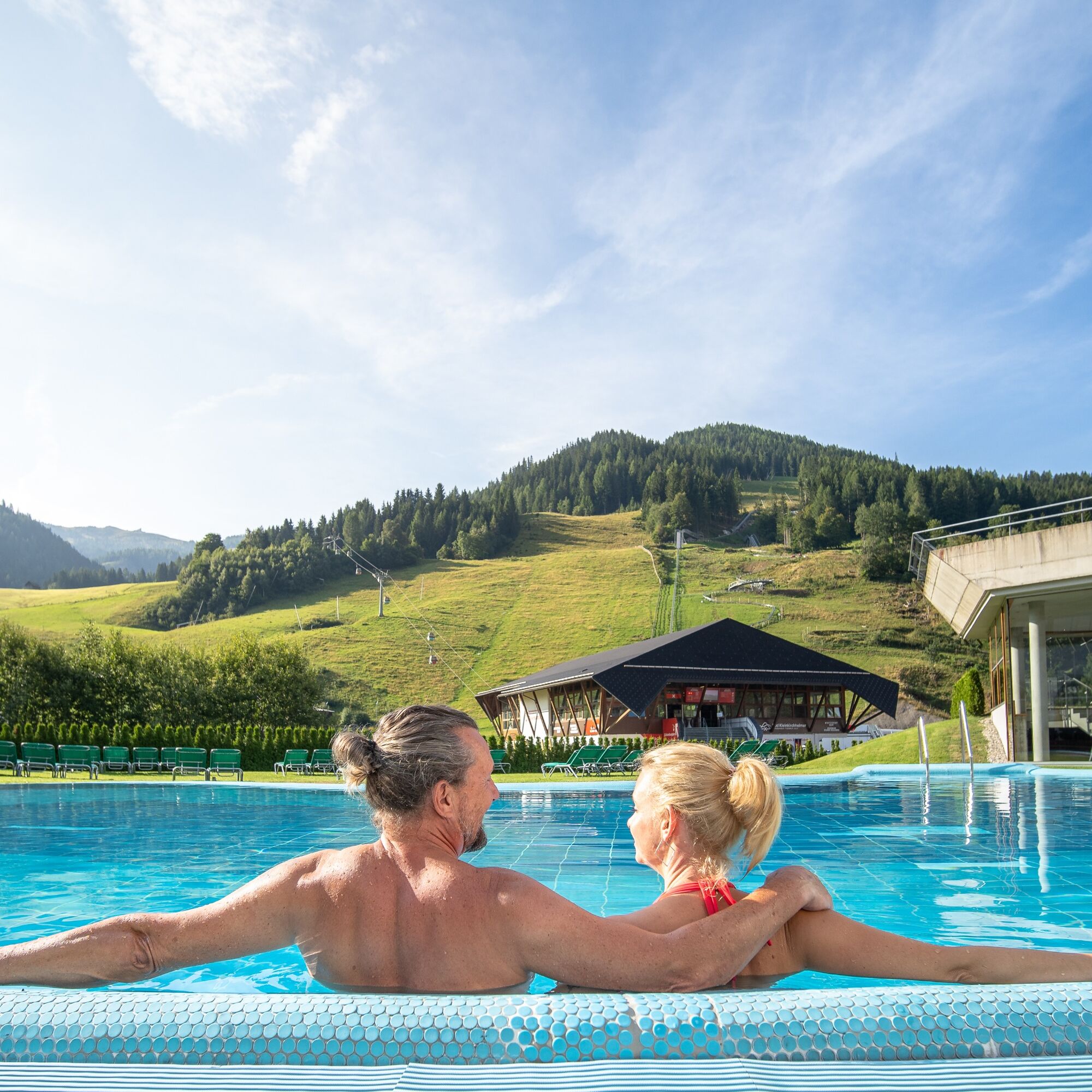

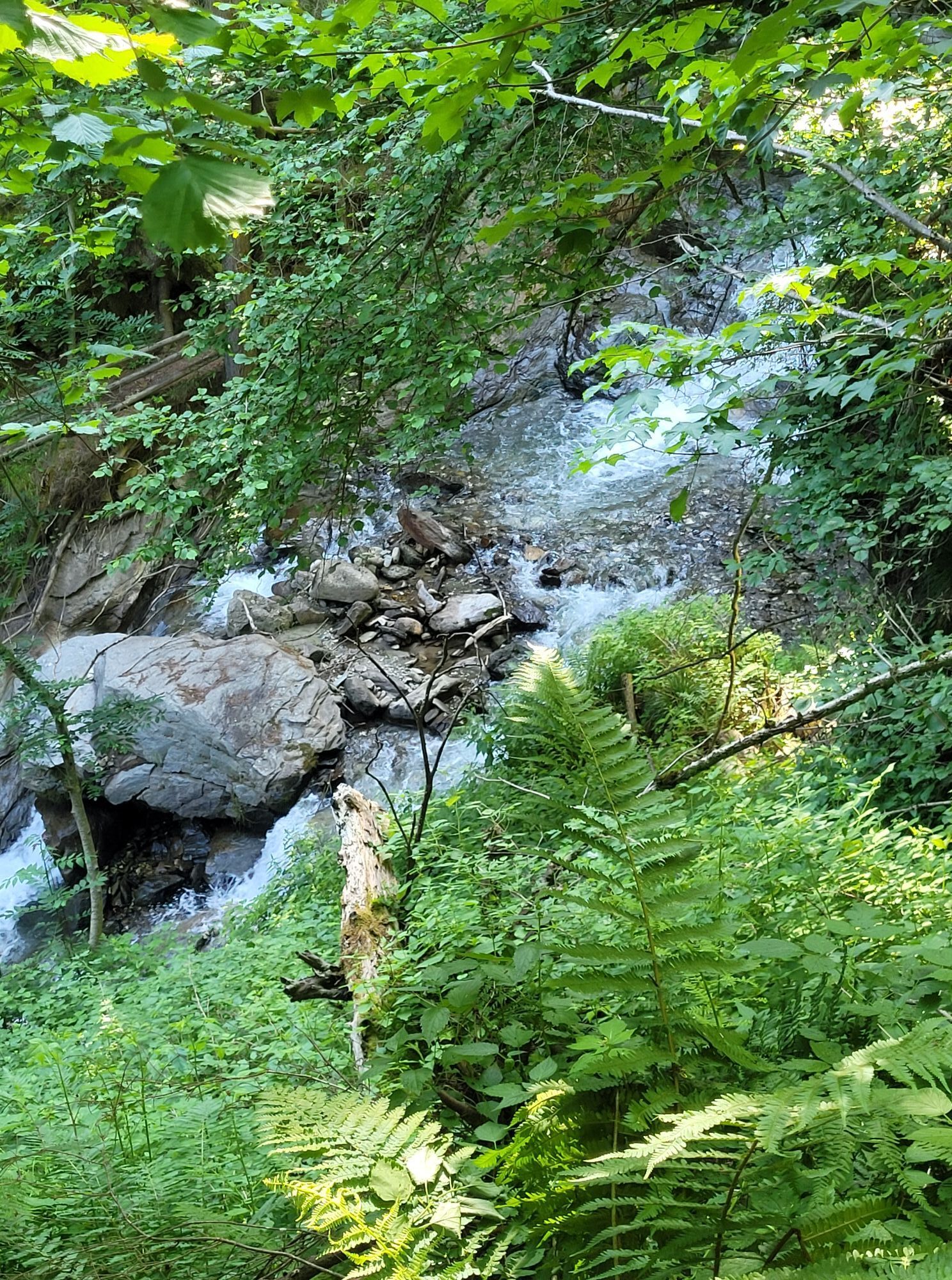
The stage begins at the tourist information opposite the St. Kathrein thermal spa. I turn west (so left) of the St. Kathrein thermal spa north into Bacherweg and follow it for 100 m. Then I turn left and follow the road in a right-left bend past the Auer guesthouse until I reach another road. Here I turn right and immediately left again onto the hiking trail ("St.-Oswald-Bach-Weg"), which leads to the right of the gorge of the St.-Oswald stream with beautiful views of the gorge from Bad Kleinkirchheim.
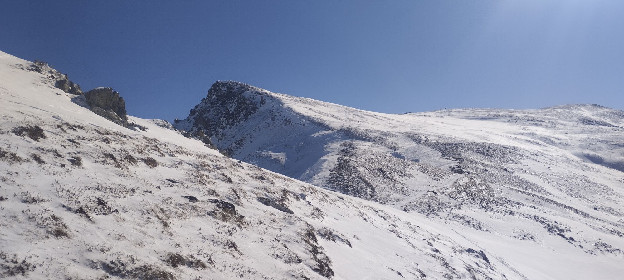
Now I come to some houses very close to the main road leading to St. Oswald. Shortly before the main road, however, I turn left onto a paved road, cross a bridge and follow this road straight ahead to the last house. There I sharply follow the road to the right to a farm. Here begins the solitude: the road becomes a cart track and later a small forest path, which continuously and partly quite steeply leads up the mountain, always keeping a little to the left. I always follow the signposts "Priedröf" and repeatedly cross a forest road or use it for a few meters. After some time I reach a gate: I go through it on the left and follow the alpine path uphill on the left. After a few meters, the markings point right again, and I follow them over a partly steeper alpine meadow on trails to the southern ridge of Priedröf and from there, becoming flatter, to the summit.
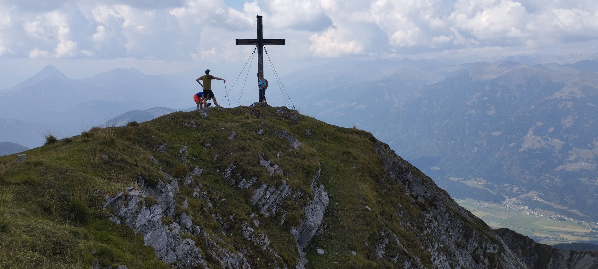
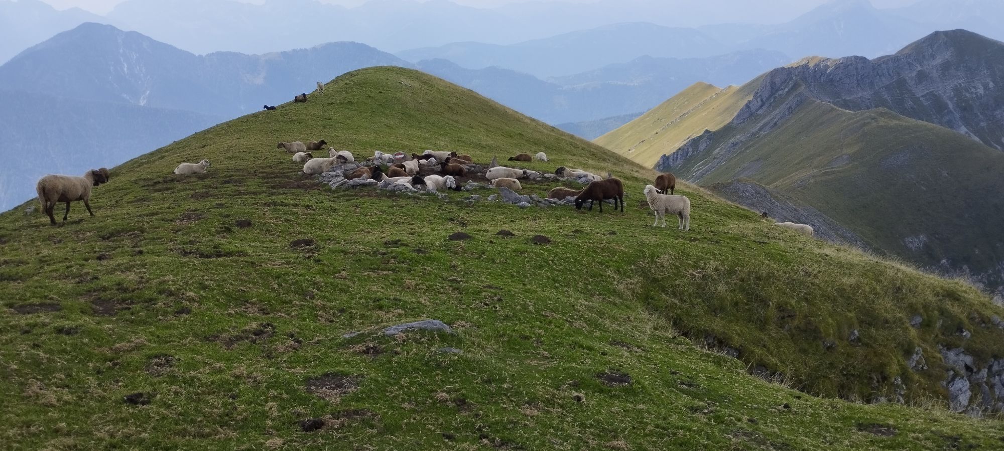
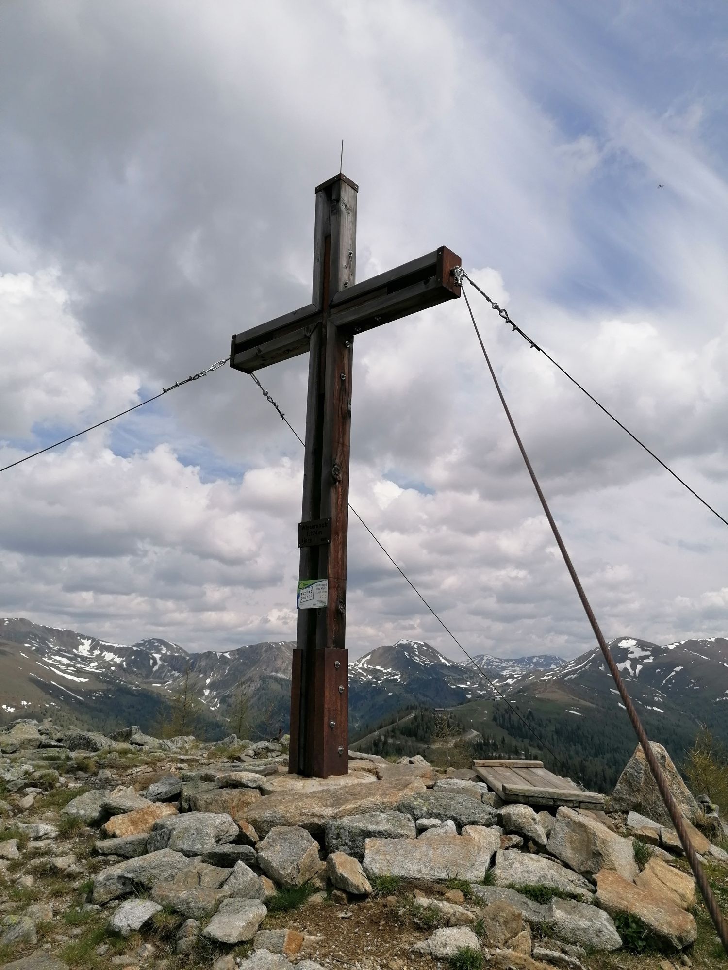
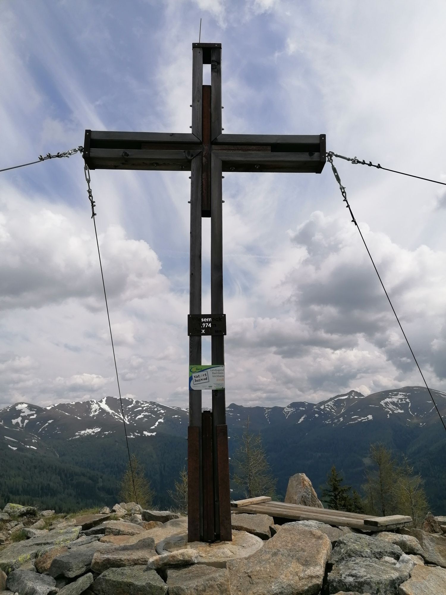
From Priedröf opens a wonderful panorama of the surrounding mountains. With great views - among other things, you can admire the routing of the previous two stages - I walk down the ridge to the summit station of the Nockalm cable car. Behind it, I turn right (signpost "Biosphärenparkbahn, Wiesernock") and walk along a fence directly over the ridge to the summit of Wiesernock (summit cross).
Now I wander without a path a few meters down to the north to a point where two slopes split. I choose the left of the two slopes and descend the slope on its left edge until another slope takes me to the right into the notch between Wiesernock and Spitzeck. Here I descend about 50 m – crossing a forest road – to a somewhat hidden wayside cross with yellow signs. I now follow the small path, which initially leads partly pathless at about the same height along the slope northwards (path 162 "Nockalm circular route"). After a few minutes I reach a ridge with a flattening, at the upper end of which the path continues more clearly. Somewhat tedious (I catch myself wishing for a slightly shorter right leg for this section due to the traverses), but always very beautiful, rustic and lonely, I cross quite steep forest slopes on narrow and faint trails for about an hour until I reach a wayside cross. Here the now wider hiking trail leads me always downwards in the direction of "Erlacherhaus" (ignore the path right towards St. Oswalder Bockhütte). At a gravel road, I already see the house, which I will soon reach by turning right over the gravel road.
Important prerequisites for the success of a mountain tour are, besides careful study of guides and maps, optimal equipment.
The basic equipment includes:
solid, well-fitting mountain or hiking shoes with grippy soles water- and wind-resistant mountain clothing in layers, hiking poles sunglasses, sun protection mobile phone and hiking map a first aid kit as well as enough to drink and a snackCorrect behavior in the mountains
Careful route planning based on descriptions and hiking maps is essential for the success of a mountain tour. It is equally important to correctly assess the mountain experience, fitness, surefootedness, fear of heights, and endurance of all participants. Never leave the marked hiking trails and avoid shortcuts. Inform yourself about the weather conditions before hiking and return to the valley if the weather deteriorates. The mountains are for everyone. Helping to preserve and keep them clean is the duty of every hiker. Take your waste down to the valley and protect the animal and plant life. Always keep dogs under control and on a short leash. If an attack by a grazing animal is imminent, immediately unleash the dog. Austrian farmers make an important contribution to preserving our alpine landscape. Visitors are asked to respectfully adapt to this beautiful landscape. Treat the people working here, nature, and animals with respect.Here are the most important emergency numbers in case of an accident in Austria:
140 Alpine emergency call
144 Rescue emergency call
112 European emergency call (possible from all networks. Switch off the mobile phone and after switching it on select the number “112” instead of the PIN)
Car:
from the east via the Southern motorway (A2) Vienna – Graz – Klagenfurt – Villach – Spittal/Drau; or from Villach via the Gegendtal to Radenthein - Bad Kleinkirchheim
from the south via Autostrada Udine – Tarvisio – Villach – Spittal/Drau; or from Villach via the Gegendtal to Radenthein - Bad Kleinkirchheim
from the west Innsbruck – Felbertauernstraße or Brenner motorway/Pustertal to Lienz – Oberdrauburg – Spittal/Drau to Radenthein - Bad Kleinkirchheim
from the north Munich –
Salzburg –
a.) Tauern motorway (A10) towards Spittal/Drau until exit Millstätter See (left turn) to Radenthein - Bad Kleinkirchheim
b.) Lungau – via Turracher Höhe - Bad Kleinkirchheim
The Nockmobil brings you into the center of Bad Kleinkirchheim and from the stage destination at Erlacherhaus (stop number 9113) back to your starting point.
As a feeder to public transport, Nockmobil offers a green alternative to the car as an on-demand call shared taxi and allows us to travel flexibly from stop to stop. Let's use the Nockmobil to get to and from the starting point of our hike (from stop number xx).
We recommend booking a ride with Nockmobil about one hour in advance (the day before in summer months). We can also book our ride via the app.
Car shuttle Carinthia
Convenient and direct from the station to your accommodation with Carinthia Car Shuttle: https://www.bahnhofshuttlekaernten.at/
There are sufficient parking spaces at the Maibrunn car park (behind the Hotel Explorer).
More information about the Nockberge-Trail is available at the official trail booking center at www.bookyourtrail.com.
More information about the hiking area of the region is available at:
Region Millstätter See - Bad Kleinkirchheim - Nockberge
+43 (0) 4246-37444
info@mbn-tourismus.at
www.seeundberg.at/wandern
The UNESCO Biosphere Park Carinthian Nockberge
Majestic, mighty, and unique – the UNESCO Biosphere Park Carinthian Nockberge is an alpine jewel with unique natural treasures, a diverse cultural landscape, as well as rare animal and plant species. For centuries, people have lived here in harmony with nature. Gently rolling with peaks over 2400 meters and picturesque alpine meadows – the biosphere park Carinthian Nockberge is a rare natural idyll in the Austrian Alps and covers an area of about 500 square kilometers.
It was designated a biosphere park by UNESCO in 2012. The park is based on the three pillars of sustainability: ecological balance, economic security, and social justice. Here life is lived in harmony with nature and the rare animal and plant world is respectfully regarded and cherished.
Regional products processed according to old traditions testify to careful work according to handed-down recipes. Trained biosphere park rangers promise unforgettable tours for families, and this knowledge is also passed on to students in several educational programs. No matter what season a visit takes place, the biosphere park always offers a packed treasure chest of experiences.
More information about the UNESCO Biosphere Park Carinthian Nockberge is available at: www.biosphaerenparknockberge.at
This stage is short compared to the previous day hikes, so I enjoy a long and abundant breakfast.
Uzyskaj wgląd
Zawsze na żywo z ponad 9 500 kamer internetowych. bergfex Jako użytkownik Pro, możesz teraz zobaczyć odpowiednie kamery internetowe dla wielu wycieczek w aplikacji wycieczki od. Pozwala to na bezpośredni podgląd aktualnych warunków.
Popularne wycieczki w okolicy
-
4,5
Turracher 3 Seen Weg - Weg der Sinne zwischen Berg & See
światłoTrasa tematyczna 7,15 km -
4,8
Schoberriegel - Schönebennock -
światłoWędrówka 9,88 km -
4,9
Schönfeld: Großer Königstuhl
średniWędrówka 11,2 km -
4,8
Enzian-Granatsteig & Almbrunn Steig
światłoWędrówka 8 km -
4,8
Nockbergrundwanderweg
średniWędrówka 6,62 km -
4,8
Große Rosennock Runde
Wędrówka 9,80 km -
4,9
St. Oswald - Circular hike - Mallnock - Klomnock
średniWędrówka 10,9 km -
4,8
Lammersdorfer Hütte, Granattor Runde
światłoWędrówka 9,85 km -
4,6
Falkertsee - Sonntagstal - Falkert
średniWędrówka 4,84 km -
4,6
Millstätter See cycle track
średniJazda na rowerze 27,7 km
Wędrówki i tropienie


Nie przegap ofert i inspiracji na następne wakacje
Twój adres e-mail została dodana do listy mailingowej.





