






Kneipp hiking path Flattnitz
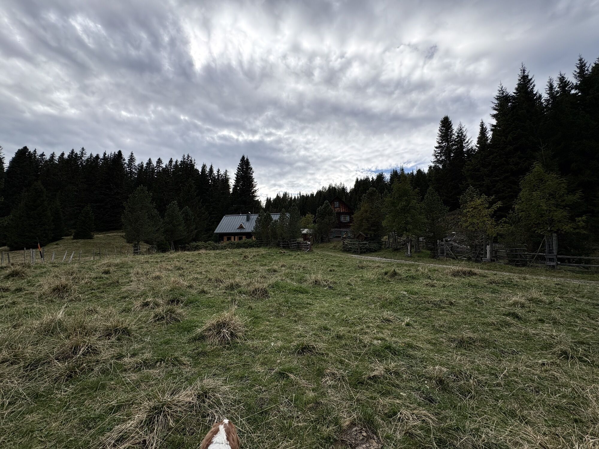
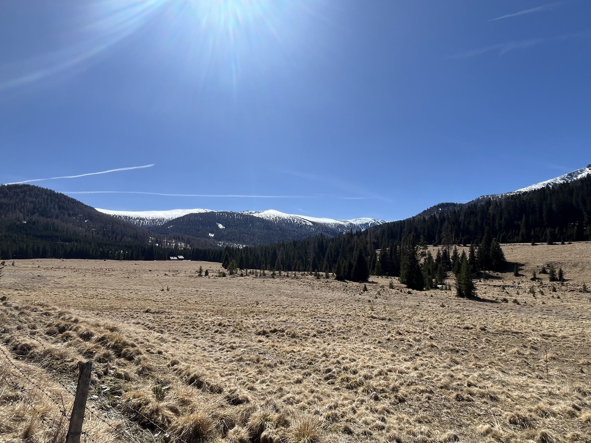
The hiking trail runs along the Kalkbrandstraße over the Glanacken Alm, past the Saglhütte, then further over the Schaffer Alm to the Müllnerhütte and finally to the Pfandlhütte. From there, it goes back...
The hiking trail runs along the Kalkbrandstraße over the Glanacken Alm, past the Saglhütte, then further over the Schaffer Alm to the Müllnerhütte and finally to the Pfandlhütte. From there, it goes back to the starting point.

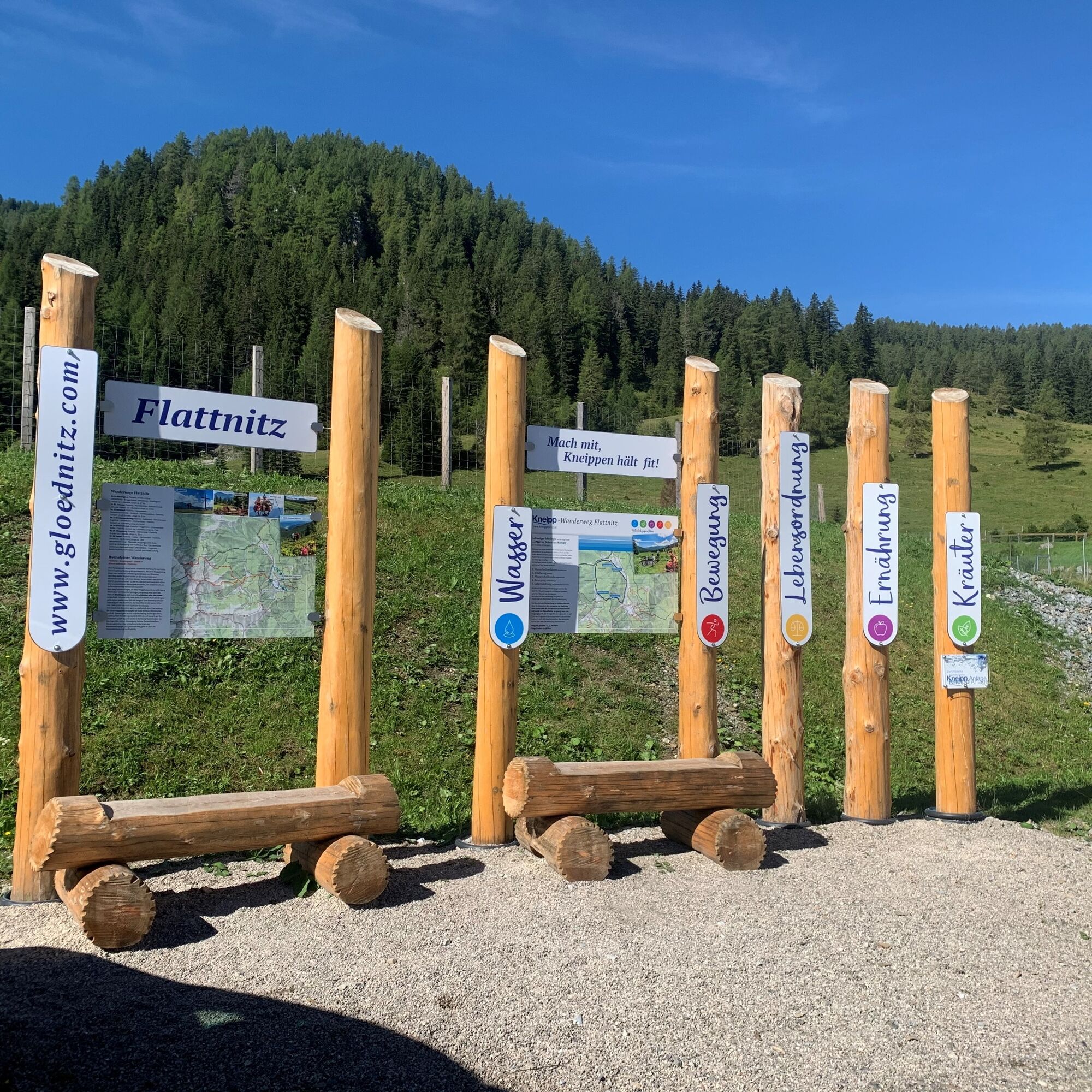
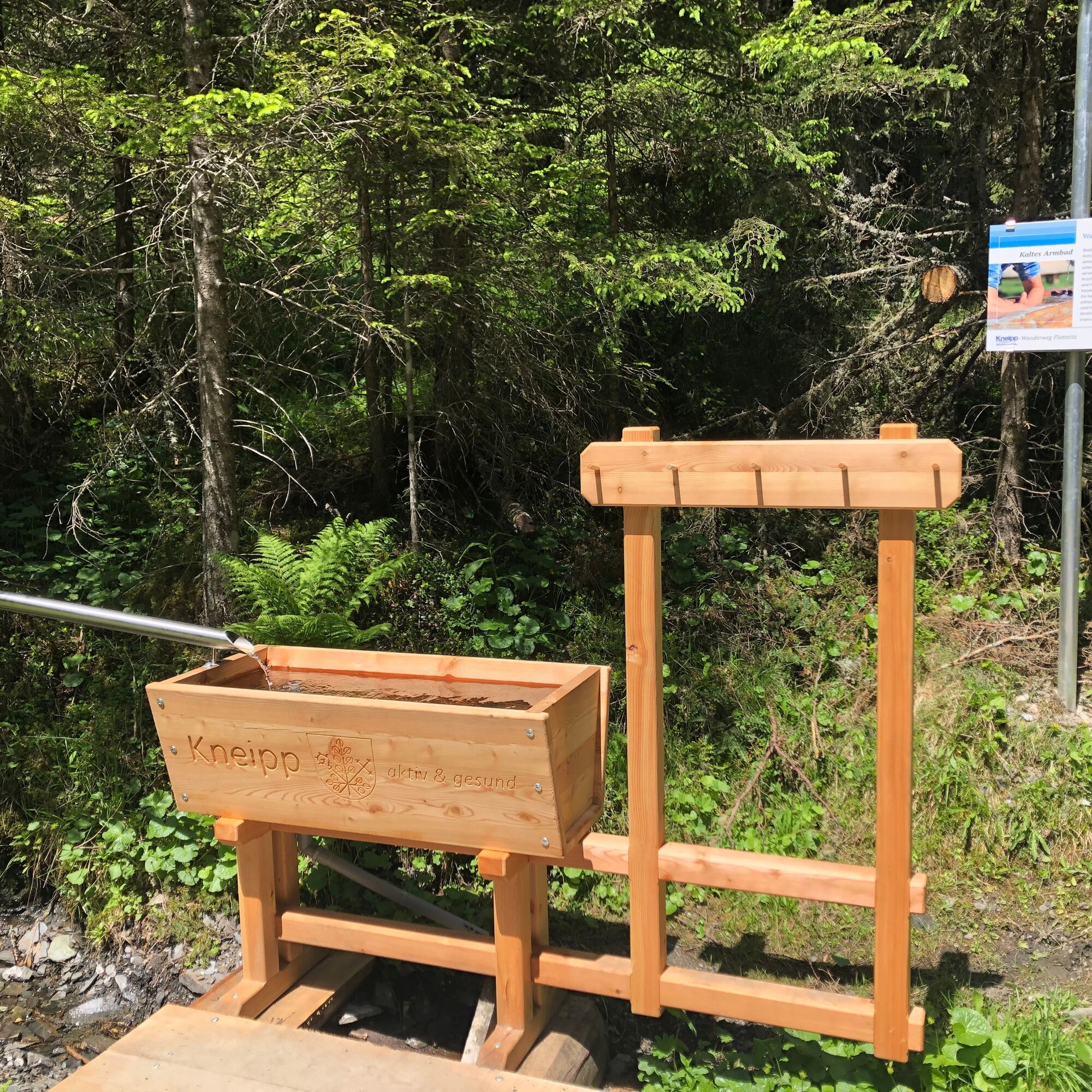
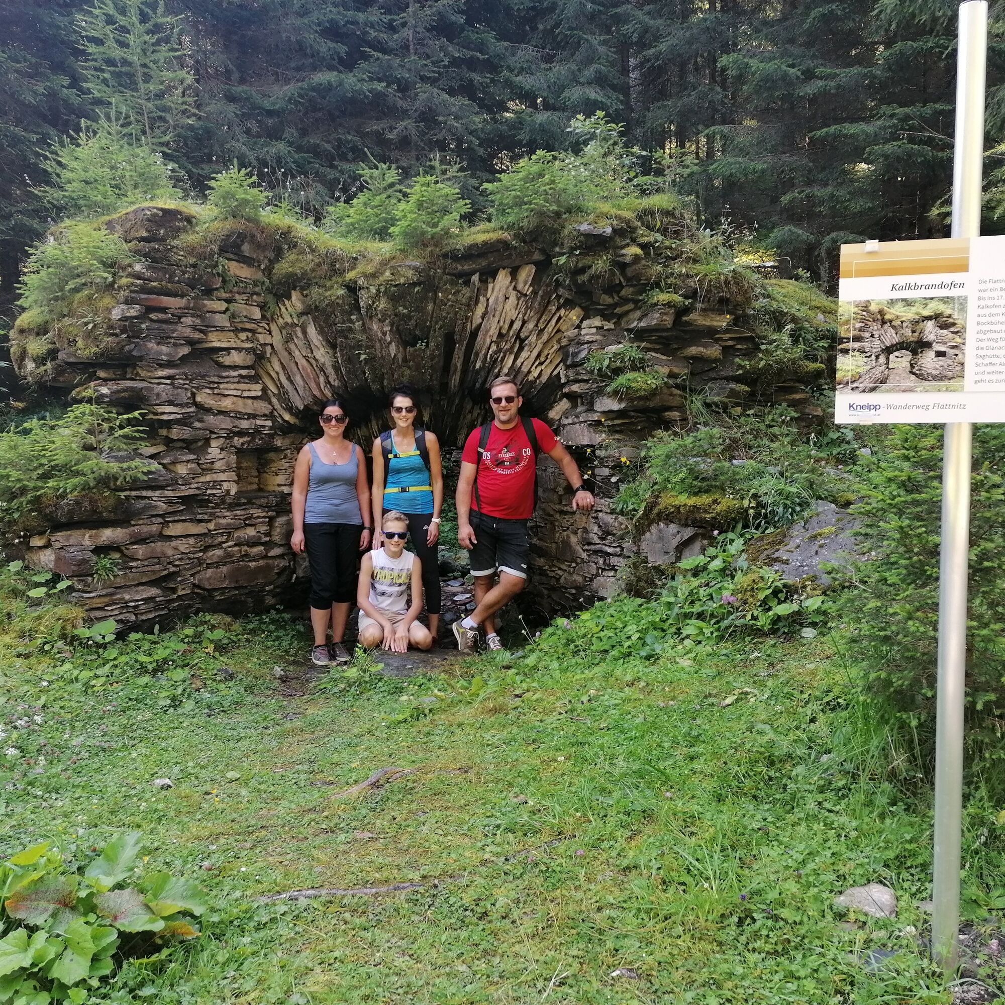
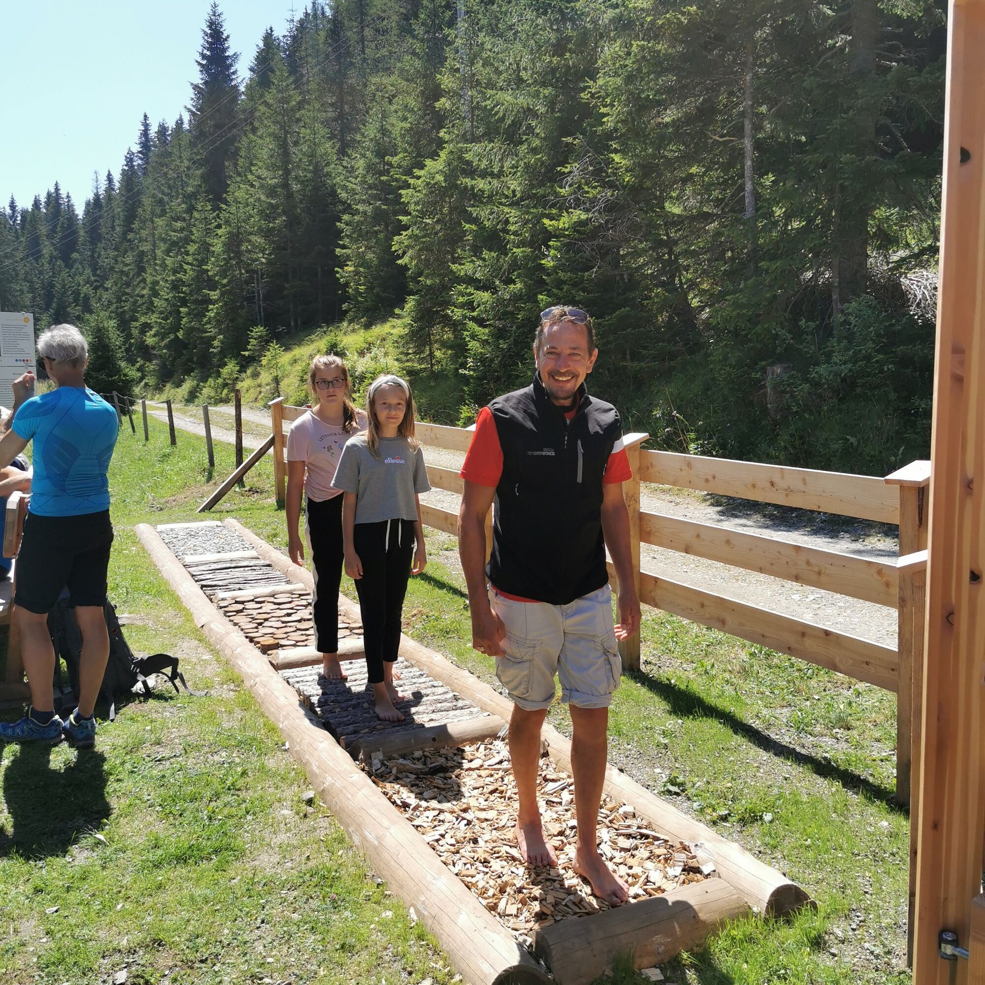

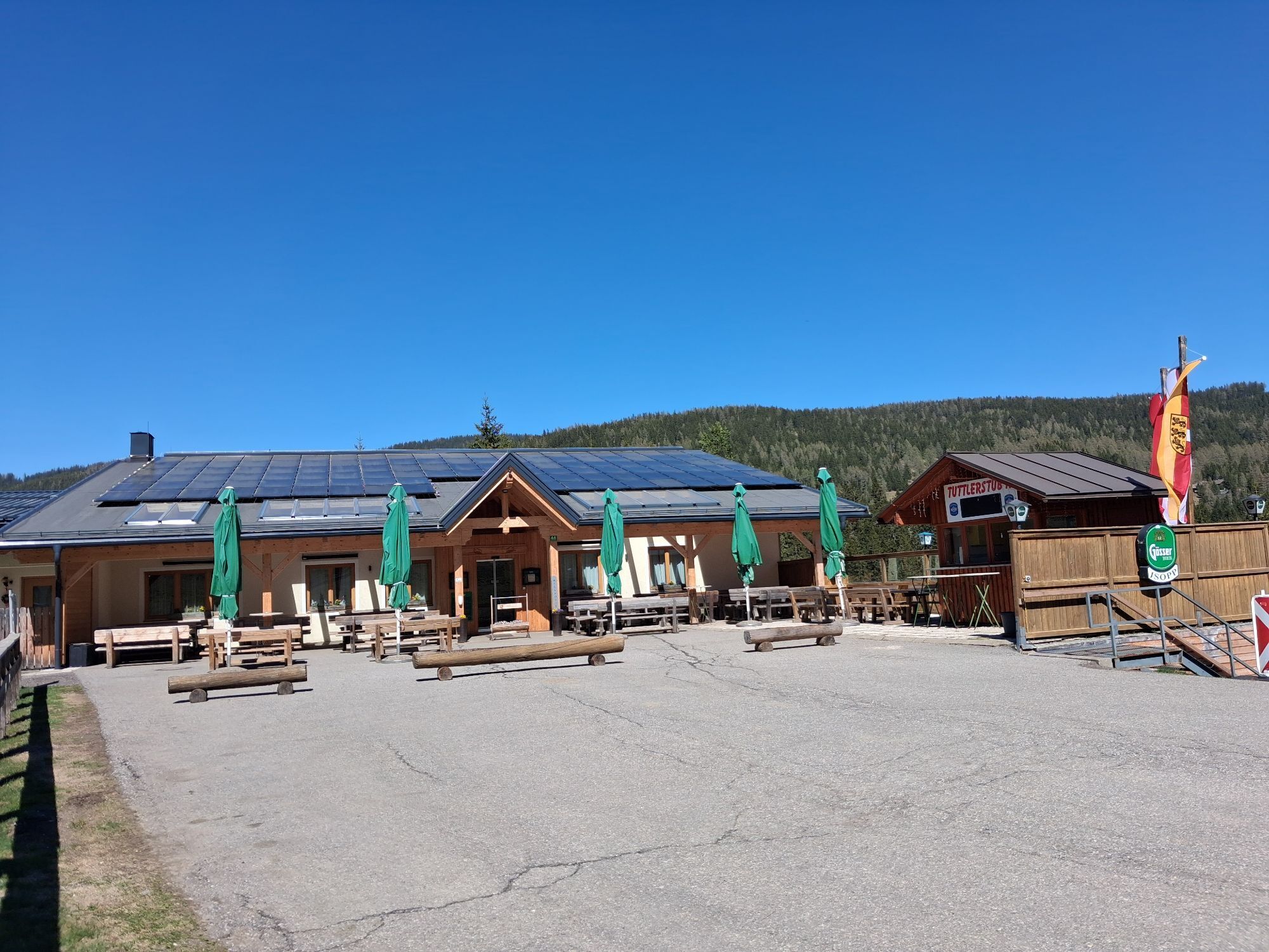
The hiking route starts at the information board below the reservoir pond. You pass by the Alpengasthaus Isopp and follow the Kalkbrandstraße. Soon you can dip your arms into the arm basin and enjoy the first refreshment. It continues towards Glanackenalm, where you can stimulate your circulation and promote blood flow in the water treading basin. The pleasant hiking trail continues past the Saglhütte, you circle around the Schafferkogel in the north until you reach the Schafferalm. Here, too, an arm basin offers cooling. After the Müllnerhütte, it's time to "take off your shoes" and feel the barefoot path. Then you follow the route of the Carinthian border path; after a few meters on the asphalt road, turn right again and continue hiking until you return to the starting point.
Tak
sturdy footwear, appropriate clothing, water bottle
inform someone where you are going and when you will be back
From Styria or Glödnitz via the L63 Flattnitzer Straße or from the Metnitz valley via the L62 Metnitztal Straße.
ÖBB timetable information:
https://fahrplan.oebb.at/webapp/#!P|TP!H|199886
In summer, you can also use the regional hiking bus that runs from St. Veit to the Flattnitz.
For more information call +43 4212/ 45608 or email info@mittelkaernten.at
Parking spaces at the valley station of the chairlift.
can be found at the info office
Along the Kneipp hiking path, you will encounter all five pillars of the Kneipp philosophy.
 Uzyskaj wgląd
Zawsze na żywo z ponad 9 500 kamer internetowych. bergfex Jako użytkownik Pro, możesz teraz zobaczyć odpowiednie kamery internetowe dla wielu wycieczek w aplikacji wycieczki od. Pozwala to na bezpośredni podgląd aktualnych warunków.
Uzyskaj wgląd
Zawsze na żywo z ponad 9 500 kamer internetowych. bergfex Jako użytkownik Pro, możesz teraz zobaczyć odpowiednie kamery internetowe dla wielu wycieczek w aplikacji wycieczki od. Pozwala to na bezpośredni podgląd aktualnych warunków.

Popularne wycieczki w okolicy
-
4,6
Turracher 3 Seen Weg - Weg der Sinne zwischen Berg & See
światłoTrasa tematyczna 7,15 km -
4,7
Schoberriegel - Schönebennock -
światłoWędrówka 9,88 km -
4,6
Hochrindl - Lattersteighöhe
średniWędrówka 9,17 km -
4,5
Hochrindl-weises Kreuz
średniWędrówka 12,4 km -
4,6
Circular route Rinsennock
średniWędrówka 7,46 km -
3,5
Flattnitz Haidnerhöhe - Hirnkopf
średniWędrówka 6,93 km -
4,0
Hochrindl - Almhütten-Wanderung (AGW Almgenussweg ) um den Kegel
światłoWędrówka 9,31 km -
4,8
Almenwasserweg - Flattnitz
światłoWędrówka 6,62 km -
4,2
Rundwanderung Hochrindl - Speickkofel - Bretthöhe - Lattersteig
ciężkiWędrówka 20,9 km -
4,2
kl.Speikkofel, gr.Speikkofel, Bretthöhe
średniWędrówka zimą 14,1 km
Wędrówki i tropienie


Nie przegap ofert i inspiracji na następne wakacje
Twój adres e-mail została dodana do listy mailingowej.





