



Hohe Gloriette



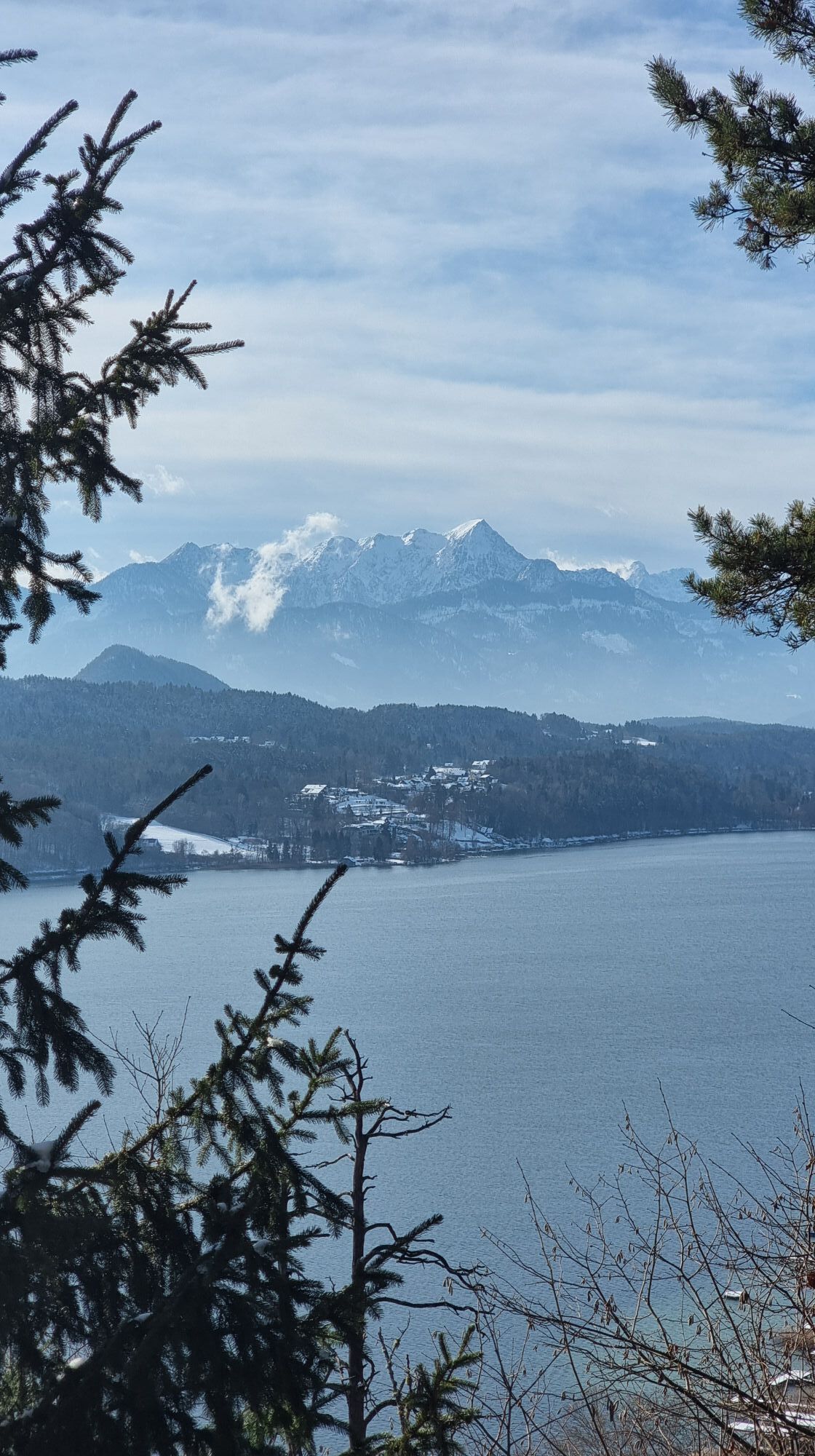
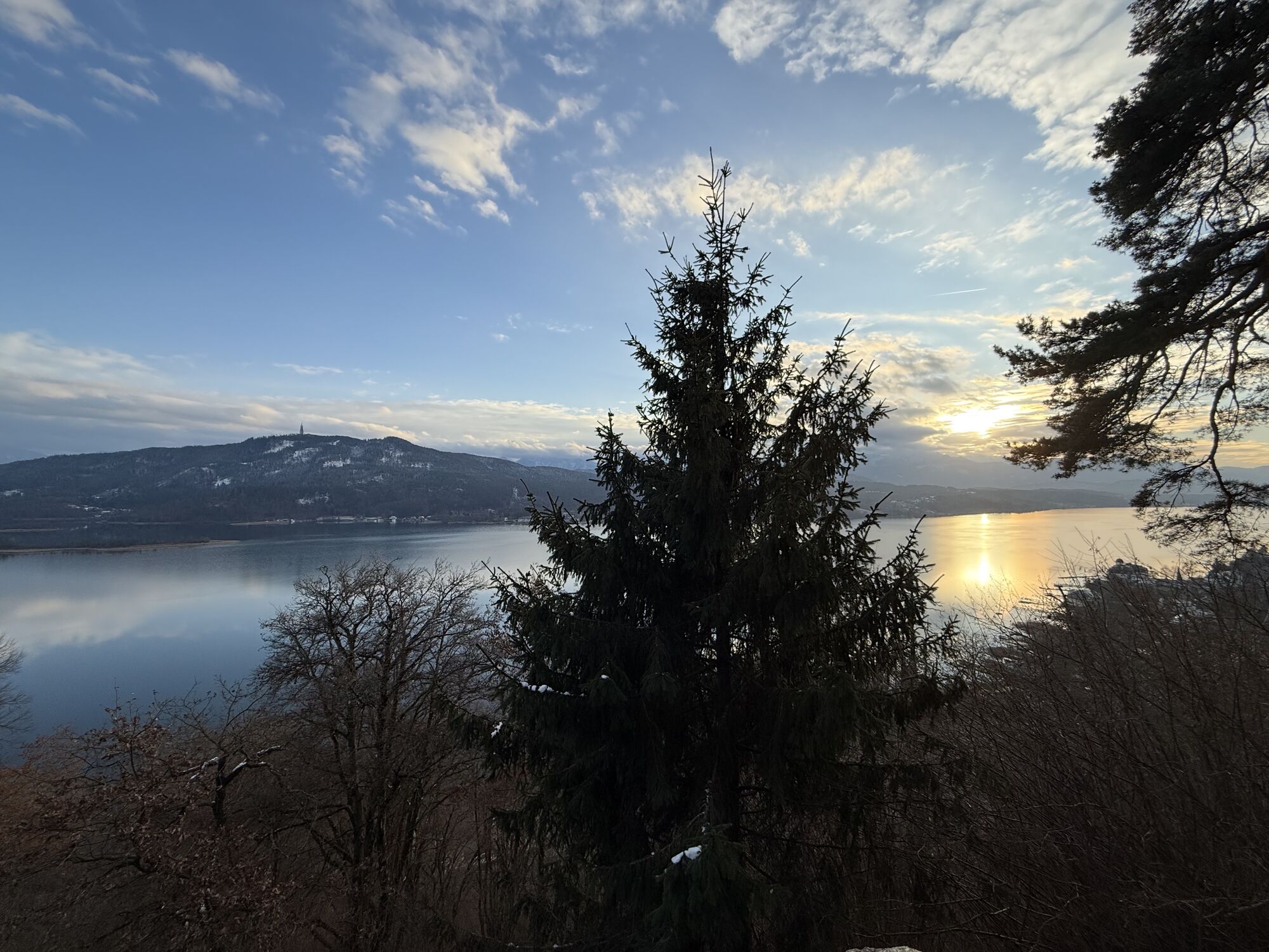
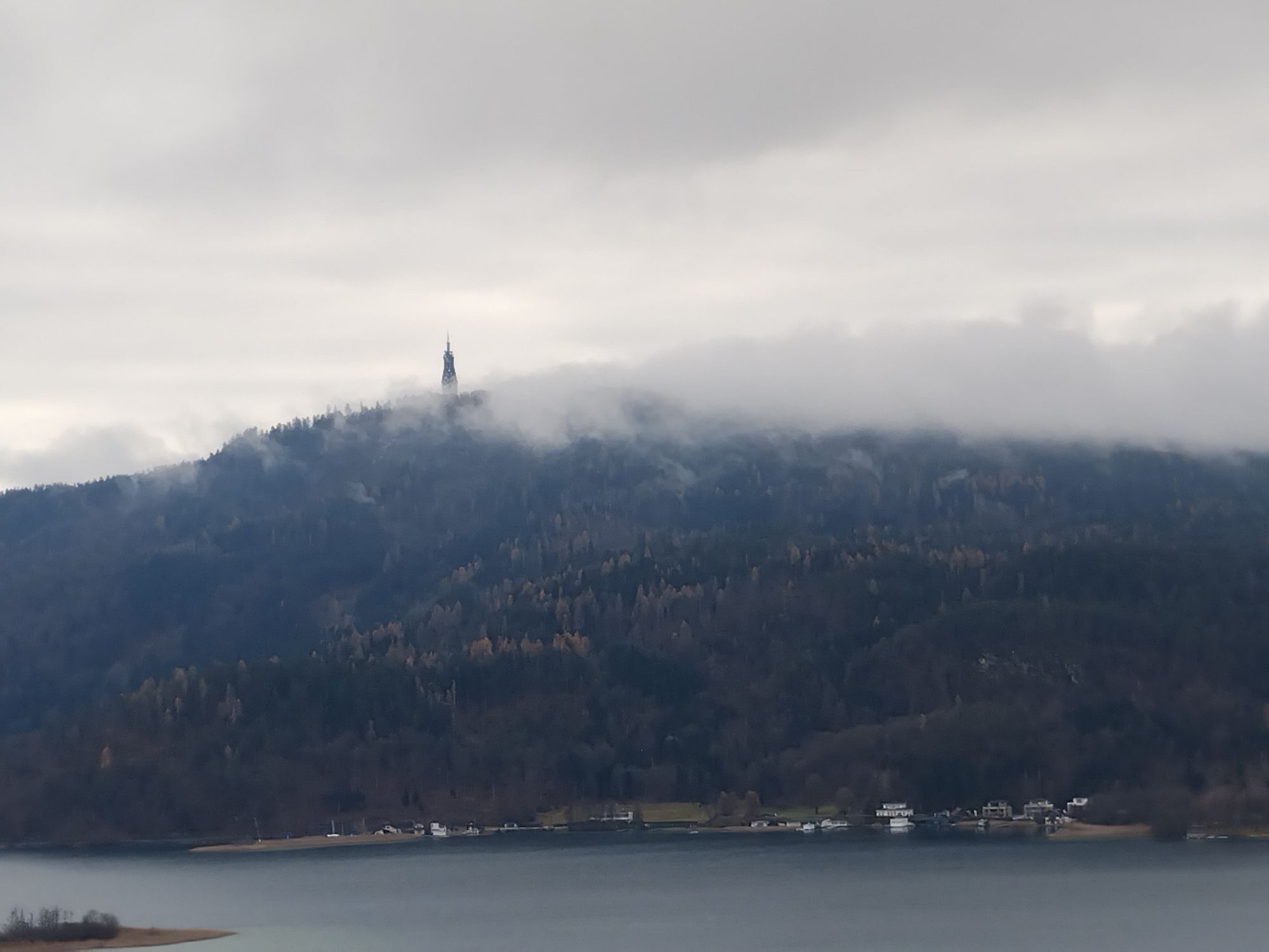
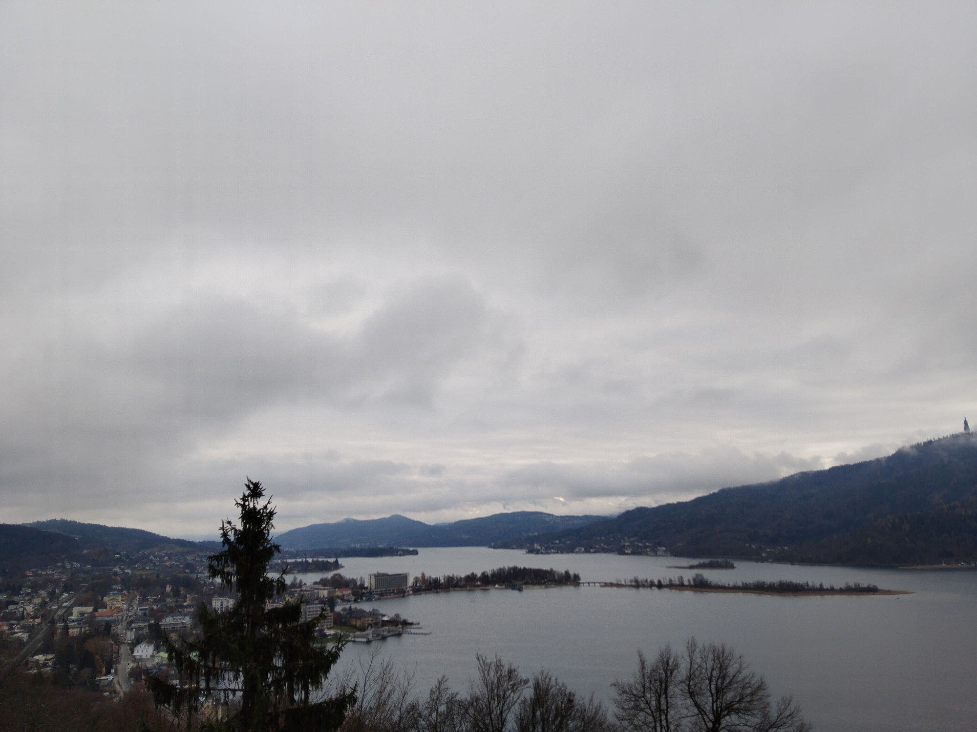
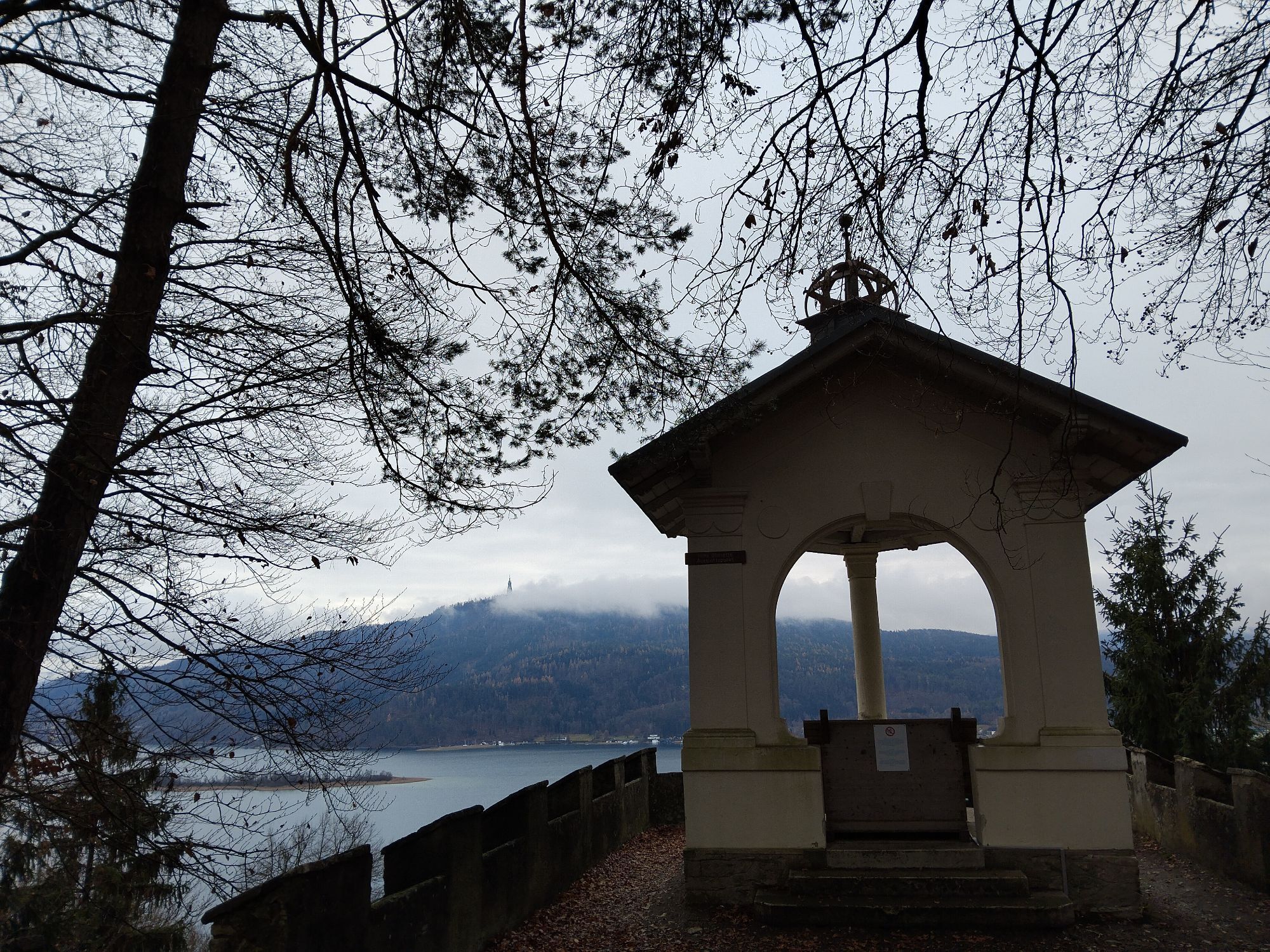


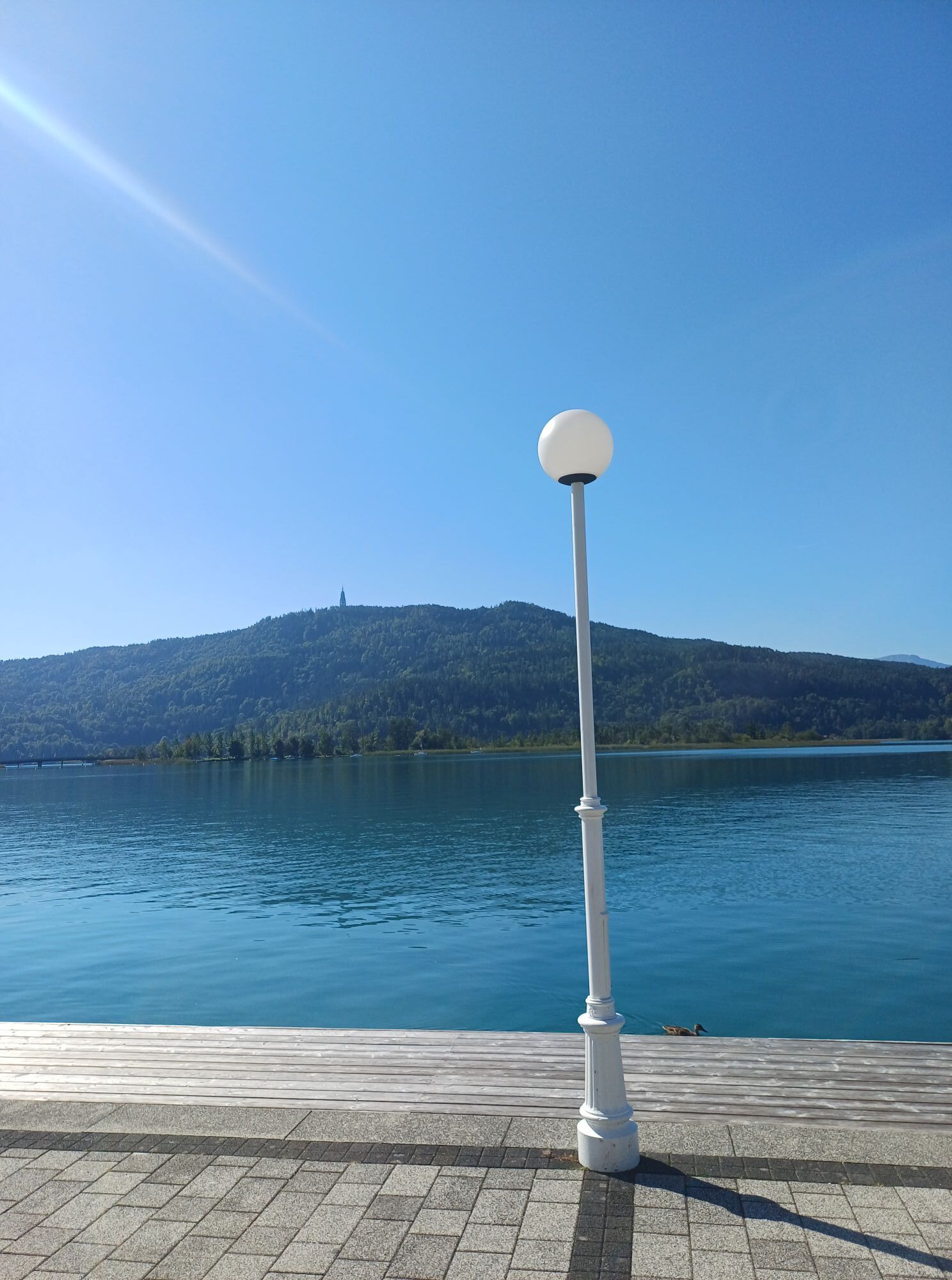


An alternative to strolling along the lakeside promenade: the Hohe Gloriette viewpoint with a fantastic panoramic view over Lake Wörthersee from Maria Wörth to Velden and the Karawanken mountain range...
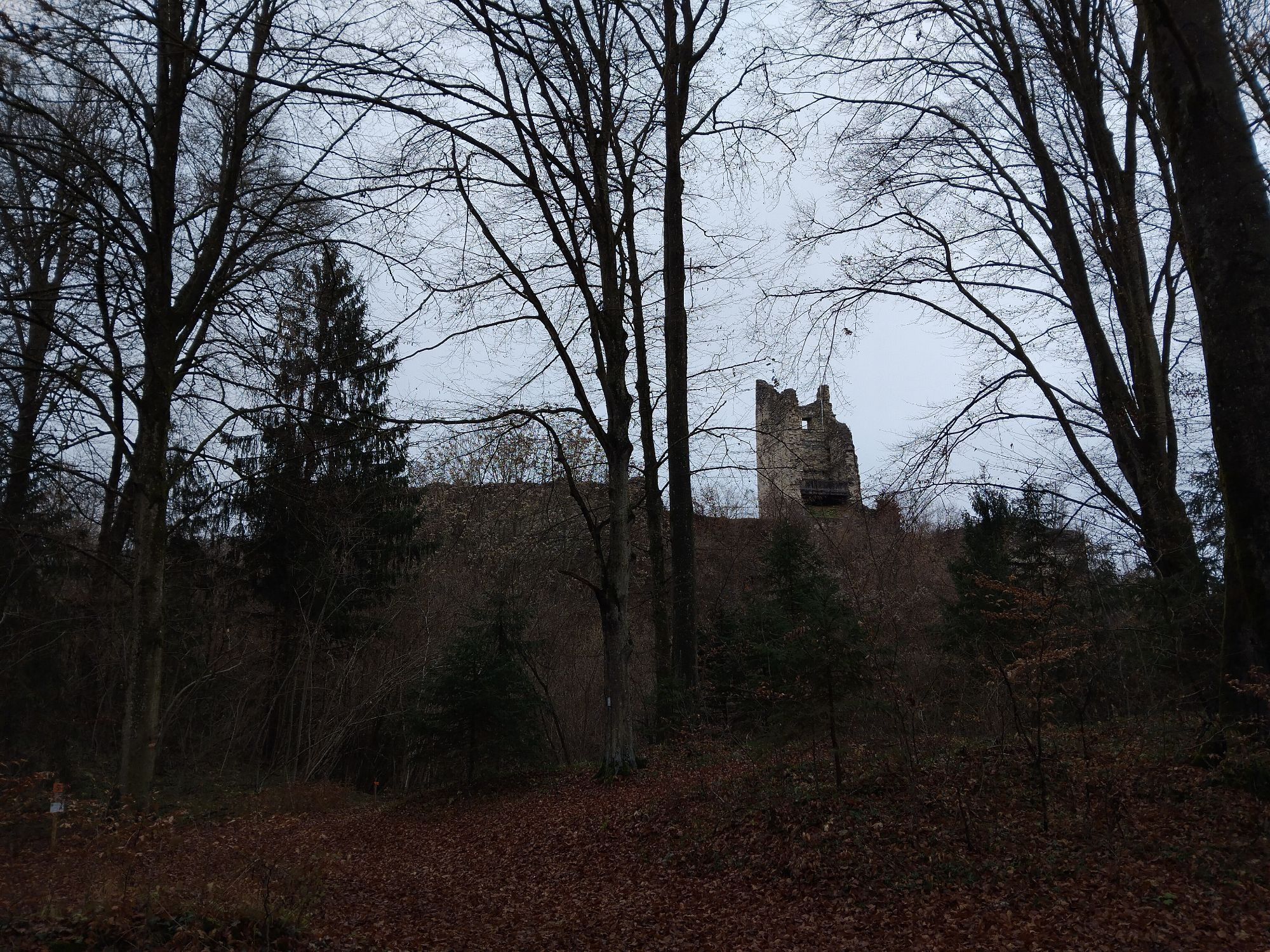
The small, white pillared pavilion above Pörtschach can be reached via a 40-minute walk uphill through the forest. Starting from Leonstain Castle, take the hiking trail up to the Hohe Gloriette.A watchtower is said to have stood on the site of the Hohe Gloriette in Roman times. Around 1150, a noble family who had immigrated from the Rhineland built the ‘Seeburg’ castle on the site of today's Hohe Gloriette. The Seeburg has gradually fallen into disrepair and only remnants remain. At the time of Pörtschach's tourist boom, the columned pavilion "Hohe Gloriette" was built on this site as a viewing point.
Translated with DeepL.com (free version)


From the tourist information office to the Hohe Gloriette.
Tak
Coming from the west (Velden): turn left after the OMV petrol station or before Leonstain Castle - follow the path and signs to ‘Hohe Gloriette’.
Arrival by bus, train or boat possible
Parkplätze im Ort vorhanden
https://www.woerthersee.com/wandern/


Popularne wycieczki w okolicy
-
5,0
Wörthersee EXTREM
ciężkiWędrówka 60,1 km -
4,5
Hoher Gallin route
średniWędrówka 7,09 km -
4,5
Pyramidenkogel path Maria Wörth
średniWędrówka 10,8 km -
4,5
Cycling around Lake Wörthersee – leisurely cycling between turquoise blue water and fantastic views
średniJazda na rowerze 48,2 km -
4,4
Lake Wörthersee Circular Route
średniJazda na rowerze 41,2 km -
4,7
Zillhöhe
średniBieganie 7,94 km -
4,6
Pyramidenkogelweg Schiefling
średniWędrówka 8,41 km -
4,2
Slow Trail Bleistätter Moor (Variant A)
światłoWędrówka 7,22 km -
4,7
Vierbergelauf
średniTrasa pielgrzymki 47,6 km -
5,0
Pyramidenkogelweg Keutschach
średniWędrówka 13,8 km
Wędrówki i tropienie


Nie przegap ofert i inspiracji na następne wakacje
Twój adres e-mail została dodana do listy mailingowej.


