







Tabor Circuit
Poziom trudności: T2
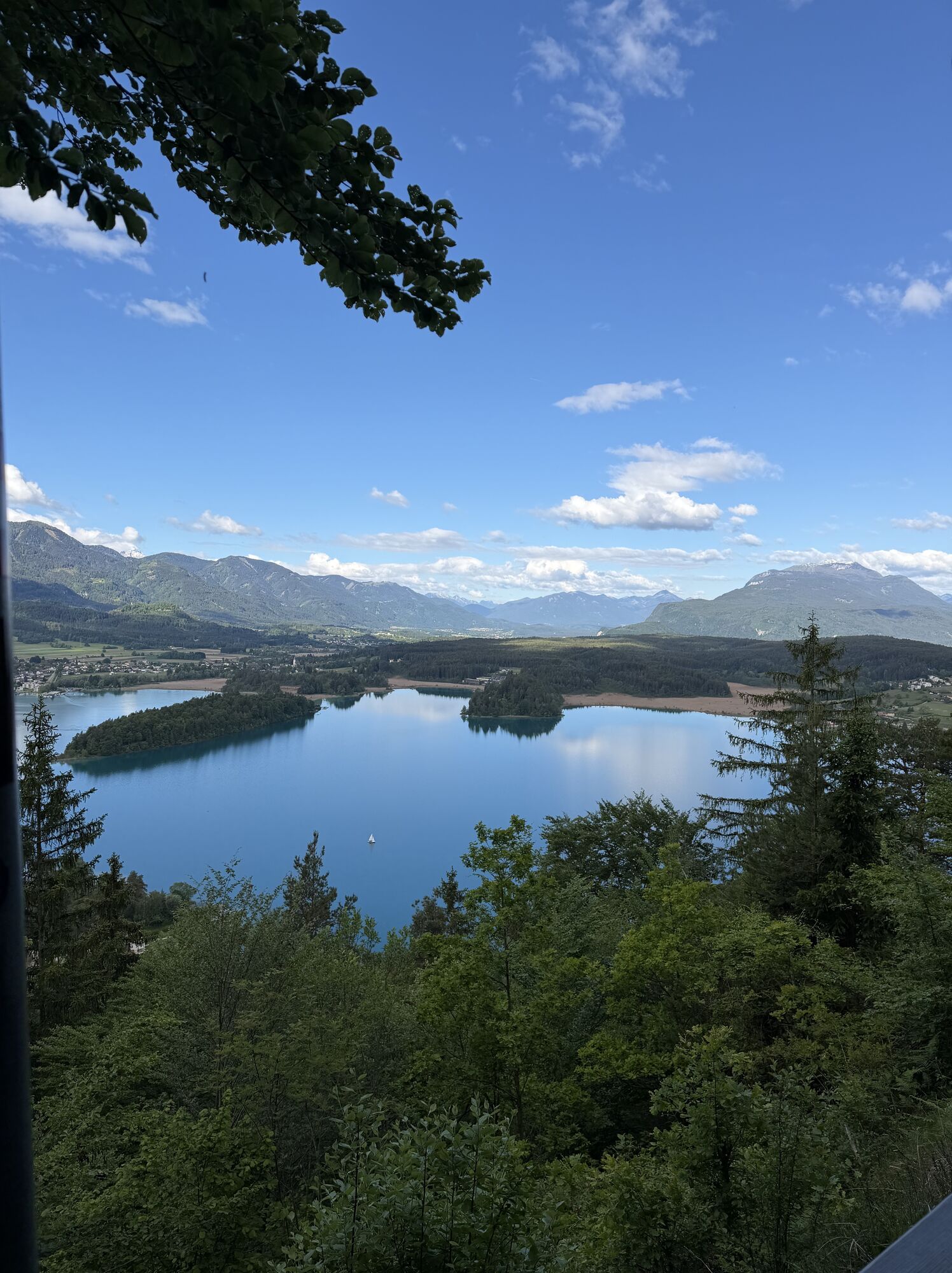
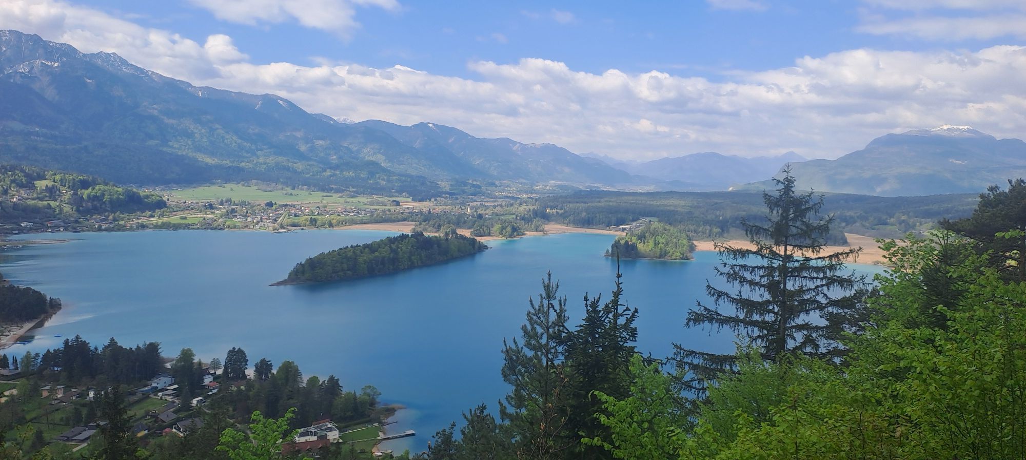
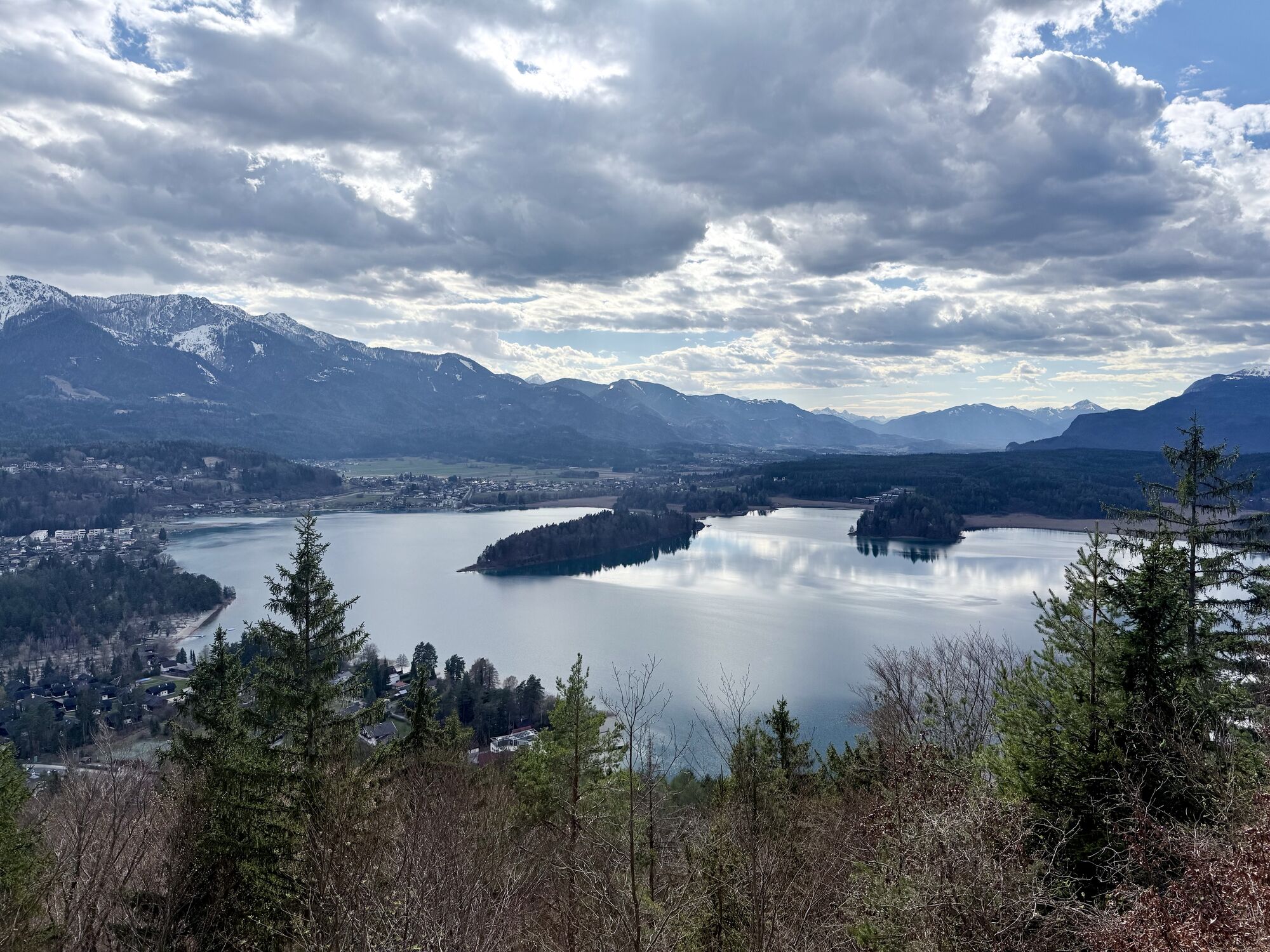
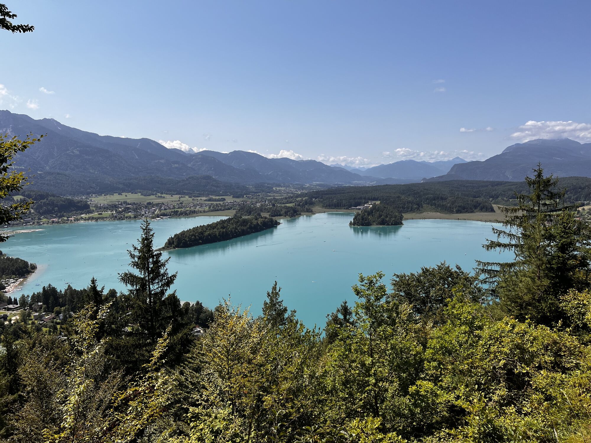
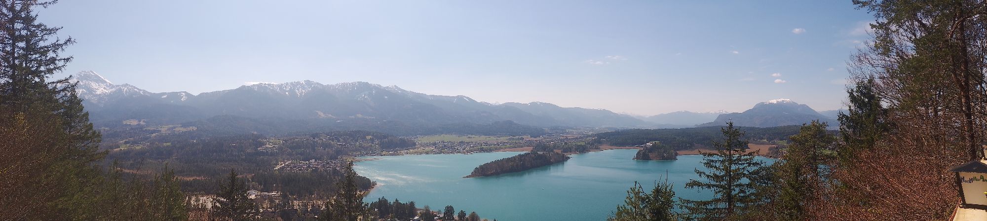
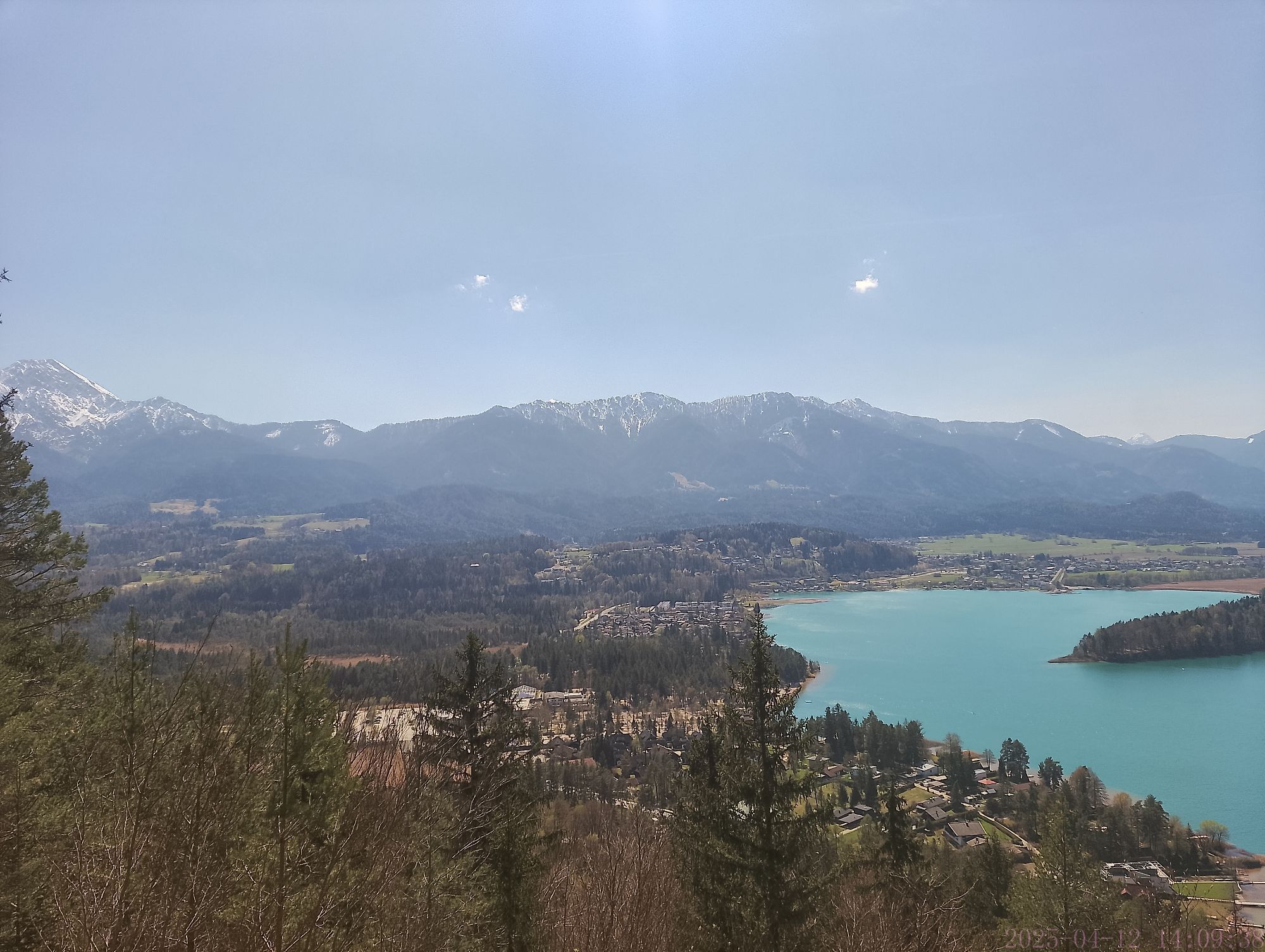
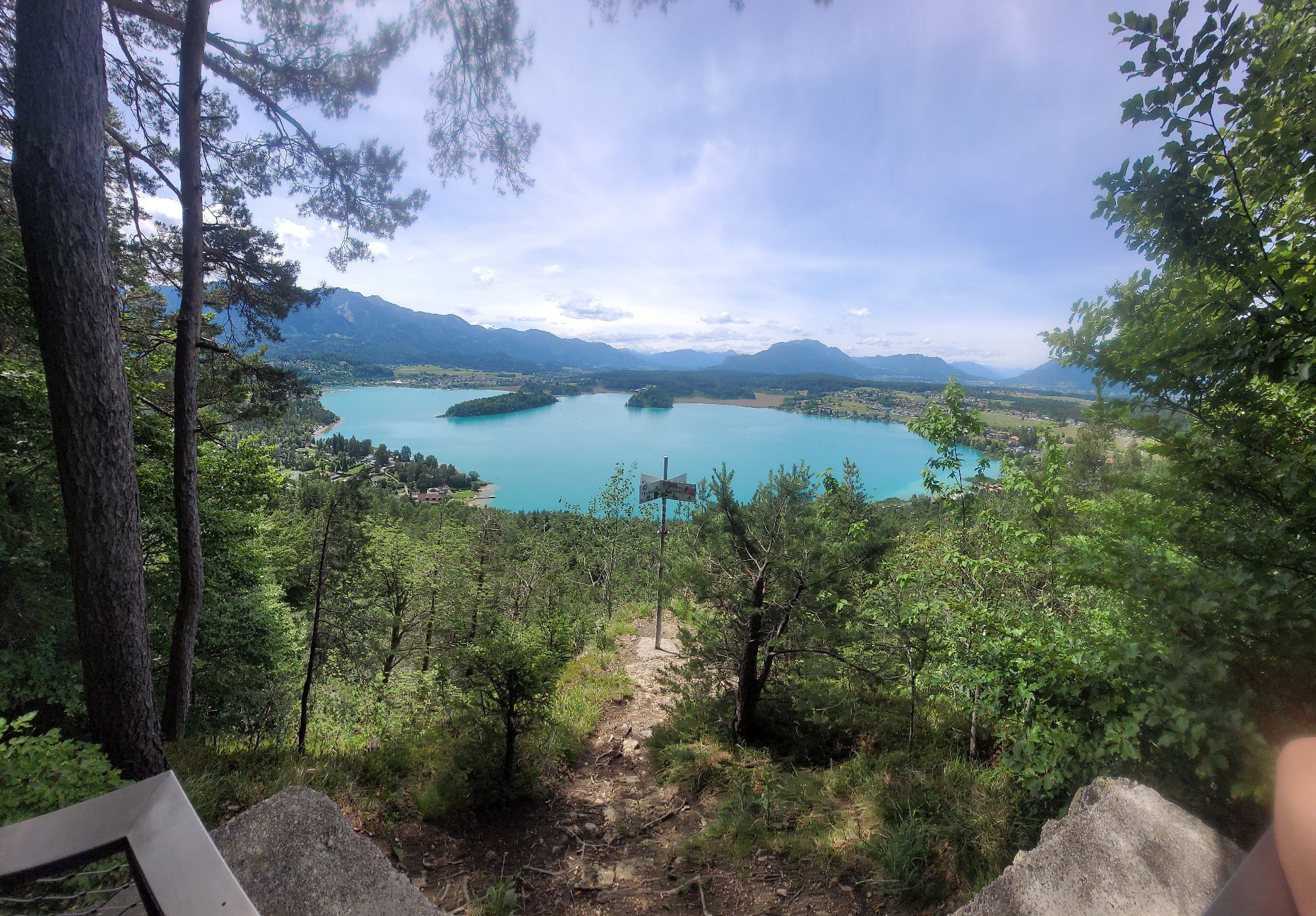
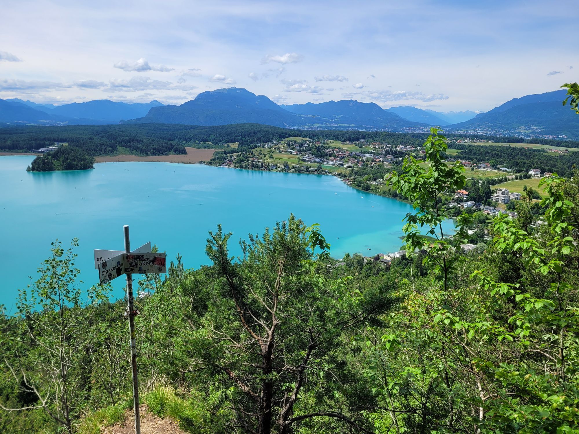
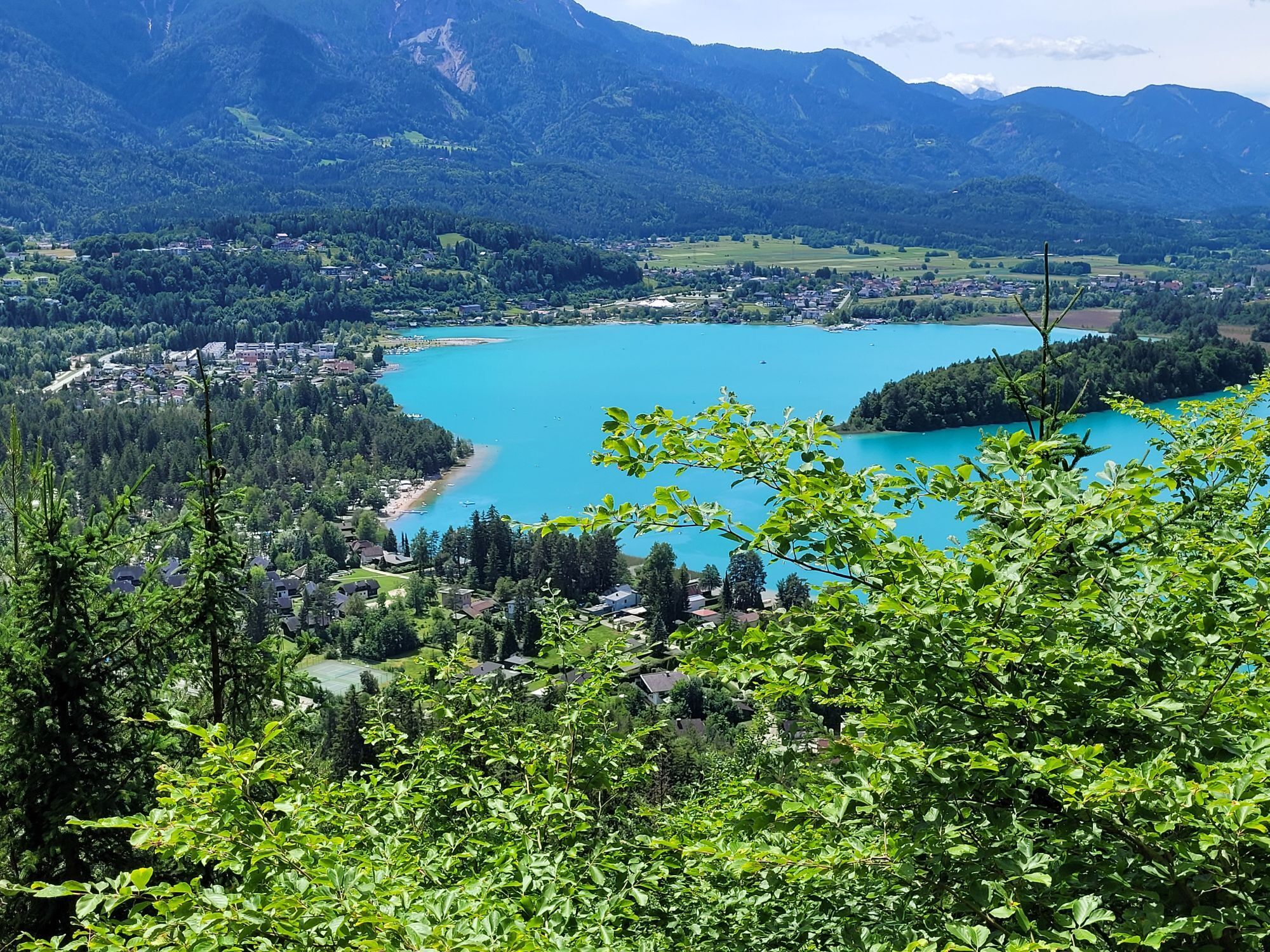
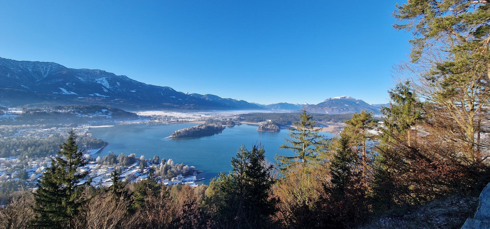
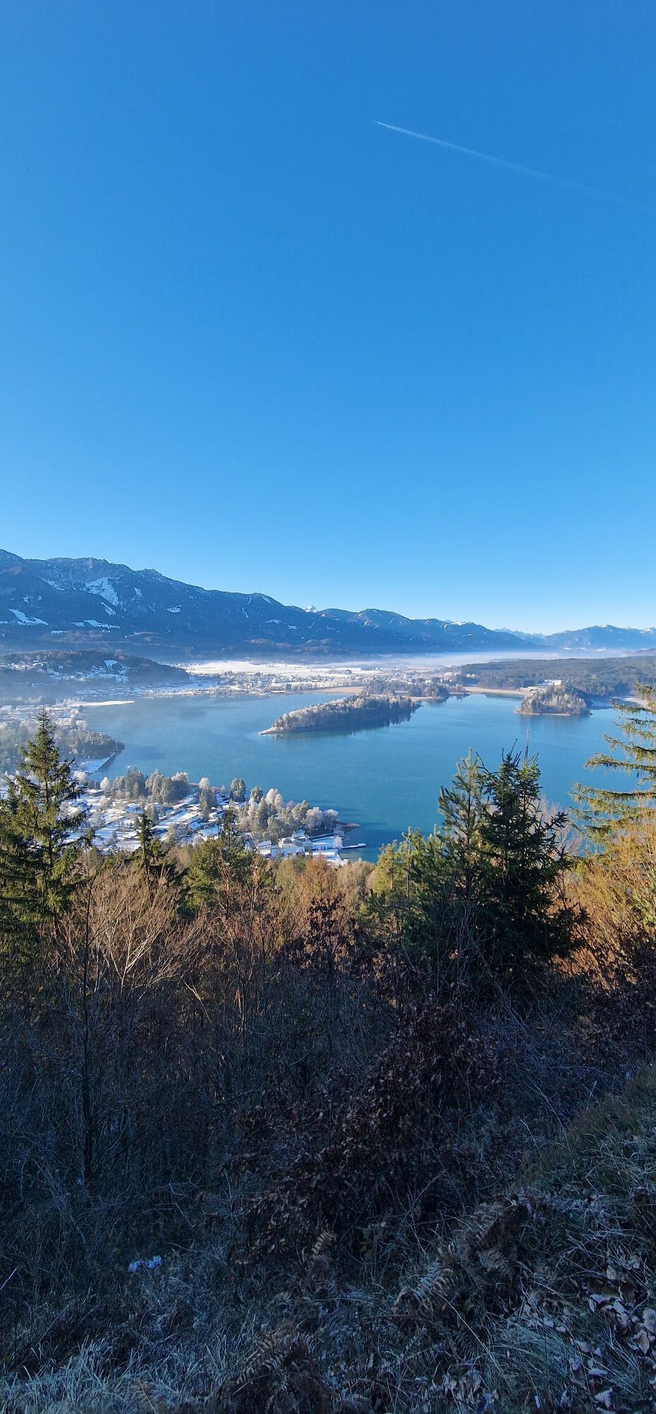
In order to see anything, you must be up high in the mountains. Tabor Peak stands at 725 meters and offers an optimal vantage point of the land below, for those who want a romantic view.
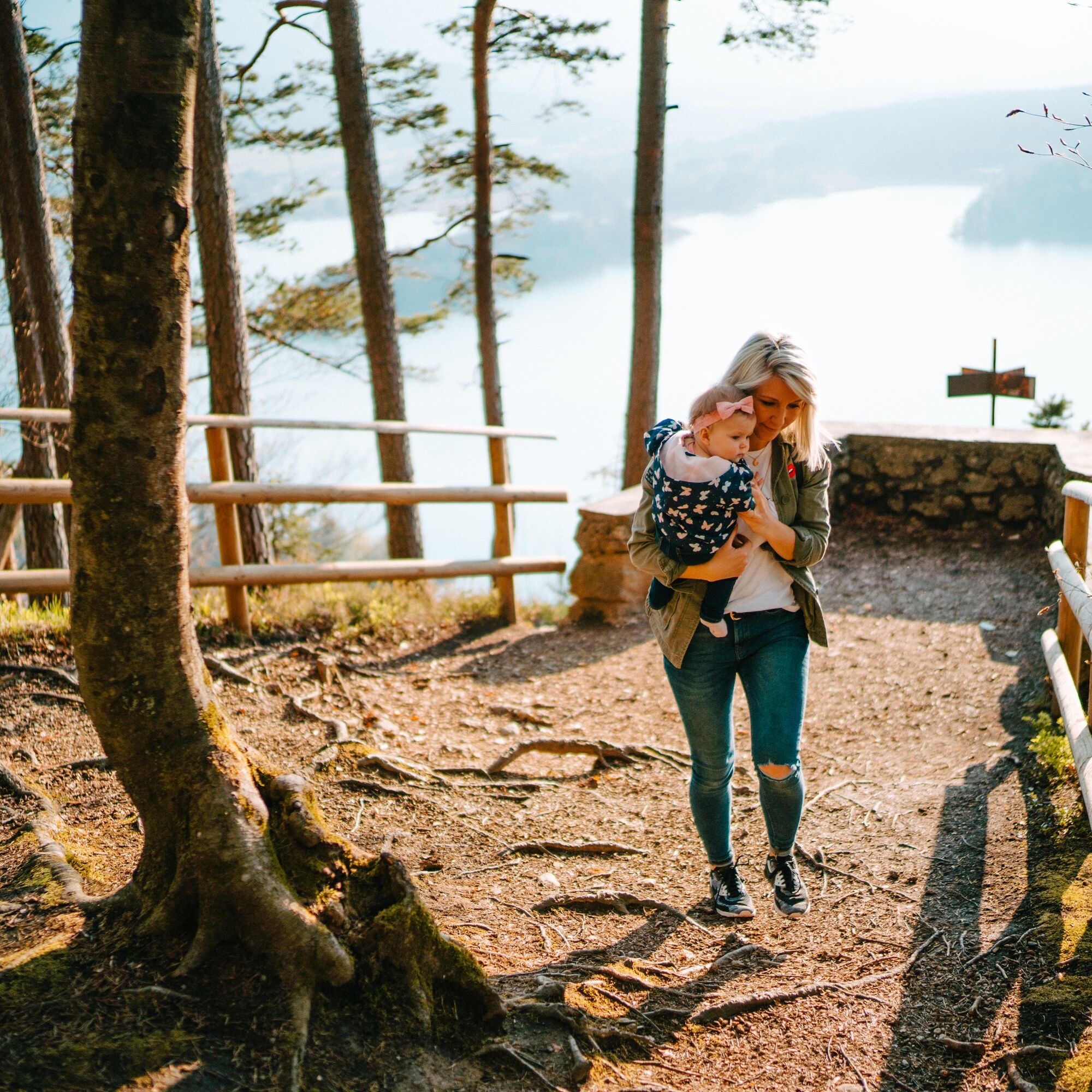
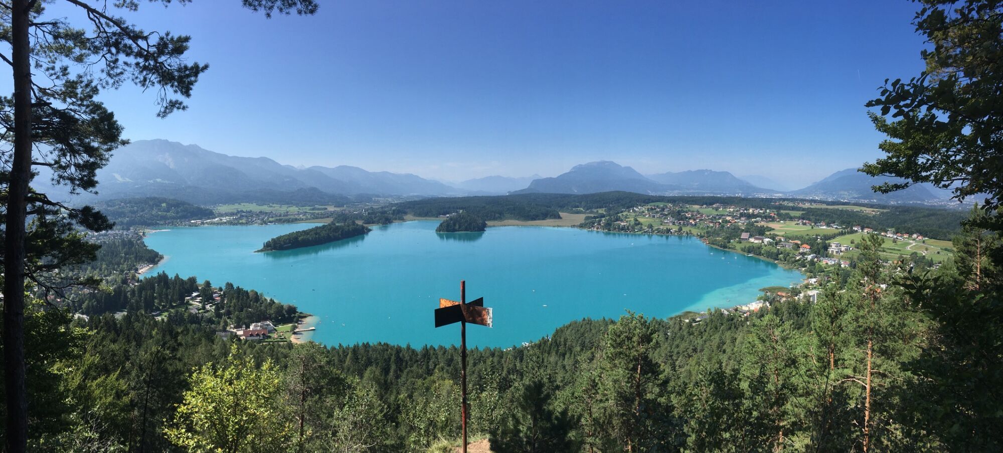

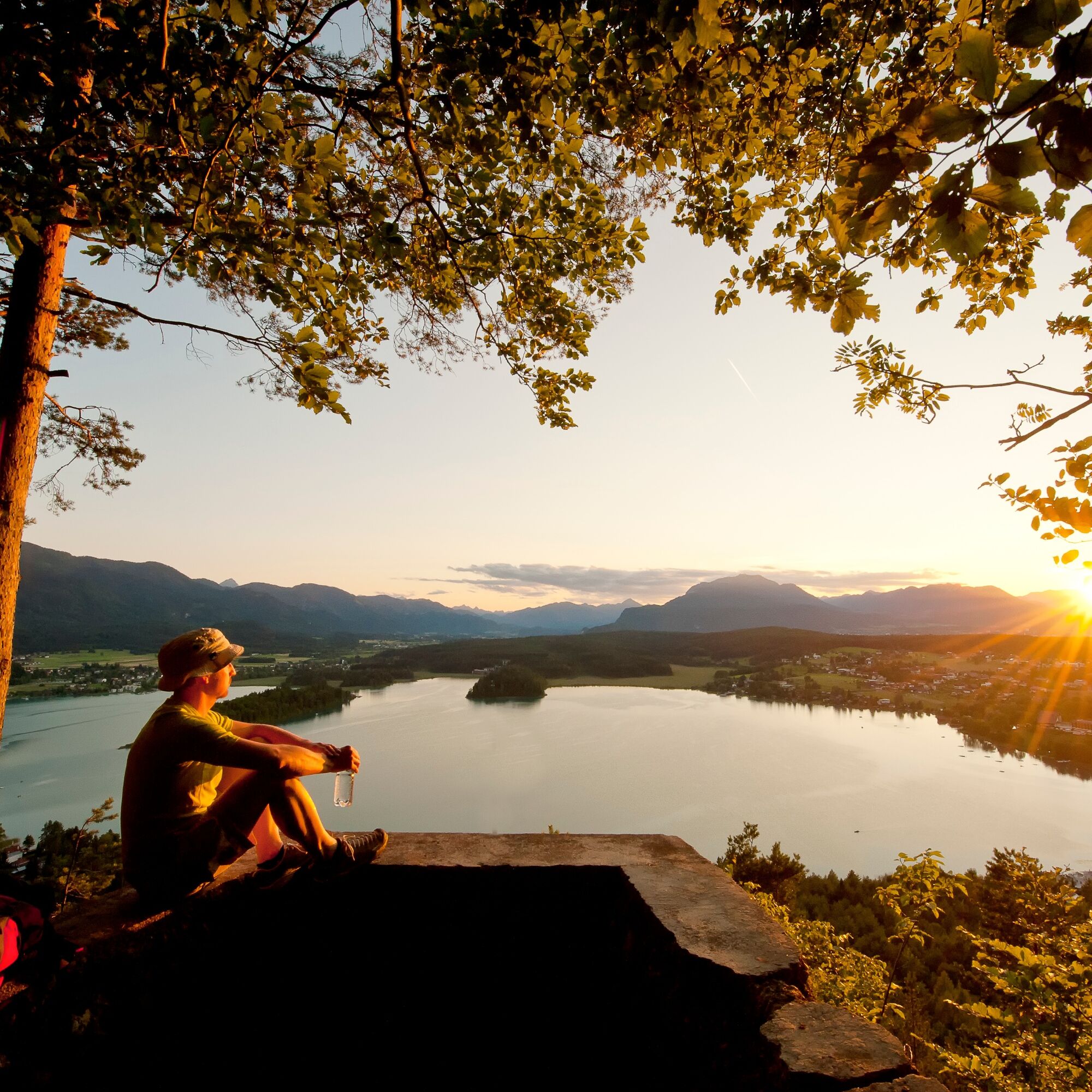
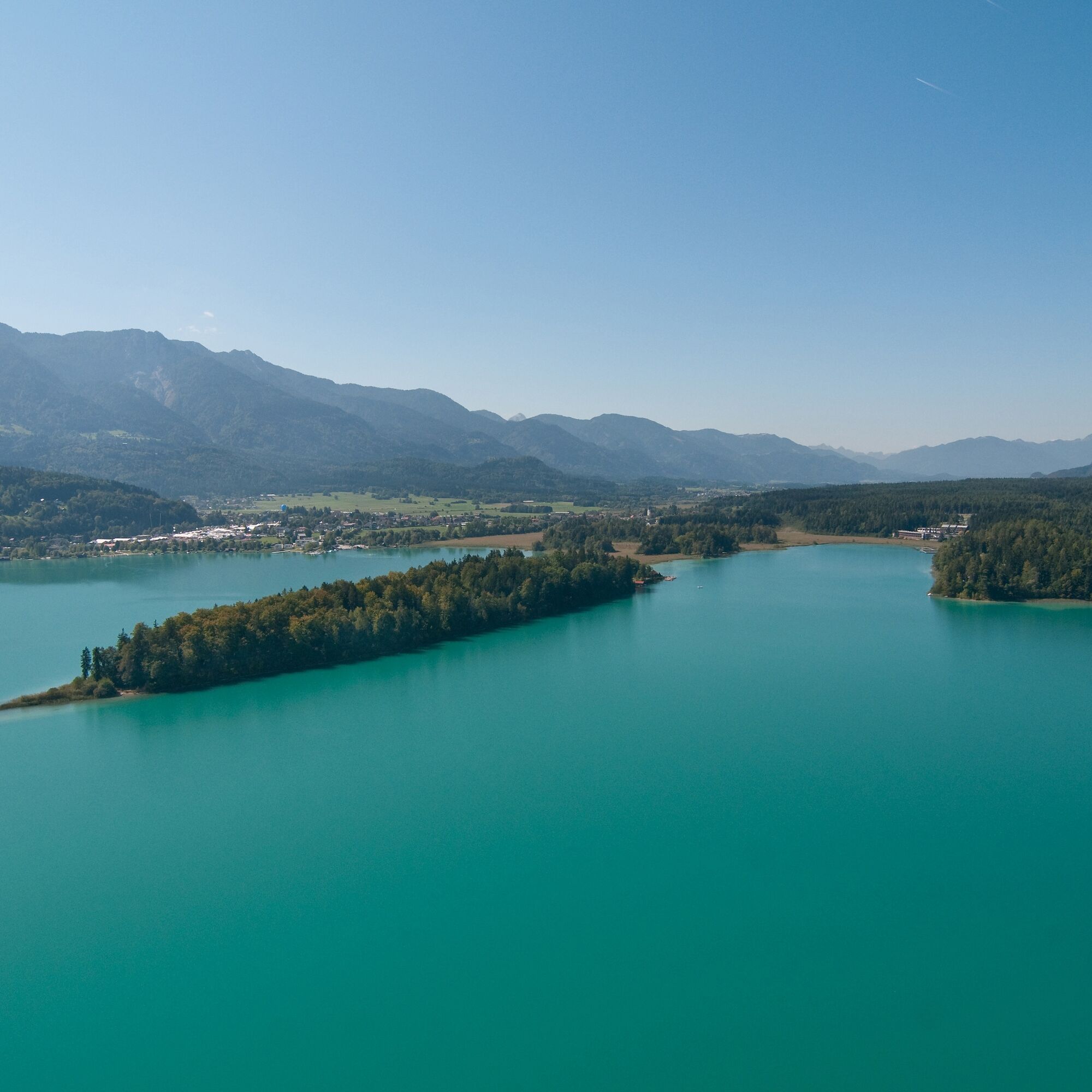
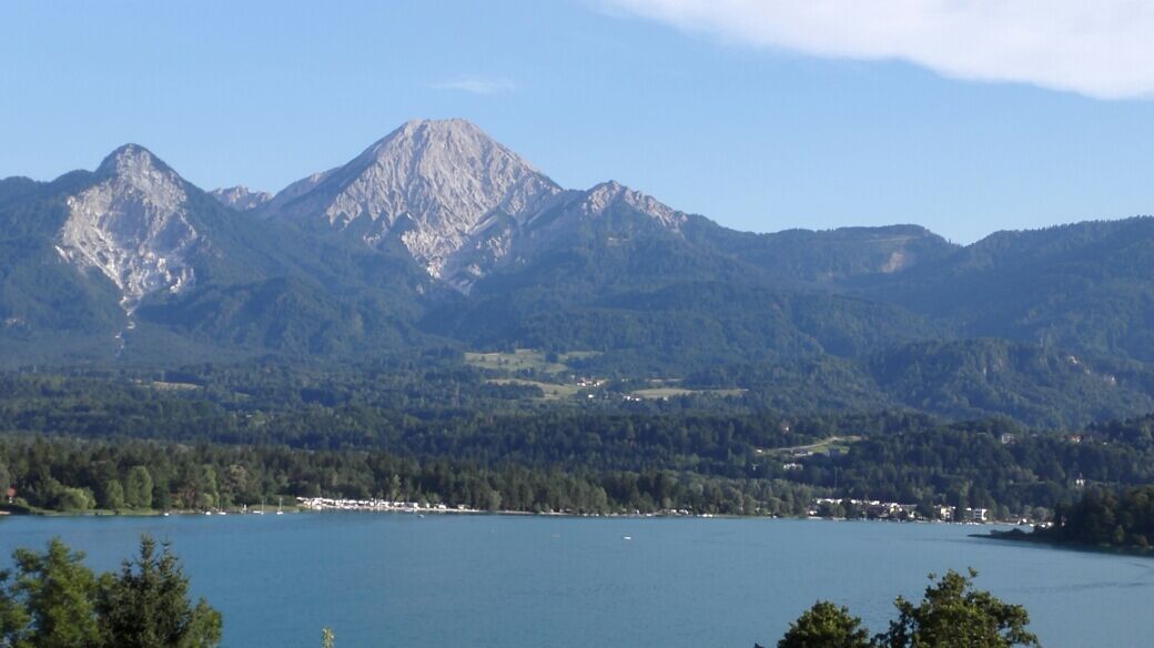
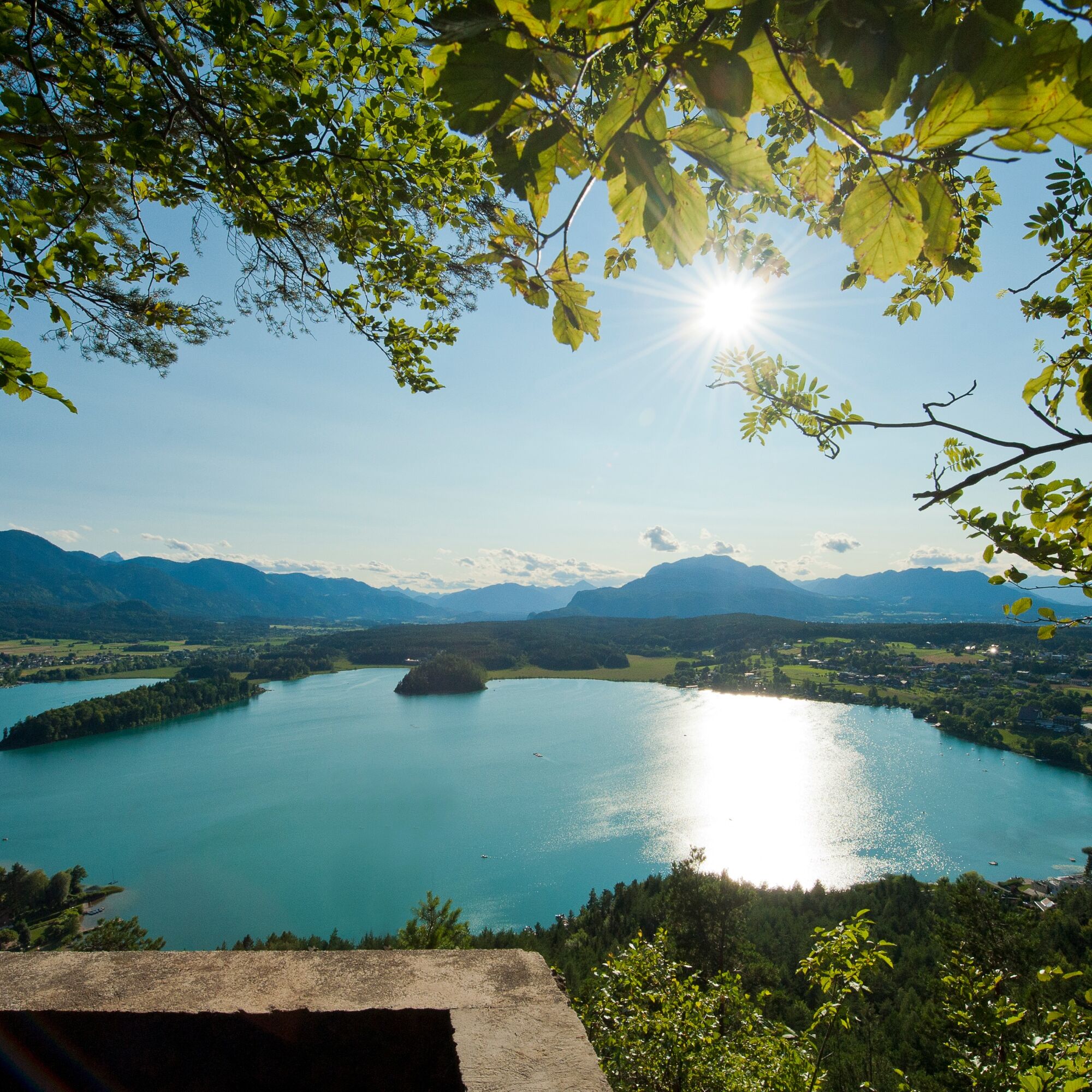

Start this hike at Neuegg on Lake Faak, behind "Vitalhotel Sonnblick." The hike begins with a steep section but once you reach the fish pond, it becomes an easy stroll to Egg. You then meet up with the forest road heading uphill to the large playground. Here you can take a nice break and hang out on the playground. You then must take the forest road to a clearly marked intersection. Take a right here onto a short but steep path on Taborstrasse right before the last parking lot. Final spurt: the summit of the Tabor will be reached in just a few minutes, where the view over Lake Faak is truly stunning.
As the sun slowly disappears, you can't help but wonder who is sitting behind the Dobratsch, pulling this magnificent red-orange ball down on a string. It is simply beautiful. When the natural spectacle ends, it is time for the descent, which begins right at the sun deck. You take the forest trail (Waldweg) to the left, crossing under the cables of the high-ropes course. From here you spend the rest of the trip walking downwards on the ledge on Taborstrasse- no worries, the barriers are strong! Keep right at every branch of the road. The final spurt is on Taborstrasse to the starting point.
Tak
Athletic shoes and drinking water.
You can reach Lake Faak with the A2 highway- exit "Villach-Faaker See"- or with the A11 at exit "St. Niklas."
The post busses drive to a stop right across from Egg Beach (Strandbad Egg)- from there you are only a few meters from the starting point.
On cloudy days there are enough parking spots next to the beach- if the sun is out there are also parking spaces across from the Arneitz and Anderwald campgrounds.
T2
A visit to the "Hochhinauf" high ropes course is always recommended- on Thursdays at 4 PM you can also use the archery range.


Kamery internetowe z trasy
Uzyskaj wgląd
Zawsze na żywo z ponad 9 500 kamer internetowych. bergfex Jako użytkownik Pro, możesz teraz zobaczyć odpowiednie kamery internetowe dla wielu wycieczek w aplikacji wycieczki od. Pozwala to na bezpośredni podgląd aktualnych warunków.
Aktywności na trasie
-

Finkenstein am Faaker See, Kärnten/Österreich
30.08.2026 – Wędrówka -

Finkenstein am Faaker See, Kärnten/Österreich
30.08.2026 – Wędrówka -
Finkenstein am Faaker See, Kärnten/Österreich
20.08.2026 – Wędrówka -
Finkenstein am Faaker See, Kärnten/Österreich
19.08.2026 – Wędrówka -
Tabor, Kärnten/Österreich
21.07.2026 – Wędrówka
Popularne wycieczki w okolicy
-
4,4
Mittagskogel - Rundwanderung
ciężkiWędrówka 14,5 km -
4,7
4 Huts route
średniWędrówka 8,96 km -
4,6
Hoher Gallin route
średniWędrówka 7,09 km -
4,4
Finsterbach Waterfalls - Circular route
średniWędrówka 3,87 km -
4,5
Mallestiger Mittagskogel
średniWędrówka 8,17 km -
4,3
Lake circular trail
światłoNordic Walking 9,85 km -
4,8
Schwarzkogel-Runde über Jepzasattel Schwarzkogel, Mallestiger Mittagskogel
średniWędrówka 13,4 km -
4,7
Rotschitza Klamm Klettersteig B/C
średniVia ferrata 3,73 km -
4,6
Baumgtn. Höhe, Mallestiger Mittags- und Schwarzkogel
ciężkiWędrówka zimą 10,7 km -
4,1
Slow Trail Bleistätter Moor (Variant A)
światłoWędrówka 7,22 km
Wędrówki i tropienie


Nie przegap ofert i inspiracji na następne wakacje
Twój adres e-mail została dodana do listy mailingowej.





