


60 km – Magical Midsummer Hike
Poziom trudności: T2


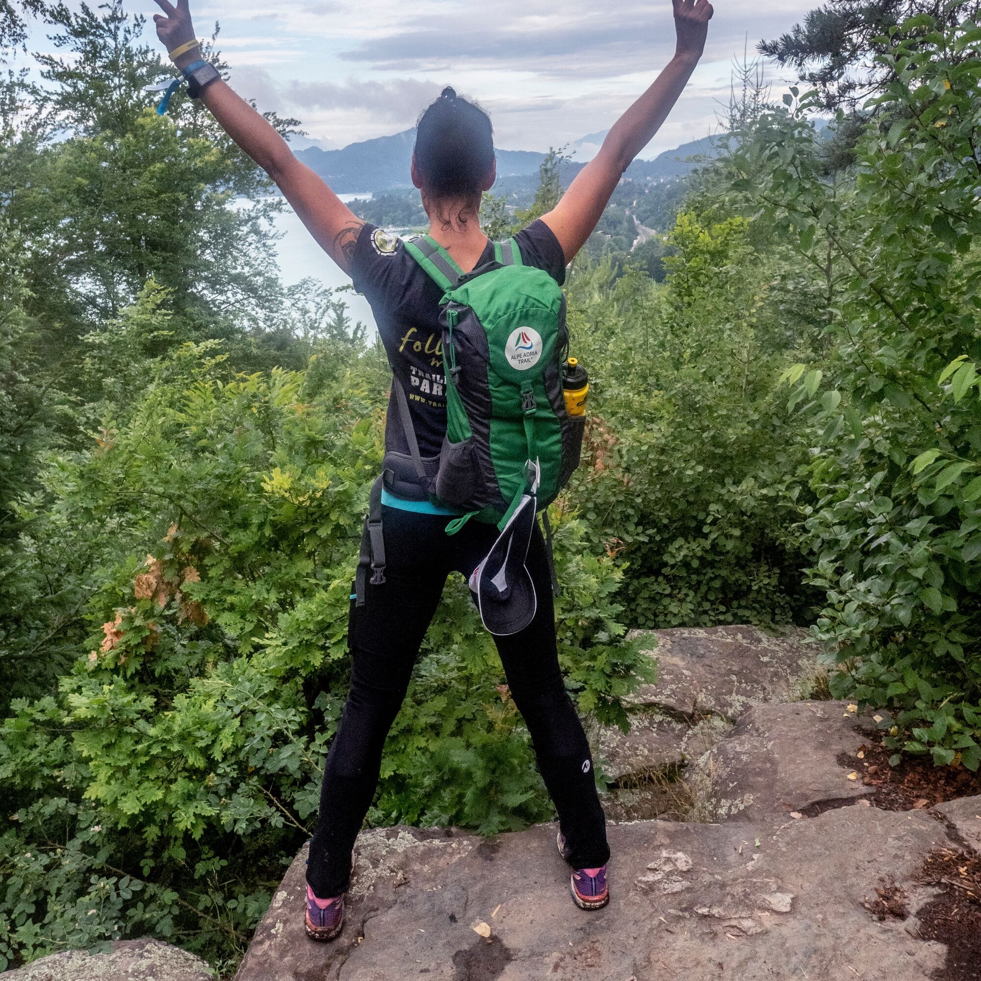
It is a hiking event of a very special kind. Firstly, you’ll be hiking through one of the shortest nights of the year. Secondly, you’ll experience the magic of the summer solstice at a number of activity...
Those who join the Solstice Hike aren’t out to win a race, but view participation entirely under the motto ‘The journey is the destination!’. Consequently, for many hikers, the idea of ‘reaching the finish’ and the ‘shared experience’ are just as central as the spiritual aspect. The conscious awareness of the changing movement of the sun still inspires many people today and is an expression of a deep connection with nature!
Consequently, the focus is on the experience itself, which is why there is ultimately no timekeeping or ranking during the hike.
Translated with DeepL.com (free version)
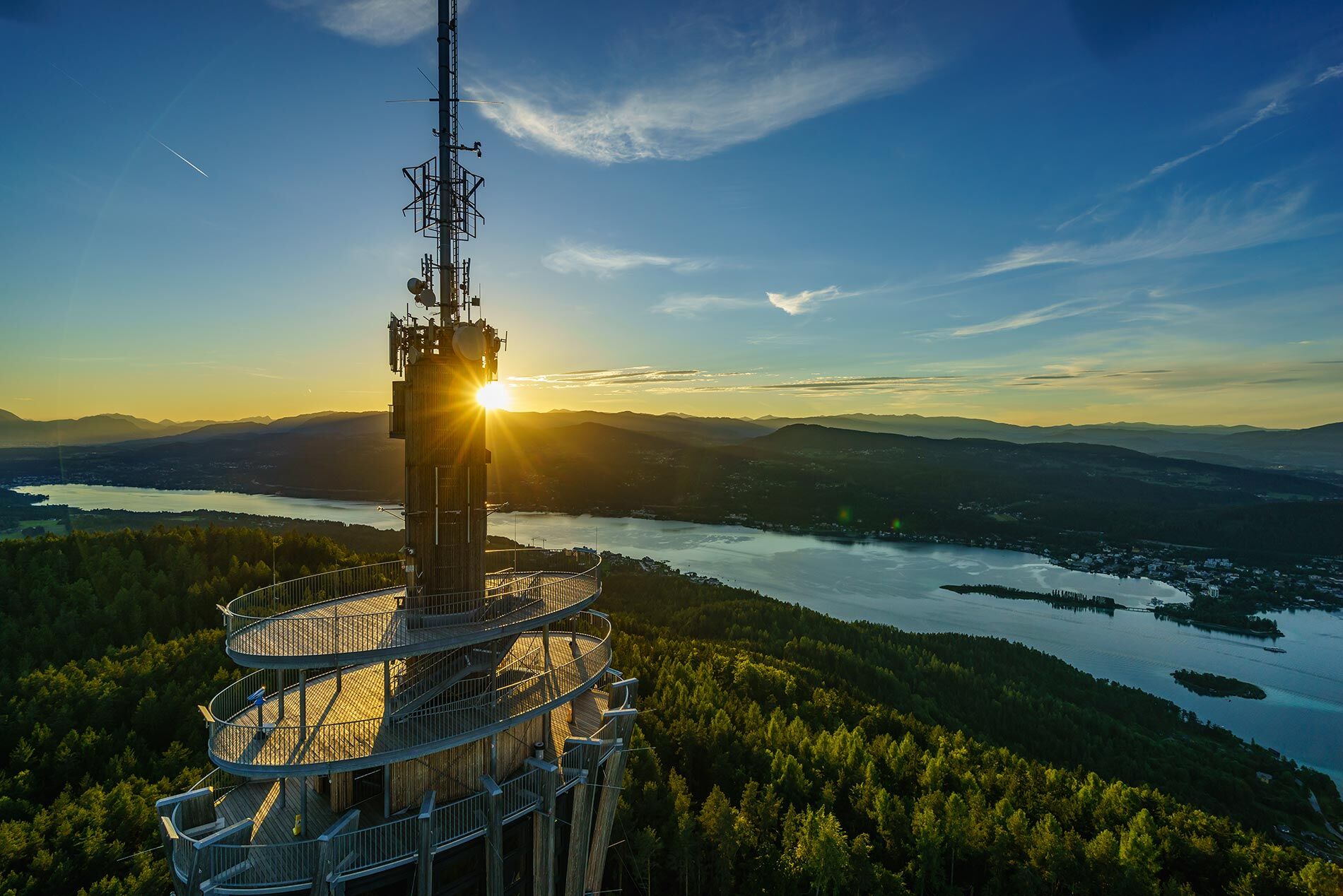
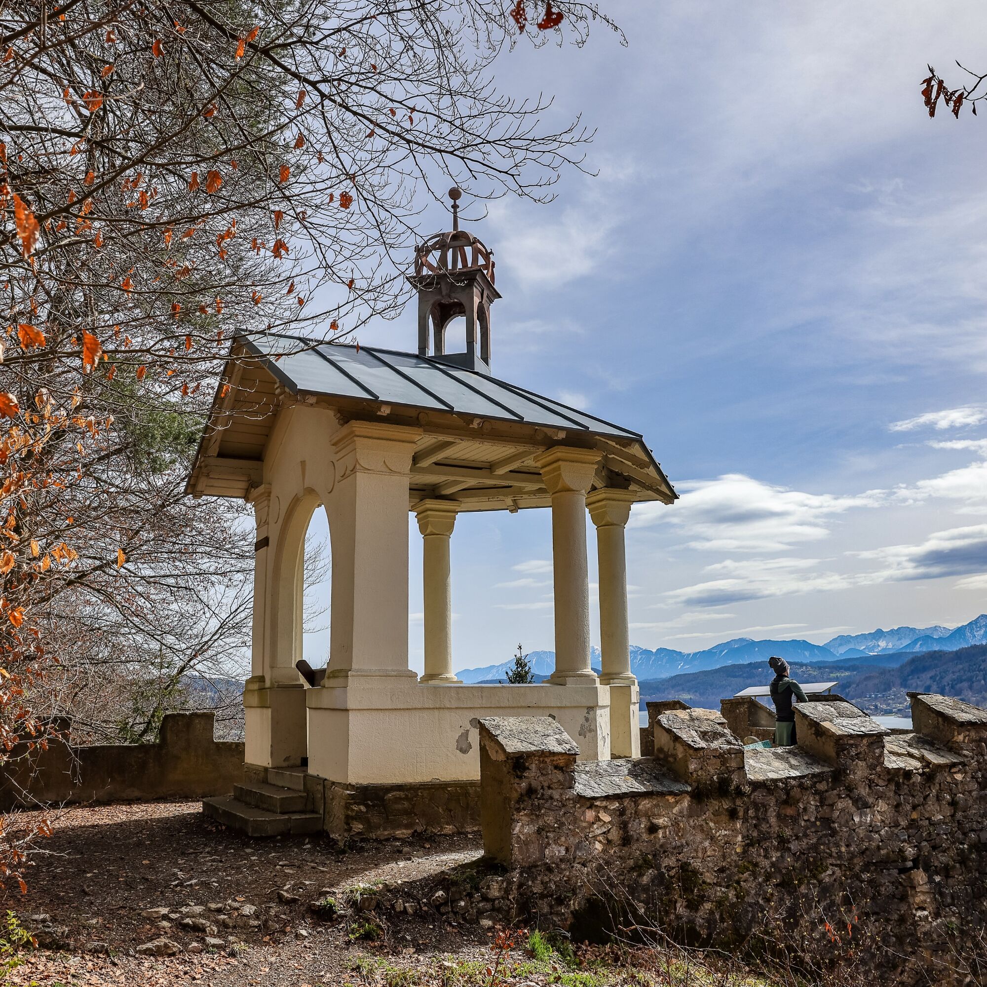
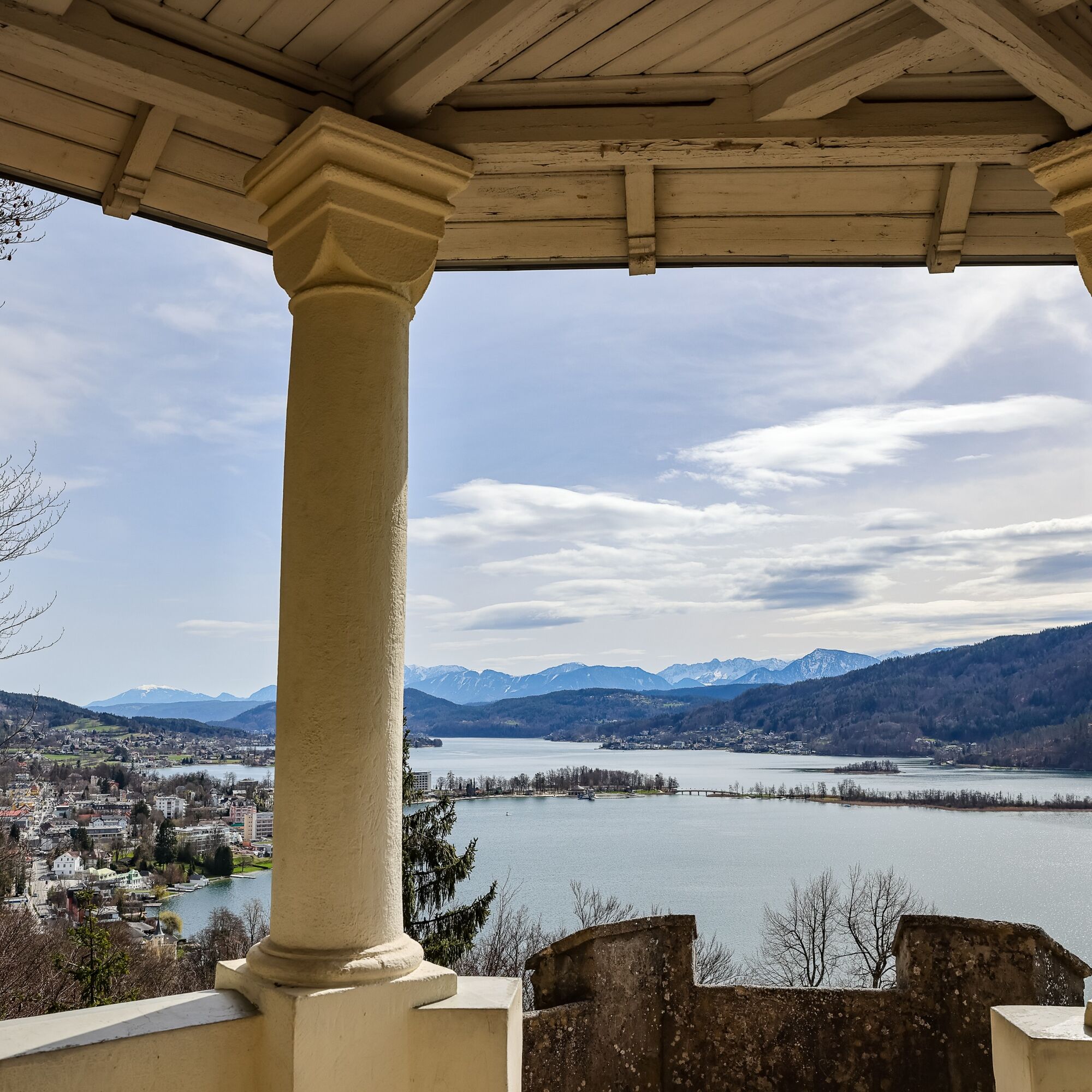
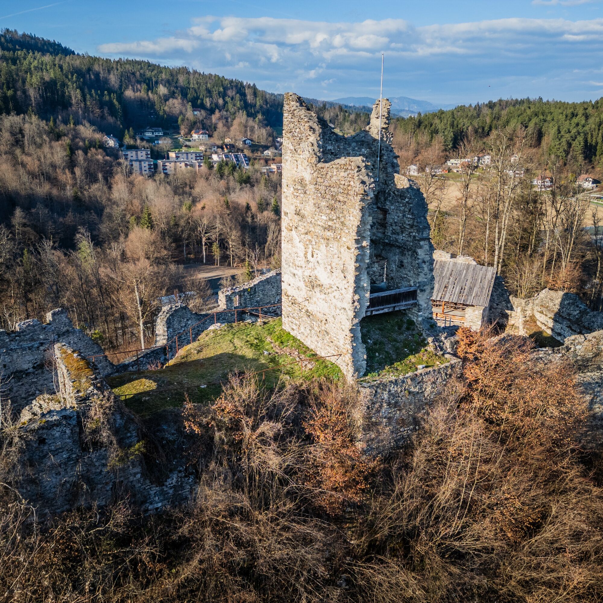
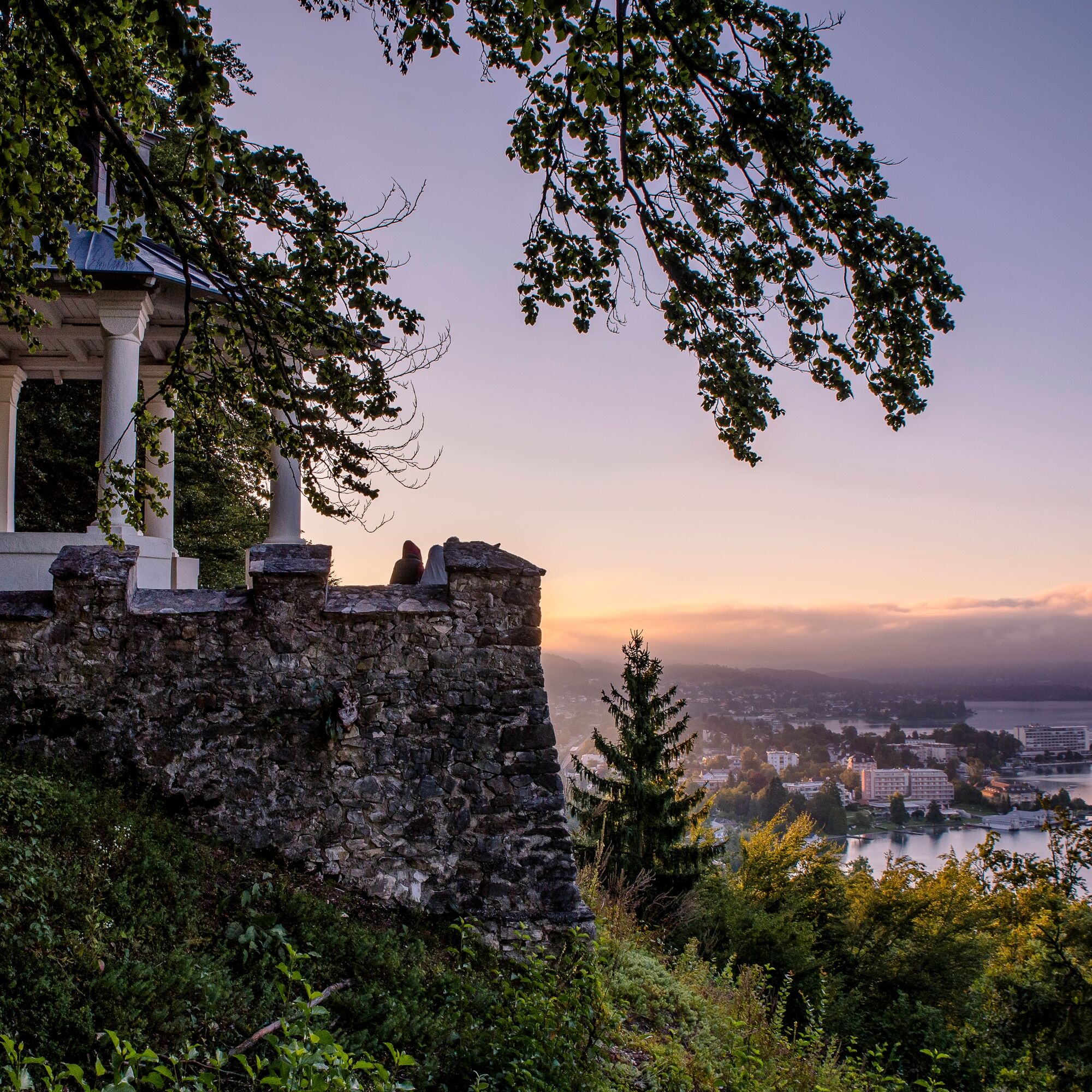
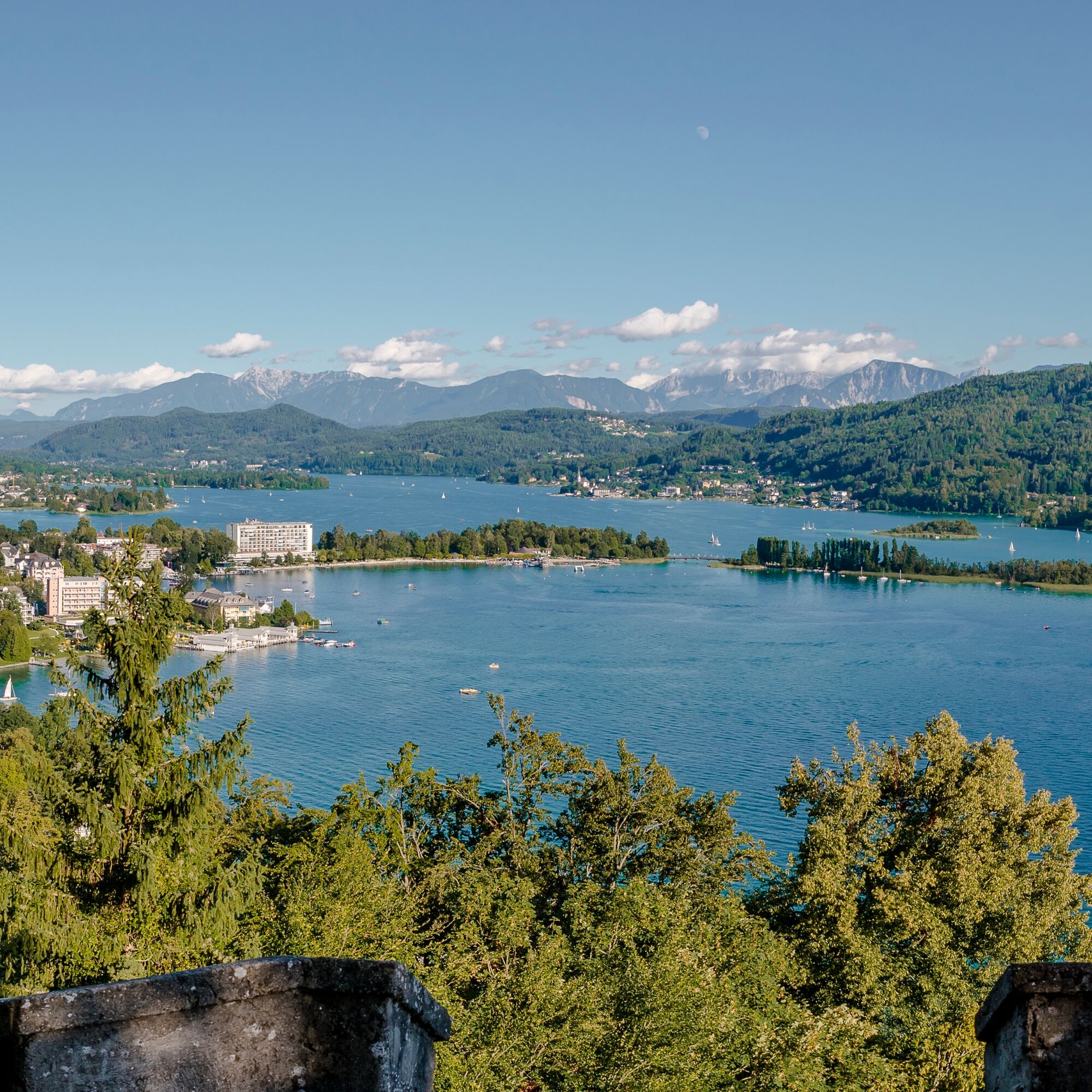
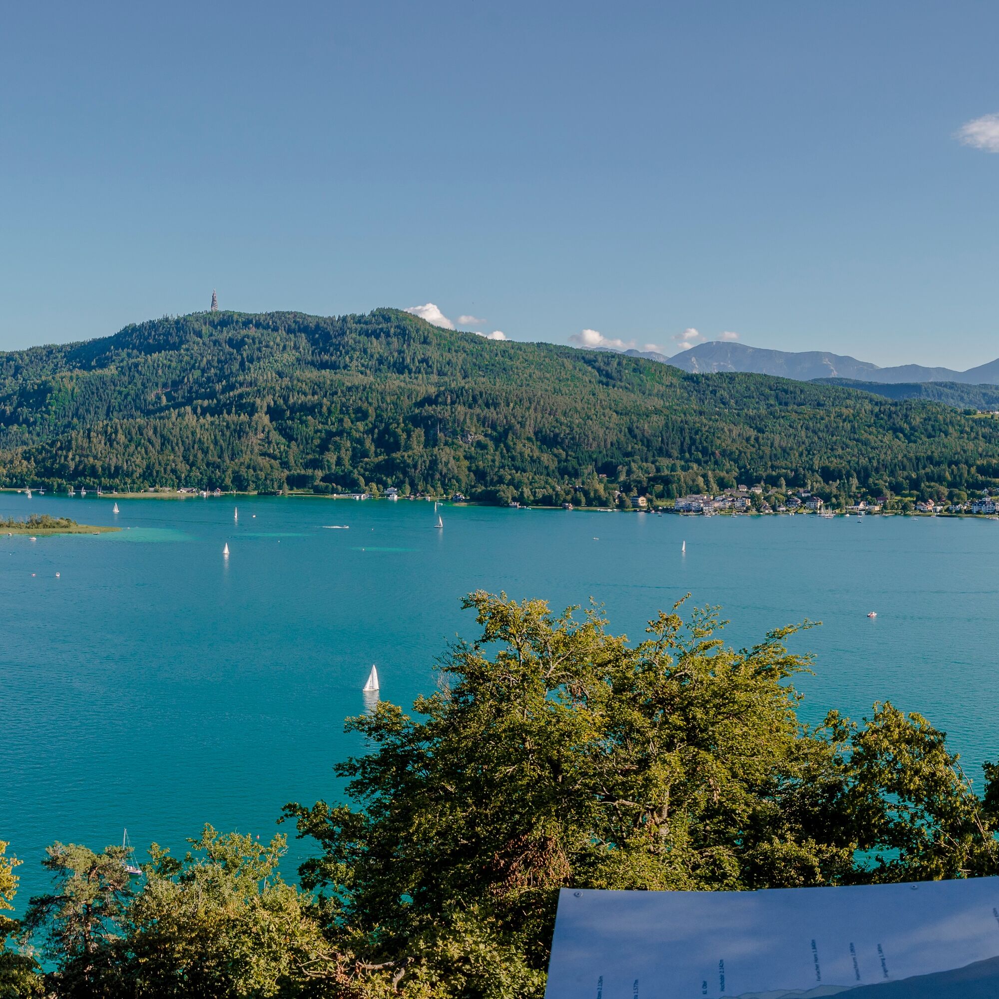
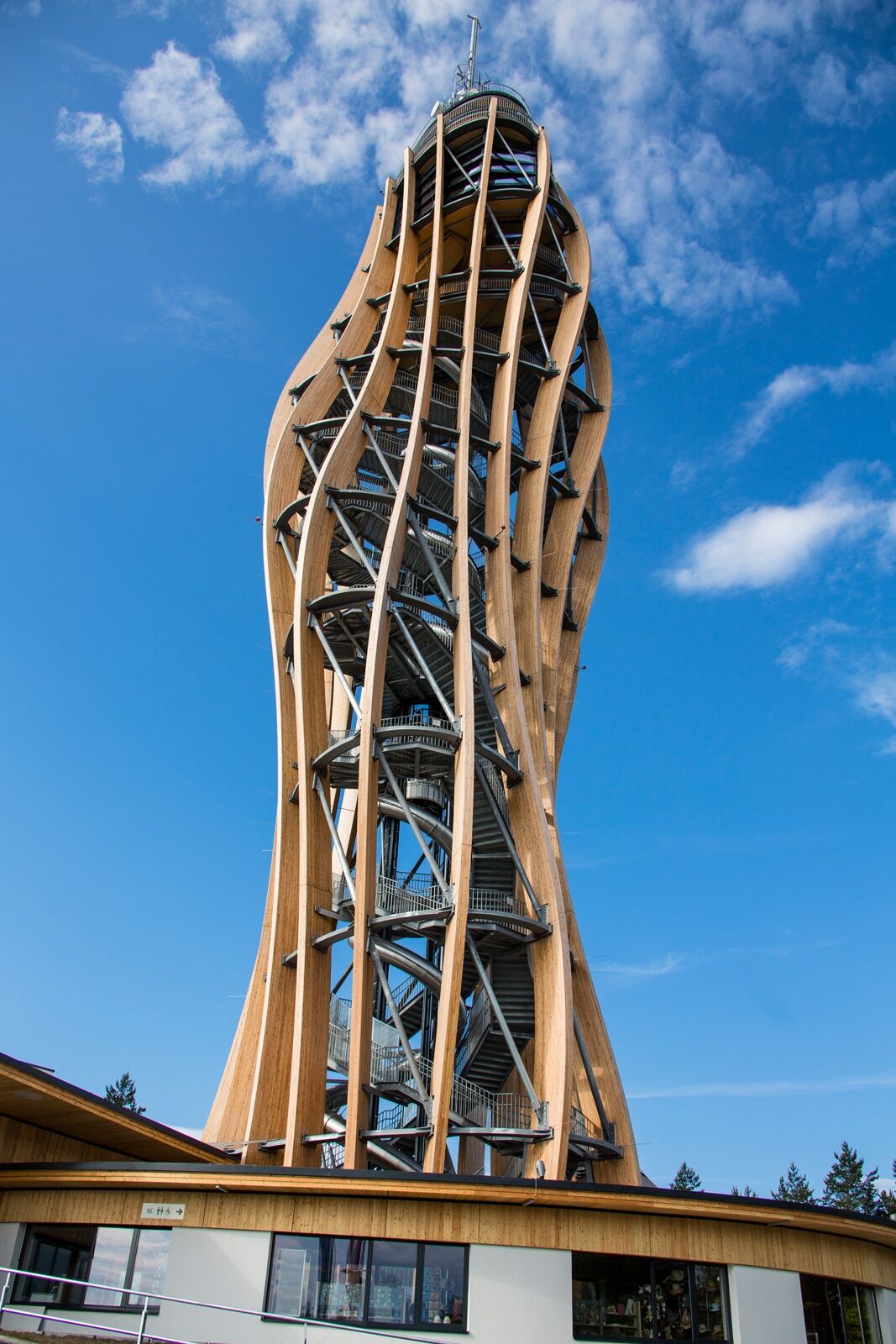
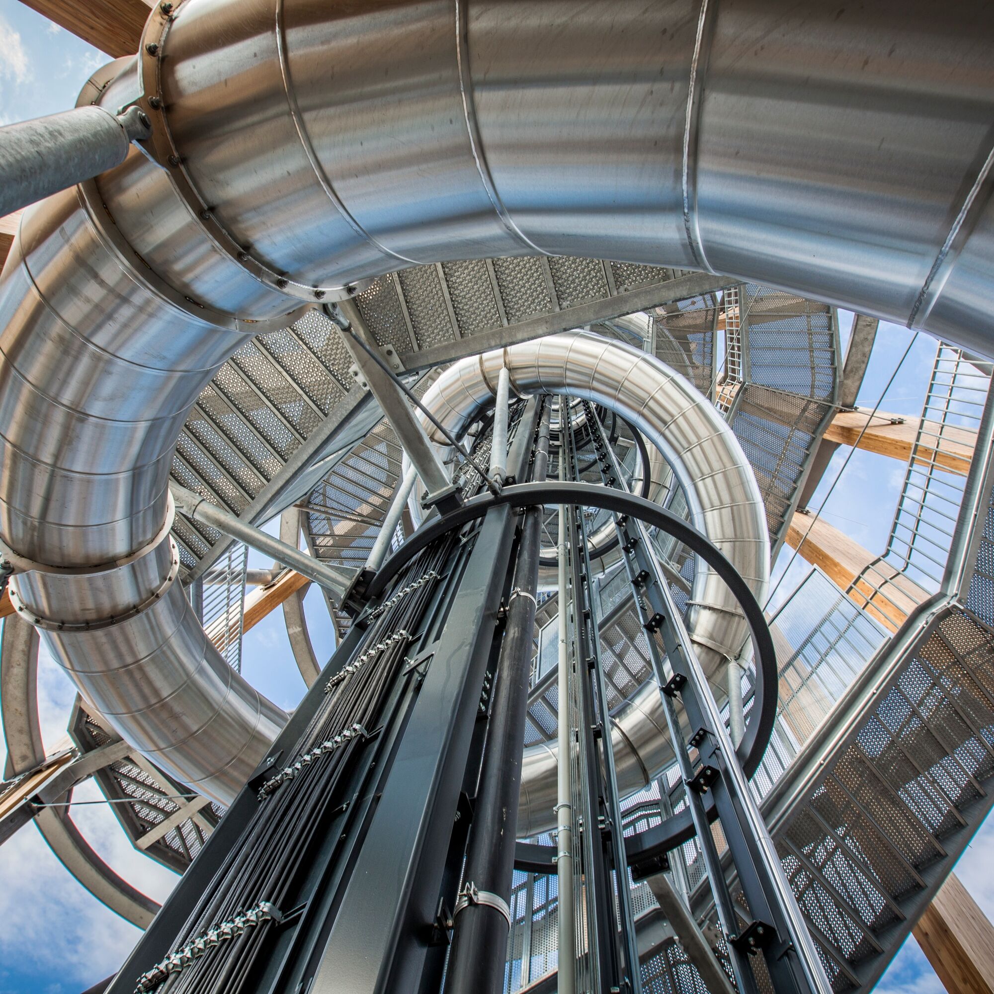

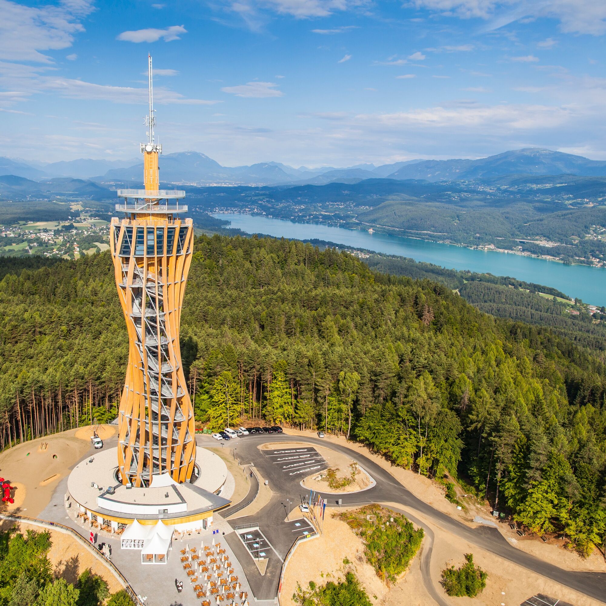
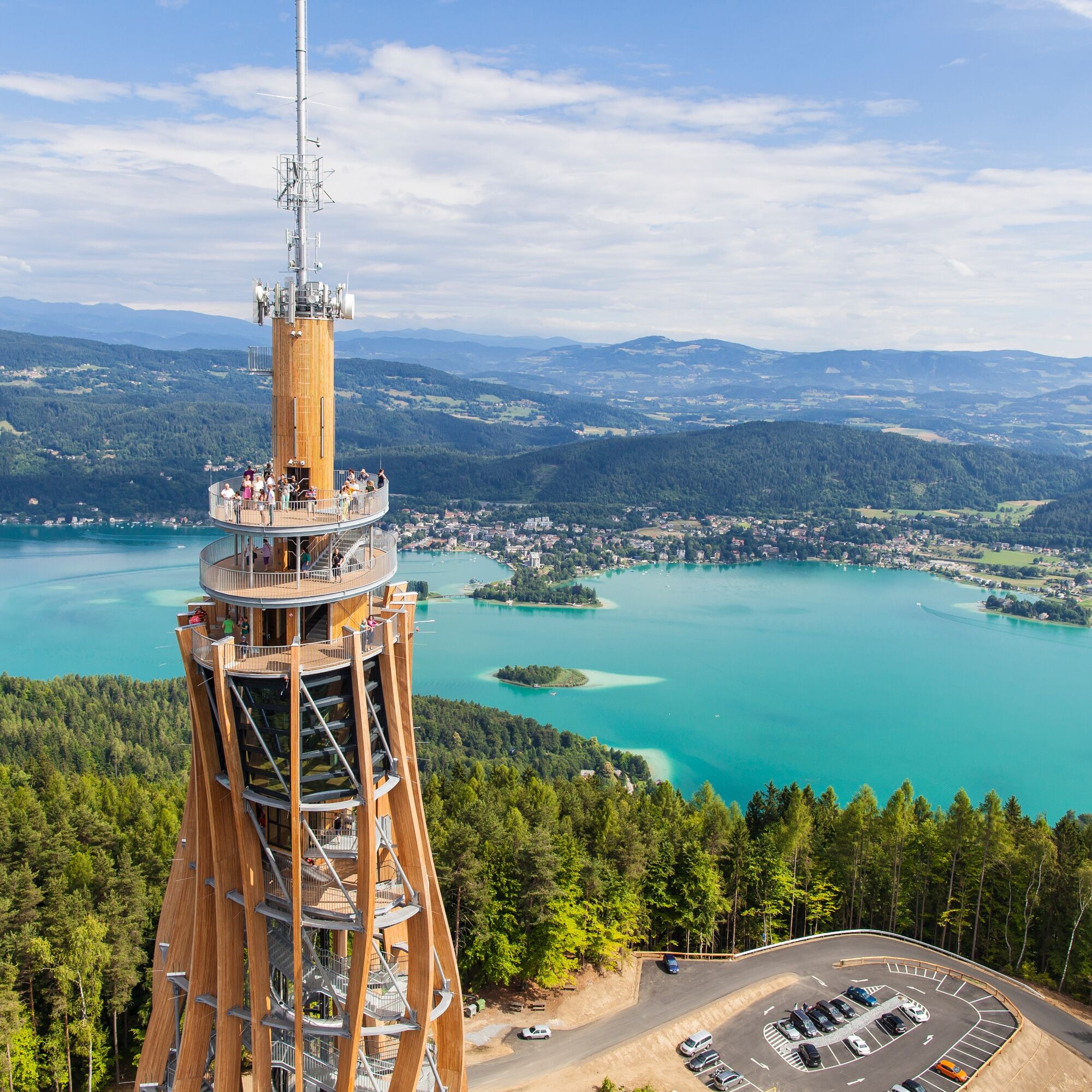
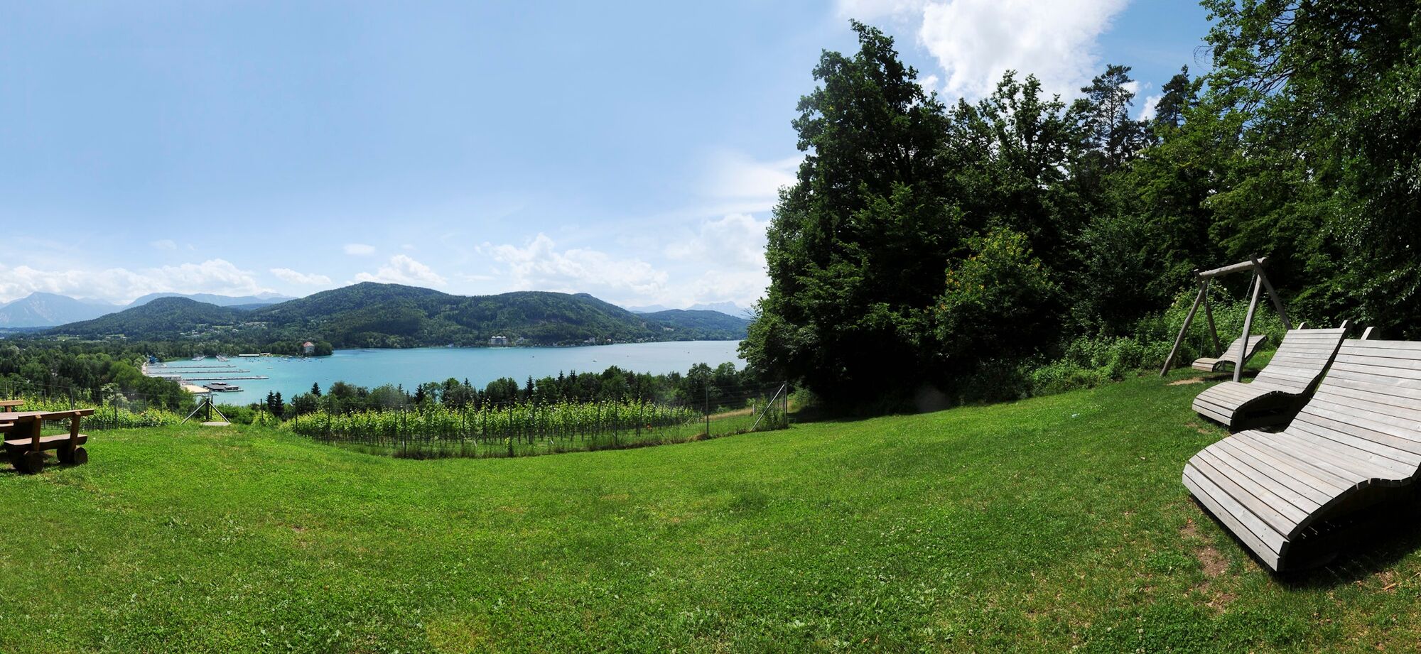
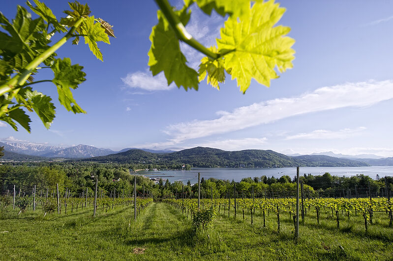
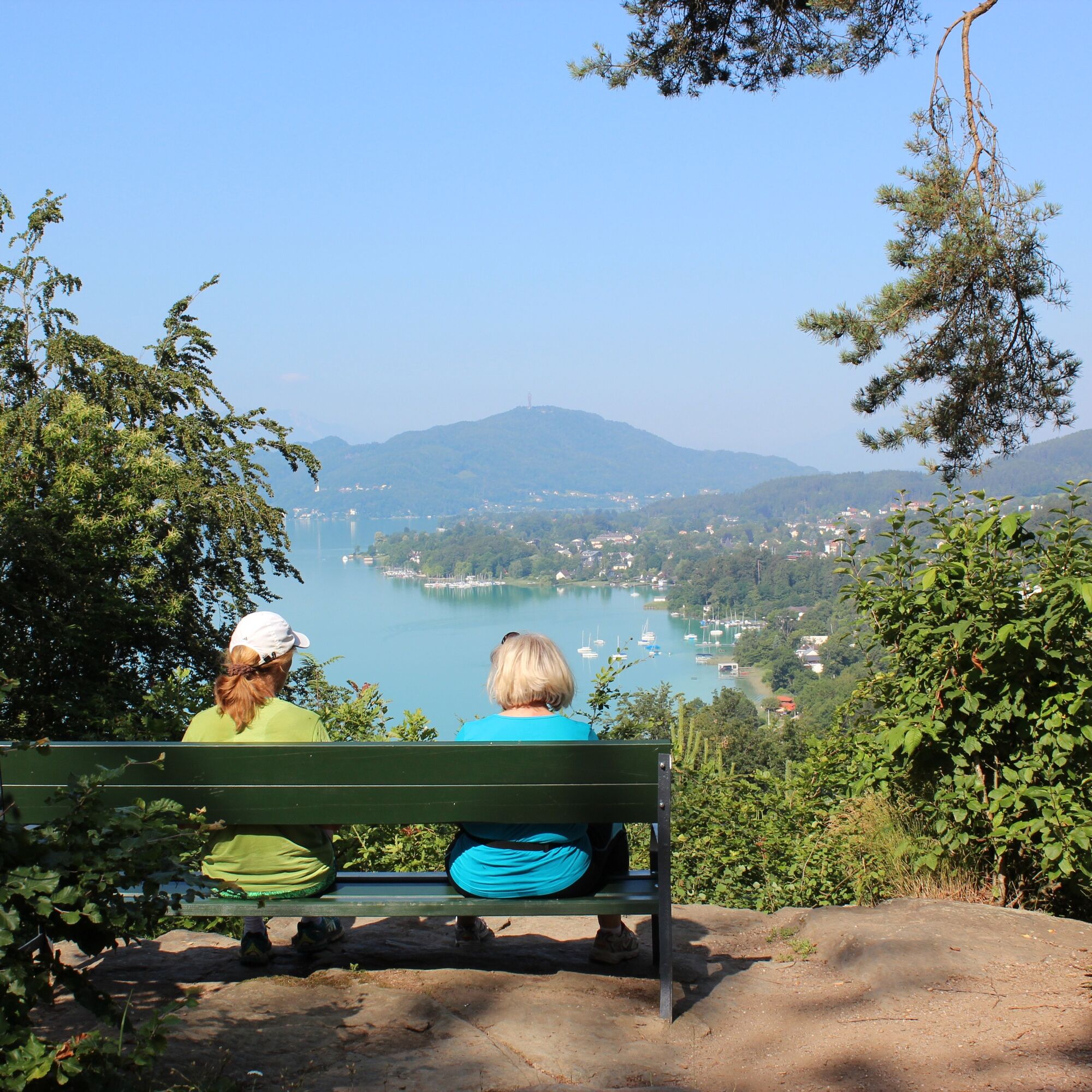
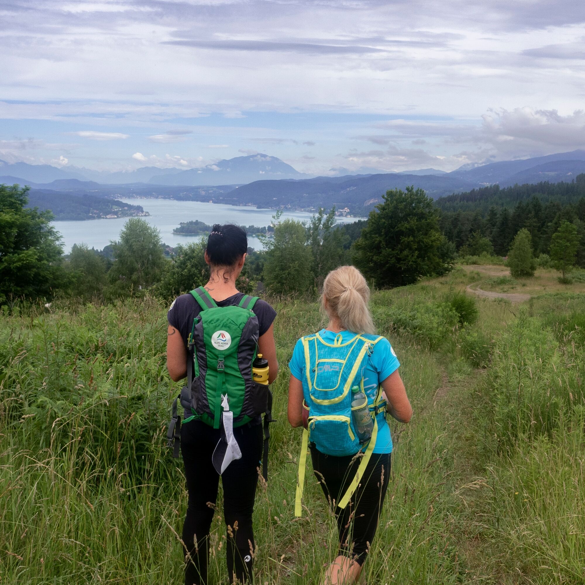
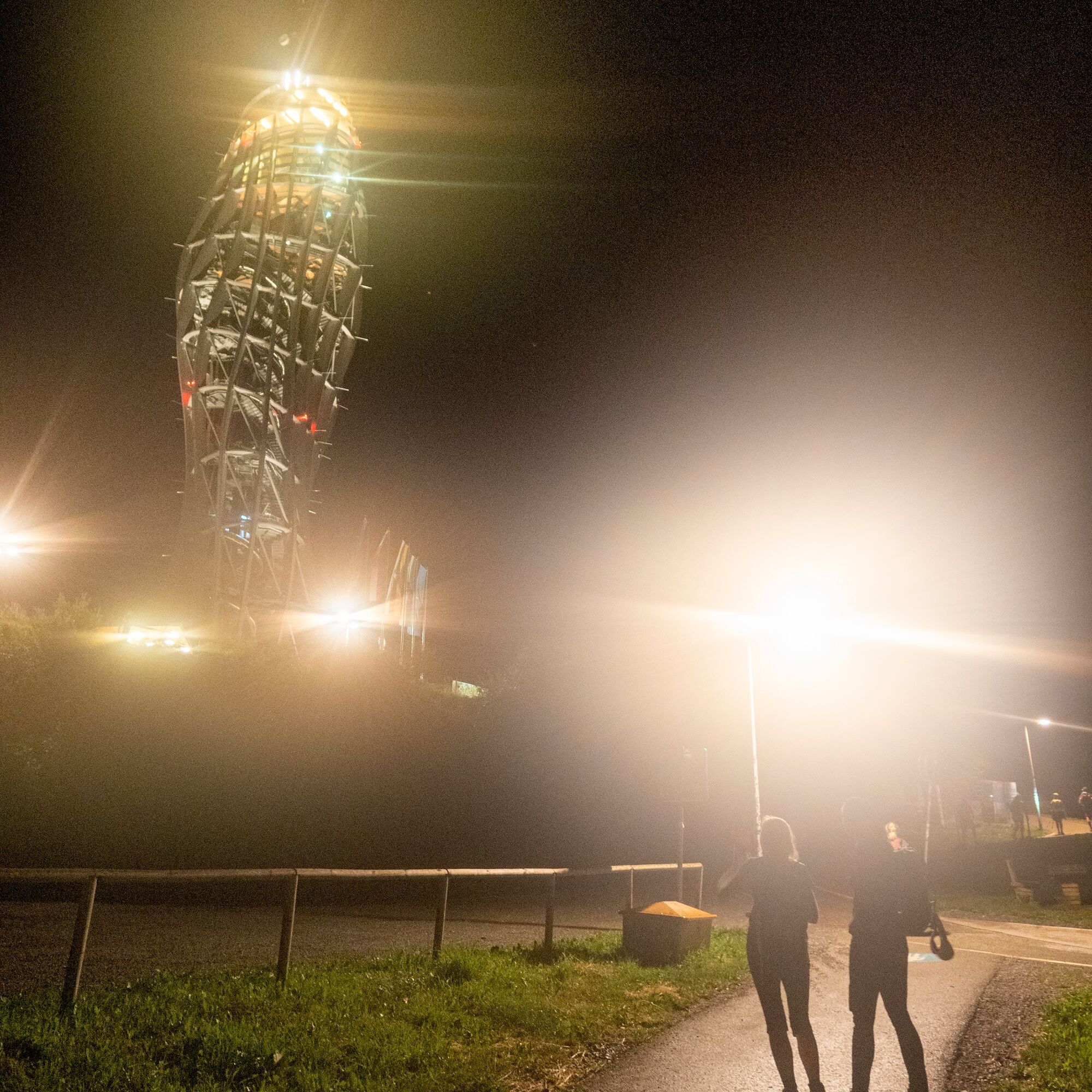

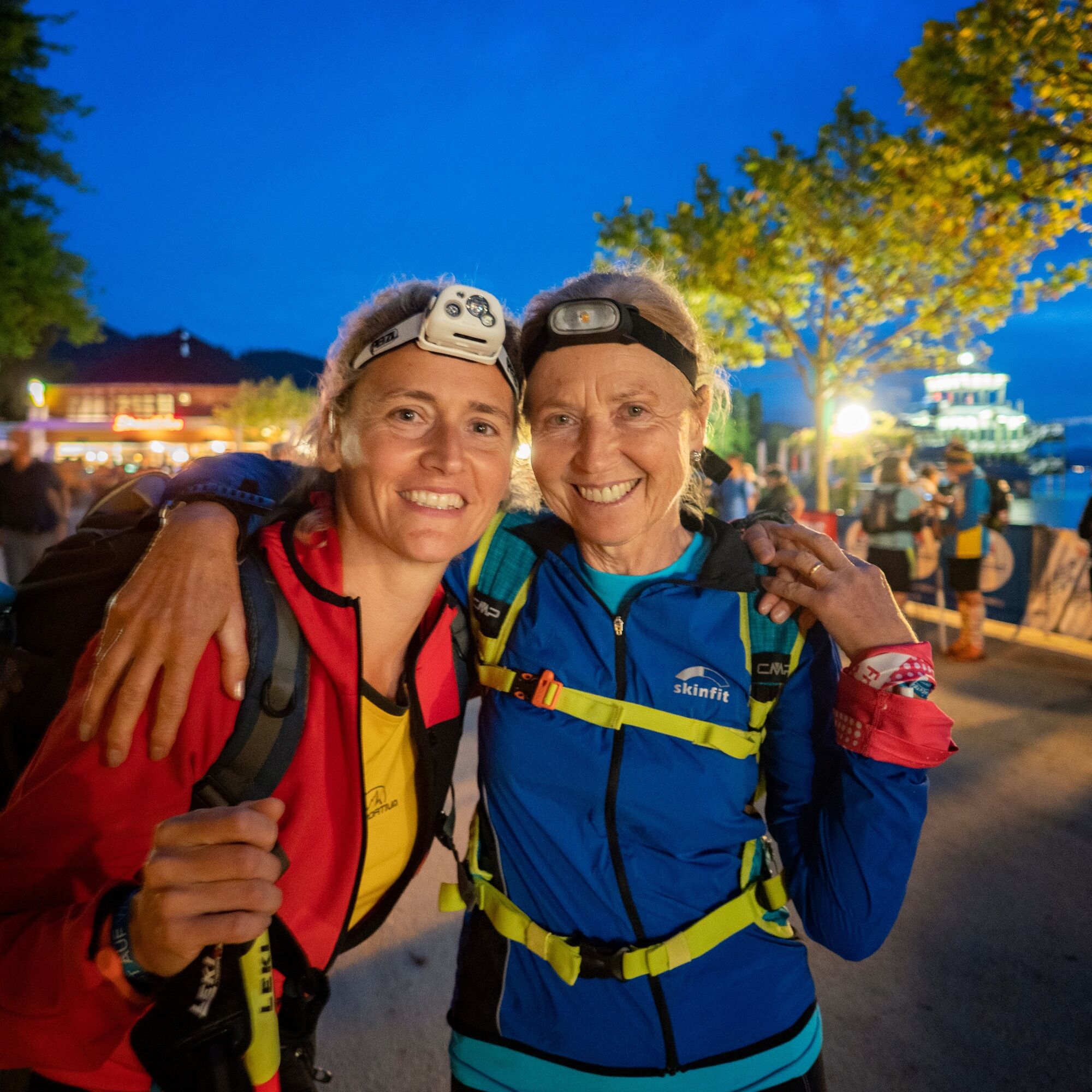
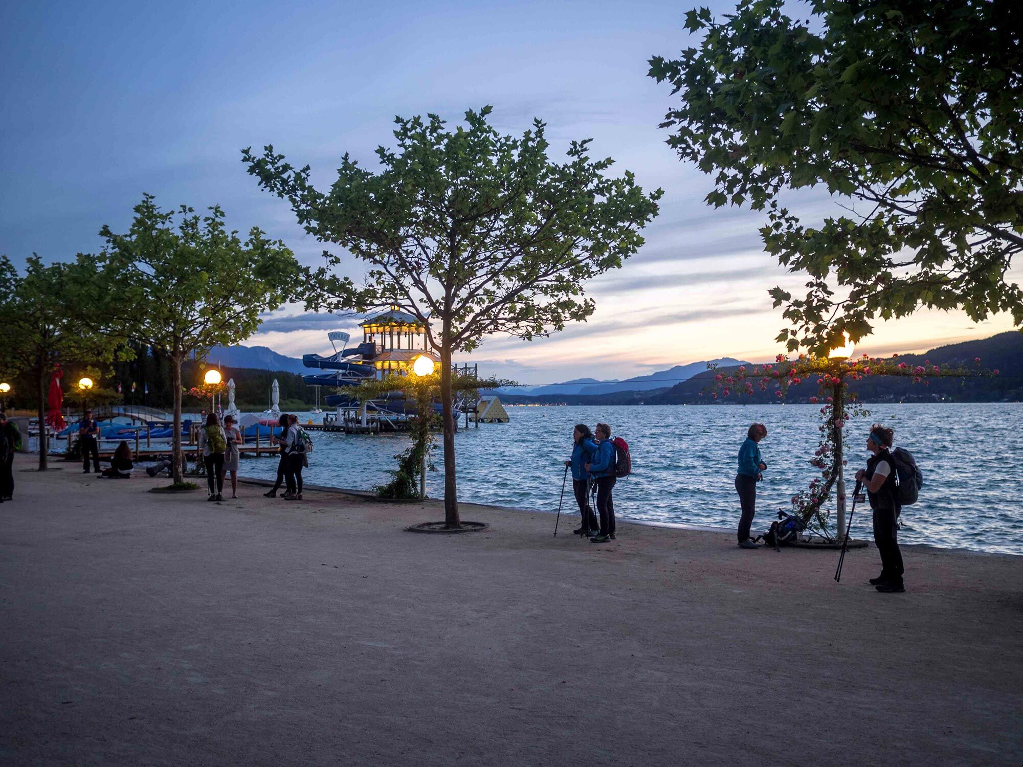
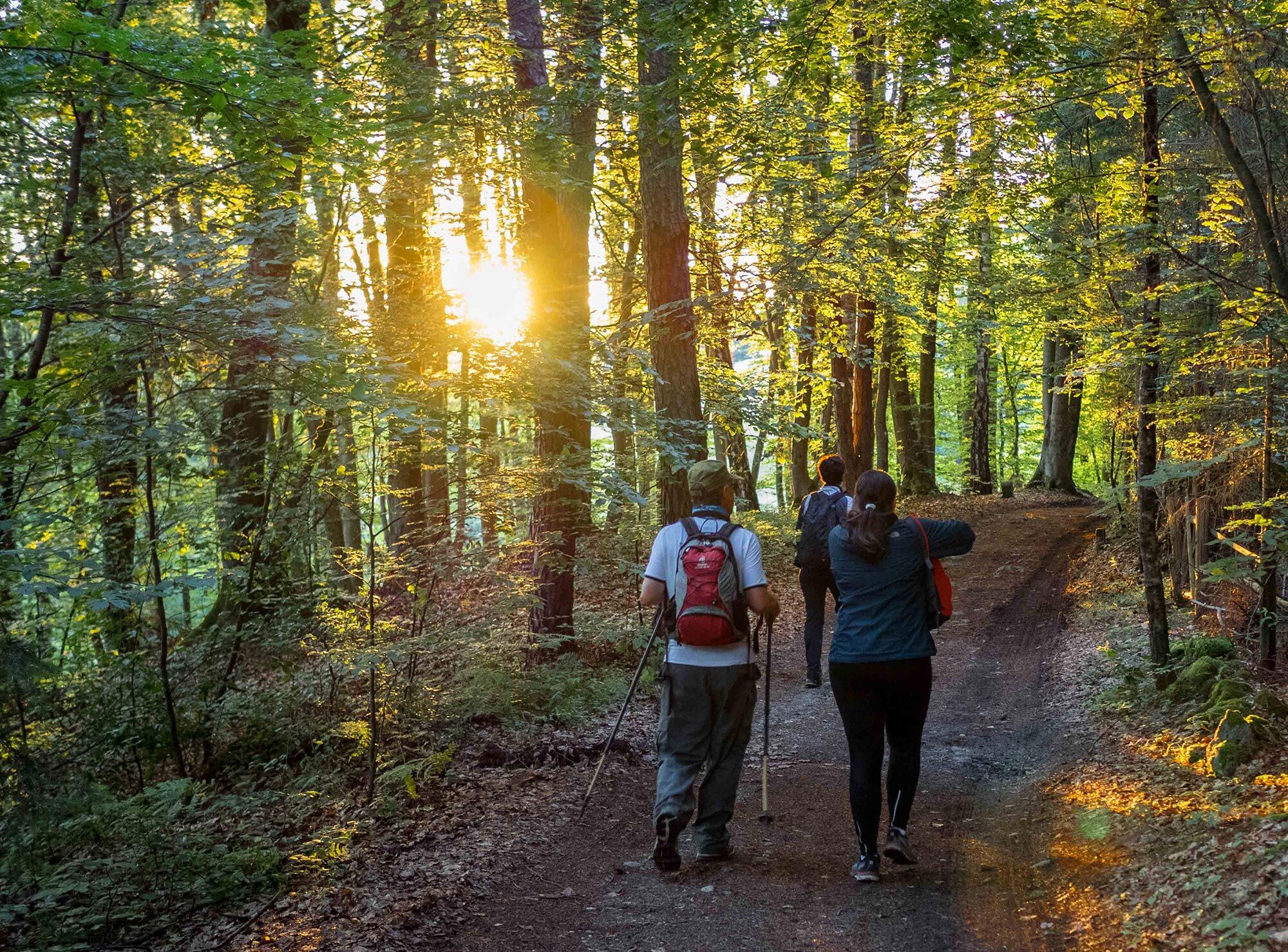
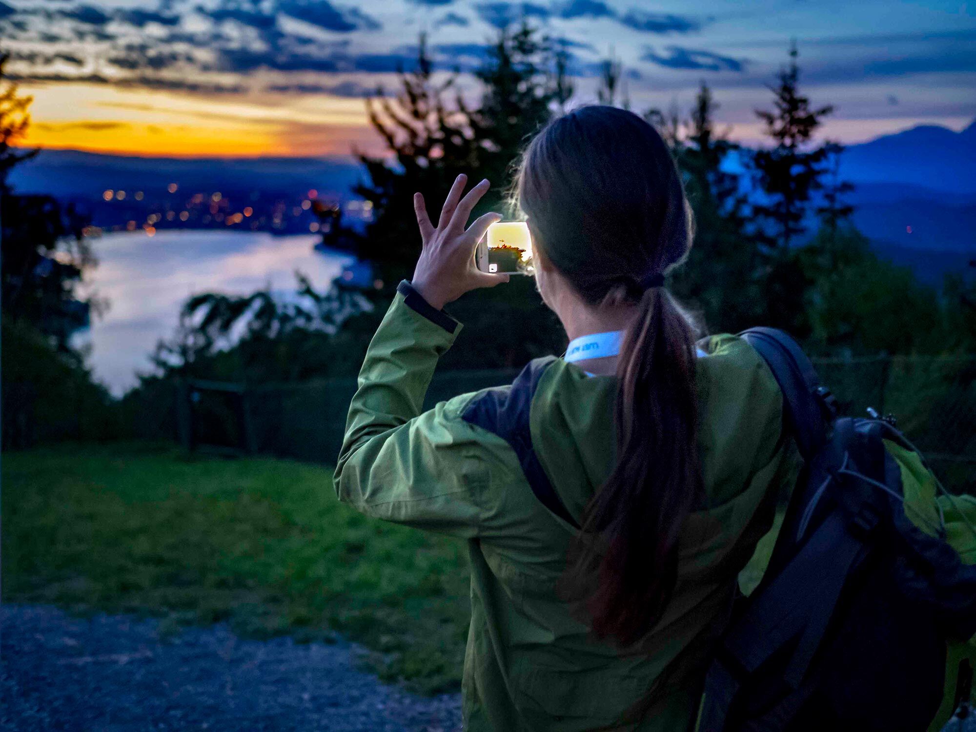
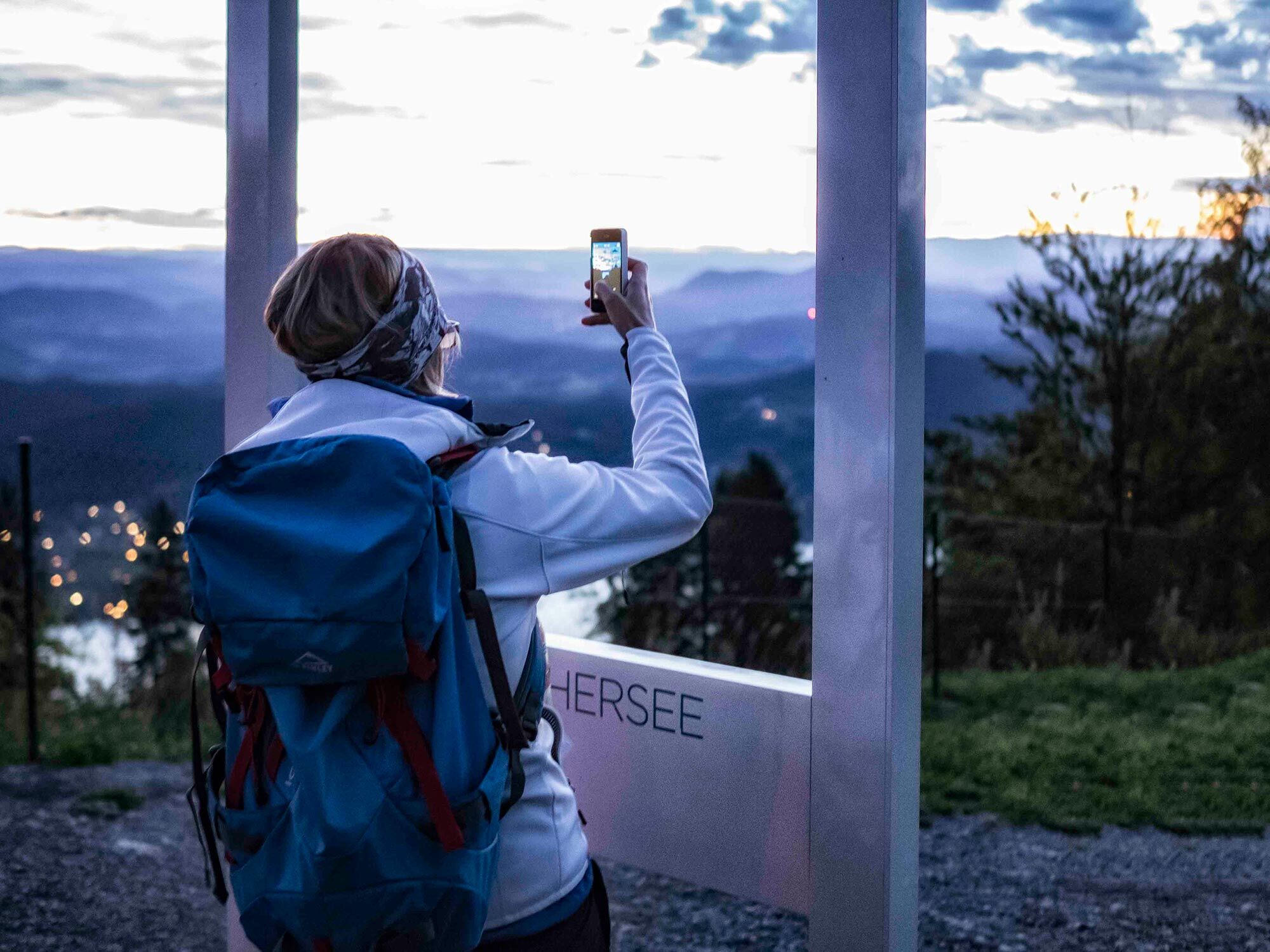
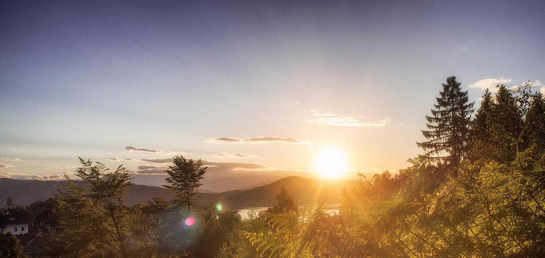
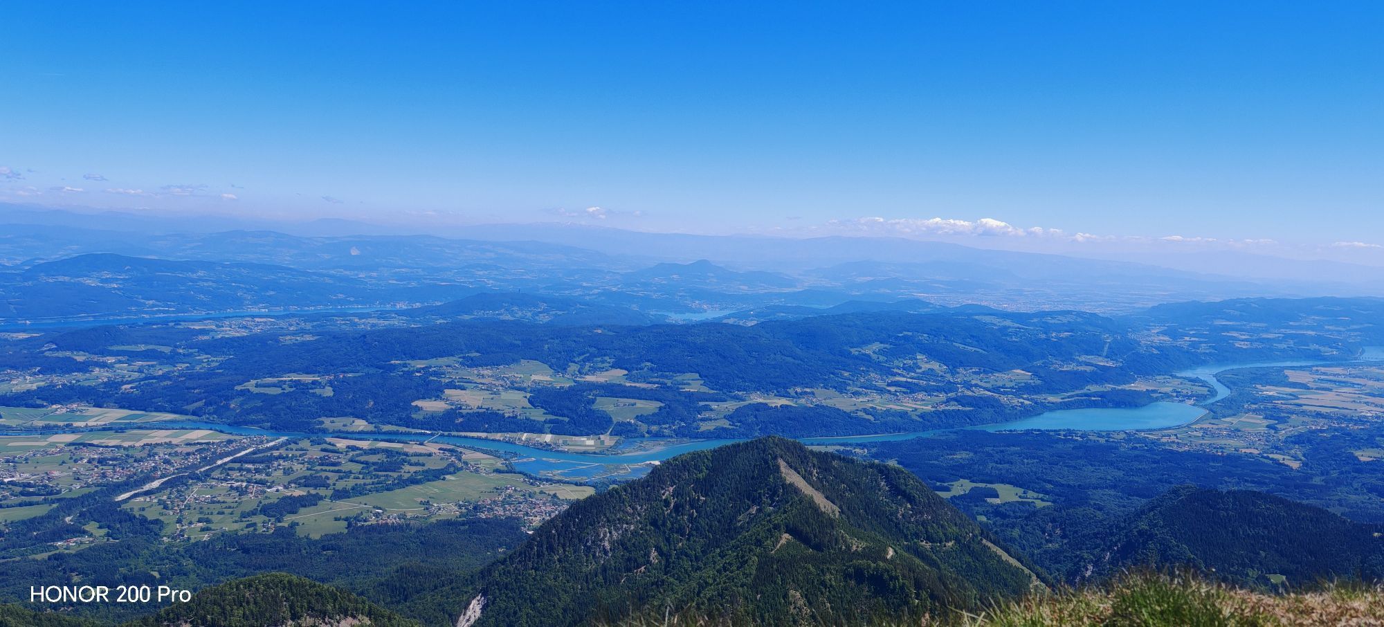
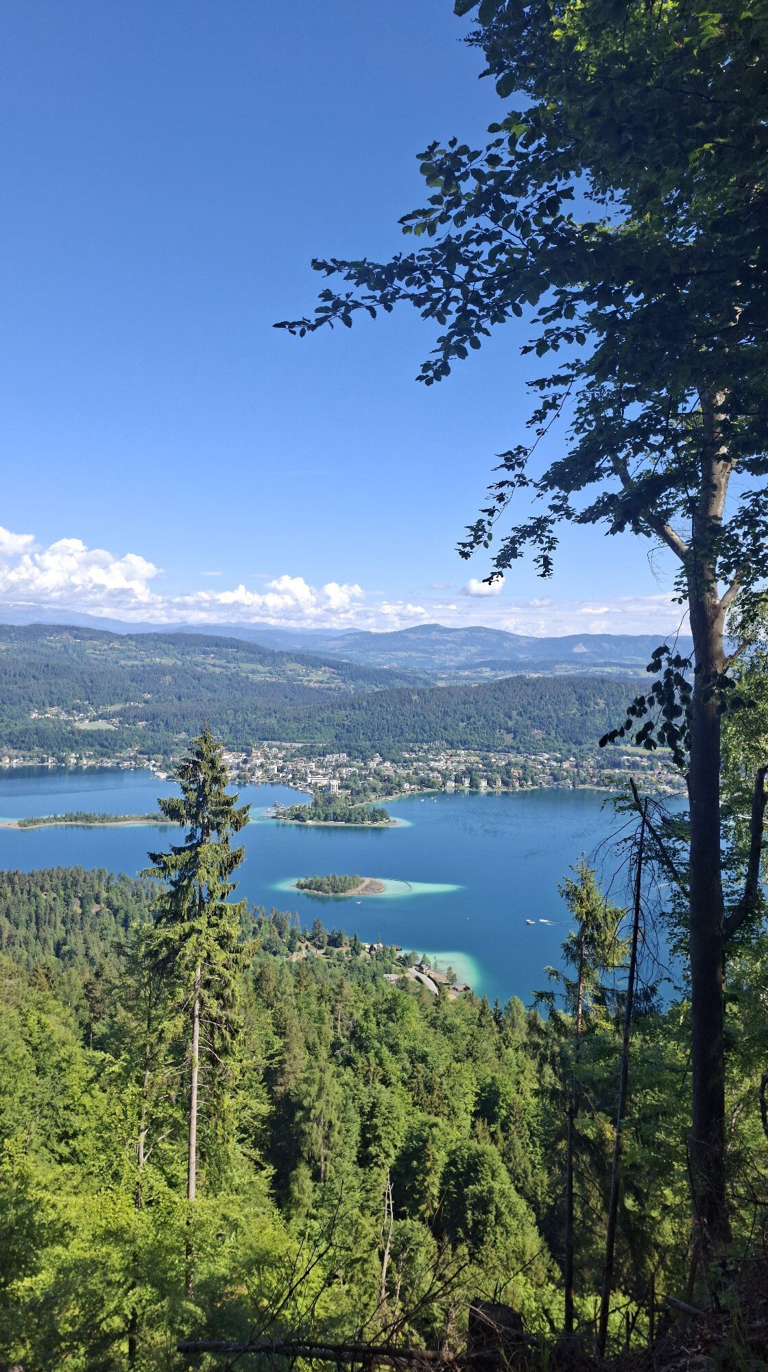
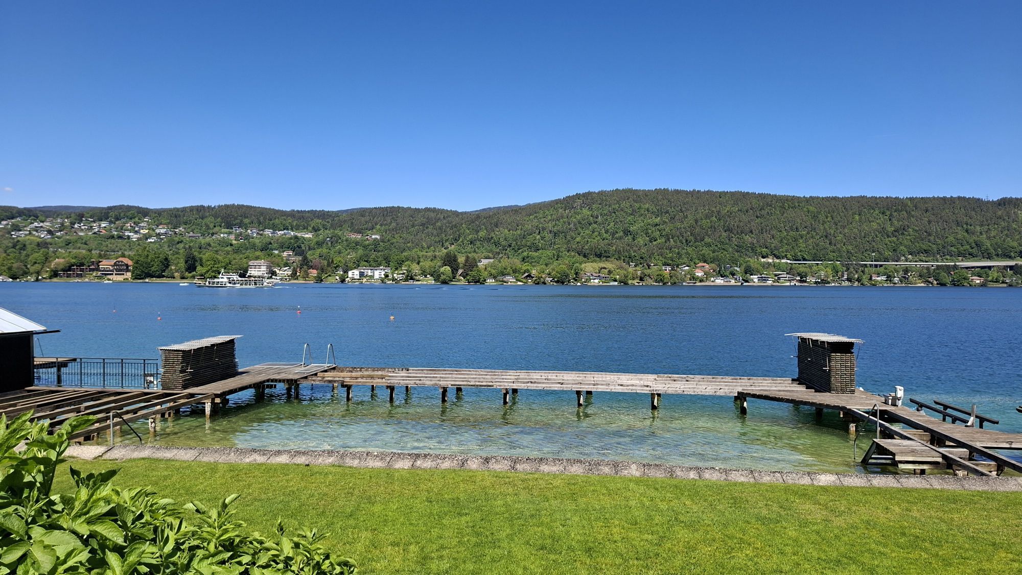
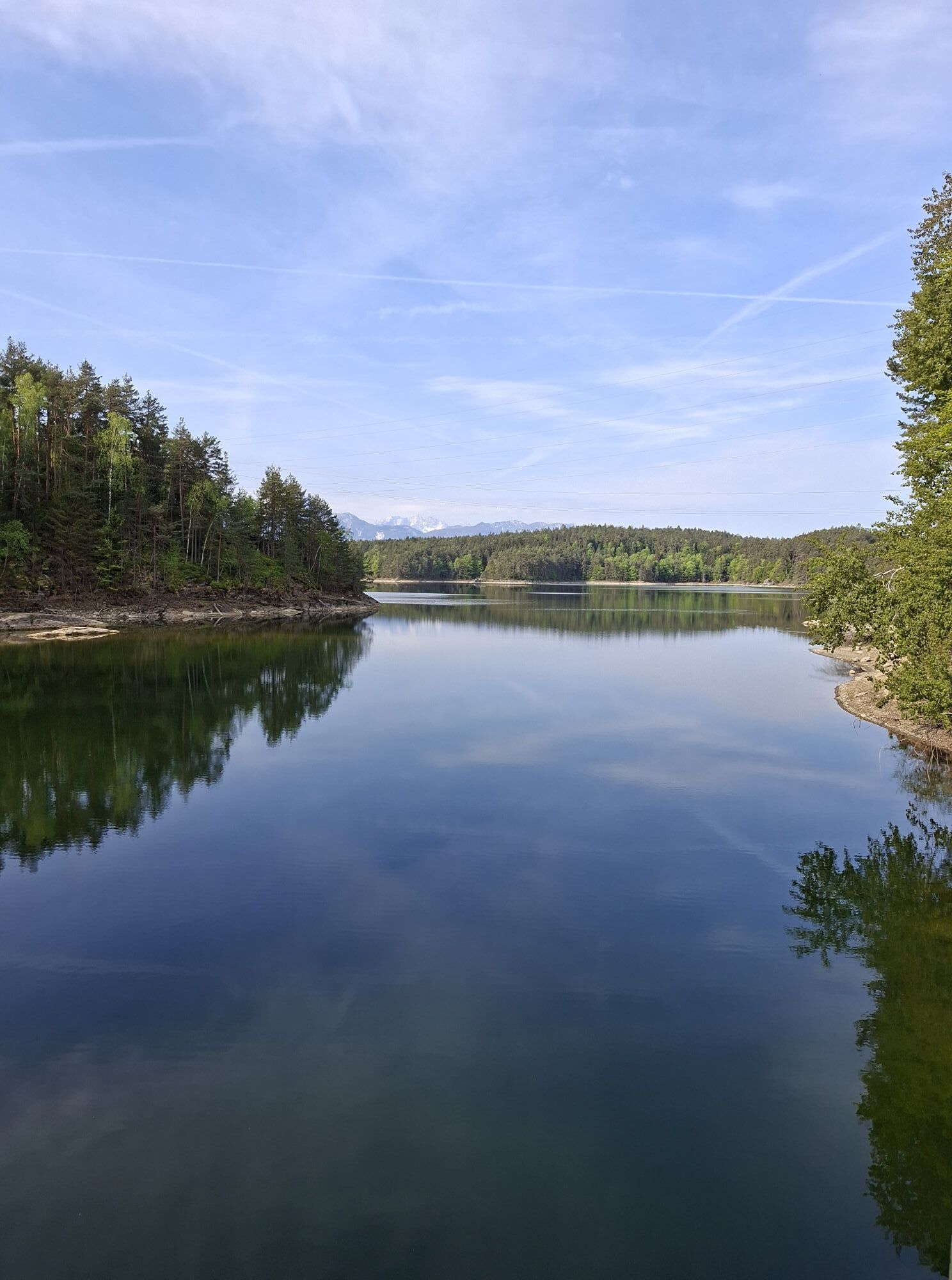
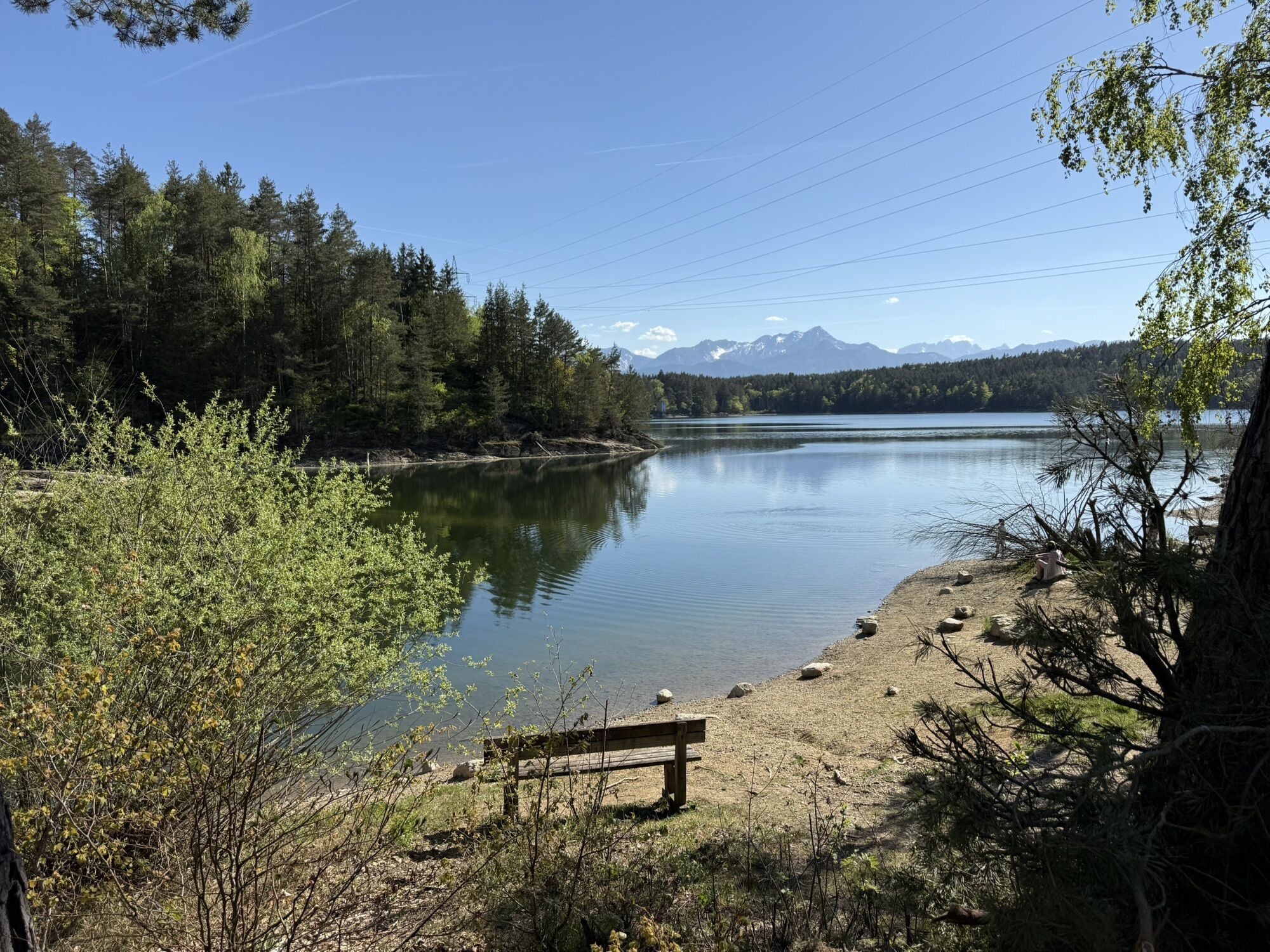
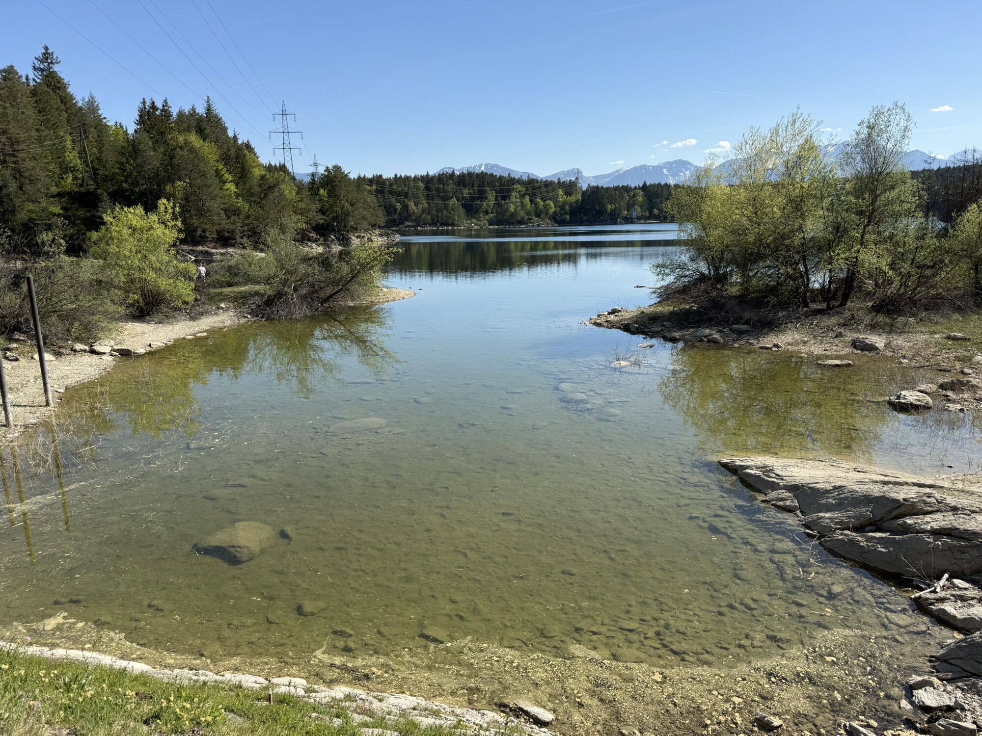
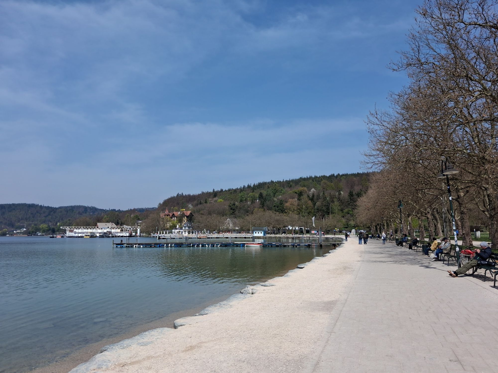
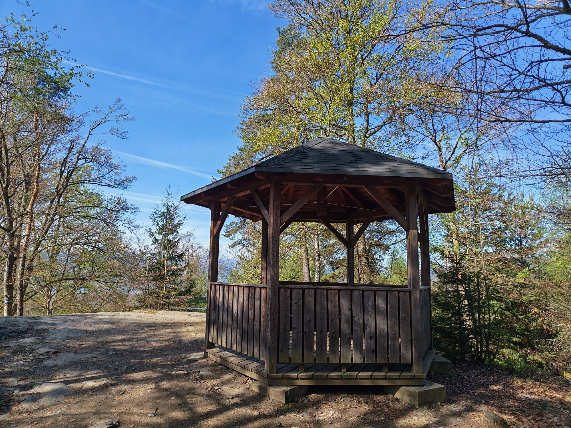
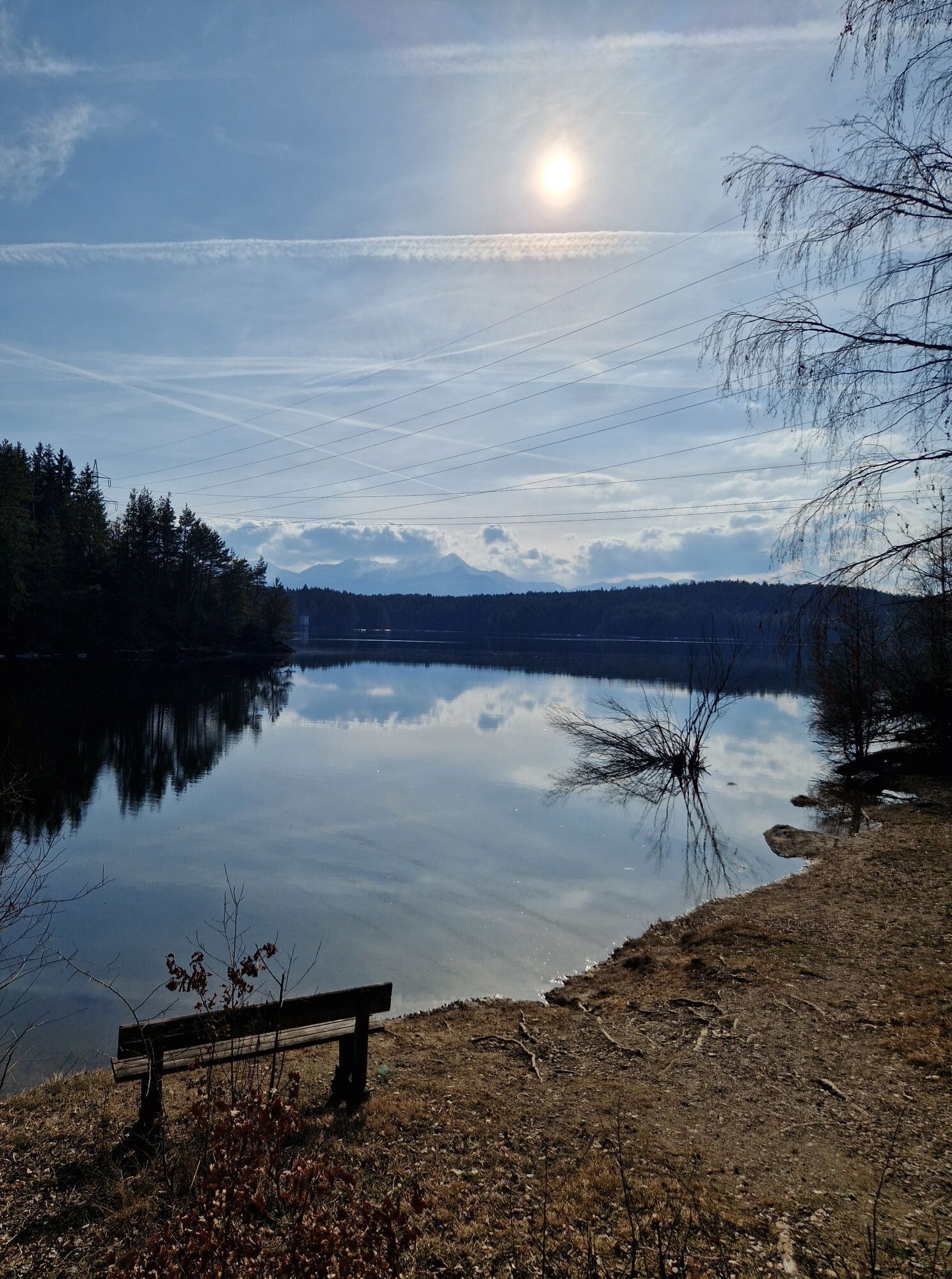
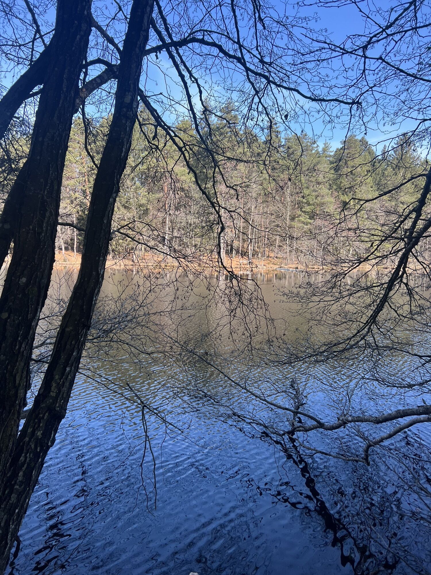
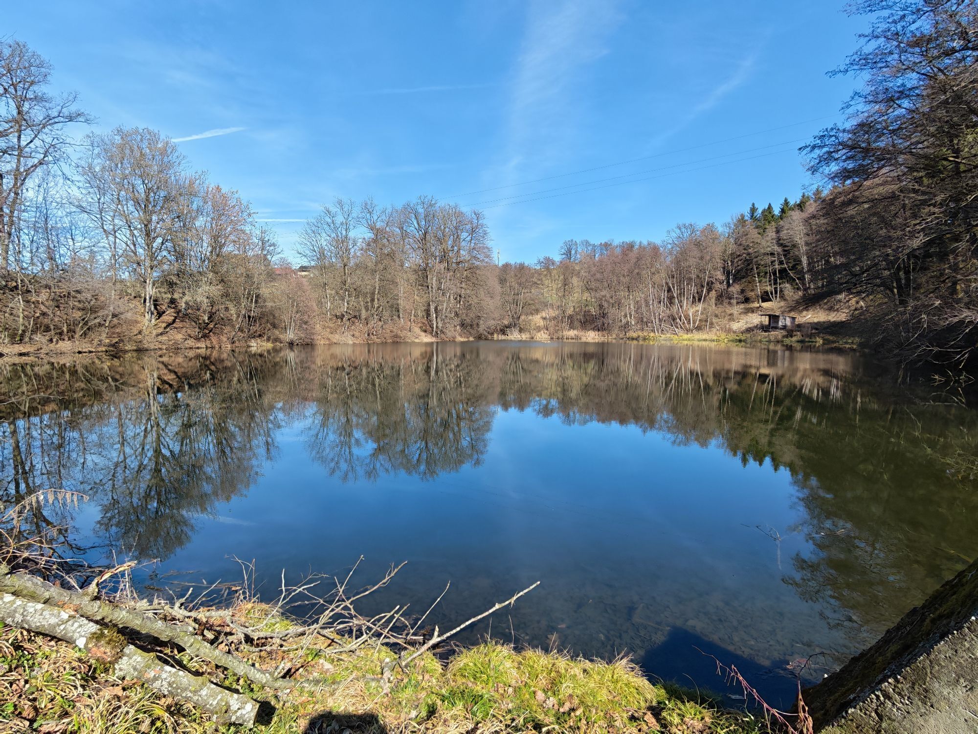
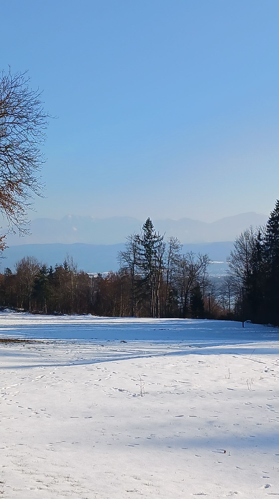
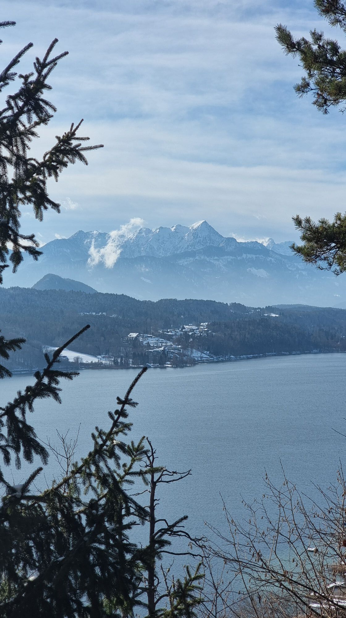
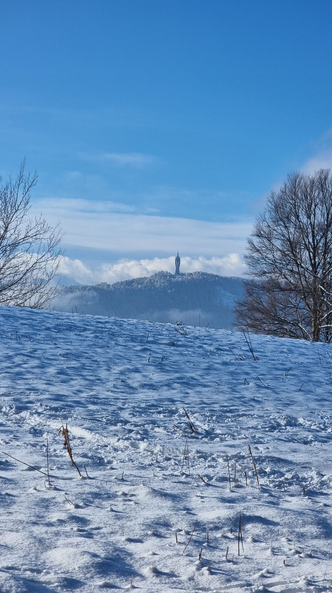
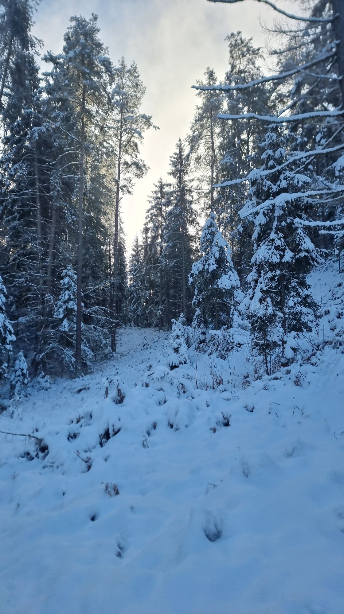
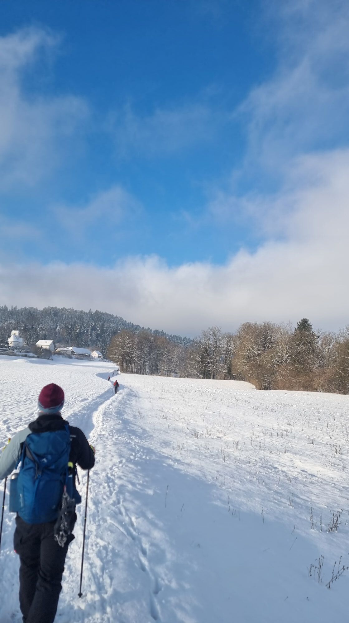
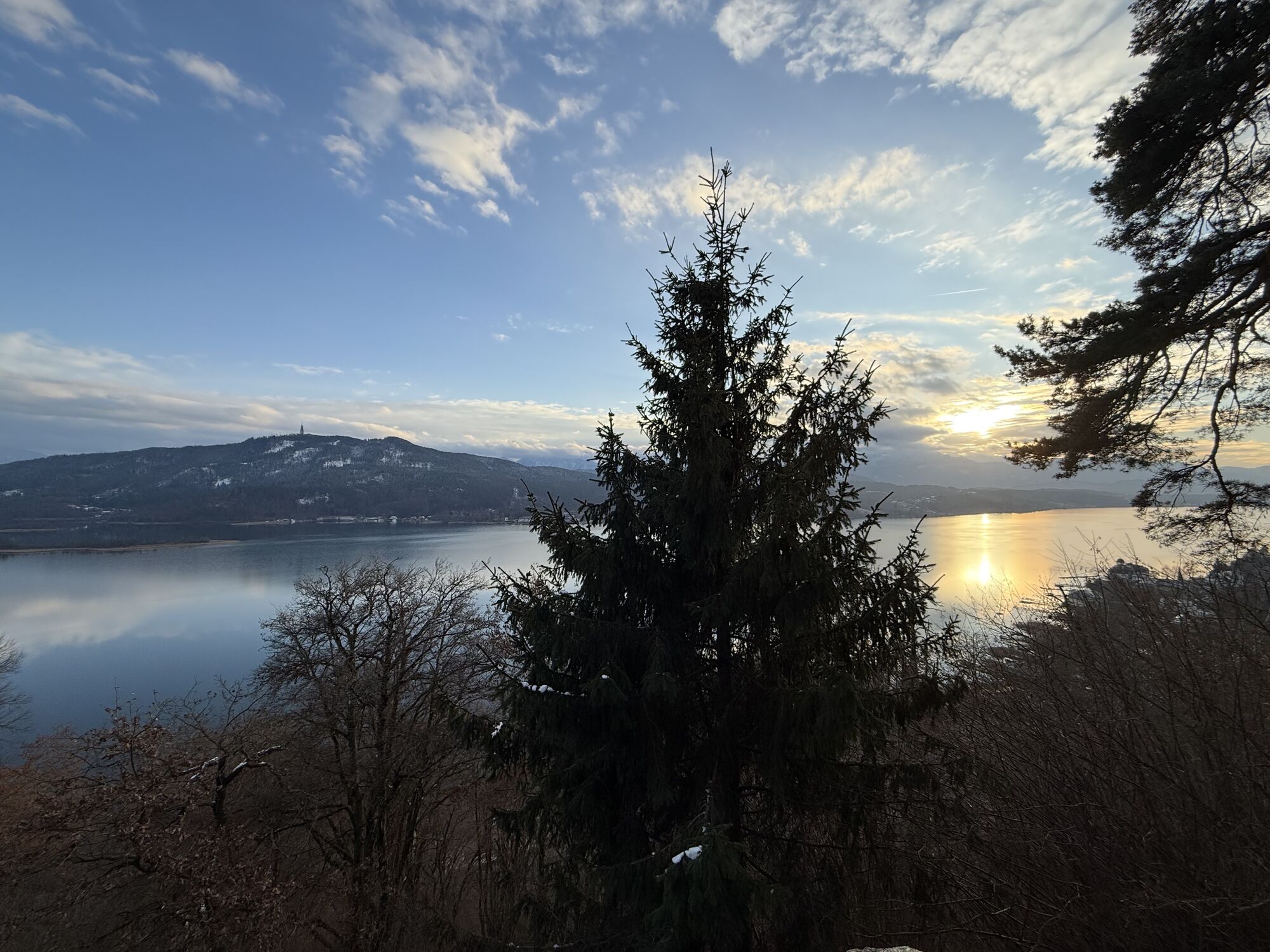
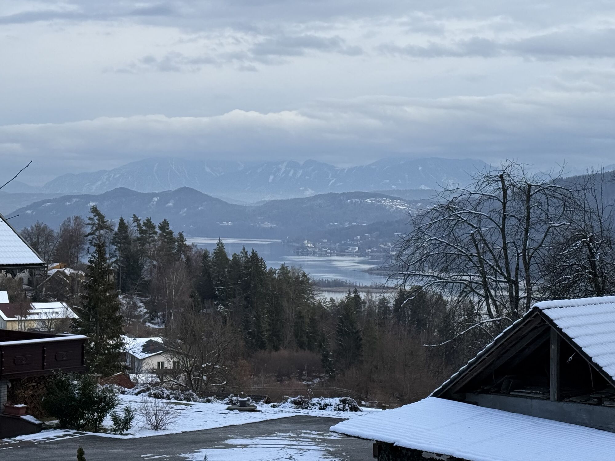
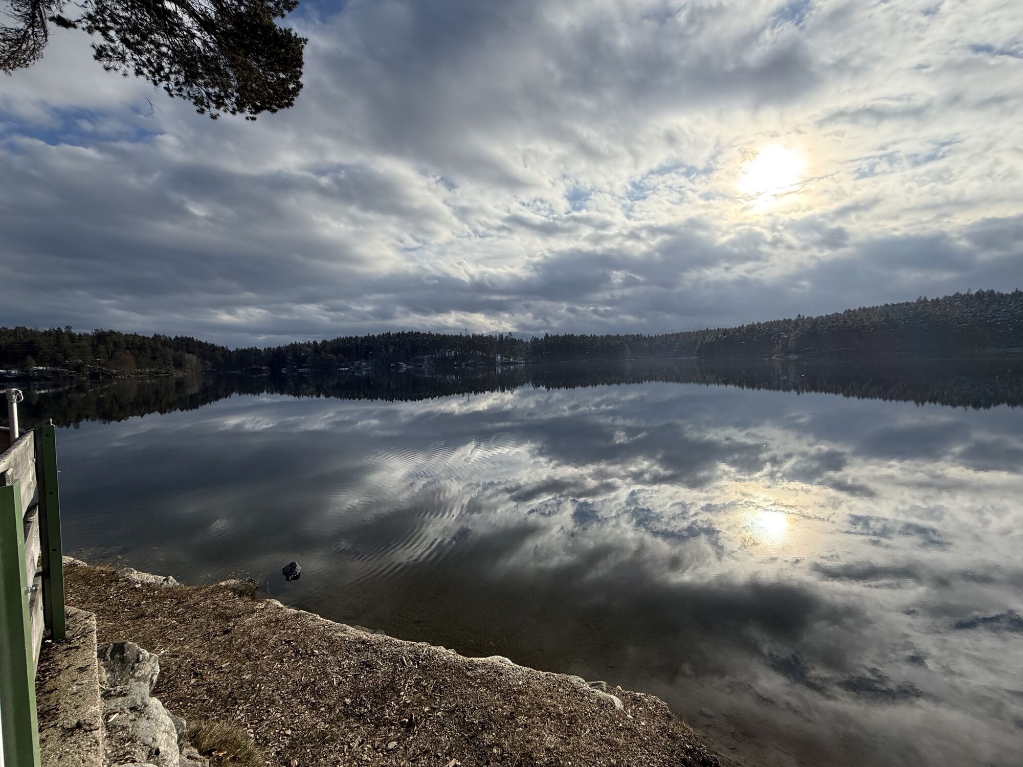
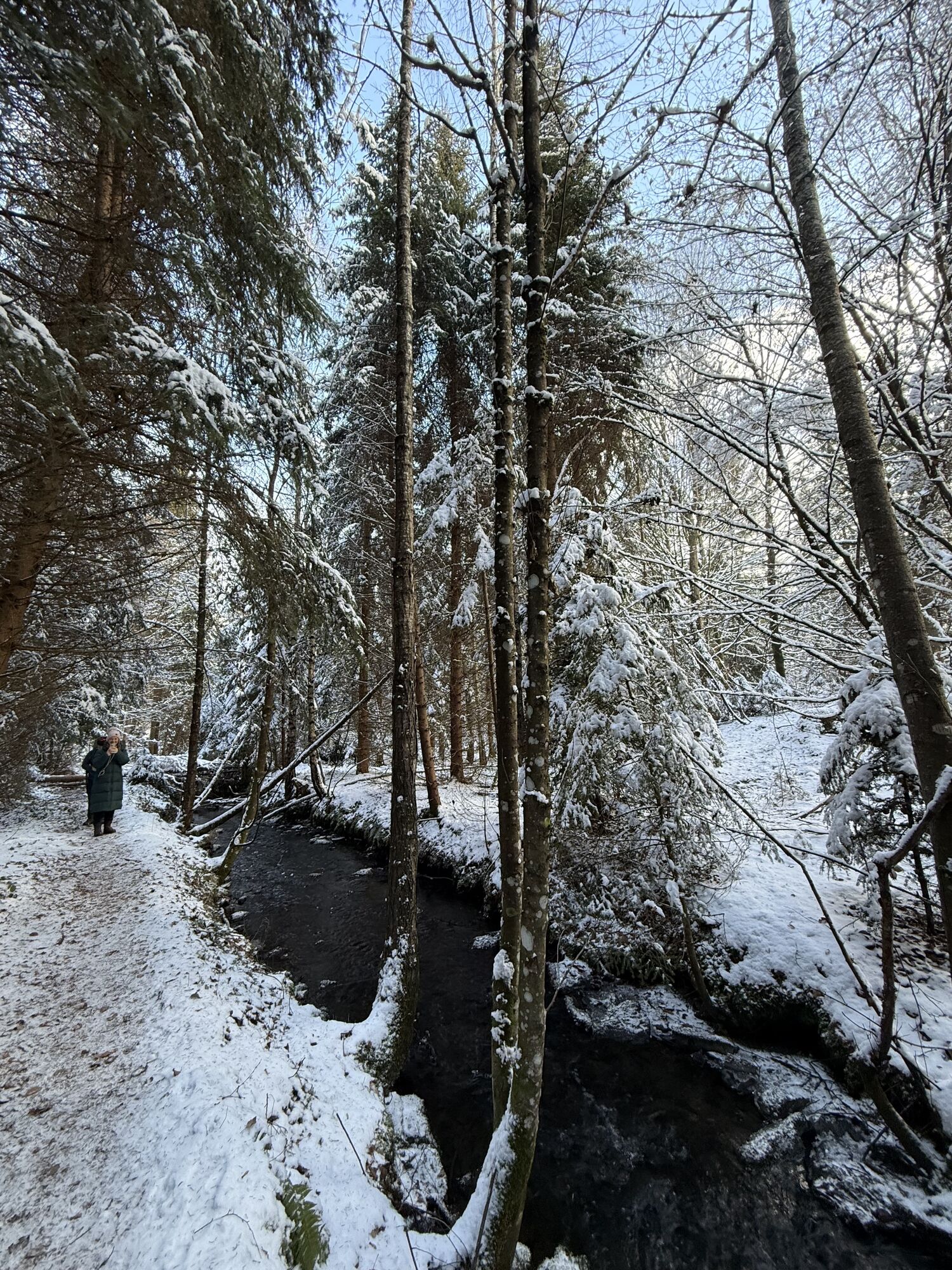
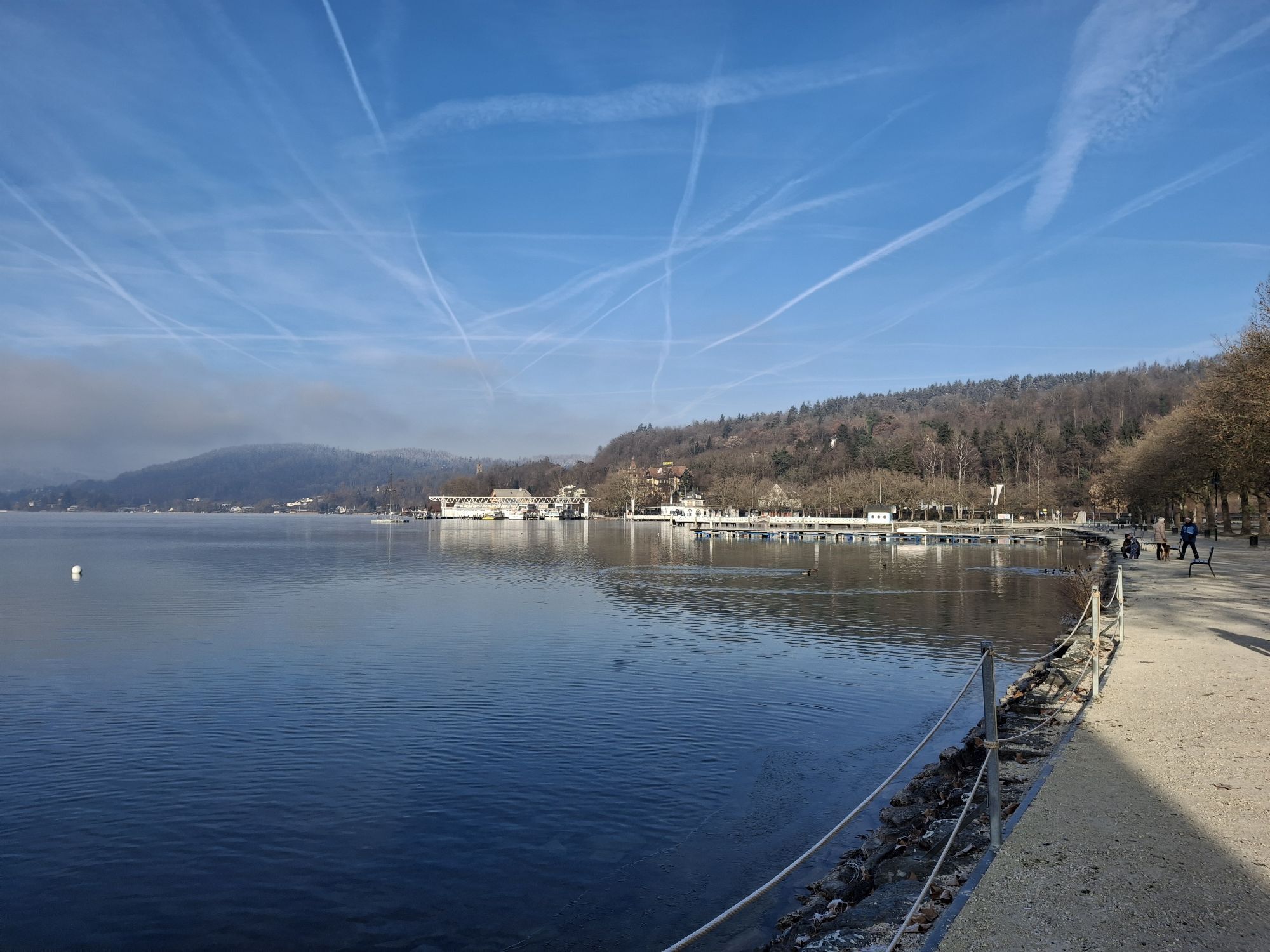
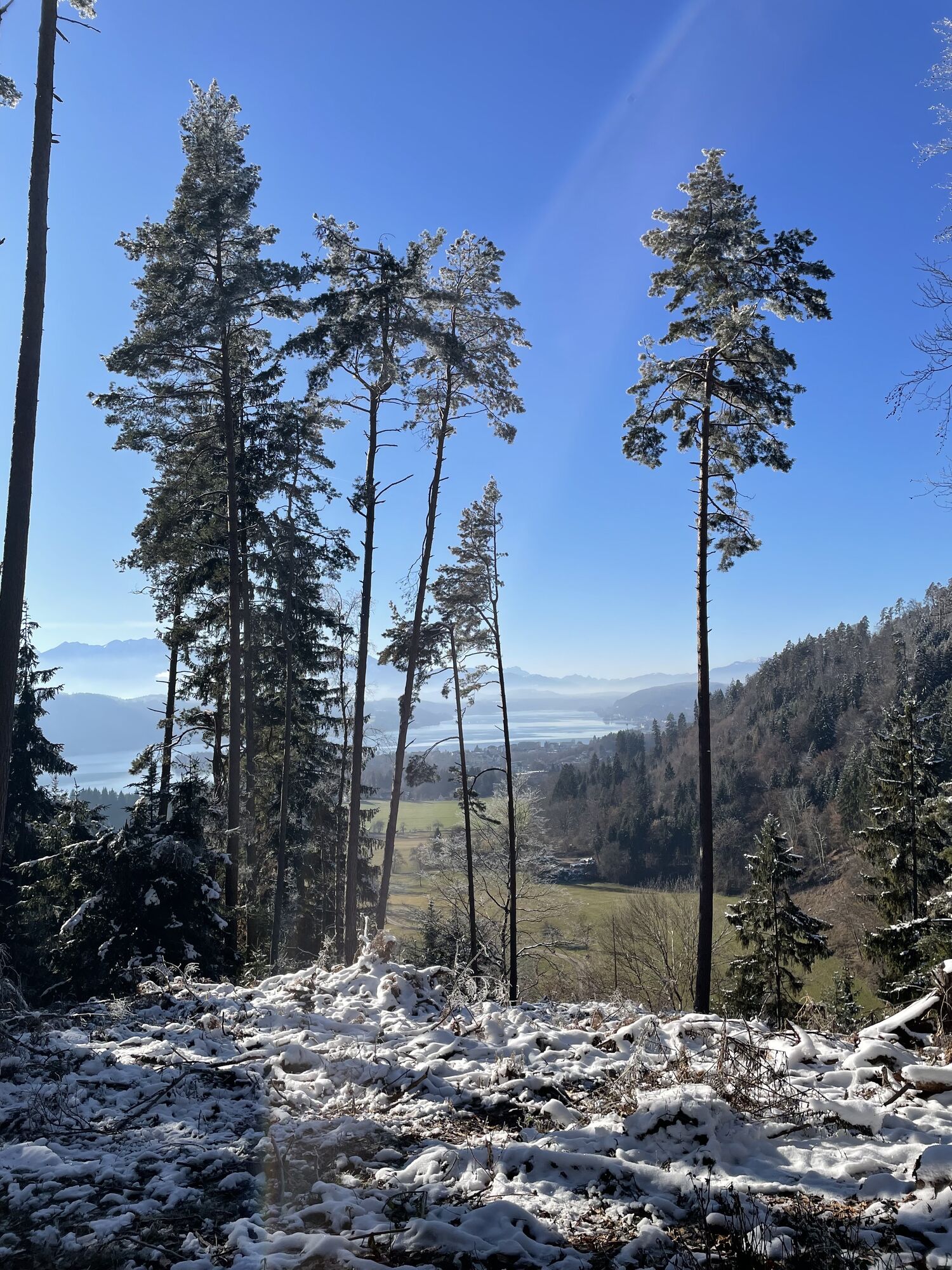
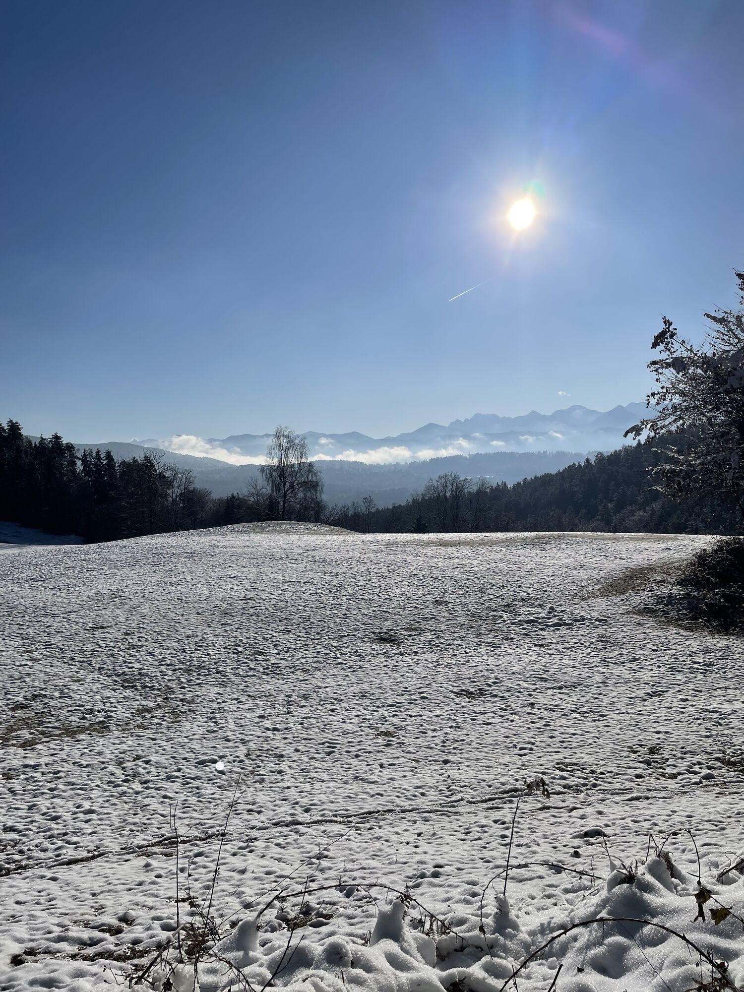
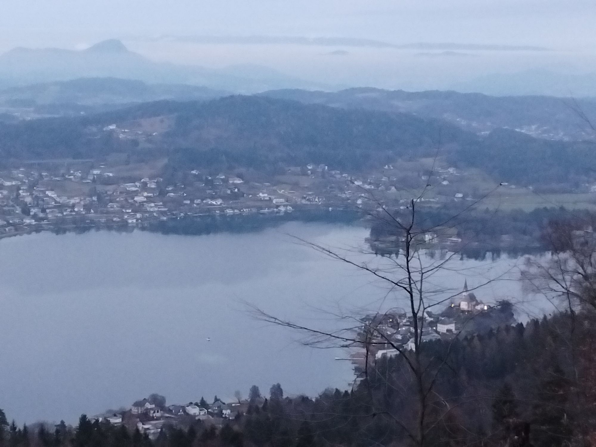
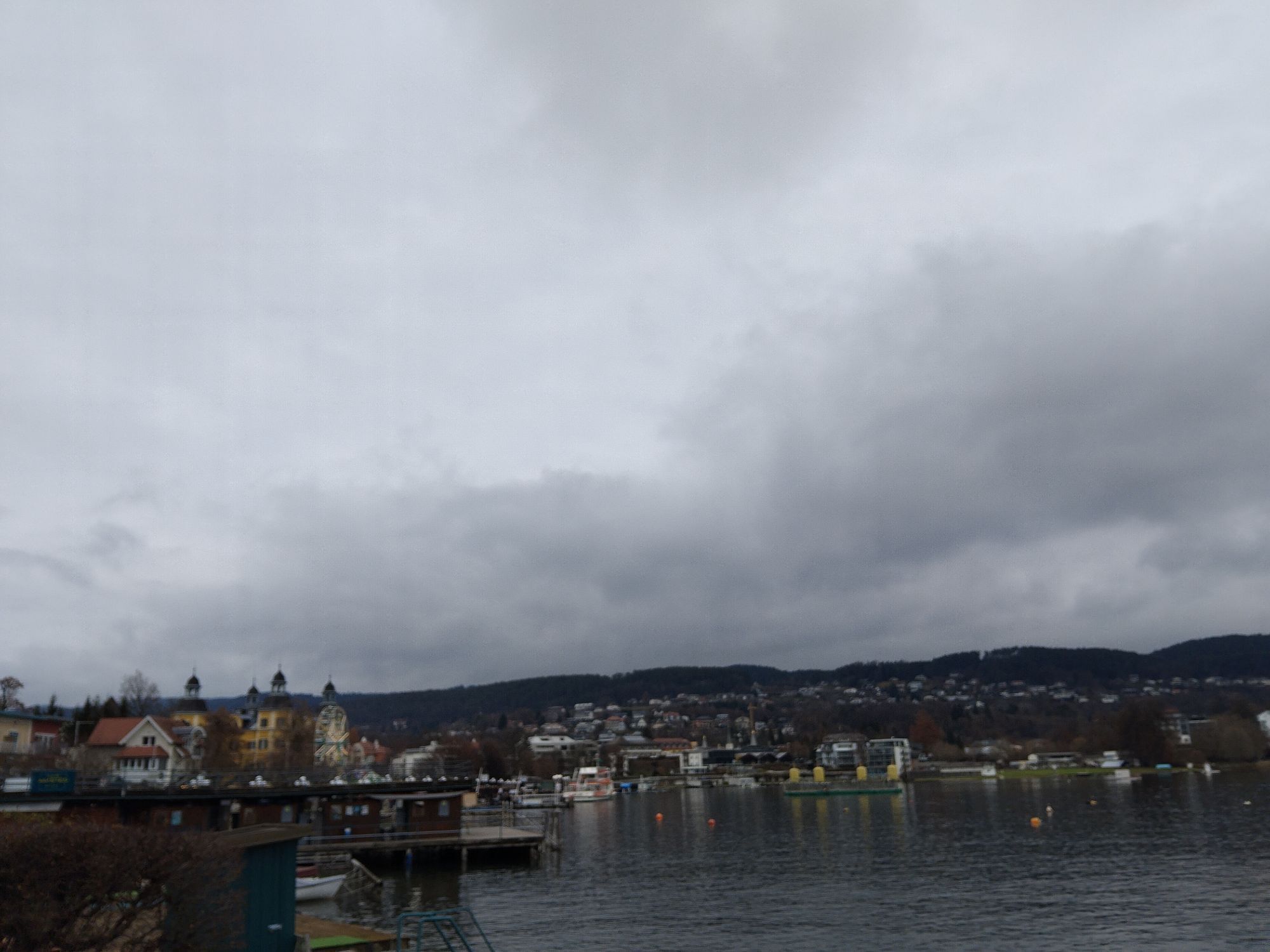
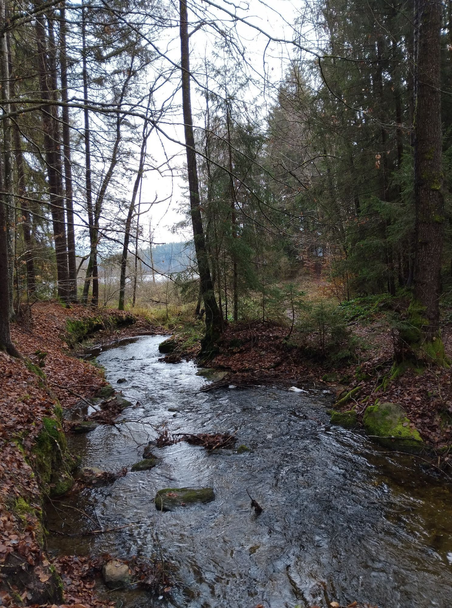
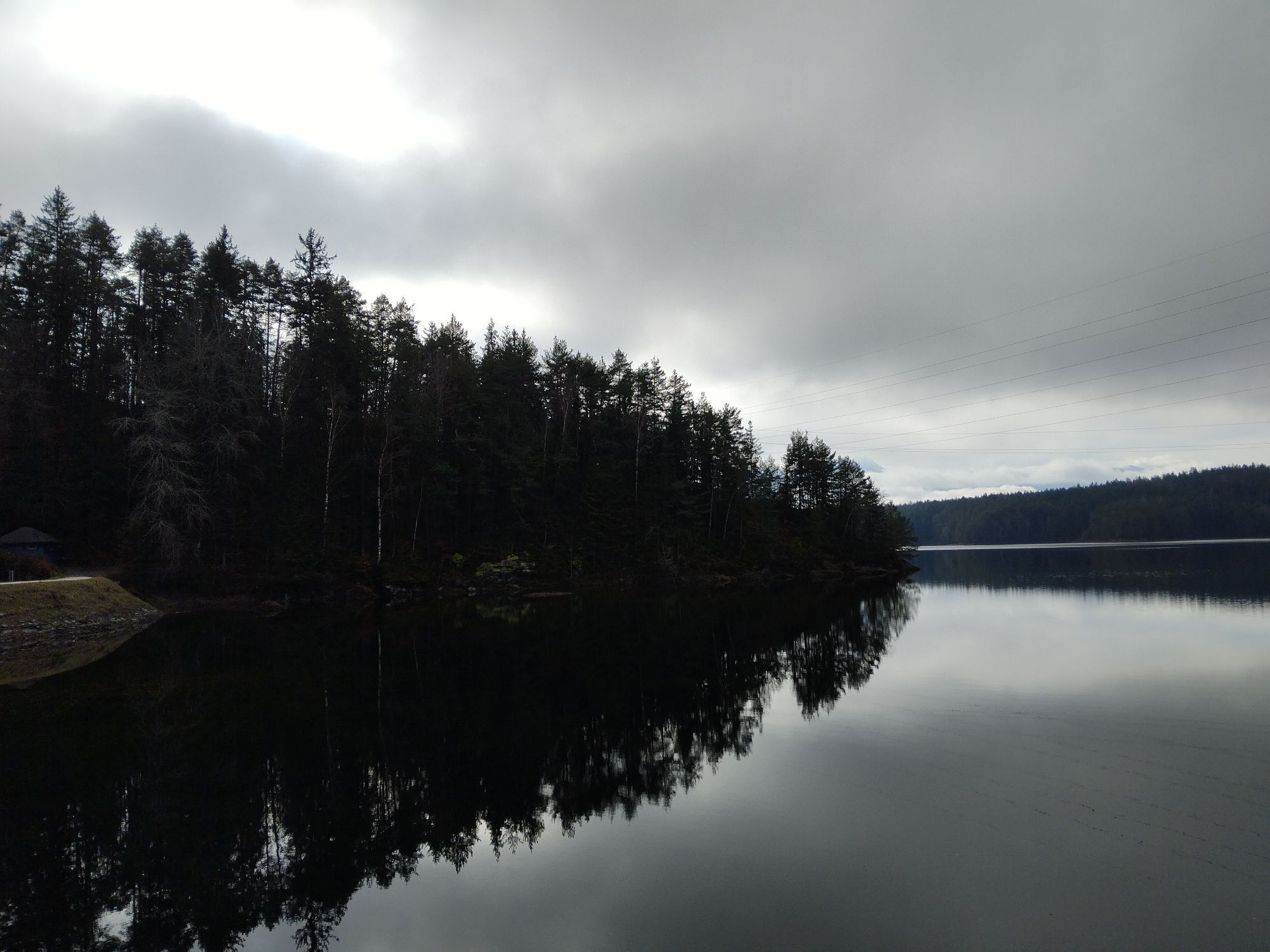
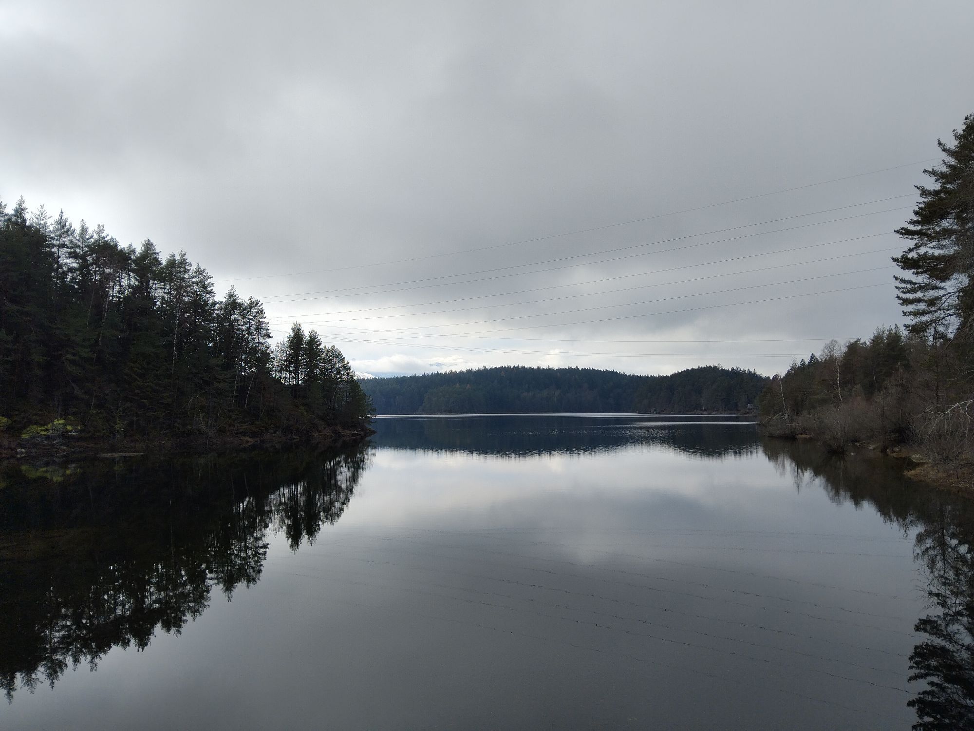
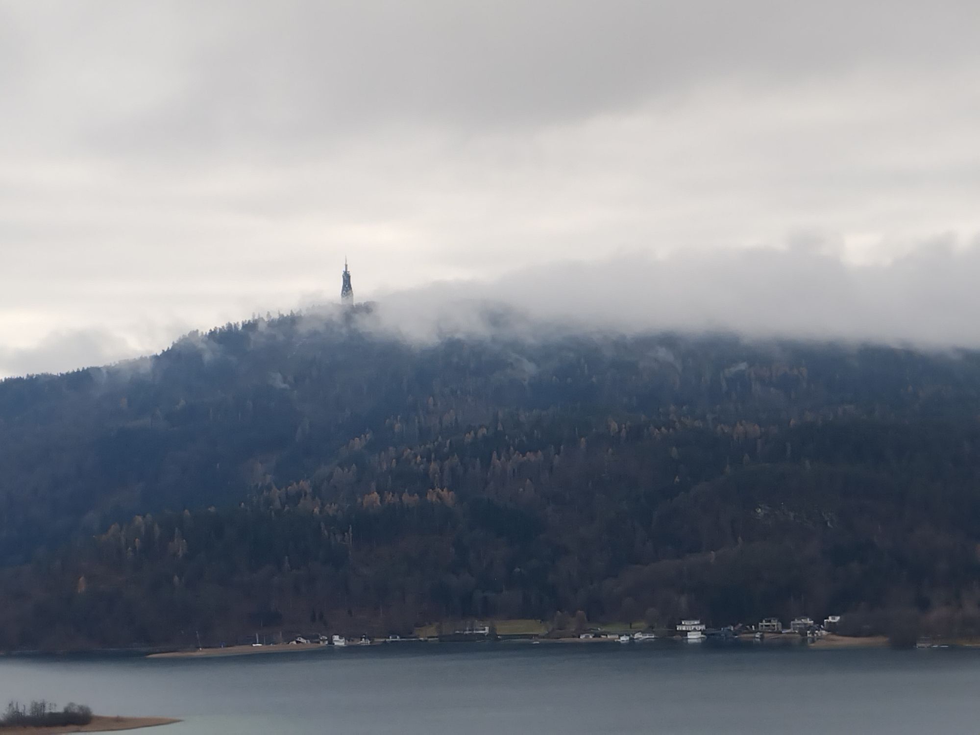
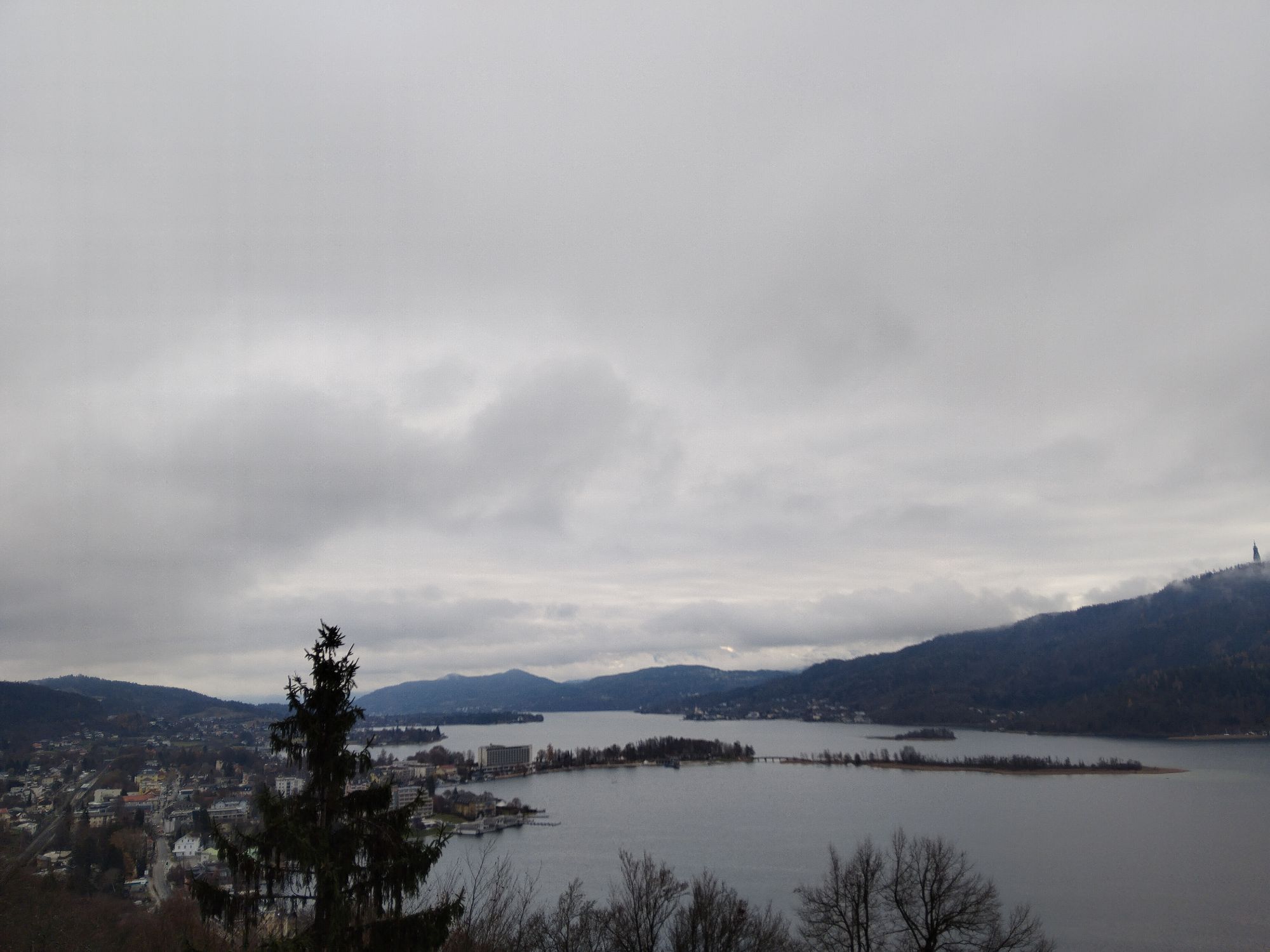
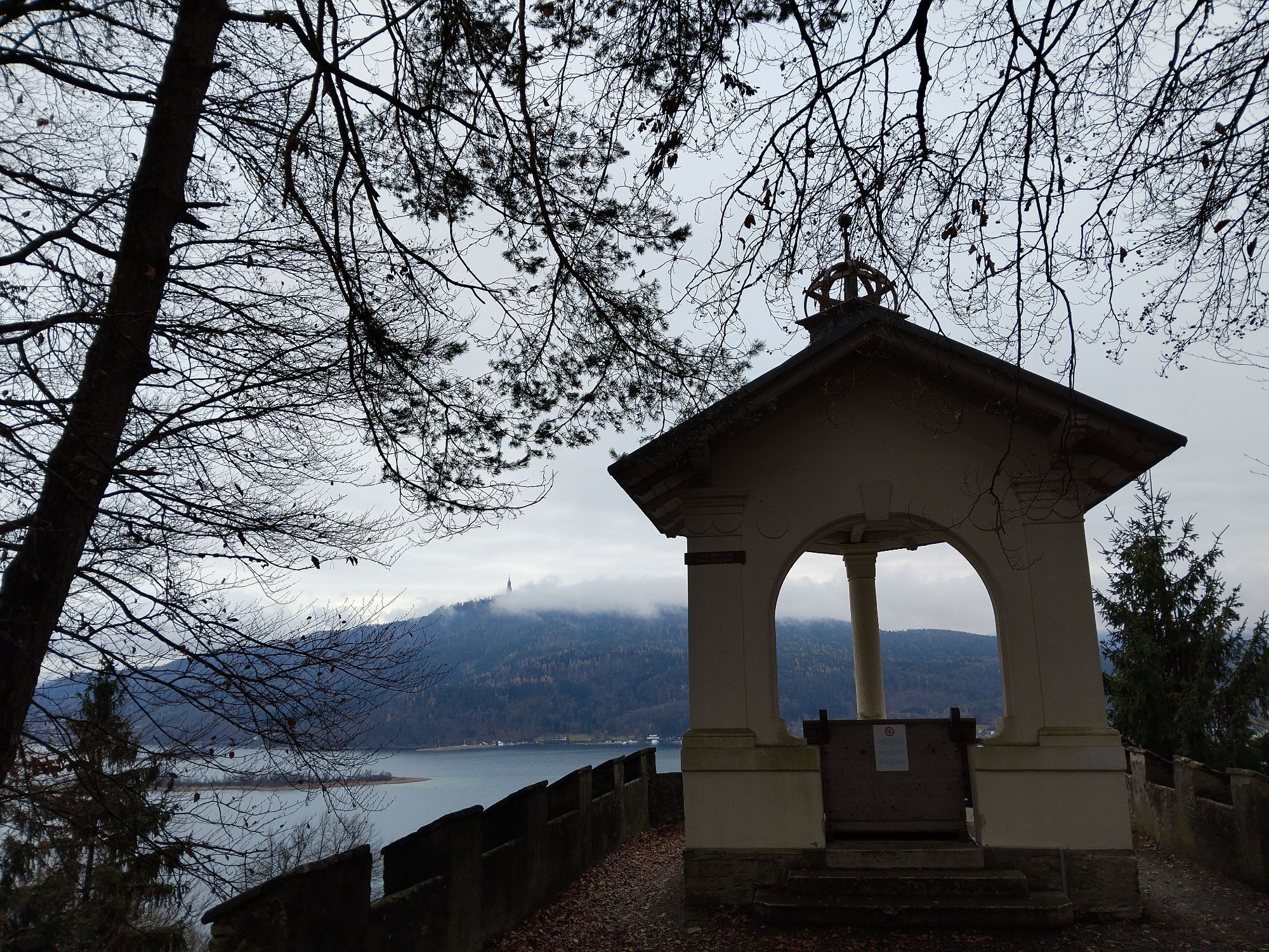
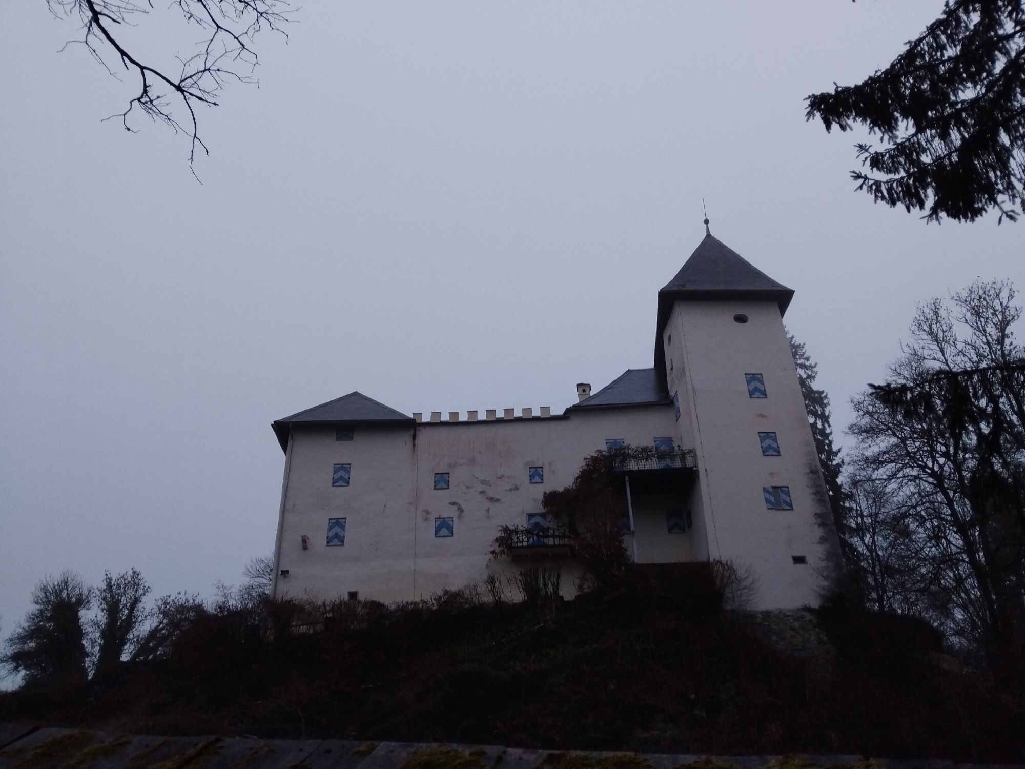
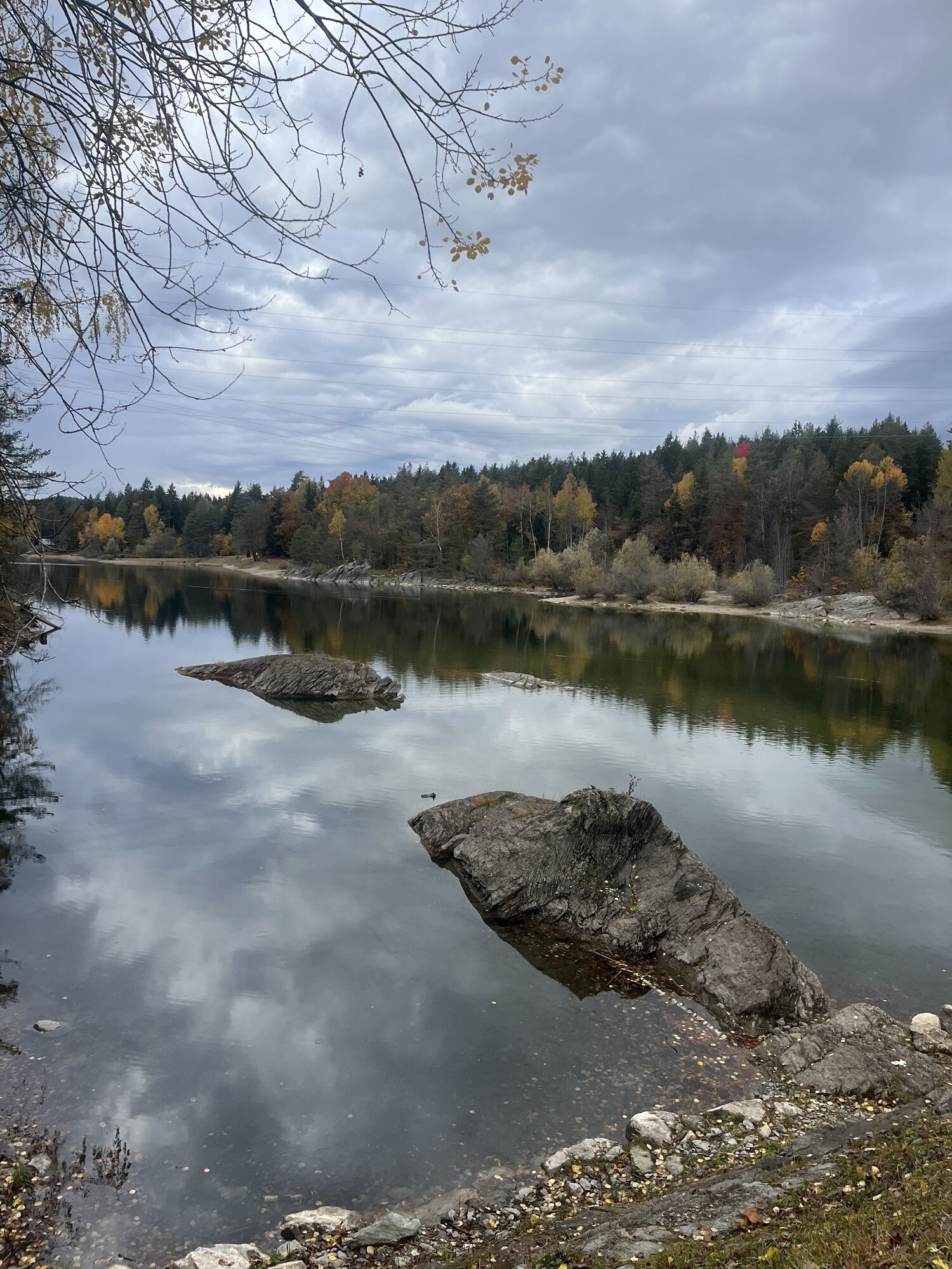
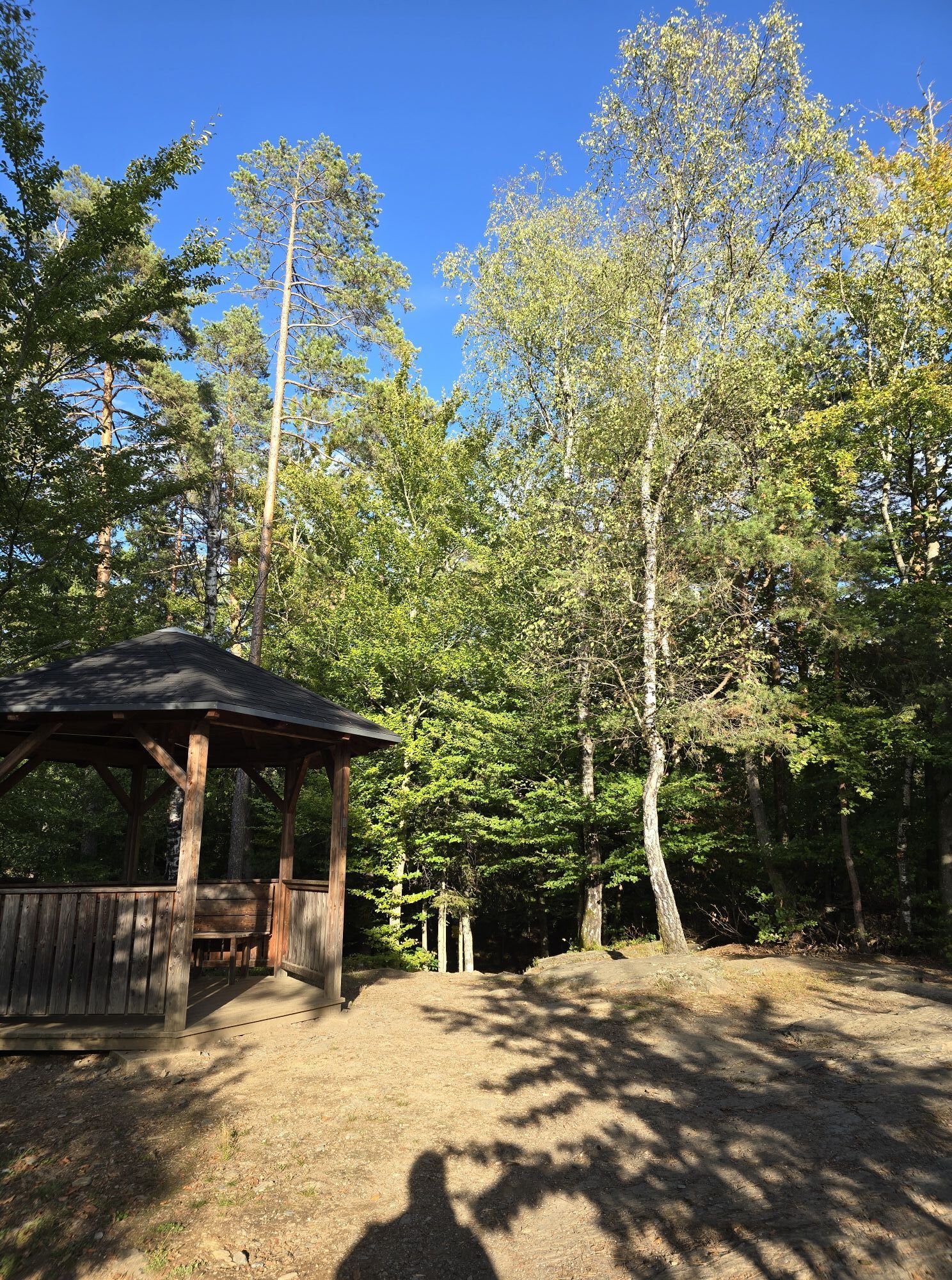
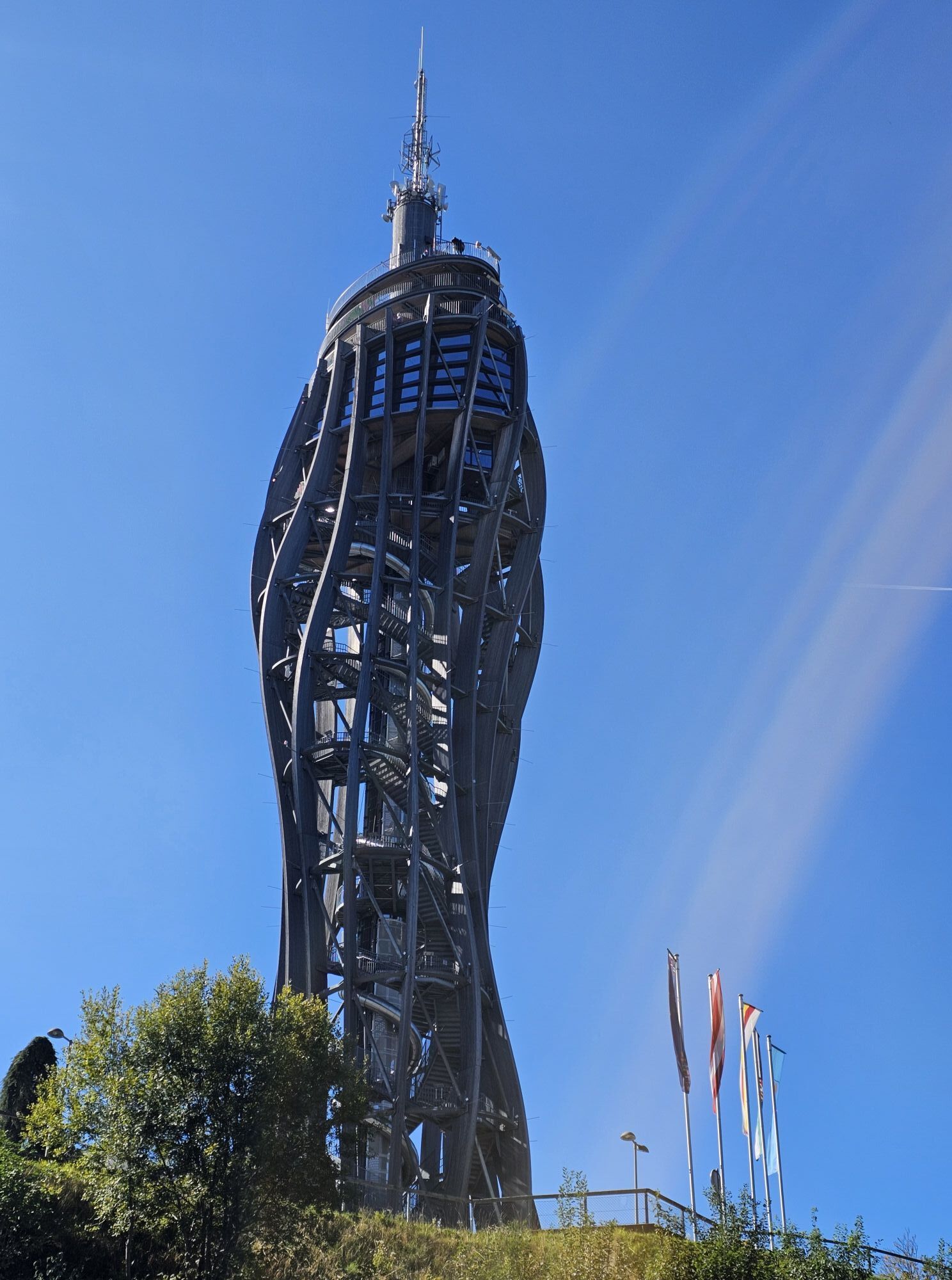
The 60 km ‘Magical Midsummer Hike’ takes participants from the starting point at the bandstand in Pörtschach via the Hohe Gloriette, Sekull and the Forstsee to Velden am Wörthersee. The first stop is in the spa gardens there. The route continues towards Schiefling and past the Trattnigteich up to the Pyramidenkogel. Impressed by the sunrise from the world’s tallest wooden tower, the trail continues downhill to the next refreshment stop at the Karawankenblick inn. Via the Spintikteiche and Viktring, participants reach the eastern bay of Lake Wörthersee. The next refreshment station is at Bistro Return. Continuing across the Hallegger Senke, the route then climbs another 100 metres in altitude to the next stop, Gut Drasing. Refreshed by the homemade specialities, participants head back over the Pirkerkogel to the finish in Pörtschach.
- Rainwear and walking poles (some sections can be very slippery)
- Snacks
- Plenty to drink (including hot drinks if required)
- A change of clothes
Additional mandatory equipment (see safety instructions).
(must be confirmed by signature upon collection of the starter pack!)
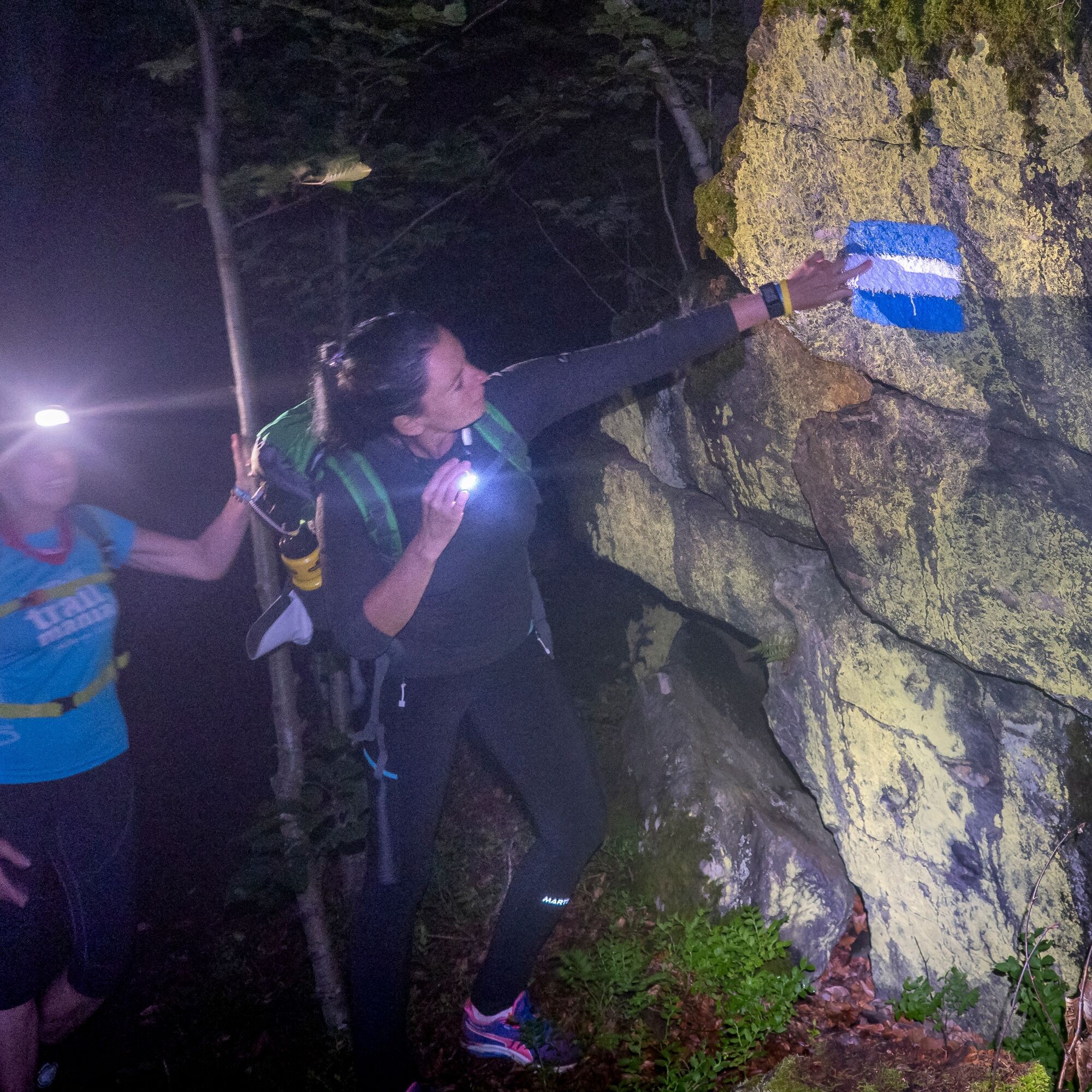
- Head torch
- First aid kit
- Emergency thermal blanket
- Rain jacket
- A (charged) mobile phone, including an app for determining GPS coordinates in an emergency
PICK-UP SERVICE TERMS AND CONDITIONS
Participants who are picked up will be taken exclusively to Pörtschach! Please be prepared for longer waiting times when being picked up.
In the event of withdrawal and private return journey:
Please cancel by sending your name via text message to
+43 680 110 38 08
Take the A2 or B83 to Pörtschach
You can travel here by bus or train
Parking is available in the village
T2
Kamery internetowe z trasy
Aussichtsturm Pyramidenkogel
Parkhotel Pörtschach
Velden - Bootswerft Schmalzl
Hotel Schloss Seefels
Klagenfurt am Wörthersee / Neuer Platz
Wörthersee / Saag
Klagenfurt am Wörthersee
Strandbad Klagenfurt
Schloss Loretto
Aussichtsturm Pyramidenkogel
Velden - Barry Memle
Velden - Barry Memle
Köttmannsdorf - Plöschenberg
Jilly Beach
Velden Kurpark / Karawankenplatz
Strandpark Velden
Bucht Velden / Bootswerft Schmalzl
Golf Velden am Wörthersee
Hotel Post Wrann
Pörtschach Süd
Klagenfurt Sternwarte
Falkensteiner Schlosshotel Velden
Observation Tower - Pyramidenkogel
Strandbad Klagenfurt
Werzers Hotel Resort
Kathreinkogel - Schiefling am Wörthersee
Popularne wycieczki w okolicy
- 5,0
Wörthersee EXTREM
ciężkiWędrówka 60,1 km - 4,5
Pyramidenkogel path Maria Wörth
średniWędrówka 10,8 km - 4,3
Cycling around Lake Wörthersee – leisurely cycling between turquoise blue water and fantastic views
średniJazda na rowerze 48,2 km - 4,7
Zillhöhe
średniBieganie 7,94 km - 4,7
Hoher Gallin route
średniWędrówka 7,09 km - 4,1
Slow Trail Bleistätter Moor (Variant A)
światłoWędrówka 7,22 km - 4,5
Maria Rain-Petelinz-Kaiserhütte
światłoWędrówka 6,45 km - 4,5
Ulrichsberg
światłoWędrówka 5,60 km - 3,9
Lake Wörthersee Circular Route
średniJazda na rowerze 41,2 km - 3,9
Singerberg, über die Südseite
średniWędrówka 7,87 km
Wędrówki i tropienie


Nie przegap ofert i inspiracji na następne wakacje
Twój adres e-mail została dodana do listy mailingowej.