


Hike to Schareck
Poziom trudności: T2
Zdjęcia naszych użytkowników
-
 © Hanssmit1297Utworzono dnia 06.03.2026
 -
 © Hanssmit1297Utworzono dnia 06.03.2026
 -
 © Hanssmit1297Utworzono dnia 06.03.2026
 -
 © Raymond Hoi JinUtworzono dnia 16.08.2025
 -

 © Stevie VerwonderdUtworzono dnia 14.06.2025
 -
 © Stevie VerwonderdUtworzono dnia 14.06.2025
 -
 © Stevie VerwonderdUtworzono dnia 14.06.2025
 -
 © Stevie VerwonderdUtworzono dnia 14.06.2025
 -
 © Bob FUtworzono dnia 18.02.2026


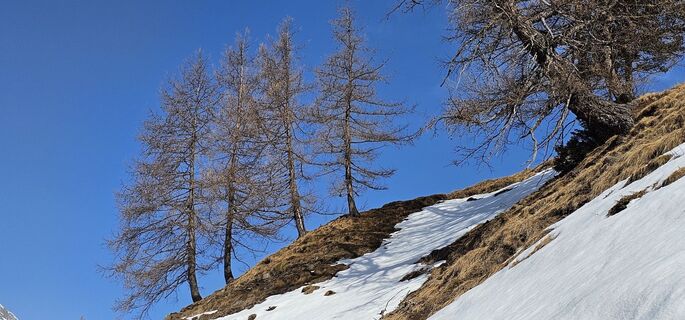
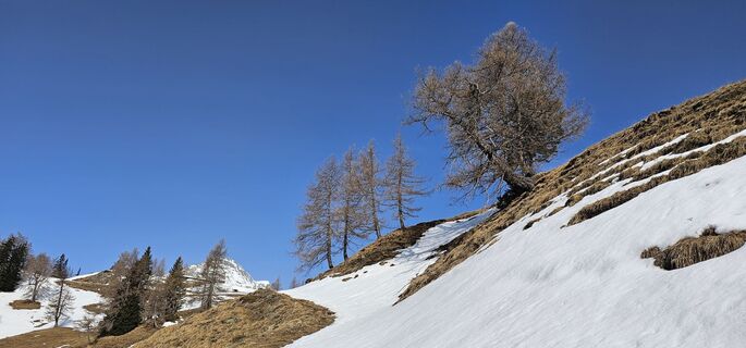
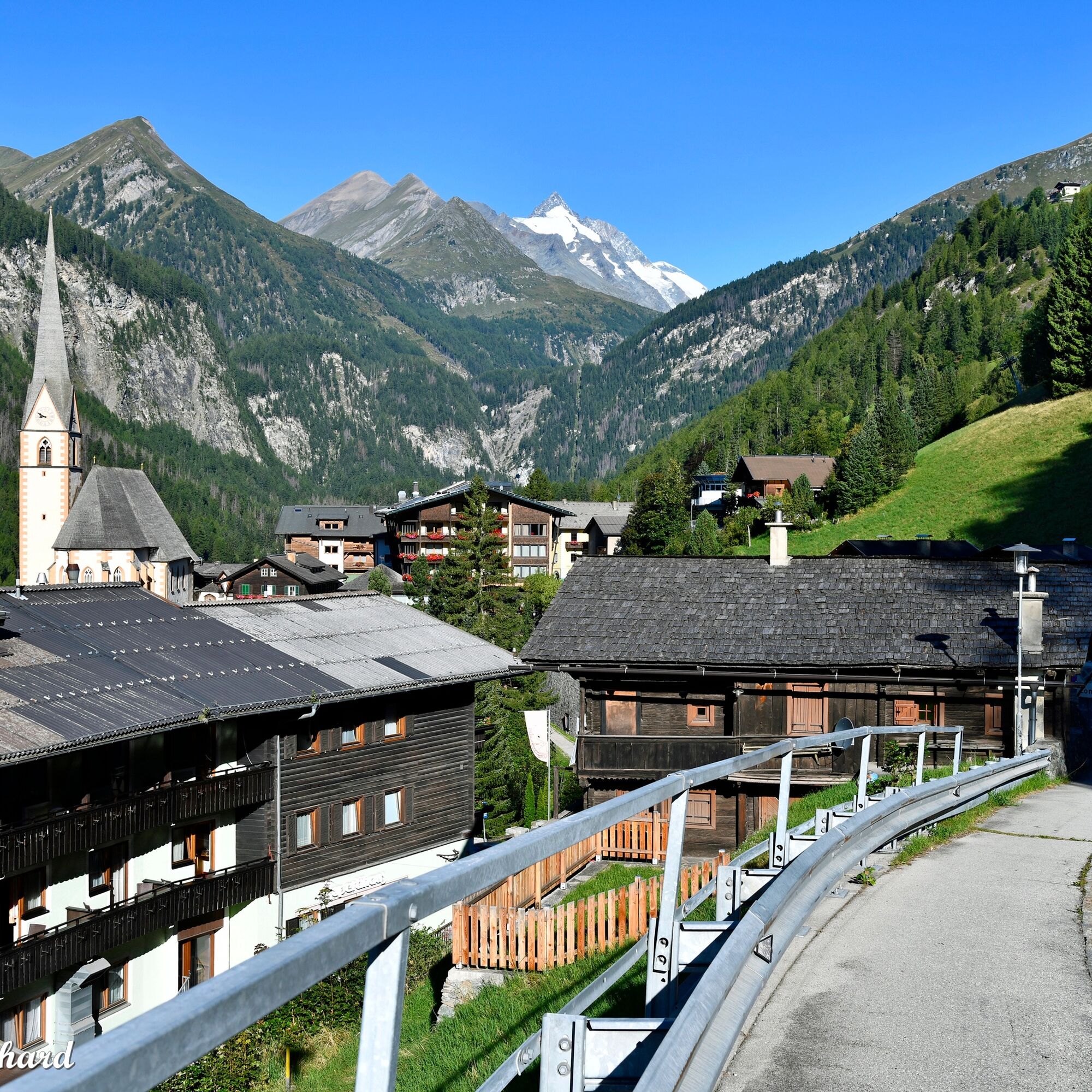
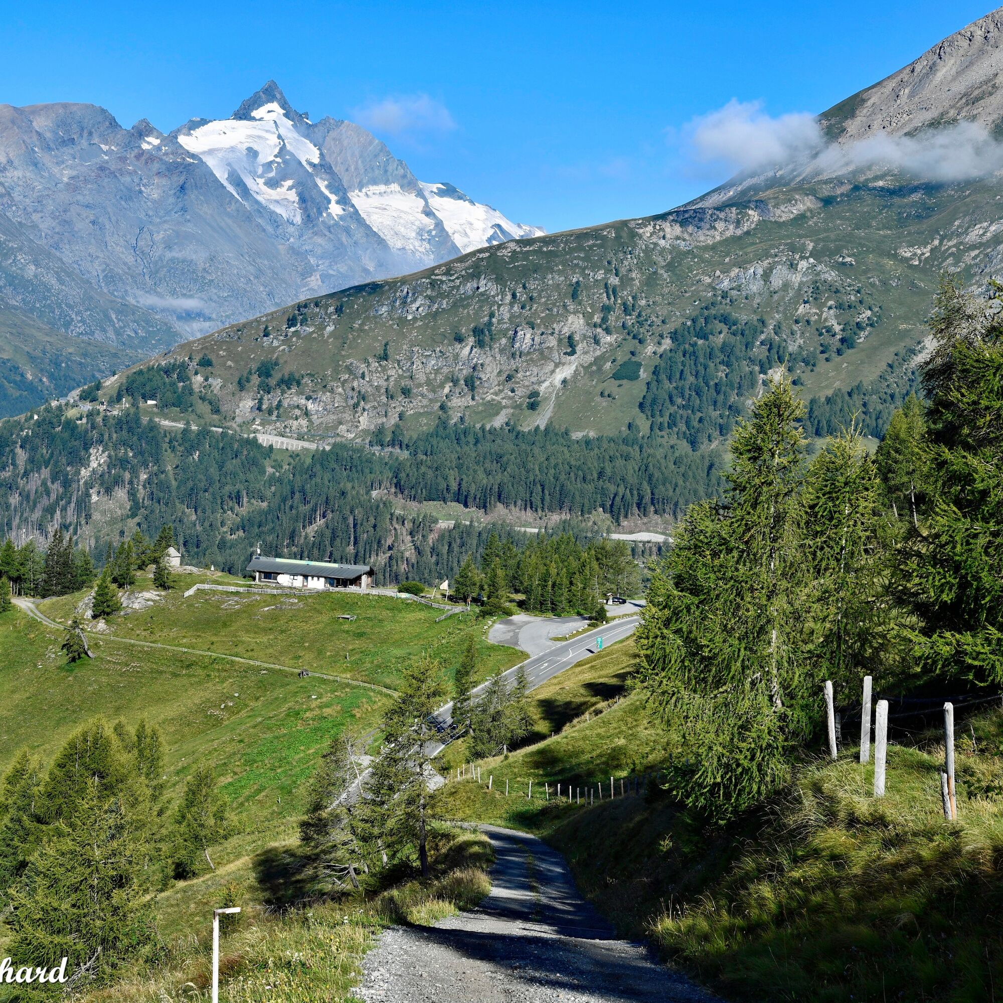
We start at the “House of the Ibex” and walk about 260 m uphill along the Grossglockner High Alpine Road. Then we turn left. The path is not difficult, but a bit steep. Now we follow the always well-marked...
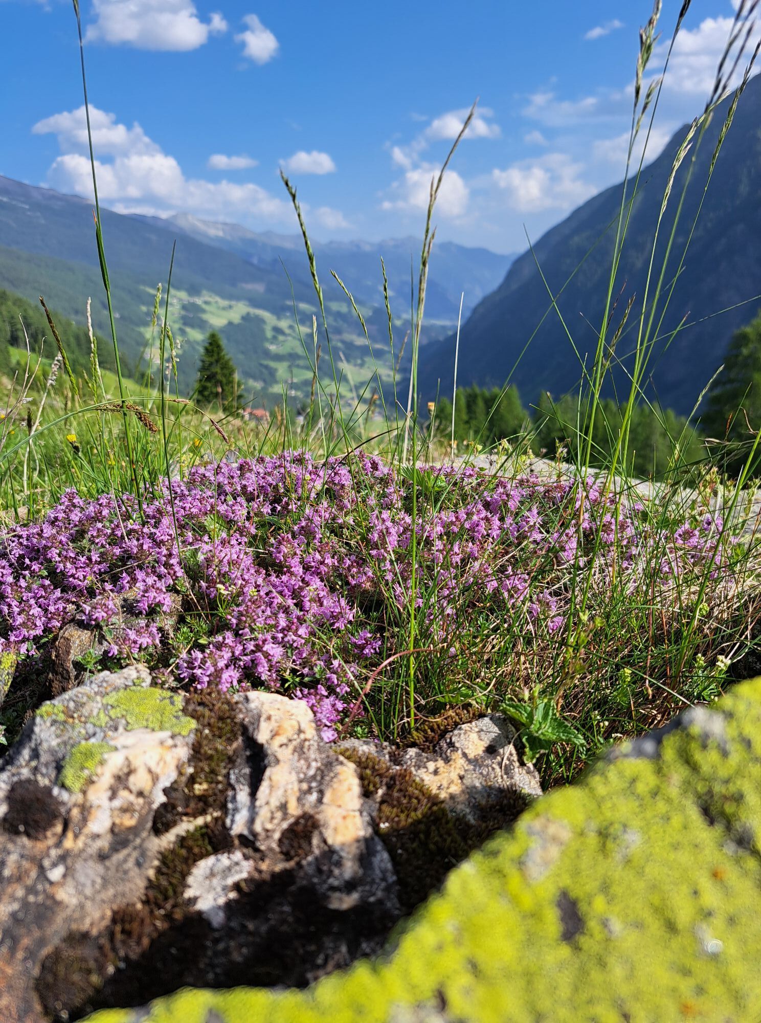
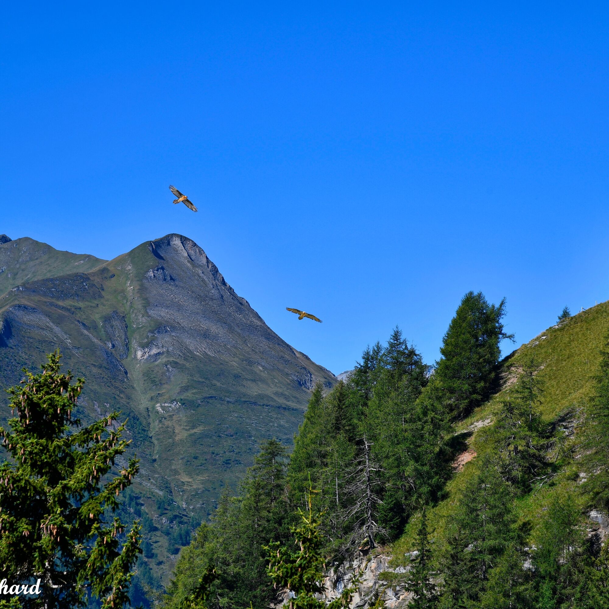
We start at the “House of the Ibex” and walk about 260 m uphill along the Grossglockner High Alpine Road. Then we turn left. The path is not difficult, but a bit steep. Now we follow the always well-marked trail towards Kasereck. We are surrounded by a colorful display of flowers, and several times we see an eagle circling high in the sky.
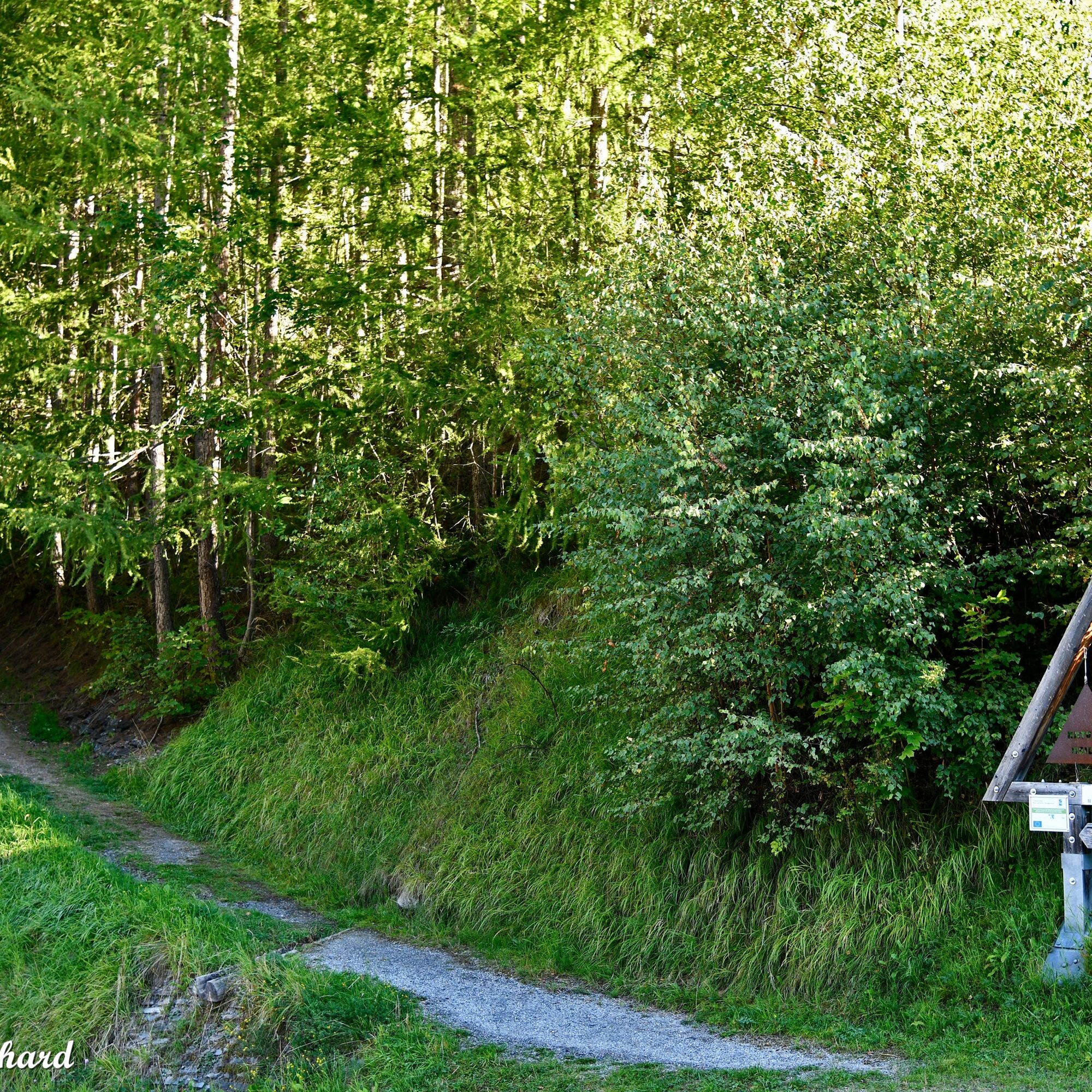
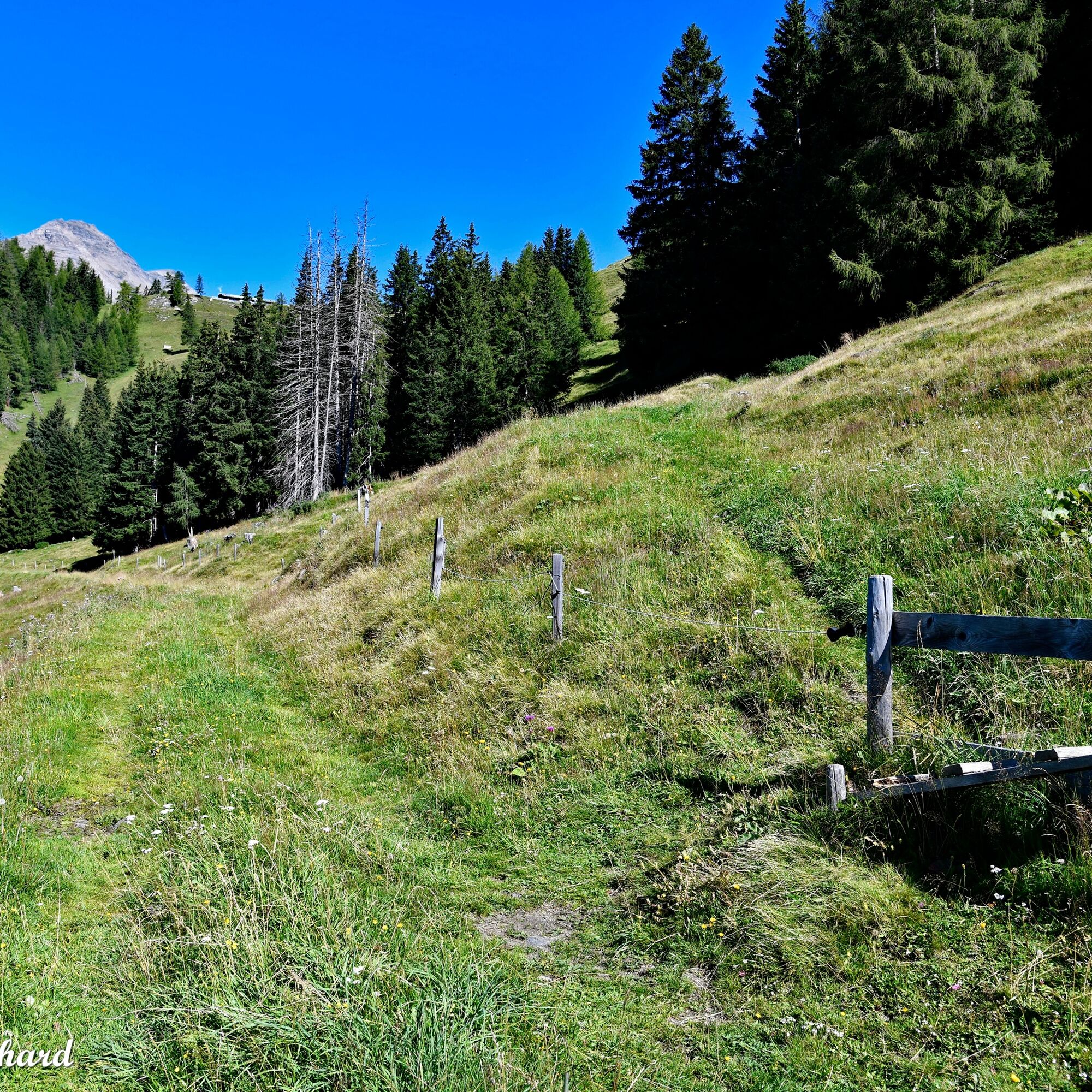
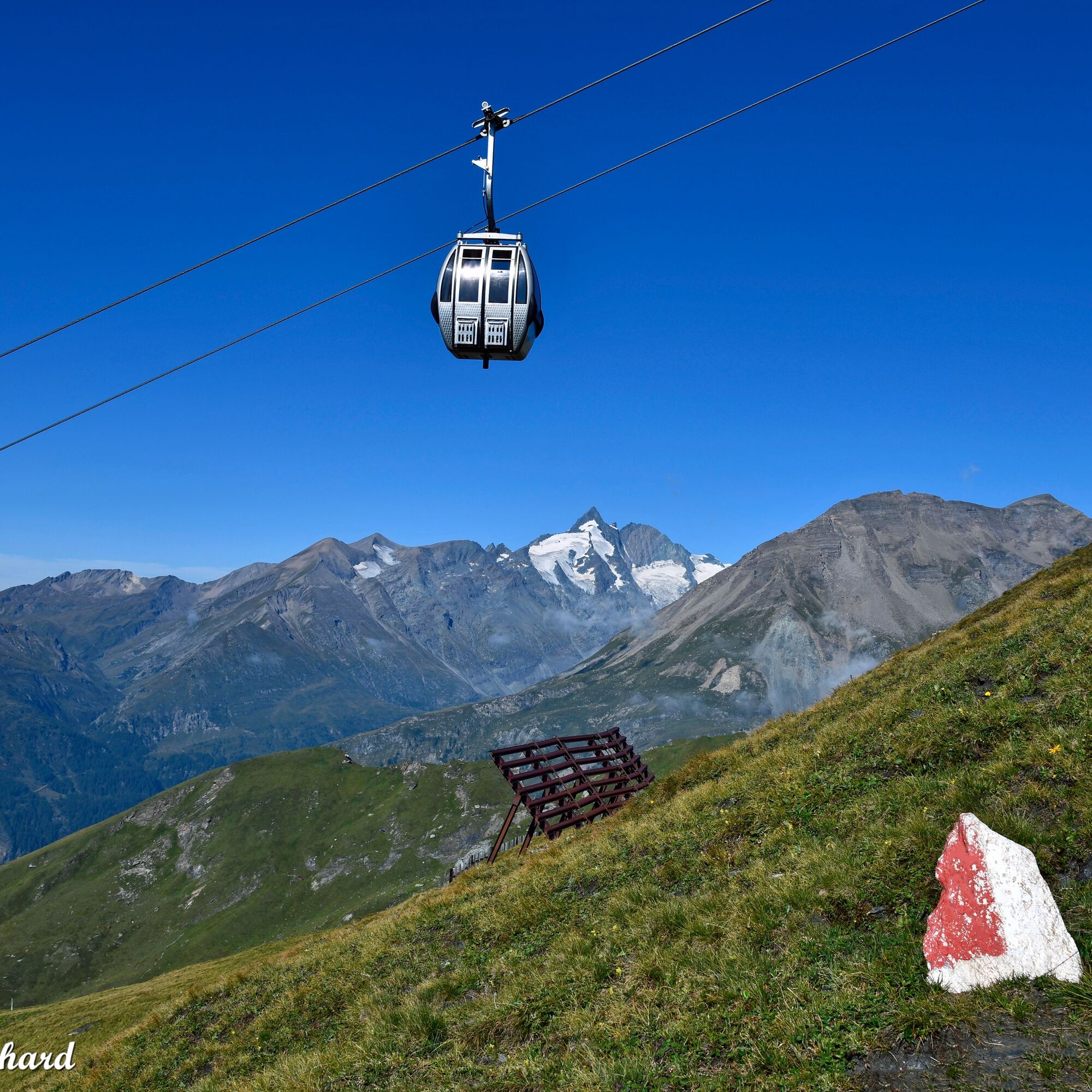
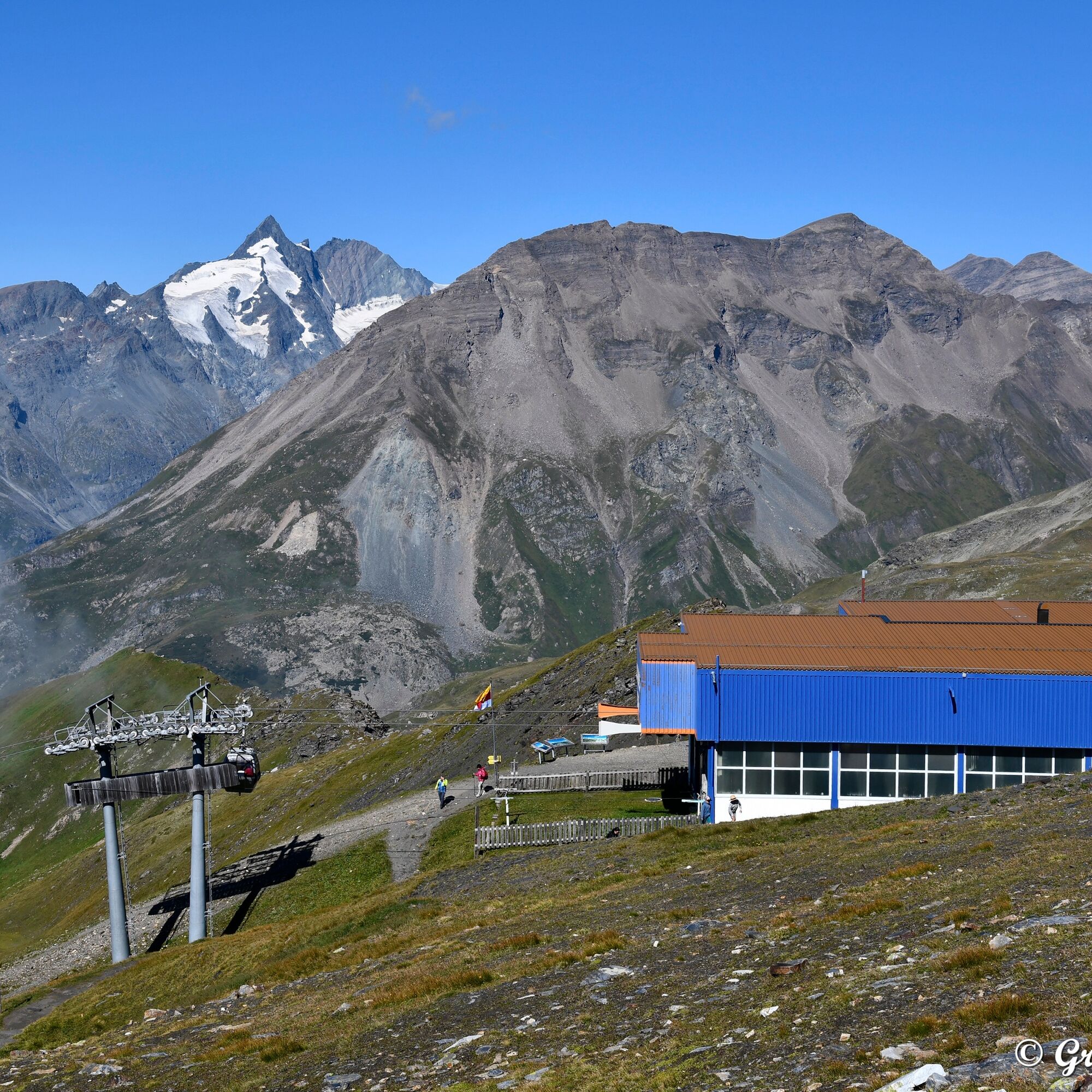
Shortly before Kasereck, we follow the signpost to the Tauernberg Hut. We cross the Glockner Road and continue hiking towards Schareck. Along the way, impressive information boards provide insights into the natural forces of this region. Soon, the mountain station of Schareck comes into view. We leave this on the left and continue climbing further up to the destination: the summit cross.
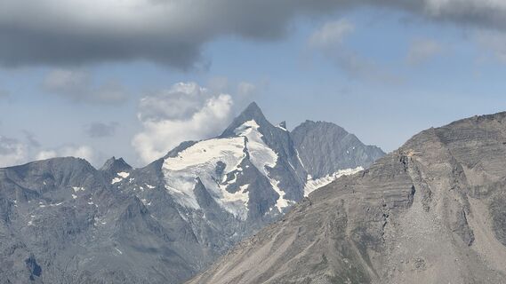
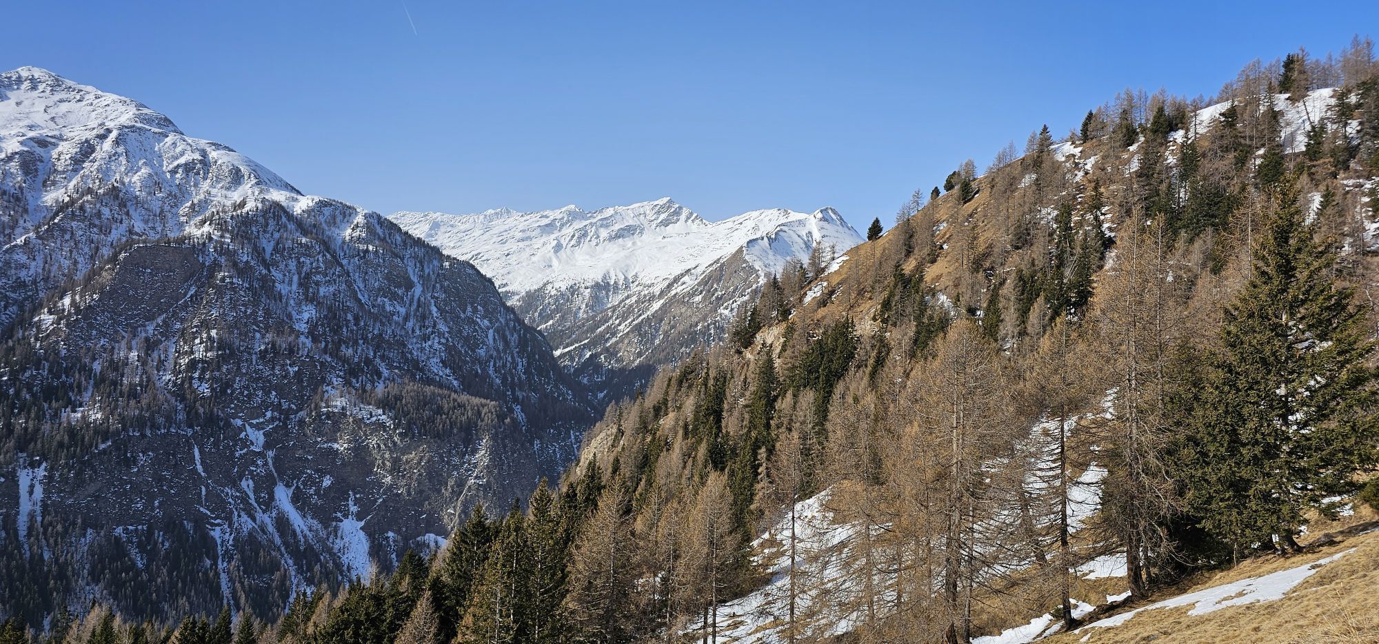
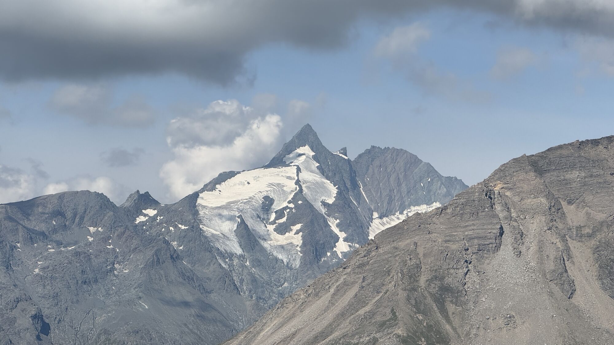
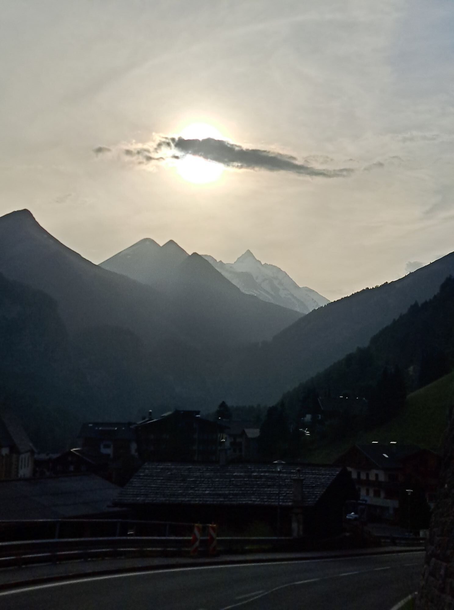
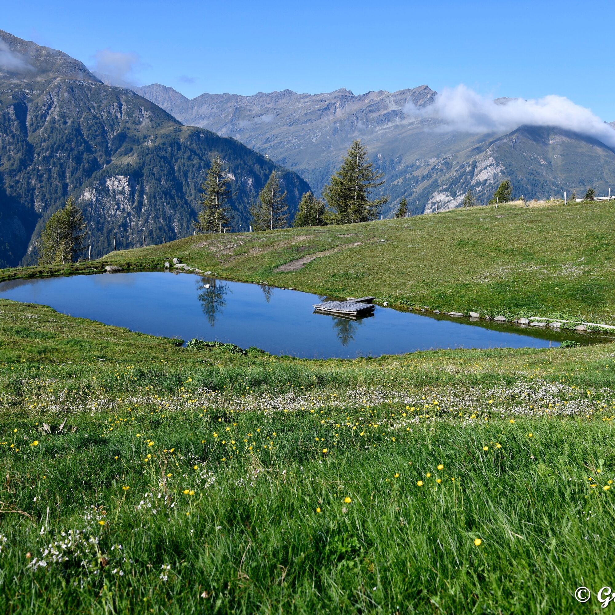
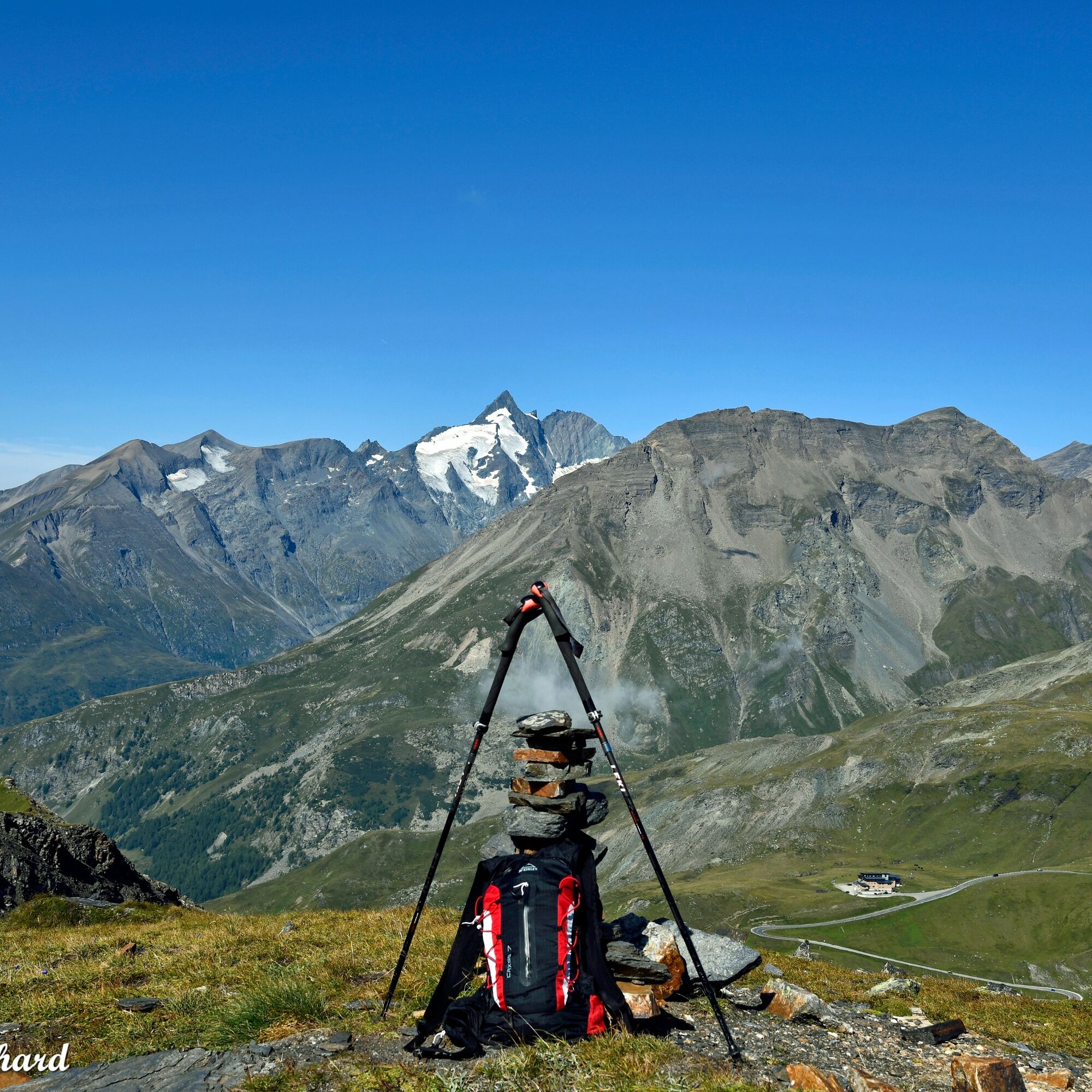
The views of the peaks and mountains of the Hohe Tauern are particularly impressive for those who take time on this hike to pause and let their gaze wander into the distance.


T2
Kamery internetowe z trasy
-
Heiligenblut Ort
-
Fallbichl
-
Rossbach Mittelstation
-
Mesenatenhütte, Wallackhaus
-
Heiligenblut / Zirbenhof
-
Mesenatenhütte, Wallackhaus
-
Schareck
-
Fallbichl
-
Fallbichl
-
Fallbichl
-
Rossbach Mittelstation
-
Rossbach Mittelstation
-
Rossbach Mittelstation
-
Heiligenblut Ort
-
Heiligenblut Ort
-
Heiligenblut Ort
-
Heiligenblut Ort
Popularne wycieczki w okolicy
-
4,7
Geotrail Tauernfenster
światłoWędrówka 5,90 km -
4,7
Hohe Sonnblick Up
ciężkiWędrówka 9,14 km -
5,0
Silberpfennig, Salzburger Land/Österreich
średniWędrówka 13,8 km -
4,9
Glockner
średniWycieczka wysokogórska 19 km -
4,5
Niedersachsenhaus
średniWędrówka 4,84 km -
3,9
Glacier Route to the Pasterze with Gamsgrubenweg (up to Tunnel 6)
średniWędrówka 8,05 km -
4,3
Stüdlhütte -Großglockner
Wędrówka 4,68 km -
5,0
Rifflscharte - Kolmkarscharte - Bockhartscharte - Sportgastein
średniWędrówka 13,5 km -
4,9
Kaiser-Franz-Josefs-Höhe to Oberwalderhütte
ciężkiWędrówka 5,52 km -
4,3
Lucknerhaus zur Glorerhütte über Lucknerhütte zurück
średniWędrówka 11,2 km
Wędrówki i tropienie


Nie przegap ofert i inspiracji na następne wakacje
Twój adres e-mail została dodana do listy mailingowej.