







Kanzelhöhe circular trail
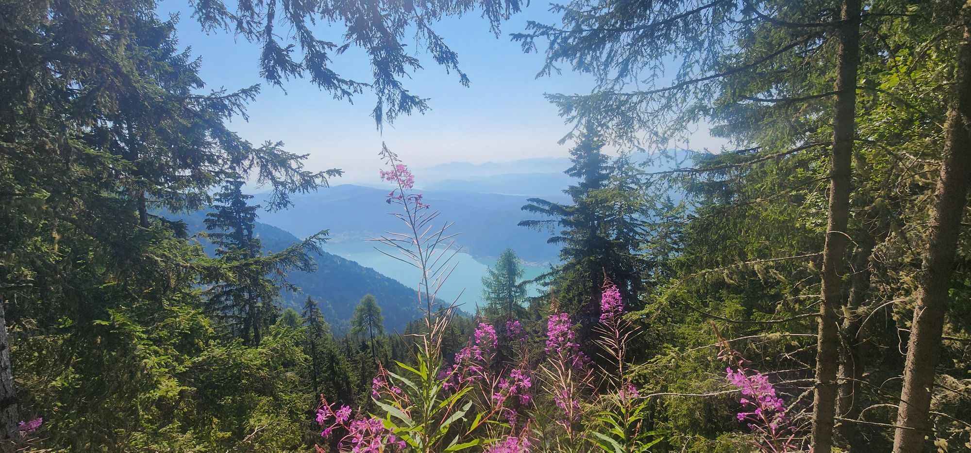
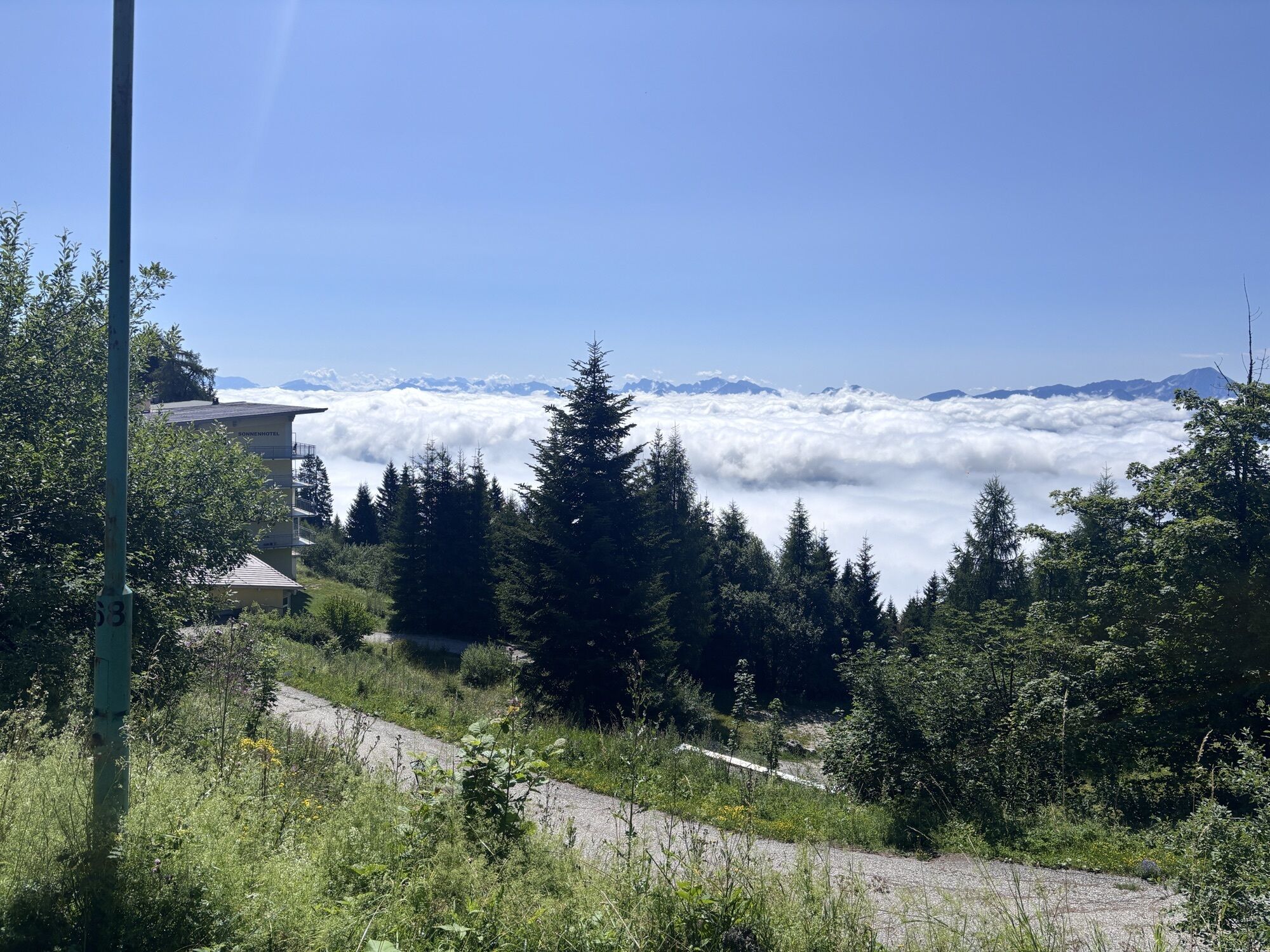
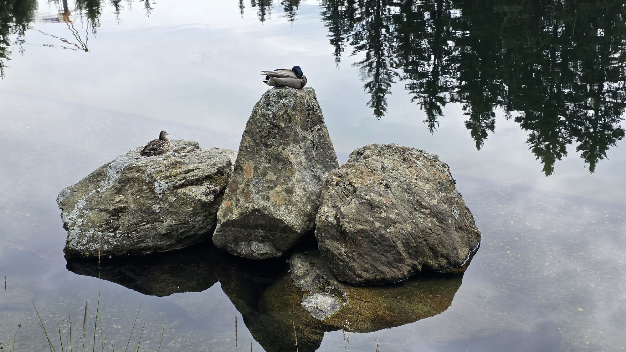
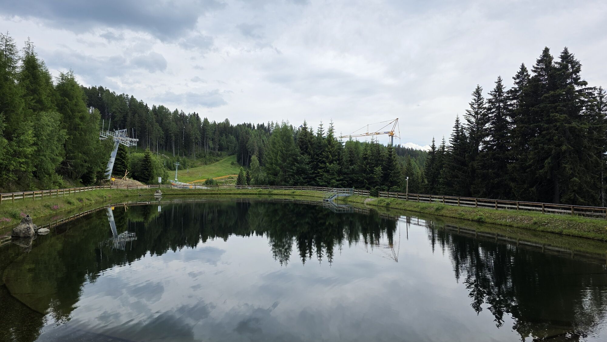
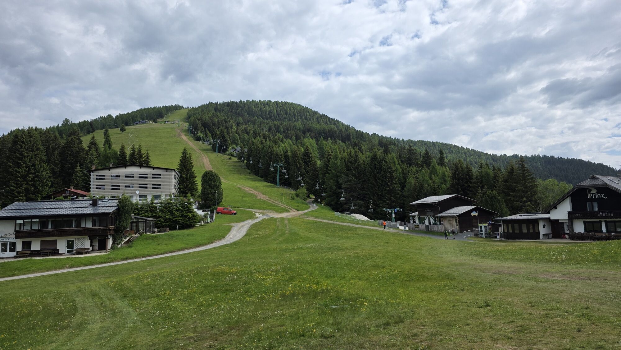
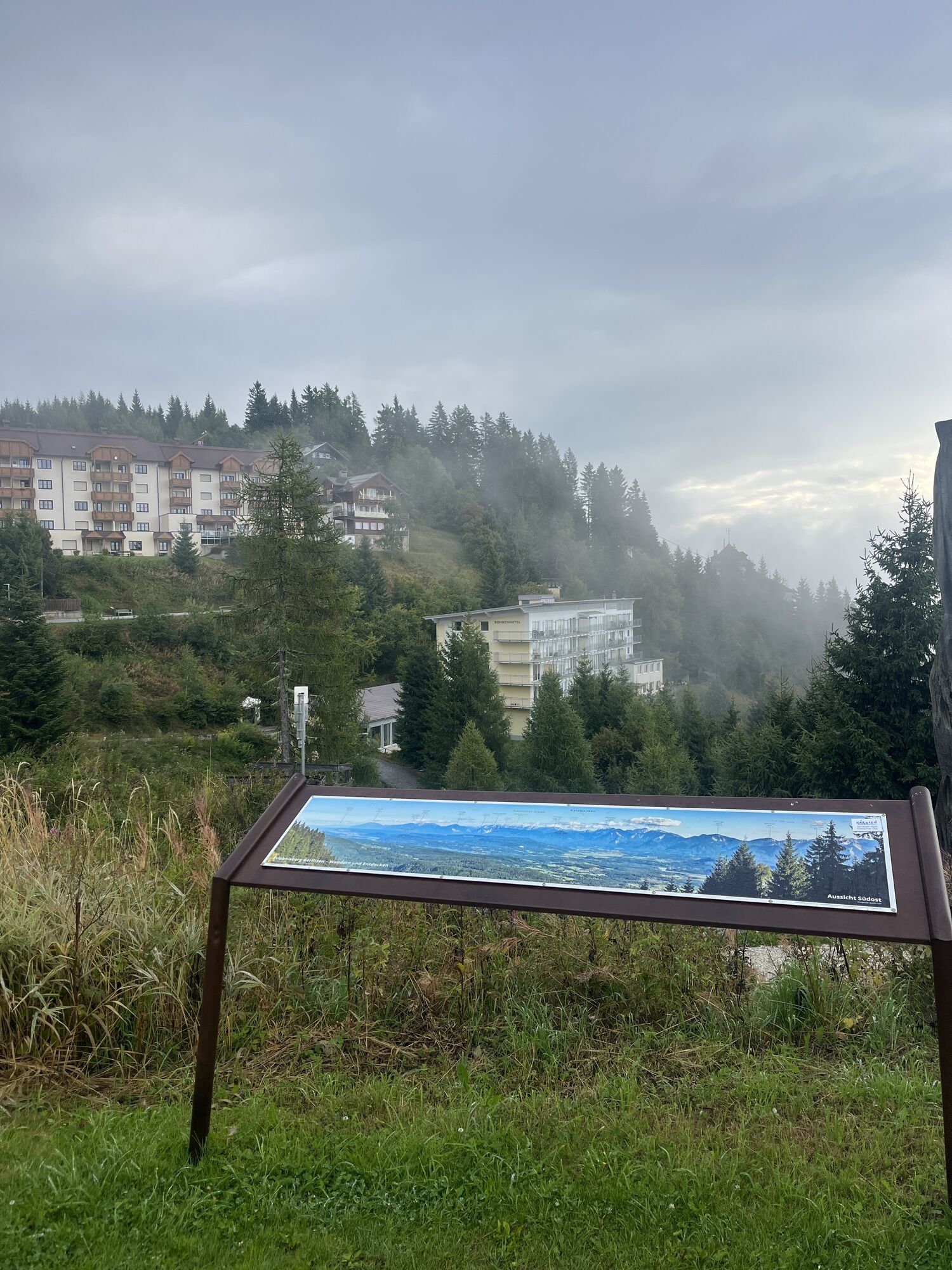
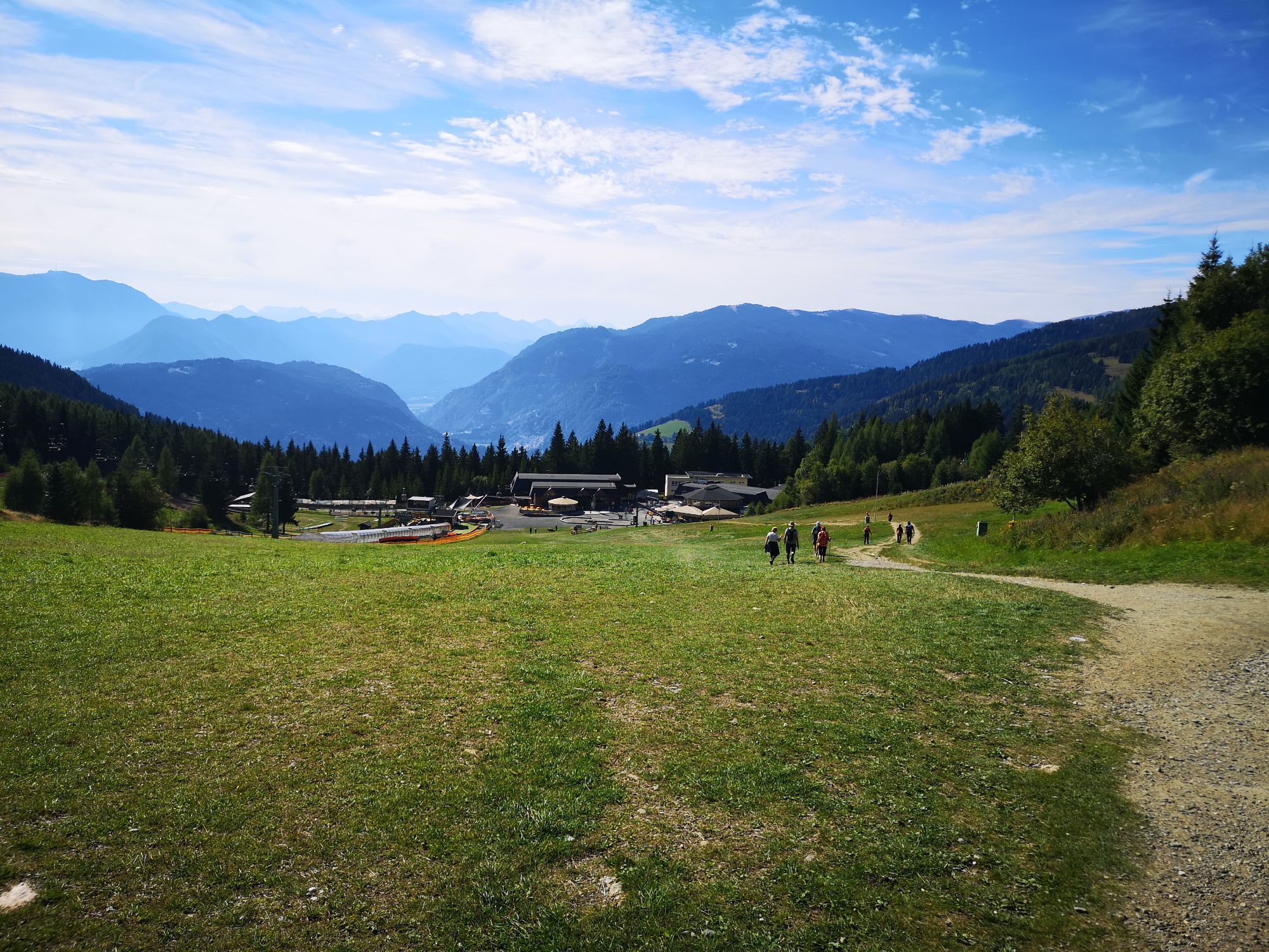
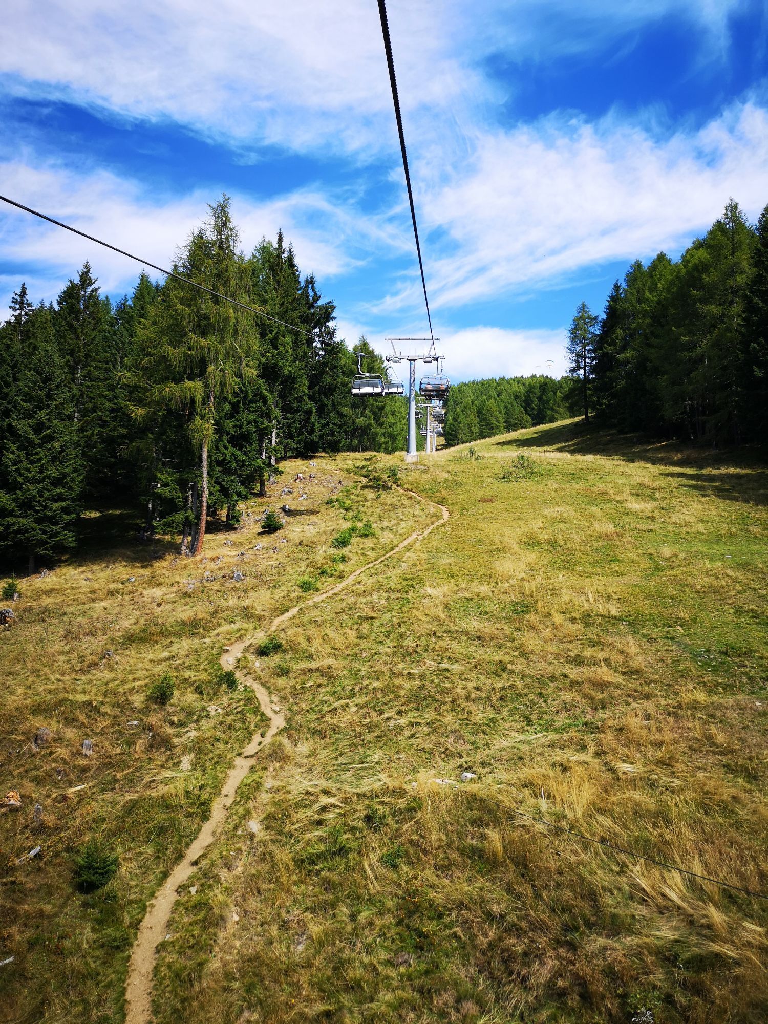
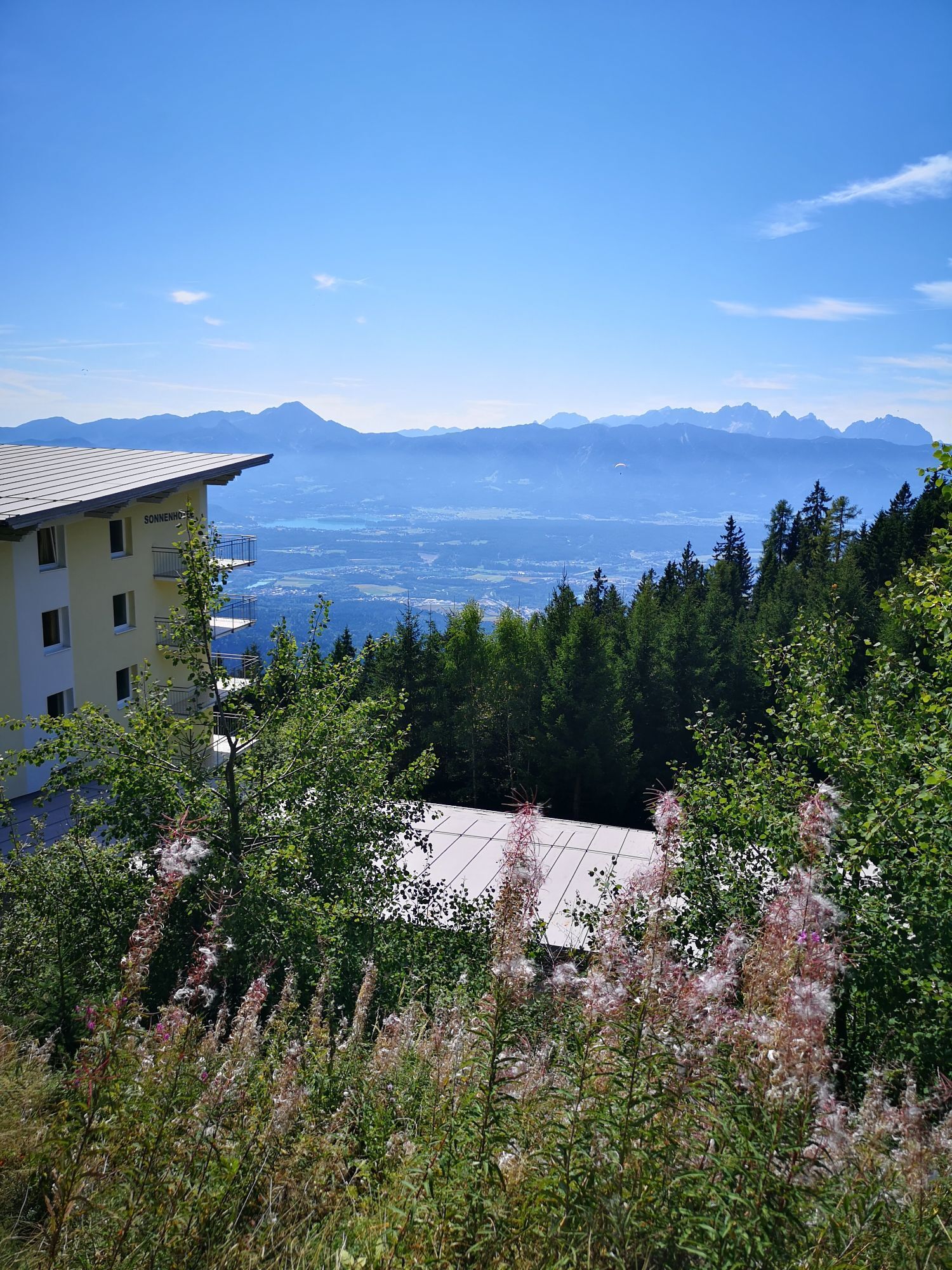
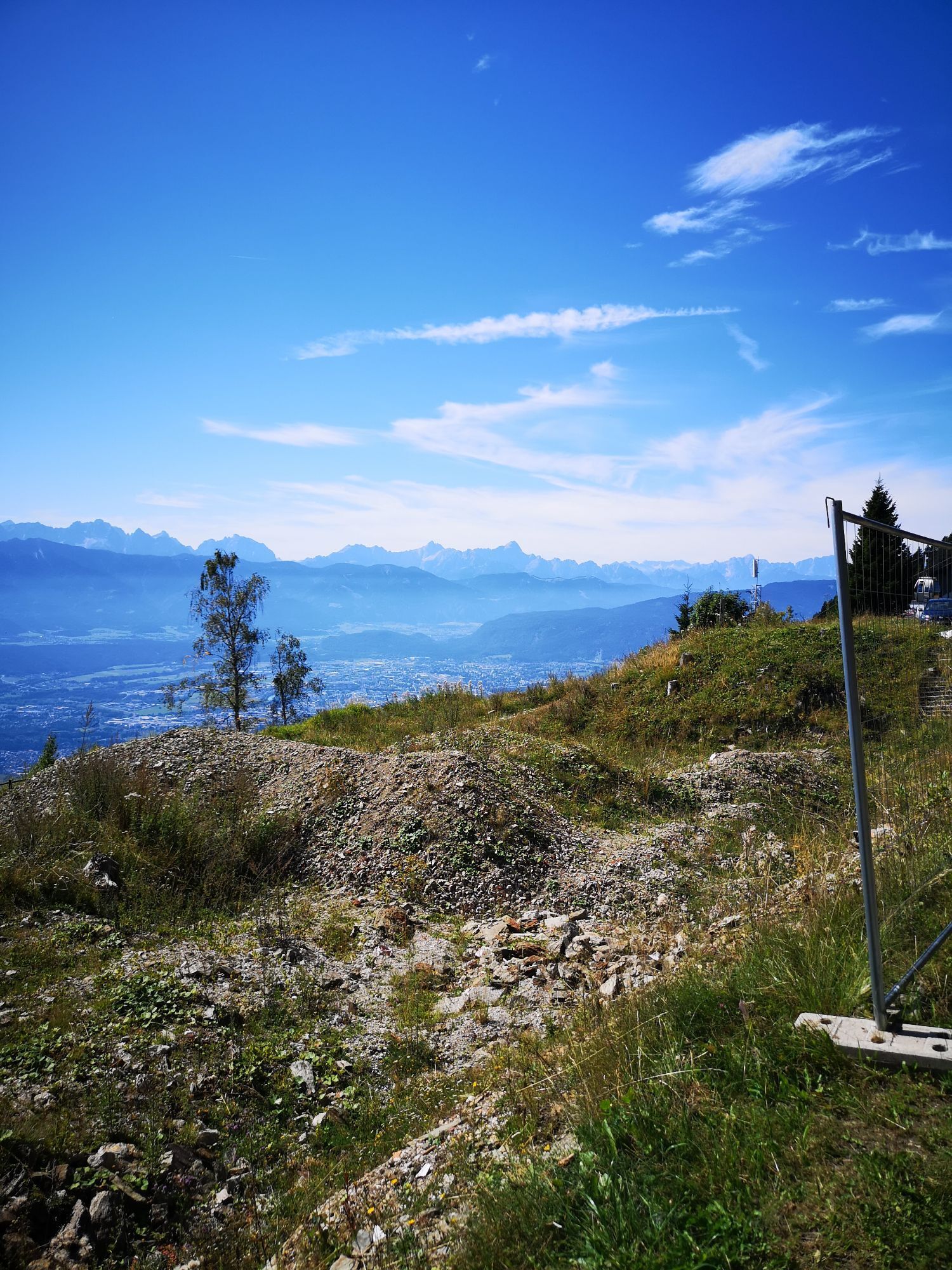
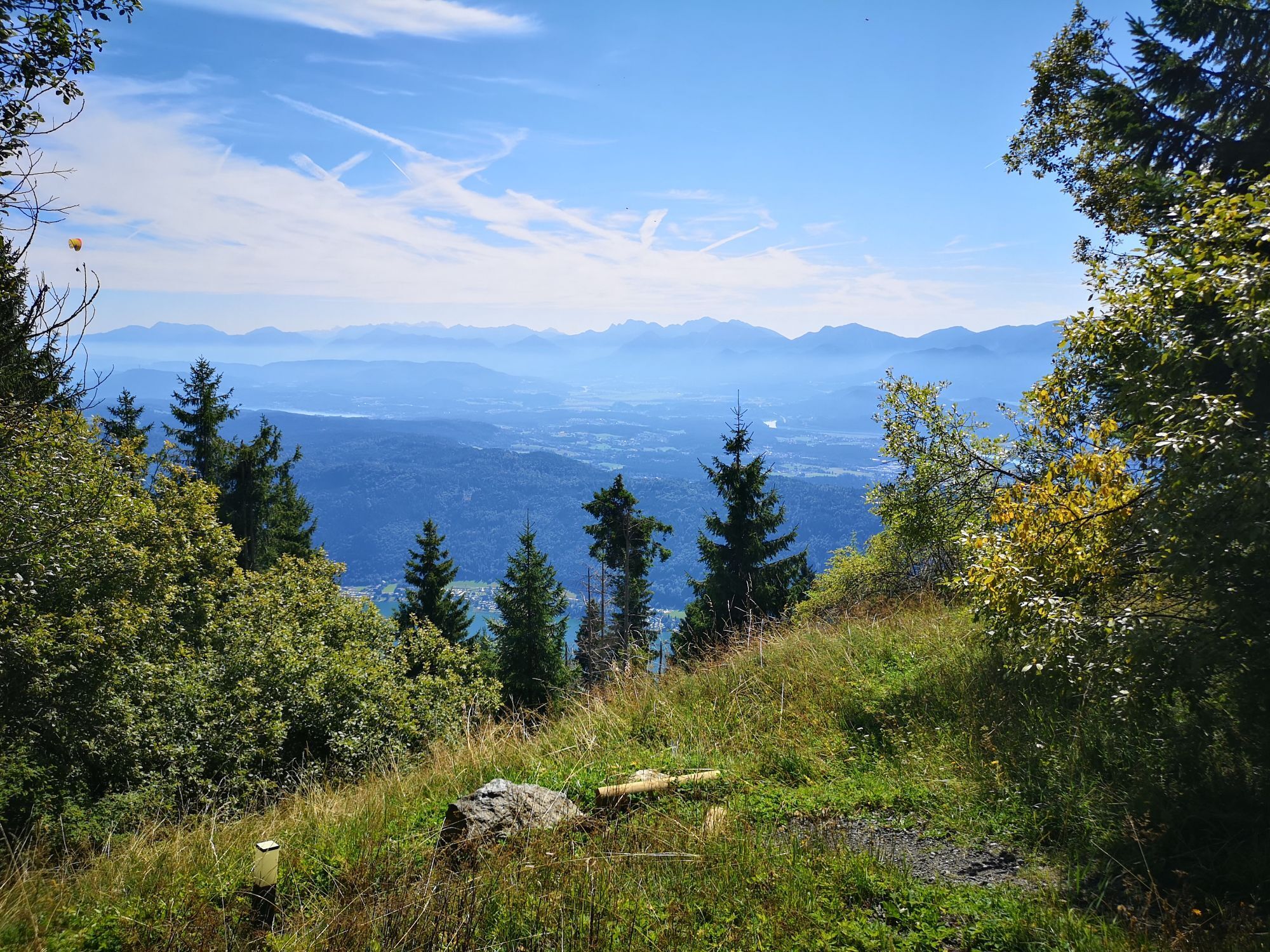
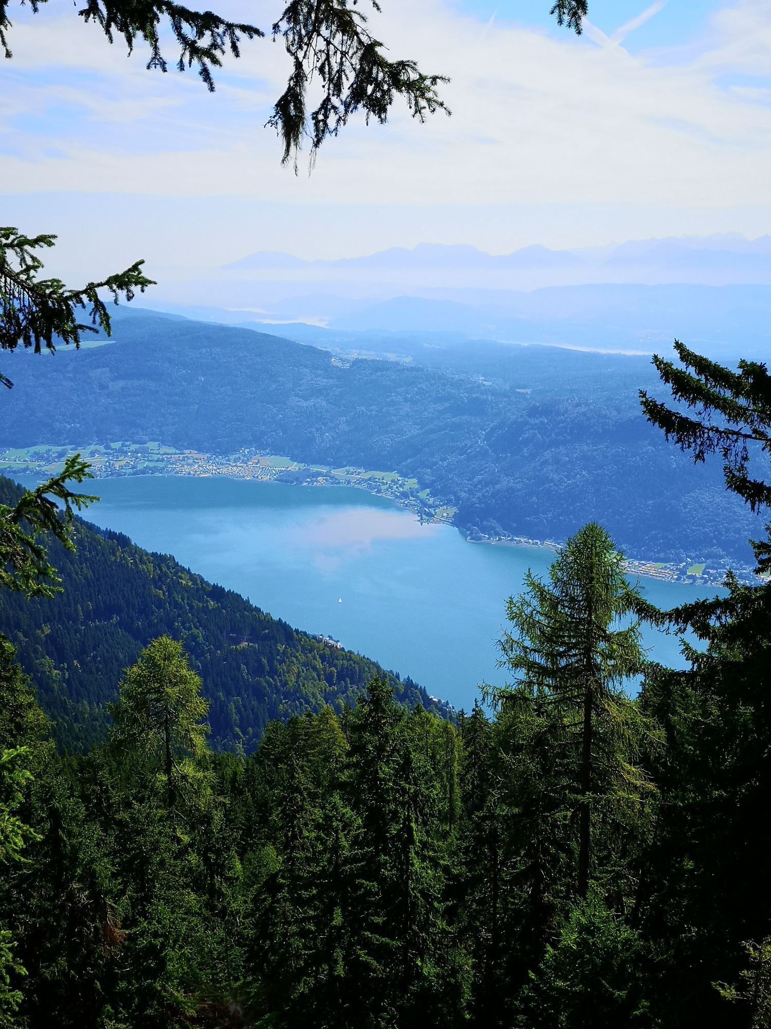
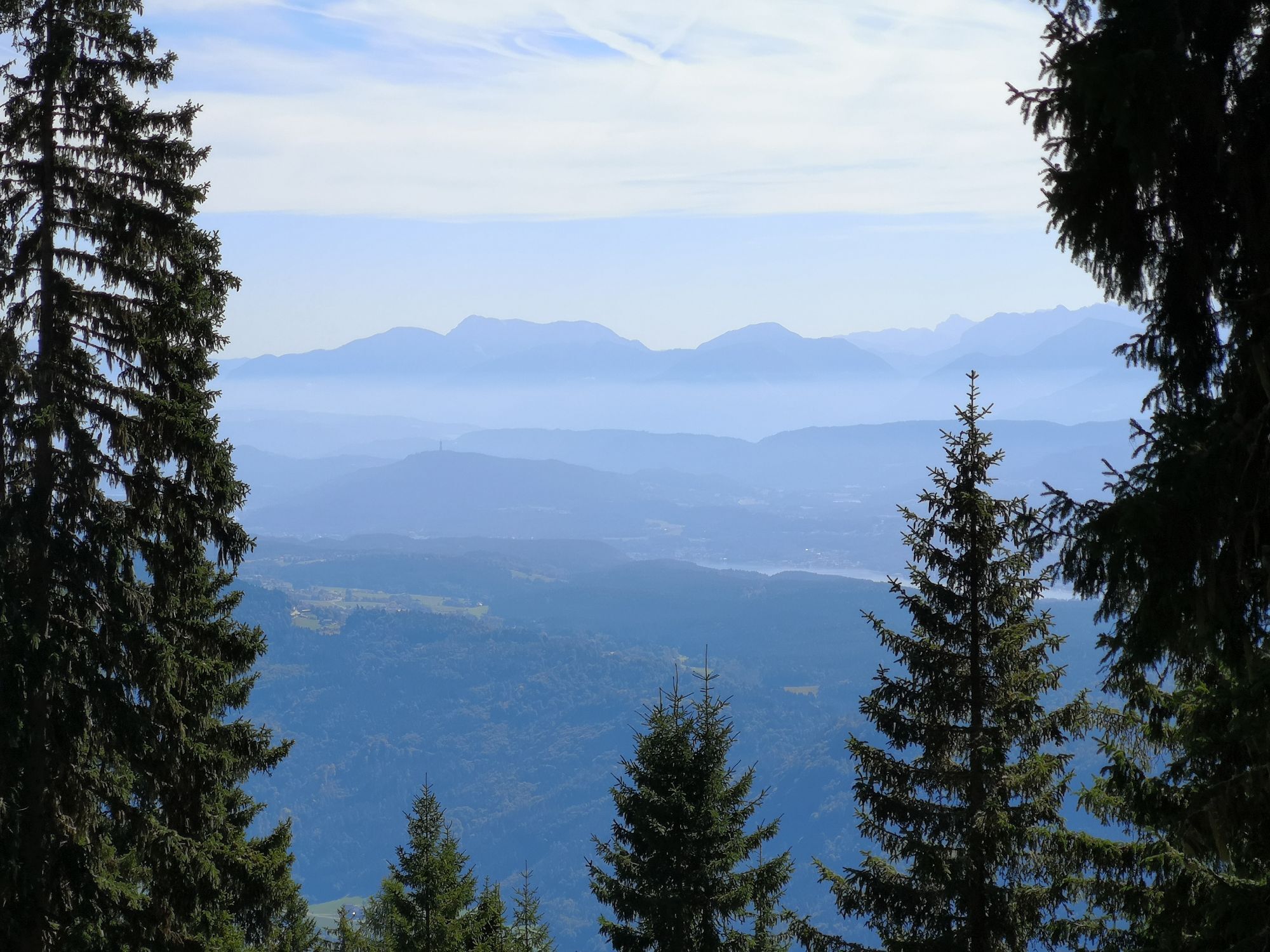
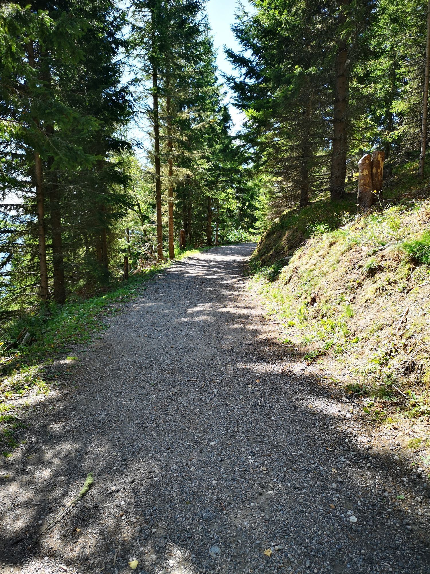
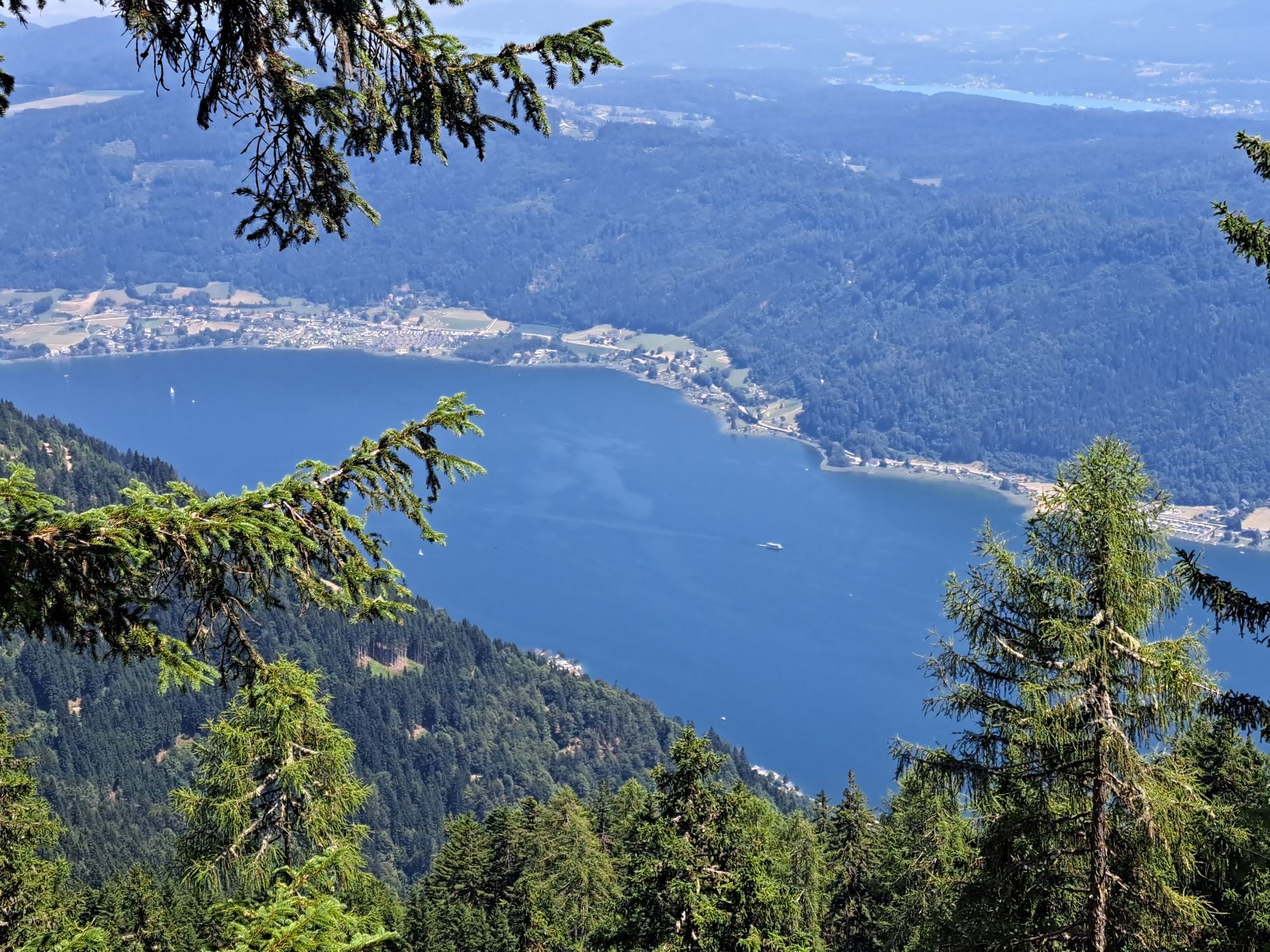
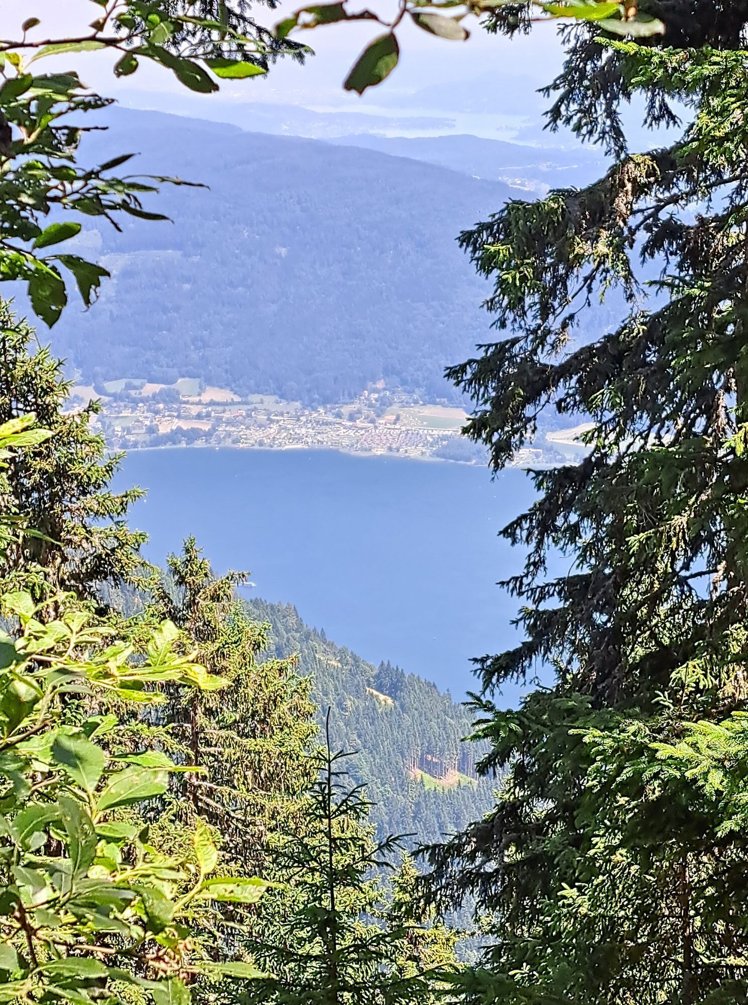
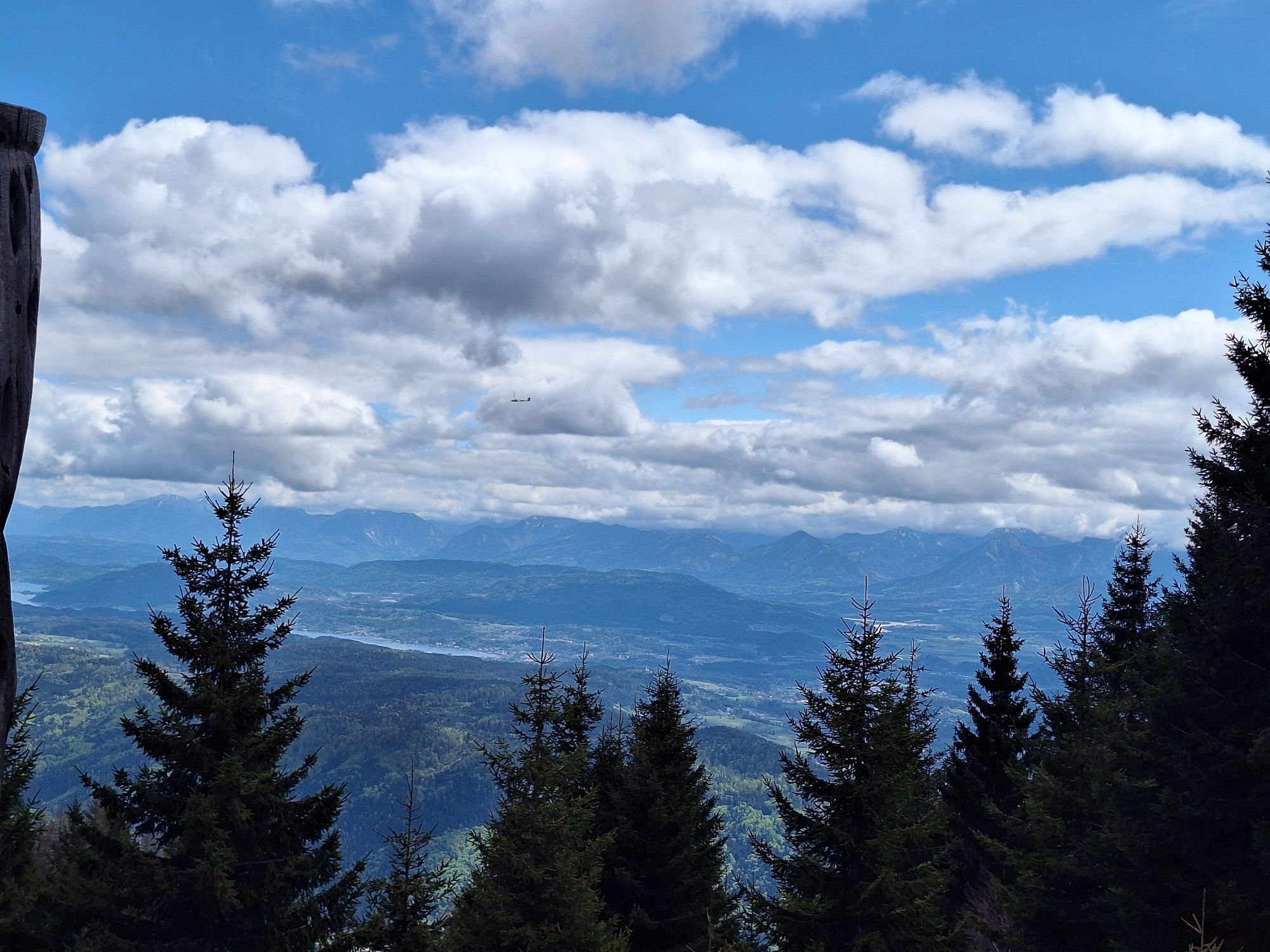
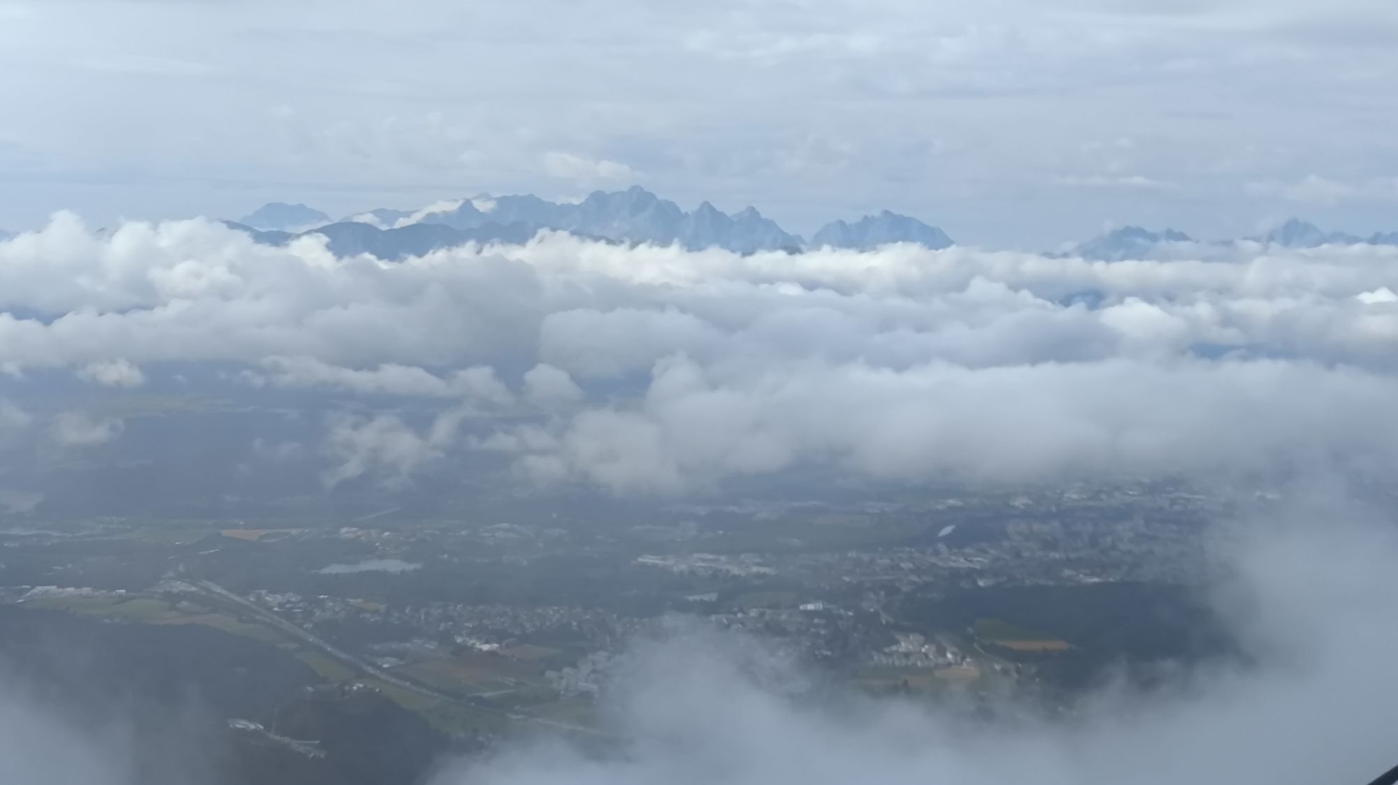
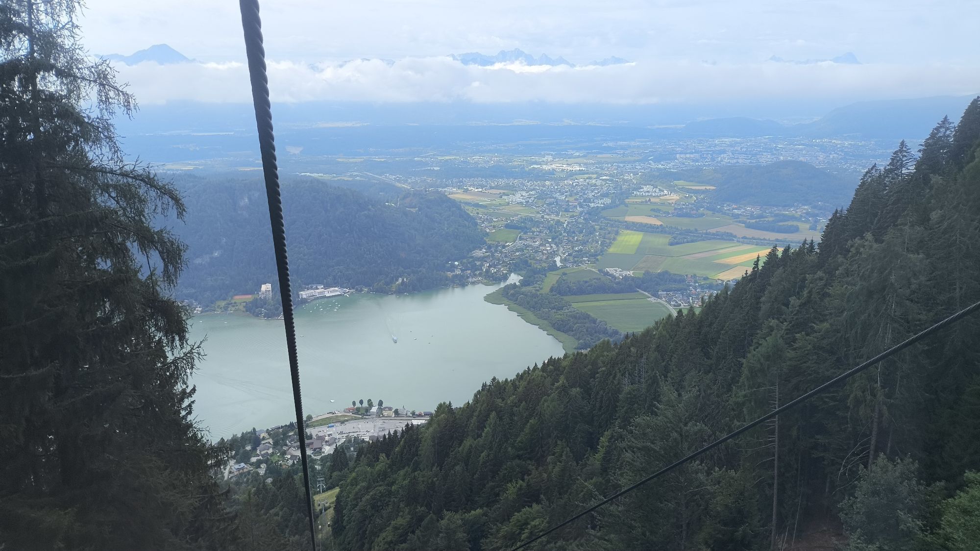
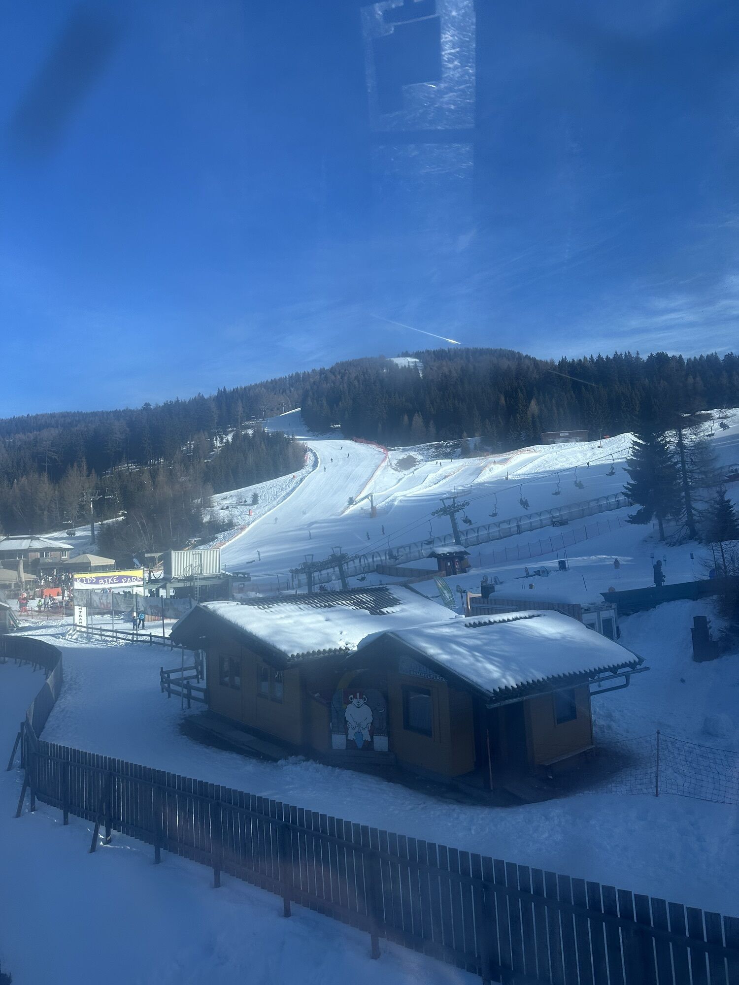
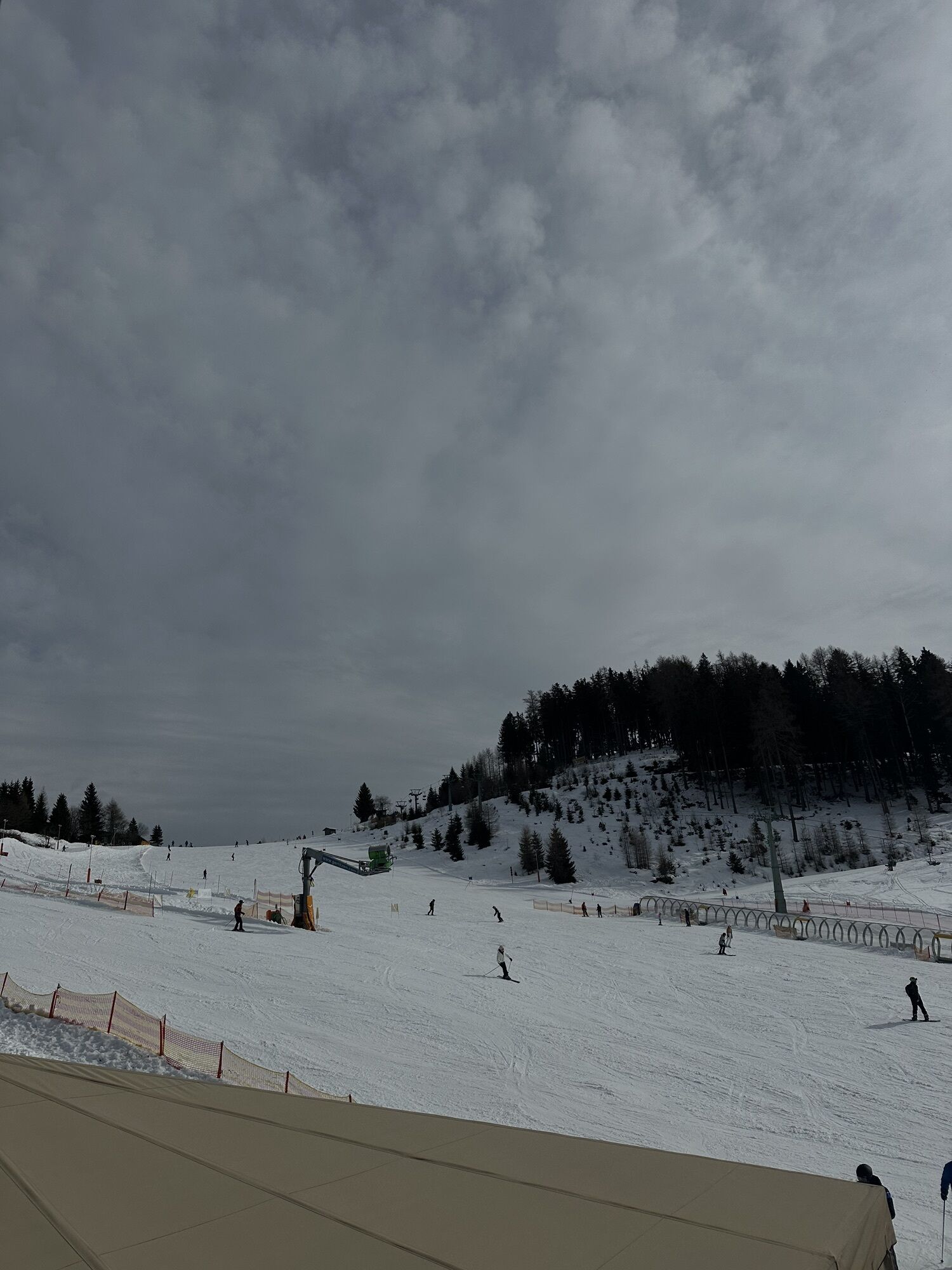
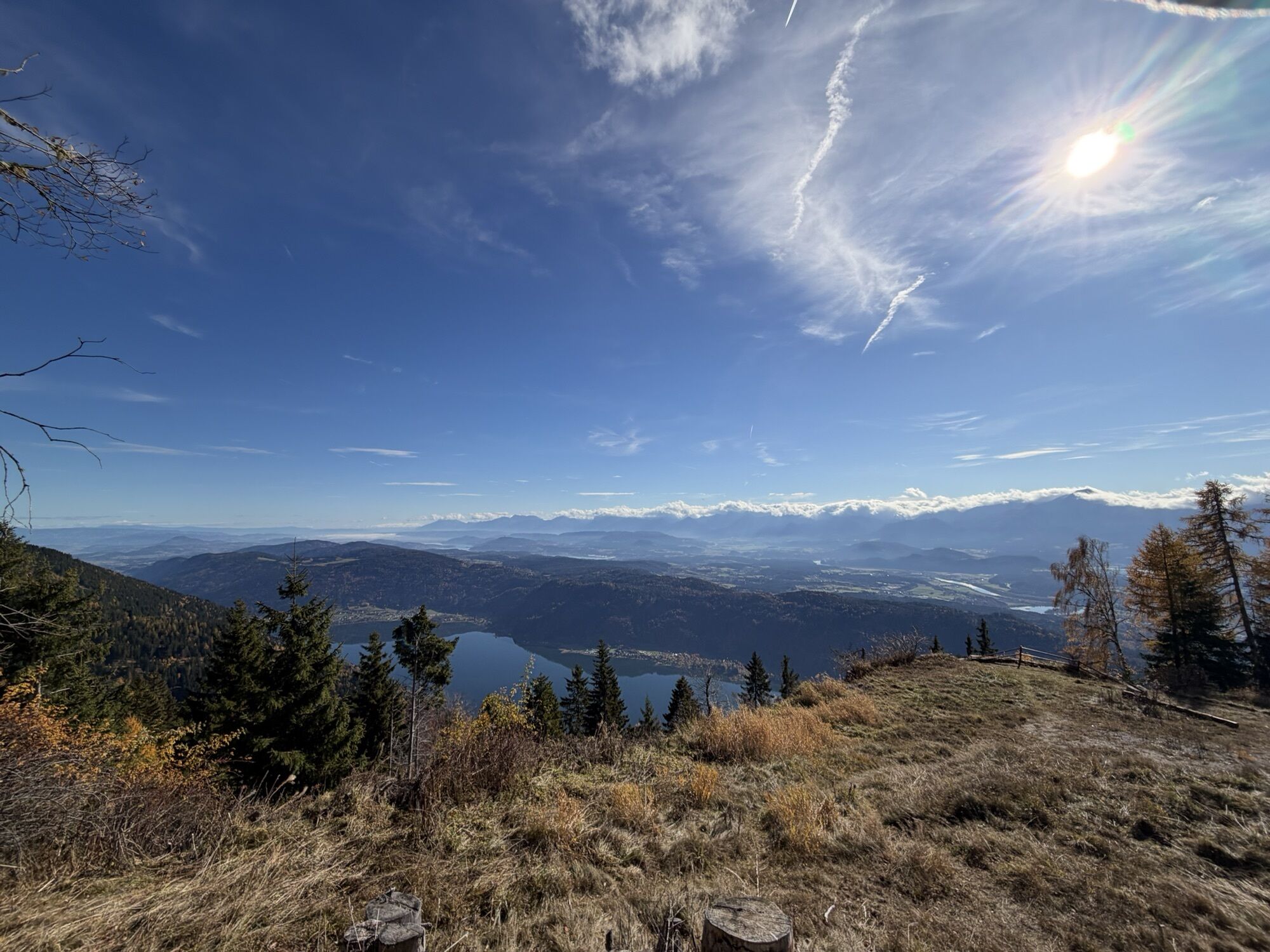
The Kanzel circular trail leads at a family-friendly distance to attractions such as the old Kanzelbahn mountain station, the solar observatory, the Adventure Park Gerlitzen, etc., and is equipped with...
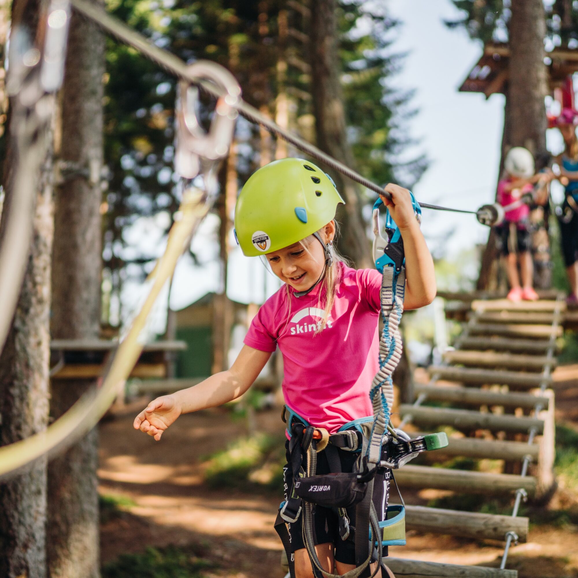
The Kanzel circular trail leads at a family-friendly distance to attractions such as the old Kanzelbahn mountain station, the solar observatory, the Adventure Park Gerlitzen, etc., and is equipped with informative display panels on the animal and plant world in the section around Kanzelhöhe.
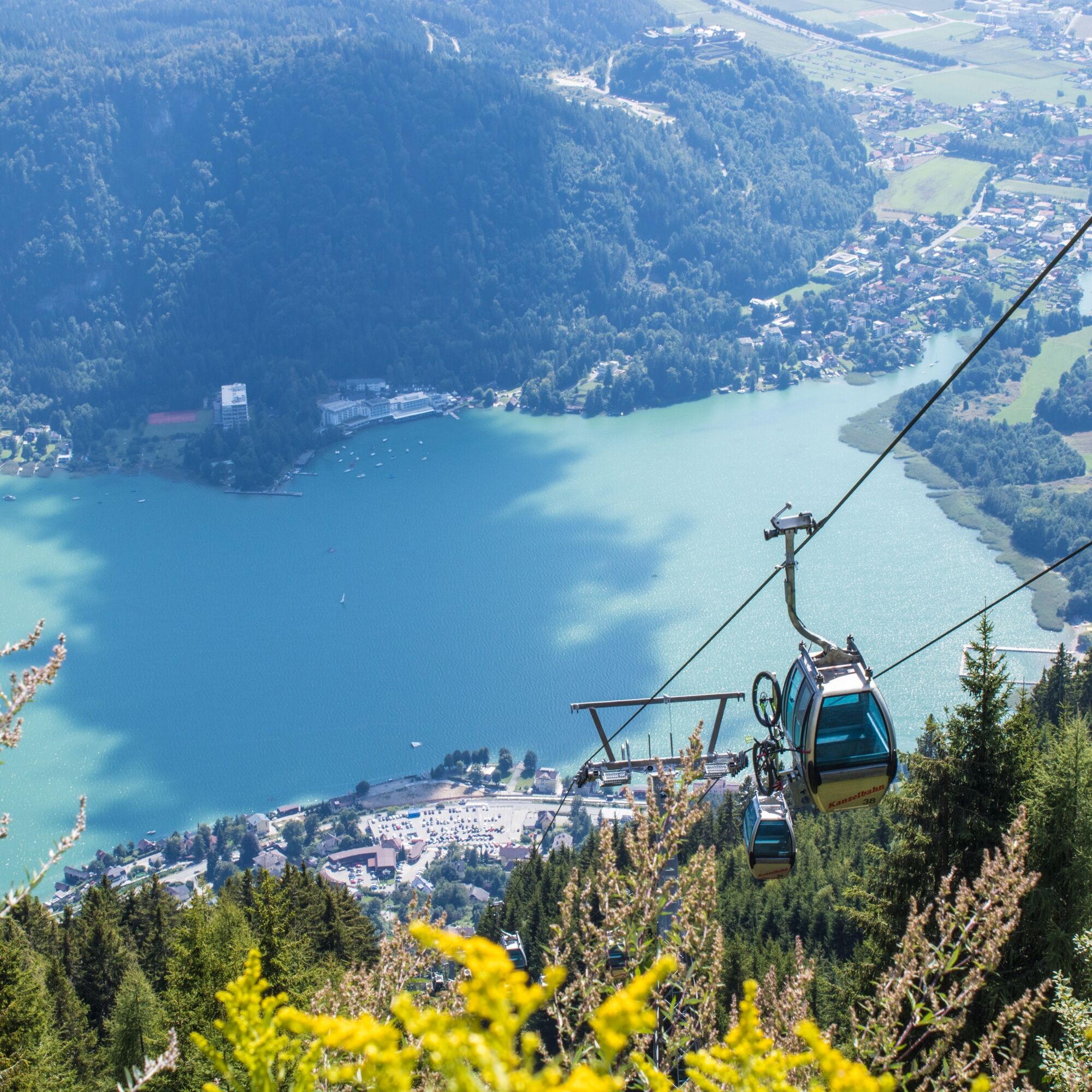
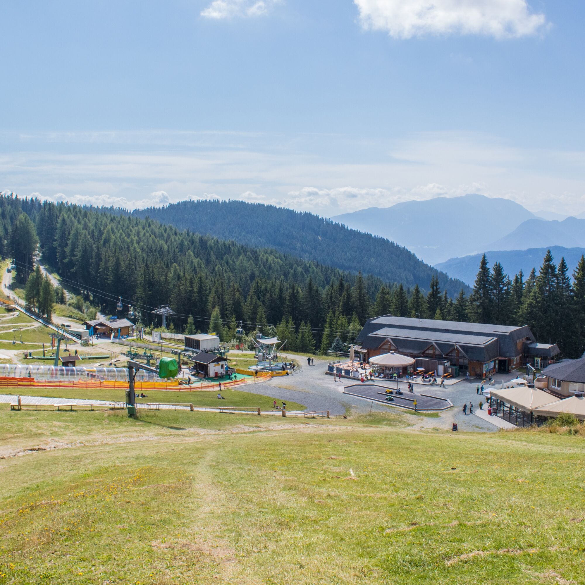

Starting from the Kanzelbahn mountain station, follow either the paved road or the parallel forest and meadow path to the Kanzelhöhe, where you join the Kanzelhöhenpromenade (trail no. 176). On the right-hand side, after a few minutes' walk, you reach the old mountain station of the Kanzelbahn. The paved road turns into a charmingly designed gravel path, along which information on the regional flora and fauna is provided at the edge of the path. A few minutes' walk after the last display panel, you reach the highest point of the circuit with the Waldtratte. Here you cross the piste and reach a large parking lot. From here, you continue downhill along the paved road through a short tunnel (caution!) to a left bend. Here, turn sharply left towards the reservoir pond (trail no. 31) and return to the starting point at the Kanzelbahn mountain station.
Tak
Tak
Light hiking shoes with profiled soles, backpack, rainwear, hiking poles, food and drink, maps, first aid kit, mobile phone
The circular route is basically suitable for strollers. However, strollers with slightly larger wheels are advantageous, as both paved and gravel paths are used.
Annenheim is best reached via the A10 exit "Villach-Ossiacher See." From there, take the Gerlitzen Kanzelbahn up to the summit.
Annenheim is accessible at regular intervals by public transport.
There are sufficient parking spaces in the valley area.
Region Villach Tourism
+43 4242 42000
www.visitvillach.at


Kamery internetowe z trasy
-
Gerlitzen Gipfel
-
Gerlitzen Gipfel
-
Gerlitzen Gipfel
-
Gerlitzen Gipfel
-
Annenheim/Ossiacher See
-
Gerlitzen Gipfel
-
Bergstation Pöllingerbahn 1.660m (250hm/ca. 45min leicht wanderbar zum Gipfel)
-
Gerlitzen Mittelstation Kanzelhöhe
-
Gerlitzen Mittelstation Kanzelhöhe
-
Gerlitzen Mittelstation Kanzelhöhe
-
Gerlitzen Mittelstation Kanzelhöhe
-
Gerlitzen - Klösterle Obere Sektion
-
Kinderland Kanzelbahn (1.440m)
-
Ossiacherberg
-
Neugarten Talstation 8er-Carving-Jet
-
Bodensdorf am Ossiacher See
-
Bodensdorf am Ossiacher See
Uzyskaj wgląd
Zawsze na żywo z ponad 9 500 kamer internetowych. bergfex Jako użytkownik Pro, możesz teraz zobaczyć odpowiednie kamery internetowe dla wielu wycieczek w aplikacji wycieczki od. Pozwala to na bezpośredni podgląd aktualnych warunków.

Popularne wycieczki w okolicy
-
4,7
4 Huts route
średniWędrówka 8,96 km -
4,5
Hoher Gallin route
średniWędrówka 7,09 km -
5,0
Amberg: Palnock 1901m, Schwarzsee, Rundstrecke
średniWędrówka 7,94 km -
4,4
Lake circular trail
światłoNordic Walking 9,85 km -
4,4
Finsterbach Waterfalls - Circular route
średniWędrówka 3,87 km -
4,2
Schwarzsee circular hiking trail
średniWędrówka 7,79 km -
4,1
Slow Trail Bleistätter Moor (Variant A)
światłoWędrówka 7,22 km -
4,9
Skitour: FIS K70, Auf Franz Klammers Spuren
średniWycieczka narciarska 11,3 km -
4,0
Lake Ossiacher See cycle path – R2 & R2A
średniJazda na rowerze 28,2 km -
4,2
Gerlitzen - Hüttersteig
ciężkiWędrówka 6,80 km
Wędrówki i tropienie


Nie przegap ofert i inspiracji na następne wakacje
Twój adres e-mail została dodana do listy mailingowej.





