



Wörthersee circular hiking route stage Klagenfurt - Pörtschach

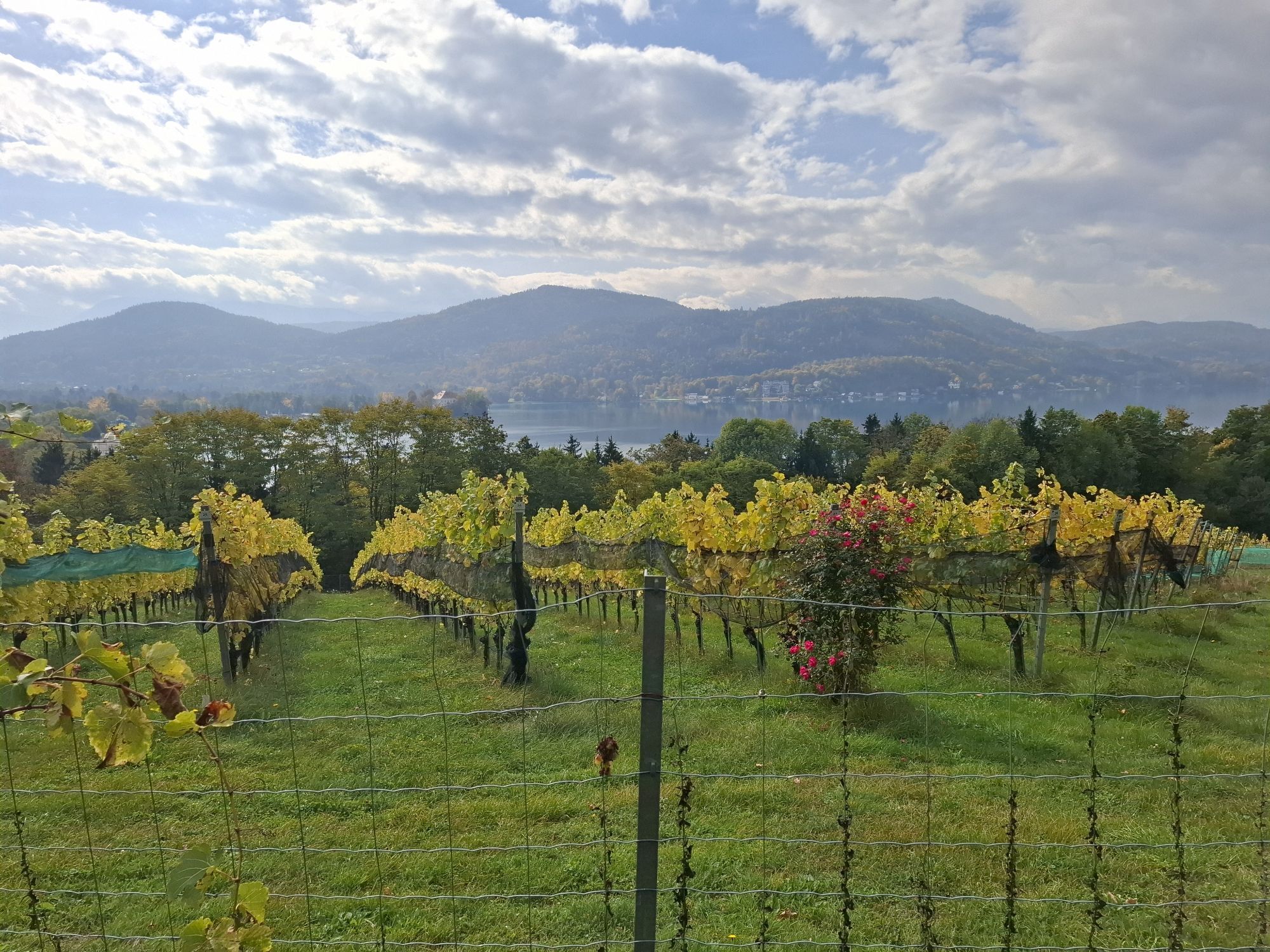
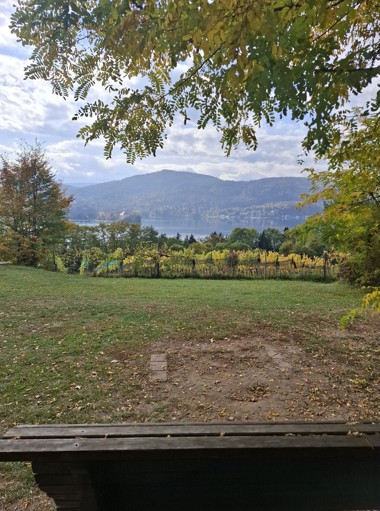





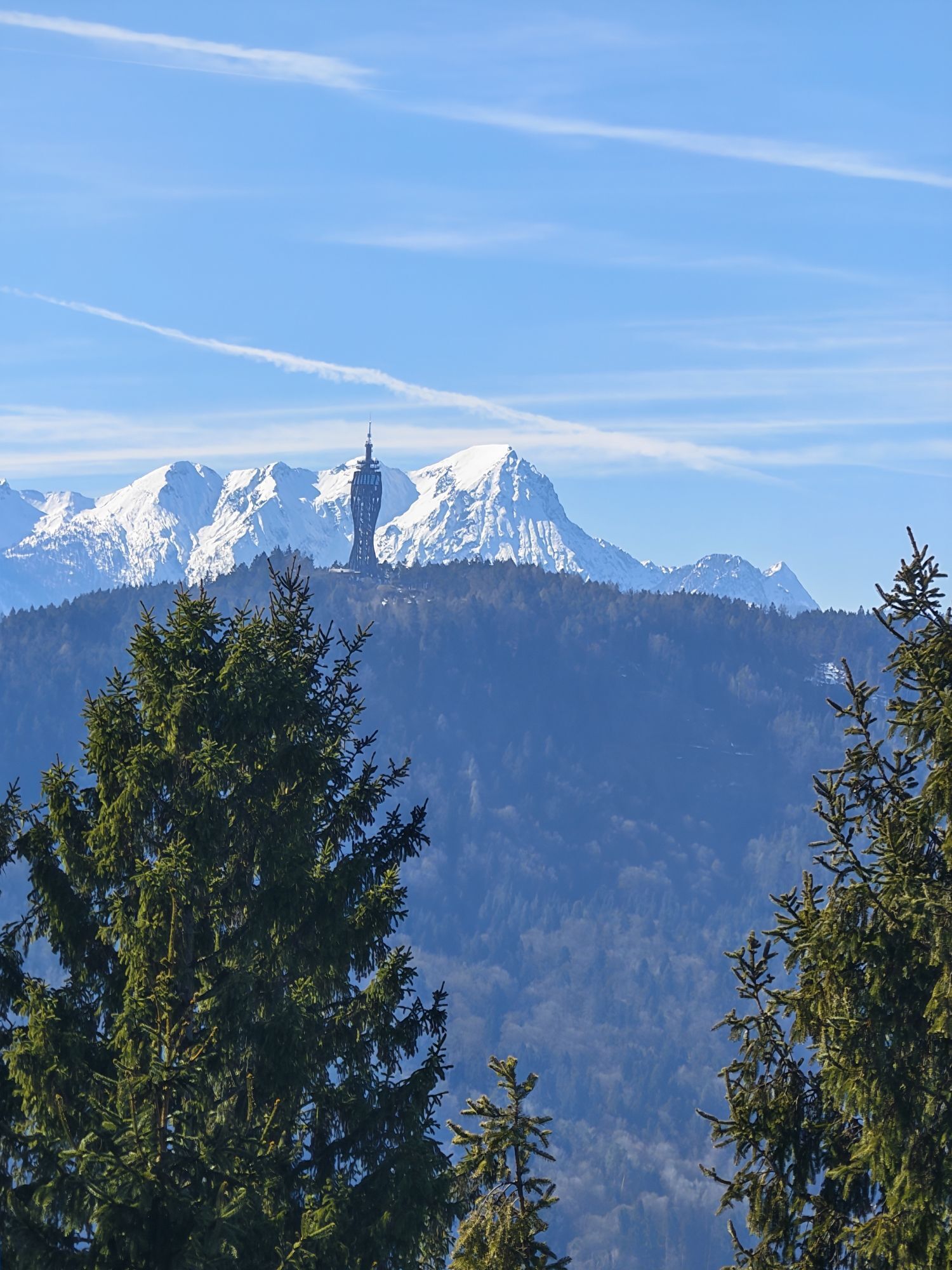
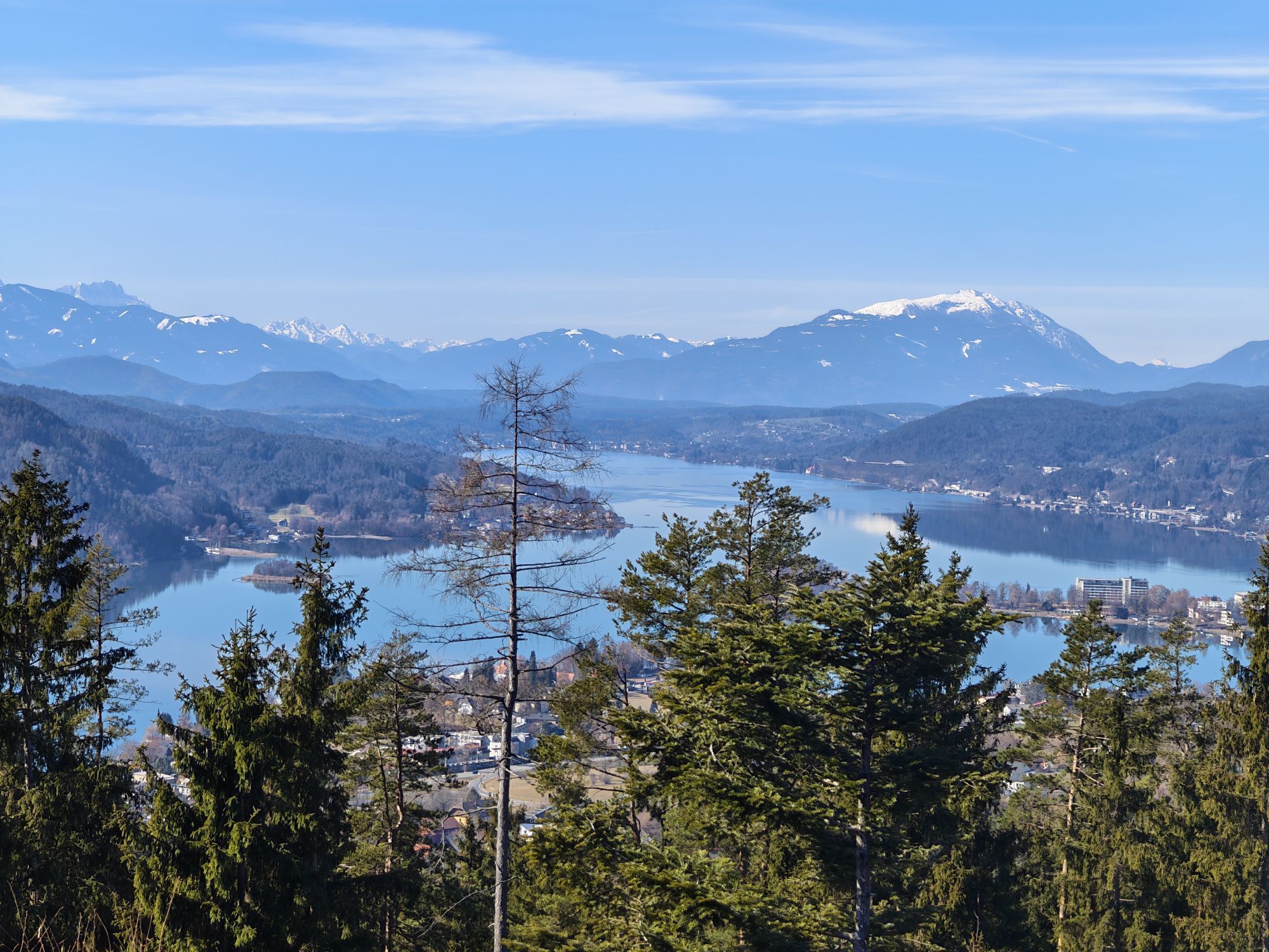
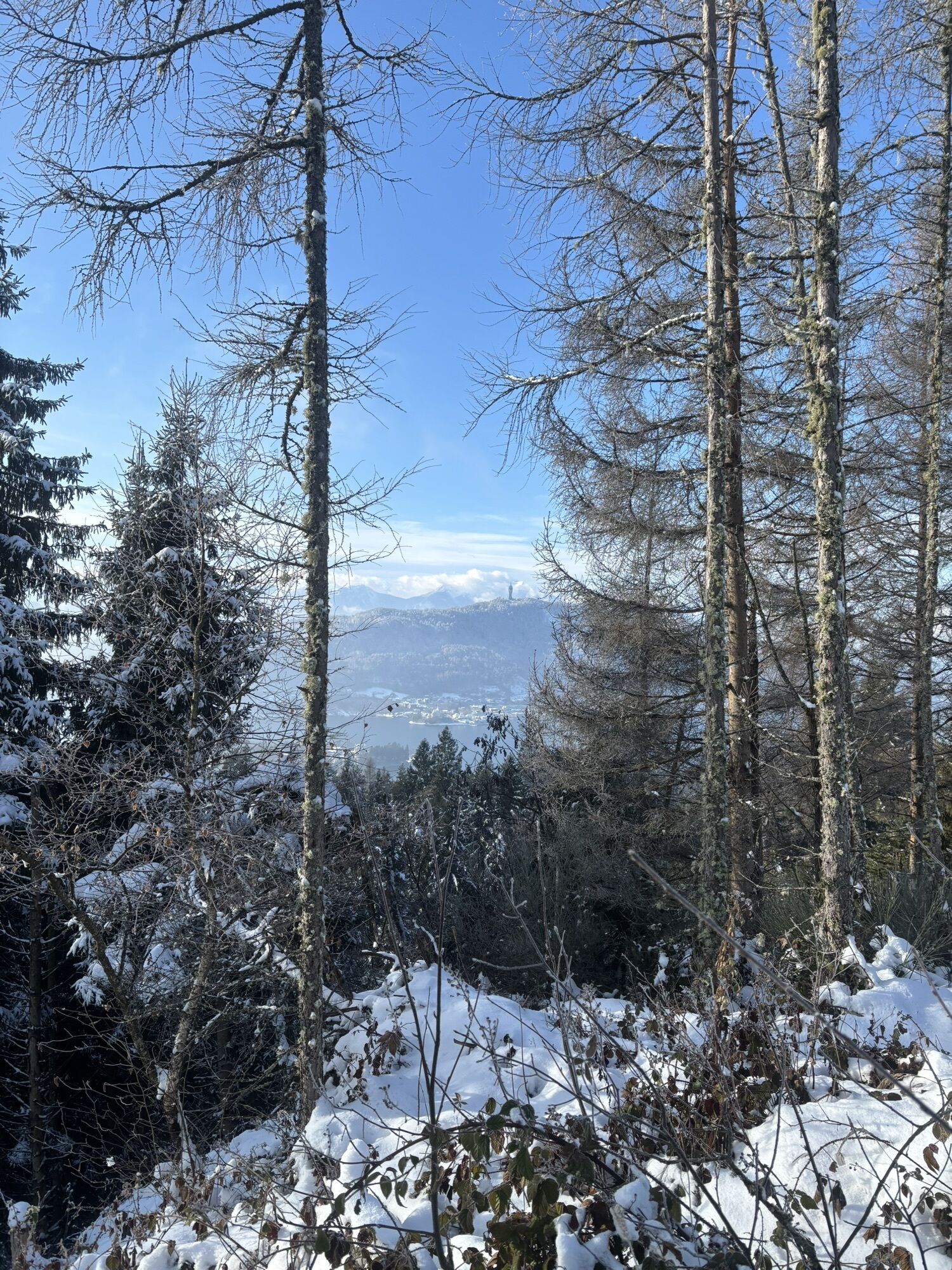

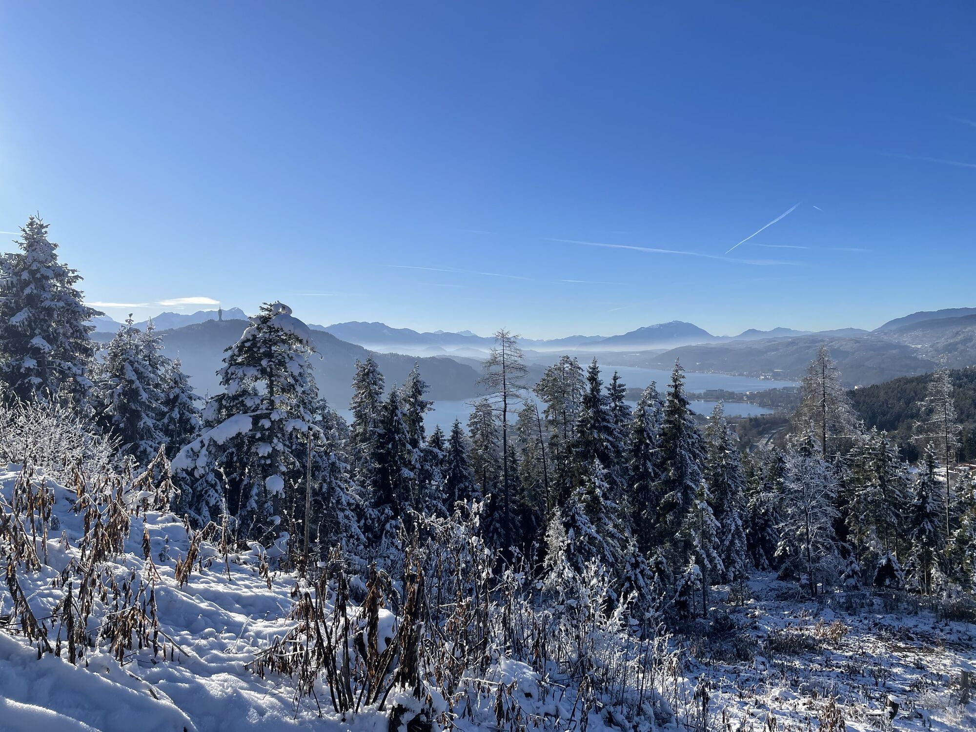
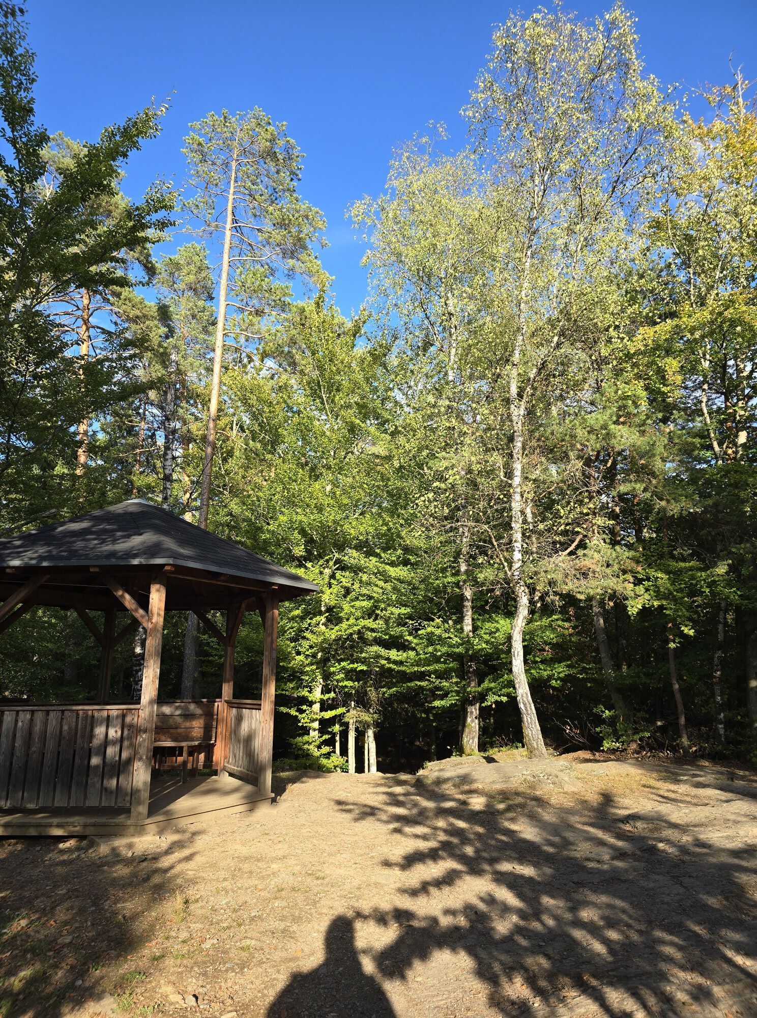
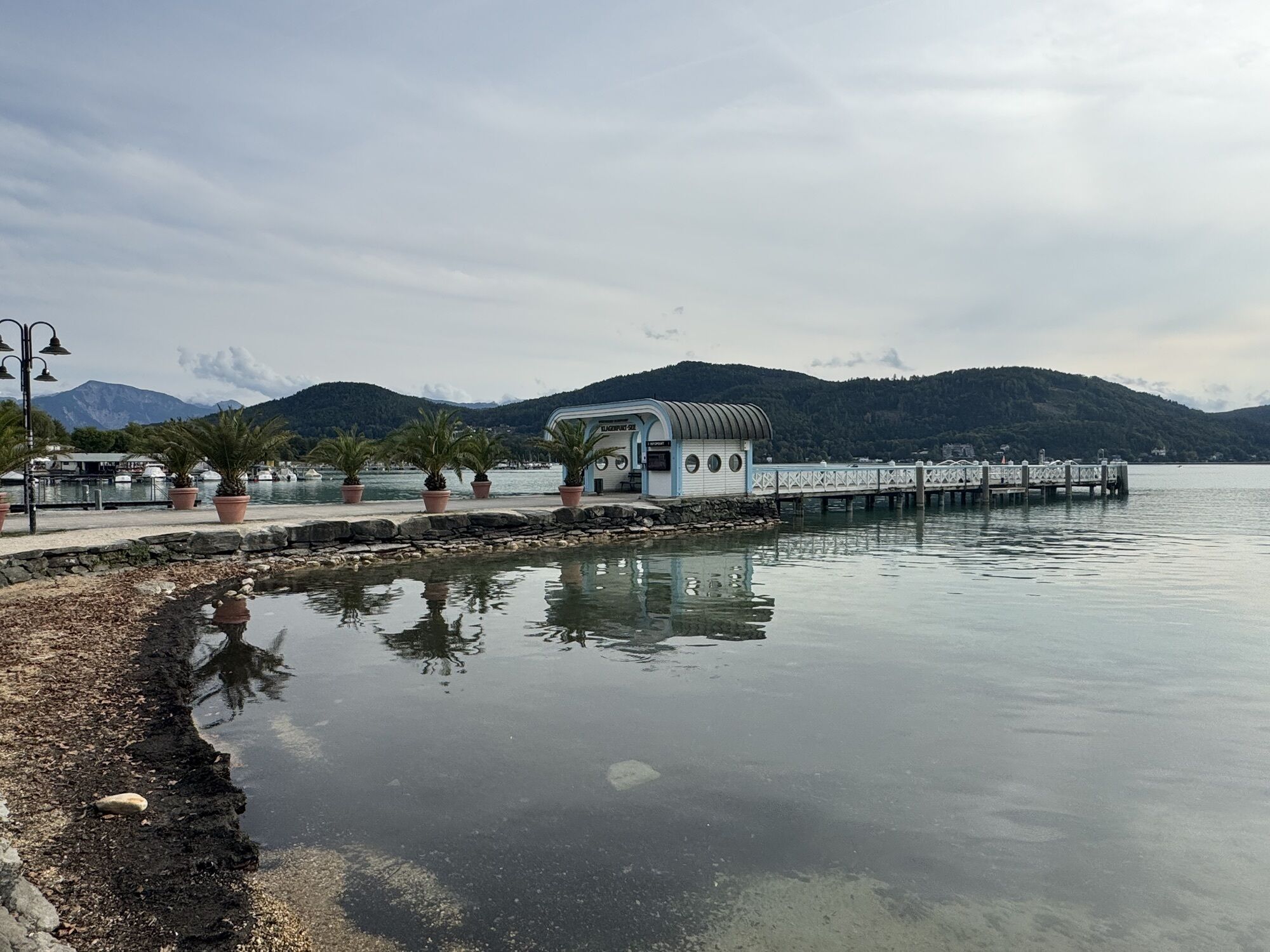


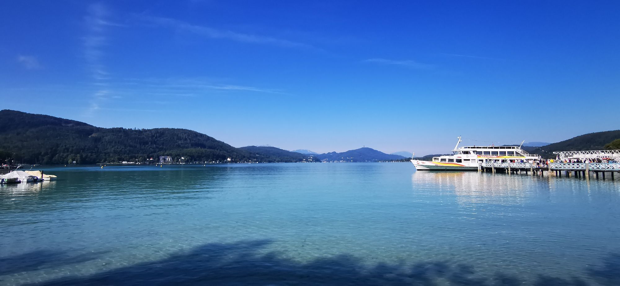
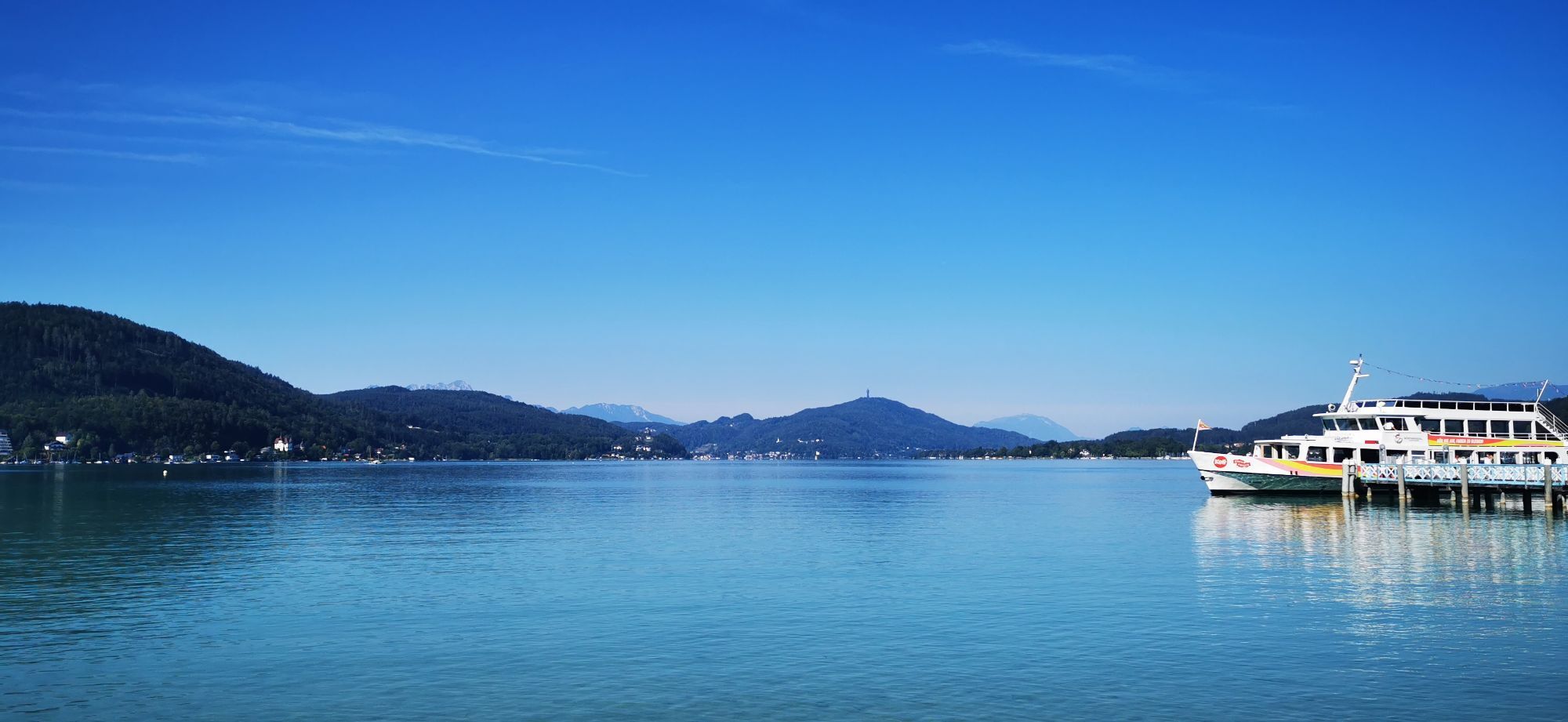
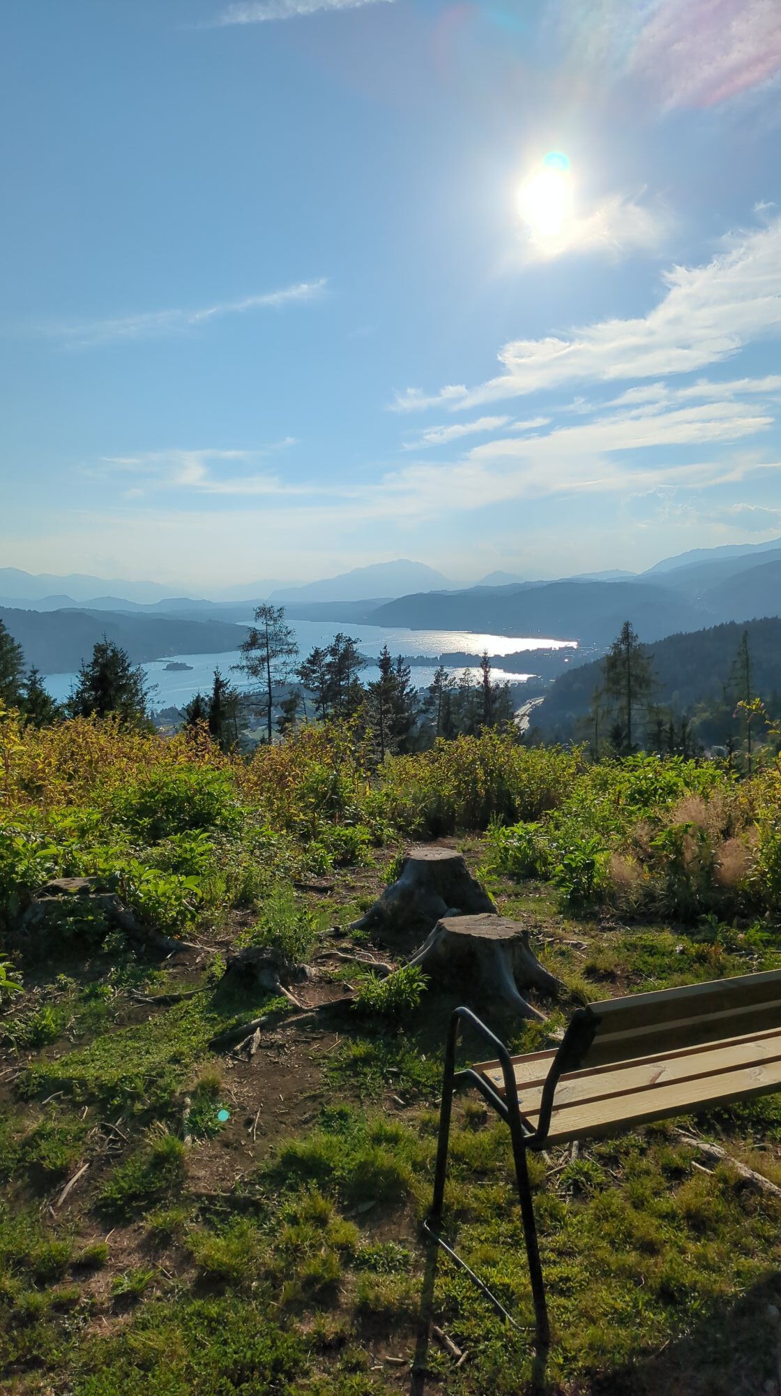

On the way from the east bay up to the Zillhöhe, you pass the vineyard of the city of Klagenfurt – a wonderful tribute to the warm climate of the region, with an even more wonderful view of the Karawanken...
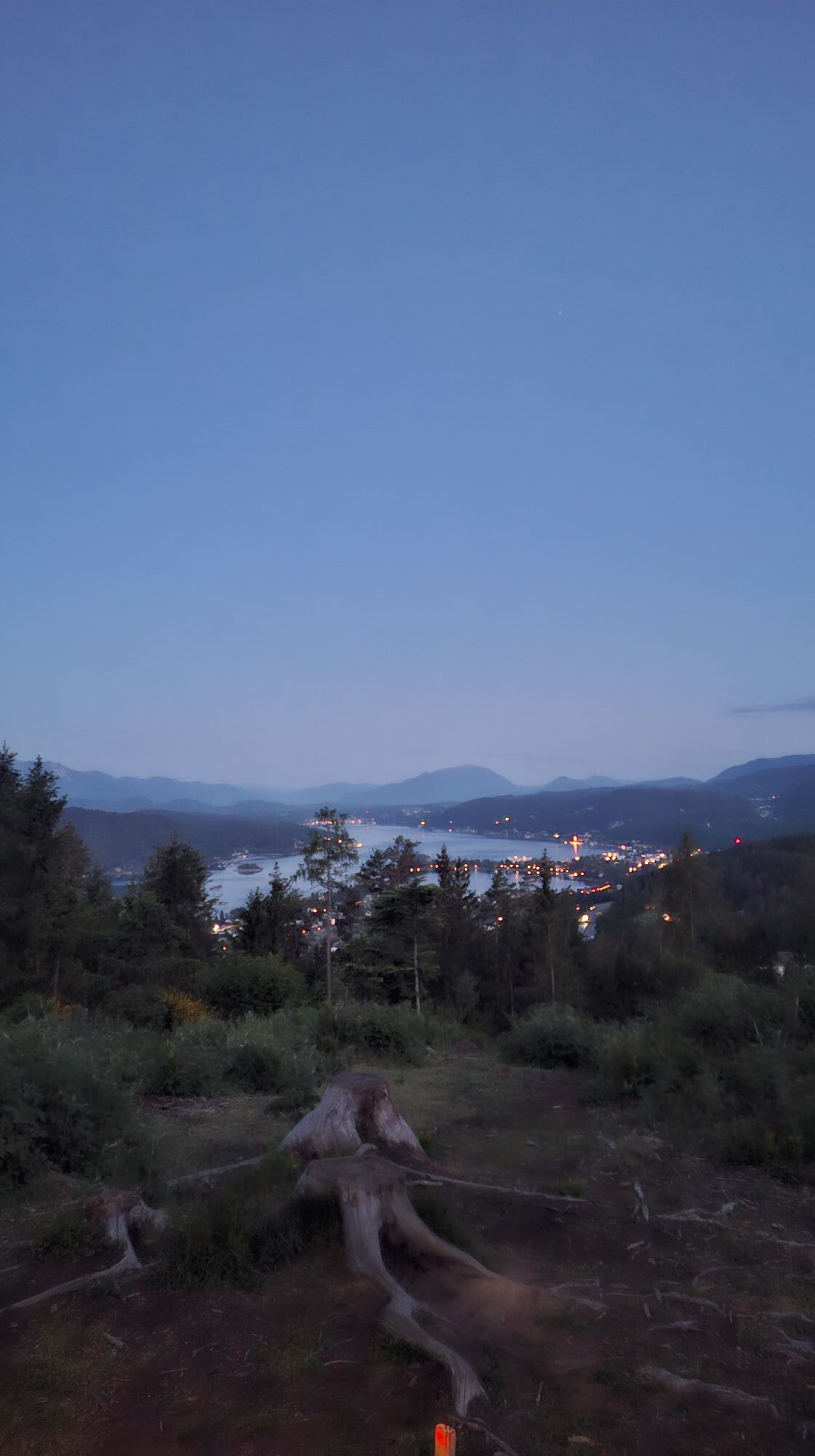
On the way from the east bay up to the Zillhöhe, you pass the vineyard of the city of Klagenfurt – a wonderful tribute to the warm climate of the region, with an even more wonderful view of the Karawanken on the southern border of Carinthia.
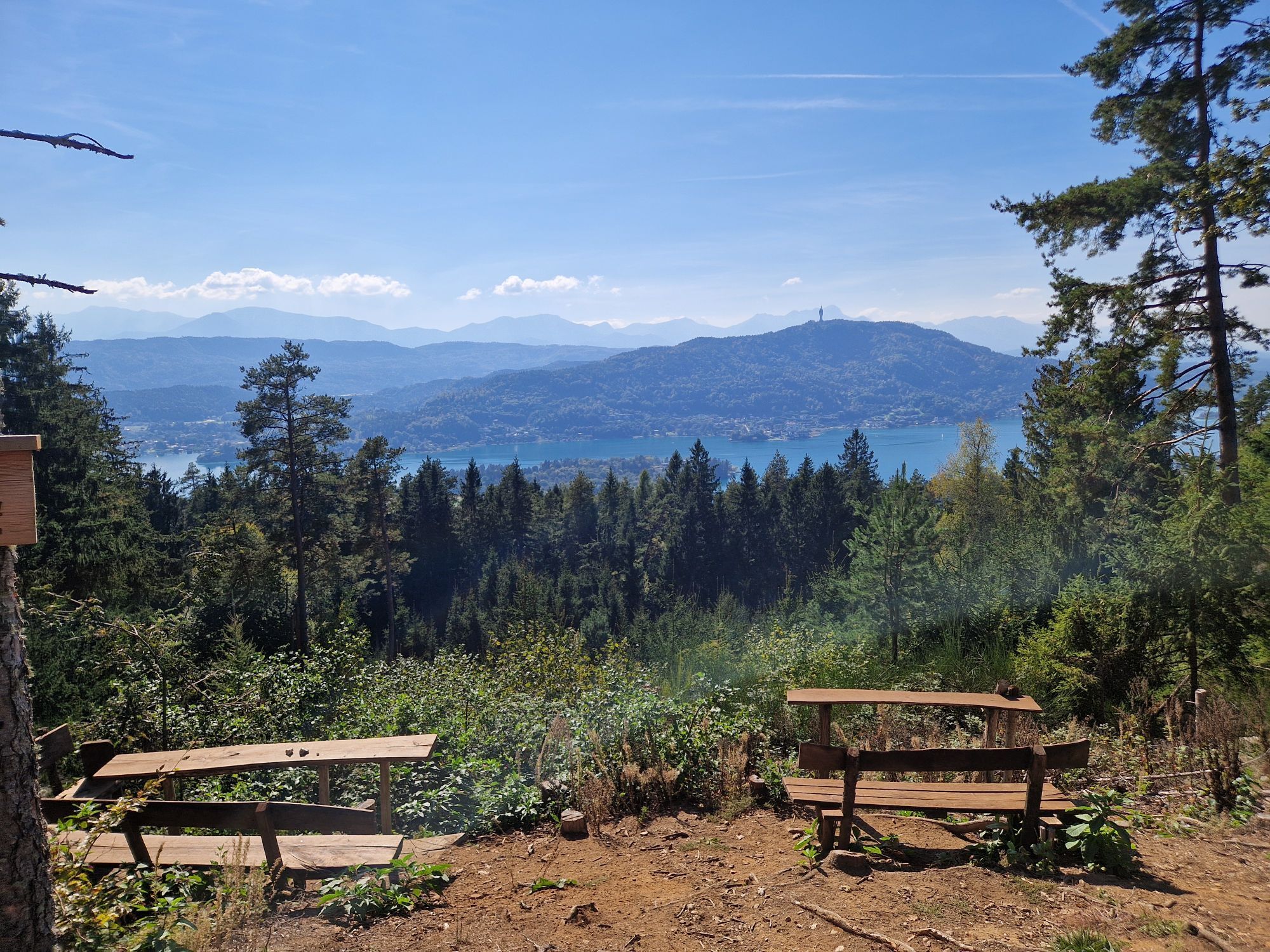
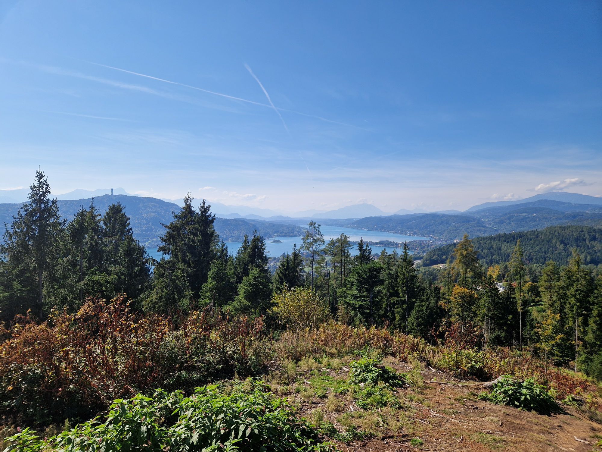
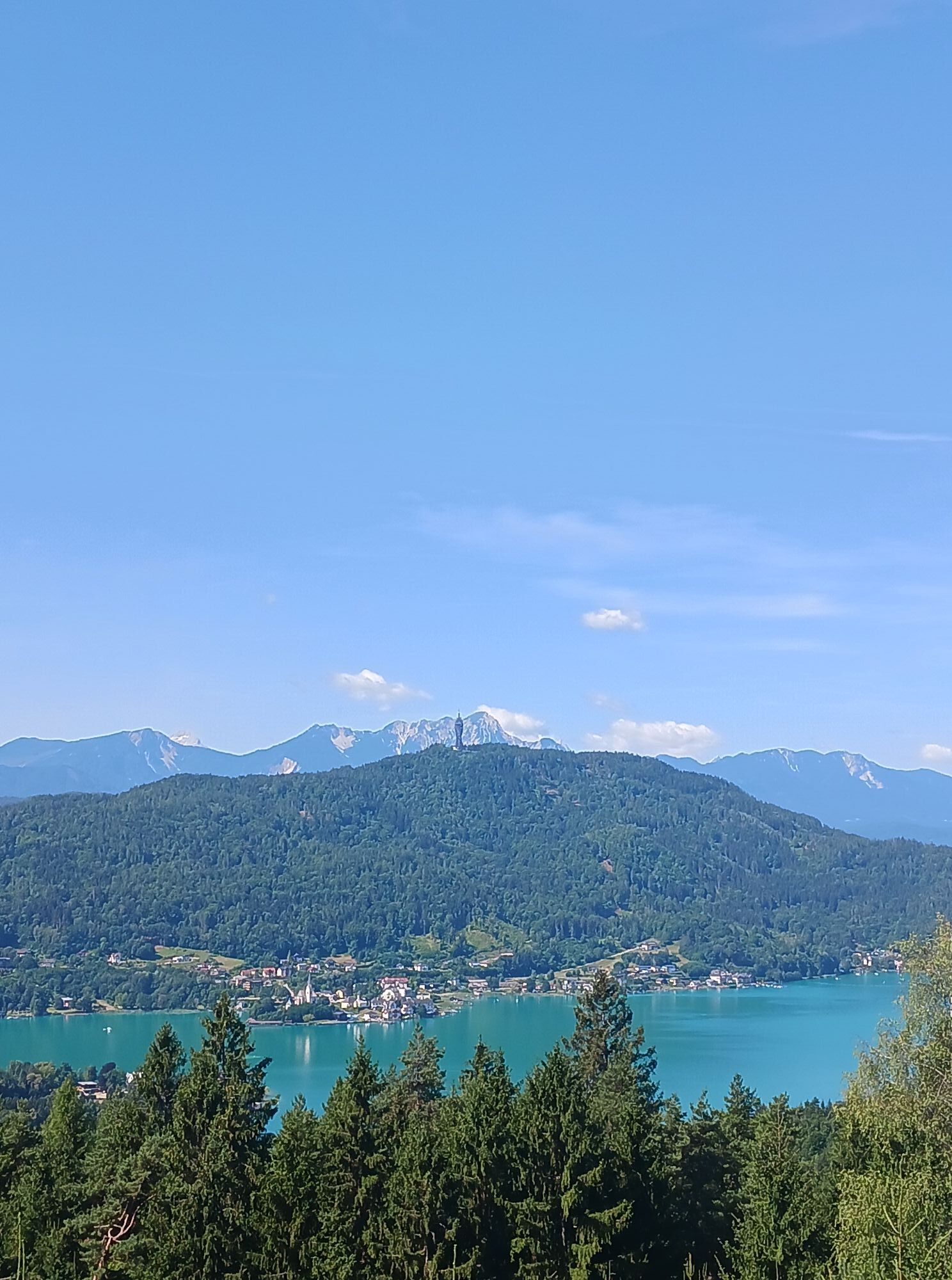
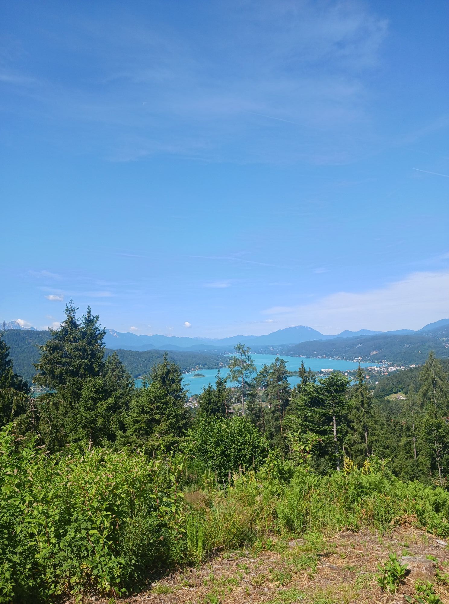
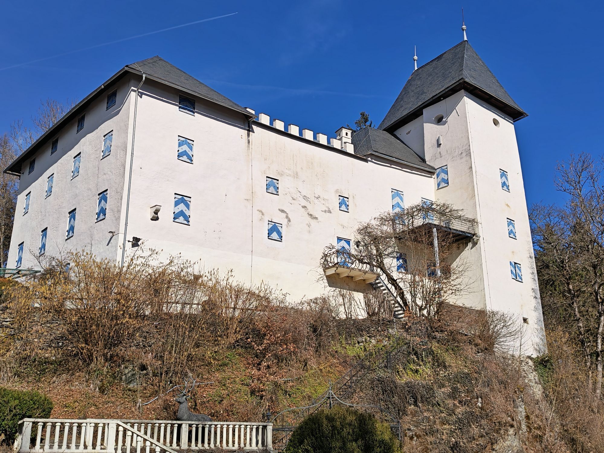
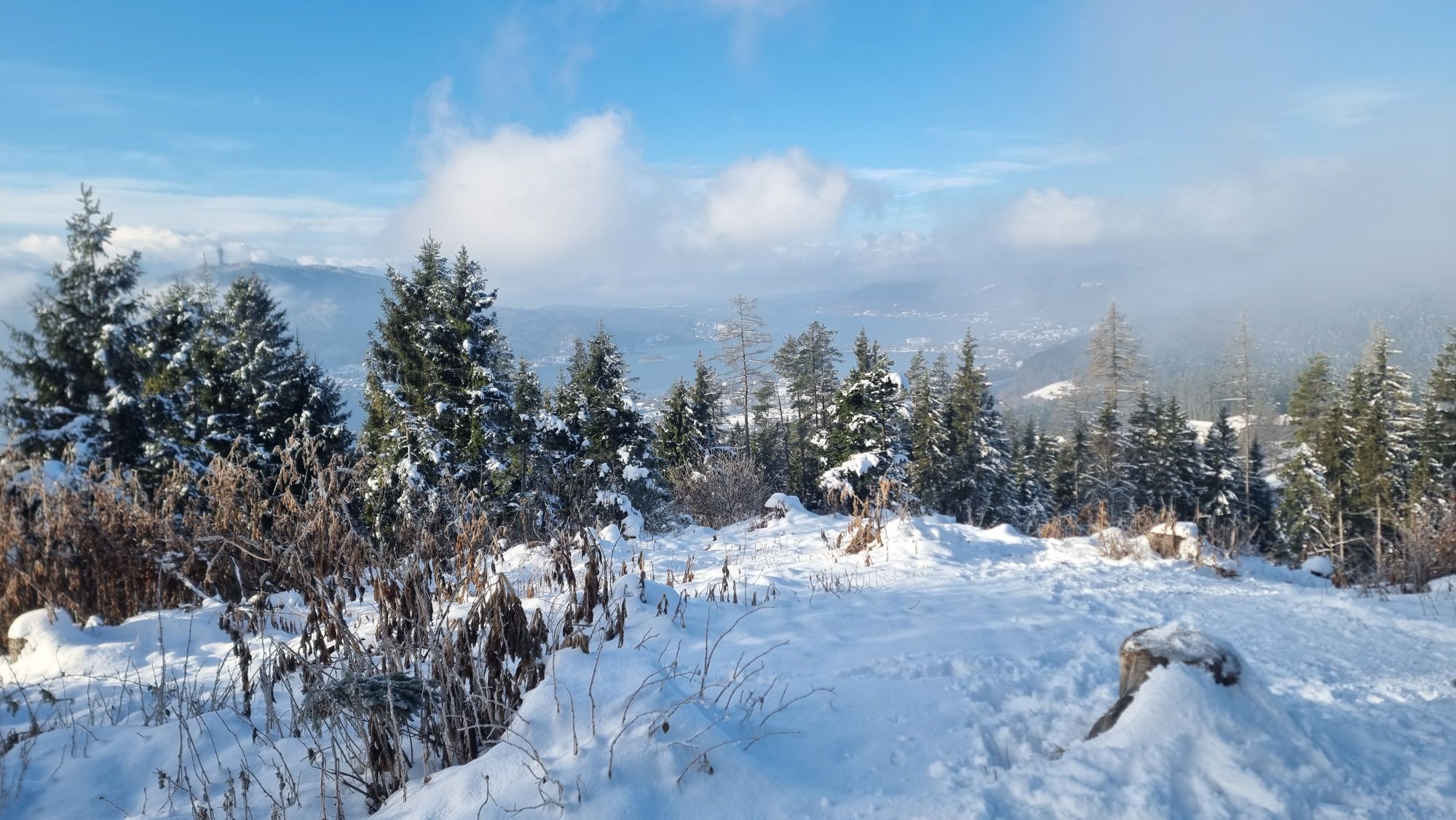
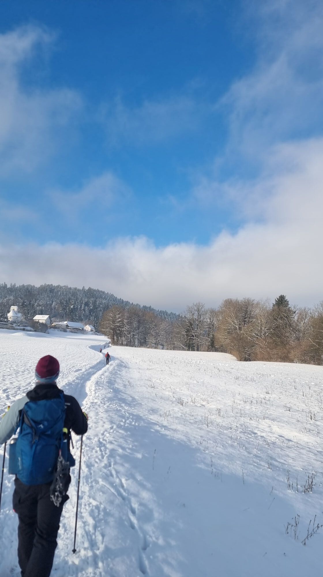
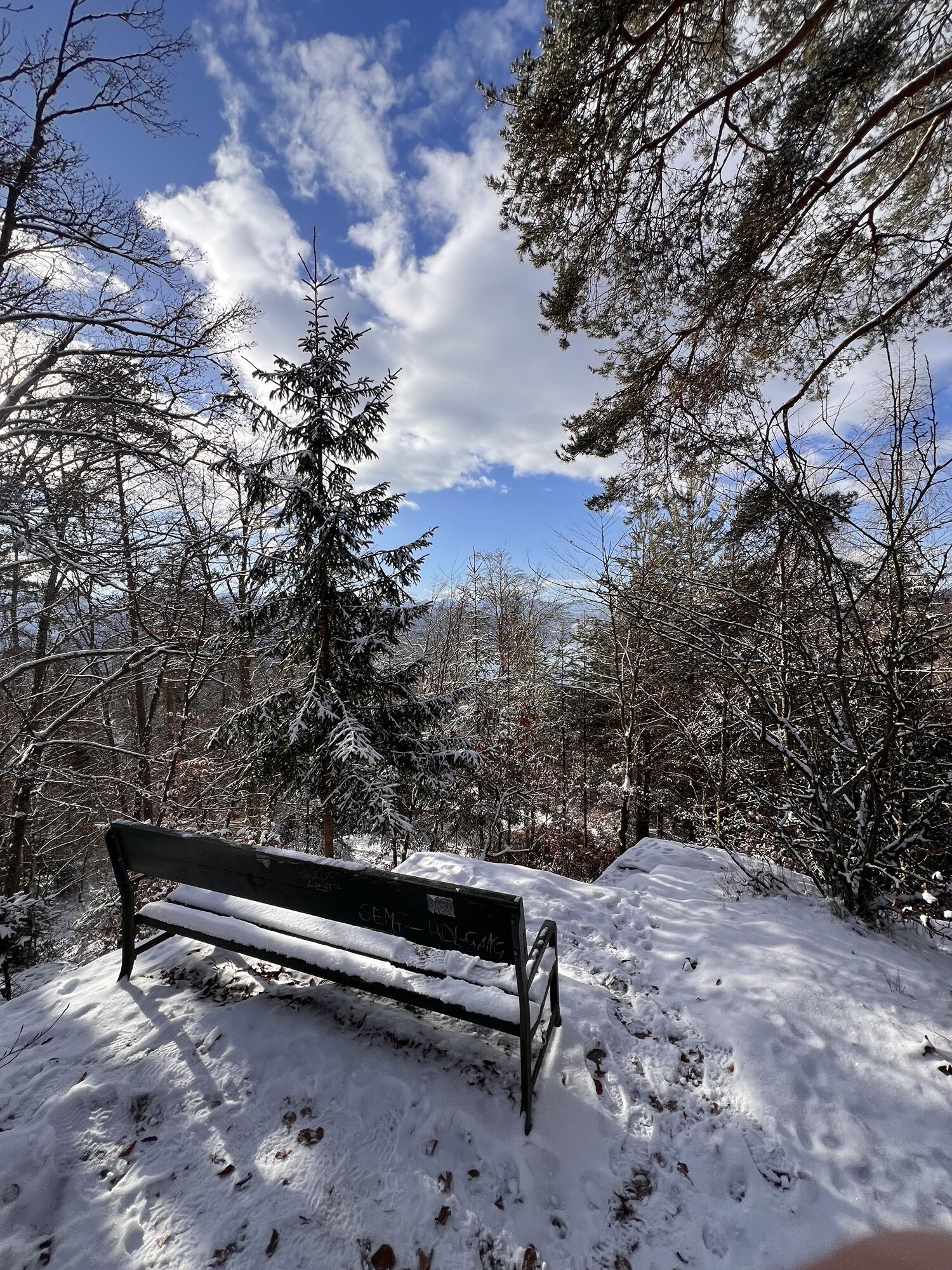
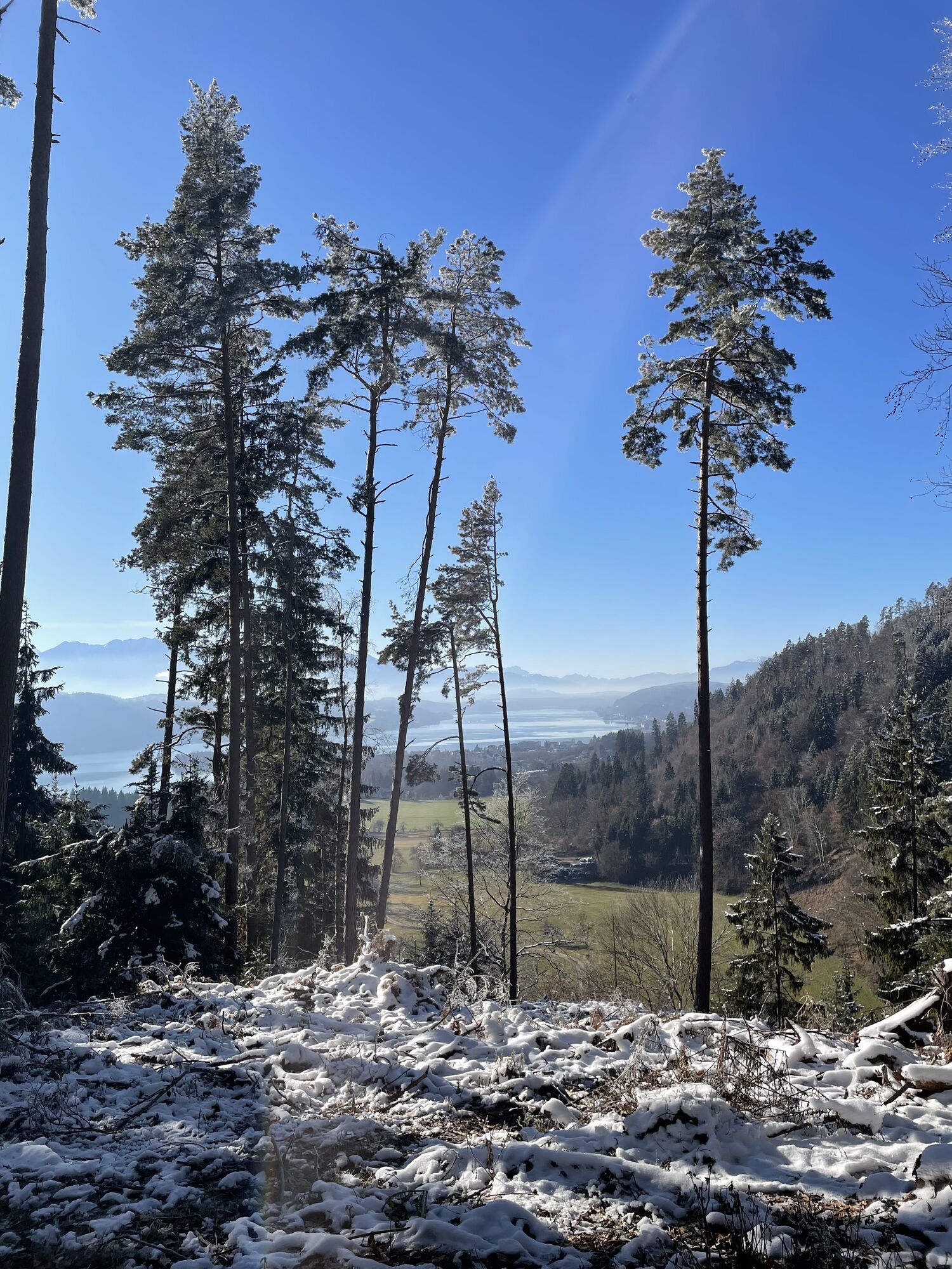
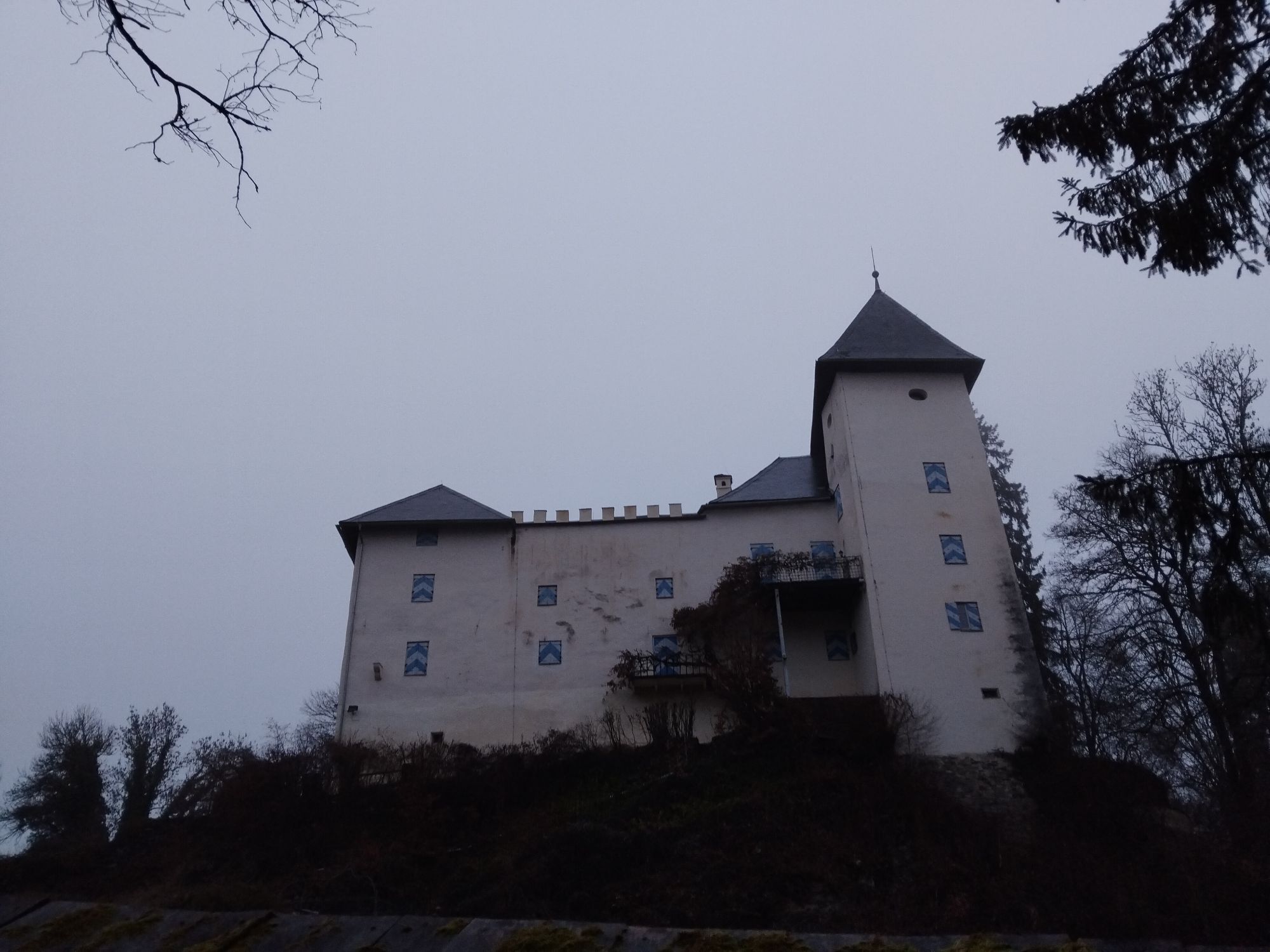
After crossing the southern motorway, a dense beech forest with its peaceful silence swallows the hikers again. The path leisurely rolls over the gentle hills up to Draßnitz Castle, a wonderful resting point. Here, as you descend towards Pirk, the landscape fundamentally opens up for the first time. The Wörthersee is out of sight, and suddenly green fields and the rugged but mostly well-visible peaks of the Hohe Tauern in the west dominate the view. The following ascent to Pirkerkogel is perhaps the most strenuous and steepest passage on the circular hiking route. One is rewarded for the effort at the viewpoint just after the summit. Here, you have an unrestricted view to the south, where the turquoise blue Wörthersee majestically sparkles in the sun in front of the mighty Karawanken.
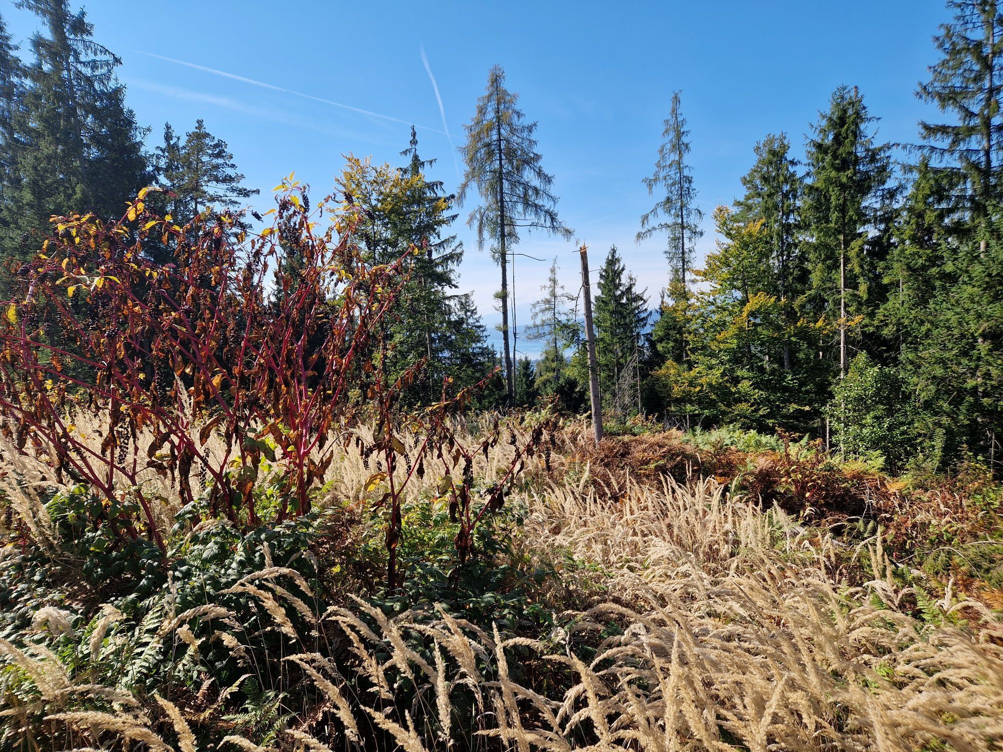
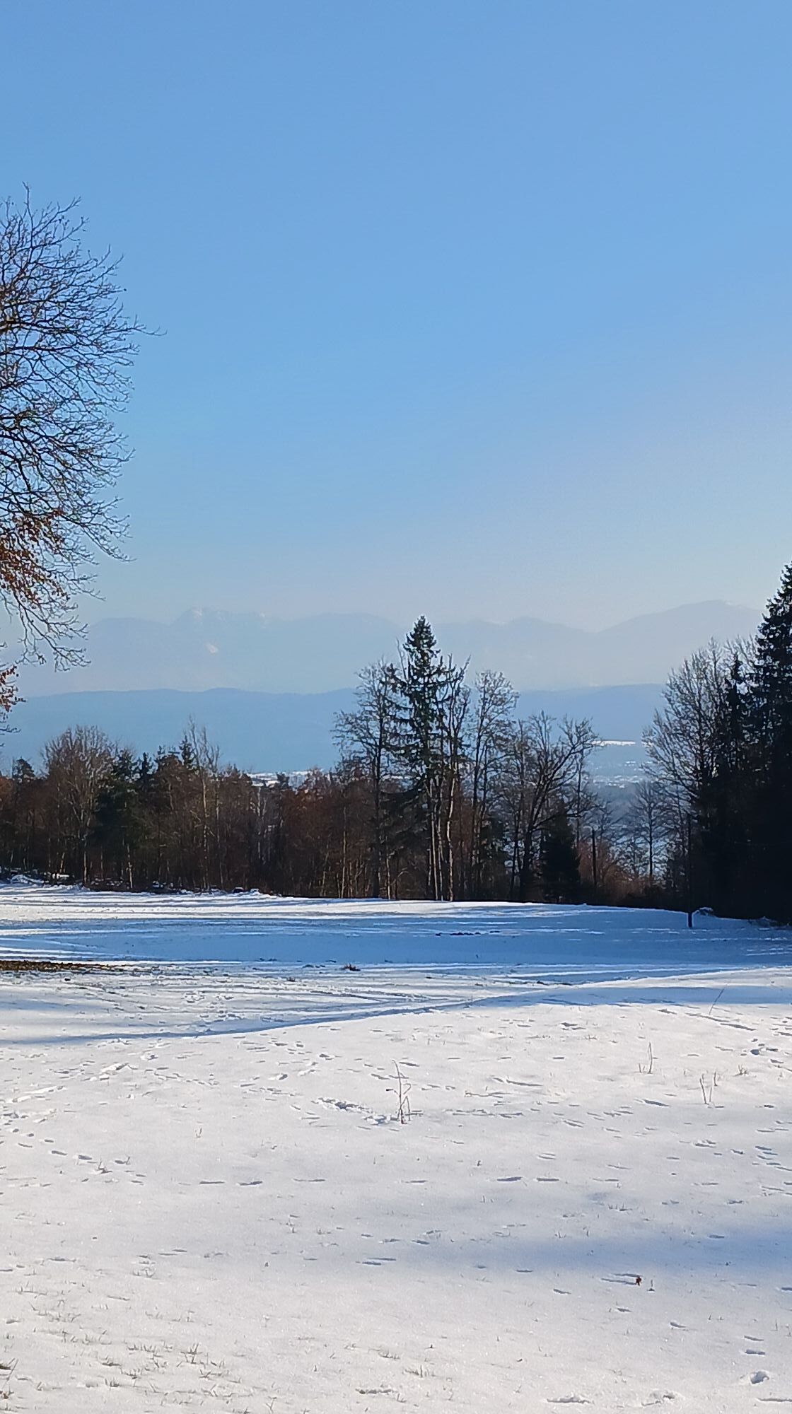
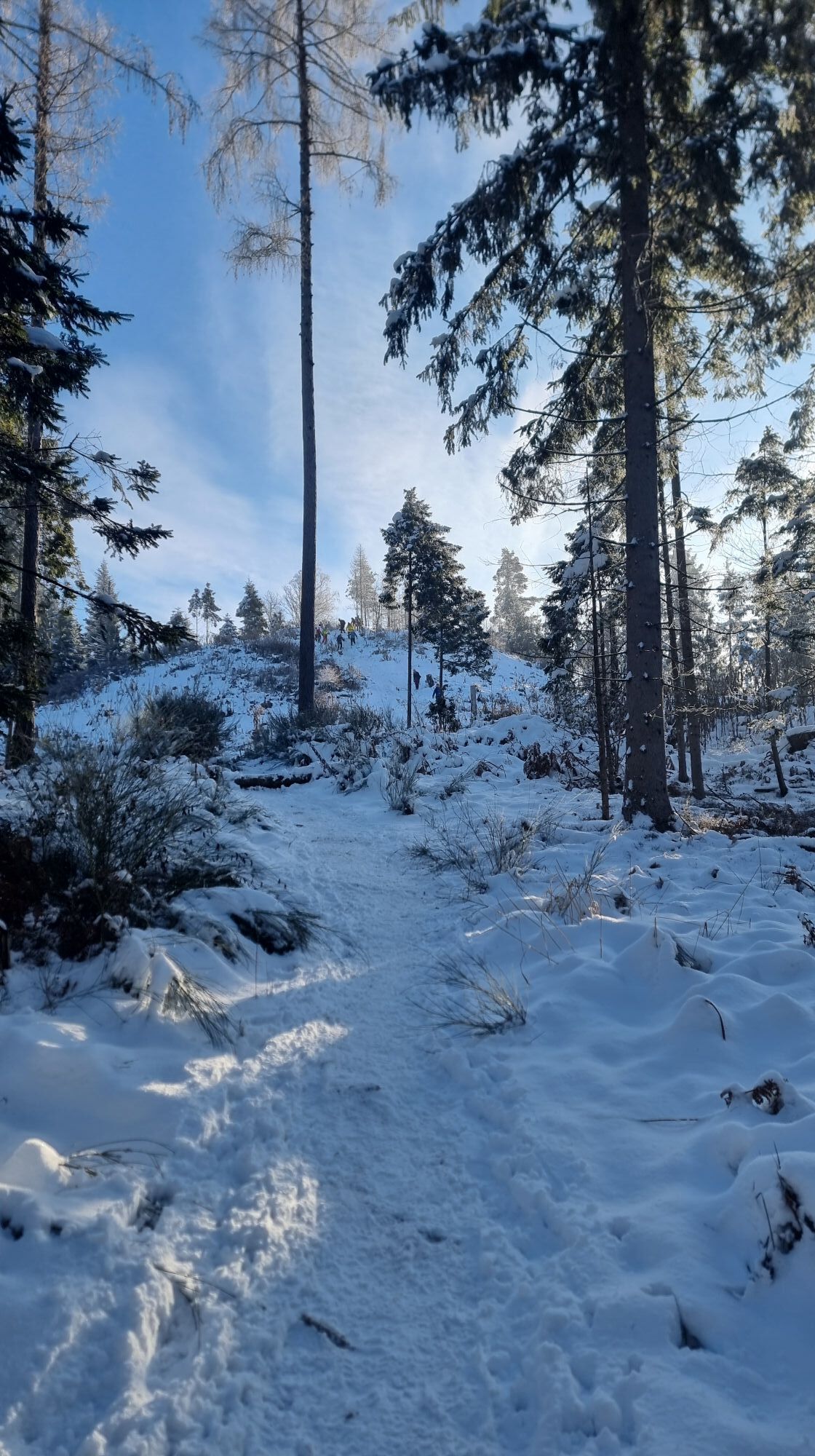
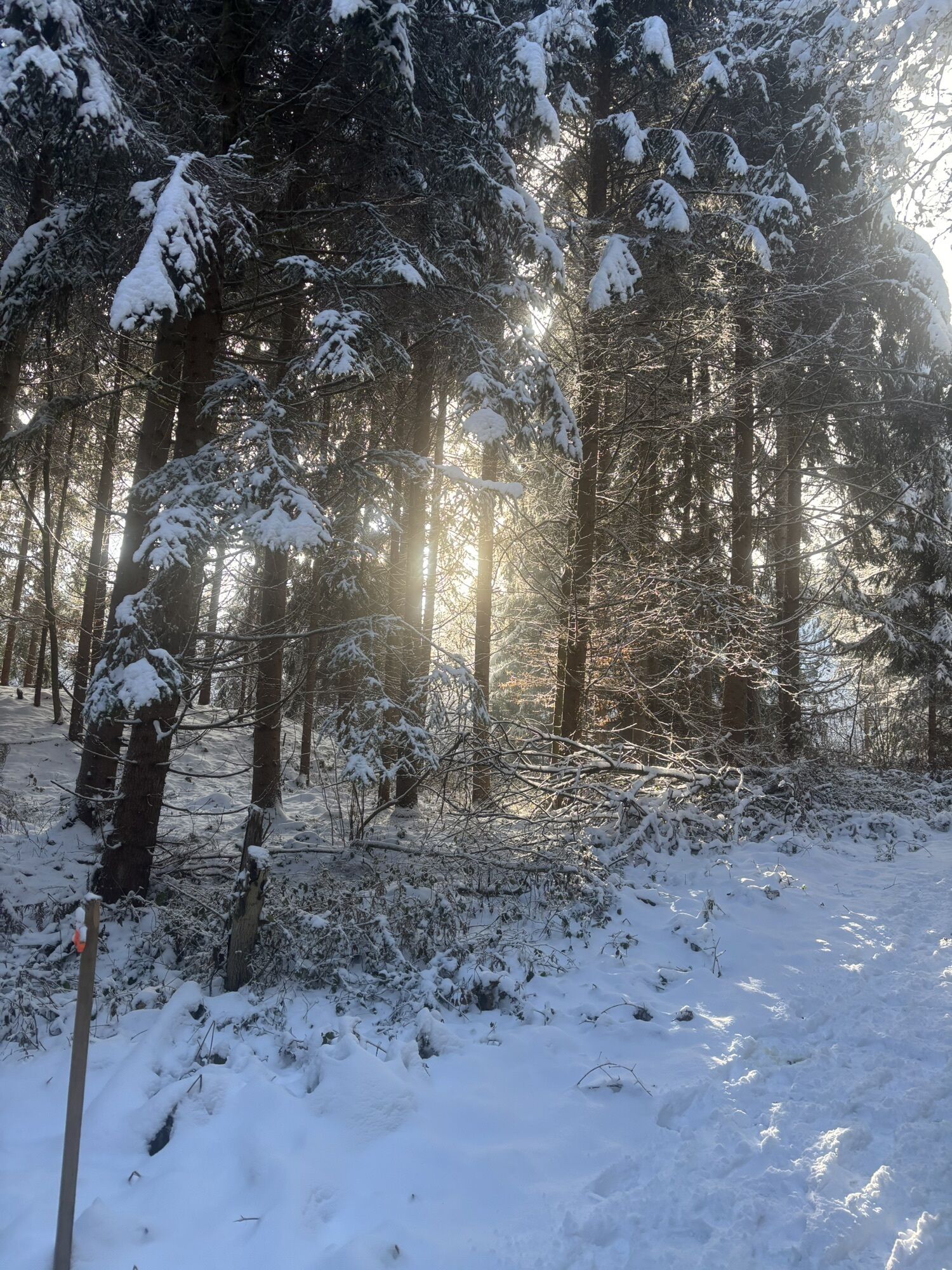
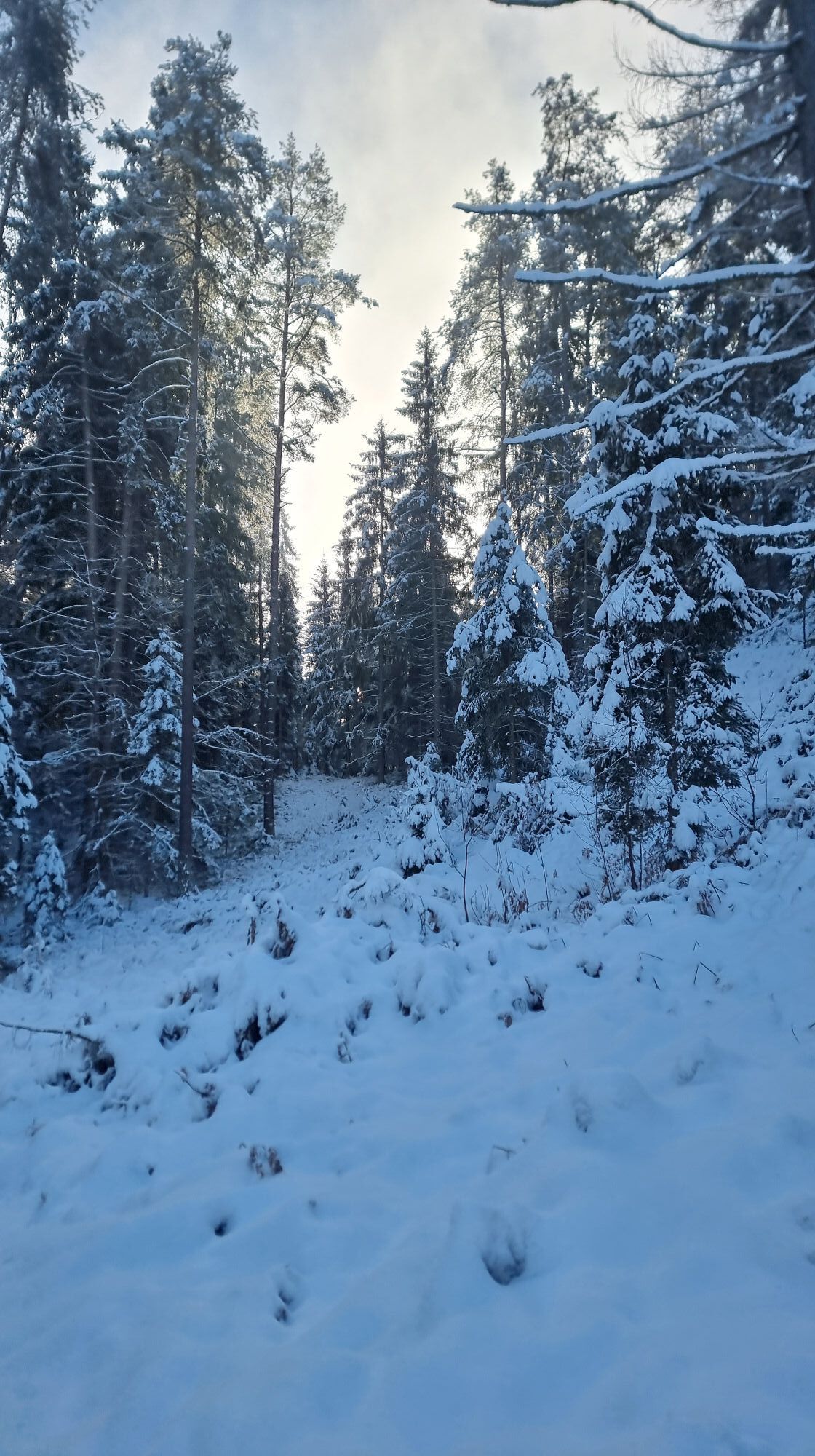
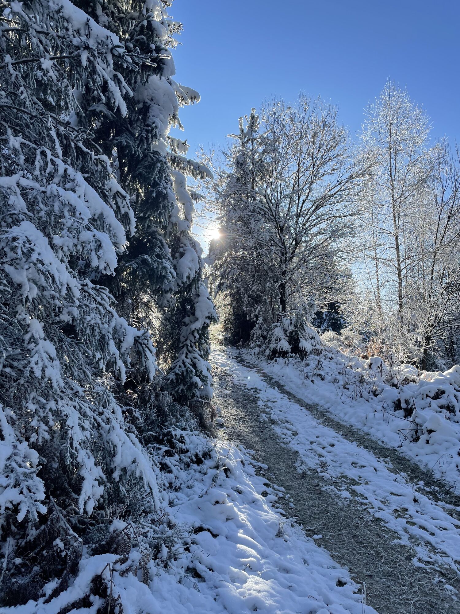
Afterwards, the hiking trail runs steadily on the south side of the ridge, where sun-flooded clearings alternate with green beech forests and dense coniferous forests.


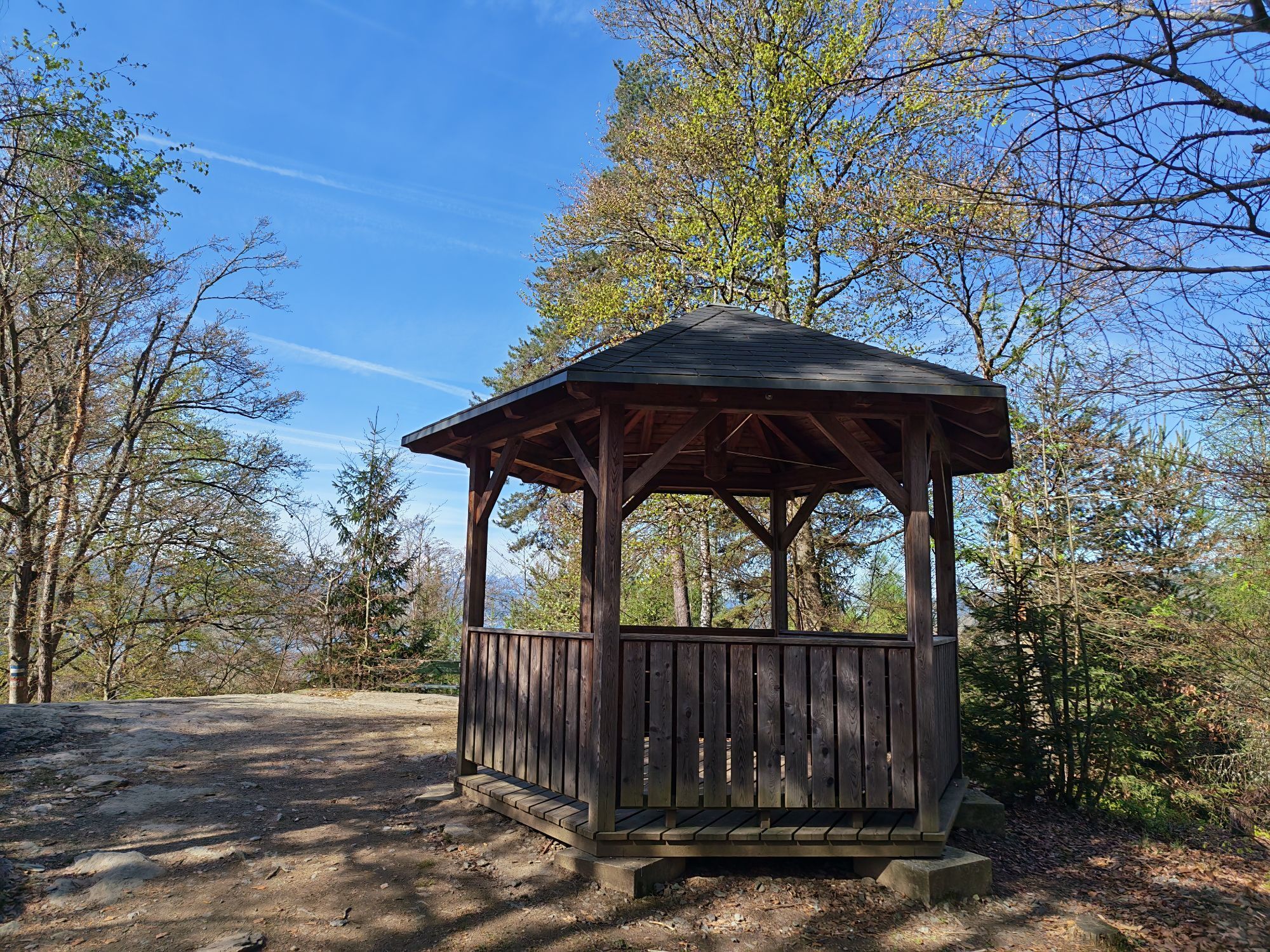
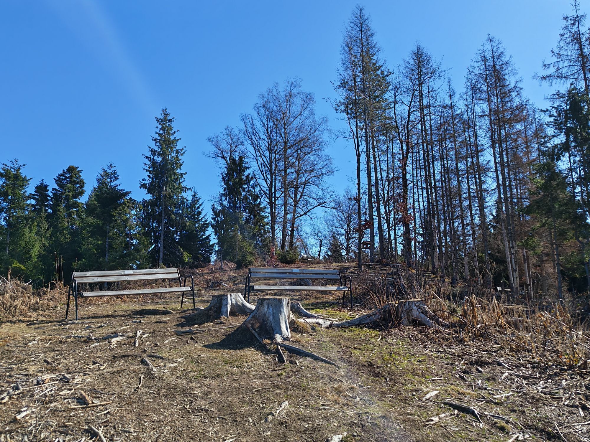
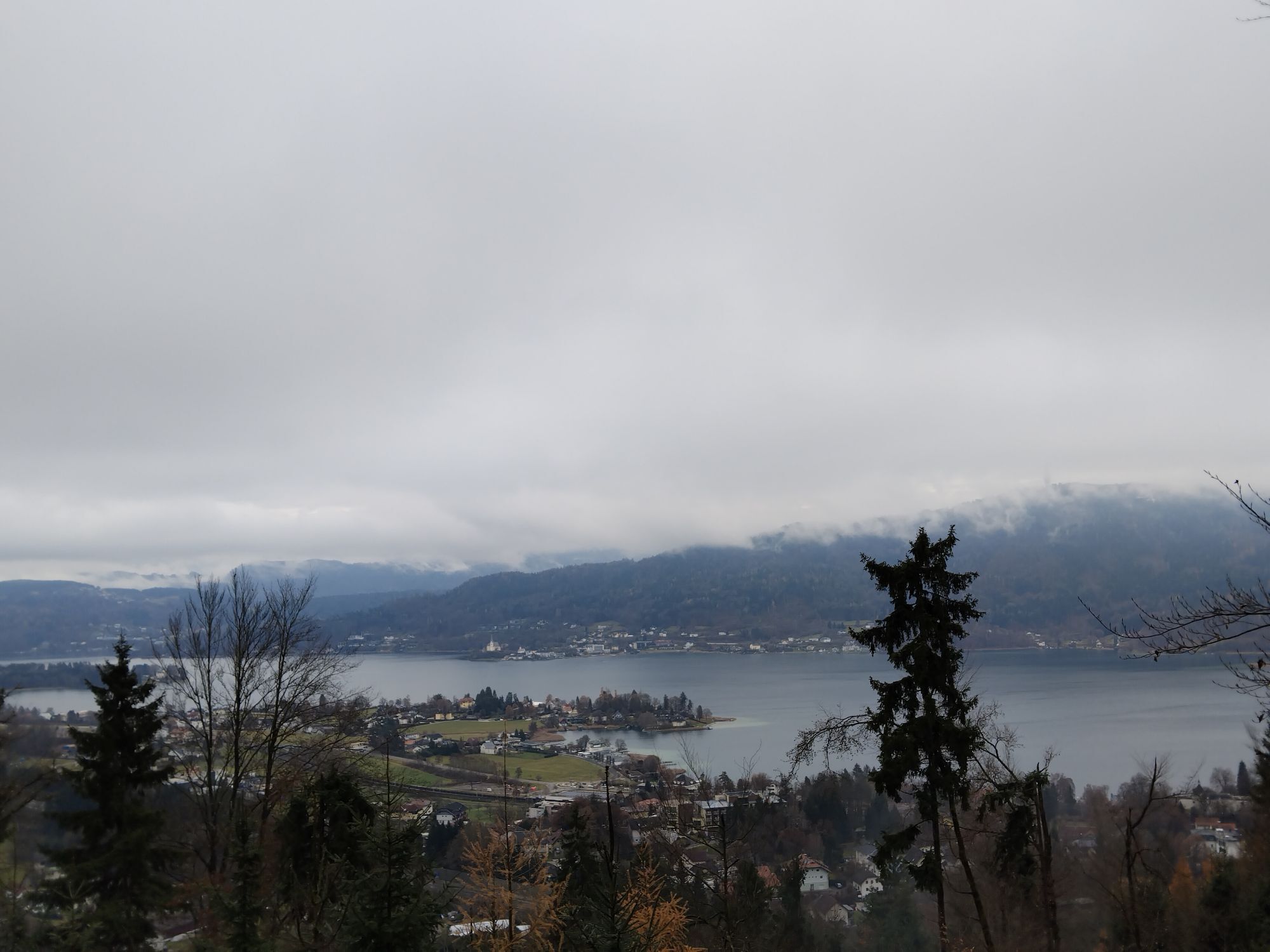
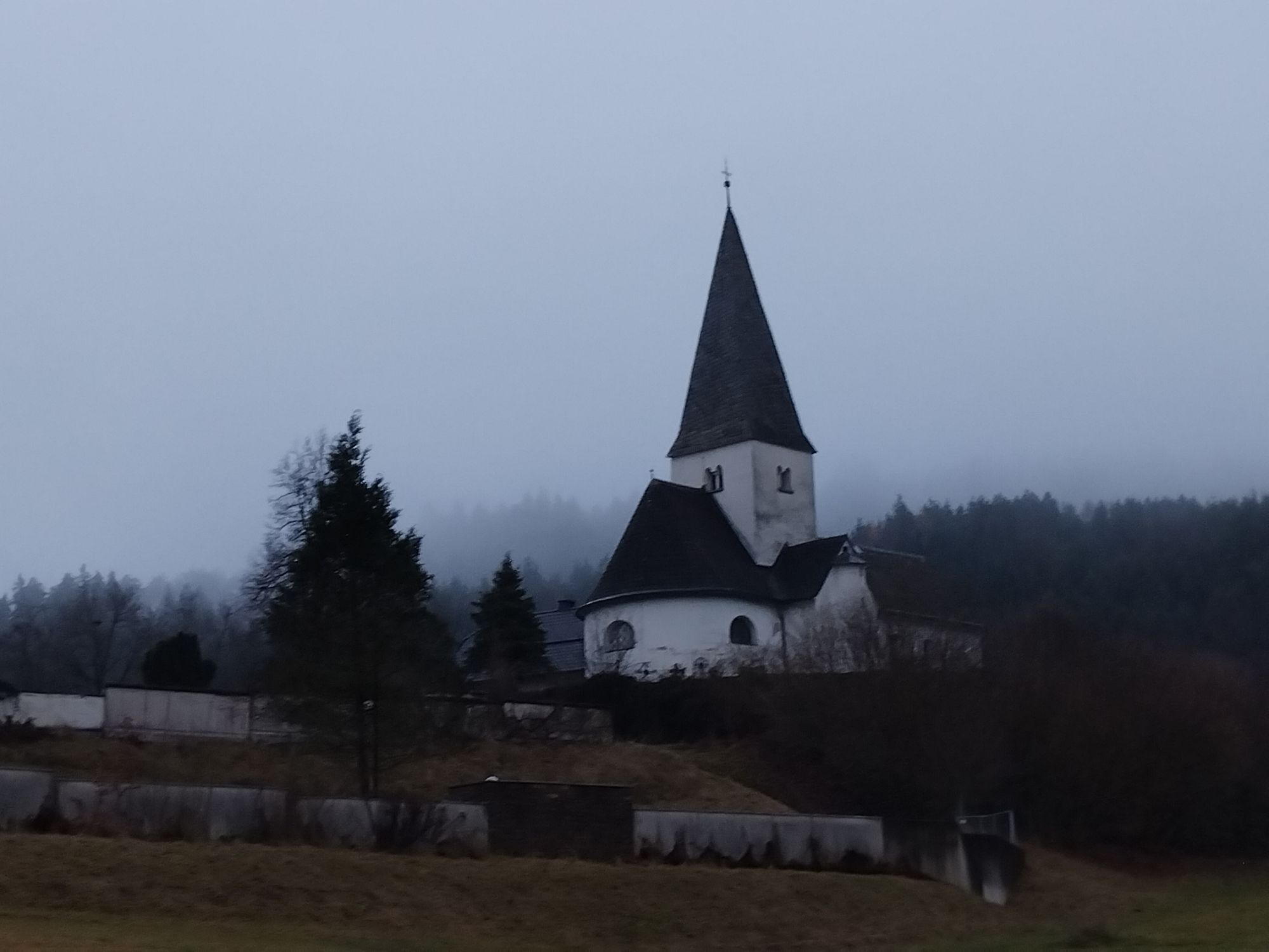
From the boat landing stage, the path goes below the railway and motorway to Freyenthurn Castle. You reach a beautiful viewpoint overlooking the vineyards towards the eastern shore of Wörthersee. Then you continue on path no. 7 to the Zillhöhe at 536 m. An idyllic resting place with a magnificent view. Then it goes on to Krumpendorf, past the natural monument glacial potholes, Hornstein Castle and Drasing Castle. After Pirk, you ascend to the highest point of the hike, the Pirker Kogel at 666 m. A short but steep ascent. At the Hoher Gaisrücken the path branches off to Pörtschach. Passing the Buschenschenke Brock, it goes below the motorway into the center. In Pörtschach, on the way to the boat landing stage, there are old villas in the Wörthersee architectural style.
Tak
On the A2 or B83 towards Klagenfurt. Motorway exit Wörthersee - Minimundus
Access possible by bus, train or boat
Plenty of parking spaces nearby

Kamery internetowe z trasy
-
Aussichtsturm Pyramidenkogel
-
Parkhotel Pörtschach
-
Hotel Schloss Seefels
-
Klagenfurt am Wörthersee / Neuer Platz
-
Klagenfurt am Wörthersee
-
Strandbad Klagenfurt
-
Schloss Loretto
-
Aussichtsturm Pyramidenkogel
-
Klagenfurt am Wörthersee - Domplatz
-
Jilly Beach
-
Pörtschach Süd
-
Klagenfurt Sternwarte
-
Strandbad Klagenfurt
-
Werzers Hotel Resort


Popularne wycieczki w okolicy
-
5,0
Wörthersee EXTREM
ciężkiWędrówka 60,1 km -
4,5
Hoher Gallin route
średniWędrówka 7,09 km -
4,5
Pyramidenkogel path Maria Wörth
średniWędrówka 10,8 km -
4,5
Cycling around Lake Wörthersee – leisurely cycling between turquoise blue water and fantastic views
średniJazda na rowerze 48,2 km -
4,4
Lake Wörthersee Circular Route
średniJazda na rowerze 41,2 km -
4,4
Slow Trail Brahmsweg
średniWędrówka 5,86 km -
4,7
Zillhöhe
średniBieganie 7,94 km -
4,6
Pyramidenkogelweg Schiefling
średniWędrówka 8,41 km -
4,2
Slow Trail Bleistätter Moor (Variant A)
światłoWędrówka 7,22 km -
4,7
Vierbergelauf
średniTrasa pielgrzymki 47,6 km
Wędrówki i tropienie


Nie przegap ofert i inspiracji na następne wakacje
Twój adres e-mail została dodana do listy mailingowej.


