







Puch - Afritz

Poziom trudności: T2
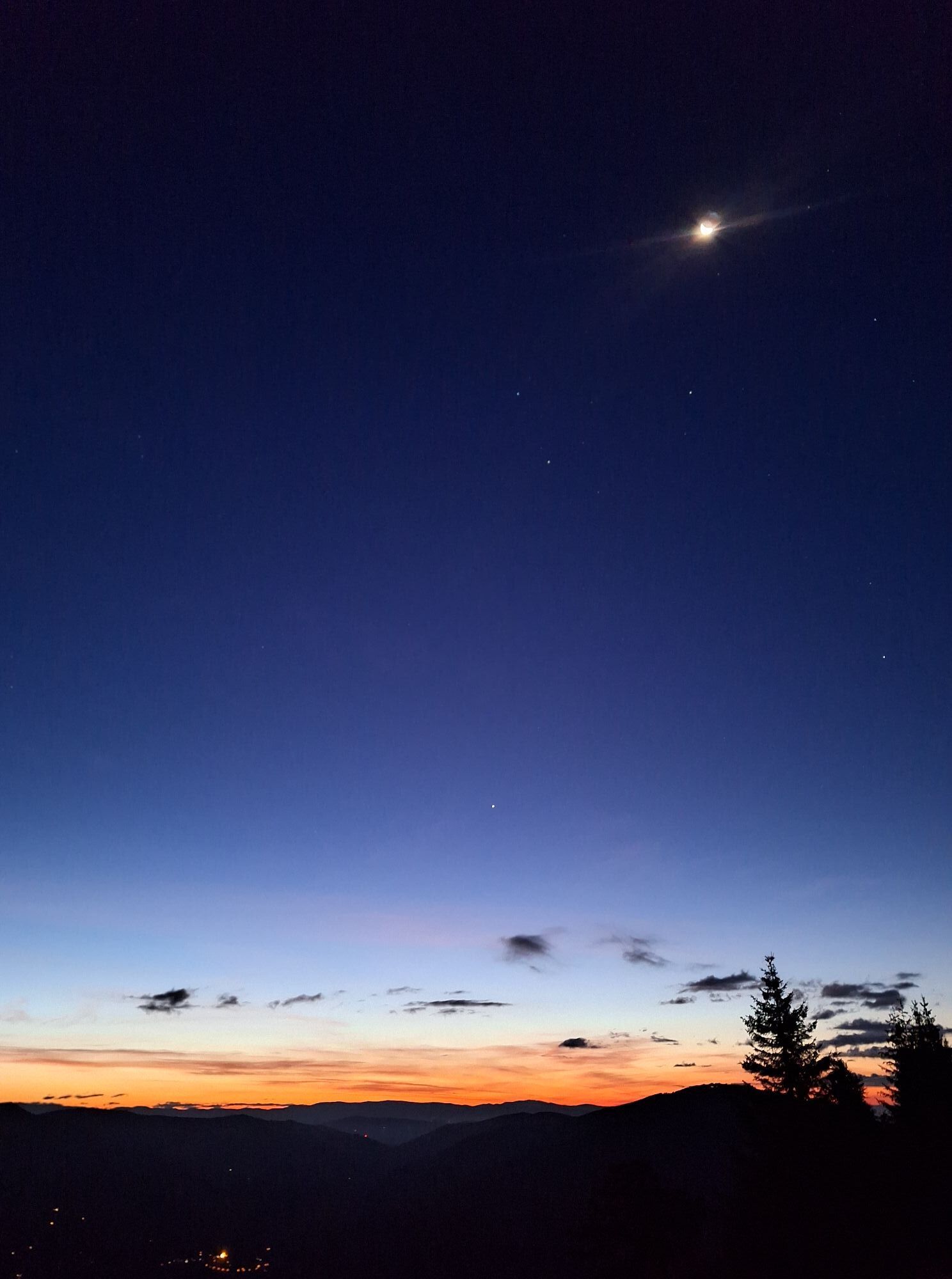
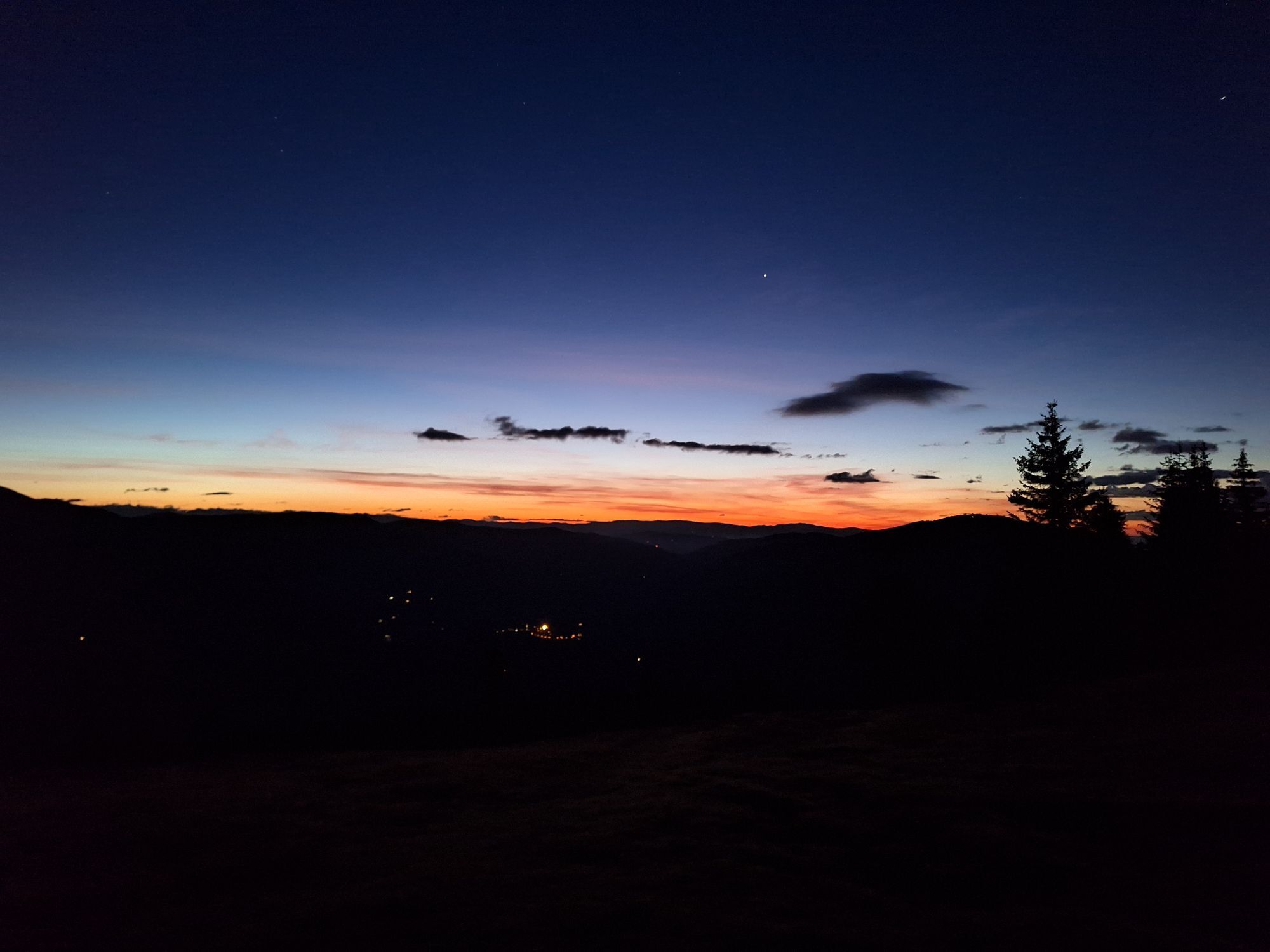
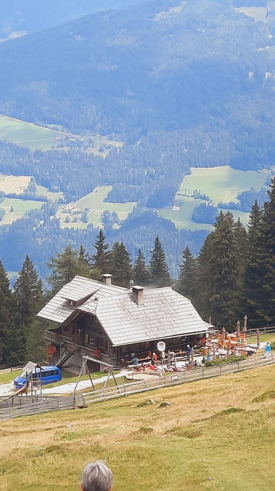
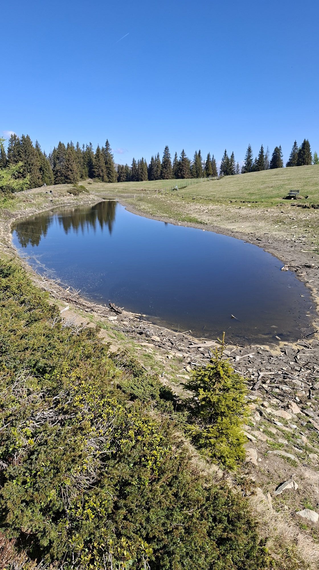
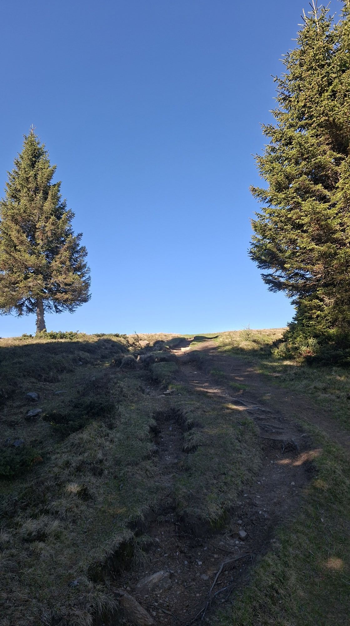
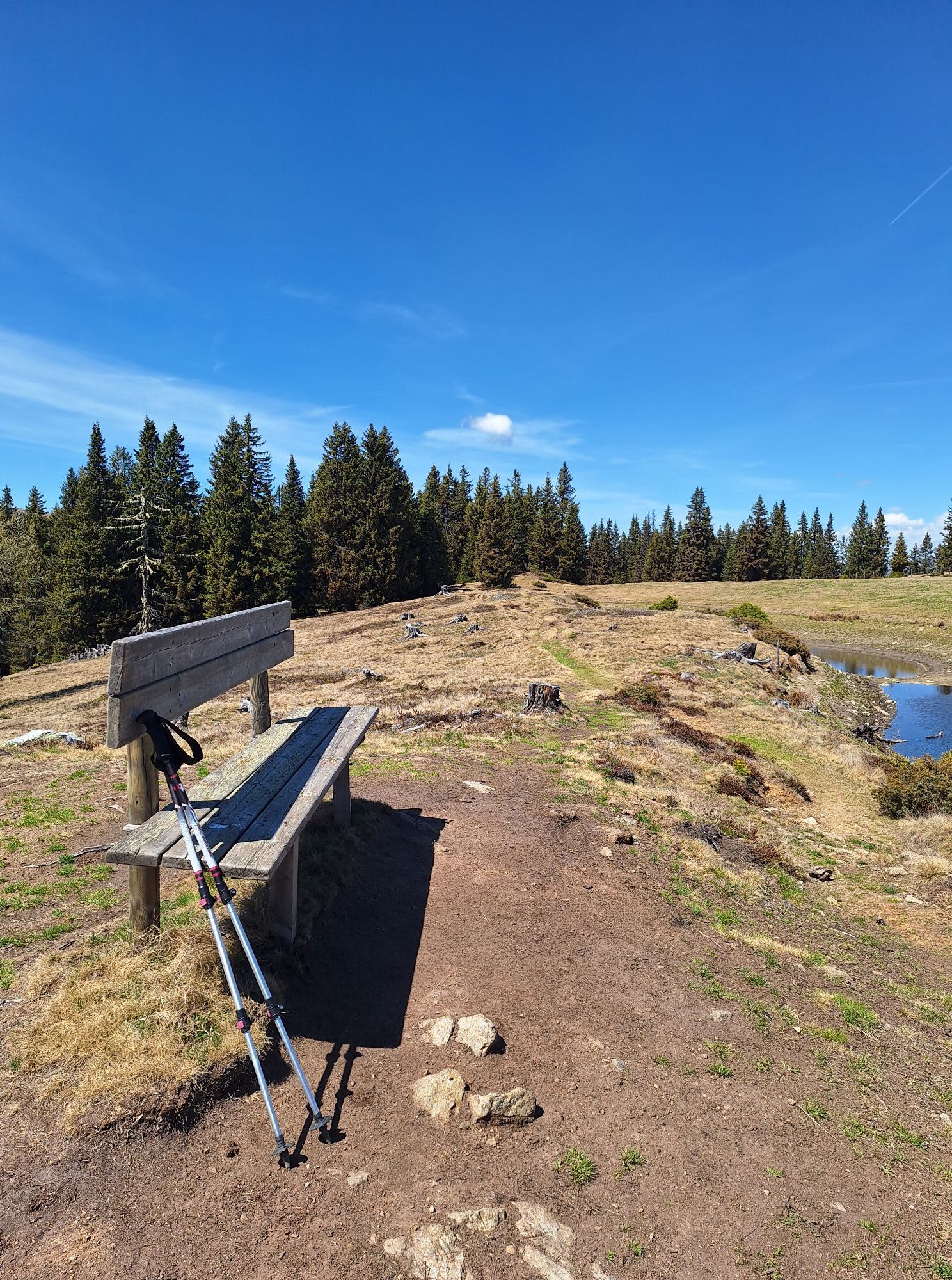
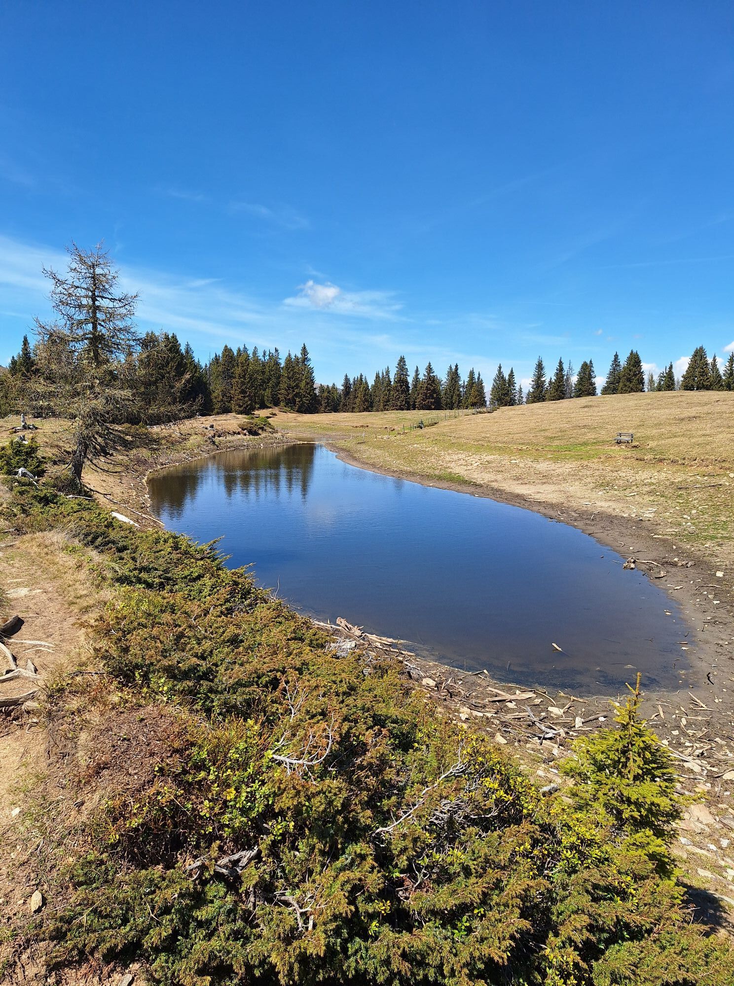
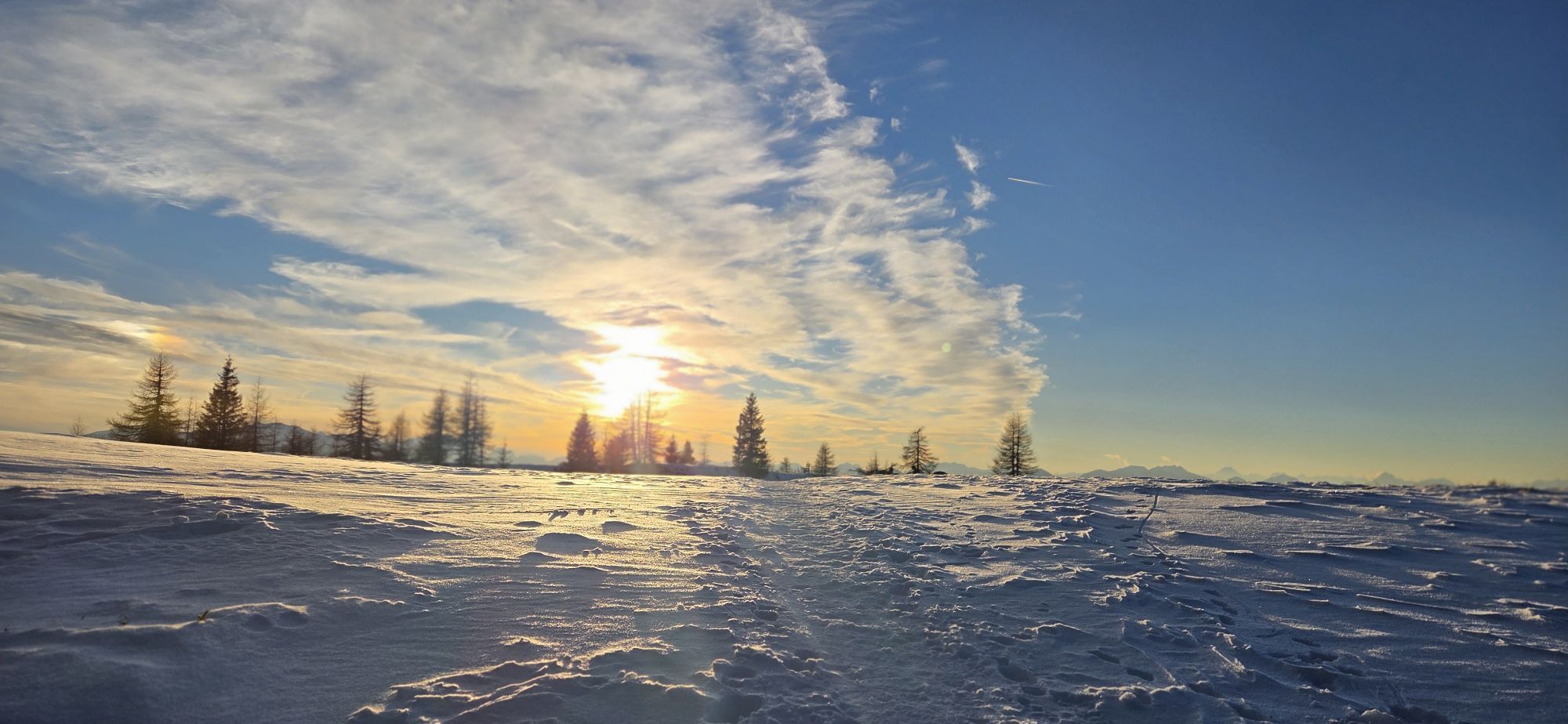


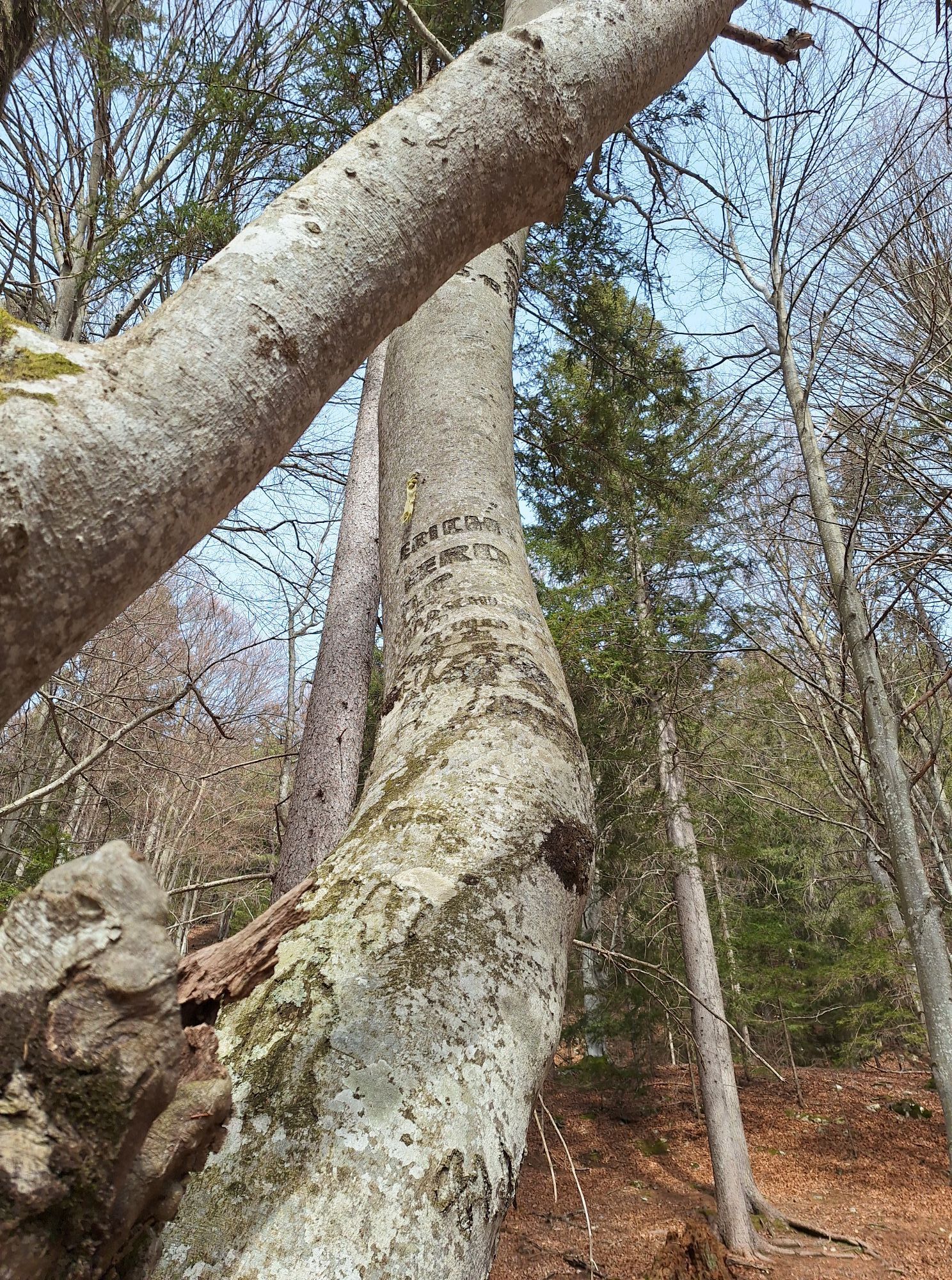
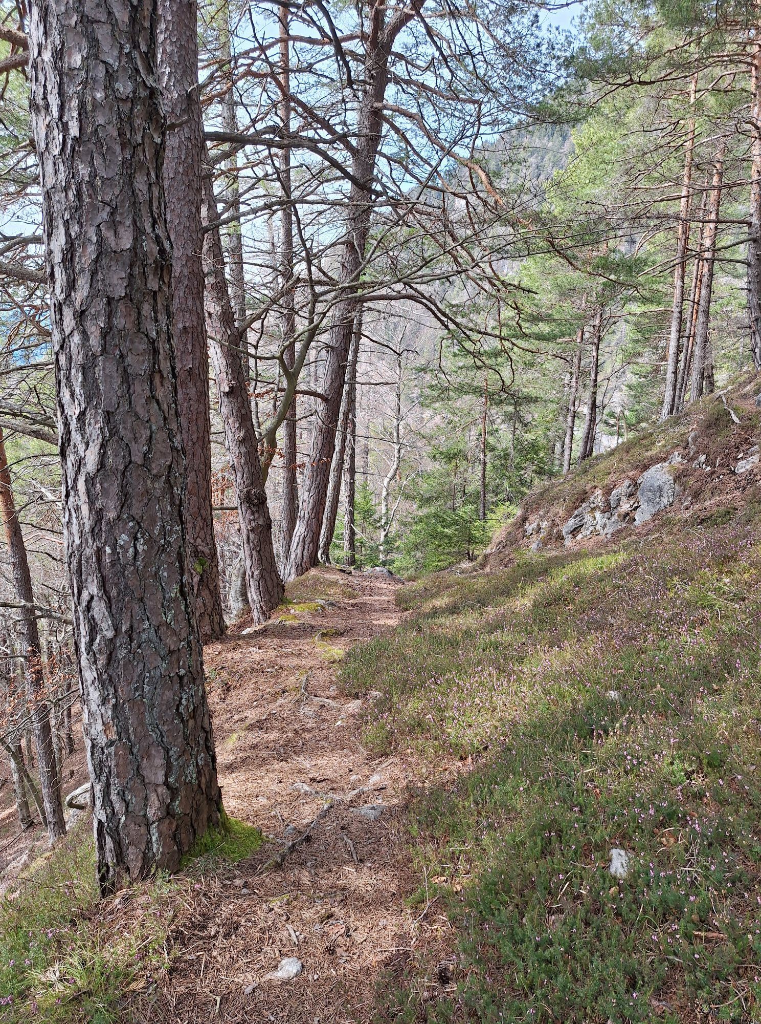

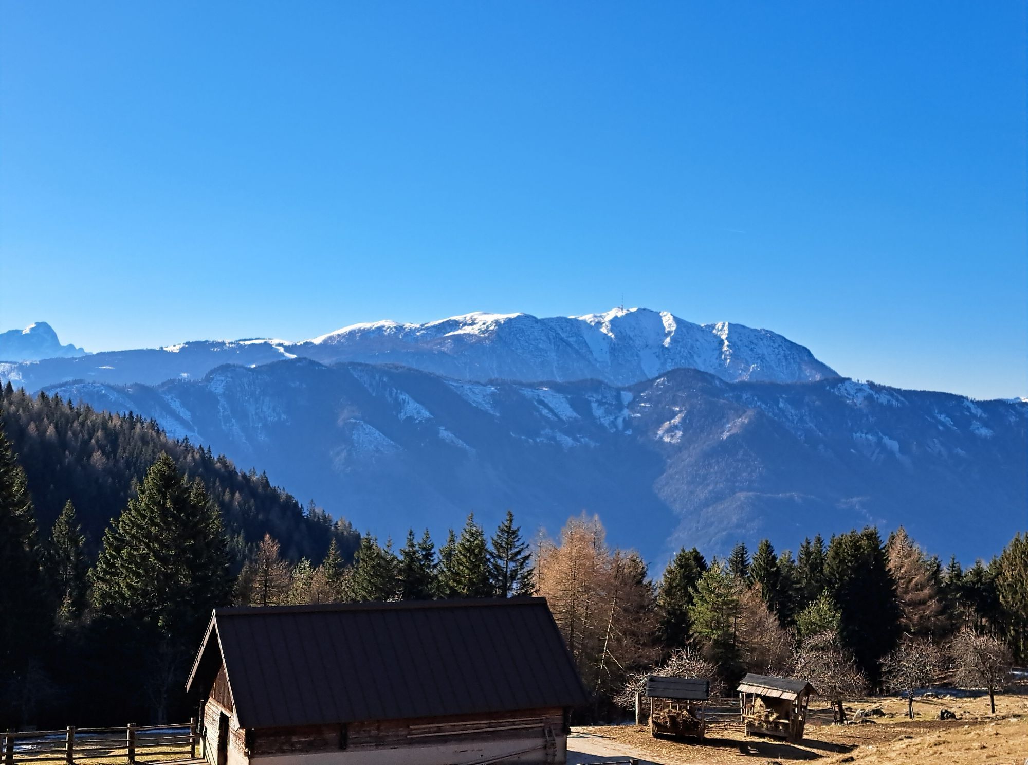
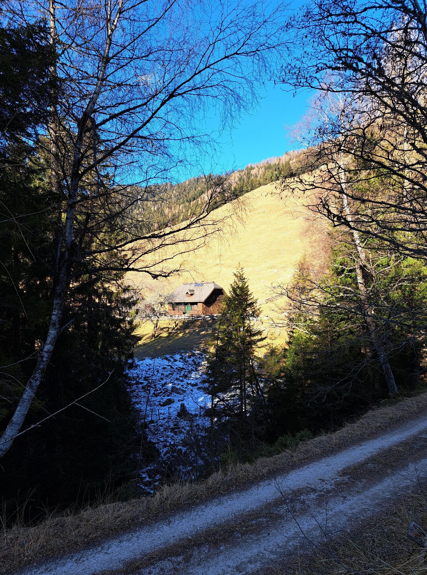




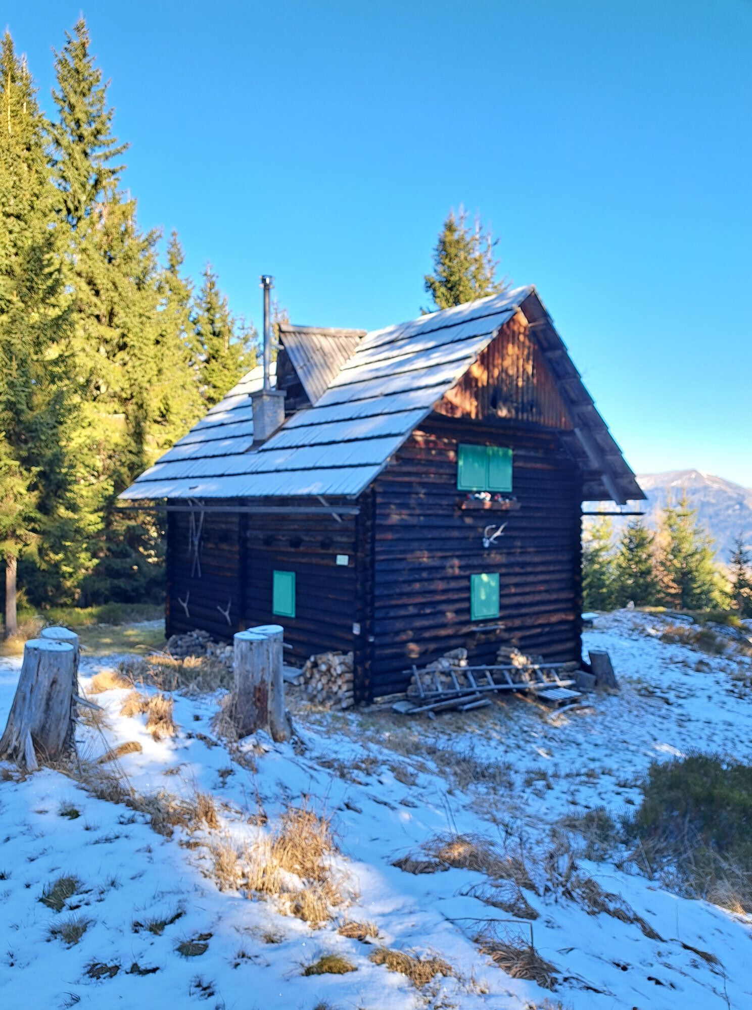
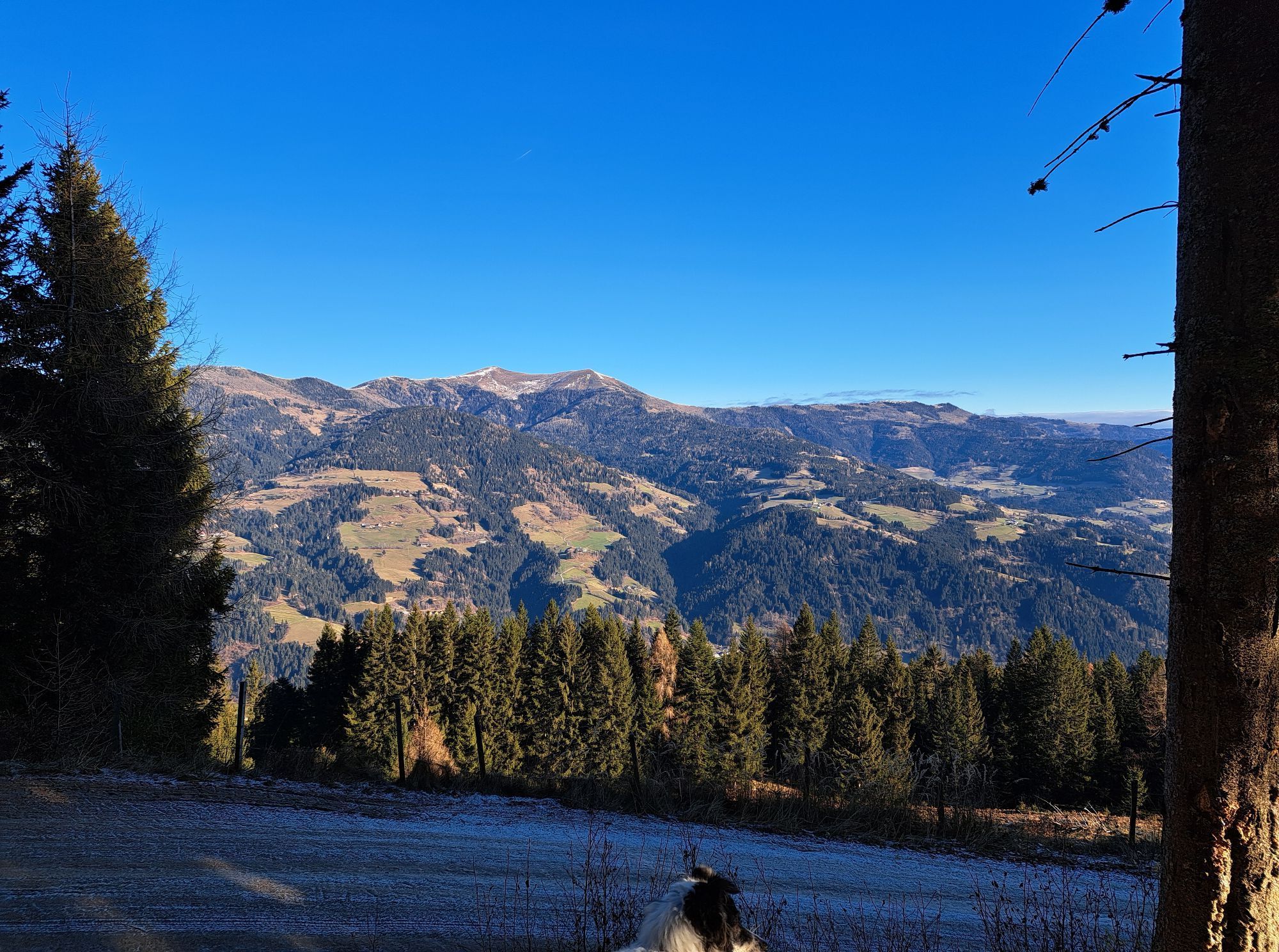
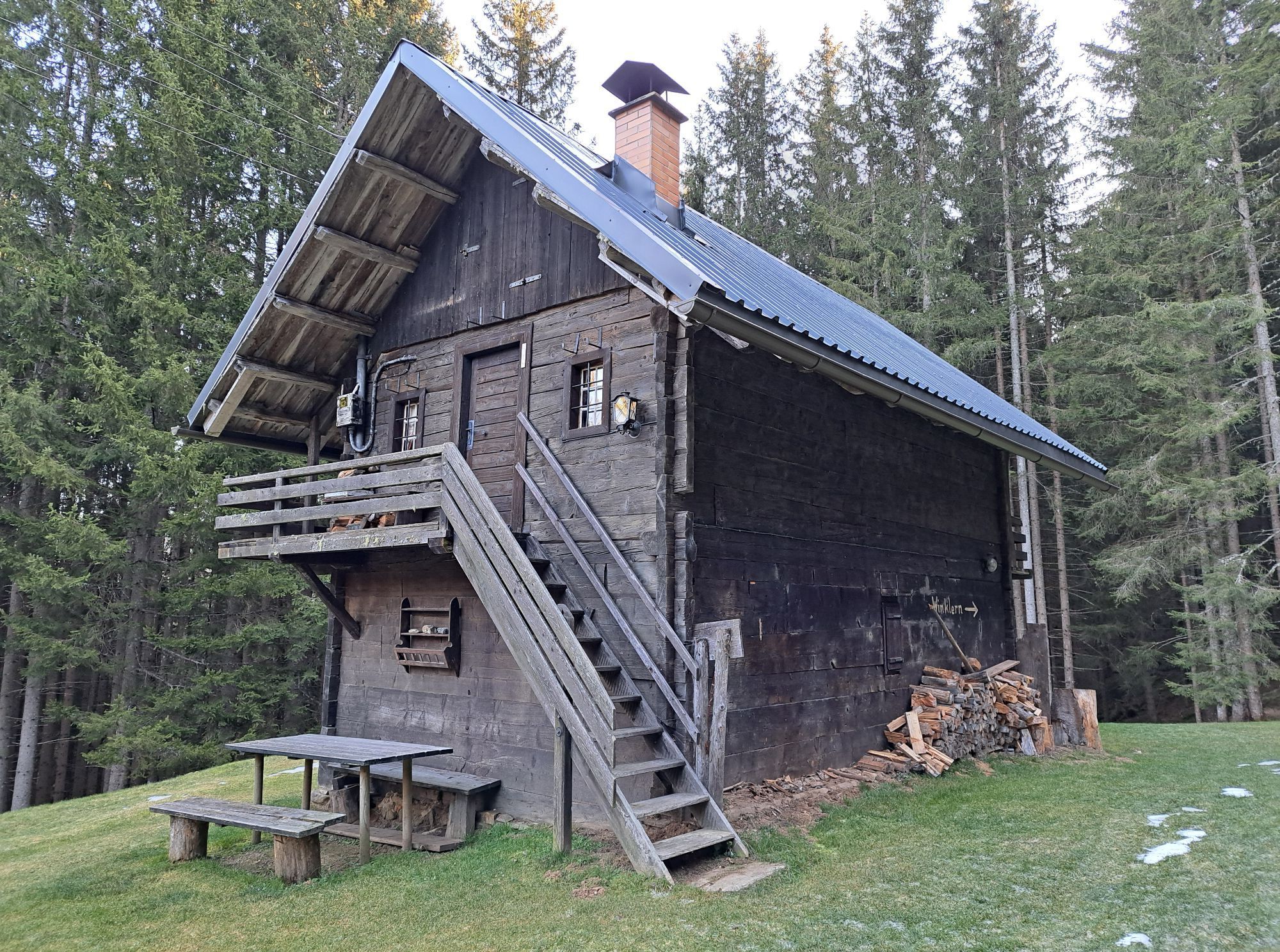
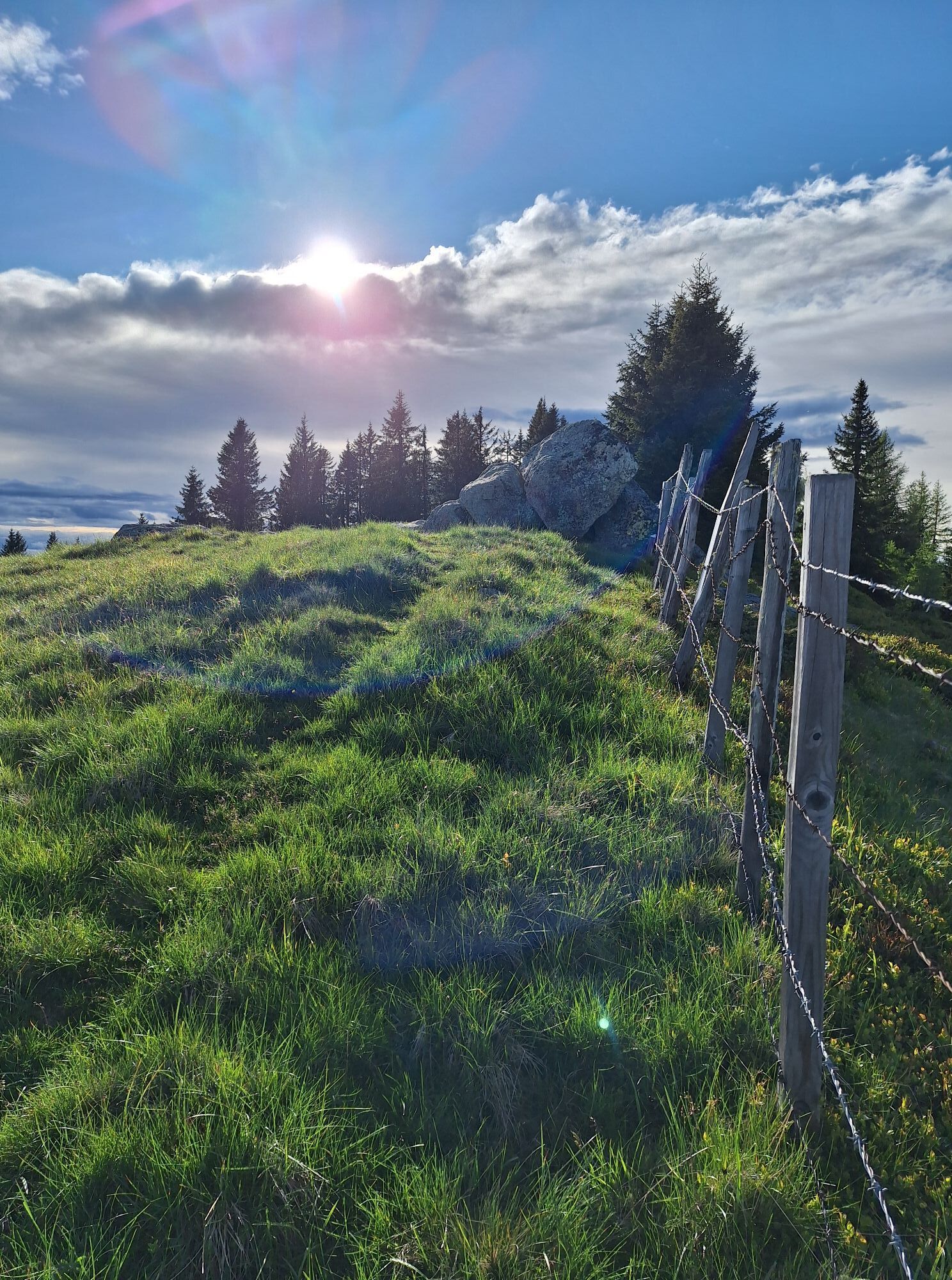
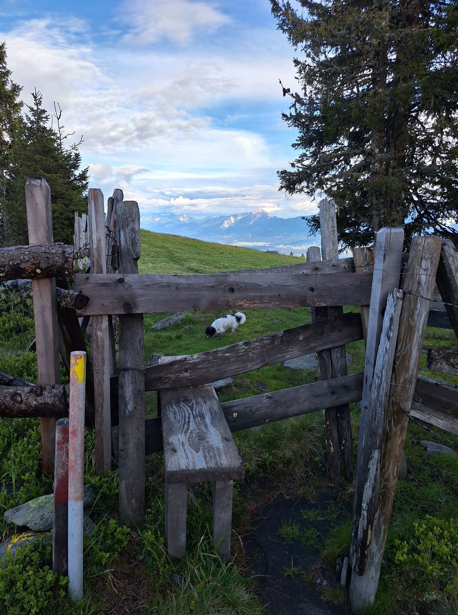
This demanding hike is perfectly accessible by public transport (departure and return from/to Villach main station) and, due to its direction and landscape, offers a multifaceted experience.

Starting from the platform at Puch station, pass through the underpass and turn left at Weissensteiner Straße (L37), following the road until you reach the Daulumweg on the opposite side of the road. After a short ascent on Daulumweg, you reach an intersection where you turn left and first pass between a farm and then across a meadow to reach the Dorfweg. Turn left here to the intersection and then right into the Forstweg, then continue into the Zauchenweg until you reach the first signposts (trail no. 179).
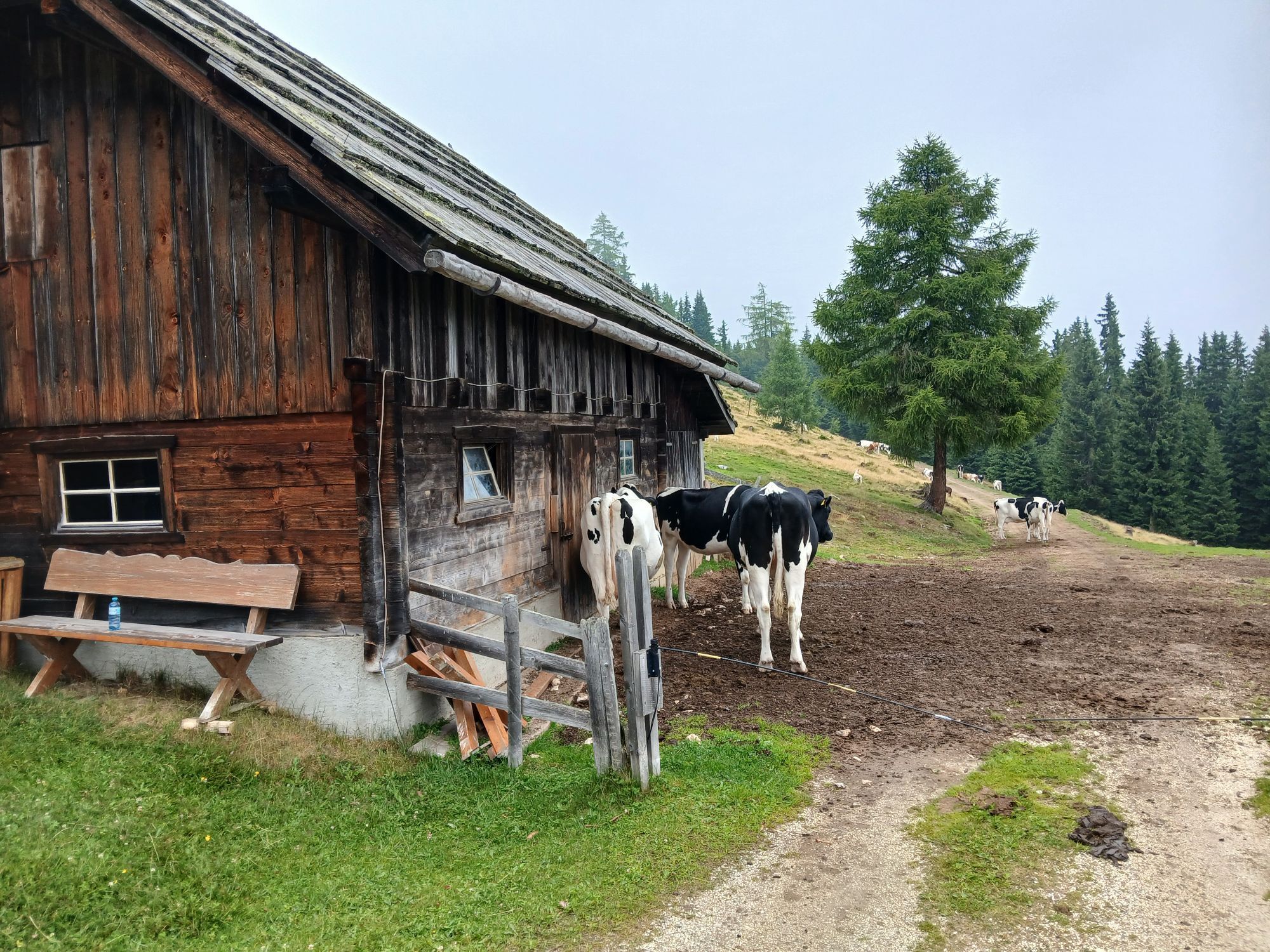
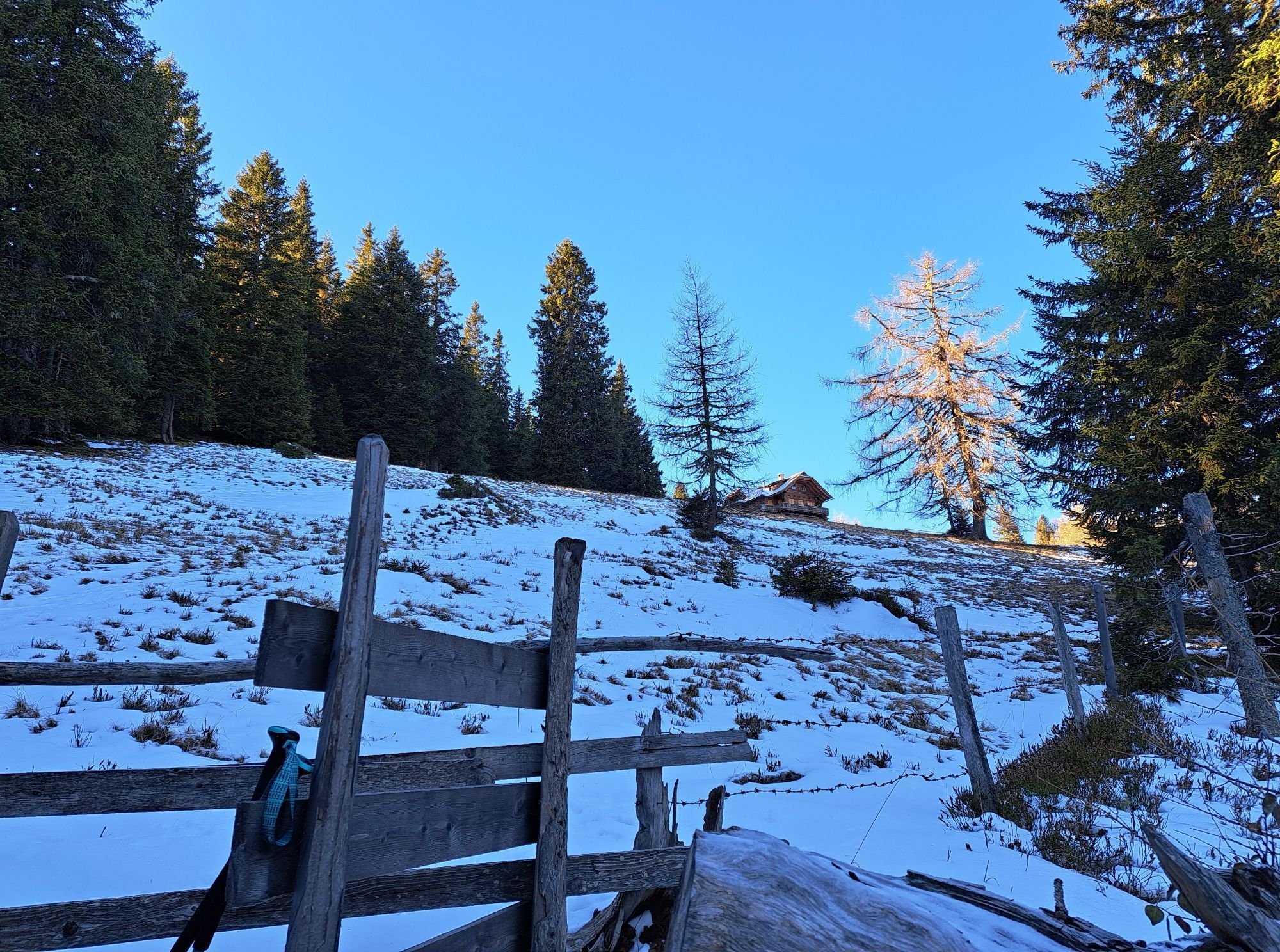
Turn left here and follow the forest road for about 20 minutes. The path branches off from the forest road as a trail named "Wandsteig" which you follow steeply uphill to the Zauchenalm. The trail then rejoins a forest road; turn left and then at the fork take the right path that leads over the alpine huts to the alpine meadow.
Immediately after the crossing, turn right and follow noticeable trails in switchbacks or directly uphill to the upper boundary of the alpine meadow to another crossing (note: some intuition and orientation is required here, there are markings on some stones – as a rough guide, you must ascend to the left of the stream).
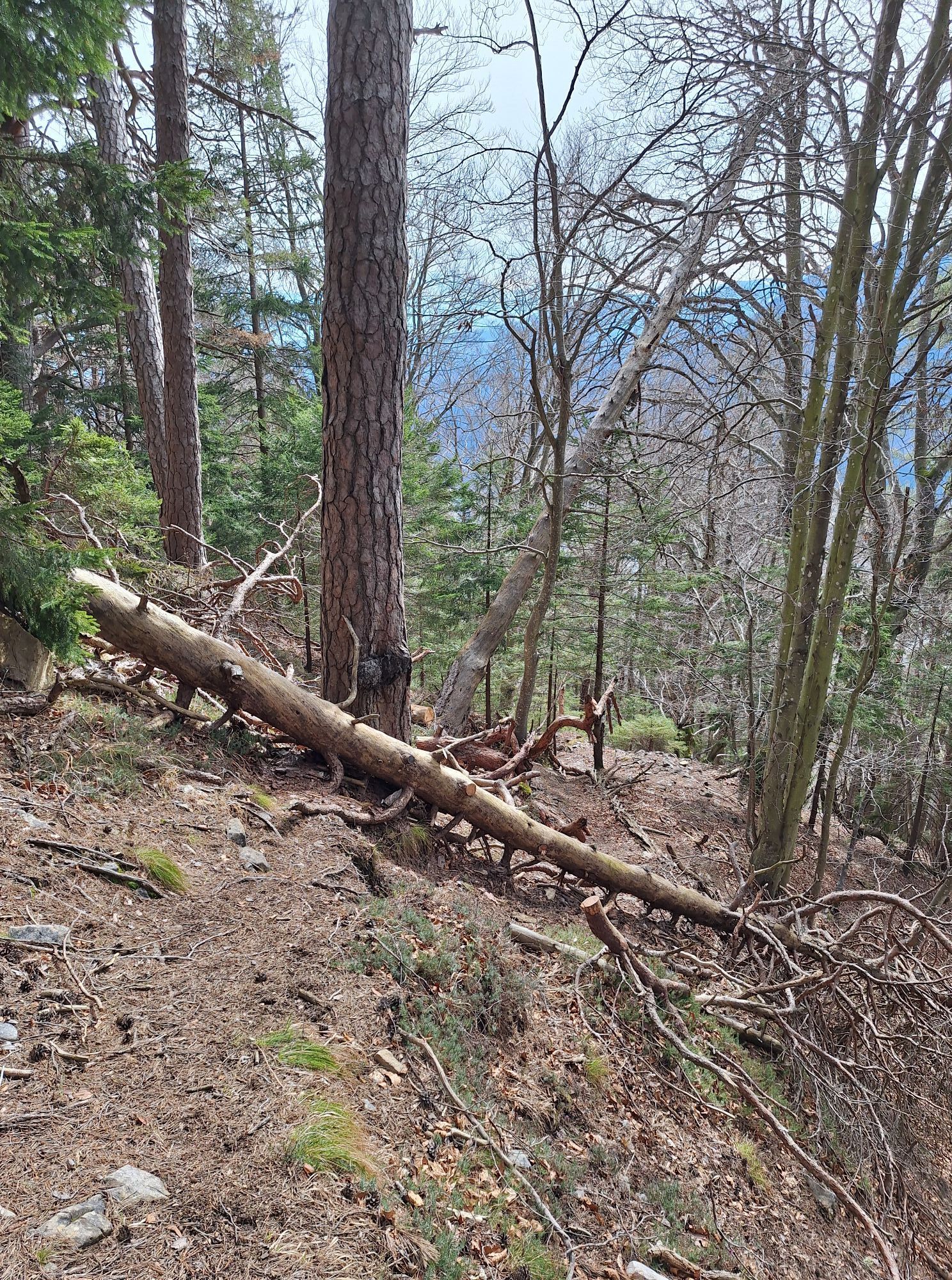
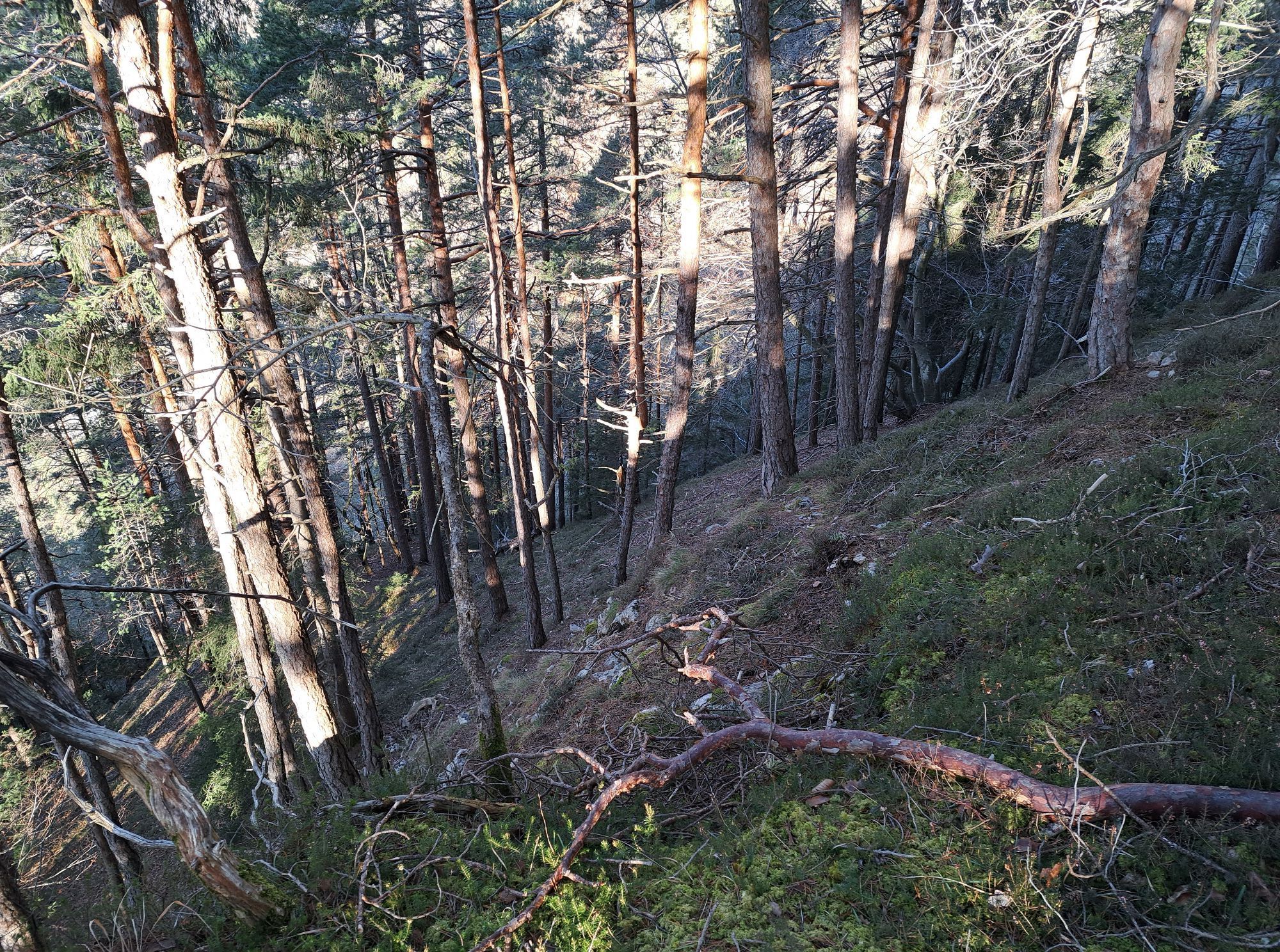
At the upper end of the Zauchenalm, the path merges into the forest road at the crossing. Directly opposite the crossing, the trail - inconspicuous at first meter - enters the forest. Follow this trail ascending through a dense dark spruce forest until it flattens and leads left under a pasture fence to a crossing. After crossing this again and a few meters further, you gratefully reach a spring.
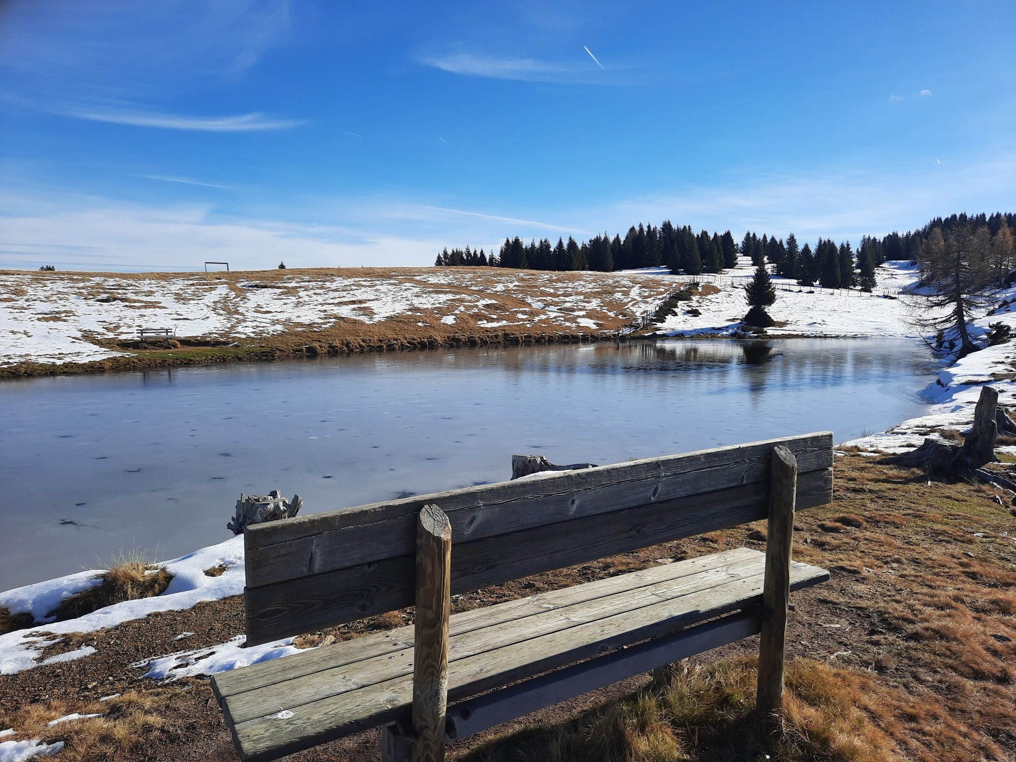
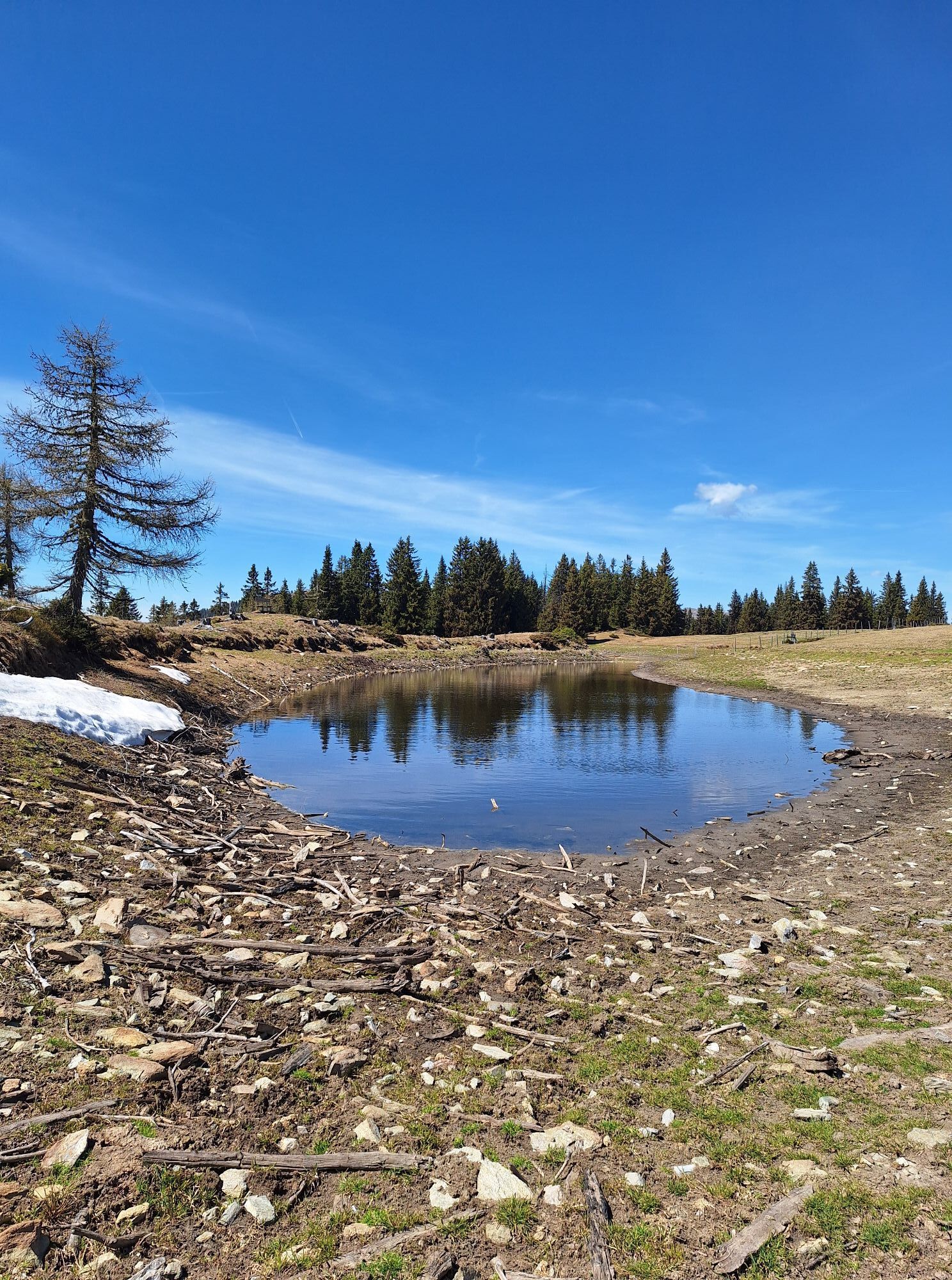
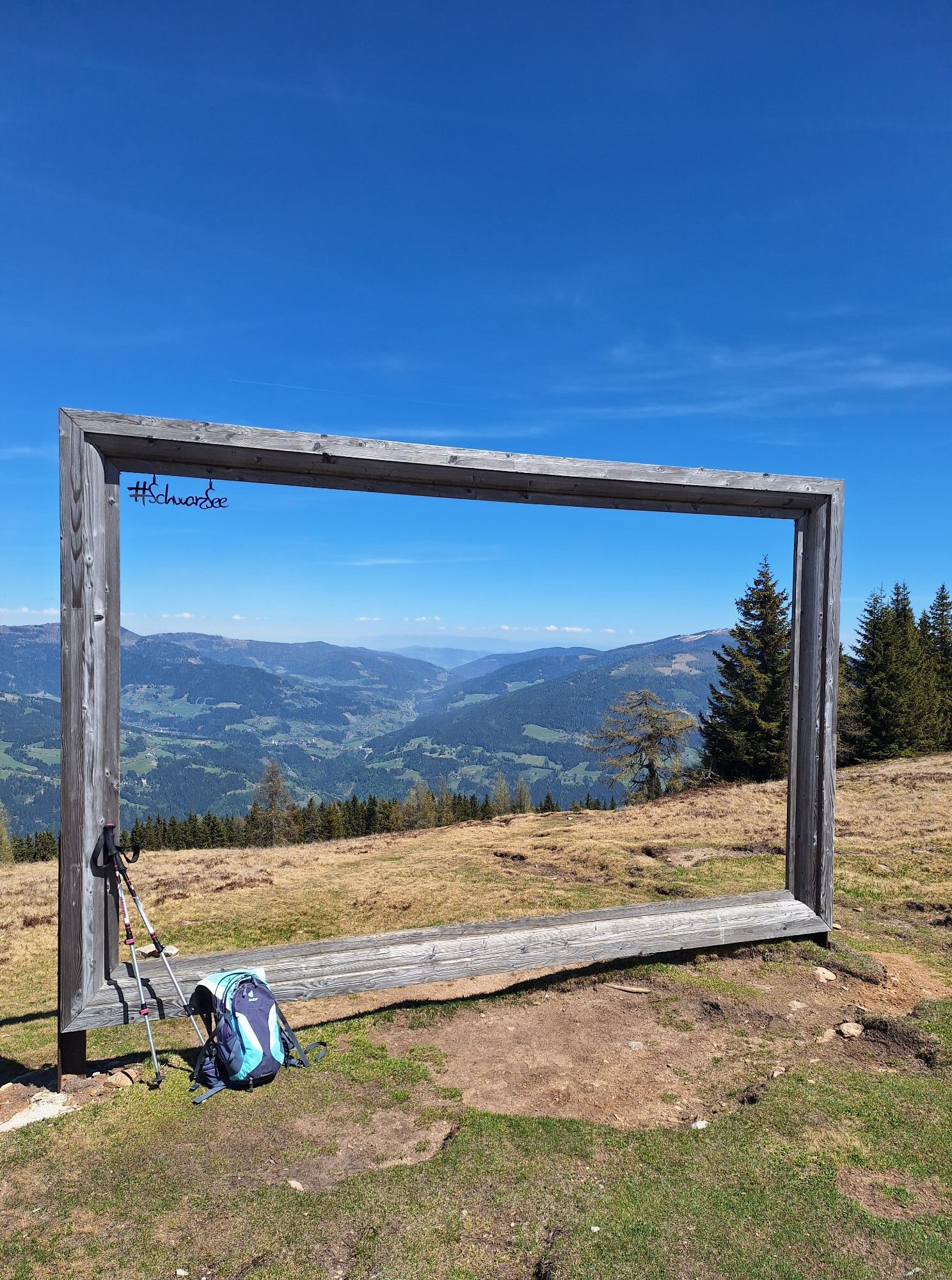
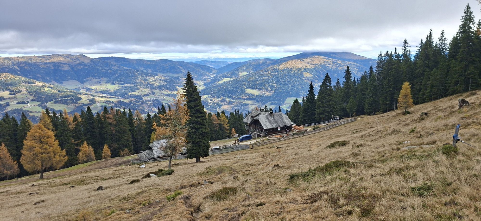
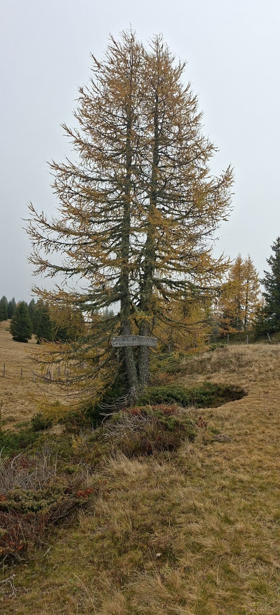
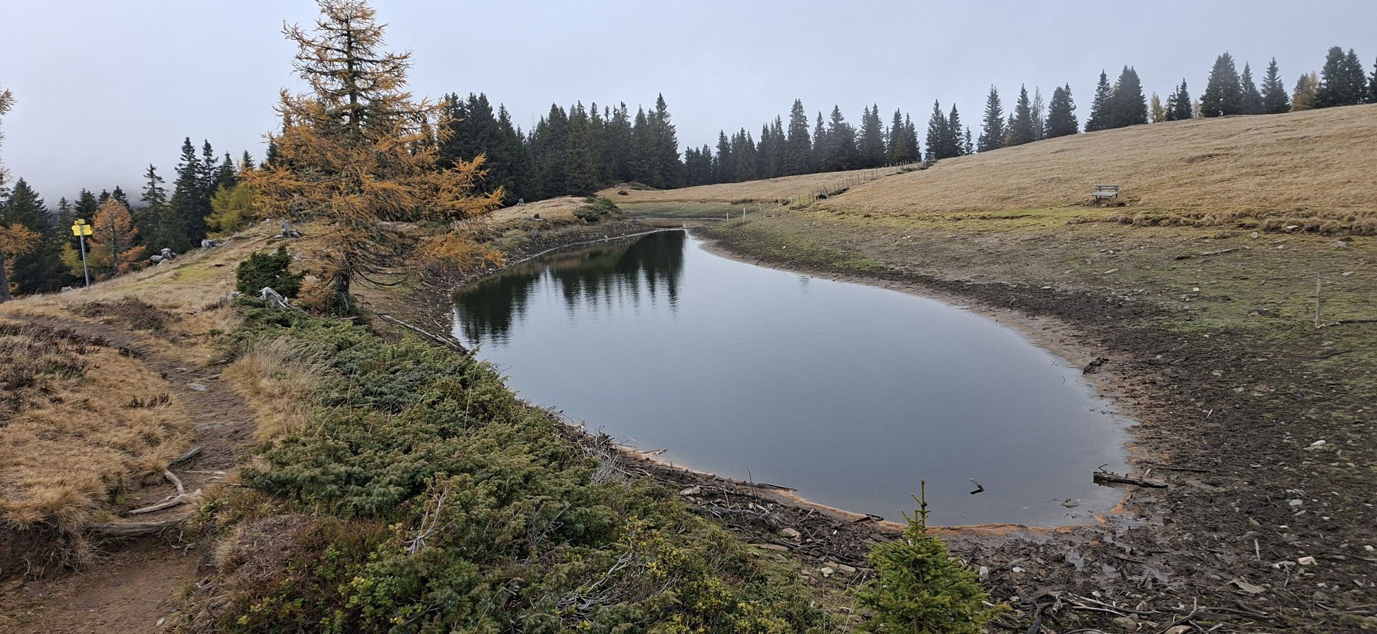
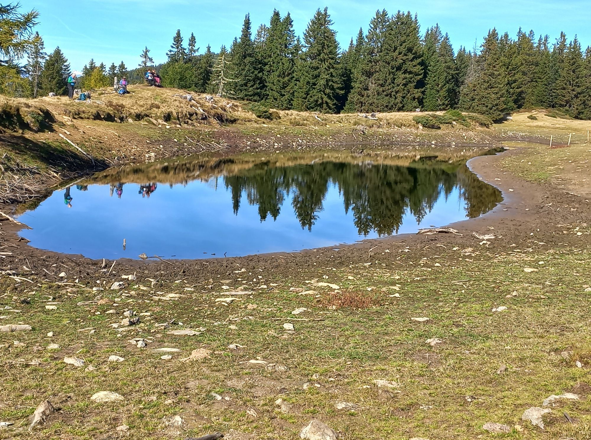
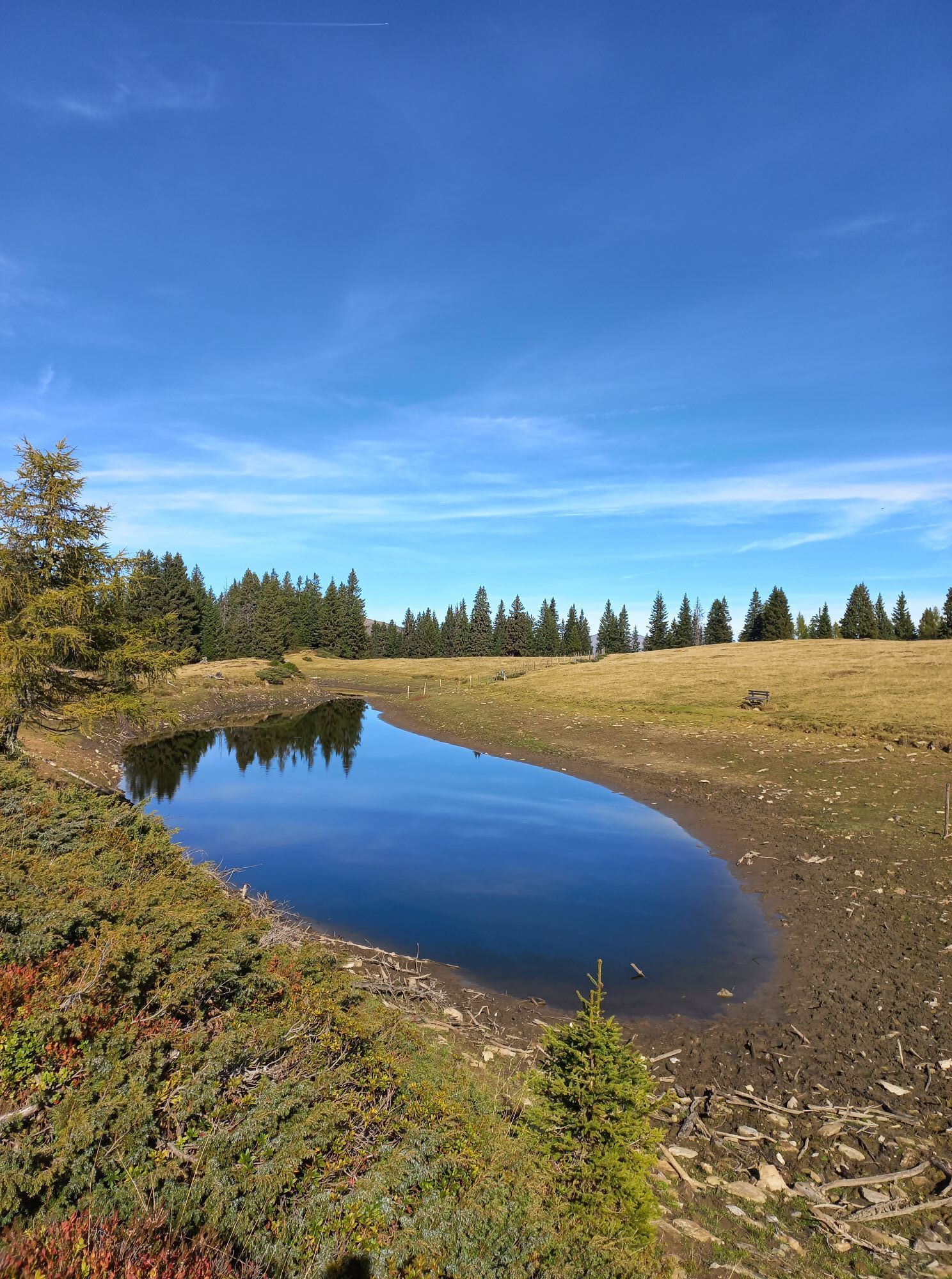
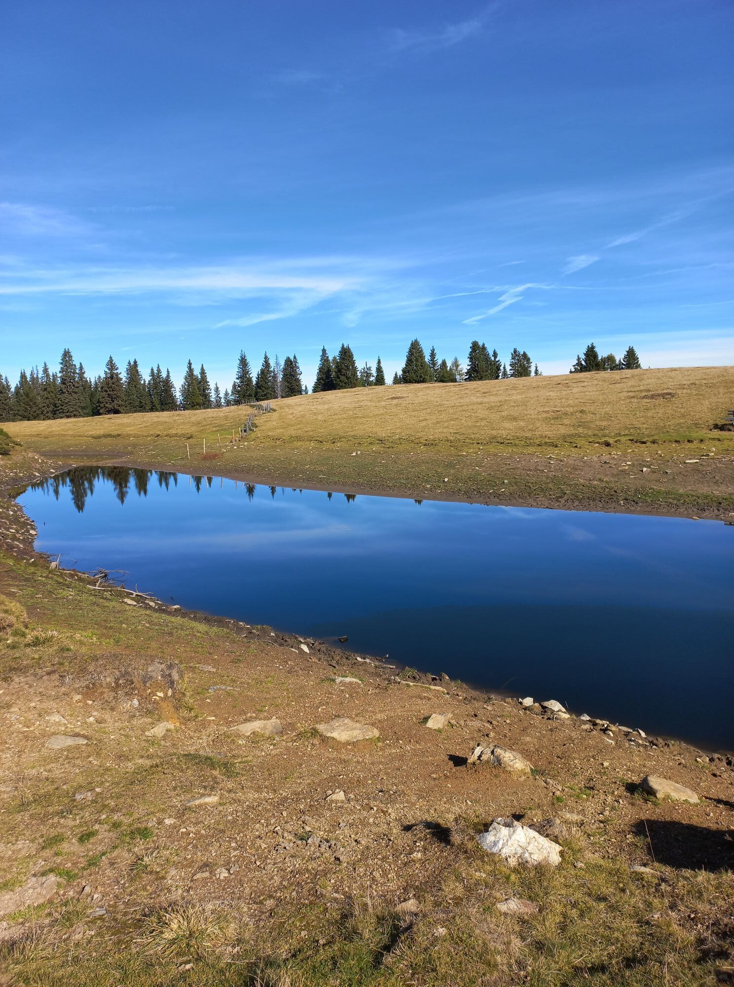
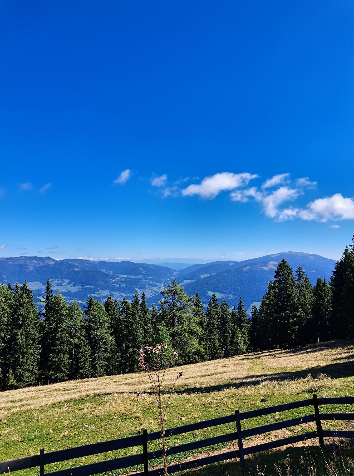
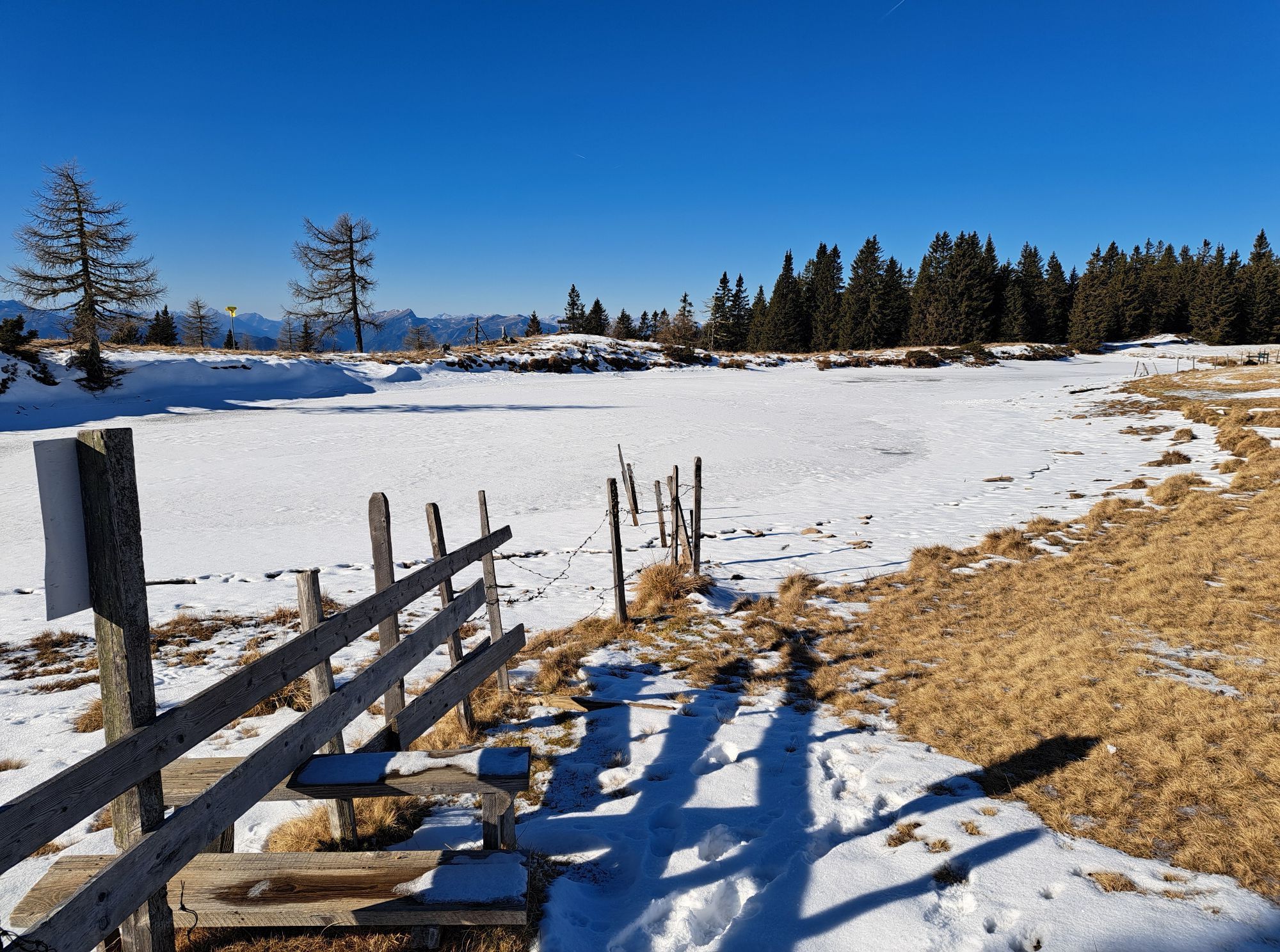
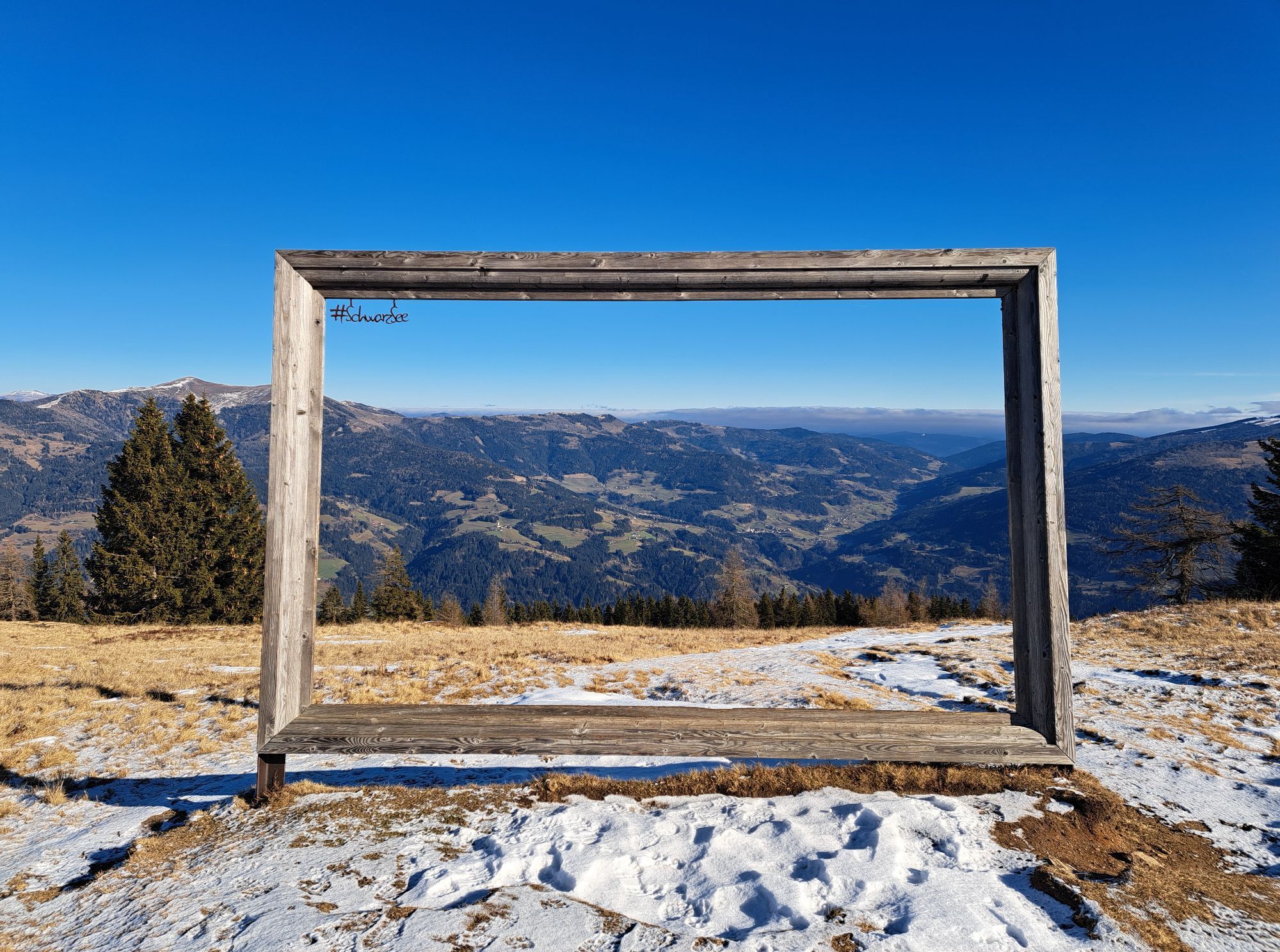
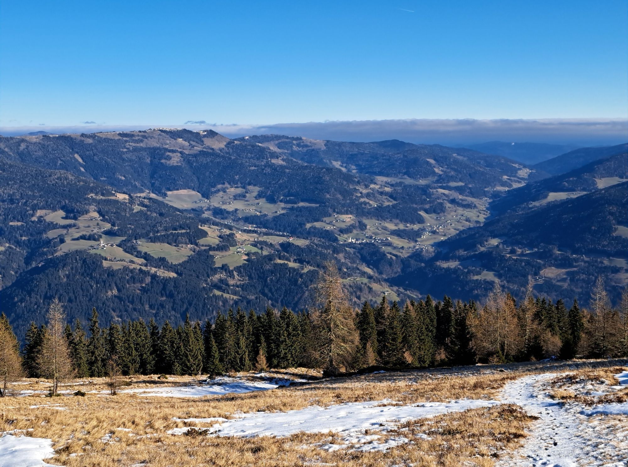
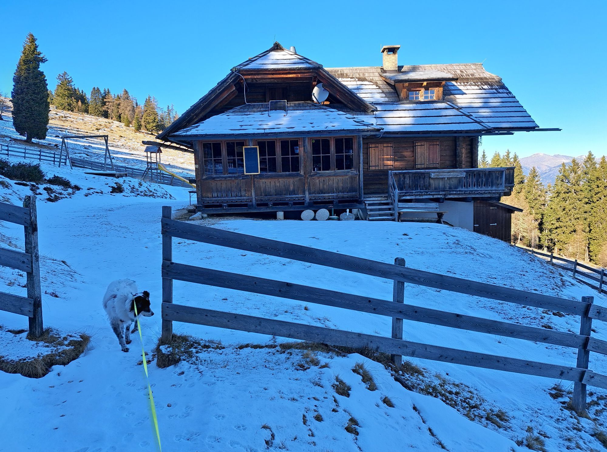
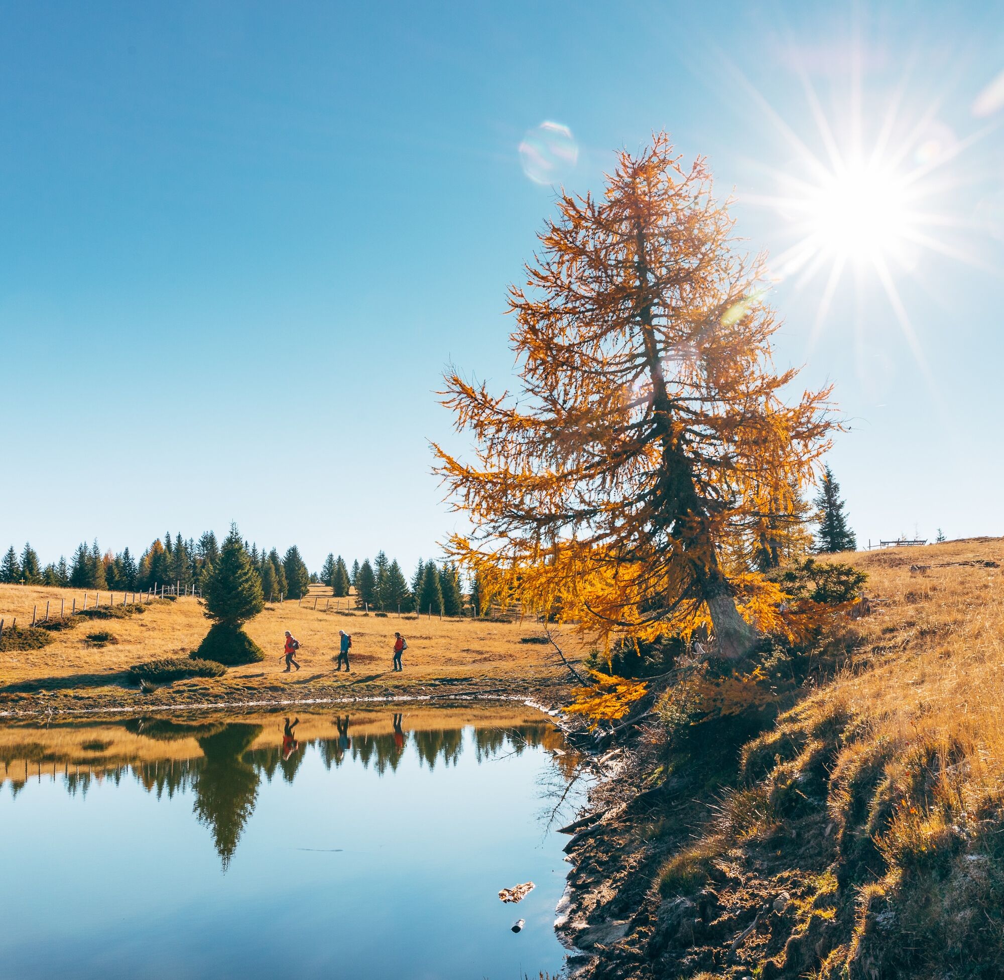
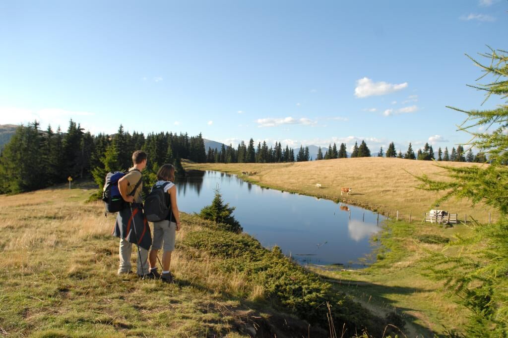
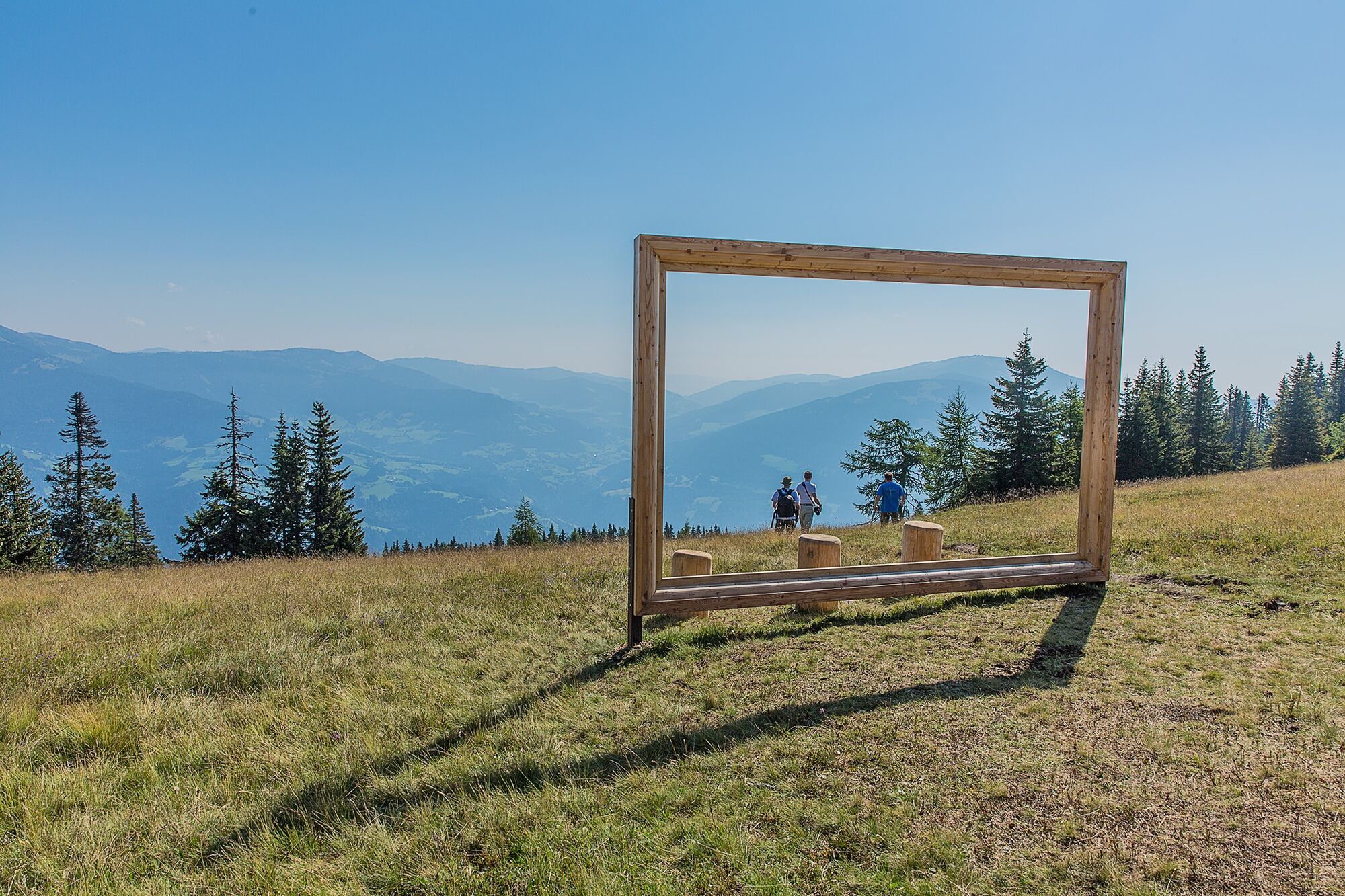
The last section from the spring leads best along the right pasture fence through magical forest and alpine meadows over the tree line to the summit rock of Amberger Alm. From here on, the path is flat and rewarded with a beautiful panorama. Now head northwest over the former Kulnighütte (unmanaged) to the Schwarzsee, the scenic highlight of the route. After a short pause, follow the signs downhill to the Schwarzsee hut.
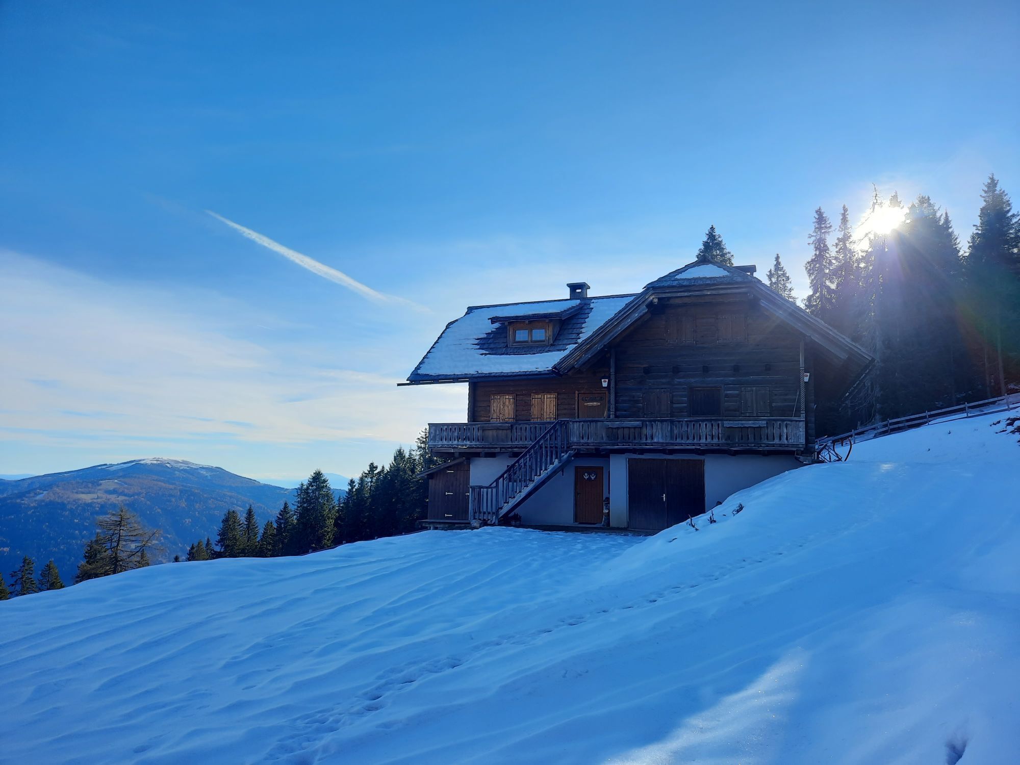
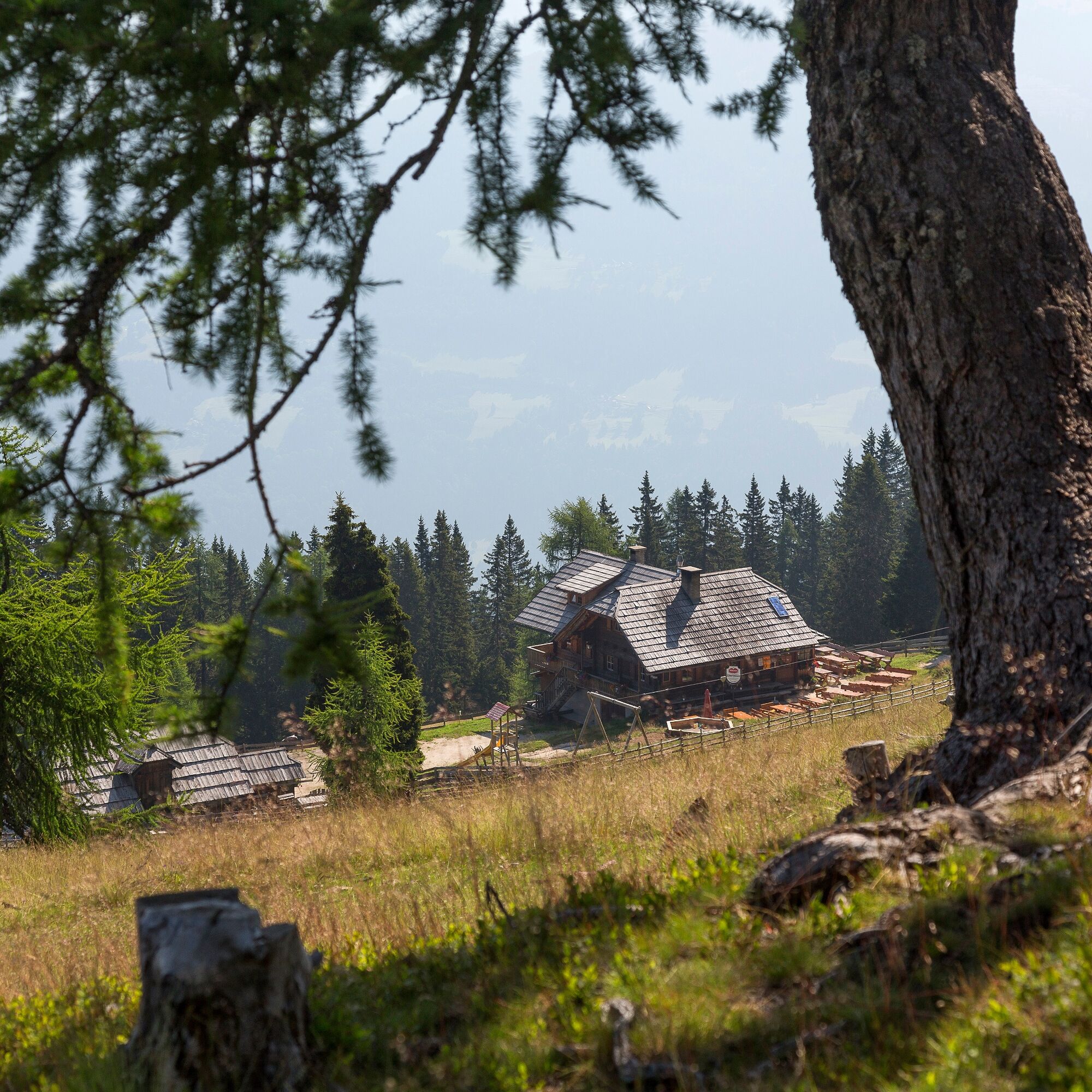
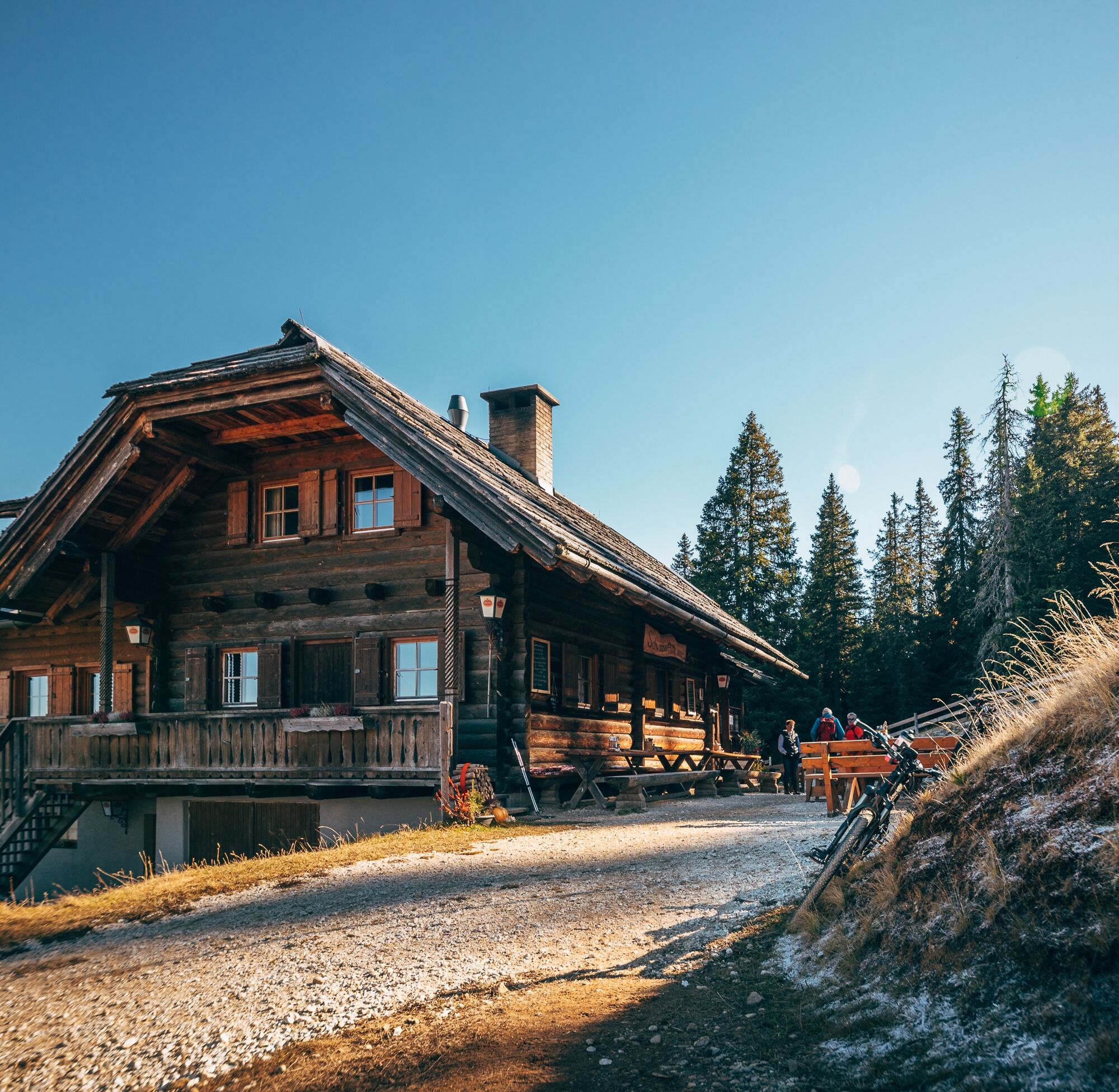
If you leave this hut on your left, there's simply no helping you! The Pirker family welcomes guests with passion and sensational dishes that also please the eye.
The descent to Afritz is best done via trail no. 28 which leads to the Millstätter Straße (B98) at the height of Mühlenweg into the valley. From Mühlenweg, it’s about 10 minutes to the bus stop opposite the Strobl bakery.
Mountain boots with good soles, backpack, functional underwear, rainwear, hiking poles, food and drink, maps, first aid, mobile phone
For ideal public transport options from Villach main station and the necessity of a second car, car travel is not described here.
Puch is regularly accessible by public transport.
Here is the timetable information.
Example Saturday (as of June 2024)
Departure:
Villach - Puch
e.g., 6:54 or 7:54 am
Return:
Afritz - Arriach - Villach
e.g., 6:42 pm
For ideal public transport options from Villach main station and the necessity of a second car, car travel is not described here.
T2
Popularne wycieczki w okolicy
-
4,6
Auf den Dobratsch mit der ganzen Familie
Wędrówka 8,40 km -
4,7
4 Huts route
średniWędrówka 8,96 km -
5,0
Amberg: Palnock 1901m, Schwarzsee, Rundstrecke
średniWędrówka 7,94 km -
4,4
Finsterbach Waterfalls - Circular route
średniWędrówka 3,87 km -
4,6
Millstätter See cycle track
średniJazda na rowerze 27,7 km -
4,2
Schwarzsee circular hiking trail
średniWędrówka 7,79 km -
4,6
Gailtaler Alpen: Wanderung auf der Dobratsch
średniWędrówka 8,50 km -
4,9
Skitour: FIS K70, Auf Franz Klammers Spuren
średniWycieczka narciarska 11,3 km -
4,3
Gerlitzen - Hüttersteig
ciężkiWędrówka 6,80 km -
4,3
Feldpannalm round | nock/art route 2
średniTrasa tematyczna 7,96 km

Wędrówki i tropienie


Nie przegap ofert i inspiracji na następne wakacje
Twój adres e-mail została dodana do listy mailingowej.





