






Aichelberg Castle Ruins - Rauterkogel
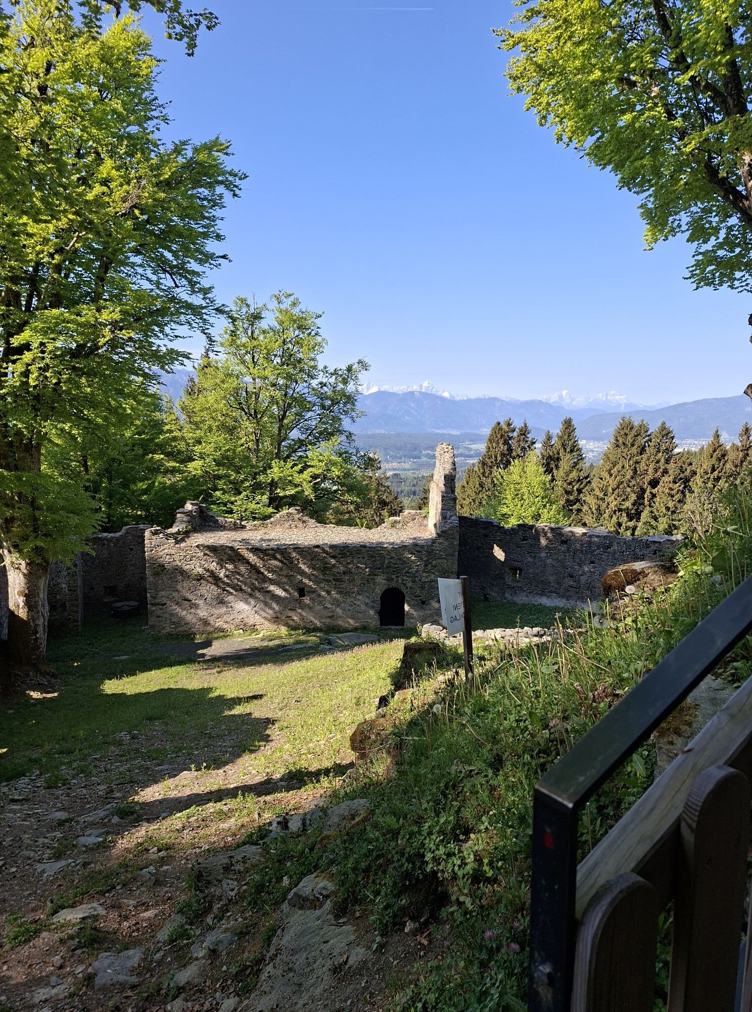
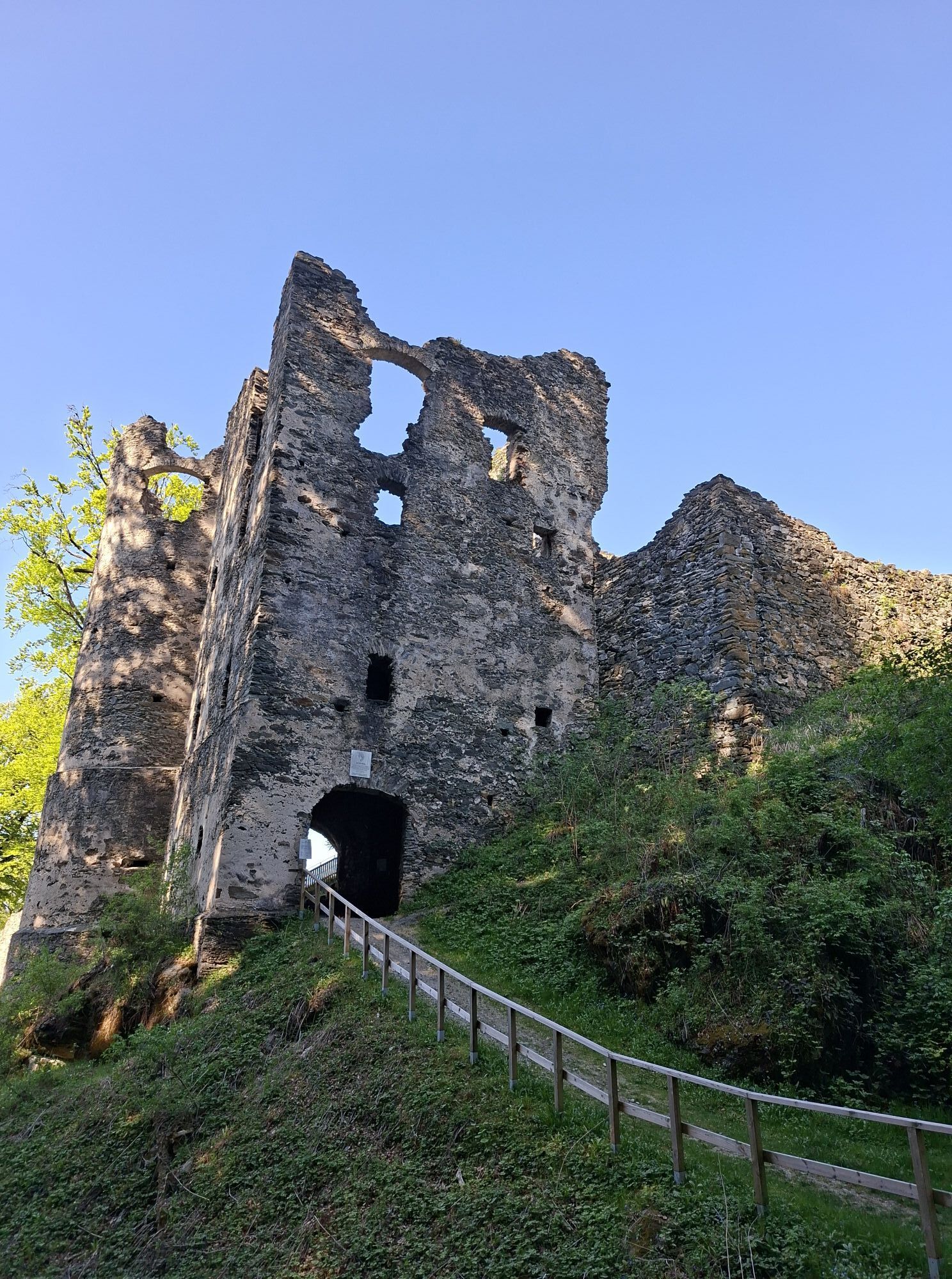
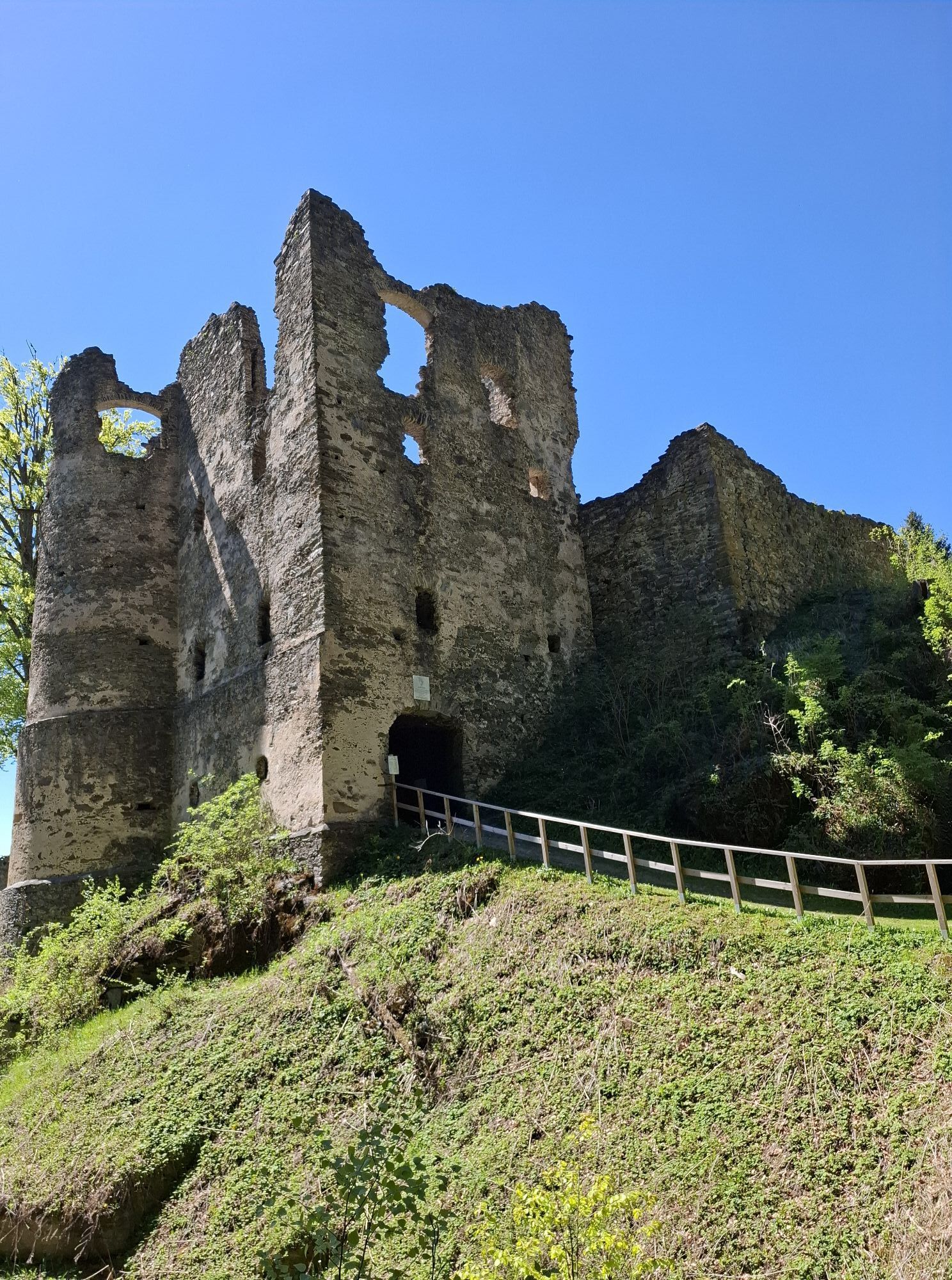
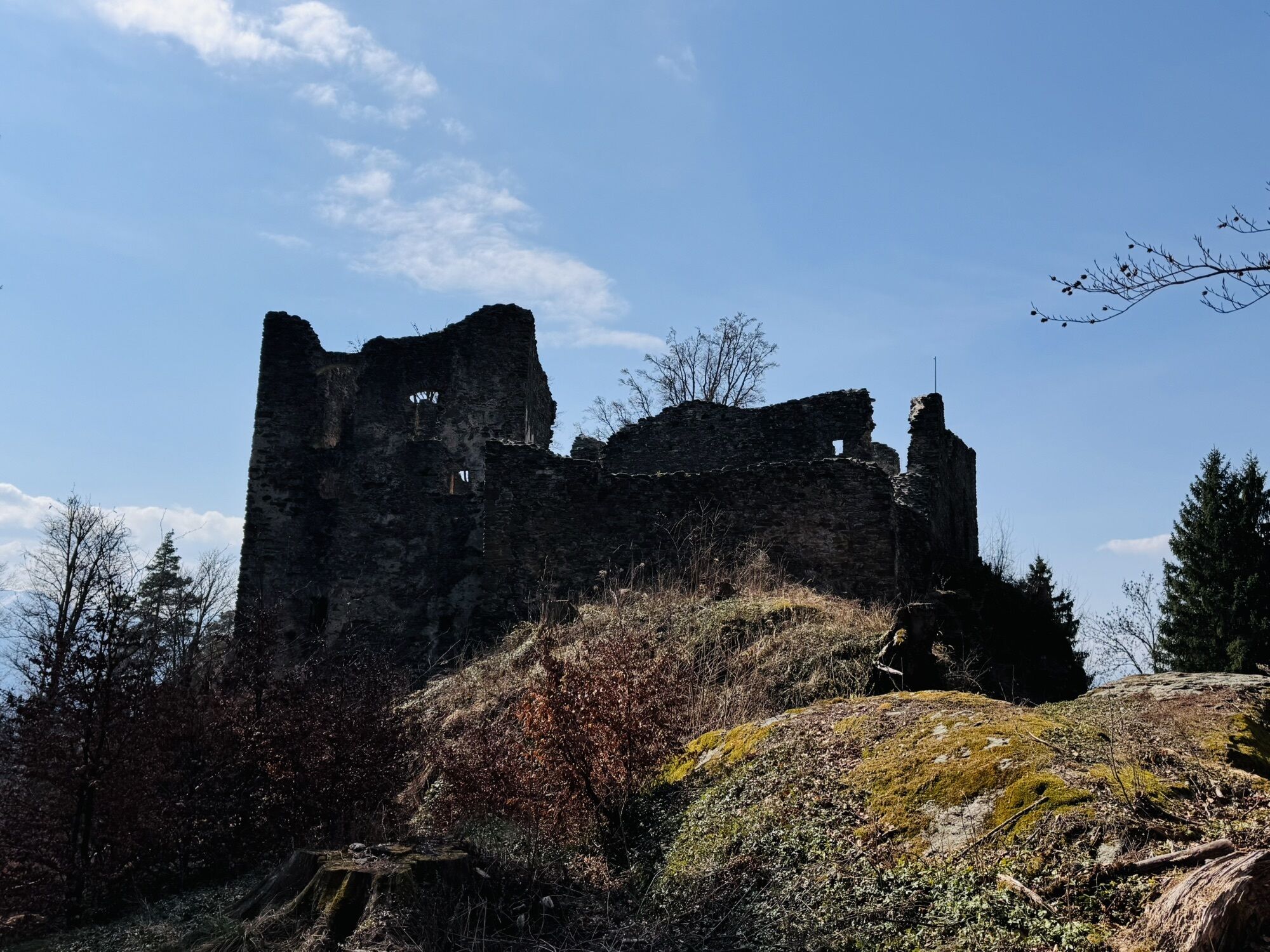
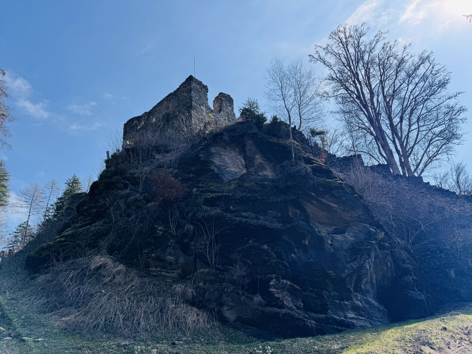
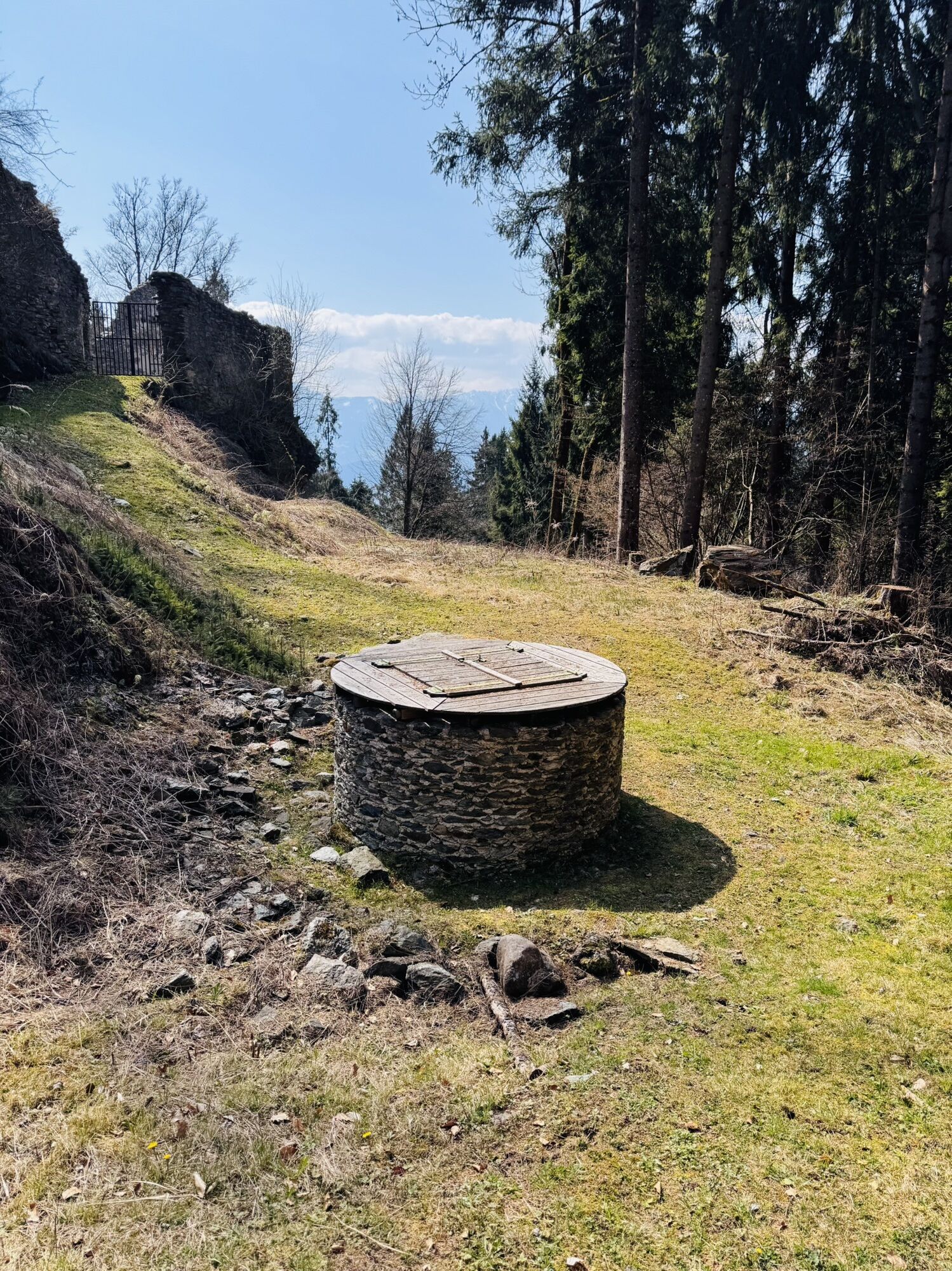
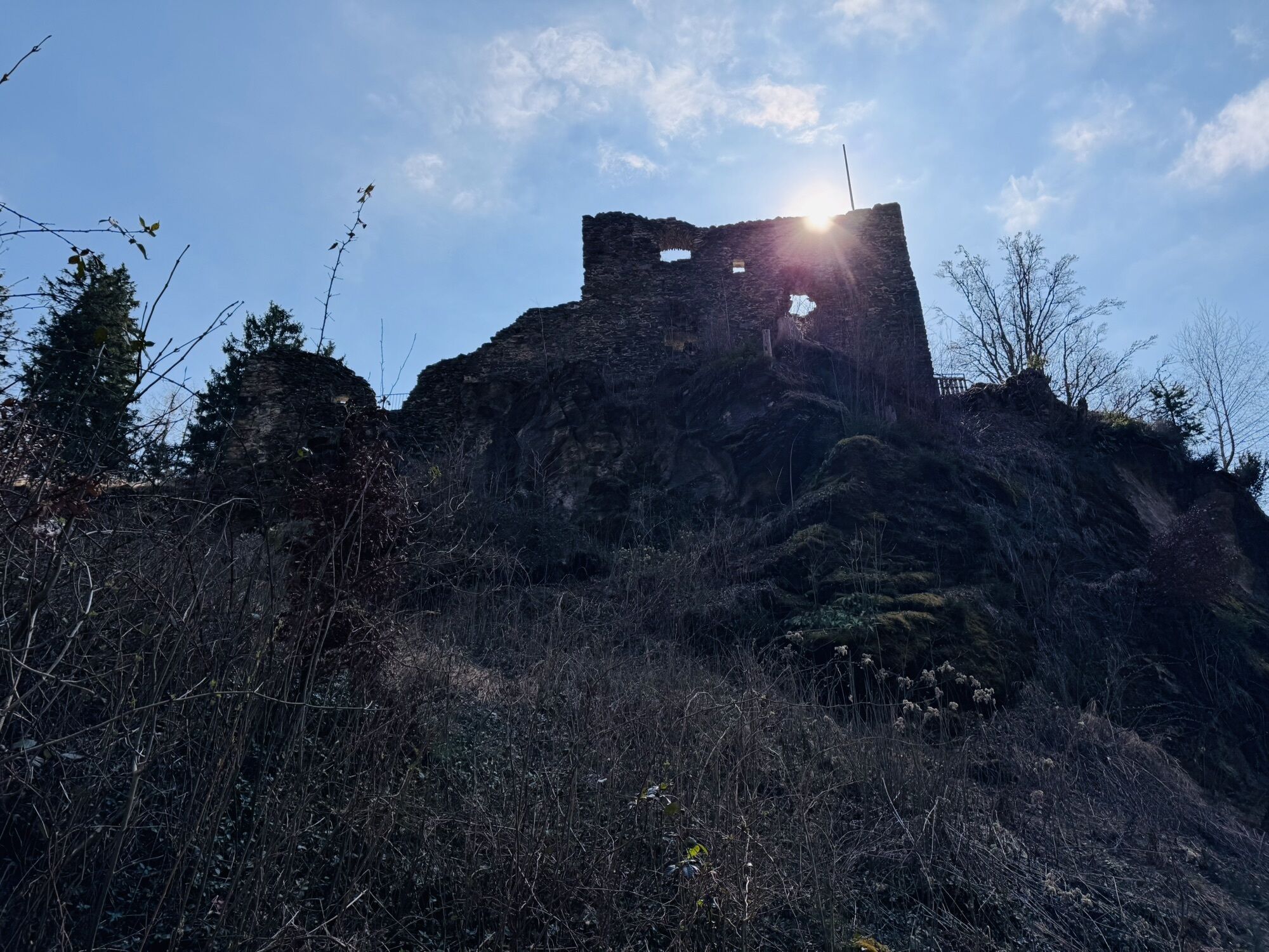
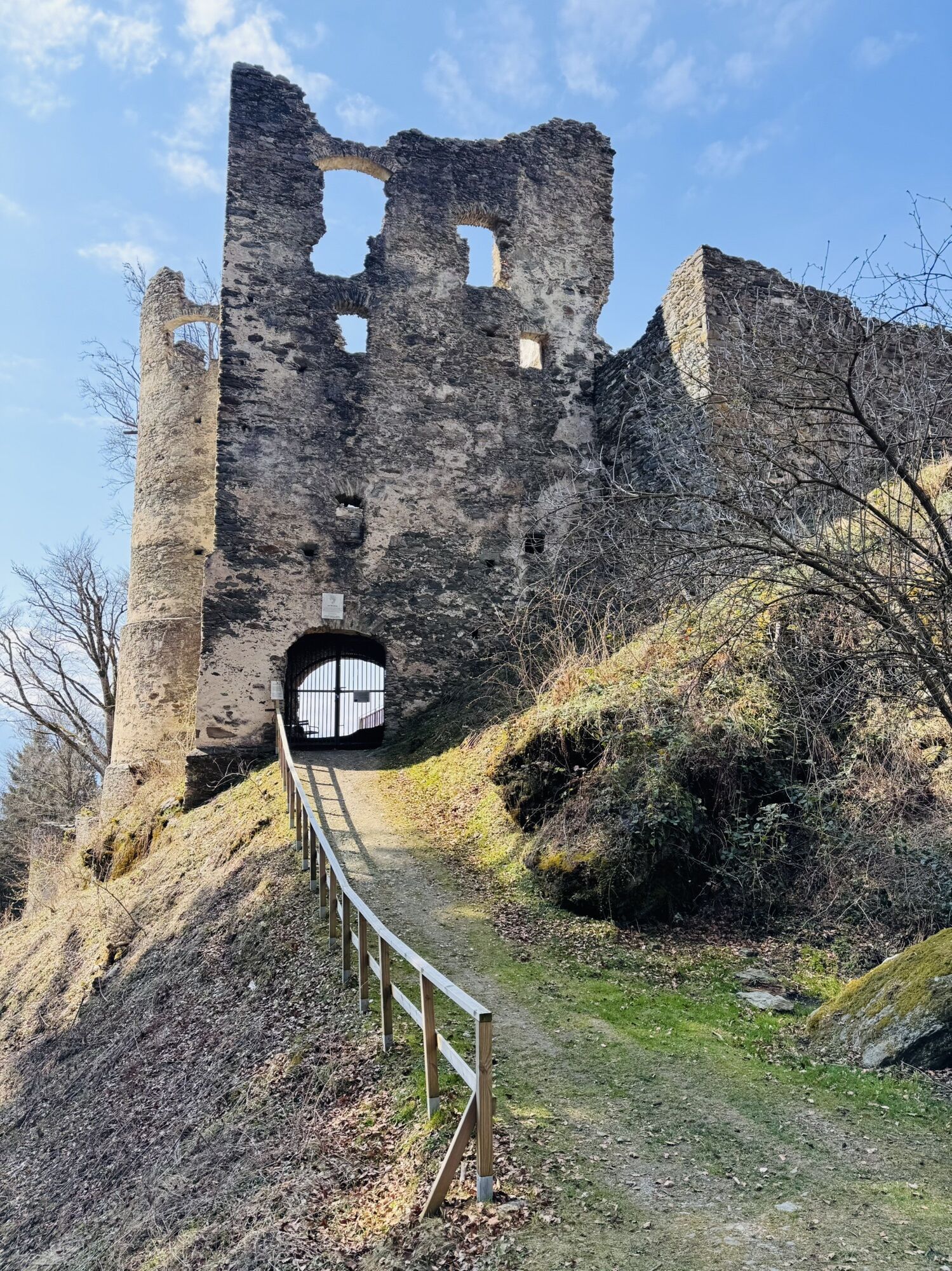
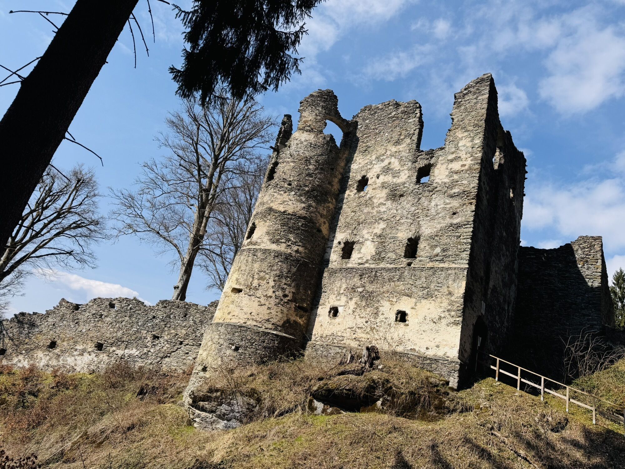
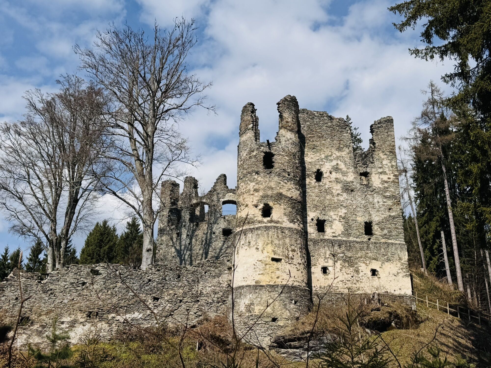
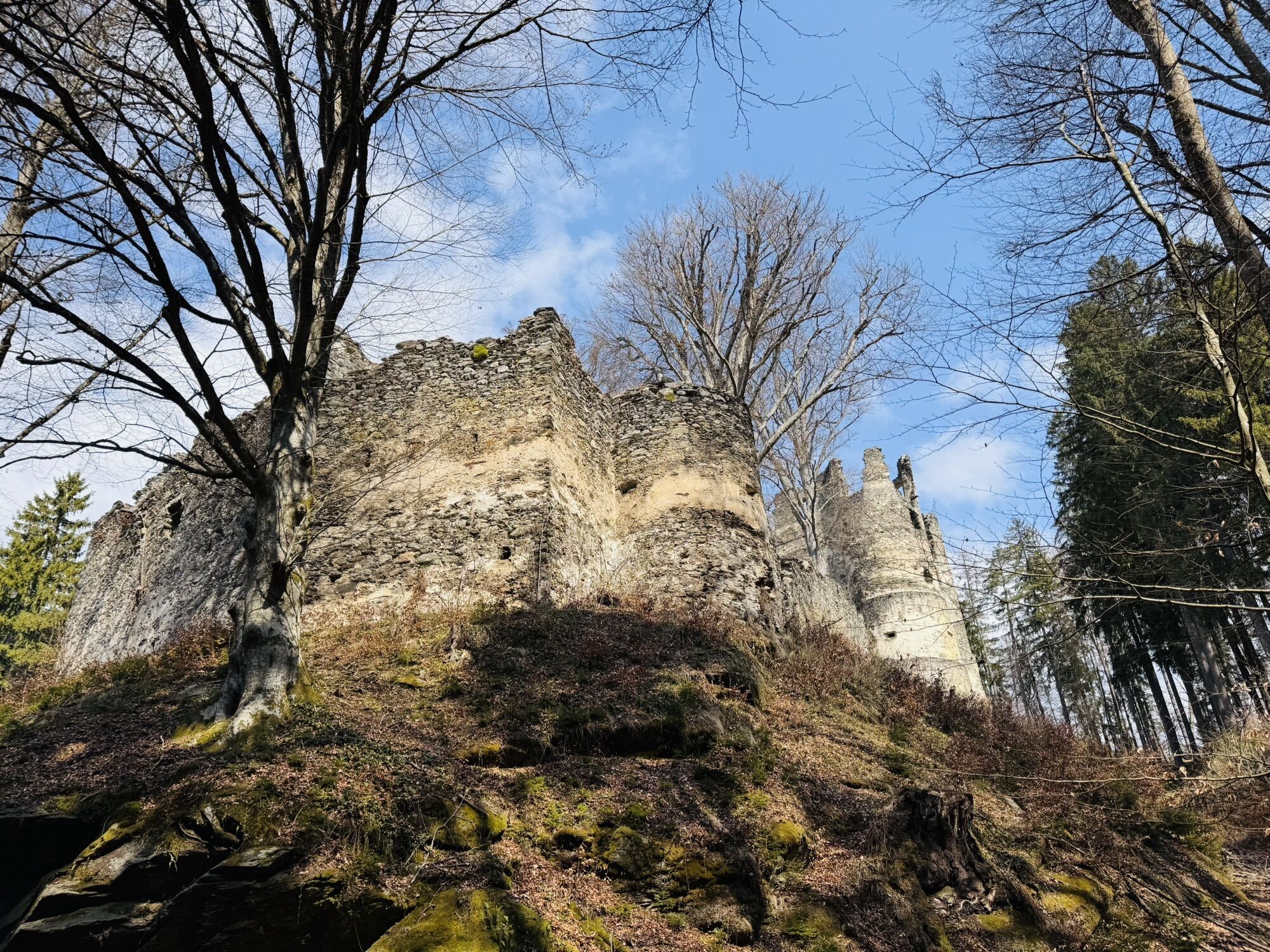
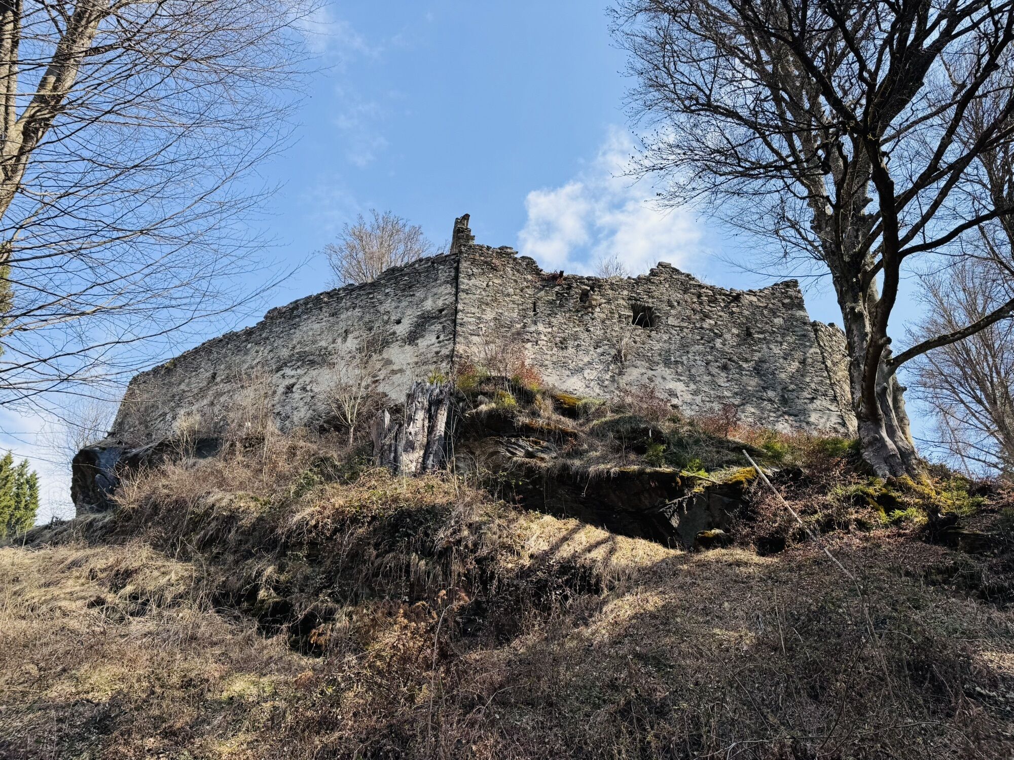
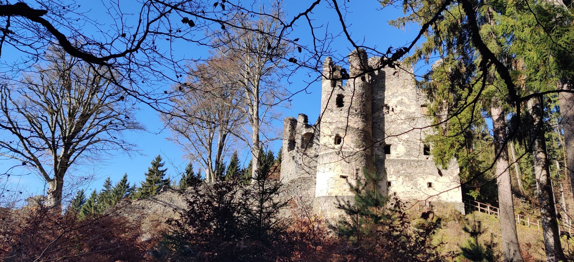
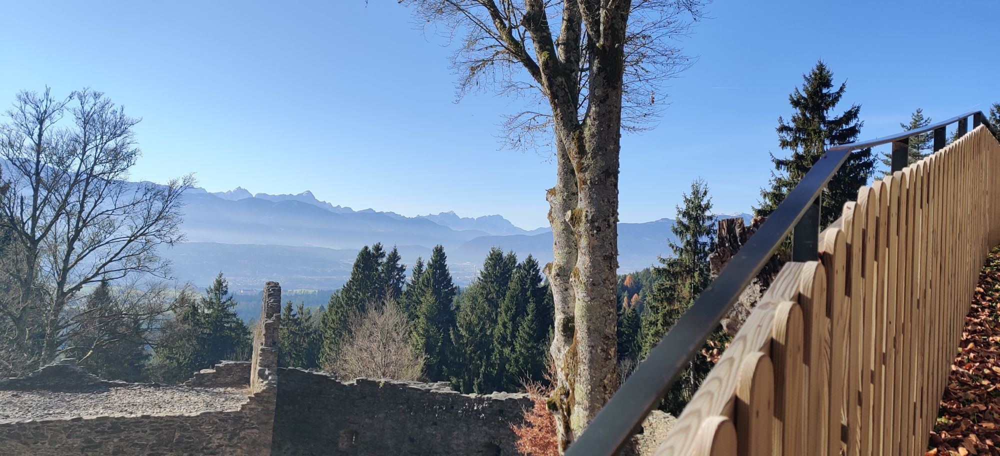
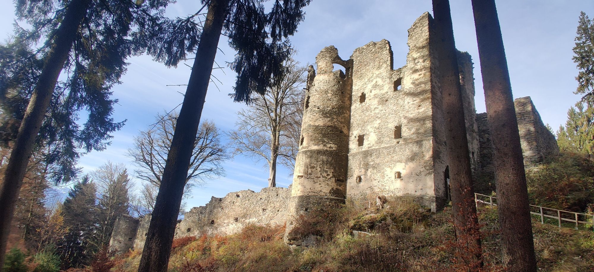
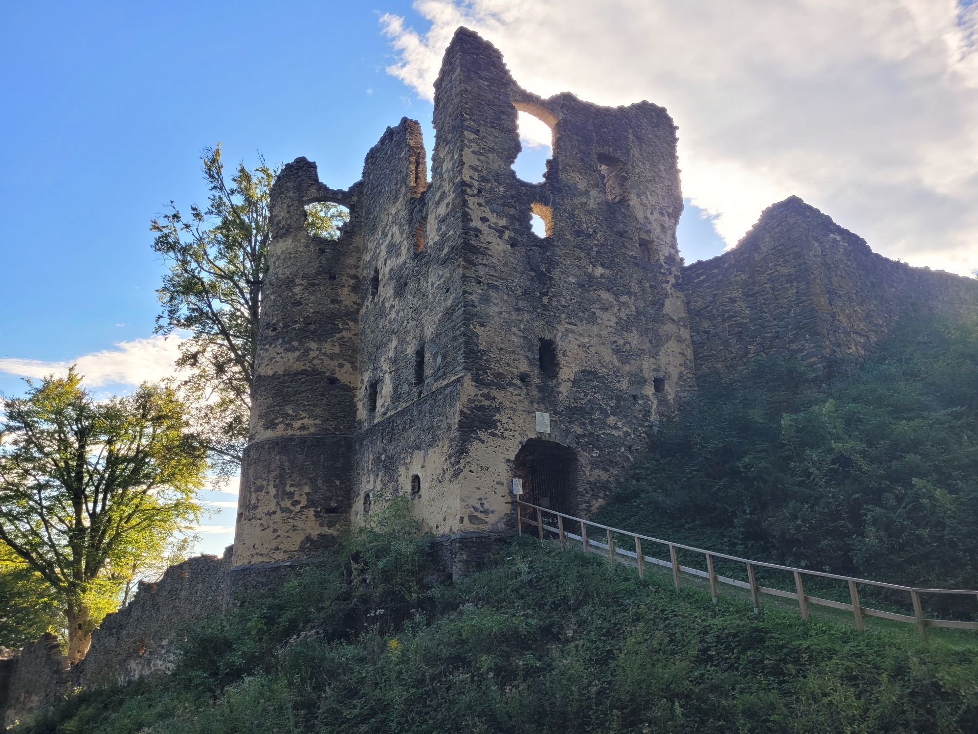
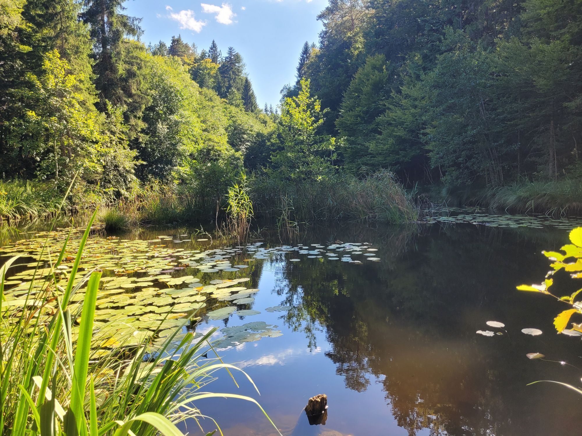
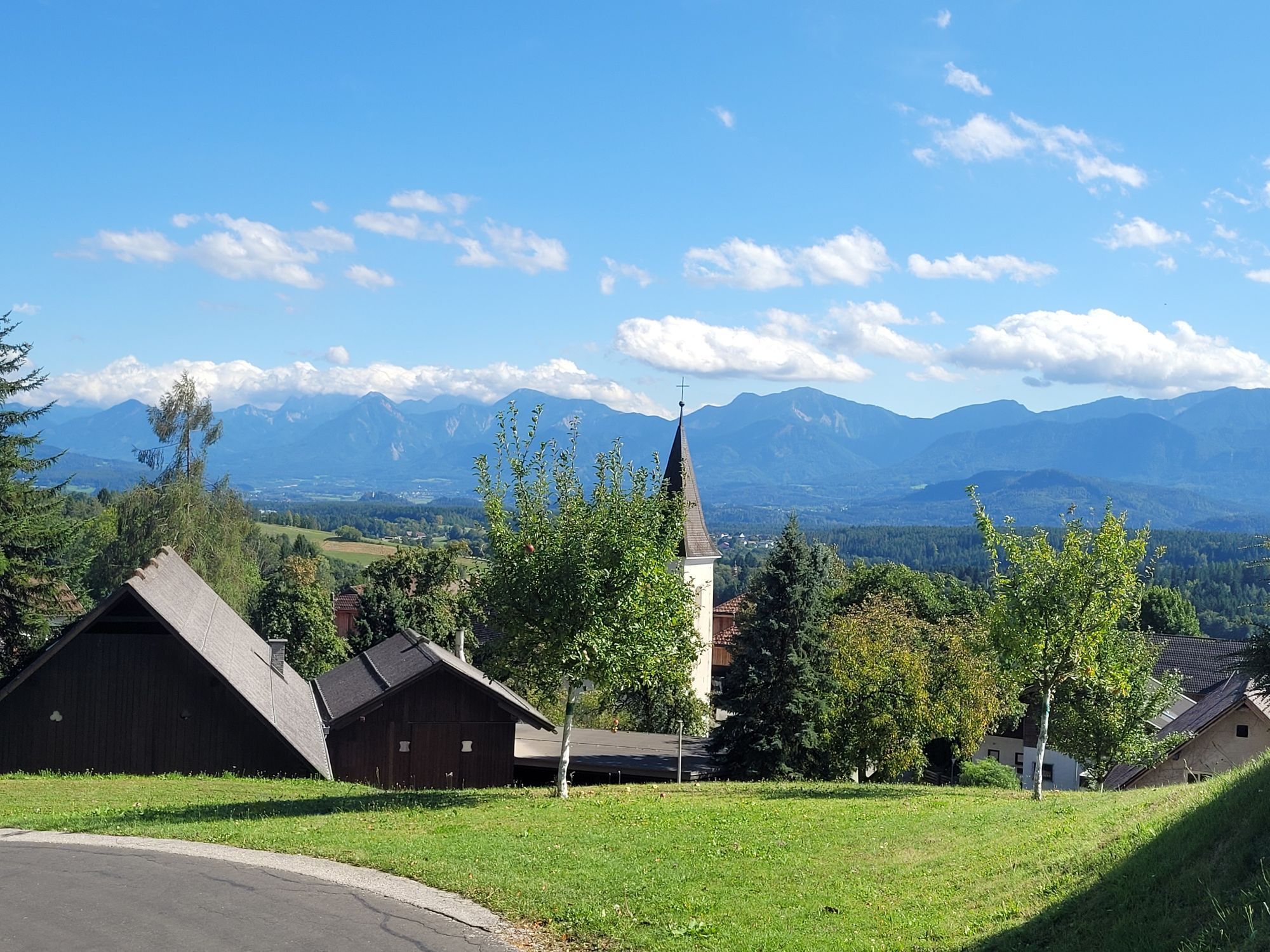
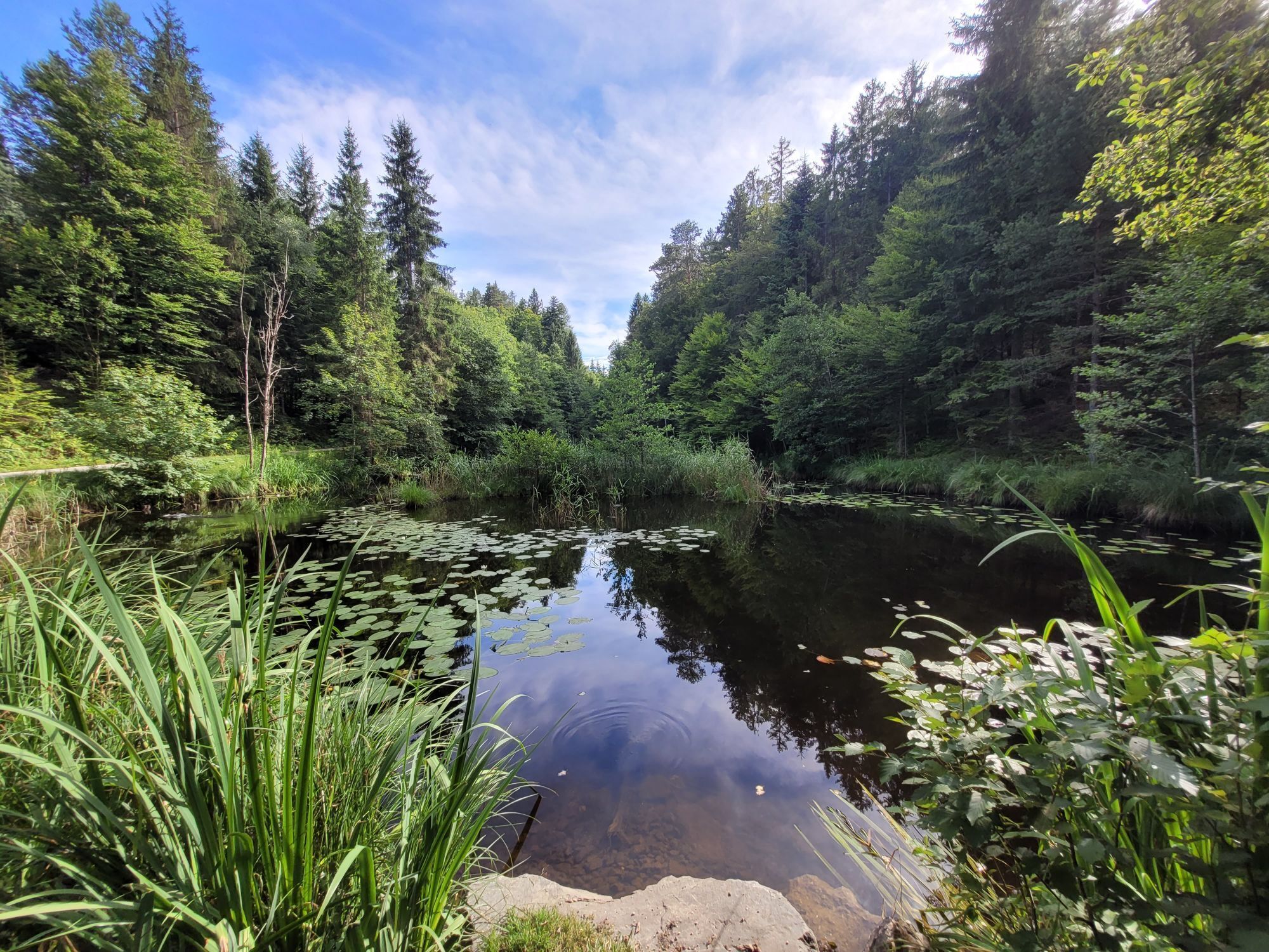
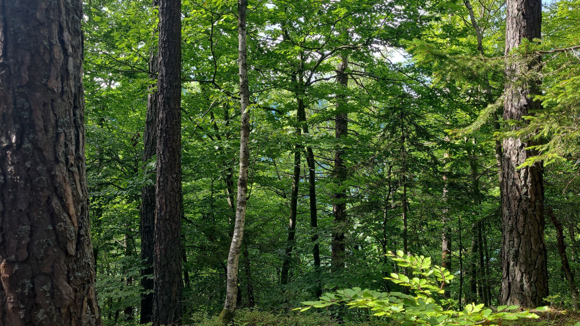
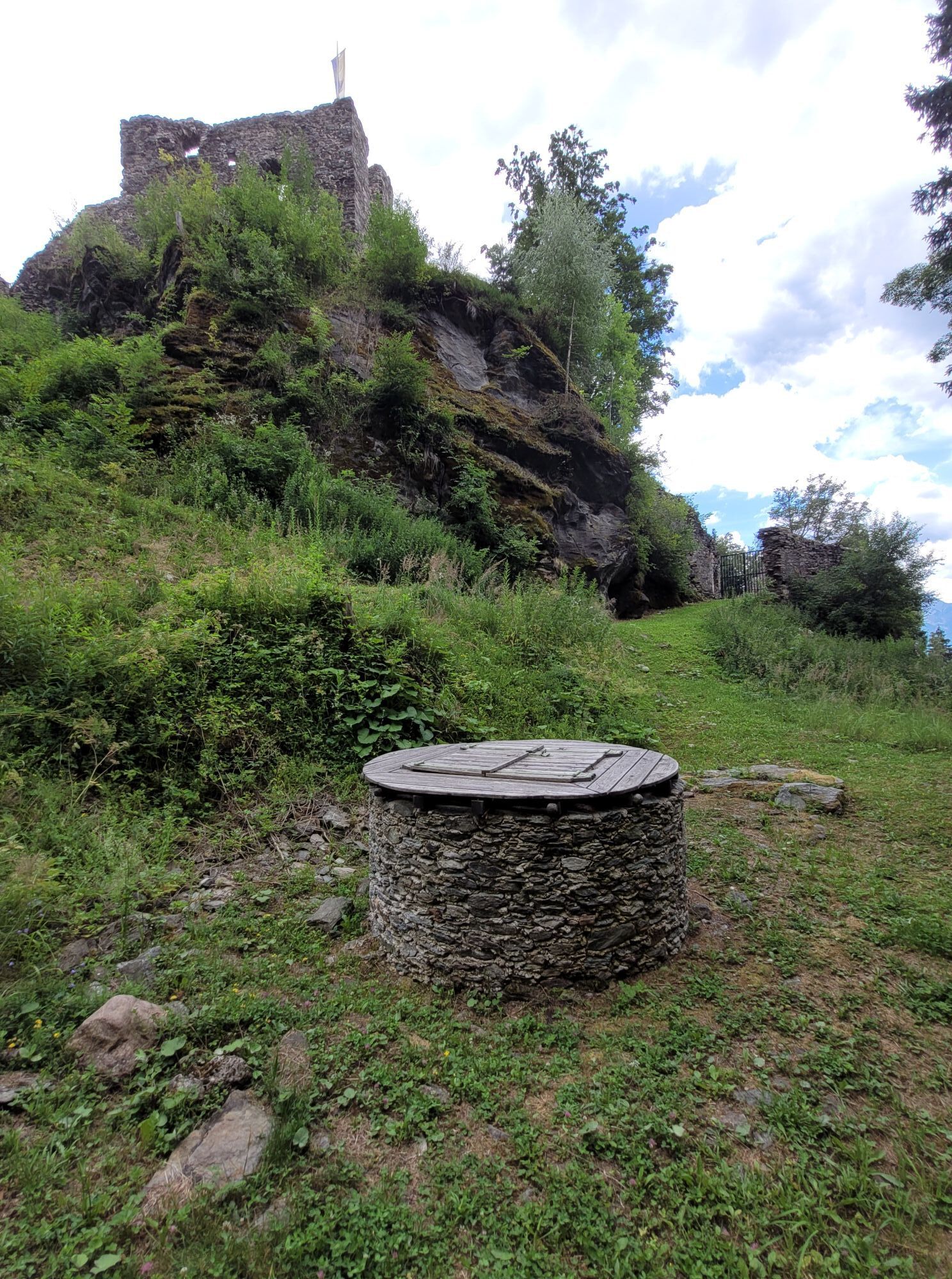
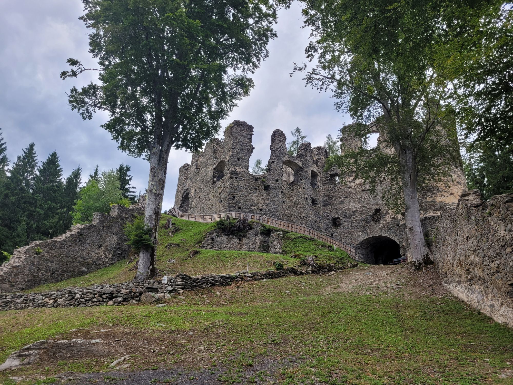
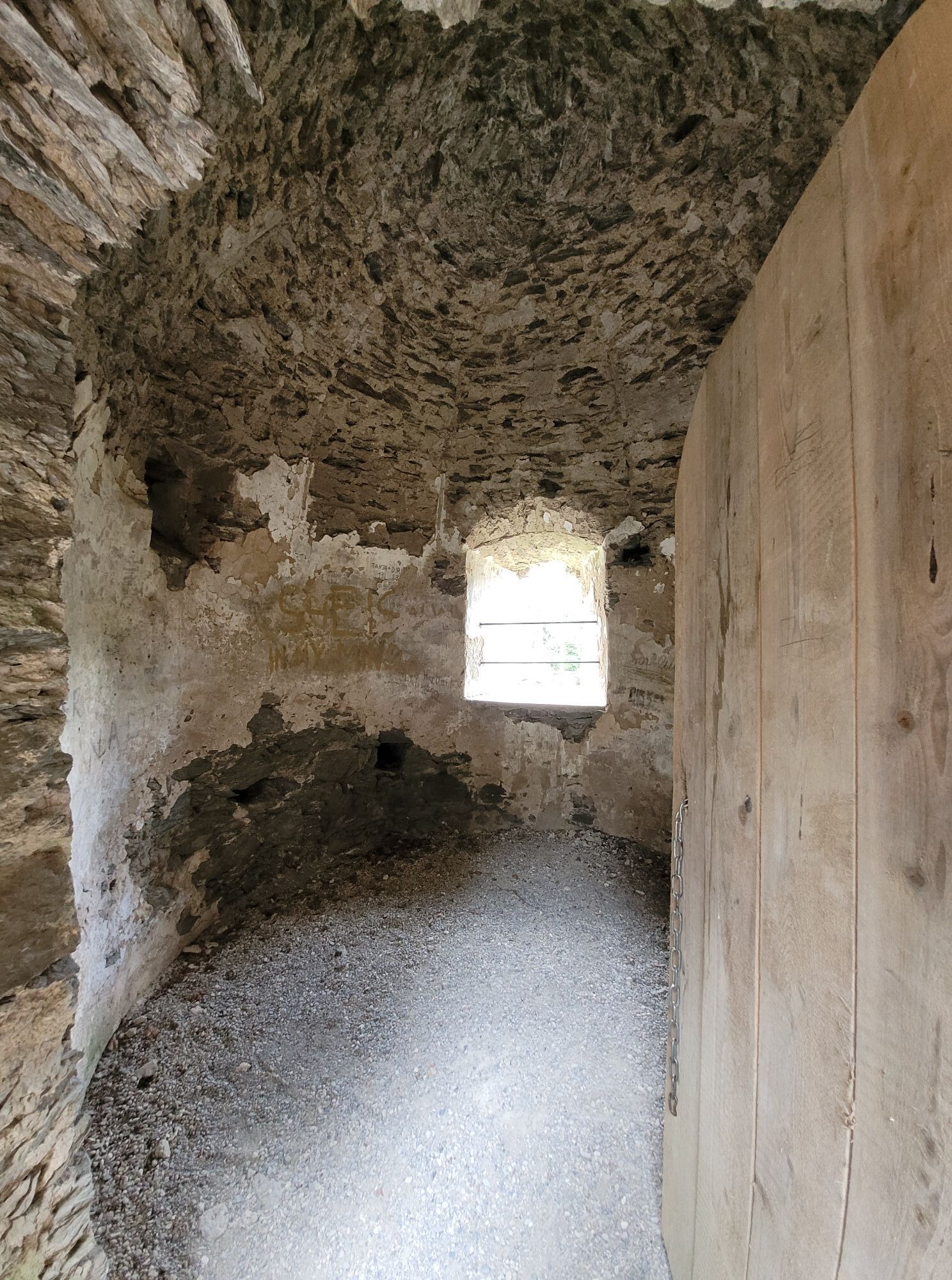
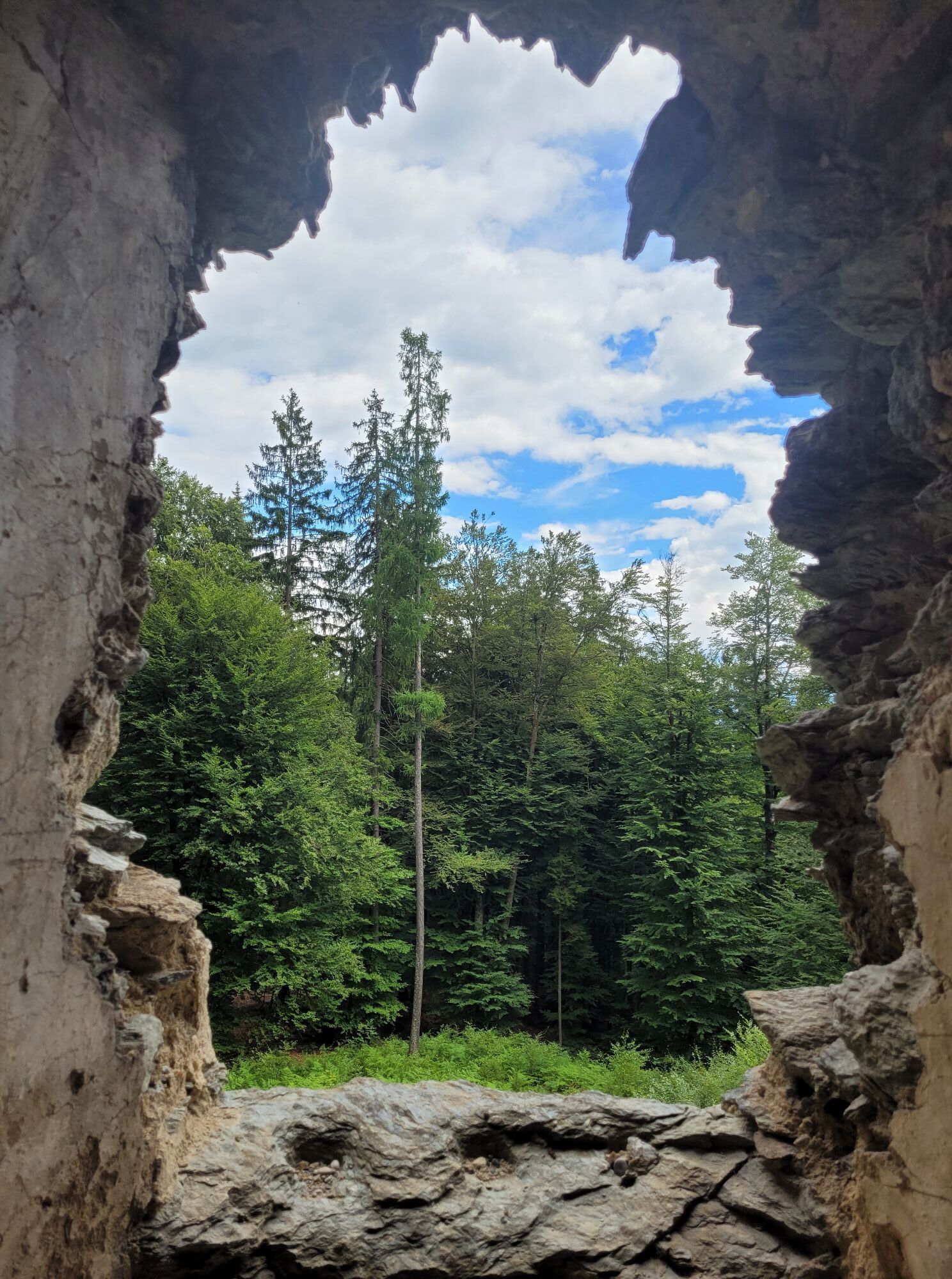
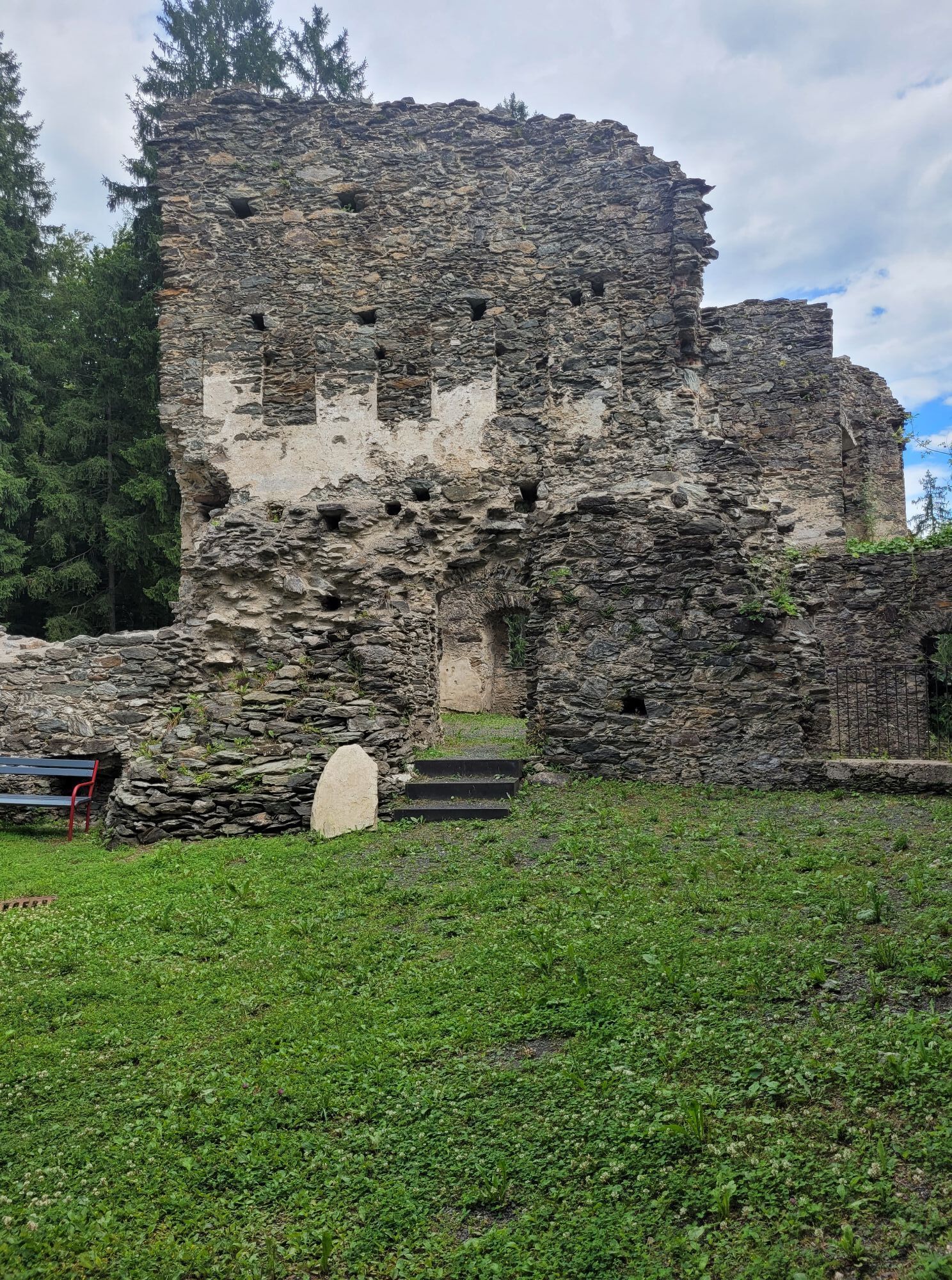
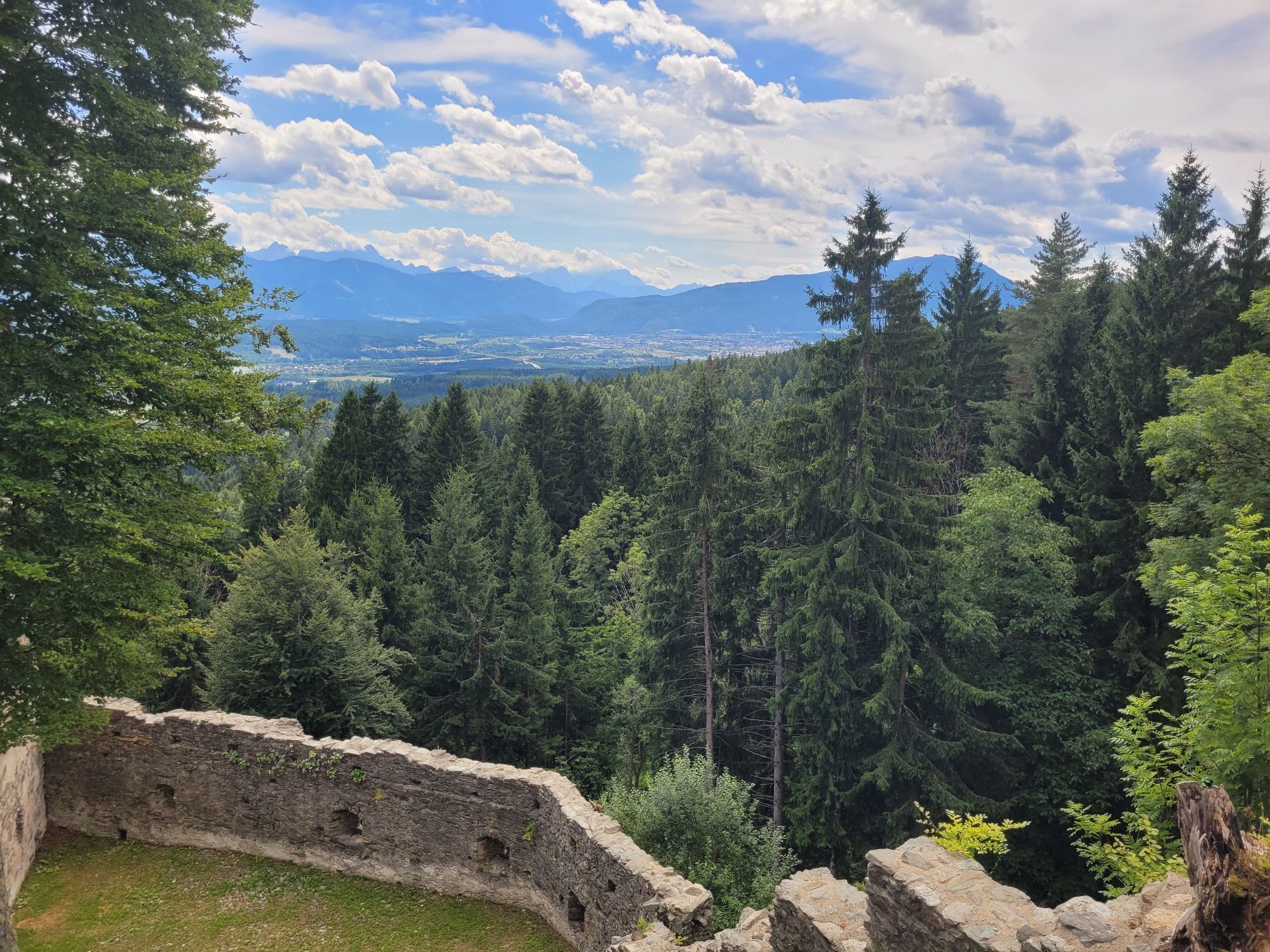
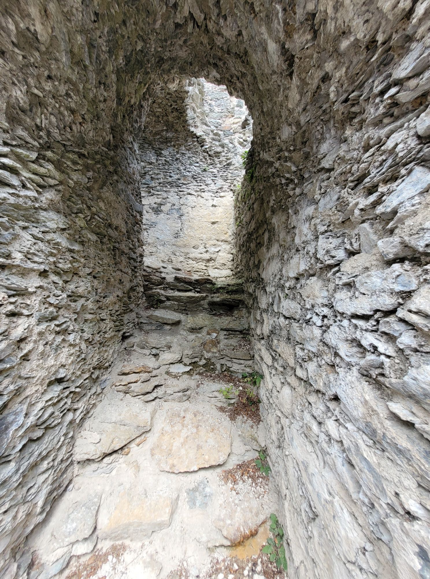
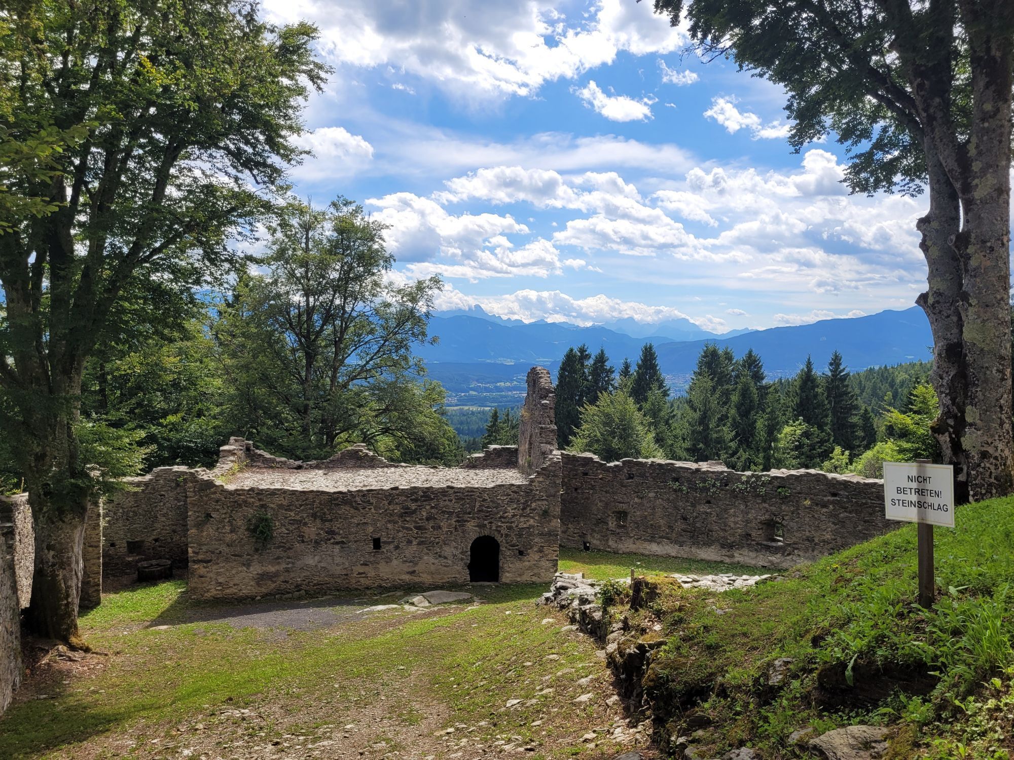
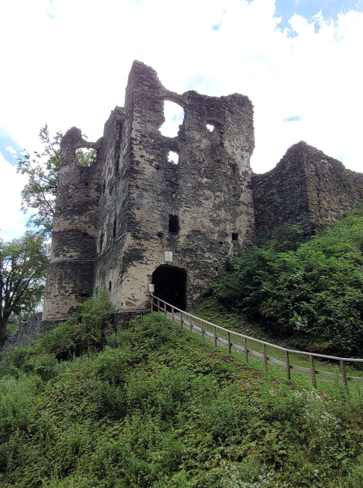
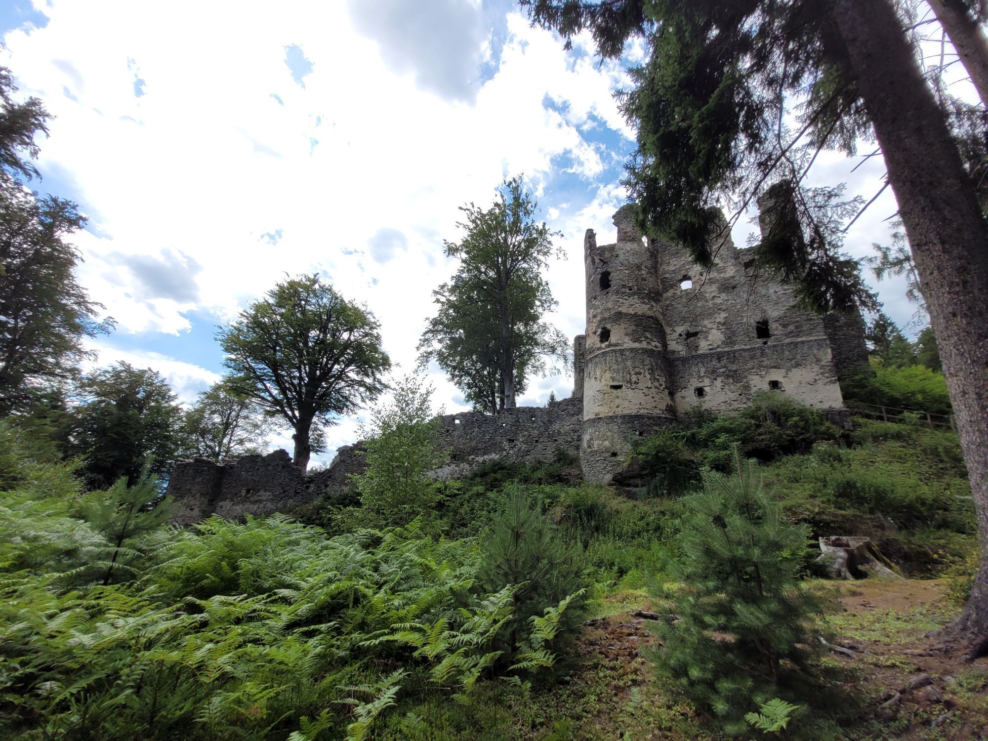
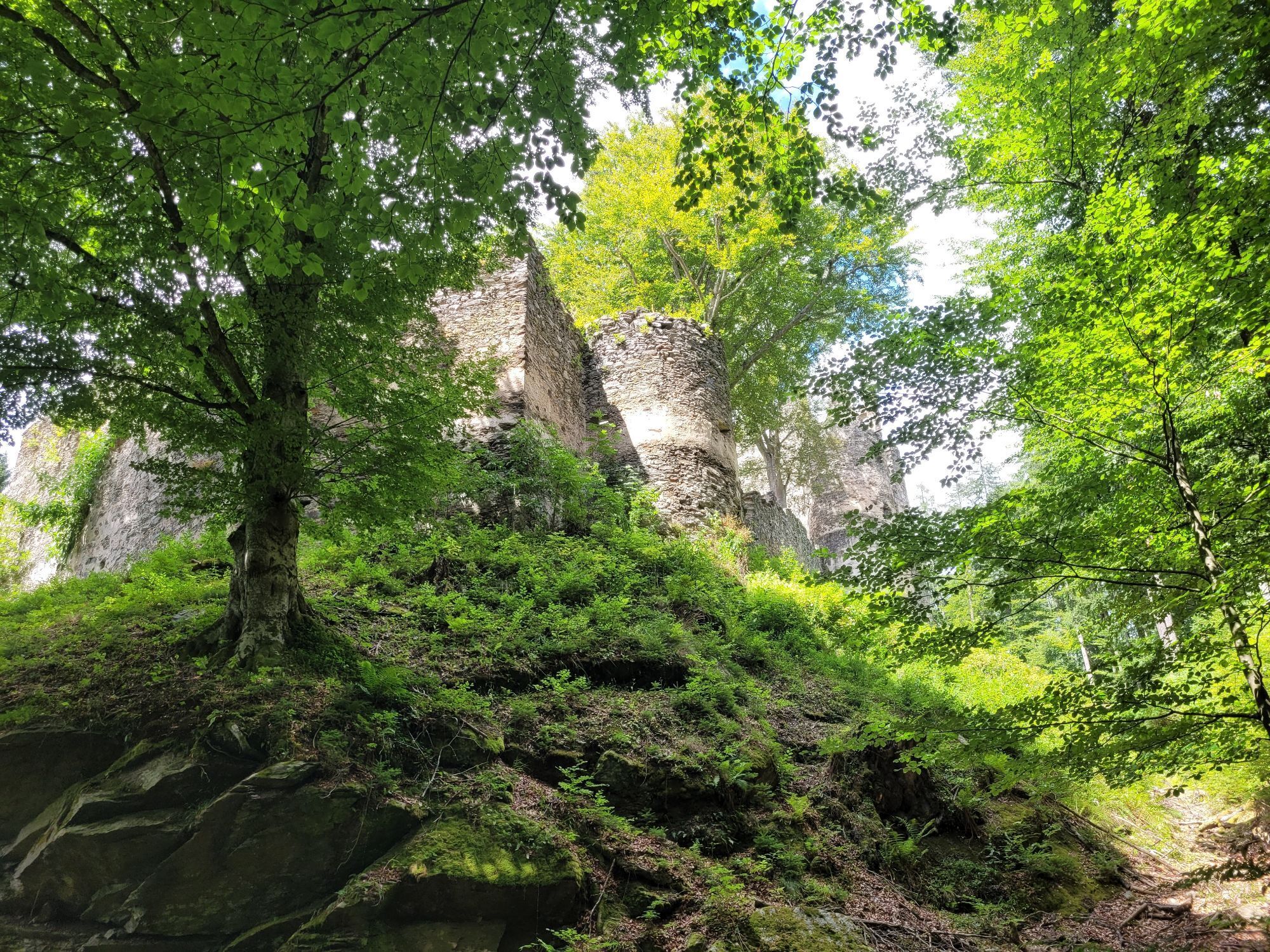
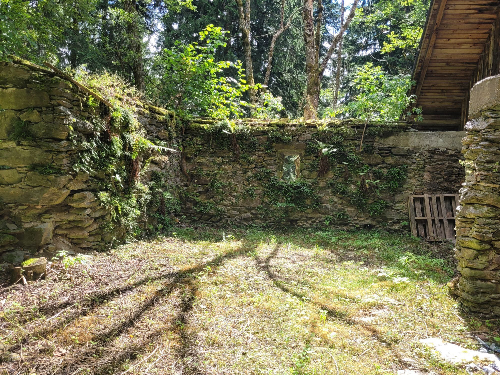
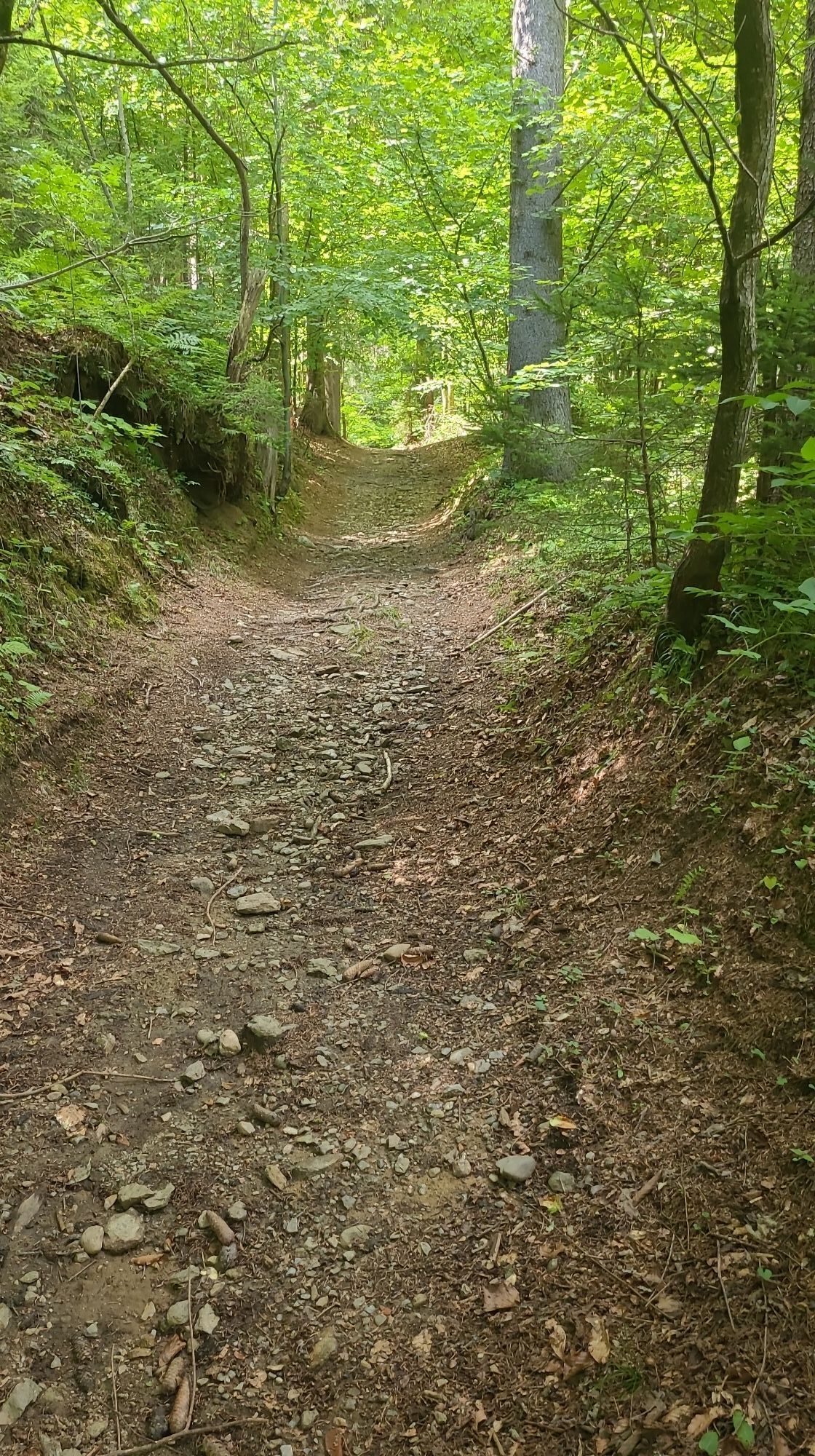
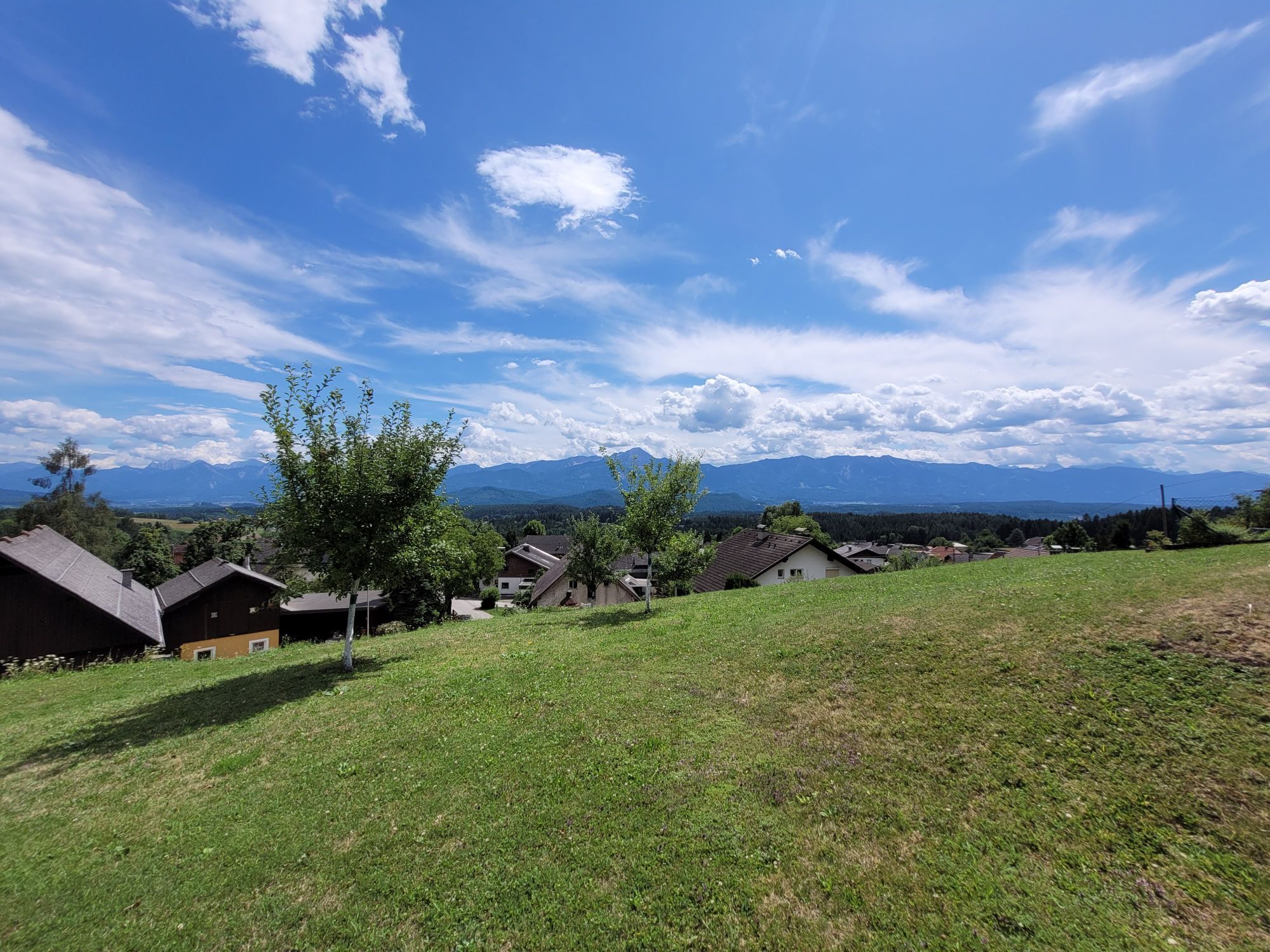
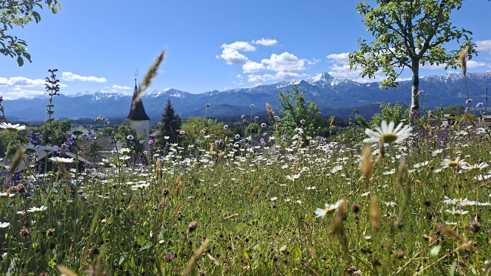
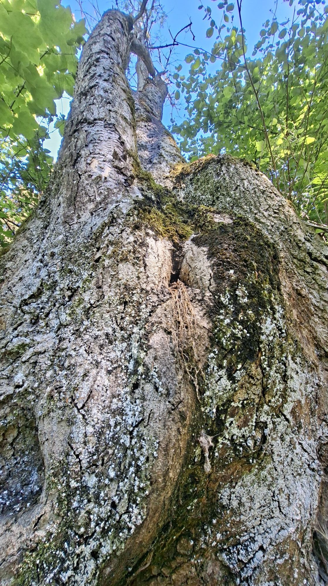
From Umberg, a short ascent along paths with cart tracks leads to the remarkable Aichelberg castle ruins. The Aichelberg castle (also Eichelberg) was built around 1200 by the Knights of Aichelberg. It...
From Umberg, a short ascent along paths with cart tracks leads to the remarkable Aichelberg castle ruins. The Aichelberg castle (also Eichelberg) was built around 1200 by the Knights of Aichelberg. It belonged to a series of castles, all built on special rocks.
The lords could communicate by signal fires and coordinate with each other. Around 1500, the castle was destroyed by the invading Hungarians under King Matthias Corvinus.
The owner family Khevenhüller received permission around 1511 to build a fortification at Damtschach instead of the destroyed castle. Aichelberg has thus been a ruin and left to decay for 500 years.
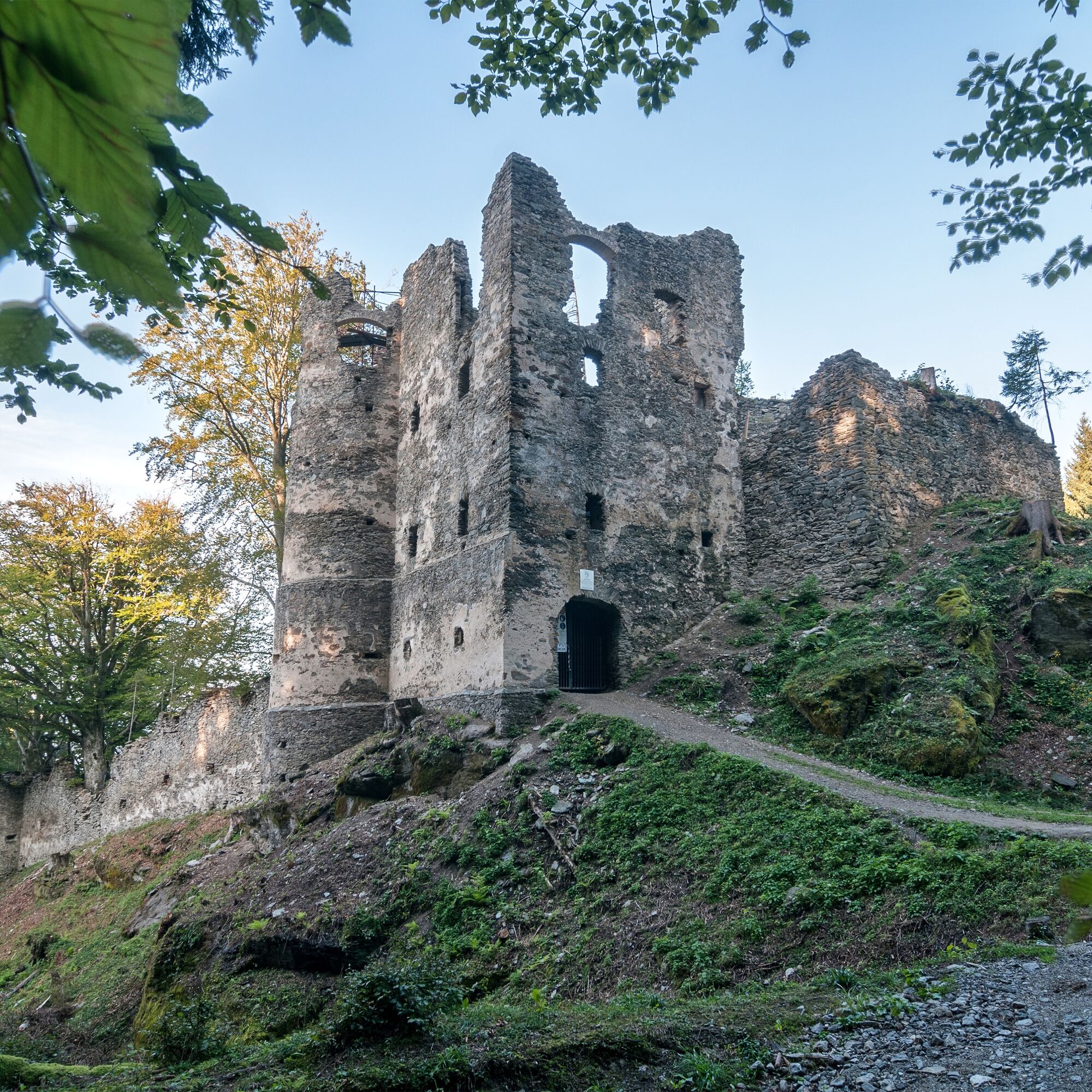

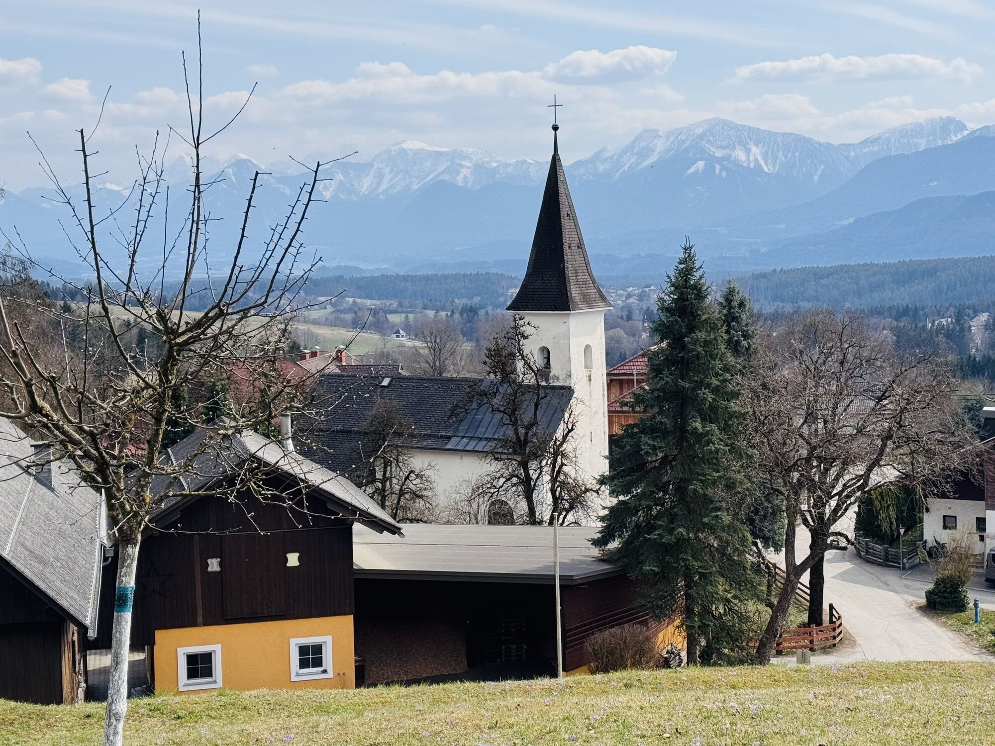
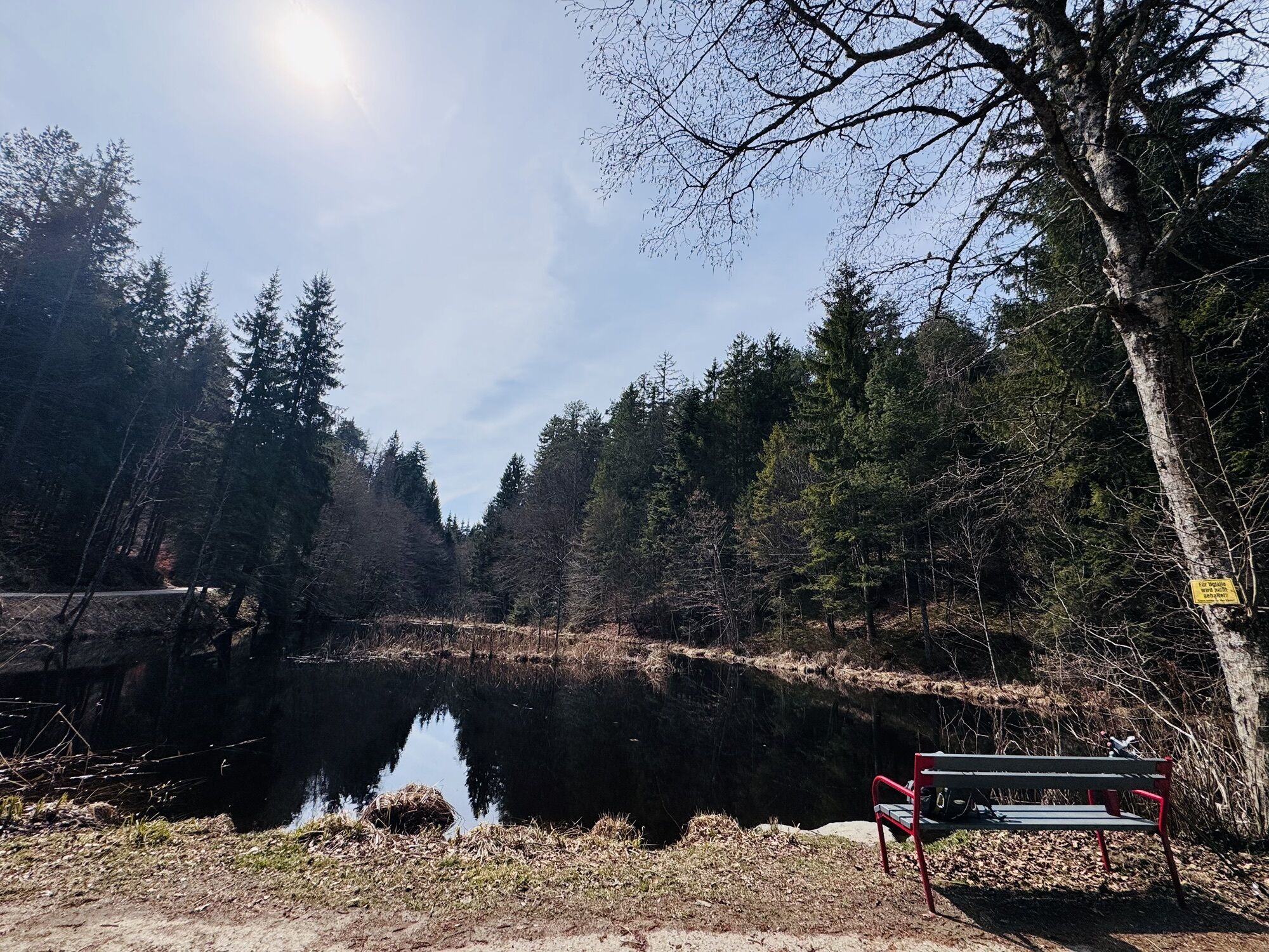
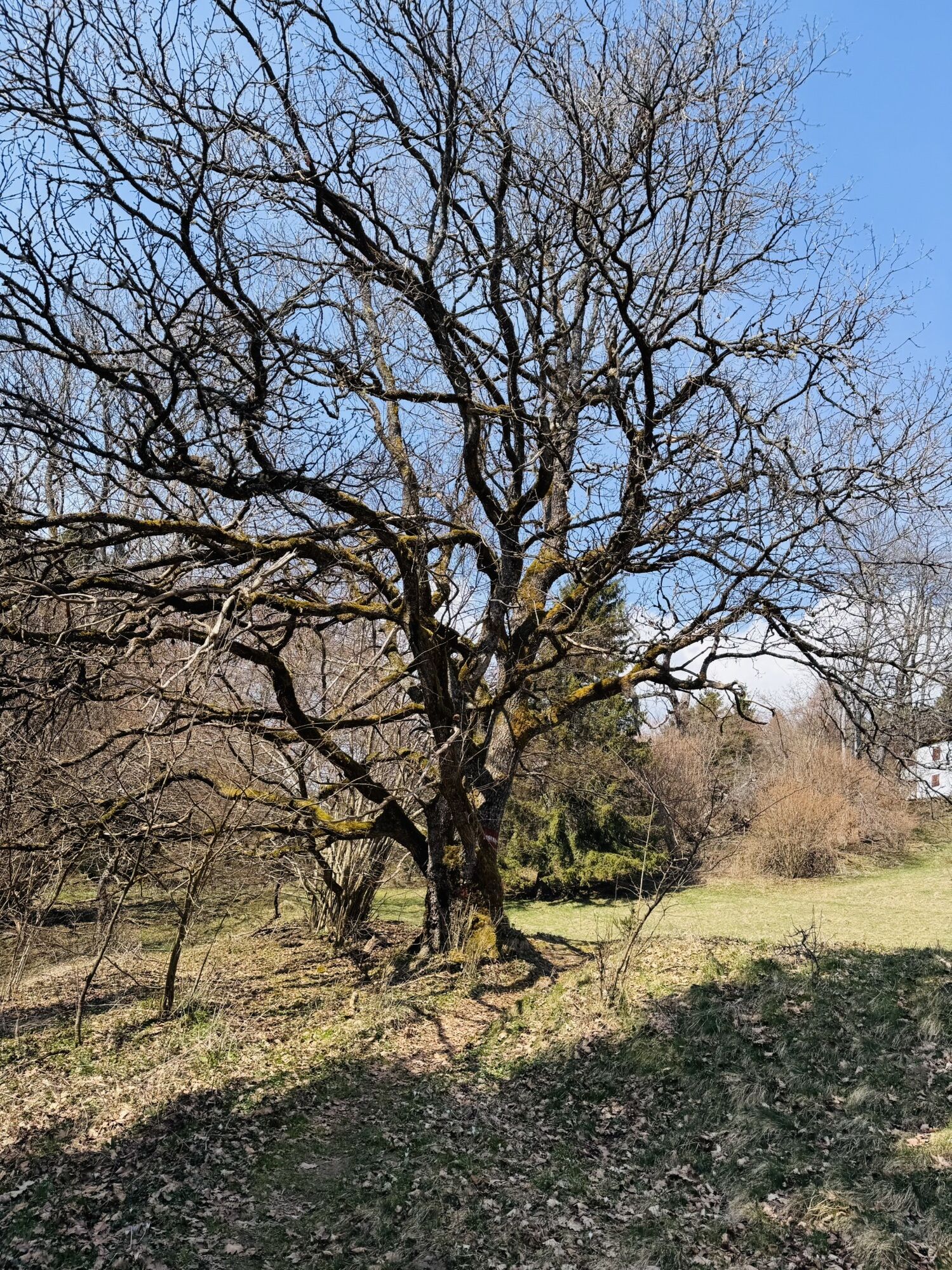
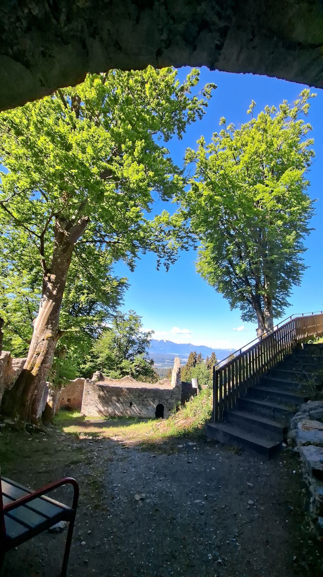
Starting from the small car park at the church in Umberg, the signage initially leads along an ascending asphalt road (Eichelburgweg) towards Rauterteich, Rauterkogel, and the castle ruins. After a few minutes' walk, a partly rooty forest path branches off on the left, which crosses the asphalt road again after a few minutes. Those who carefully walk the last ascent to the castle ruins can recognize the old remains of walls and cart tracks before the ruin, lined by beeches and oaks, impressively rises above the hiker.
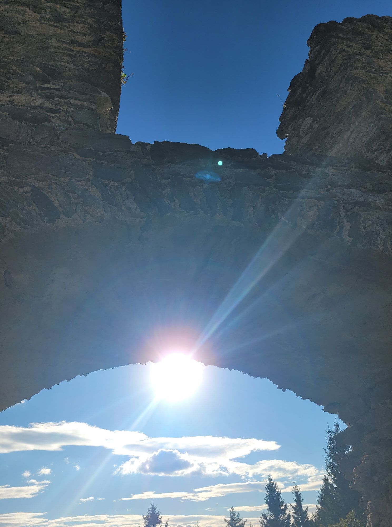
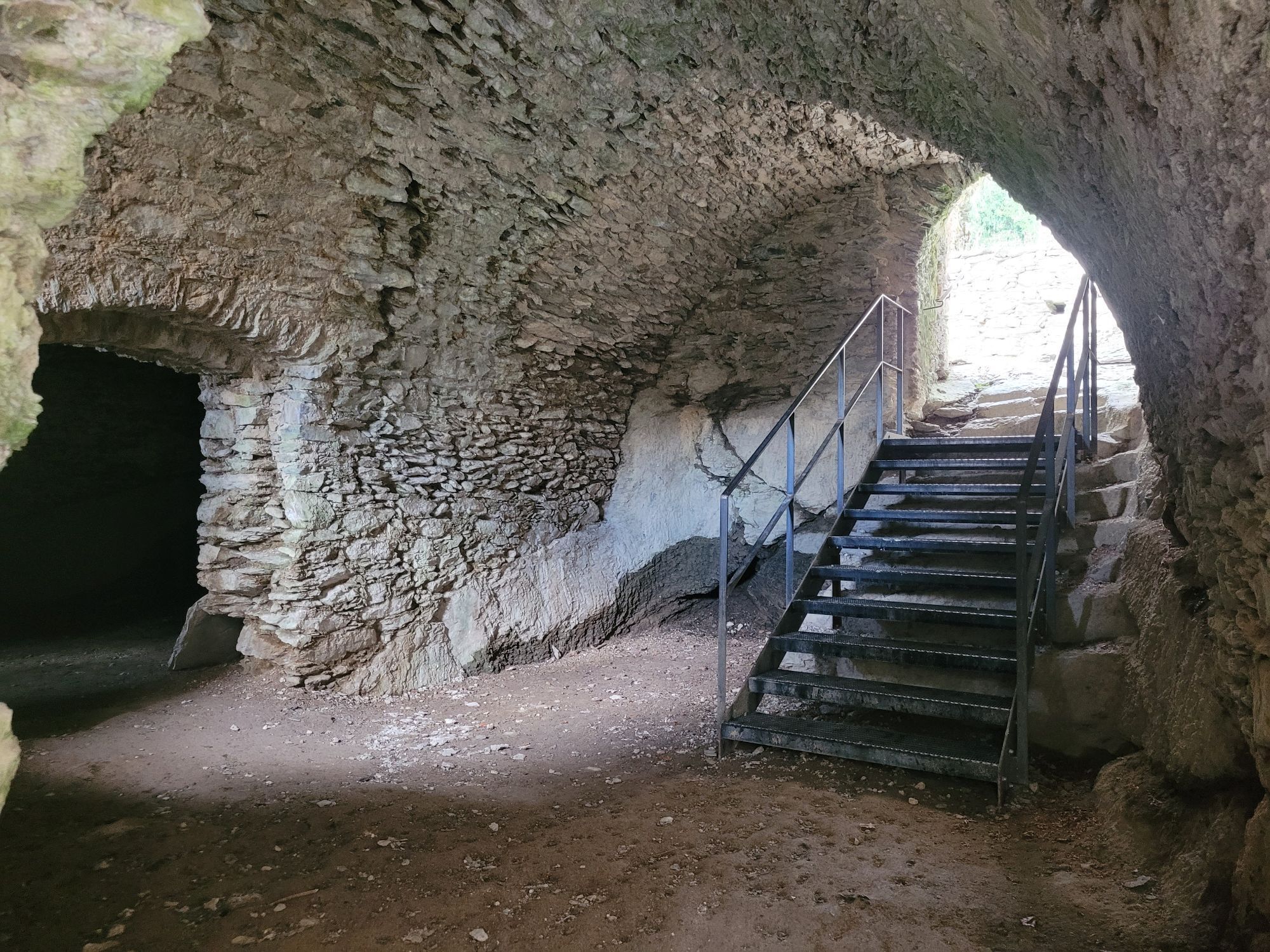
The Aichelberg ruins are freely accessible, and the northern gate and its gate hall can be entered. It is recommended to read Steinegger/Rohmberg for detailed information on the history, architectural research, and archaeology of the Aichelberg castle ruins.
Those who want to return to the car park can take the path heading west in a short descent to the asphalt road, which they follow downhill back to Umberg.
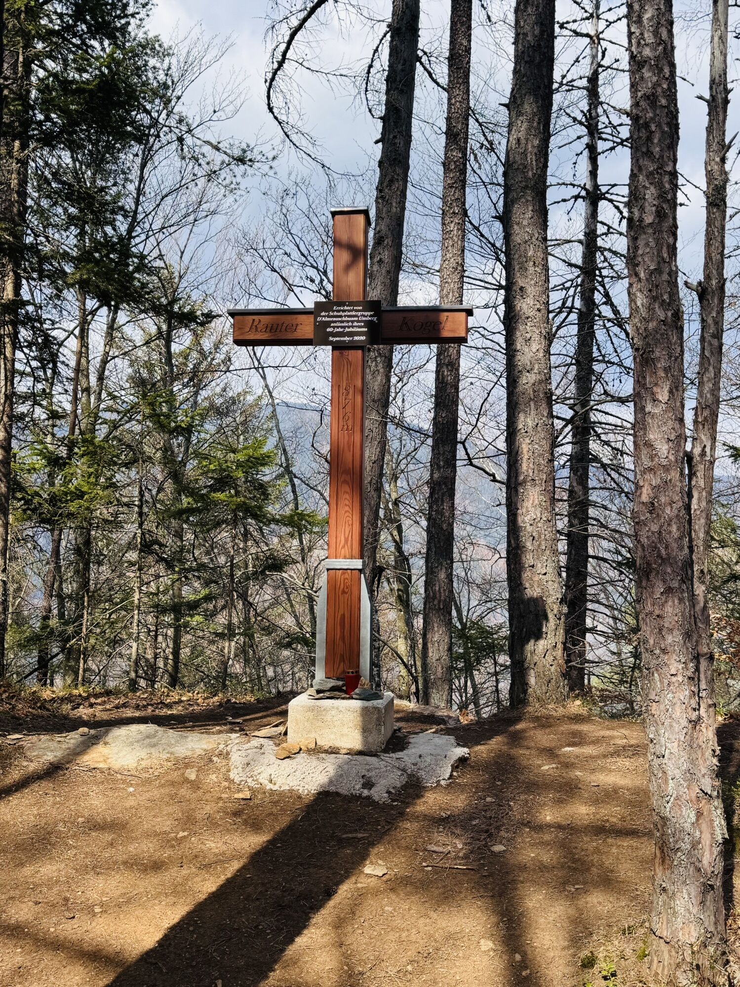
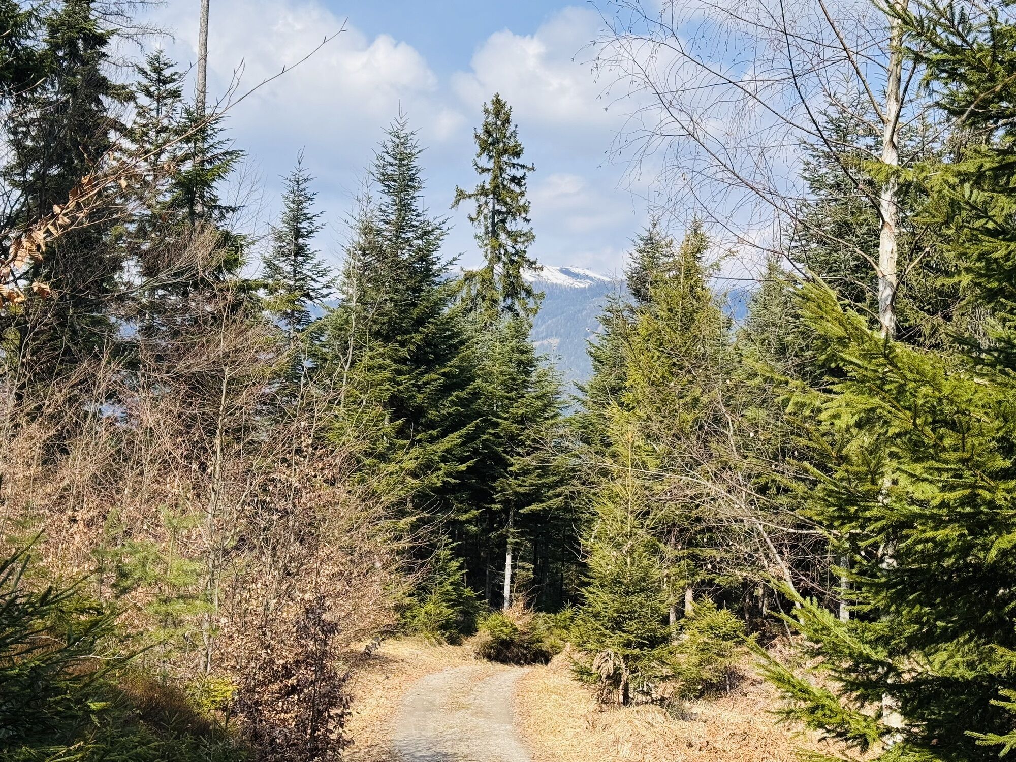
For the further ascent to the Rauterkogel, choose the forest road heading north descending to the Rauterteich until you reach Path 1732. Here you enter a beautiful pasture north of the Rauterteich and ascend gently over the soft meadows, which are mowed by cows in summer. You leave the pasture via a small step. On the forest road, you can keep right towards the buildings (warning: unmarked!) and after a few meters turn left onto a forest trail, cross another forest road, and reach the Rauterkogel via the last ascent.
Alternatively, follow the signposting towards Kumberg and at the next intersection turn sharply to the right and follow the Rauterkogel signposting via the forest road to the summit.
To return to Umberg, you can take the same path or go over the southwest side of the Rauterteich to the asphalt road and follow it to the starting point.
Tak
Trekking shoes with profile sole, backpack, functional underwear, rainwear, hiking poles, food and drink, maps, first aid, mobile phone
Despite extensive renovation work, loose stones can always be expected along the castle walls and inside. Please watch for any signs and avoid areas where you feel unsafe.
Take the B83 towards Wernberg and via Trabeniger Straße to Schloss Damtschach, then turn onto Umberger Straße and drive to the church in Umberg.
Umberg is accessible by public transportation via the Damtschach Heimatsiedlung stop and a longer ascent.
There are few parking spaces available at the church in Umberg. Please do not block entrances and driveways of residents.



 Uzyskaj wgląd
Zawsze na żywo z ponad 9 500 kamer internetowych. bergfex Jako użytkownik Pro, możesz teraz zobaczyć odpowiednie kamery internetowe dla wielu wycieczek w aplikacji wycieczki od. Pozwala to na bezpośredni podgląd aktualnych warunków.
Uzyskaj wgląd
Zawsze na żywo z ponad 9 500 kamer internetowych. bergfex Jako użytkownik Pro, możesz teraz zobaczyć odpowiednie kamery internetowe dla wielu wycieczek w aplikacji wycieczki od. Pozwala to na bezpośredni podgląd aktualnych warunków.


Popularne wycieczki w okolicy
-
4,7
4 Huts route
średniWędrówka 8,96 km -
4,5
Hoher Gallin route
średniWędrówka 7,09 km -
4,5
Lake circular trail
światłoNordic Walking 9,85 km -
4,7
Rotschitza Klamm Klettersteig B/C
średniVia ferrata 3,73 km -
4,1
Slow Trail Bleistätter Moor (Variant A)
światłoWędrówka 7,22 km -
4,9
Gratschenitzen Kreuz
ciężkiWycieczka wysokogórska 3 km -
3,9
Lake Ossiacher See cycle path – R2 & R2A
średniJazda na rowerze 28,2 km -
4,6
Wasserfälle
średniWędrówka 2,48 km -
3,8
Forstsee Route
światłoWędrówka 4,26 km -
4,5
Kopein, Bertahütte, Ferlacher Spitz (29)
średniWędrówka zimą 12,8 km
Wędrówki i tropienie


Nie przegap ofert i inspiracji na następne wakacje
Twój adres e-mail została dodana do listy mailingowej.





